Around the World VFR (ish) - now complete!

Leg 5 - St Johns, Canada (CYYT St John’s International) to Toronto, Canada (CYTZ Toronto/City Centre)


This leg: 1,220Nm, 4:47 flying time
Total so far: 5,451Nm, 20:10 flying time

Today is going to be a day of cruising through Canada’s major cities, but first I’ve got a long haul from St Johns to Halifax - where I was supposed to get to yesterday. I think my fuel consumption is up the spout because I am pretty much rocking along at 2,500 ft - don’t think that’s the idea in a turbo prop, but oh well. It’s cloudy and overcast at St John’s this morning as I leave, and realise that Canada has a LOT of trees!

As I head further South, the clouds get lower and heavier, and then I see my first ever MSFS 2020 rainbow!

The increasingly ominous clouds force me higher, so I climb to 6,000 ft to see if I can get some visibility up there. Just and no more.

As I head further South nearing Halifax, the weather closes in even more. Looks like it is time for me to try an ILS into Halifax for real.

A few breaks in the clouds begin to appear though

And as I near Halifax, the clouds clear and the sun breaks through

Nice, clear conditions for landing at Halifax.

Did this flight in real time, no sim rate or teleport - so ran out of time to continue tonight. So looks like an impomptu overnighter in Halifax before heading for the big cities tomorrow to finish off Leg 5.

4 Likes

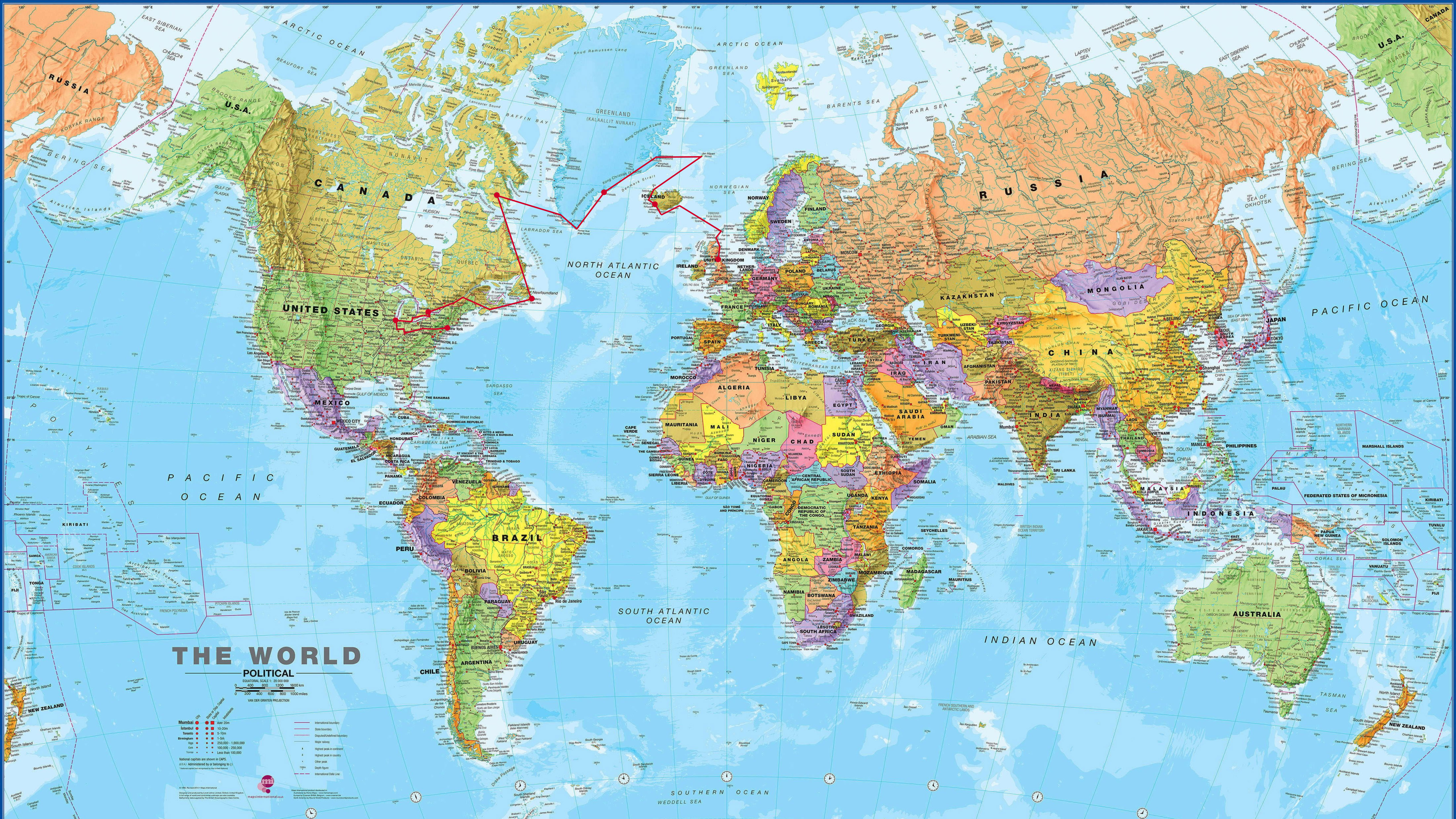
Today’s plan after breakfast was for taking in more of Iceland from the air, as a greater part of getting to Vágar in the Faeroe Islands for the evening. I was planning a launching spot somewhere in the south.

I got an earlier than expected start which was nice because, as I found out later, the extra time was useful. It also became quite the adventure as I fully realized the scope of MSFS’ Live Weather and atmospheric modeling, which caused my first “Pan Pan” radio transmission to Reykjavík Control over Oceanic airspace!

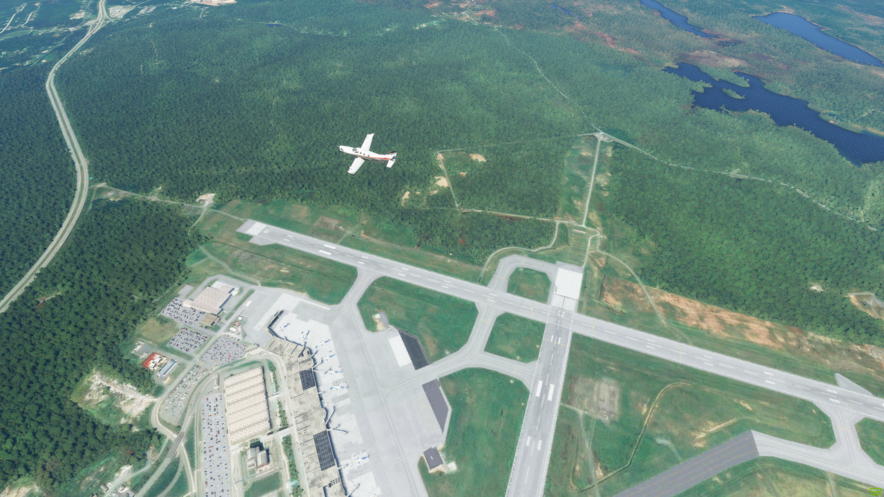
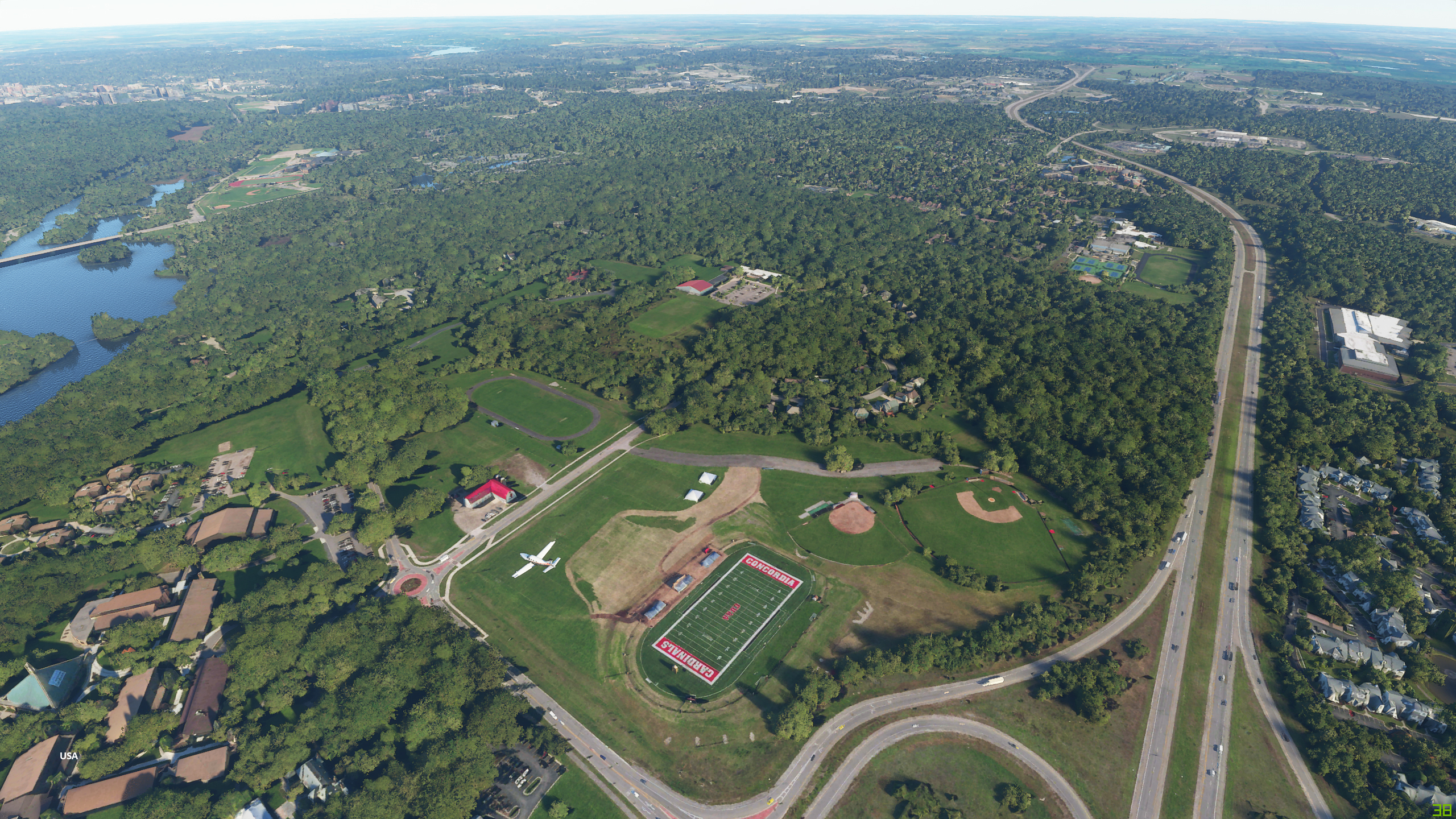
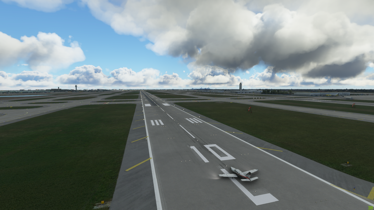
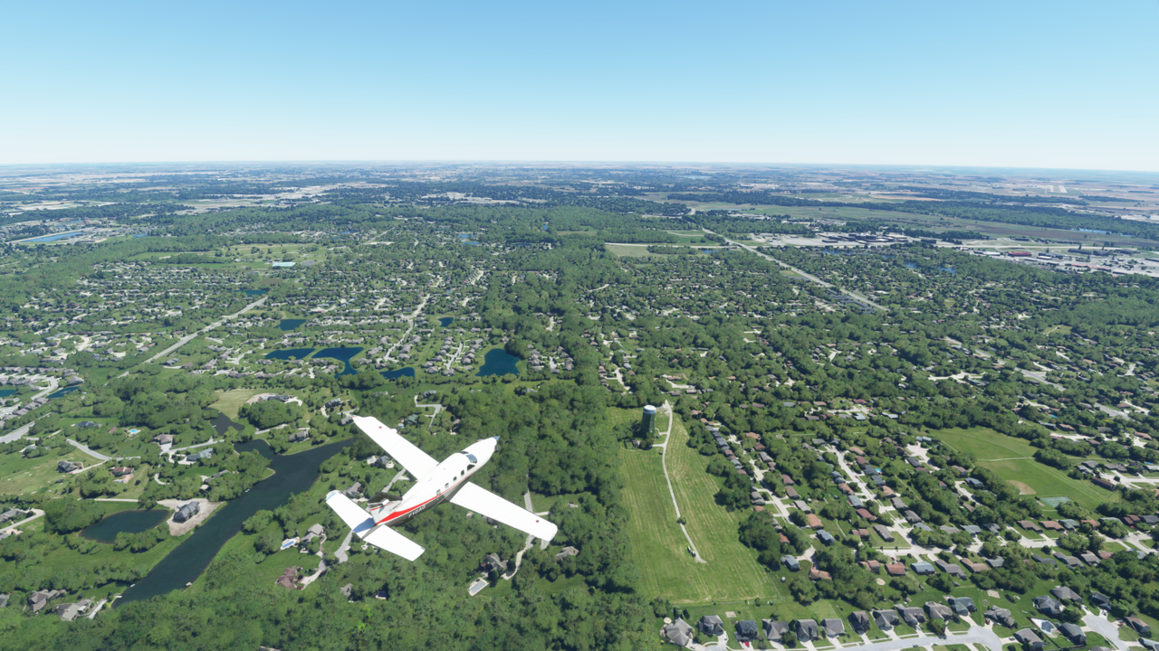
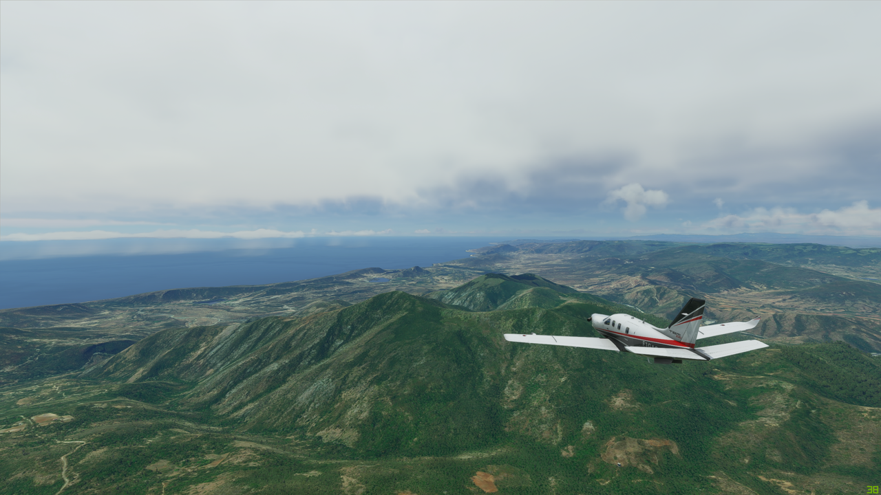
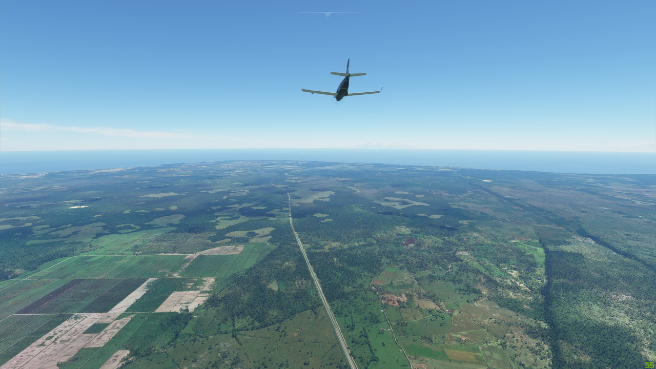
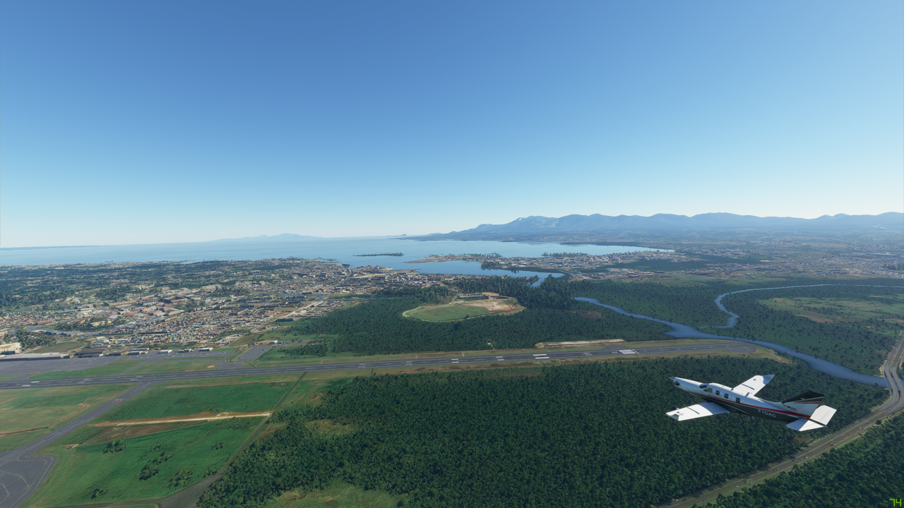
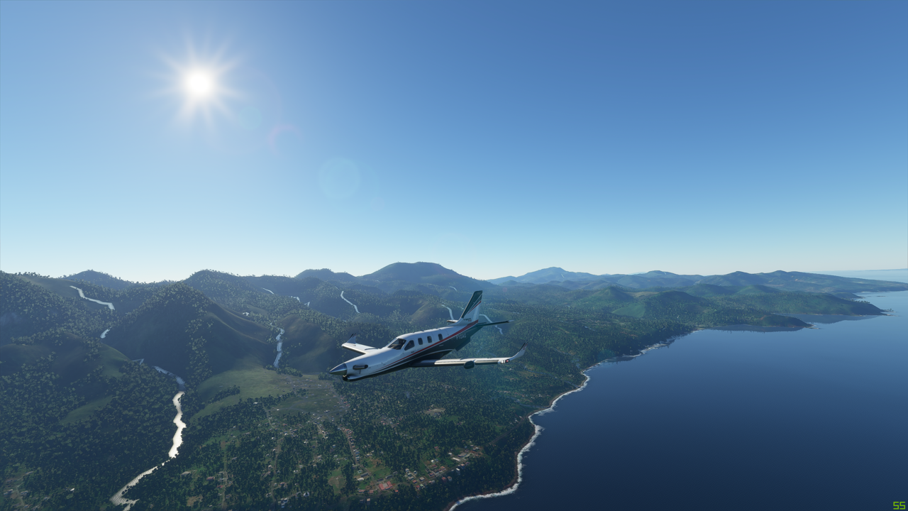
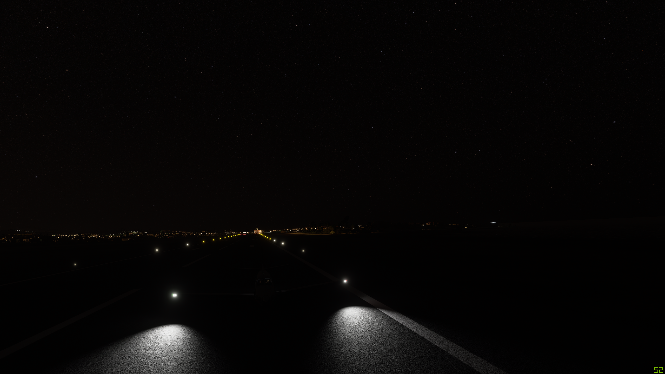
Lined up for takeoff at Flúðir (BIFL) as I start my glacier tour, flying south:


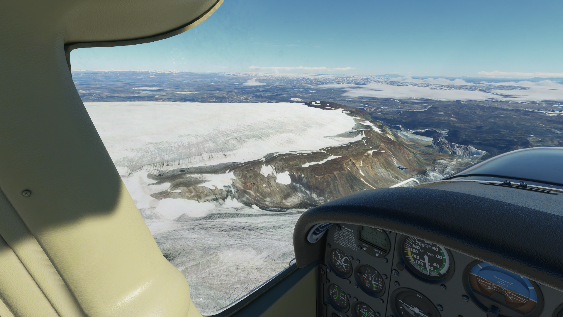
Surprisingly this glacier on the way toward Vatnajökull National Park, impressive as it is, doesn’t have a name. Can’t miss it though:


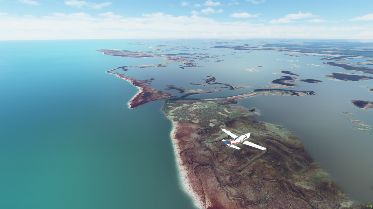
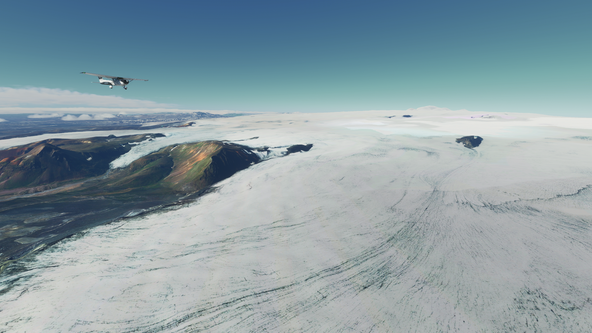
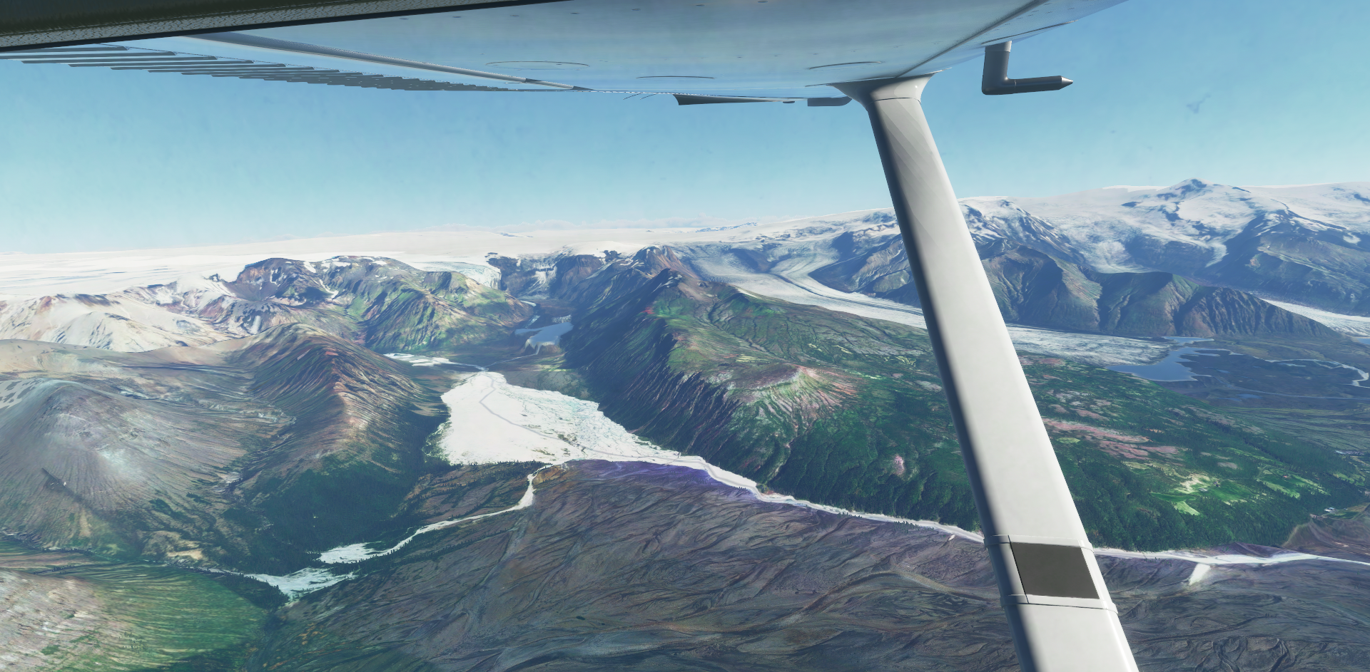
Entering Vatnajökull National Park, a 14,000 sq km glacier:


I’ve climbed up to 6,500 as the floor of the most parts Vatnajökull National Park are around 5,000 ft. Looks cold down there :cold_face::

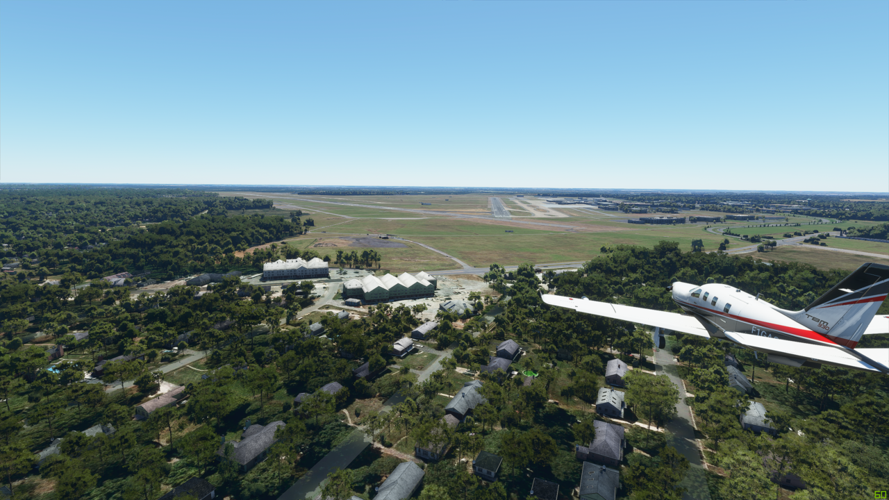
After this impressive tour of one large piece of ice, I plugged in Skaftafell (BISL) into the box. It’s yet another epic looking place. Good place for lunch, fuel stop and launching pad for the bigger hop.


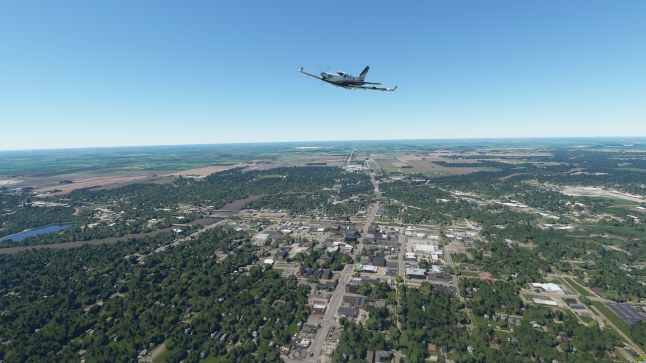
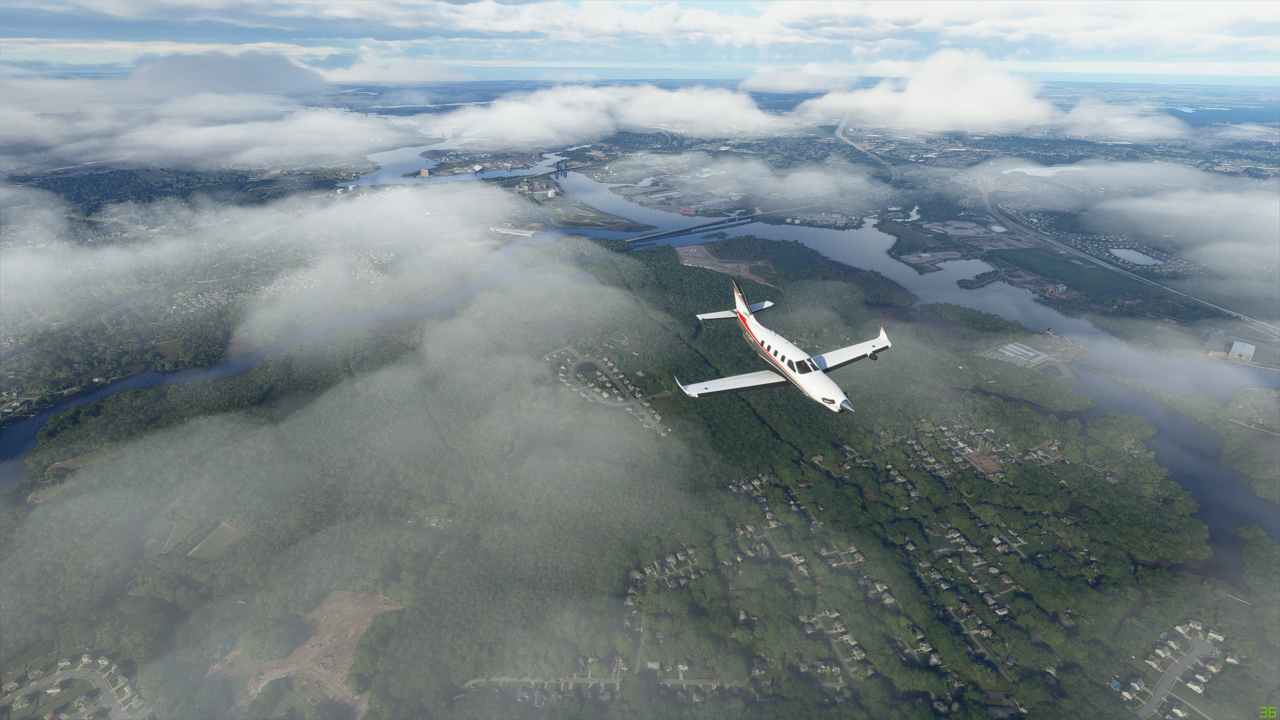
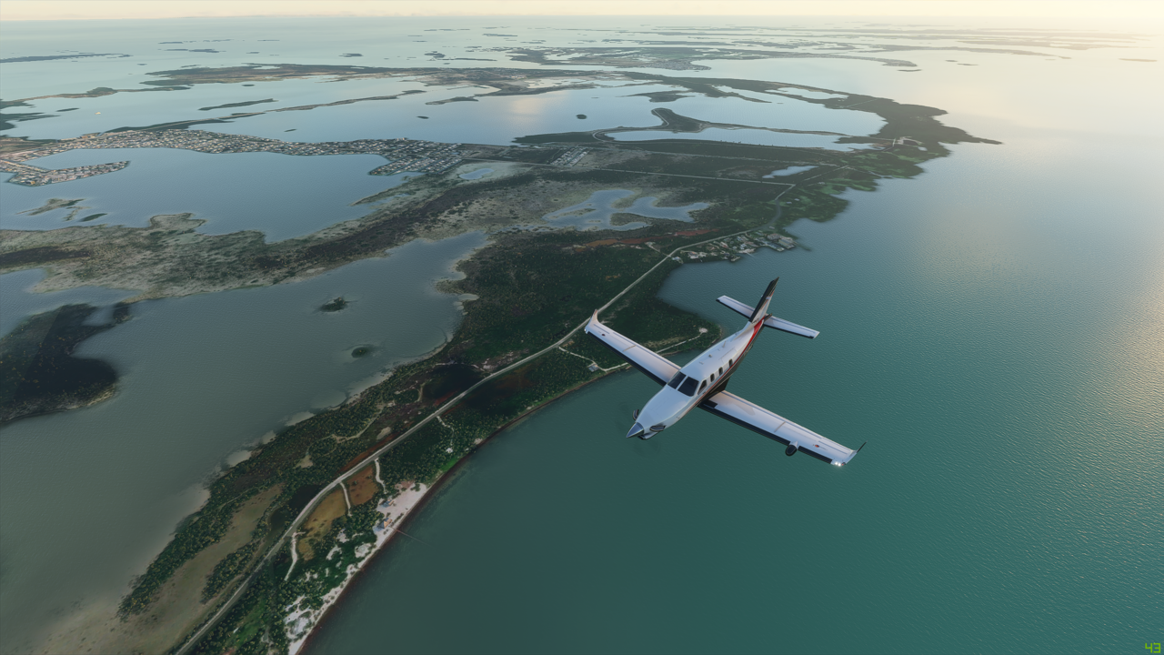
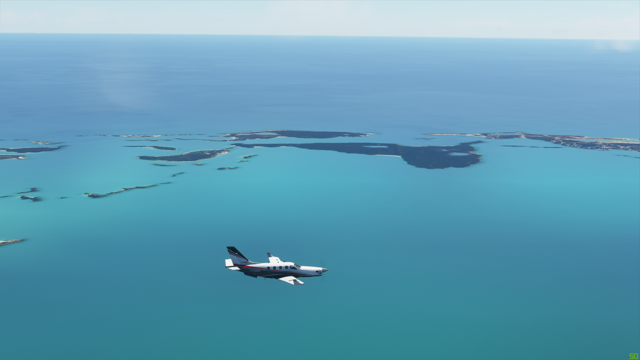
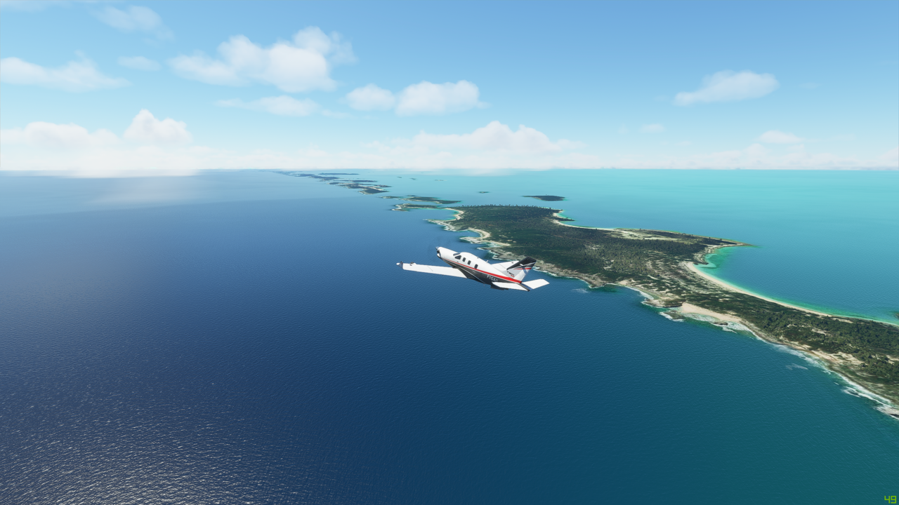
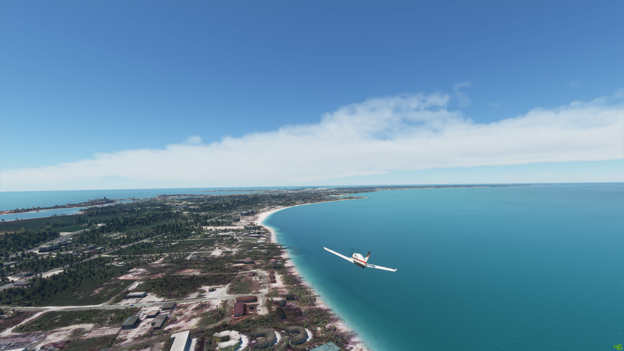
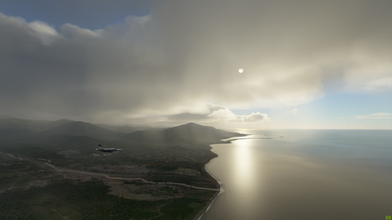
The coast of south Iceland now in view. This part of the country is popular for it’s scenery (of course) but more so, consistently favorable weather during this time of year - perfect for hikers, and outdoor enthusiasts:


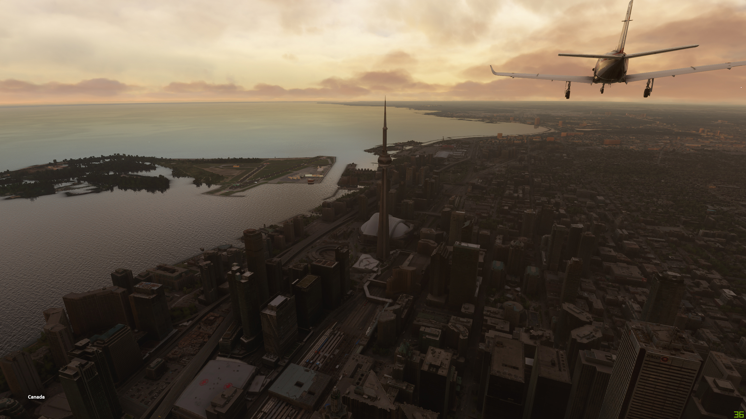
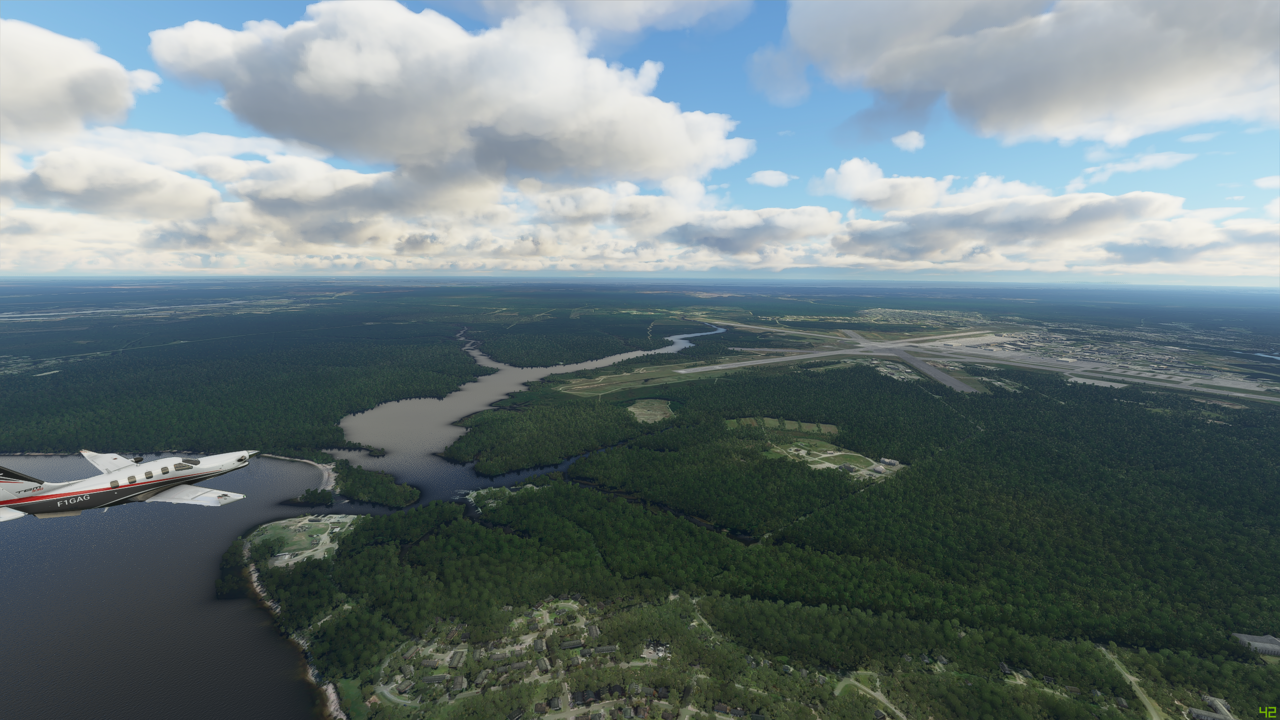
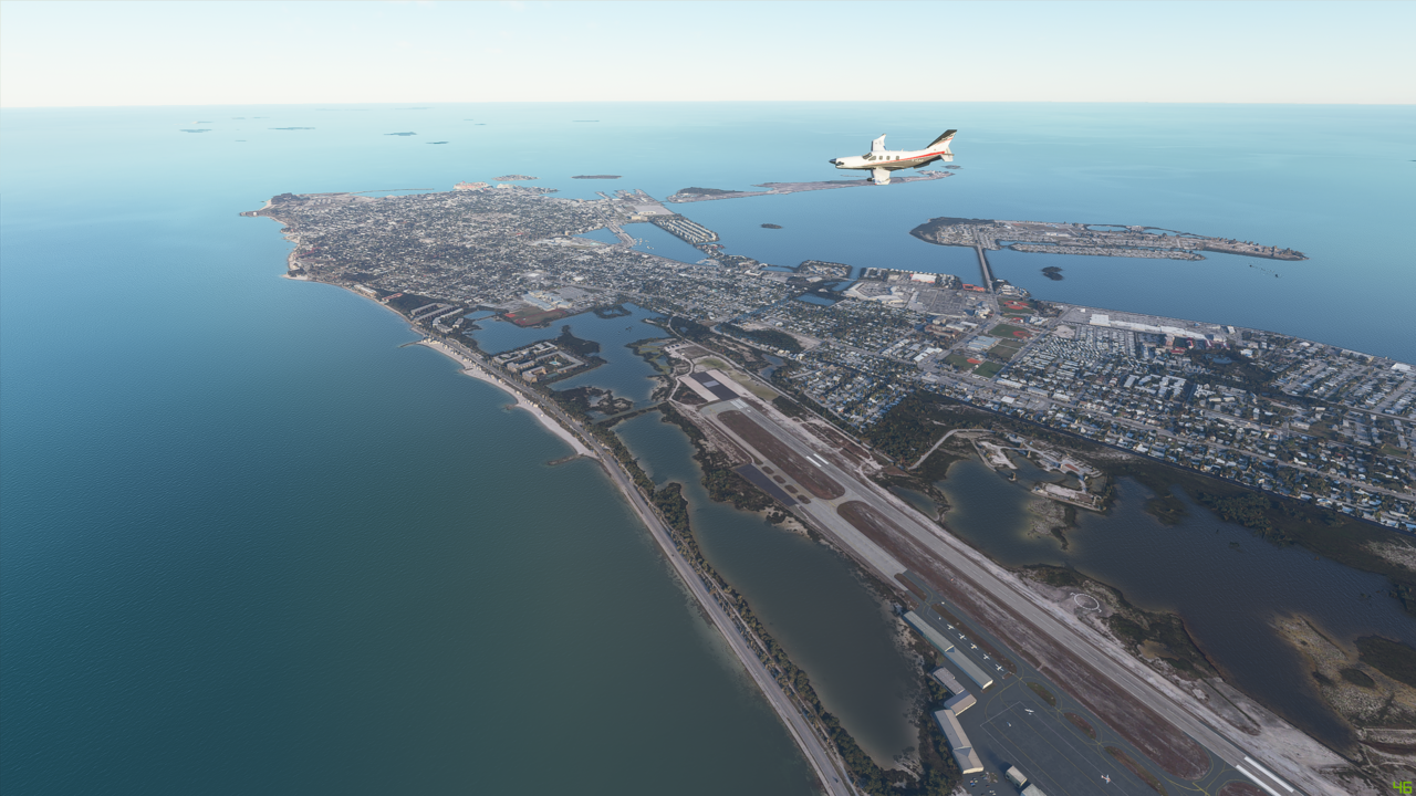
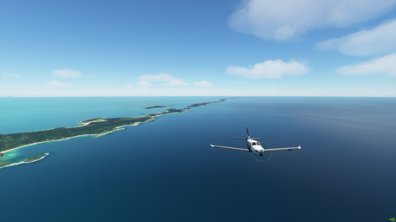
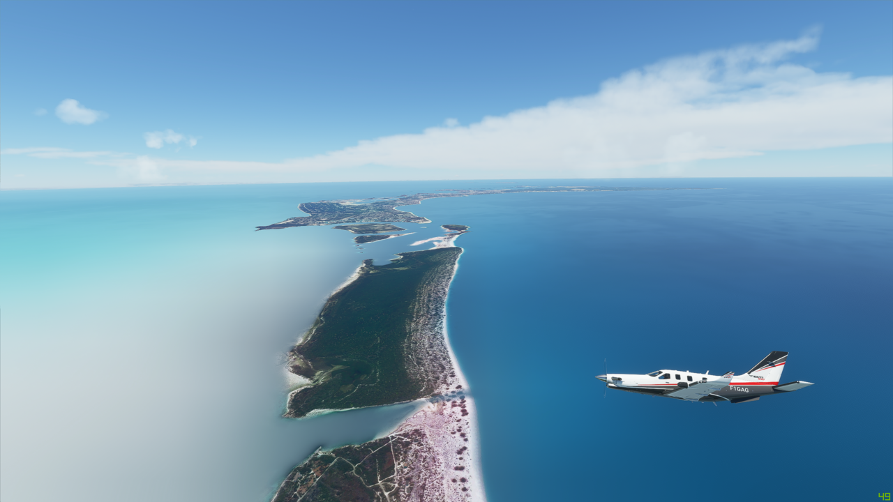
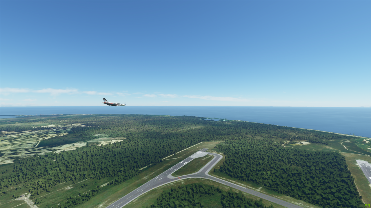
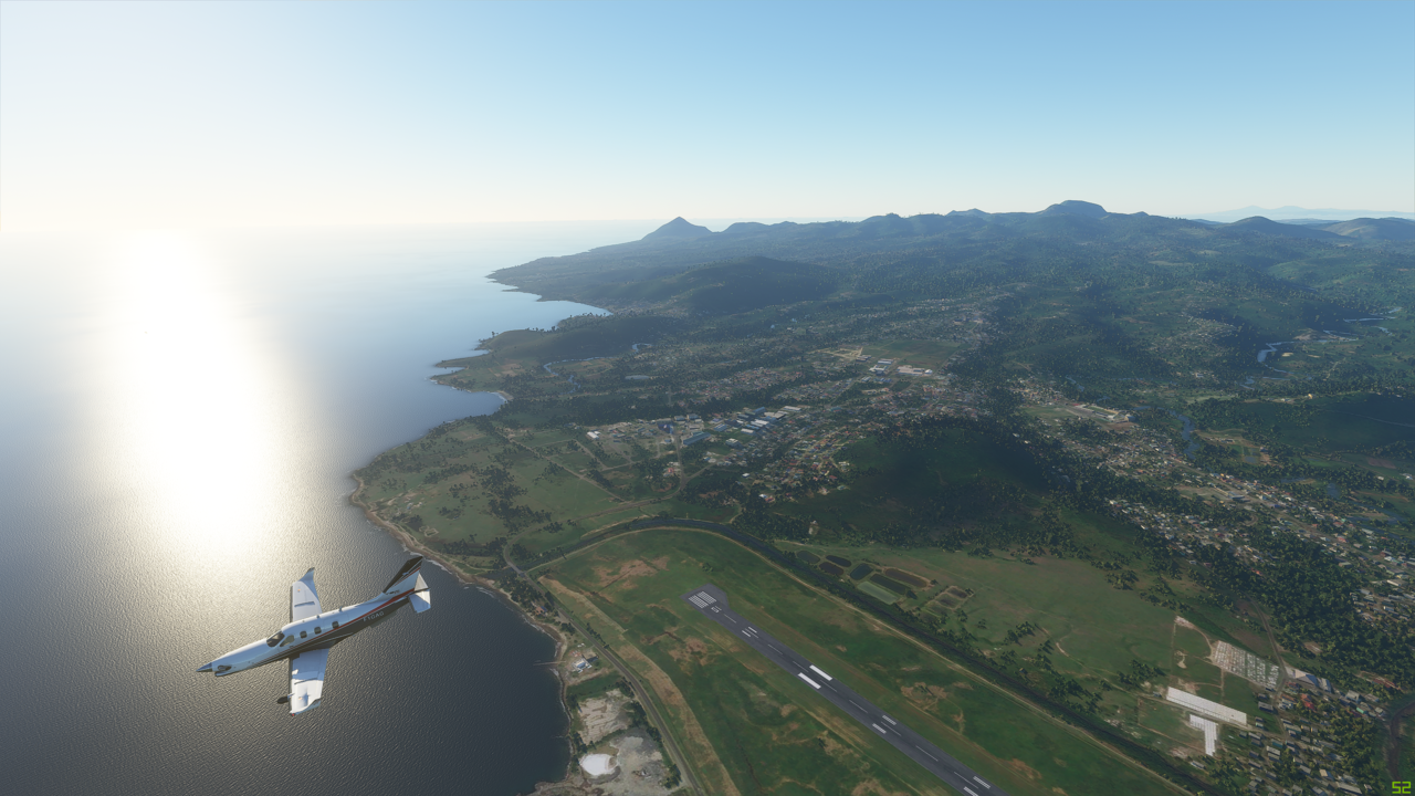
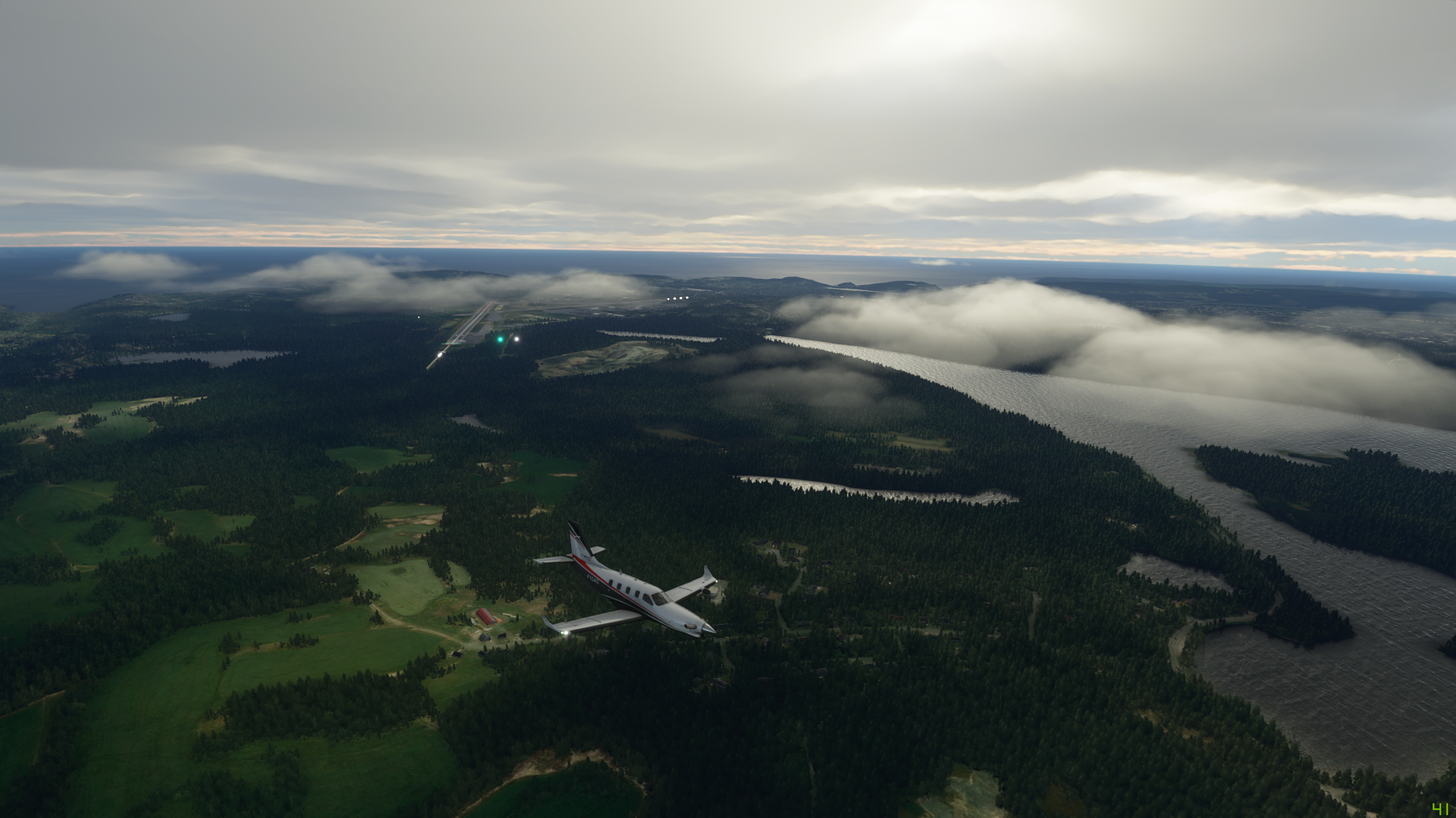
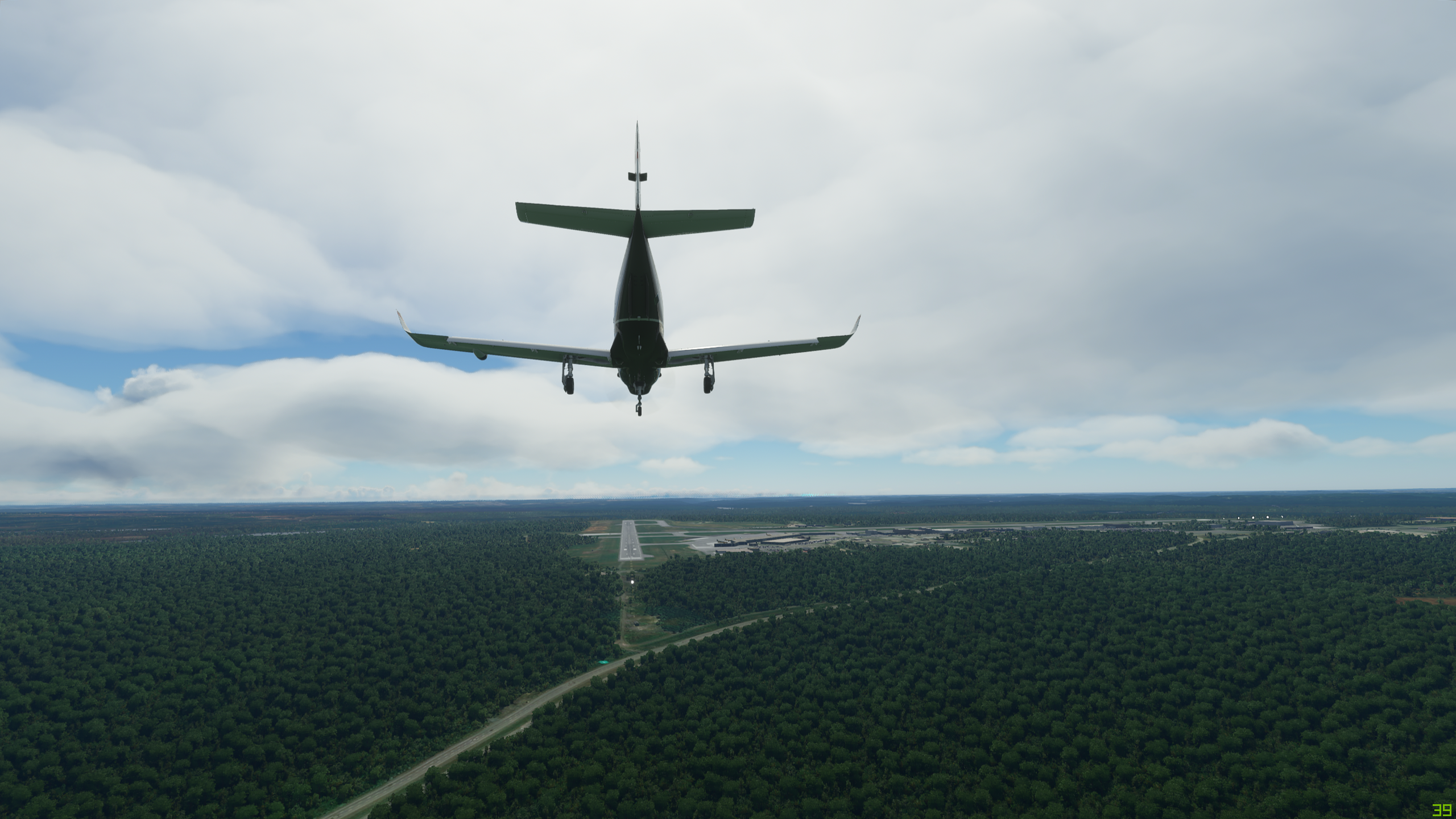
Skaftafell, coming into view:


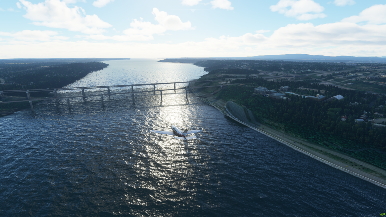
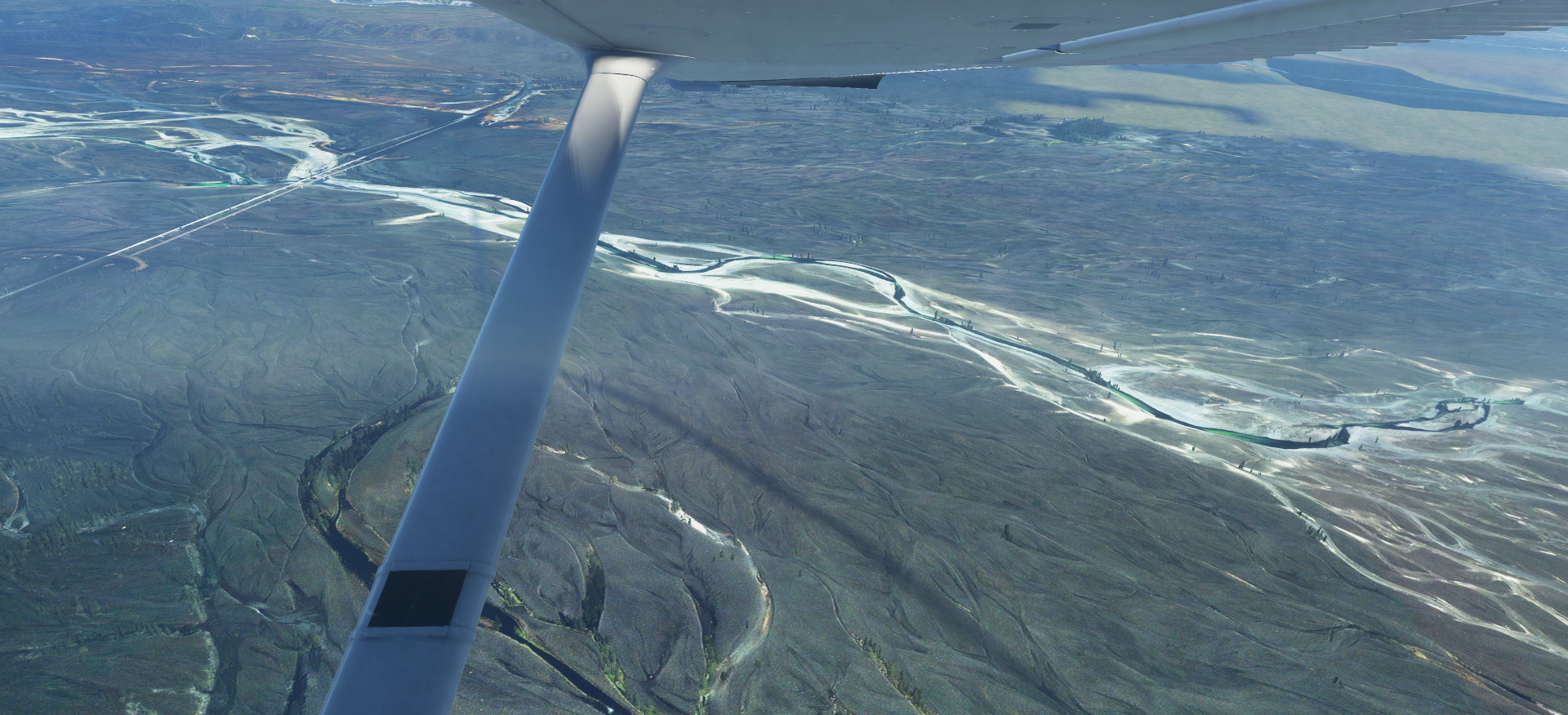
Descending, and looking for the airport, nose north crisscrossing Iceland’s Route 1 (Golden Circle) highway, which should lead near the field. More of note is the 900 meter bridge over Skeiðarársandur, the name for this vast expanse of wasteland sands from glacier run-off extending many, many miles south:


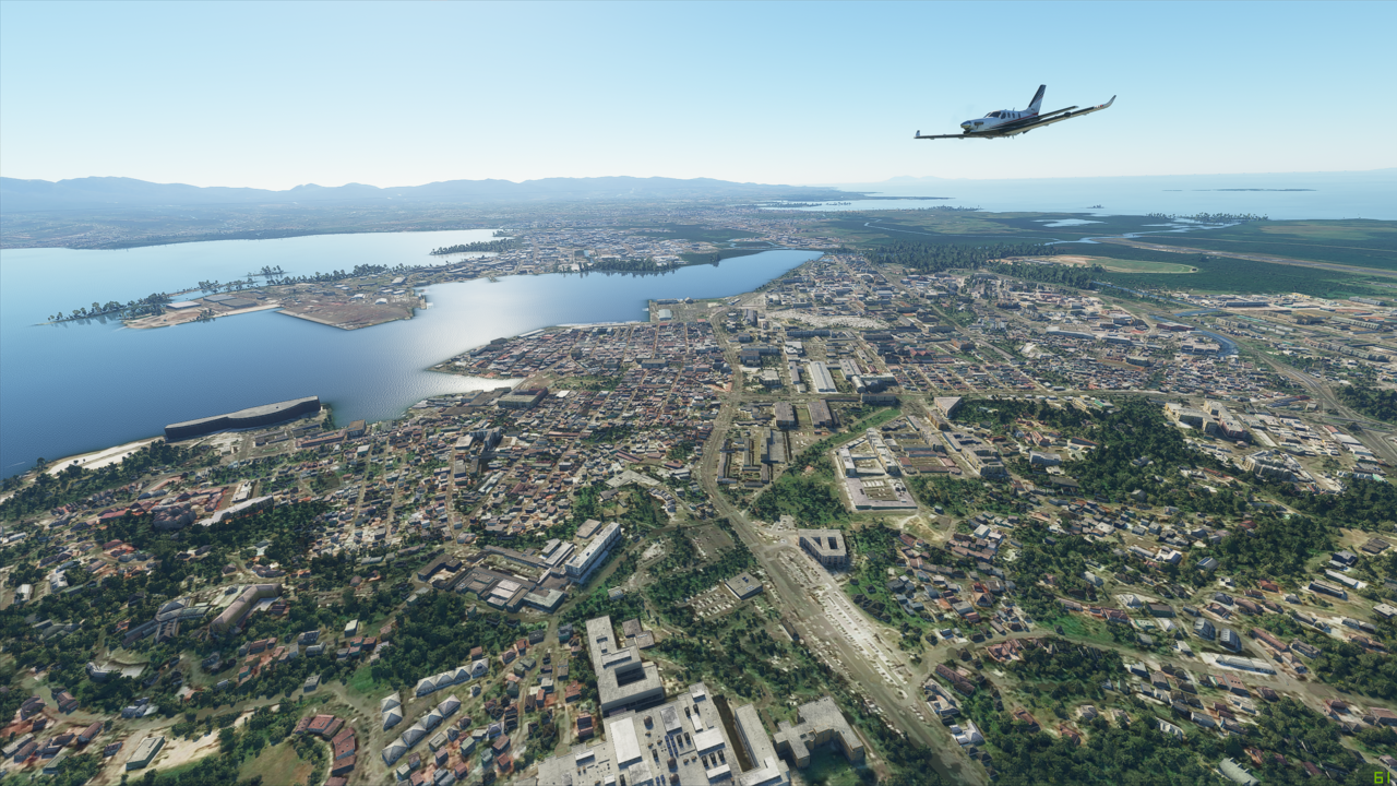
Another find that airport. Like in a real world scenario, I reference the sectional charts, but having Bing Maps [Microsoft are you listening? :smile:] is the best way to complete the picture of what I’m looking for. Find it once, found it forever.
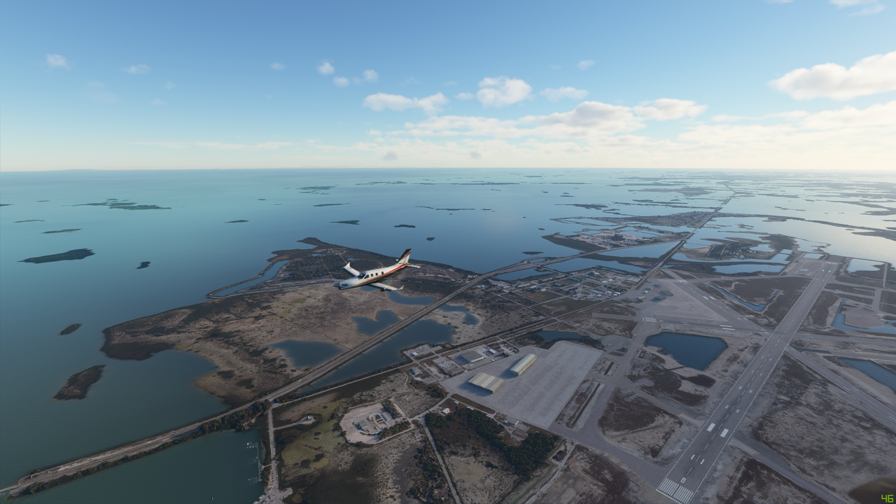
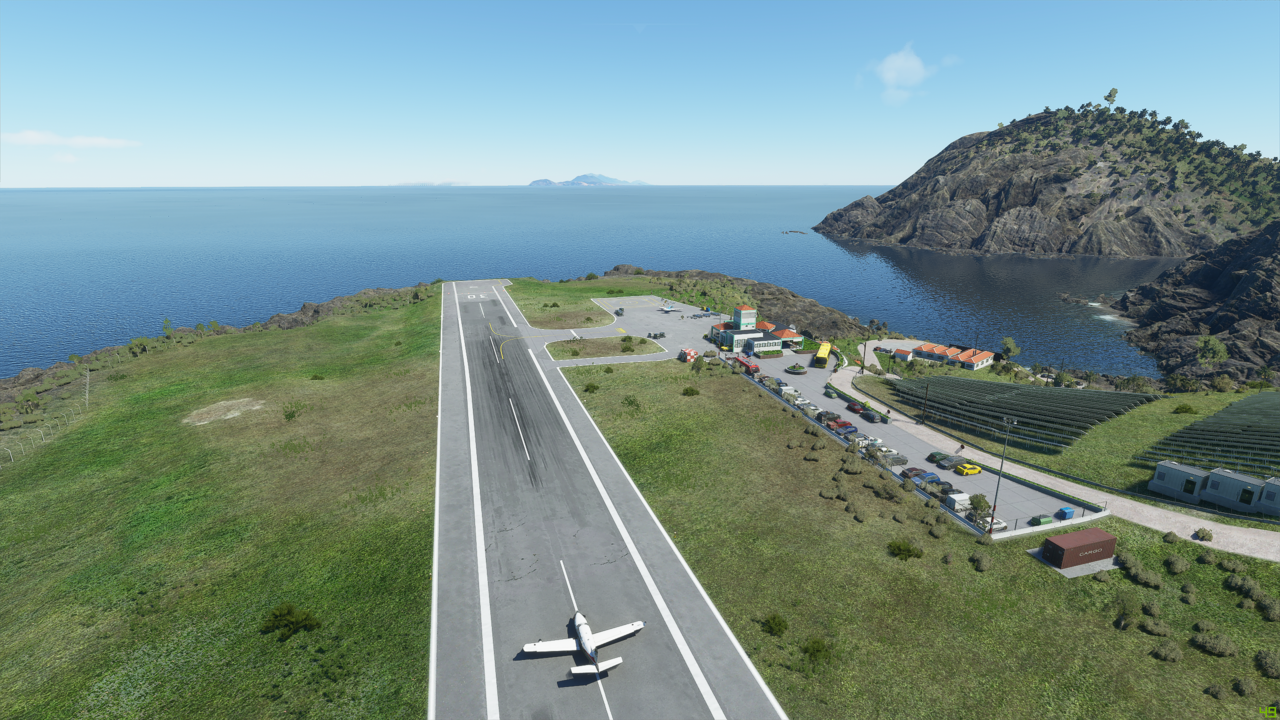
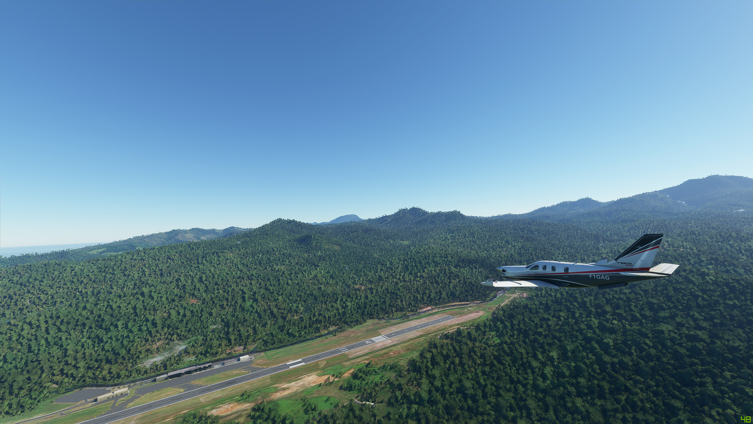
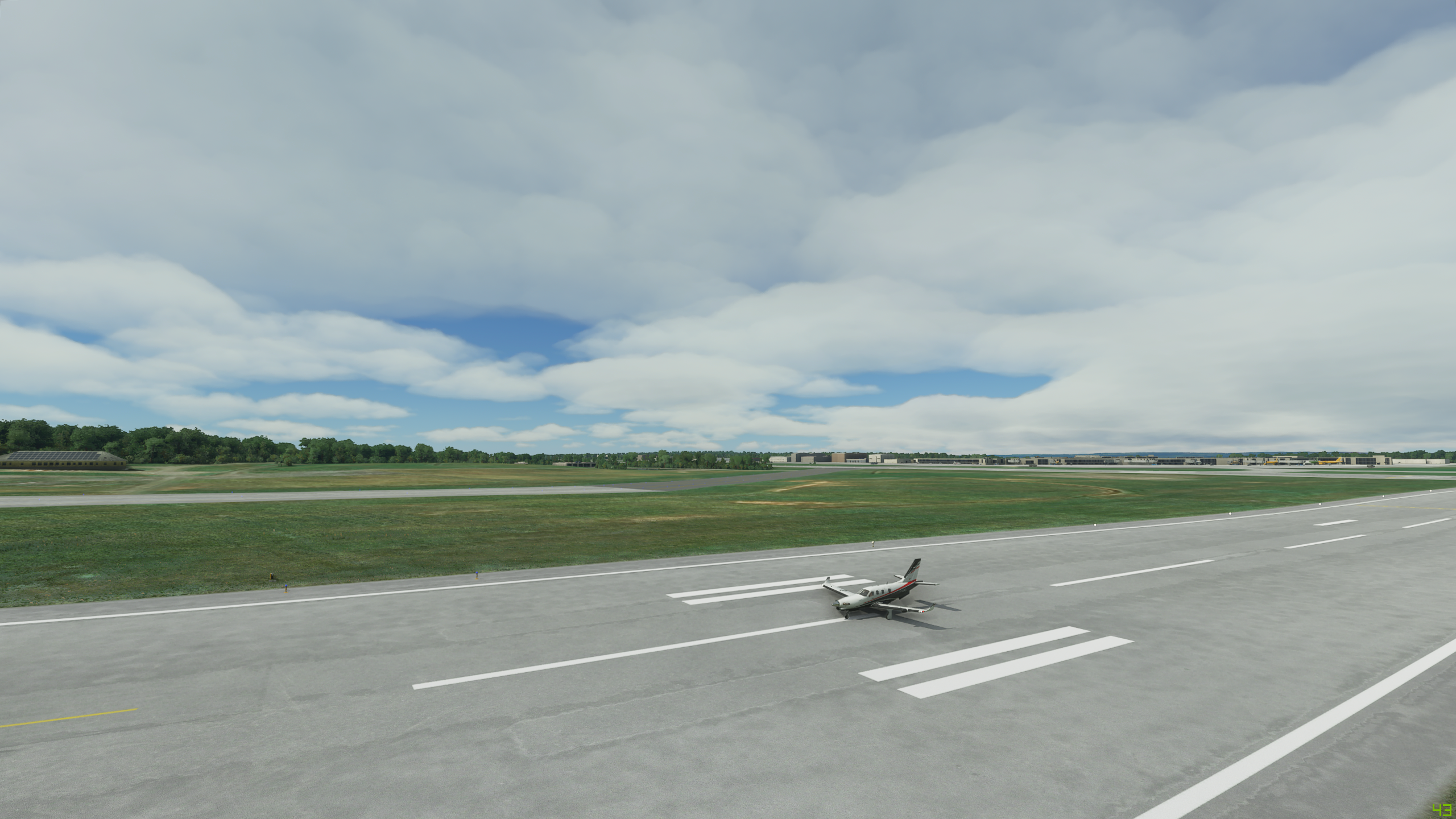
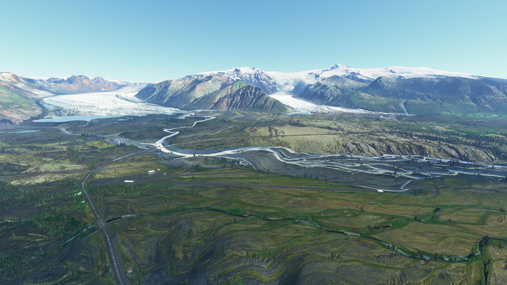
Skaftafell (BISL):


On the ground in BISL - I grab the nearest picnic table nearby and get to work planning out my leg to the famed Faroe Islands (Denmark) at Vagar field (EKVG). I soon found out that the in-game environment doesn’t have this crucial airport?! :face_with_symbols_over_mouth: The British tactically occupied the Faroe Islands during WWII, built an airport to fight Nazi Germany, but it wasn’t worthy of finding a beloved spot in the game’s development timeline? :roll_eyes:

Also, flying a C172 basic real time, a break every couple hours would be nice. I mean, on those 5 hour transcon flights in the airlines, we can use the bathroom whenever. 4.5 hours in a Cessna, well better bring that pilot shop thingamagig. Well, I am still curious what the none airport looks like.

I phoned the friendly folks at Reykjavik Control and they gave me my domestic, and oceanic clearance in one serving (since they control the airspace all the way).
I grabbed my lembas bread for the road, and off I went.
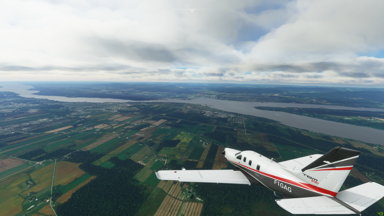
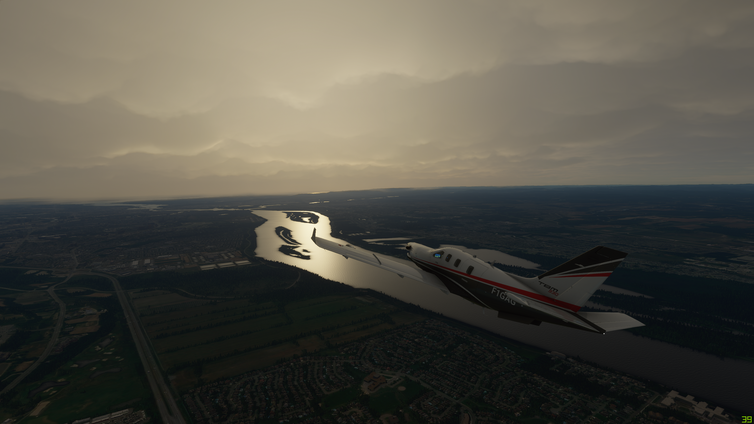
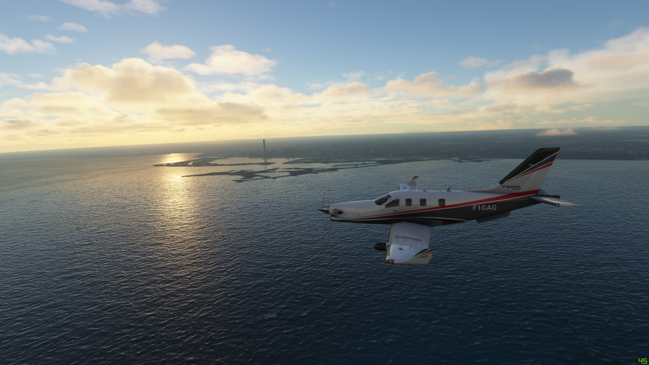
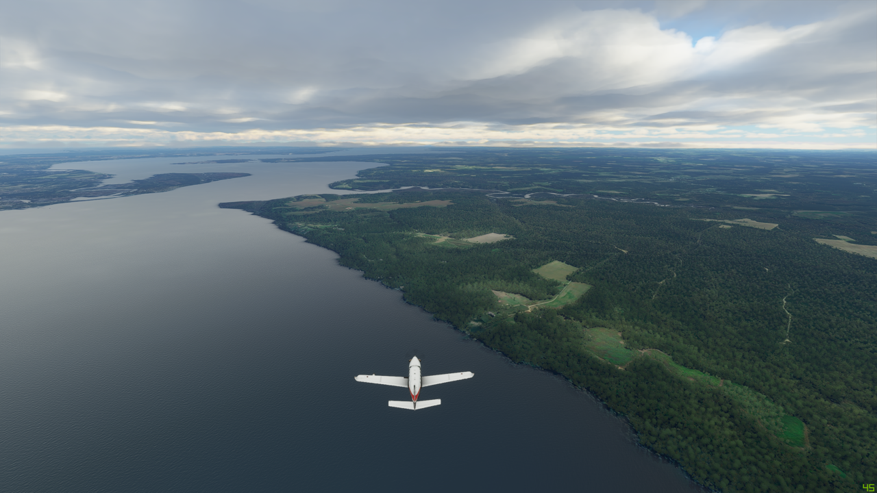
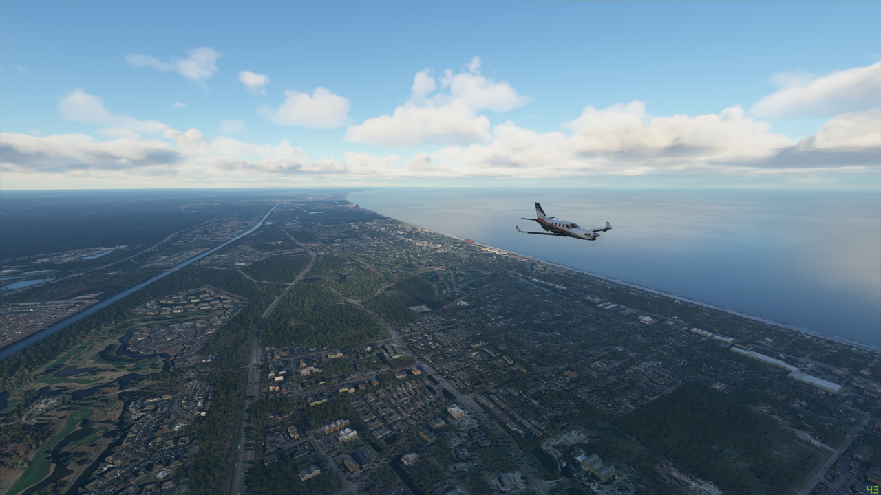
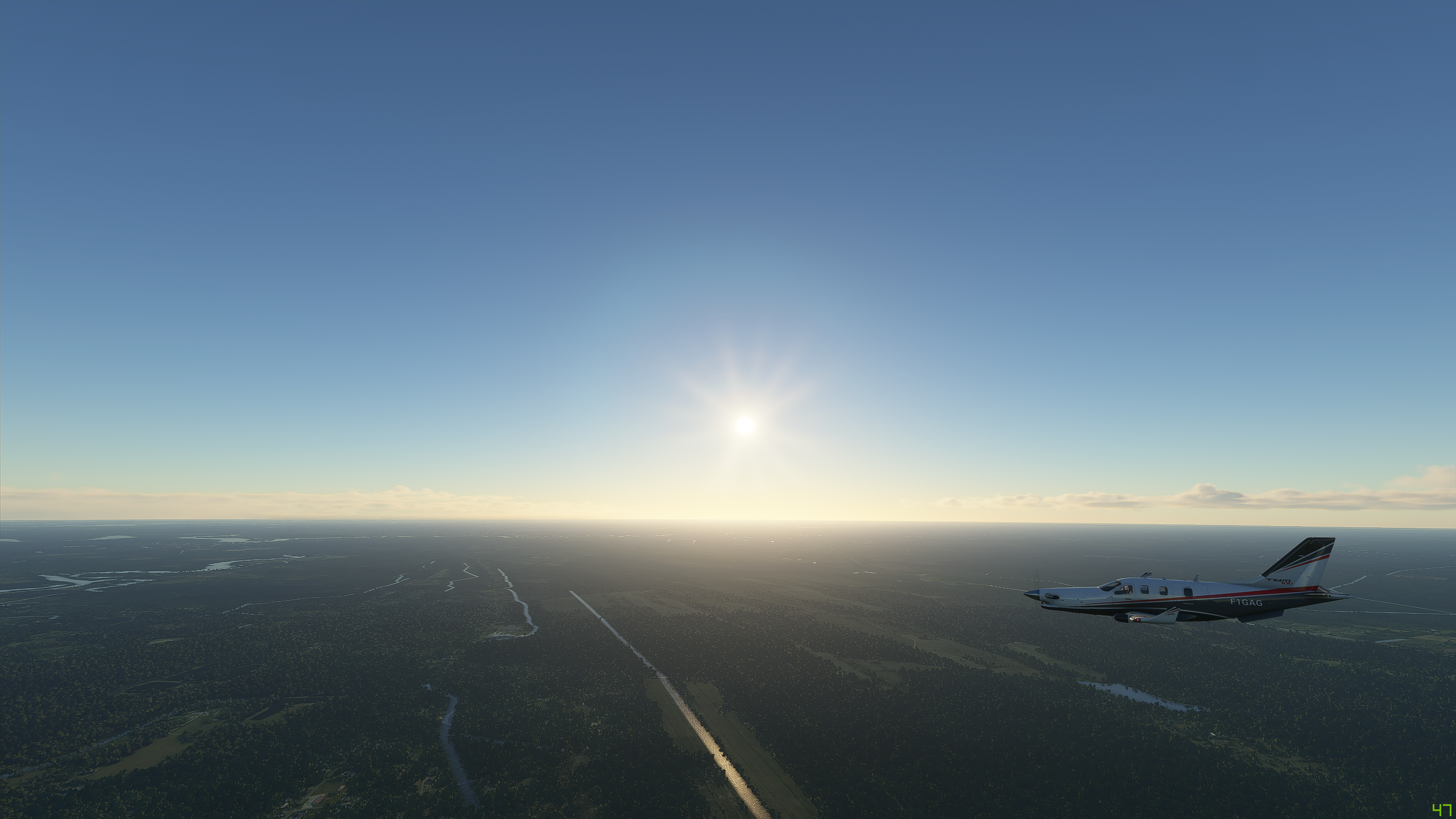
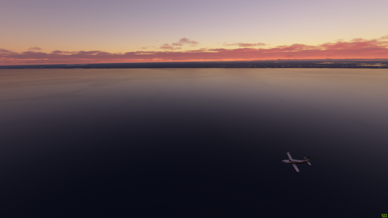
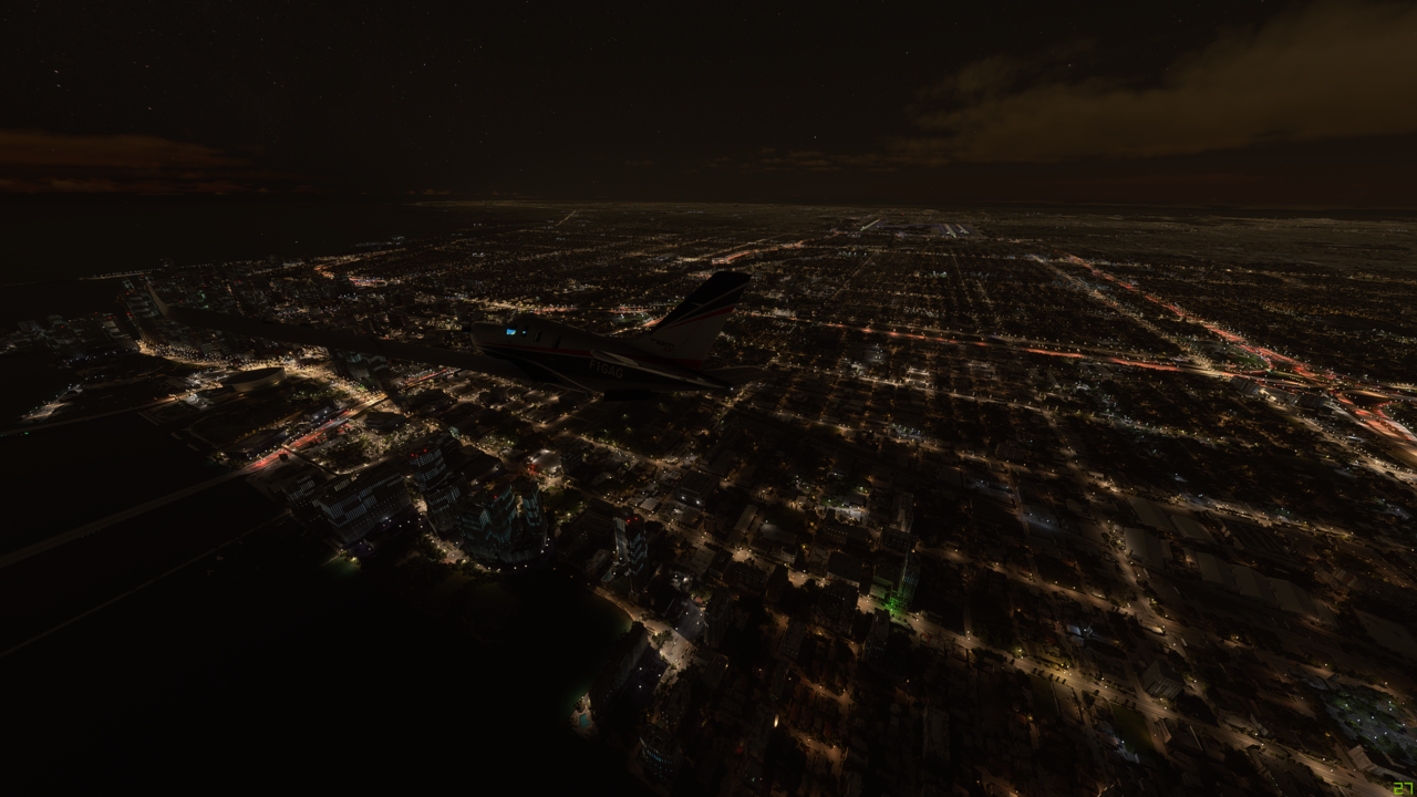
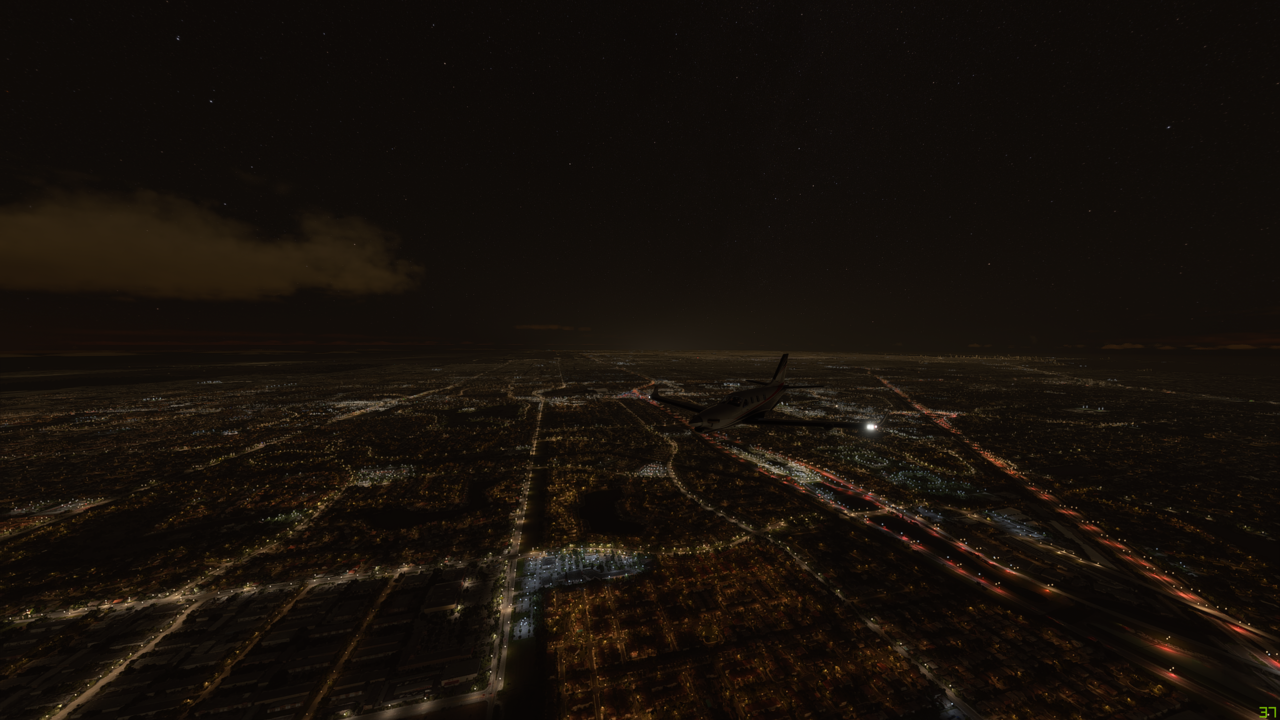
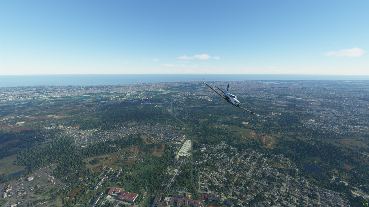
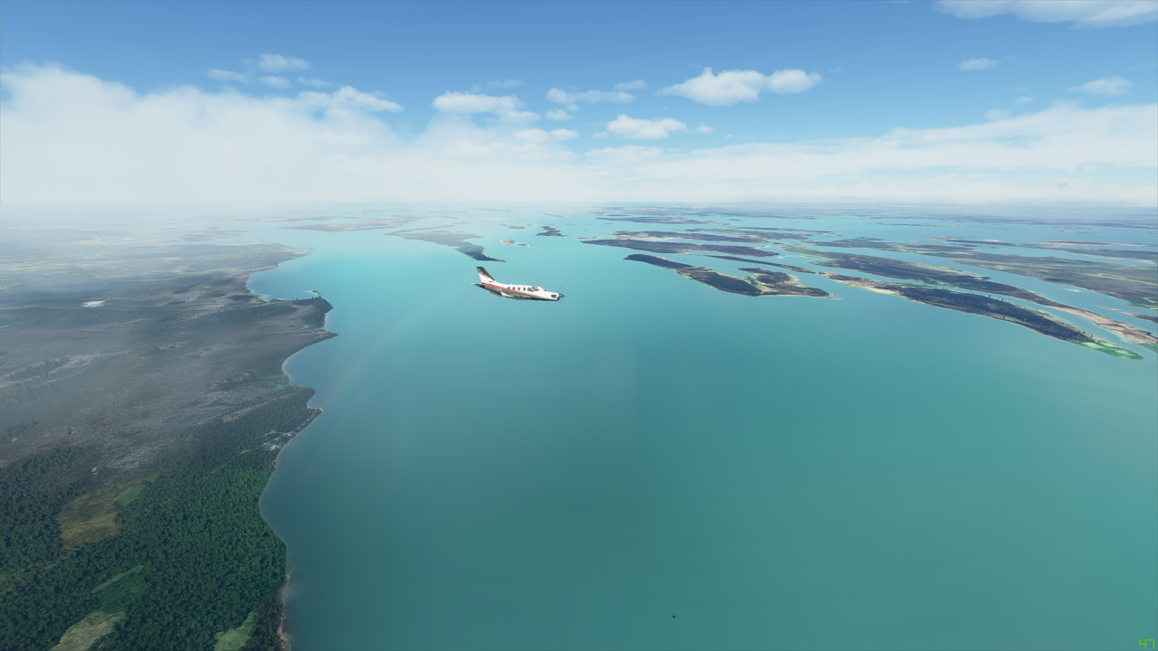
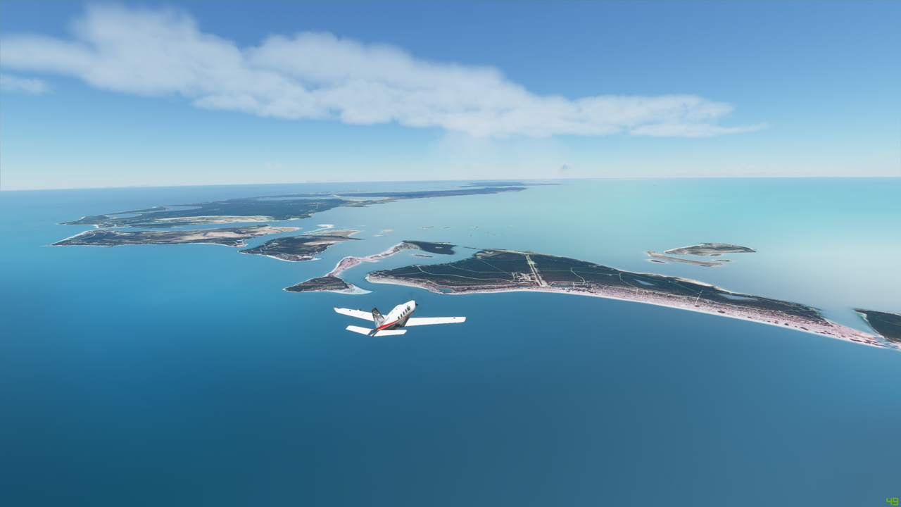
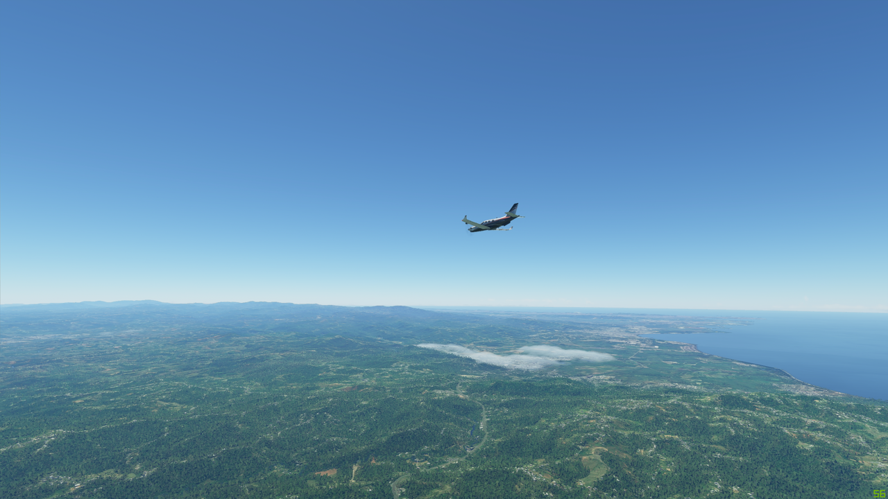
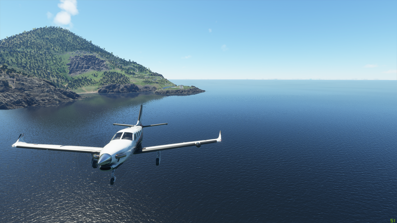
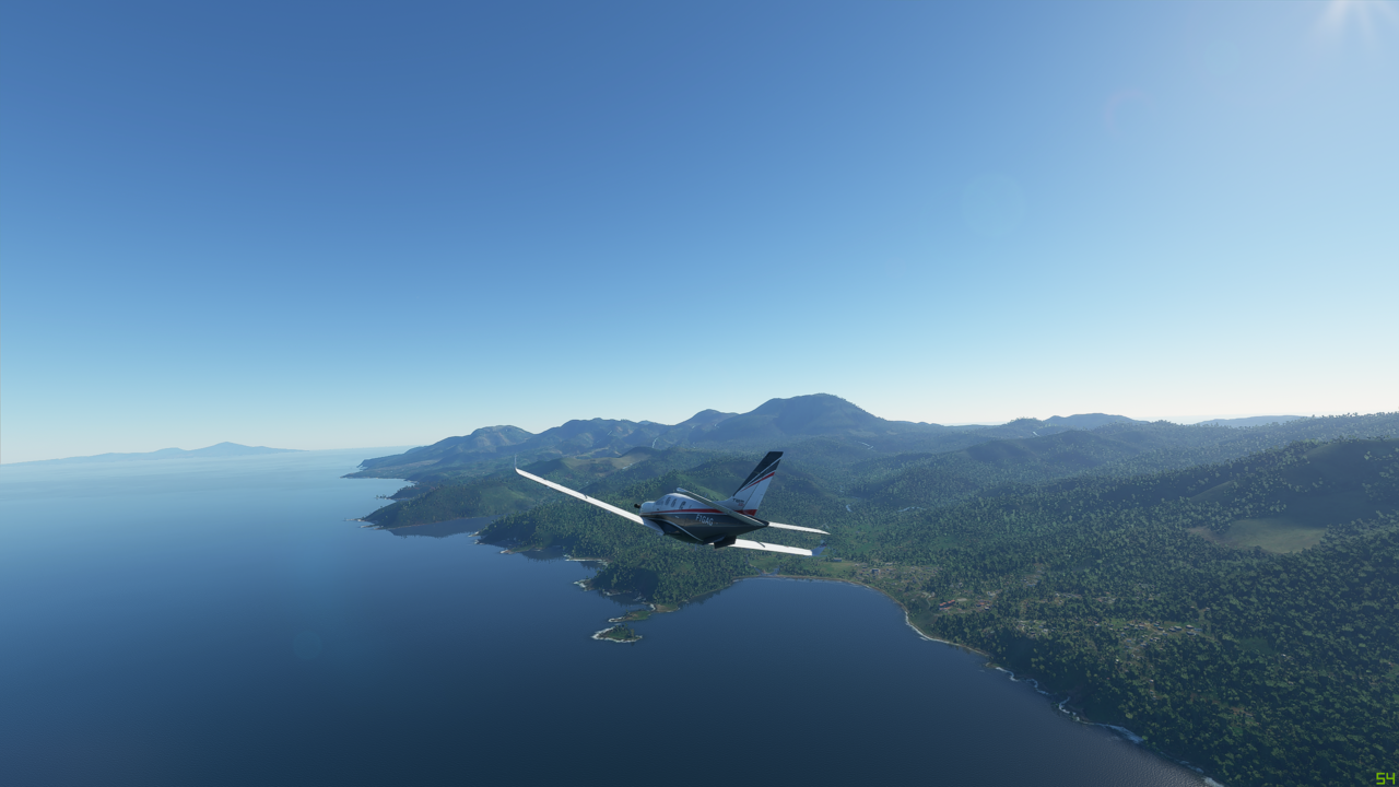
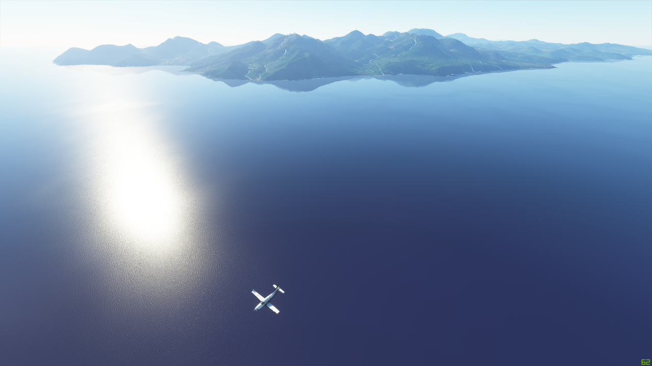
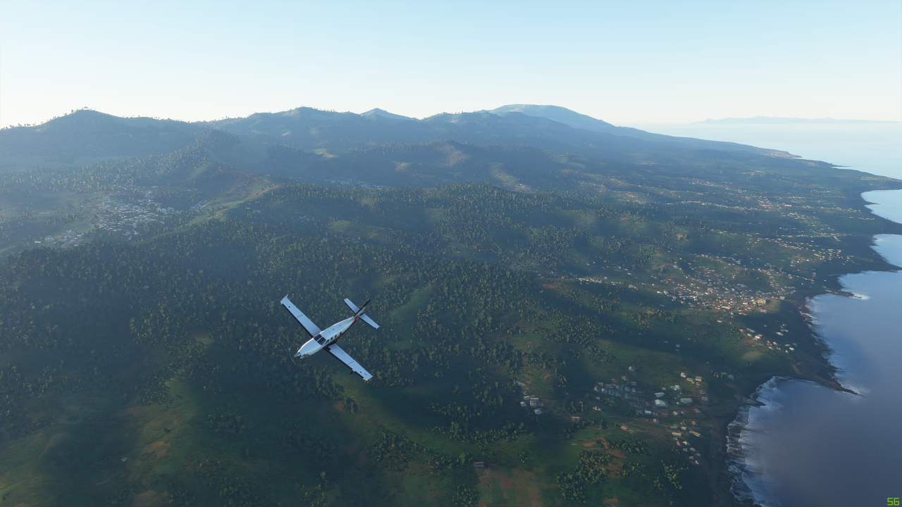
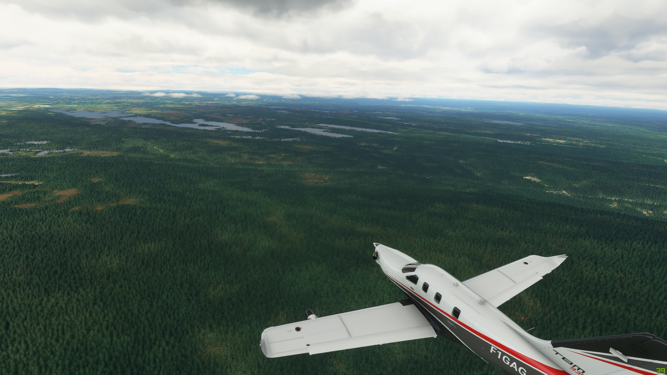
On my way again:


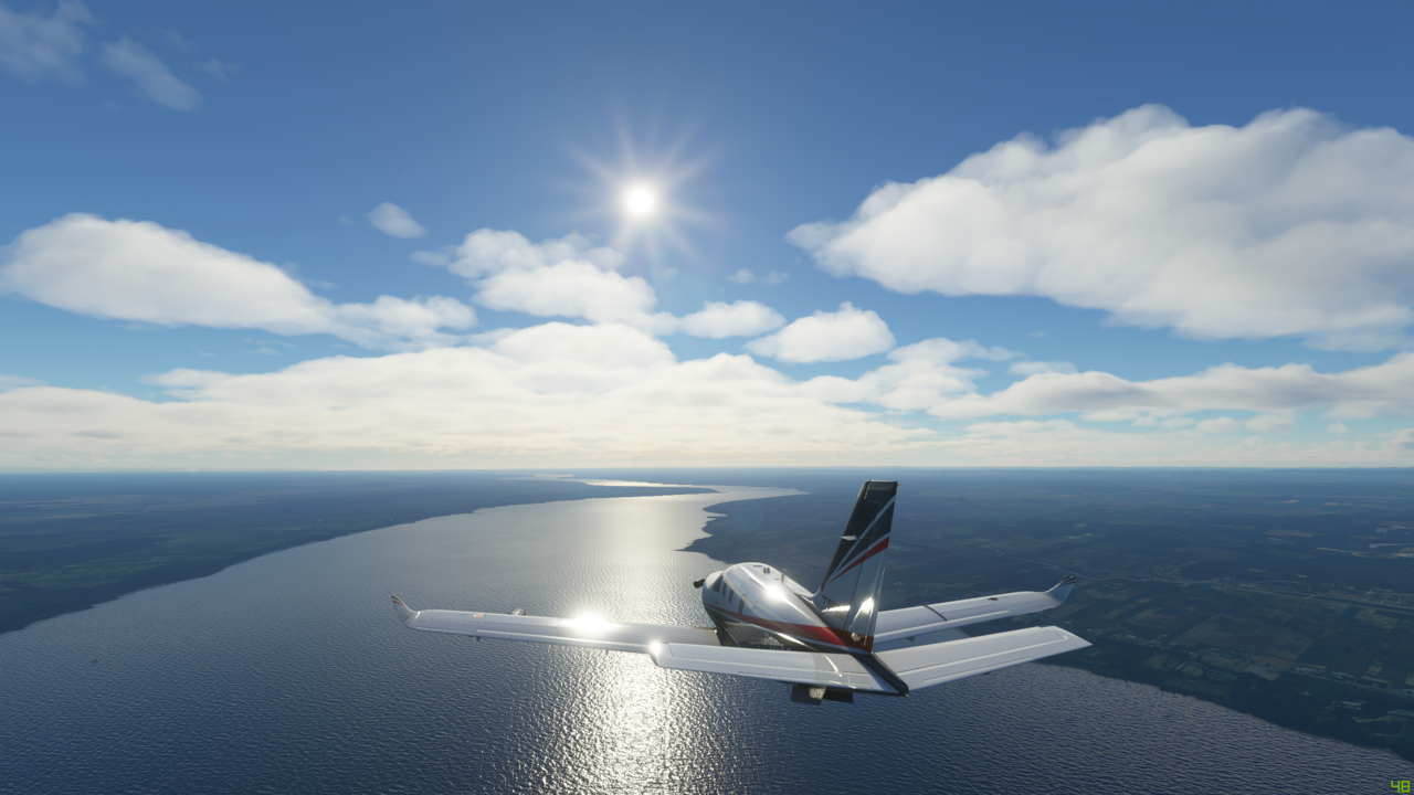
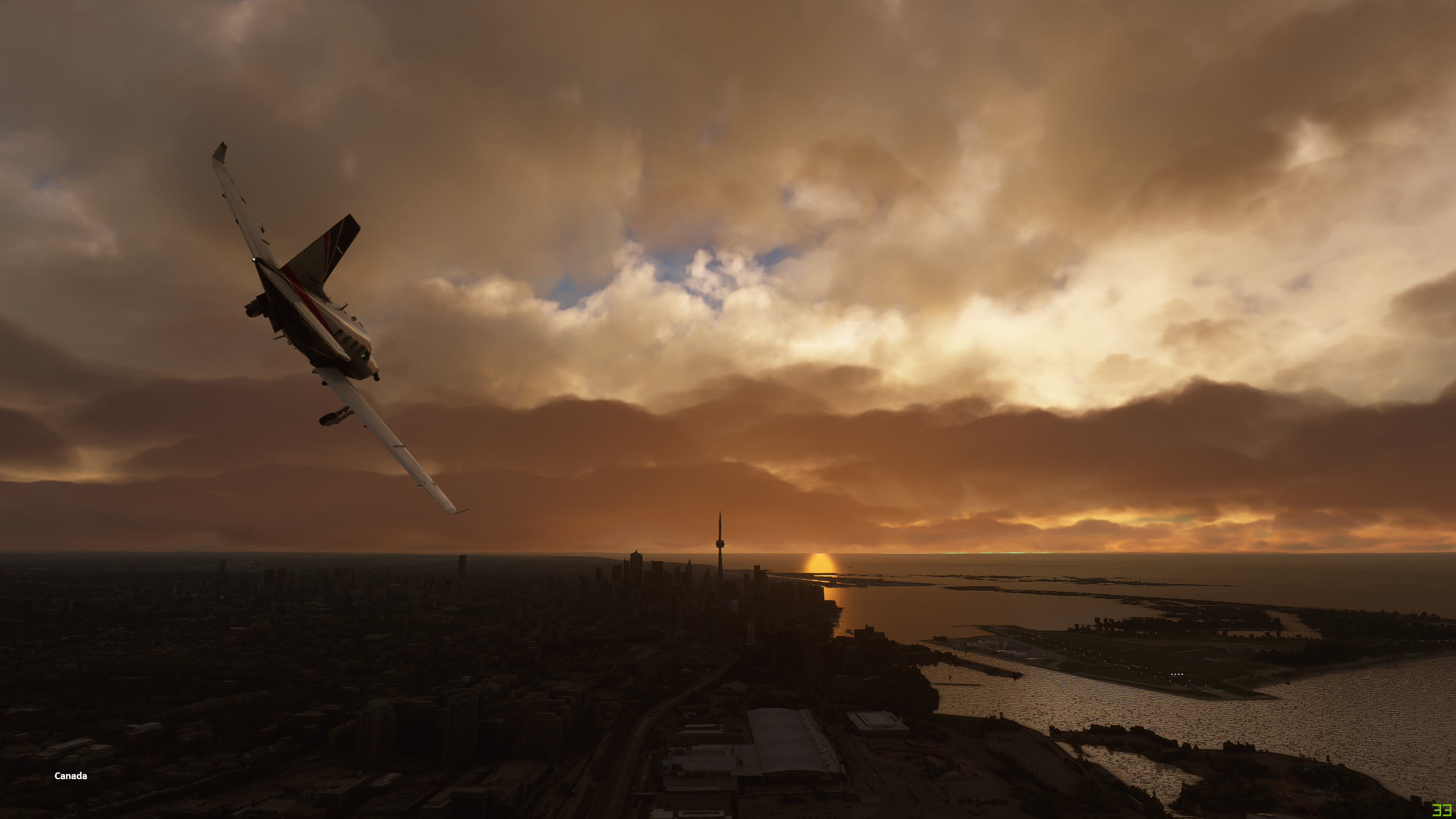
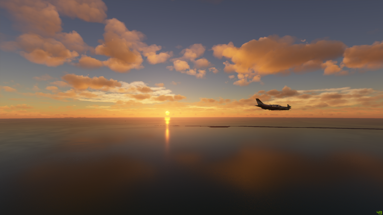
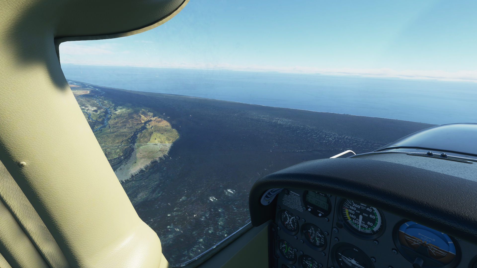
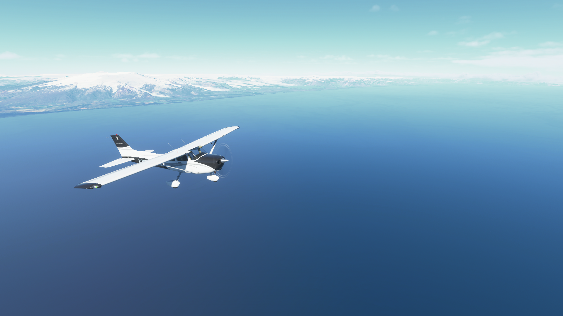
Leaving Iceland, the impressive Öræfajökull, an ice-covered volcano with a peak of 2,100 meters (6,900 ft) would keep steady watch as I move out over open waters:


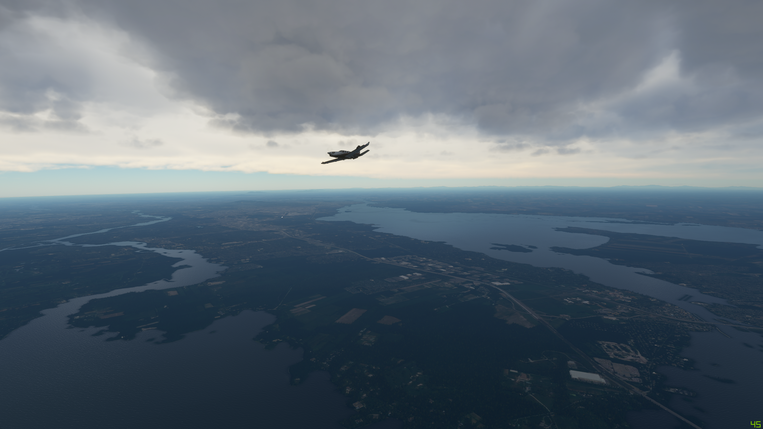
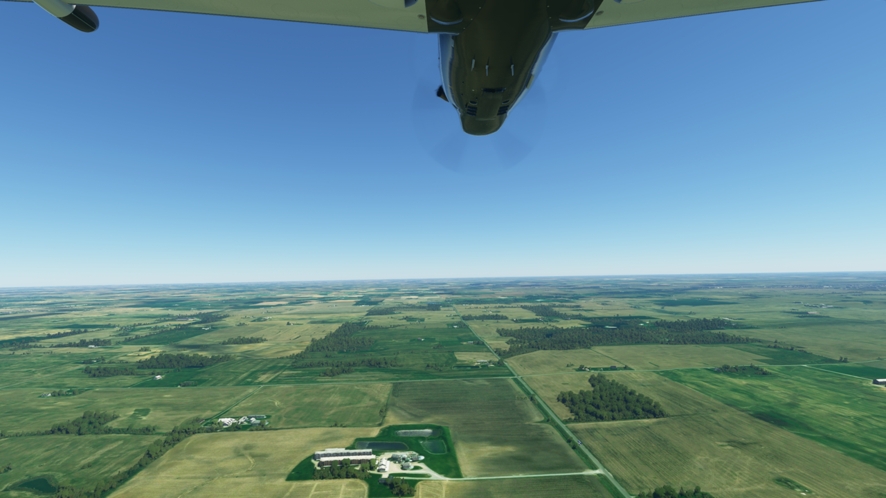
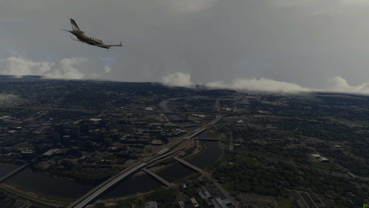
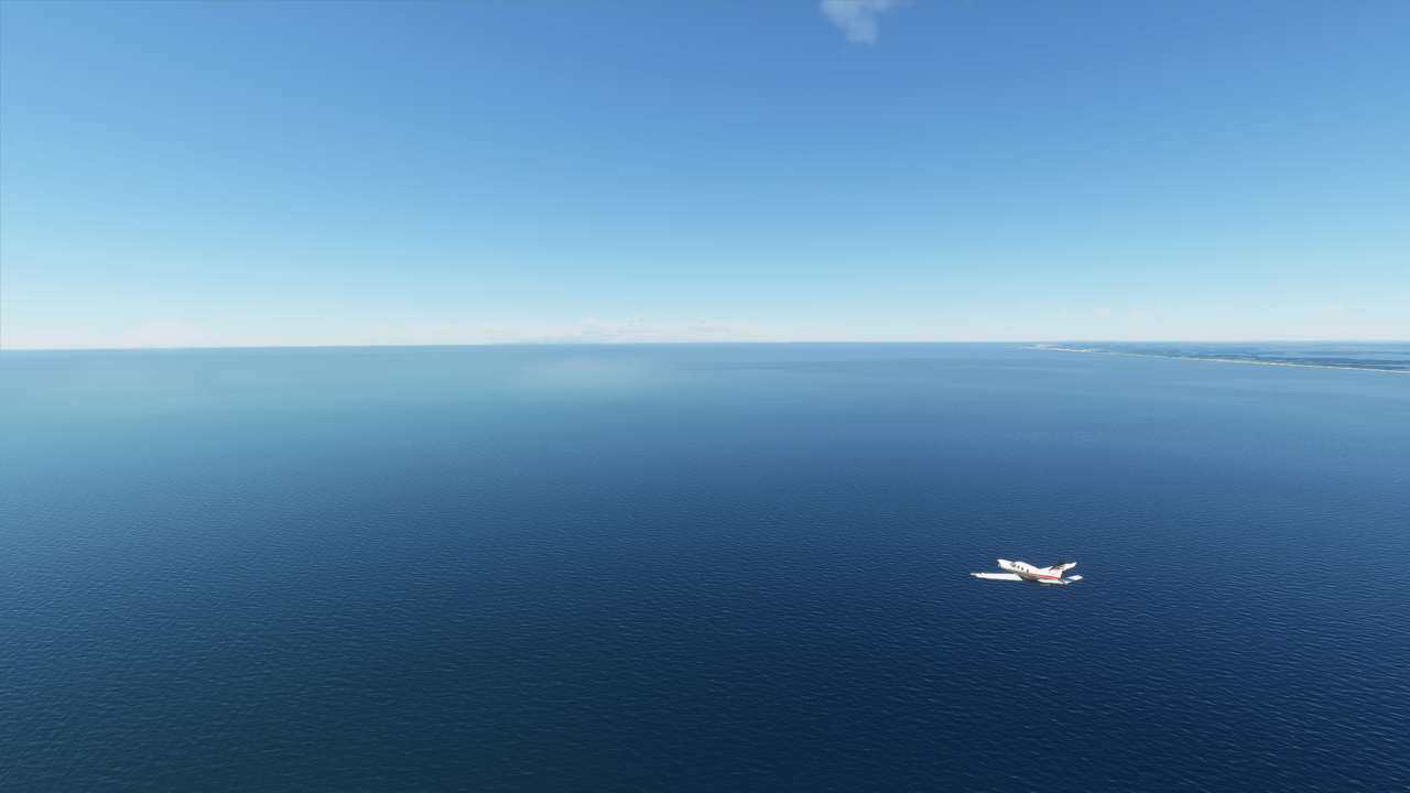
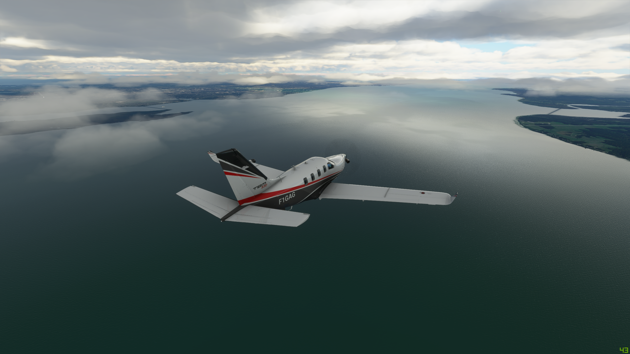
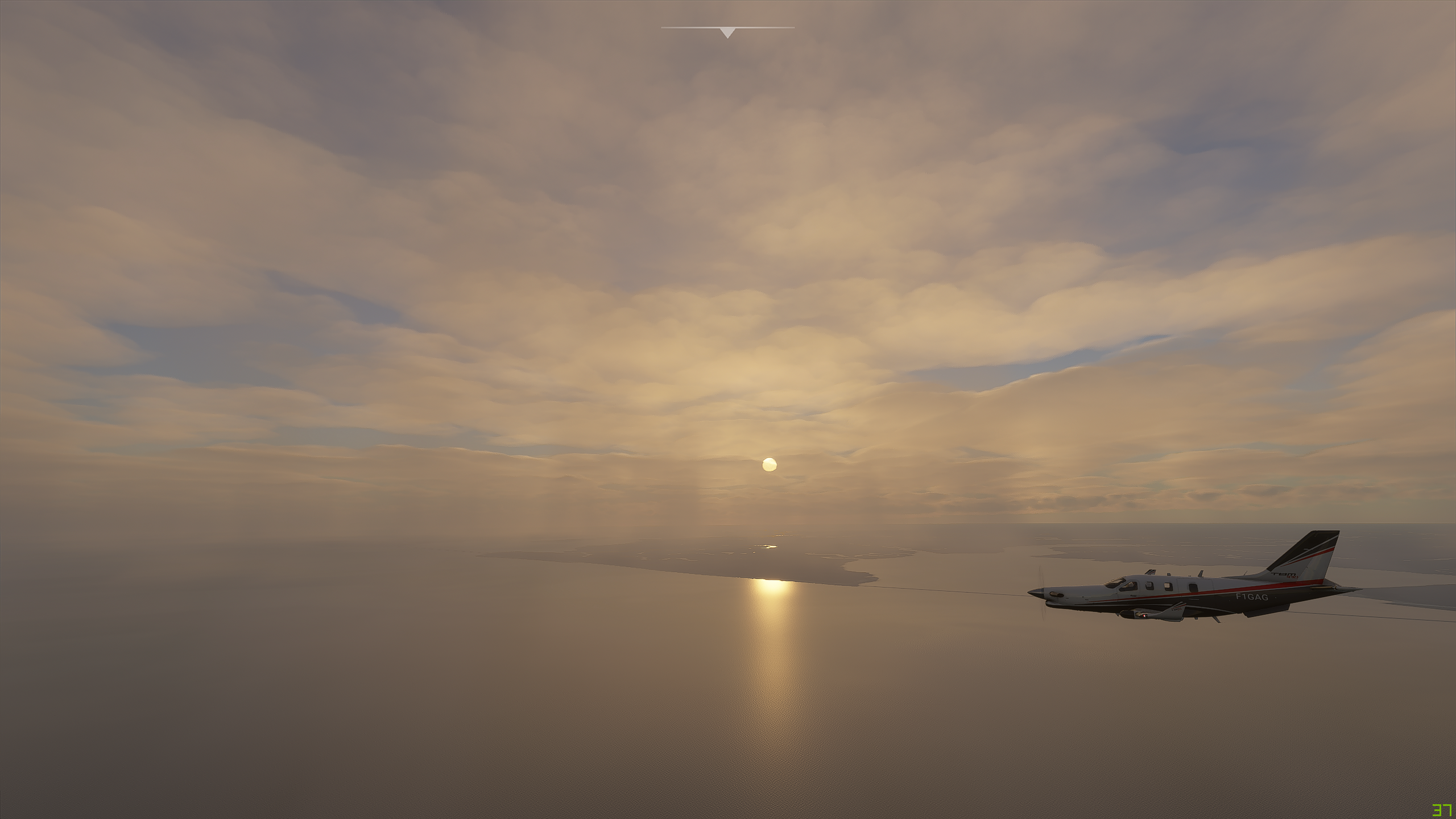
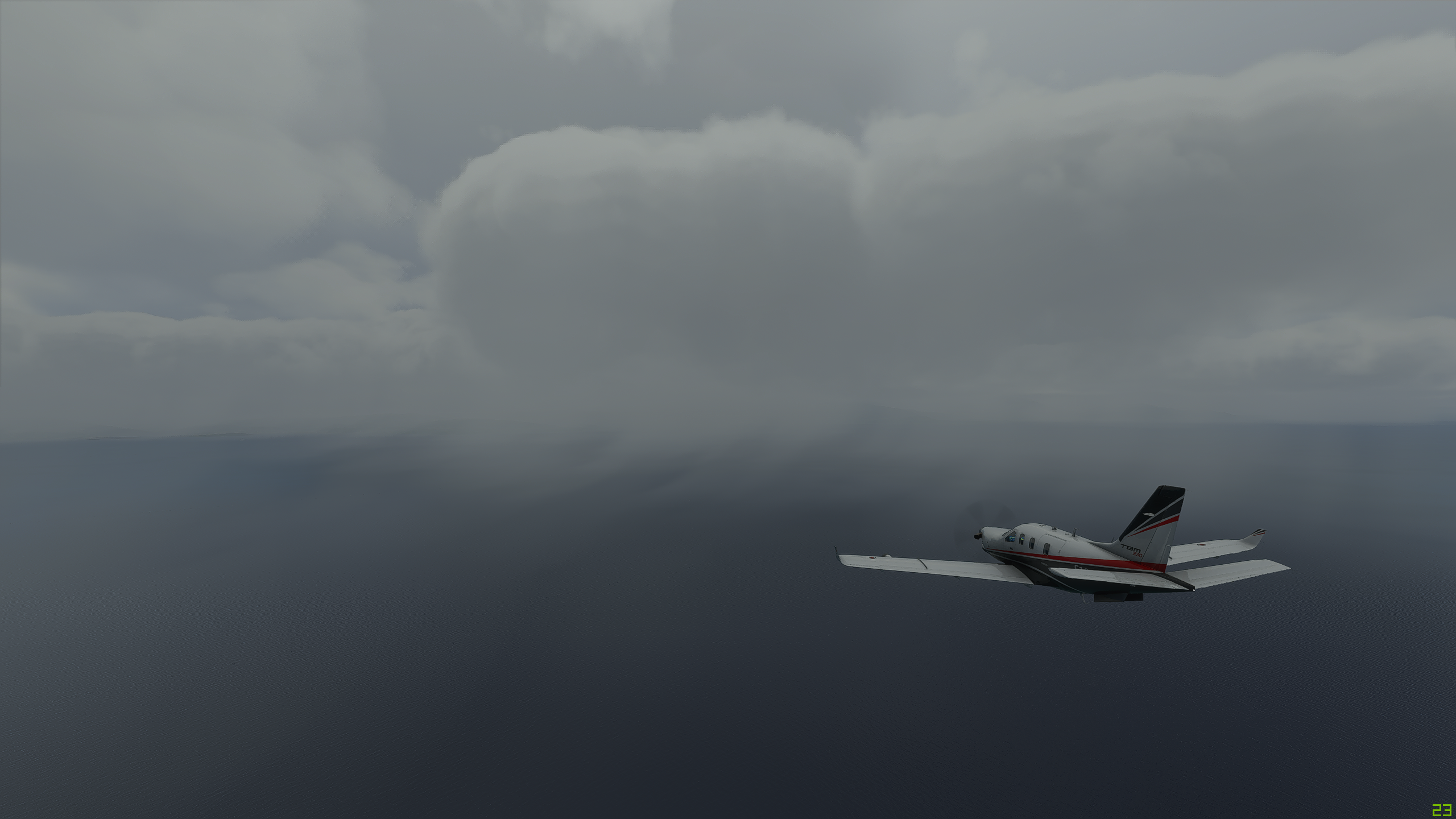
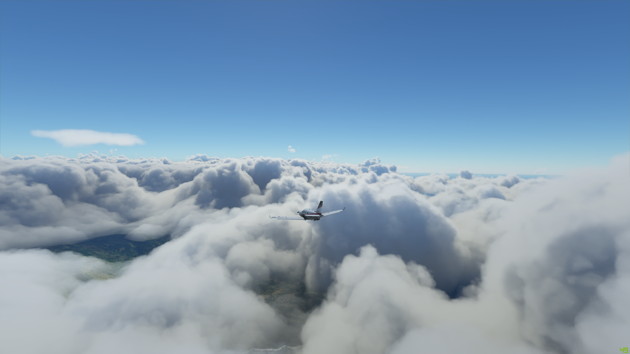
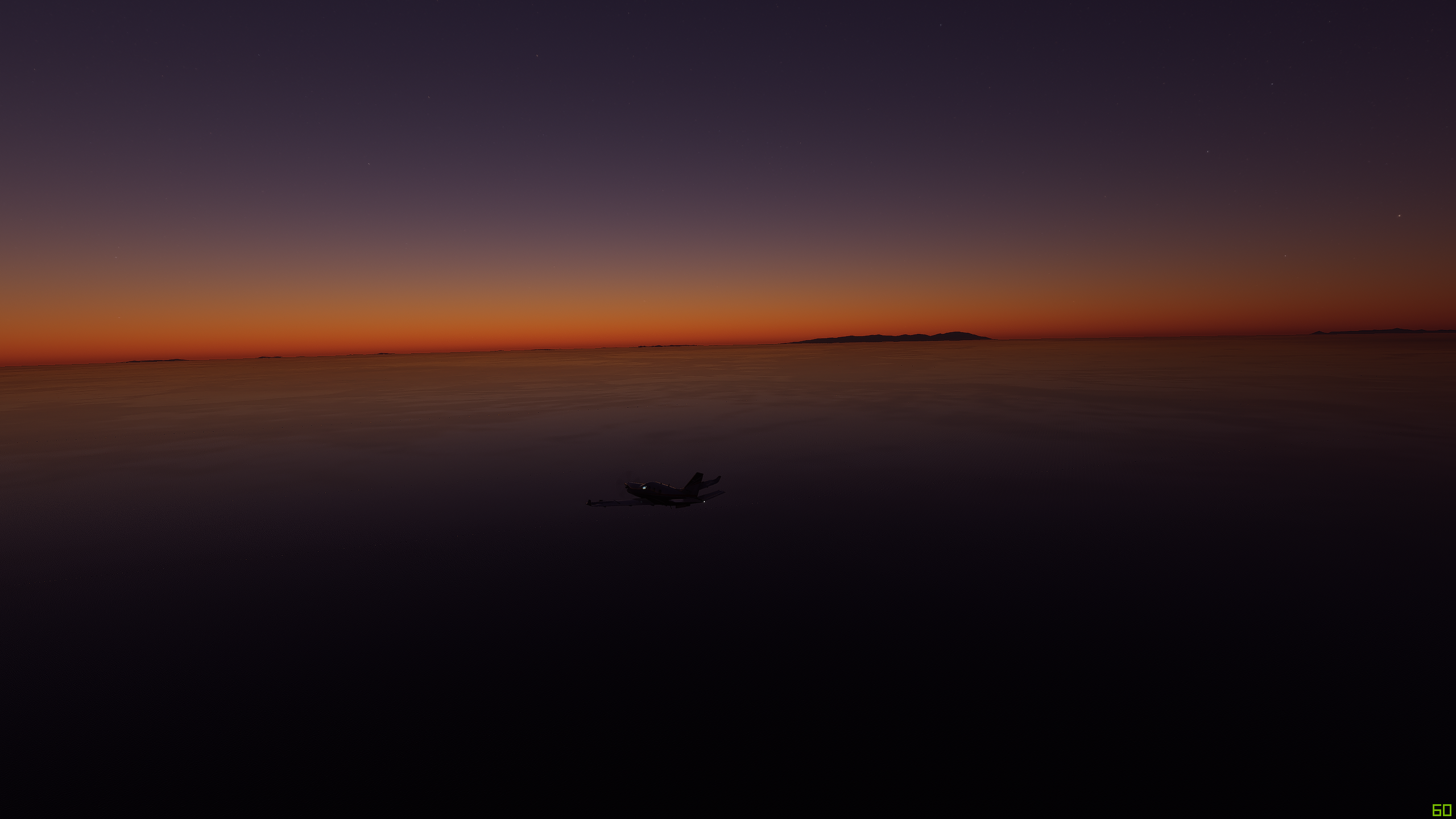
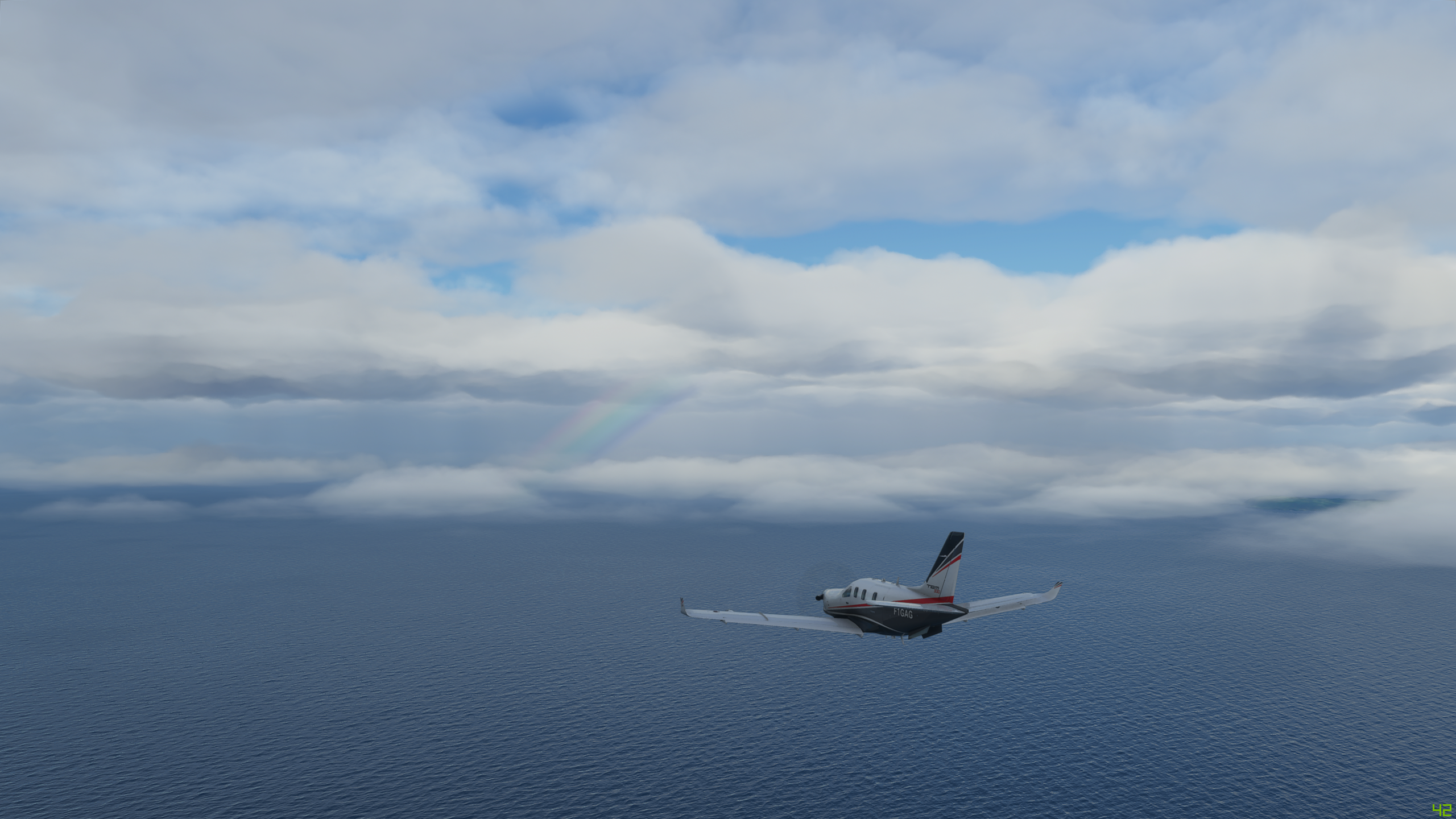
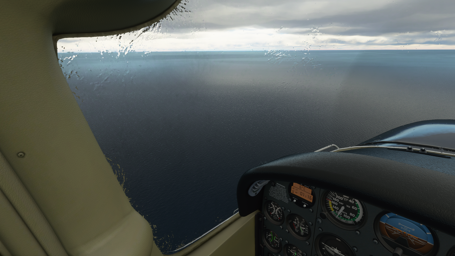
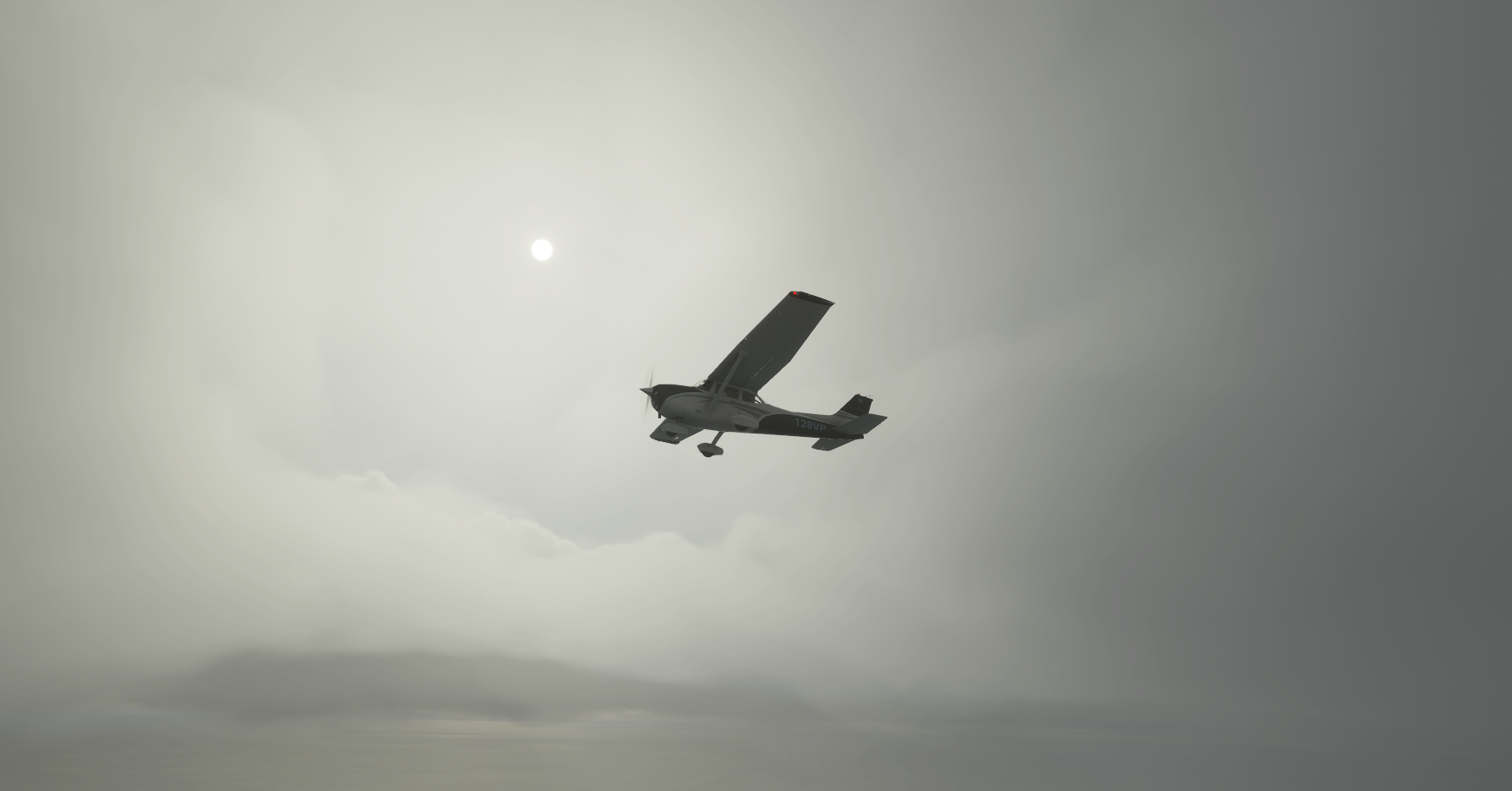
Level at 9,000’, now miles off the coast, I notice it’s starting to get cloudier…


Now the advantage of MSFS is that you can play around with different scenarios. I spent a ton of time in FSX just becoming a better airline pilot, and those modern jetliners can do anything you ask. Thunderstorms? Fly 200 miles around them. Fog? Pull up that HUD display, or let the autoland do it… Holding? Type it in. Ice? Go right through it. That may be an oversimplification, but that’s the point. In a C172 basic, no such luxury exists.

Today, a reminder there are limitations for this airframe. It says it can go up to 14,000’ but it would take about a decade. It has pitot heat, and that’s great for the pitot. But other than that. Great airplane. Reliable. Not ice protection.


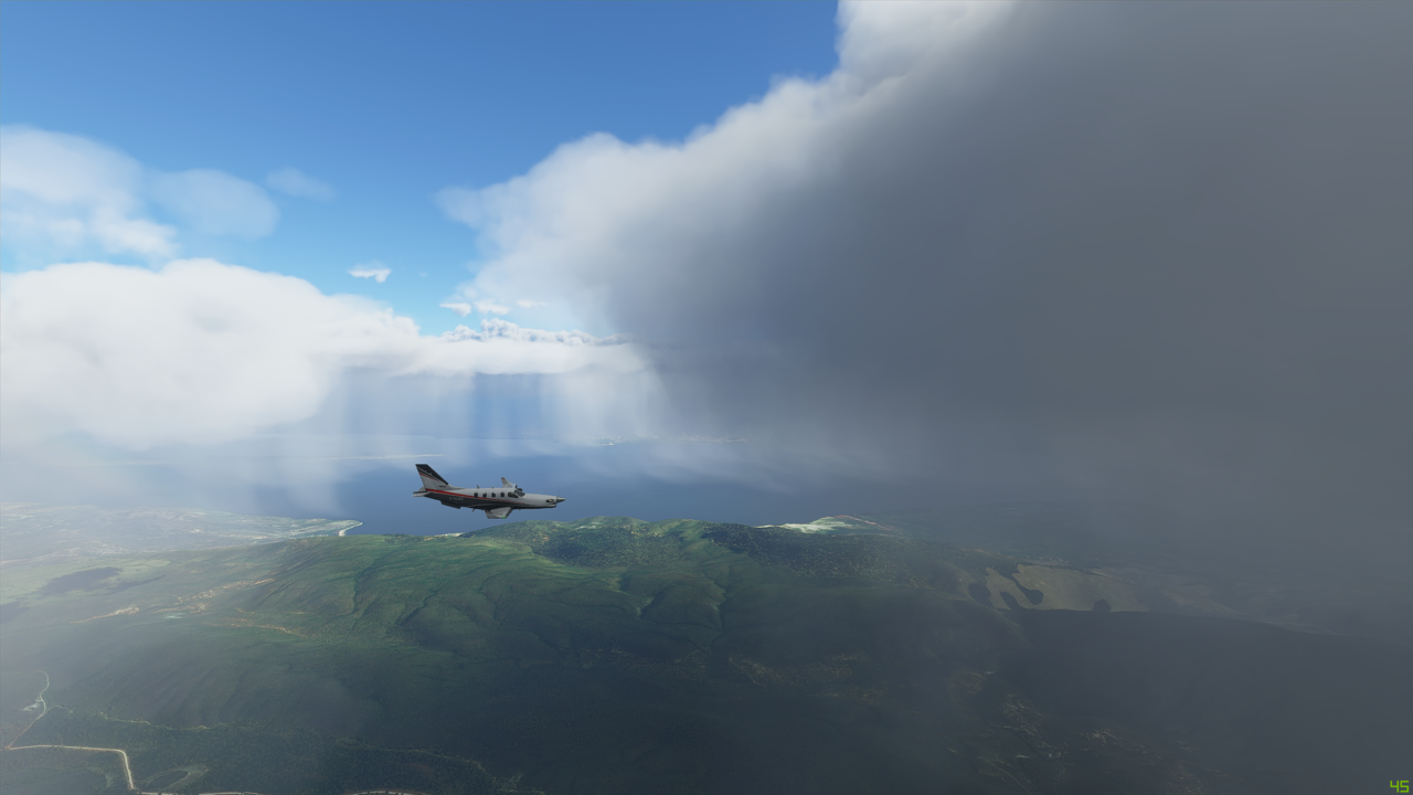
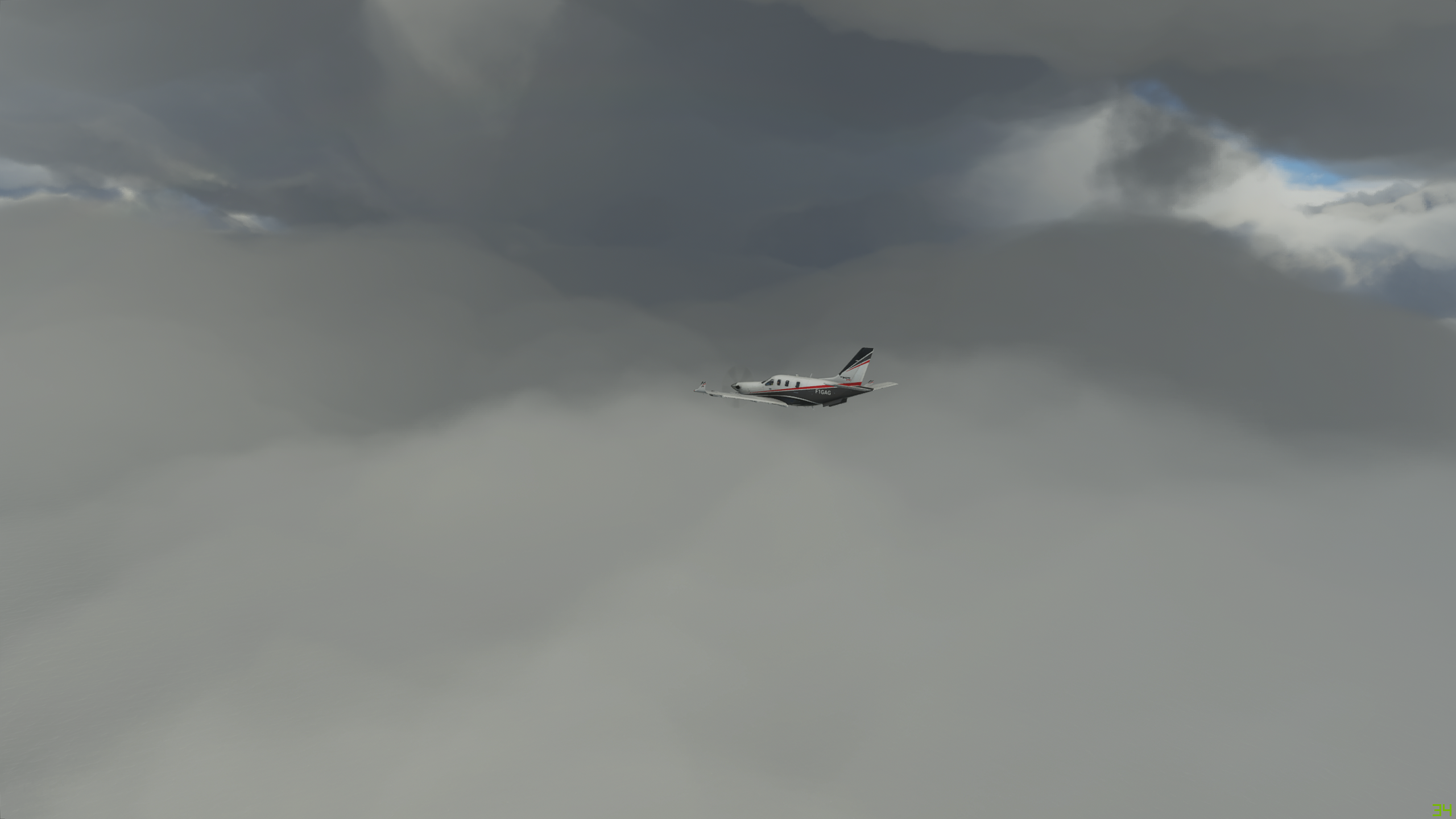
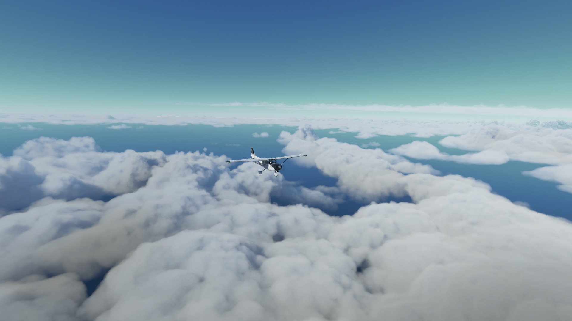
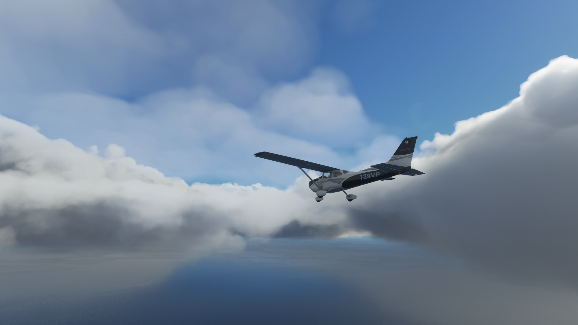
I begin to notice some buildups starting to form. But nothing huge. I’m looking like I’m still fairly in the clear. Then it built a little more. I decided to try a shallow climb up to 10,000. It looks like I’m going to clip these tops. I pull up a weather chart quick, and when I look back up, I see this :open_mouth:!


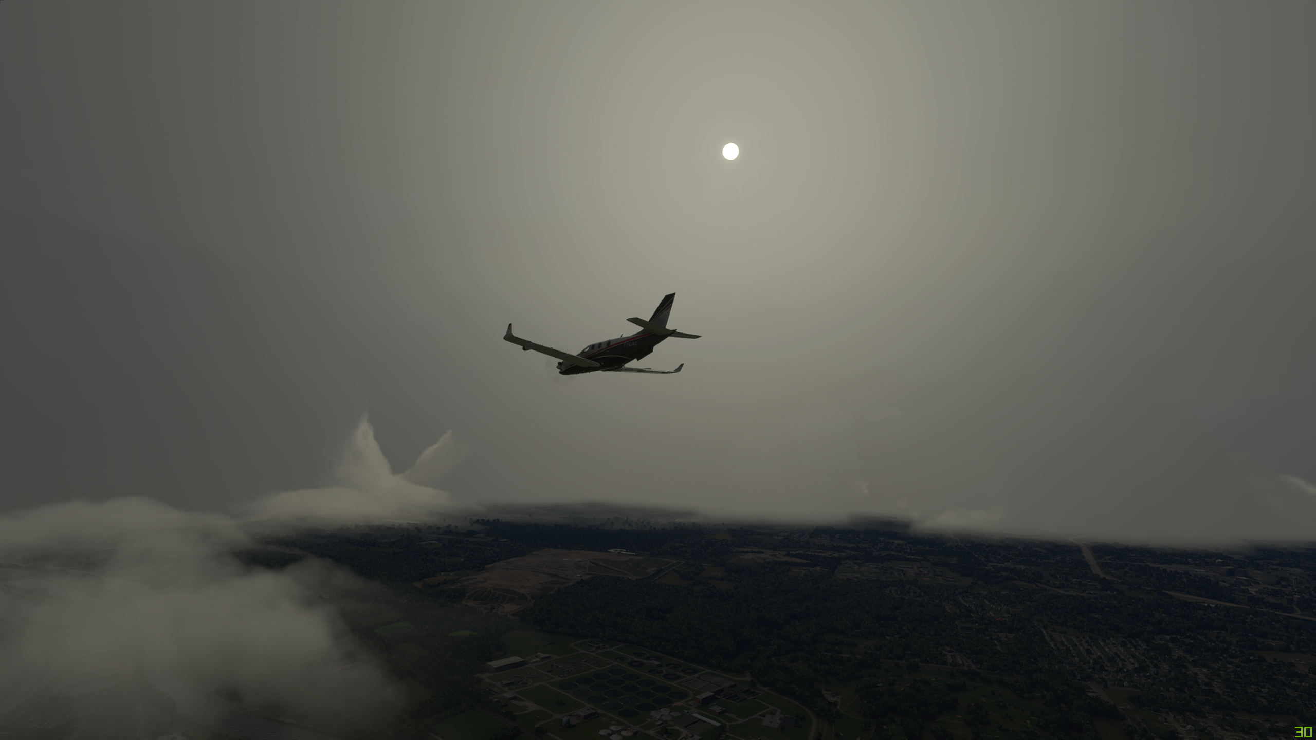
Da heck? Well after comparing some more data (which I am going to make an entire post about on it’s own) - I was in a pickle. This is so true to life as well. Clip cloud tops when it’s between about -3 to -12 C, and you will get ice. A captain, I once flew with would like to say, “ice ice baby”. :grin:

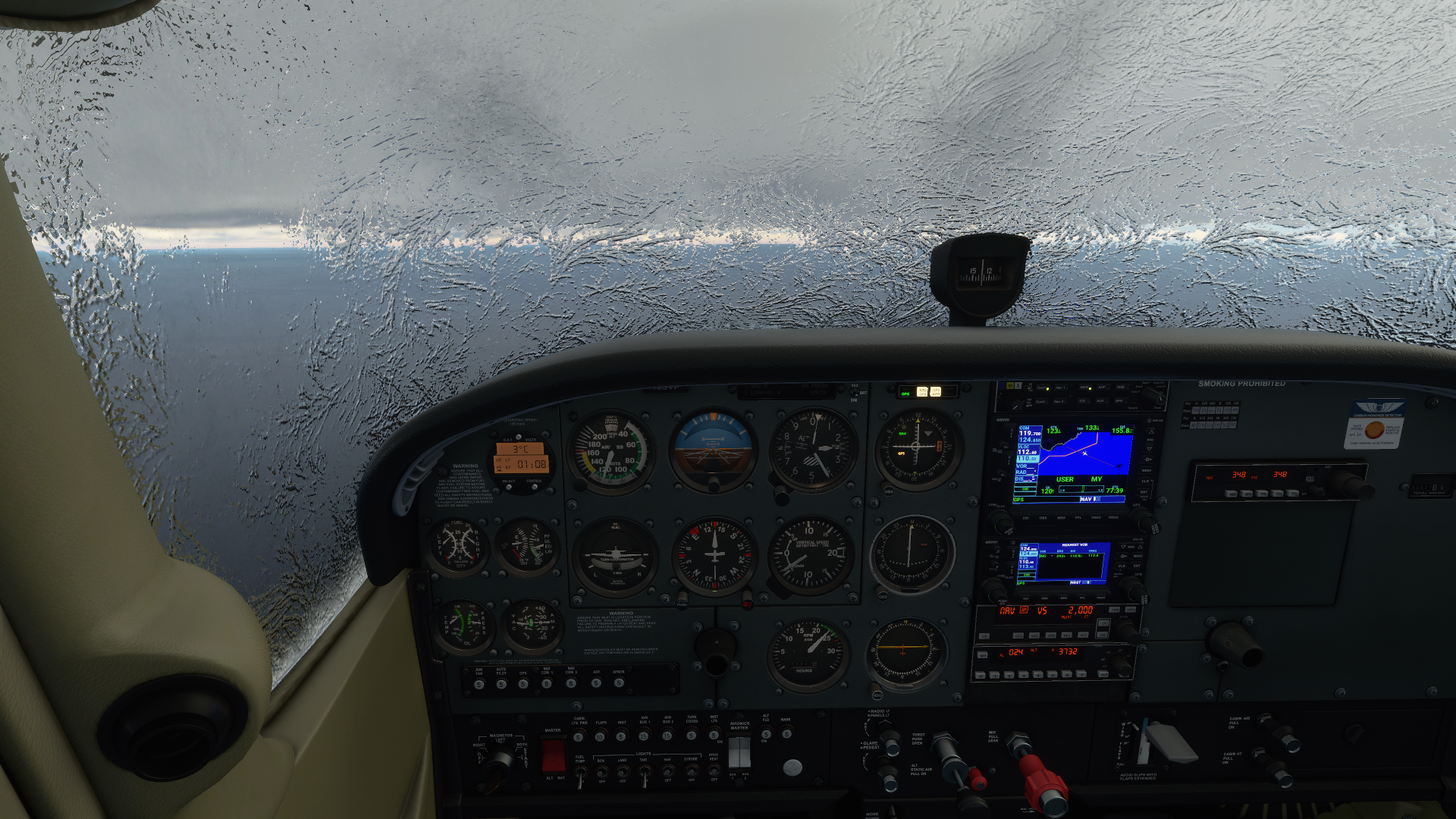
Joking aside, the weather maps I was looking at said I was in a band of precip. It was -6 C at 9,000 ft and I am pressed to avoid it. Well, let’s have a look see because I am confident I could descend, as seasoned pilots do, to a foot above sea level, if I had to. Only water. Well, the waves can get rough. Let’s make that 500’ MSL if I needed. Not that I wanted to, but.


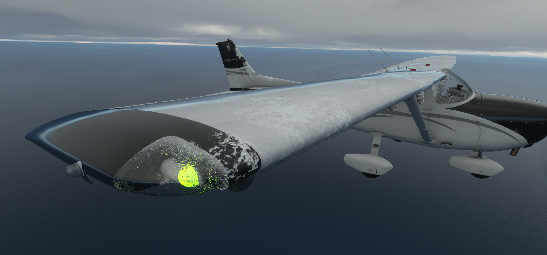
Now here I am popping in and out getting more ice each time. It was fun. I couldn’t stay and play for long, but let’s see what Asobo was up to.


After realizing that Asobo was really going to ice my airplane into oblivion, I had to get on VHF and give out a “Pan Pan, Pan Pan, Reyjavik Control, N128YP on G3 passing 14 West is in moderate ice, descending now to 500’, will contact on HF frequency when able.”

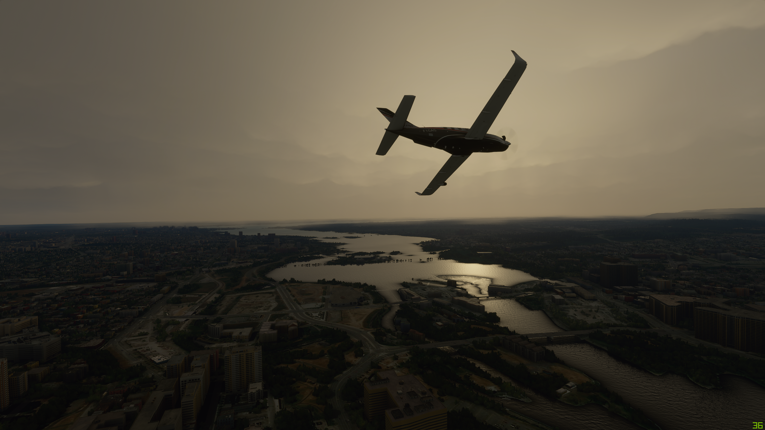
Pulled back the power, pitched the nose over and hurry on down.


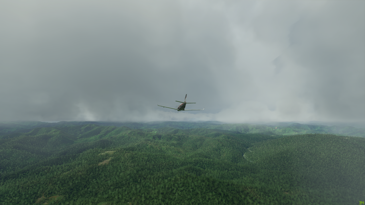
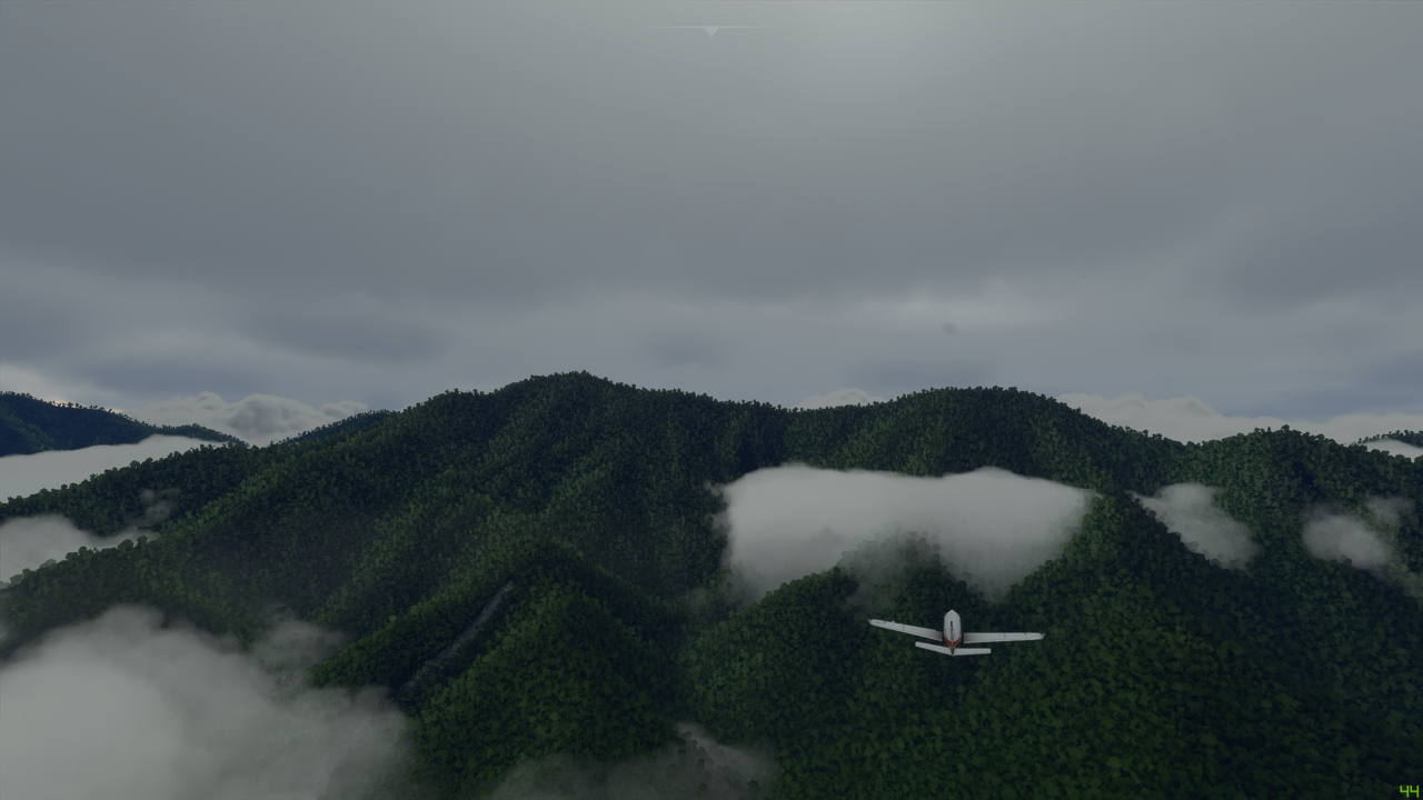
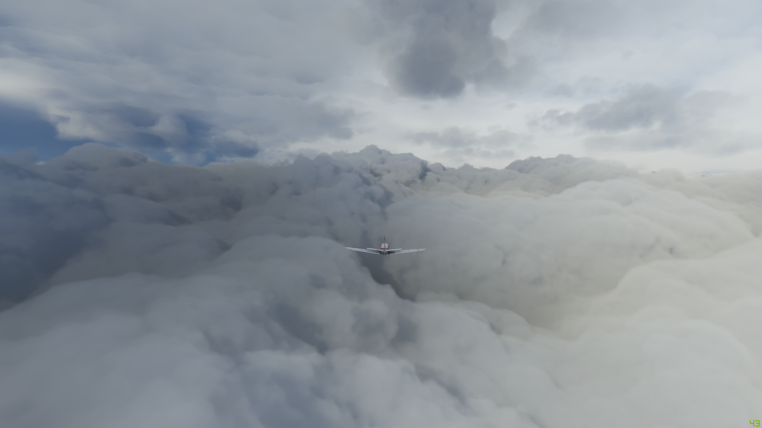
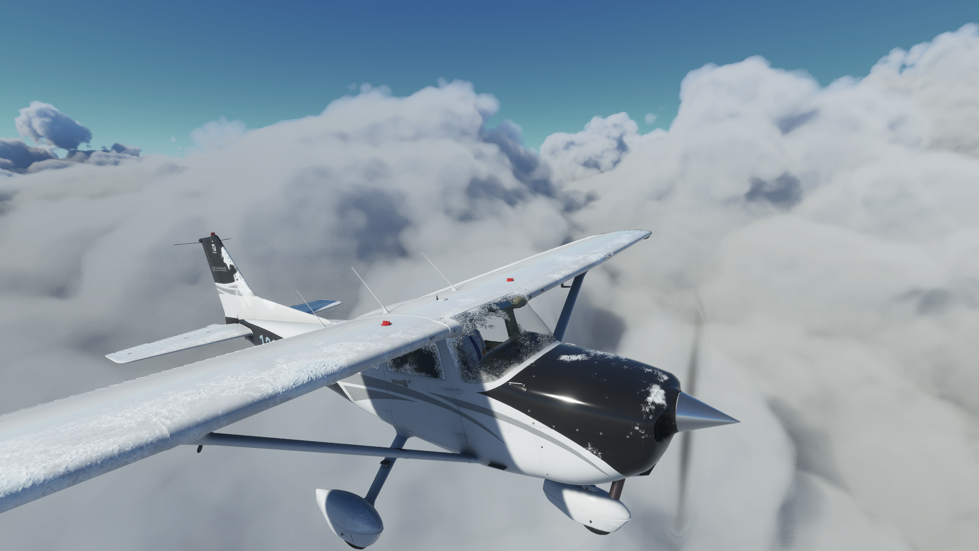
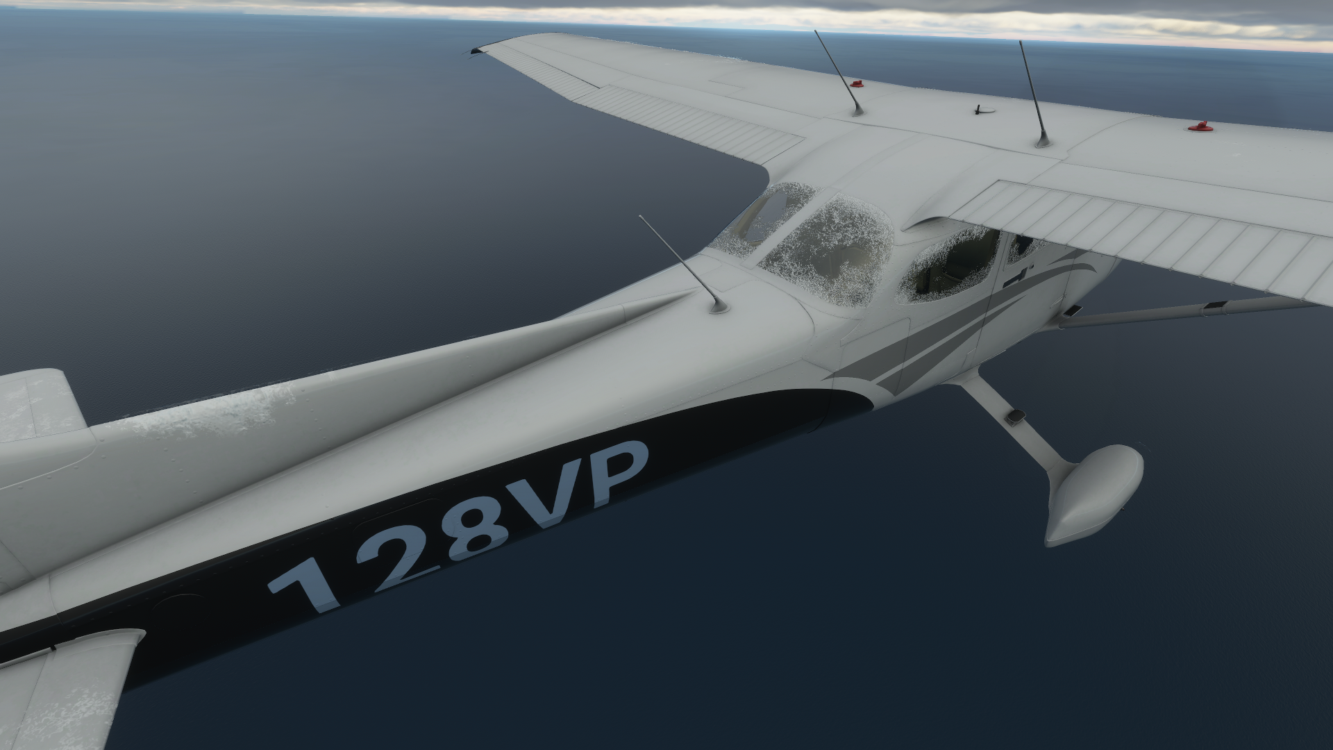
Finally beneath the layer, iced up as ever:


Definitely do not, I repeat do not want more of that stuff on the vertical stab:
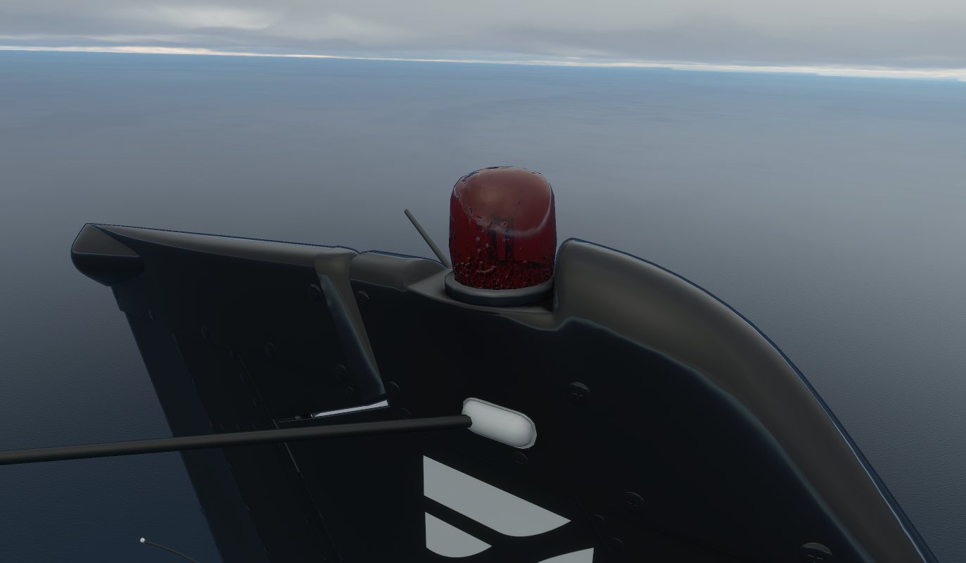

Look at Asobo, go :wave:!! There is trace ice on the bulb of the anti-collision light. Holy cow!


Now at my 500’ above the deck goals, the ice slowly is melting off. I’m plus 6 C, looking good. Now to figure out my fuel, given the fact I can only probably get back to 3,000’ after the ice melts off, and wait til this all clears up.

Long story short, real life weather images said it would clear at 10 West. It’s a ways off, but not too far off - will it clear? Will Asobo’s magic work again. Will the real world, actual satellite imagery match?


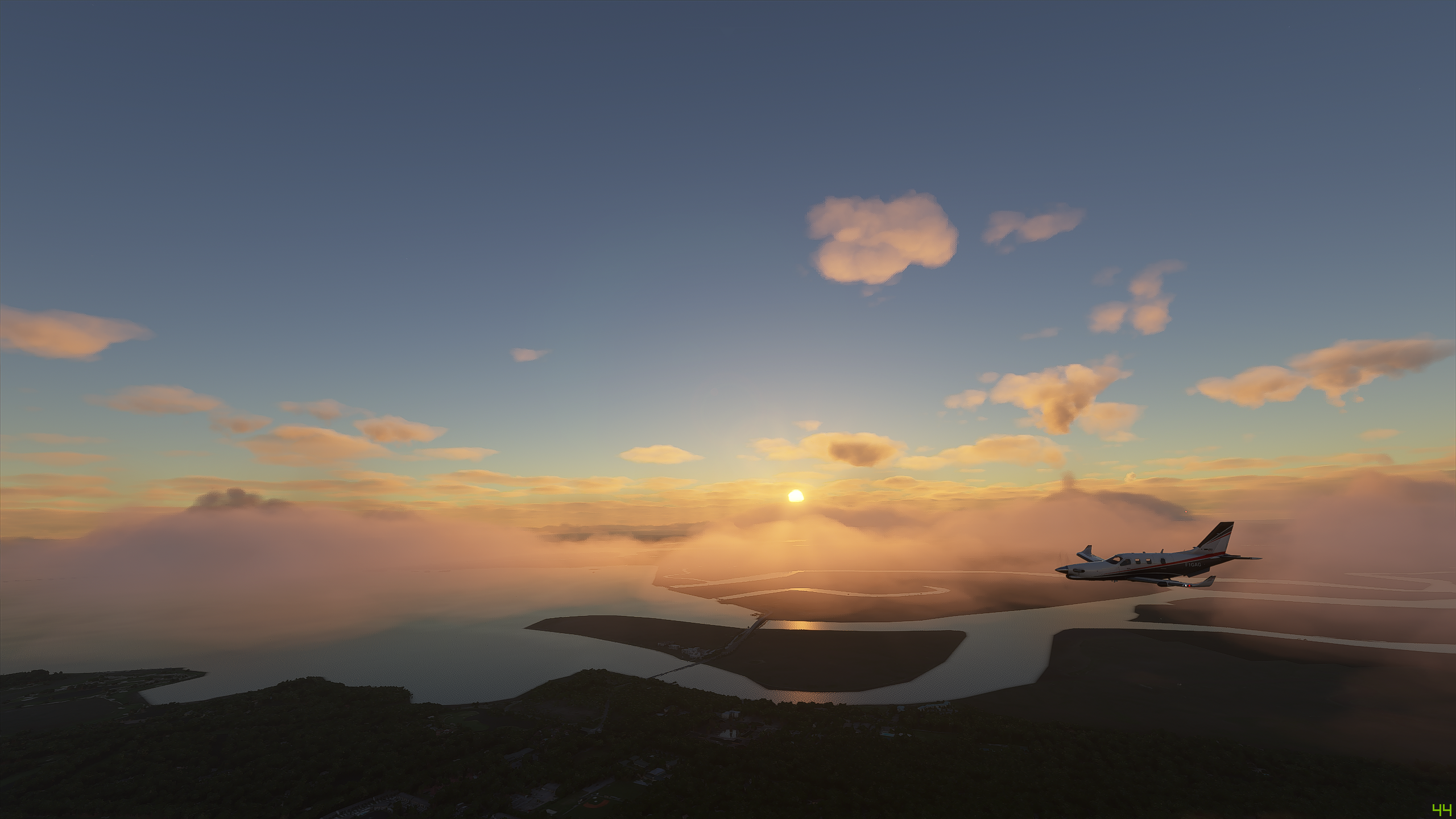
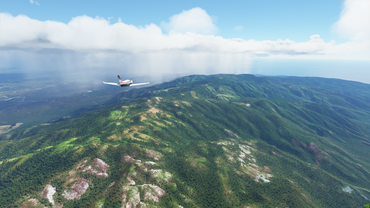
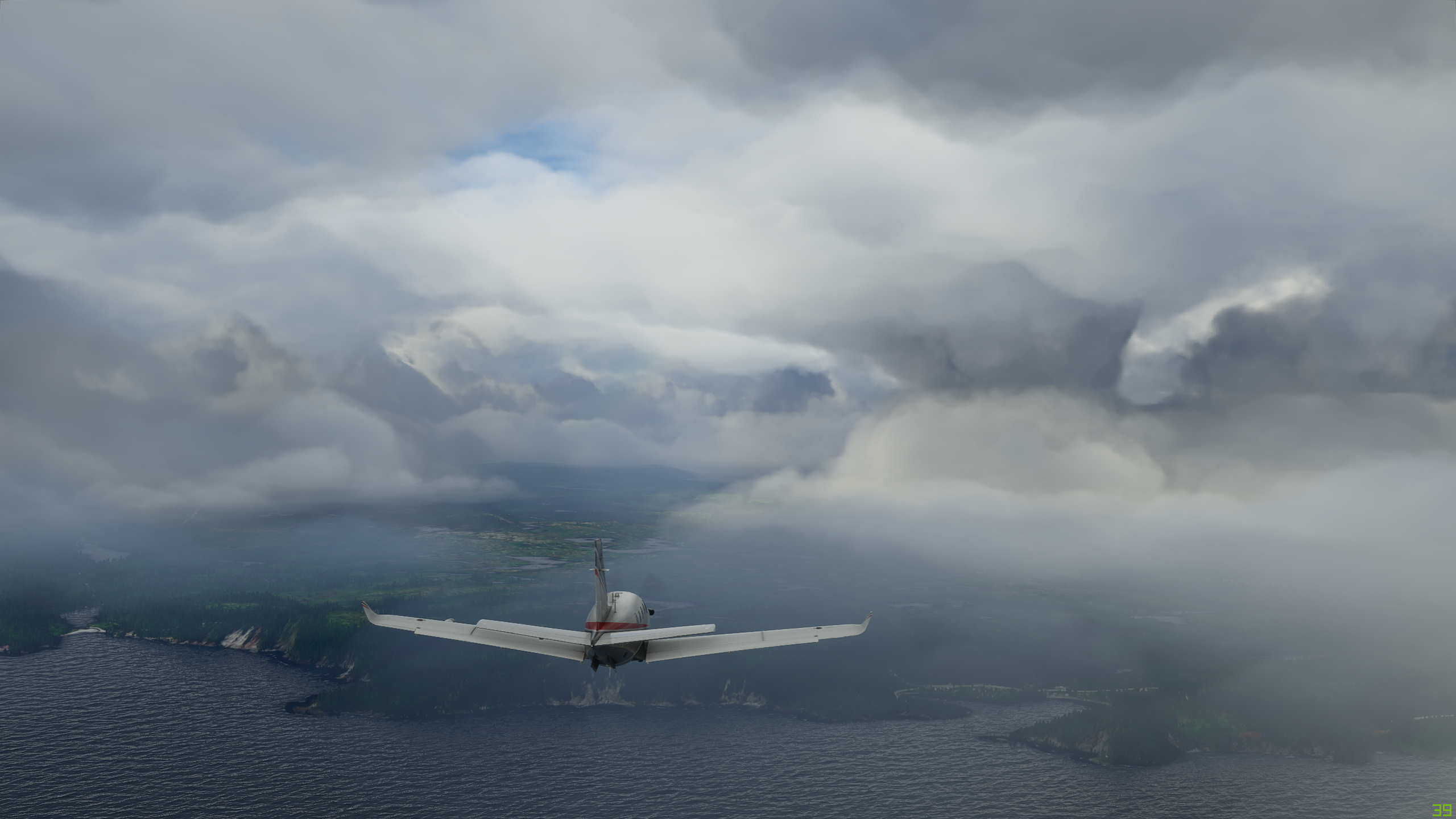
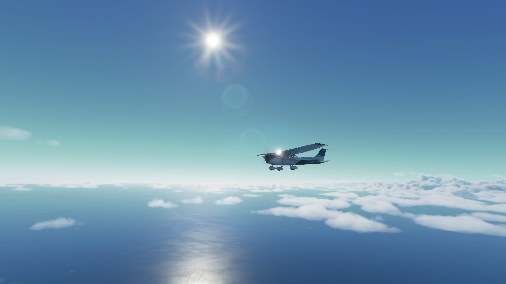
Getting closer to 10 West. Seems to be breaking up?! I can spot the sun. I’m going to trust Asobo. I’m climbing back up to 9,000.


Oh my. Really? It looks like it truly is clearing out. Will it clear?


Well everyone. Nearing 10 West, I could see the sun, I could see everything. I just flew through an actual system replicated down to the detail of when it would clear. This is amazing and oozes potential. Wow!


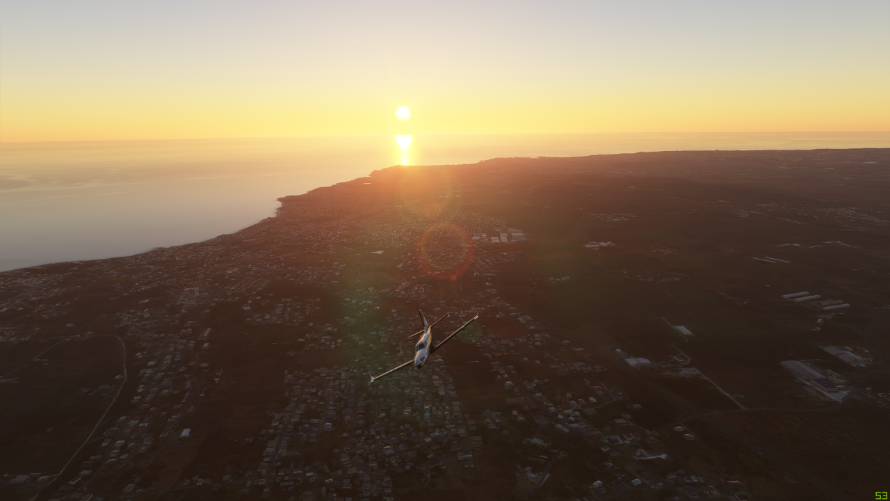
As I approach the Faroe Islands, time to wrap up the rest of this post as expeditiously as possible. With a comic twist at the end.

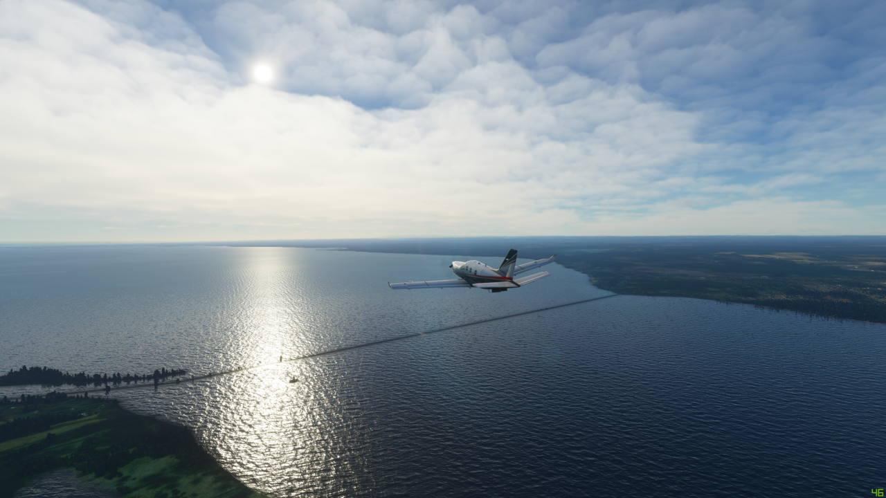
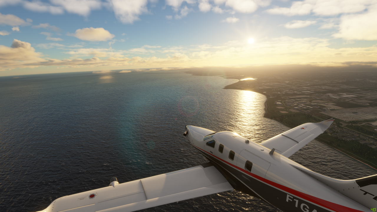
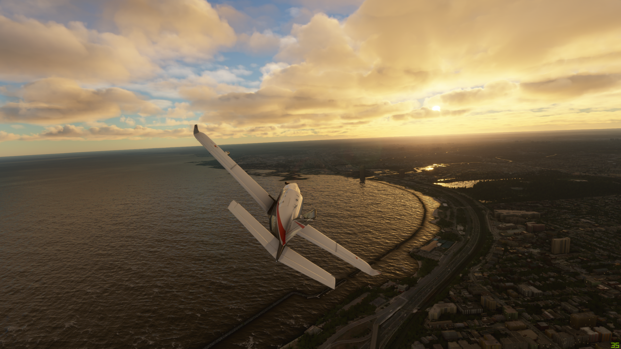
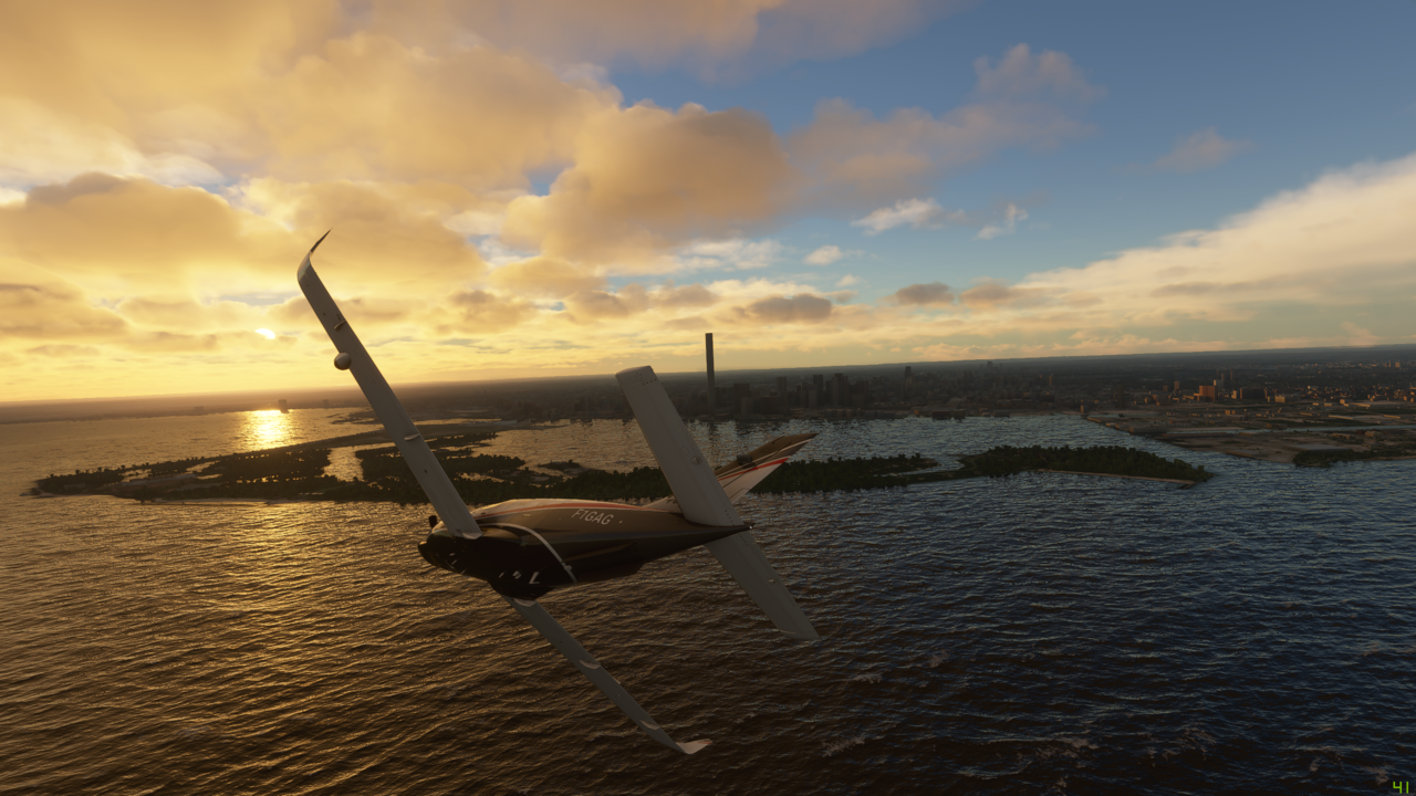
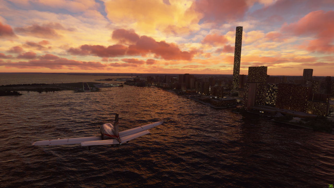
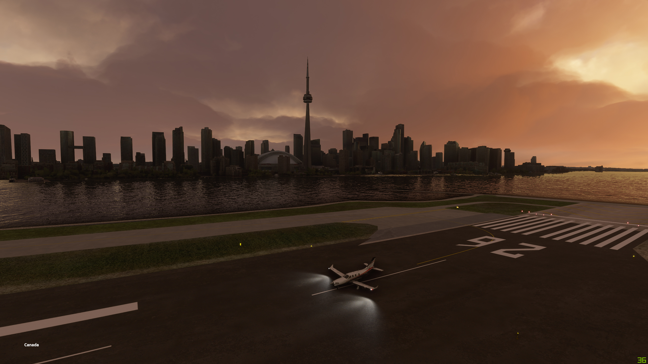
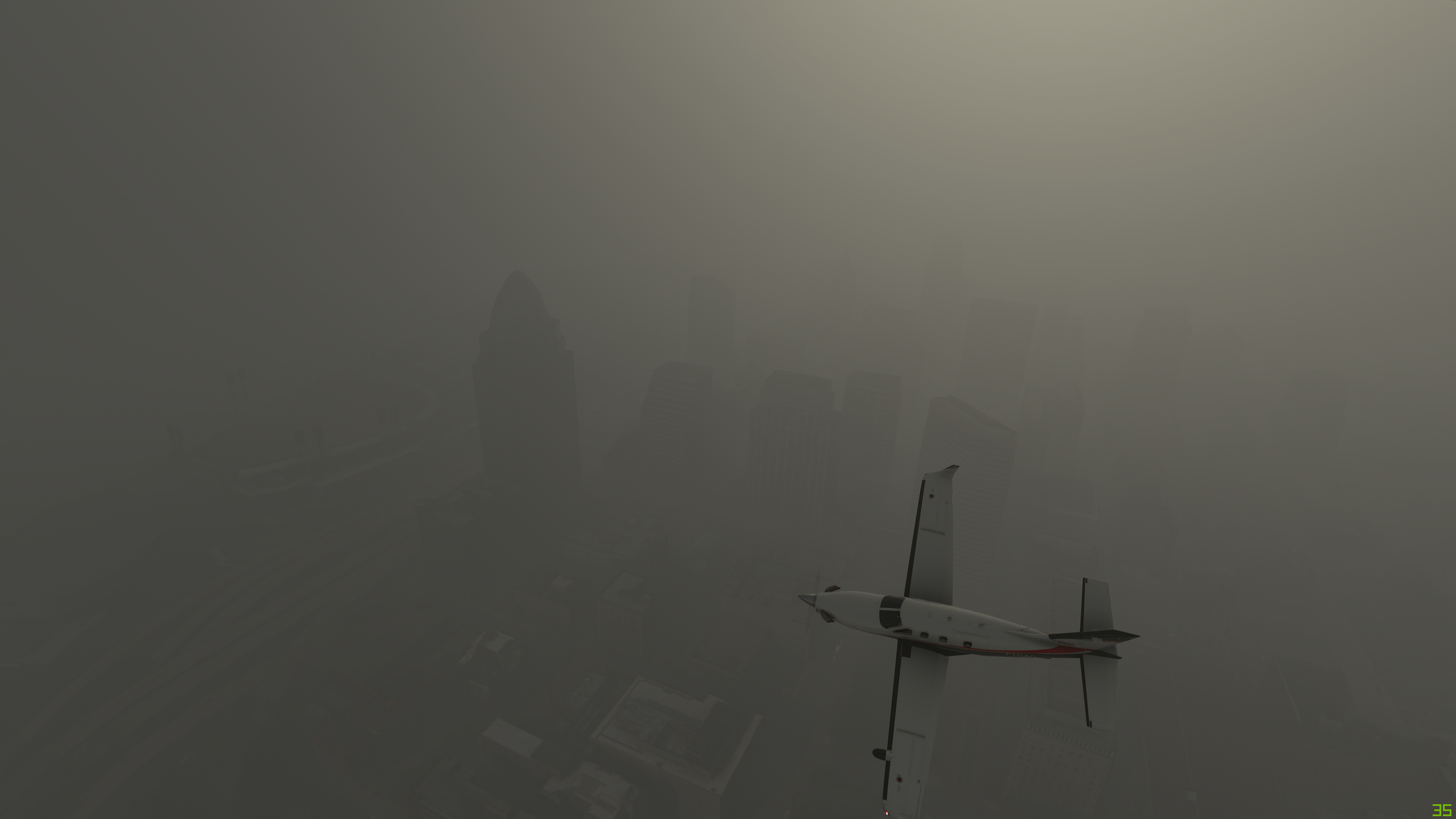
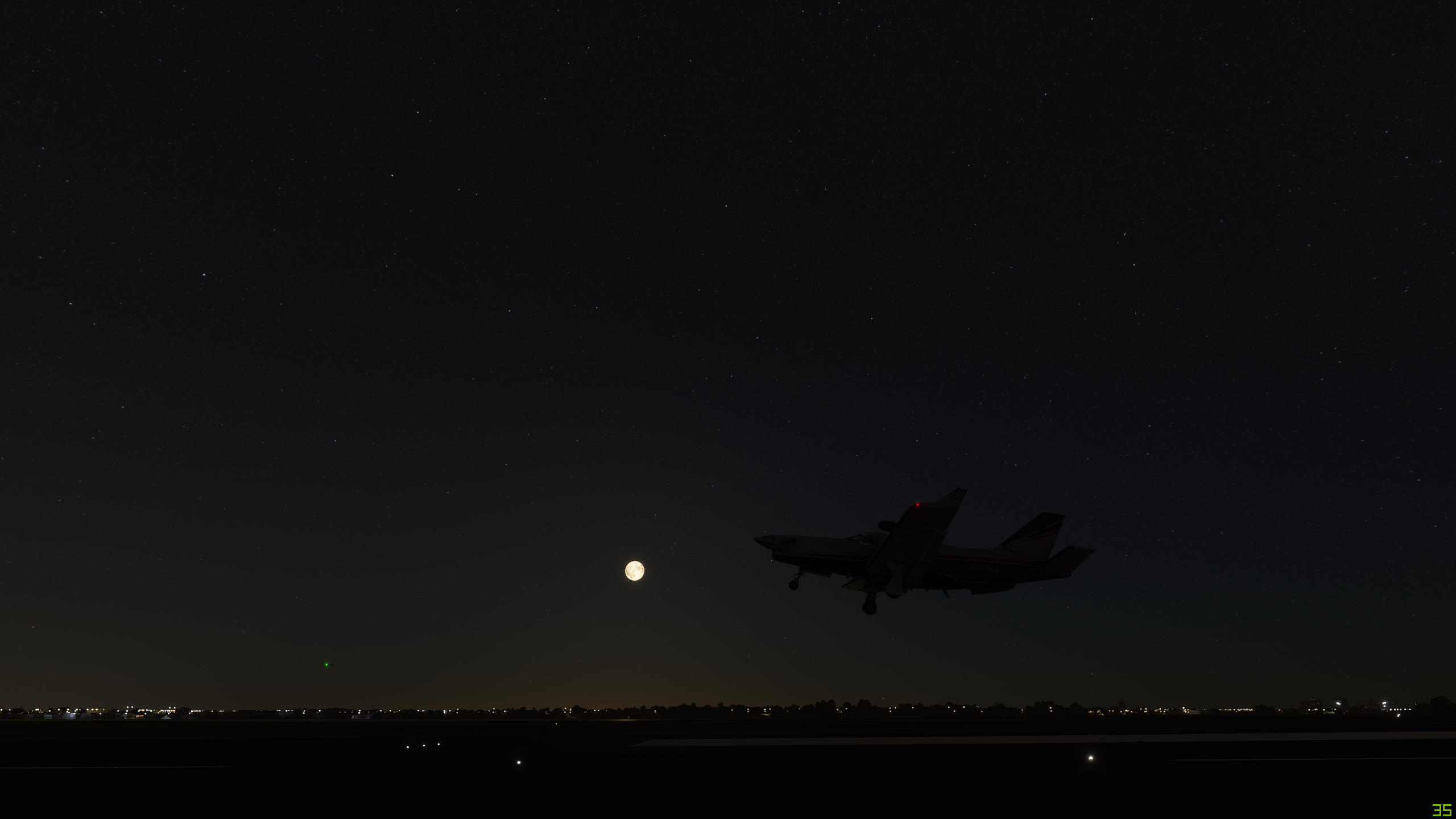
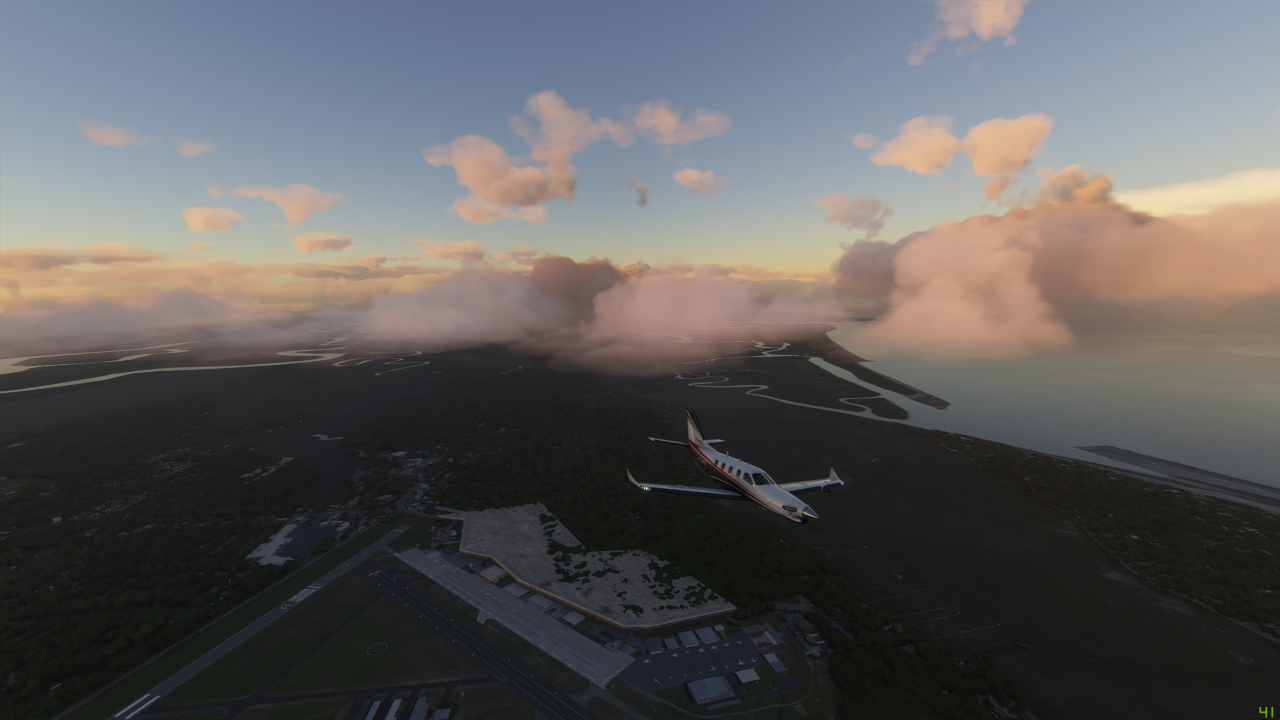
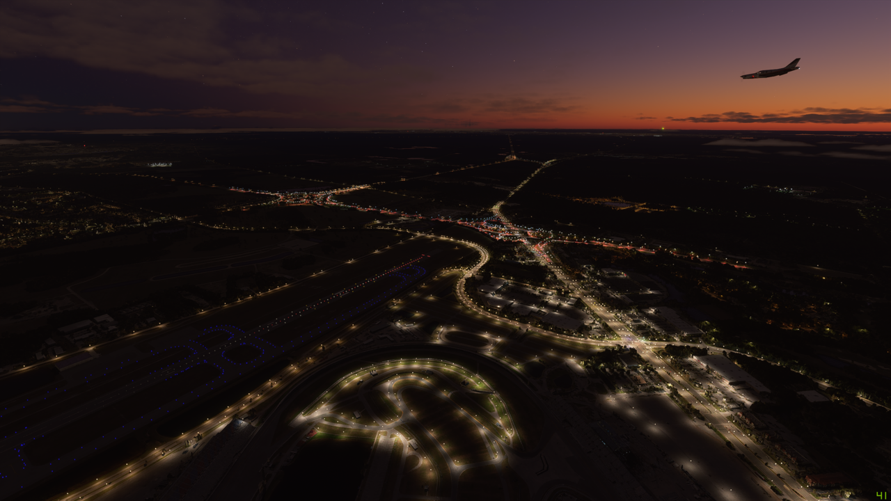
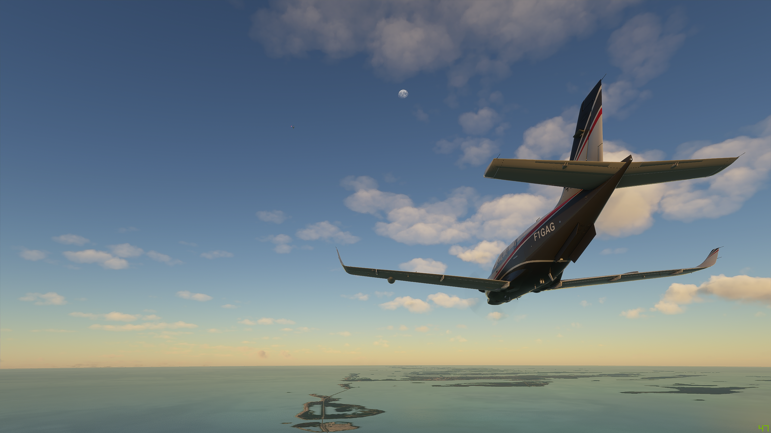
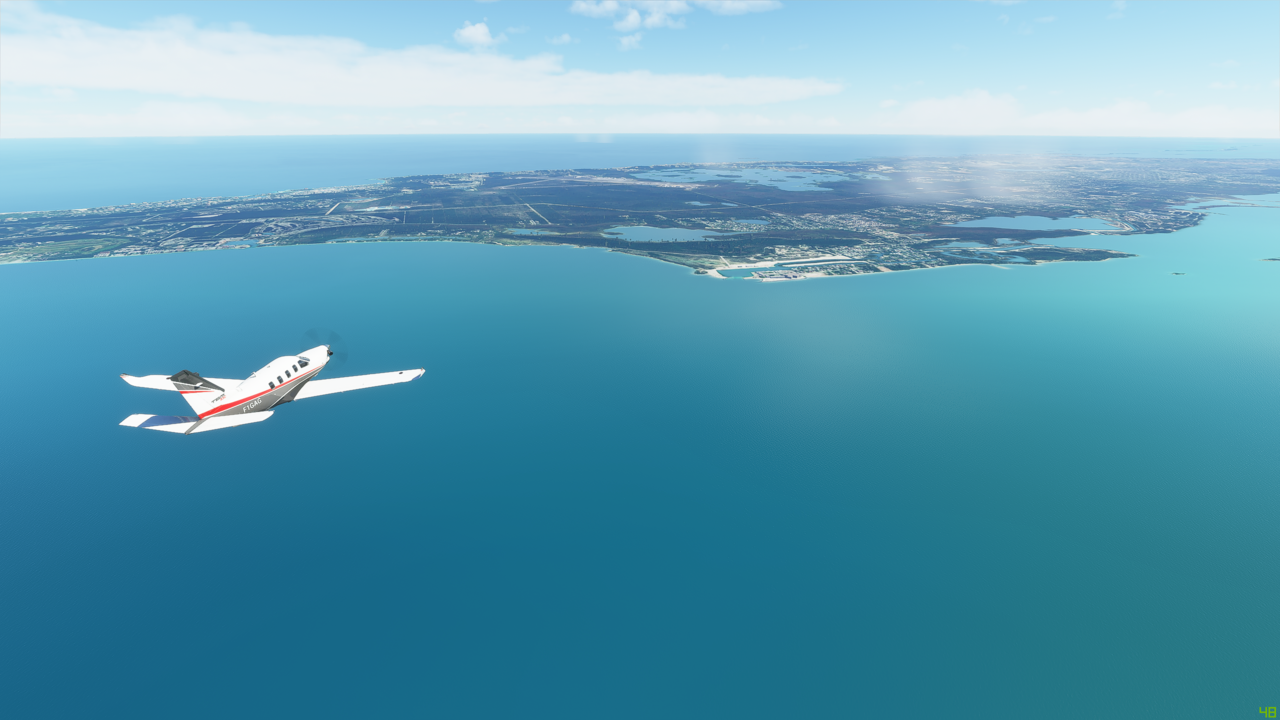
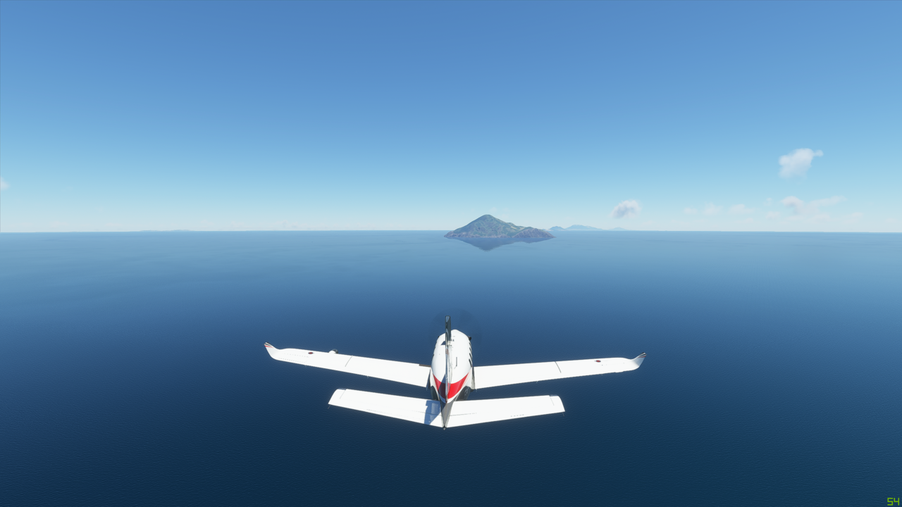
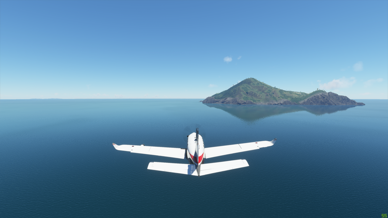
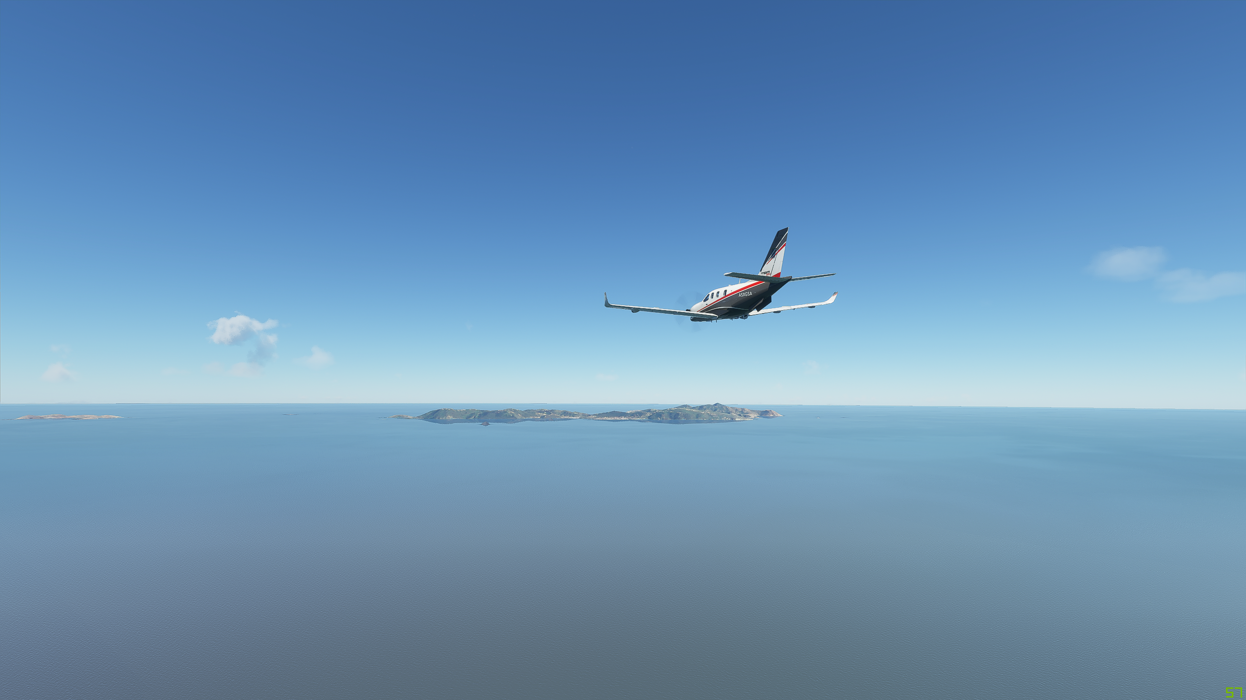
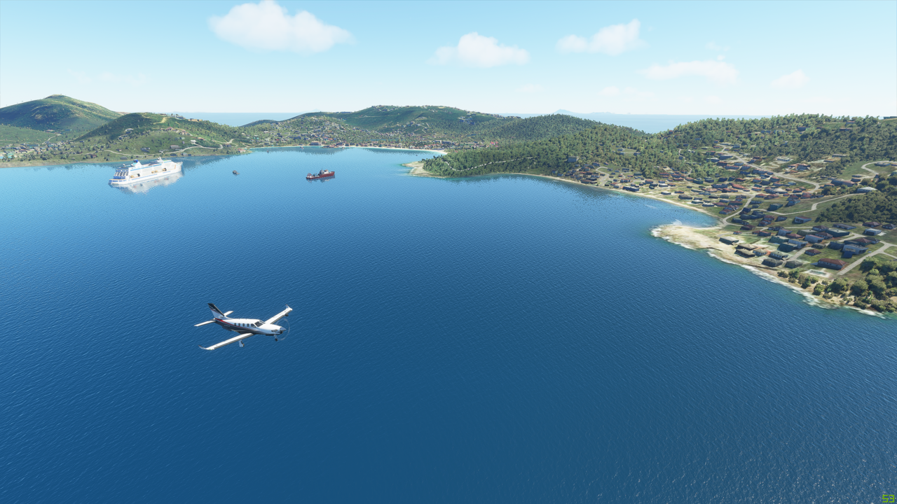
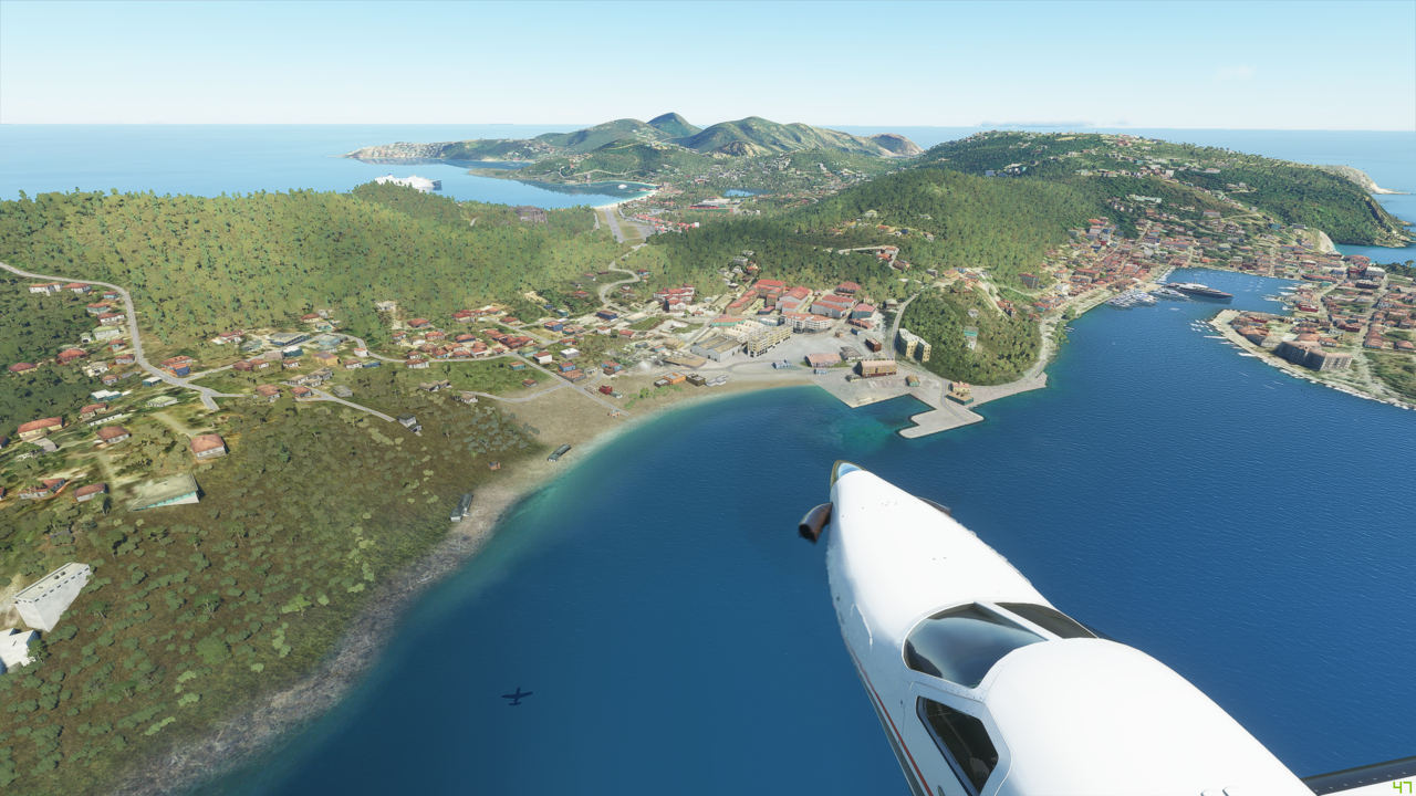
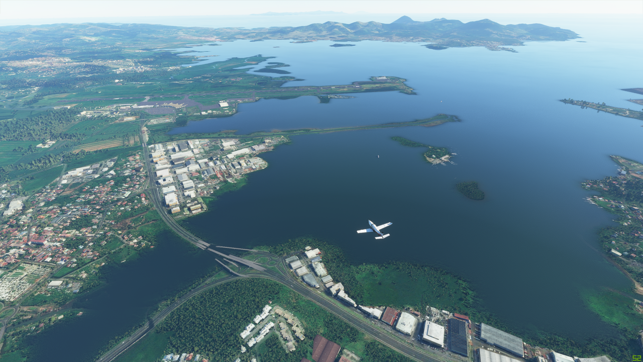
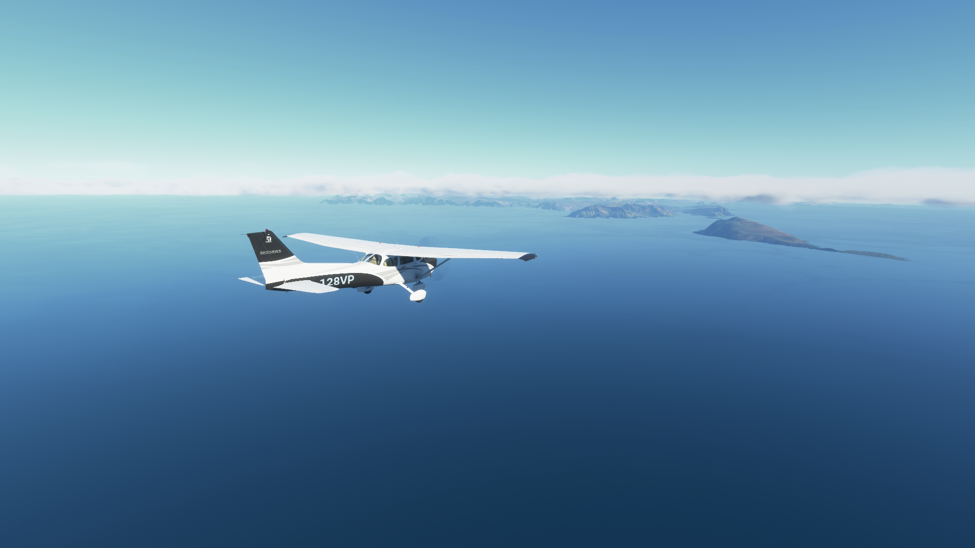
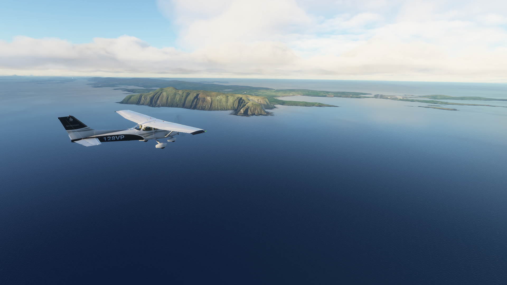
Approaching the Faroe Islands, the gateway to Norway and Scotland for this little guy:


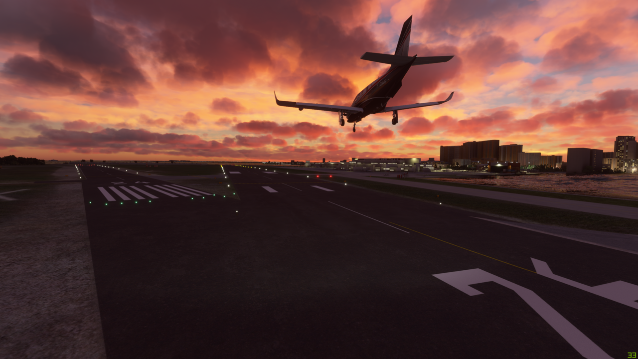
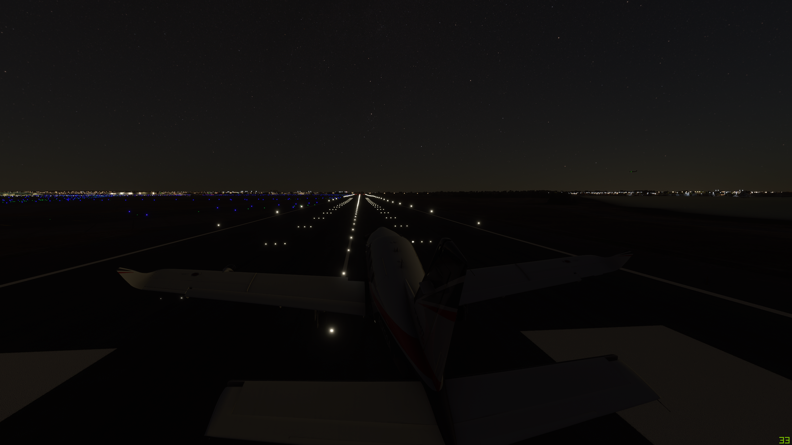
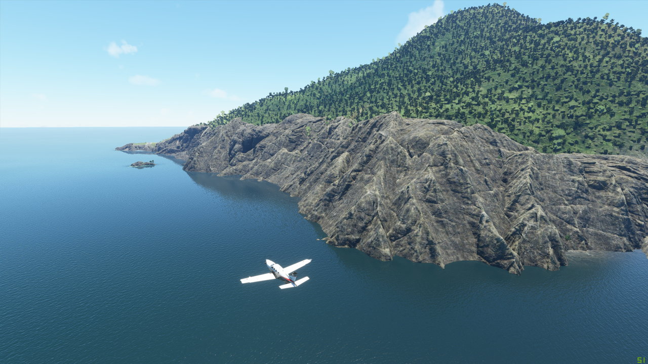
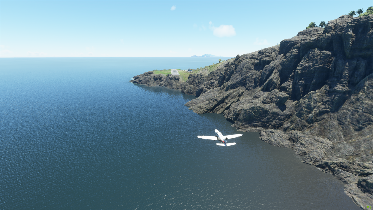
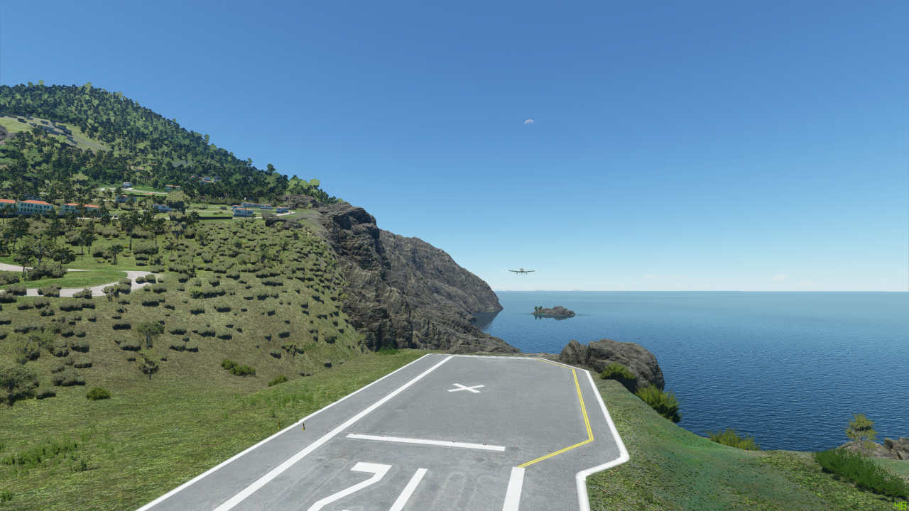
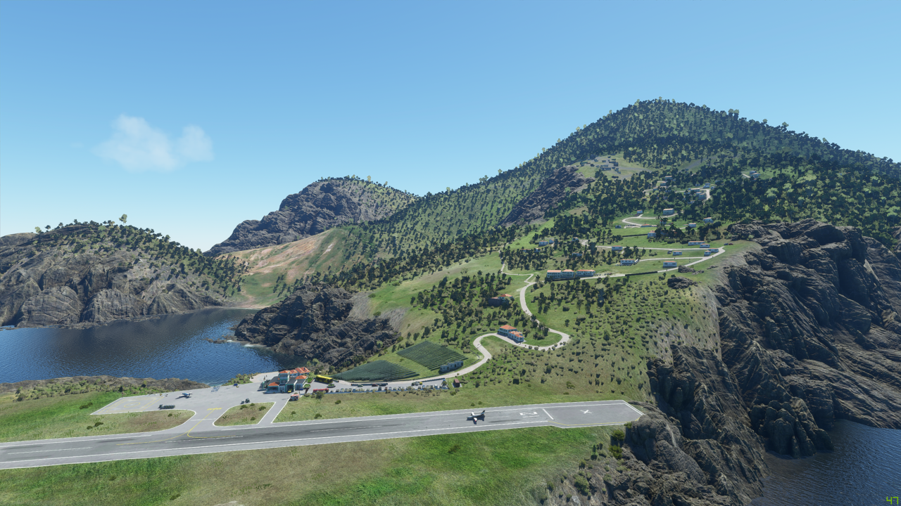
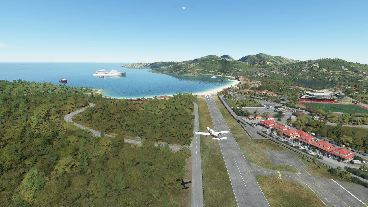
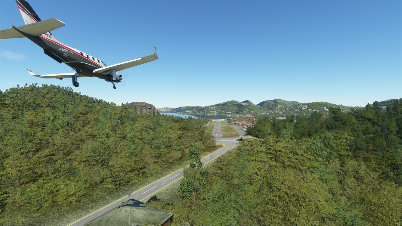
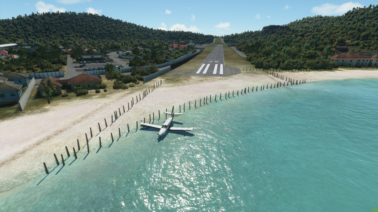
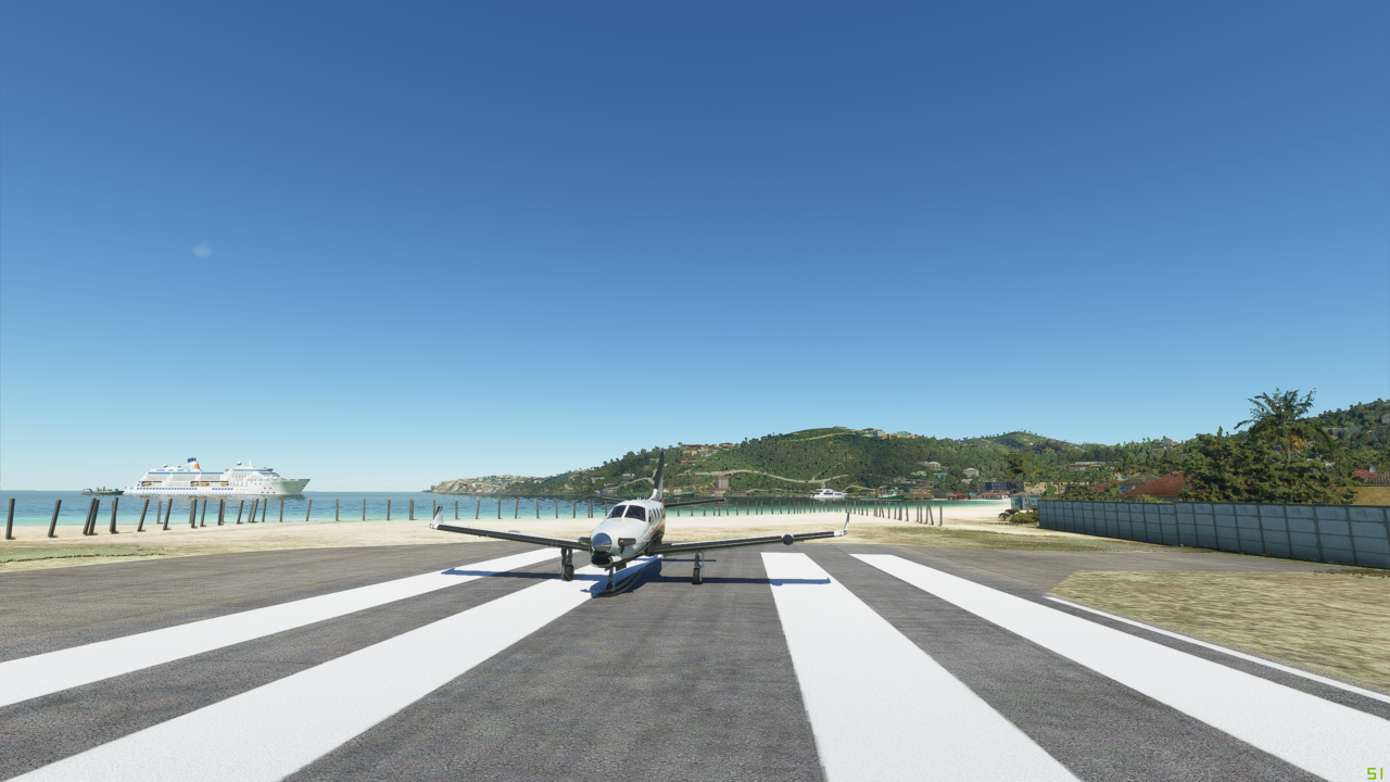
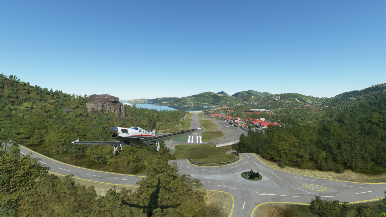
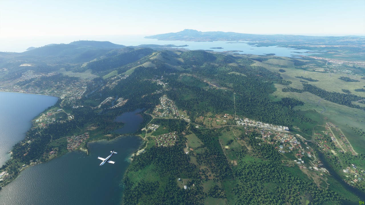
The historic Vagar airport: :neutral_face:


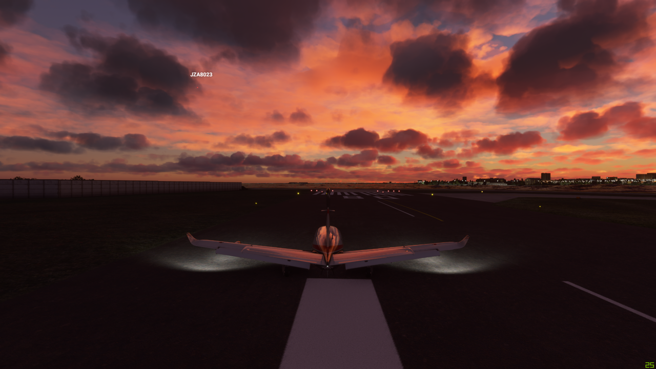
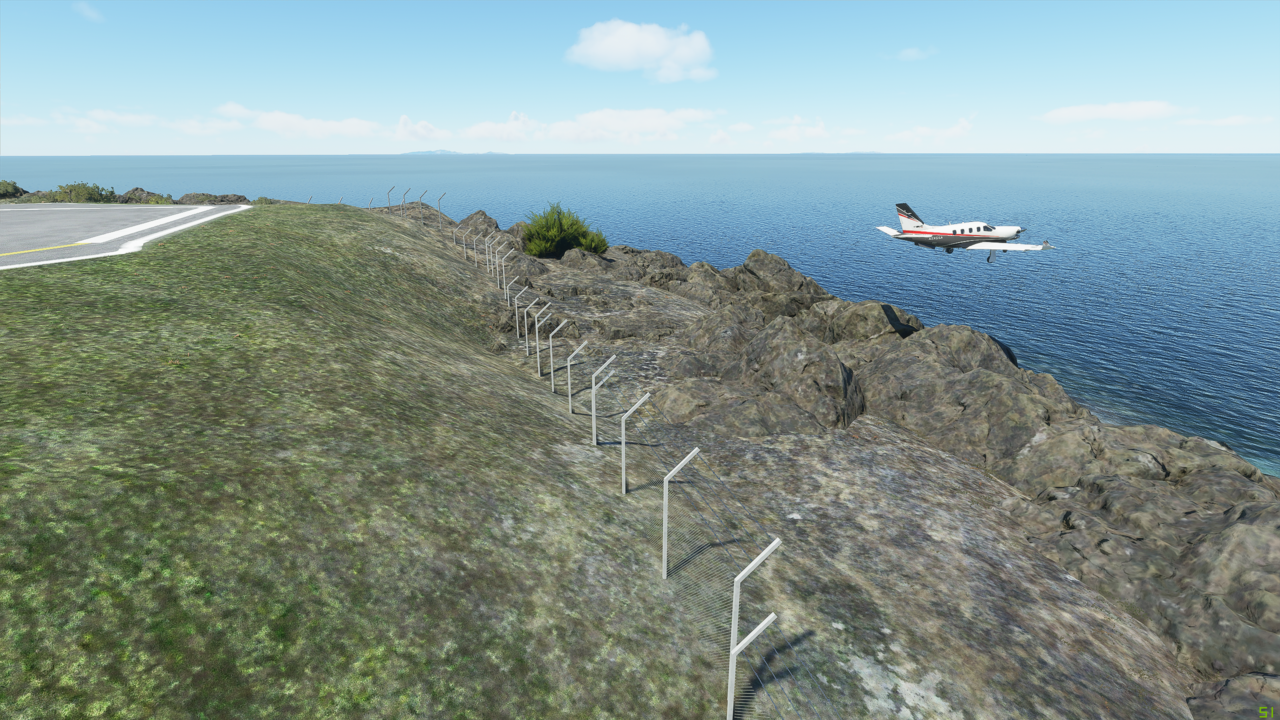
This is not place to stay. An interesting take-off down a hilly road/ taxiway? Yep, flaps 10, short field. Fingers crossed. Being ahead of schedule, I’m going to fly another two plus hours. I’m headed to the Northern Isles of Scotland, where there is decent weather, and an actual airport. Sumburgh, UK (EGPB).


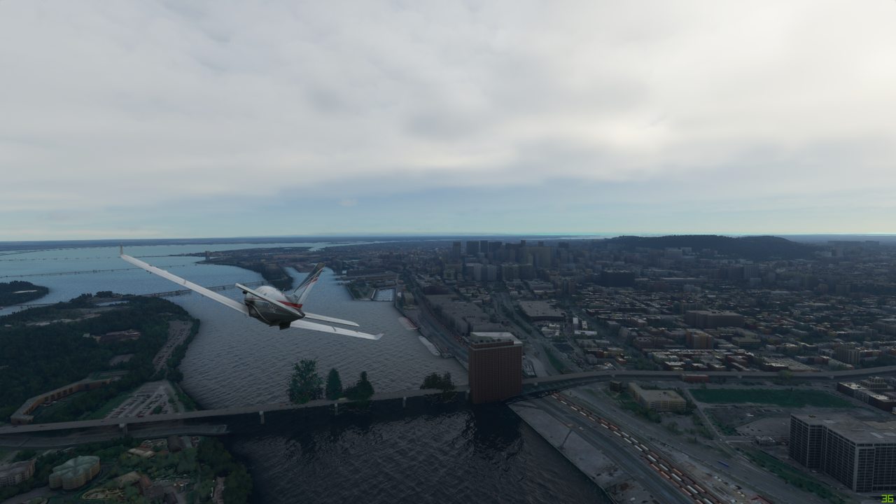
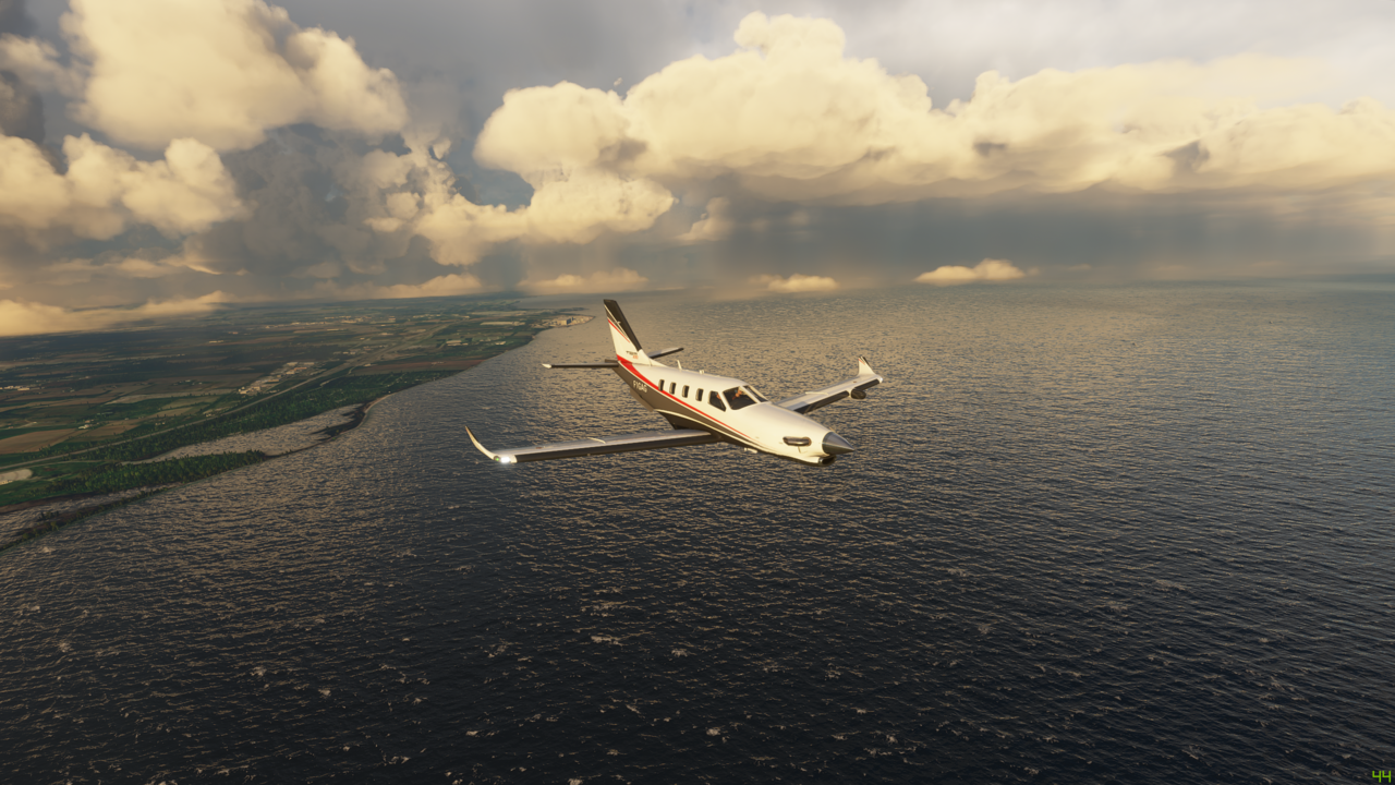
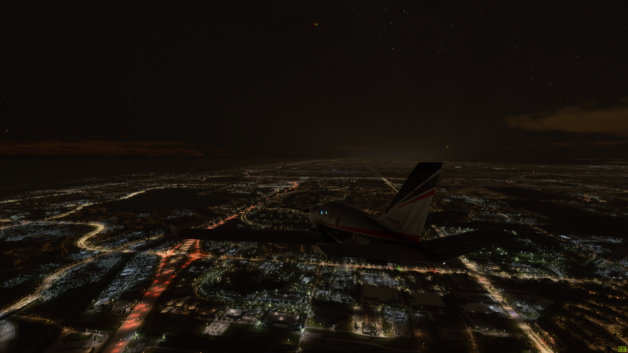
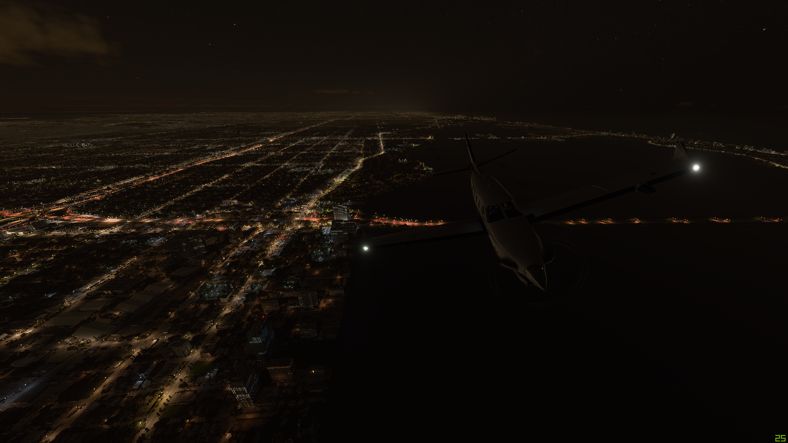
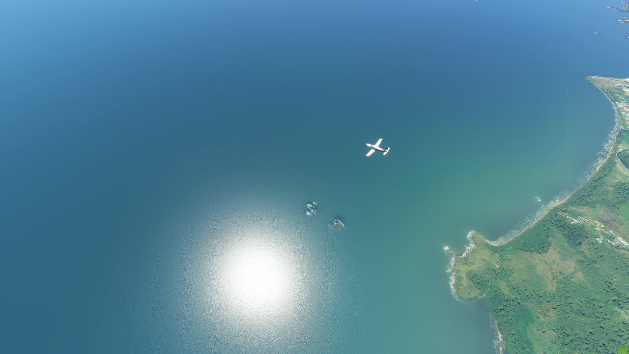
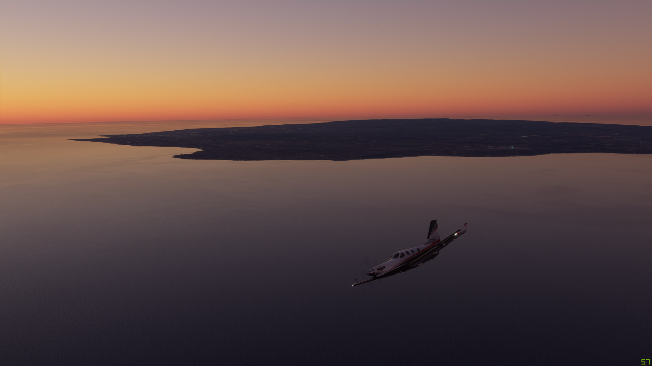
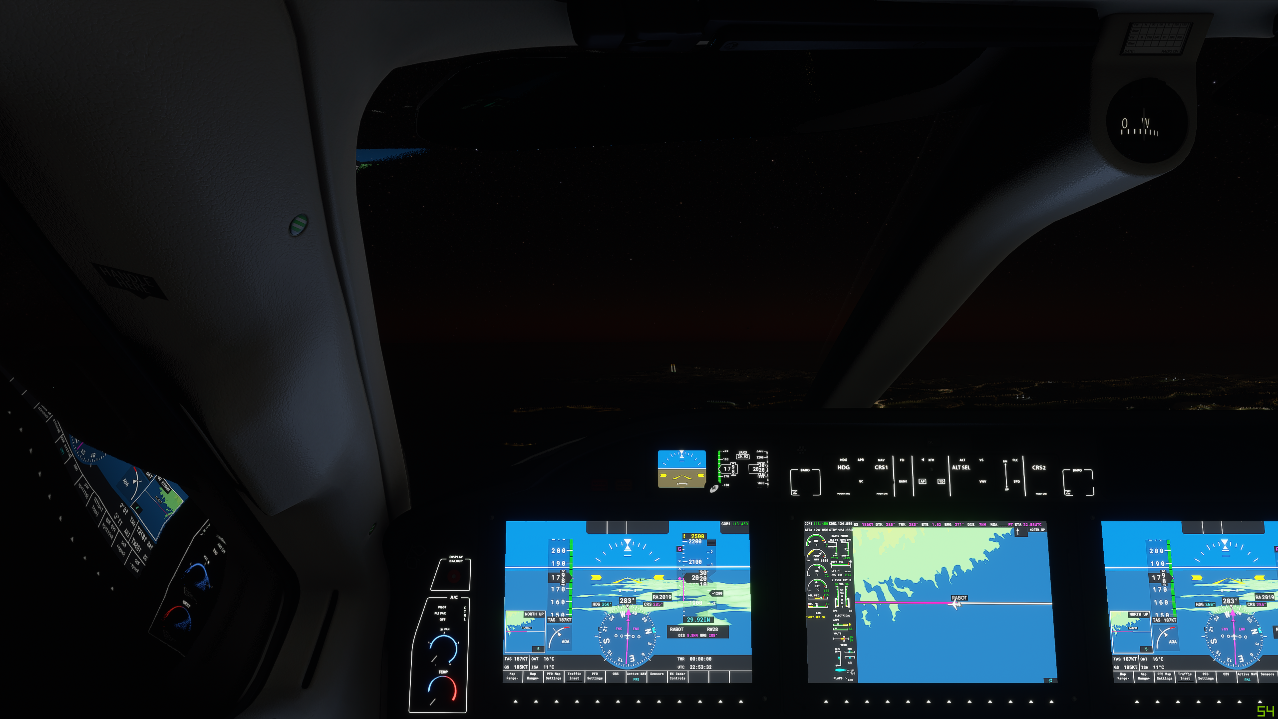
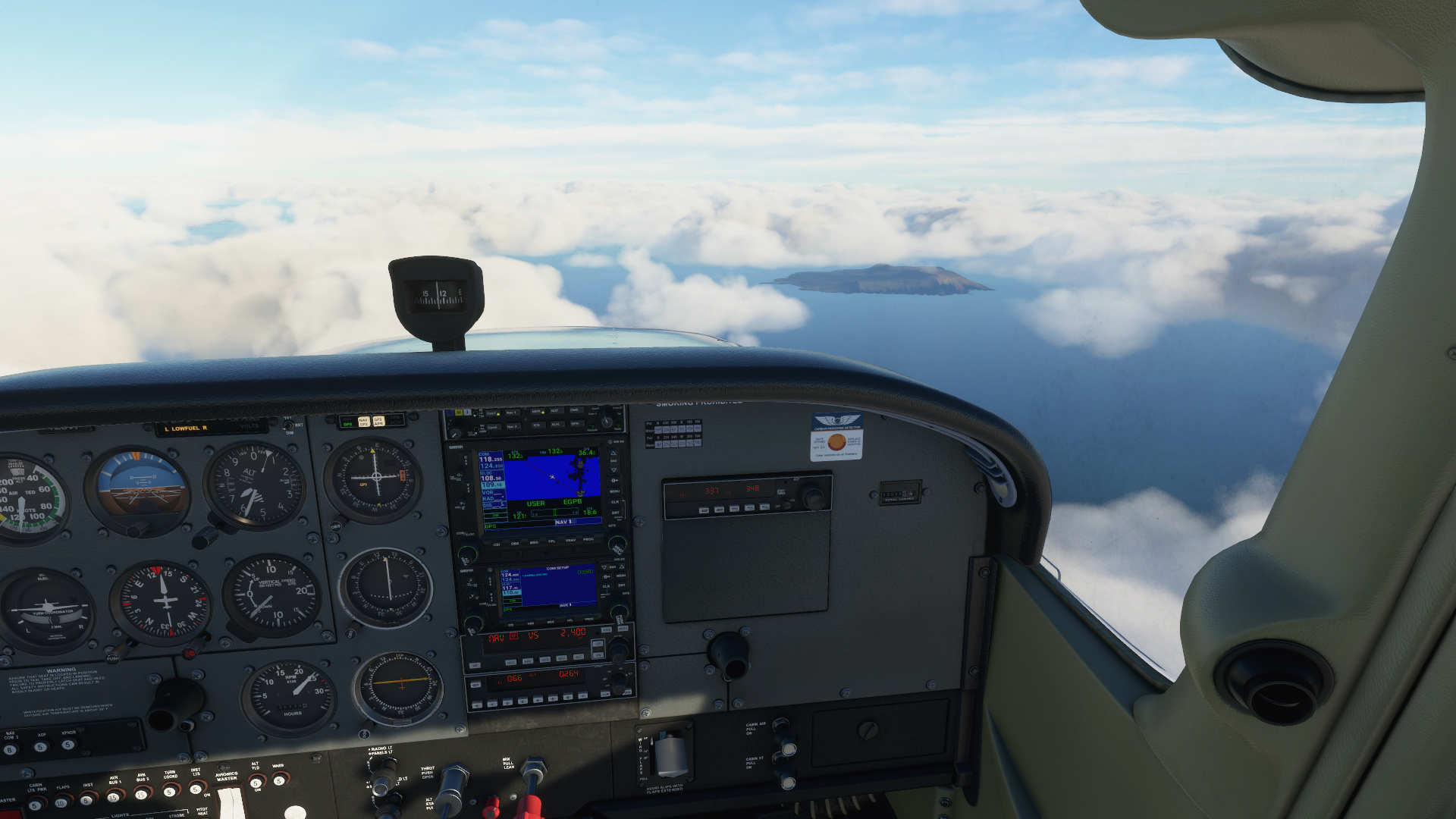
Back over the water, back in contact with Reykjavik Control. My hand off to Scottish Control will come down the road. Fond farewell, fellas:


Lonely Foula Island, but my first official sighting of UK territory. ATIS is reporting good visibility but some strong winds at the destination, however right down the runway.


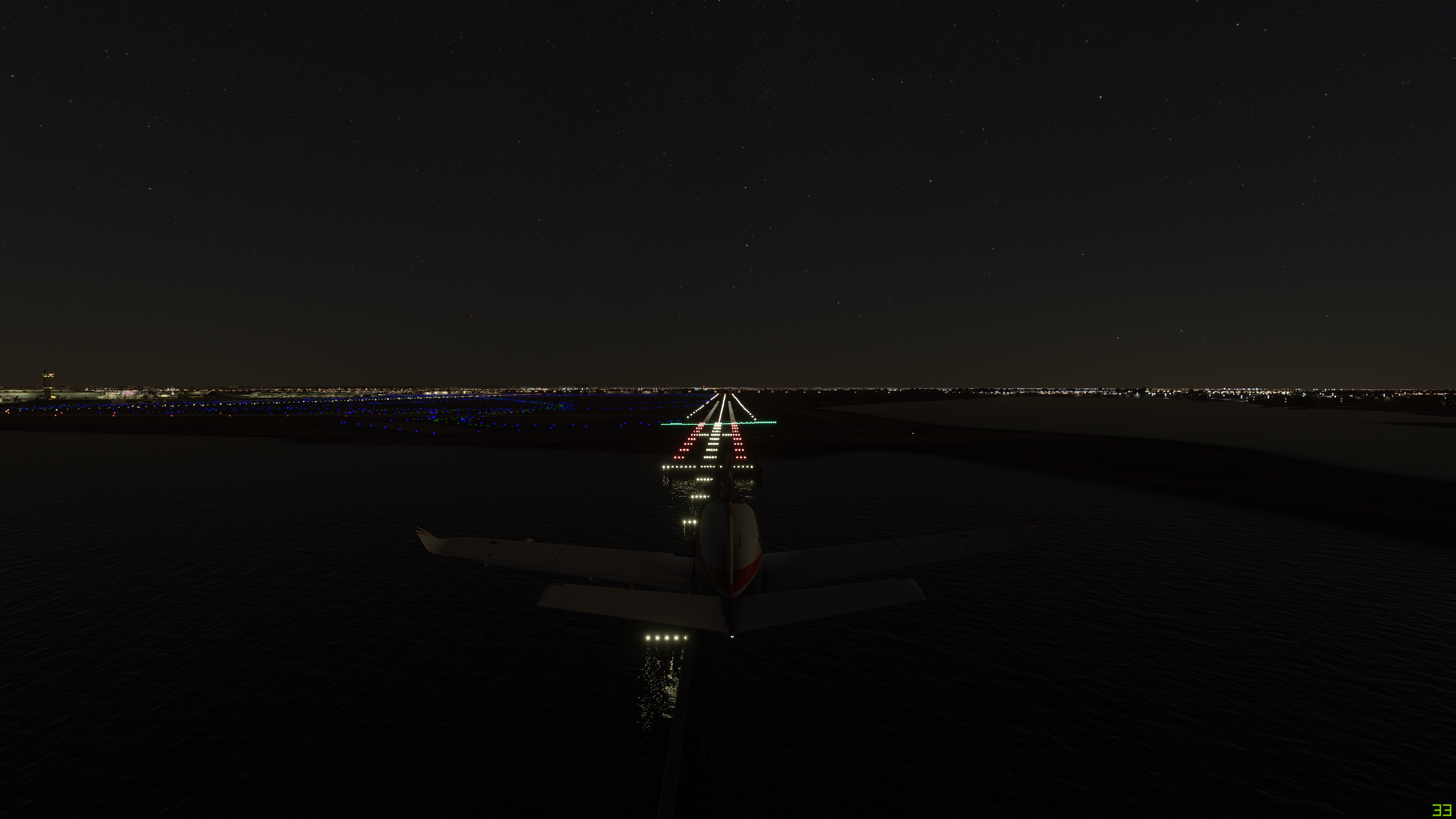
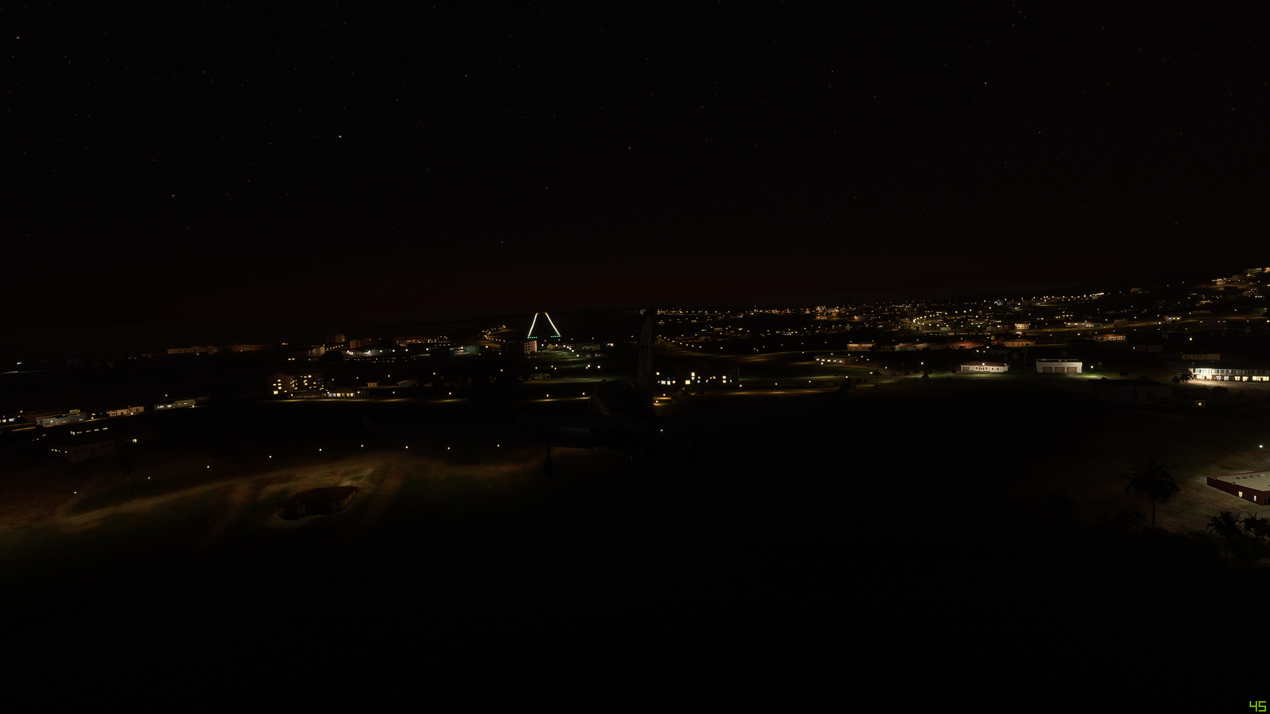
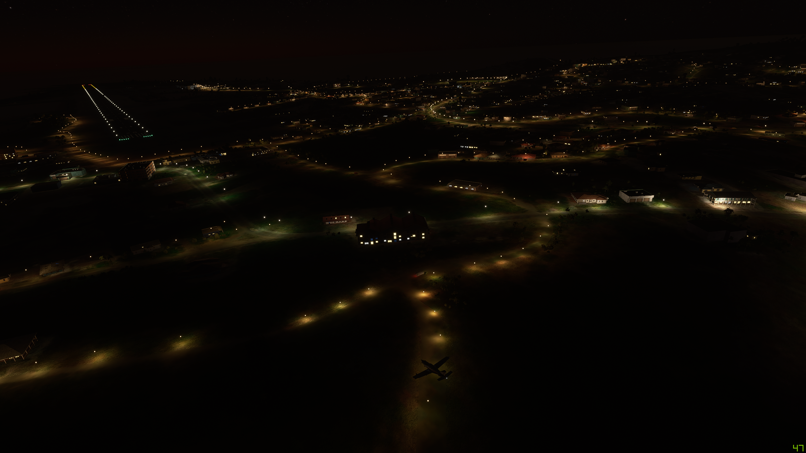
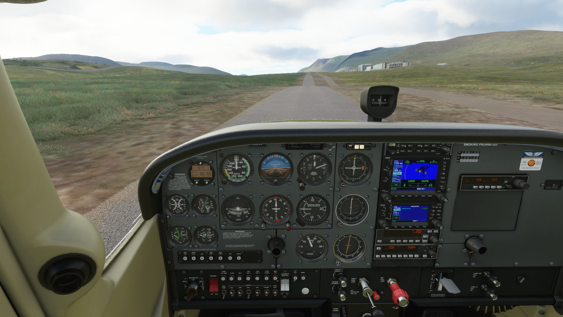
On the final for LOC Rwy 9.


I think the visual approach path indicators may not be working just quite right. This 4 hour, 30 minute trek is almost over. Looking forward to drinking some of that stuff they put in the coffee around these parts :stuck_out_tongue:.


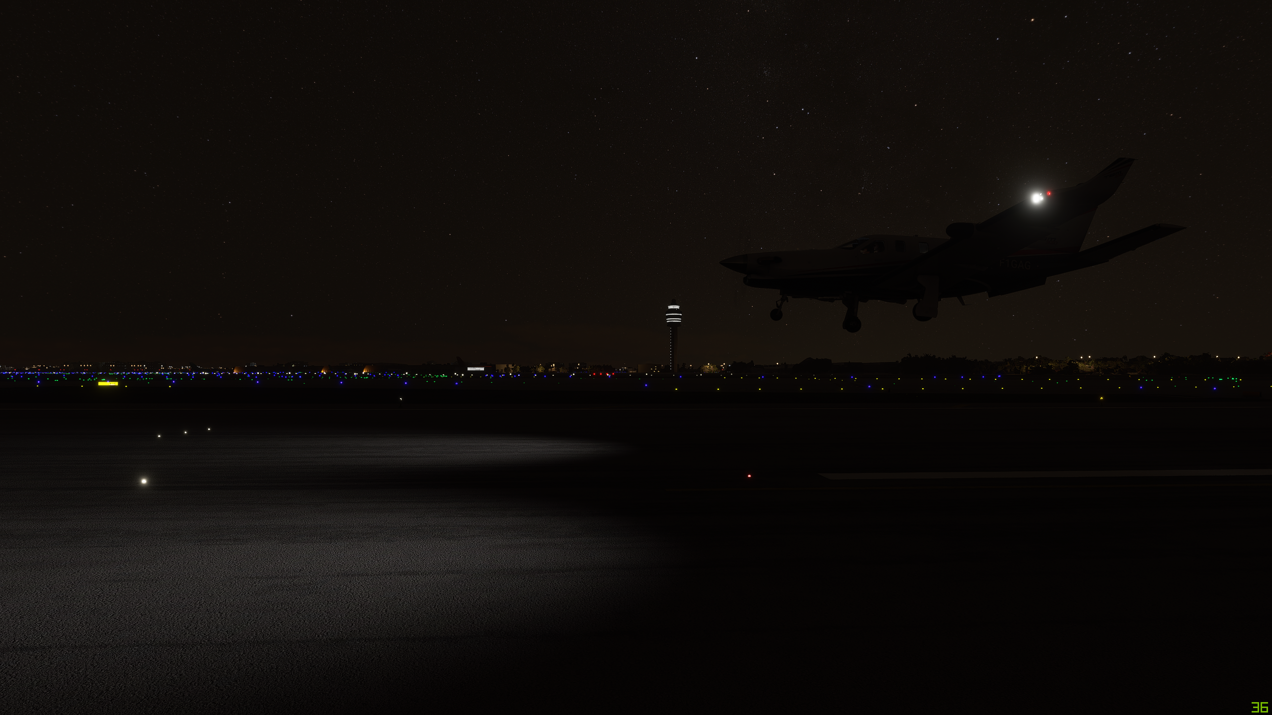
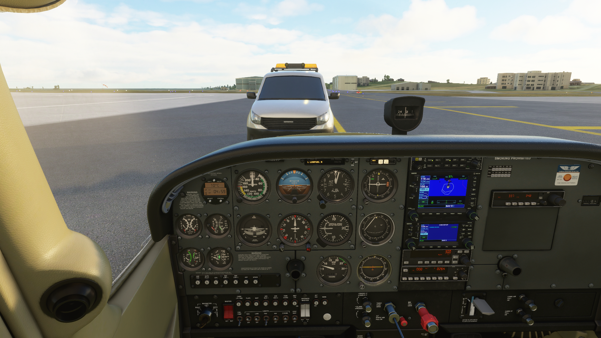
I land. I clear the taxiway. After clearing the entirety of my airplane of the boundary, I stop and contract ground get my taxi instructions. As I am about to move ahead, a vehicle pulls onto the taxi way and moves toward me, slowly. It get’s to my nose, where I cannot move further and stops. Am I being searched, or detained? Questions must be about going to 500’ over the ocean? Or did I correctly put out my campfire way back in Flúðir (BIFL)? Am I an RDR2 bounty for these guys?? :cowboy_hat_face:


“Your not going anywhere, buddy. Stay right there!”


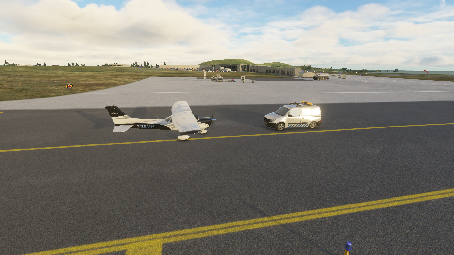
Well a few Brexit jokes later, they let me go. I slewed out of their way, so to speak. Parked. These rampers are always hard at work. They are always on time, everywhere!

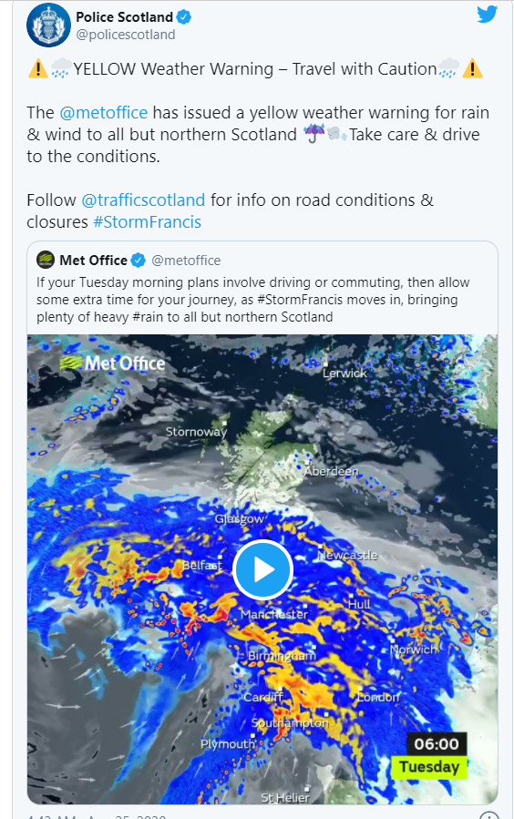
I guess I have to find some accommodation, or a car hire. I am wondering if this will be a couple day stay? Storm Francis is absolutely terrorizing the greater UK right now. I may be Norway bound tomorrow after all.
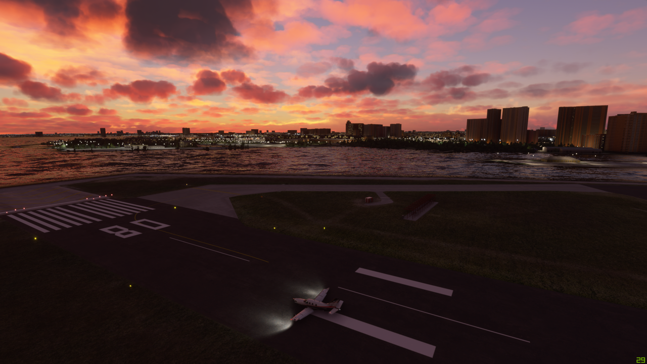
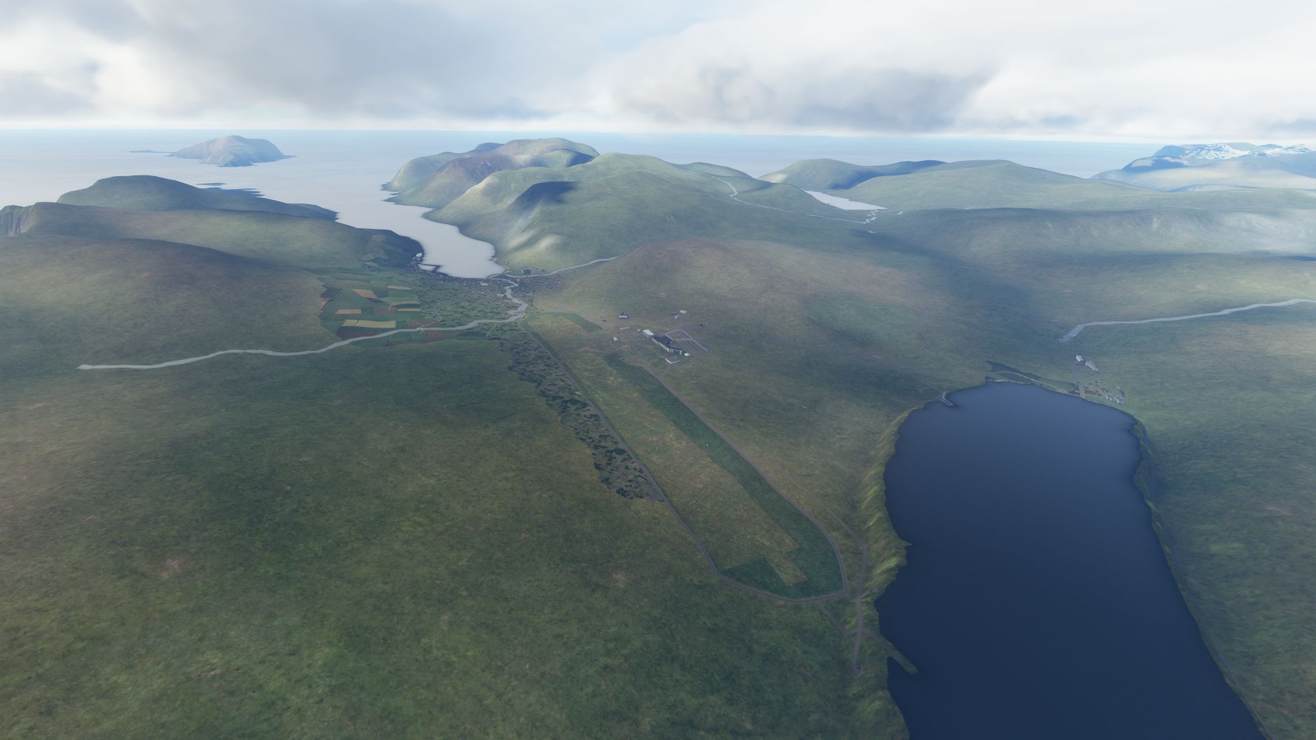
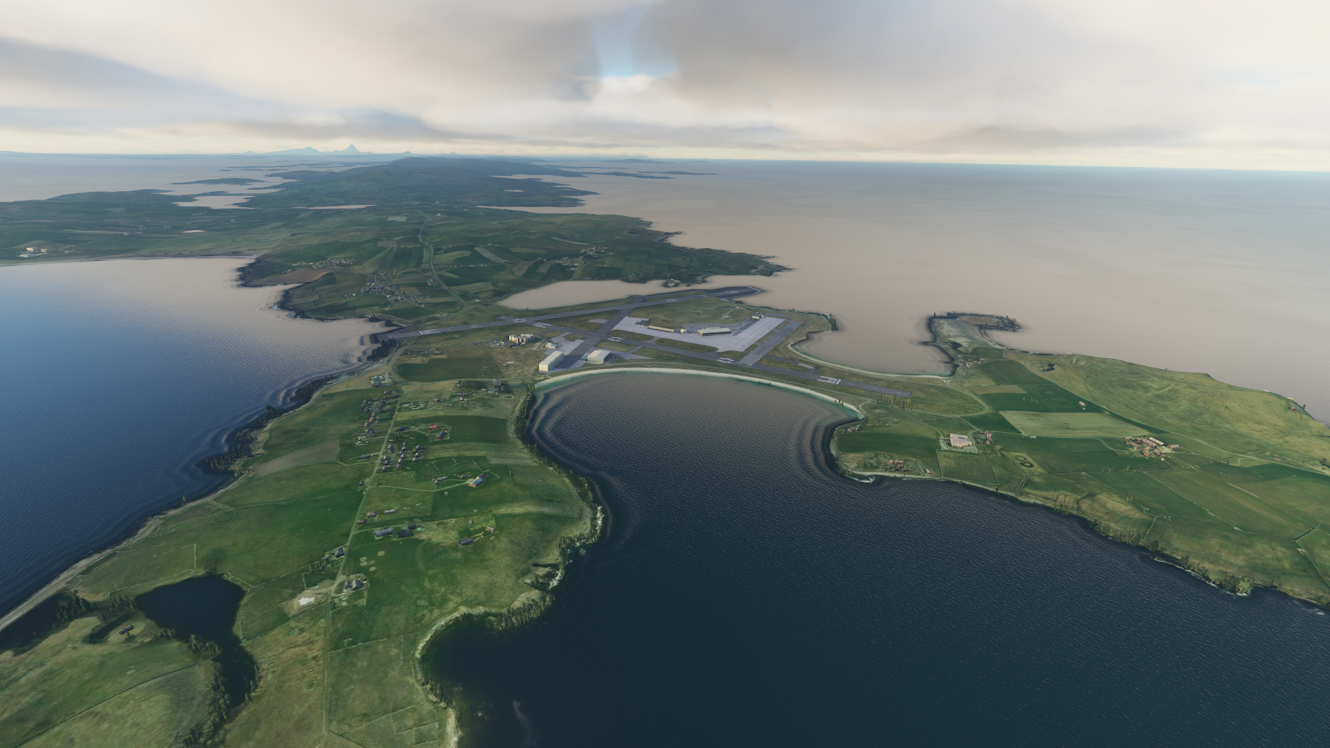

A view from above.
Sumburgh Airport (EGPB), the Shetland Islands, UK.

7 Likes

Nice! Making good progress.

Another great post and pics. I like your story telling - helps to bring it to life. I got some icing the other day on the way over to Greenland, but I discovered (fortunately) that the TBM 930 has de-icing equipment, so didn’t prove to be a problem. Bit scary though while I was trying to find a de-icer button!

1 Like

Would have been a great pit stop! I’m sure it will get added sooner or later - I’ll keep checking and update when it’s on.

1 Like

Leg 5 (continued) - St Johns to Toronto, via Halifax, Quebec, Montreal and Ottowa

A beautiful clear mid afternoon in Halifax, Nova Scotia. Time to get going and head to the big city lights of Toronto, via Quebec, Montreal and Ottowa. Looking forward to looking at something other than trees to be honest :slight_smile: Shouldn’t complain.

But there are a lot…right?

Clouds start to come in a bit lower as I go cross country towards Quebec - past Baxter’s National Park on the lieft - nice pointy hills

At last, my first view of Quebec (photgrammetery according to the world map!)

Let’s cruise around a bit…never been to Quebec, so no idea how accurate this scenery is, but it looks pretty cool to me

Pretty sure I’m breaking a load of flight rules flying this low, but worth letting the locals see my cool plane in close up :grinning:

And now time to head South down the St Lawrence river to Montreal - but I don’t think the twin bridges South of Quebec really look like this

But it’s a beautiful sunny day now as I follow the St Lawrence


And coming up on Montreal now. A bit overcast, but still good weather for buzzing the rooftops :grin:


I think this is Mount Royal Park on the top of the hill

Finish off by buzzing right over the top of Montreal International Airport, whilst ignoring ATC yelling at me over the intercom!

Now to take the right branch of the river down the Ottowa River to Ottowa

Heading West along the Ottowa River towards the late afternoon sun

And approaching Ottowa

And now time to buzz the Ottowa rooftops too!

And the clouds start to come down as the sun starts to set as we leave Ottowa and head off to the big city lights of Toronto

Visibility definitely not improving on the way to Toronto

But suddenly, as we are approaching the shore of Lake Ontario, the skies begin to clear with some fascinating cloud formations - maybe I will get that Toronto City Tour after all this evening


Finally there’s Toronto off the right wing - looking great and with clear skies, it’s time for some sight seeing before landing at Toronto Centre Airport

And starting with the CN Tower of course…oh! Well…it’s turned into the monolith from 2001 A Space Odyssey. That’s interesting.

Probably going to get into more trouble for low flying again


And finally time to land at Toronto Centre (CYTZ). A stunning landing into the sunset.

Phew - that was a long but brilliant trip. Luckily manged to get the brakes on quick at the landing - hadn’t appreciated just how short that runway was in the end.

And finally a drone shot of Toronto in the sunset in all it’s glory

Next stop Detroit and Chicago.

4 Likes

Leg 6 - Toronto, Canada (CYTZ Toronto/City Centre) to Chicago, USA (KORD Chicago-O’Hare International)


This leg: 476Nm, 2:08 flying time
Total so far: 5,927Nm, 22:18 flying time

Leg 6 of my marathon journey takes us into the United Staes of America for the first time. Having spent many days in Canada over rugged polar scenery, it’s time to travel to more temperate climes and the big industrial cities around the Great Lakes - Detroit and Chicago. A relatively short distance from Toronto, but much to see.

The plan is to cross Lake Ontario to have a close look at the Niagara Falls before heading West and South over Hamilton and London and then paying a visit to the Chrysler Headquarters just North of Detroit. You’ll see I’m targeting the special scenery areas.

Detroit itself is next on the list, before heading West again to Ann Arbor, South to Toledo and then West again to Chicago via South Bend and Michigan City. Aiming to Land at Chicago-O’Hare International - and should probably make sure I follow ATC instructions given how busy that will be.

First things first though. headed over to Toronto Centre Airport. As I climbed into the plane in the early dawn, I took a last look at Toronto. What??? What is this wizardry? The CN Tower has changed from the black obelisk of yesterday to a tall elegant needle pointing skyward. It is almost as if some God had realised he hadn’t switched on Photogrammetry yesterday, but surely no one could be that stupid??? Wow, Toronto looks like a different place. Presumably also do Quebec, Ottowa and Montreal. Ah well, but we are not going back to fly that leg again to see - it is onwards for us.

But first, we need to do a bit more sight seeing around Toronto before heading South across Lake Ontario. It does look good in the early morning light.


Across Lake Ontario, I dive down to follow the Niagara River, past the hydro electric facilities and down just on top of the river itself towards the horseshoe falls


Over and around the Falls themseleves


And now off to Hamilton for some sight seeing before heading further West


On to London (Canada) next


These photogrammetry areas look really good now they are switched on! And here’s the Chrysler Headquarters and Technology Centre. Time to head South to Detroit

And here is Detroit in the mid morning sunshine


The onward to Ann Arbor and Toledo on the shore of Lake Erie


And now the longish trek to the West towards Chicago

Via South Bend

and then via Michigin City on the shores of Lake Michigan of course, with a great view of the power station right on the edge of the Lake


Then, dead ahead across the Lake is our destinatino for the day - Chicago

What a view of the city from the Lake as we circle around it


And finally then onto Chicago-O’Hare airport - fortunately ATC guide me in to runway 27R - about as far to the side of the airport as you can get - but I still followed in a big jetliner of some description. Nervous much?


How good was that day’s flying??

Next - off to the East Coast and the Big Apple!

4 Likes

Leg 7 - Chicago, USA (KORD, Chicago-O’Hare International) to New York, USA (KJFK Kennedy International)


This leg: 832Nm, 3:06 flying time
Total so far: 6,759Nm, 25:24 flying time

So my plan for today is a reasonably straightforward hop East from Chiacgo to New York before heading South down the East Coast. I’m thinking of heading all the way down, through the Gulf of Mexico, Central America and the East coast of South America, looping around the Southrn tip of Argentina and then back up the West Coast, back all the way up to Alaska. But I think I need to fit in Antartica when I’m down there.

Anyway, that’s all for much later. Here’s the journey so far, with today’s route planned in:

Today the itinerary is:
Chicago > Kankakee > Fort Wayne > Dayton > Cincinnati > Pittsburgh > Harrisburg > JFK (with a bit of a fly around New York)

Leaving Chicago mid afternoon thinking to get to New York early evening or so. Here we are on the runway - some lowish looking dark clouds about. Never mind, lets press on regardless.

Kankakee - seems like a small place, but nice with the photogrammetry. It’s REALLY flat around here.


Fort Wayne looks really nice too - nestled in the trees

Still flat as a pancake around here though. On to Dayton…still flat, although weather seems to have closed in a bit!
[


Clouds are definitely becoming a bit of a problem as we head to Cincinnati

Still flat though, so I decide to come down to about 1,000ft approaching Cincinnati to see if I can get under the clouds a bit - short answer - not really.

Here’s Cincinnati through the gloom and thick low cloud

Happily the fog and low cloud has cleared by the time we get to Pittsburgh, although the cloud ceiling is still pretty low. Nice view of the city and the Steelers Stadium (I assume!)

Heading for some hills now on the way to Harrisburg - it’s the Laurel Ridge State Park

Fortunately, the skies clear as we cross over the hills, and there are nearly as many trees here as in Canda I think. Trees as far as the eye can see

The sun is starting to set as we approach Harrisburg and the Susquehanna River. There is a lovely little windy tributary that runs through the city too

A great view of Pennsylvania State Capitol Complex in the centre of Harrisburg

A beautiful view of the sunset as we continue East towards New York

And then, another “wow” moment. As we near New York, the setting sun catches the rising moon for the most glorious and spectacular moonrise you’re ever likely to see

On to the Big Apple and the bright lights - spectacular with the orange glow of the moon

And finally a nice approach in to JKF over the water and the wildlife reserve

3 Likes

Leg 8 - New York, USA (KJFK Kennedy International to Richmond, USA (KFCI Chesterfield County)


This leg: 775Nm, 3:15 flying time
Total so far: 7,534Nm, 28:39 flying time

Today’s leg is relatively short, but lots to see. Starting in New York, we’ll repeat the fly around yesterday, but in daylight this time. We’ll then head North first, flying over:

  • Stamford
  • Bridgeport
  • Springfield
  • Concord
  • Portland

And then turning back South down the coast, passing over:

  • Boston
  • Providence
  • Philadelphia
  • Baltimore
  • Washington

and finally on to Richmond.

Here’s the map view:

Nice morning at JFK Airport, as we take off and cruise around the city

Now to have some fun in the tall buildings

And I’m sure there are laws against this sort of thing

Time to head North before we get into any more trouble!

First place we come to is Stamford

And then on to Bridgeport

It’s turned into a lovely day as we head inland

Springfield looks lovely in the sunshine

On North to Concord now

And finally Portland, before we make our 180 degree turn to head South

Amazing views down the East Coast, past Dover

Some great views of downtown Boston as we zip overhead at 1,000ft

Passing Providence as we head further South

The view over Long Island towards New York as we complete our Northern loop and head towards Philadelphia, Washinton and Richmond


Back over land and heading South West and onwards to Philadelphia

Baltimore and Washington - hopefully no fighter jets to ■■■■■■ me as I brush the rooftops! Altough maybe that would be cool!

And finally the approach and landing into Richmond

1 Like

By accident. Sorry.

2 Likes

Leg 9 - Richmond, USA (KFCI Chesterfield County) to Miami, USA (KMIA Miami International)


This leg: 827Nm, 3:20 flying time
Total so far: 8,361Nm, 31:59 flying time

Time for a longish haul down the Florida Coast to Key West today. The plan is to sight see on the way via Norfolk, Charleston, Sea Island, Daytona Beach, Palm Beach and Miami

Nice views over Norflok - little bit of a cloudy day. We’re going mid afternoon, thinking to maybe catch the sunset down in Florida.

Heading for Charleston, we pass over Cherry Point Airfield on the Carolina Coast

Myrtle Beach - great golfing around here!

And we pass Charleston on our left hand side, heading South to Sea Island


I’m going to show my age now. Anyone remember this?
image

I remember playing this in the early 2000s. And here I am flying over Sea Island in a flight simulator…

The sun is starting to go down as we pass by Jacksonville

And as we reach Daytona Beach, you can just see the International Raceway in the foreground

By the time we reach Palm Beach, it’s properly dark


Given how dark it is, I decide to land at Miami International rather than carry on to Key West. I fancy seeing Key West in the dawn, and so decide to use ILS Runway 08L to land at Miami.

But first we get a little tour of the bright lights of the city

I decided to let the AutoPilot have a go at the ILS landing! To be fair, he nailed it right on the centre line. Way to go Otto.

And impressive taxi lights at Miami International

So that’s me off for an early night so I can be up at the crack of dawn to head down to Key West, and then on to the Caribbean Islands

And so here’s the progress so far:

1 Like

Leg 10 - Miami, USA (KMIA Miami International) to Kingston, Jamaica (MKJP, Norman Manley International)


This leg: 1,324Nm, 5:02 flying time
Total so far: 9,685Nm, 37:01 flying time

Early morning start to catch the sun rising over Miami. And what a beautiful sight it is


Some lovely views of the Florida Keys as we fly down and then over Key West before turning South towards Cuba and the capital city of Havana

Here’s our first view of Cuba and Havana in particular

Heading Easterly now, down the centre of Cuba - it’s much flatter than I expected, with the fields sweeping into the distance

We turn North in the middle of Cuba at Maximo Gomez Airport and head towards the Bahamas

Some lovely views of the Bahamas

And then Nassau, just slightly further North

Turning South East now towards Turks and Caicos Islands, passing over several tiny and remote Caribbean Islands


After a bit of a trek over the beautiful blue sea, we come to the Turks and Caicos Islands, and more spectacular views


And onwards over the Eastern end of Cuba, heading onwards to Jamaica. Bit cloudier here, and looking more typical tropical rainforest

And this end of Cuba is quite a lot hillier than the West side

Weather not looking so great as we approach Jamaica

Scary view as we climb out of the clouds as we cross Jamaica - hadn’t appreciated the mountains here were quite as high! Climbing!

We can glimpse Jamaica through the low clouds

The clouds clear on our approach into Norman Manley International - a really interesting airport, basically a rectangle of concrete build in the sea. Nice approach and landing here

For our next leg, we need to decide if we go South, through the Caribbean to South America, or head North West and back to the USA and follow the Gulf Coast around to Mexico. Maybe we’ll do both?

1 Like

Here’s the progress map so far:

1 Like

Leg 11 - Kingston, Jamaica (MKJP Norman Manley International) to St Georges, Greneda (TGPY Point Salines International)


This leg: 1,368Nm, 5:25 flying time
Total so far: 11,053Nm, 42:26 flying time

So today we are going to head East and circle around and over a series of famous Caribbean Islands. First over Dominican Republic, then on to Anguilla and St Barthelemy Island. We are going to land this time at both St Barthelemy and (just before that) the tiny Saba/Juancho E Yrausquin airport. We’ll then head South over Guadeloupe, Dominica, Martinique, St Lucia, St Vincent and the Grenadines before finally landing in Grenada.

Should be fun. Hope the weather is good so I can make the most of those Caribbean Islands. Oh dear, it’s overcast and raining in Jamaica. But there are some signs of blue sky, so you never know - it might brighten up.

We have a quick fly over of Kingston Jamaica before heading off to the east.

Looks like the sun may be burning off the low cloud as we leave Jamaica


As we reach the Dominican Republic, the sun is fully out - but we are now up above the clouds because my chart says there are lots of hills here and we need to be about 7,500ft to stay safe.

Majestic beauty in these clouds


p

As we cross over the mountains in the Dominican Republic, the odd break in the clouds reveals some spectacular views


Now we leave the Dominican Republic as we fly over Punta Cana


Onwards now to Puerto Rico

And now on to our first landing of the day - the famous Saba.

Amazing approach

Down! And hard on the brakes - and stopped - just in time with only a few feet to spare! Wow!

Now to hop over to St Barthelemy Island. Man, this runway is short!


I think I fell off the runway rather than took off - the plane is definitely below the runway height here!

But we successfully climb to safety

Now we head North East towards St Barthelemy

No visual on the runway yet! Might have to go over and turn around and come back to it

Ah there it is! Bit late to spot that though!

Going around!

Ok, I can see the runway this time, but I’m a bit high I think!

Brushing the trees on the way down

Well…obviously came in a little hot,and after a couple of bounces and despite ramming on the brakes, I trundle off the end of the runway onto the beach!

OK, so let’s not say too much more about that. Little bit of dodgy taxiing over the beach and we are back on the runway ready to take off again. Nothing to see here!

After a bit of a rest to calm down, it’s time to attempt the take off into the hill. No idea if this is going to be possible, but we’ll give it a go! Taxiied back to the very end of the runway, fired up full power on the end of the runway then let off the parking brake…

I think the wheels brushed the hill on the way up, but we seem to be OK!

Now off South towards Greneda - maybe with a quick detour to the Barbados

First waypoint is St Kitts & Nevis and Basseterre

Now a bit more Easterly to Barbuda - very flat compared to St Kitts

Antigua is next


Guadeloupe - and we fly over Pointe-a-Pitre

Dominica - much more rugged and mountainous


Martinique - stunning

St Lucia - non stop amazing scenery

St Vincent and the Grenadines

Barbados - the sun beginning to set for a spectacular sunset over the island

And finally our approach and landing into Greneda

Really enjoyed that. Some stunning scenery

3 Likes

I’ve only just discovered this thread. Great stuff, Gordon. I look forward to more!

1 Like

This is my idea too, eventually. I’m gonna wait longer though until bugs are pretty well ironed out before I take this on, especially weather and ATC.

And FPL and Flight Save/Load also :slight_smile:

Crucial I agree!

Flight save load works OK…mostly. I’ve posted elsewhere on the issues I’ve found:

I save 2 or 3 times in succession and usually one of them works when I reload!