Leg 22: Ankara (LTAC), Turkey to Bucaresti (LRBS), Romania
Summary
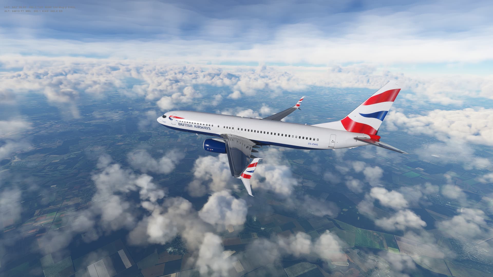
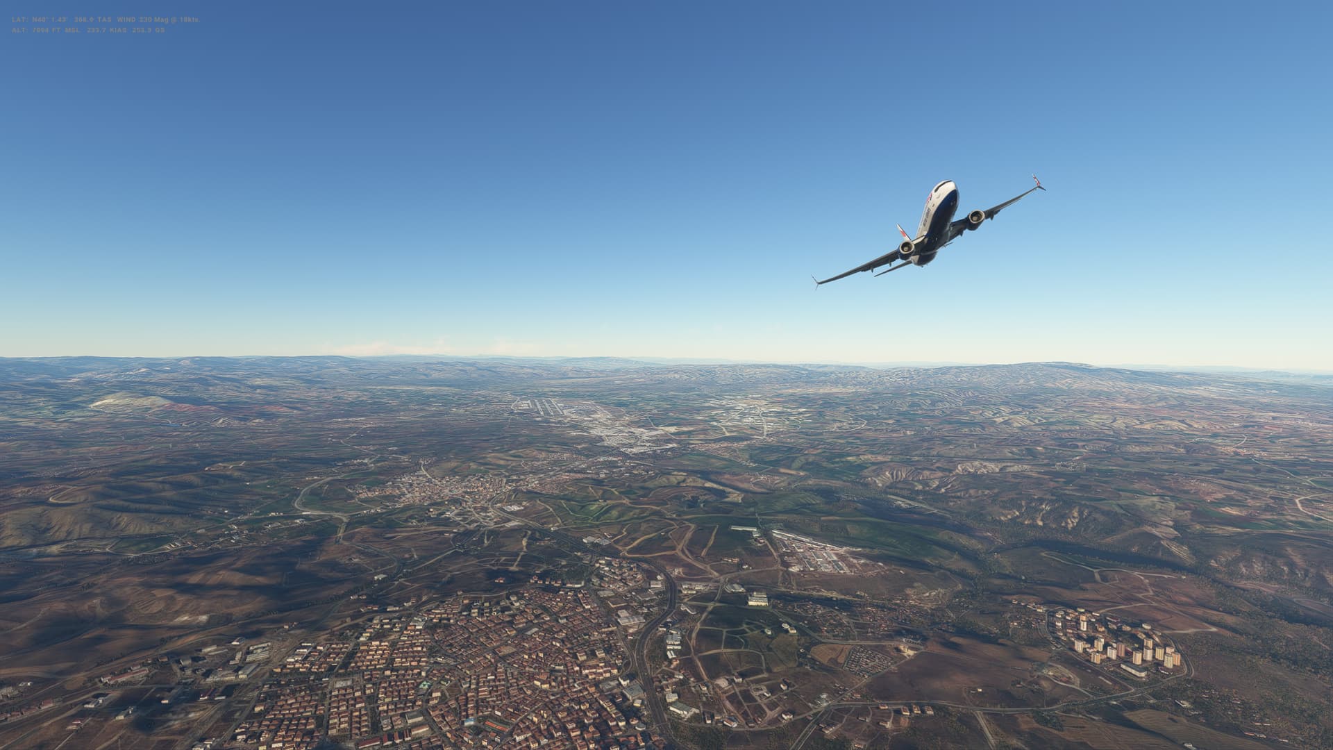
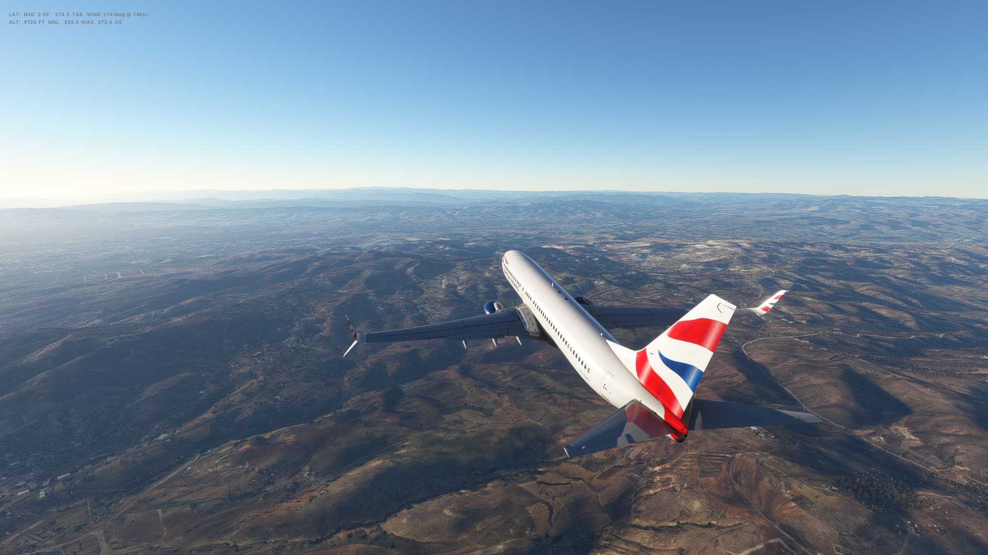
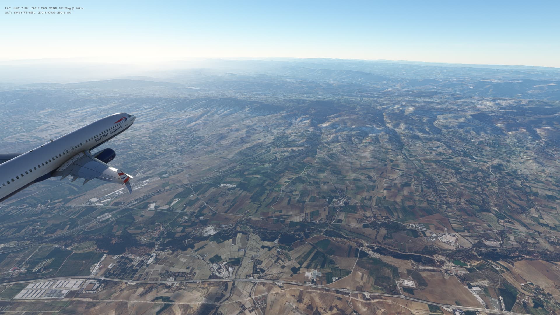
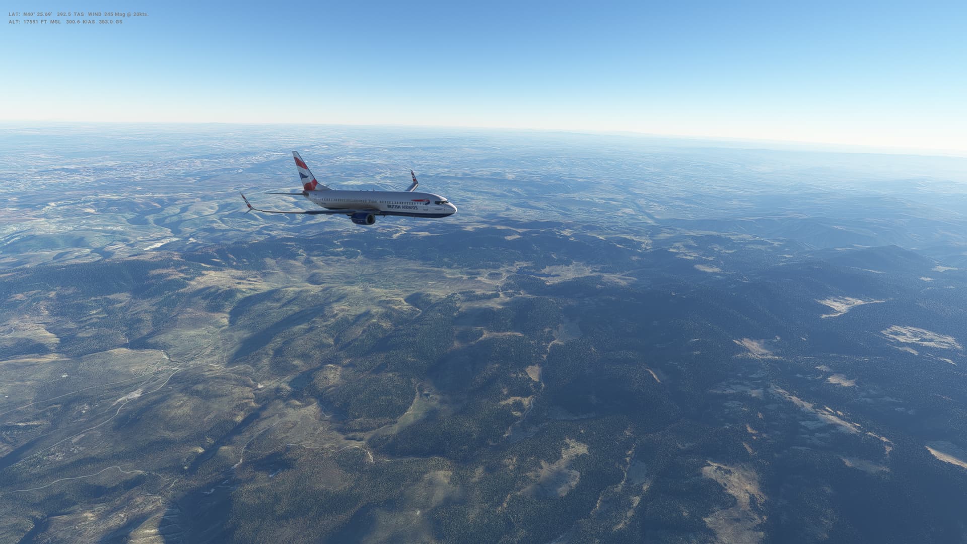
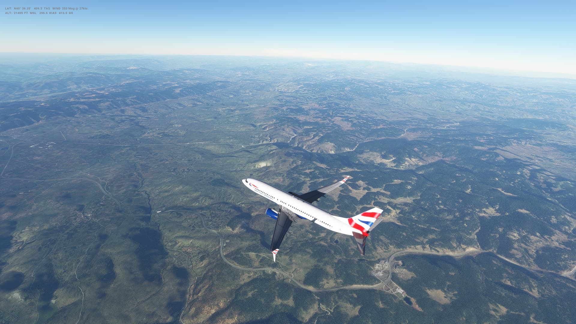
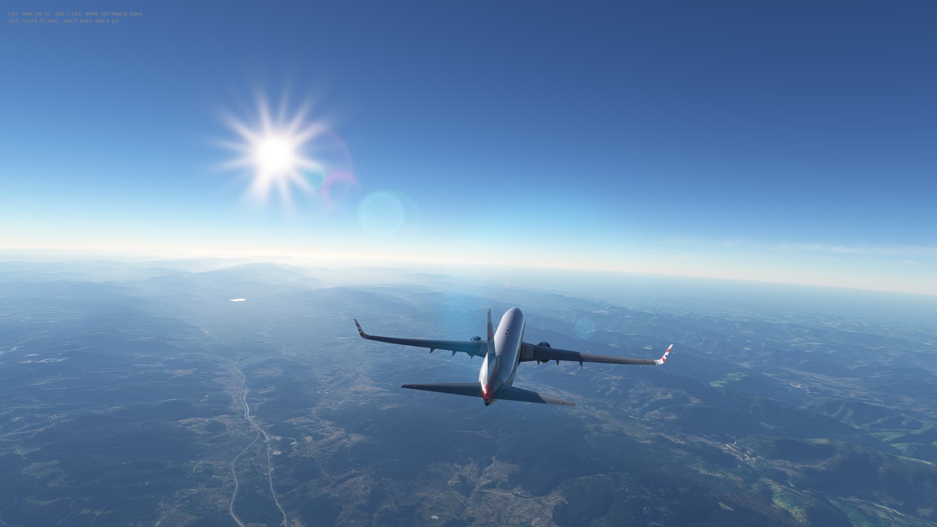
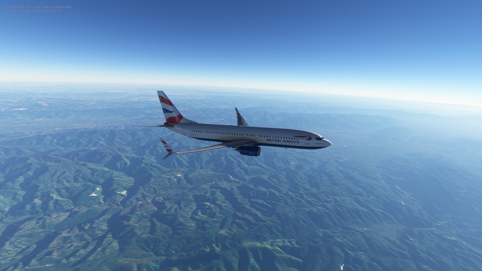
Our next leg takes us North from Turkey into Eastern Europe and Romania. 400 or so miles this one, across the Black Sea and Bulgaria to Bucharest (or Bucuresti) in Southern Romania.
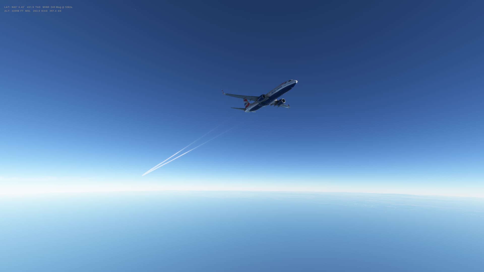
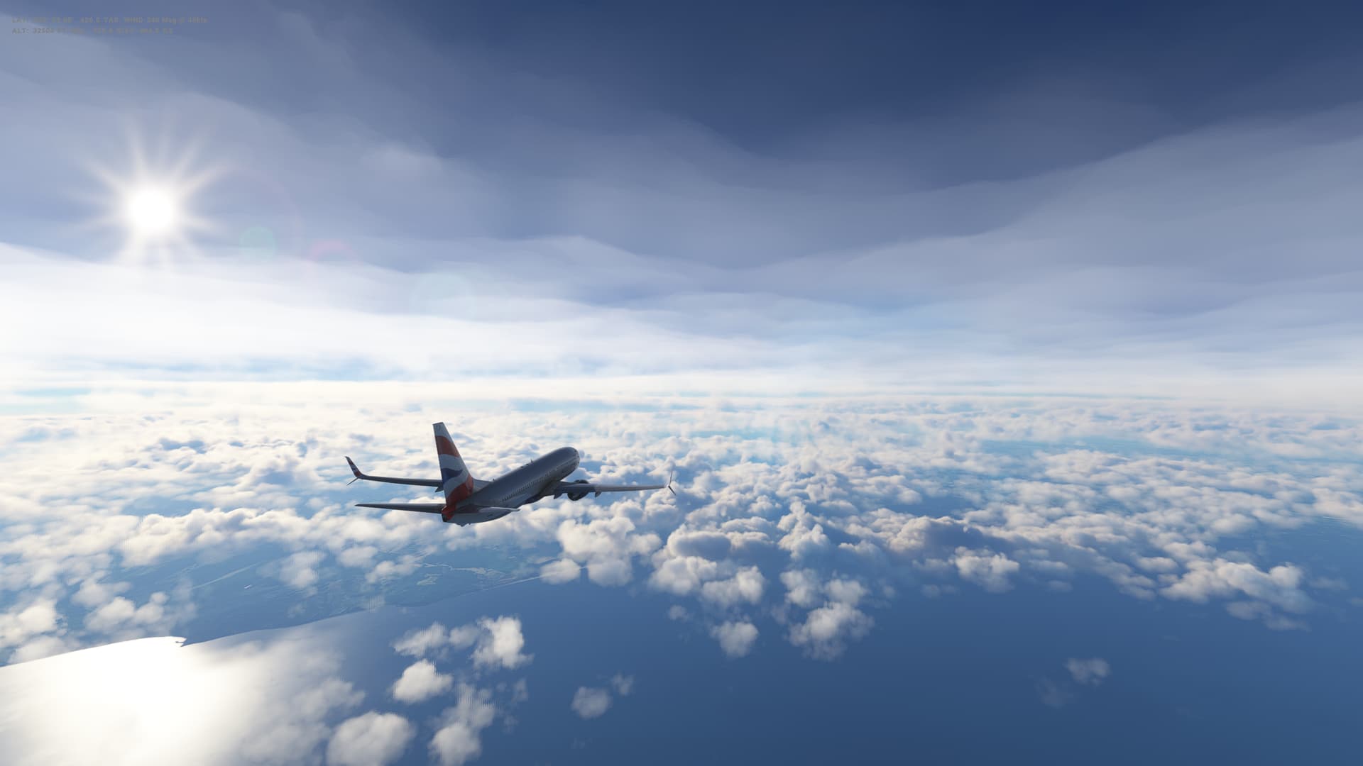
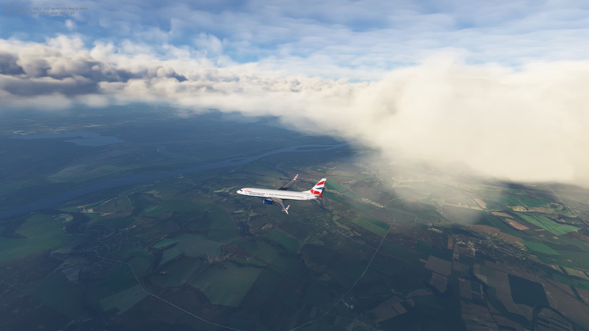
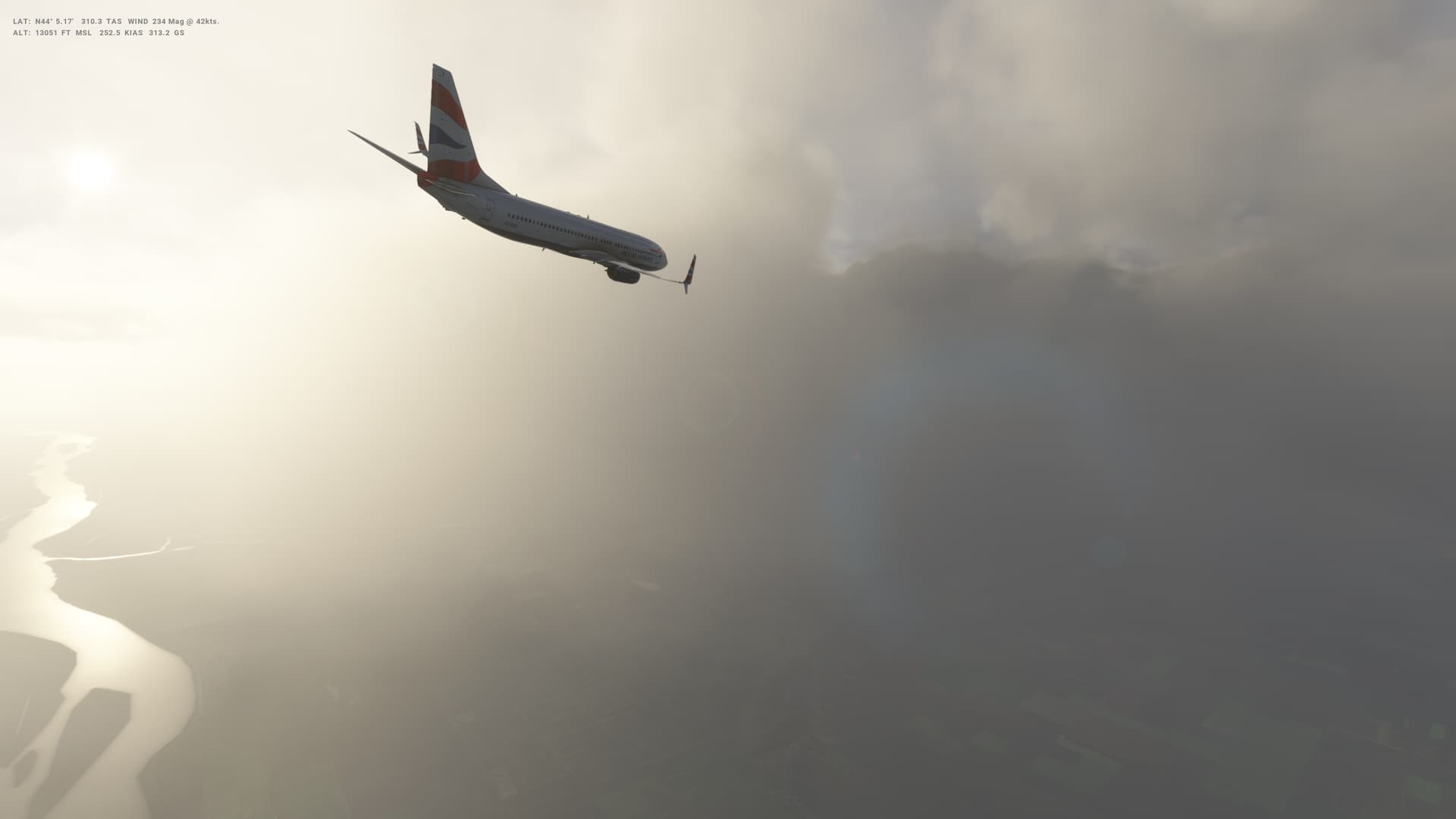
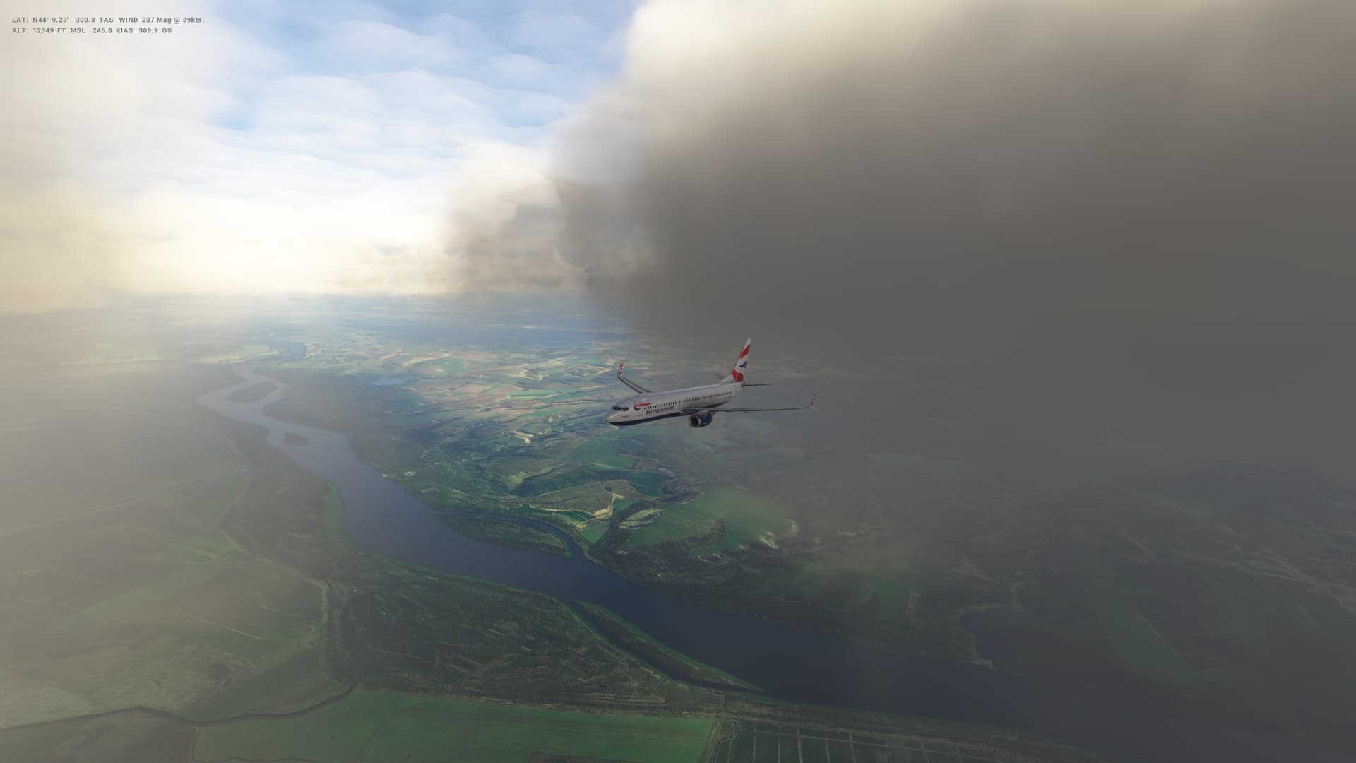
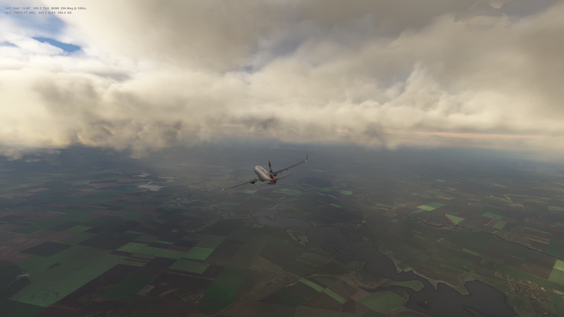
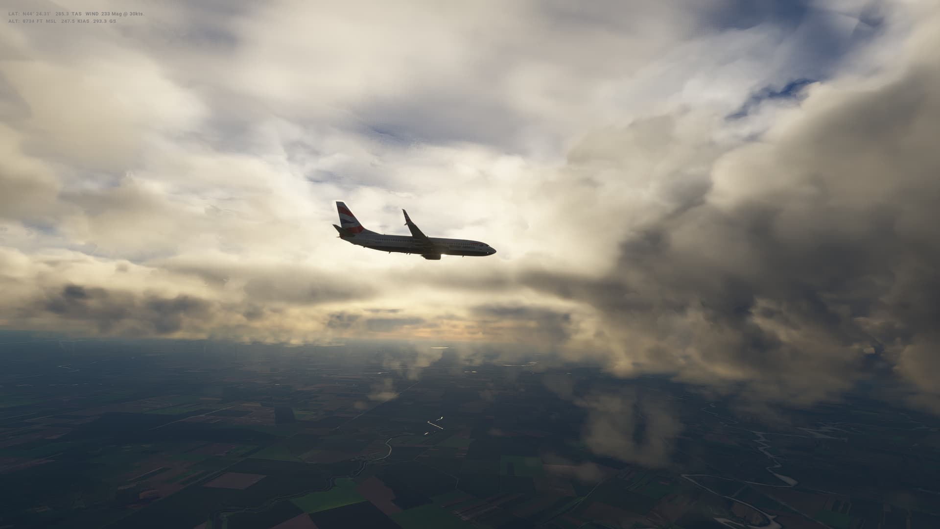
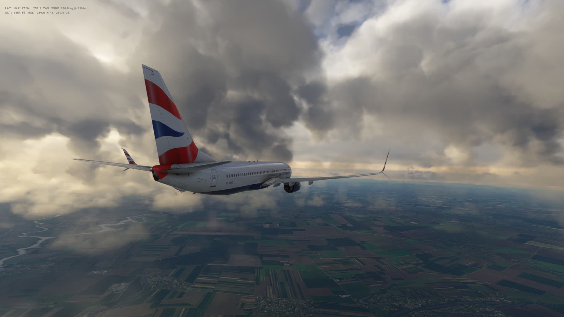
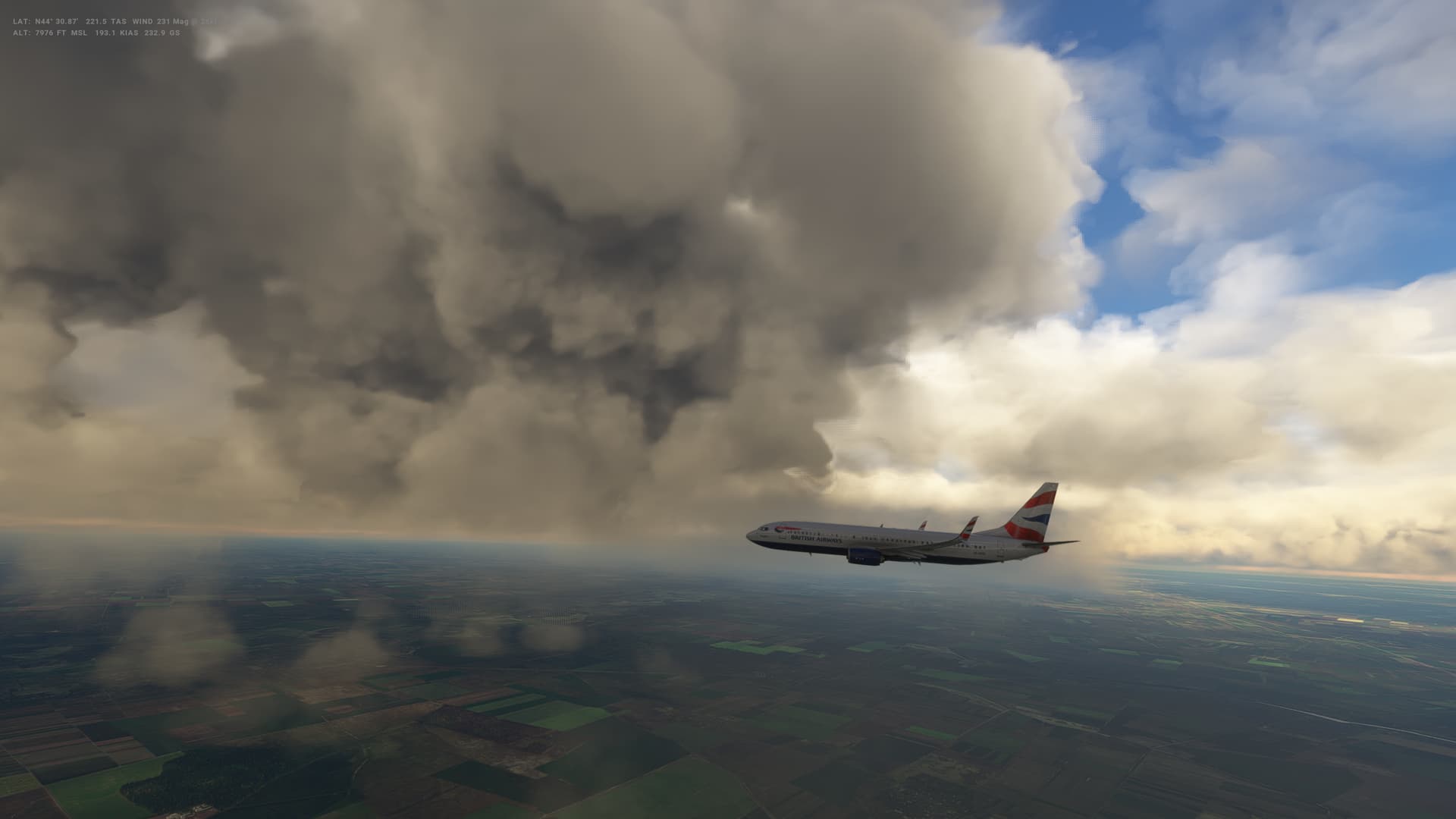
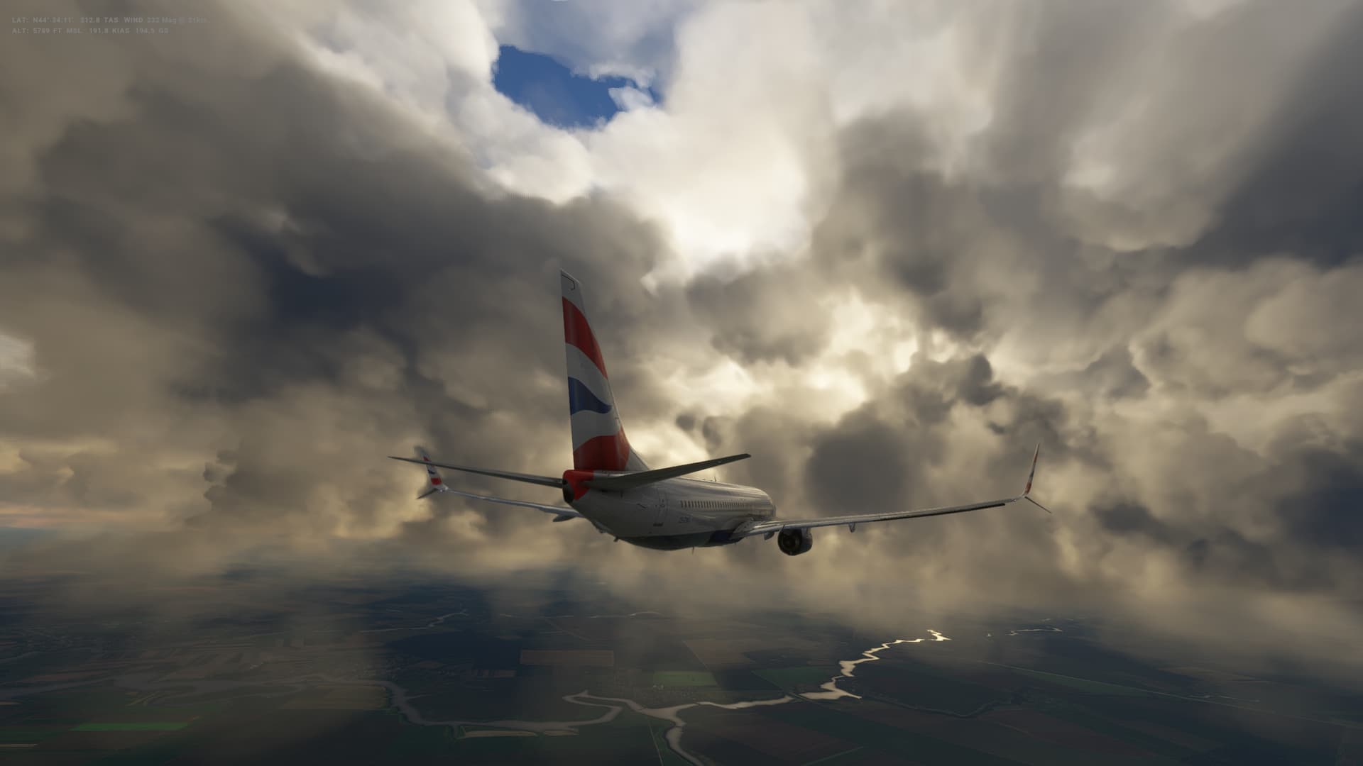
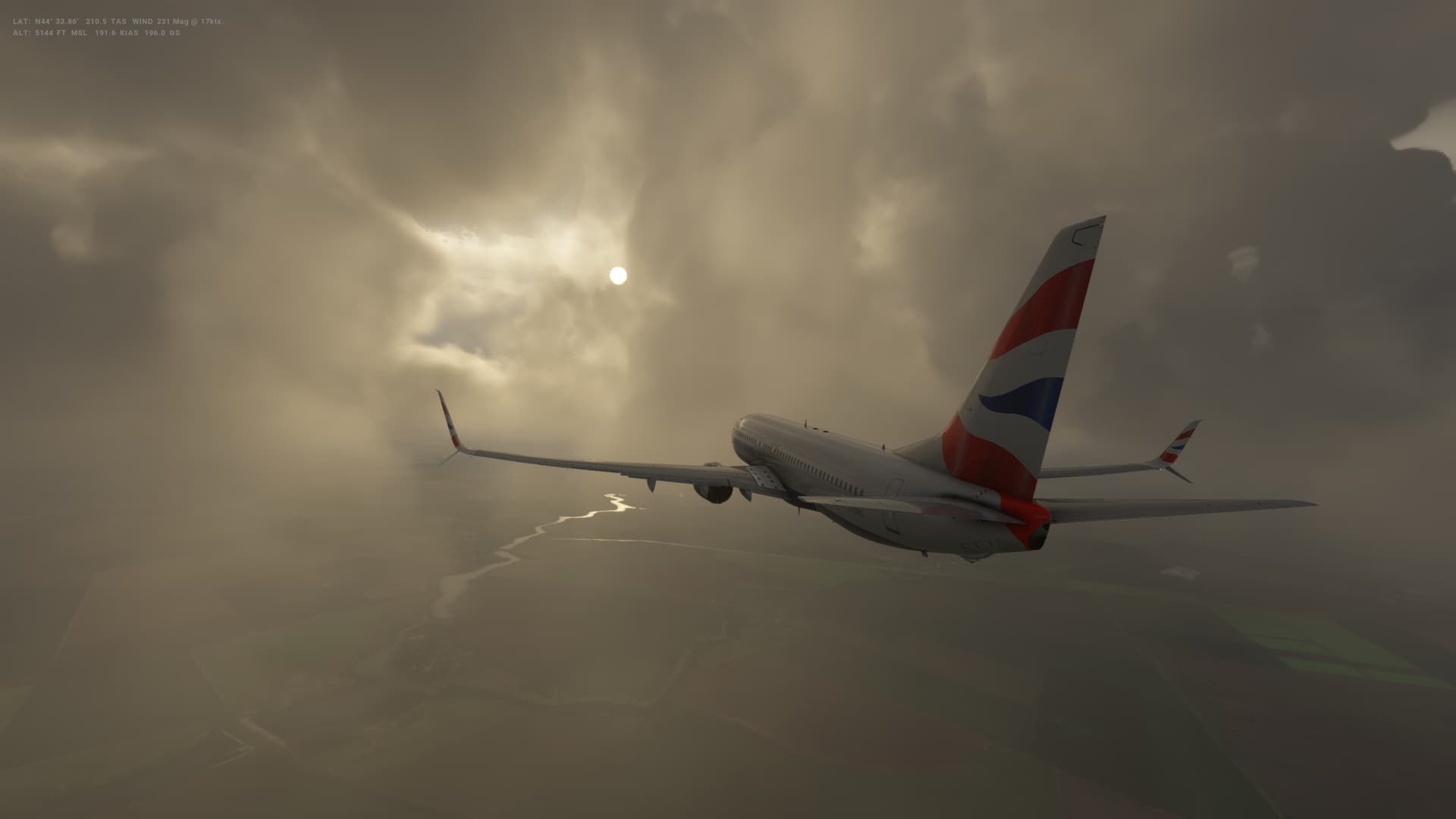
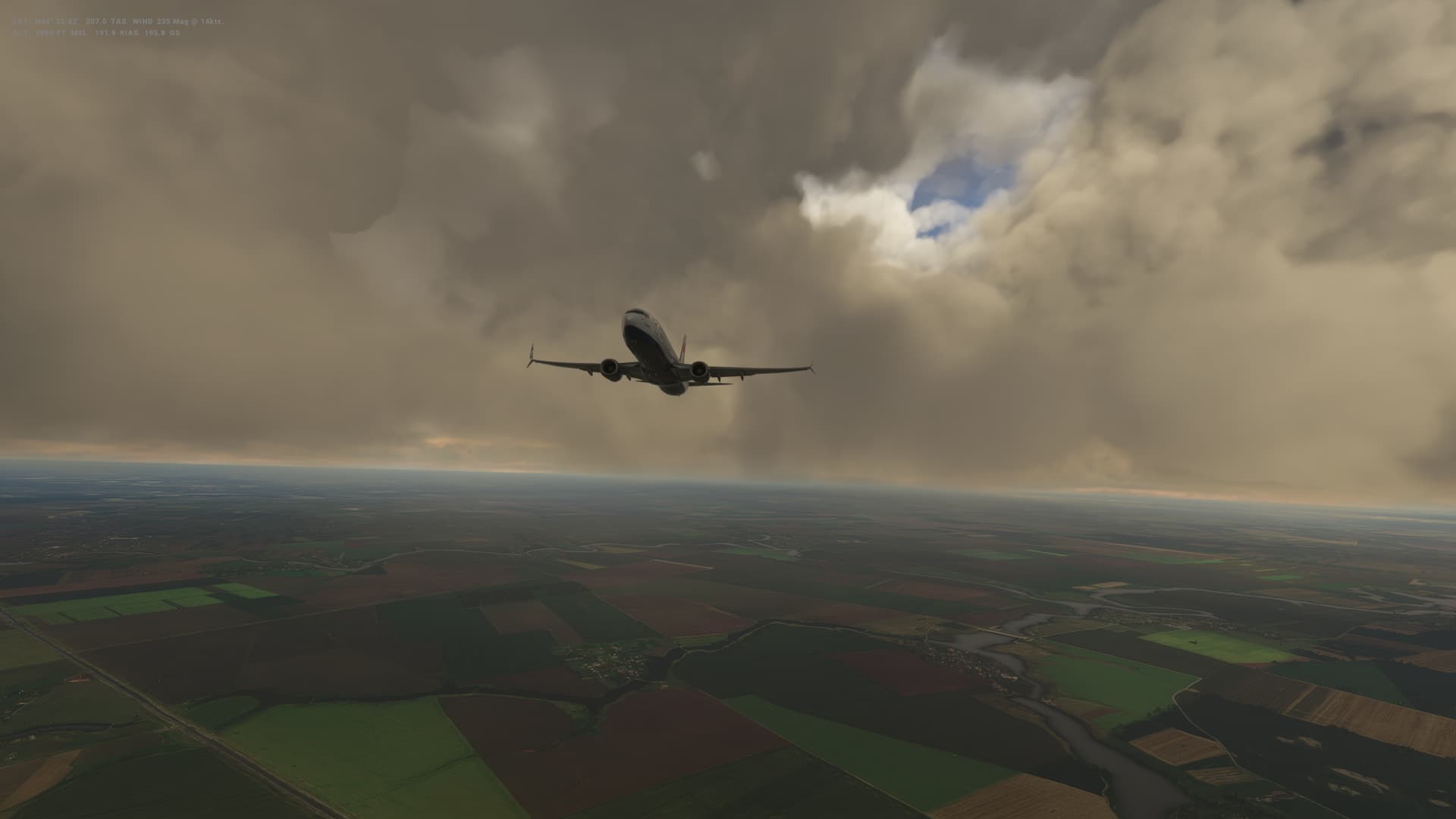
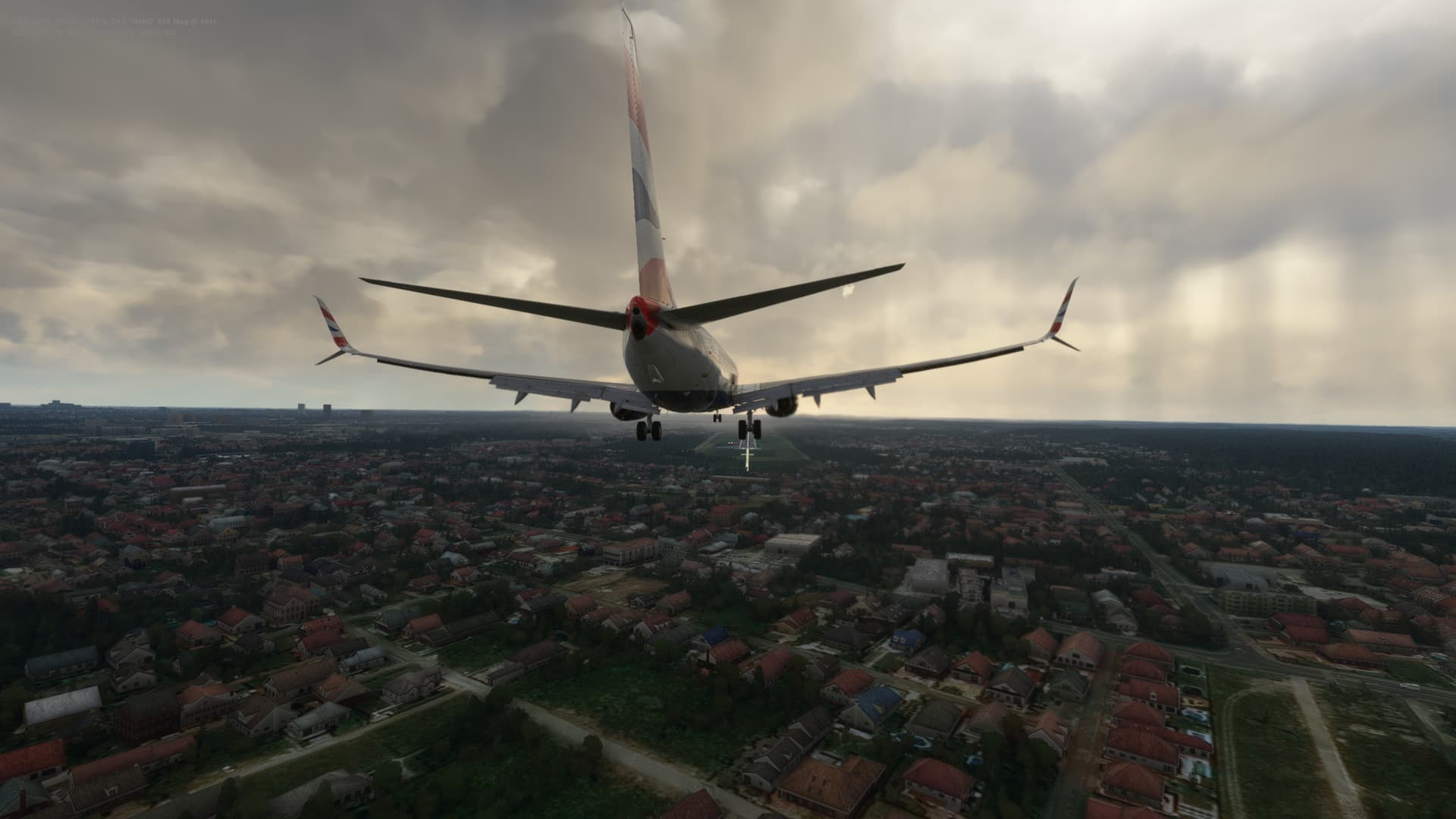
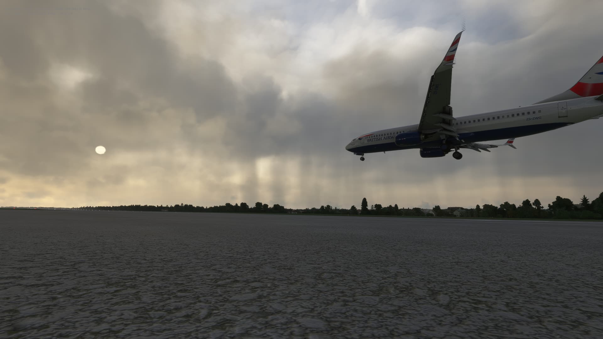
The weather was nice and clear in Turkey, but as we crossed the Black Sea, it started to get a bit clouder and was definitely threatening rain in Romania.
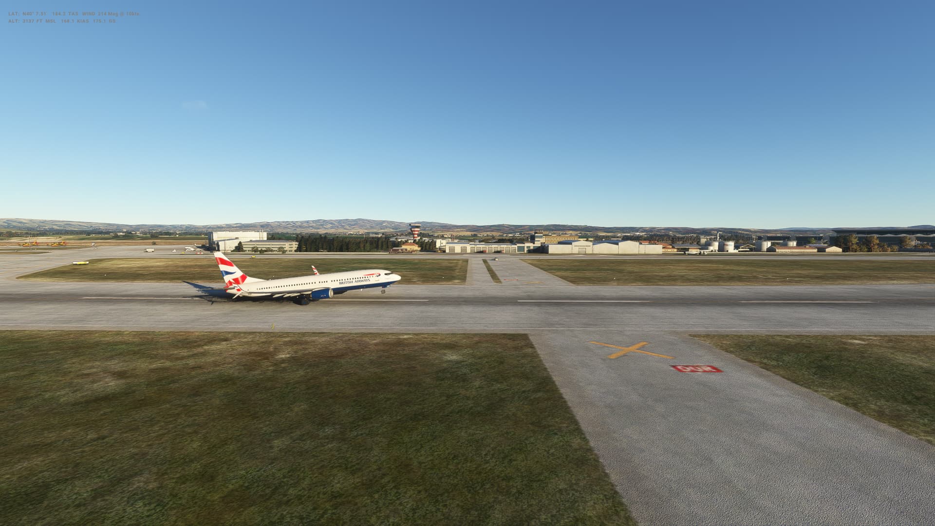
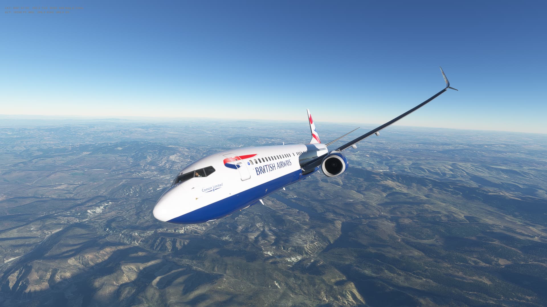
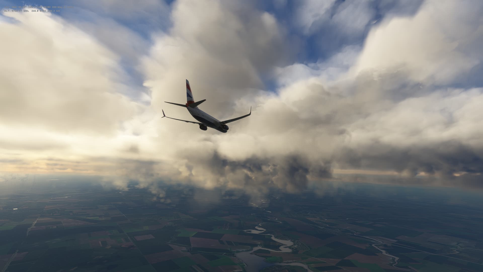
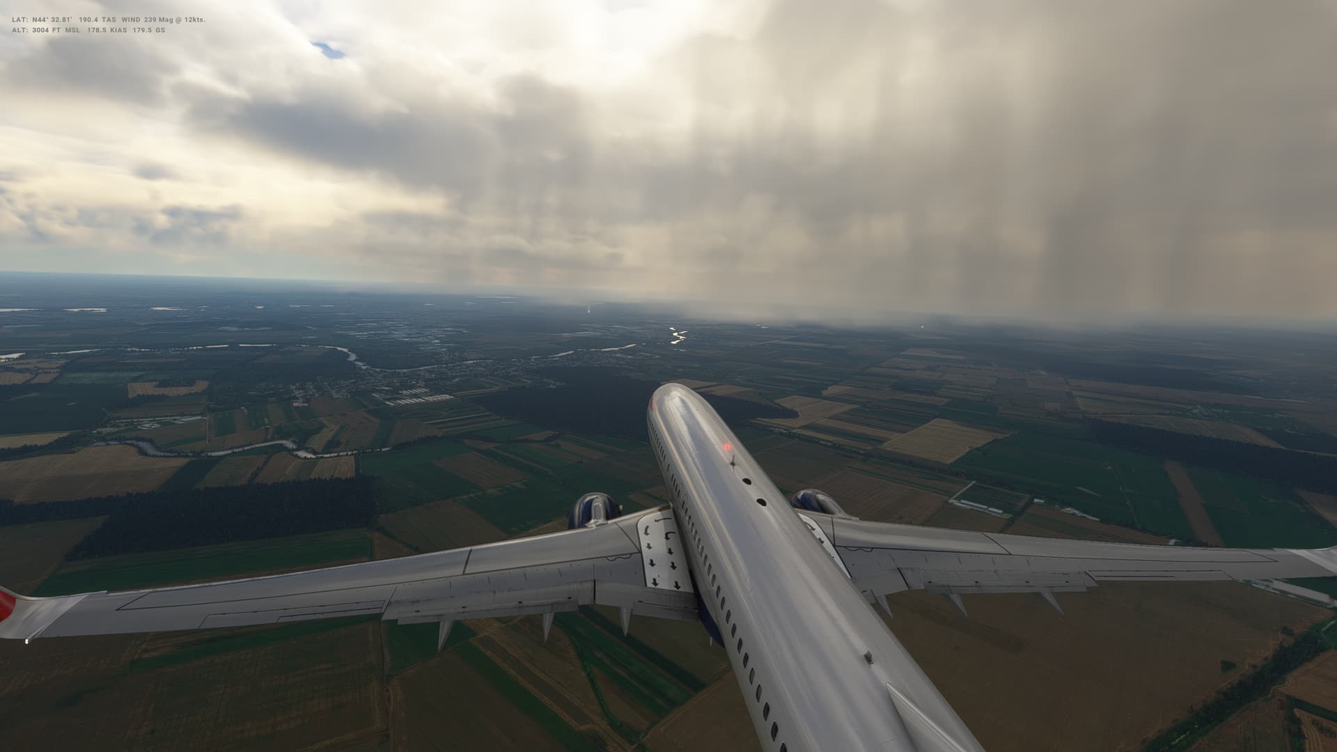
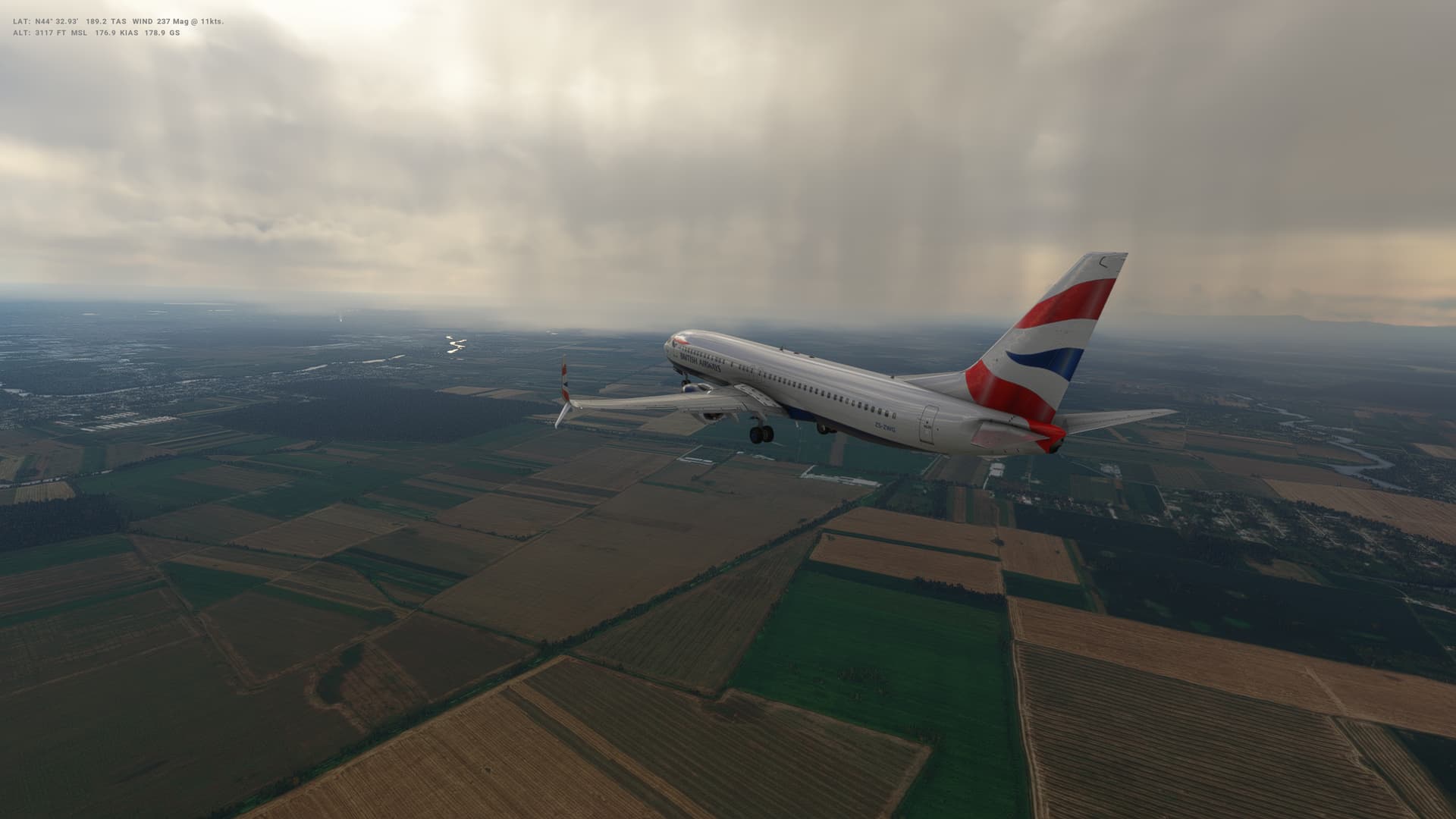
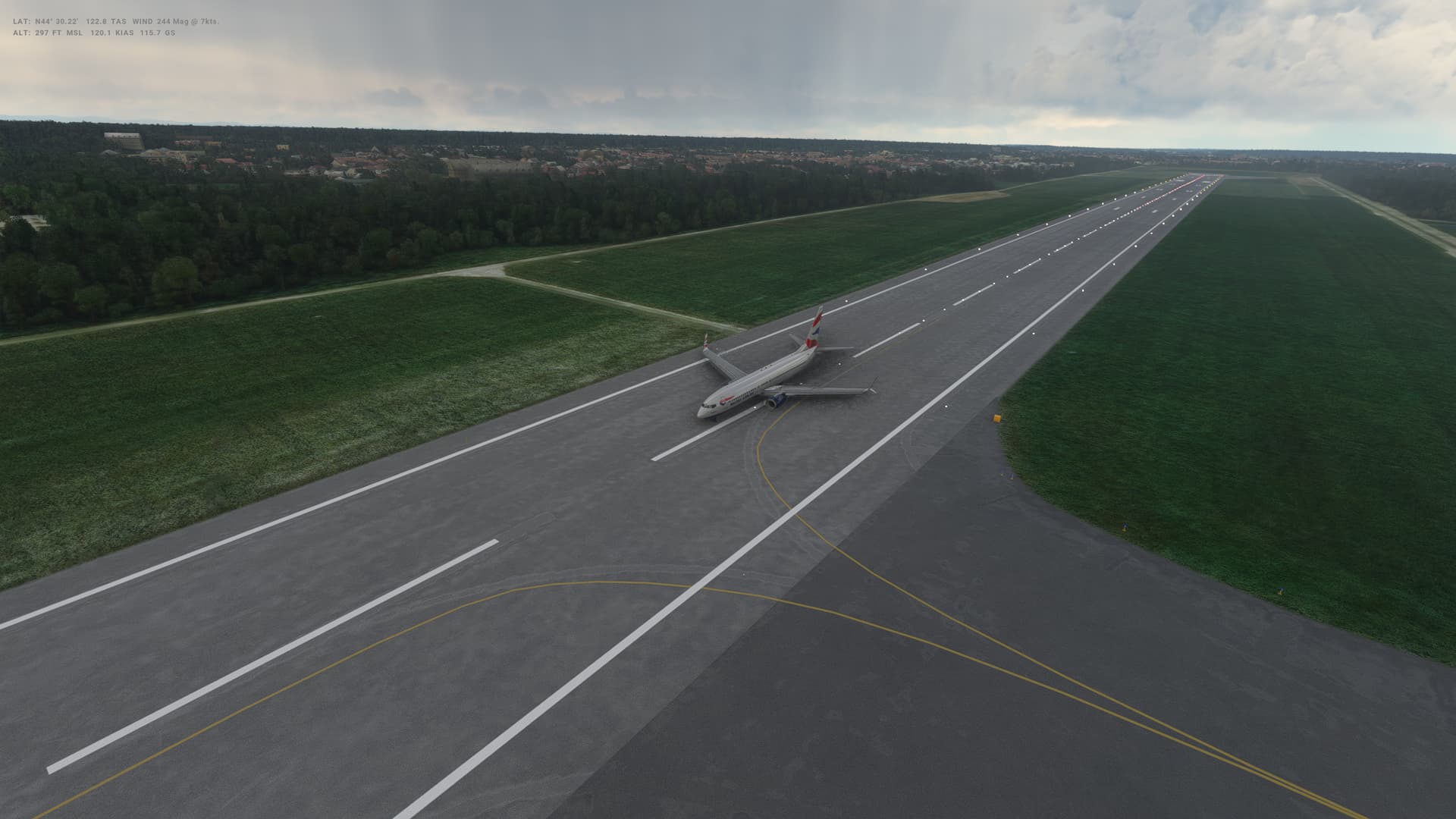
At least my take off was a little better today - been practising a little - still not quite getting the rotation smooth yet, need to keep working on this. I was pleased with the landing though, possibly my best in the 737 so far.
Romania
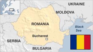
- Capital: Bucharest
- Population 21.4 million
- Area 238,391 sq km (148,129 sq miles)
- Major languages Romanian
- Major religion Christianity
- Life expectancy 71 years (men), 78 years (women)
- Currency new leu
Logbook
| This Leg | Leg | 22 | ||
|---|---|---|---|---|
| Date | 17/09/2022 | |||
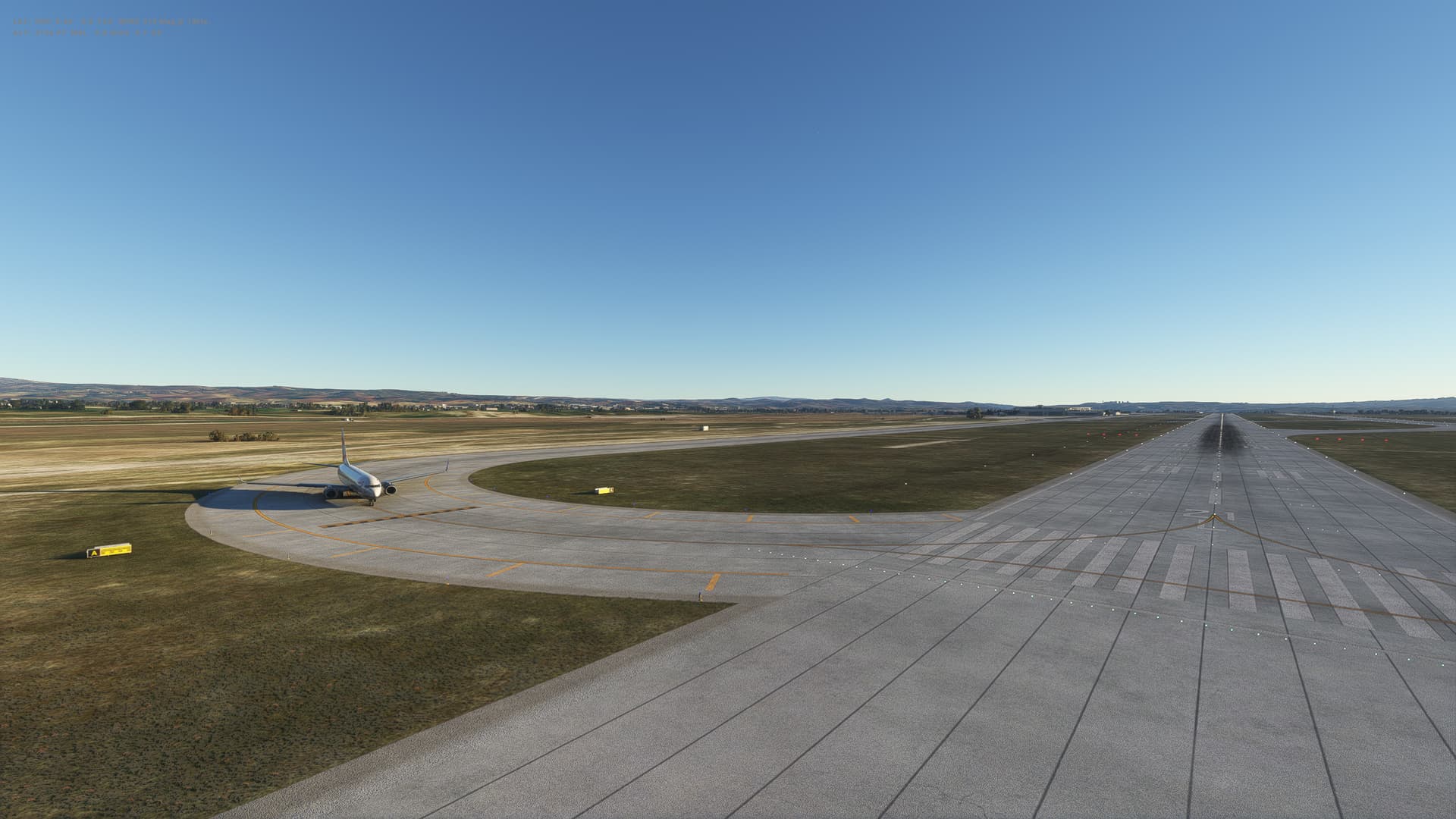
| Departure Airport | ICAO | LTAC | ||
| Airport | Esenboga International Airport | |||
| Capital City | Ankara | |||
| Country | Turkey | |||
| Runway | 21L | |||
| Arrival Airport | ICAO | LRBS | ||
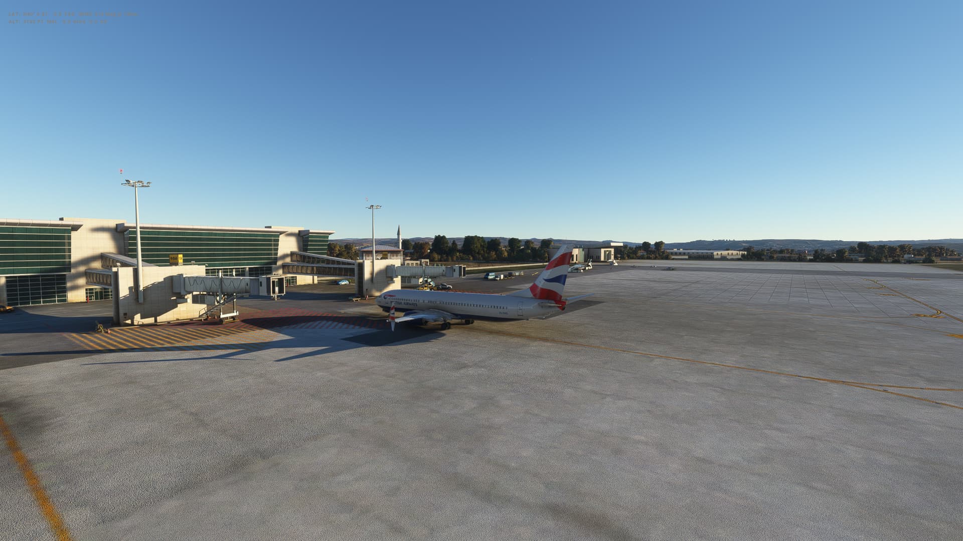
| Airport | Aurel Vlaicu International Airport | |||
| Capital City | Bucuresti | |||
| Country | Romania | |||
| Runway | 25 | |||
| Actual Time (Local) | Pushback Time | 17:00 | ||
| Take Off Time | 17:09 | |||
| Touchdown Time | 18:07 | |||
| Arrival Time | 18:10 | |||
| Air time | 00:58 | |||
| Total Time | 01:10 | |||
| Ground Distance (Nm) | 438 | |||
| Air Distance (Nm) | 471 | |||
| Great Circle Distance (Nm) | 403 | |||
| Fuel Start (Kgs) | 7,001 | |||
| Fuel End (Kgs) | 2,772 | |||
| Fuel Used (Kgs) | 4,229 | |||
| SID | DEREL1D | |||
| Route | LTAC/21L DEREL1D DEREL UL602 MAKOL L619 ARGES DCT OSTAL OSTAL1Y LRBS/25 |
|||
| STAR | OSTAL1Y | |||
| Approach | ILS 25 | |||
| Passengers | 175 | |||
| Cargo (000 Kgs) | 4,400 | |||
| Take Off Weight (000 Kgs) | 68.5 | |||
| Cruising Altitude (feet) | 32,000 | |||
| Cumulative | Ground Distance (Nm) | 8,325 | ||
| Air Distance (Nm) | 8,342 | |||
| Great Circle Distance (Nm) | 6,669 | |||
| Total air time | 09:35 | |||
| Total time | 01:13:51 | |||
| Fuel Used (Kgs) | 56,340 |
Flightplan:
IFR Esenboga (LTAC) to Baneasa (LRBS).lnmpln (2.8 KB)

Timelapse Video

Screenshots


Overall route so far
UTDD UTTT UCFM UACC UTAA OIII UBBB UGTB UDYZ ORBI OKBK OBBI OOMS OMAA OTHH OERK OJAI LLBG OSDI OLBA LCEN LTAC LRBS
