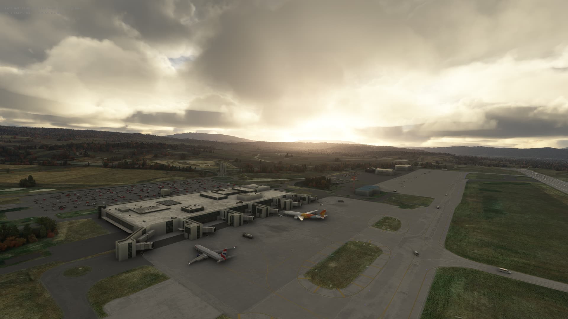
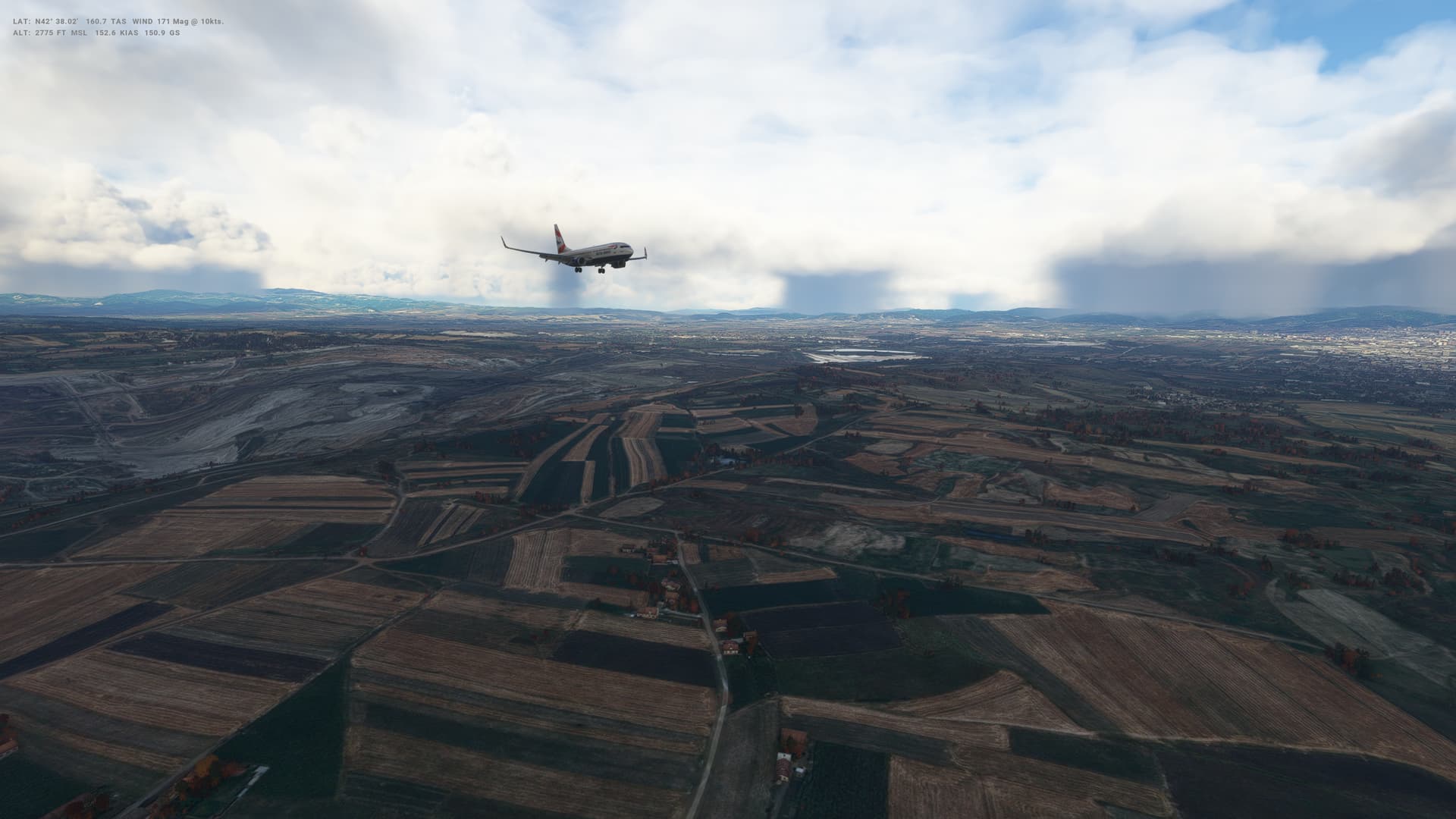
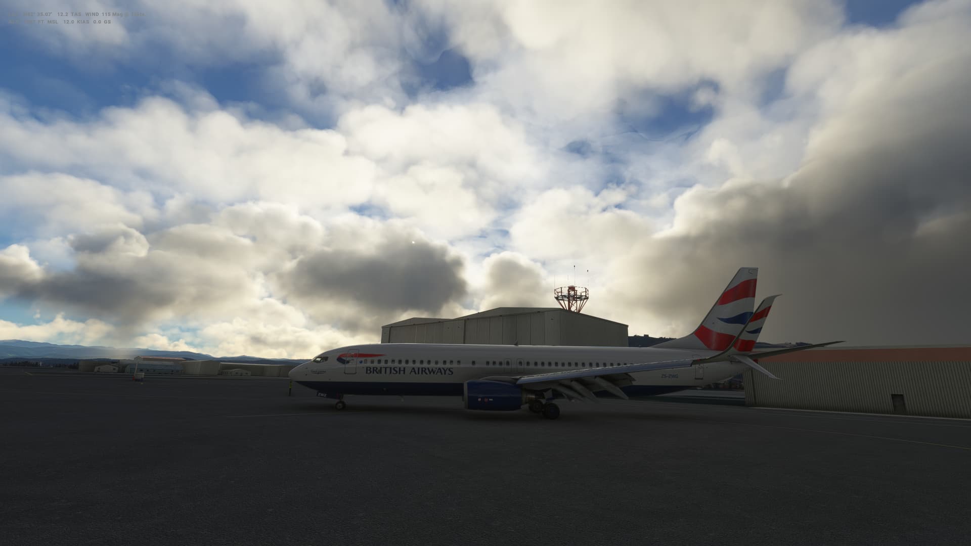
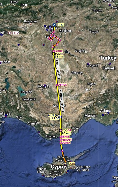
Leg 21: Nicosia (LCEN), Cyprus to Ankara (LTAC), Turkey
Summary
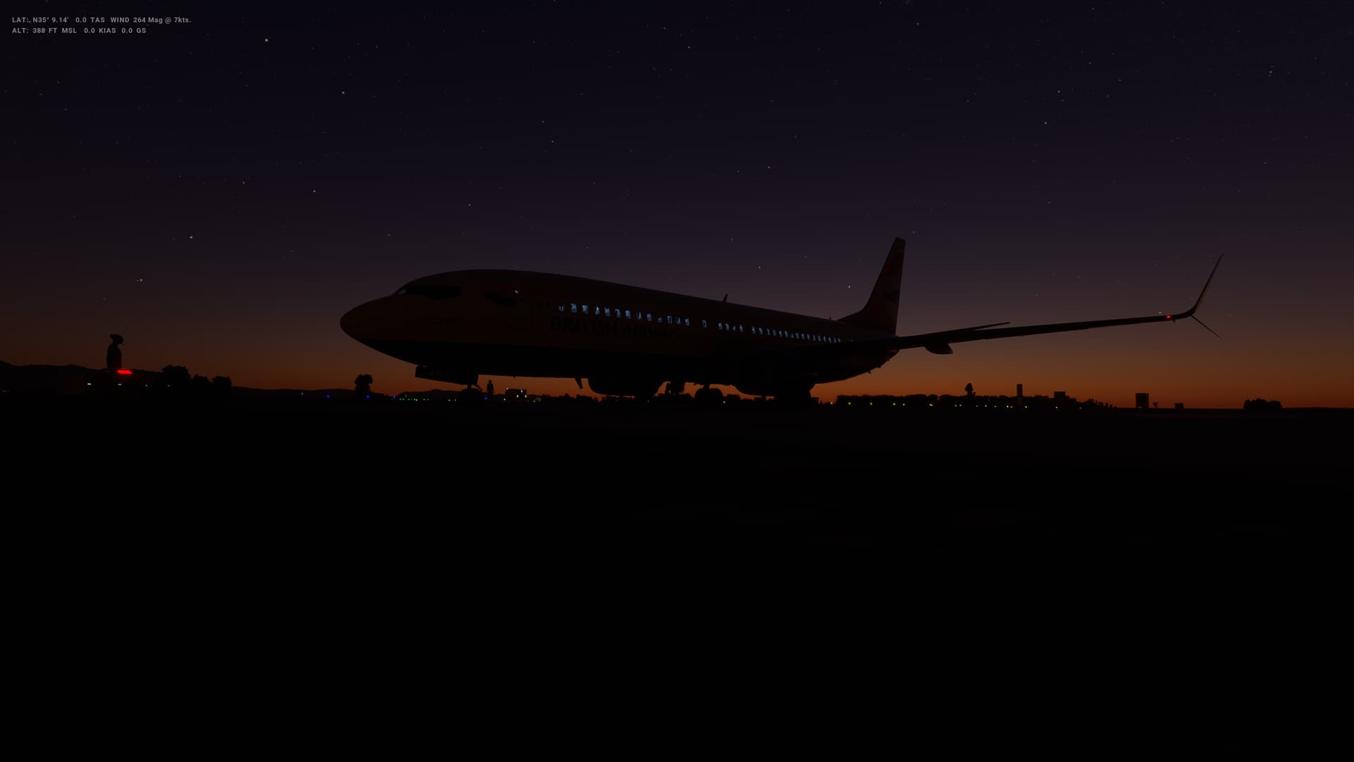
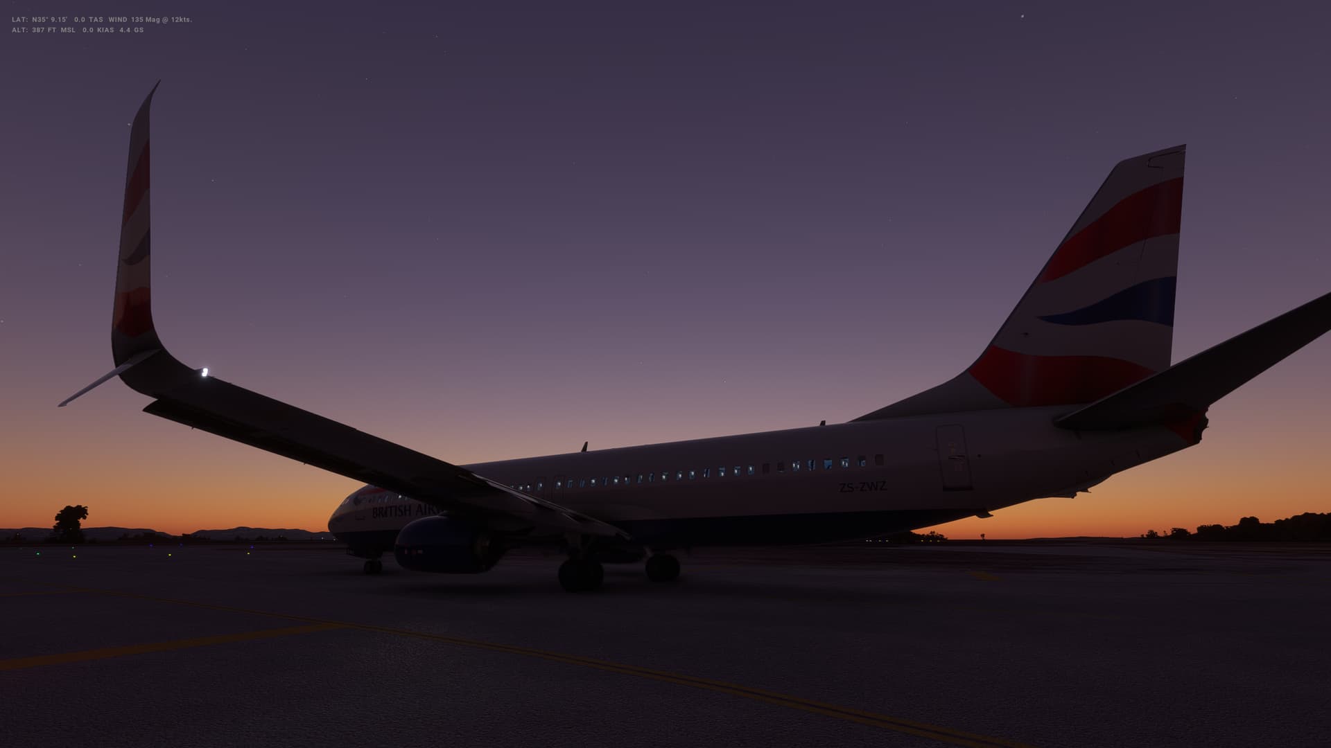
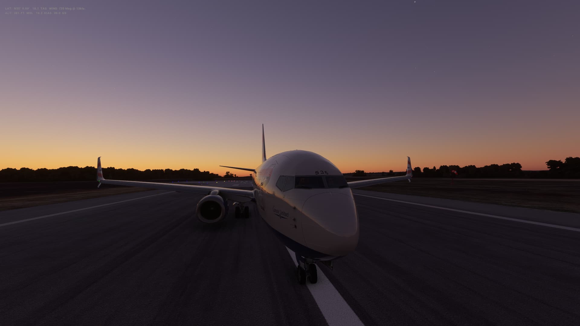
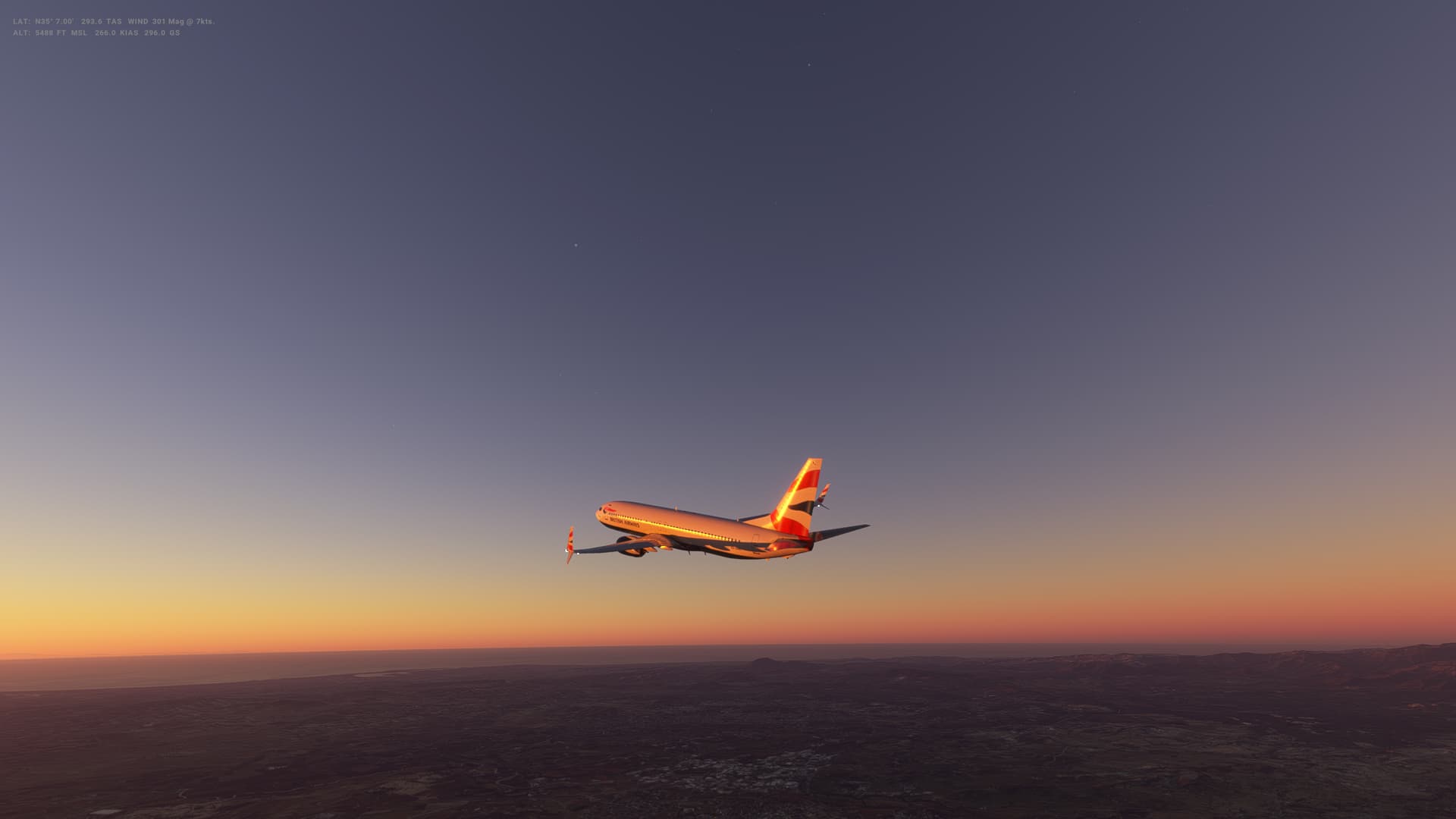
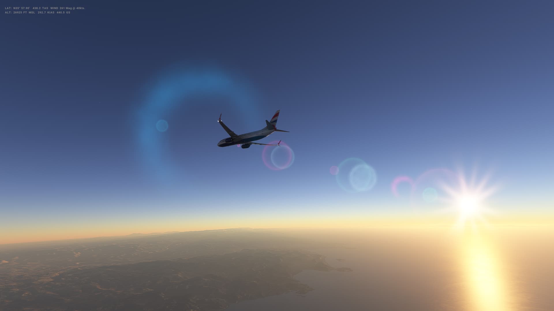
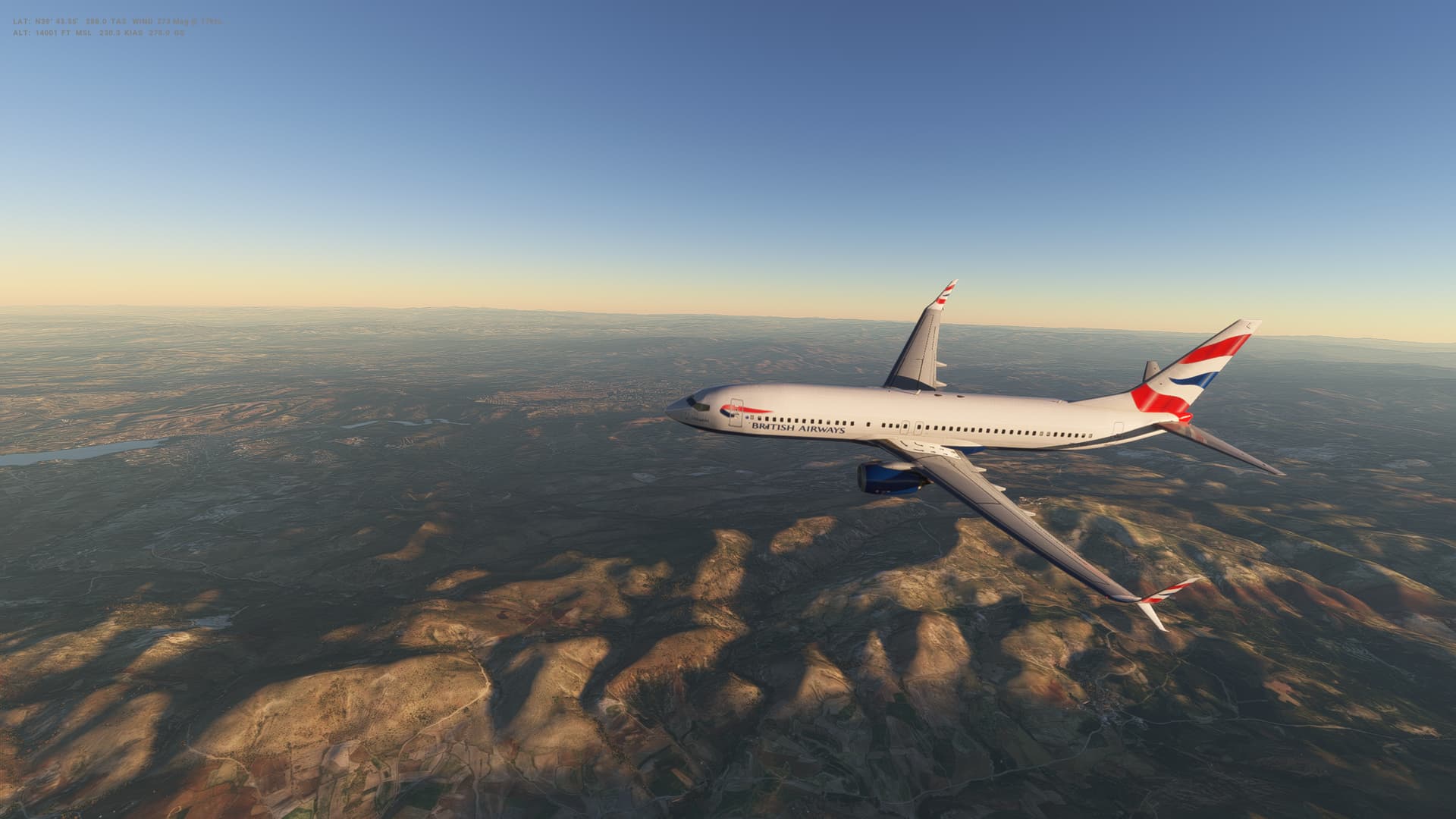
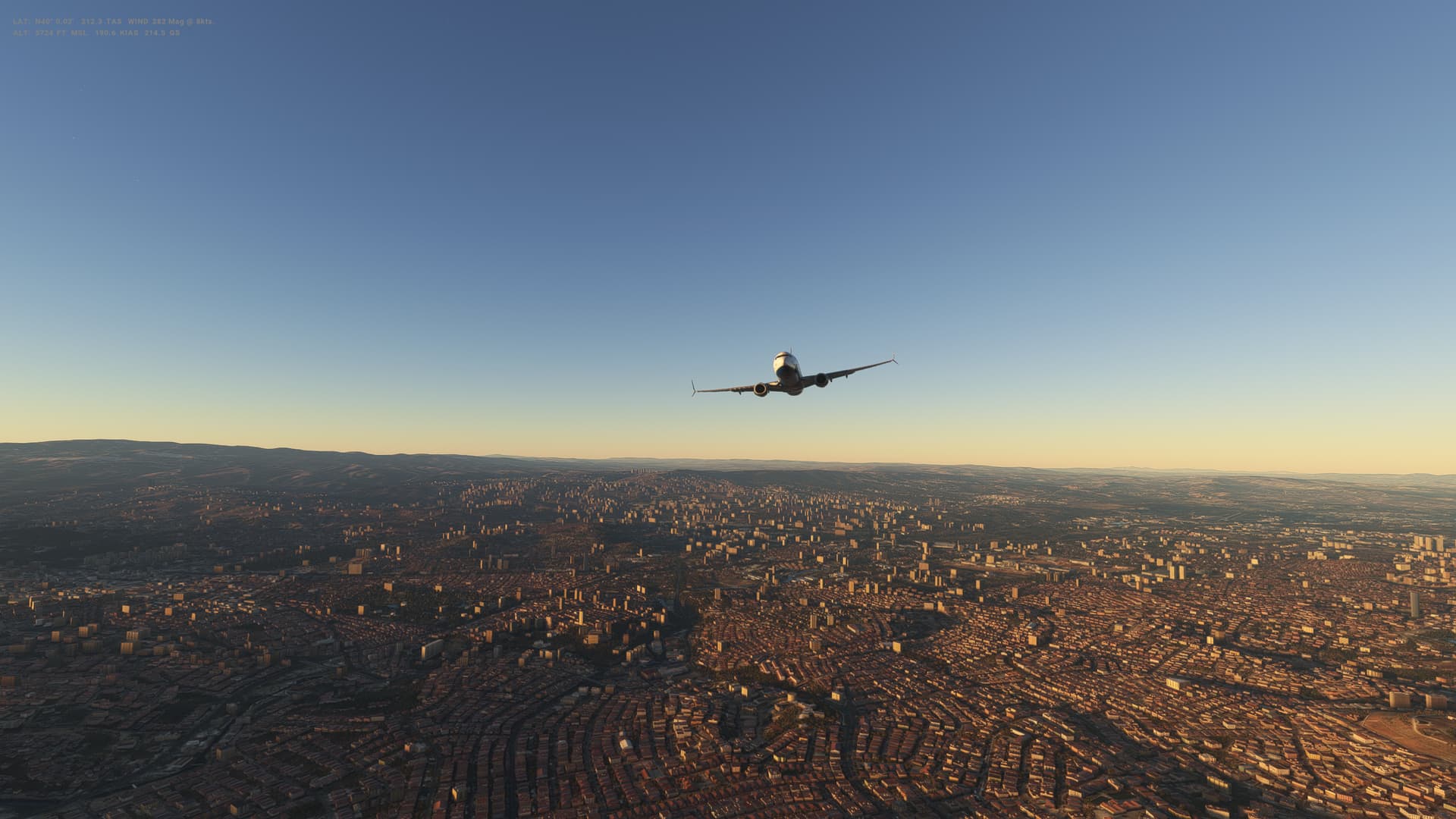
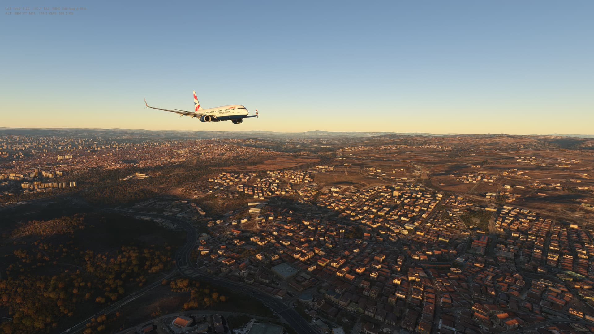
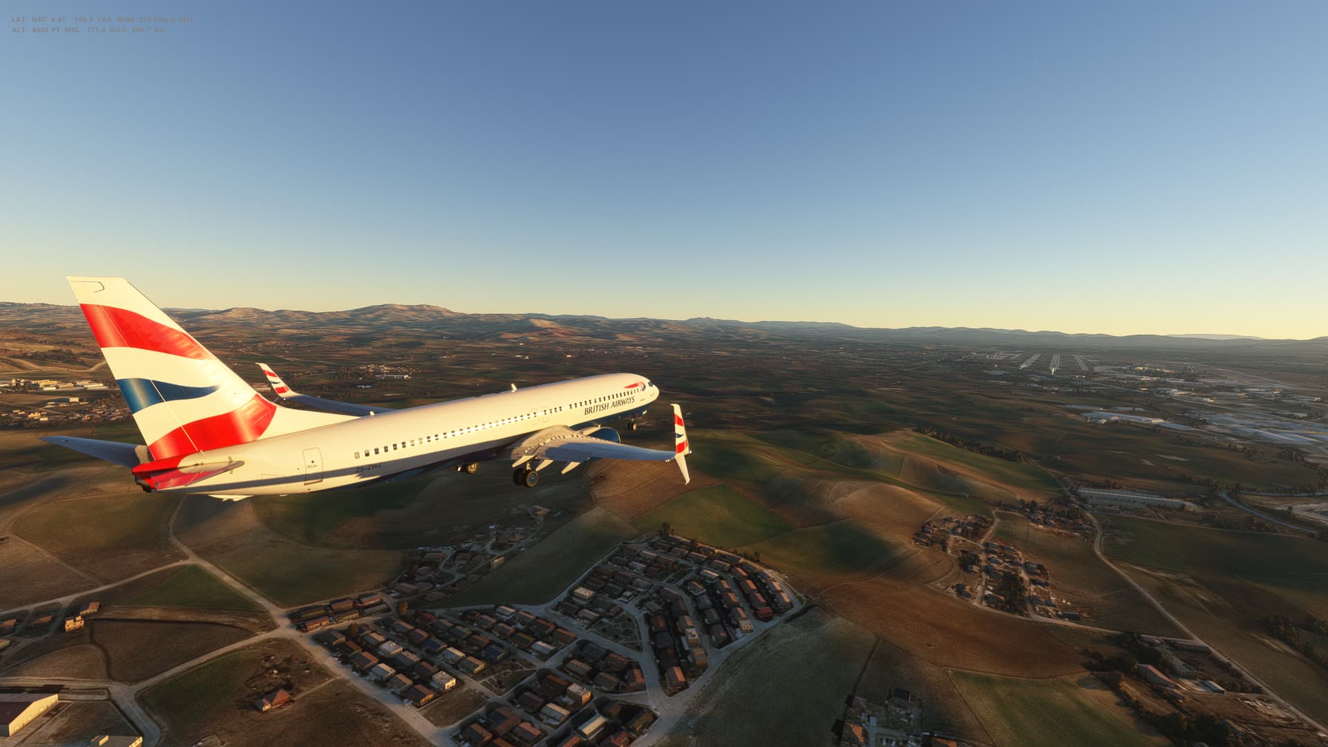
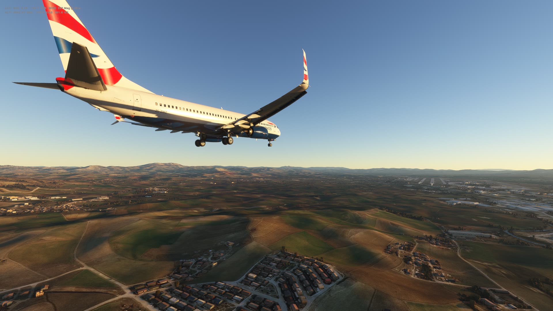
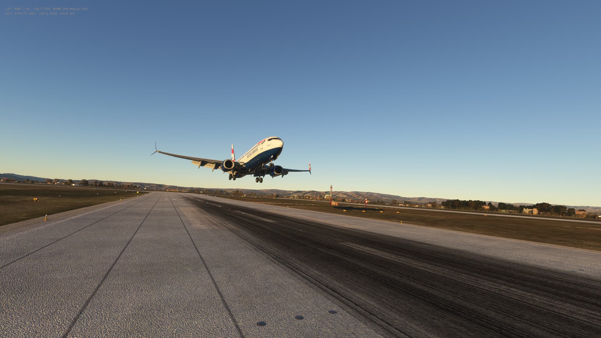
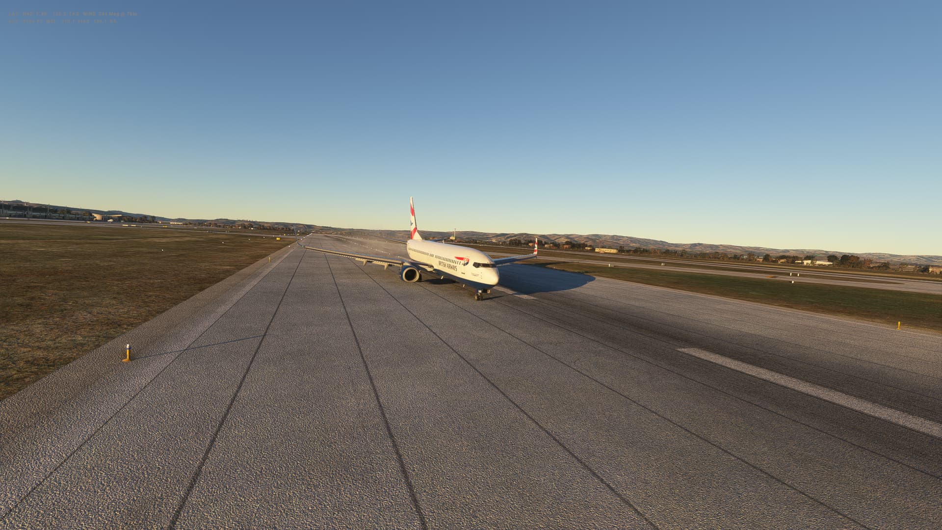
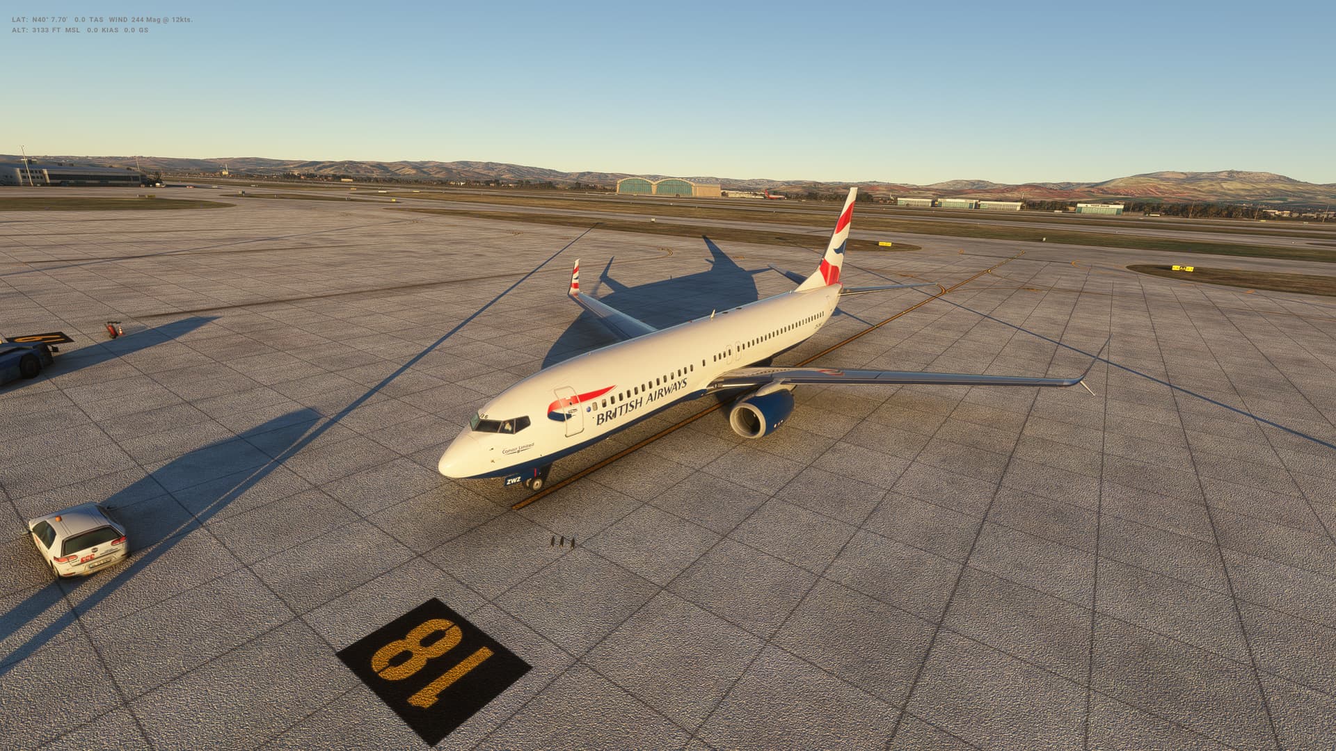
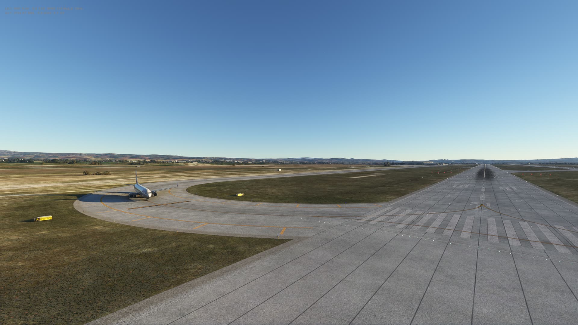
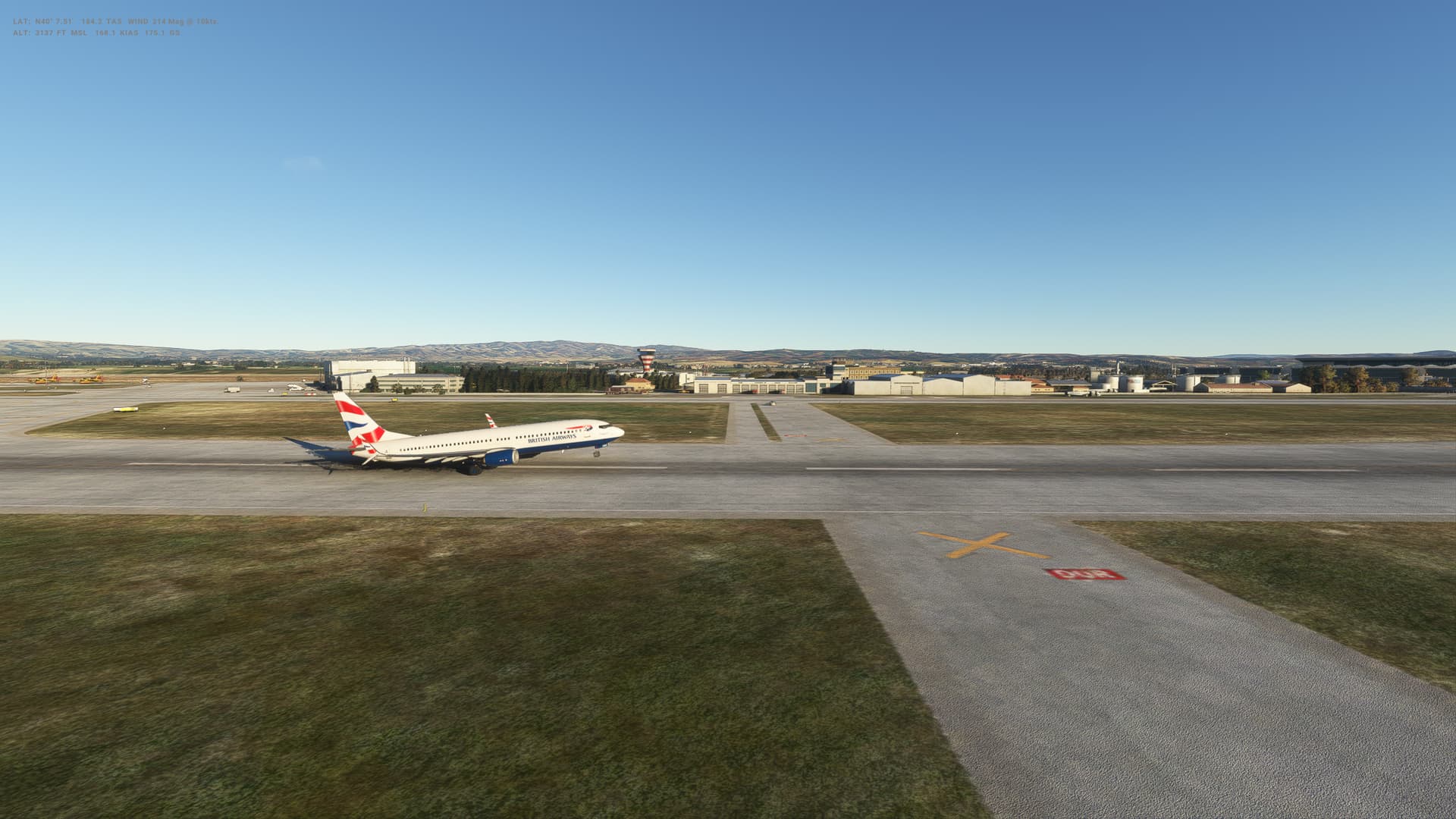
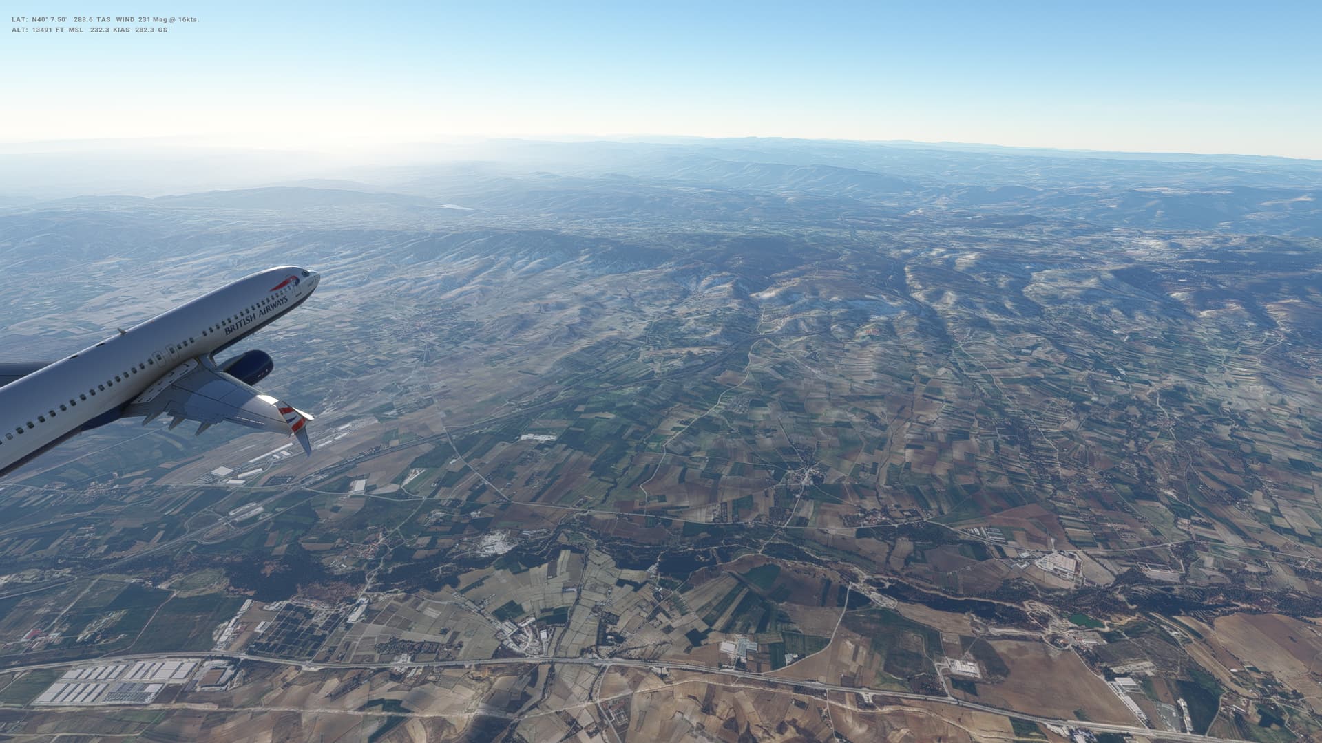
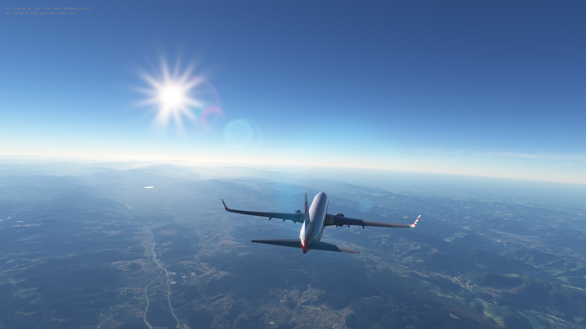
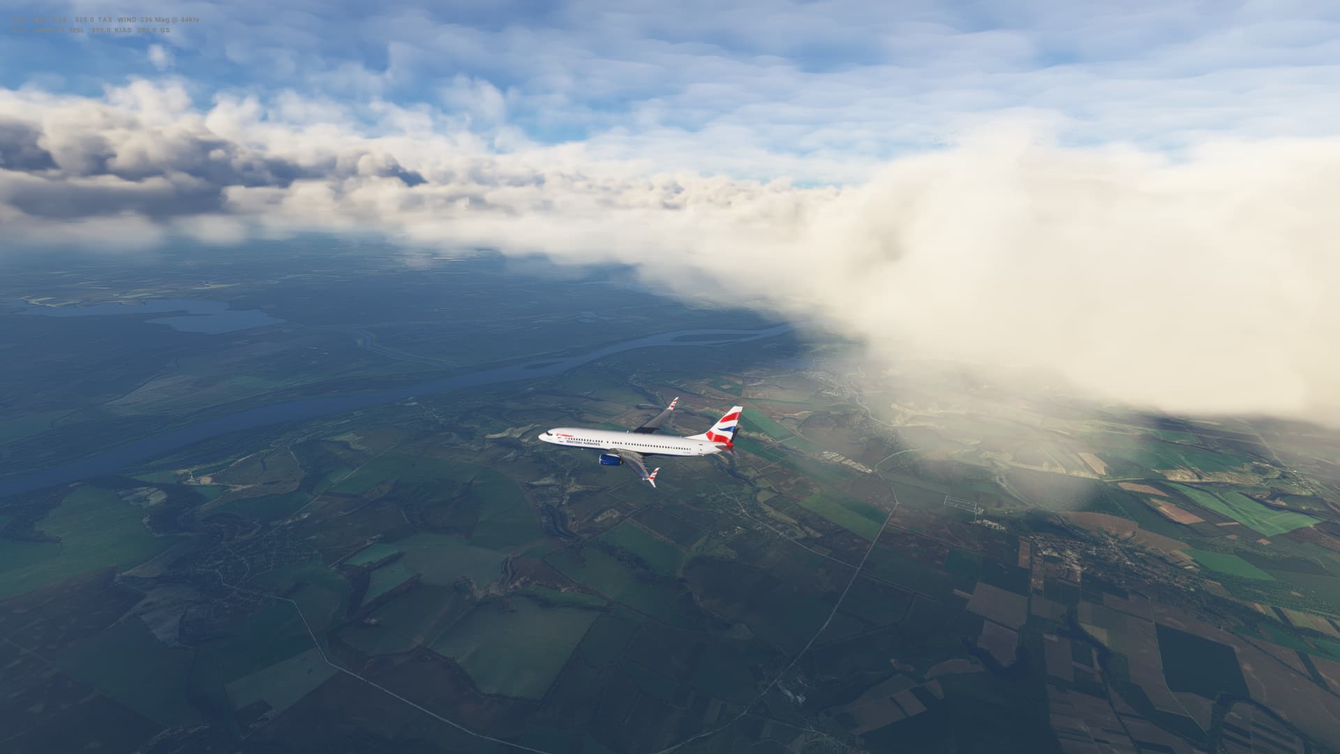
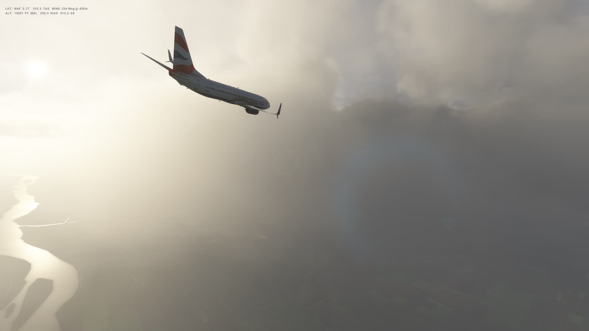
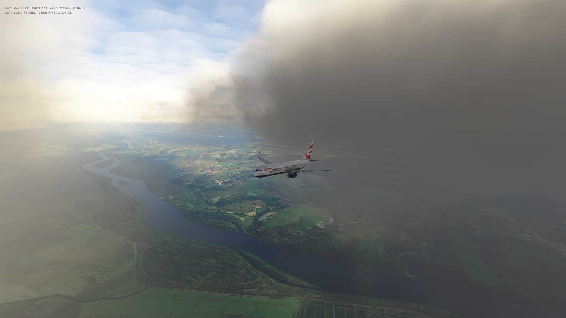
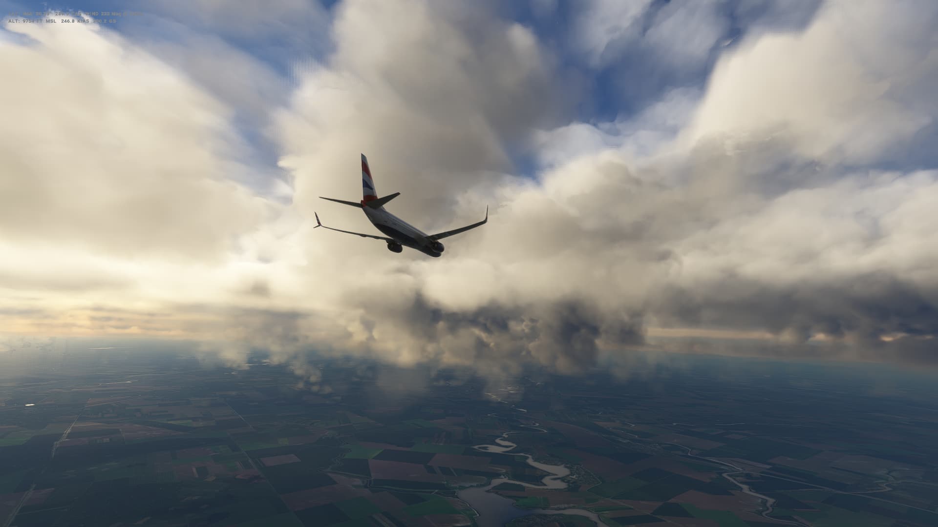
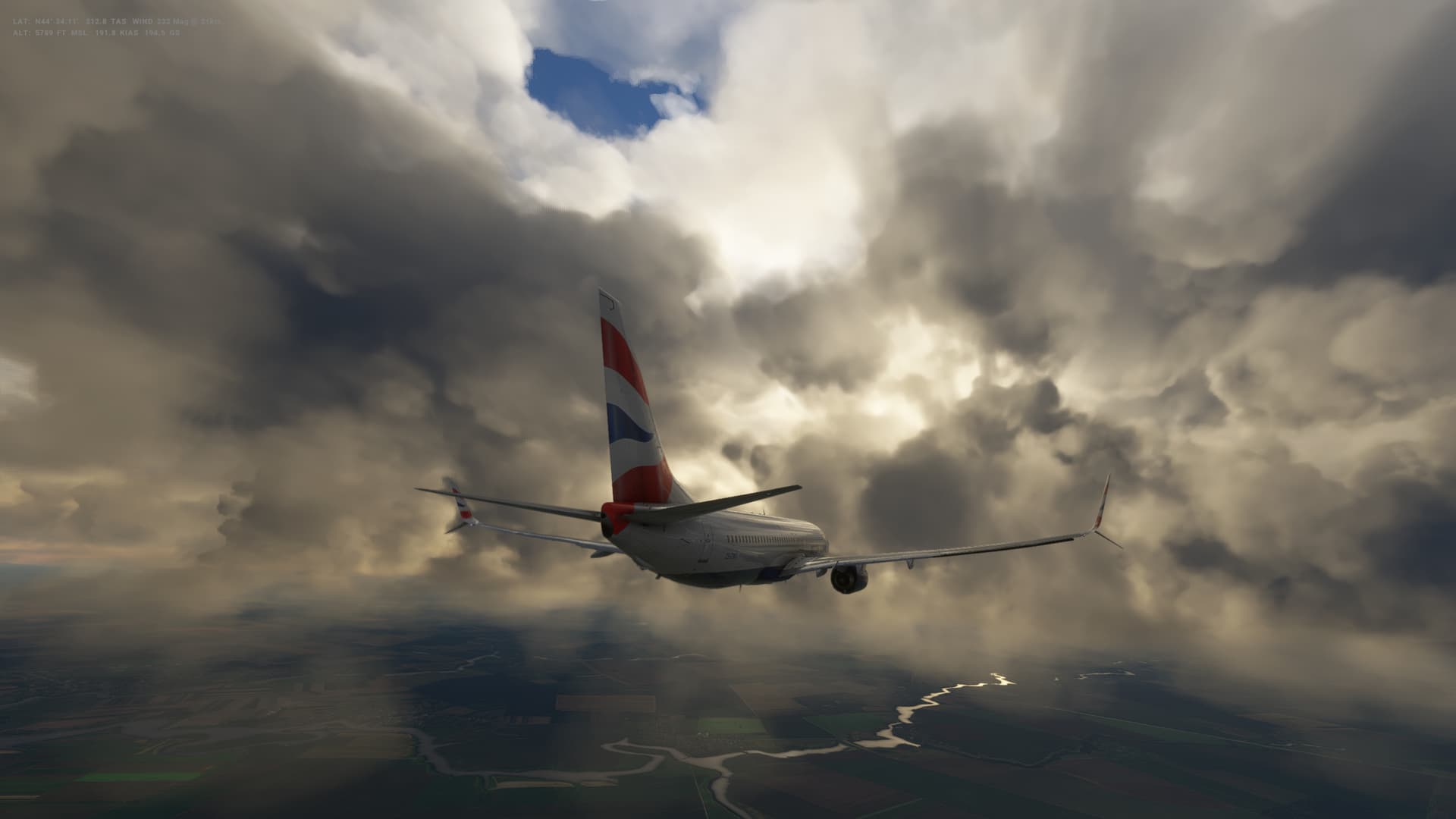
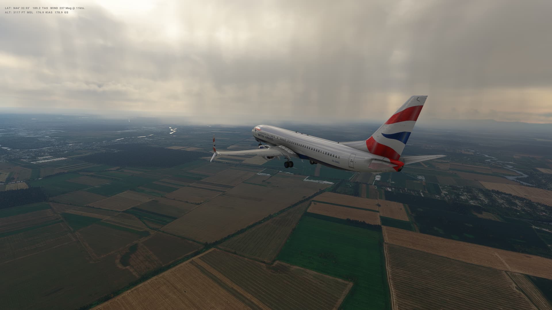
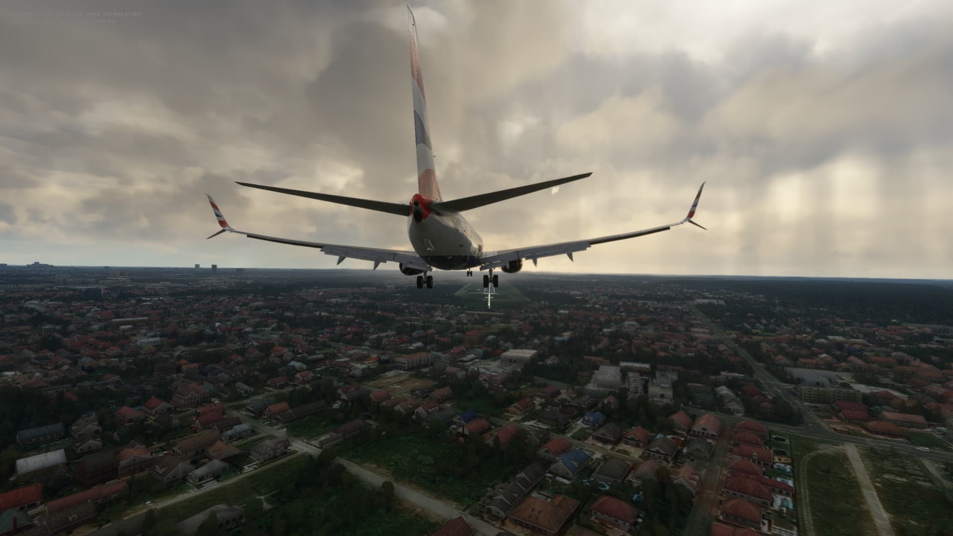
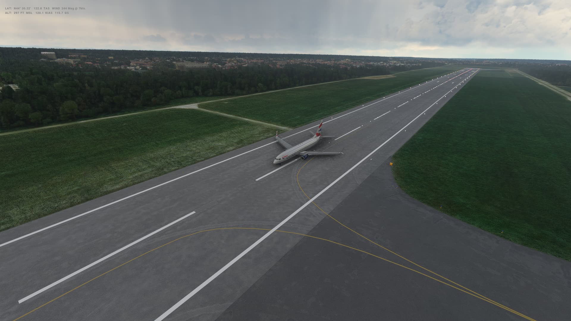
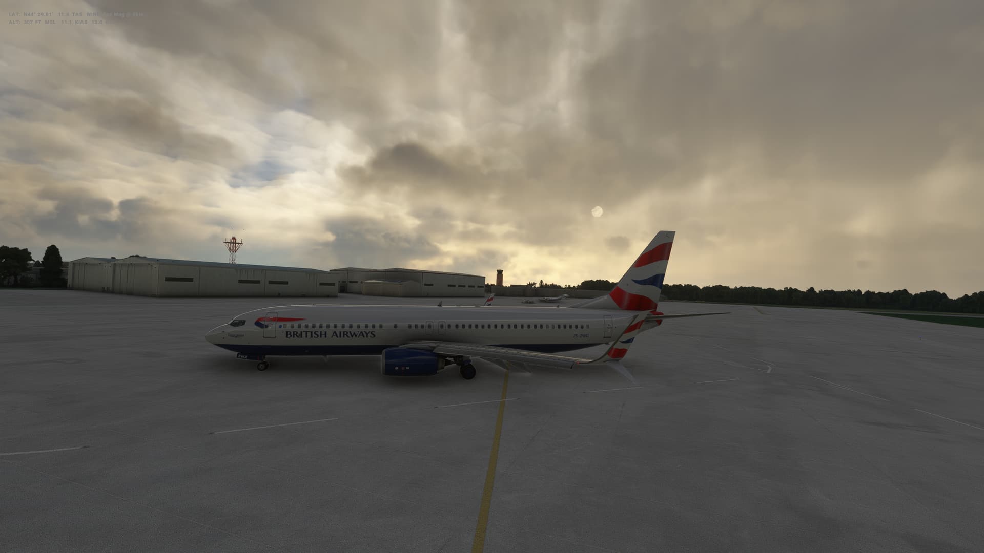
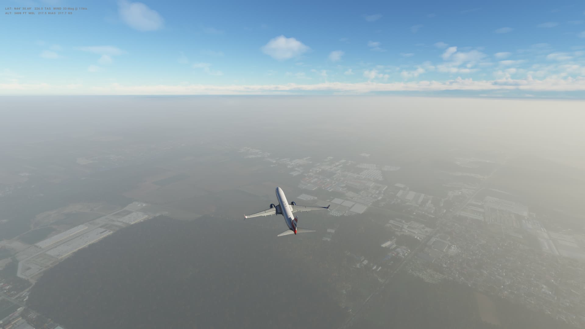
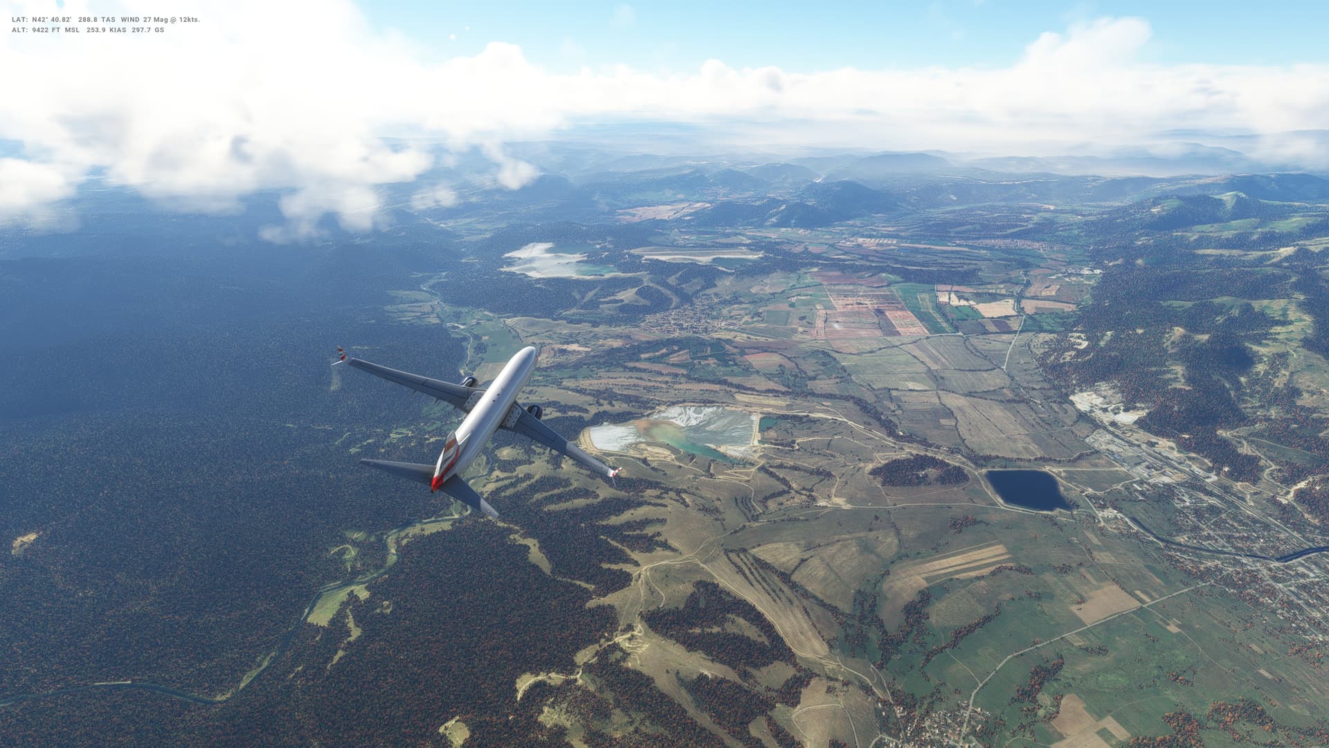
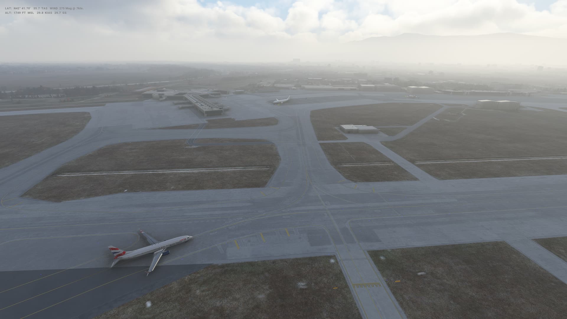
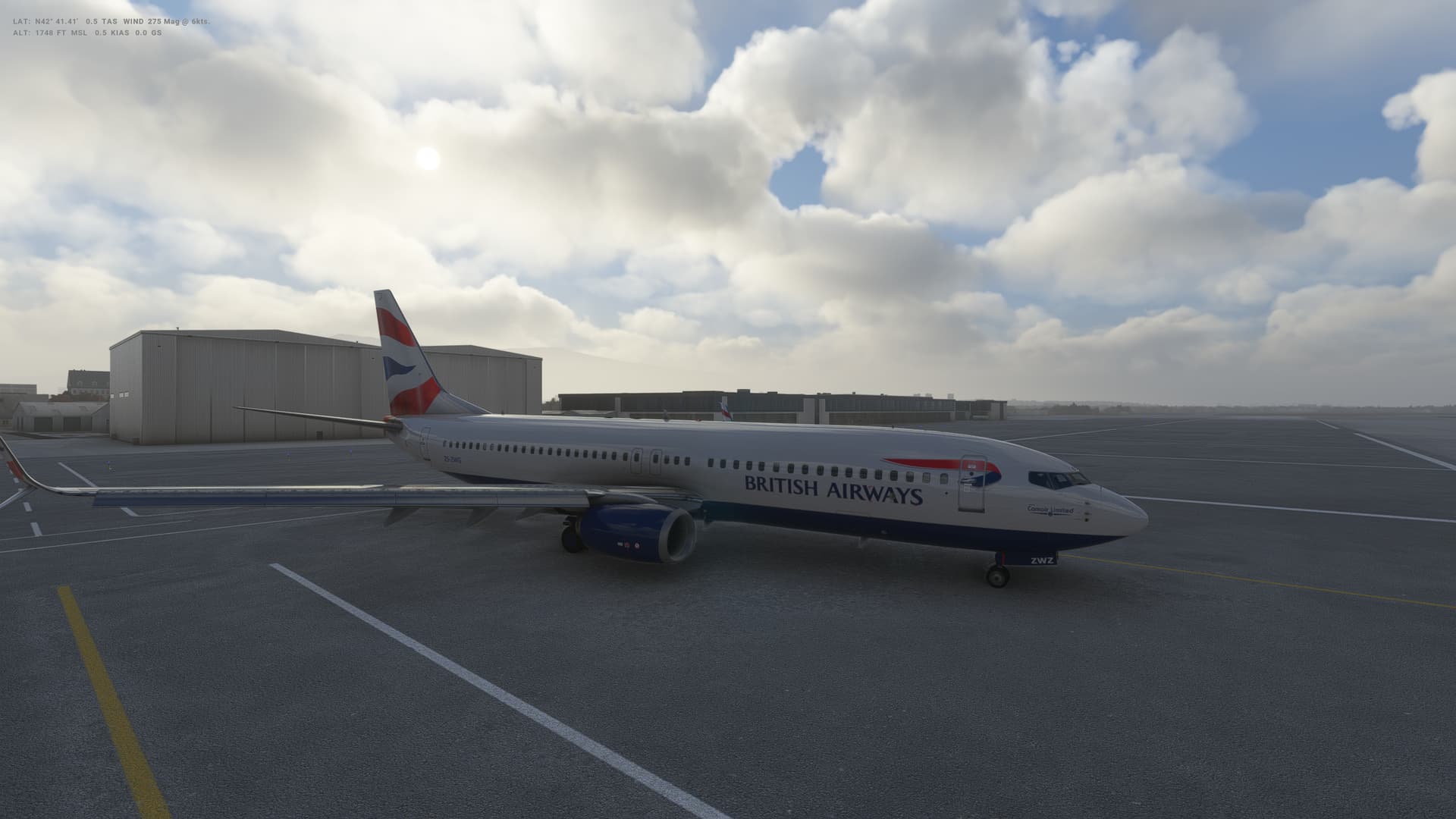
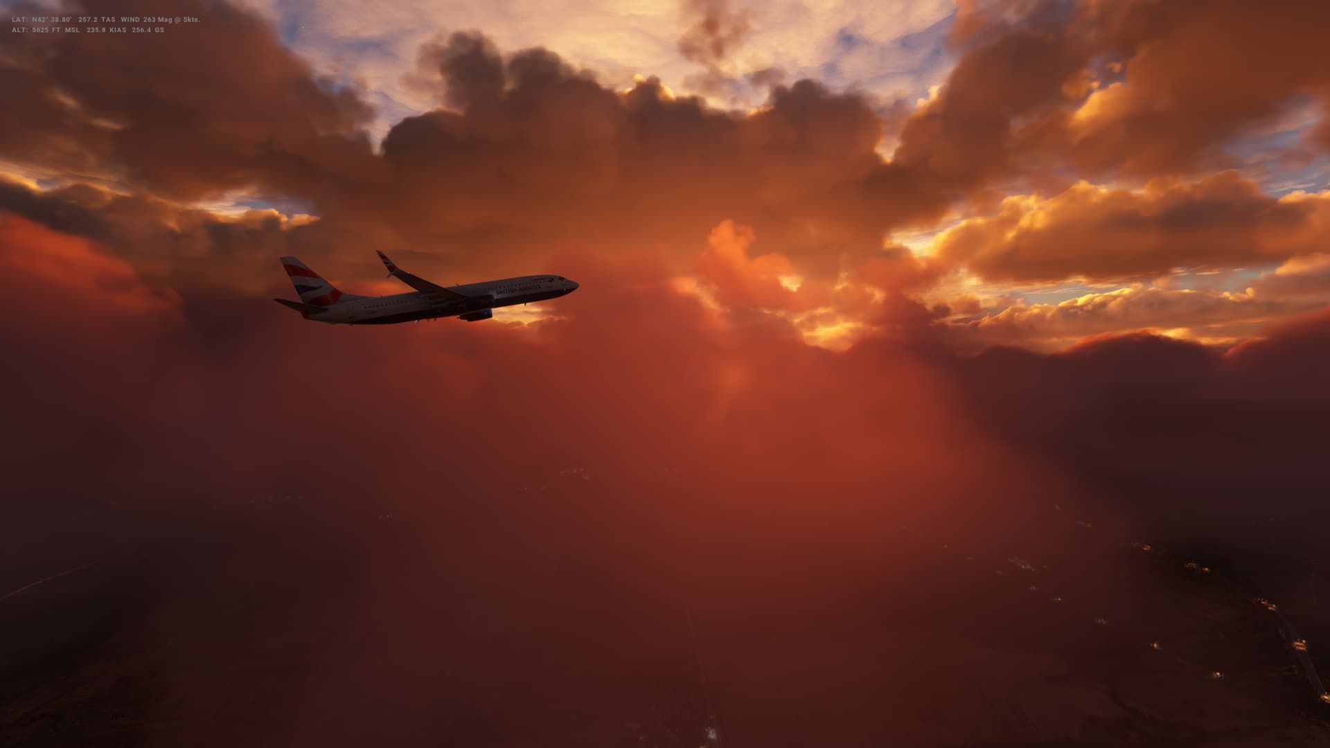
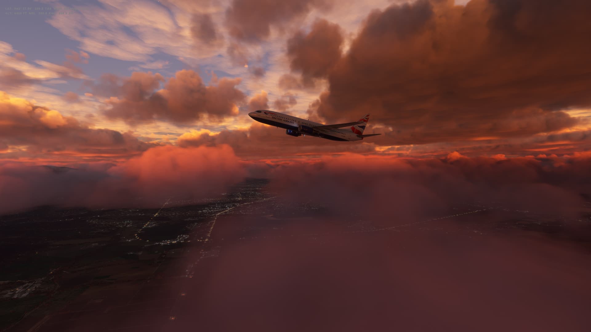
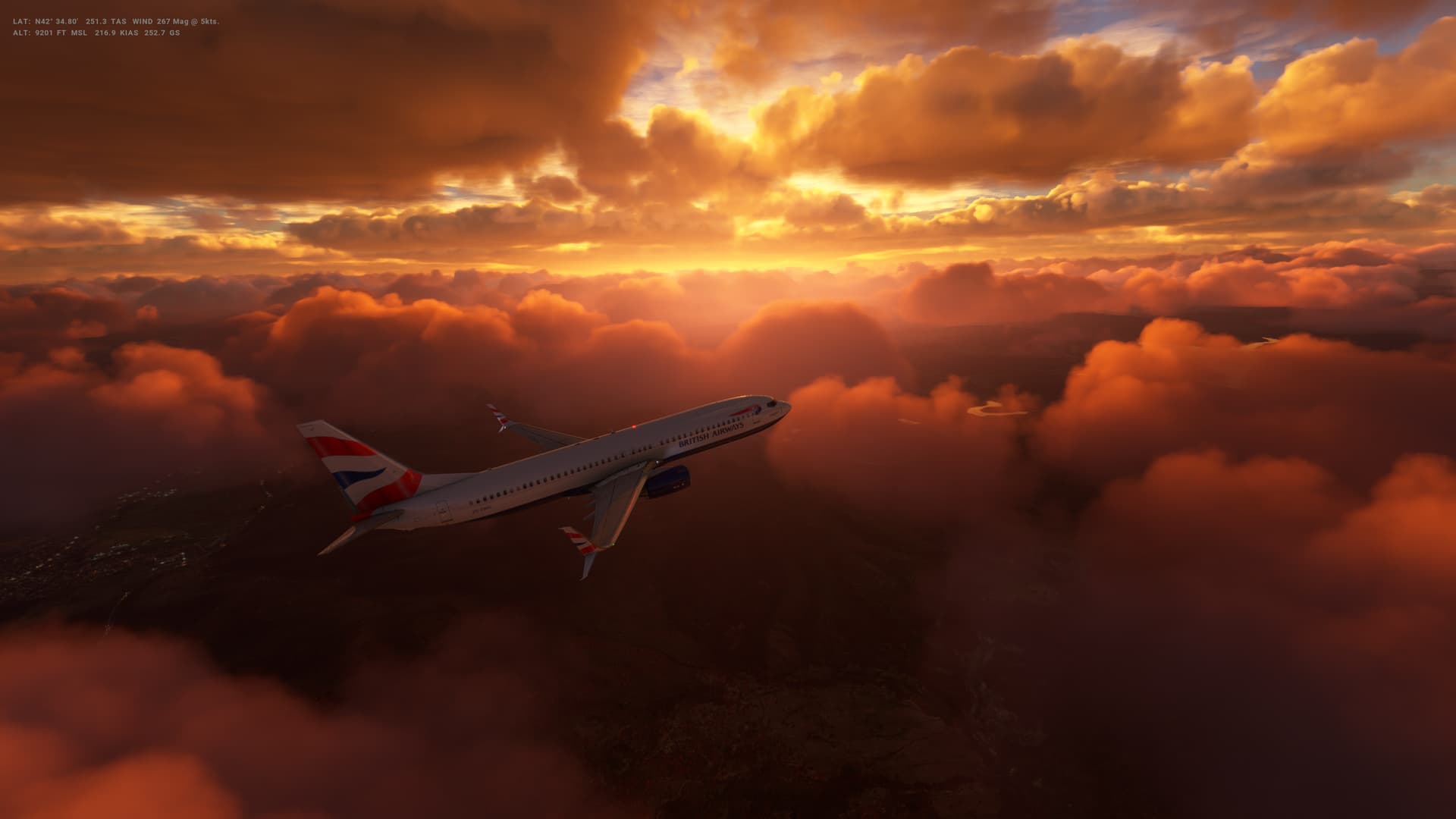
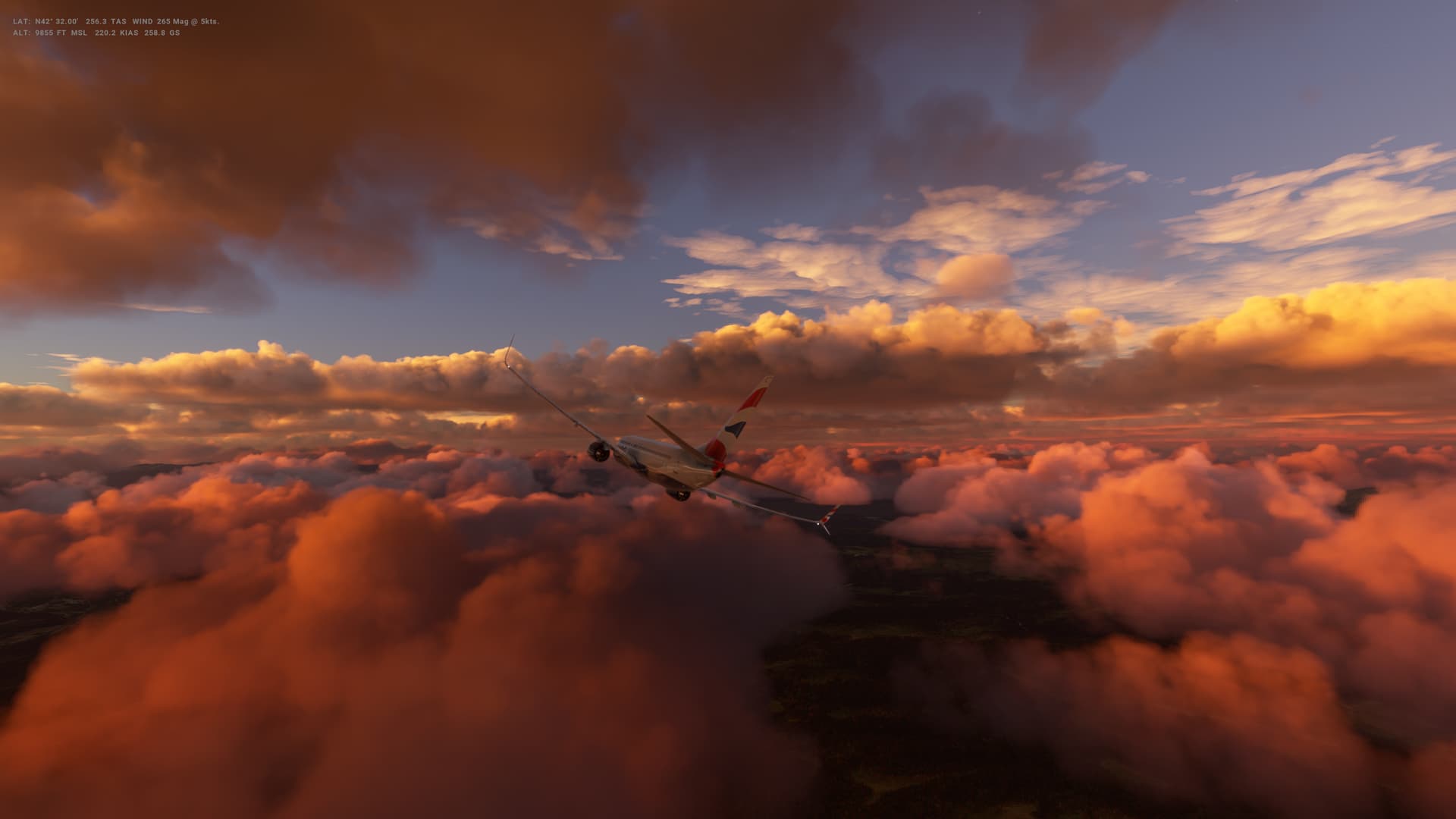
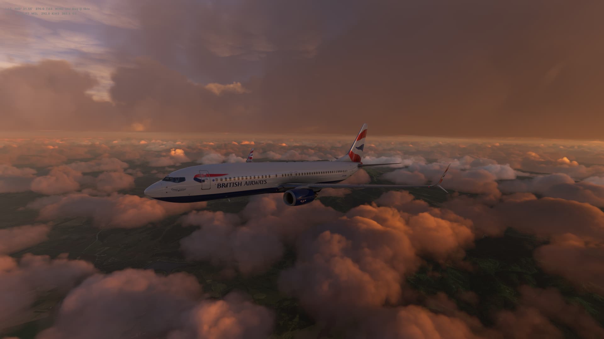
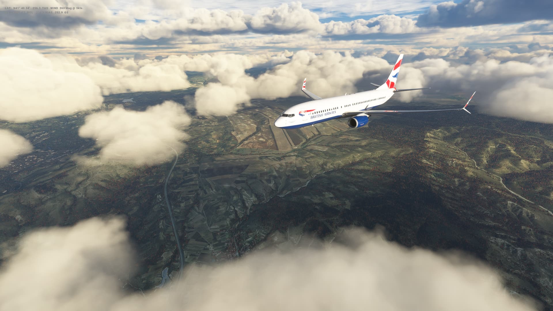
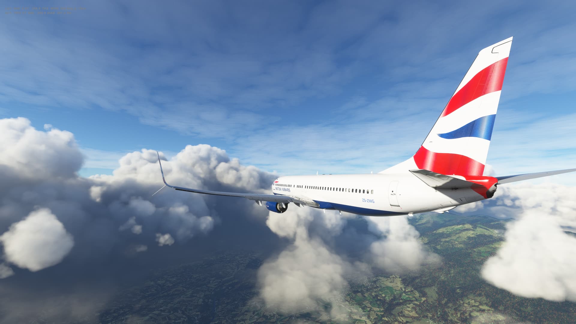
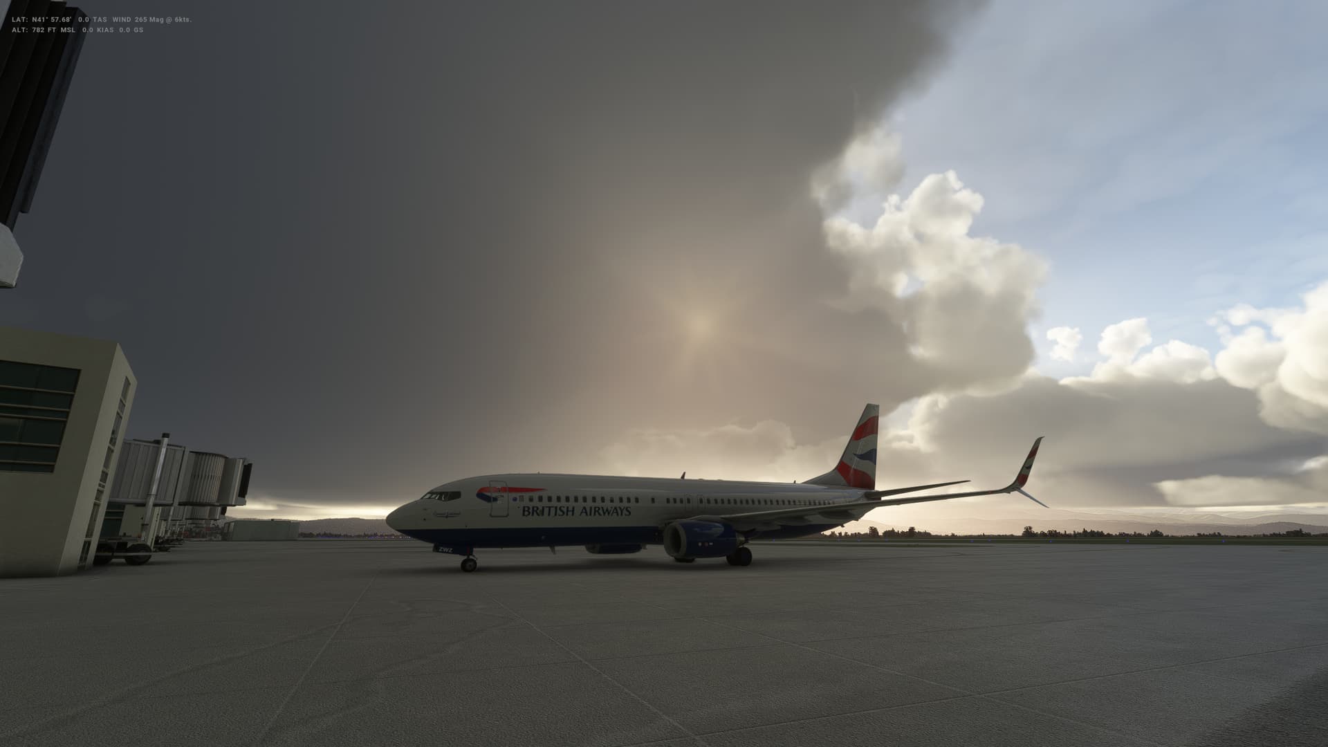
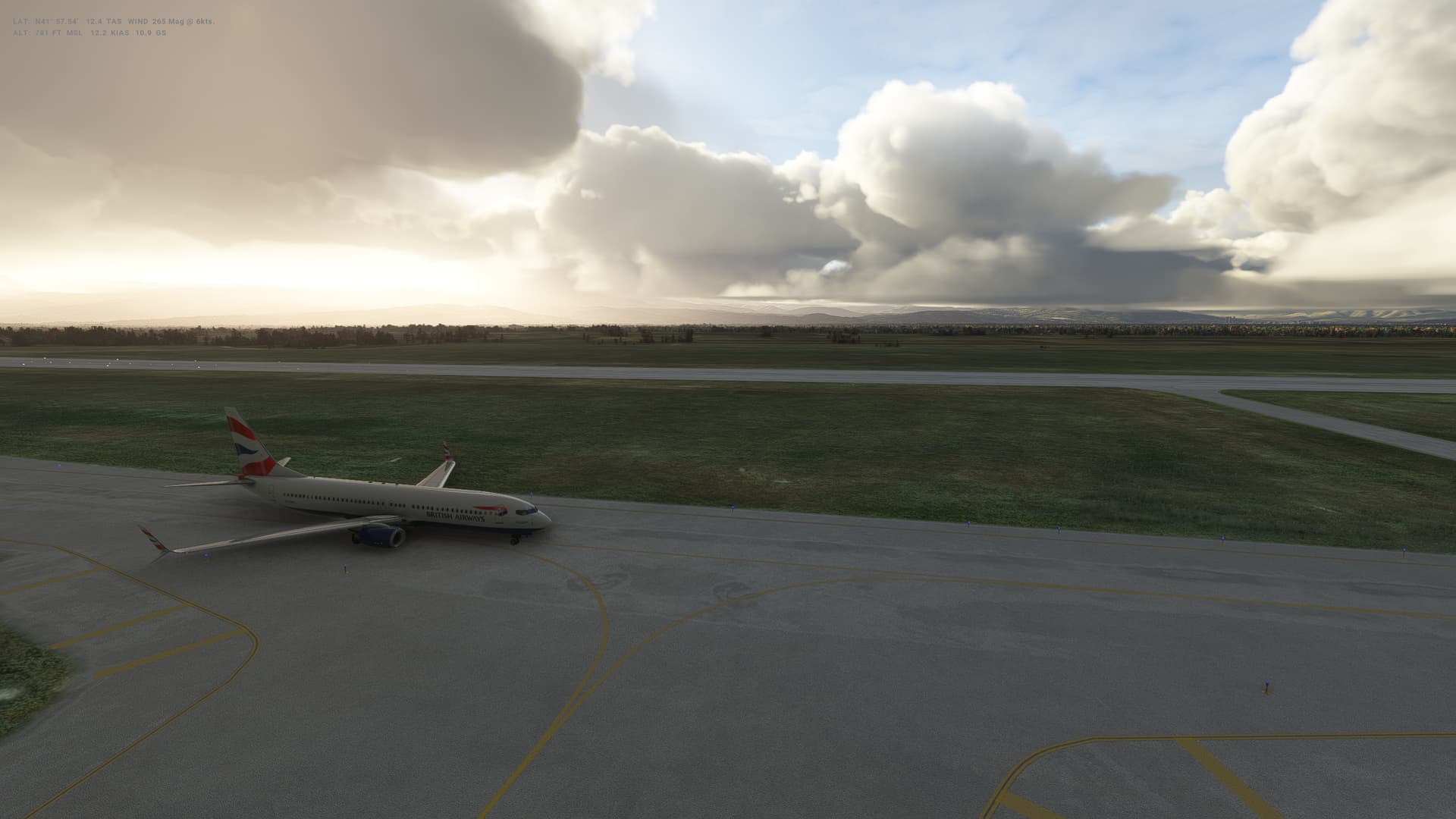
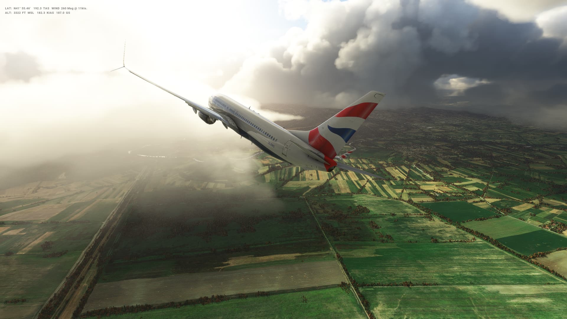
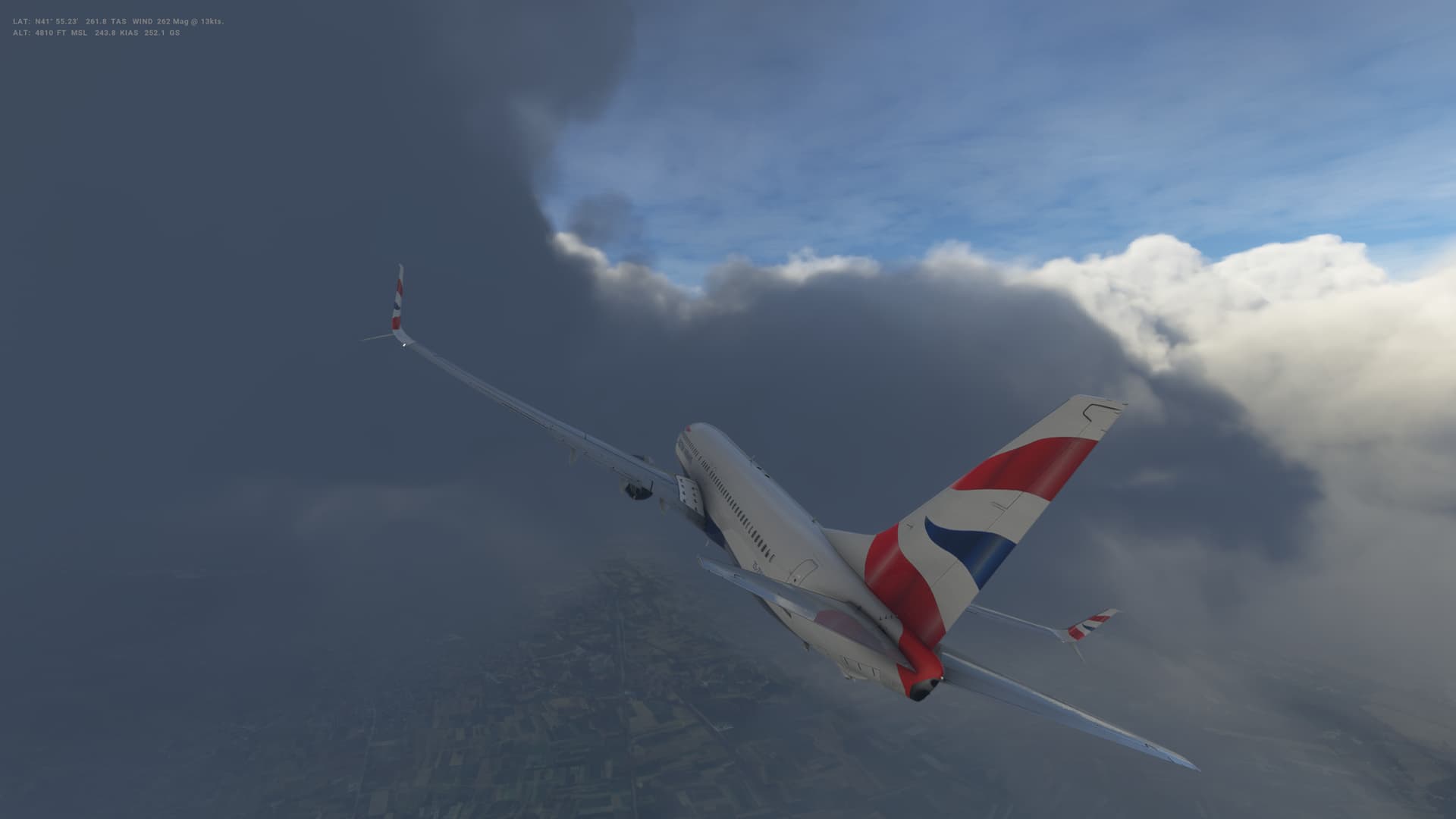
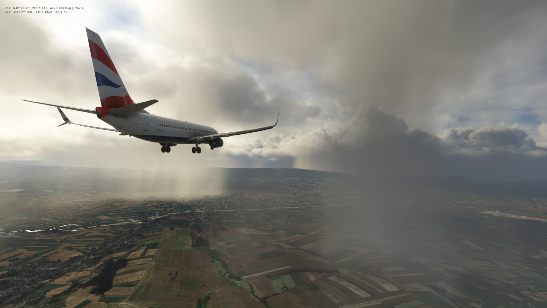
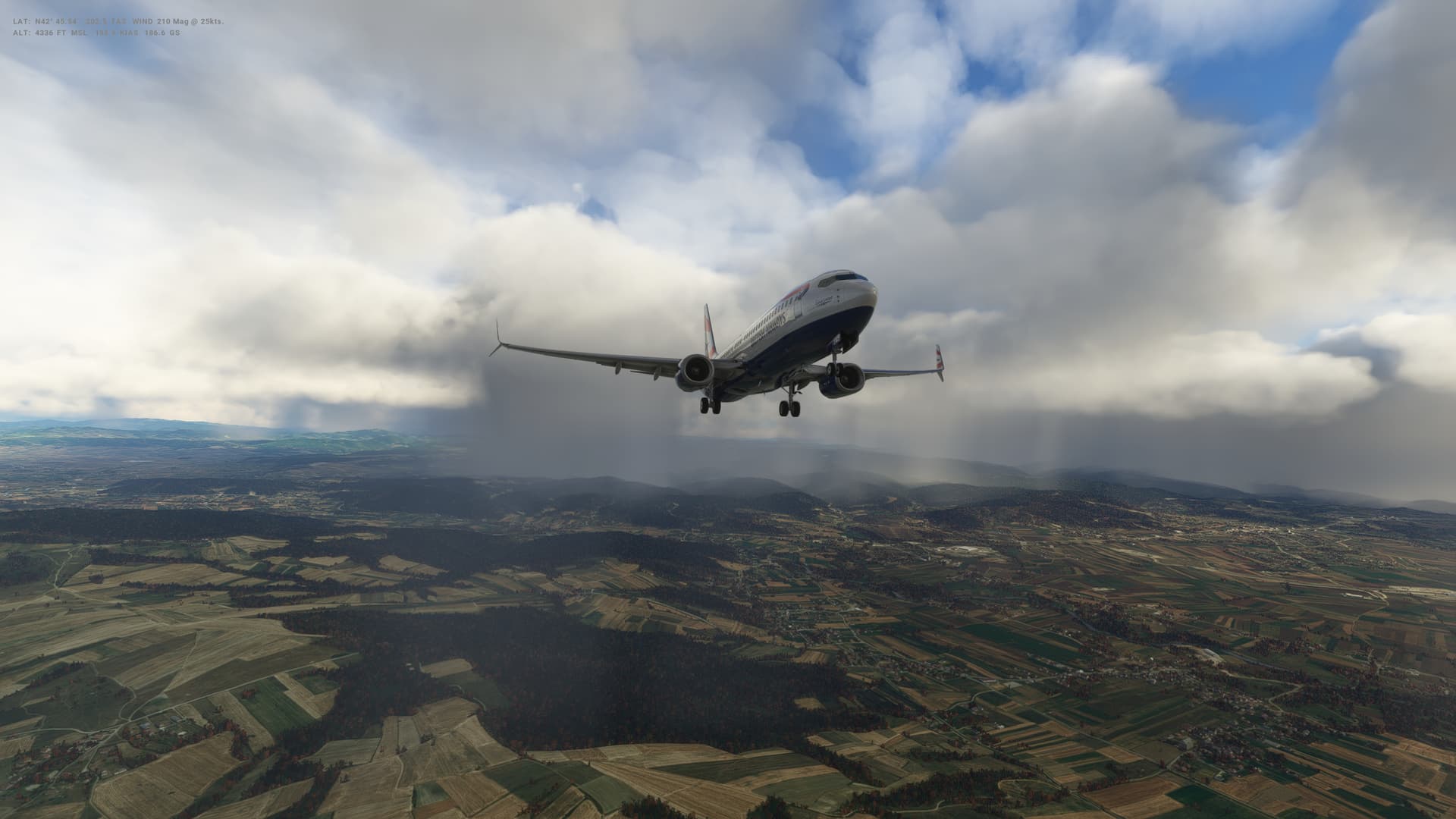
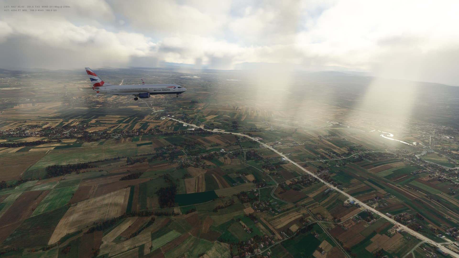
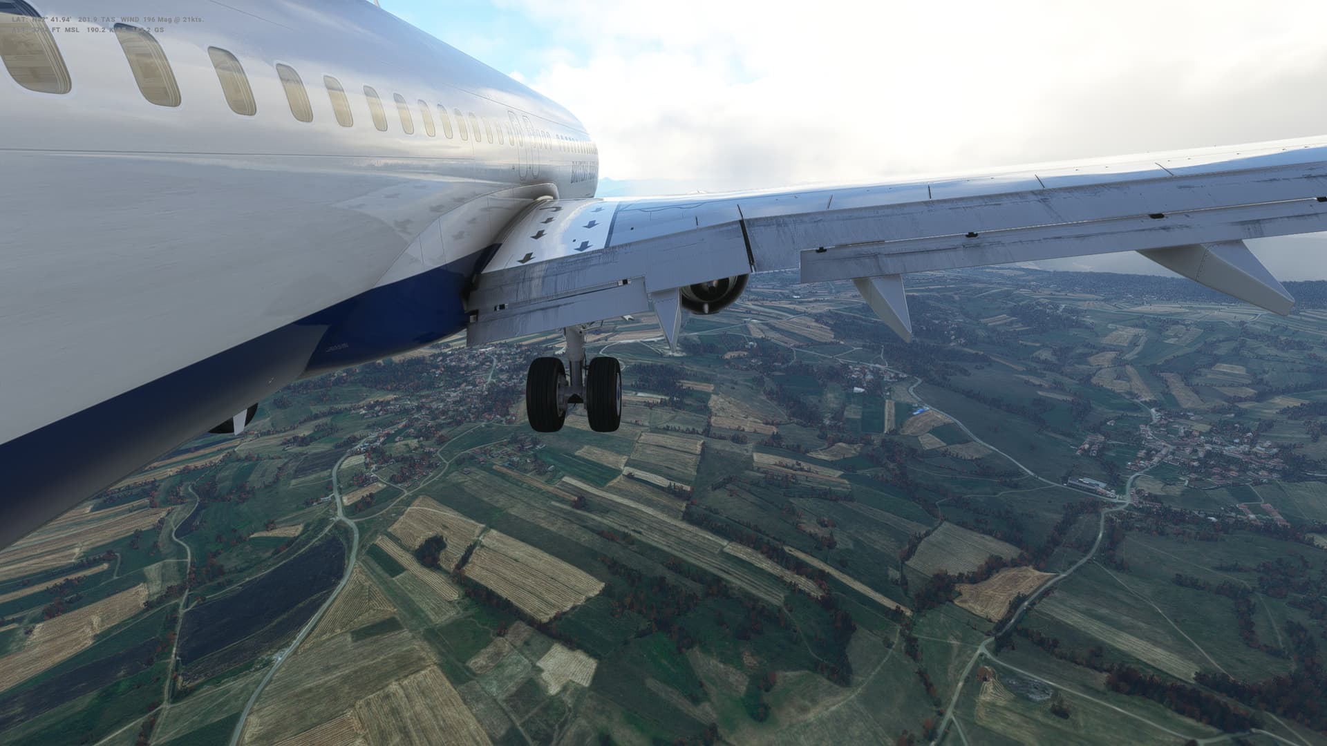
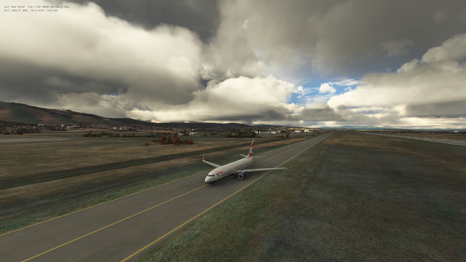
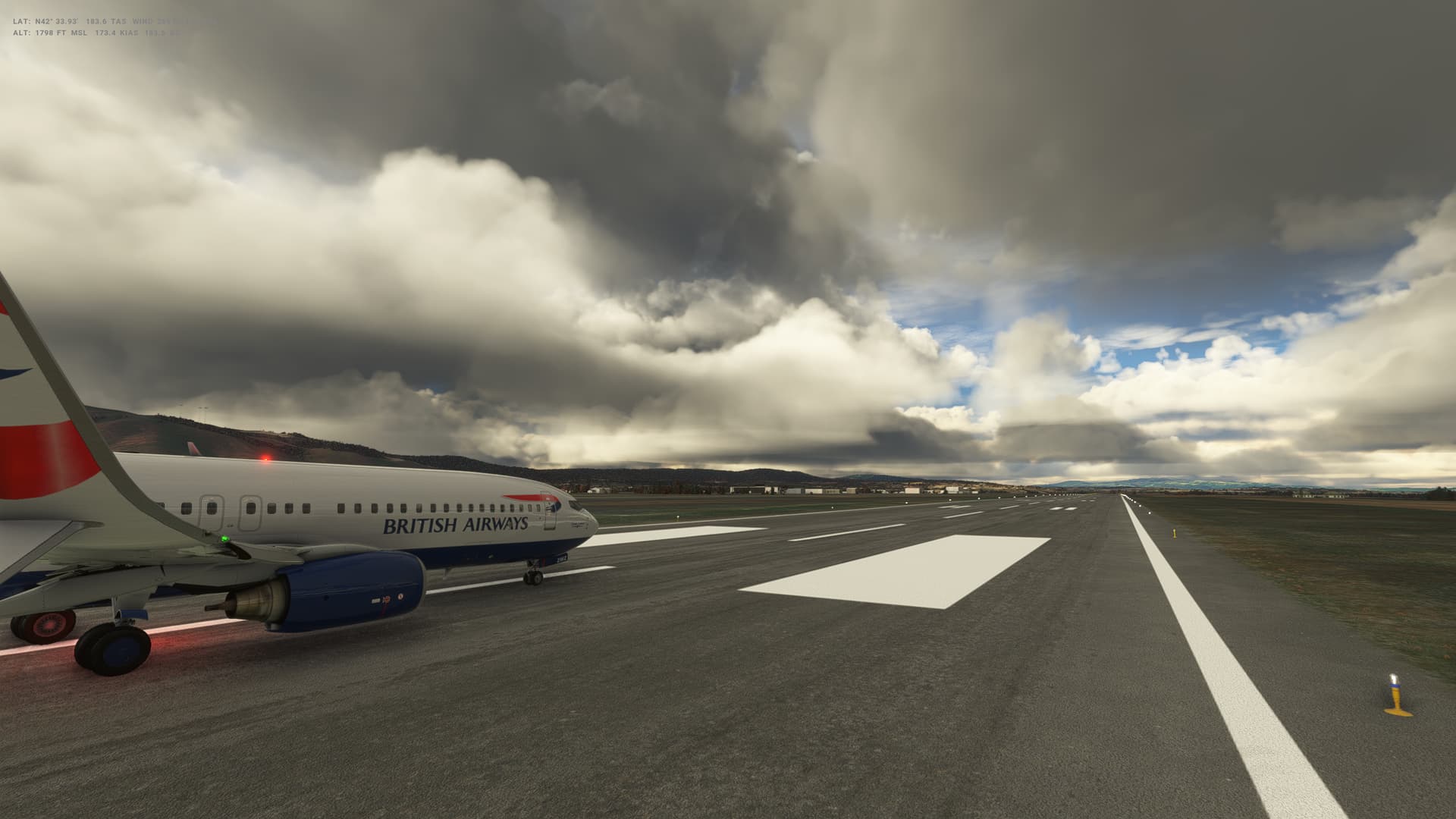
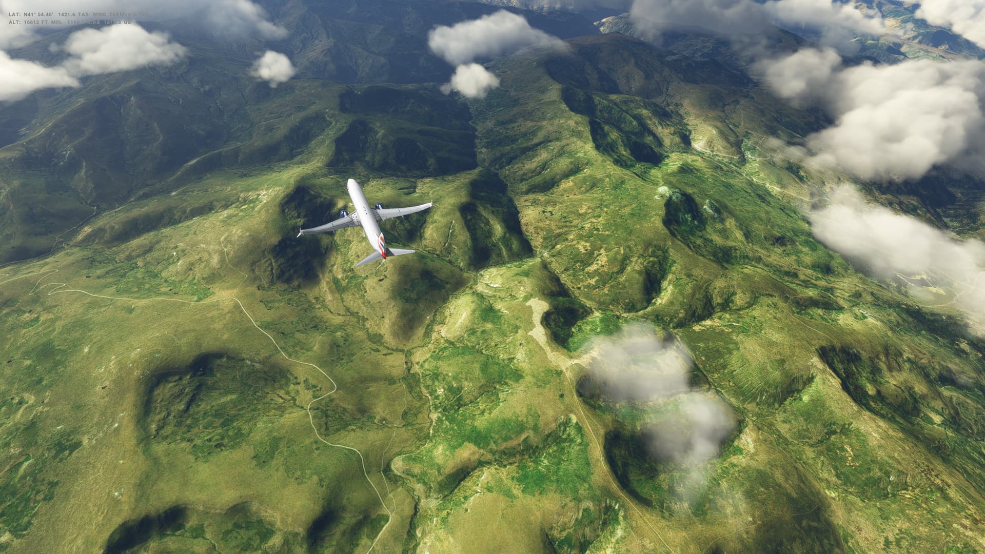
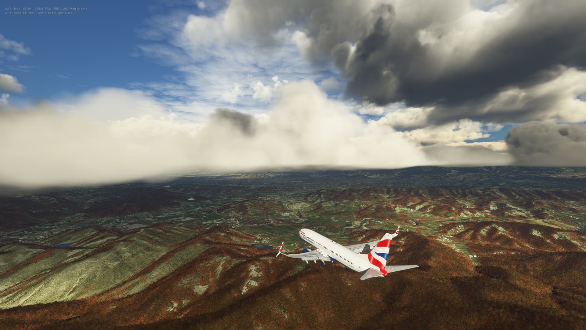
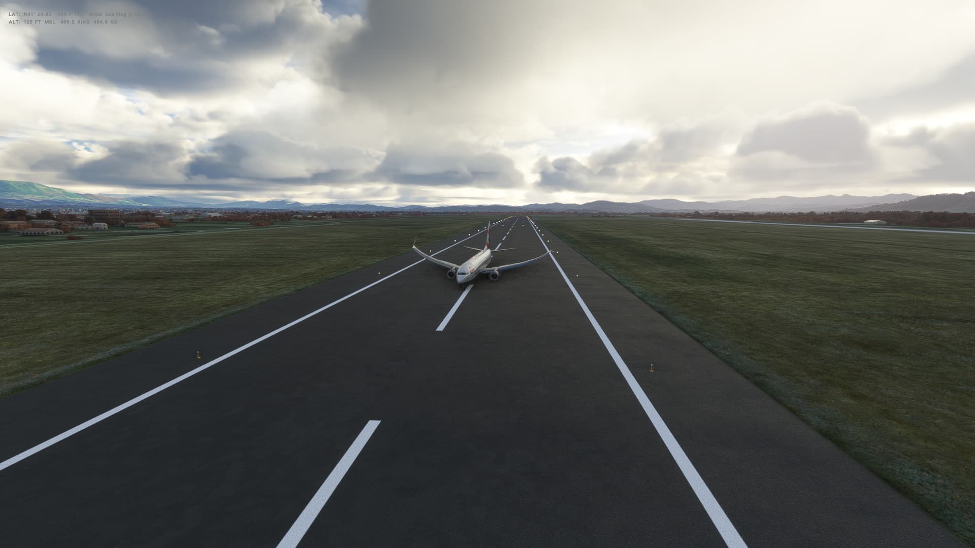
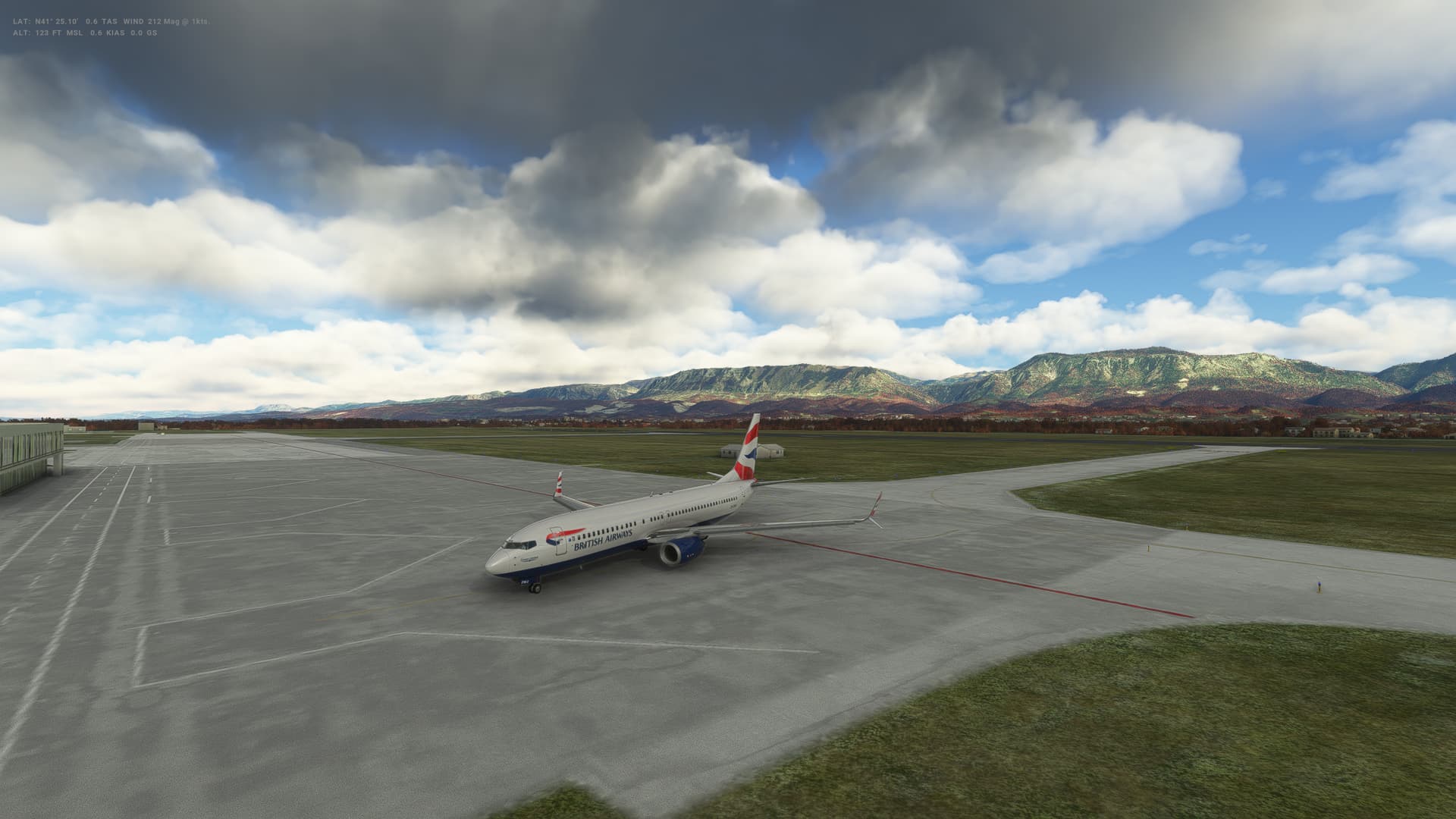
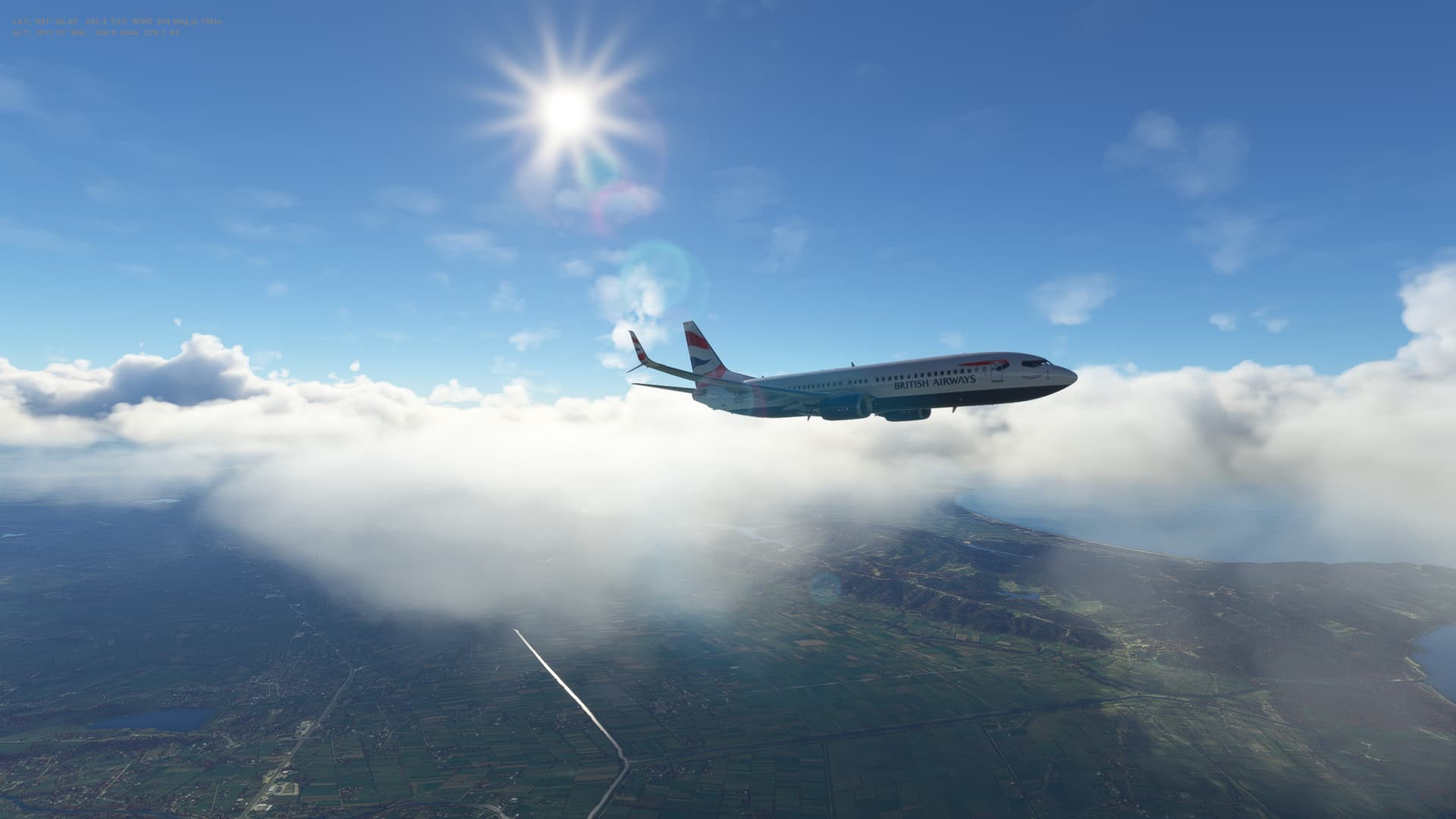
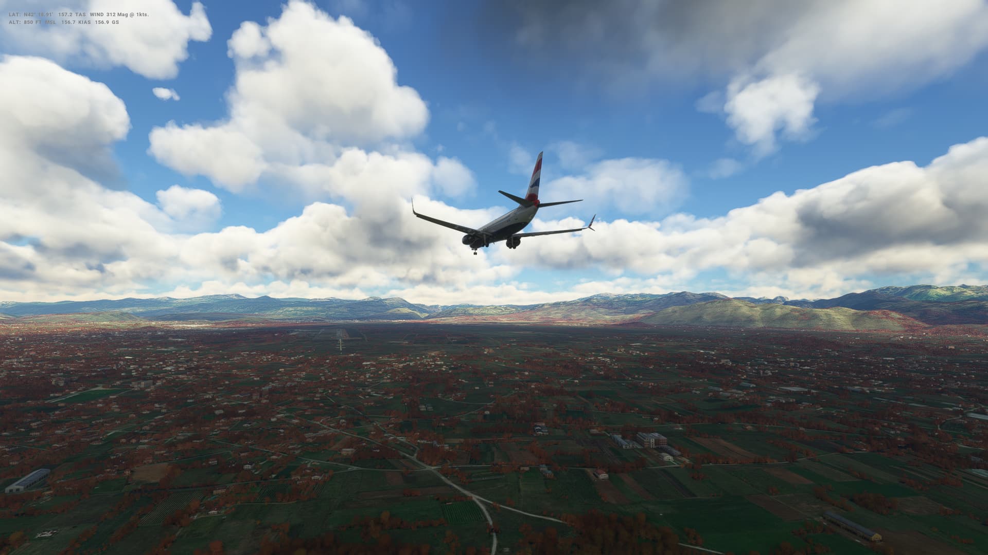
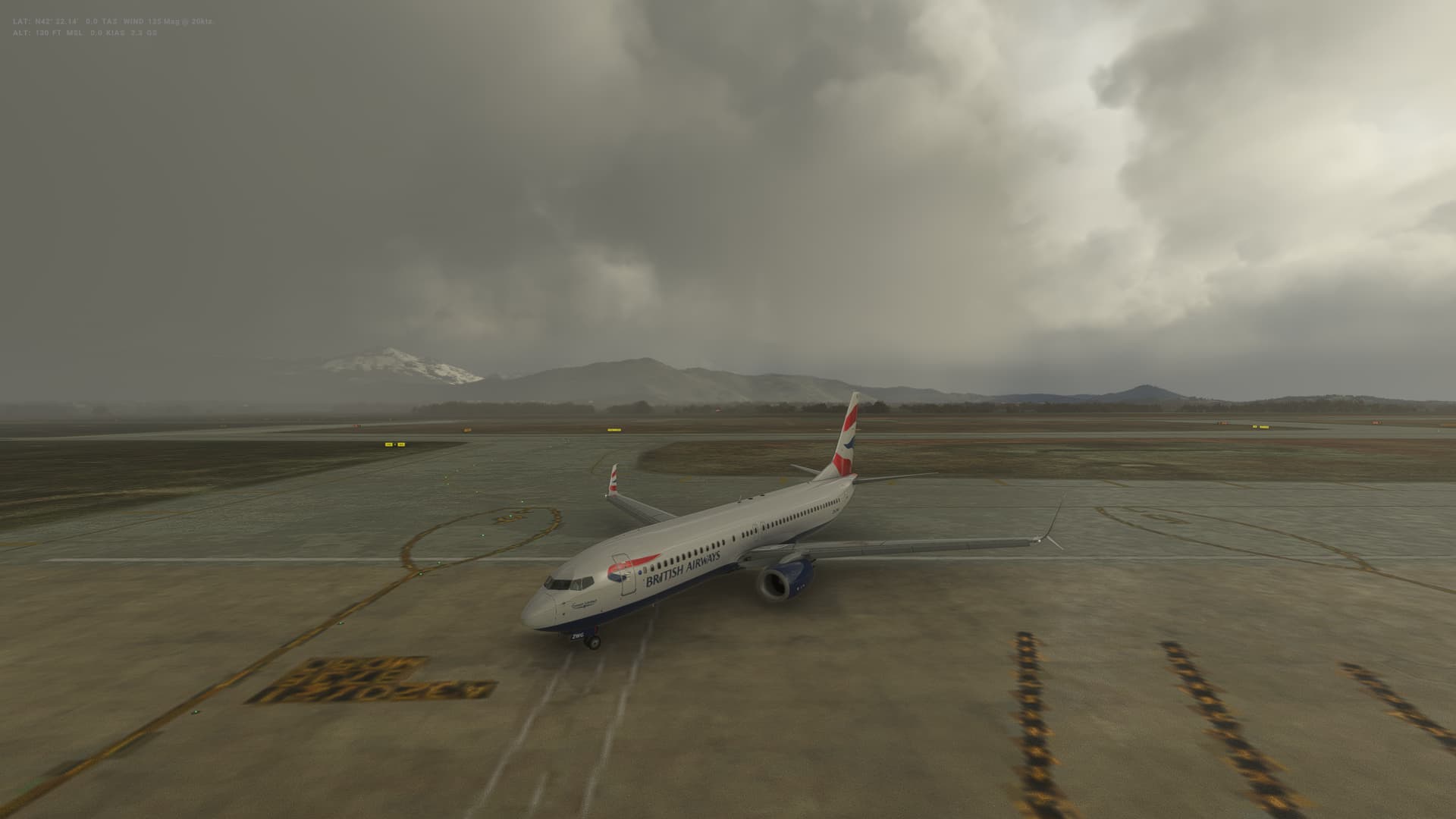
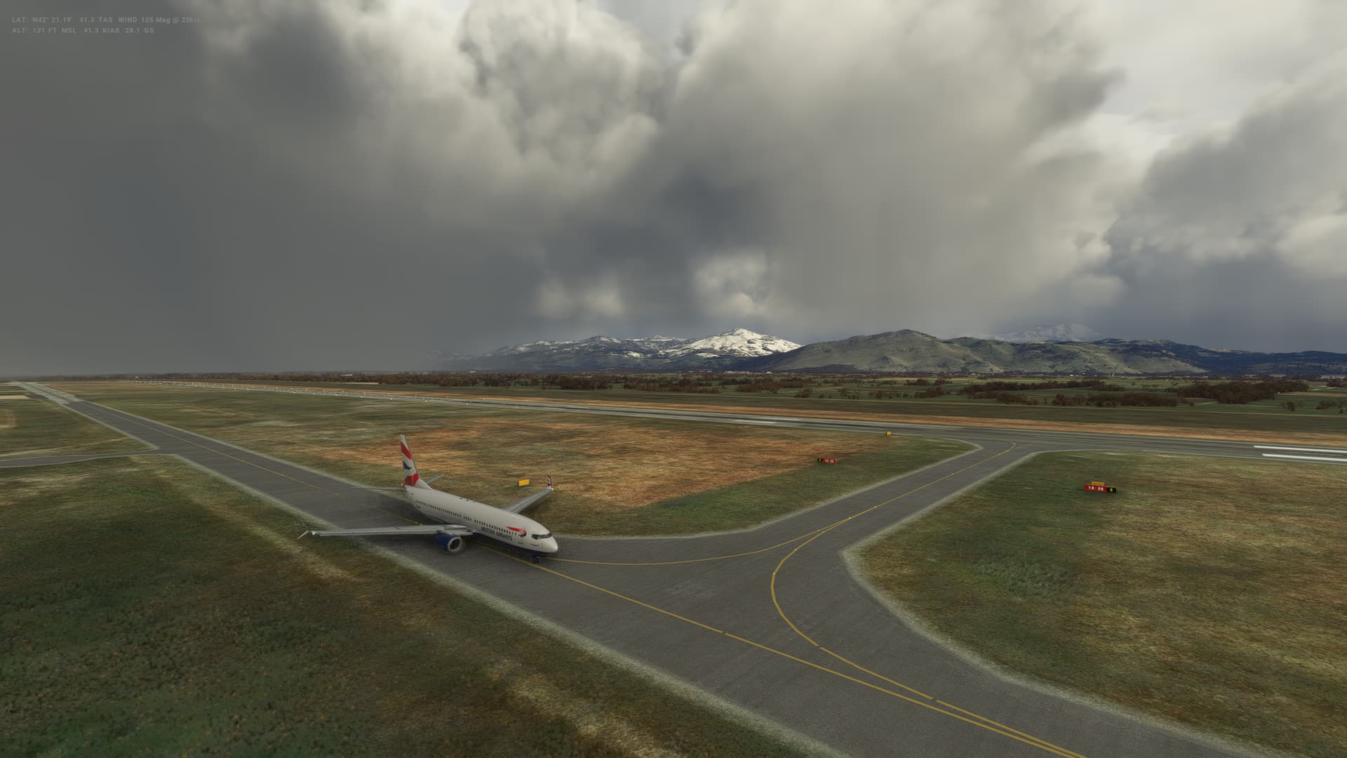
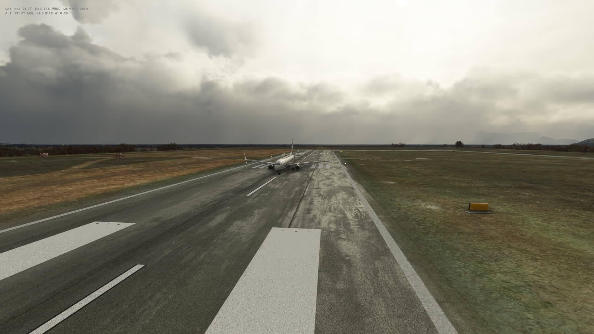
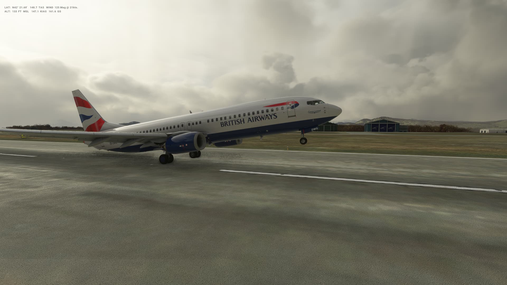
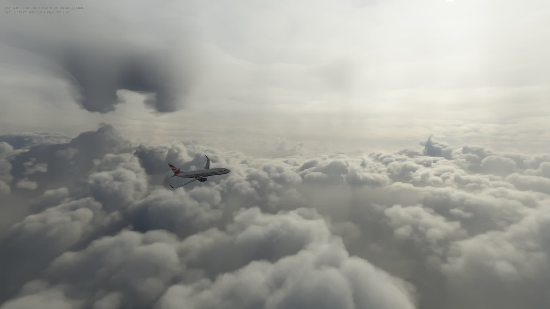
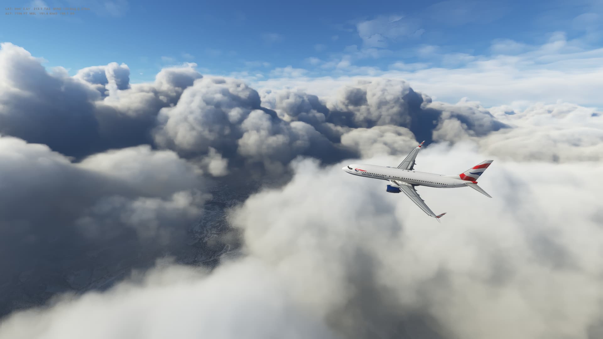
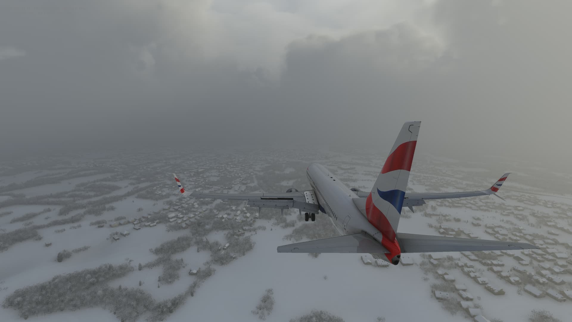
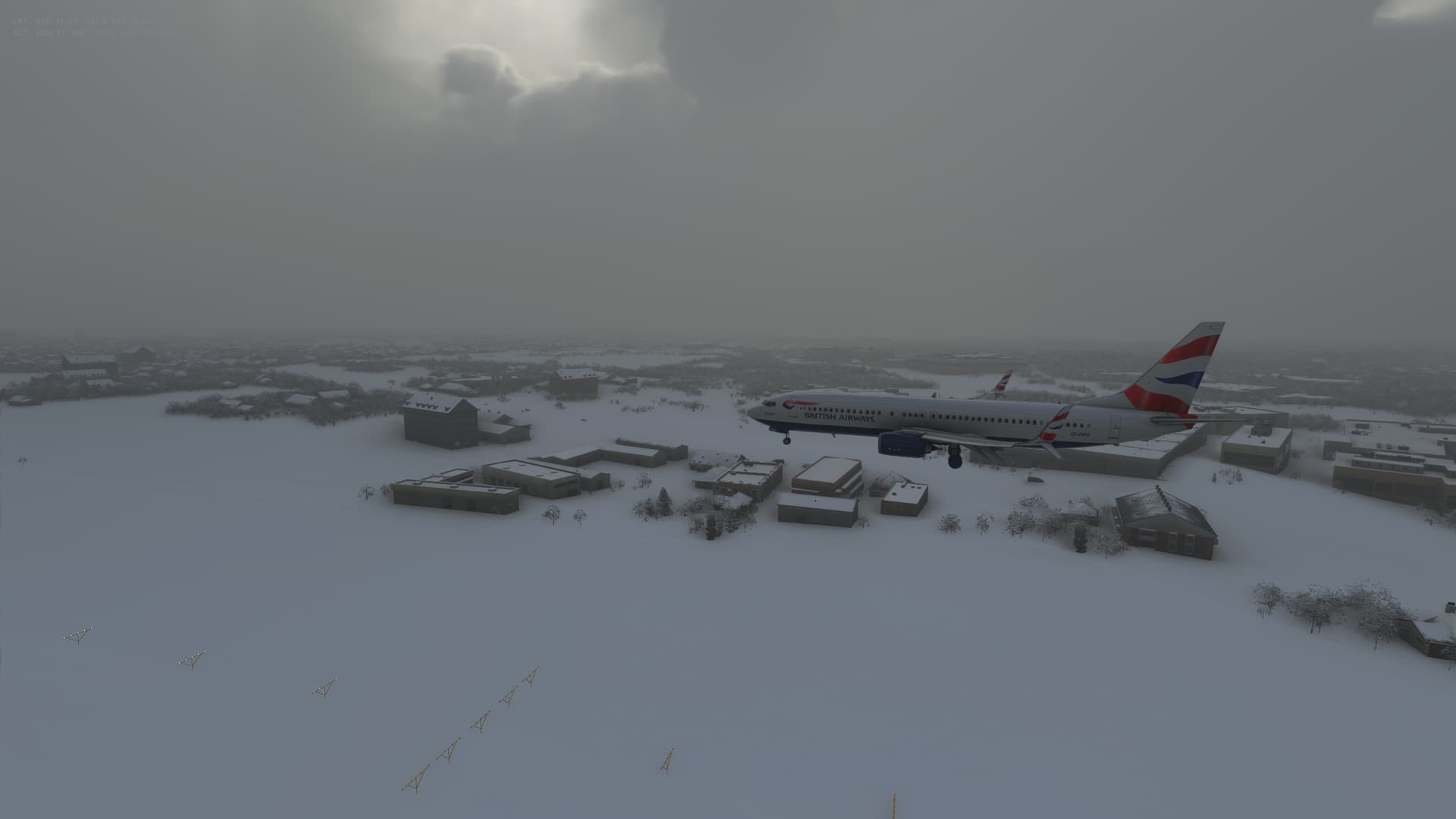
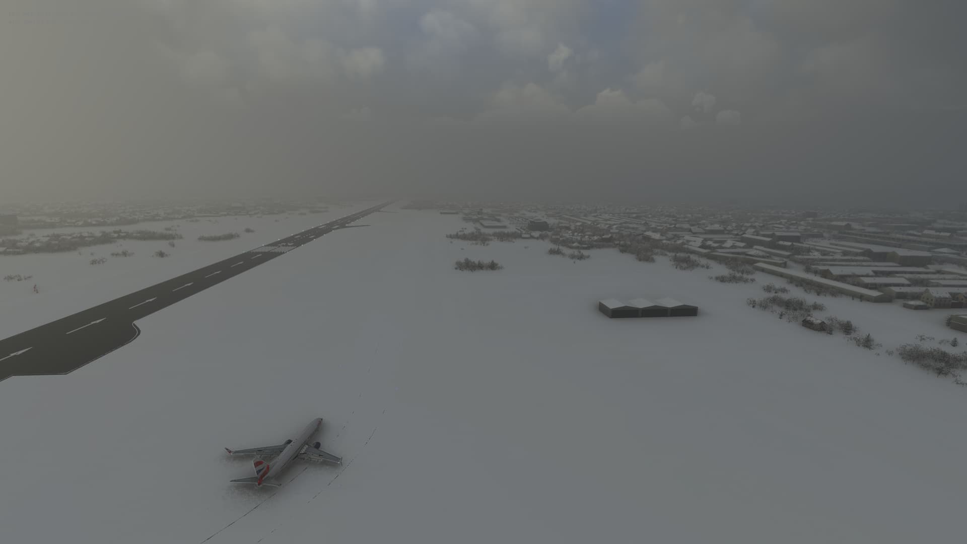
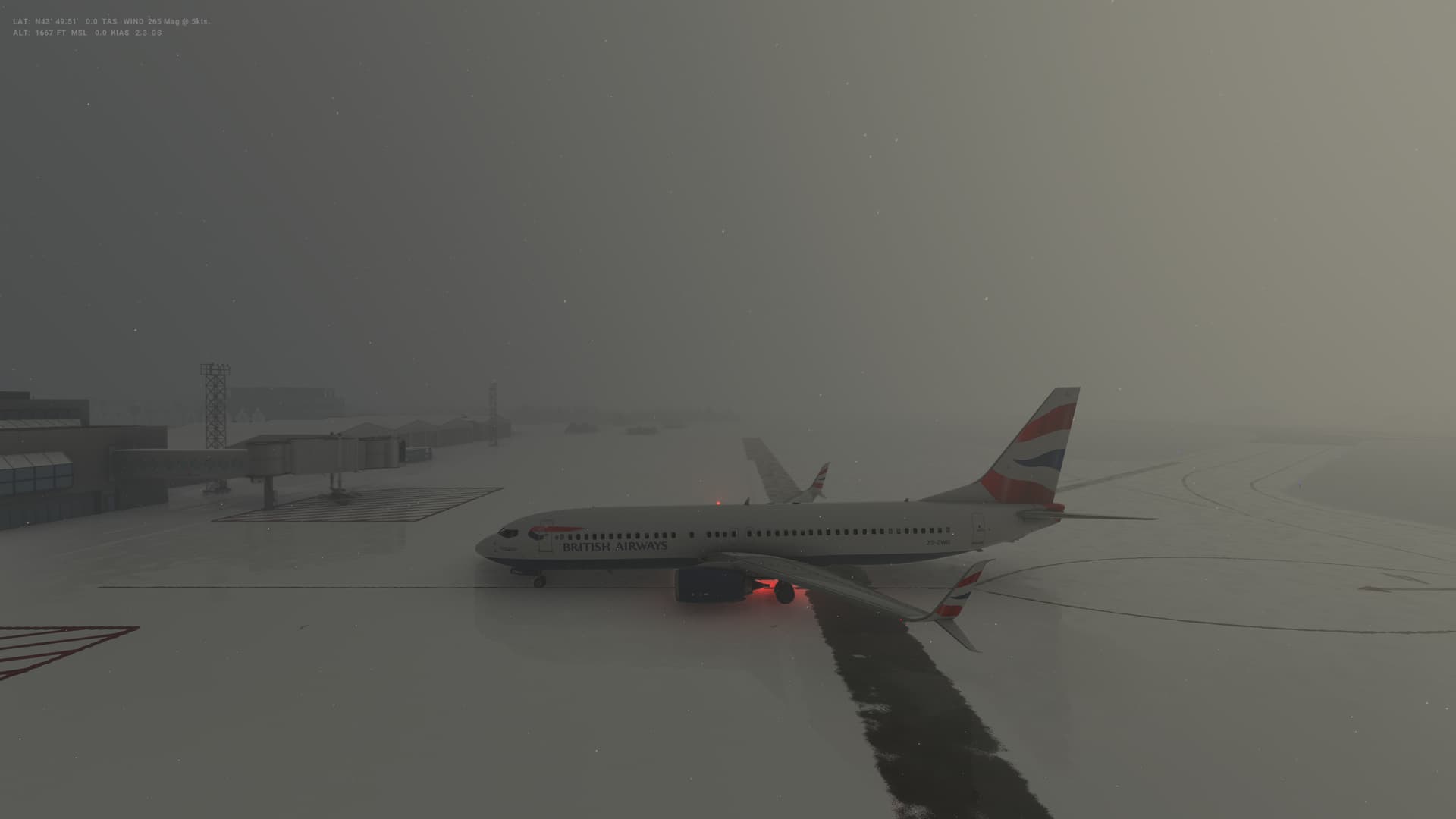
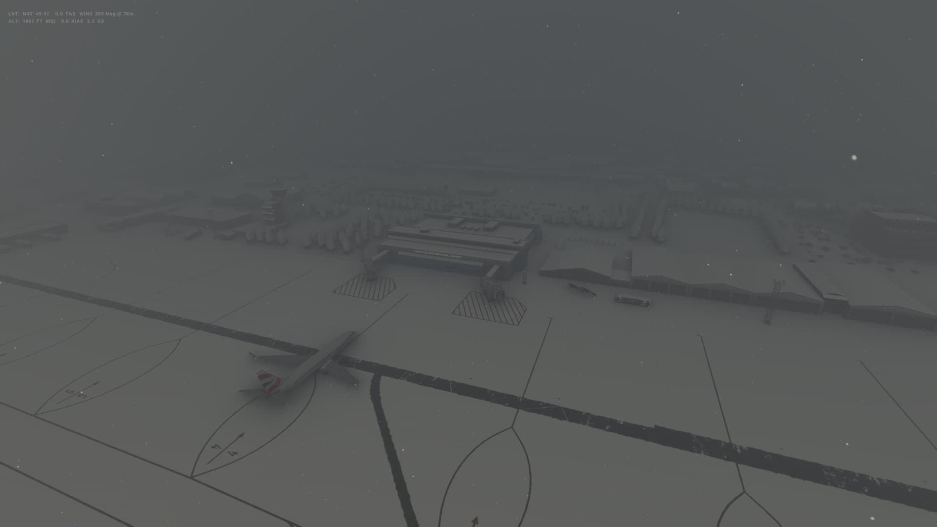
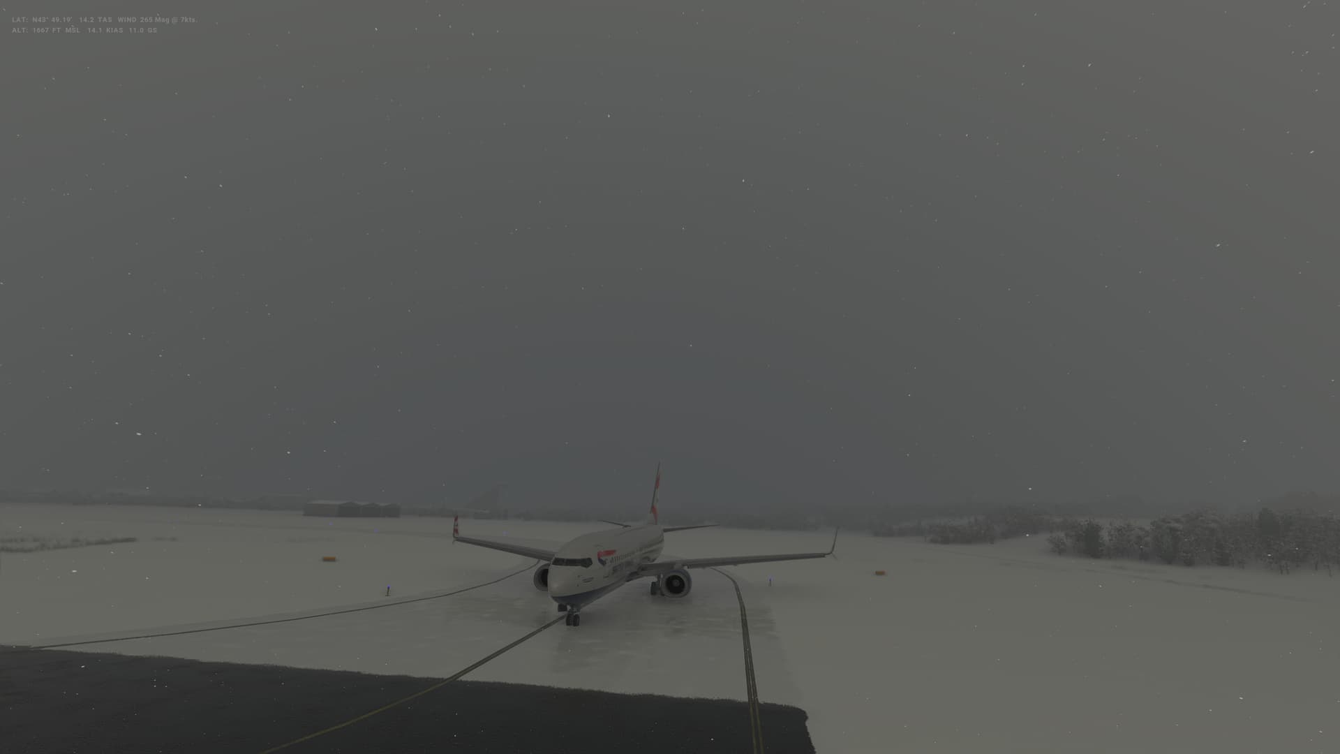
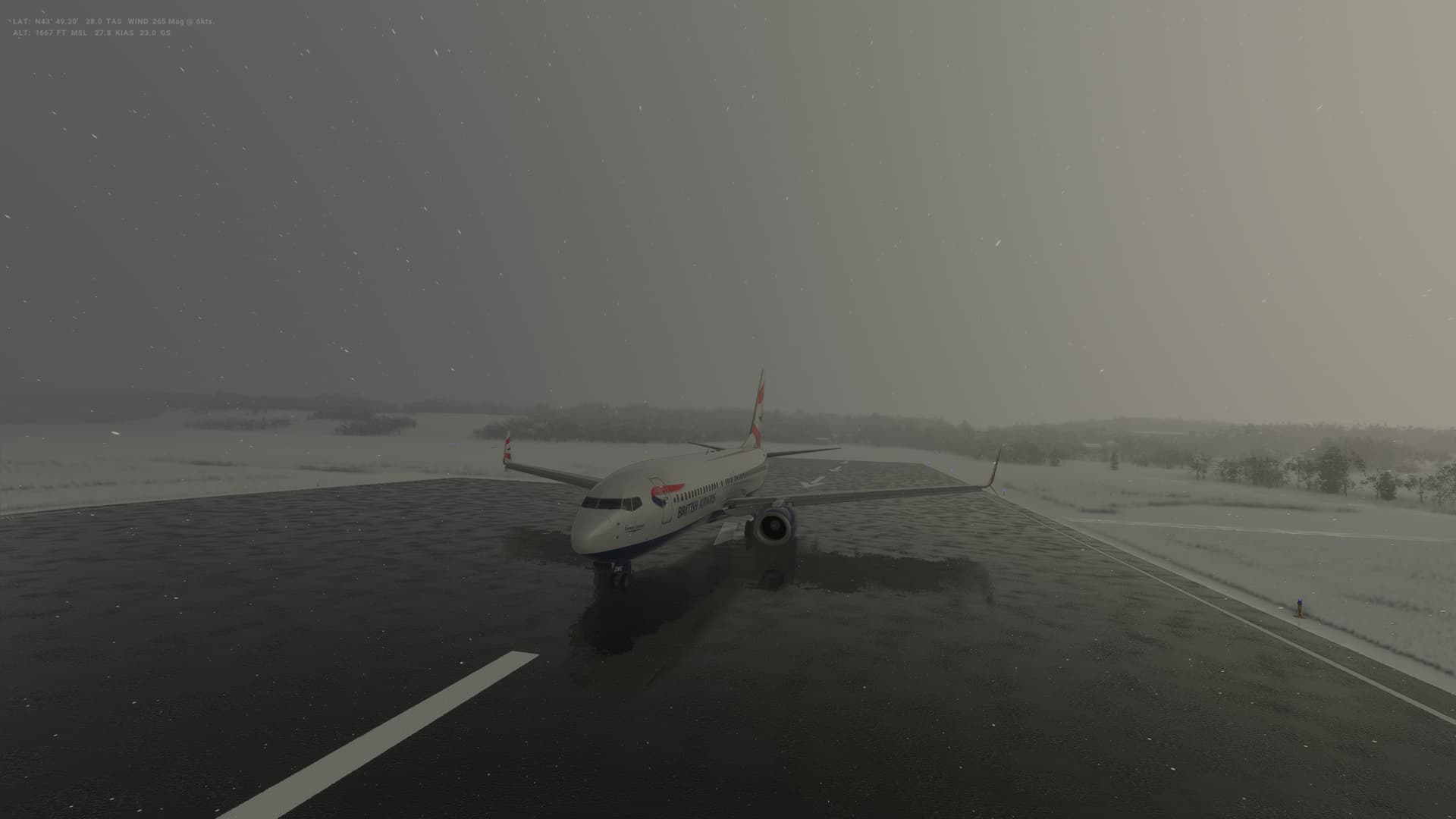
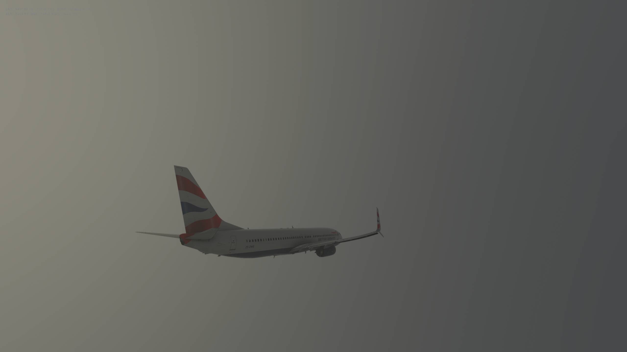
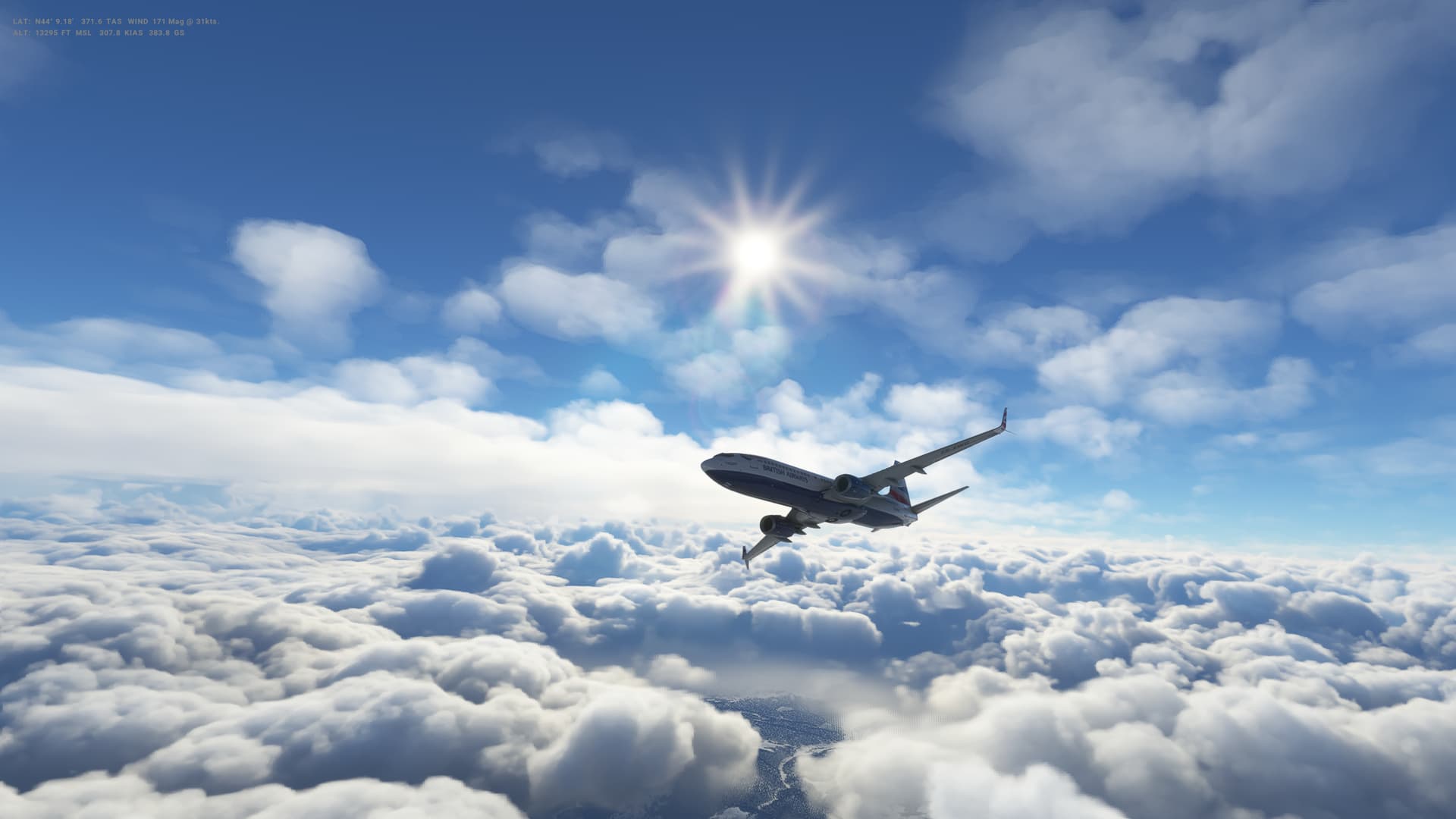
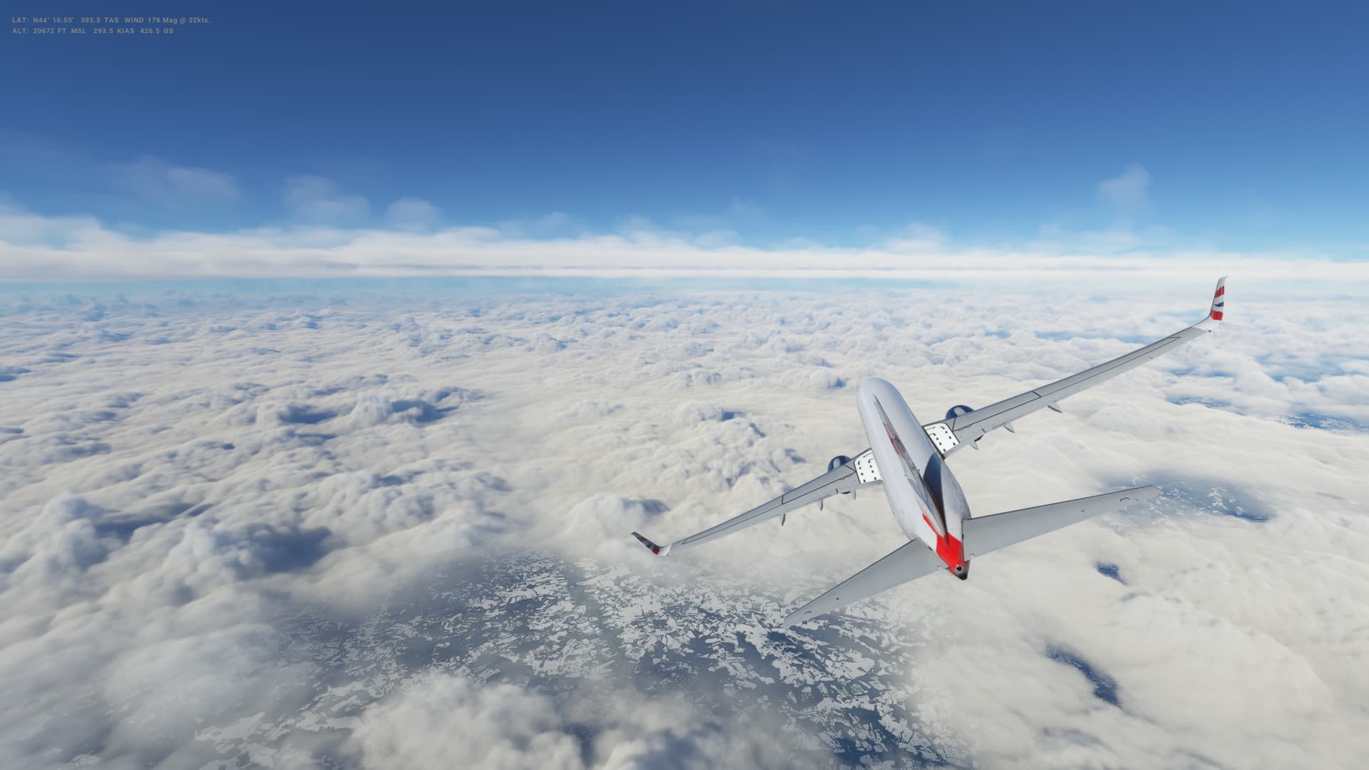
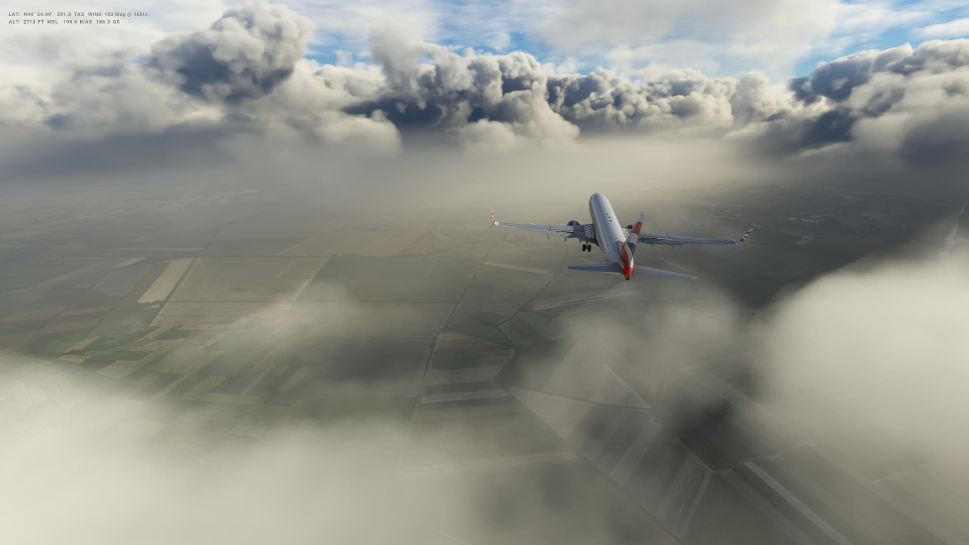
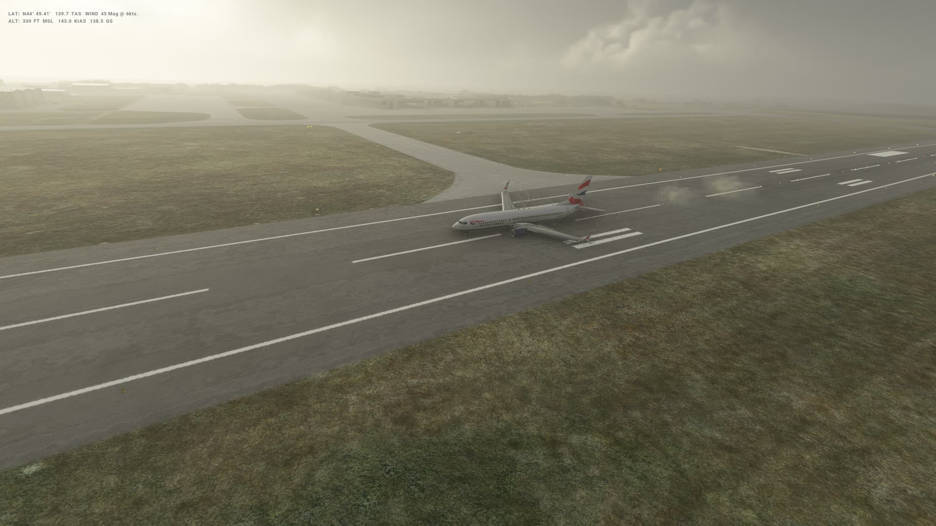
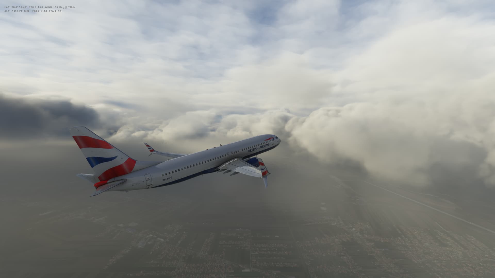
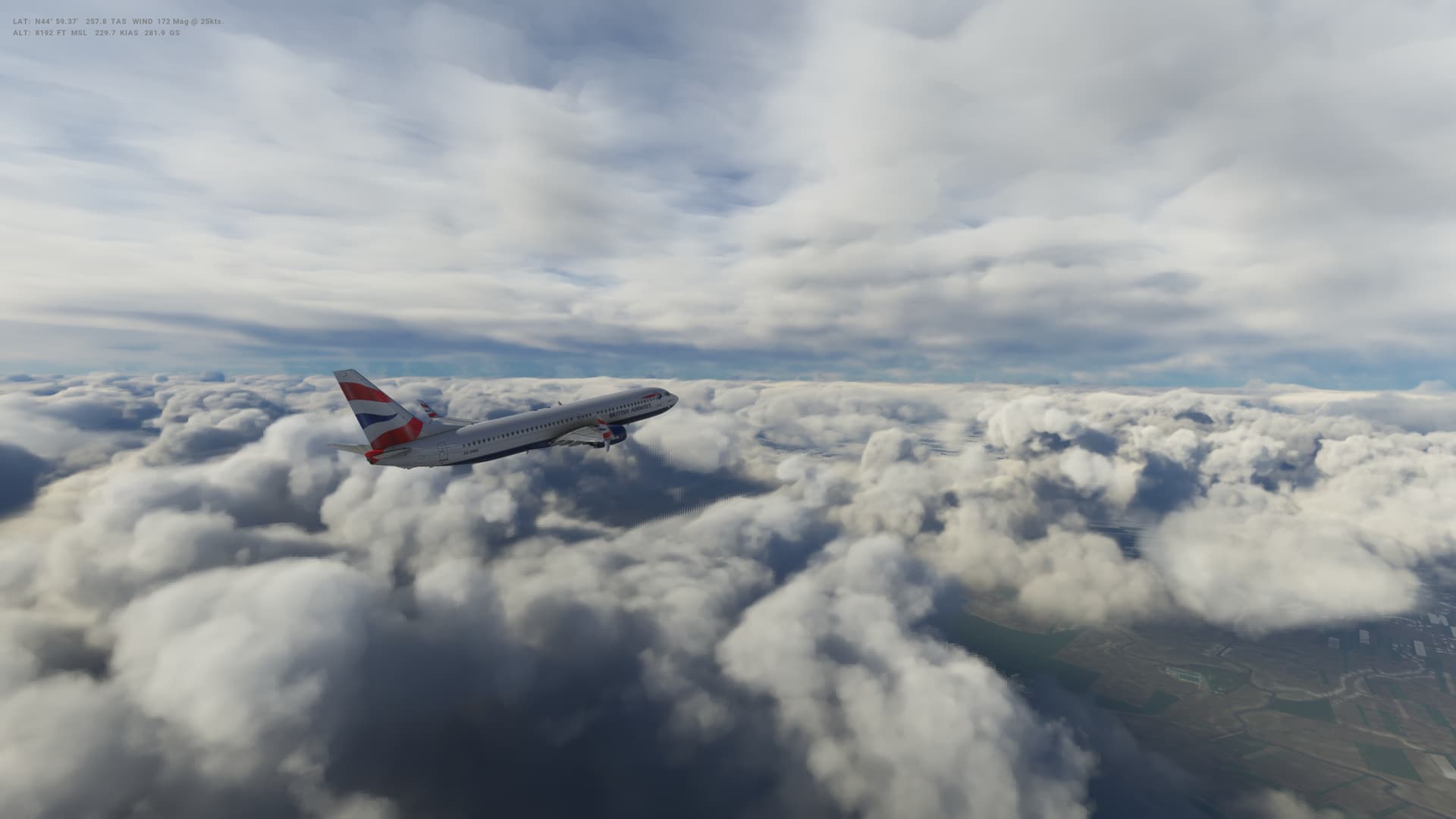
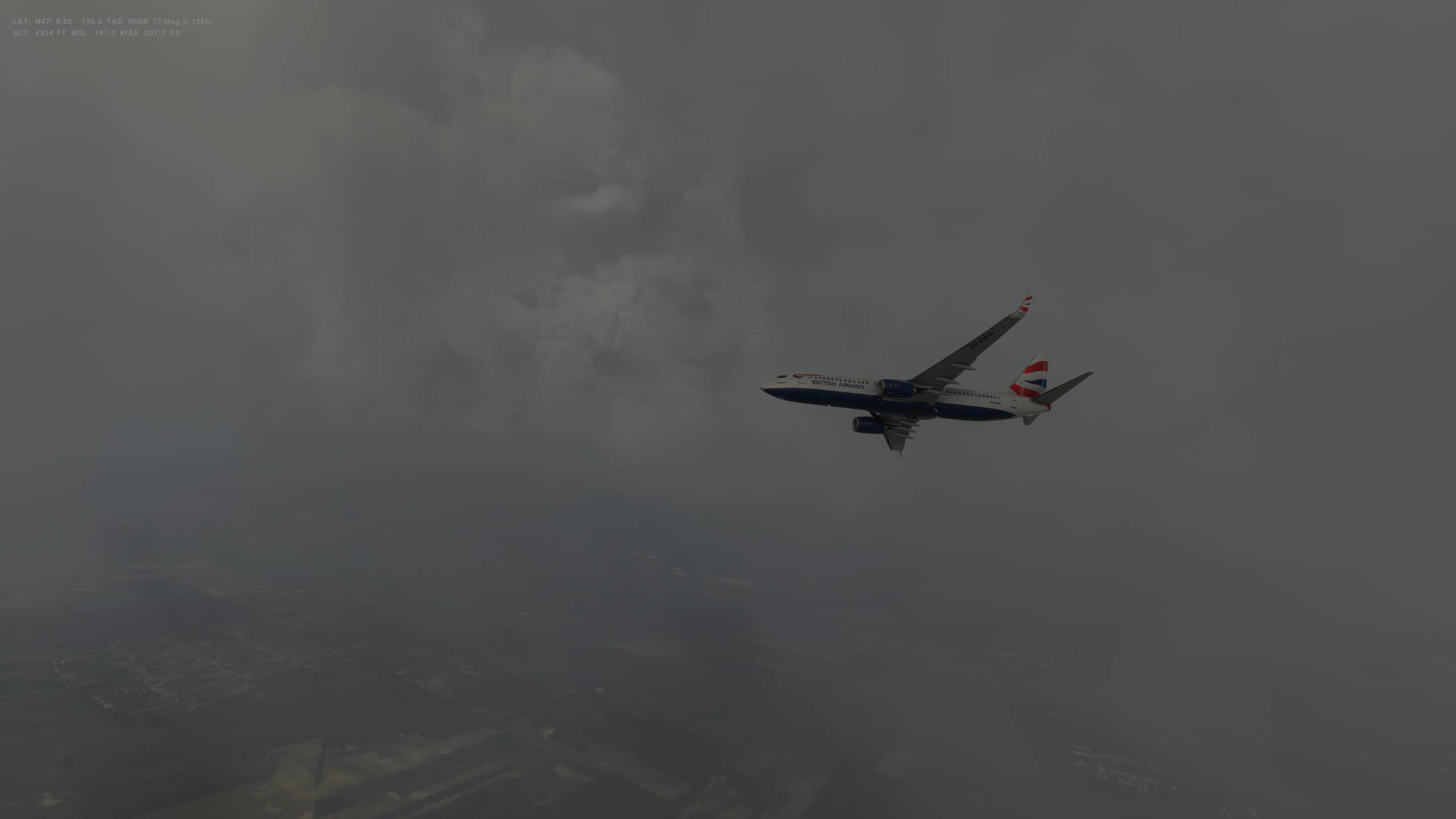
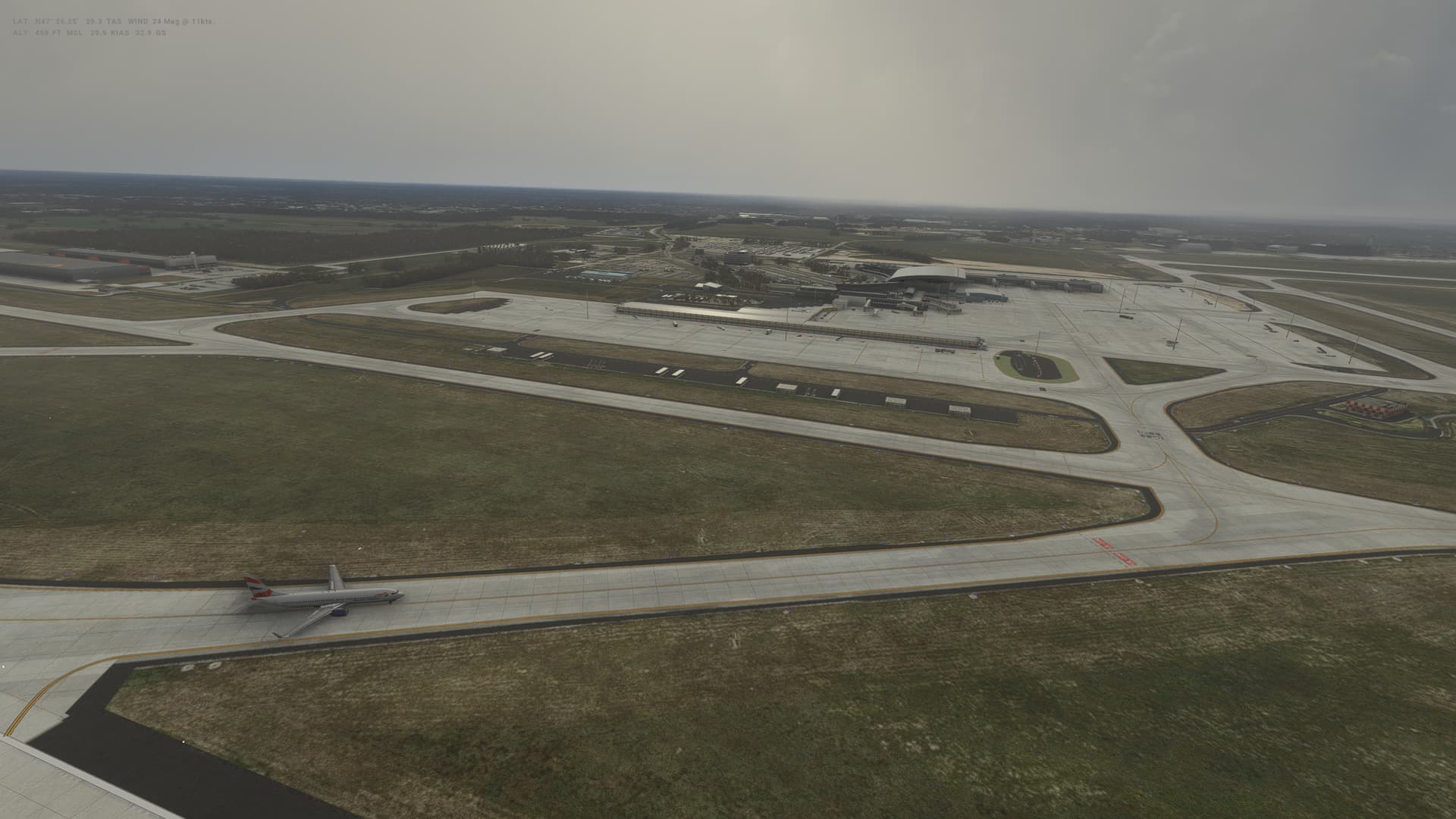
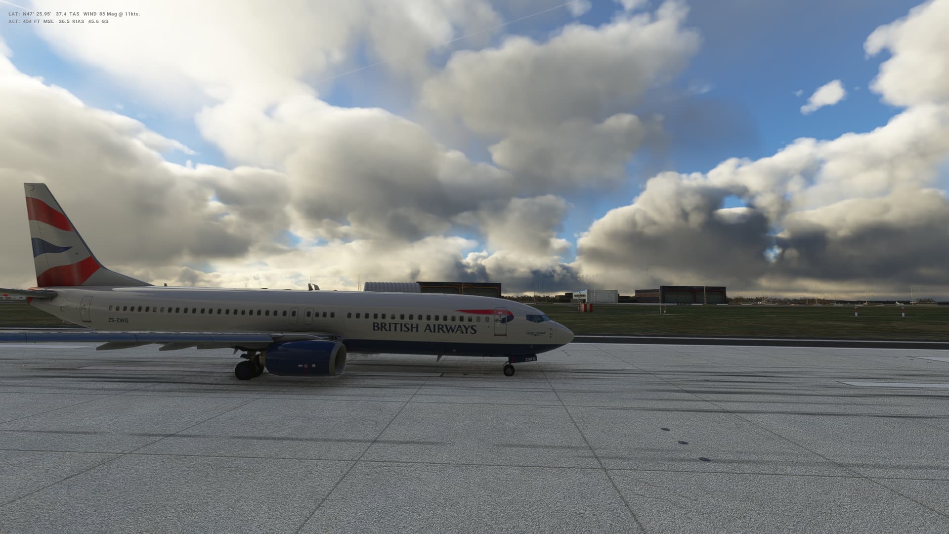
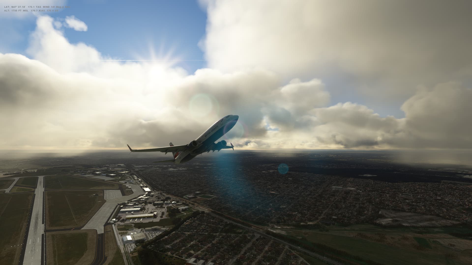
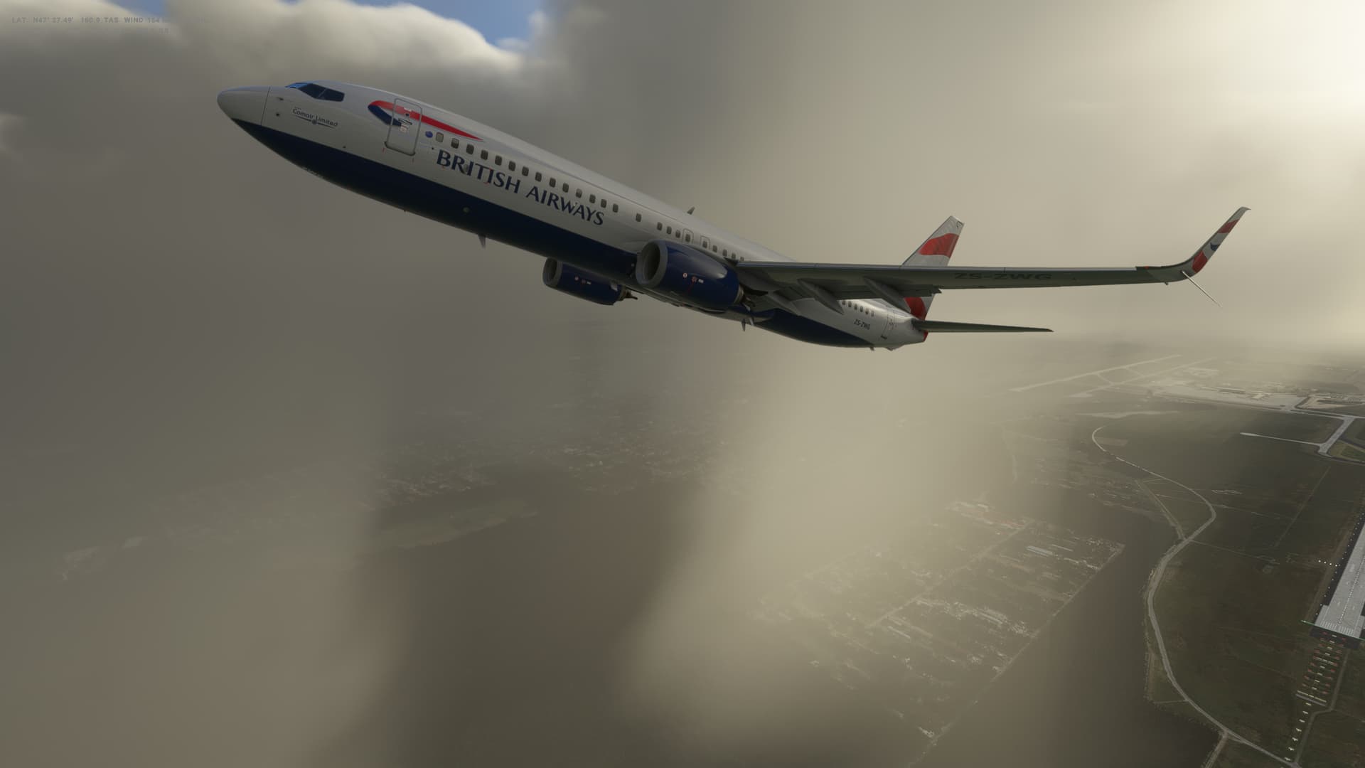
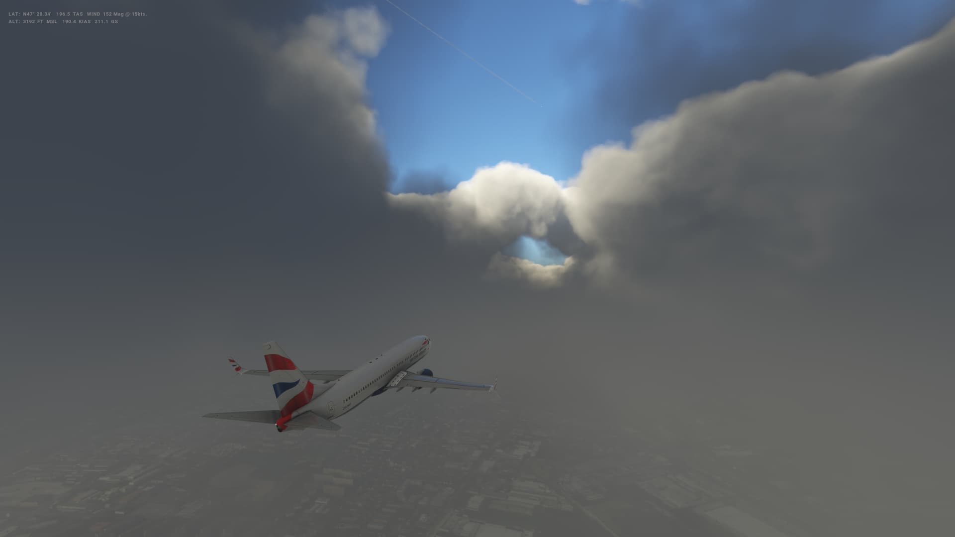
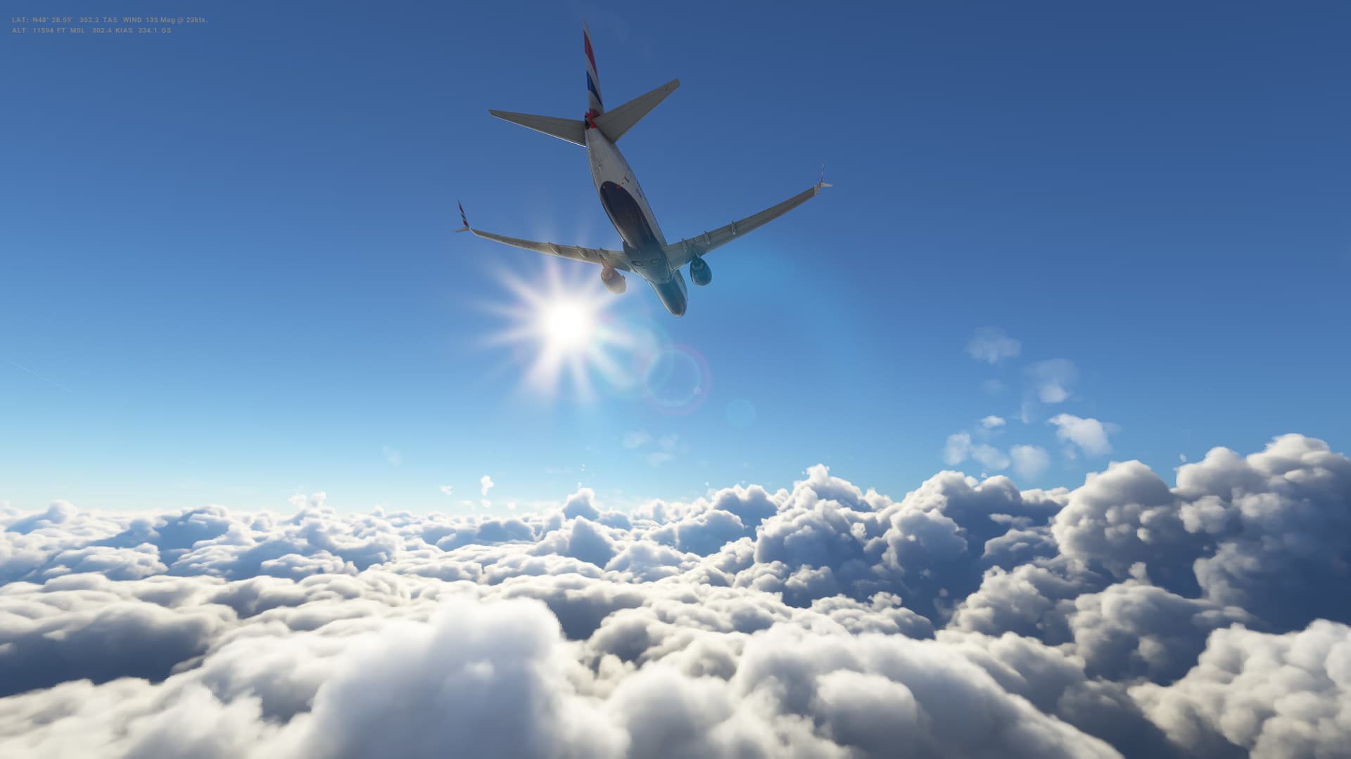
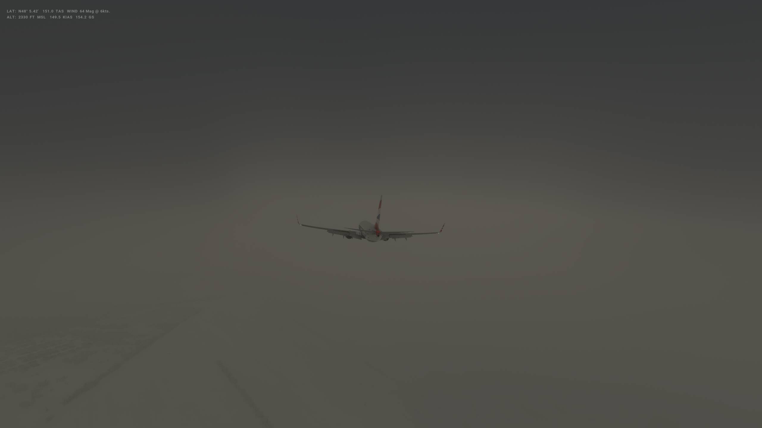
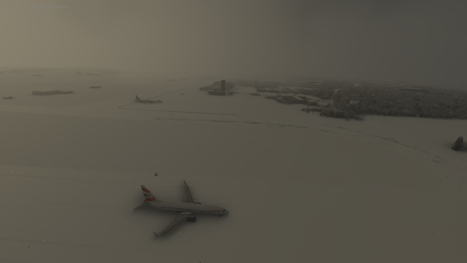
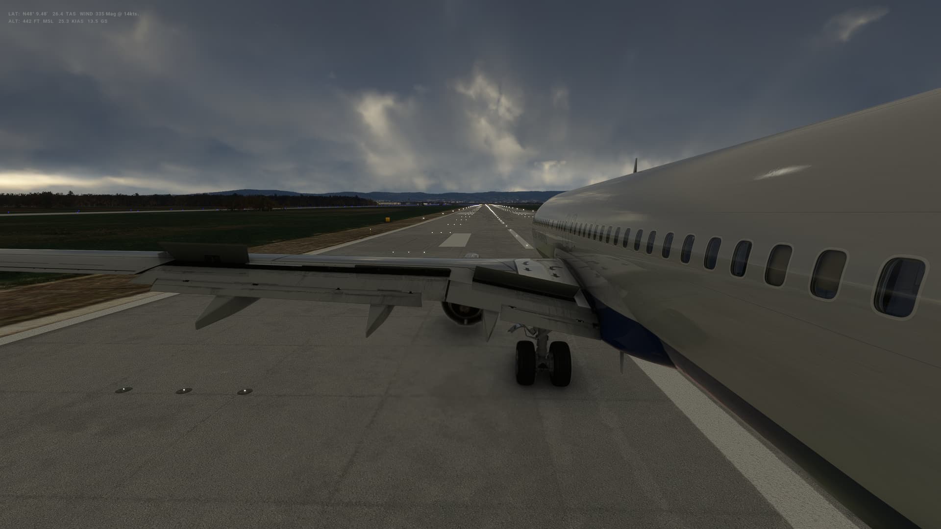
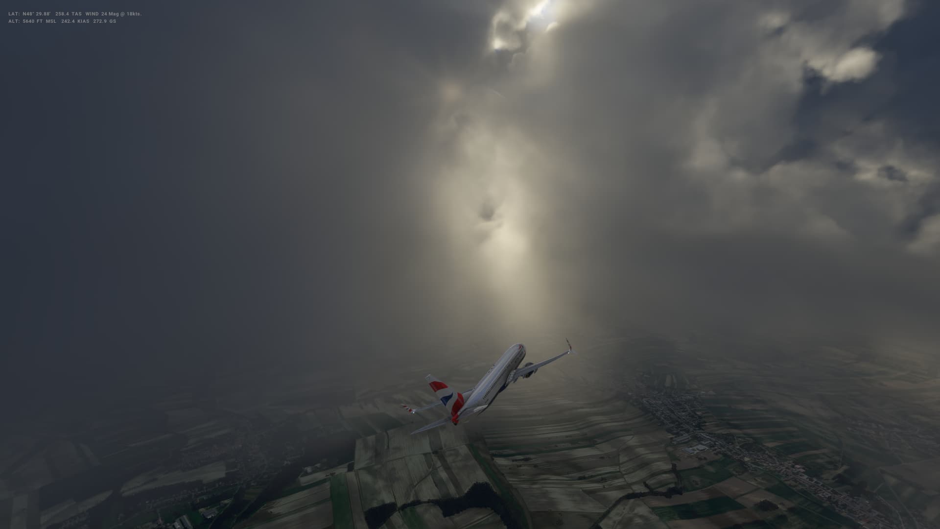
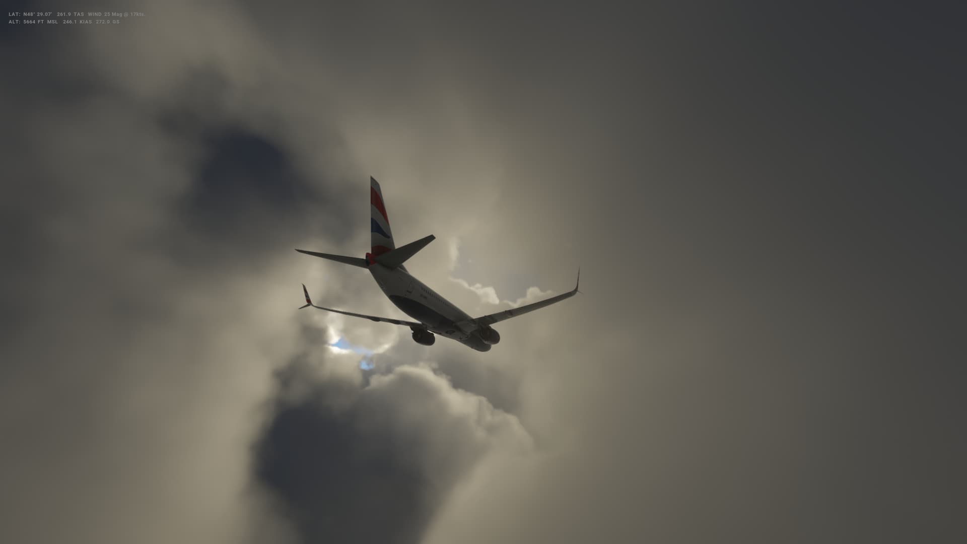
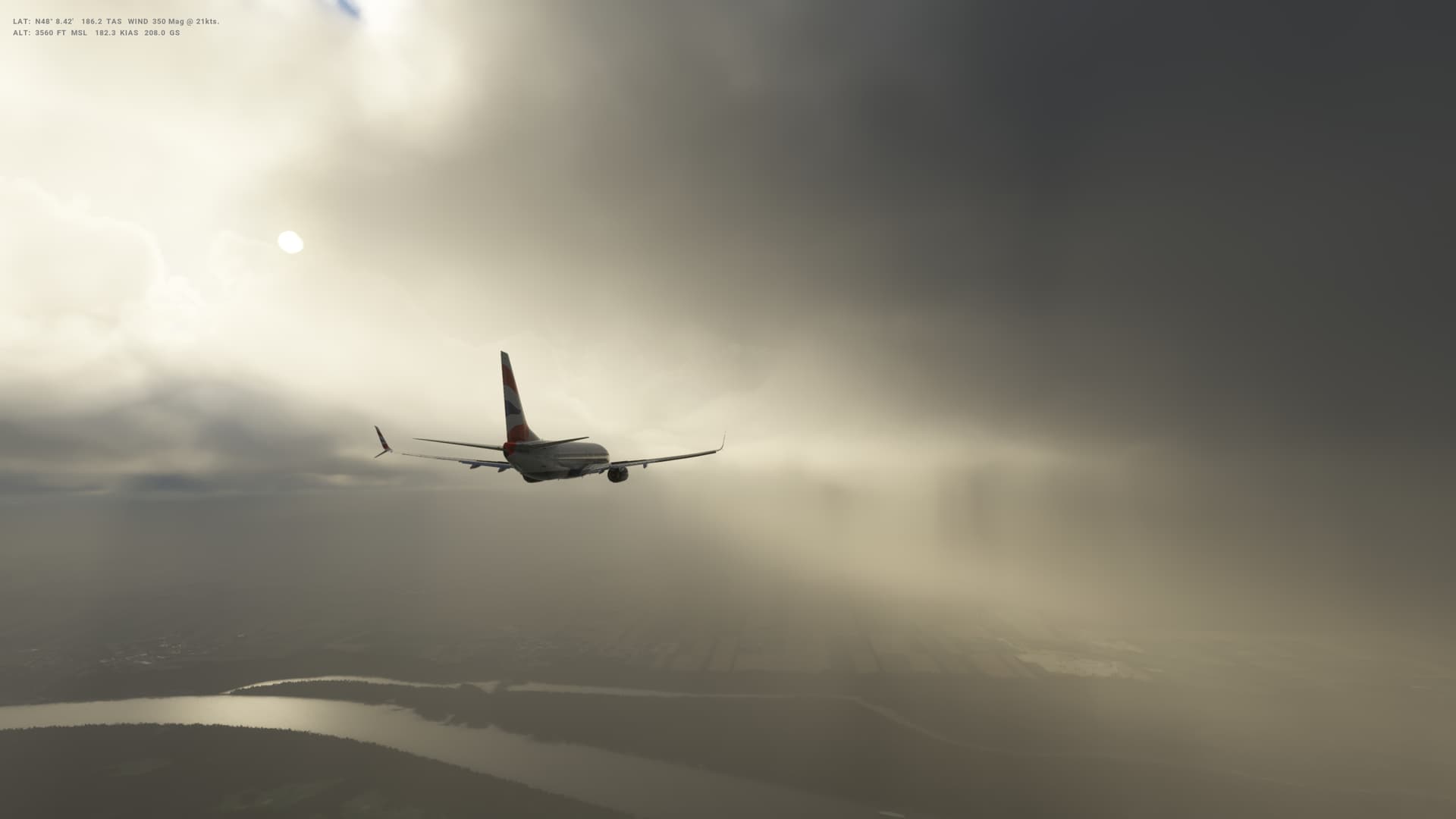
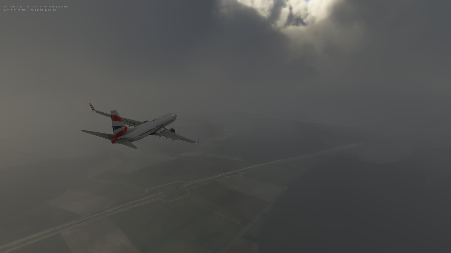
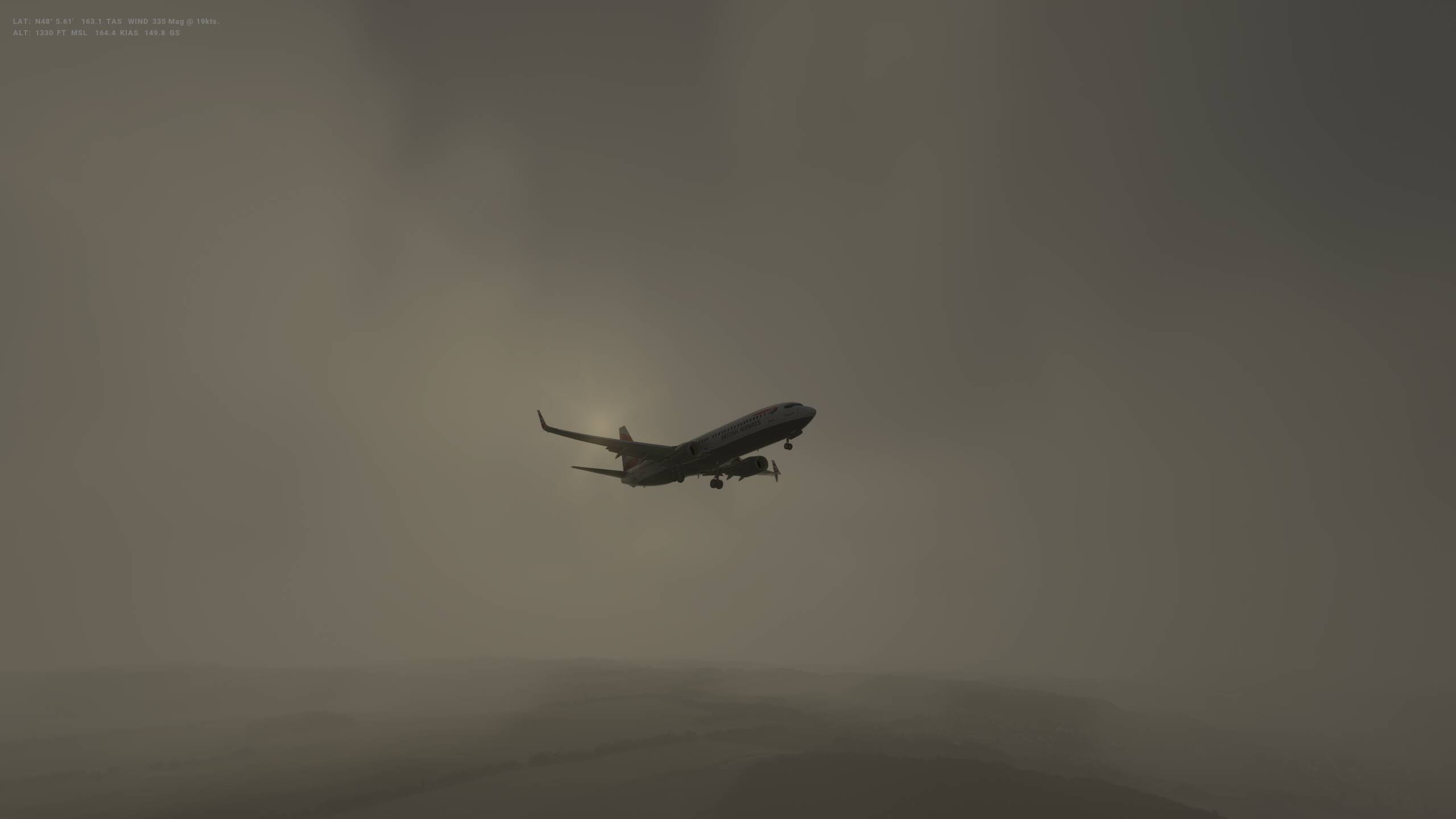
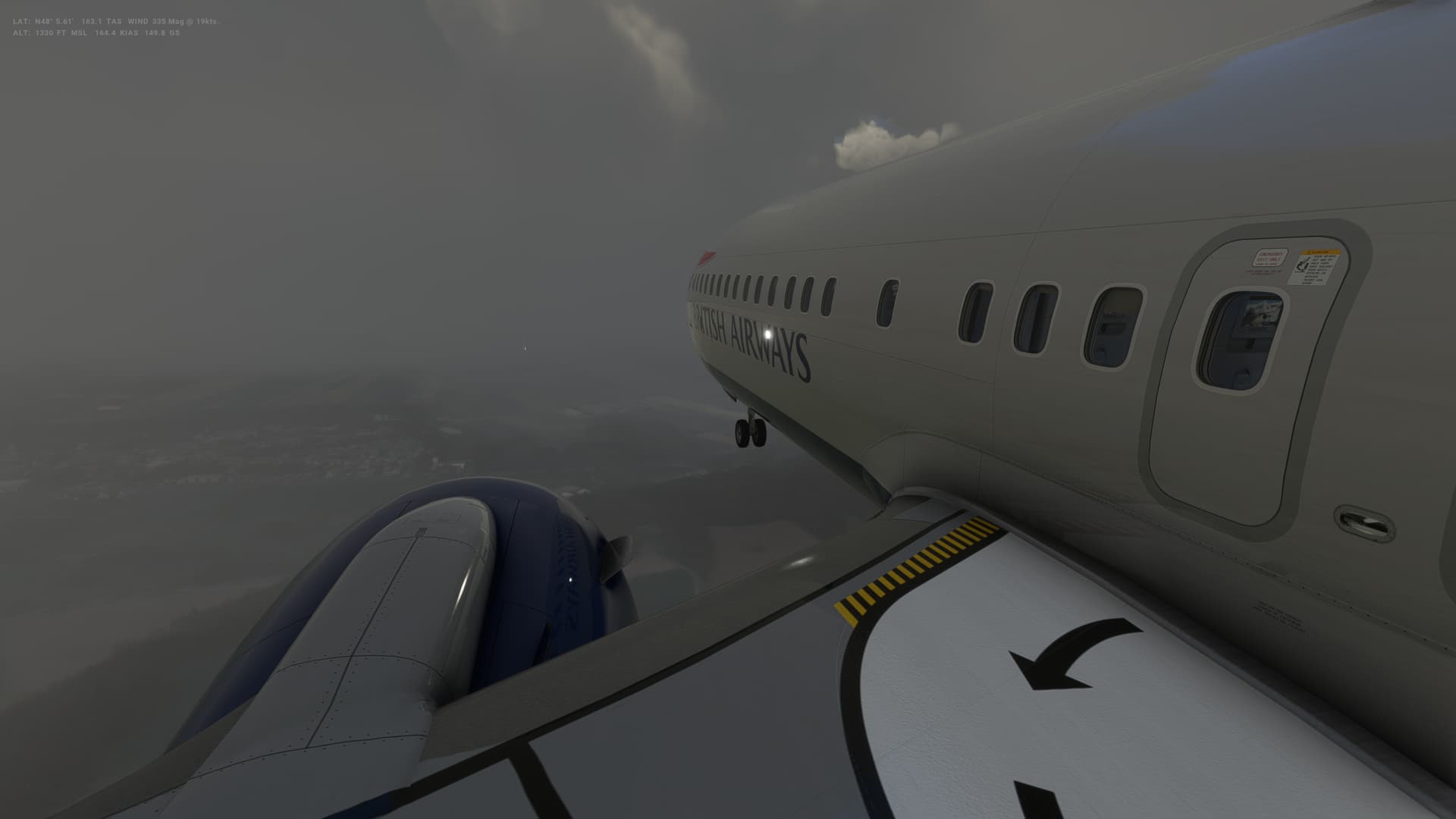
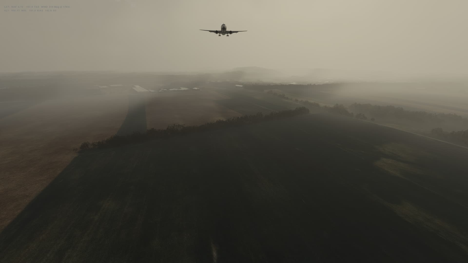
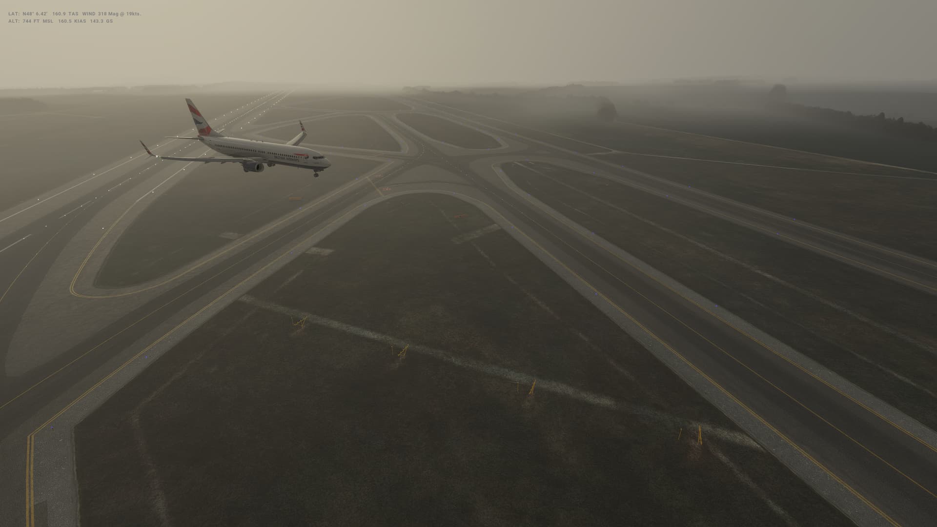
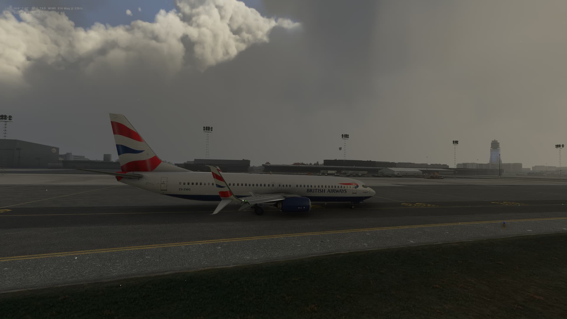
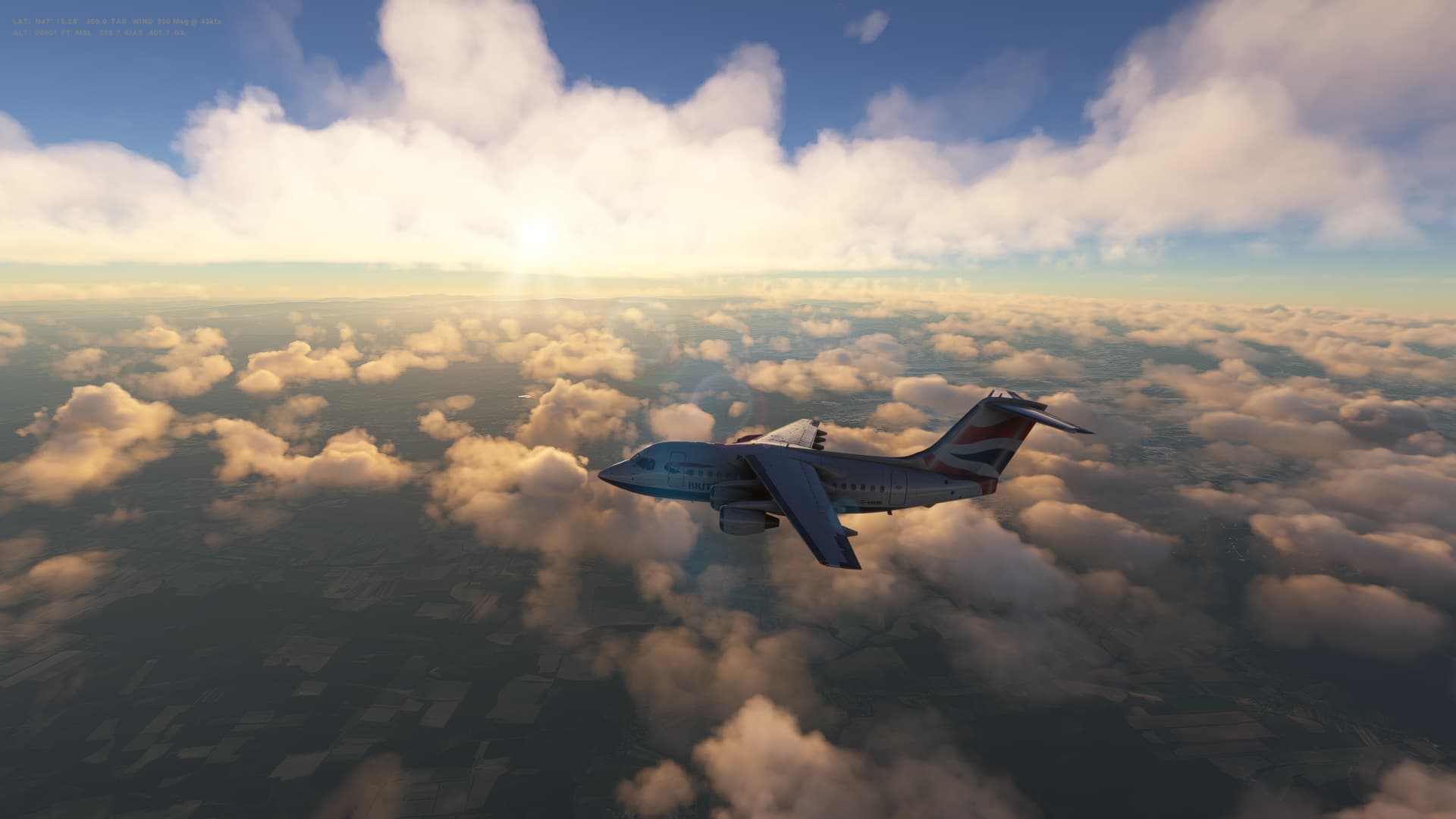
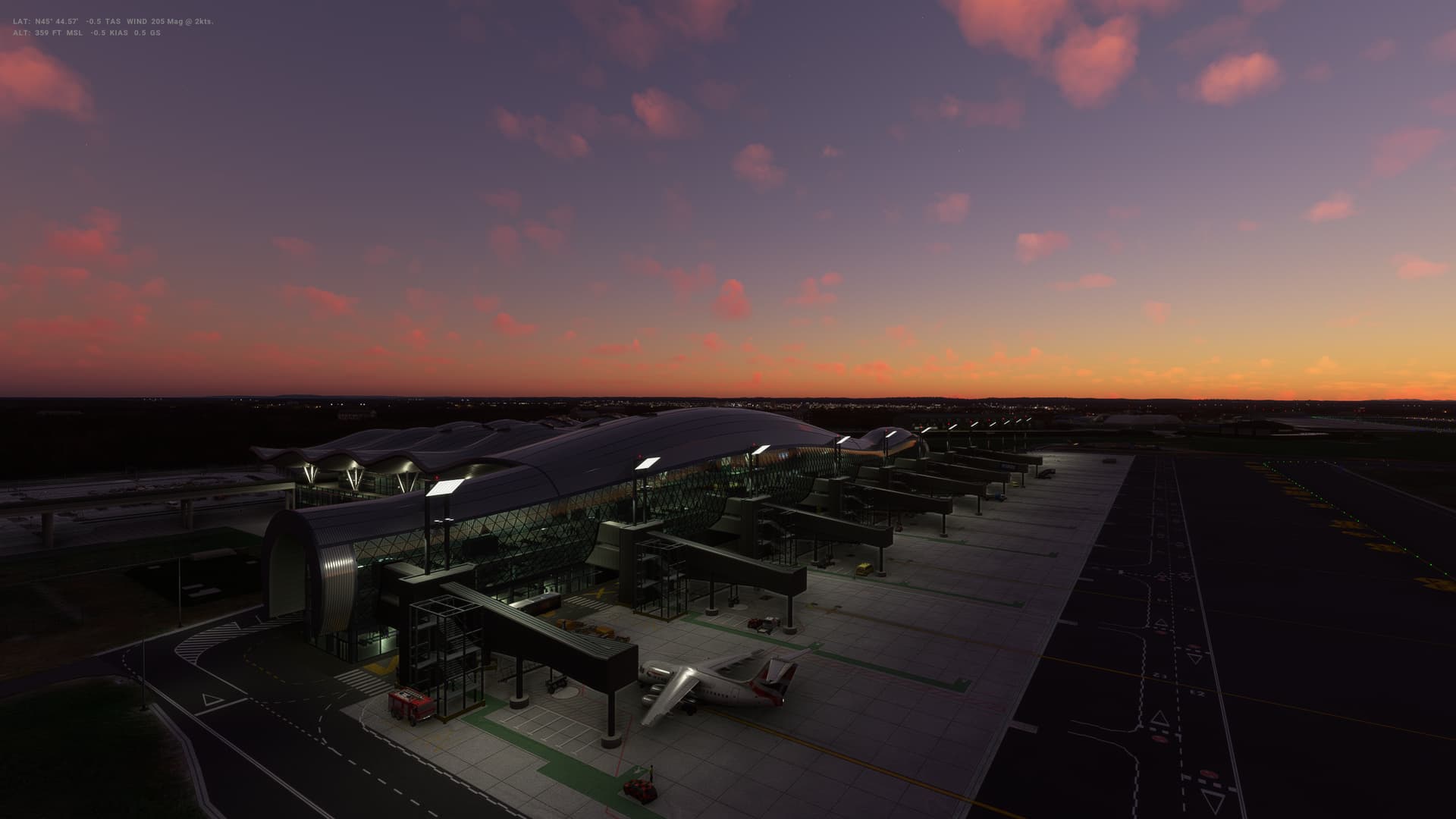
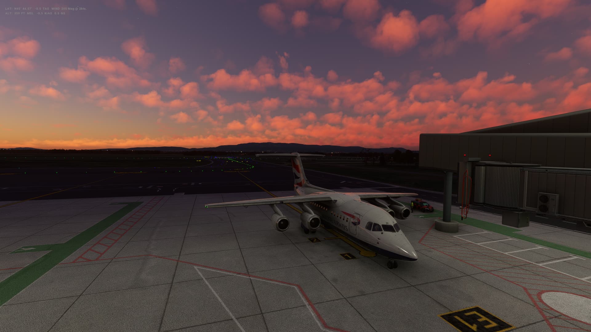
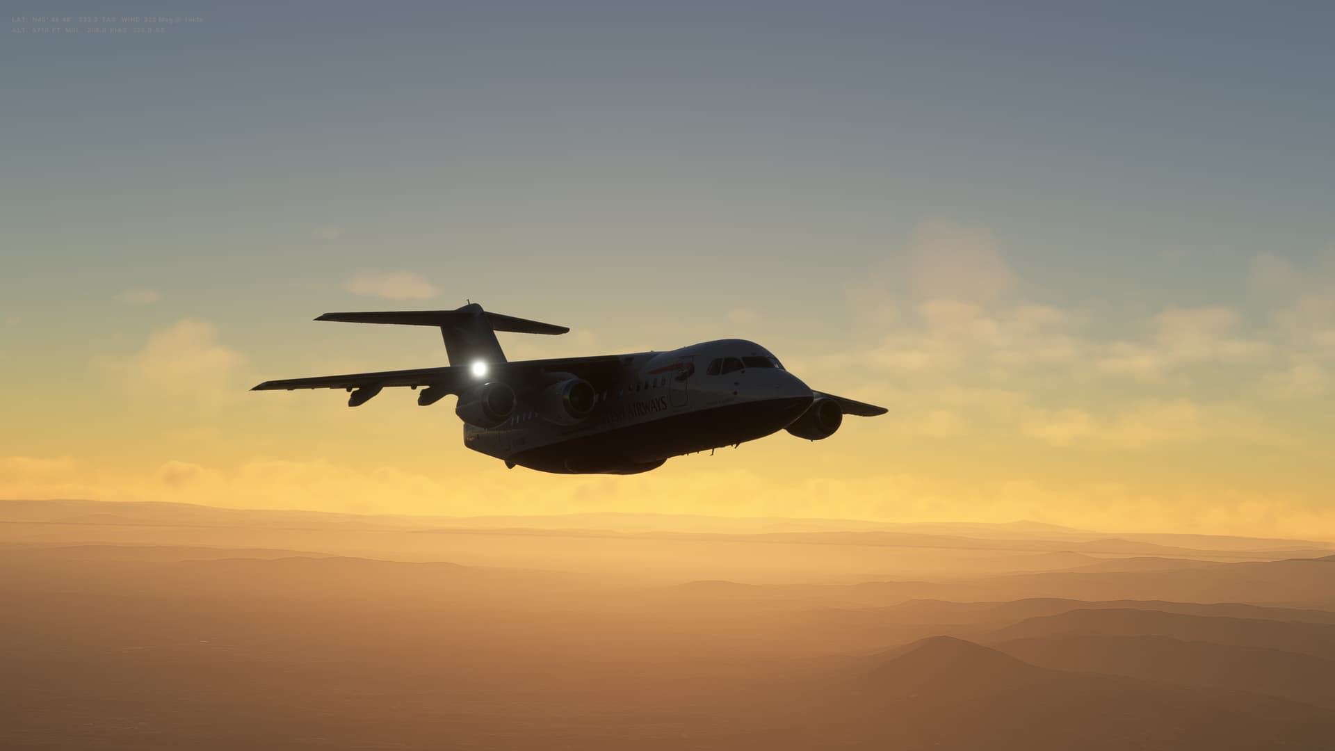
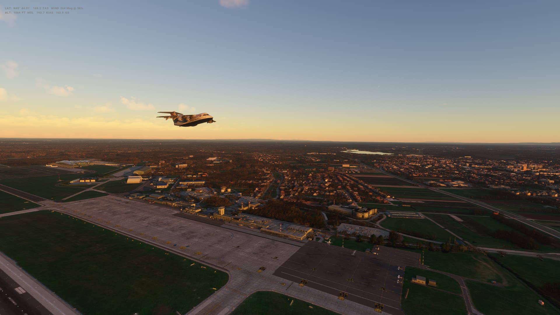
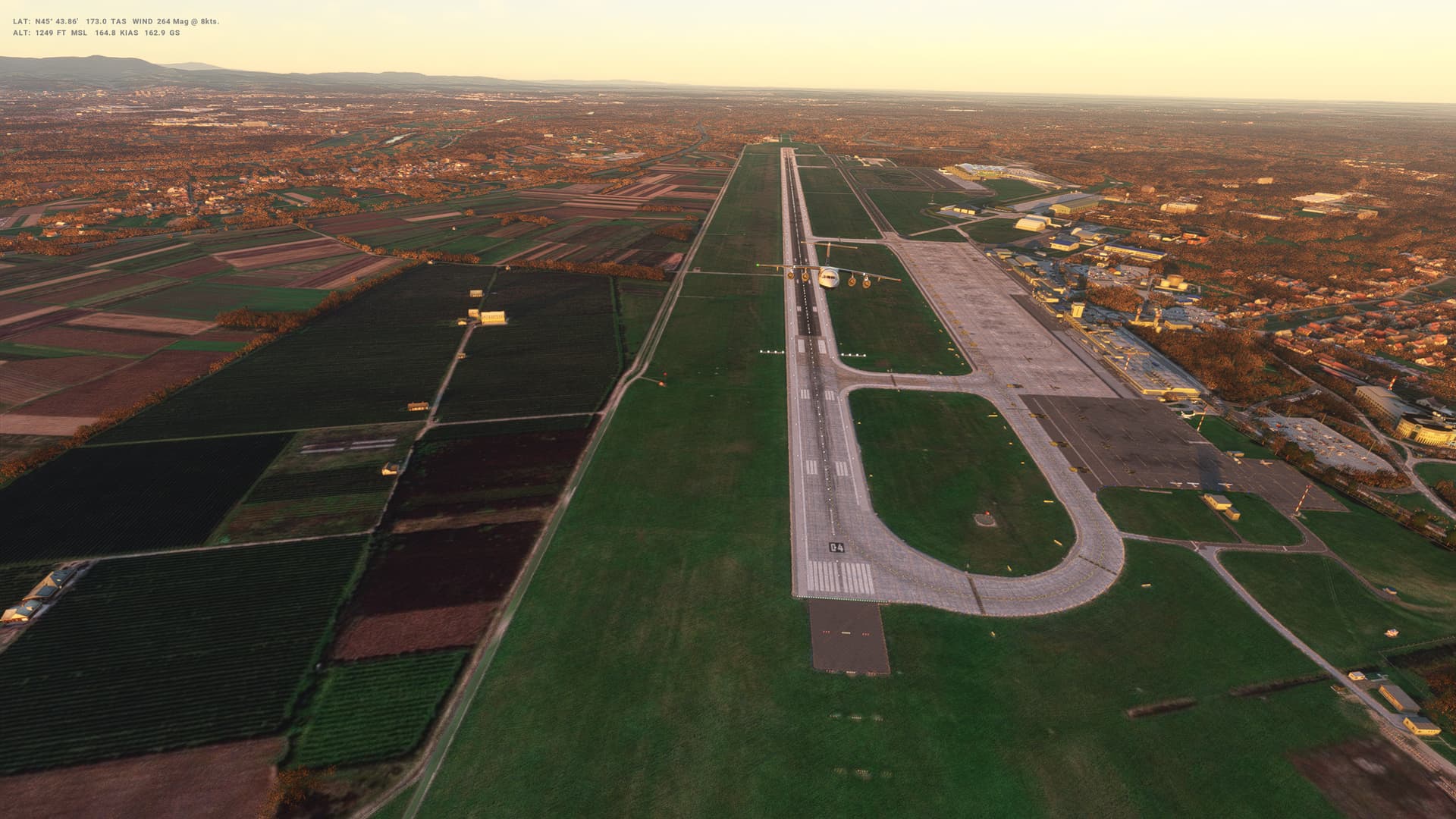
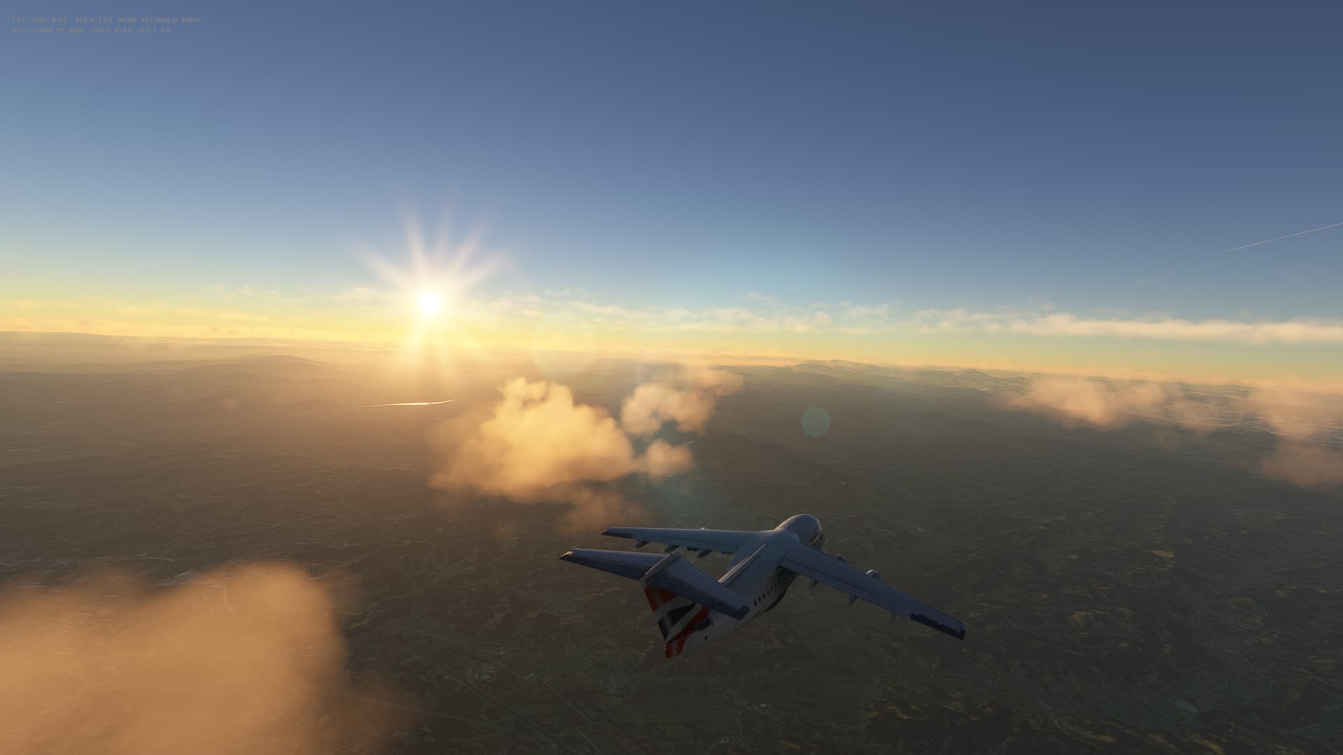
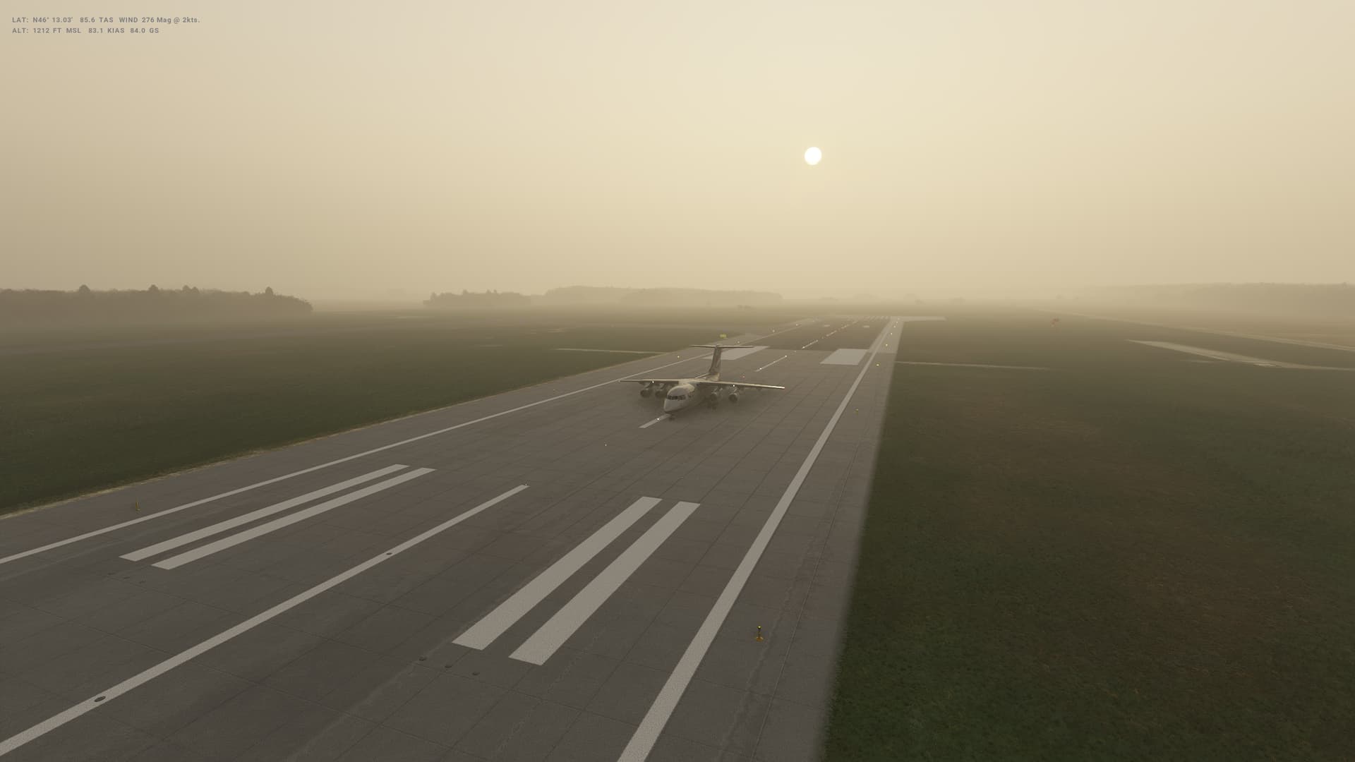
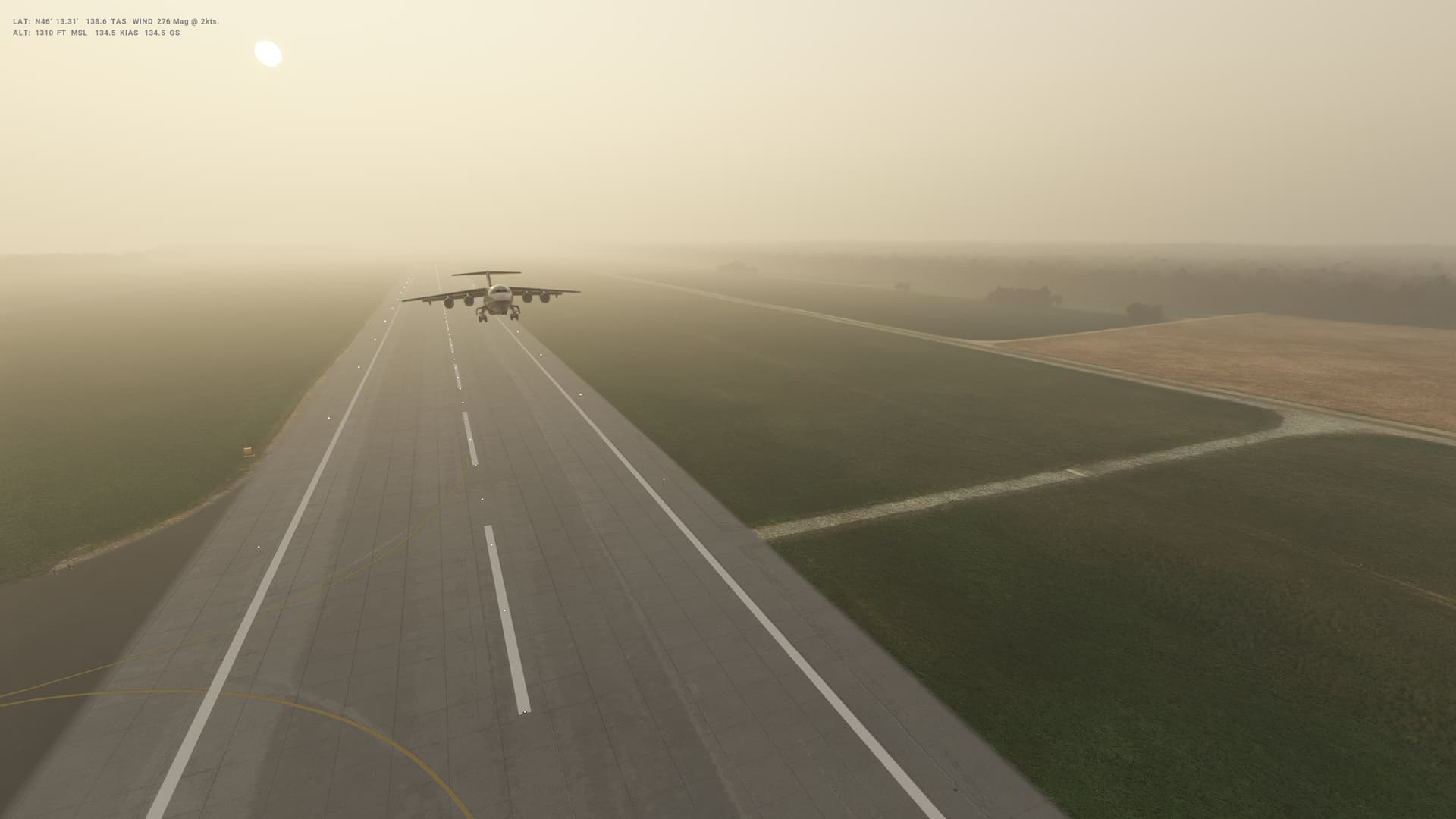
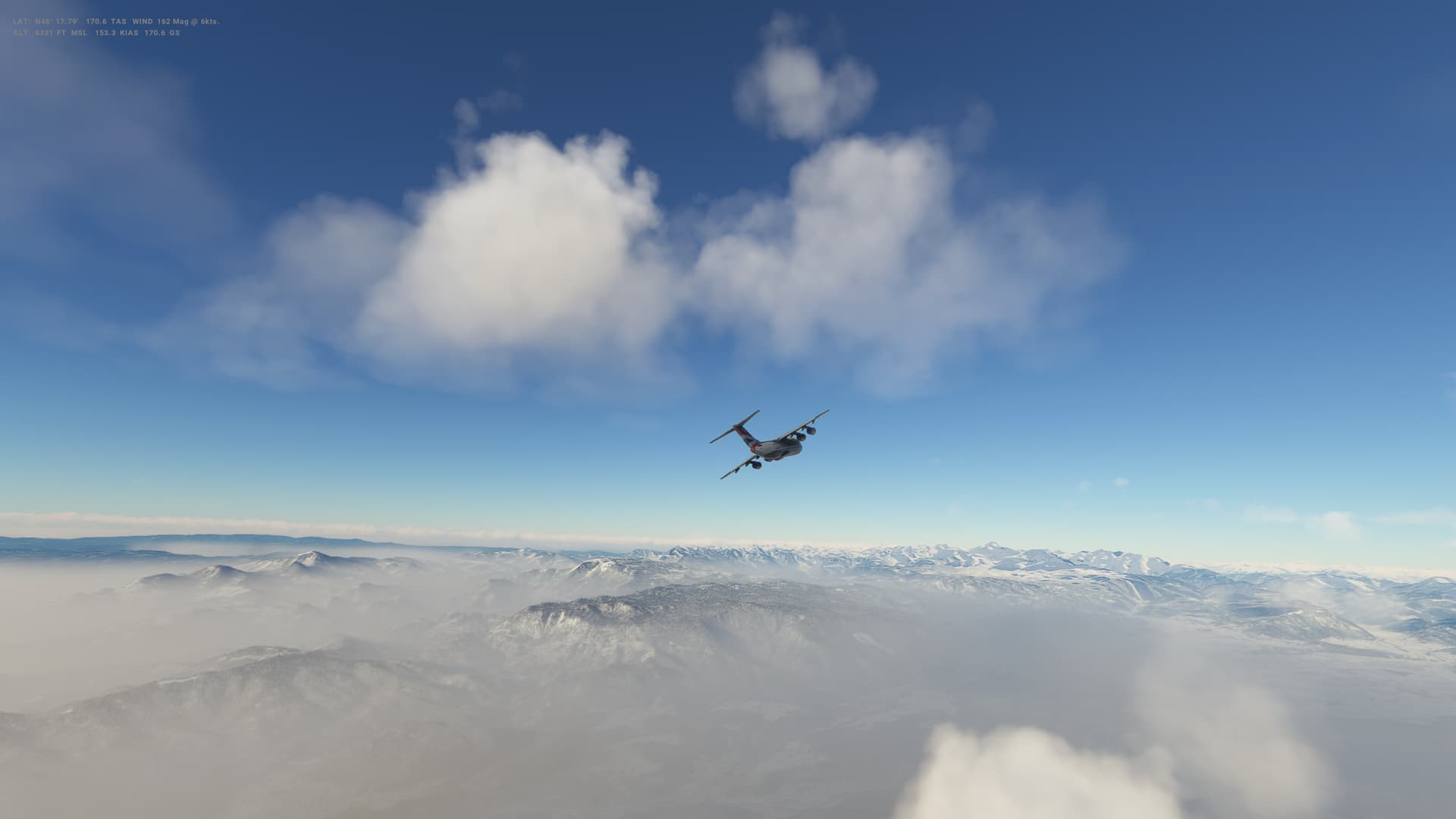
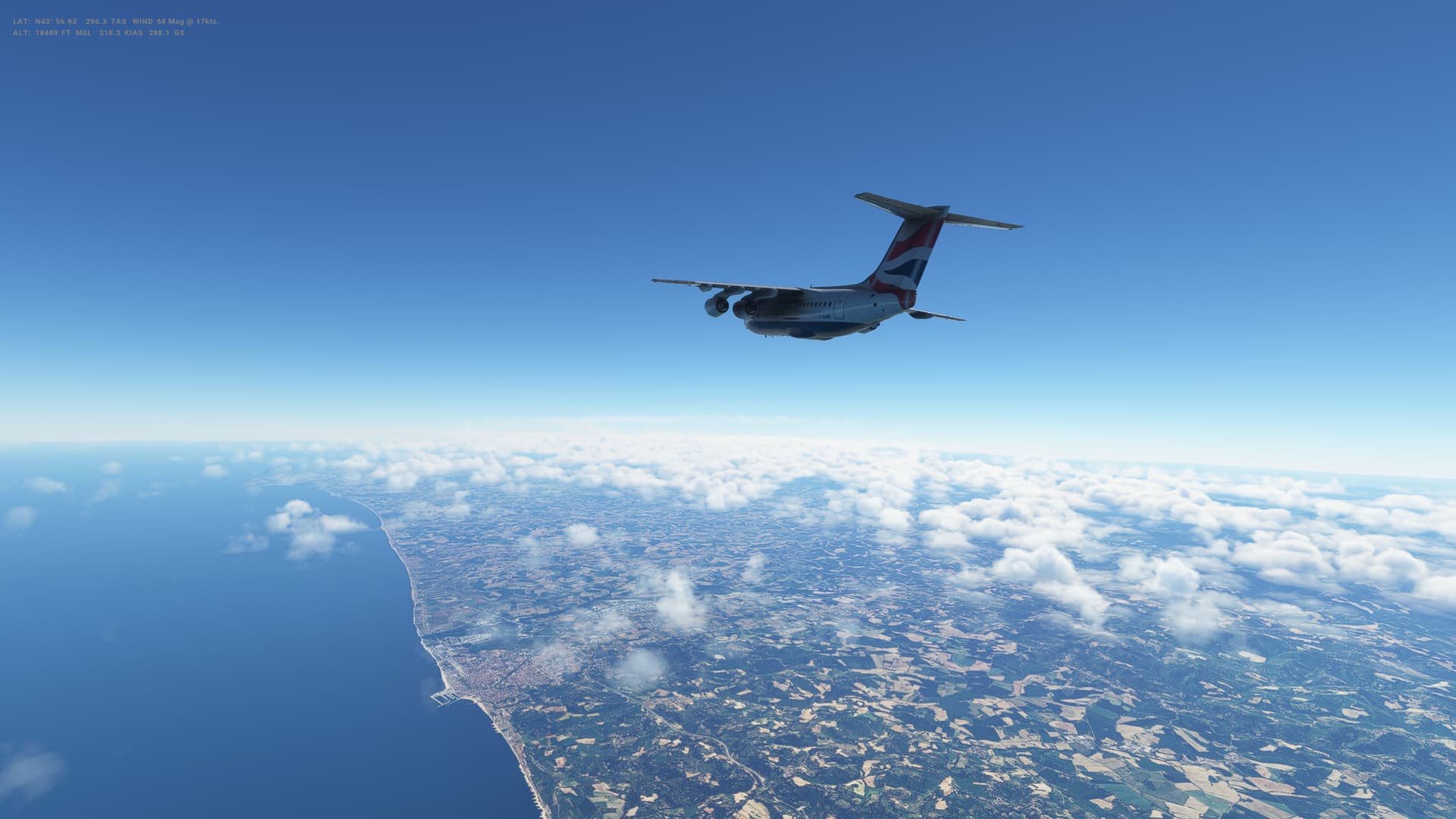
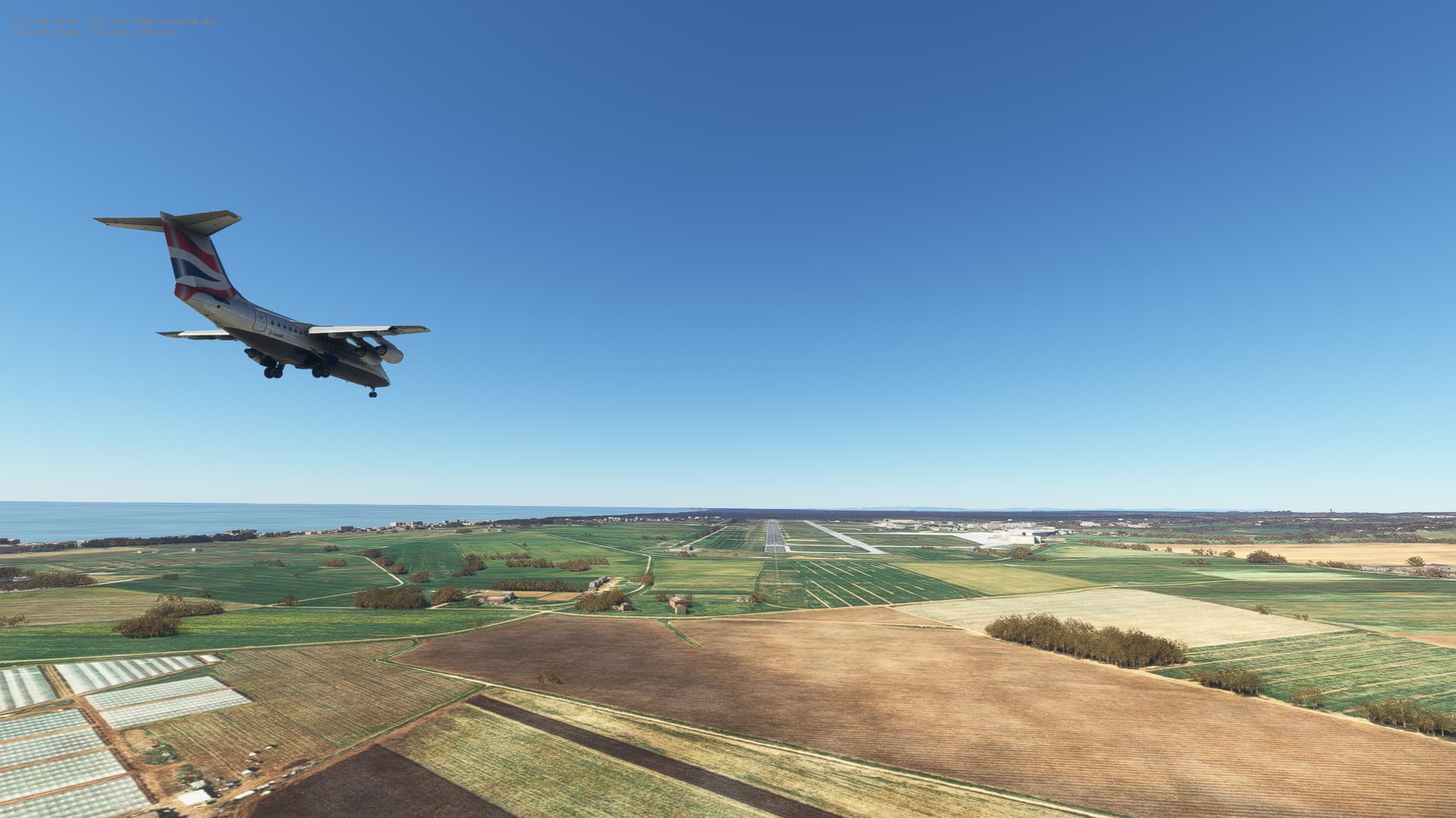
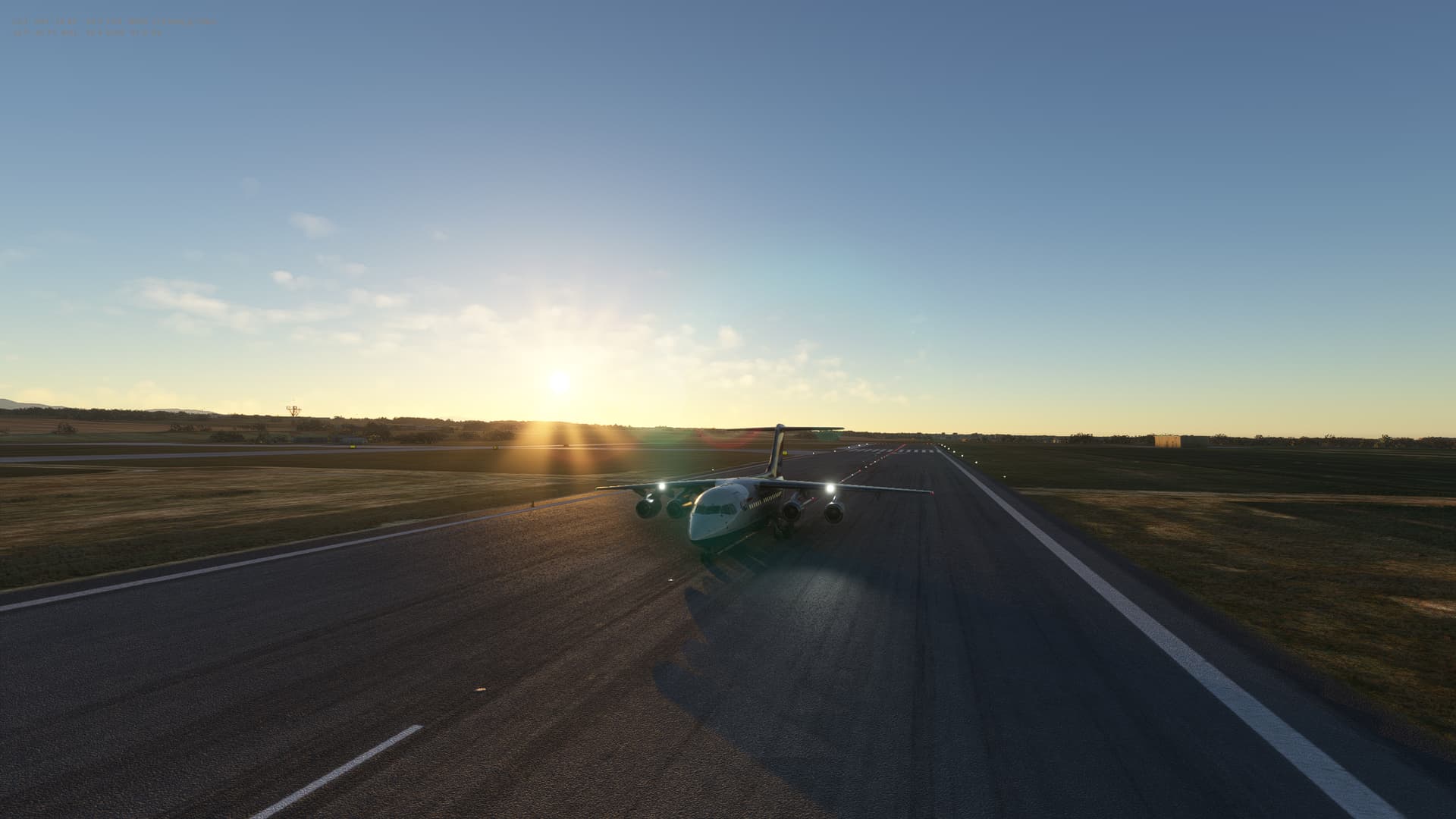
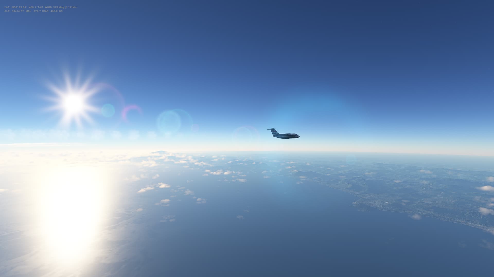
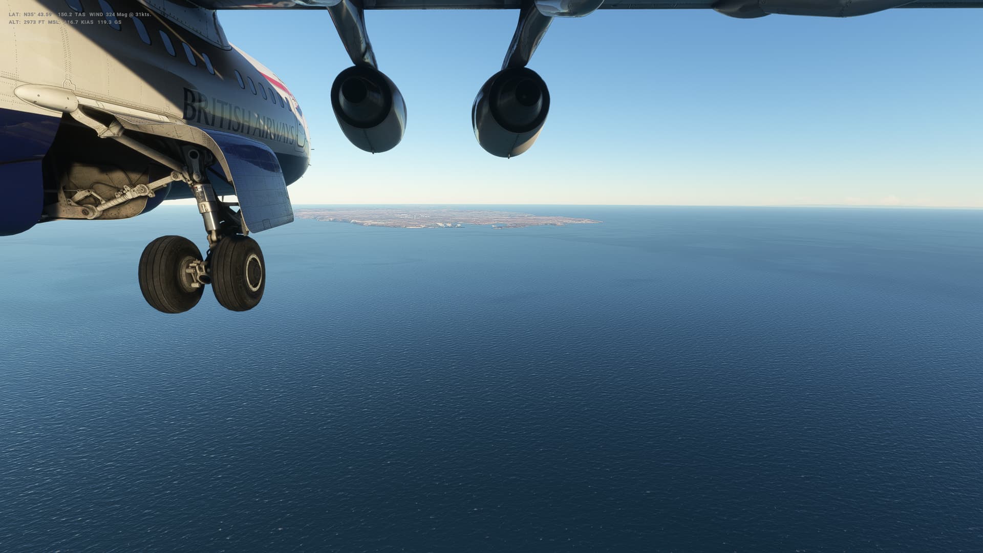
Another leg in the PMDG Boeing 737-800 and another somewhat dubious take off. I’m flying with the plane fully laden with 184 passengers, and I’m definitely struggling to get the plane to lift off smoothly - I think I’m pulling the noseup too quickly and it keeps dropping back down. This time with a fair crash back onto the runway before I finally get up in the air. More practice is needed!
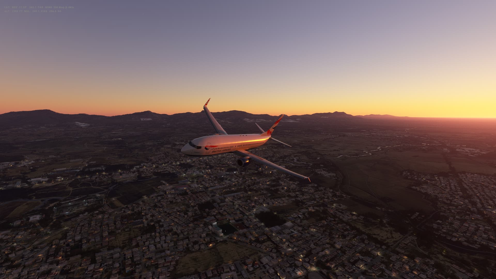
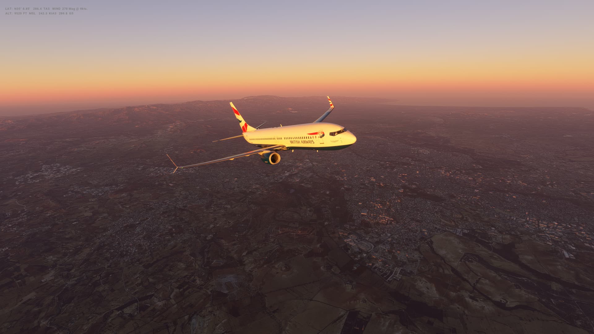
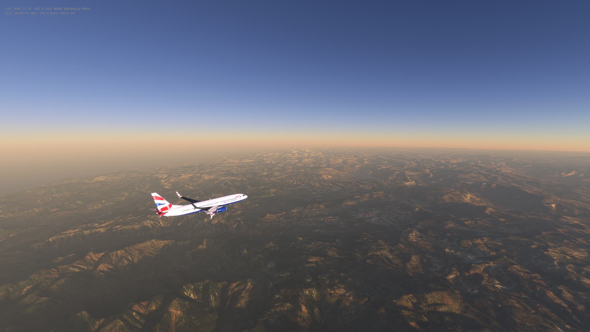
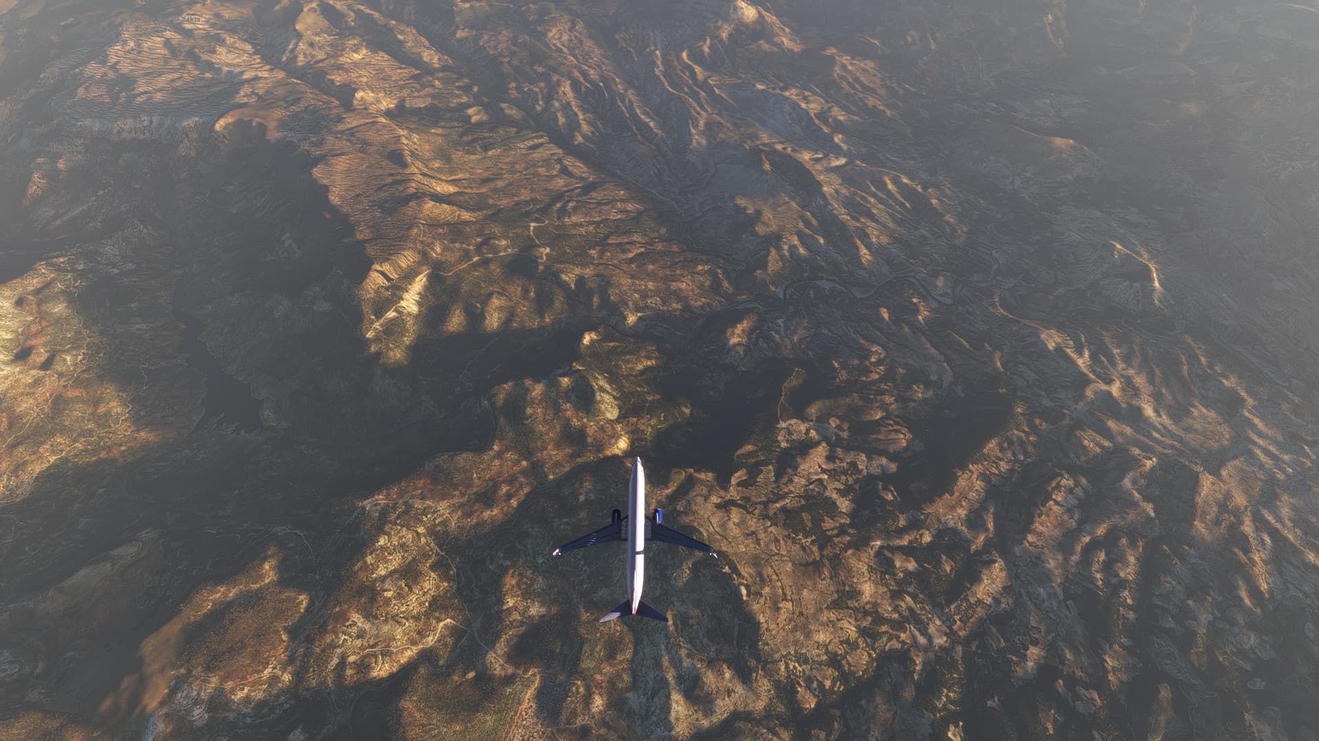
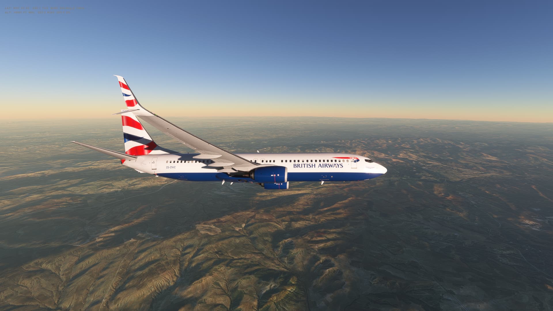
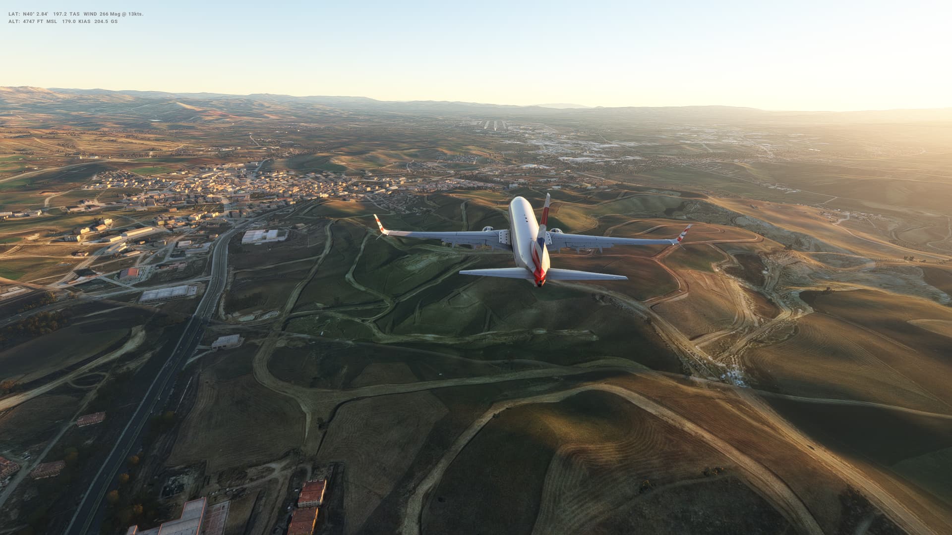
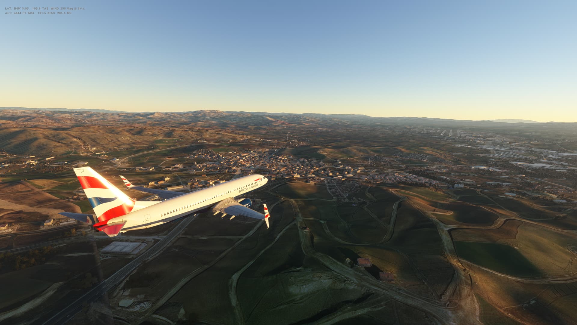
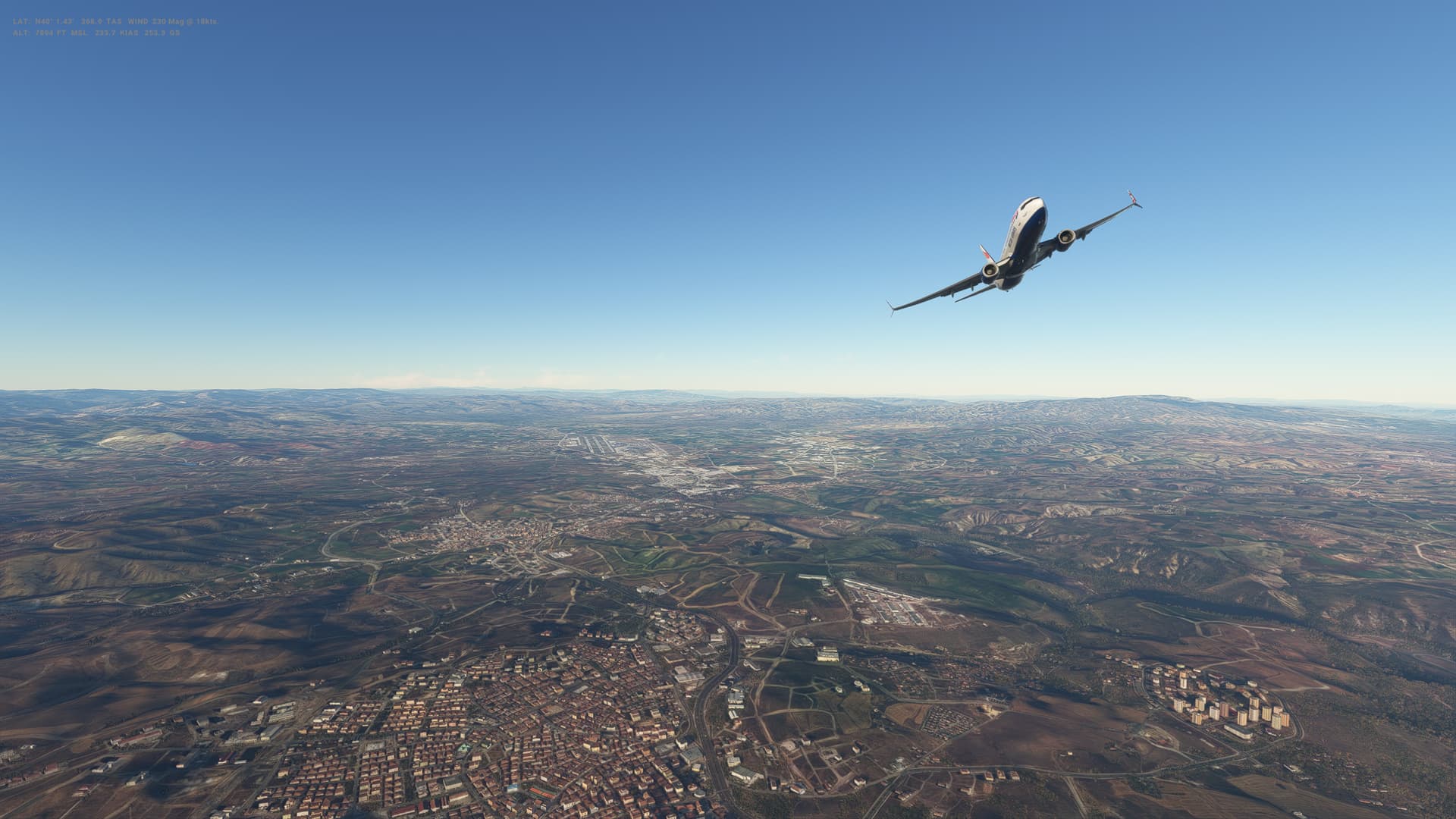
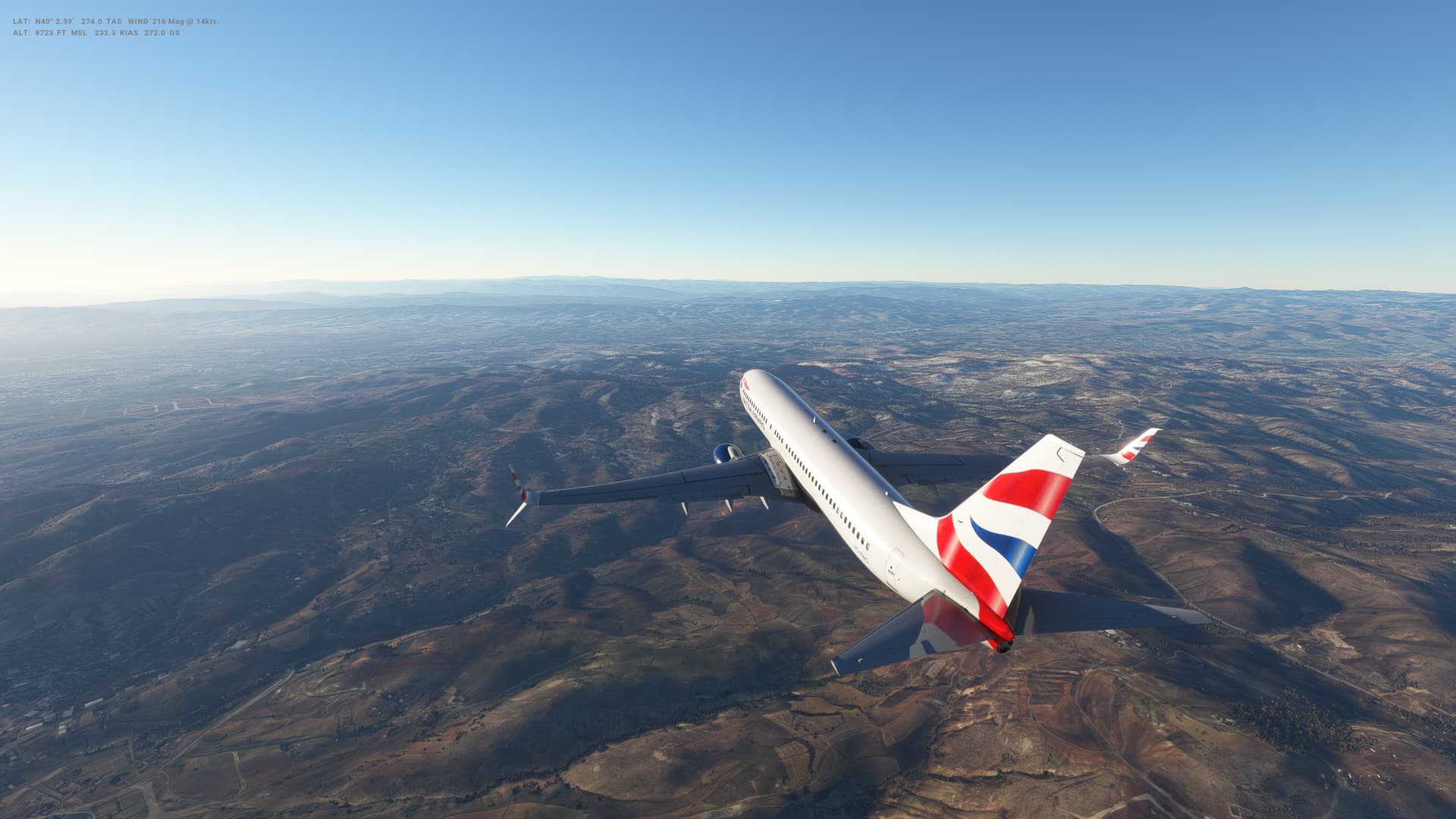
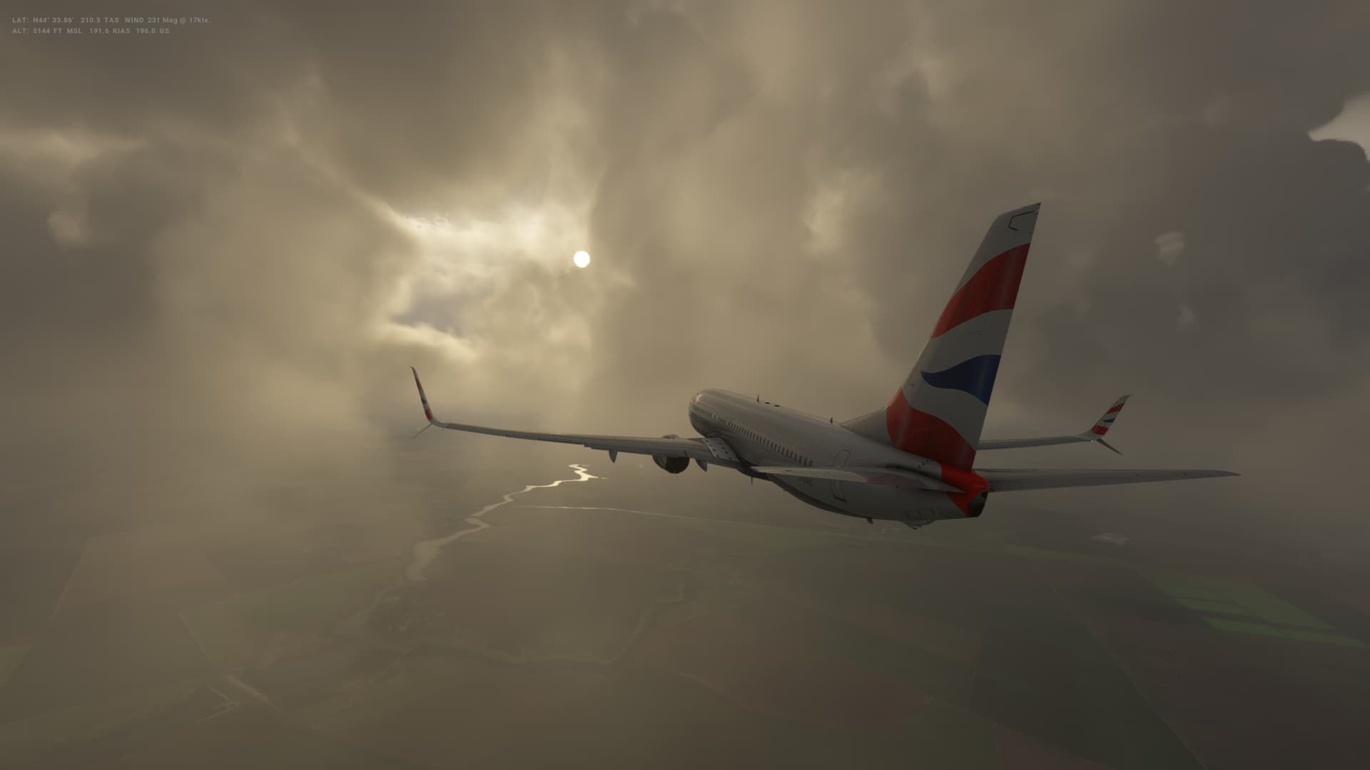
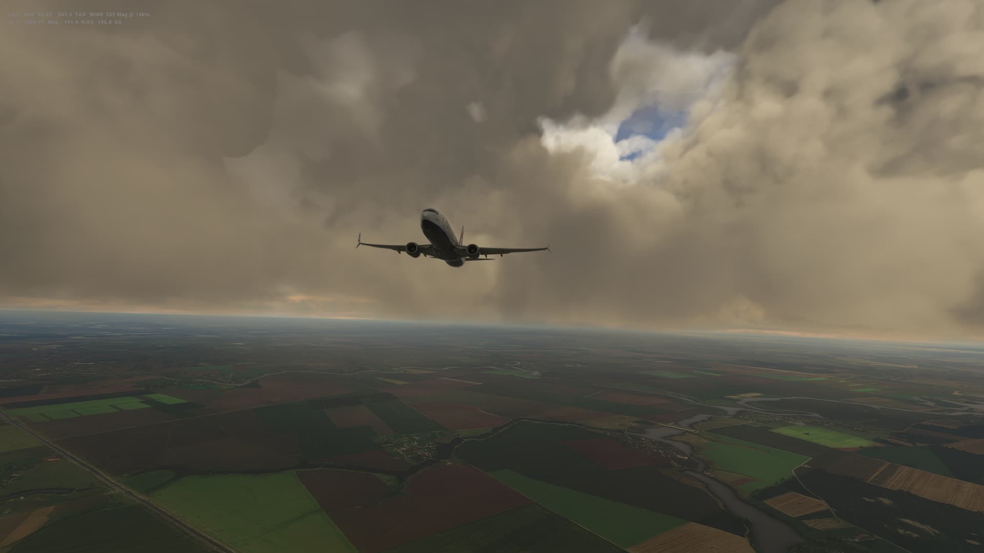
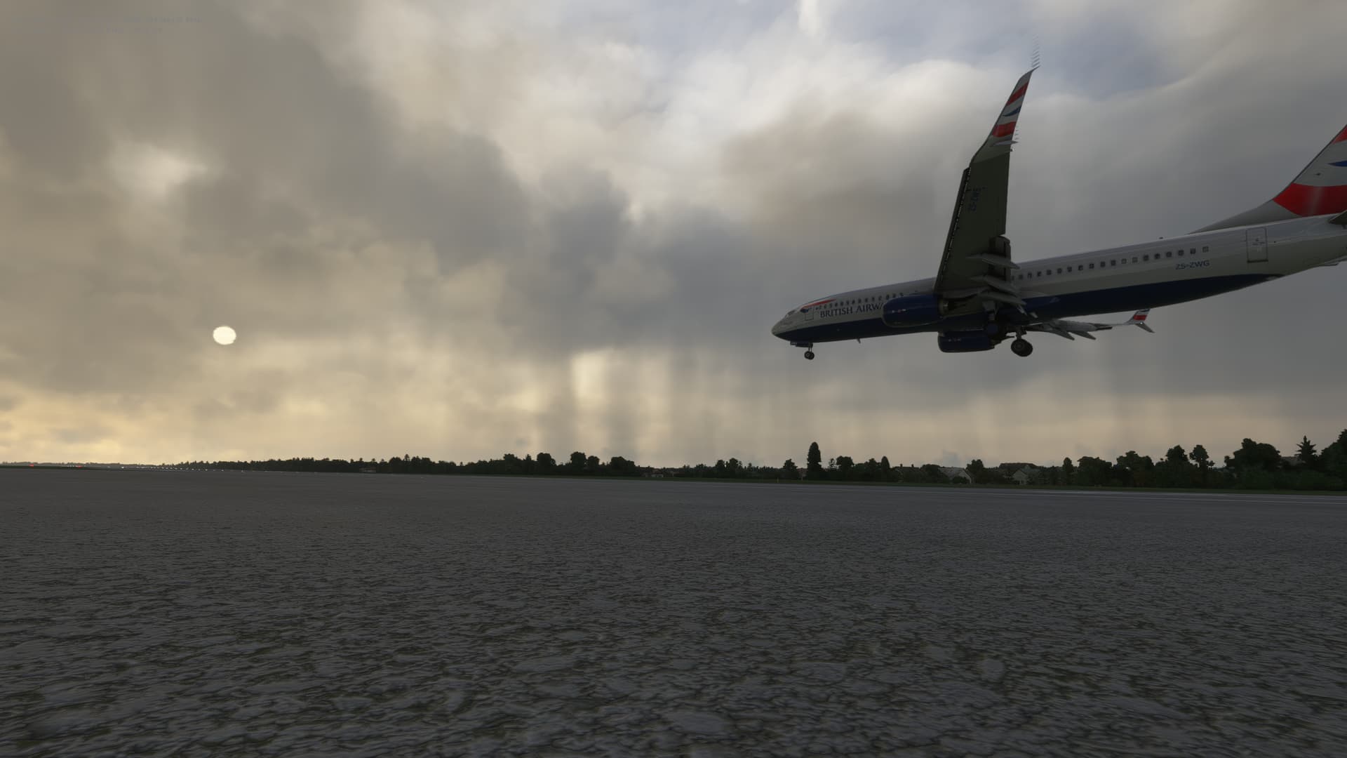
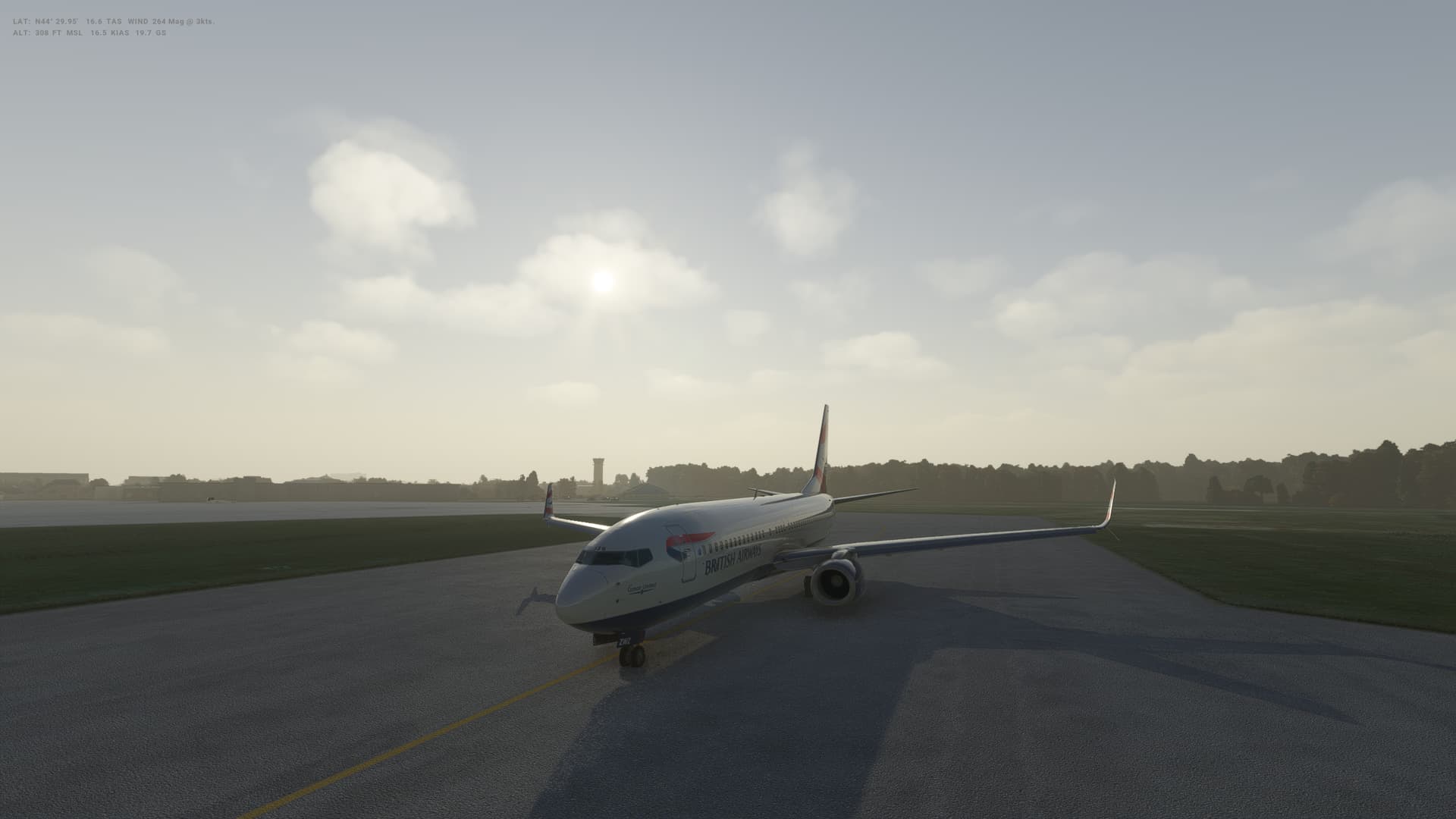
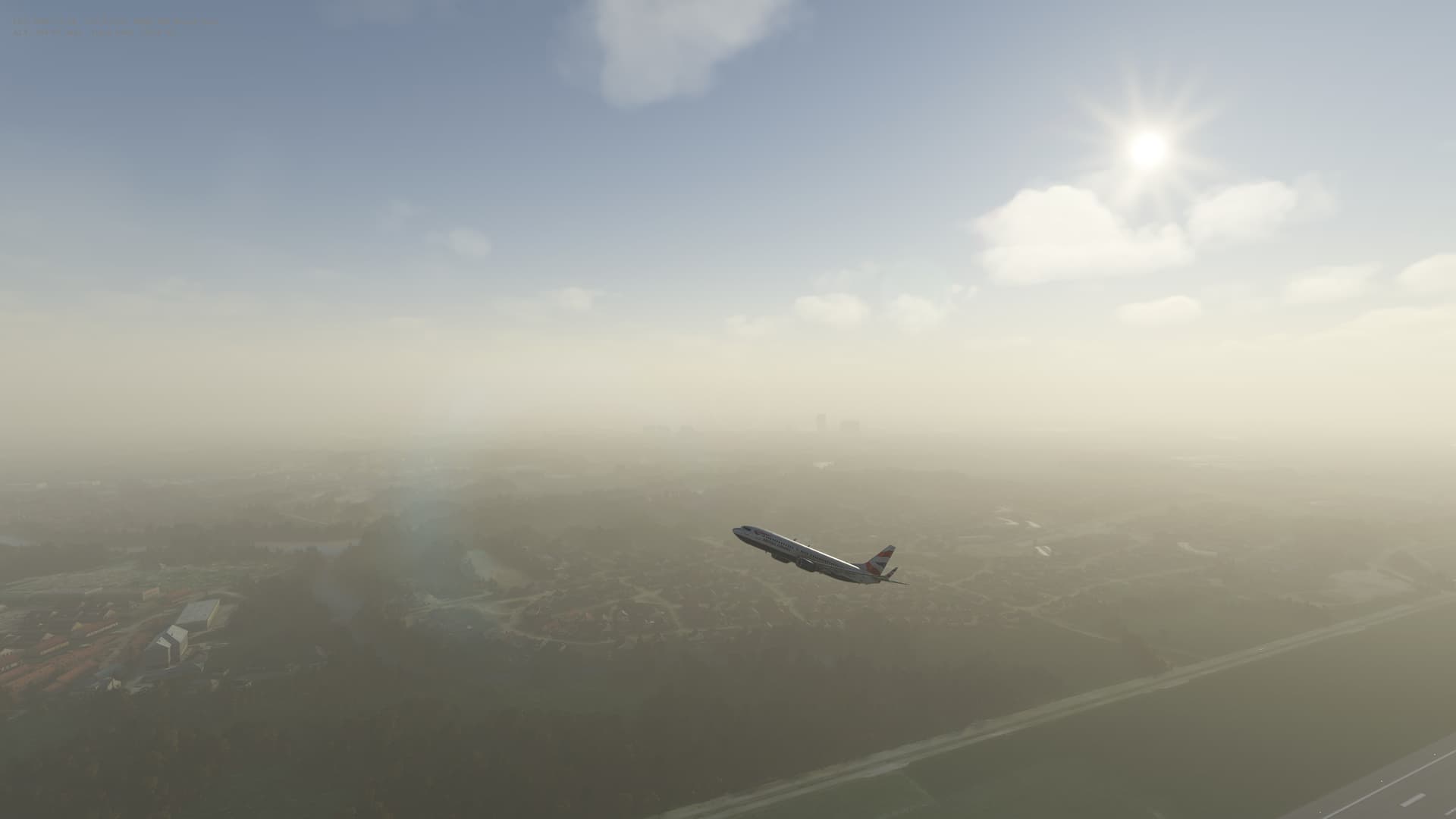
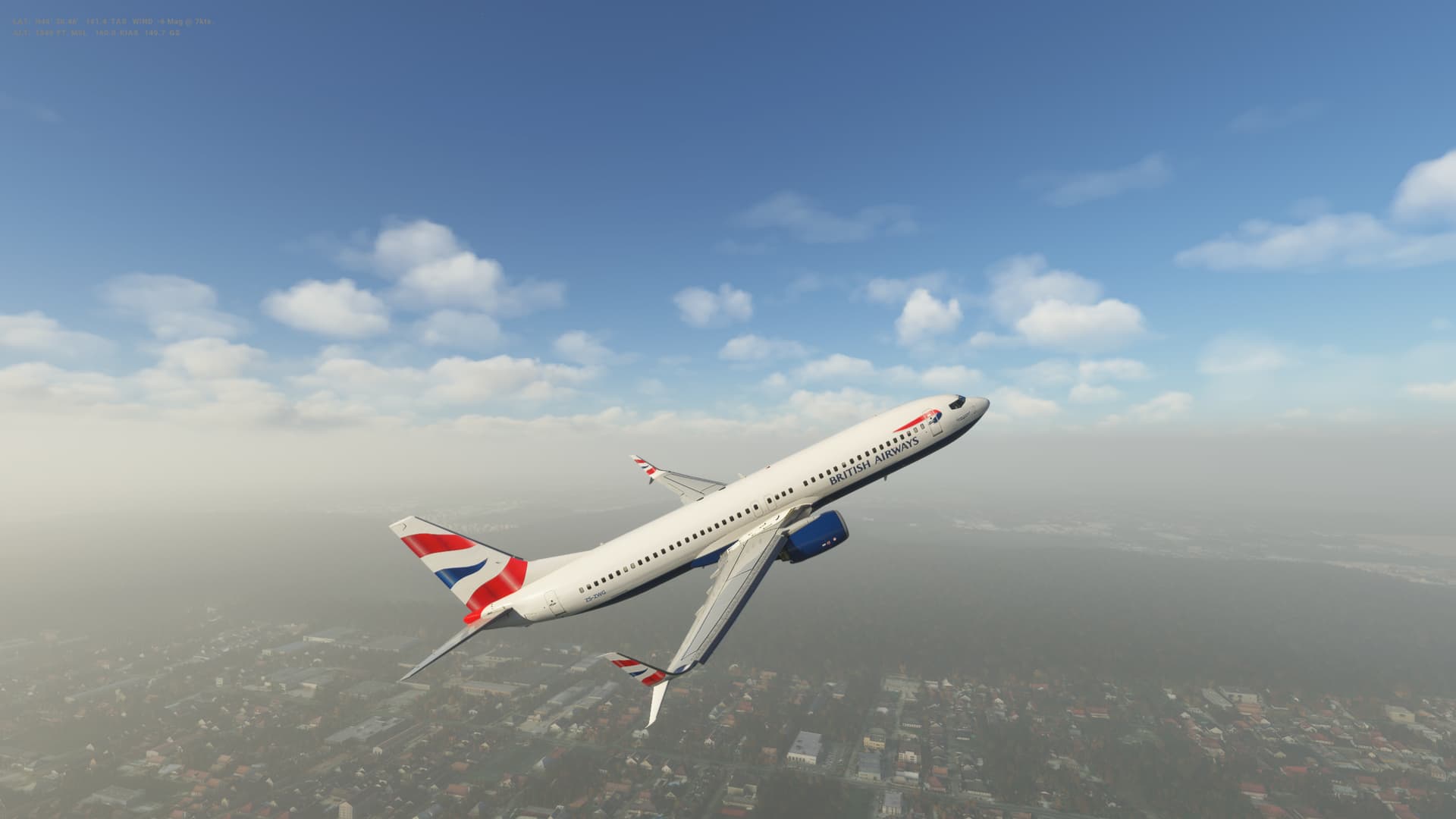
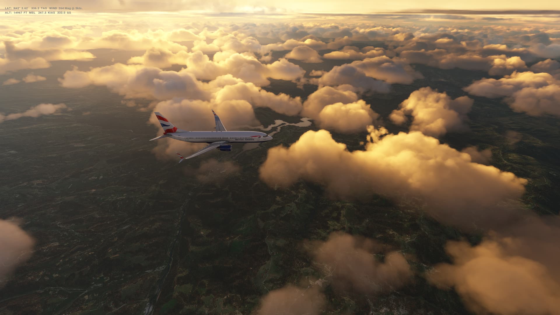
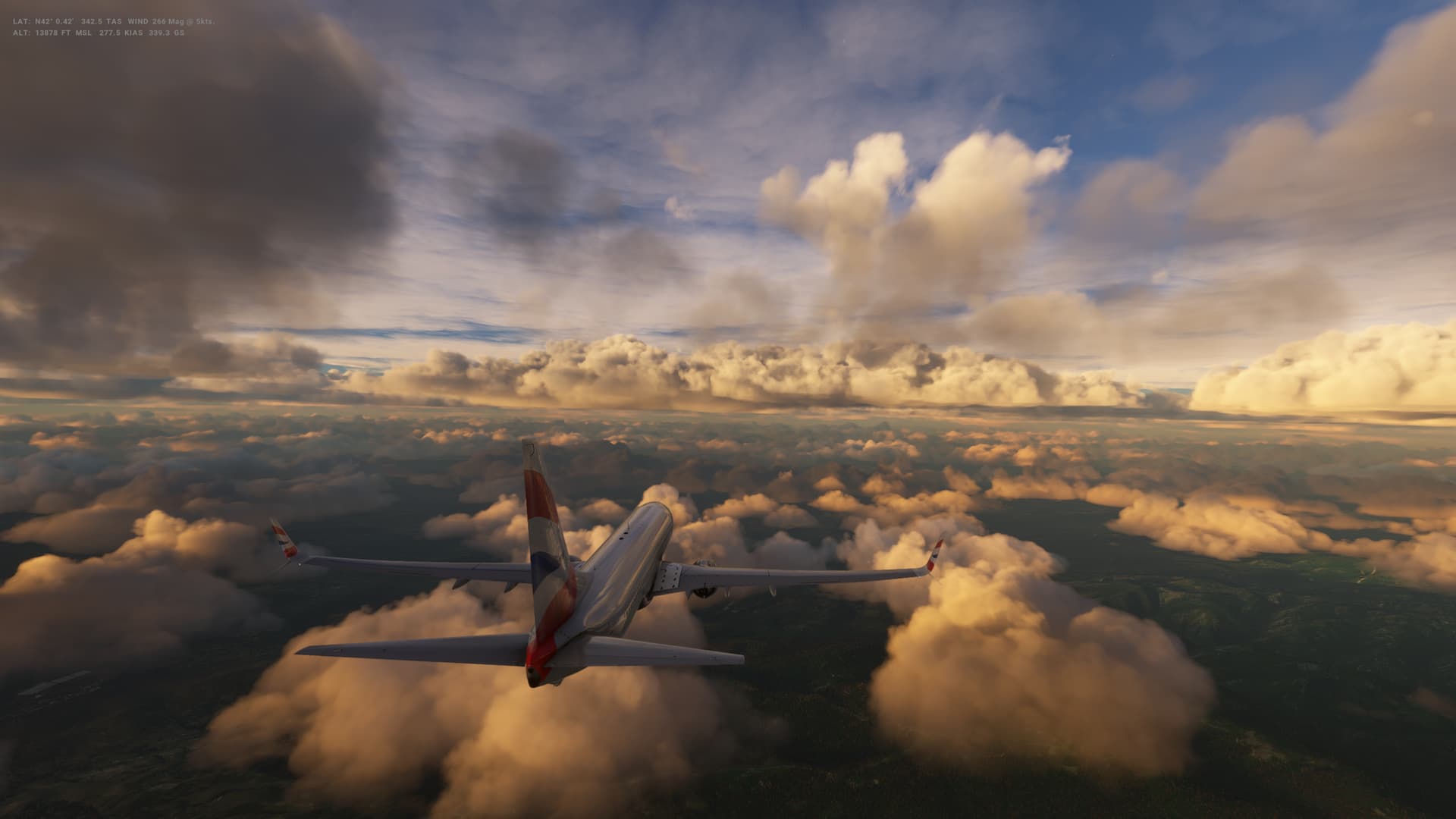
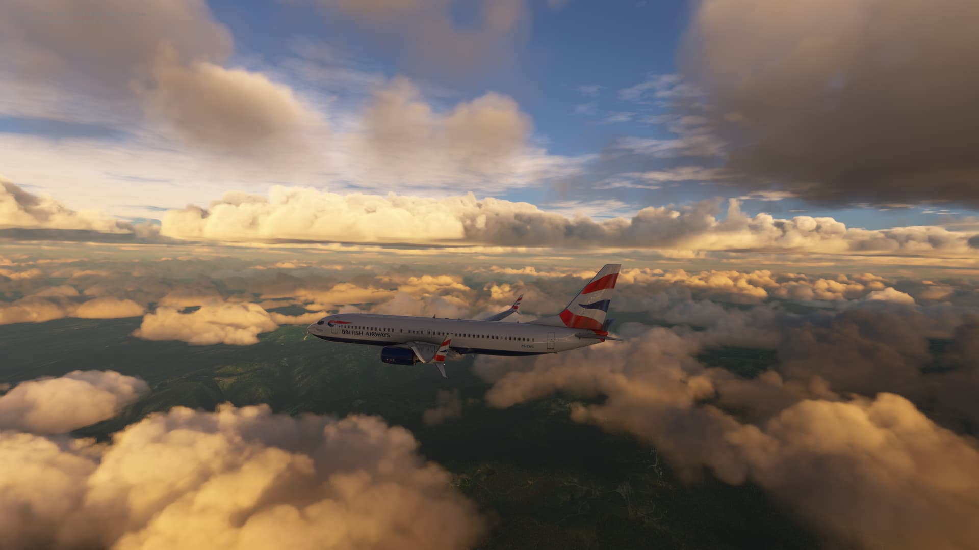
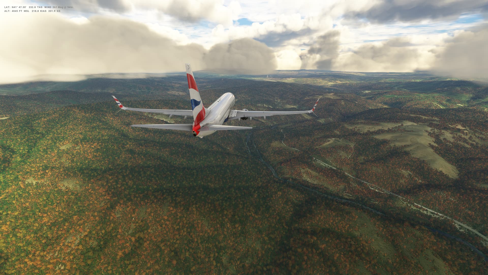
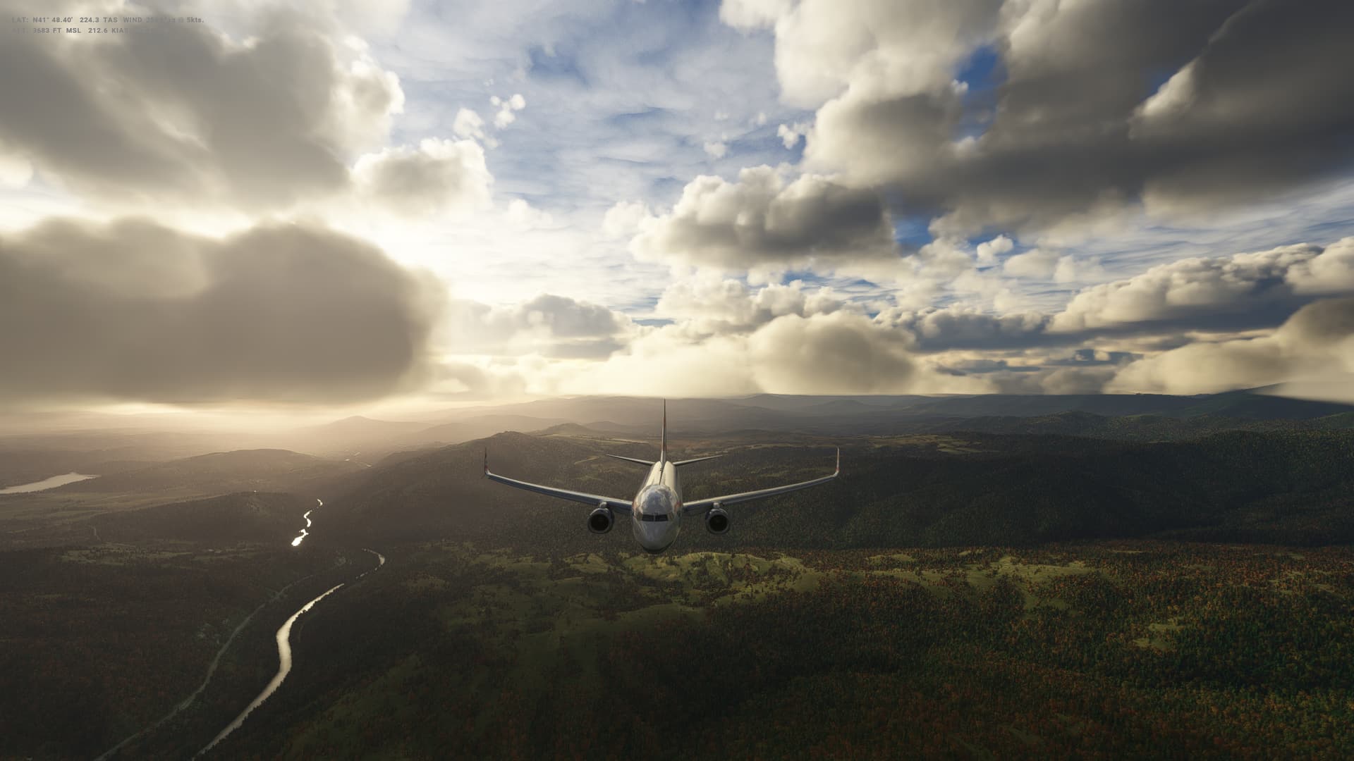
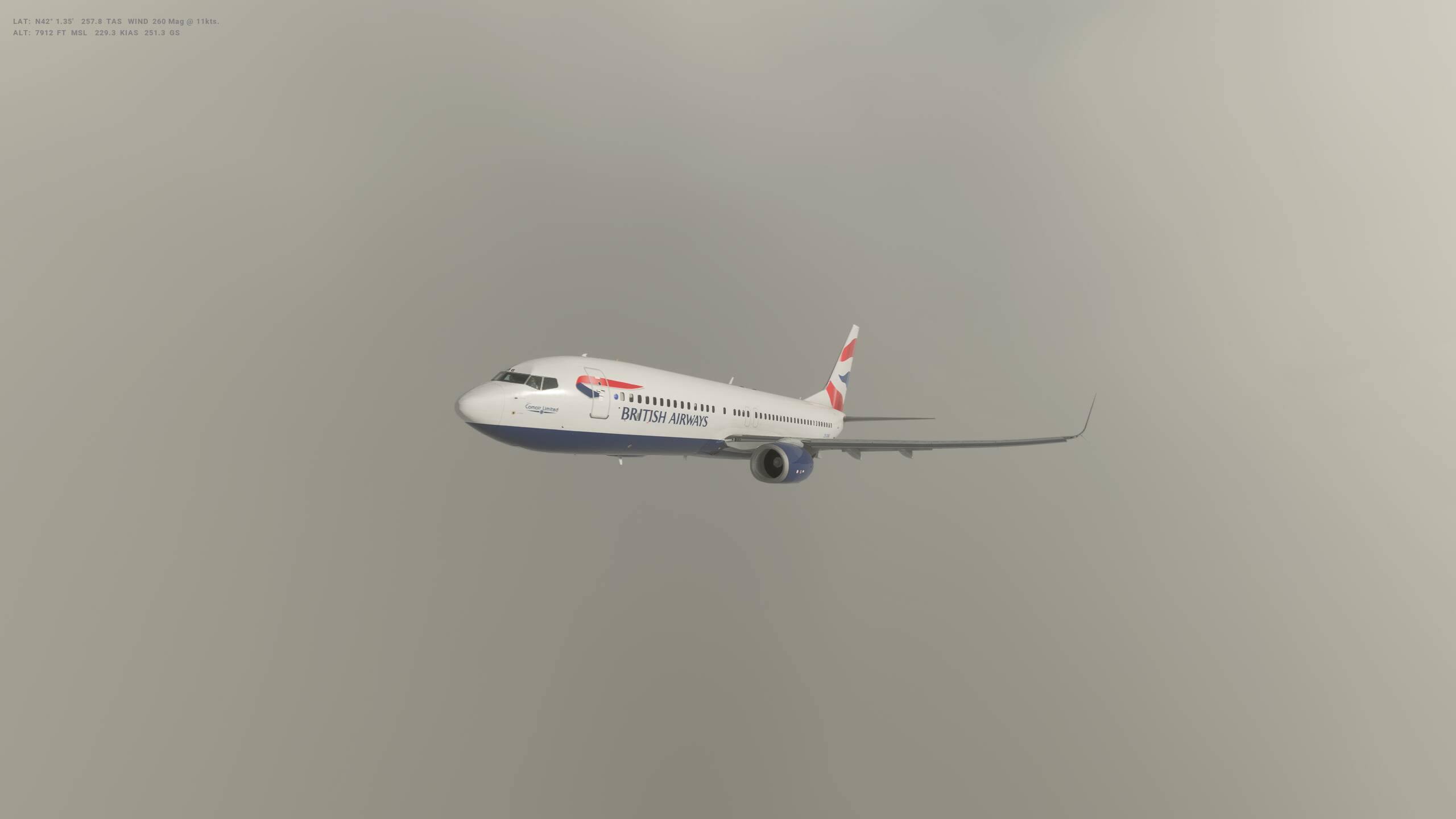
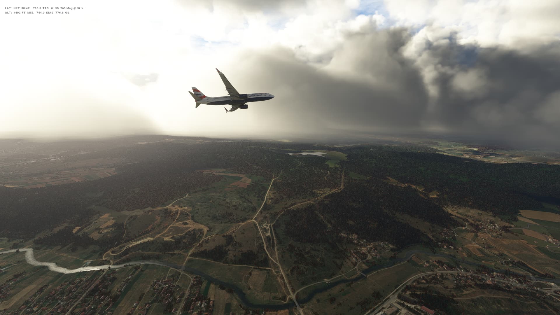
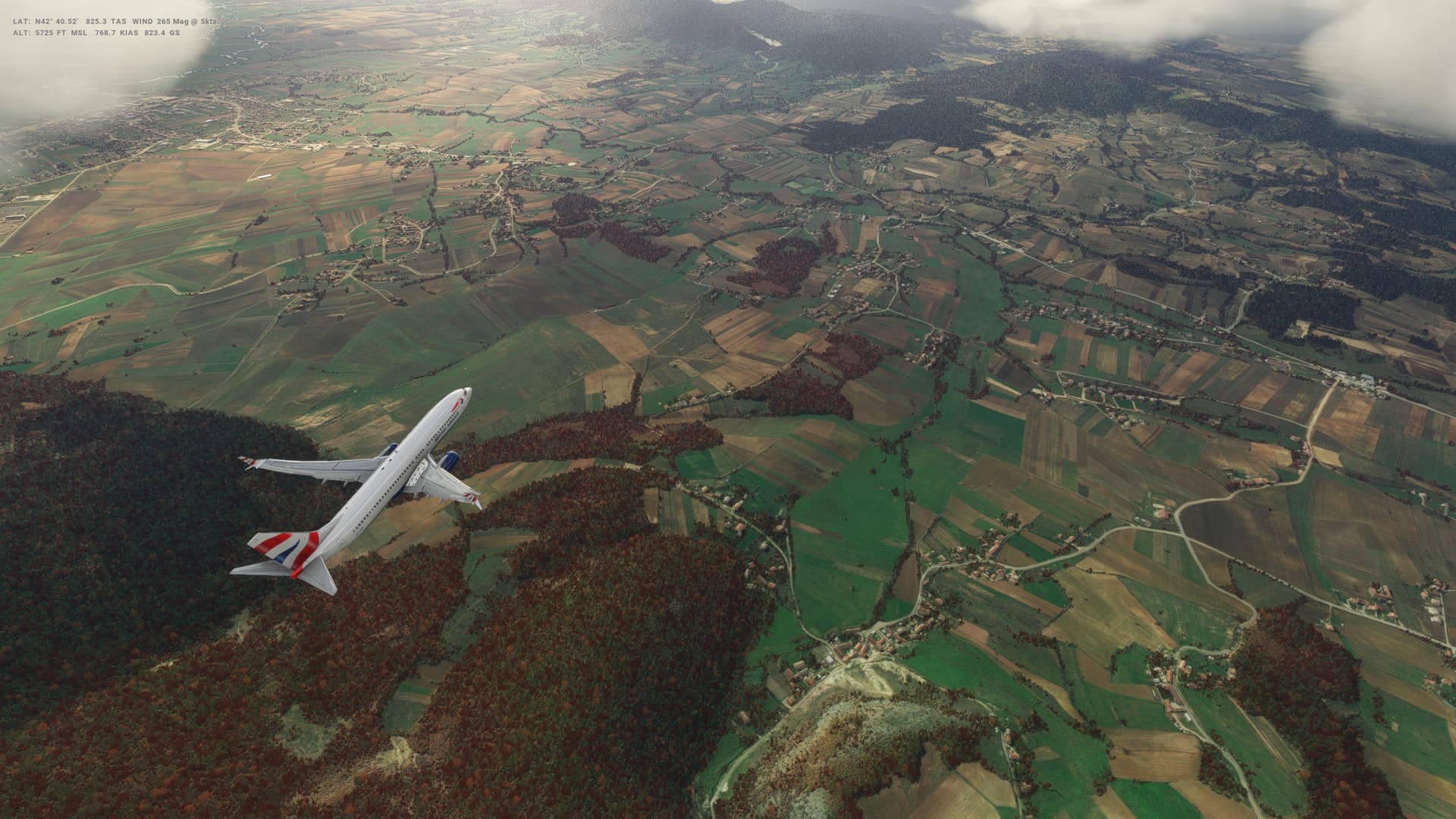
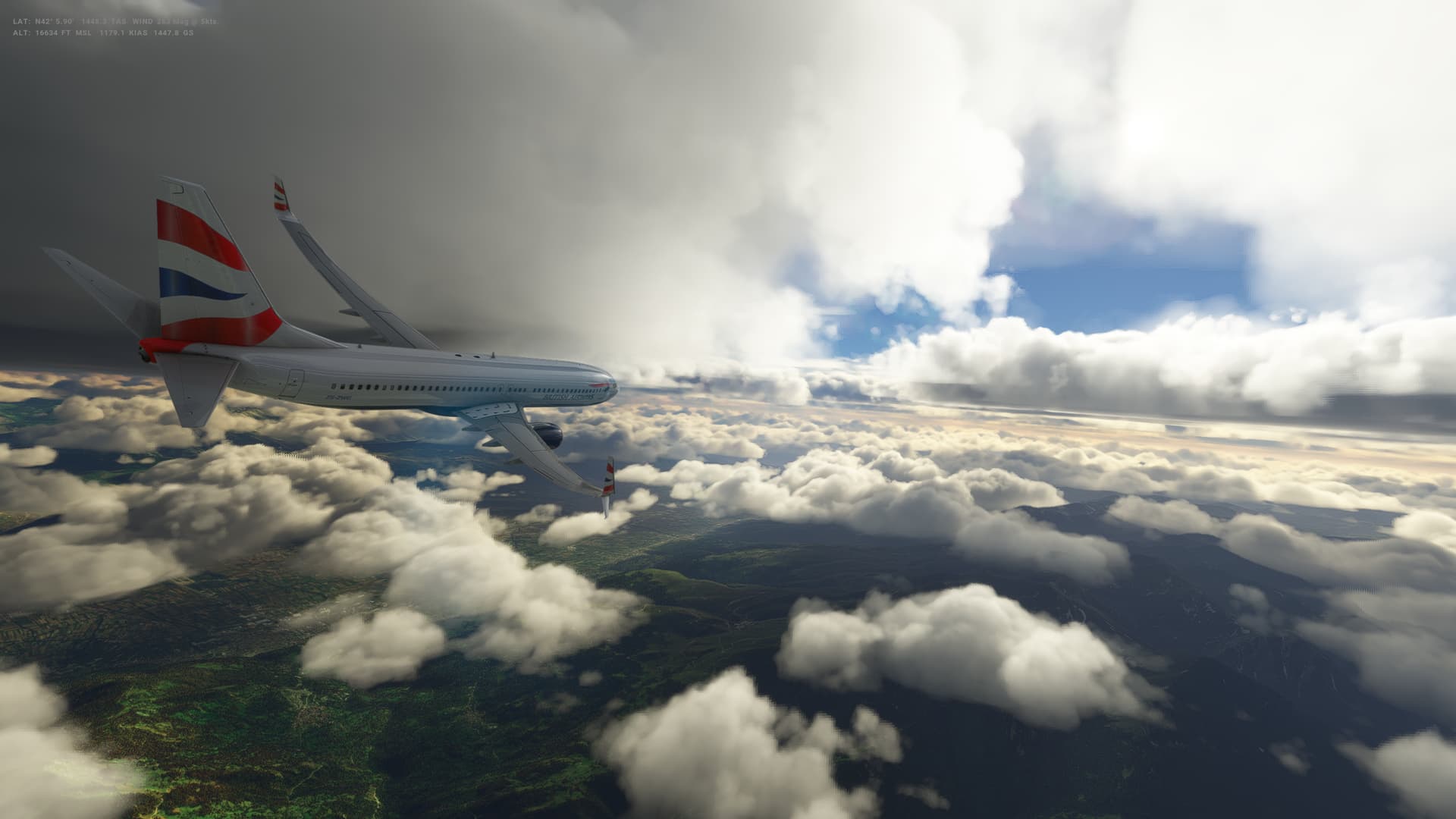
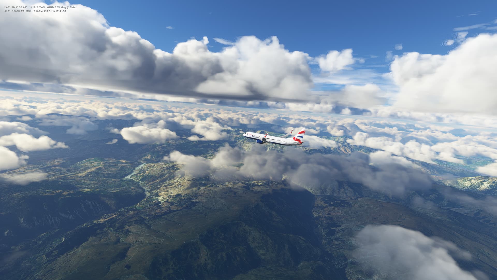
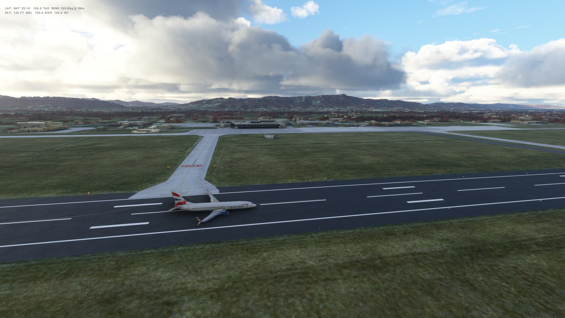
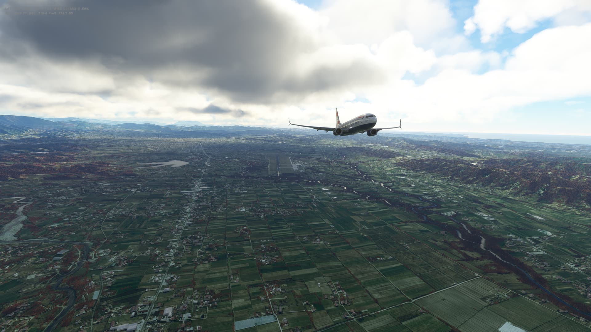
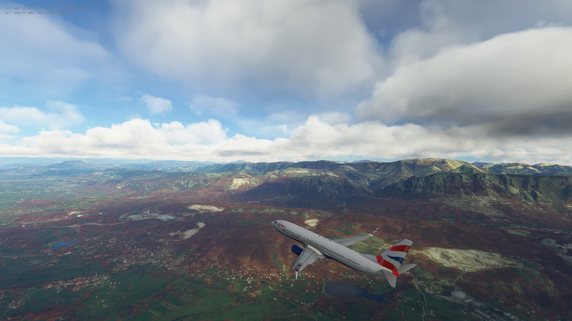
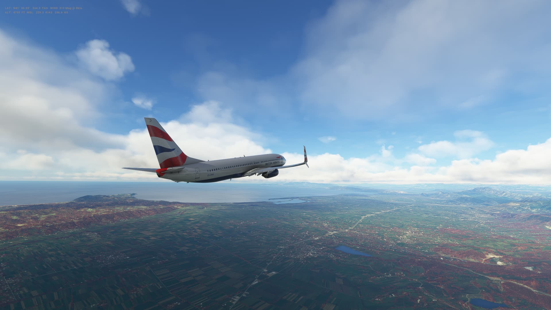
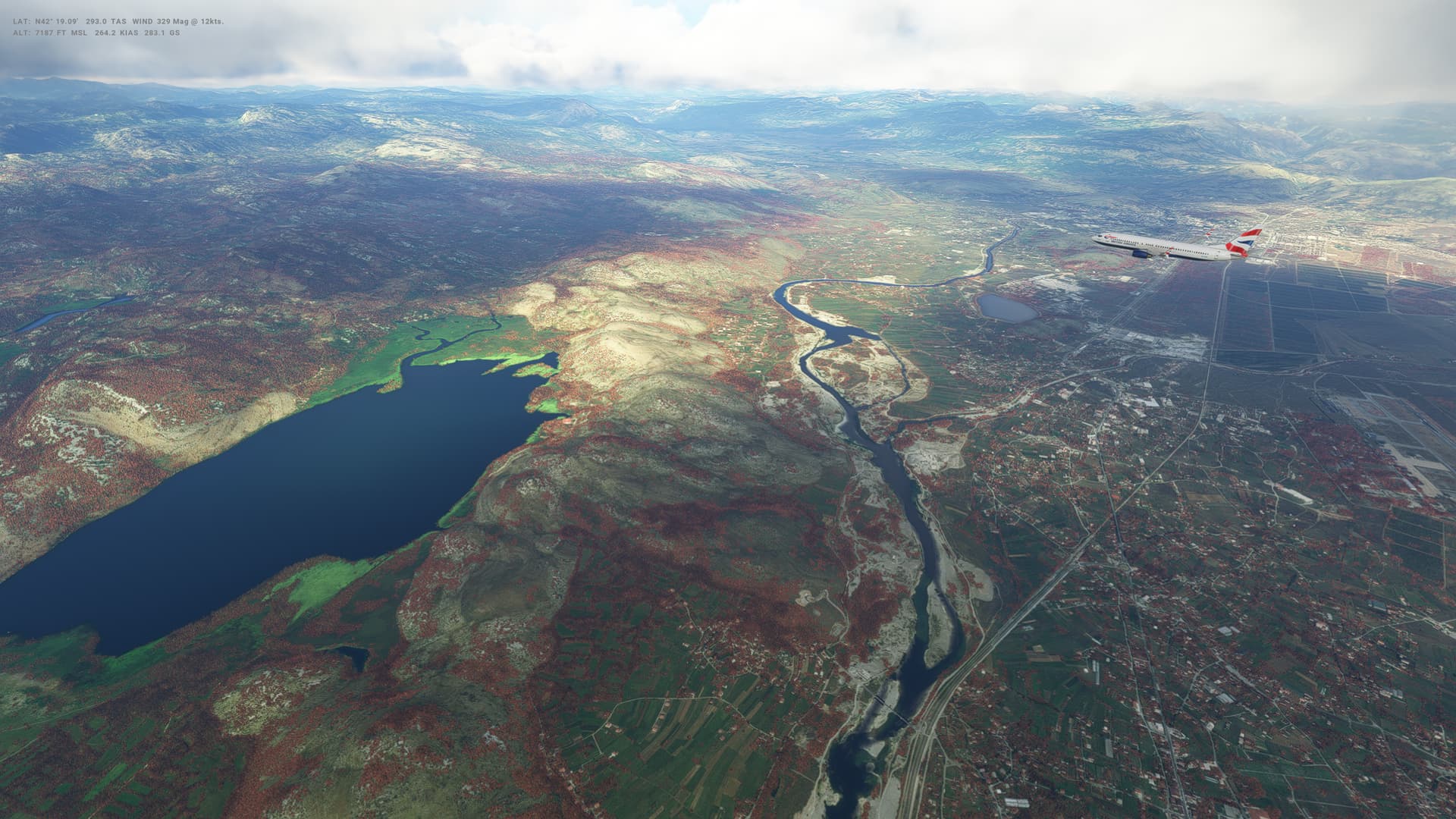
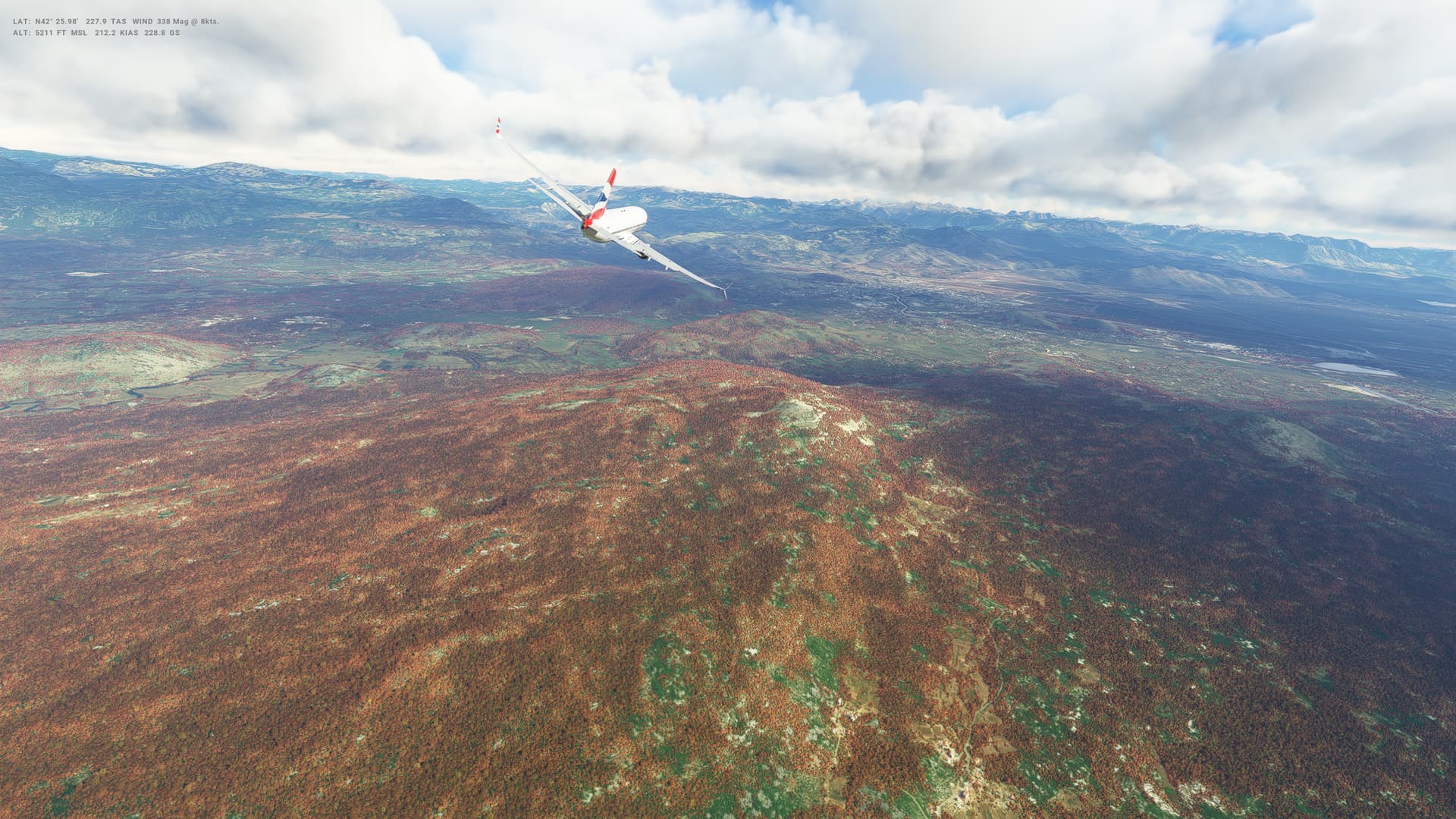
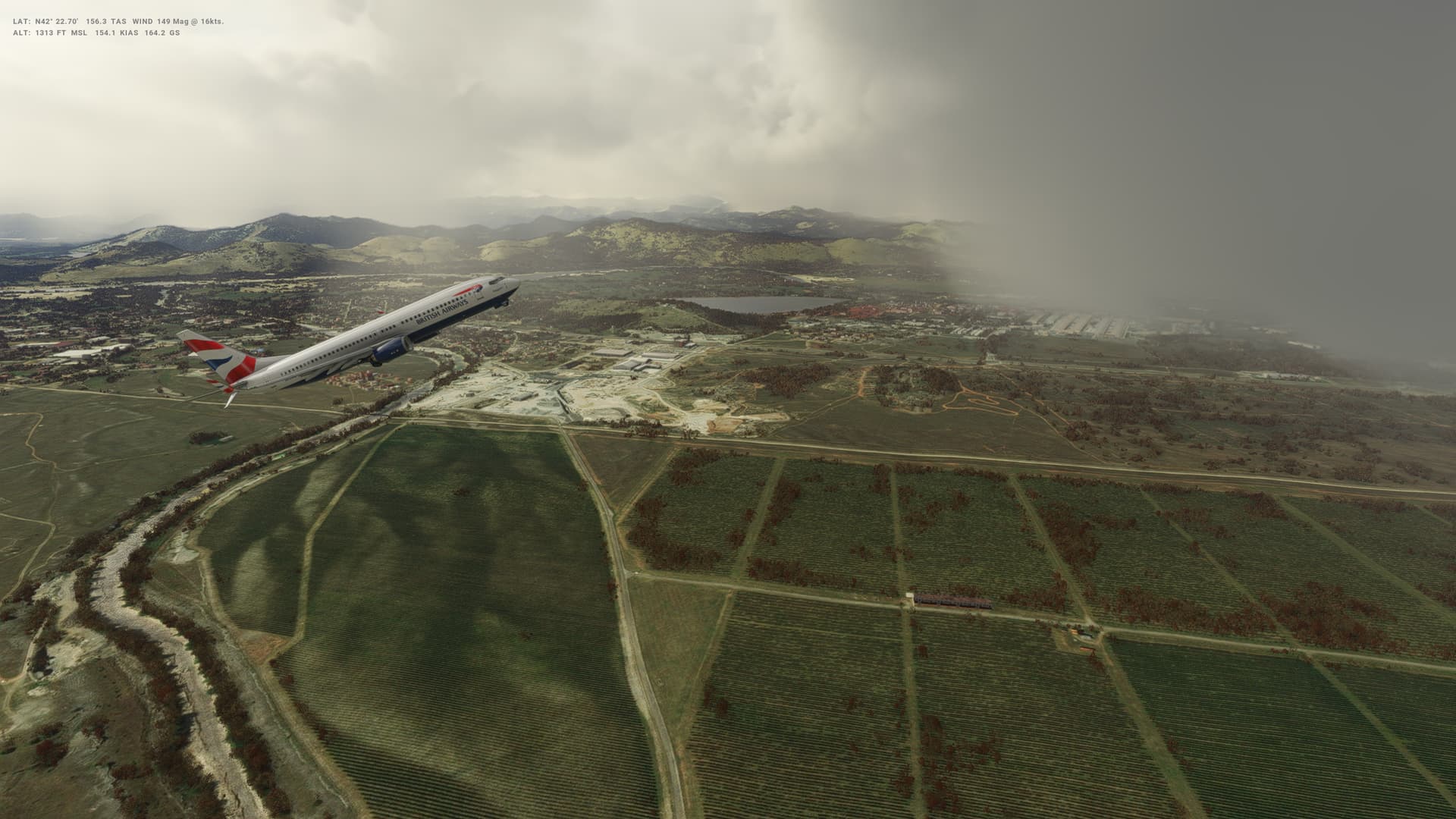
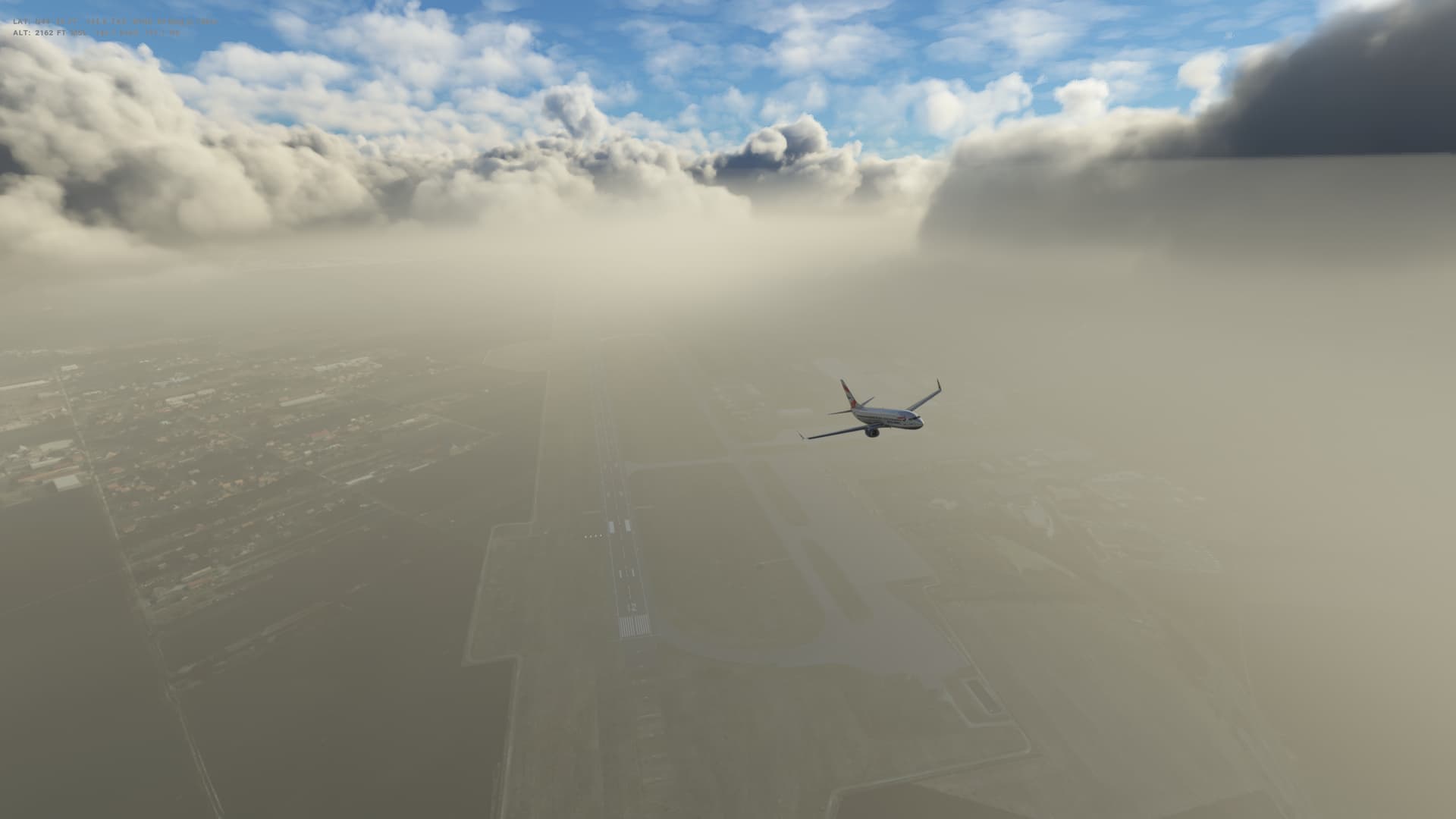
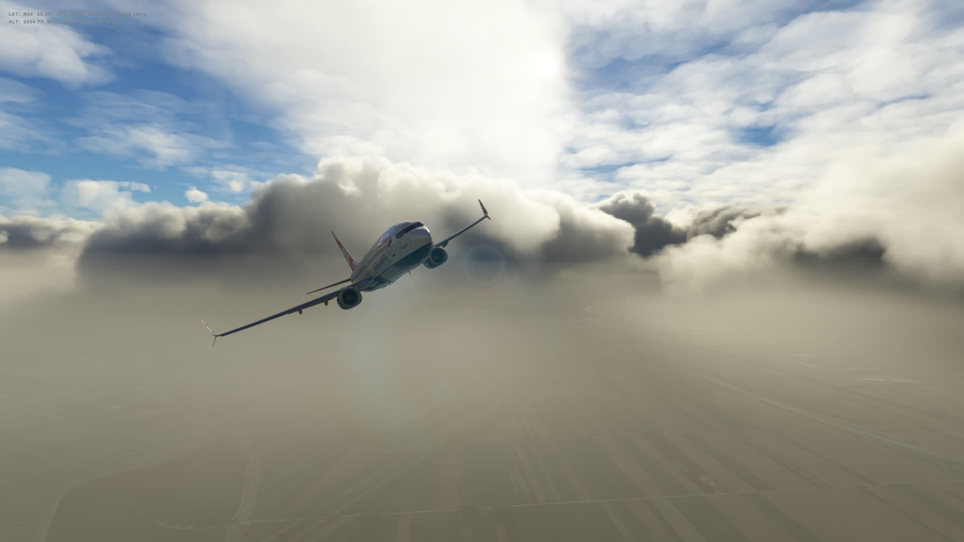
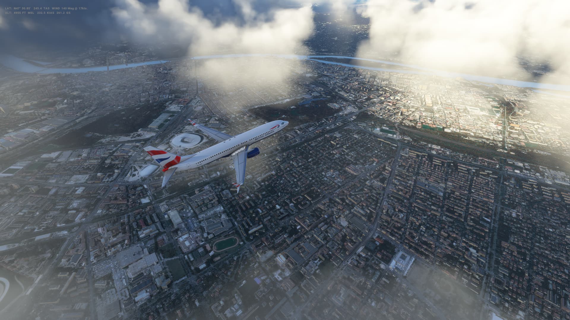
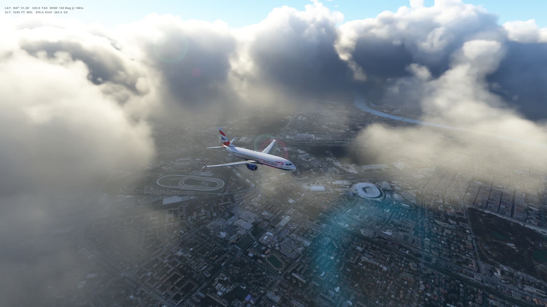
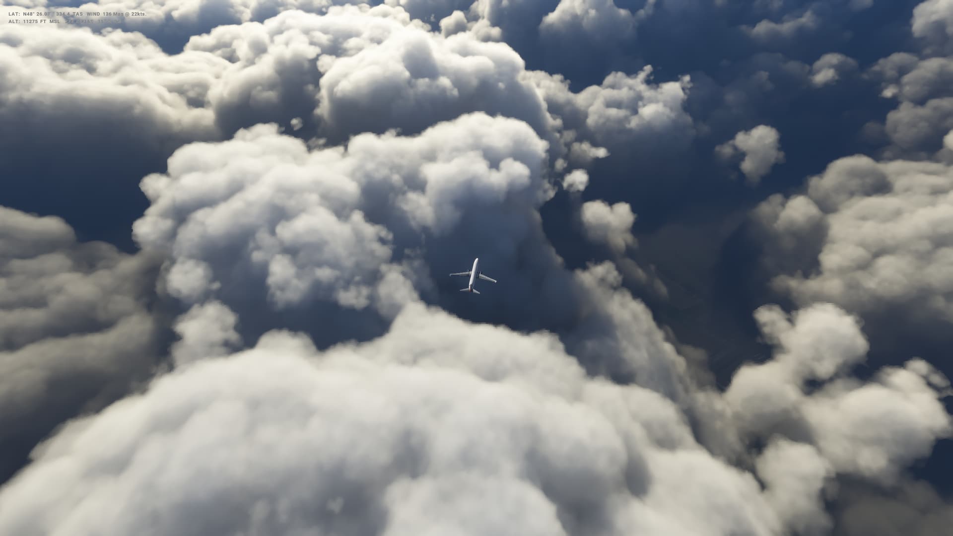
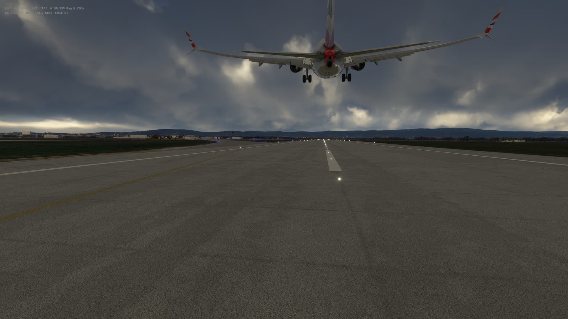
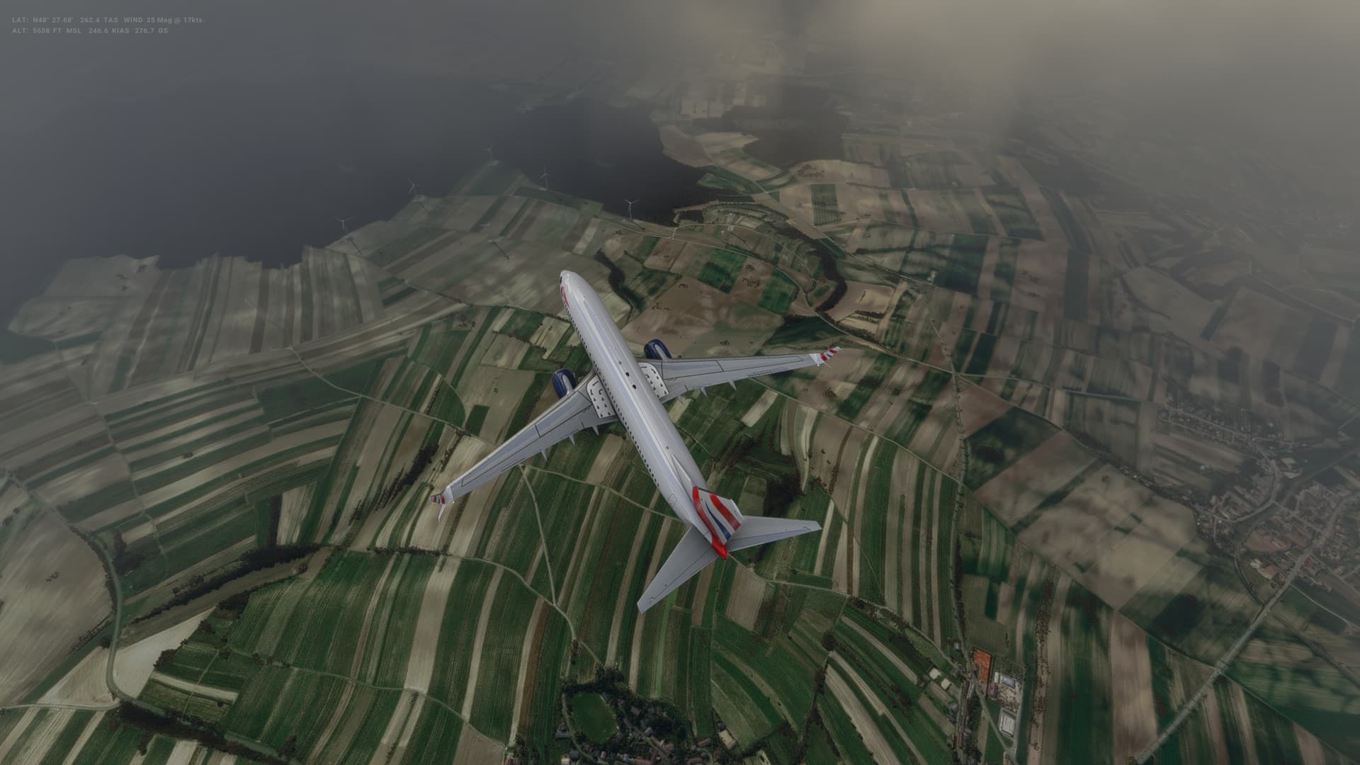
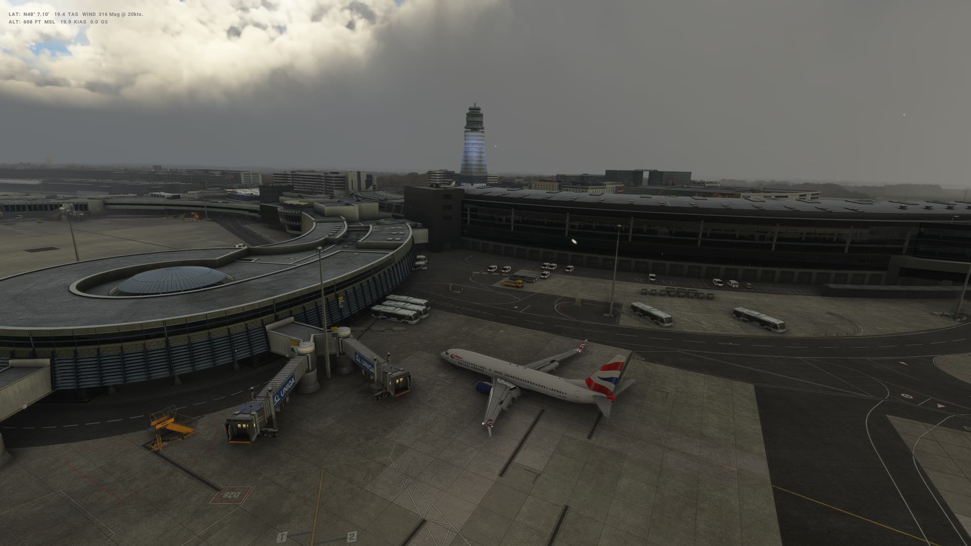
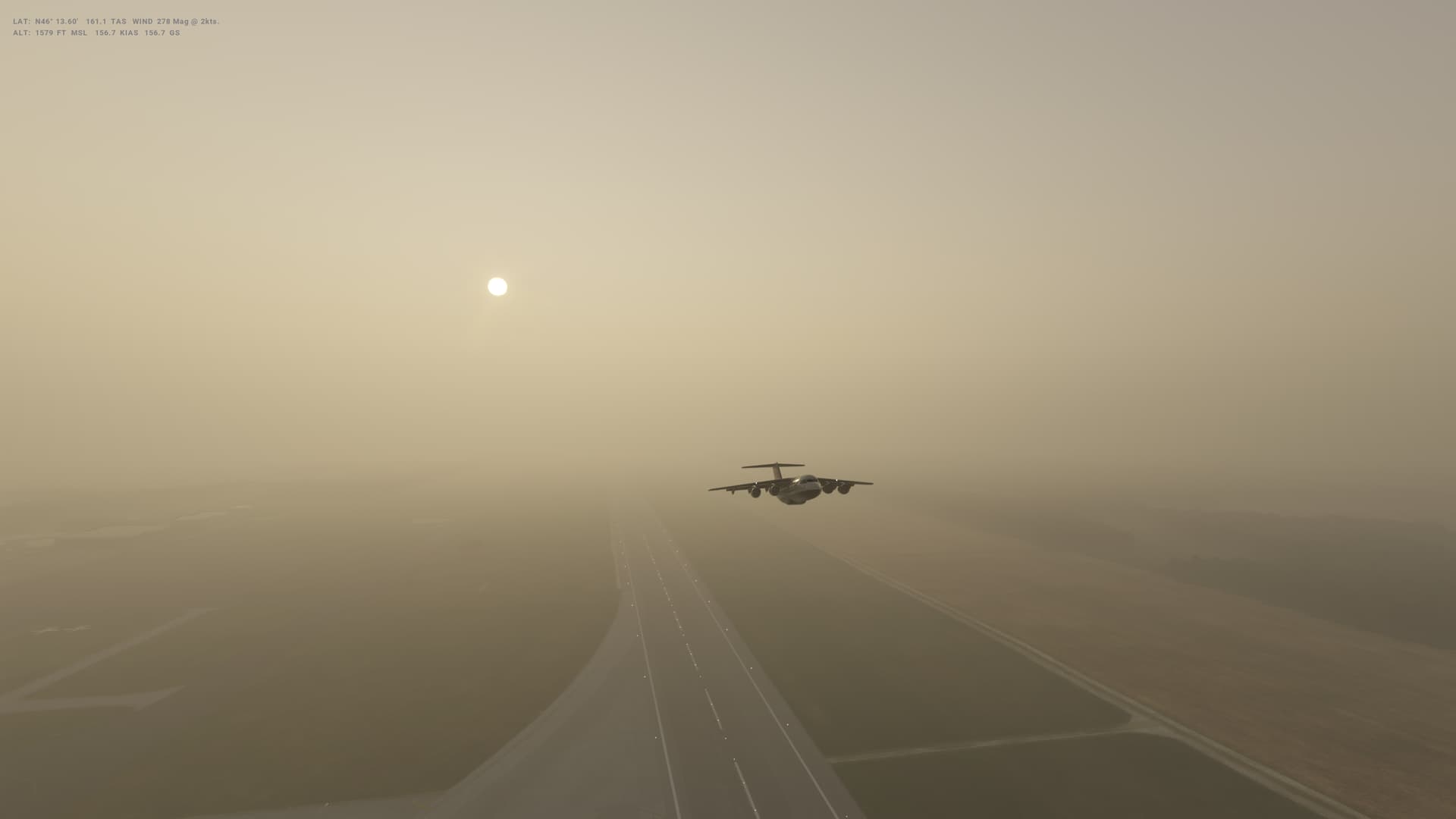
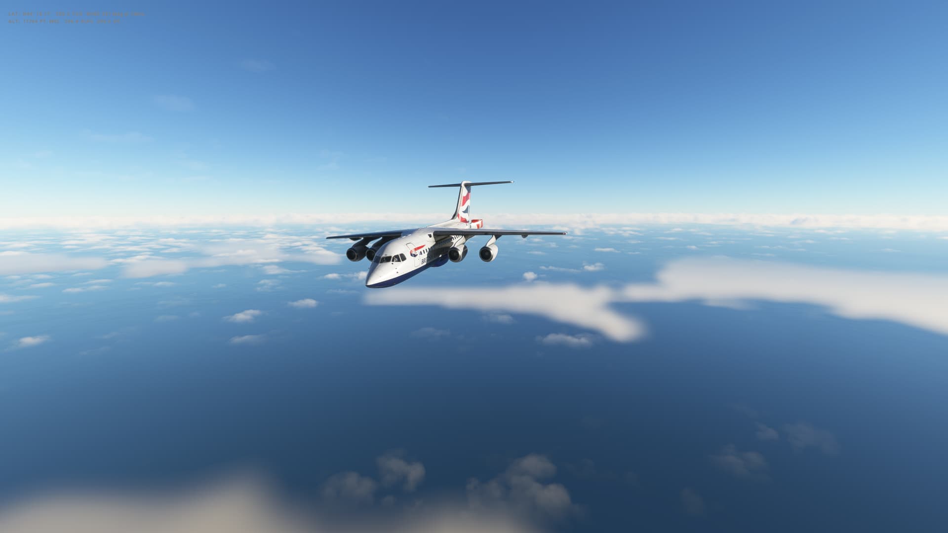
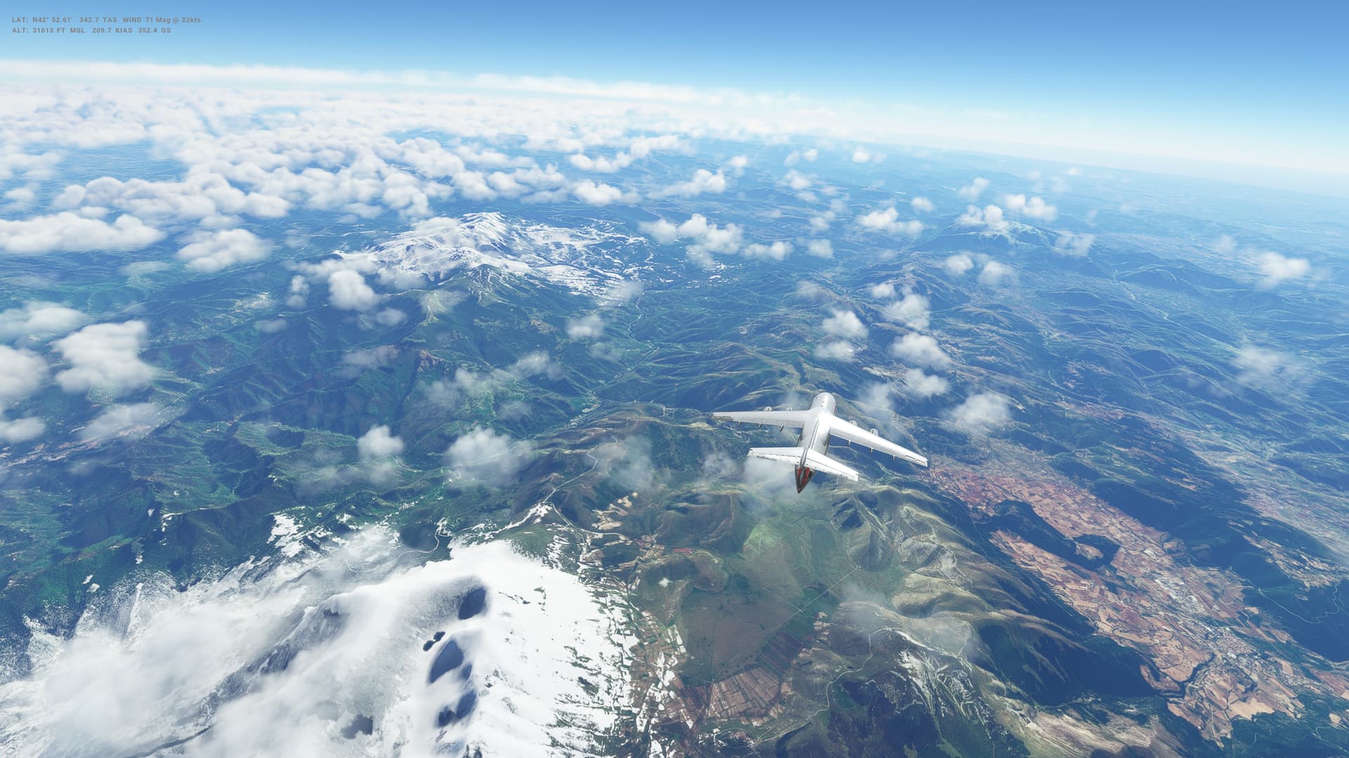
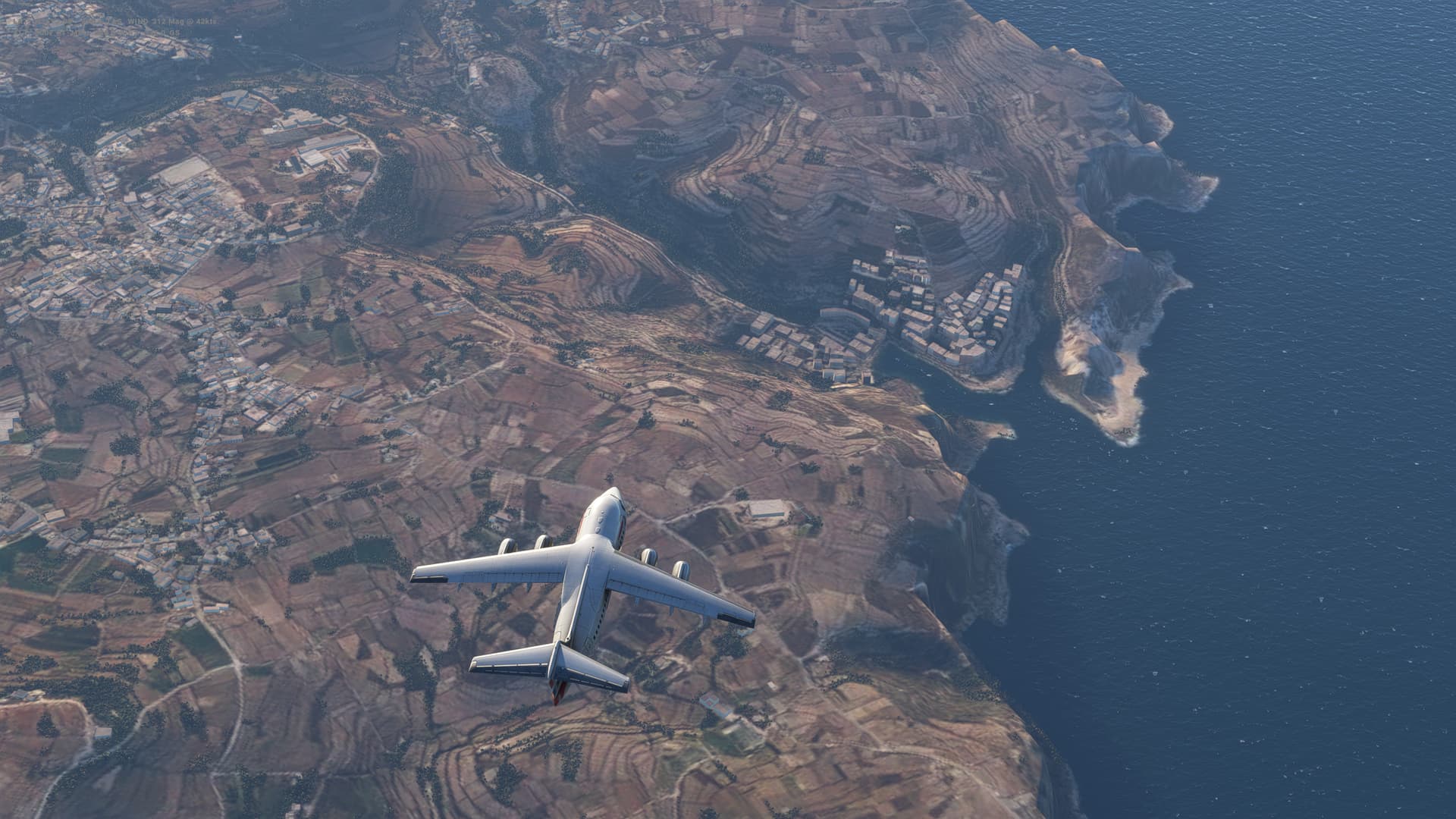
So 350 miles or so North from Nicosia in Cyprus to Ankara in Turkey across the Mediterranean Sea and then over the rocky, barren landscape of Turkey. Beautiful in the early morning sunshine though, and a beautiful sunrise to go with it.
Lovely flight this one.
Turkey
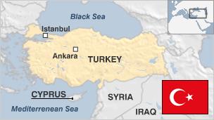
- Capital: Ankara
- Population 79.5 million
- Area 779,452 sq km (300,948 sq miles)
- Major languages Turkish (official), Kurdish
- Major religion Islam
- Life expectancy 72 years (men), 79 (women)
- Currency Turkish lira
Logbook
| This Leg |
Leg |
|
|
21 |
|
Date |
|
|
10/09/2022 |
|
Departure Airport |
ICAO |
|
LCEN |
|
|
Airport |
|
Ercan International Airport |
|
|
Capital City |
|
Nicosia |
|
|
Country |
|
Cyprus |
|
|
Runway |
|
29 |
|
Arrival Airport |
ICAO |
|
LTAC |
|
|
Airport |
|
Esenboga International Airport |
|
|
Capital City |
|
Ankara |
|
|
Country |
|
Turkey |
|
|
Runway |
|
03R |
|
Actual Time (Local) |
Pushback Time |
|
06:00 |
|
|
Take Off Time |
|
06:15 |
|
|
Touchdown Time |
|
07:24 |
|
|
Arrival Time |
|
07:27 |
|
|
Air time |
|
01:09 |
|
|
Total Time |
|
01:27 |
|
Ground Distance (Nm) |
|
|
345 |
|
Air Distance (Nm) |
|
|
347 |
|
Great Circle Distance (Nm) |
|
|
300 |
|
Fuel Start (Kgs) |
|
|
6,989 |
|
Fuel End (Kgs) |
|
|
3,113 |
|
Fuel Used (Kgs) |
|
|
3,876 |
|
SID |
|
|
GIRNE1B |
|
Route |
|
|
LCEN/29 GIRNE1B GIRNE DCT DOREN A28 MERAM UA28 NEKES A28 UMDOT UA28
MUT A28 OBRUK UA28 ERKUK A28 TELVO TELVO1R LTAC/03R |
|
STAR |
|
|
TELVO1R |
|
Approach |
|
|
ILS V 03R |
|
Passengers |
|
|
184 |
|
Cargo (000 Kgs) |
|
|
4,400 |
|
Take Off Weight (000 Kgs) |
|
|
69.3 |
|
Cruising Altitude (feet) |
|
|
23,000 |
| Cumulative |
Ground Distance (Nm) |
|
|
7,887 |
|
Air Distance (Nm) |
|
|
7,871 |
|
Great Circle Distance (Nm) |
|
|
6,266 |
|
Total air time |
|
|
08:37 |
|
Total time |
|
|
01:12:41 |
|
Fuel Used (Kgs) |
|
|
52,111 |
Flightplan:
IFR Ercan International Airport (LCEN) to Esenboga (LTAC).lnmpln (3.2 KB)
Timelapse Video
Screenshots
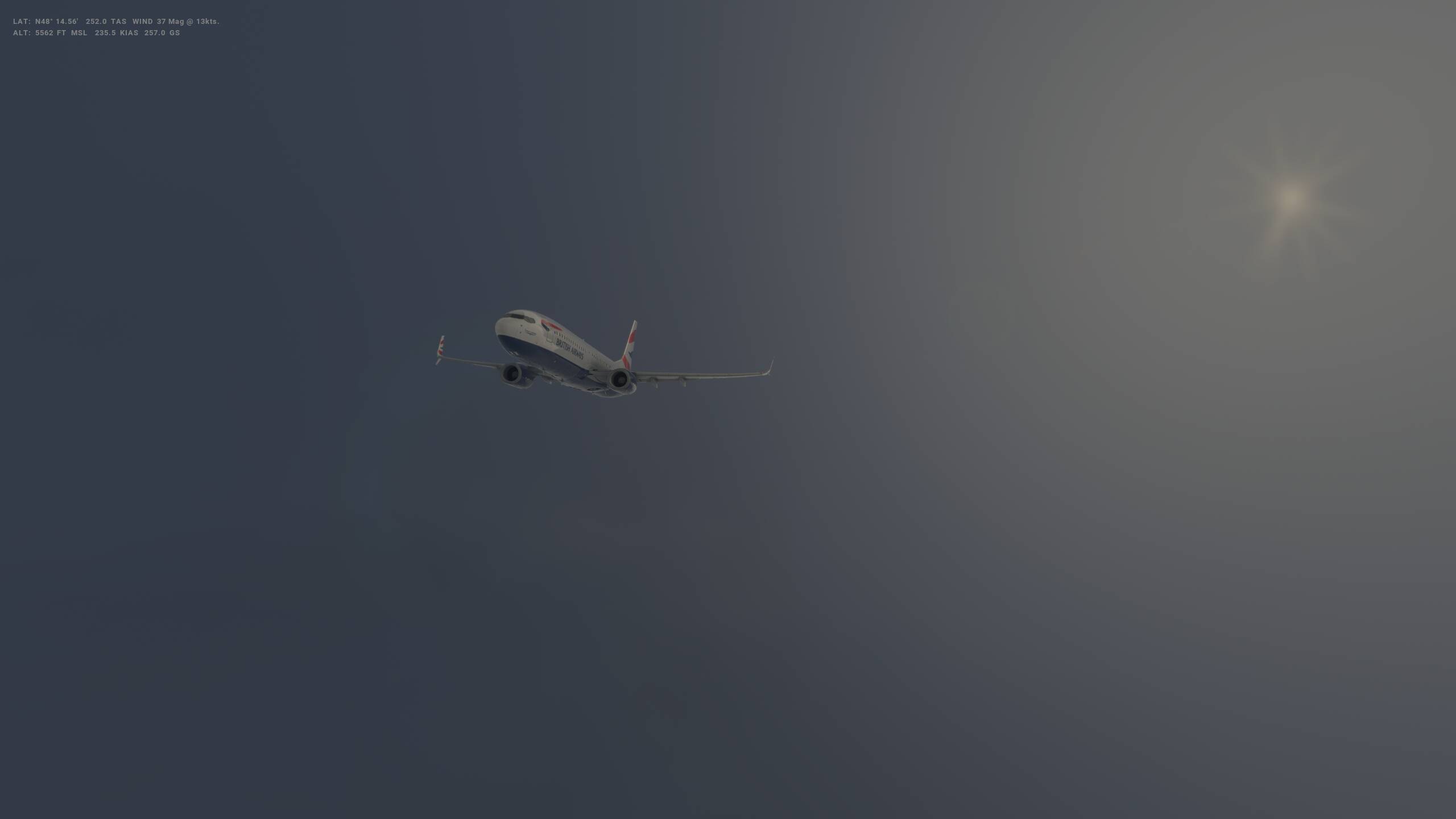
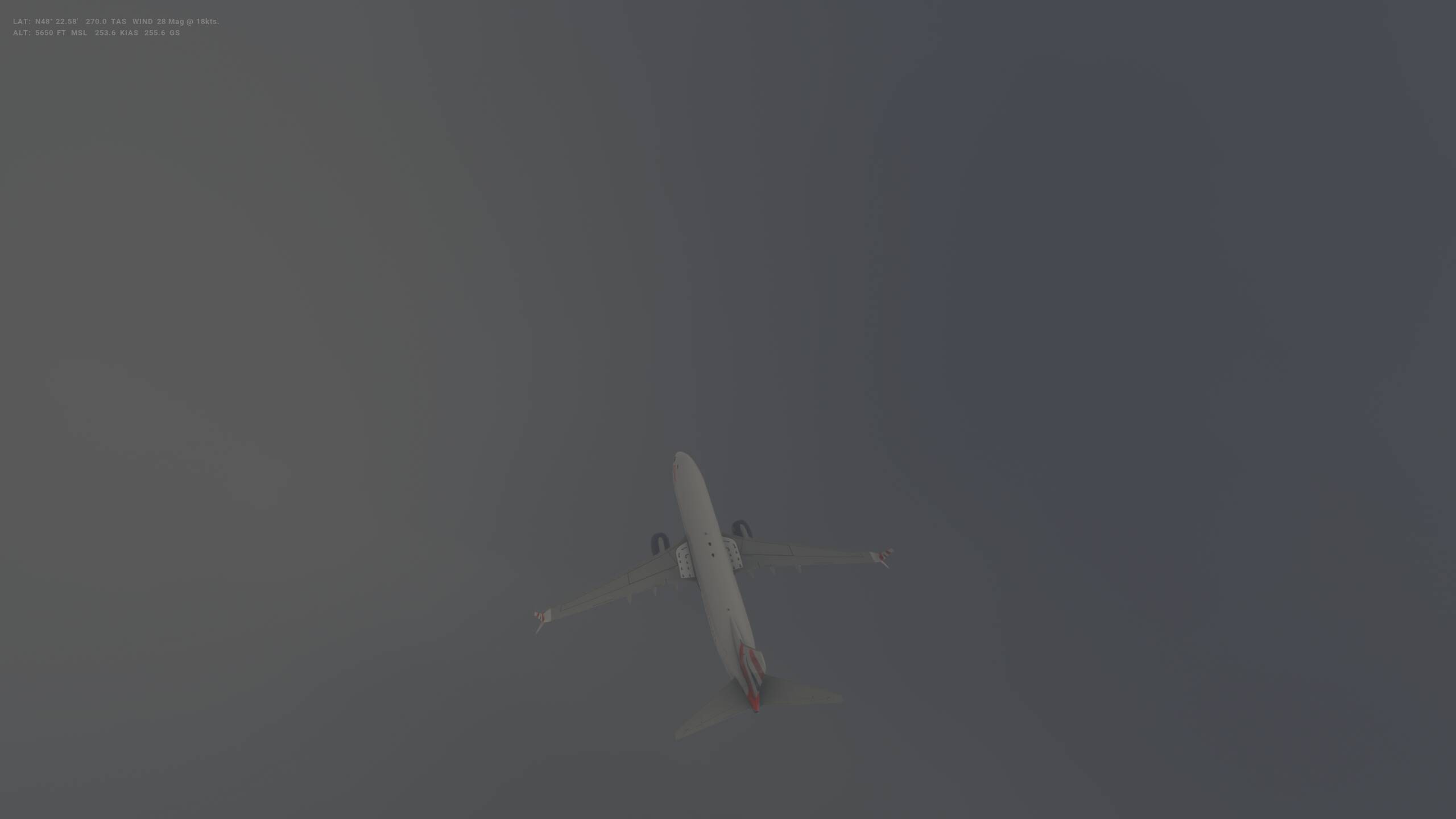
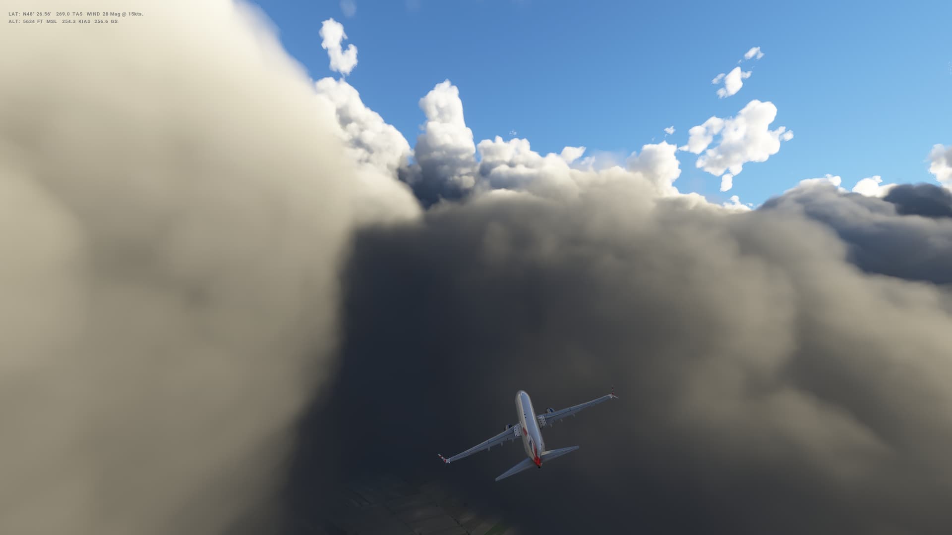
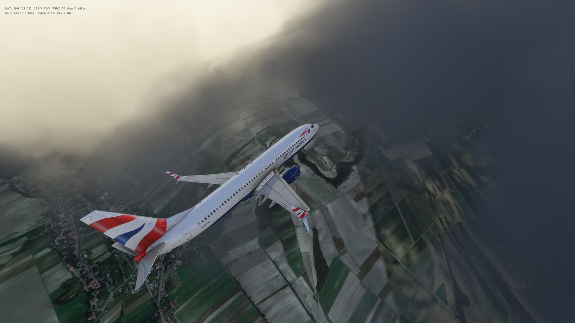
Take Off
Cruise
Landing
Overall route so far
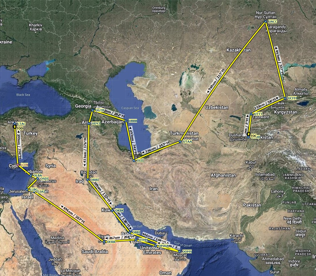
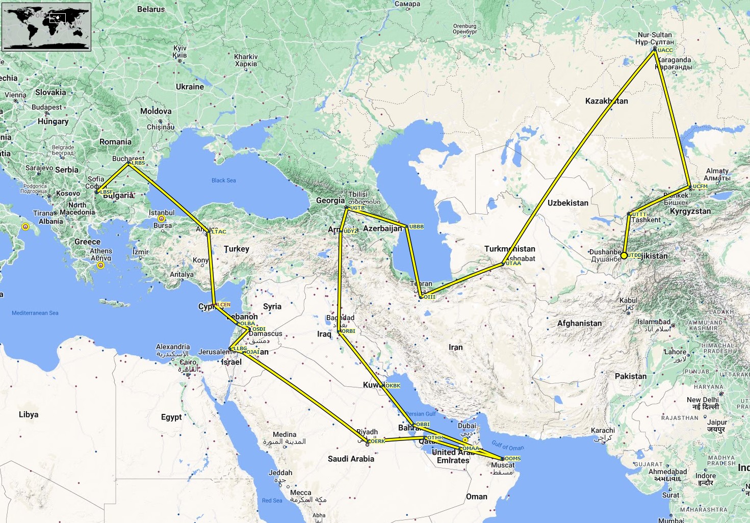
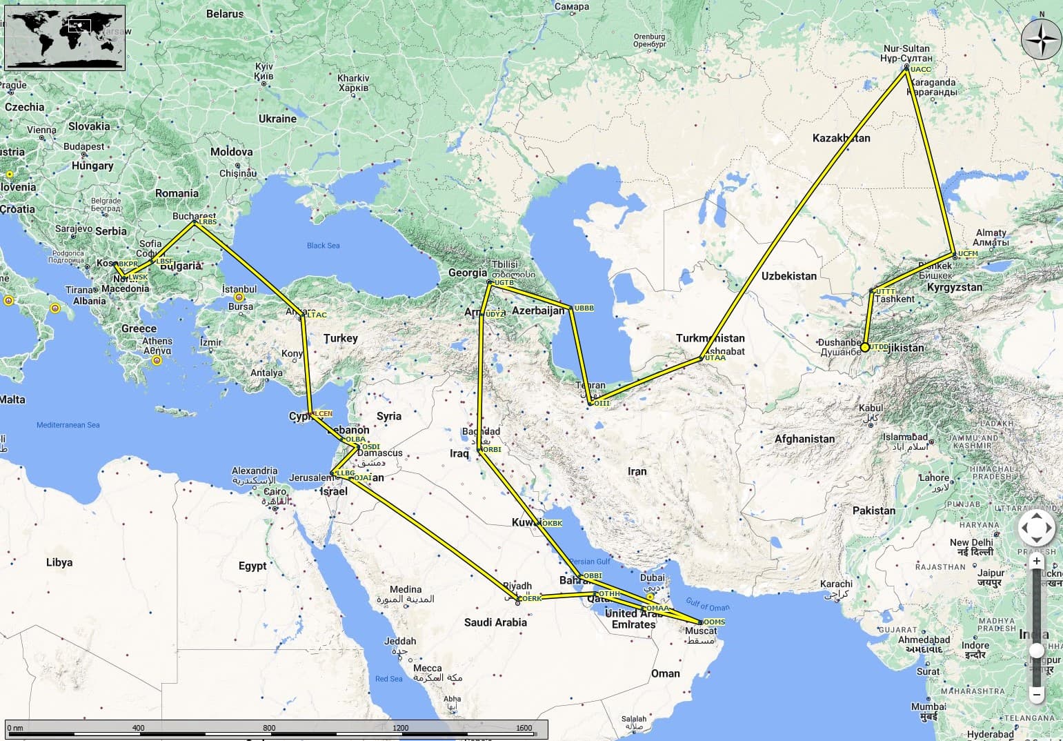
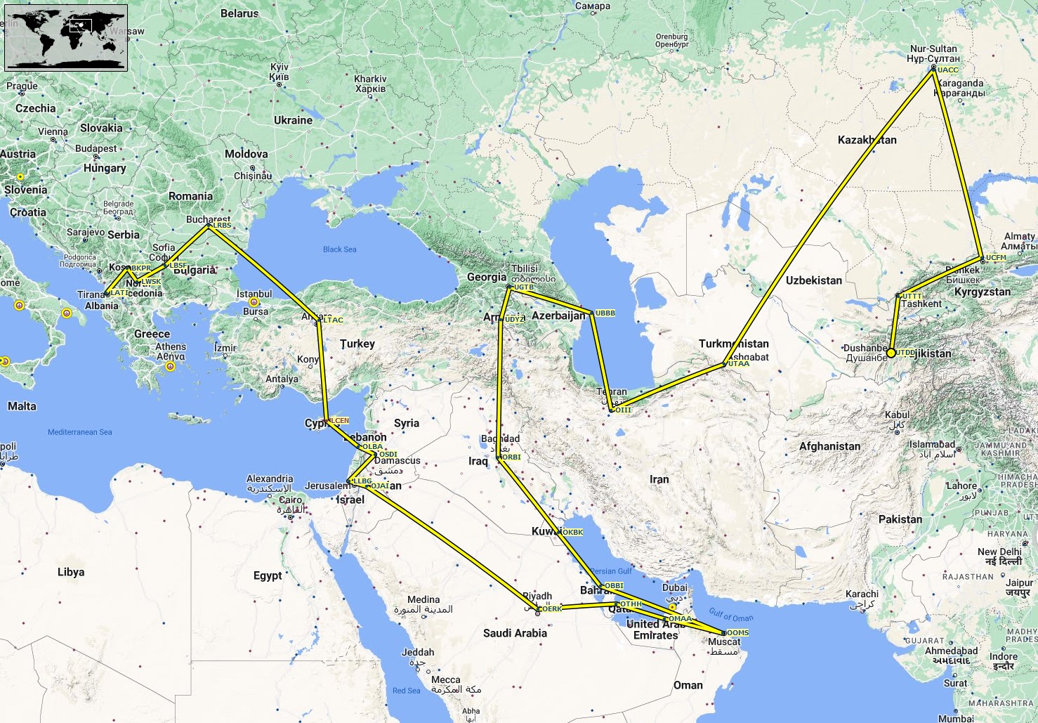
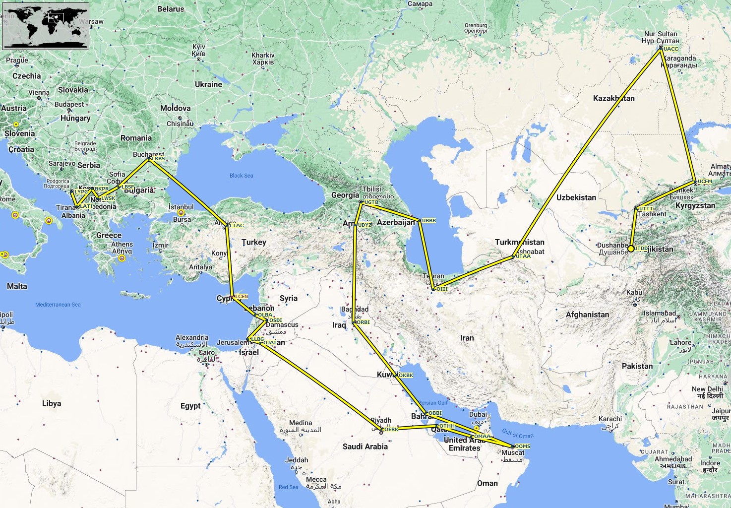
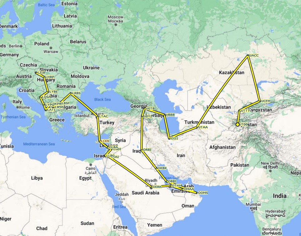
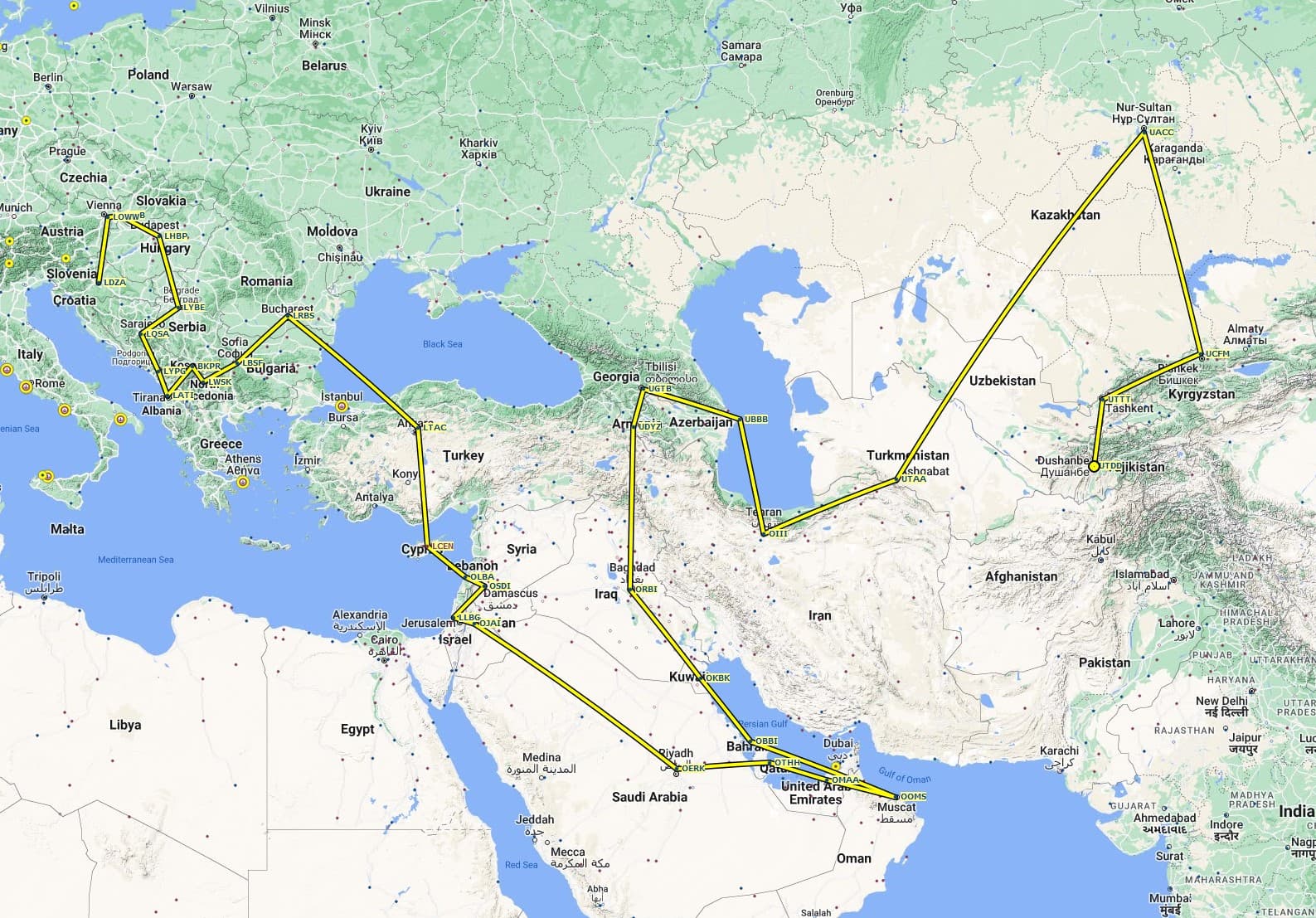
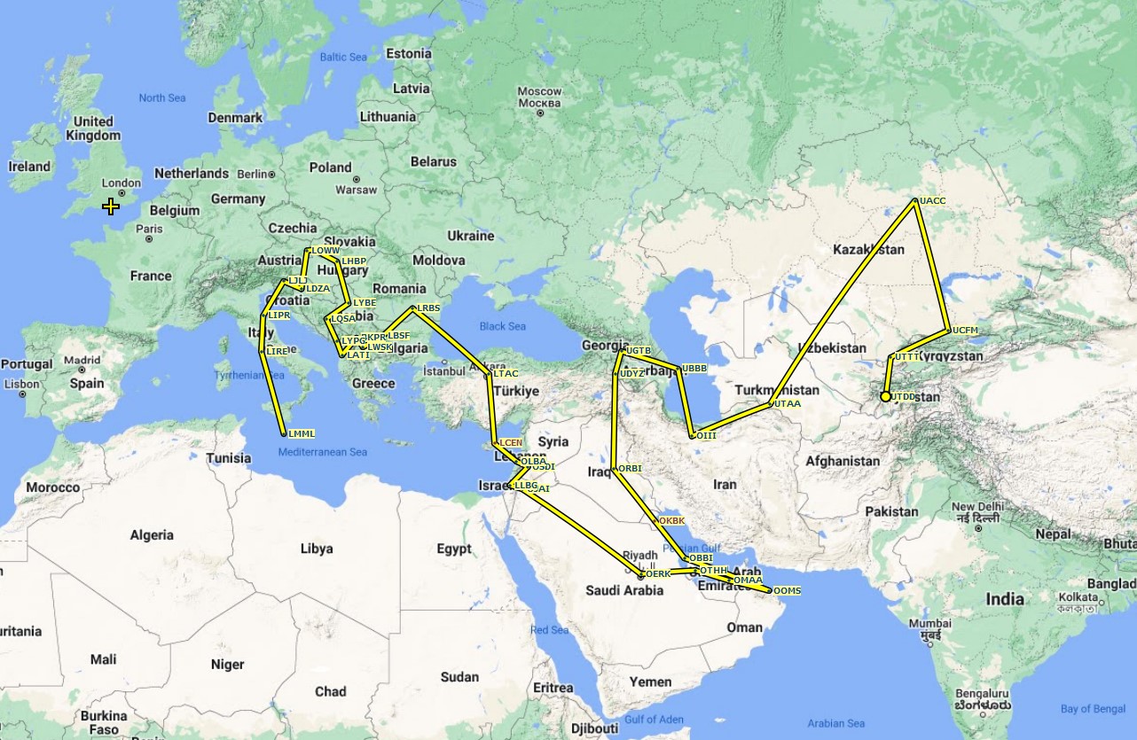
UTDD UTTT UCFM UACC UTAA OIII UBBB UGTB UDYZ ORBI OKBK OBBI OOMS OMAA OTHH OERK OJAI LLBG OSDI OLBA LCEN LTAC
Leg 22: Ankara (LTAC), Turkey to Bucaresti (LRBS), Romania
Summary
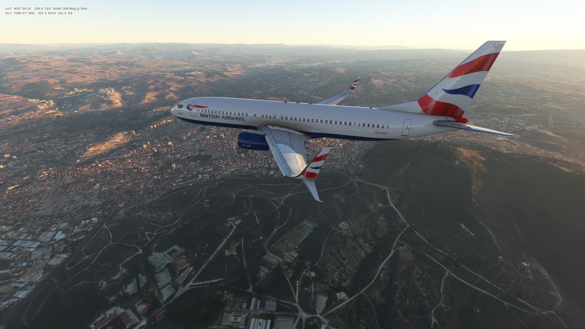
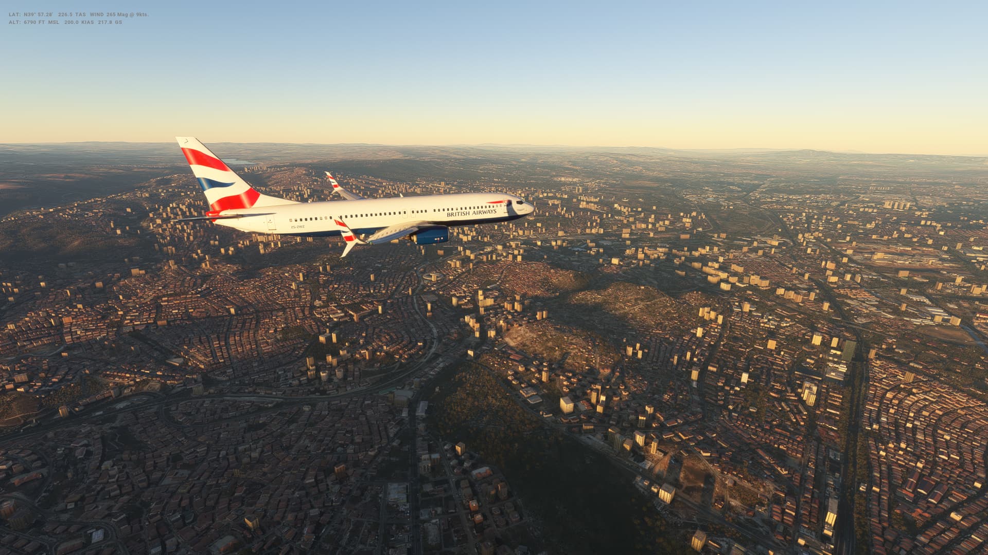
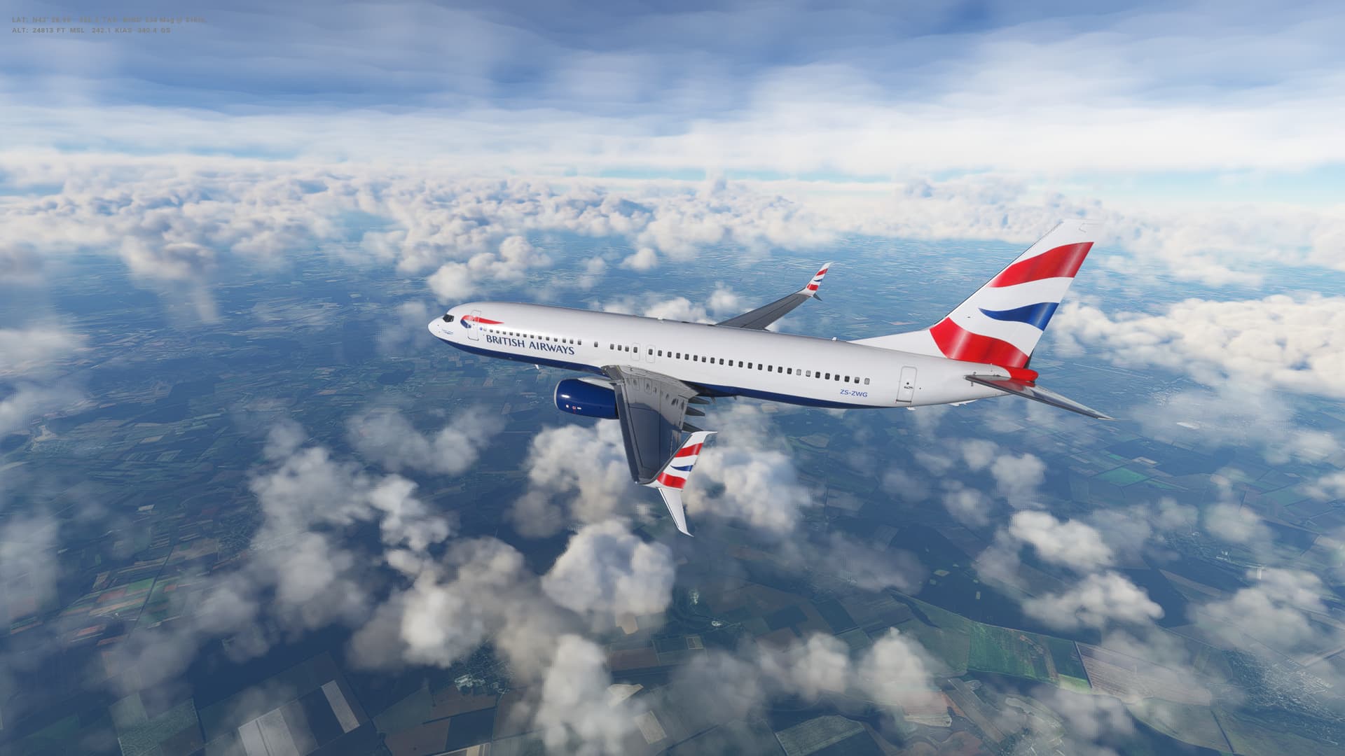
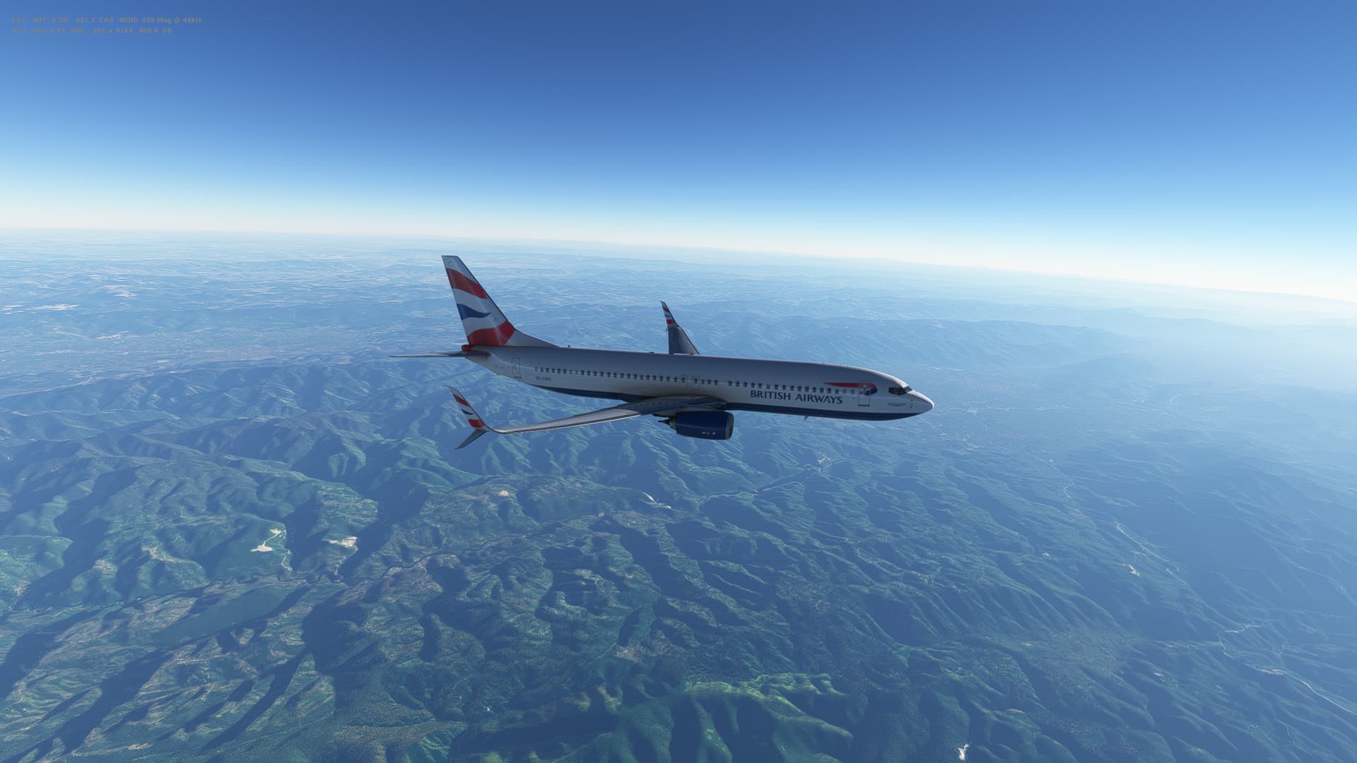
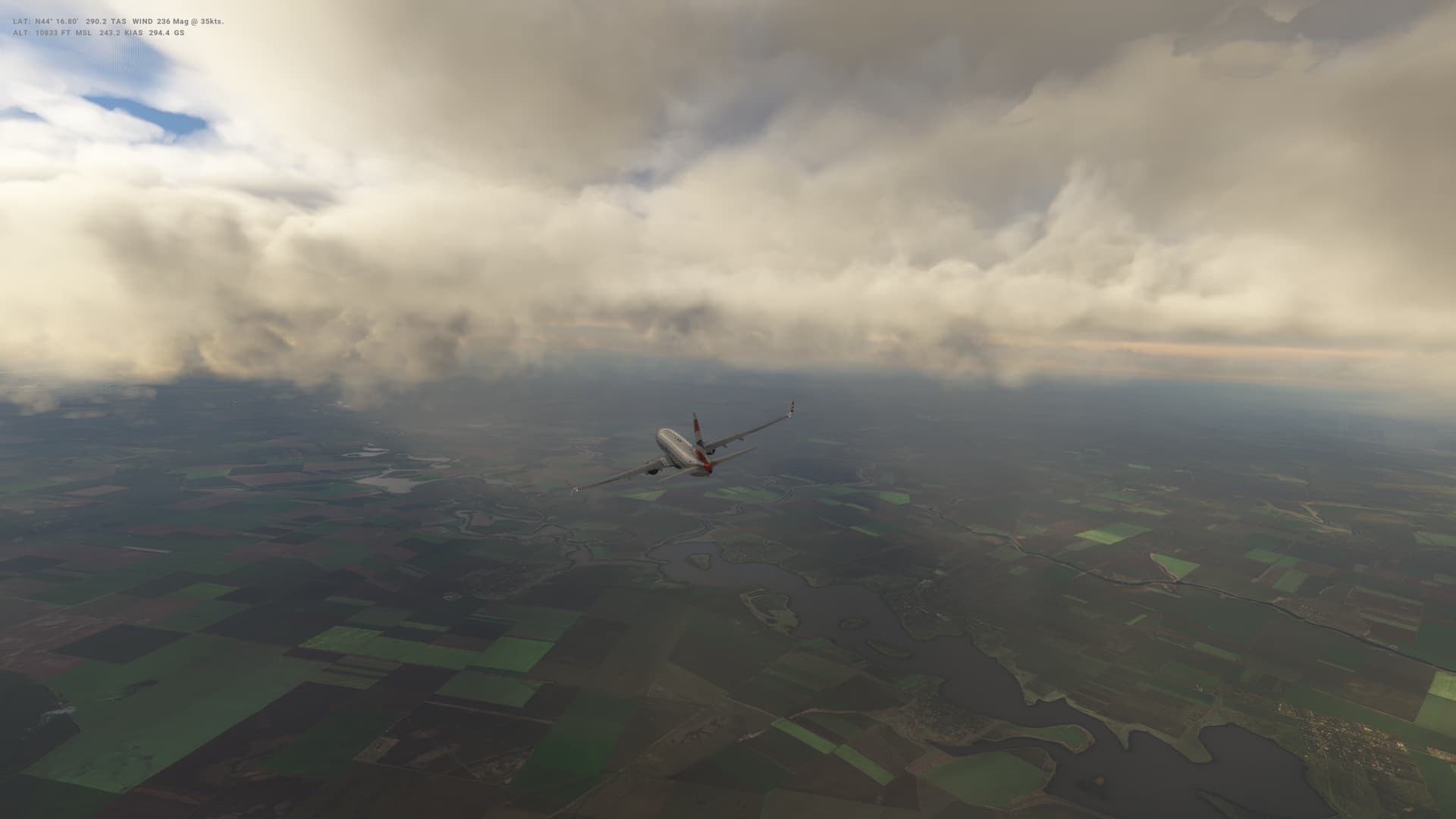
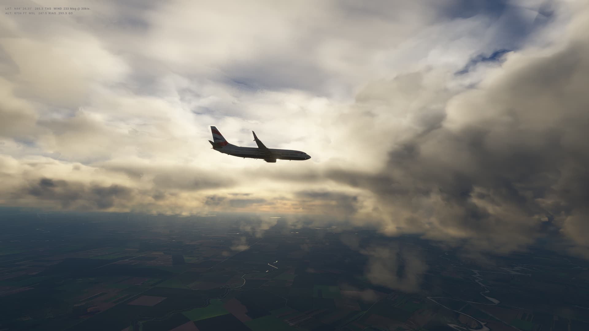
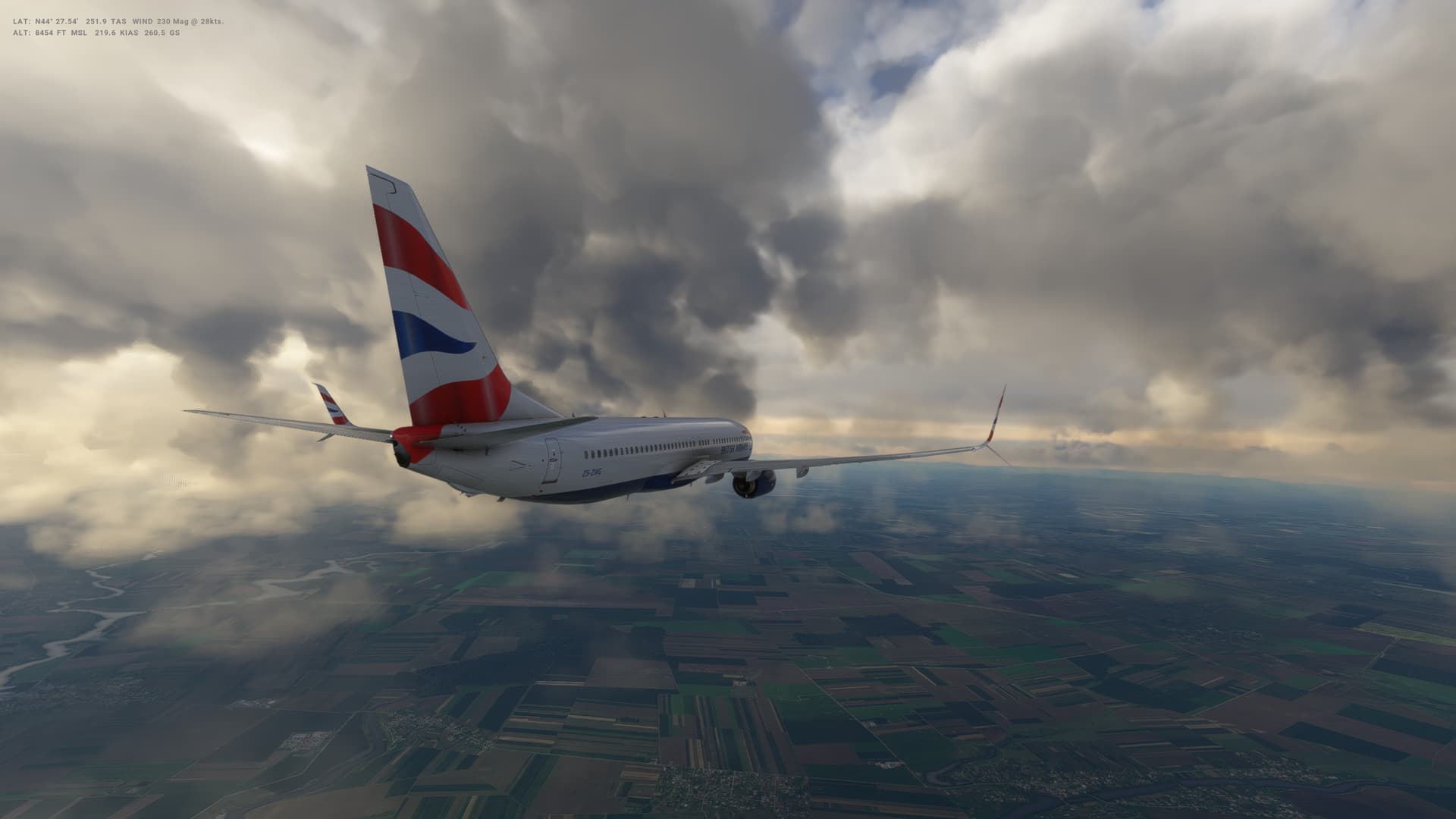
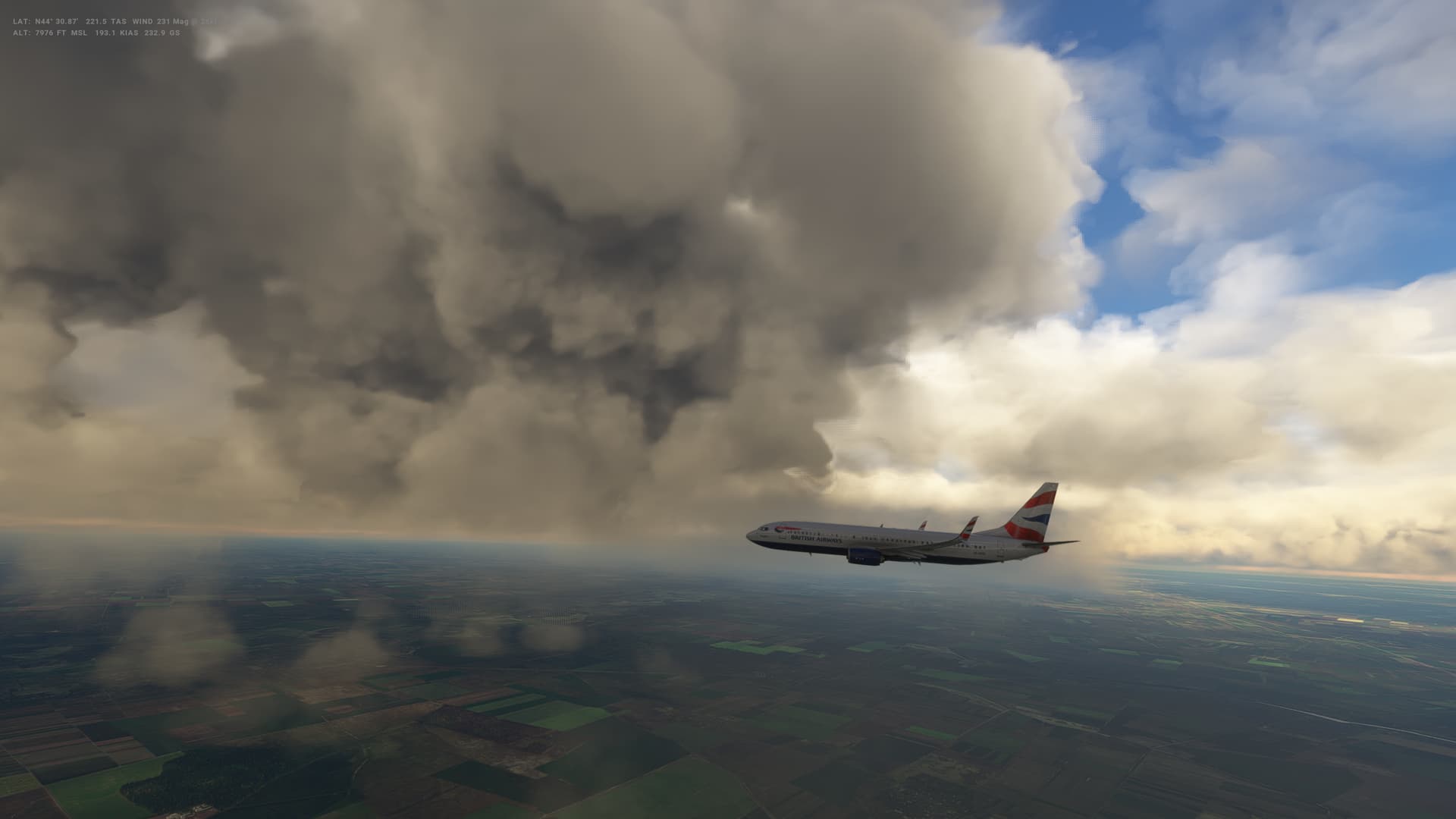
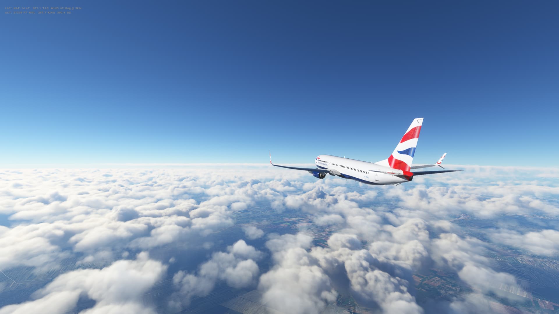
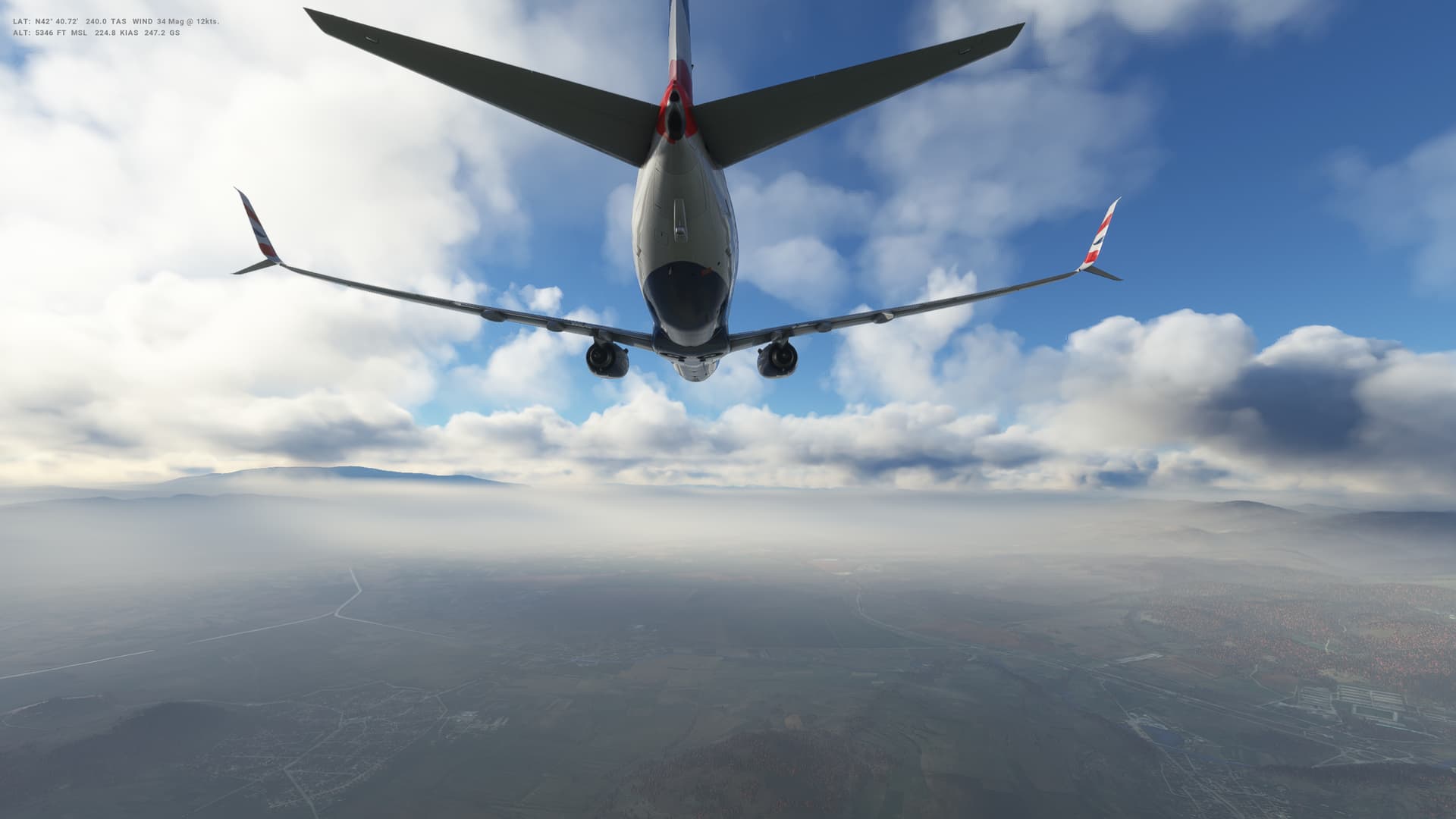
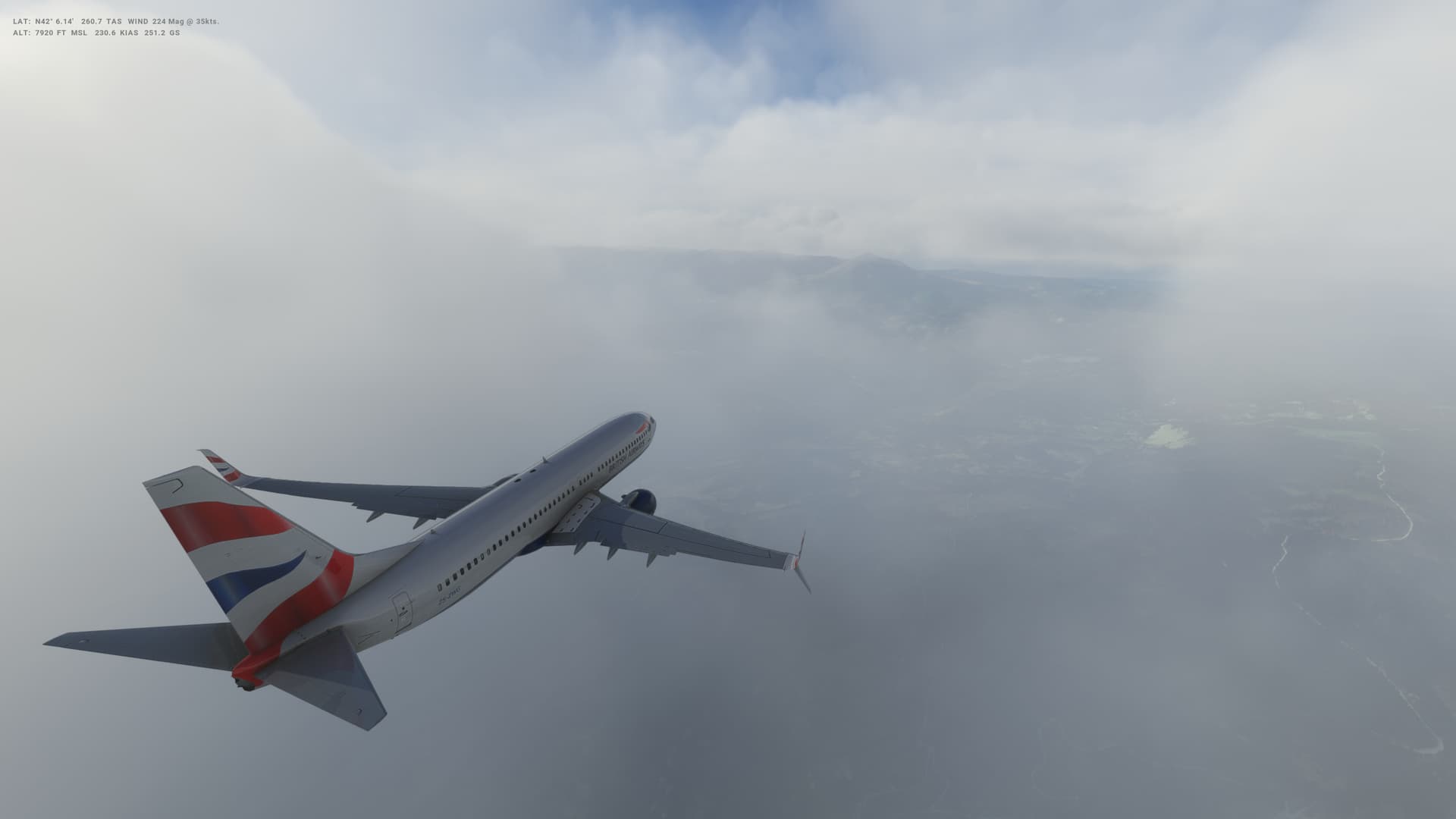
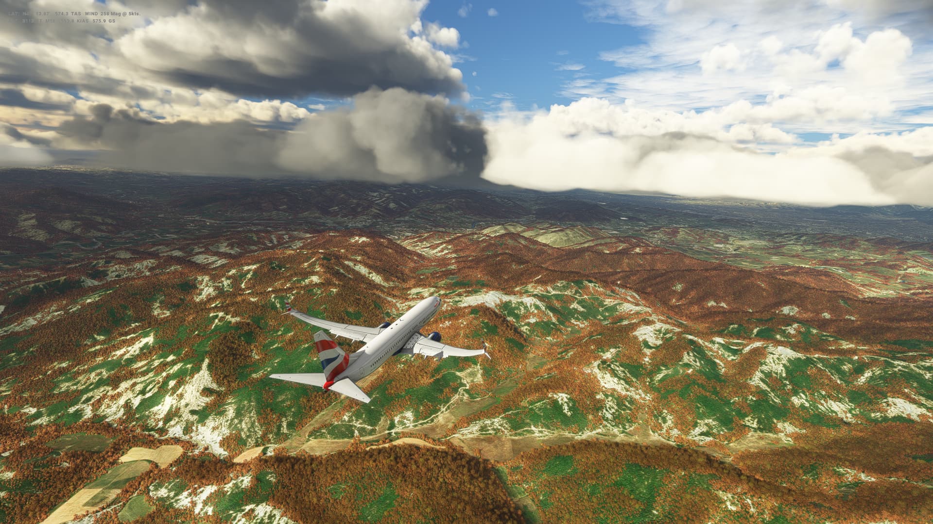
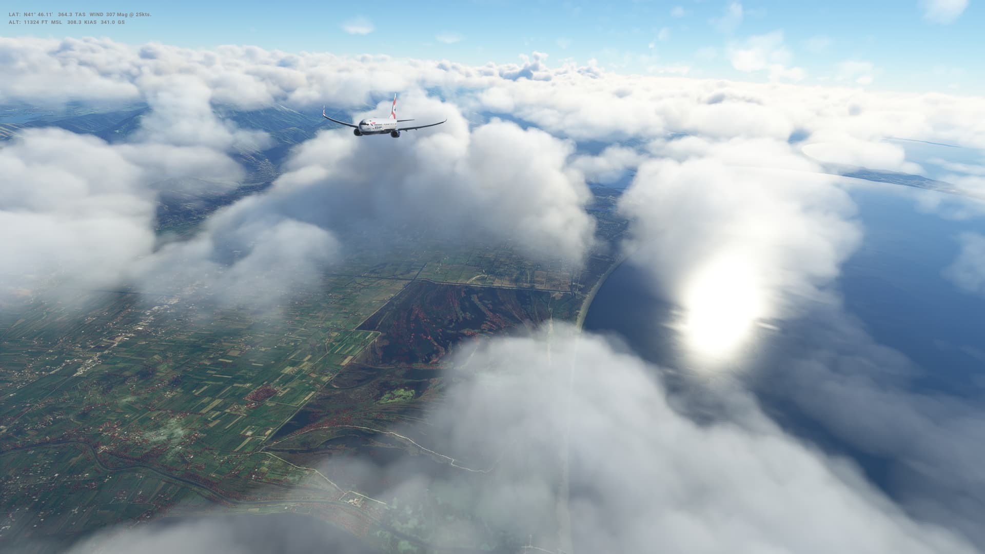
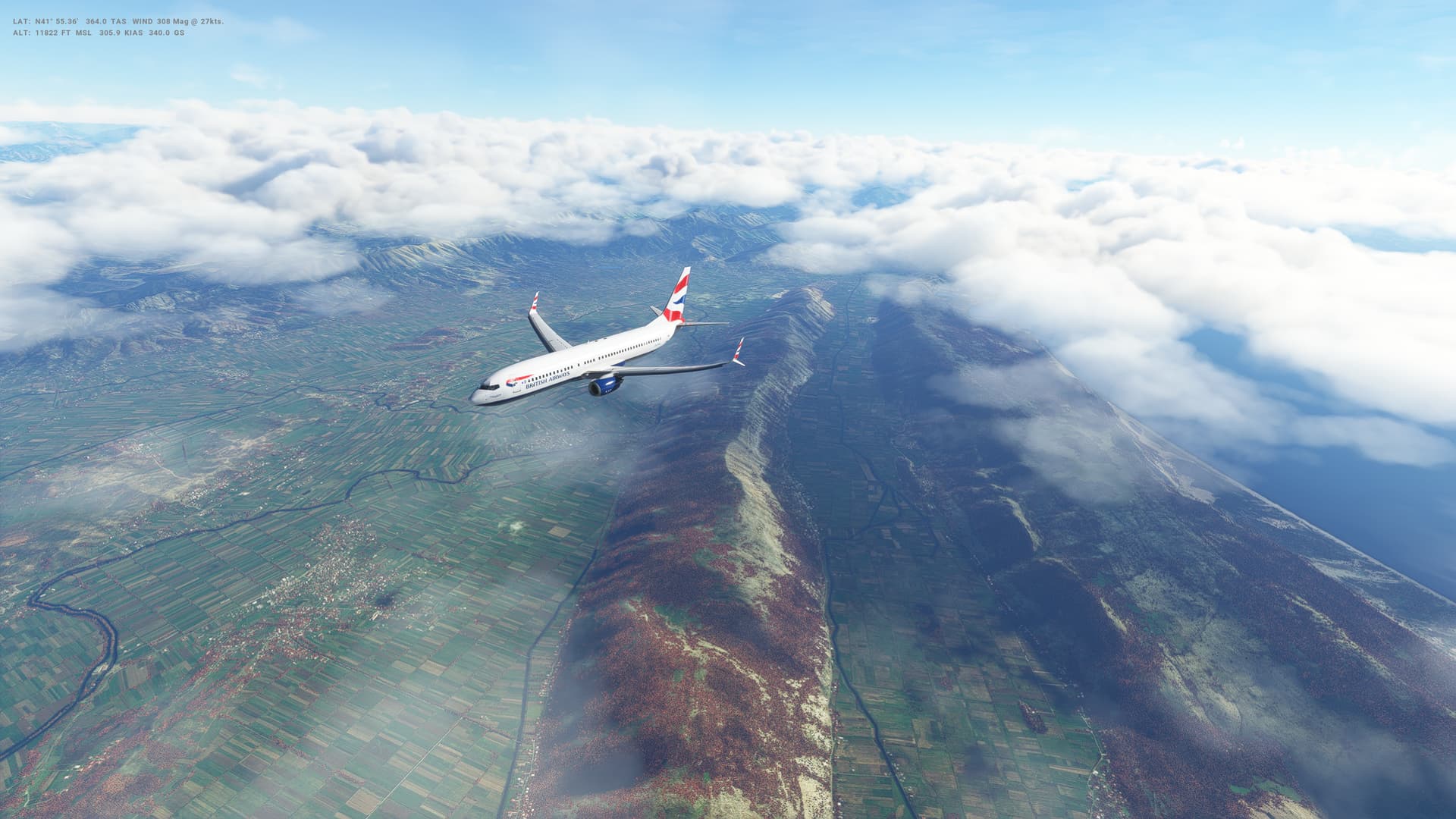
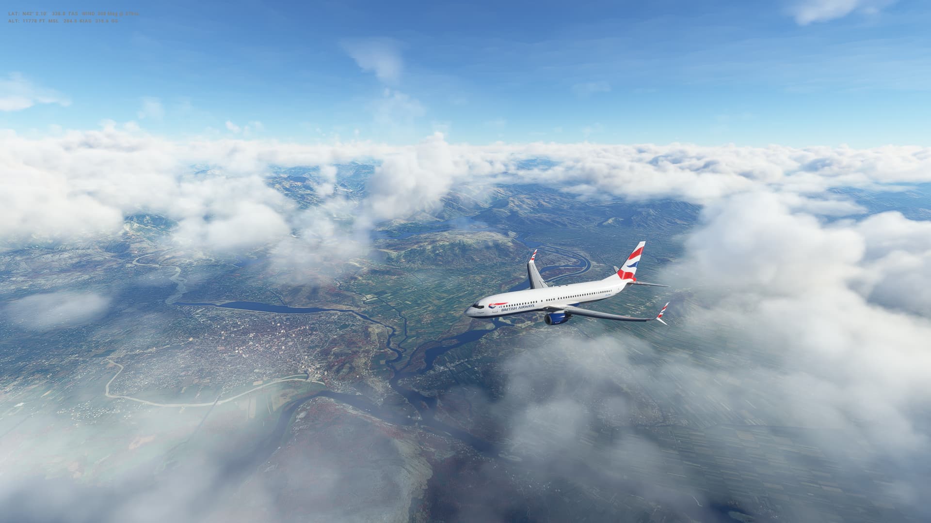
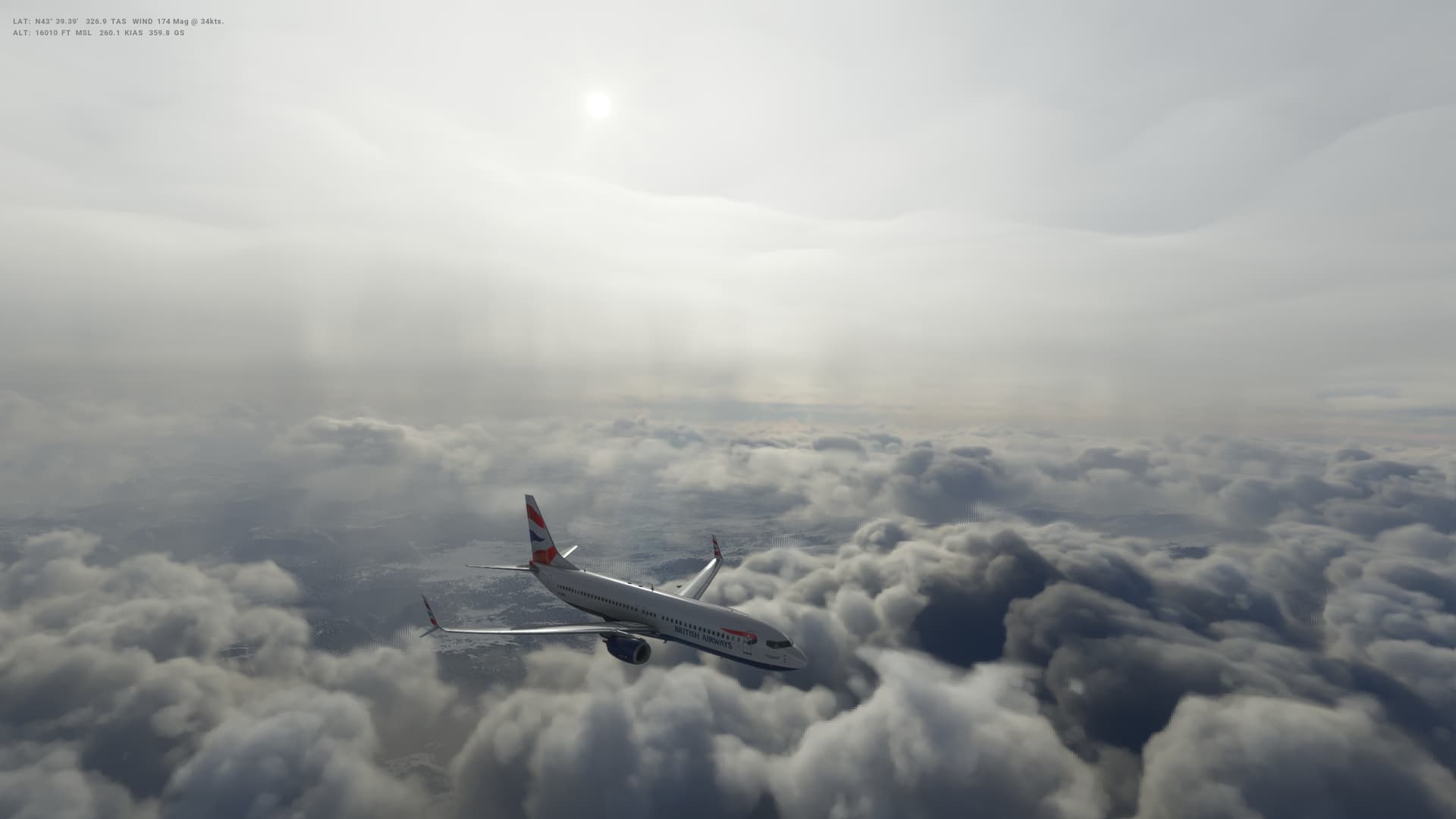
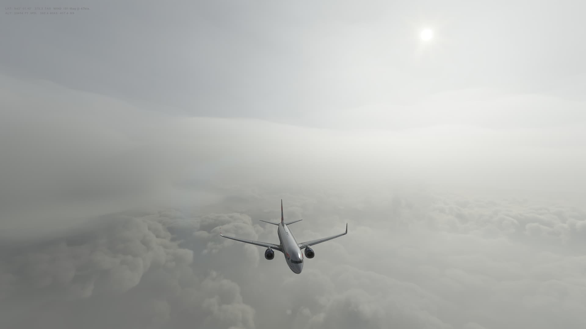
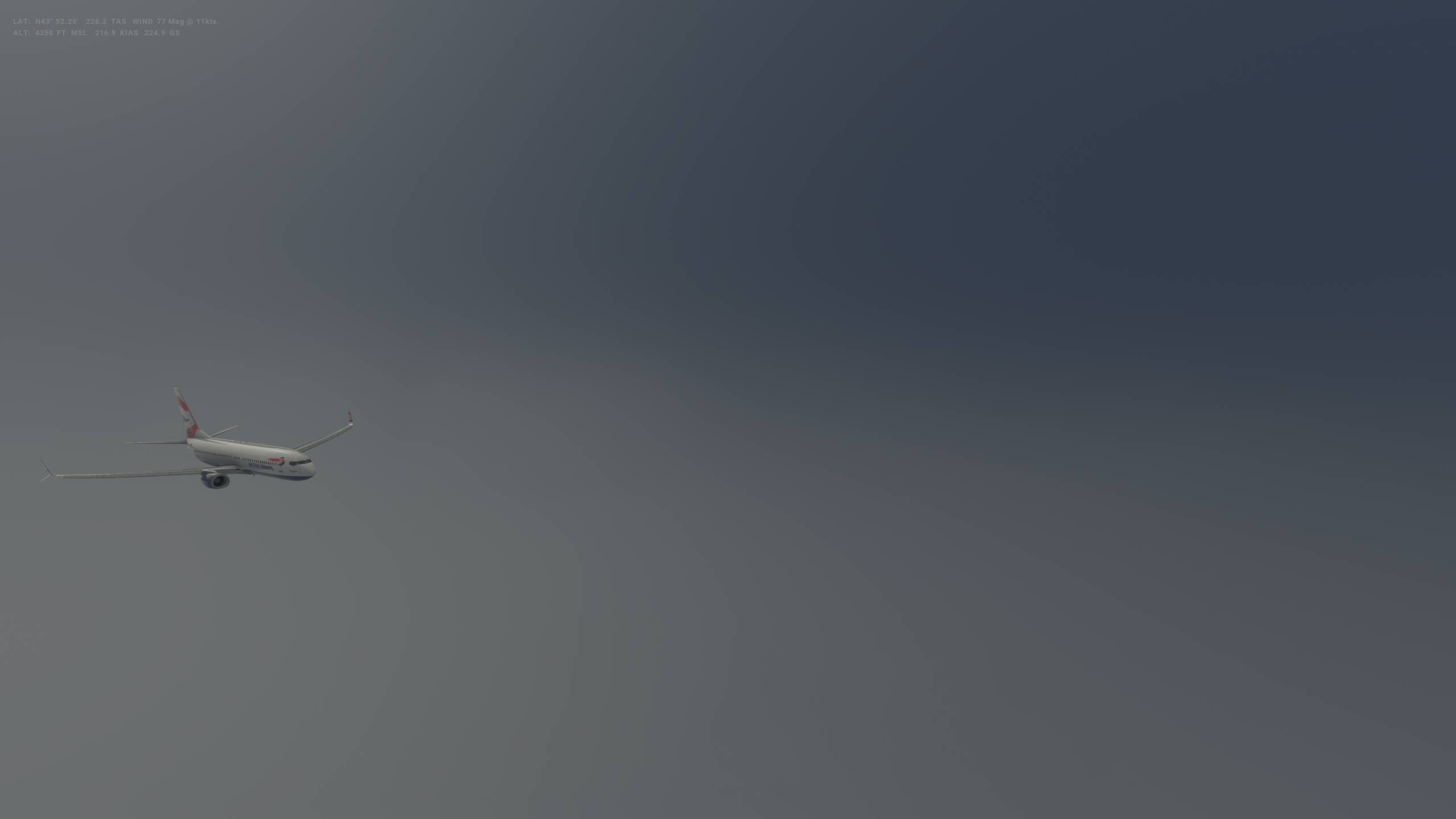
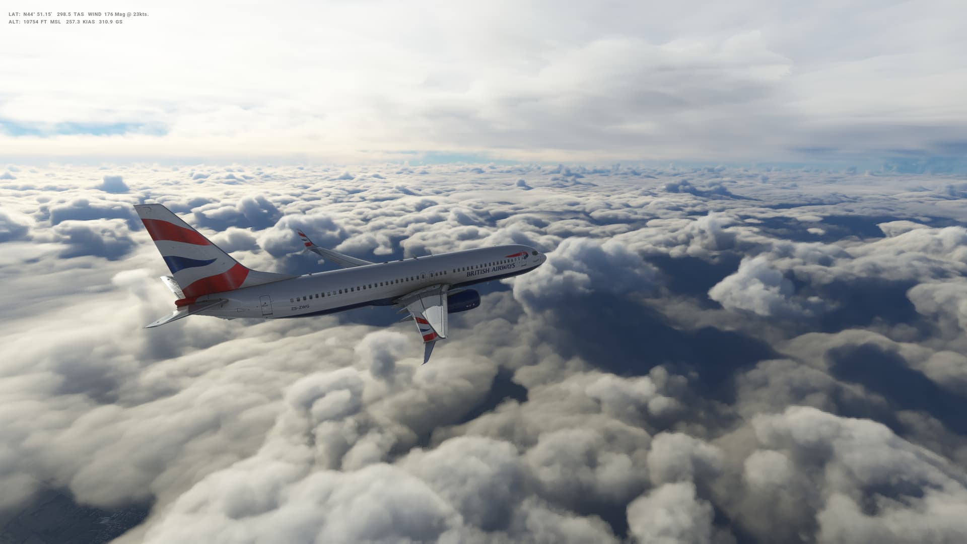
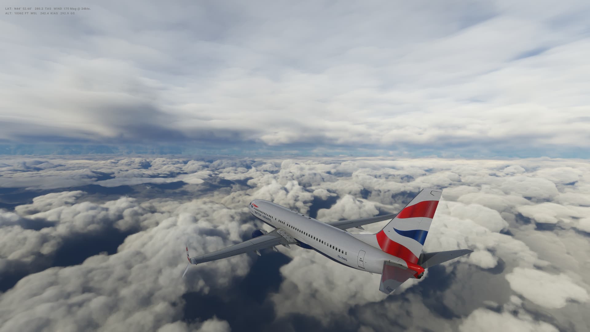
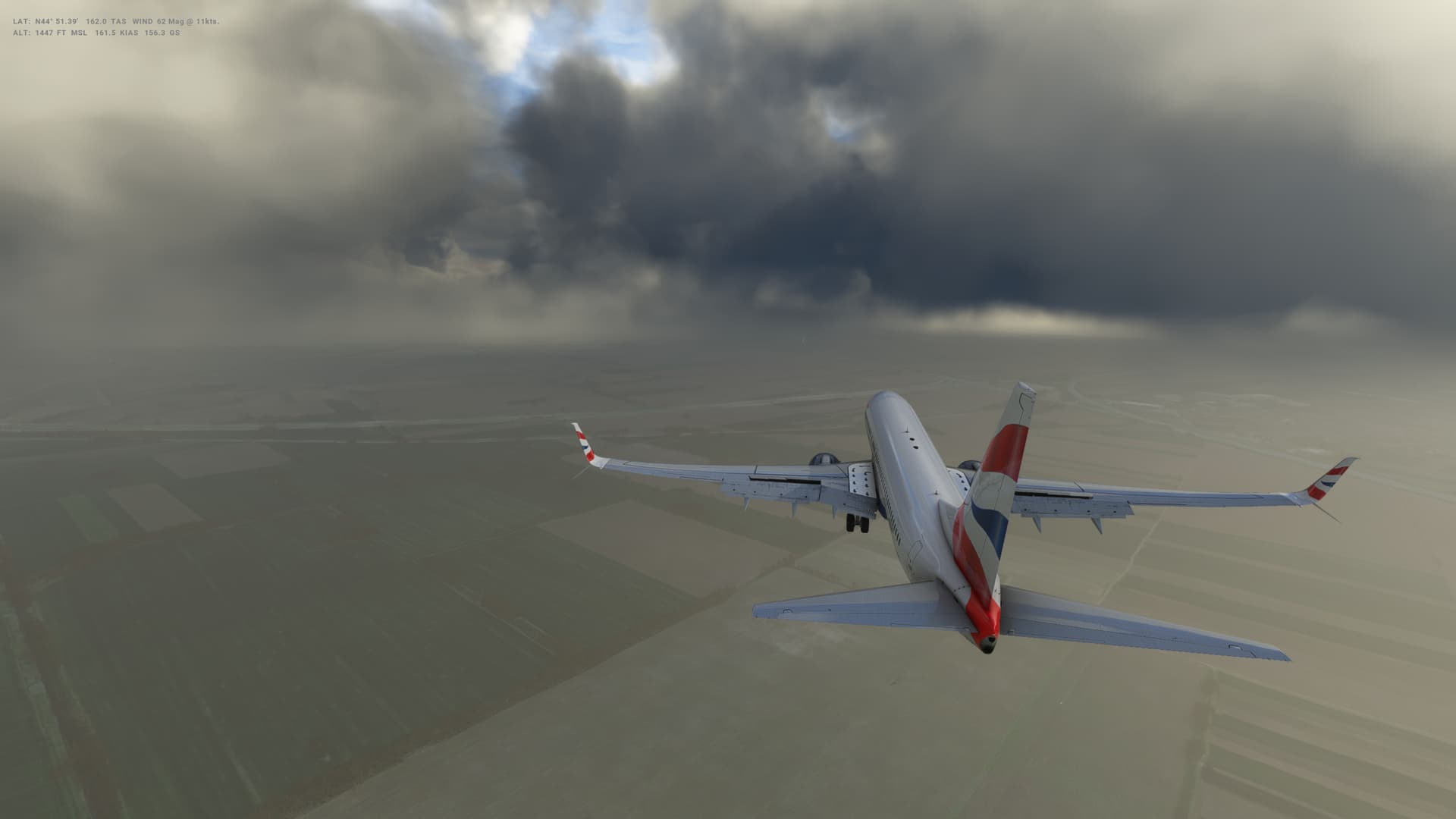
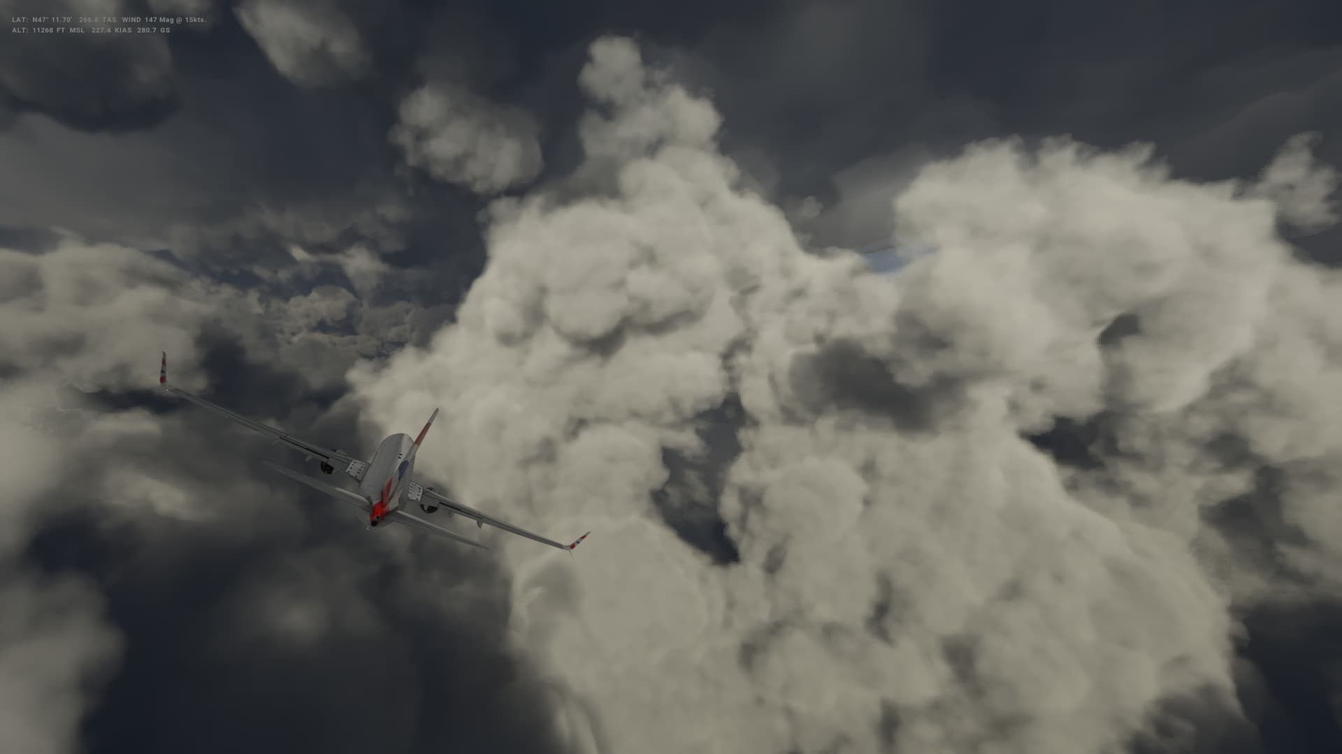
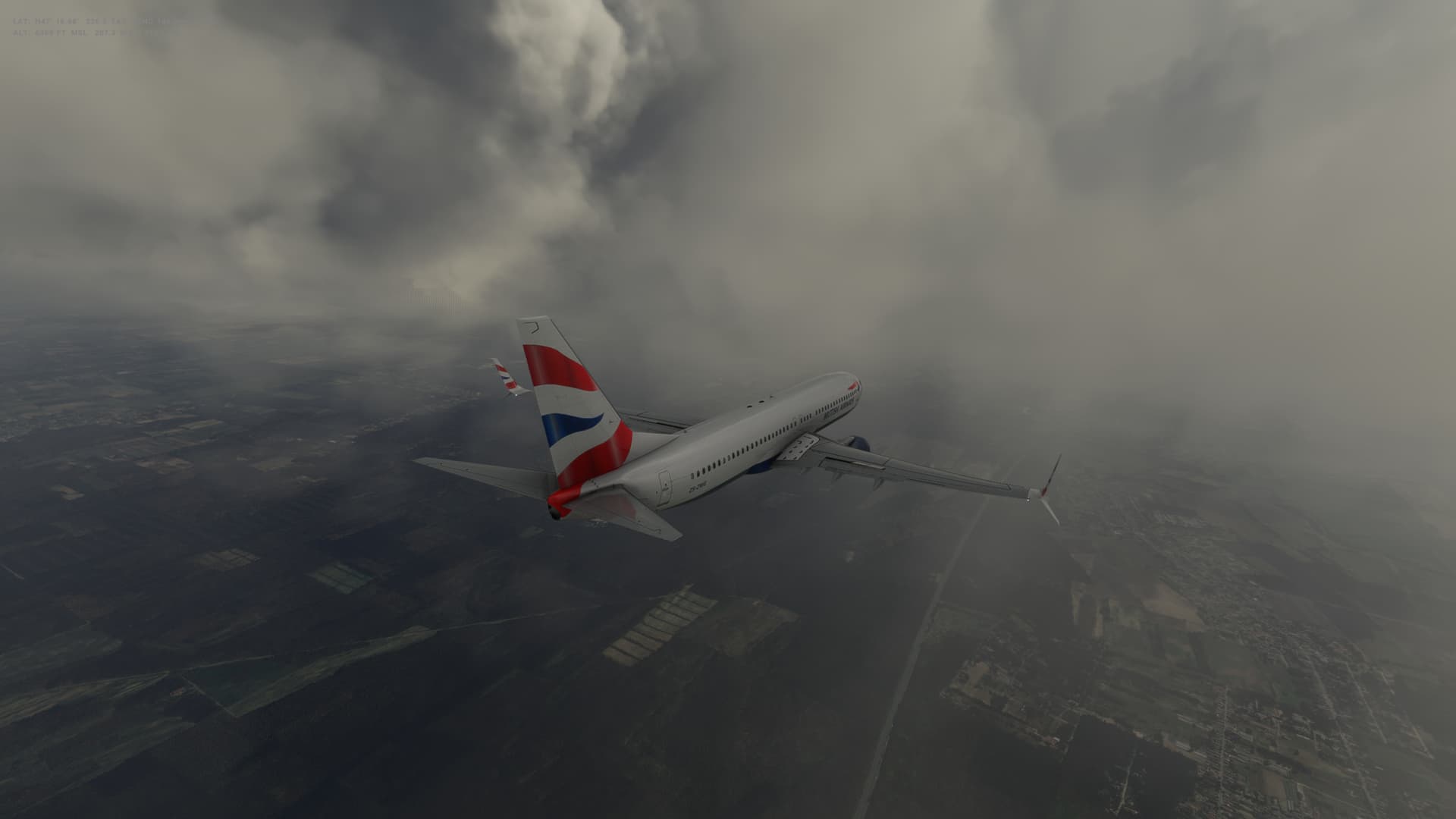
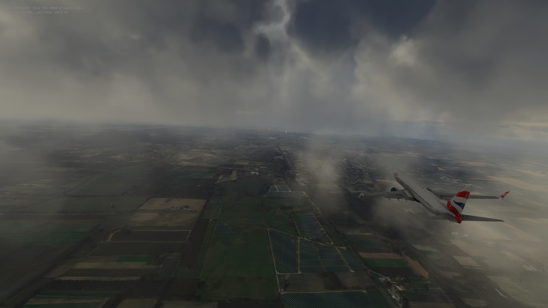
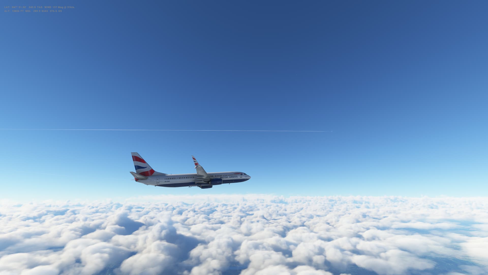
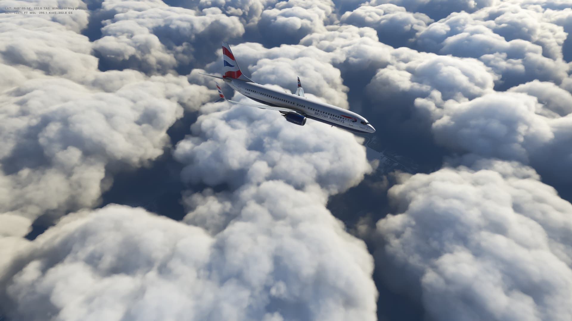
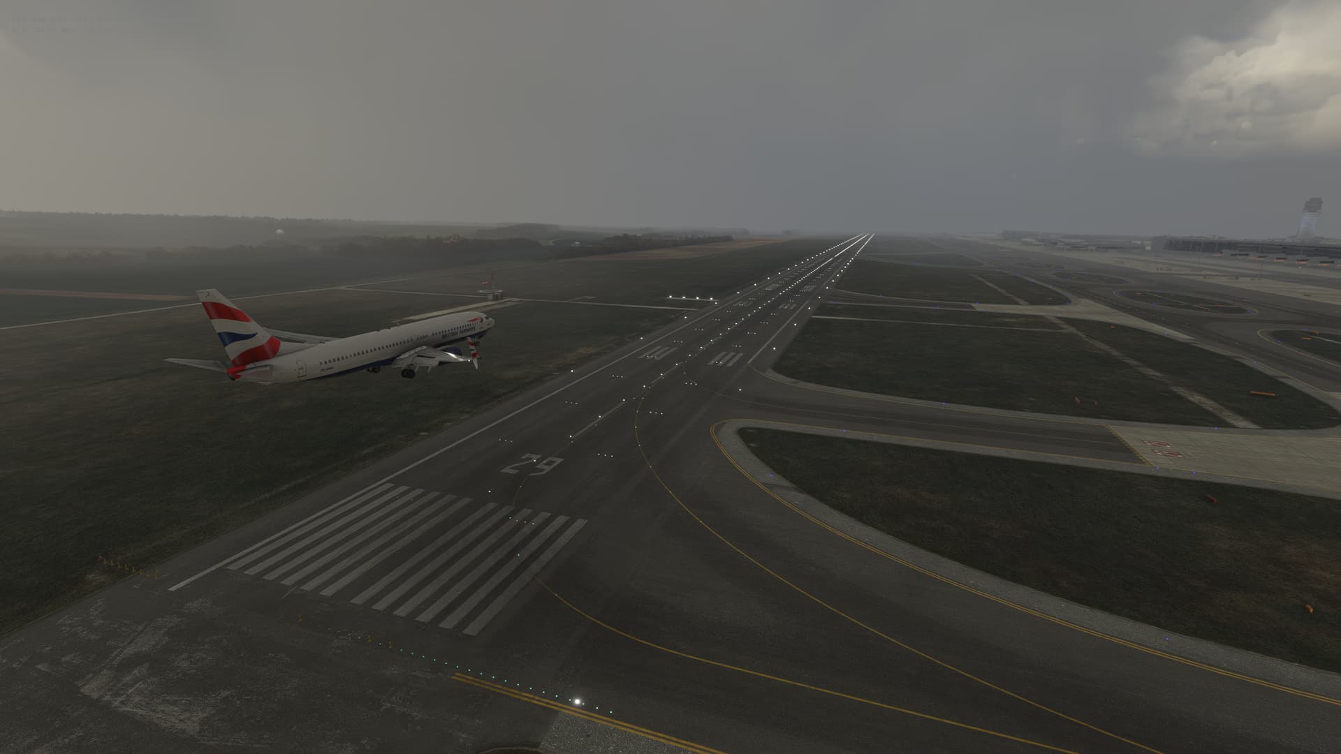
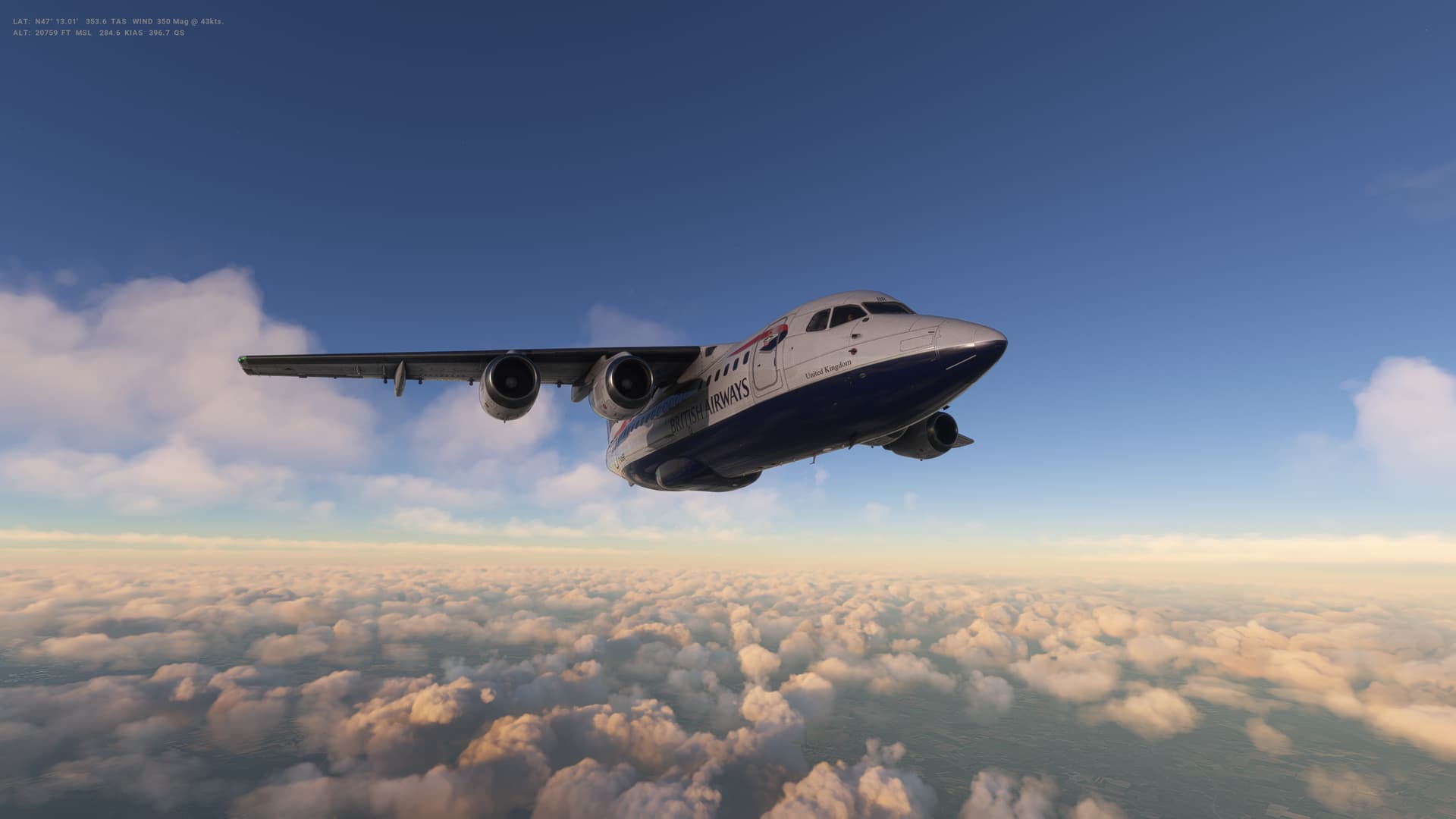
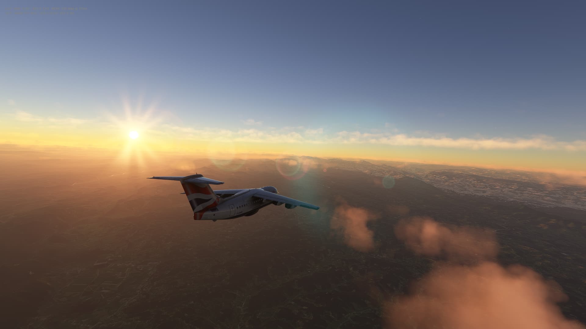
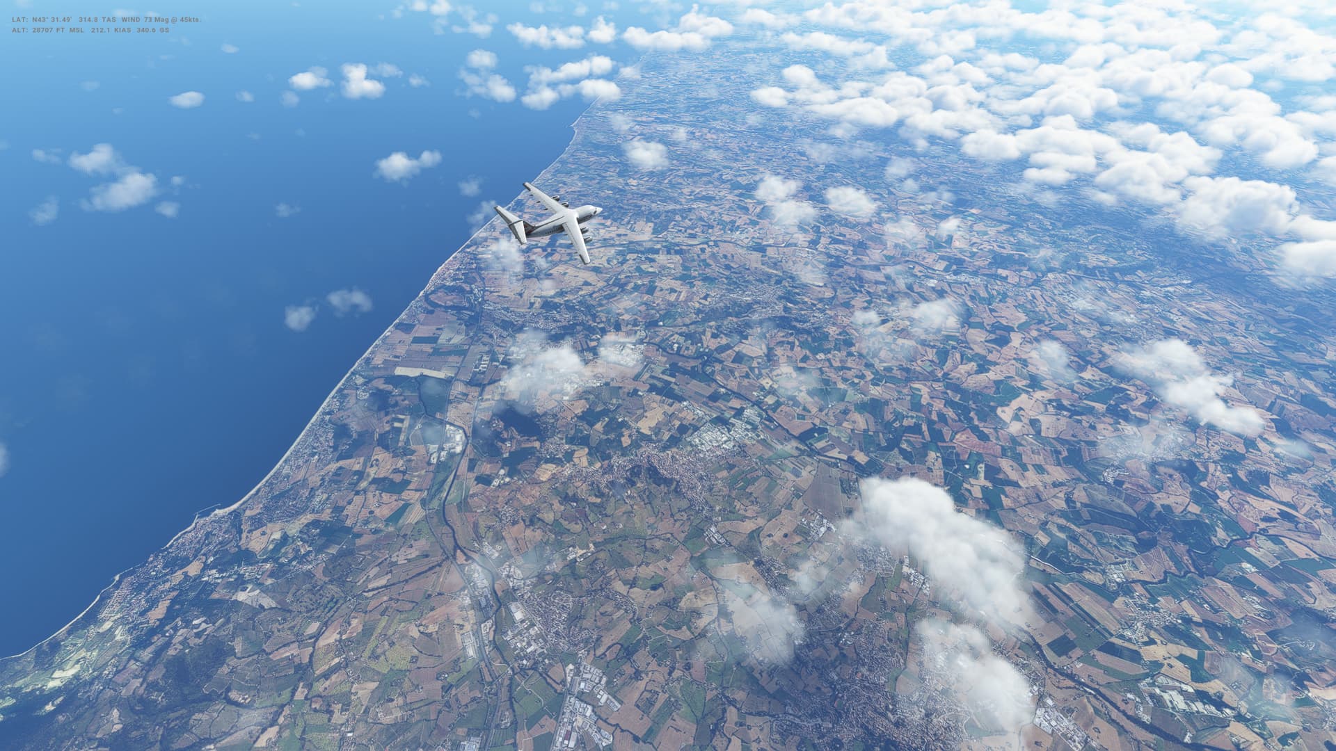
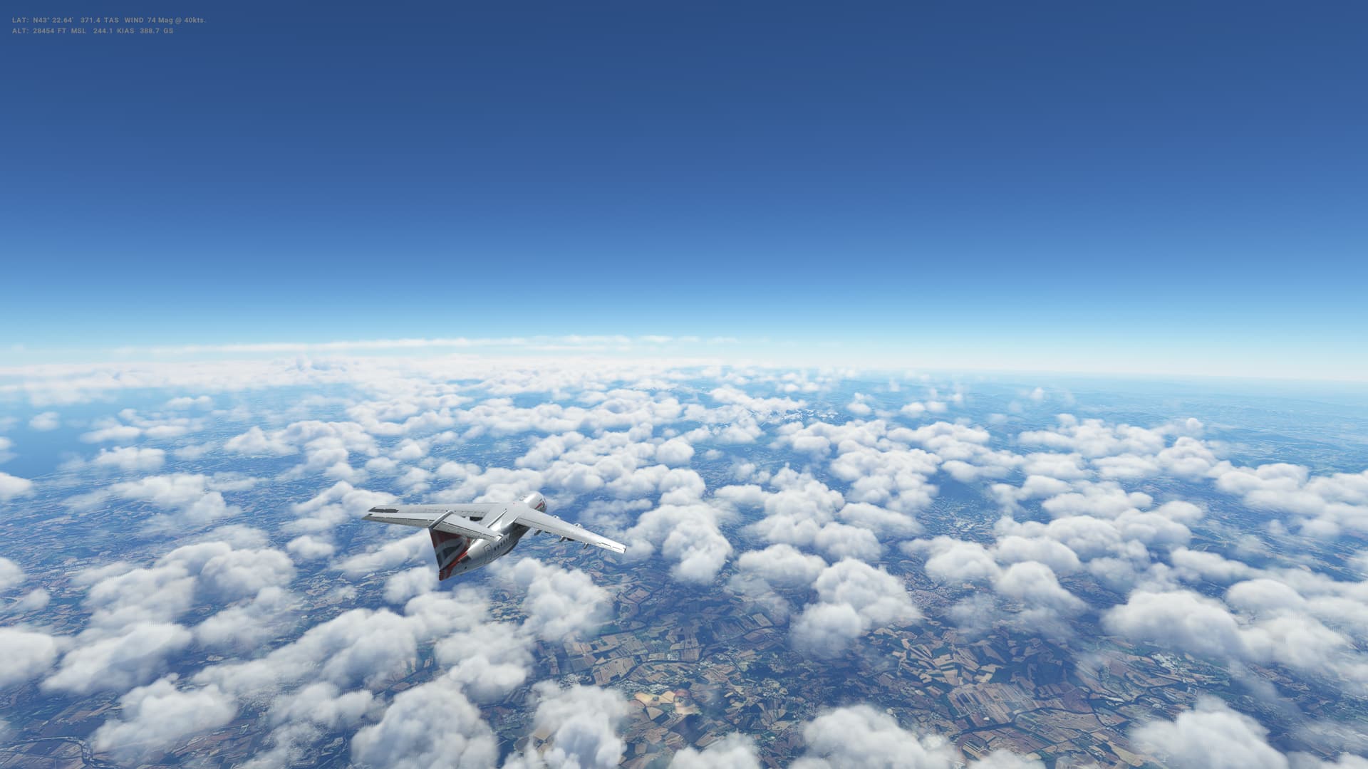
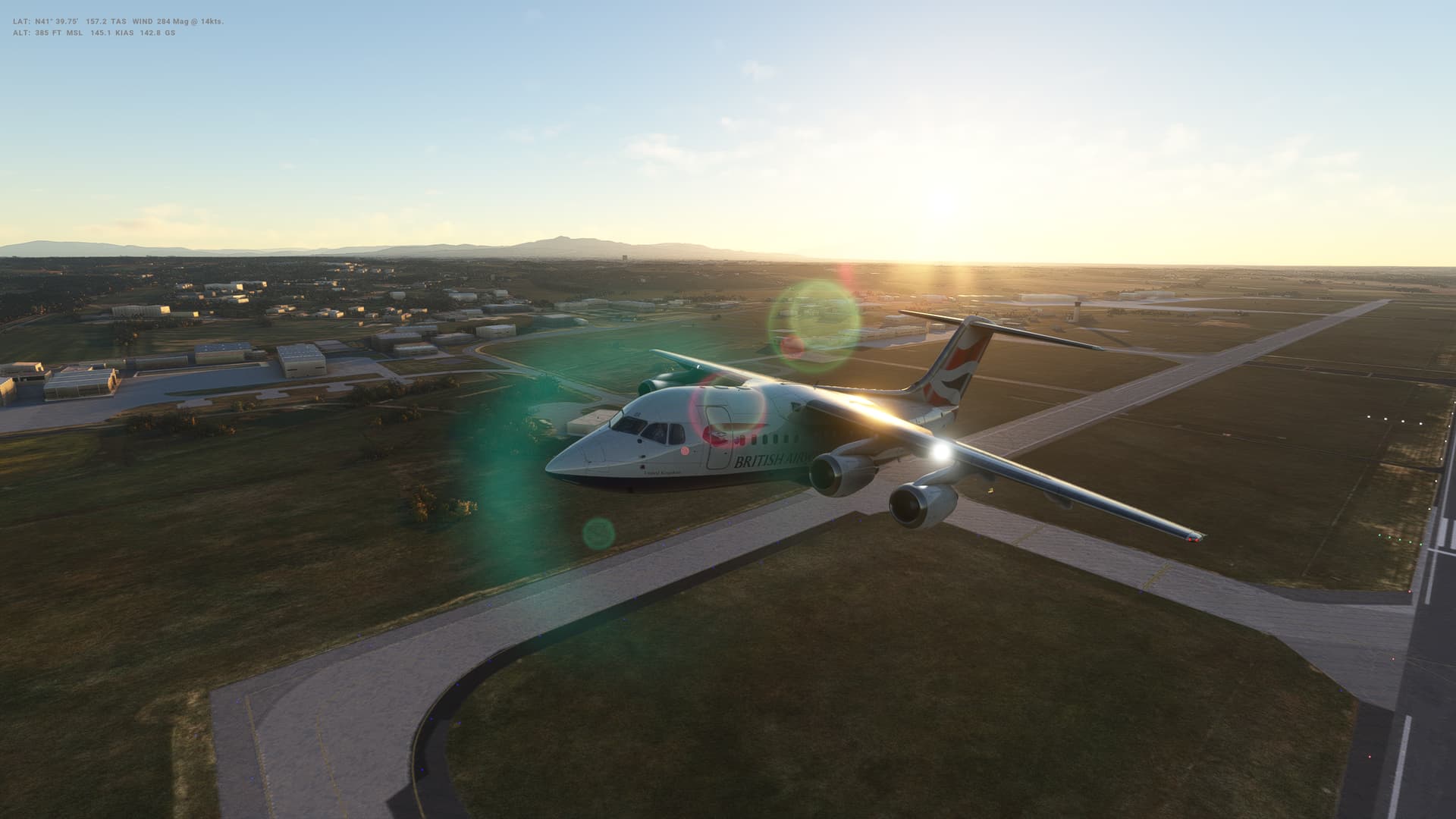
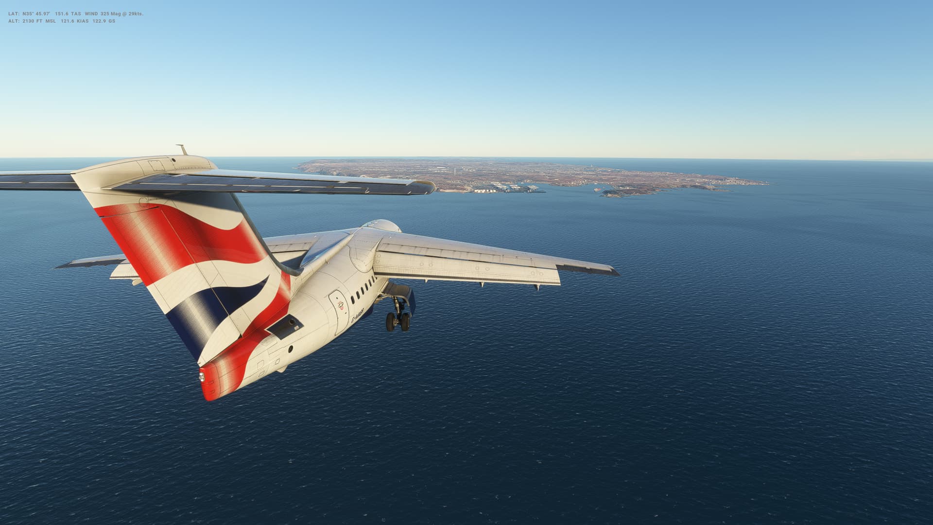
Our next leg takes us North from Turkey into Eastern Europe and Romania. 400 or so miles this one, across the Black Sea and Bulgaria to Bucharest (or Bucuresti) in Southern Romania.
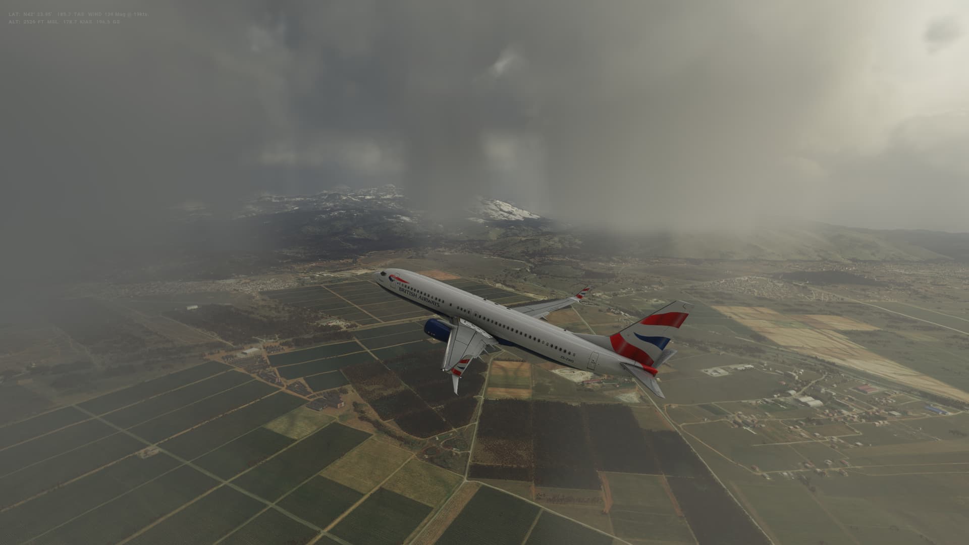
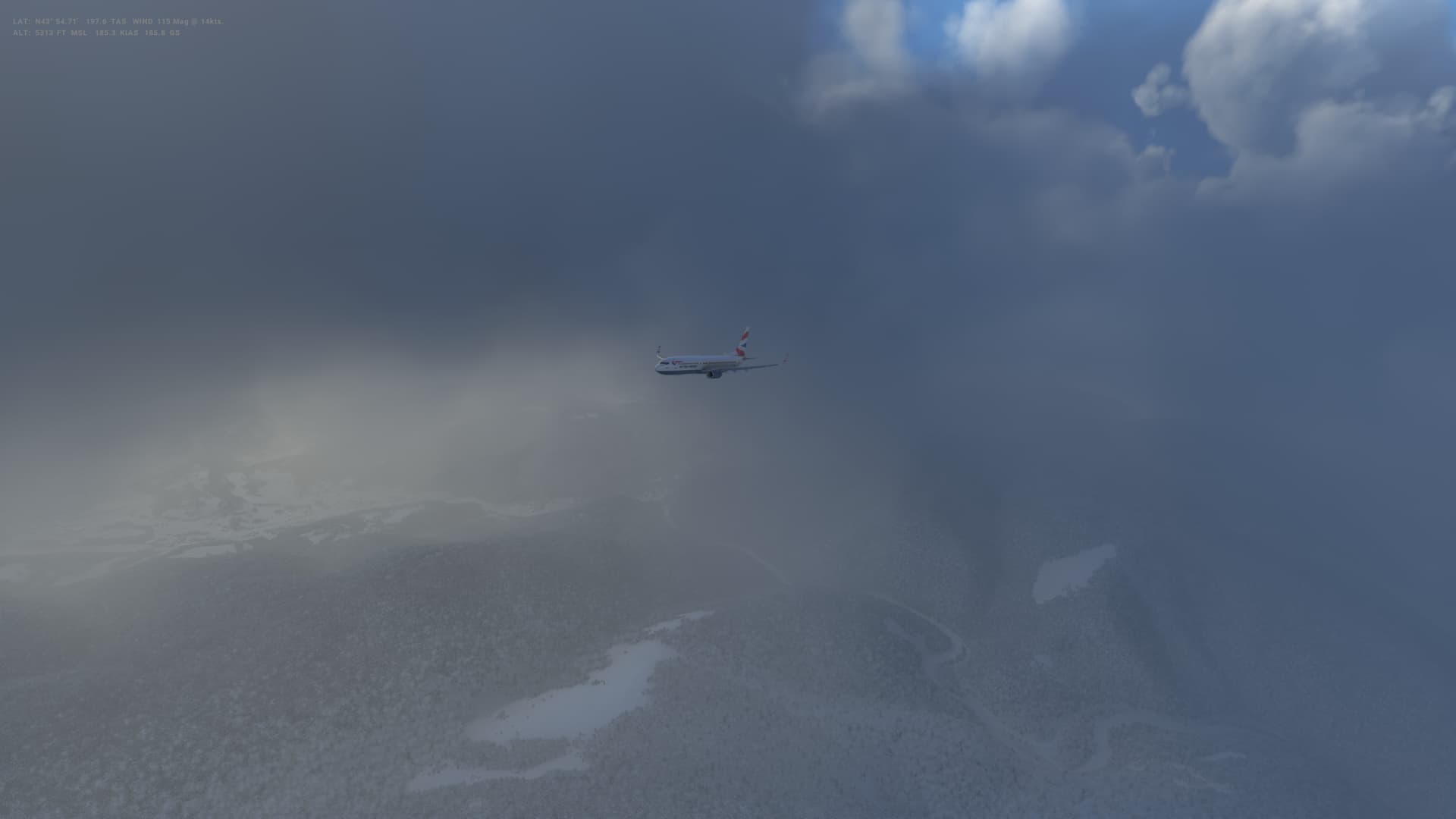
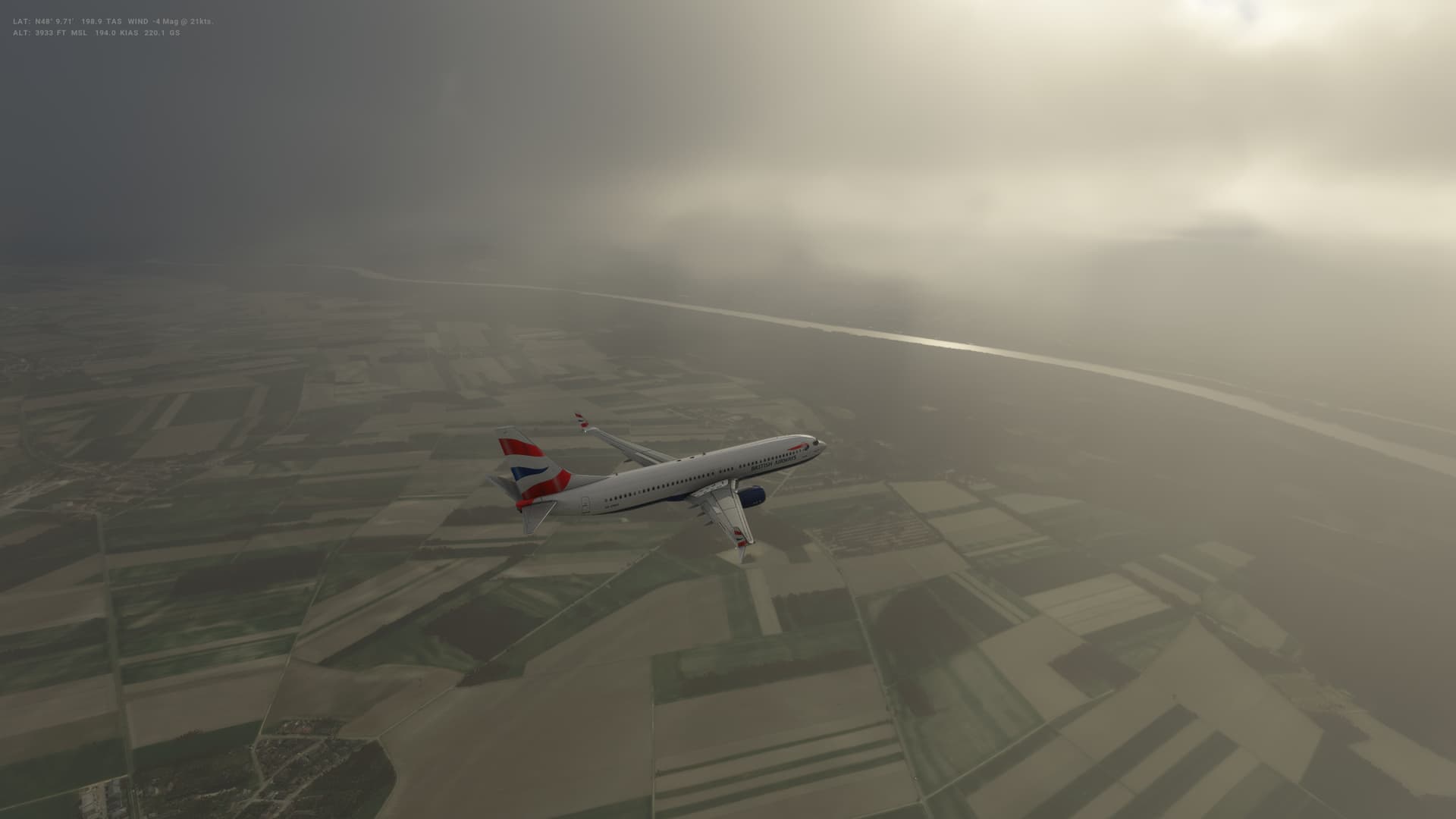
The weather was nice and clear in Turkey, but as we crossed the Black Sea, it started to get a bit clouder and was definitely threatening rain in Romania.
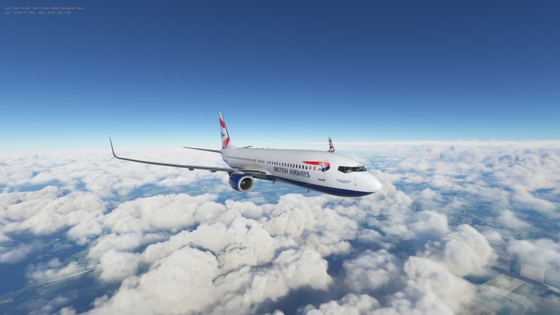
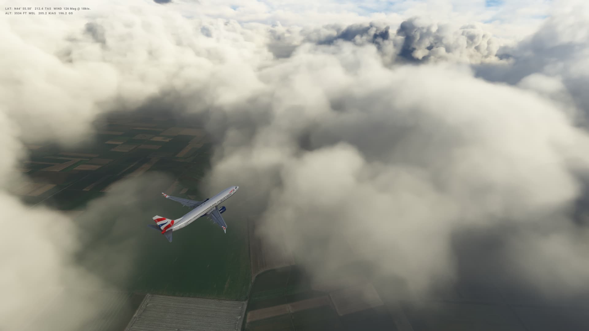
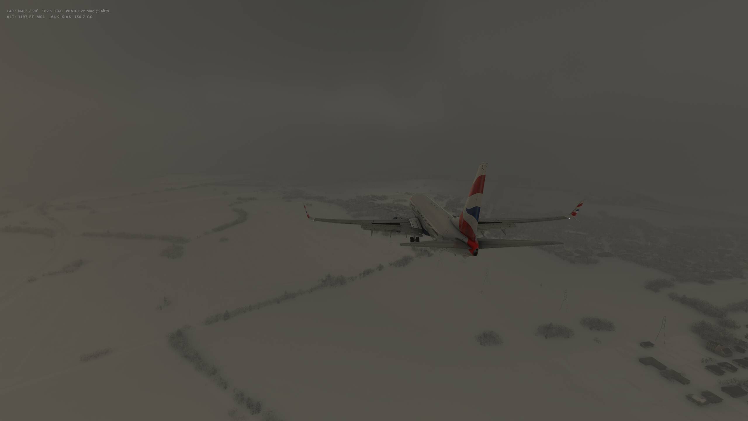
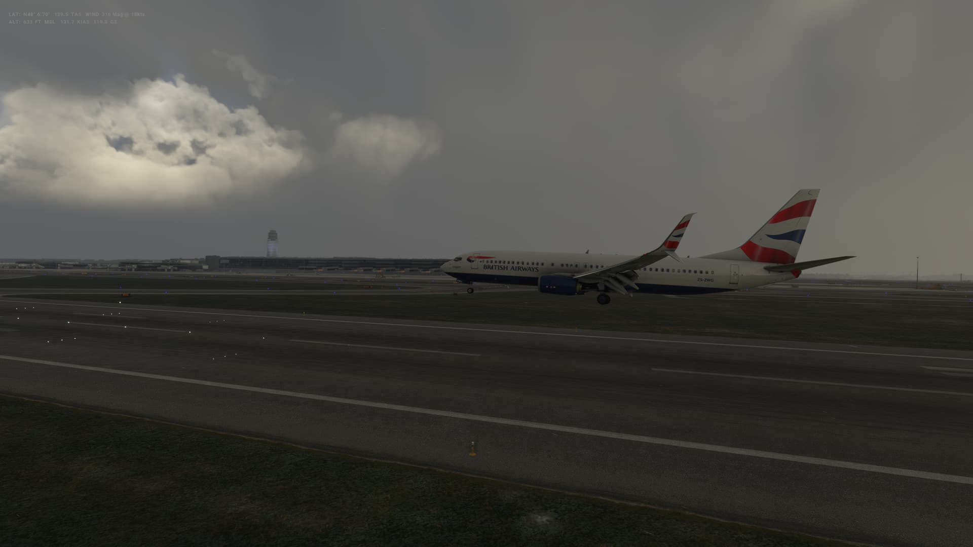
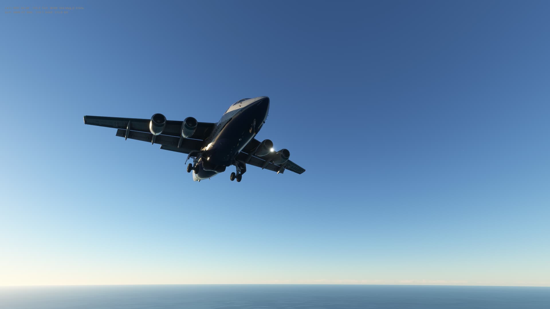
At least my take off was a little better today - been practising a little - still not quite getting the rotation smooth yet, need to keep working on this. I was pleased with the landing though, possibly my best in the 737 so far.
Romania
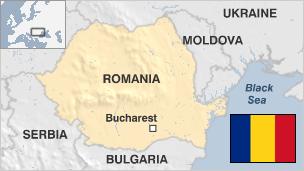
- Capital: Bucharest
- Population 21.4 million
- Area 238,391 sq km (148,129 sq miles)
- Major languages Romanian
- Major religion Christianity
- Life expectancy 71 years (men), 78 years (women)
- Currency new leu
Logbook
| This Leg |
Leg |
|
|
22 |
|
Date |
|
|
17/09/2022 |
|
Departure Airport |
ICAO |
|
LTAC |
|
|
Airport |
|
Esenboga International Airport |
|
|
Capital City |
|
Ankara |
|
|
Country |
|
Turkey |
|
|
Runway |
|
21L |
|
Arrival Airport |
ICAO |
|
LRBS |
|
|
Airport |
|
Aurel Vlaicu International Airport |
|
|
Capital City |
|
Bucuresti |
|
|
Country |
|
Romania |
|
|
Runway |
|
25 |
|
Actual Time (Local) |
Pushback Time |
|
17:00 |
|
|
Take Off Time |
|
17:09 |
|
|
Touchdown Time |
|
18:07 |
|
|
Arrival Time |
|
18:10 |
|
|
Air time |
|
00:58 |
|
|
Total Time |
|
01:10 |
|
Ground Distance (Nm) |
|
|
438 |
|
Air Distance (Nm) |
|
|
471 |
|
Great Circle Distance (Nm) |
|
|
403 |
|
Fuel Start (Kgs) |
|
|
7,001 |
|
Fuel End (Kgs) |
|
|
2,772 |
|
Fuel Used (Kgs) |
|
|
4,229 |
|
SID |
|
|
DEREL1D |
|
Route |
|
|
LTAC/21L DEREL1D DEREL UL602 MAKOL L619 ARGES DCT OSTAL OSTAL1Y
LRBS/25 |
|
STAR |
|
|
OSTAL1Y |
|
Approach |
|
|
ILS 25 |
|
Passengers |
|
|
175 |
|
Cargo (000 Kgs) |
|
|
4,400 |
|
Take Off Weight (000 Kgs) |
|
|
68.5 |
|
Cruising Altitude (feet) |
|
|
32,000 |
| Cumulative |
Ground Distance (Nm) |
|
|
8,325 |
|
Air Distance (Nm) |
|
|
8,342 |
|
Great Circle Distance (Nm) |
|
|
6,669 |
|
Total air time |
|
|
09:35 |
|
Total time |
|
|
01:13:51 |
|
Fuel Used (Kgs) |
|
|
56,340 |
Flightplan:
IFR Esenboga (LTAC) to Baneasa (LRBS).lnmpln (2.8 KB)
Timelapse Video
Screenshots
Take Off
Cruise
Landing
Overall route so far
UTDD UTTT UCFM UACC UTAA OIII UBBB UGTB UDYZ ORBI OKBK OBBI OOMS OMAA OTHH OERK OJAI LLBG OSDI OLBA LCEN LTAC LRBS
Leg 23: Bucaresti (LRBS), Romania to Sofia (LBSF), Bulgaria
Summary
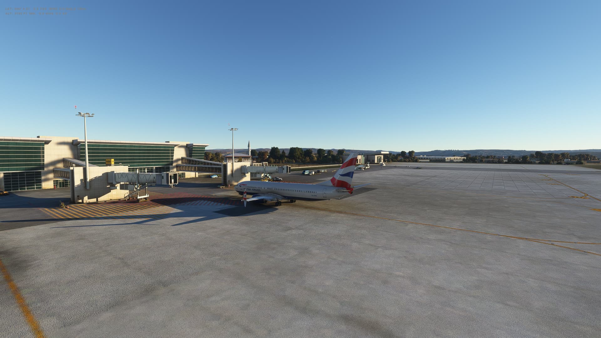
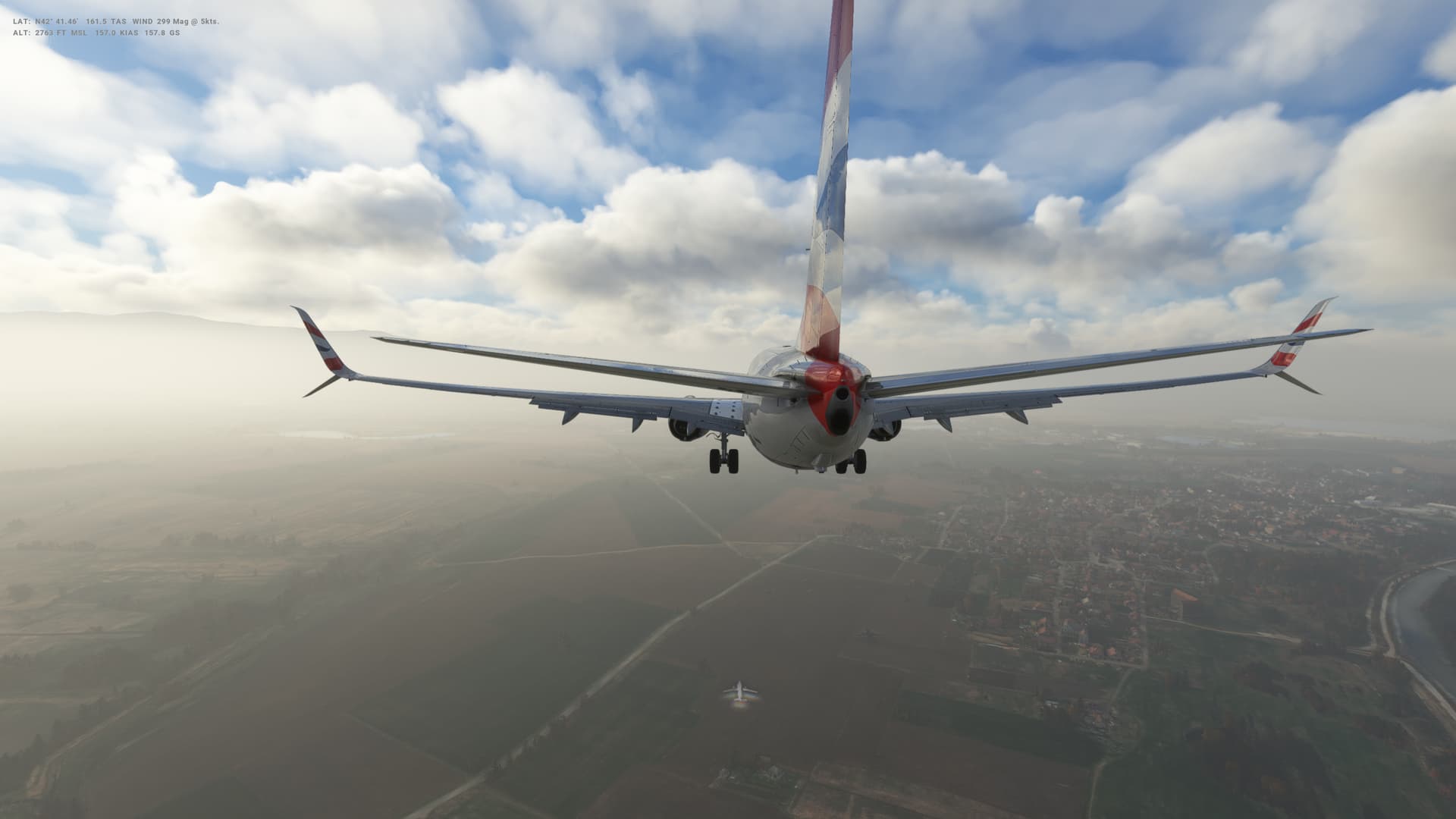
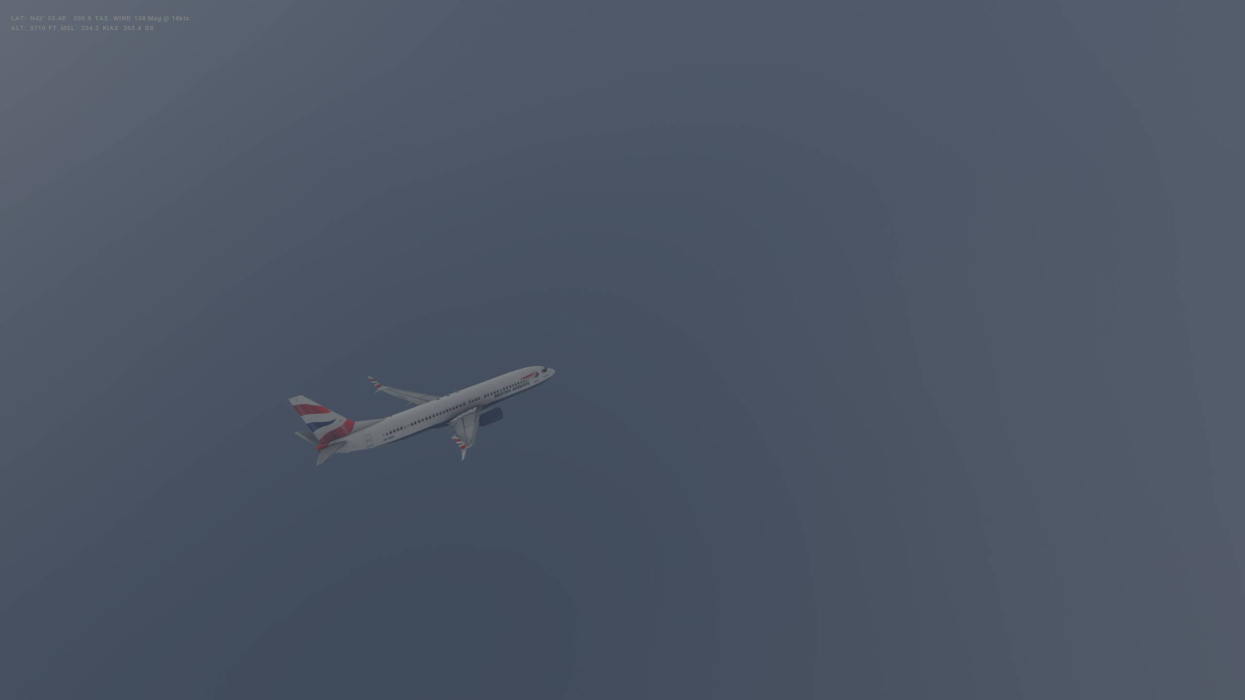
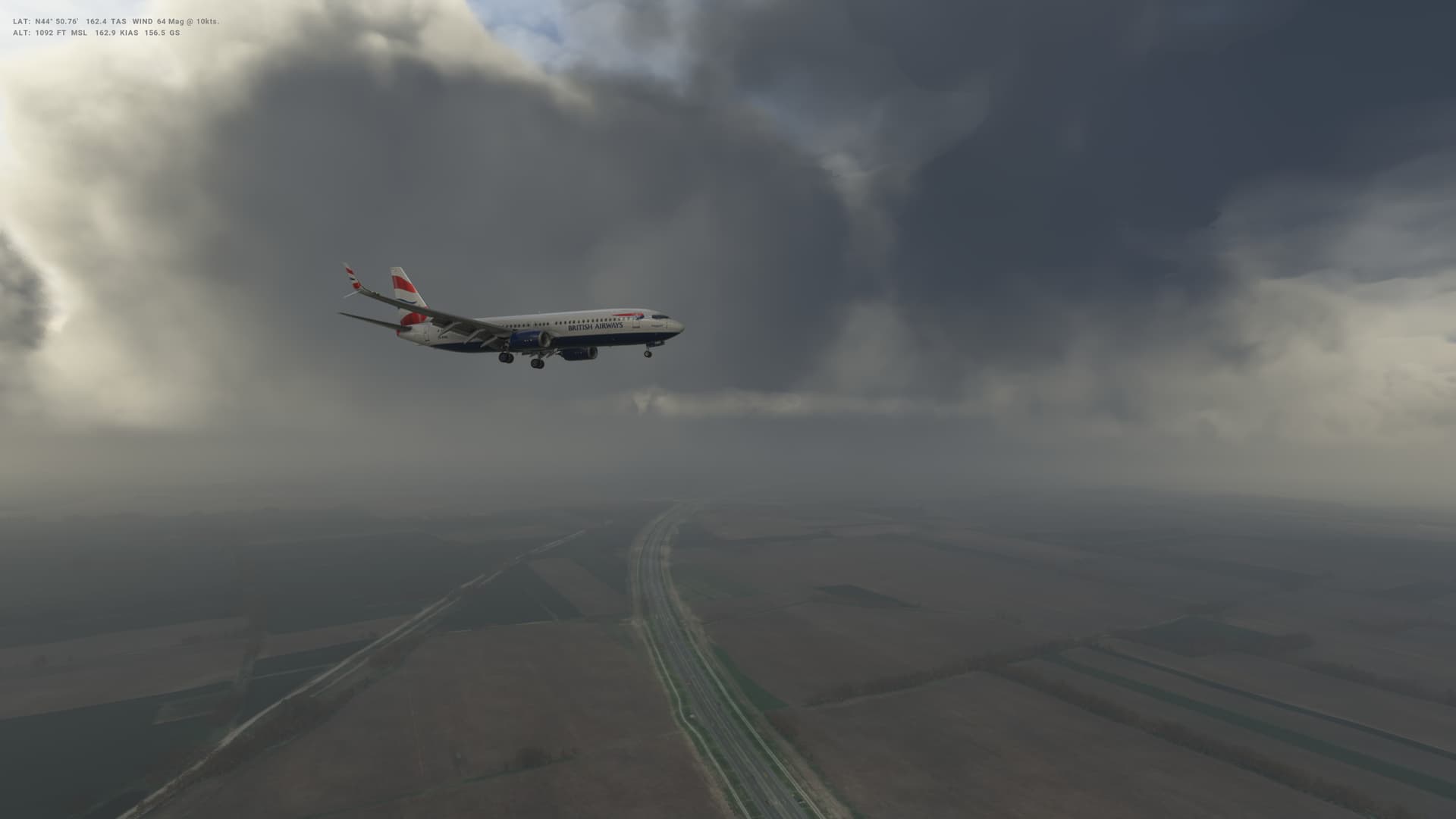
Well we are back, after a bit of a layoff partly due to real world commitments and partly due to SU11 beta testing - just in time to try out the new 40th Anniversary Edition. For now sticking with the PMDG 737 - although thinking about trying the new Airbus A310 soon - got to figure out how to make that work first!
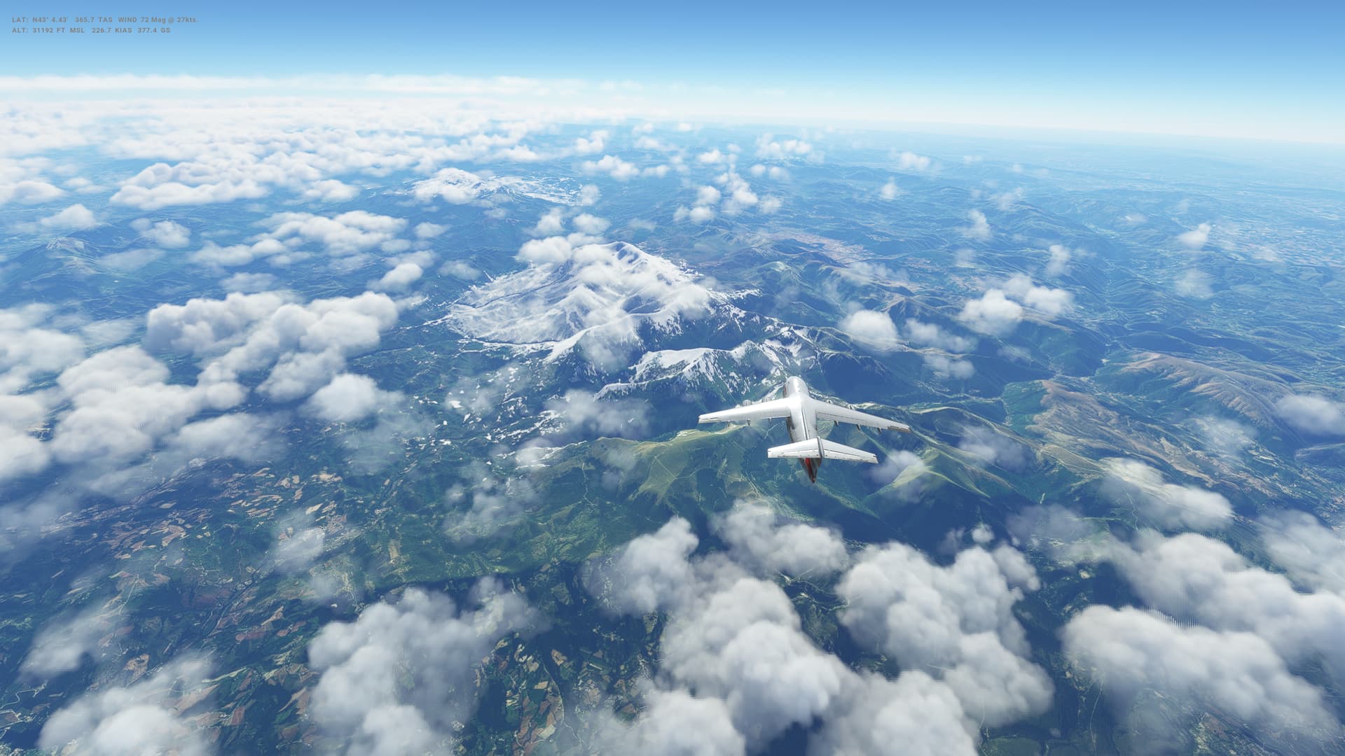
Short flight today - just a couple of hundred miles South West to Sofia in Bulgaria.
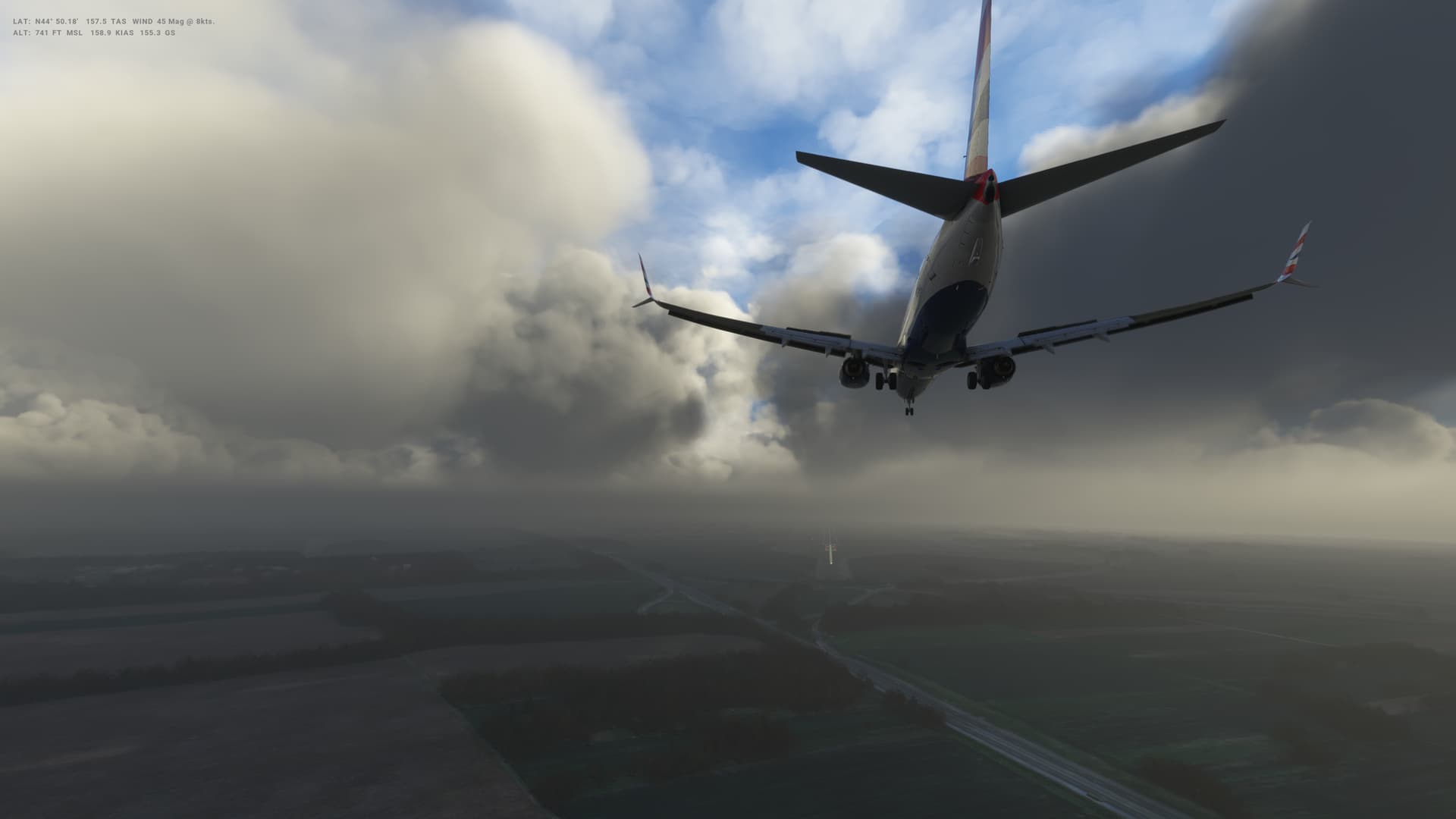
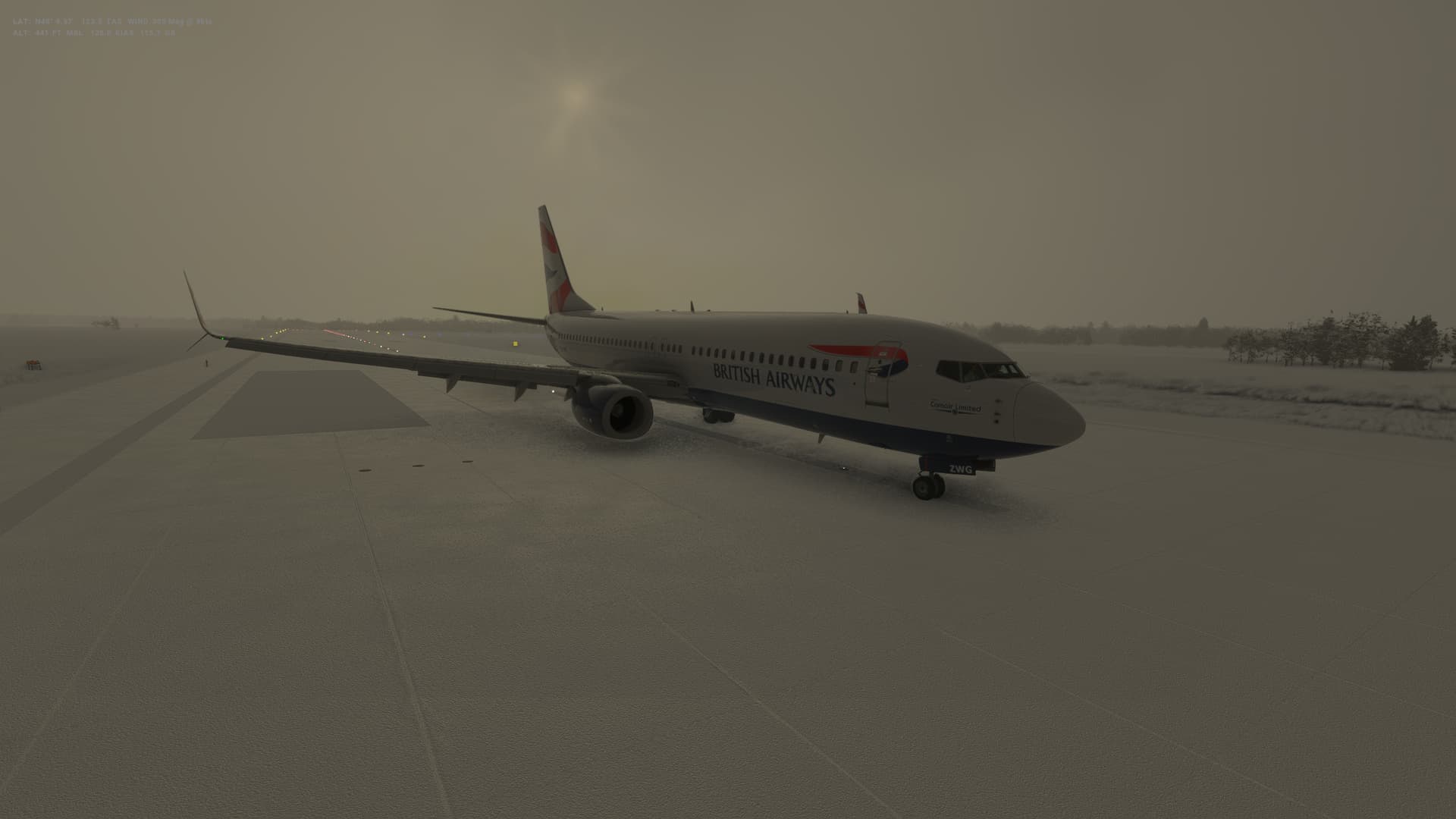
This all went according to plan until the landing - I really messed this up, as you’ll see from the video. I don’t think I’ll be getting any thanks from the passengers. That’s what getting out of practice does to you! Better get practicing again.
Bulgaria

Logbook
| This Leg |
Leg |
|
|
23 |
|
Date |
|
|
11/11/2022 |
|
Departure Airport |
ICAO |
|
LRBS |
|
|
Airport |
|
Aurel Vlaicu International Airport |
|
|
Capital City |
|
Bucuresti |
|
|
Country |
|
Romania |
|
|
Runway |
|
07 |
|
Arrival Airport |
ICAO |
|
LBSF |
|
|
Airport |
|
Sofia International Airport |
|
|
Capital City |
|
Sofia |
|
|
Country |
|
Bulgaria |
|
|
Runway |
|
27 |
|
Actual Time (Local) |
Pushback Time |
|
07:00 |
|
|
Take Off Time |
|
07:08 |
|
|
Touchdown Time |
|
07:40 |
|
|
Arrival Time |
|
07:43 |
|
|
Air time |
|
00:32 |
|
|
Total Time |
|
00:43 |
|
Ground Distance (Nm) |
|
|
203 |
|
Air Distance (Nm) |
|
|
184 |
|
Great Circle Distance (Nm) |
|
|
160 |
|
Fuel Start (Kgs) |
|
|
5,319 |
|
Fuel End (Kgs) |
|
|
2,600 |
|
Fuel Used (Kgs) |
|
|
2,719 |
|
SID |
|
|
POLUN1L |
|
Route |
|
|
LRBS/07 POLUN1L POLUN DCT GAPVO GAPVO3H LBSF/27 |
|
STAR |
|
|
GAPVO3H |
|
Approach |
|
|
ILS Z 27 |
|
Passengers |
|
|
184 |
|
Cargo (000 Kgs) |
|
|
4,600 |
|
Take Off Weight (000 Kgs) |
|
|
68.1 |
|
Cruising Altitude (feet) |
|
|
24,000 |
| Cumulative |
Ground Distance (Nm) |
|
|
8,528 |
|
Air Distance (Nm) |
|
|
8,526 |
|
Great Circle Distance (Nm) |
|
|
6,829 |
|
Total air time |
|
|
10:07 |
|
Total time |
|
|
01:14:34 |
|
Fuel Used (Kgs) |
|
|
59,059 |
Flightplan:
IFR Baneasa (LRBS) to Sofia (LBSF).lnmpln (1.3 KB)
Timelapse Video
Screenshots
Take Off
Cruise
Landing
Overall route so far
UTDD UTTT UCFM UACC UTAA OIII UBBB UGTB UDYZ ORBI OKBK OBBI OOMS OMAA OTHH OERK OJAI LLBG OSDI OLBA LCEN LTAC LRBS LBSF
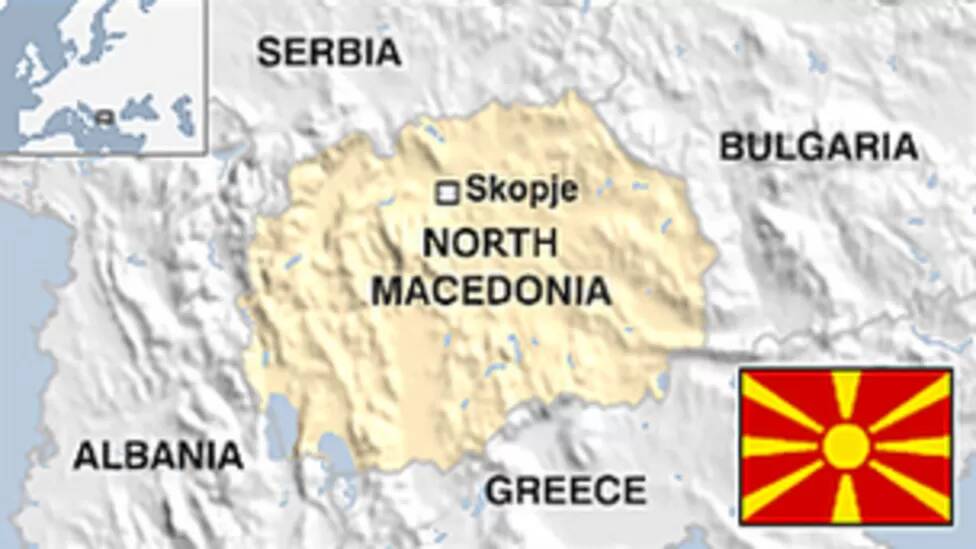
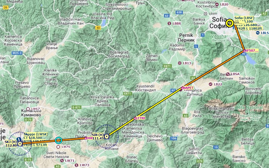
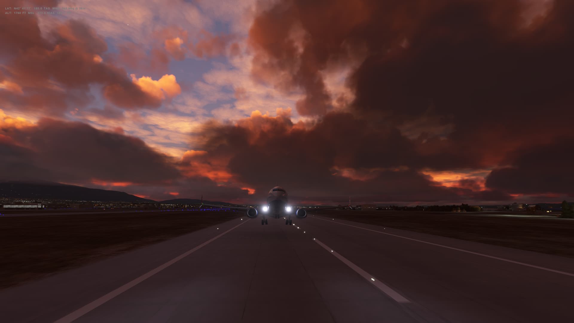
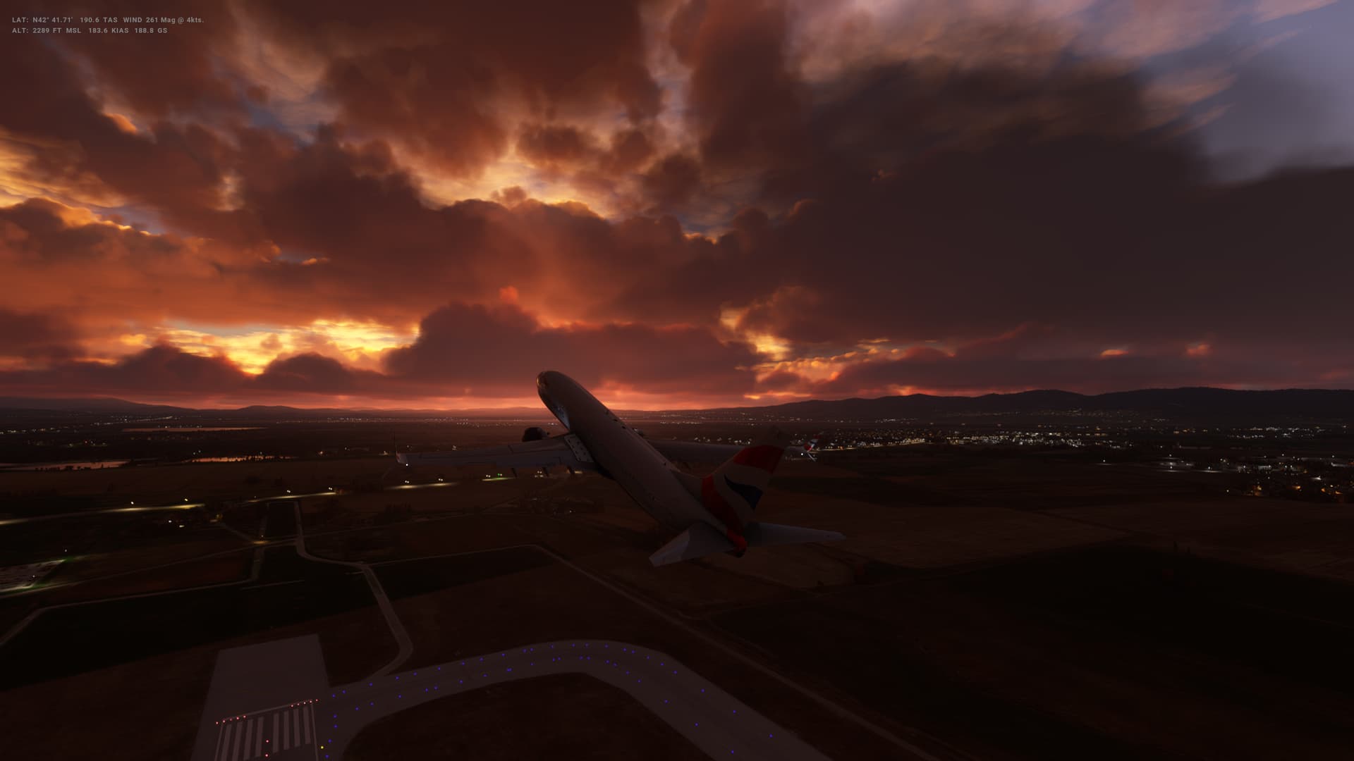
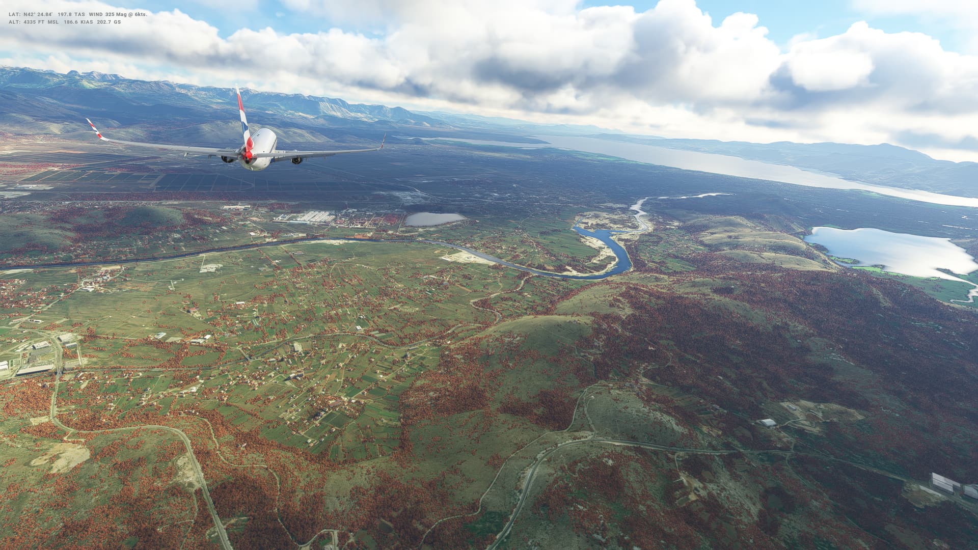
Leg 24: Sofia (LBSF), Bulgaria to Skopje (LWSK), Macedonia
Summary
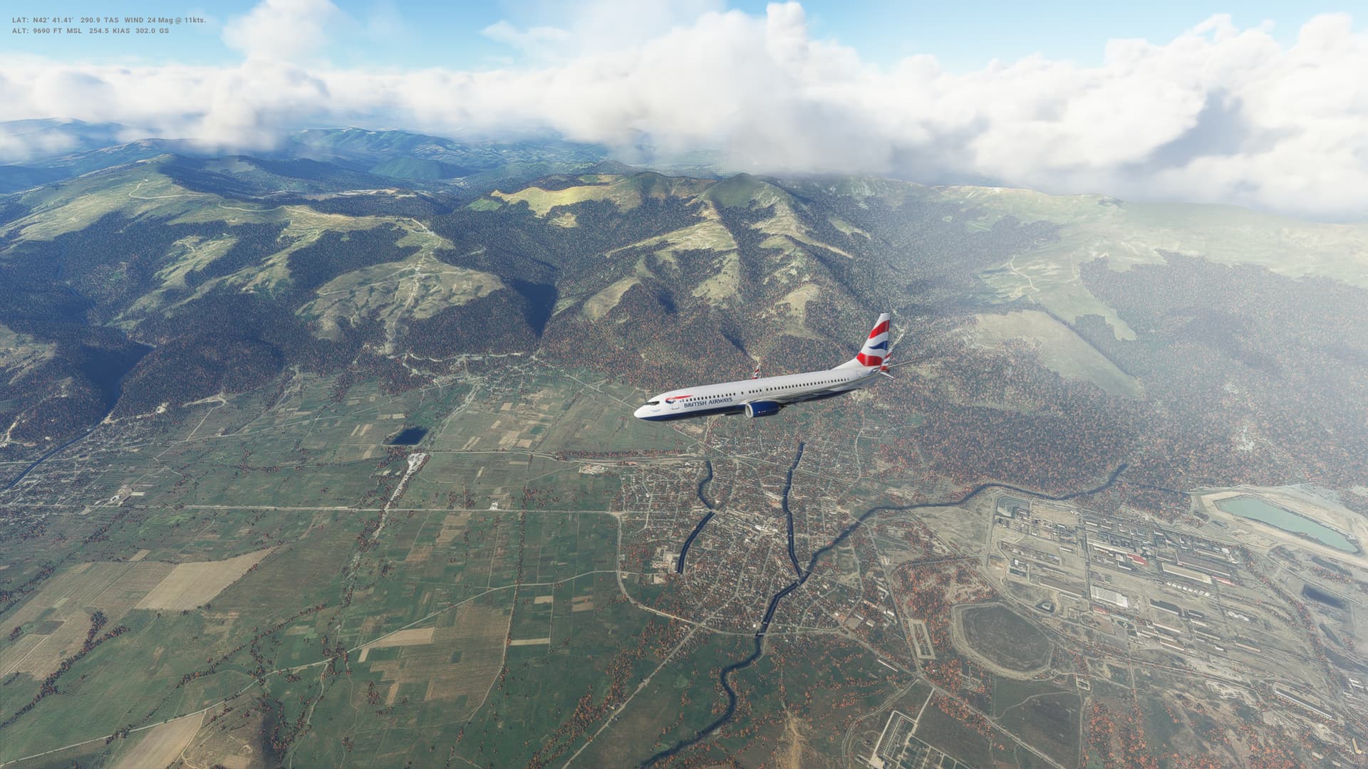
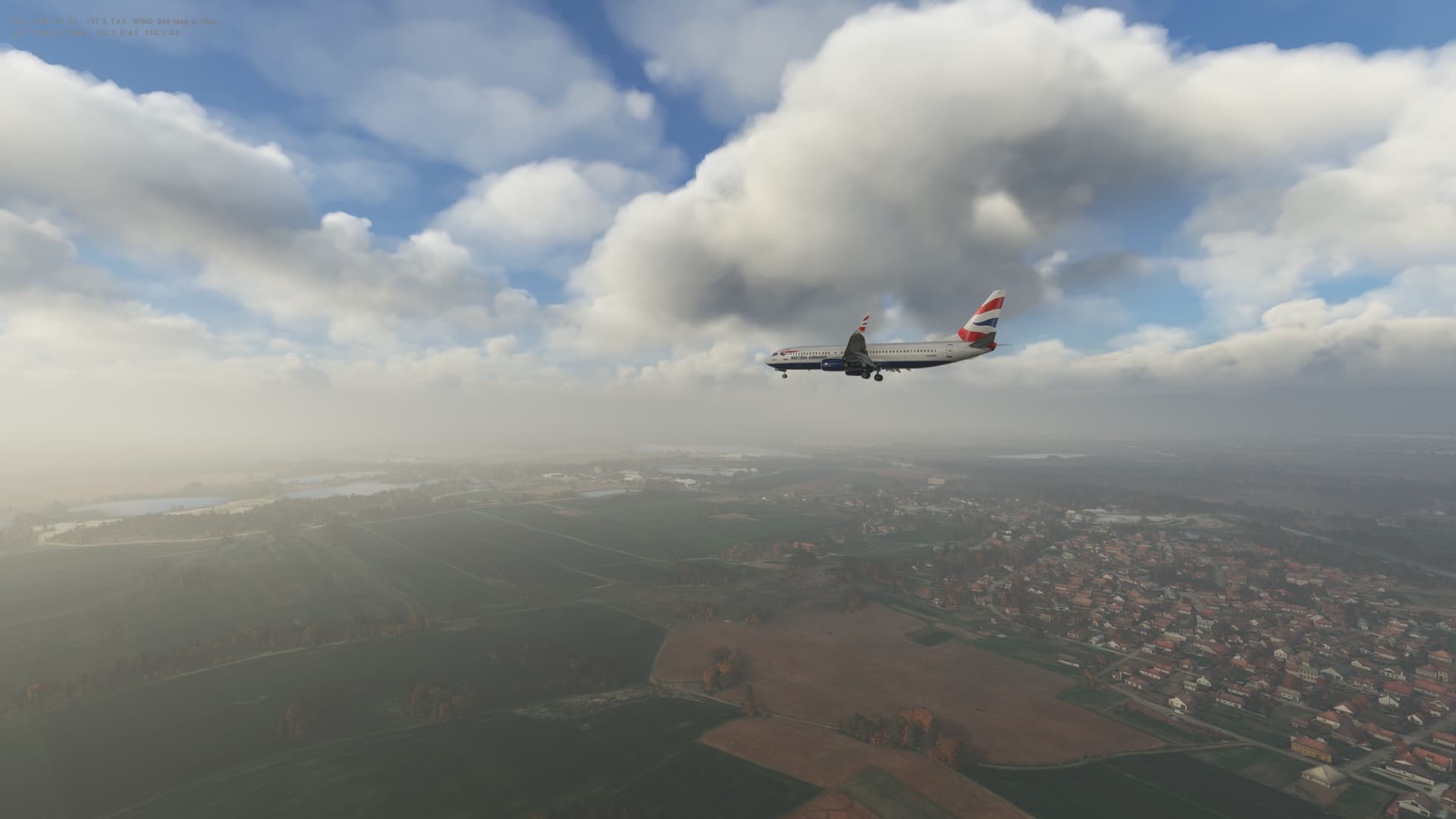
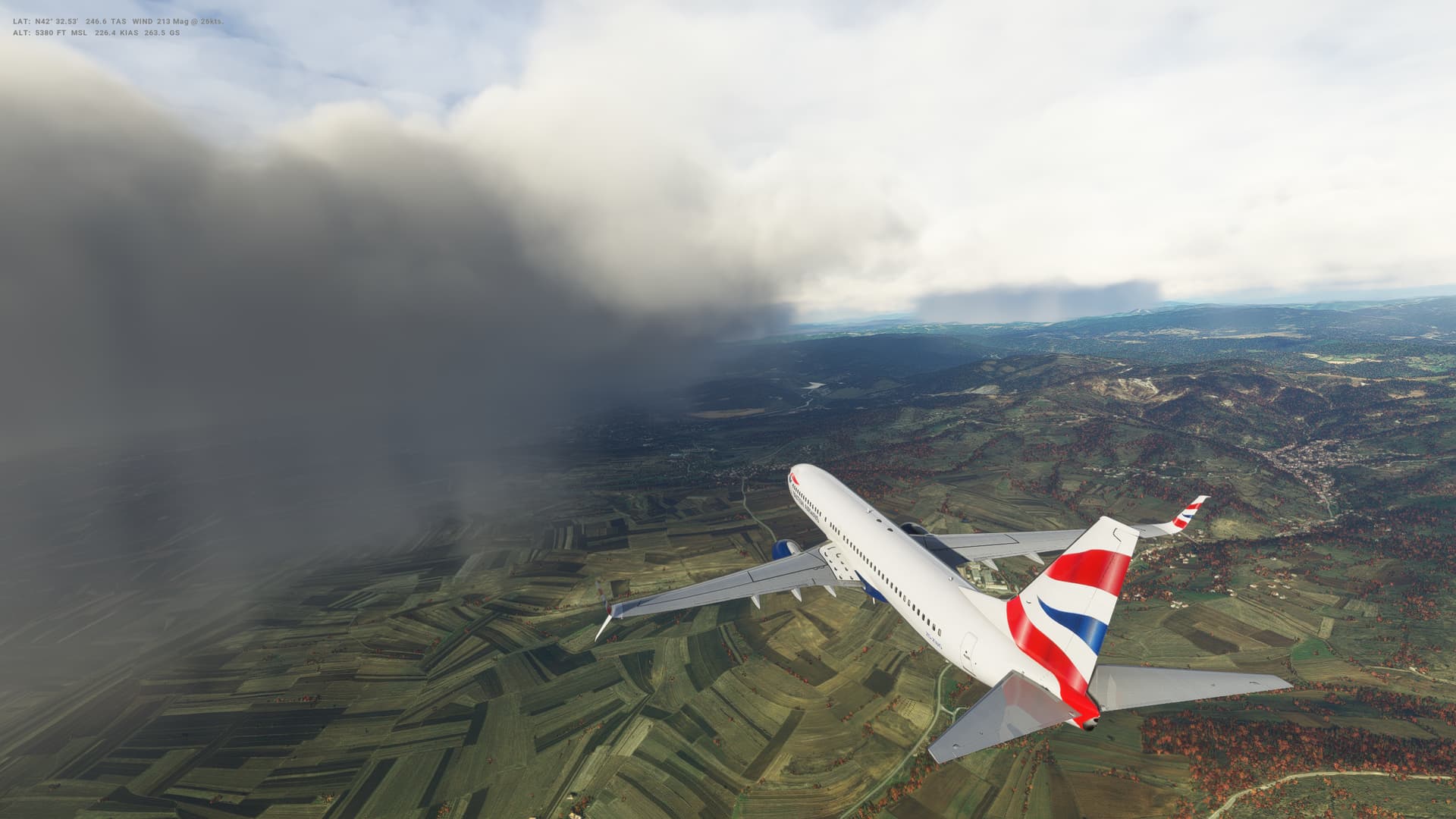
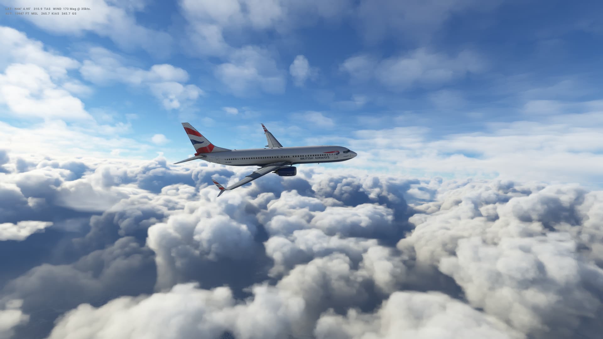
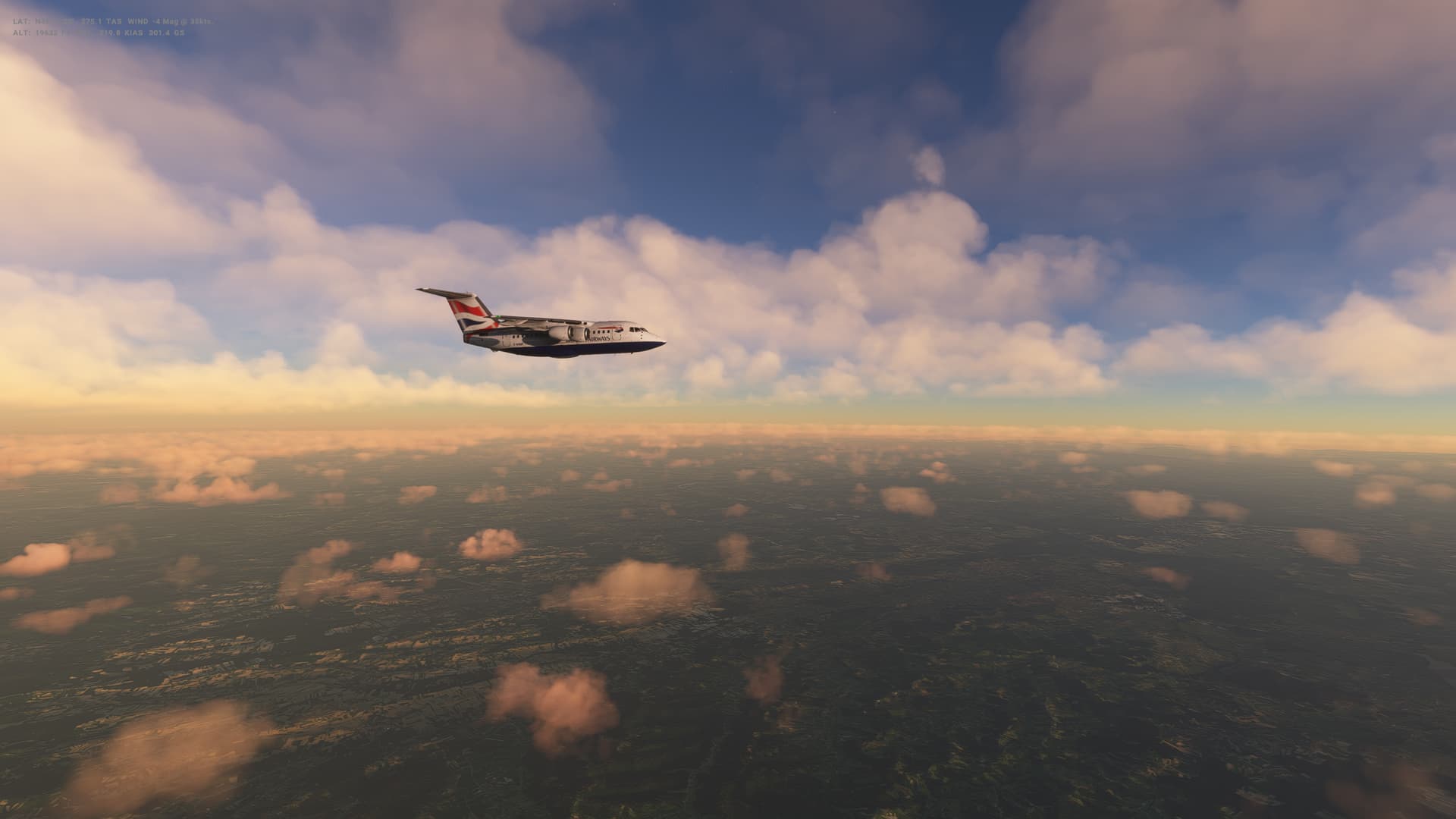
Very short flight today - just 100 miles or so - from Bulgaria to Macedonia heading South West. We barely have time to get up to our 16,000 feet cruising altitude before we are starting descending.
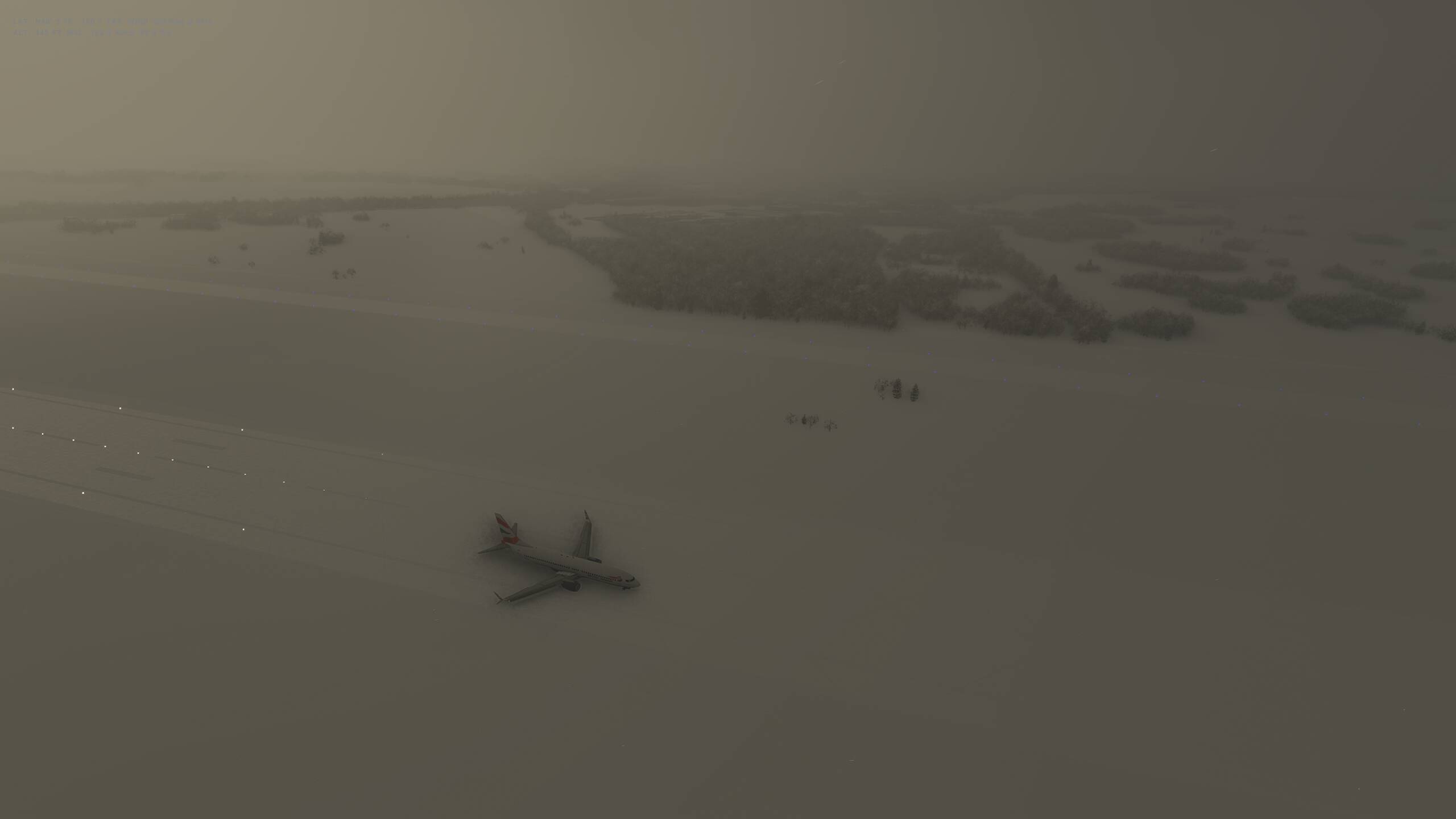
This all went OK, but I really struggled to slow the plane down on approach and came in a little fast. That, combined with a bit of crosswind. made the landing very challenging, and I over corrected on the runway with the rudder and nearly tipped over. More unhappy passengers I’m afraid.
Macedonia
- Capital: Skopje
- Population 2.1 million
- Area 25,713 sq km (9,928 sq miles)
- Major languages Macedonian, Albanian
- Major religions Christianity, Islam
- Life expectancy 73 years (men), 77 years (women)
- Currency denar
Logbook
| This Leg |
Leg |
|
|
24 |
|
Date |
|
|
|
|
Departure Airport |
ICAO |
|
LBSF |
|
|
Airport |
|
Sofia International Airport |
|
|
Capital City |
|
Sofia |
|
|
Country |
|
Bulgaria |
|
|
Runway |
|
09 |
|
Arrival Airport |
ICAO |
|
LWSK |
|
|
Airport |
|
Skopje Alexander the Great International Airport |
|
|
Capital City |
|
Skopje |
|
|
Country |
|
Macedonia |
|
|
Runway |
|
34 |
|
Actual Time (Local) |
Pushback Time |
|
07:00 |
|
|
Take Off Time |
|
07:21 |
|
|
Touchdown Time |
|
07:52 |
|
|
Arrival Time |
|
07:57 |
|
|
Air time |
|
00:31 |
|
|
Total Time |
|
00:57 |
|
Ground Distance (Nm) |
|
|
203 |
|
Air Distance (Nm) |
|
|
184 |
|
Great Circle Distance (Nm) |
|
|
160 |
|
Fuel Start (Kgs) |
|
|
5,243 |
|
Fuel End (Kgs) |
|
|
2,699 |
|
Fuel Used (Kgs) |
|
|
2,544 |
|
SID |
|
|
NAPET2S |
|
Route |
|
|
LBSF/09 NAPET2S NAPET T214 SIN SIN2B LWSK/34 |
|
STAR |
|
|
SIN2B |
|
Approach |
|
|
ILS 34 |
|
Passengers |
|
|
184 |
|
Cargo (000 Kgs) |
|
|
4,600 |
|
Take Off Weight (000 Kgs) |
|
|
67.7 |
|
Cruising Altitude (feet) |
|
|
16,000 |
| Cumulative |
Ground Distance (Nm) |
|
|
8,731 |
|
Air Distance (Nm) |
|
|
8,710 |
|
Great Circle Distance (Nm) |
|
|
6,989 |
|
Total air time |
|
|
10:38 |
|
Total time |
|
|
01:15:31 |
|
Fuel Used (Kgs) |
|
|
61,603 |
Flightplan:
IFR Sofia (LBSF) to Skopje (LWSK).lnmpln (1.9 KB)
Timelapse Video
Screenshots
Take Off
Cruise
Landing
Overall route so far
UTDD UTTT UCFM UACC UTAA OIII UBBB UGTB UDYZ ORBI OKBK OBBI OOMS OMAA OTHH OERK OJAI LLBG OSDI OLBA LCEN LTAC LRBS LBSF LWSK
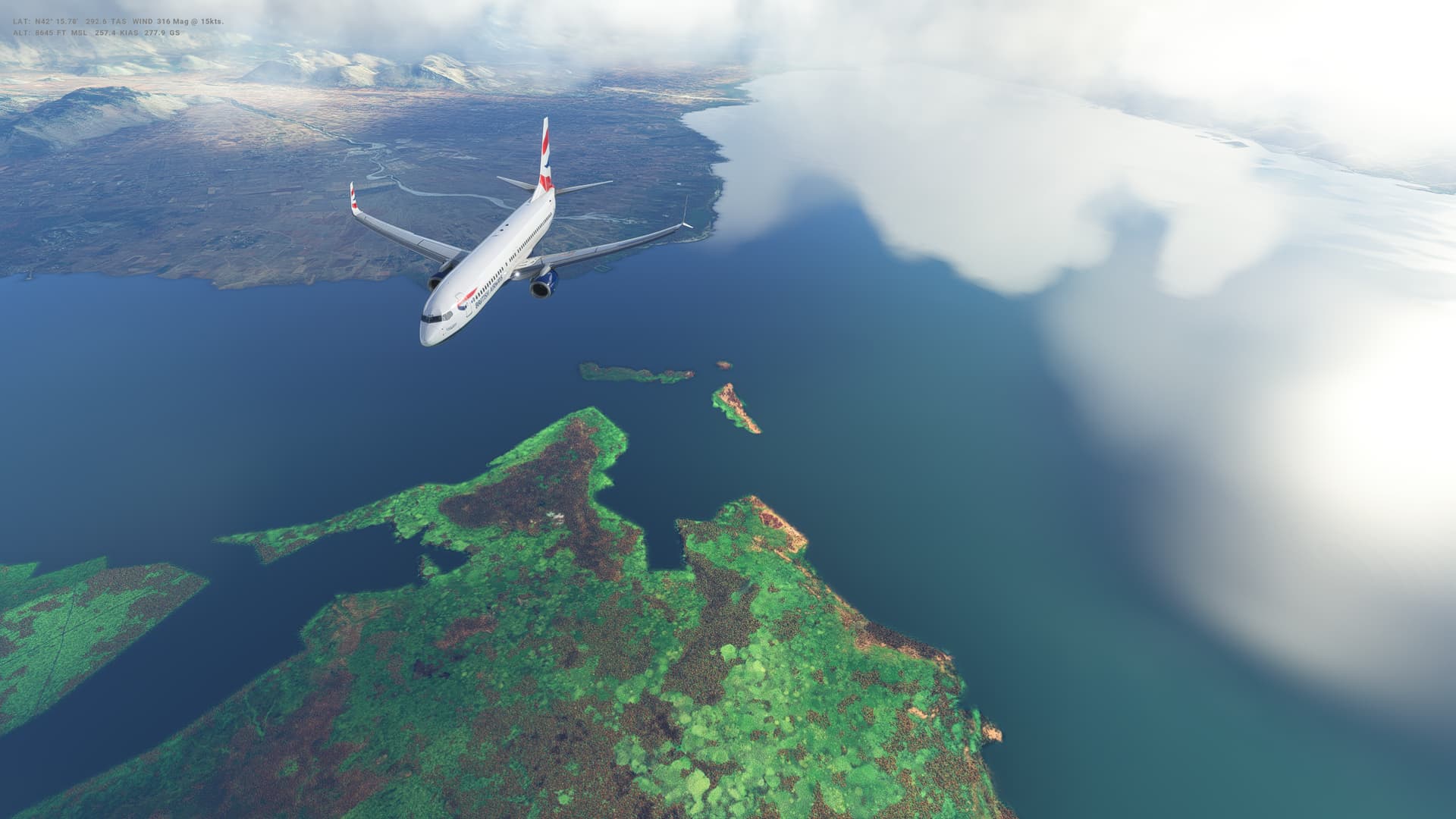
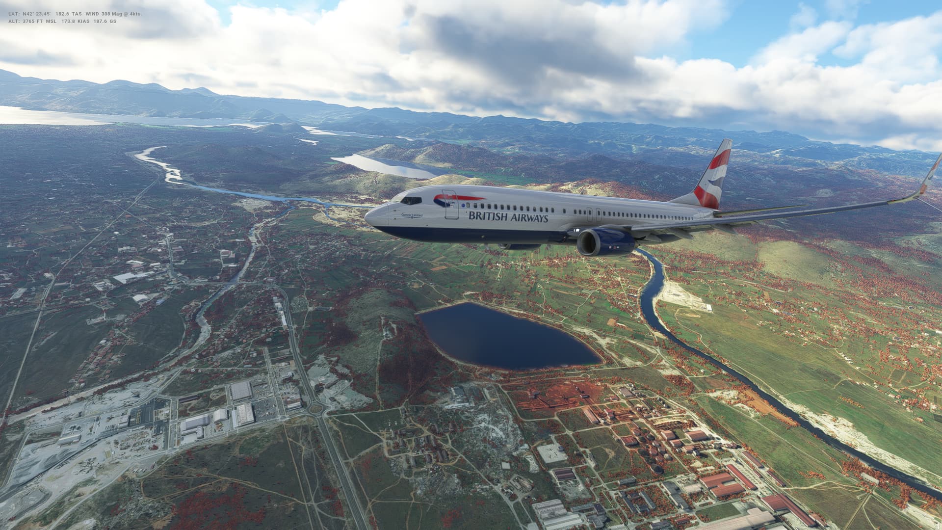
Leg 25: Skopje (LWSK), Macedonia to Pristina (BKPR), Kosovo
Summary
Very very short flight today - just 45 miles as the crow flies and only 70 when we get our flight plan in place. Honestly, barely enough time to get into the cruise before starting to descent and we don’t even get above 8,000 feet. Not quite our shortest hop, but close.
Some mixed weather on this short flight, but not bad for this time of year.
Best landing I’ve done for a while now - which was nice!
Kosovo
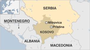
- Capital: Pristina
- Area: 10,887 sq km
- Major languages: Albanian, Serbian
- Population: 1.8 million
- Life expectancy: 68 years (men) 73 years (women)
Logbook
| This Leg |
Leg |
|
|
25 |
|
Date |
|
|
15/12/2022 |
|
Departure Airport |
ICAO |
|
LWSK |
|
|
Airport |
|
Skopje Alexander the Great International Airport |
|
|
Capital City |
|
Skopje |
|
|
Country |
|
Macedonia |
|
|
Runway |
|
16 |
|
Arrival Airport |
ICAO |
|
BKPR |
|
|
Airport |
|
Pristina International Airport |
|
|
Capital City |
|
Pristina |
|
|
Country |
|
Kosovo |
|
|
Runway |
|
17 |
|
Actual Time (Local) |
Pushback Time |
|
13:09 |
|
|
Take Off Time |
|
13:19 |
|
|
Touchdown Time |
|
13:36 |
|
|
Arrival Time |
|
13:43 |
|
|
Air time |
|
00:17 |
|
|
Total Time |
|
00:34 |
|
Ground Distance (Nm) |
|
|
71 |
|
Air Distance (Nm) |
|
|
70 |
|
Great Circle Distance (Nm) |
|
|
45 |
|
Fuel Start (Kgs) |
|
|
4,668 |
|
Fuel End (Kgs) |
|
|
2,758 |
|
Fuel Used (Kgs) |
|
|
1,910 |
|
SID |
|
|
None |
|
Route |
|
|
LWSK/16 DCT XAXAN XAXAN1A BKPR/17 |
|
STAR |
|
|
XAXAN1A |
|
Approach |
|
|
ILS Y 17 |
|
Passengers |
|
|
163 |
|
Cargo (000 Kgs) |
|
|
4,100 |
|
Take Off Weight (000 Kgs) |
|
|
64.8 |
|
Cruising Altitude (feet) |
|
|
8,000 |
| Cumulative |
Ground Distance (Nm) |
|
|
8,802 |
|
Air Distance (Nm) |
|
|
8,780 |
|
Great Circle Distance (Nm) |
|
|
7,034 |
|
Total air time |
|
|
10:55 |
|
Total time |
|
|
01:16:05 |
|
Fuel Used (Kgs) |
|
|
63,513 |
Flightplan:
IFR Skopje (LWSK) to Pristina (BKPR).lnmpln (1.2 KB)
Timelapse Video
Screenshots
Take Off
Cruise
Landing
Overall route so far
UTDD UTTT UCFM UACC UTAA OIII UBBB UGTB UDYZ ORBI OKBK OBBI OOMS OMAA OTHH OERK OJAI LLBG OSDI OLBA LCEN LTAC LRBS LBSF LWSK BKPR
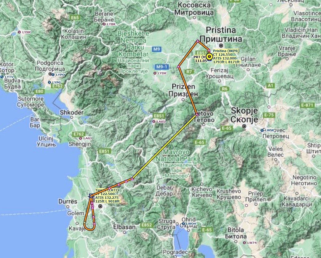
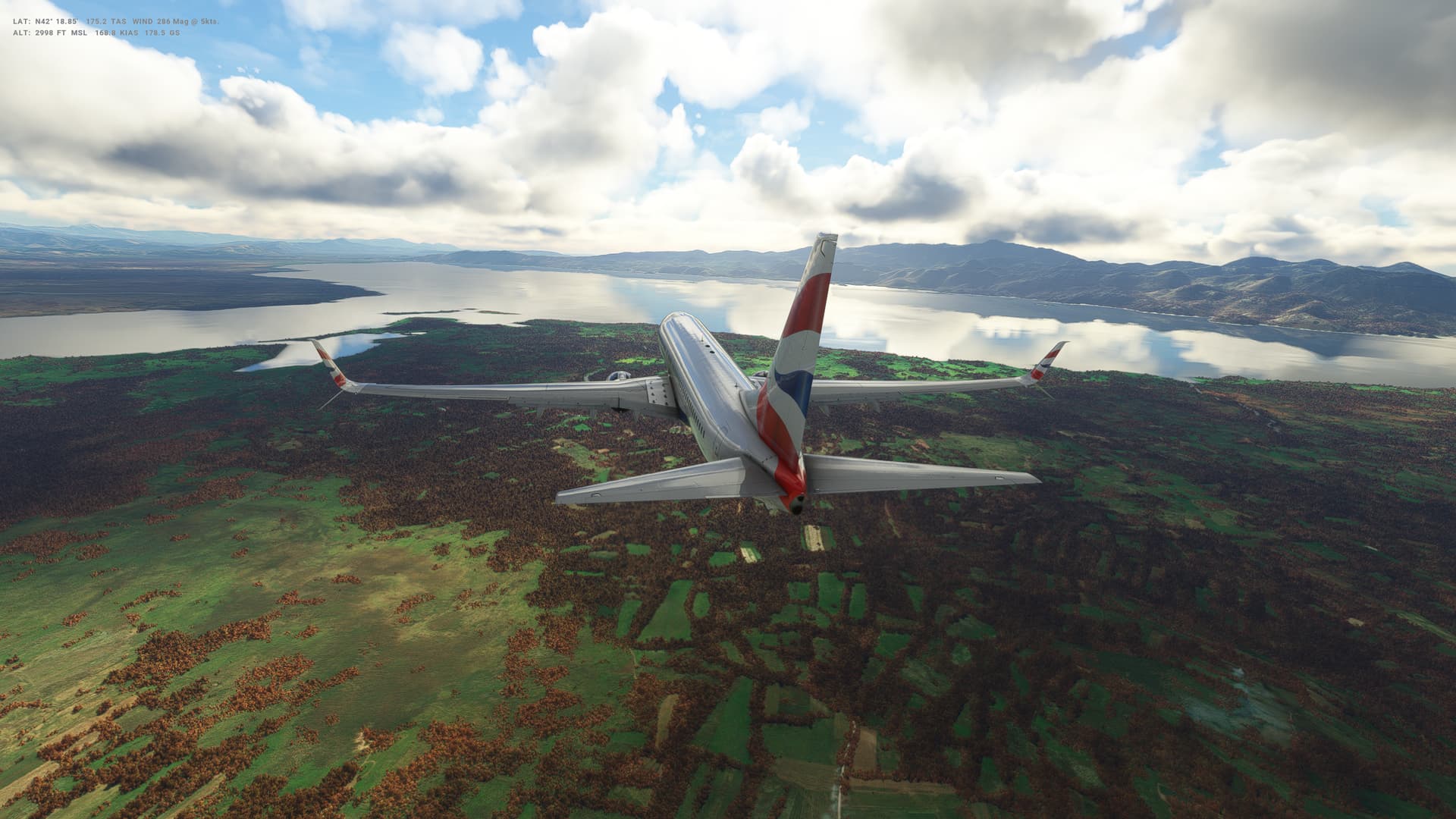
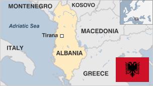
Leg 26: Pristina (BKPR), Kosovo to Tirana (LATI), Albania
Summary
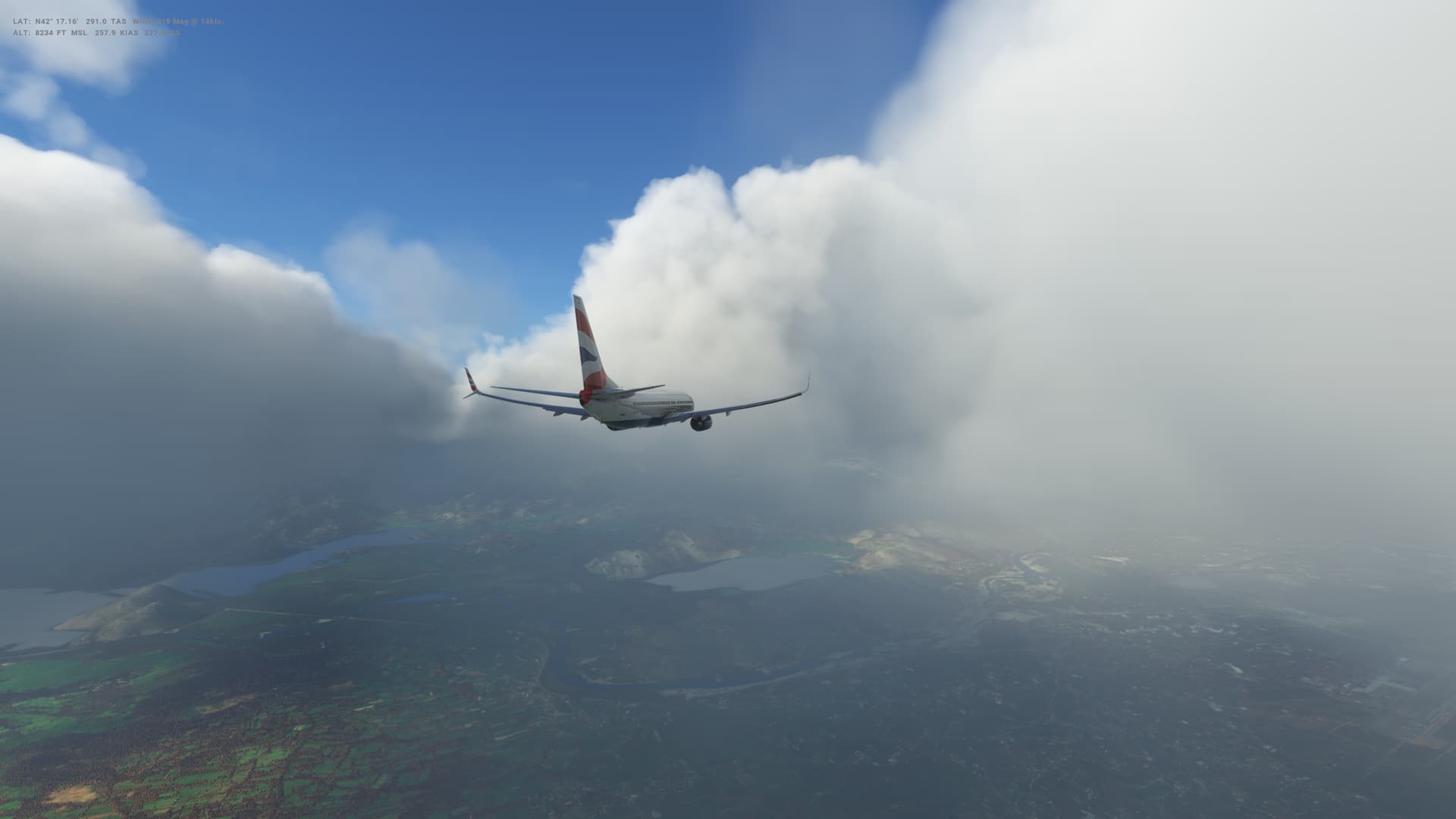
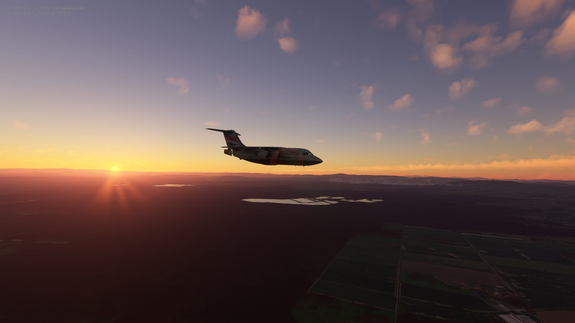
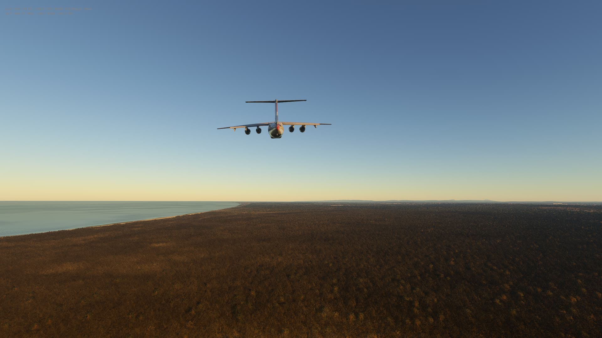
Another in a series of short flights we have in this phase of our trip - just 91 miles today from Kosovo to Albania. Some mixed weather along the way, but beautiful scenery over the hills to the north of Tirana - which itself is surrounded by hills seemingly on all sides.
My landings seem to be getting a little better 
Albania
-
Capital: Tirana
-
Area: 28,748 sq km
-
Major language: Albanian
-
Population: 2.7 million
-
Life expectancy: 74 years (men) 80 years (women)
Logbook
| This Leg |
Leg |
|
|
26 |
|
Date |
|
|
19/12/2021 |
|
Departure Airport |
ICAO |
|
BKPR |
|
|
Airport |
|
Pristina International Airport |
|
|
Capital City |
|
Pristina |
|
|
Country |
|
Kosovo |
|
|
Runway |
|
35 |
|
Arrival Airport |
ICAO |
|
LATI |
|
|
Airport |
|
Rinas Mother Teresa Airport |
|
|
Capital City |
|
Tirana |
|
|
Country |
|
Albania |
|
|
Runway |
|
35 |
|
Actual Time (Local) |
Pushback Time |
|
15:00 |
|
|
Take Off Time |
|
15:12 |
|
|
Touchdown Time |
|
15:50 |
|
|
Arrival Time |
|
15:55 |
|
|
Air time |
|
00:38 |
|
|
Total Time |
|
00:55 |
|
Ground Distance (Nm) |
|
|
137 |
|
Air Distance (Nm) |
|
|
132 |
|
Great Circle Distance (Nm) |
|
|
91 |
|
Fuel Start (Kgs) |
|
|
5,603 |
|
Fuel End (Kgs) |
|
|
3,245 |
|
Fuel Used (Kgs) |
|
|
2,358 |
|
SID |
|
|
SARAX1D |
|
Route |
|
|
BKPR/35 SARAX1D SARAX DCT ODRAS ODRAS2H LATI/35 |
|
STAR |
|
|
ODRAS2H |
|
Approach |
|
|
VOR DME 35 |
|
Passengers |
|
|
184 |
|
Cargo (000 Kgs) |
|
|
4,300 |
|
Take Off Weight (000 Kgs) |
|
|
67.8 |
|
Cruising Altitude (feet) |
|
|
17,000 |
| Cumulative |
Ground Distance (Nm) |
|
|
8,939 |
|
Air Distance (Nm) |
|
|
8,912 |
|
Great Circle Distance (Nm) |
|
|
7,125 |
|
Total air time |
|
|
11:33 |
|
Total time |
|
|
01:17:00 |
|
Fuel Used (Kgs) |
|
|
65,871 |
Flightplan:
IFR Pristina (BKPR) to Tirana (LATI).lnmpln (1.5 KB)
Timelapse Video
Screenshots
Take Off
Cruise
Landing
Overall route so far
UTDD UTTT UCFM UACC UTAA OIII UBBB UGTB UDYZ ORBI OKBK OBBI OOMS OMAA OTHH OERK OJAI LLBG OSDI OLBA LCEN LTAC LRBS LBSF LWSK BKPR LATI
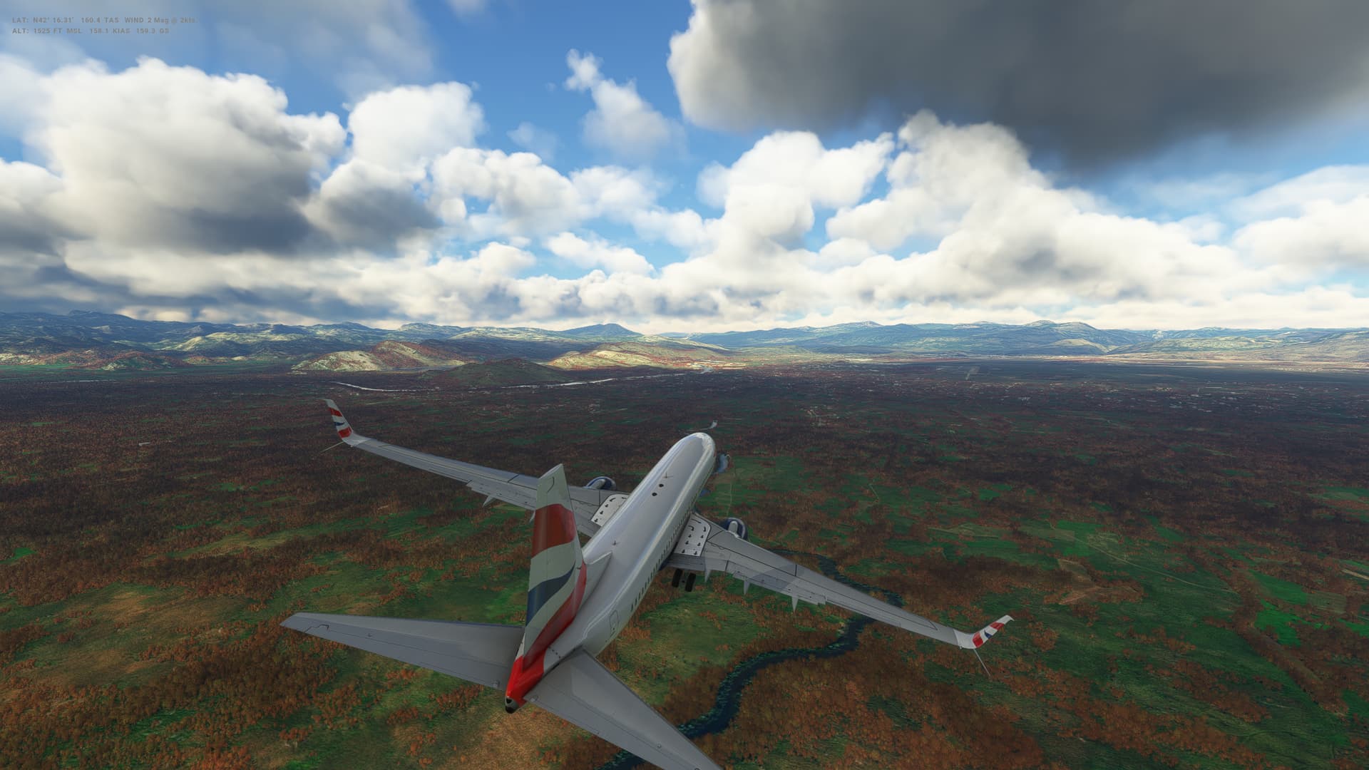
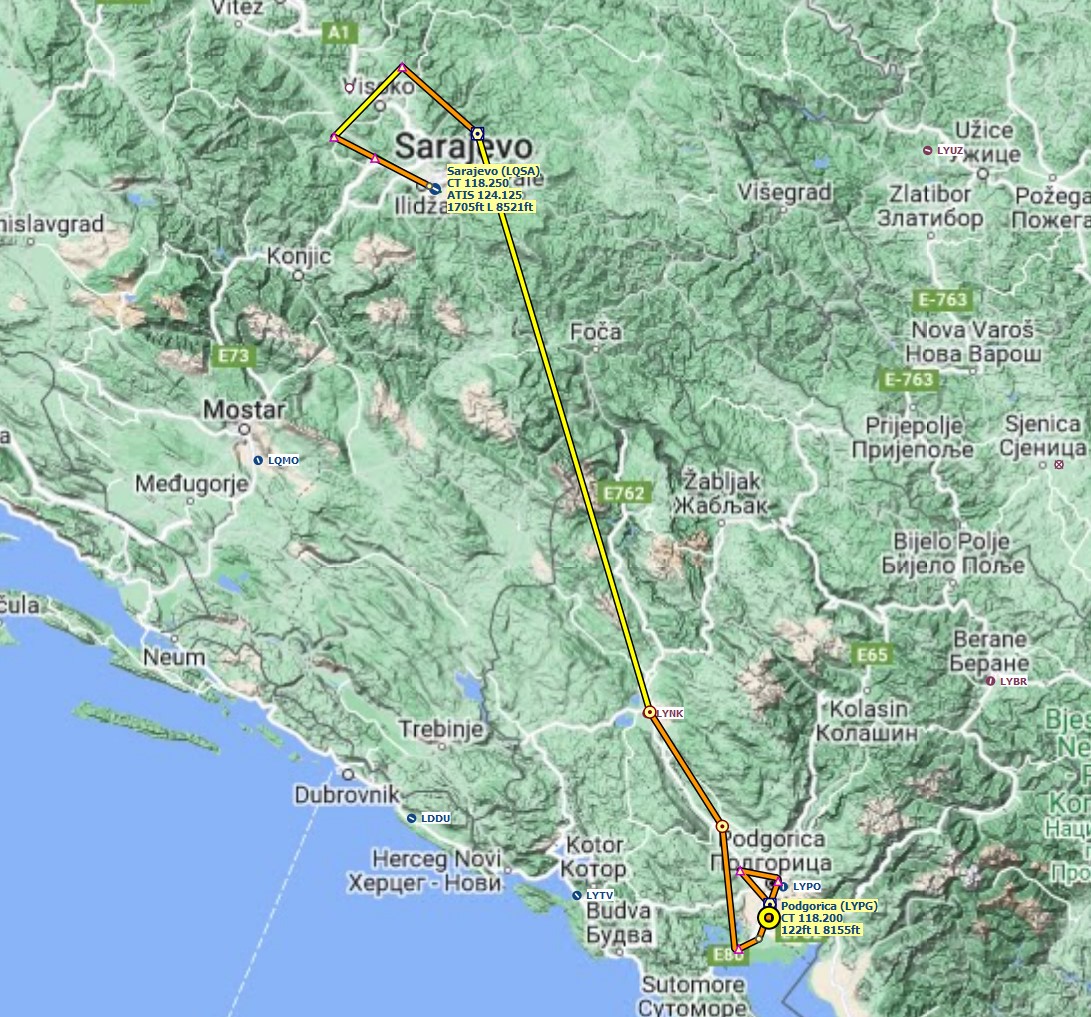
Leg 27: Tirana (LATI), Albania to Podgorica (LYPG), Montenegro
Summary
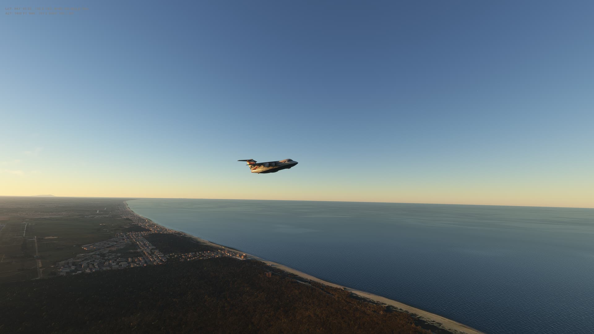
Just the 60 miles today North from Albania to Montenegro. We skirt the edge of the Adriatic Sea and cross the large Shkodra Lake before circling around to land in Podgorica. Nice views on the way too and the weather not too bad.
Montenegro
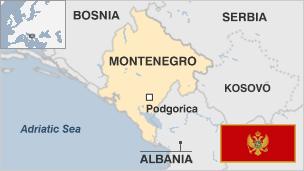
- Administrative capital: Podgorica
- Population 633,000
- Area 13,812 sq km (5,333 sq miles)
- Major languages Serbian, Montenegrin
- Major religions Christianity, Islam
- Life expectancy 73 years (men), 77 years (women)
- Currency euro
Logbook
| This Leg |
Leg |
|
|
27 |
|
Date |
|
|
22/12/2022 |
|
Departure Airport |
ICAO |
|
LATI |
|
|
Airport |
|
Rinas Mother Teresa Airport |
|
|
Capital City |
|
Tirane |
|
|
Country |
|
Albania |
|
|
Runway |
|
35 |
|
Arrival Airport |
ICAO |
|
LYPG |
|
|
Airport |
|
Podgorica Airport |
|
|
Capital City |
|
Podgorica |
|
|
Country |
|
Montenegro |
|
|
Runway |
|
36 |
|
Actual Time (Local) |
Pushback Time |
|
13:00 |
|
|
Take Off Time |
|
13:14 |
|
|
Touchdown Time |
|
13:45 |
|
|
Arrival Time |
|
13:49 |
|
|
Air time |
|
00:31 |
|
|
Total Time |
|
00:49 |
|
Ground Distance (Nm) |
|
|
62 |
|
Air Distance (Nm) |
|
|
62 |
|
Great Circle Distance (Nm) |
|
|
60 |
|
Fuel Start (Kgs) |
|
|
4,711 |
|
Fuel End (Kgs) |
|
|
2,946 |
|
Fuel Used (Kgs) |
|
|
1,765 |
|
SID |
|
|
n/a |
|
Route |
|
|
LATI/35 INLO1W LYPG/36 |
|
STAR |
|
|
INLO1W |
|
Approach |
|
|
ILS 36 |
|
Passengers |
|
|
145 |
|
Cargo (000 Kgs) |
|
|
3,600 |
|
Take Off Weight (000 Kgs) |
|
|
62.9 |
|
Cruising Altitude (feet) |
|
|
8,000 |
| Cumulative |
Ground Distance (Nm) |
|
|
9,001 |
|
Air Distance (Nm) |
|
|
8,974 |
|
Great Circle Distance (Nm) |
|
|
7,185 |
|
Total air time |
|
|
12:04 |
|
Total time |
|
|
01:17:49 |
|
Fuel Used (Kgs) |
|
|
67,636 |
Flightplan:
IFR Tirana (LATI) to Podgorica (LYPG).lnmpln (1.5 KB)
Timelapse Video
Screenshots
Take Off
Cruise
Landing
Overall route so far
UTDD UTTT UCFM UACC UTAA OIII UBBB UGTB UDYZ ORBI OKBK OBBI OOMS OMAA OTHH OERK OJAI LLBG OSDI OLBA LCEN LTAC LRBS LBSF LWSK BKPR LATI LYPG
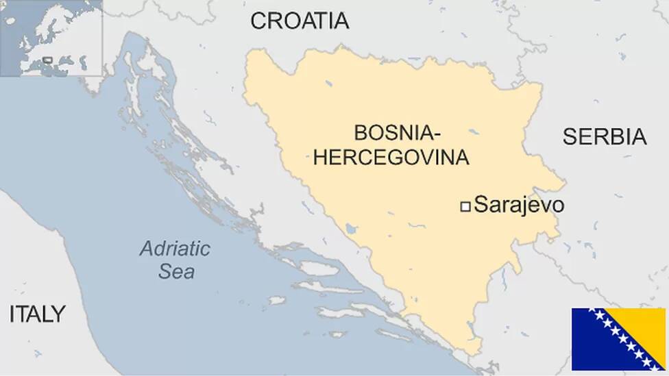
Leg 28: Podgorica (LYPG), Montenegro to Sarajevo (LQSA), Bosnia & Herzogovina
Summary
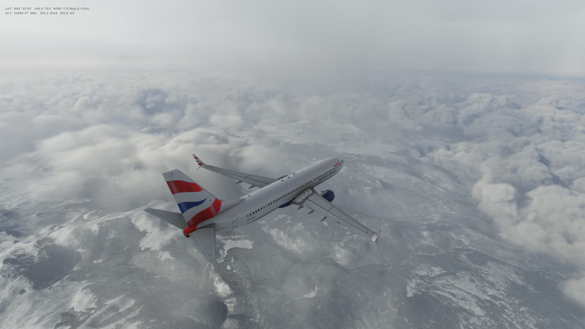
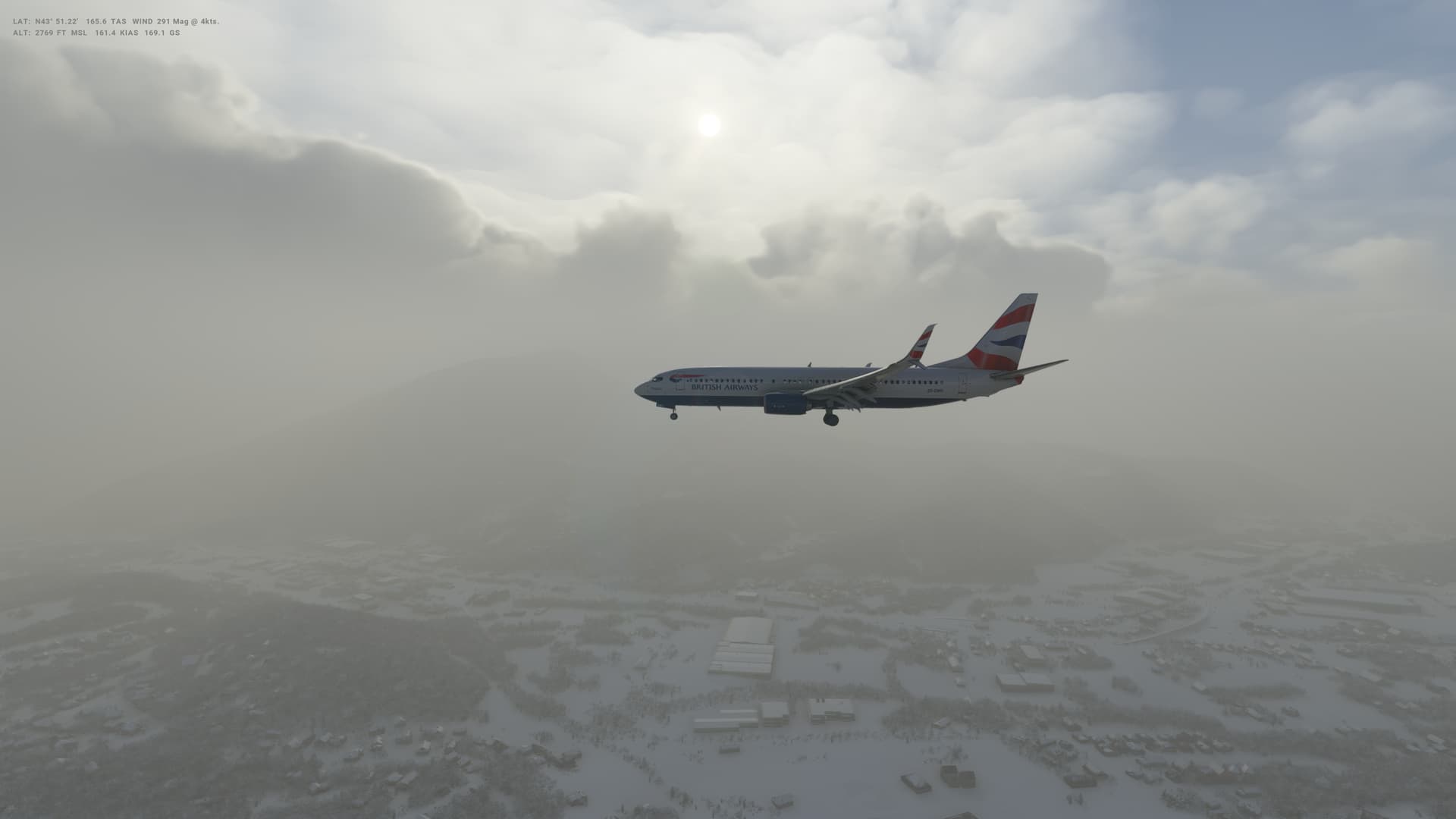
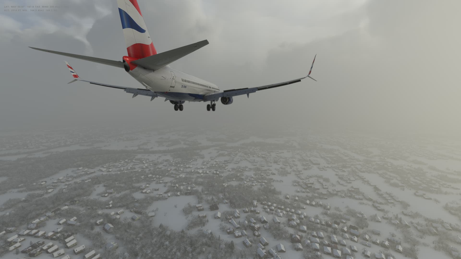
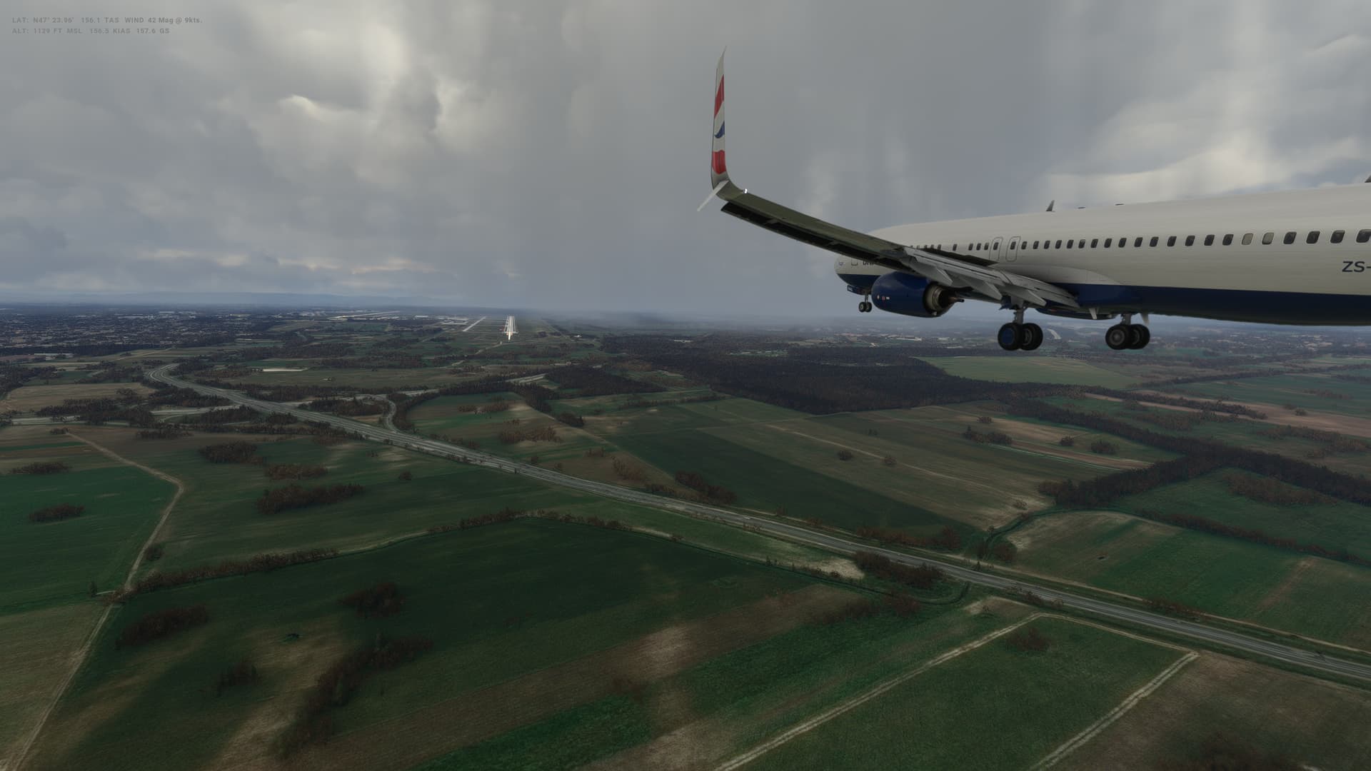
Little bit of a longer flight today - 160 milesor so North to Sarajevo in Bosnia & Herzegovina. Winter weather is here - some very cloudy weather and snow in Sarajevo when we land. One of my better landings at least on a very wet runway.
Bosnia & Herzegovina
- Capital: Sarajevo
- Area: 51,129 sq km
- Population: 3.4 million
- Languages: Bosnian, Croatian, Serbian
- Life expectancy: 75 years (men) 79 years (women)
Logbook
| This Leg |
Leg |
|
|
28 |
|
Date |
|
|
22/12/2022 |
|
Departure Airport |
ICAO |
|
LYPG |
|
|
Airport |
|
Podgorica Airport |
|
|
Capital City |
|
Podgorica |
|
|
Country |
|
Montenegro |
|
|
Runway |
|
36 |
|
Arrival Airport |
ICAO |
|
LQSA |
|
|
Airport |
|
Sarajevo International Airport |
|
|
Capital City |
|
Sarajevo |
|
|
Country |
|
Bosnia and Herzegovina |
|
|
Runway |
|
11 |
|
Actual Time (Local) |
Pushback Time |
|
11:00 |
|
|
Take Off Time |
|
11:16 |
|
|
Touchdown Time |
|
11:55 |
|
|
Arrival Time |
|
12:00 |
|
|
Air time |
|
00:39 |
|
|
Total Time |
|
01:00 |
|
Ground Distance (Nm) |
|
|
161 |
|
Air Distance (Nm) |
|
|
162 |
|
Great Circle Distance (Nm) |
|
|
97 |
|
Fuel Start (Kgs) |
|
|
5,467 |
|
Fuel End (Kgs) |
|
|
2,789 |
|
Fuel Used (Kgs) |
|
|
2,678 |
|
SID |
|
|
NIK1H |
|
Route |
|
|
LYPG/36 NIK1H NIK DCT KEB KEB1T LQSA/11 |
|
STAR |
|
|
KEB1T |
|
Approach |
|
|
ILS Z 11 |
|
Passengers |
|
|
184 |
|
Cargo (000 Kgs) |
|
|
4,600 |
|
Take Off Weight (000 Kgs) |
|
|
68.0 |
|
Cruising Altitude (feet) |
|
|
24,000 |
| Cumulative |
Ground Distance (Nm) |
|
|
9,162 |
|
Air Distance (Nm) |
|
|
9,136 |
|
Great Circle Distance (Nm) |
|
|
7,282 |
|
Total air time |
|
|
12:43 |
|
Total time |
|
|
01:18:49 |
|
Fuel Used (Kgs) |
|
|
70,314 |
Flightplan:
IFR Podgorica (LYPG) to Sarajevo (LQSA).lnmpln (1.5 KB)
Timelapse Video
Screenshots
Take Off
Cruise
Landing
Overall route so far
UTDD UTTT UCFM UACC UTAA OIII UBBB UGTB UDYZ ORBI OKBK OBBI OOMS OMAA OTHH OERK OJAI LLBG OSDI OLBA LCEN LTAC LRBS LBSF LWSK BKPR LATI LYPG LQSA
Leg 29: Sarajevo (LQSA), Bosnia & Herzogovina to Belgrade (LYBE), Serbia
Summary
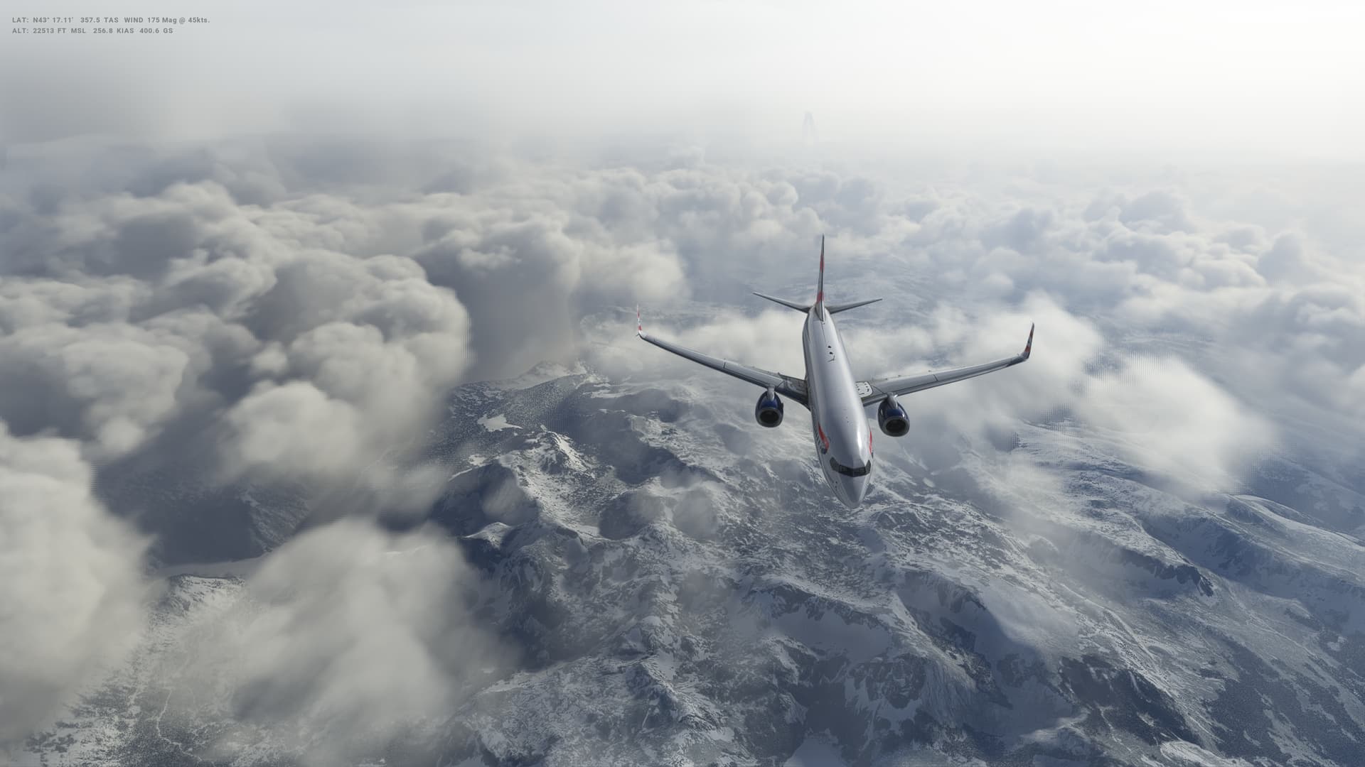
Cntinuing in the wintry weather, we are heading North East to Belgrade in Serbia. Another relatively short flight - just under 200 miles. Still snowing in Sarajevowhen we leave, but dry by the time we get to Belgrade, only an hour or so away.
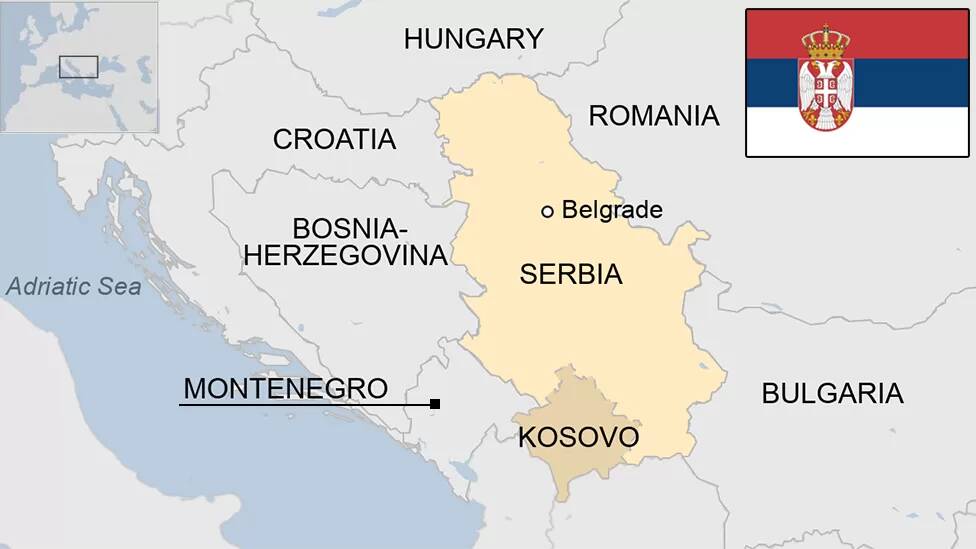
Serbia
-
Capital: Belgrade
-
Area: 77,474 sq km (excluding Kosovo)
-
Population: 6.7 million (excluding Kosovo)
-
Language: Serbian
-
Life expectancy: 71 years (men) 77 years (women)
Logbook
| This Leg |
Leg |
|
|
29 |
|
Date |
|
|
23/12/2022 |
|
Departure Airport |
ICAO |
|
LQSA |
|
|
Airport |
|
Sarajevo International Airport |
|
|
Capital City |
|
Sarajevo |
|
|
Country |
|
Bosnia and Herzegovina |
|
|
Runway |
|
11 |
|
Arrival Airport |
ICAO |
|
LYBE |
|
|
Airport |
|
Belgrade Nikola Tesla Airport |
|
|
Capital City |
|
Belgrade |
|
|
Country |
|
Serbia |
|
|
Runway |
|
12 |
|
Actual Time (Local) |
Pushback Time |
|
14:00 |
|
|
Take Off Time |
|
14:12 |
|
|
Touchdown Time |
|
14:52 |
|
|
Arrival Time |
|
14:56 |
|
|
Air time |
|
00:40 |
|
|
Total Time |
|
00:56 |
|
Ground Distance (Nm) |
|
|
194 |
|
Air Distance (Nm) |
|
|
195 |
|
Great Circle Distance (Nm) |
|
|
104 |
|
Fuel Start (Kgs) |
|
|
5,487 |
|
Fuel End (Kgs) |
|
|
2,670 |
|
Fuel Used (Kgs) |
|
|
2,817 |
|
SID |
|
|
n/a |
|
Route |
|
|
LQSA/11 DCT MITNO L614 TORTO P129 ELGEB ELGEB3A LYBE/12 |
|
STAR |
|
|
ELGEB3A |
|
Approach |
|
|
ILS 12 |
|
Passengers |
|
|
184 |
|
Cargo (000 Kgs) |
|
|
4,600 |
|
Take Off Weight (000 Kgs) |
|
|
68.0 |
|
Cruising Altitude (feet) |
|
|
21,000 |
| Cumulative |
Ground Distance (Nm) |
|
|
9,356 |
|
Air Distance (Nm) |
|
|
9,331 |
|
Great Circle Distance (Nm) |
|
|
7,386 |
|
Total air time |
|
|
13:23 |
|
Total time |
|
|
01:19:45 |
|
Fuel Used (Kgs) |
|
|
73,131 |
Flightplan:
IFR Sarajevo (LQSA) to Belgrade (LYBE).lnmpln (2.3 KB)
Timelapse Video
Screenshots
Take Off
Cruise
Landing
Overall route so far
UTDD UTTT UCFM UACC UTAA OIII UBBB UGTB UDYZ ORBI OKBK OBBI OOMS OMAA OTHH OERK OJAI LLBG OSDI OLBA LCEN LTAC LRBS LBSF LWSK BKPR LATI LYPG LQSA LYBE
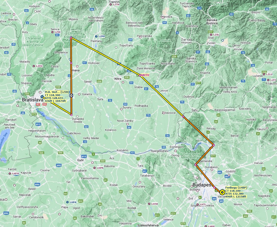
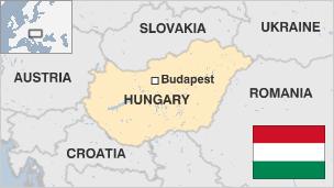
Leg 30: Belgrade (LYBE), Serbia to Budapest (LHBP), Hungary
Summary
Not snowy today, but still cloudy and cold. We continue to head North through Eastern Europe, this time about 200 miles to Budapest in Hungary. One of my better landings I think this time.
Hungary
-
Capital: Budapest
-
Area: 93,030 sq km
-
Population: 9.78 million
-
Languages: Hungarian
-
Life expectancy: 72 years (men) 79 years (women)
Logbook
| This Leg |
Leg |
|
|
30 |
|
Date |
|
|
20/01/2023 |
|
Departure Airport |
ICAO |
|
LYBE |
|
|
Airport |
|
Belgrade Nikola Tesla Airport |
|
|
Capital City |
|
Belgrade |
|
|
Country |
|
Serbia |
|
|
Runway |
|
30 |
|
Arrival Airport |
ICAO |
|
LHBP |
|
|
Airport |
|
Budapest International Airport |
|
|
Capital City |
|
Budapest |
|
|
Country |
|
Hungary |
|
|
Runway |
|
31R |
|
Actual Time (Local) |
Pushback Time |
|
13:00 |
|
|
Take Off Time |
|
13:15 |
|
|
Touchdown Time |
|
13:54 |
|
|
Arrival Time |
|
13:56 |
|
|
Air time |
|
00:39 |
|
|
Total Time |
|
00:56 |
|
Ground Distance (Nm) |
|
|
202 |
|
Air Distance (Nm) |
|
|
190 |
|
Great Circle Distance (Nm) |
|
|
163 |
|
Fuel Start (Kgs) |
|
|
5,920 |
|
Fuel End (Kgs) |
|
|
3,152 |
|
Fuel Used (Kgs) |
|
|
2,768 |
|
SID |
|
|
TISAK2S |
|
Route |
|
|
LYBE/30 TISAK2S TISAK DCT BUG DCT EBAMO EBAMO2H LHBP/31R |
|
STAR |
|
|
EBAMO2H |
|
Approach |
|
|
VOR DME 31R |
|
Passengers |
|
|
181 |
|
Cargo (000 Kgs) |
|
|
4,500 |
|
Take Off Weight (000 Kgs) |
|
|
68.1 |
|
Cruising Altitude (feet) |
|
|
28,000 |
| Cumulative |
Ground Distance (Nm) |
|
|
9,558 |
|
Air Distance (Nm) |
|
|
9,521 |
|
Great Circle Distance (Nm) |
|
|
7,549 |
|
Total air time |
|
|
14:02 |
|
Total time |
|
|
01:20:41 |
|
Fuel Used (Kgs) |
|
|
75,899 |
Flightplan:
IFR Belgrade (LYBE) to Ferihegy (LHBP).lnmpln (1.5 KB)
Timelapse Video
Screenshots
Take Off
Cruise
Landing
Overall route so far
UTDD UTTT UCFM UACC UTAA OIII UBBB UGTB UDYZ ORBI OKBK OBBI OOMS OMAA OTHH OERK OJAI LLBG OSDI OLBA LCEN LTAC LRBS LBSF LWSK BKPR LATI LYPG LQSA LYBE LHBP
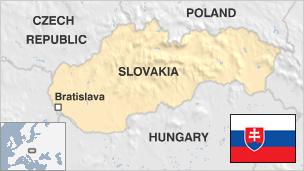
Leg 31: Budapest (LHBP), Hungary to Bratislava (LZIB), Slovakia
Summary
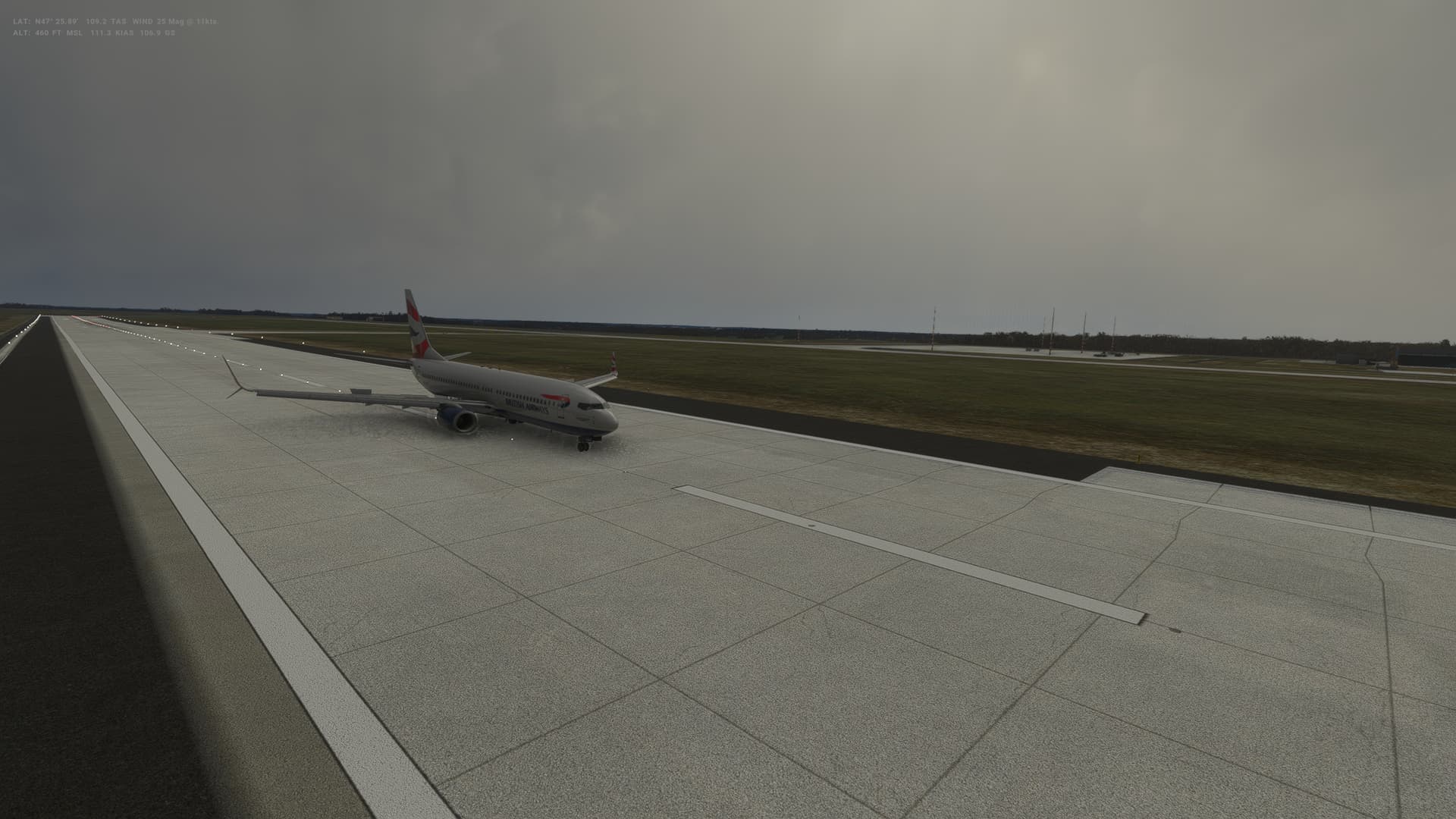
Back to snow again in Bratislava as we head North West about 160 miles or so. Had a bit of an incident on landing - rudder pedal failure - which meant I drifted off the runway on landing. Good news was that a quick unplug/plug got them working again and I’m sure none of the passengers noticed the detour across the graa…and also the detour over the grass during the taxi to the gate too. Well it was snowing and hard to see the taxi way lines!
Slovakia
- Population 5.5 million
- Area 49,033 sq km (18,932 sq miles)
- Major language Slovak
- Major religion Christianity
- Life expectancy 74 years (men), 81 years (women)
- Currency euro
Logbook
| This Leg |
Leg |
|
|
31 |
|
Date |
|
|
21/01/2023 |
|
Departure Airport |
ICAO |
|
LHBP |
|
|
Airport |
|
Budapest International Airport |
|
|
Capital City |
|
Budapest |
|
|
Country |
|
Hungary |
|
|
Runway |
|
31L |
|
Arrival Airport |
ICAO |
|
LZIB |
|
|
Airport |
|
Milan Rastislav Stefánik Airport |
|
|
Capital City |
|
Bratislava |
|
|
Country |
|
Slovakia |
|
|
Runway |
|
31 |
|
Actual Time (Local) |
Pushback Time |
|
11:00 |
|
|
Take Off Time |
|
11:12 |
|
|
Touchdown Time |
|
11:34 |
|
|
Arrival Time |
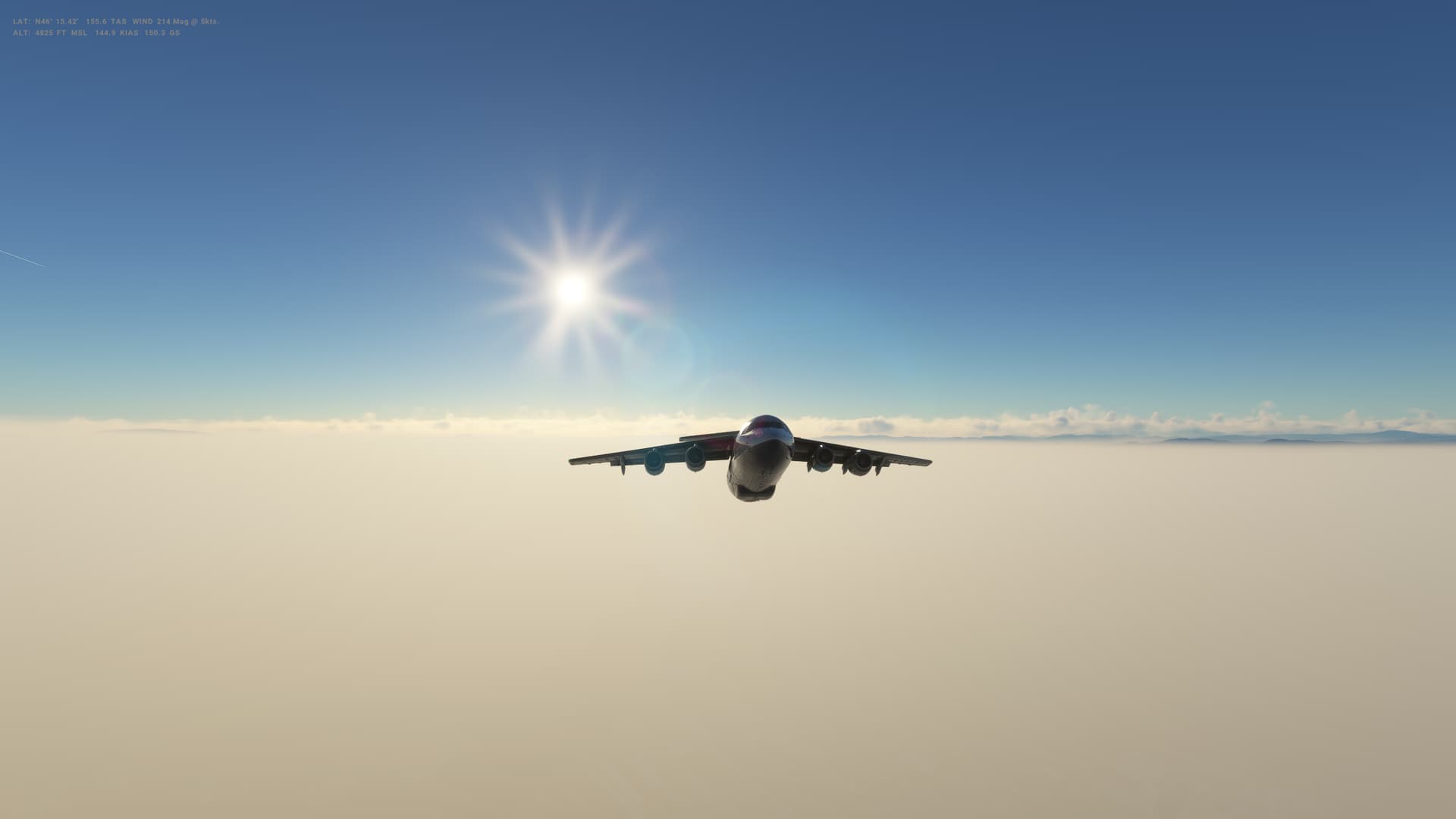
|
11:38 |
|
|
Air time |
|
00:22 |
|
|
Total Time |
|
00:38 |
|
Ground Distance (Nm) |
|
|
164 |
|
Air Distance (Nm) |
|
|
156 |
|
Great Circle Distance (Nm) |
|
|
94 |
|
Fuel Start (Kgs) |
|
|
4,709 |
|
Fuel End (Kgs) |
|
|
2,201 |
|
Fuel Used (Kgs) |
|
|
2,508 |
|
SID |
|
|
BADOV2L |
|
Route |
|
|
LHBP/31L BADOV2L BADOV P41 ABITU Z650 BERVA BERVA3R LZIB/31 |
|
STAR |
|
|
BERVA3R |
|
Approach |
|
|
ILS 31 |
|
Passengers |
|
|
184 |
|
Cargo (000 Kgs) |
|
|
4,600 |
|
Take Off Weight (000 Kgs) |
|
|
67.2 |
|
Cruising Altitude (feet) |
|
|
24,000 |
| Cumulative |
Ground Distance (Nm) |
|
|
9,722 |
|
Air Distance (Nm) |
|
|
9,677 |
|
Great Circle Distance (Nm) |
|
|
7,643 |
|
Total air time |
|
|
14:24 |
|
Total time |
|
|
01:21:19 |
|
Fuel Used (Kgs) |
|
|
78,407 |
Flightplan:
IFR Ferihegy (LHBP) to M.R. Stefanik (LZIB).lnmpln (1.9 KB)
Timelapse Video
Screenshots
Take Off
Cruise
Landing
Overall route so far
UTDD UTTT UCFM UACC UTAA OIII UBBB UGTB UDYZ ORBI OKBK OBBI OOMS OMAA OTHH OERK OJAI LLBG OSDI OLBA LCEN LTAC LRBS LBSF LWSK BKPR LATI LYPG LQSA LYBE LHBP LZIB
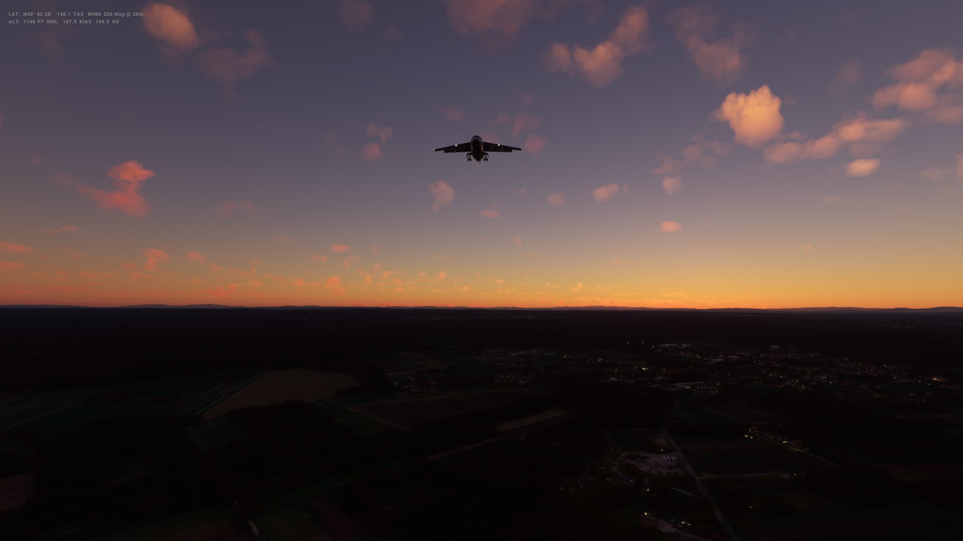
Leg 32: Bratislava (LZIB), Slovakia to Vienna (LOWW), Austria
Summary
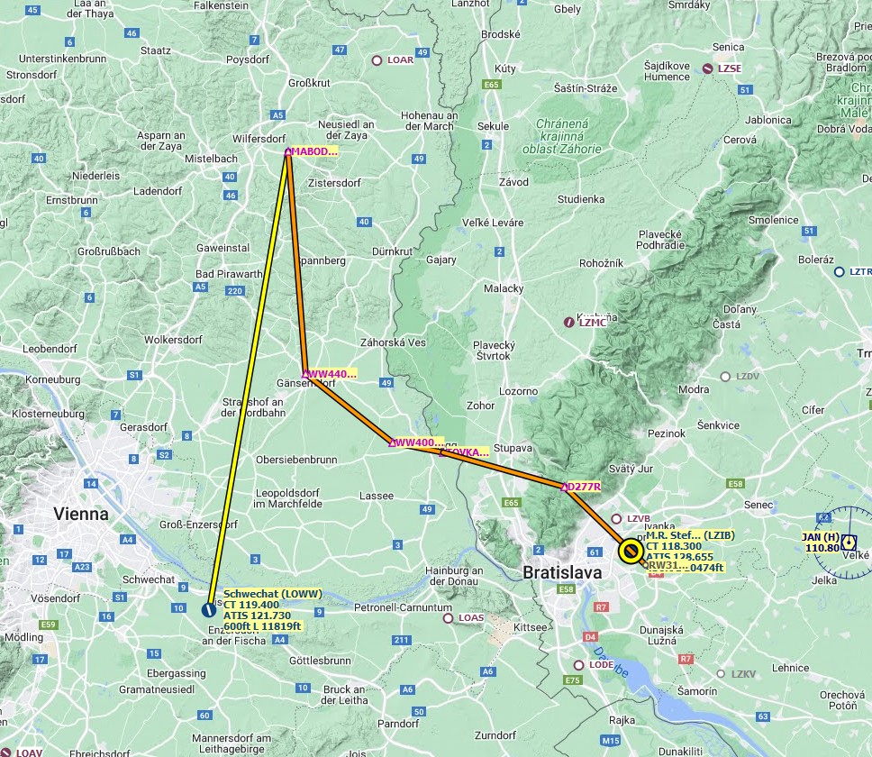
A very very short flight today - just 26Nm as the crow flies, although we are following some procedures that take us more like 80Nm over the ground. So from Bratislava to Vienna - in theory a straight shot West, but we go North West and then turn South for the approach. With such a short flight, we are cruising at only 6,000 feet - not the kind of flight the 737 is really designed for.
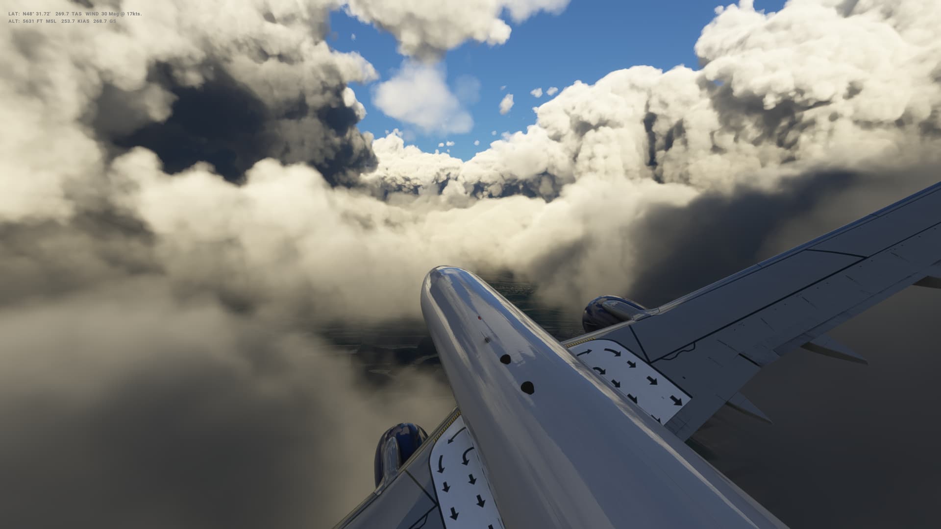
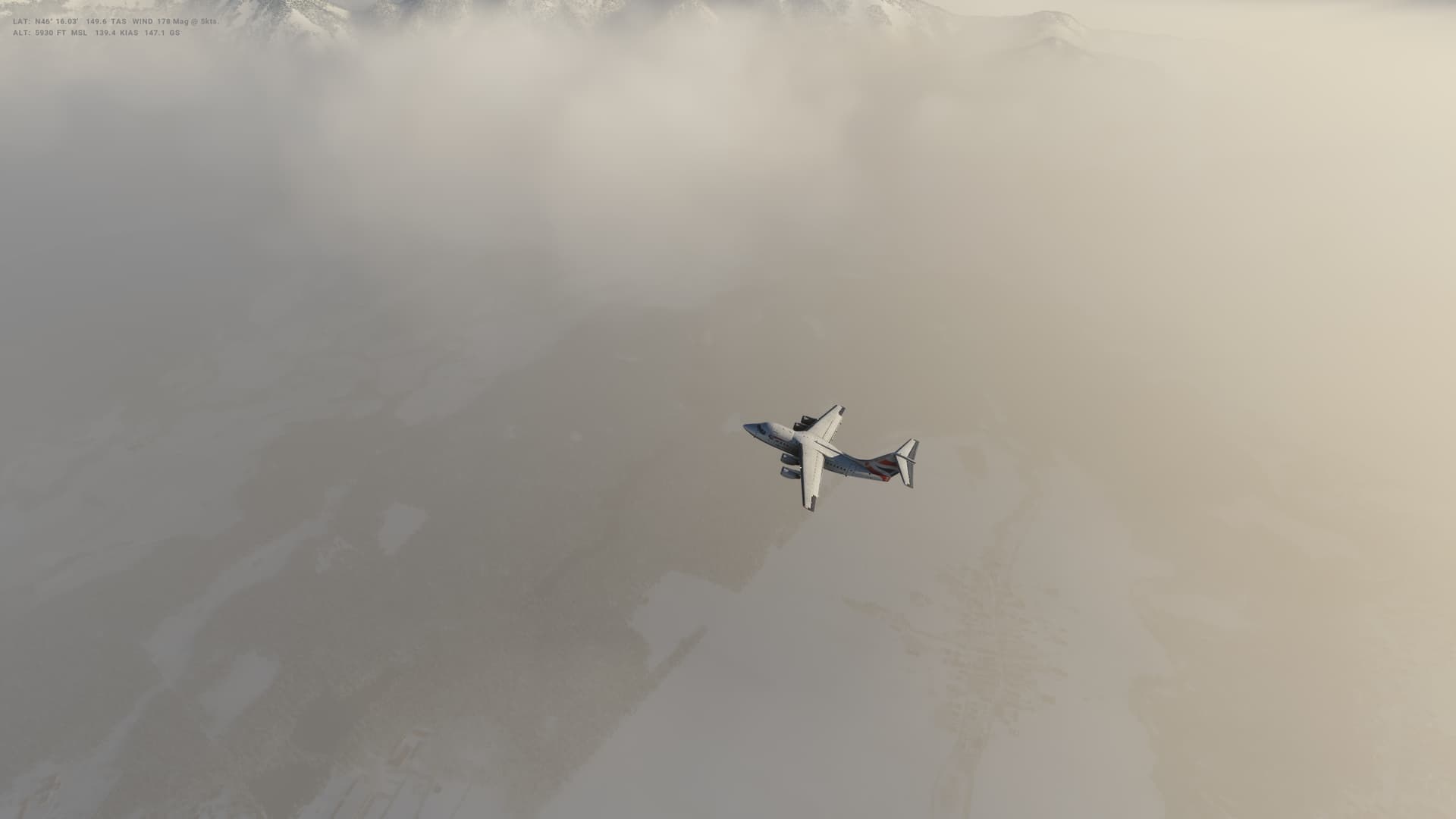
Weather is very cloudy today, anmd so we barely get a glimpse of Vienna at all and spend a lot of time ploughing through the clouds.
I’ve got into this habit of pulling up a bit on the landing when I disengage the auto throttle and auto pilot - that basically pushed me a long way down the runway before I could get it touched down today, which I;m not sure the 160 or so passangers enjoyed too much
Austria
-
Capital: Vienna
-
Area: 83,871 sq km
-
Population: 9.02 million
-
Languages: German, plus Hungarian, Slovene, Burgenland Croatian
-
Life expectancy: 78 years (men) 83 years (women)
Logbook
| This Leg |
Leg |
|
|
32 |
|
Date |
|
|
27/01/2023 |
|
Departure Airport |
ICAO |
|
LZIB |
|
|
Airport |
|
Milan Rastislav Stefánik Airport |
|
|
Capital City |
|
Bratislava |
|
|
Country |
|
Slovakia |
|
|
Runway |
|
31 |
|
Arrival Airport |
ICAO |
|
LOWW |
|
|
Airport |
|
Vienna International Airport |
|
|
Capital City |
|
Vienna |
|
|
Country |
|
Austria |
|
|
Runway |
|
29 |
|
Actual Time (Local) |
Pushback Time |
|
09:00 |
|
|
Take Off Time |
|
09:12 |
|
|
Touchdown Time |
|
09:34 |
|
|
Arrival Time |
|
09:39 |
|
|
Air time |
|
00:22 |
|
|
Total Time |
|
00:39 |
|
Ground Distance (Nm) |
|
|
80 |
|
Air Distance (Nm) |
|
|
79 |
|
Great Circle Distance (Nm) |
|
|
26 |
|
Fuel Start (Kgs) |
|
|
4,719 |
|
Fuel End (Kgs) |
|
|
2,848 |
|
Fuel Used (Kgs) |
|
|
1,871 |
|
SID |
|
|
TOVKA1K |
|
Route |
|
|
LZIB/31 TOVKA1K TOVKA TOVKA3W LOWW/29 |
|
STAR |
|
|
TOVKA3W |
|
Approach |
|
|
ILS U 29 |
|
Passengers |
|
|
160 |
|
Cargo (000 Kgs) |
|
|
4,000 |
|
Take Off Weight (000 Kgs) |
|
|
67.2 |
|
Cruising Altitude (feet) |
|
|
6,000 |
| Cumulative |
Ground Distance (Nm) |
|
|
9,802 |
|
Air Distance (Nm) |
|
|
9,756 |
|
Great Circle Distance (Nm) |
|
|
7,669 |
|
Total air time |
|
|
14:46 |
|
Total time |
|
|
01:21:58 |
|
Fuel Used (Kgs) |
|
|
80,278 |
Flightplan:
IFR M.R. Stefanik (LZIB) to Schwechat (LOWW).lnmpln (1.3 KB)
Timelapse Video
Screenshots
Take Off
Cruise
Landing
Overall route so far
UTDD UTTT UCFM UACC UTAA OIII UBBB UGTB UDYZ ORBI OKBK OBBI OOMS OMAA OTHH OERK OJAI LLBG OSDI OLBA LCEN LTAC LRBS LBSF LWSK BKPR LATI LYPG LQSA LYBE LHBP LZIB LOWW
Quick question. I’ve actually been trying to replicate your adventure as well as I really liked the idea of going to all the capitals. It seems there are a few capitals that are missed however. I noticed that Yemen, Western Sahara and Argentina seem to be missing. Was it just an accidental oversite as this is quite a complicated route.
Hi, thanks for the post - and hope I’ve maybe inspired you a little with my mad plan!
Anyway, good question on the capitals. I originally used a list from Wikipedia but then realised it was missing about 27 (the original country list had 200 in it - but I think I didn’t scroll enough when copying the list!). Also some countries are deemed to be countries by some countries but not everyone. I should really have used an official UN list or something.
I’ve checked the three you mentioned.
Argentina (Buenos Aires) is definitely there - leg 172 flies in to there from Montevideo.
Western Saharah is a disputed country - 80% controlled by Morocco. So I’m counting that as part of Morocco, at least for my purposes.
However, it does look like I’m missing Yemen which is a bit annoying especially as I was fairly close to there early on when I was at Oman. However it looks like I can drop in there between Eritrea and Djibouti without adding in too many more miles (a short hop back over the Gulf of Aden).
Thanks for flagging that - hadn’t noticed it was missing.
Hope this helps you, and have fun!
1 Like
Thanks for the update and clarification. I did notice Argentina after another look. Loving the adventure. Thanks for pulling it all together.
1 Like
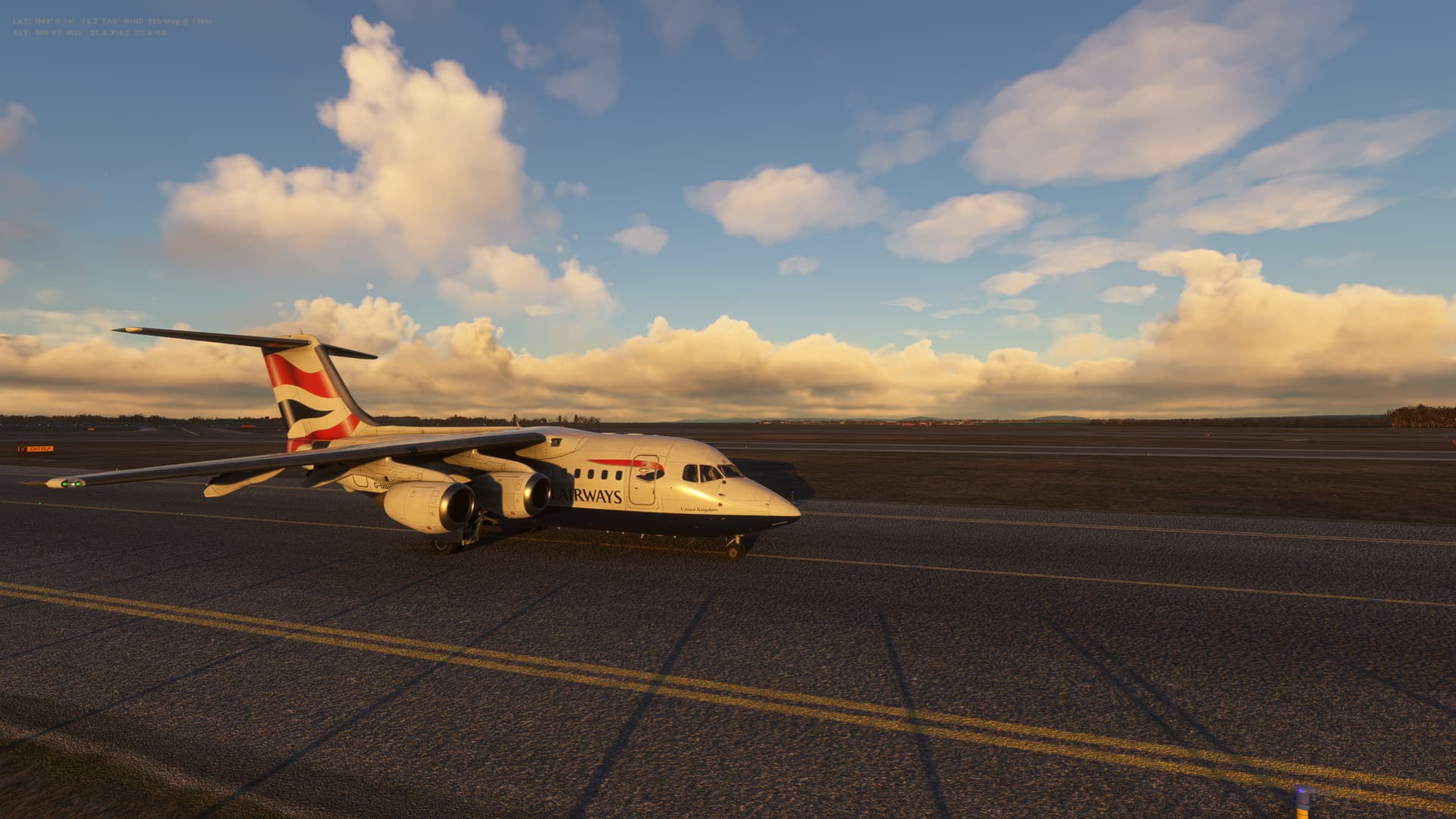
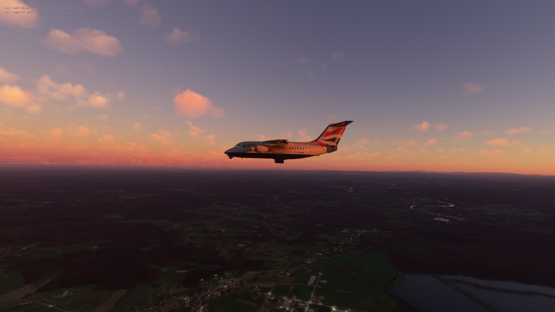
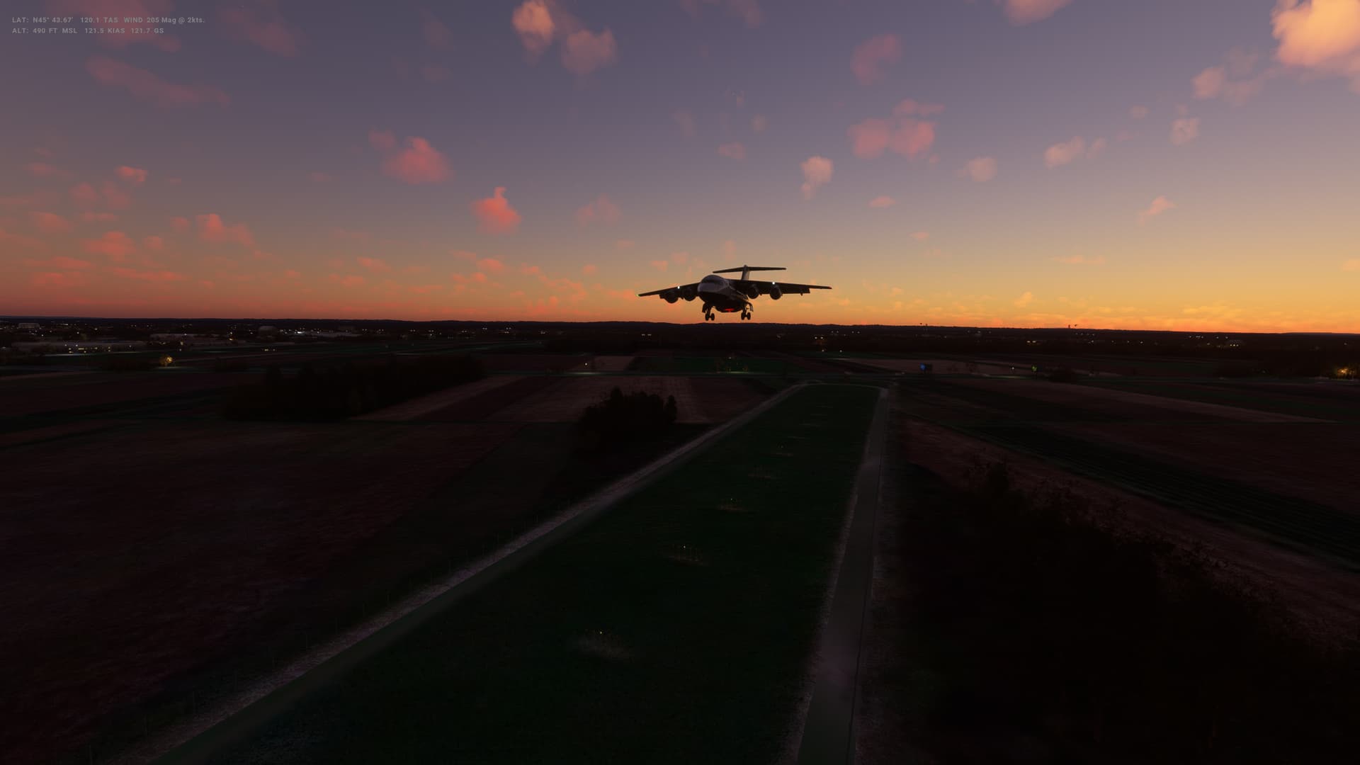
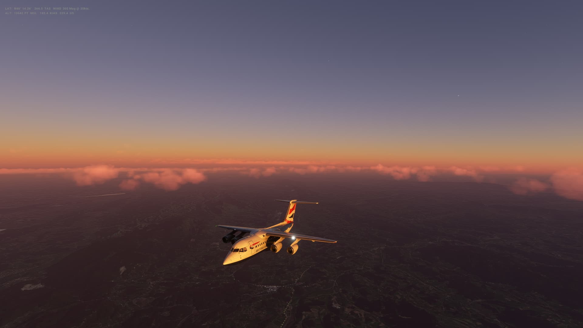
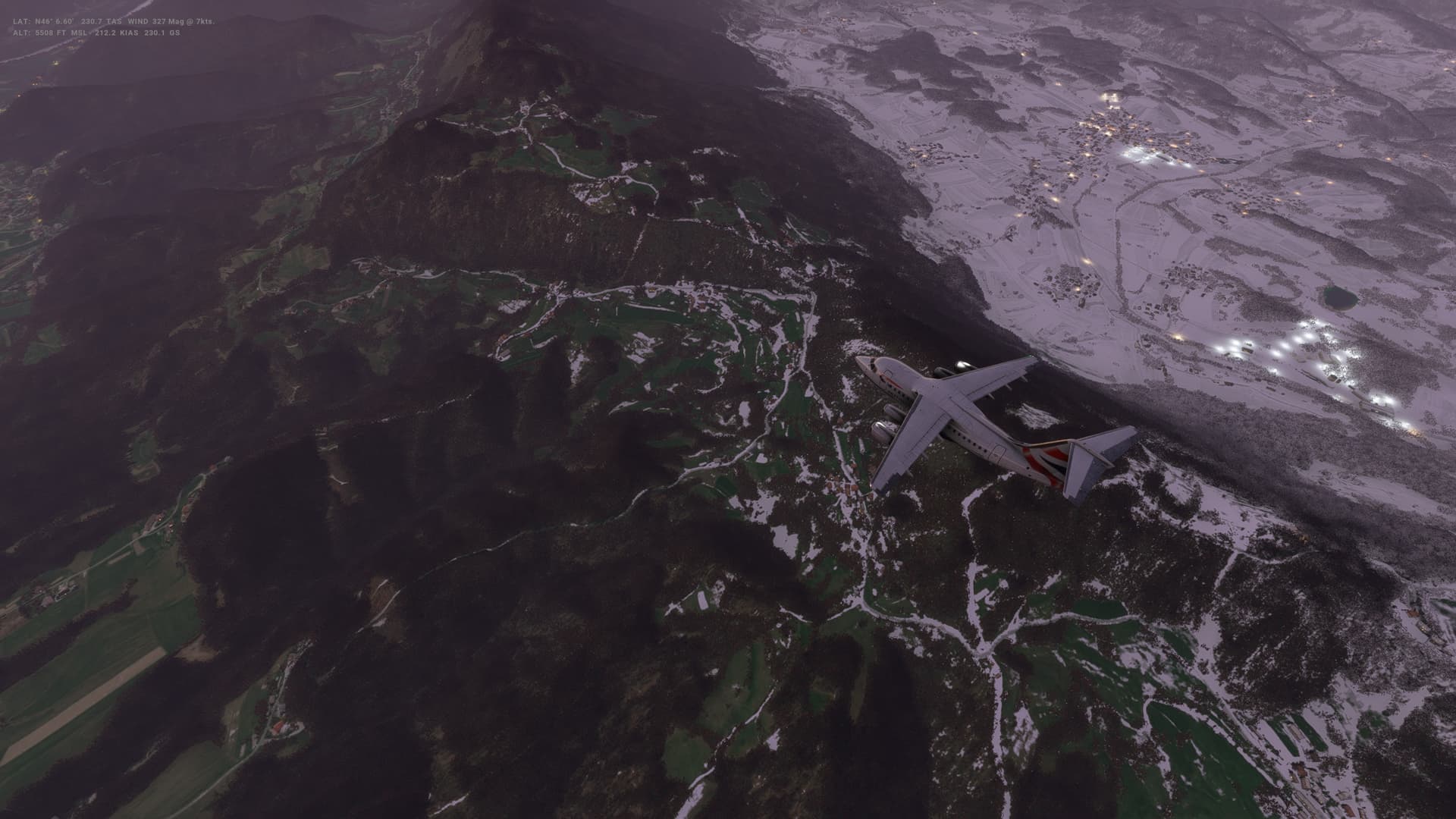
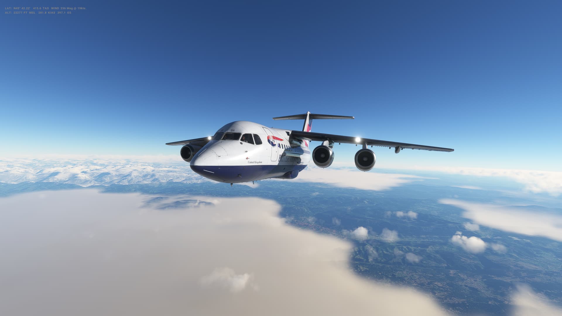
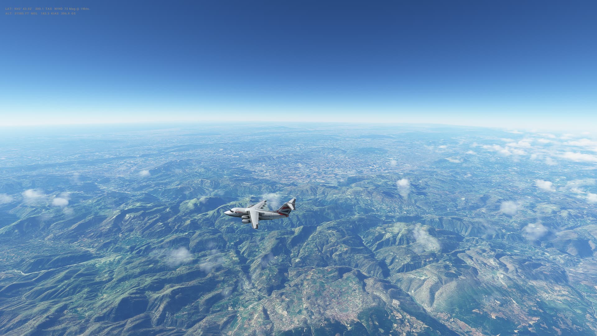
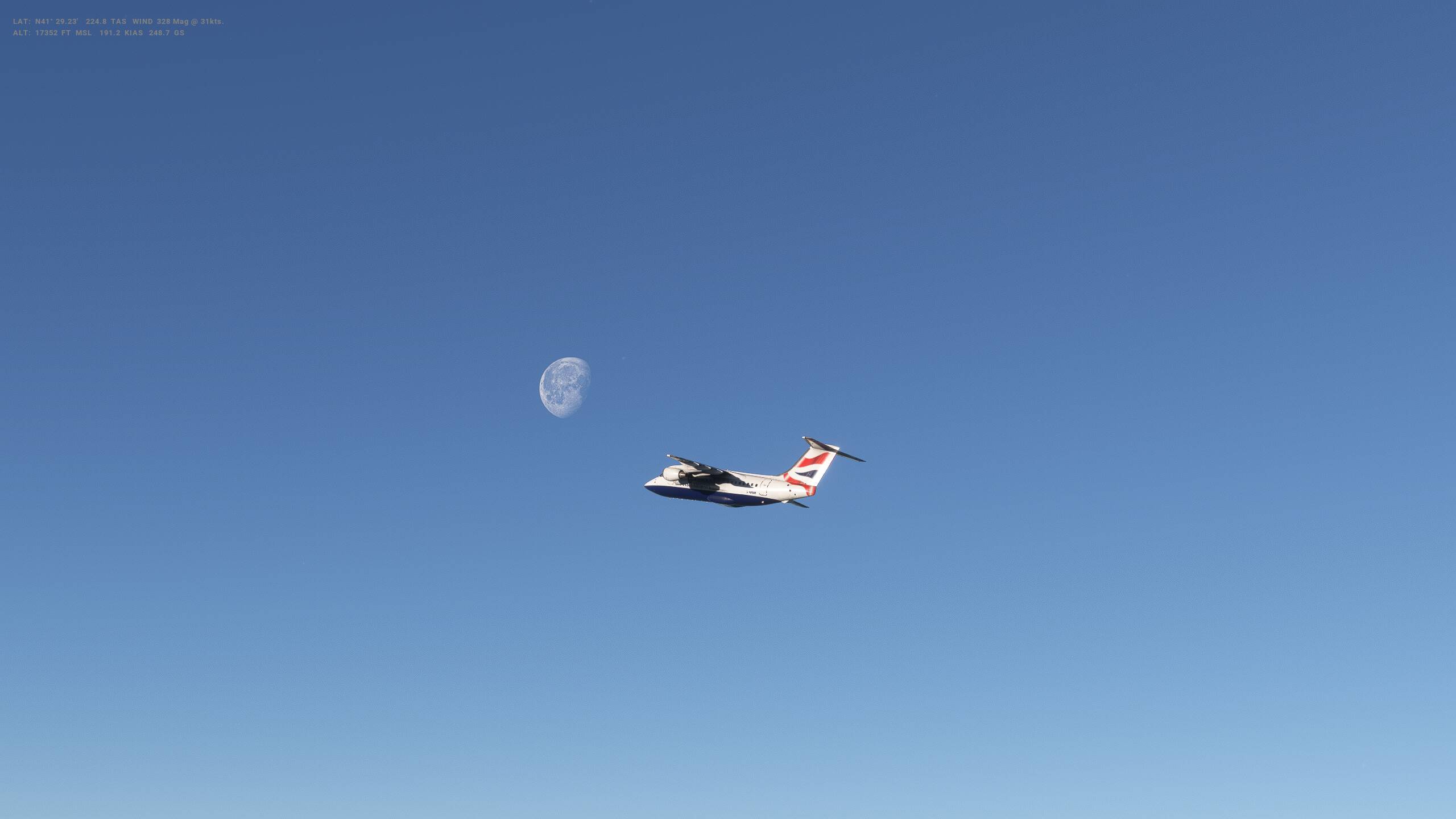
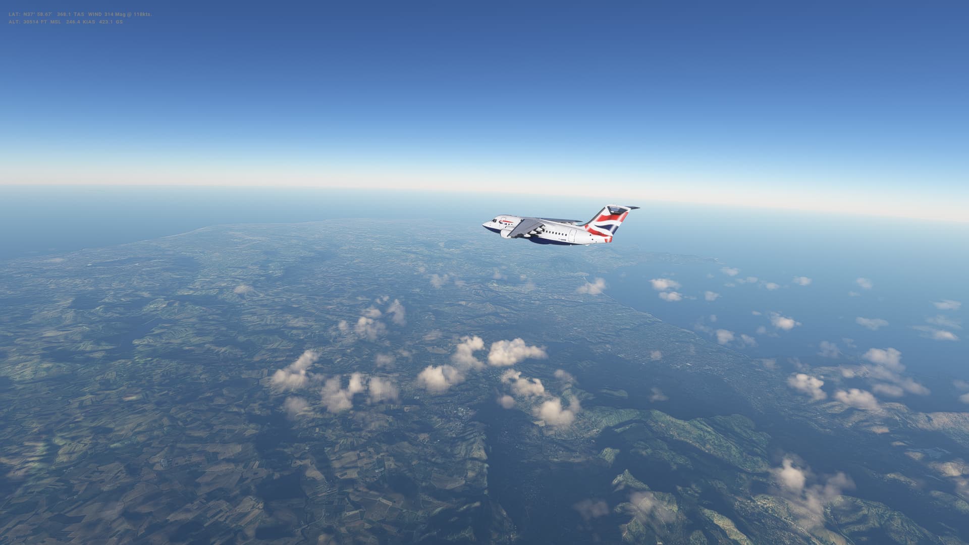
Leg 33: Vienna (LOWW), Austria to Zagreb (LDZA), Croatia
Summary
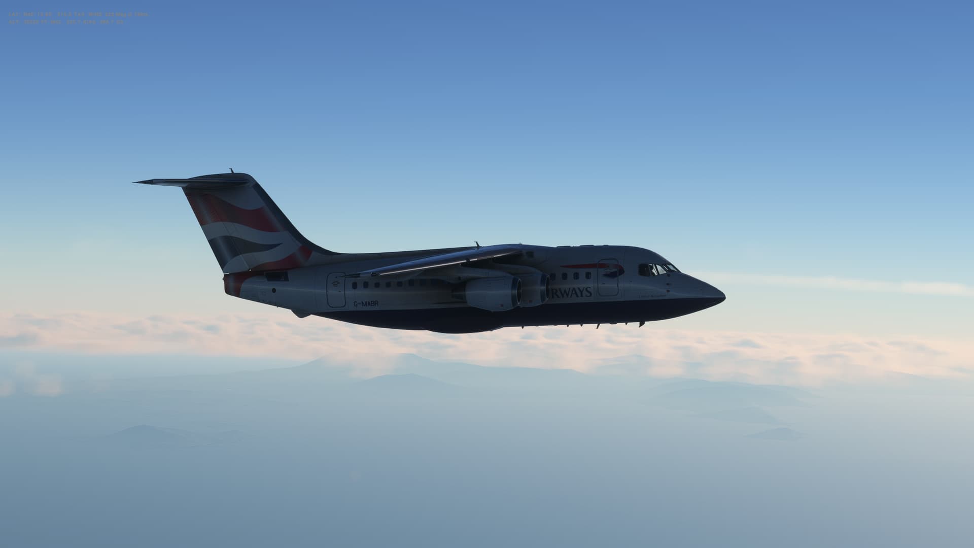
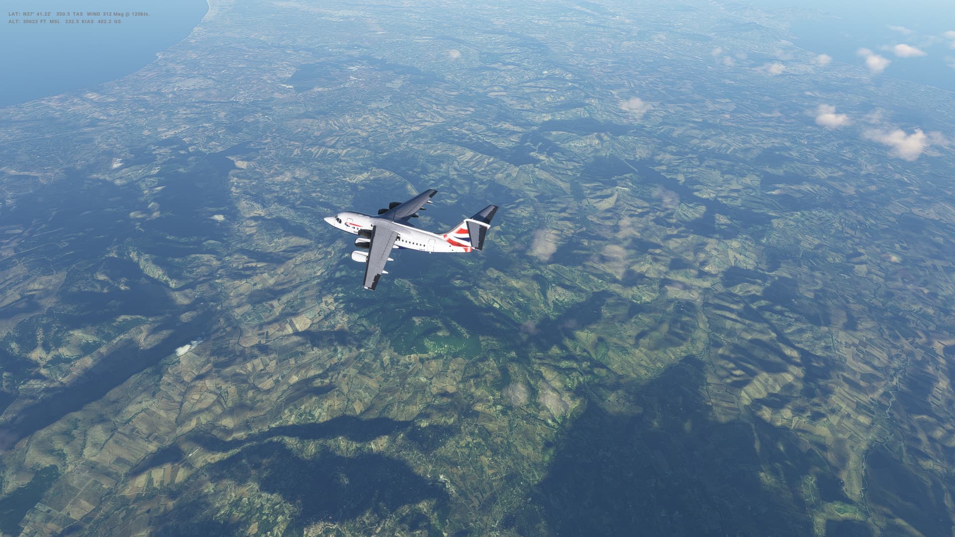
Ok, so the first of our 5 flights in the BAe 146 Professional - in this case, the smallest -100 variant. Had a couple of practice flights, and finding this much more of a handful than the 737 or the A320. Needs a lot of monitoring - and it is taking me a bit of time to get used to not having an autothrottle.
This trip was going well but I was always quite high and it took som efairly swift decending to get into position for the approach. I ended up too slow on approach and dropped quite low, over corrected and managed a big bounce on the landing. It’s a learning experience!
Fun to fly though, and very different to the 737.
Croatia
-
Capital: Zagreb
-
Area: 56,594 sq km
-
Population: 3.8 million
-
Language: Croatian
-
Life expectancy: 74 years (men) 80 years (women)
Logbook
| This Leg |
Leg |
|
|
33 |
|
Date |
|
|
11/02/2023 |
|
Departure Airport |
ICAO |
|
LOWW |
|
|
Airport |
|
Vienna International Airport |
|
|
Capital City |
|
Vienna |
|
|
Country |
|
Austria |
|
|
Runway |
|
34 |
|
Arrival Airport |
ICAO |
|
LDZA |
|
|
Airport |
|
Franjo Tudman Airport |
|
|
Capital City |
|
Zagreb |
|
|
Country |
|
Croatia |
|
|
Runway |
|
4 |
|
Actual Time (Local) |
Pushback Time |
|
16:30 |
|
|
Take Off Time |
|
16:50 |
|
|
Touchdown Time |
|
17:33 |
|
|
Arrival Time |
|
17:37 |
|
|
Air time |
|
00:43 |
|
|
Total Time |
|
01:07 |
|
Ground Distance (Nm) |
|
|
212 |
|
Air Distance (Nm) |
|
|
195 |
|
Great Circle Distance (Nm) |
|
|
144 |
|
Fuel Start (Kgs) |
|
|
4,440 |
|
Fuel End (Kgs) |
|
|
2,298 |
|
Fuel Used (Kgs) |
|
|
2,142 |
|
SID |
|
|
EMKOG3D |
|
Route |
|
|
LOWW/34 EMKOG3D STEIN DCT NOHAT DCT NEKIN NEKIN1Z LDZA/04 |
|
STAR |
|
|
NEKIN1Z |
|
Approach |
|
|
ILZ Z 4 |
|
Passengers |
|
|
70 |
|
Cargo (000 Kgs) |
|
|
6,200 |
|
Take Off Weight (000 Kgs) |
|
|
34.2 |
|
Cruising Altitude (feet) |
|
|
27,000 |
| Cumulative |
Ground Distance (Nm) |
|
|
10,014 |
|
Air Distance (Nm) |
|
|
9,951 |
|
Great Circle Distance (Nm) |
|
|
7,813 |
|
Total air time |
|
|
15:29 |
|
Total time |
|
|
01:23:05 |
|
Fuel Used (Kgs) |
|
|
82,420 |
Flightplan:
IFR Schwechat (LOWW) to Pleso (LDZA).lnmpln (1.5 KB)
Timelapse Video
Screenshots
Take Off
Cruise
Landing
Overall route so far
UTDD UTTT UCFM UACC UTAA OIII UBBB UGTB UDYZ ORBI OKBK OBBI OOMS OMAA OTHH OERK OJAI LLBG OSDI OLBA LCEN LTAC LRBS LBSF LWSK BKPR LATI LYPG LQSA LYBE LHBP LZIB LOWW LDZA
1 Like
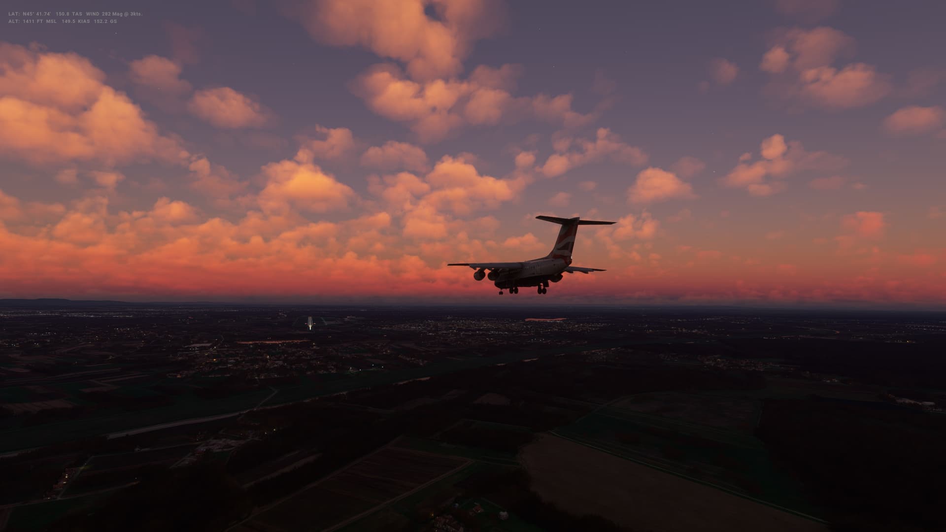
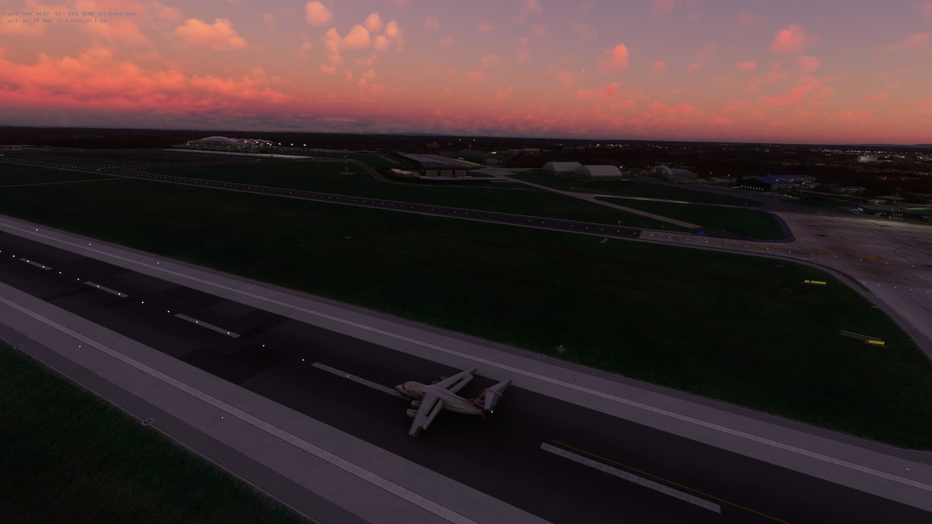
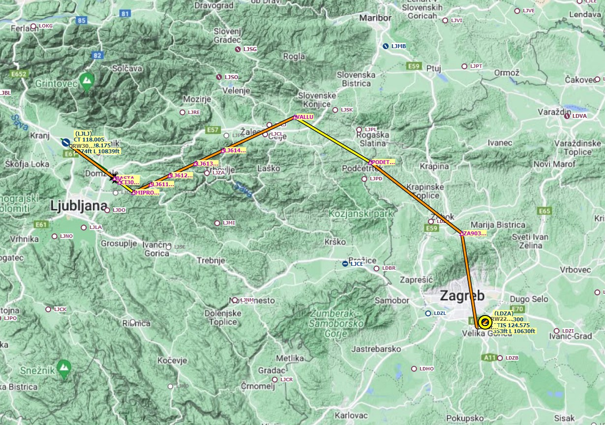
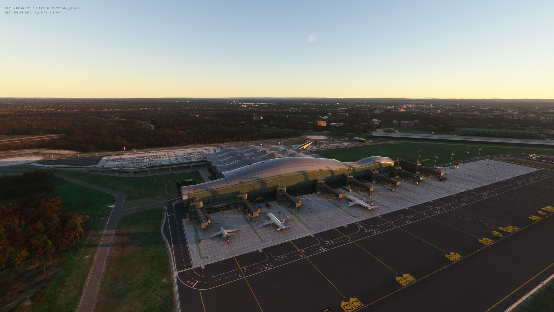
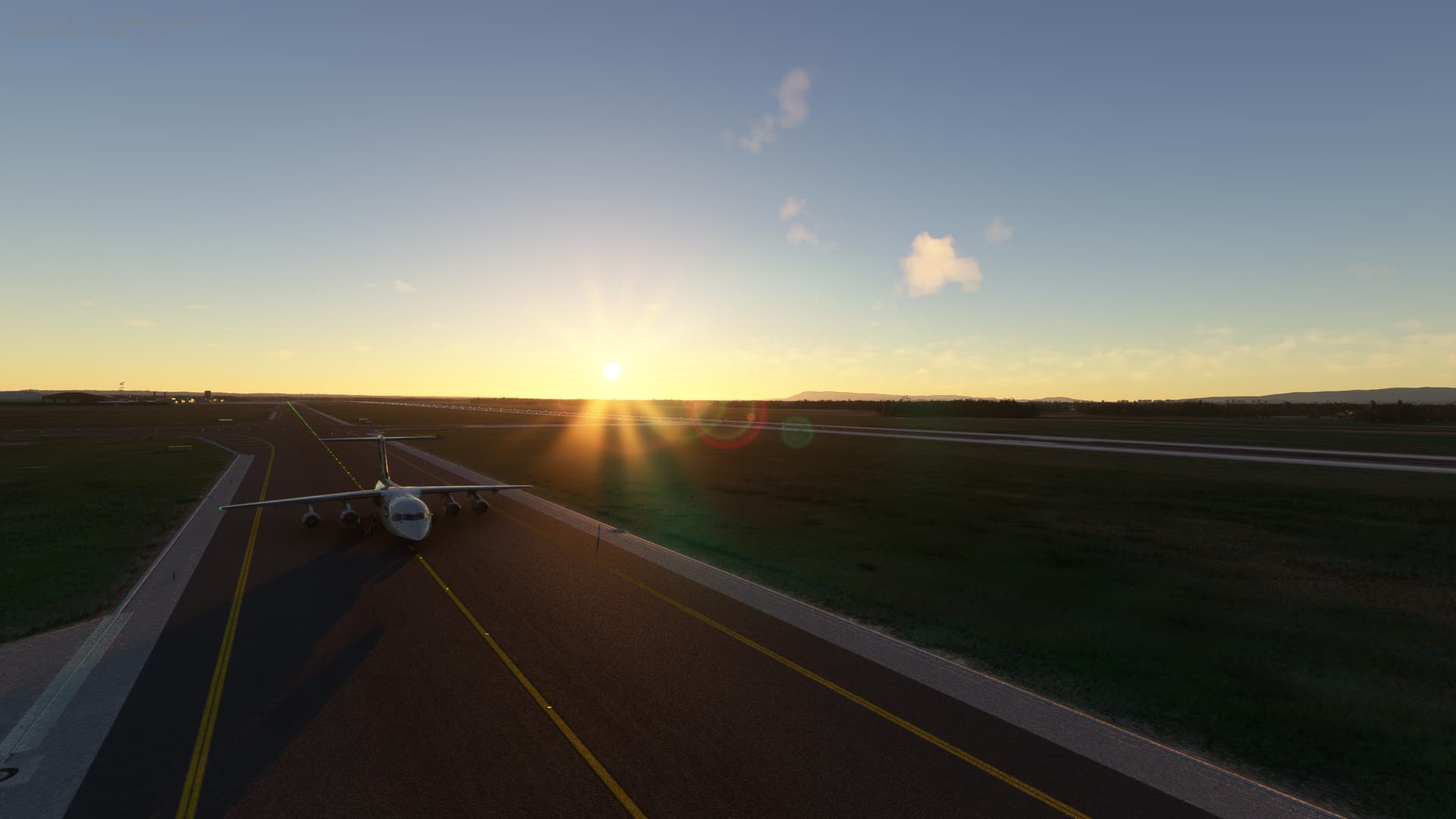
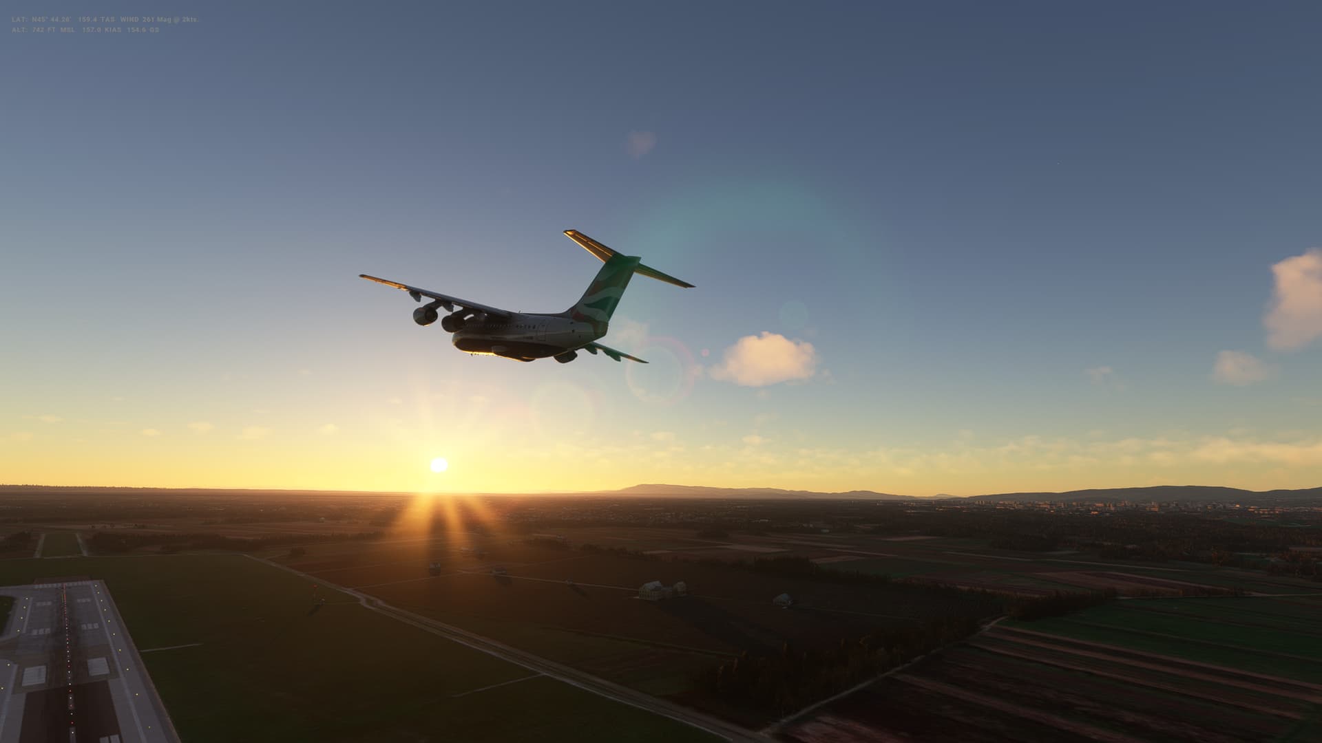
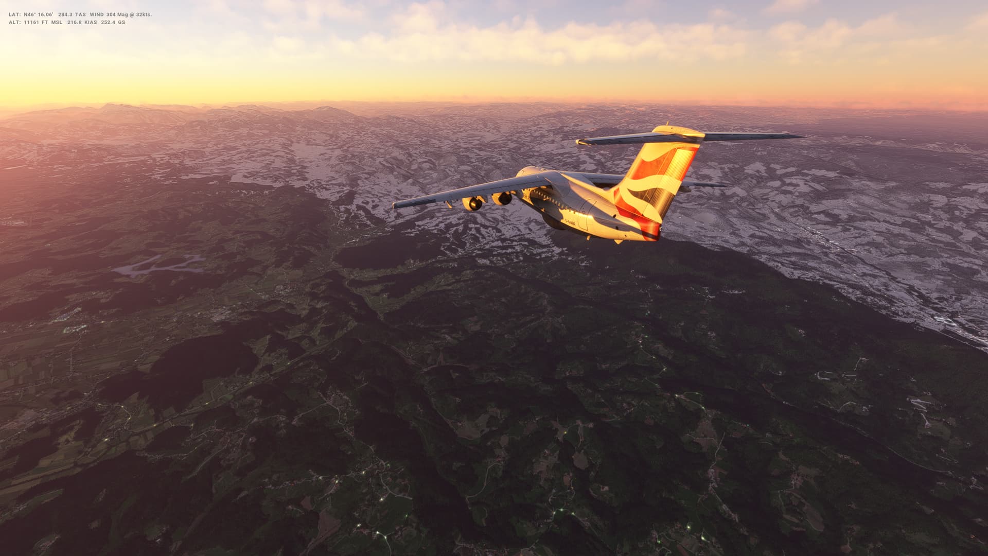
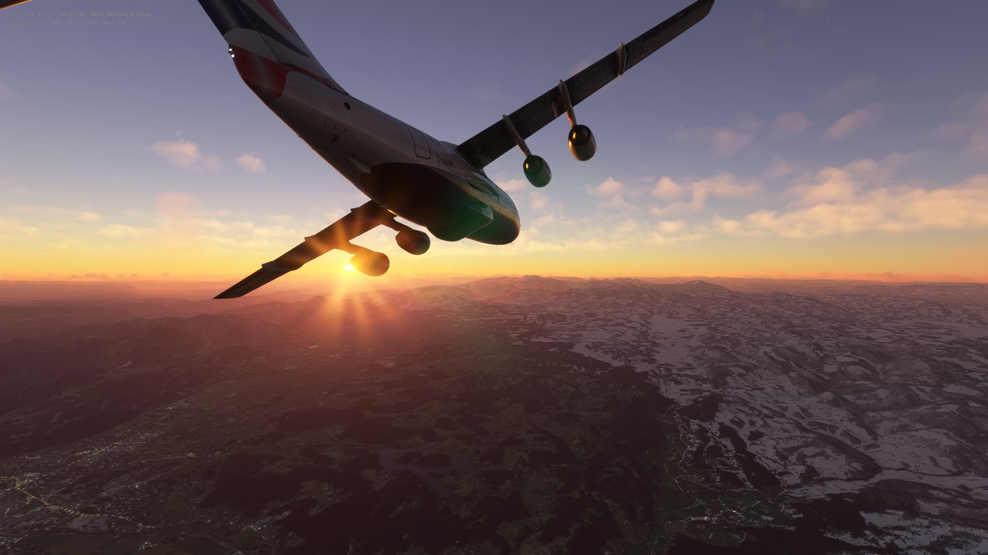
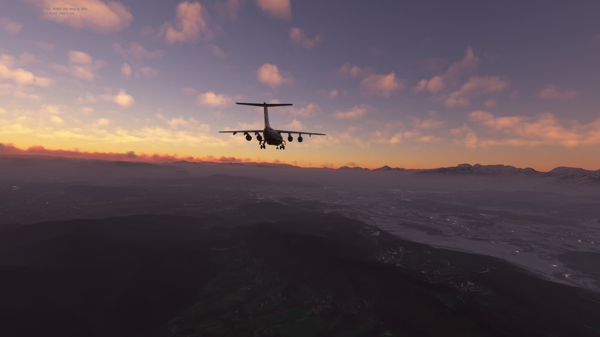
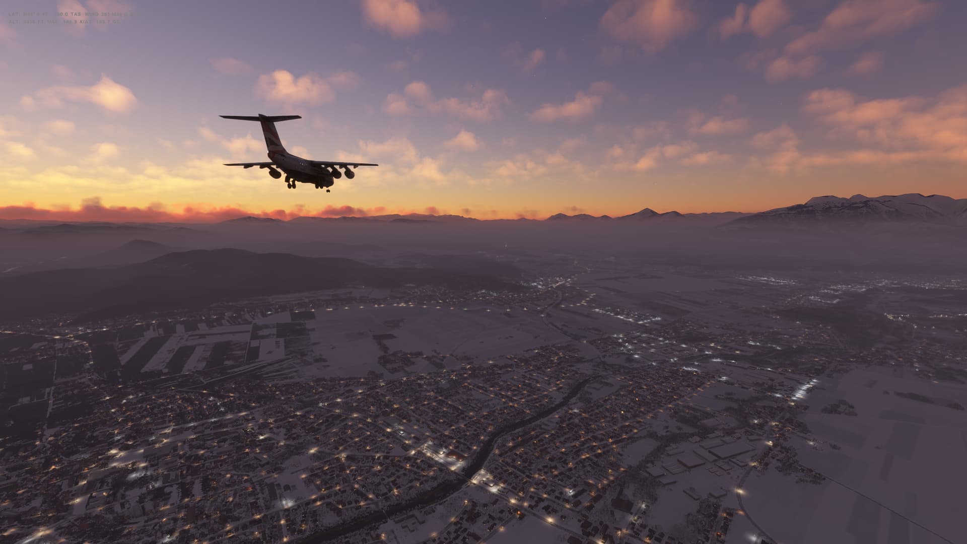
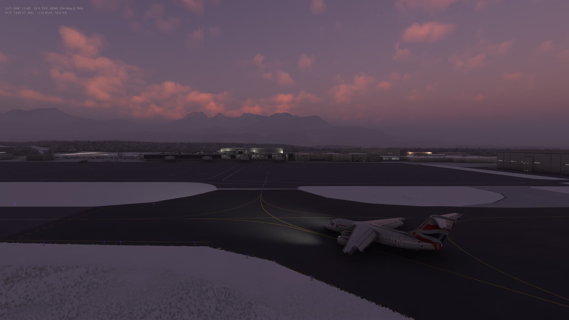
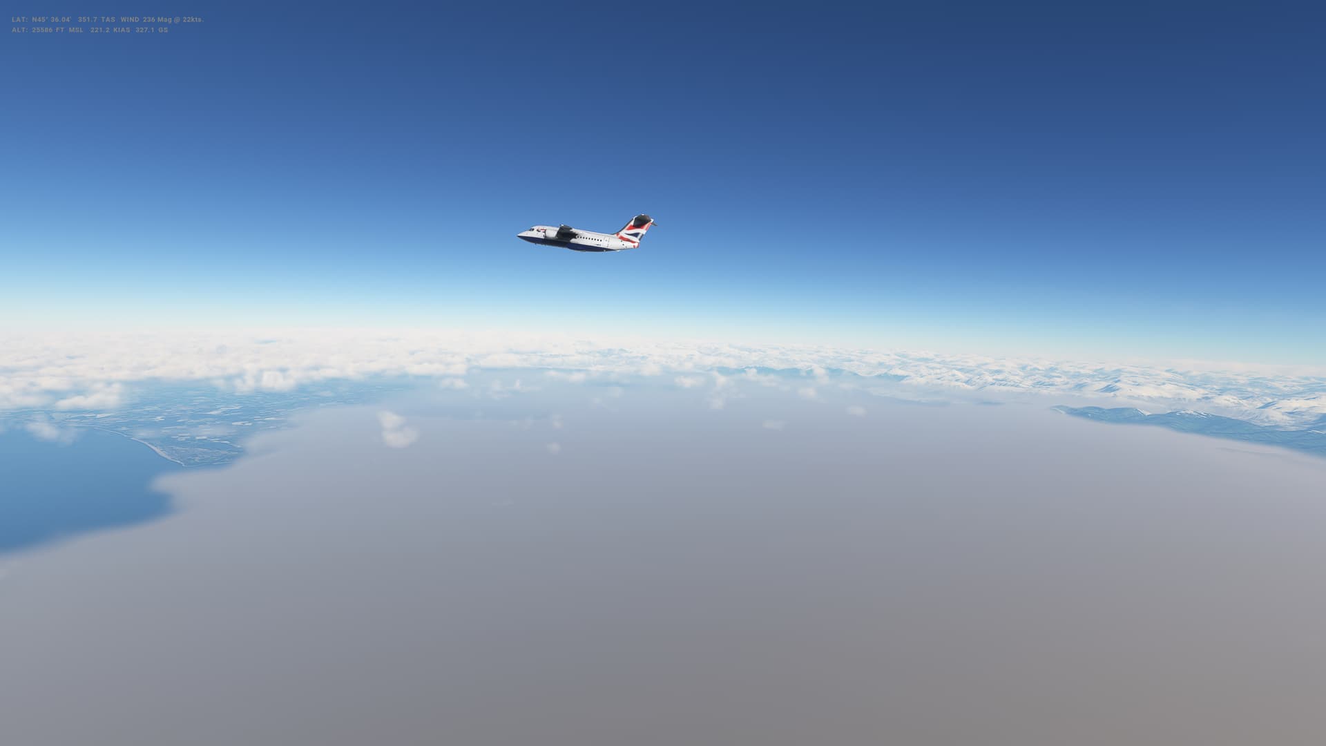
Leg 34: Zagreb (LDZA), Croatia to Ljubljana (LJLJ), Slovenia
Summary
Flight number 2 with the BAe146-100 - and this one a little smoother than the first. All going without a hitch until, in the last 200-300 feet I got too slow and ended up pretty pitched up on landing. I think I avoided a tail strike, but it seemed pretty close. I think I’m starting to get the hang of controlling speed in the cruise and descent though - just need to keep more of an eye on the throttles as I put out the flaps.
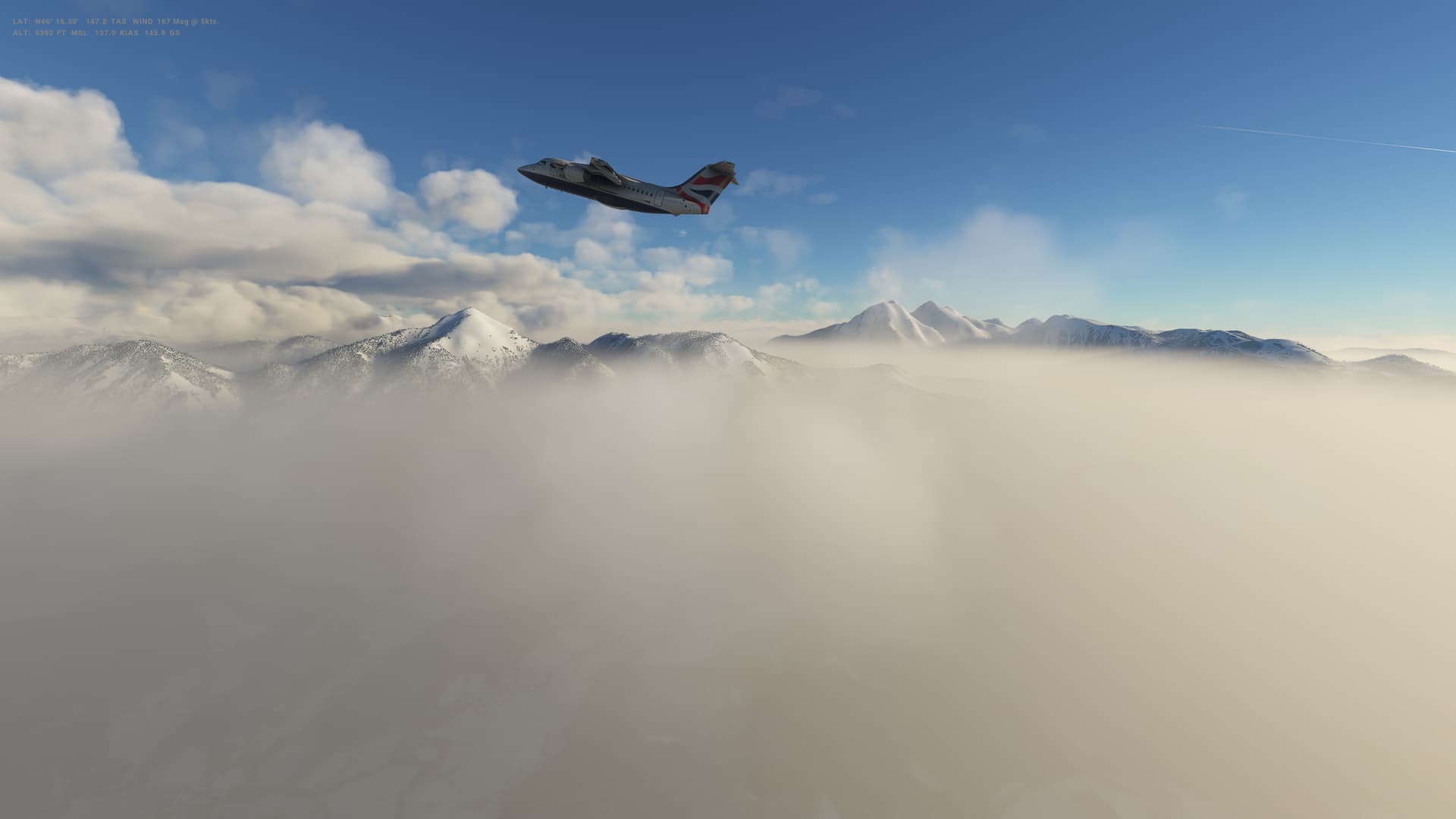
Weather was clear and smooth the whole way (not that it was a long flight), a few scattered clouds and very little wind. Some snow in Slovenia though and a snowy airport for landing. Some stunning scenery on this flights too.
Slovenia
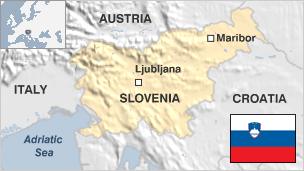
-
Capital: Ljubljana
-
Area: 78,871 sq km
-
Population: 2.1 million
-
Languages: Slovene, Italian , Hungarian
-
Life expectancy: 77 years (men) 83 years (women)
Logbook
| This Leg |
Leg |
|
|
34 |
|
Date |
|
|
19/02/2023 |
|
Departure Airport |
ICAO |
|
LDZA |
|
|
Airport |
|
Franjo Tudman Airport |
|
|
Capital City |
|
Zagreb |
|
|
Country |
|
Croatia |
|
|
Runway |
|
22 |
|
Arrival Airport |
ICAO |
|
LJLJ |
|
|
Airport |
|
Ljubljana Joze Pucnik Airport |
|
|
Capital City |
|
Ljubljana |
|
|
Country |
|
Slovenia |
|
|
Runway |
|
30 |
|
Actual Time (Local) |
Pushback Time |
|
16:35 |
|
|
Take Off Time |
|
16:44 |
|
|
Touchdown Time |
|
17:16 |
|
|
Arrival Time |
|
17:18 |
|
|
Air time |
|
00:32 |
|
|
Total Time |
|
00:43 |
|
Ground Distance (Nm) |
|
|
106 |
|
Air Distance (Nm) |
|
|
119 |
|
Great Circle Distance (Nm) |
|
|
73 |
|
Fuel Start (Kgs) |
|
|
3,466 |
|
Fuel End (Kgs) |
|
|
1,577 |
|
Fuel Used (Kgs) |
|
|
1,889 |
|
SID |
|
|
PODET1T |
|
Route |
|
|
LDZA/22 PODET1T PODET DCT VALLU VALLU1R LJLJ/30 |
|
STAR |
|
|
VALLU1R |
|
Approach |
|
|
ILS 30 |
|
Passengers |
|
|
80 |
|
Cargo (000 Kgs) |
|
|
2,300 |
|
Take Off Weight (000 Kgs) |
|
|
35.5 |
|
Cruising Altitude (feet) |
|
|
14,000 |
| Cumulative |
Ground Distance (Nm) |
|
|
10,120 |
|
Air Distance (Nm) |
|
|
10,070 |
|
Great Circle Distance (Nm) |
|
|
7,886 |
|
Total air time |
|
|
16:01 |
|
Total time |
|
|
01:23:48 |
|
Fuel Used (Kgs) |
|
|
84,309 |
Flightplan:
IFR (LDZA) to (LJLJ).lnmpln (1.4 KB)
Timelapse Video
Screenshots
Take Off
Cruise
Landing
Overall route so far
UTDD UTTT UCFM UACC UTAA OIII UBBB UGTB UDYZ ORBI OKBK OBBI OOMS OMAA OTHH OERK OJAI LLBG OSDI OLBA LCEN LTAC LRBS LBSF LWSK BKPR LATI LYPG LQSA LYBE LHBP LZIB LOWW LDZA LJLJ
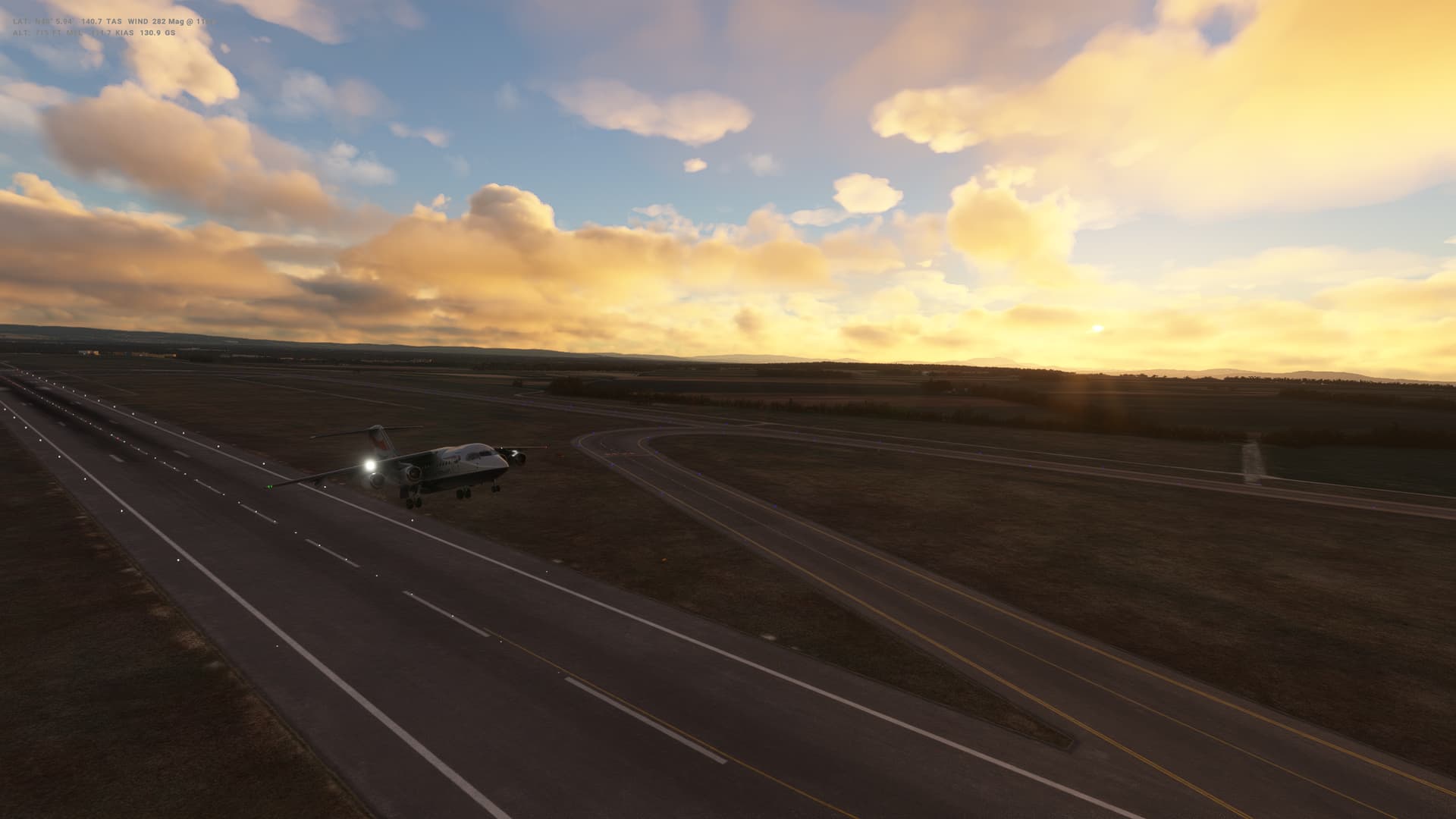
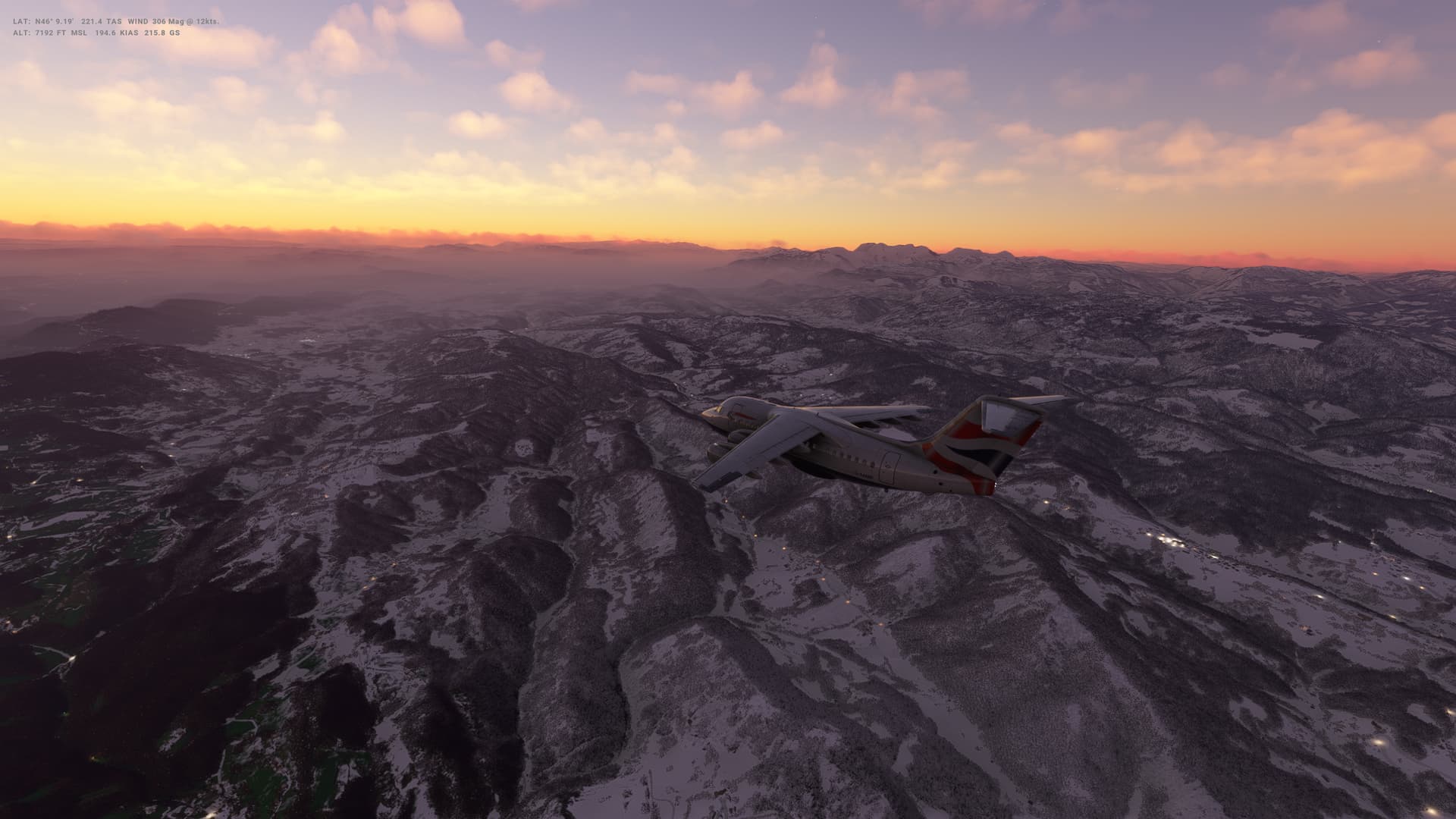
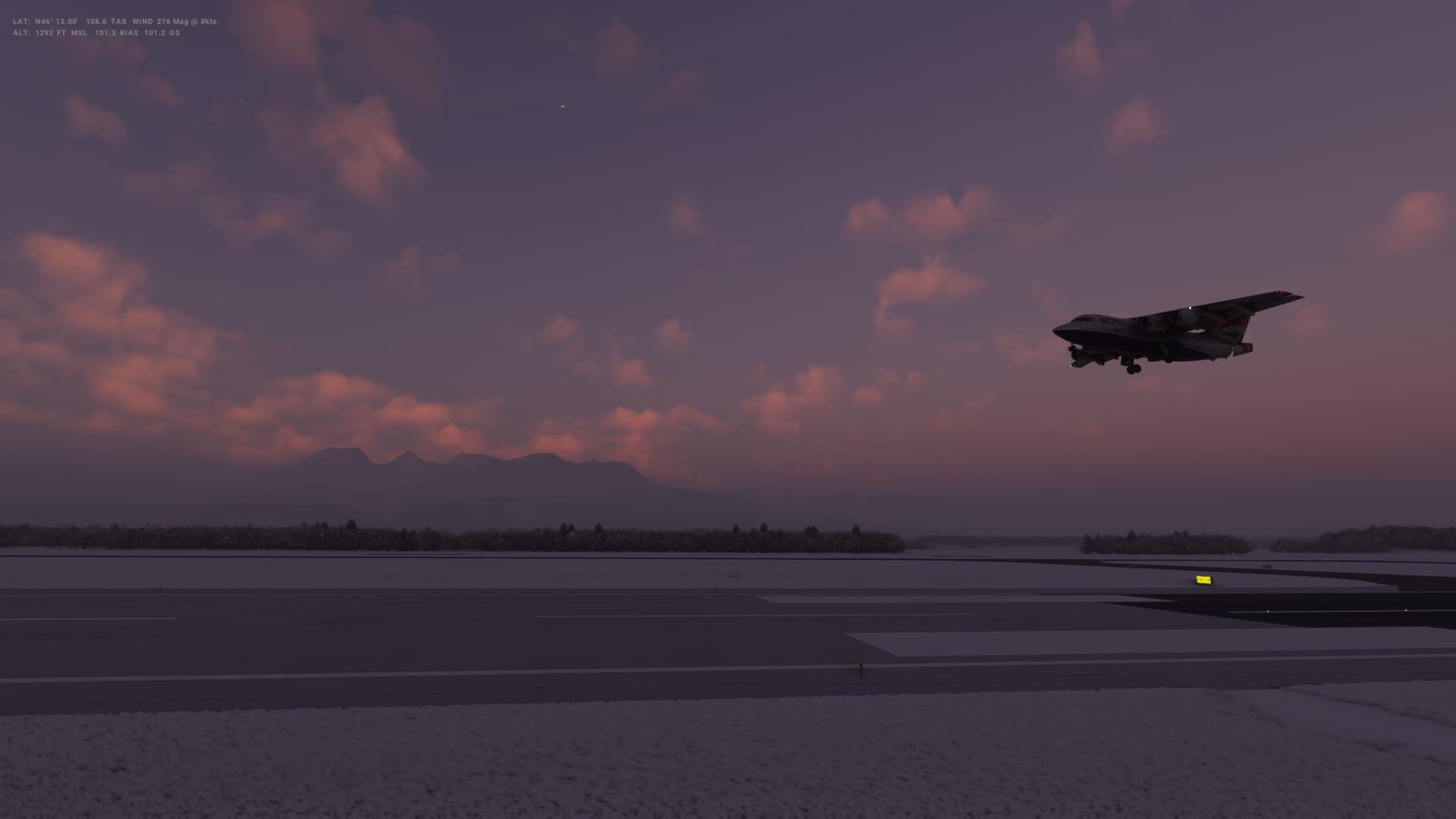
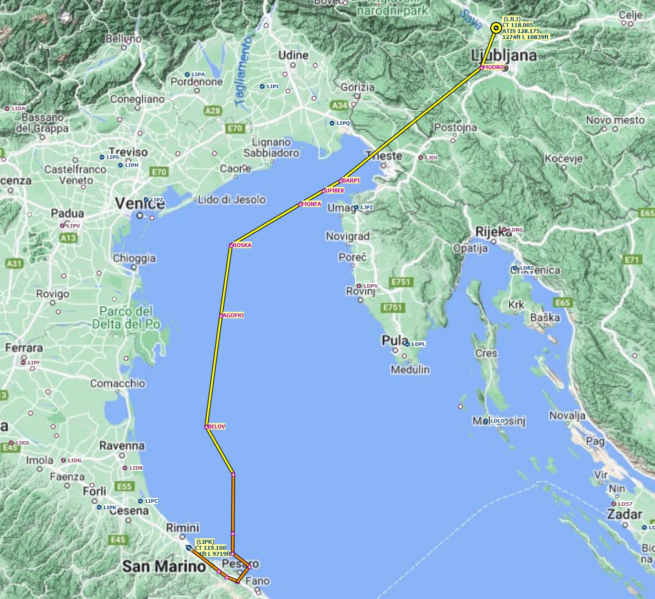
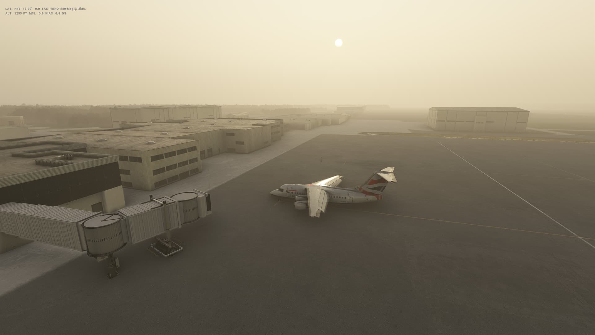
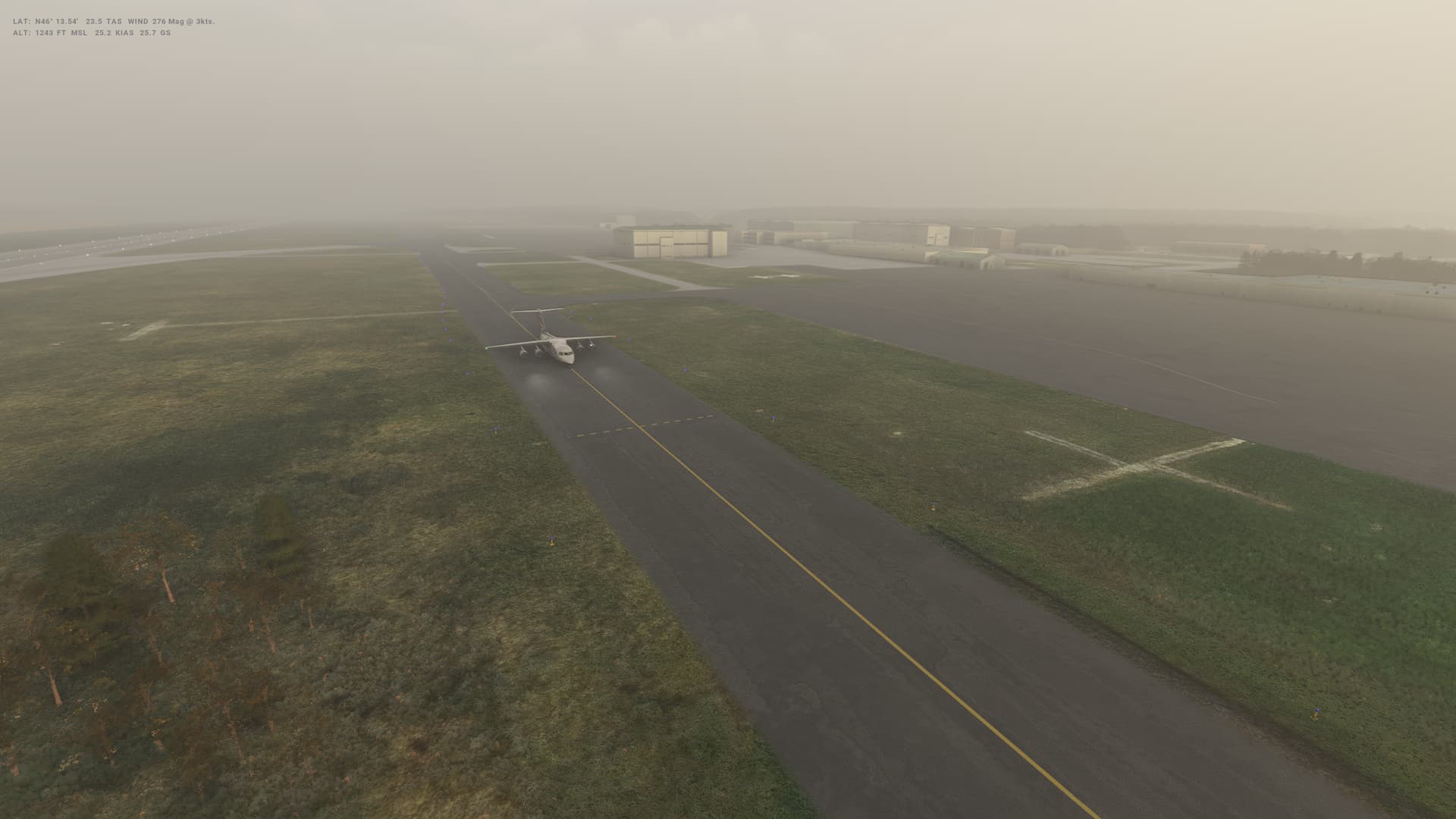
Leg 35: Ljubljana (LJLJ), Slovenia to San Marino (LIPR), San Marino
Summary
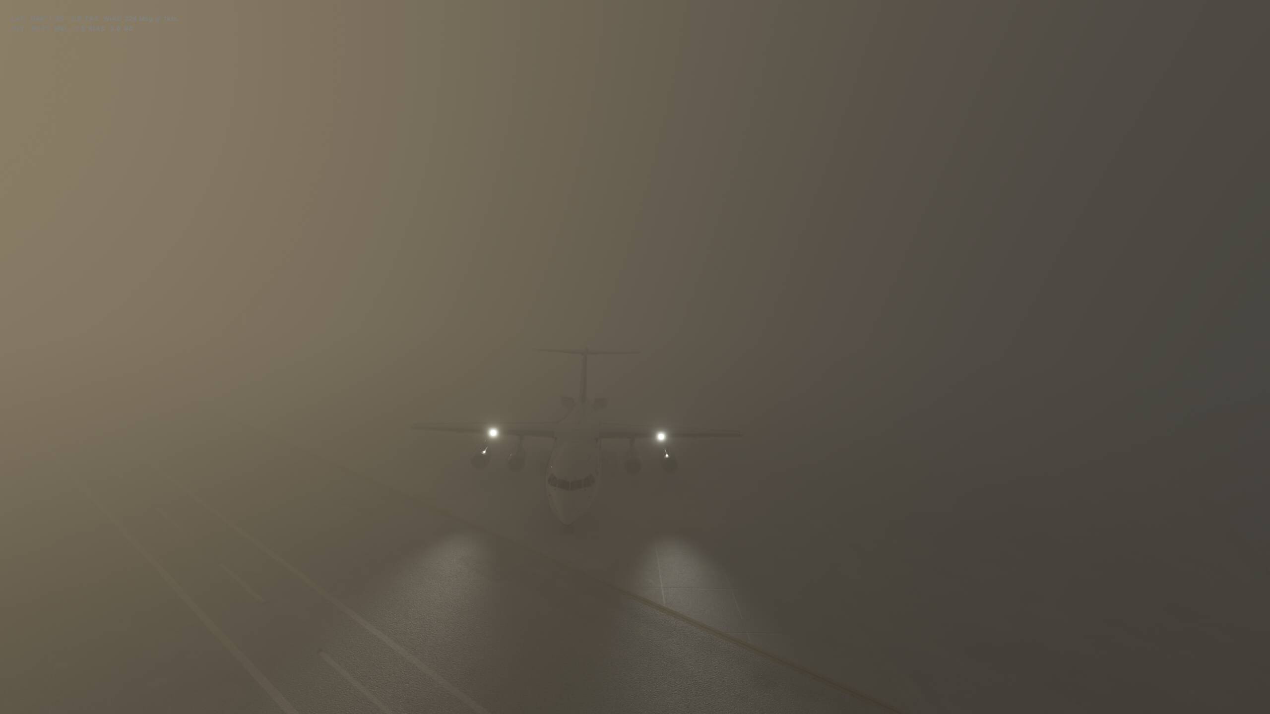
Well this should have been a nice, straightforward flight South West over the Adriatic. However, the thickest and densest fog I’ve ever seen in the sim was sitting right on top of San Marino airport. Like a fool, I pressed on, evene when I couldn’t see the runway at decision altitude with disasterous consequences. I got it on the ground, but with a big bounce and pretty sure a wingtip hit first. Not great.
Other than the landing, the flight was awesome!
San Marino
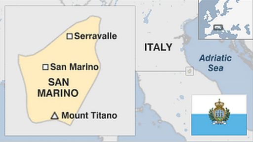
-
Capital: San Marino
-
Area: 61.2 sq km
-
Population: 33,600
-
Languages: Italian, also Romangnol
-
Life expectancy: 85 years (men) 89 years (women)
Logbook
| This Leg |
Leg |
|
|
35 |
|
Date |
|
|
23/02/2023 |
|
Departure Airport |
ICAO |
|
LJLJ |
|
|
Airport |
|
Ljubljana Joze Pucnik Airport |
|
|
Capital City |
|
Ljubljana |
|
|
Country |
|
Slovenia |
|
|
Runway |
|
30 |
|
Arrival Airport |
ICAO |
|
LIPR |
|
|
Airport |
|
Federico Fellini International Airport (nearest) |
|
|
Capital City |
|
San Marino |
|
|
Country |
|
San Marino |
|
|
Runway |
|
31 |
|
Actual Time (Local) |
Pushback Time |
|
06:40 |
|
|
Take Off Time |
|
06:51 |
|
|
Touchdown Time |
|
07:36 |
|
|
Arrival Time |
|
07:39 |
|
|
Air time |
|
00:45 |
|
|
Total Time |
|
00:59 |
|
Ground Distance (Nm) |
|
|
197 |
|
Air Distance (Nm) |
|
|
203 |
|
Great Circle Distance (Nm) |
|
|
154 |
|
Fuel Start (Kgs) |
|
|
4,054 |
|
Fuel End (Kgs) |
|
|
1,648 |
|
Fuel Used (Kgs) |
|
|
2,406 |
|
SID |
|
|
MODRO1Z |
|
Route |
|
|
LJLJ/30 MODRO1Z MODRO DCT BARPI M859 ROSKA T128 BELOV L612 AMLON
AMLON1E LIPR/31 |
|
STAR |
|
|
AMLON1E |
|
Approach |
|
|
ILS Z 31 |
|
Passengers |
|
|
80 |
|
Cargo (000 Kgs) |
|
|
2,300 |
|
Take Off Weight (000 Kgs) |
|
|
35.5 |
|
Cruising Altitude (feet) |
|
|
14,000 |
| Cumulative |
Ground Distance (Nm) |
|
|
10,317 |
|
Air Distance (Nm) |
|
|
10,273 |
|
Great Circle Distance (Nm) |
|
|
8,040 |
|
Total air time |
|
|
16:46 |
|
Total time |
|
|
02:00:47 |
|
Fuel Used (Kgs) |
|
|
86,715 |
Flightplan:
IFR (LJLJ) to (LIPR).lnmpln (3.1 KB)
Timelapse Video
Screenshots
Take Off
Cruise
Landing
Overall route so far
UTDD UTTT UCFM UACC UTAA OIII UBBB UGTB UDYZ ORBI OKBK OBBI OOMS OMAA OTHH OERK OJAI LLBG OSDI OLBA LCEN LTAC LRBS LBSF LWSK BKPR LATI LYPG LQSA LYBE LHBP LZIB LOWW LDZA LJLJ LIPR
1 Like
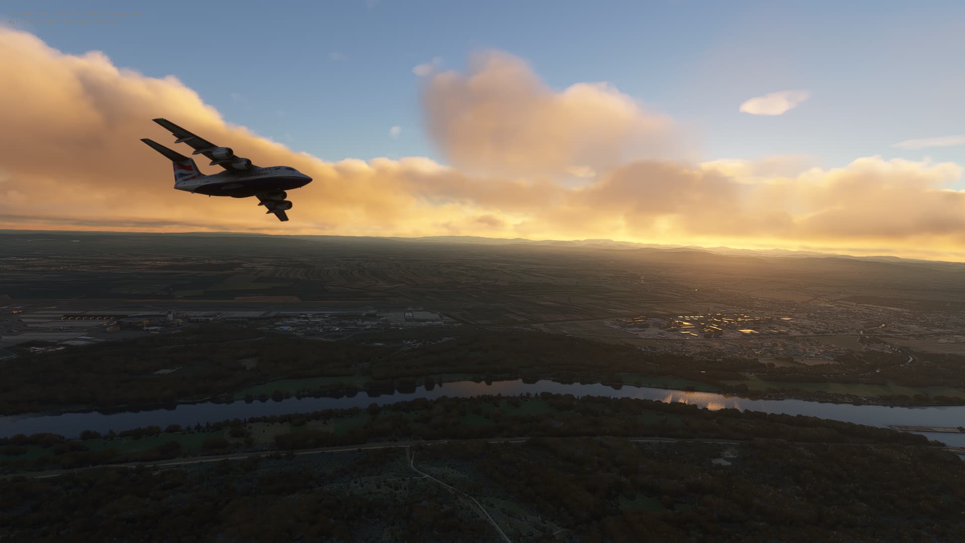
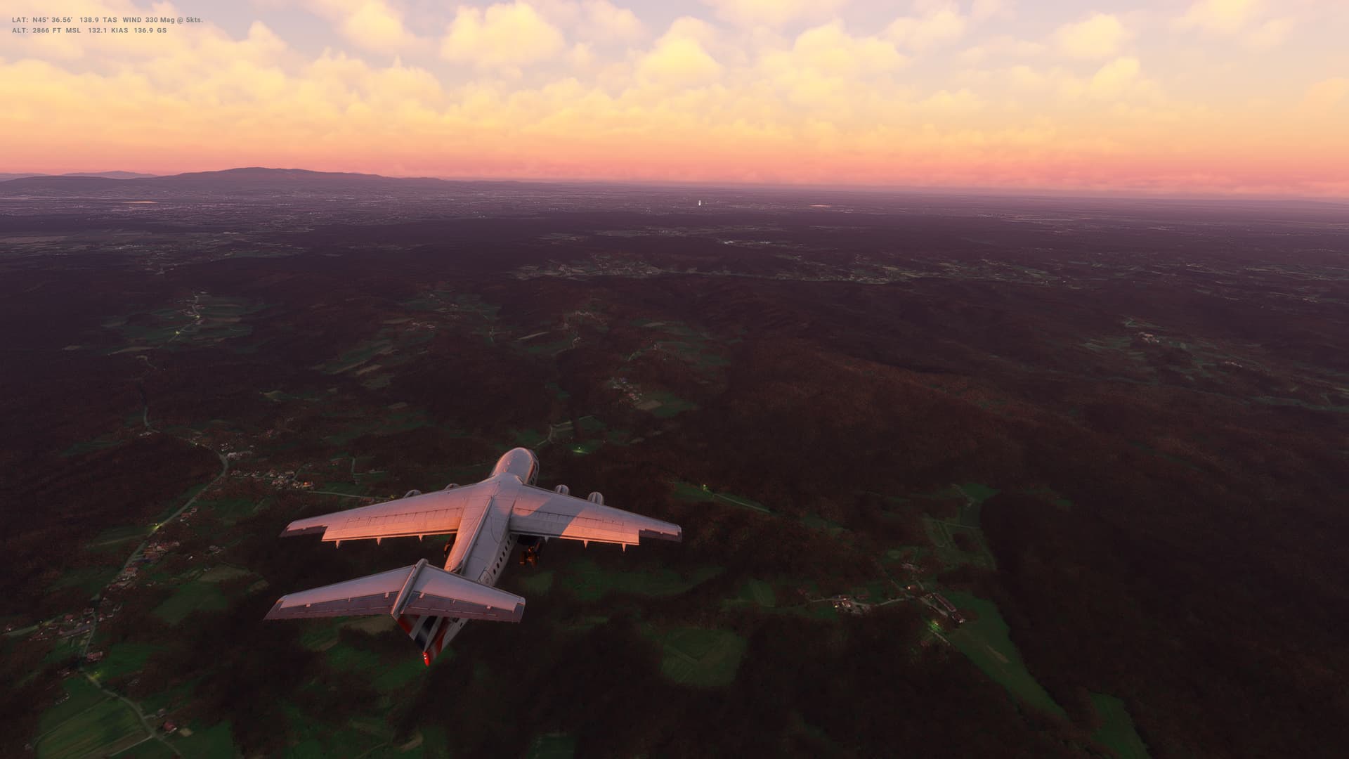
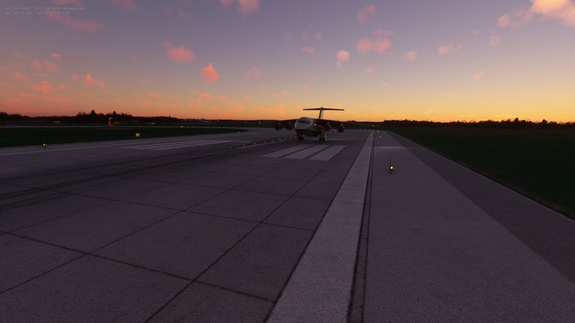
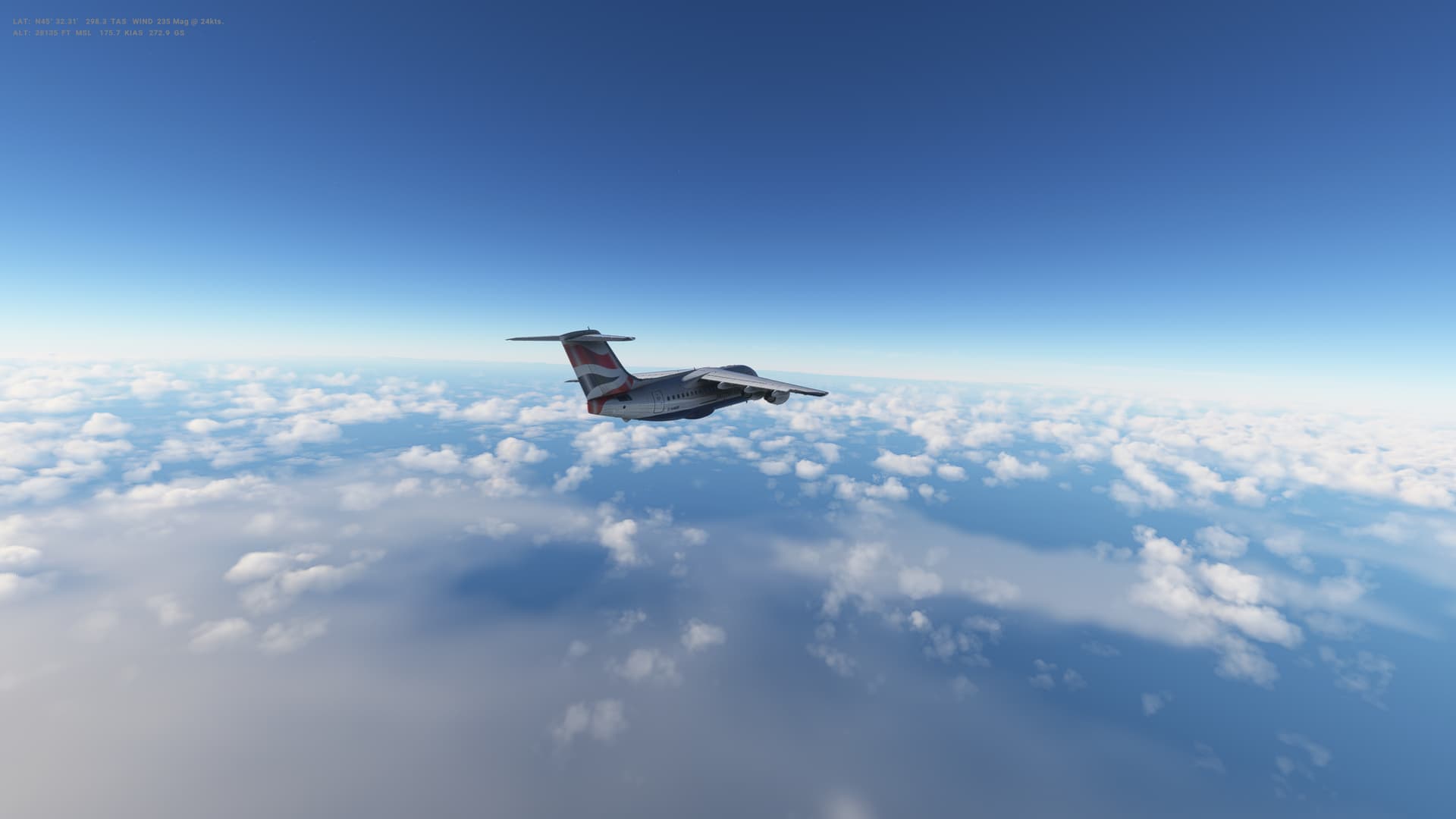
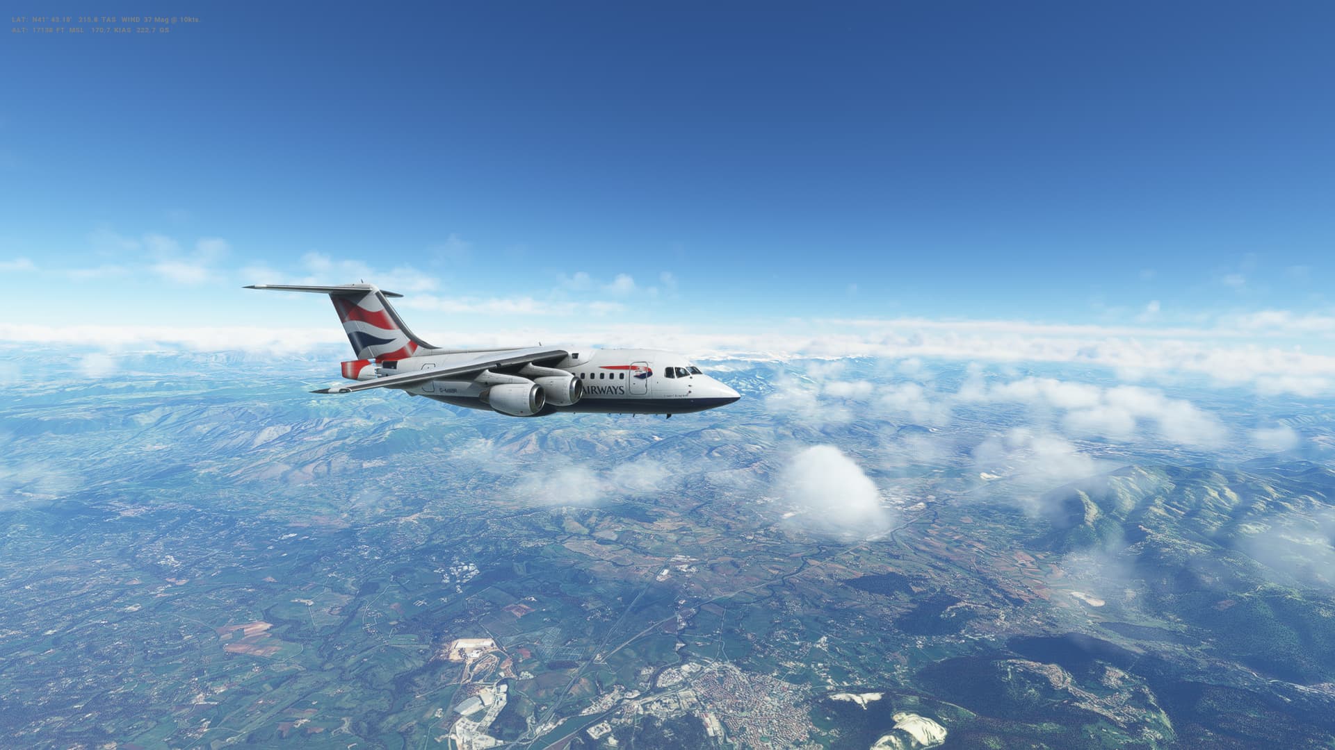
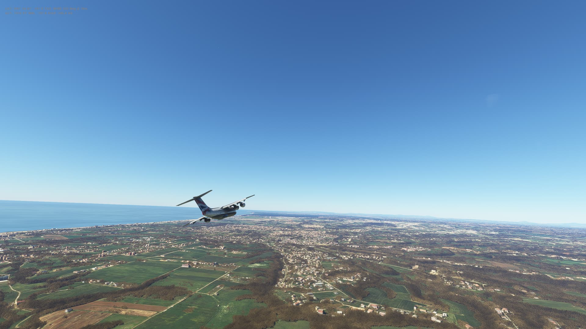
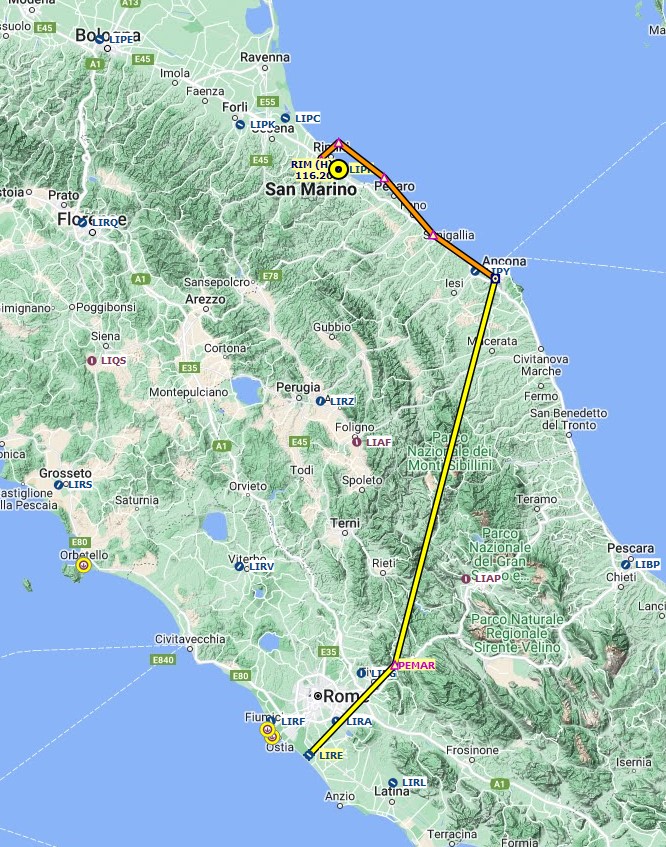
Leg 36: San Marino (LIPR), San Marino to Rome (LIRE), Italy
Summary
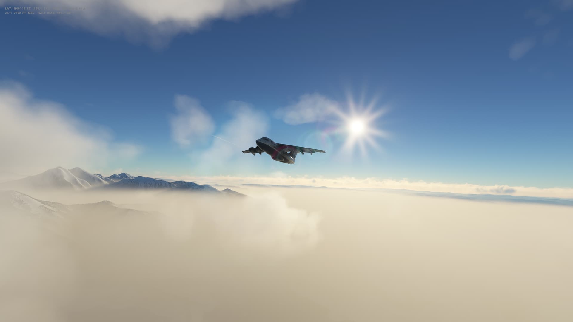
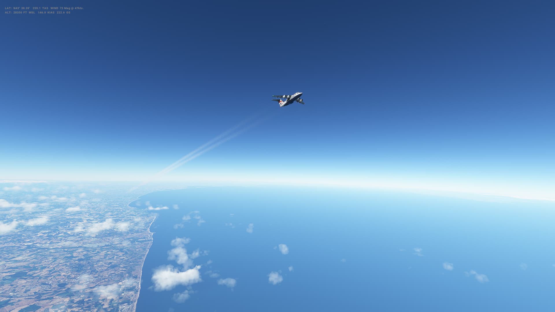
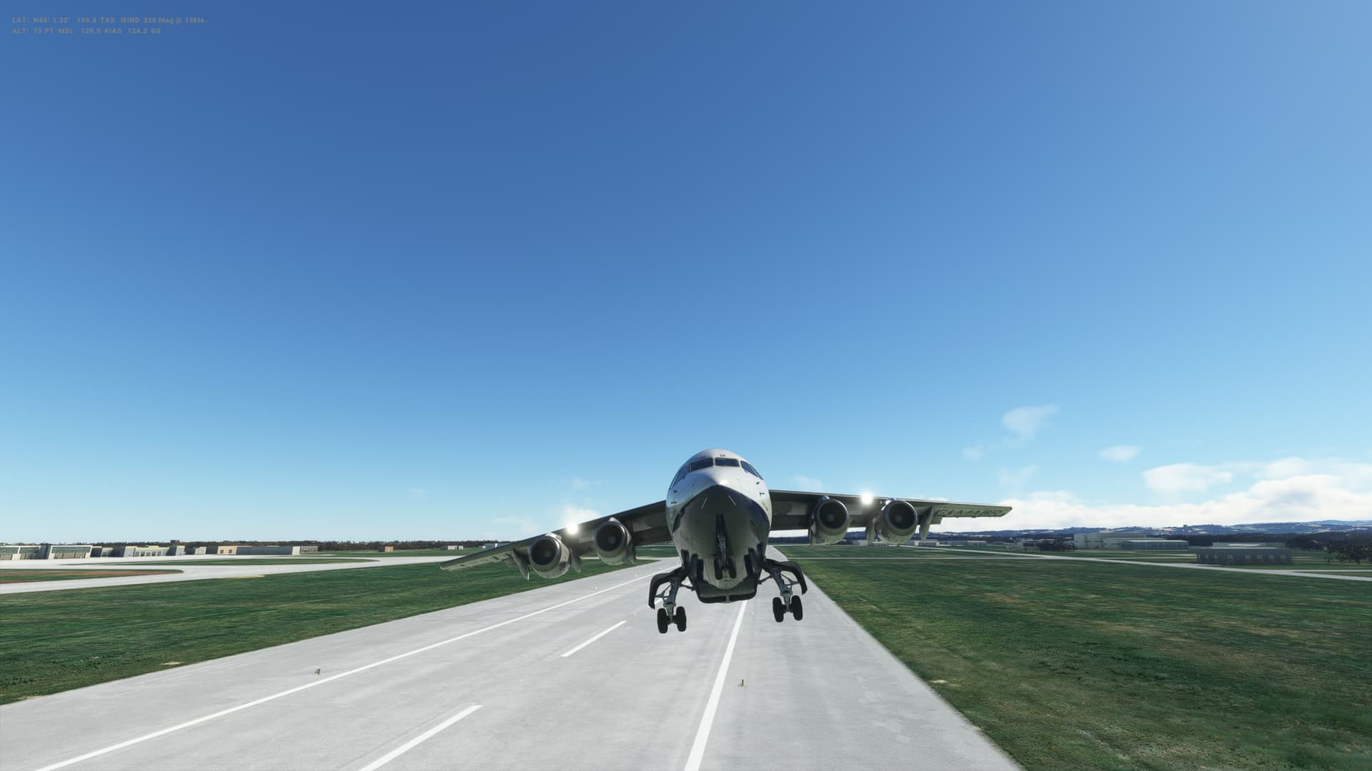
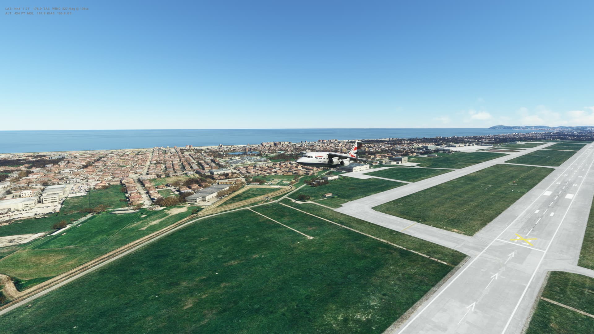
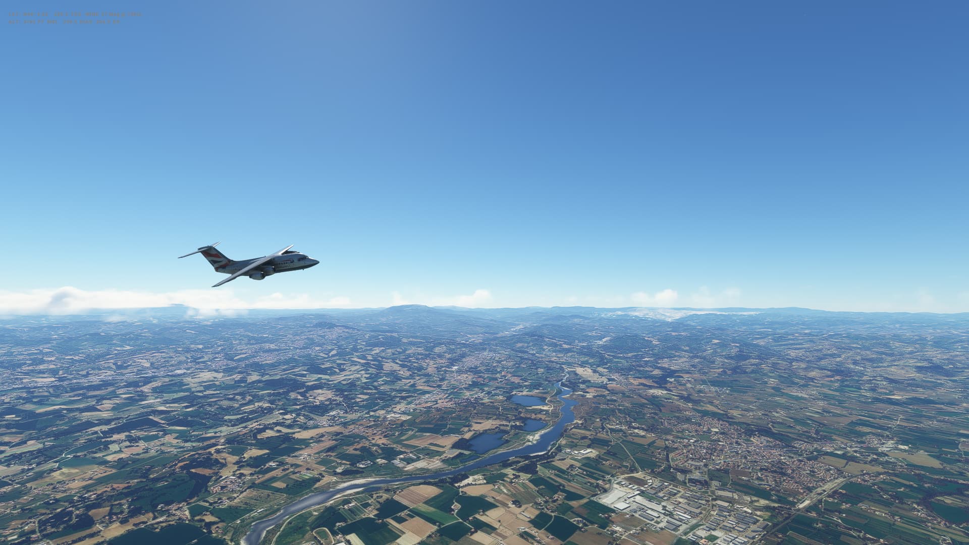
Lovely fliight today West across central Italy from the Adriatic Coast to the Tyrrhenian Sea. Nice weather too, just some lighht clouds around. Lovely views of the coast as we head South from San Marino before turning west over some snowy topped mountains.
ATC were quite late in comfirming my approach, so ended up circling a little and heading out over the sea before turning back for a straightforward approach - although there was a bit of crosswind that I struggled to managed on touchedown and nearly went off the side of the runway.
My problems with maintaining speed through the approach phase as the flaps extend continued on this flight - I seem to suddenly find myself slowing down too much and have to push forward on the throttles, albeit it takes quite a while for the engines to spool up.
More practice needed!
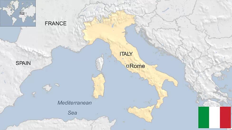
Italy
-
Capital: Rome
-
Area: 301,230 sq km
-
Population: 58.8 million
-
Language: Italian
-
Life expectancy: 79 years (men) 84 years (women)
Logbook
| This Leg |
Leg |
|
|
36 |
|
Date |
|
|
03/03/2023 |
|
Departure Airport |
ICAO |
|
LIPR |
|
|
Airport |
|
Federico Fellini International Airport (nearest) |
|
|
Capital City |
|
San Marino |
|
|
Country |
|
San Marino |
|
|
Runway |
|
31 |
|
Arrival Airport |
ICAO |
|
LIRE |
|
|
Airport |
|
Leonardo da Vinci International Airport |
|
|
Capital City |
|
Rome |
|
|
Country |
|
Italy |
|
|
Runway |
|
31 |
|
Actual Time (Local) |
Pushback Time |
|
10:04 |
|
|
Take Off Time |
|
10:07 |
|
|
Touchdown Time |
|
10:49 |
|
|
Arrival Time |
|
10:52 |
|
|
Air time |
|
00:42 |
|
|
Total Time |
|
00:48 |
|
Ground Distance (Nm) |
|
|
236 |
|
Air Distance (Nm) |
|
|
236 |
|
Great Circle Distance (Nm) |
|
|
142 |
|
Fuel Start (Kgs) |
|
|
4,453 |
|
Fuel End (Kgs) |
|
|
2,145 |
|
Fuel Used (Kgs) |
|
|
2,308 |
|
SID |
|
|
ANC5N |
|
Route |
|
|
LIPR/31 ANC5N ANC DCT PEMAR PEMAR1V LIRE/31 |
|
STAR |
|
|
PEMAR1V |
|
Approach |
|
|
ILS Y 31 |
|
Passengers |
|
|
80 |
|
Cargo (000 Kgs) |
|
|
2,300 |
|
Take Off Weight (000 Kgs) |
|
|
35.5 |
|
Cruising Altitude (feet) |
|
|
31,000 |
| Cumulative |
Ground Distance (Nm) |
|
|
10,553 |
|
Air Distance (Nm) |
|
|
10,509 |
|
Great Circle Distance (Nm) |
|
|
8,182 |
|
Total air time |
|
|
17:28 |
|
Total time |
|
|
02:01:35 |
|
Fuel Used (Kgs) |
|
|
89,023 |
Flightplan:
IFR (LIPR) to (LIRE).lnmpln (1.3 KB)
Timelapse Video
Screenshots
Take Off
Cruise
Landing
Overall route so far
UTDD UTTT UCFM UACC UTAA OIII UBBB UGTB UDYZ ORBI OKBK OBBI OOMS OMAA OTHH OERK OJAI LLBG OSDI OLBA LCEN LTAC LRBS LBSF LWSK BKPR LATI LYPG LQSA LYBE LHBP LZIB LOWW LDZA LJLJ LIPR LIRE
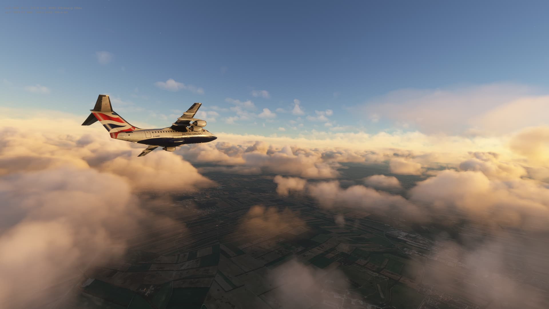
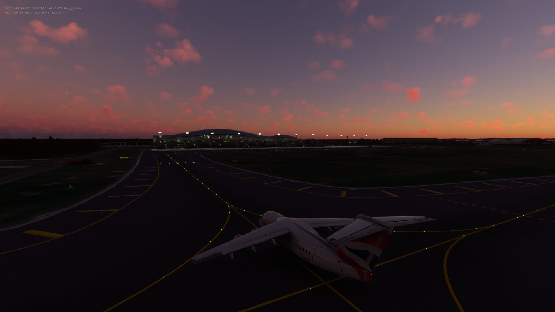
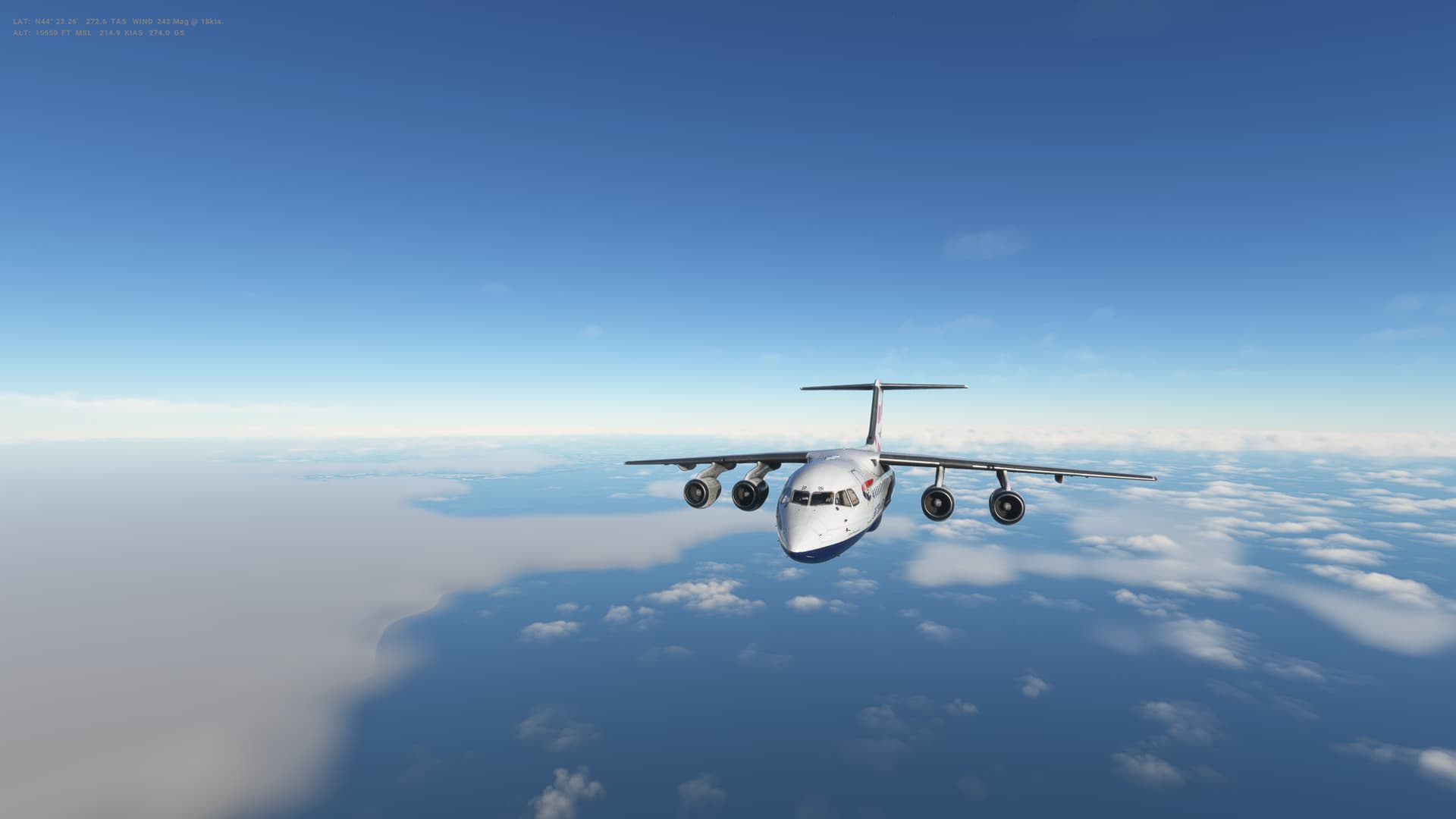
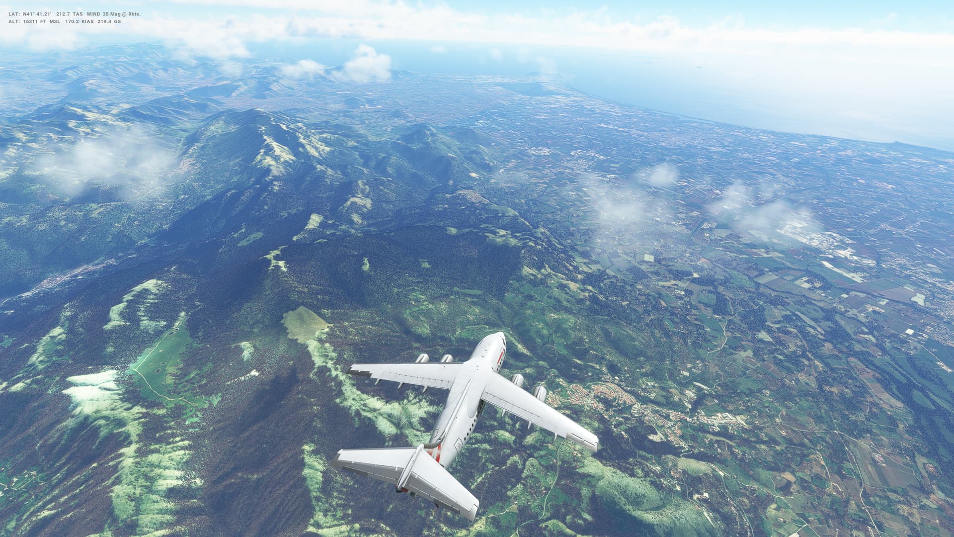
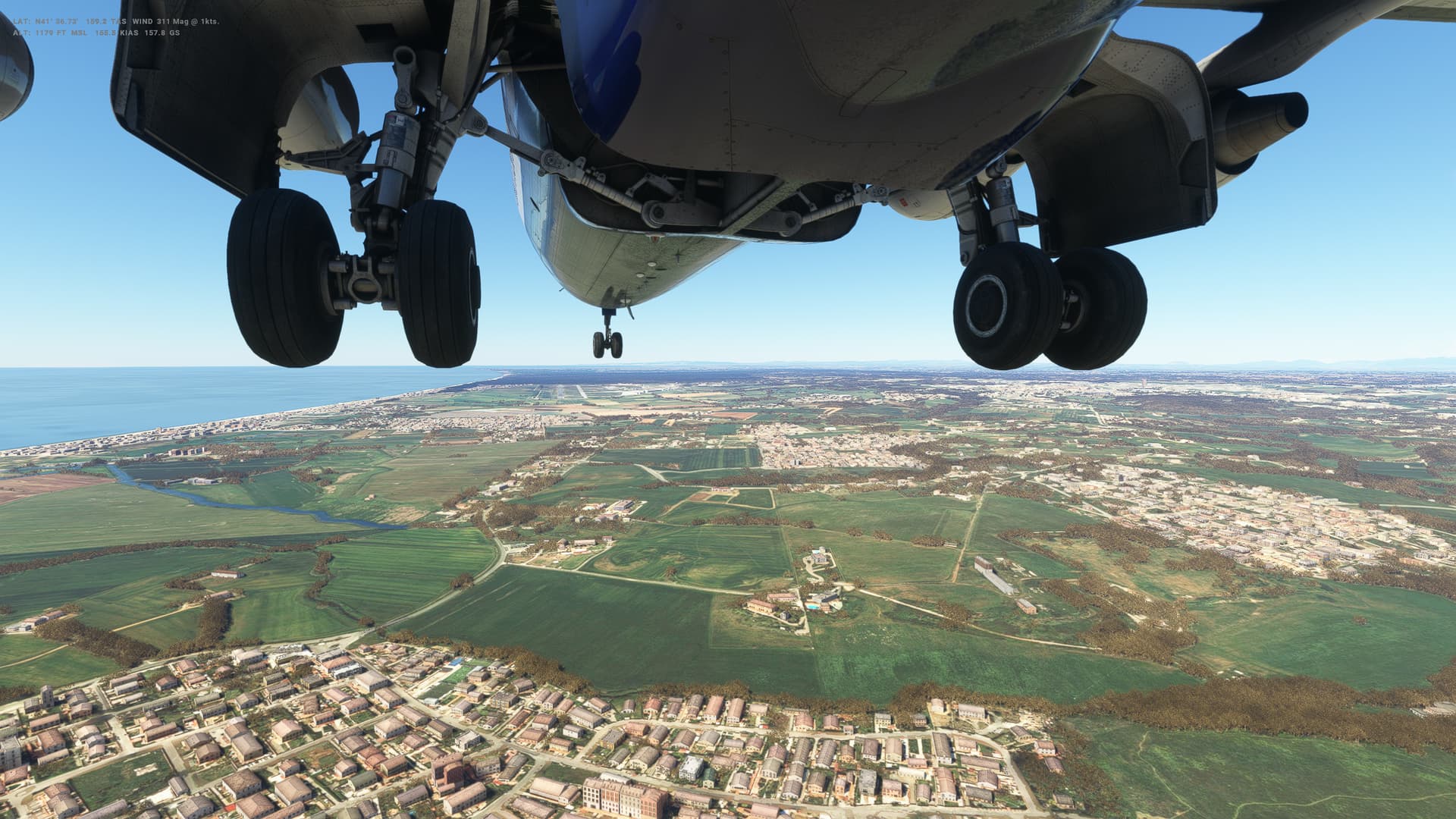
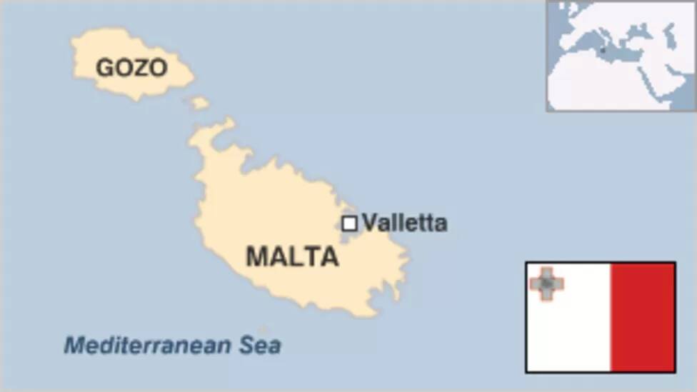
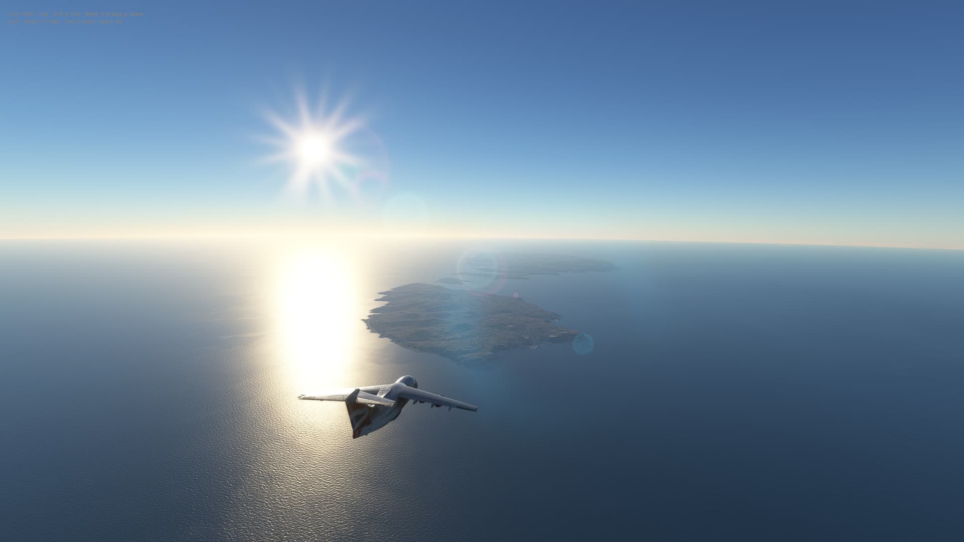
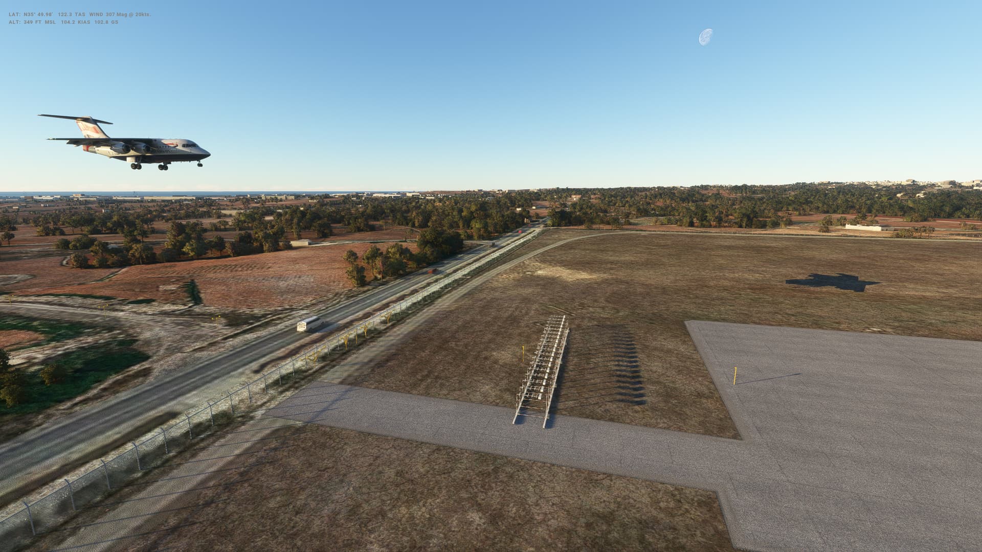
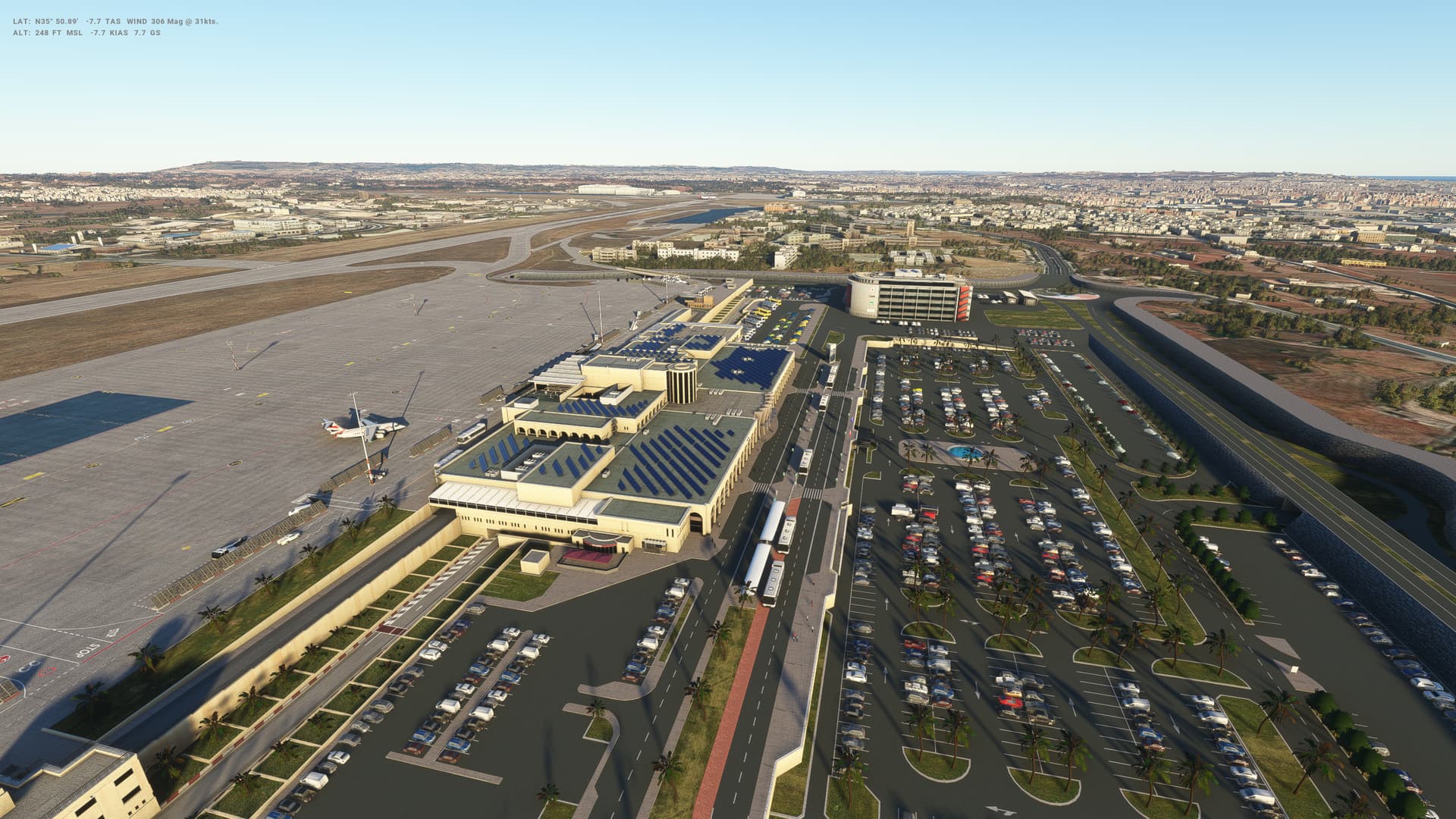
Leg 37: Rome (LIRE), Italy to Valetta (LMML), Malta
Summary
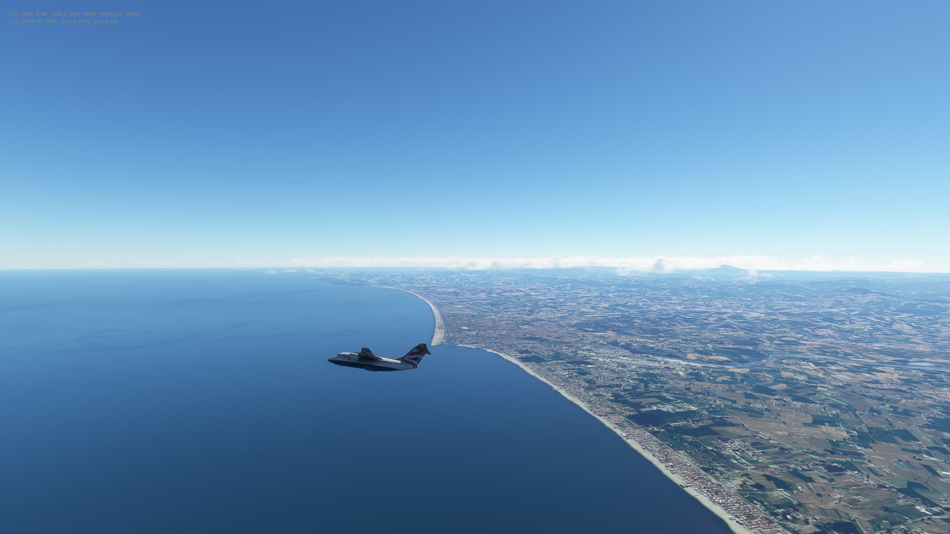
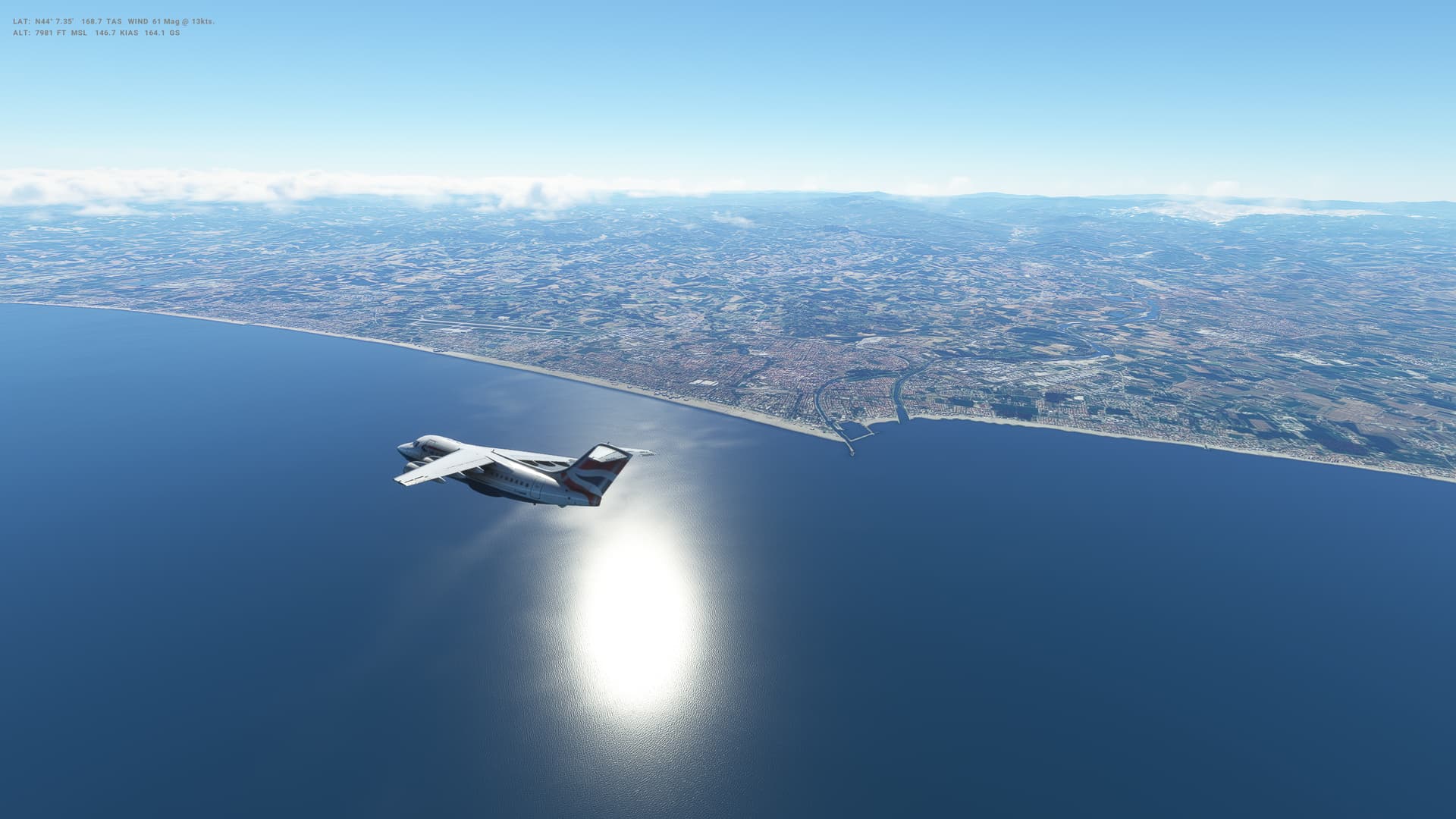
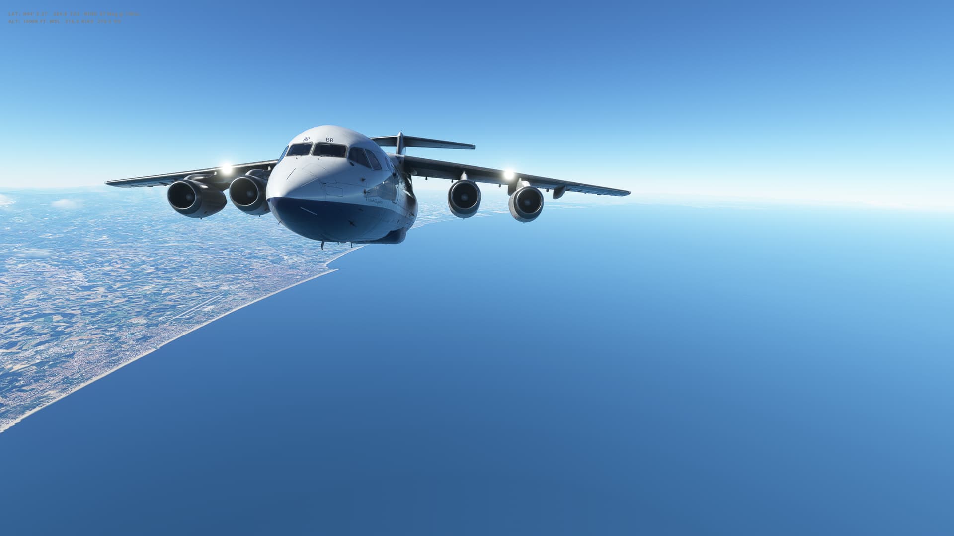
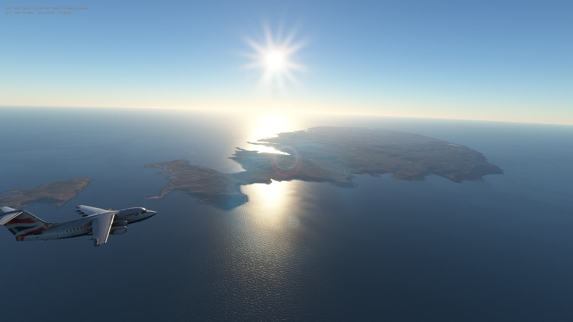
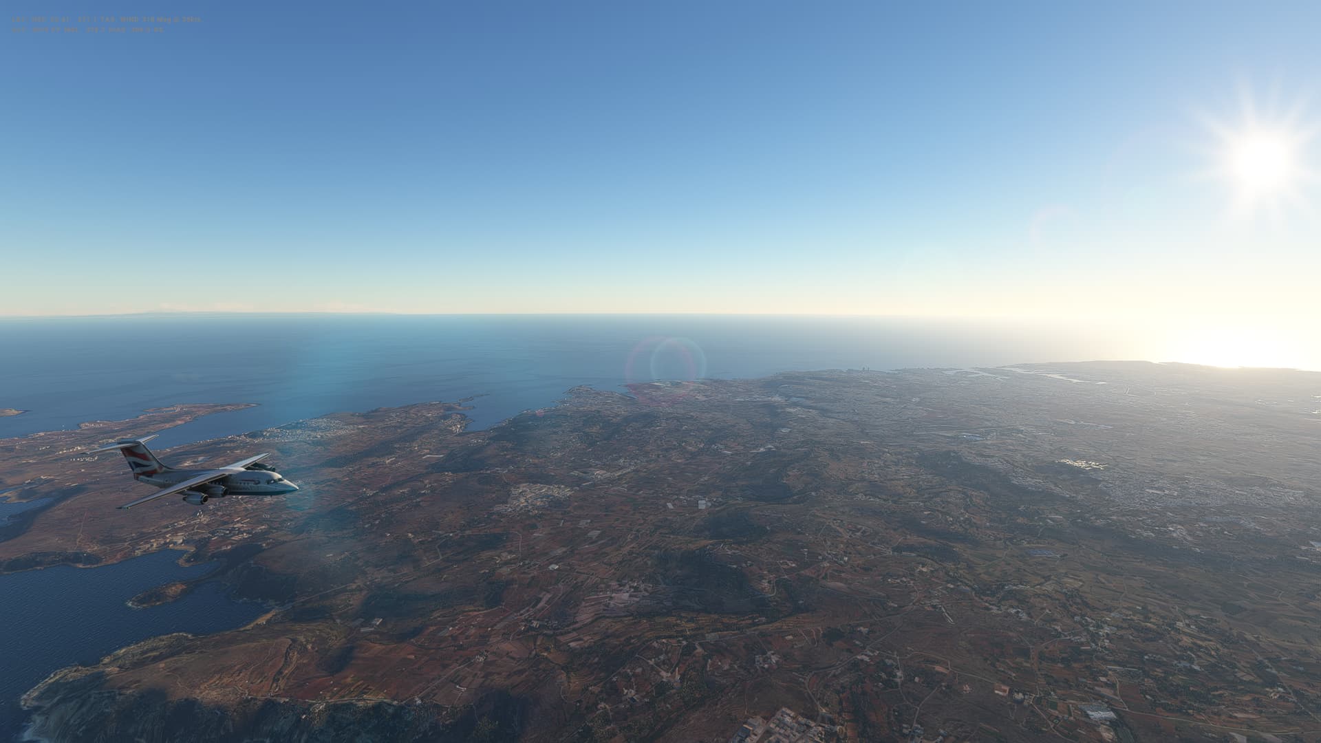
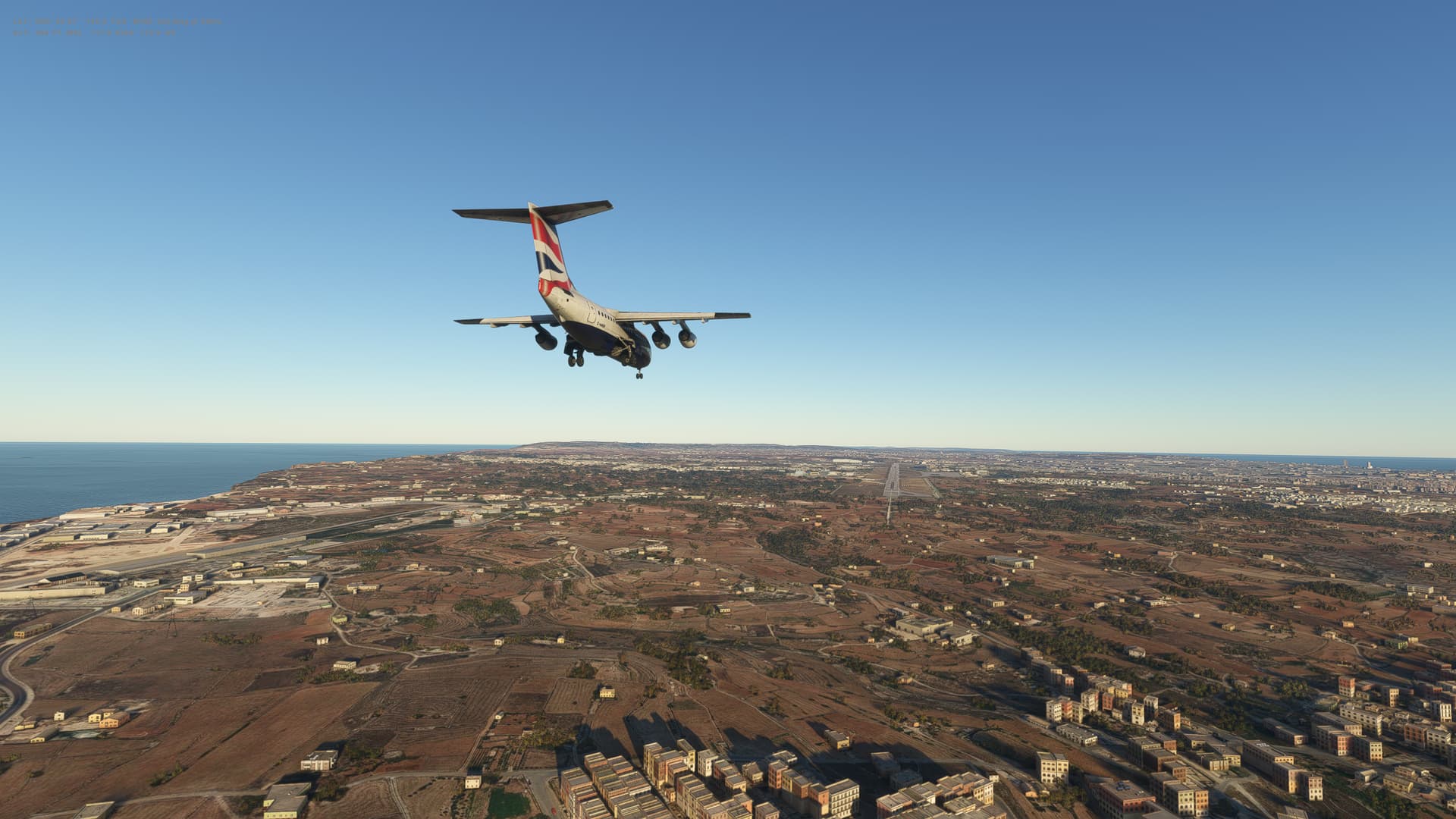
Our final flight in the BAe 146-100 Professional, and probably our best in terms of least problems and mistakes. Beautiful morning weather as we head South from Rome, over the Tyrrhenian Sea, over Sicily and on to Malta in the Mediterranean Sea. This is our longest fligth in the 146 at 361 great circle miles, and it went very smoothly indeed.
A tricky windy landing - alittle bit of crosswind - which I think I handled quite well. Certainly my best landing yet, although a little off to the left as I tried to correct for the wind.
I wonder which aircraft we will be picking up here for our next leg? On to a new continent - Africa!
Malta
-
Capital: Valletta
-
Area: 316 sq km
-
Population: 519,500 million
-
Languages: Maltese, English
-
Life expectancy: 80 years (men) 84 years (women)
Logbook
| This Leg |
Leg |
|
|
37 |
|
Date |
|
|
12/03/2023 |
|
Aircraft |
|
|
BAe 146-100 |
|
Departure Airport |
ICAO |
|
LIRE |
|
|
Airport |
|
Leonardo da Vinci International Airport |
|
|
Capital City |
|
Rome |
|
|
Country |
|
Italy |
|
|
Runway |
|
31 |
|
Arrival Airport |
ICAO |
|
LMML |
|
|
Airport |
|
Malta International Airport |
|
|
Capital City |
|
Valletta |
|
|
Country |
|
Malta |
|
|
Runway |
|
31 |
|
Actual Time (Local) |
Pushback Time |
|
07:00 |
|
|
Take Off Time |
|
07:07 |
|
|
Touchdown Time |
|
08:16 |
|
|
Arrival Time |
|
08:19 |
|
|
Air time |
|
01:09 |
|
|
Total Time |
|
01:19 |
|
Ground Distance (Nm) |
|
|
437 |
|
Air Distance (Nm) |
|
|
374 |
|
Great Circle Distance (Nm) |
|
|
361 |
|
Fuel Start (Kgs) |
|
|
6,979 |
|
Fuel End (Kgs) |
|
|
3,888 |
|
Fuel Used (Kgs) |
|
|
3,091 |
|
SID |
|
|
RIFFI5V |
|
Route |
|
|
LIRE/31 RIFFI5V RIFFI DCT ROSAS DCT LONDI Q723 ROBIM M732 GZO DCT
LMML/31 |
|
STAR |
|
|
|
|
Approach |
|
|
ILS 31 |
|
Passengers |
|
|
80 |
|
Cargo (000 Kgs) |
|
|
800 |
|
Take Off Weight (000 Kgs) |
|
|
37.5 |
|
Cruising Altitude (feet) |
|
|
31,000 |
| Cumulative |
Ground Distance (Nm) |
|
|
10,990 |
|
Air Distance (Nm) |
|
|
10,883 |
|
Great Circle Distance (Nm) |
|
|
8,543 |
|
Total air time |
|
|
18:37 |
|
Total time |
|
|
02:02:54 |
|
Fuel Used (Kgs) |
|
|
92,114 |
Flightplan:
IFR (LIRE) to (LMML).lnmpln (2.6 KB)
Timelapse Video
Screenshots
Take Off
Cruise
Landing
Overall route so far
UTDD UTTT UCFM UACC UTAA OIII UBBB UGTB UDYZ ORBI OKBK OBBI OOMS OMAA OTHH OERK OJAI LLBG OSDI OLBA LCEN LTAC LRBS LBSF LWSK BKPR LATI LYPG LQSA LYBE LHBP LZIB LOWW LDZA LJLJ LIPR LIRE LMML