Around the World via All Capital Cities in...a lot of different planes!

Leg 38: Valetta (LMML), Malta to Tripoli (HLLT), Libya


Summary

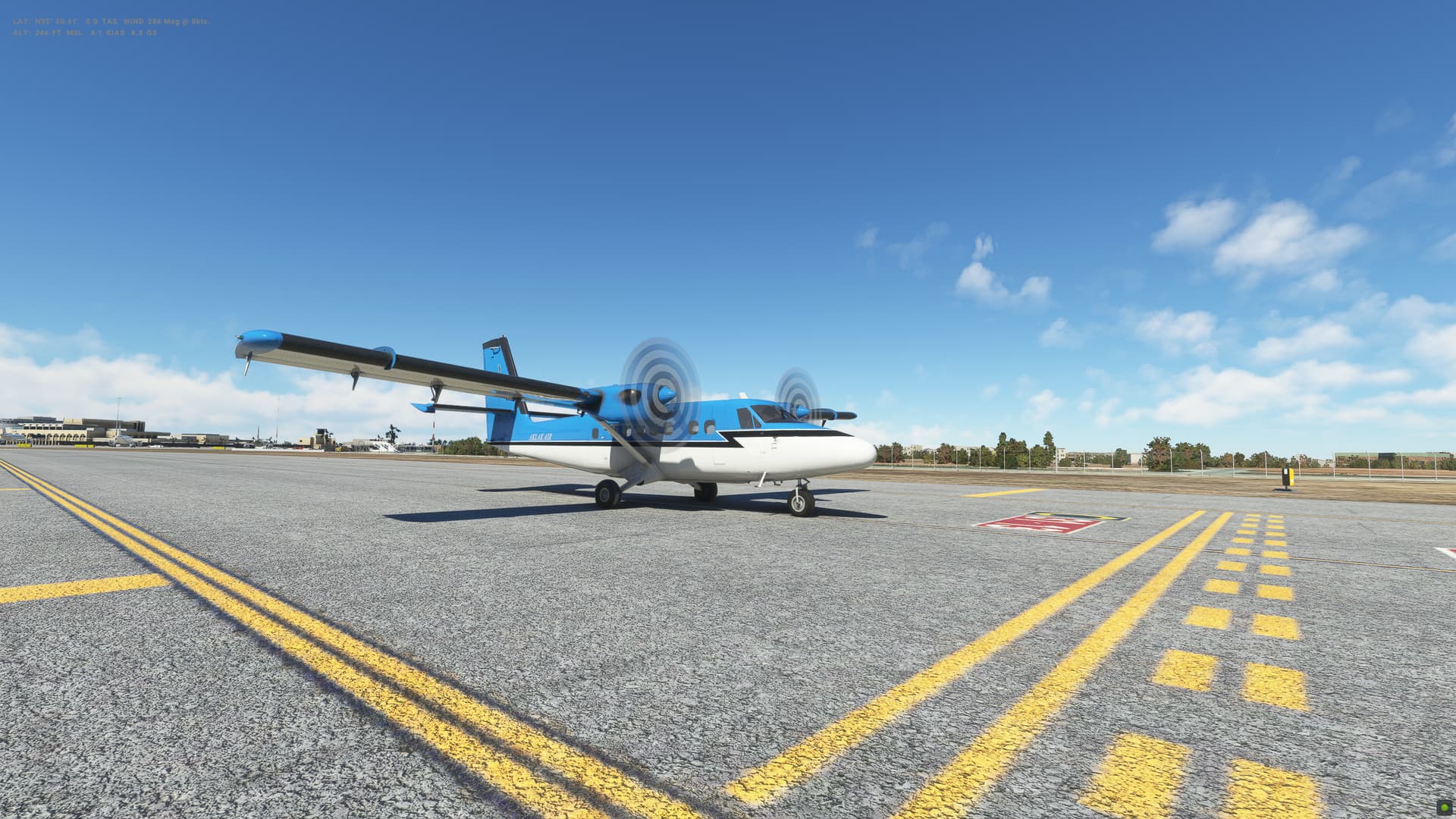
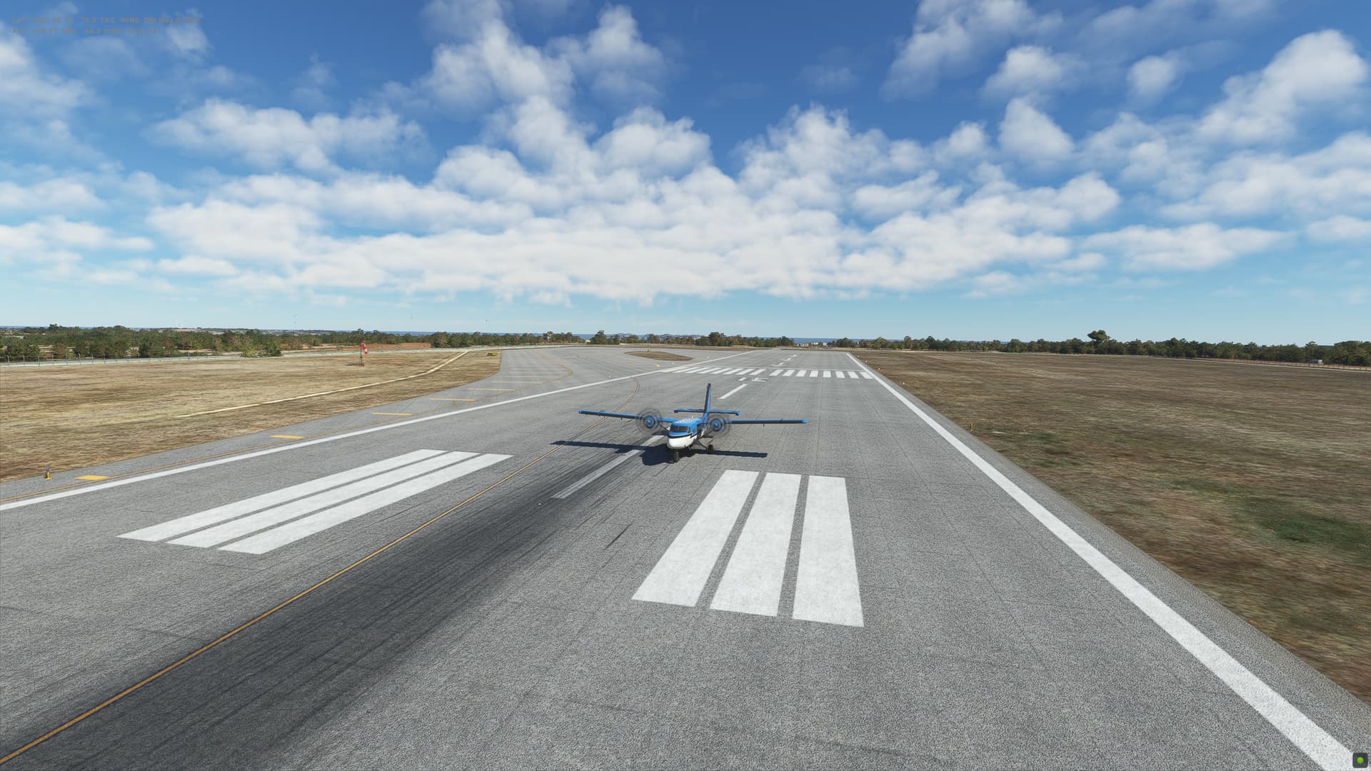
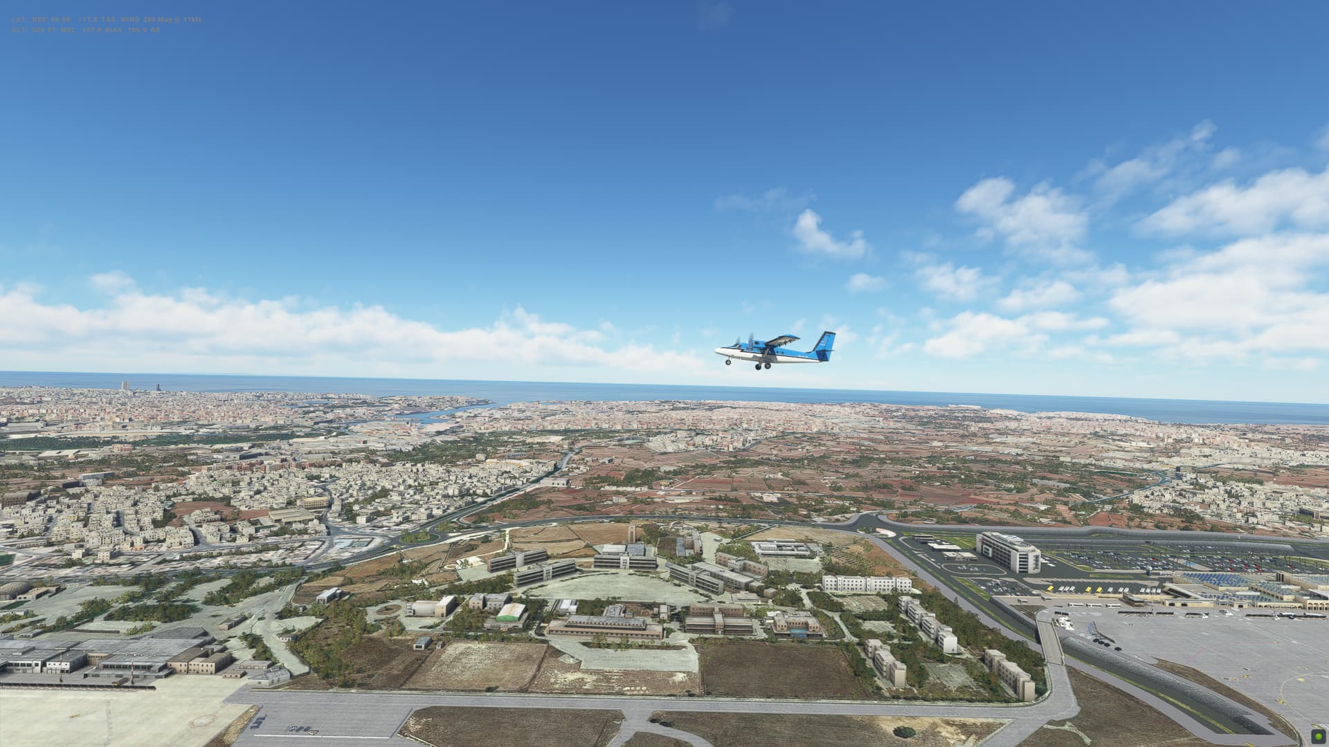
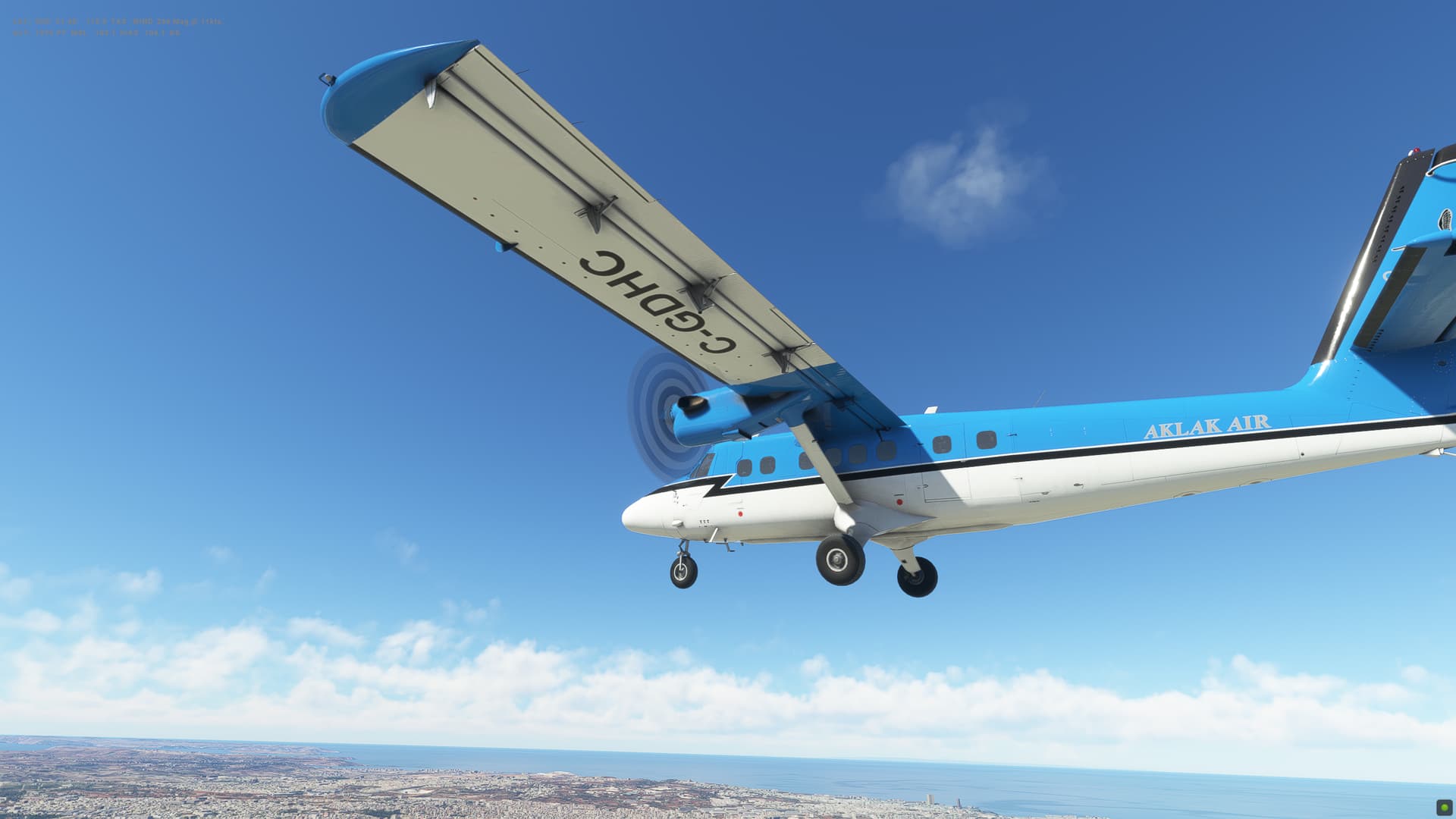
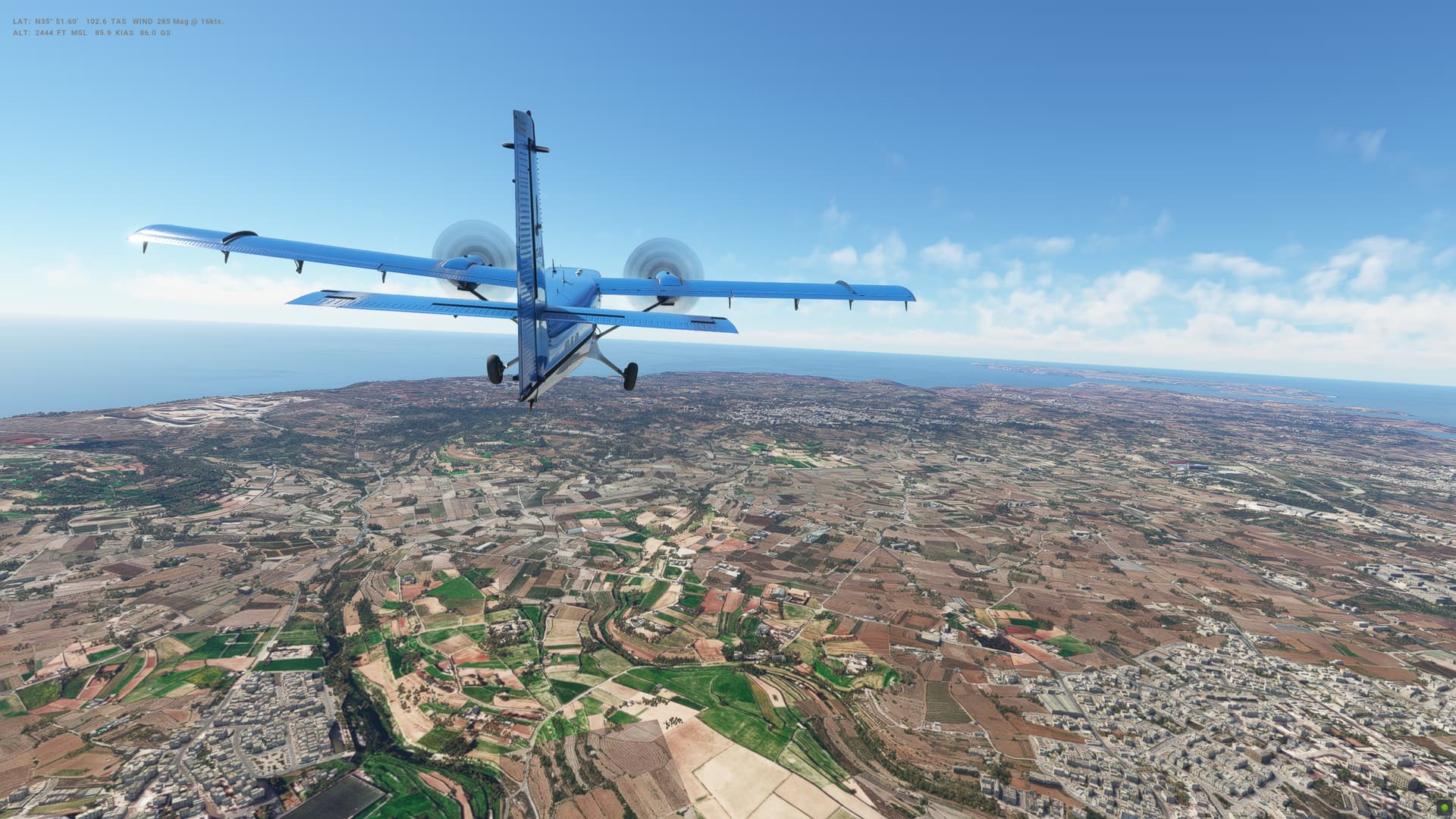
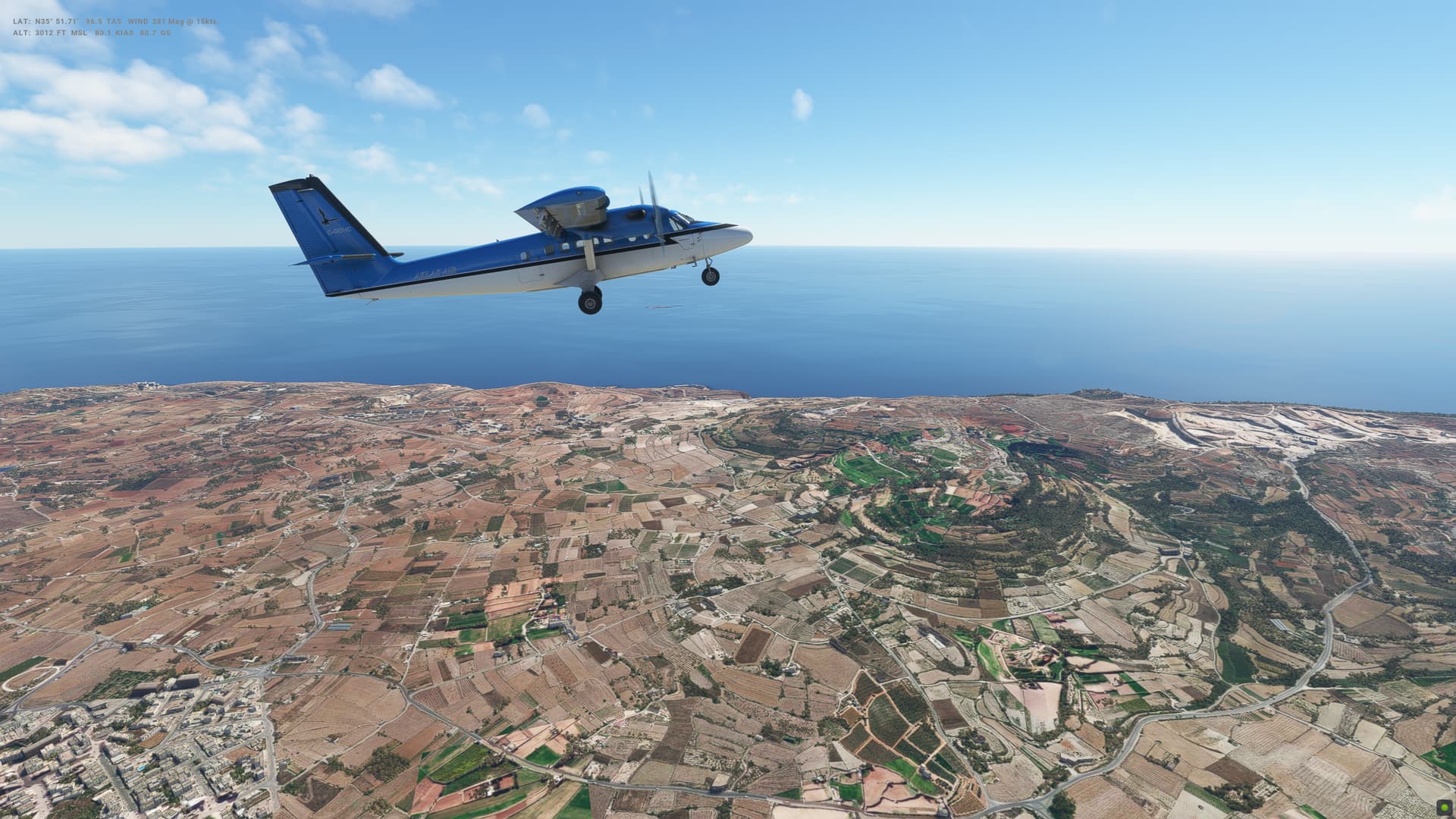
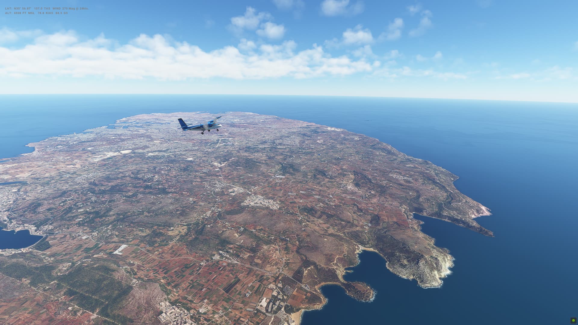
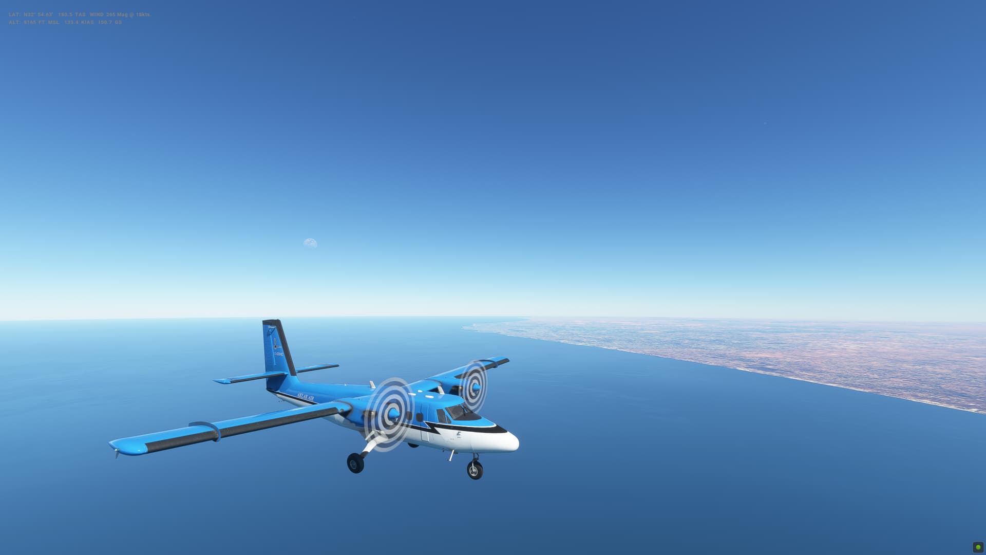
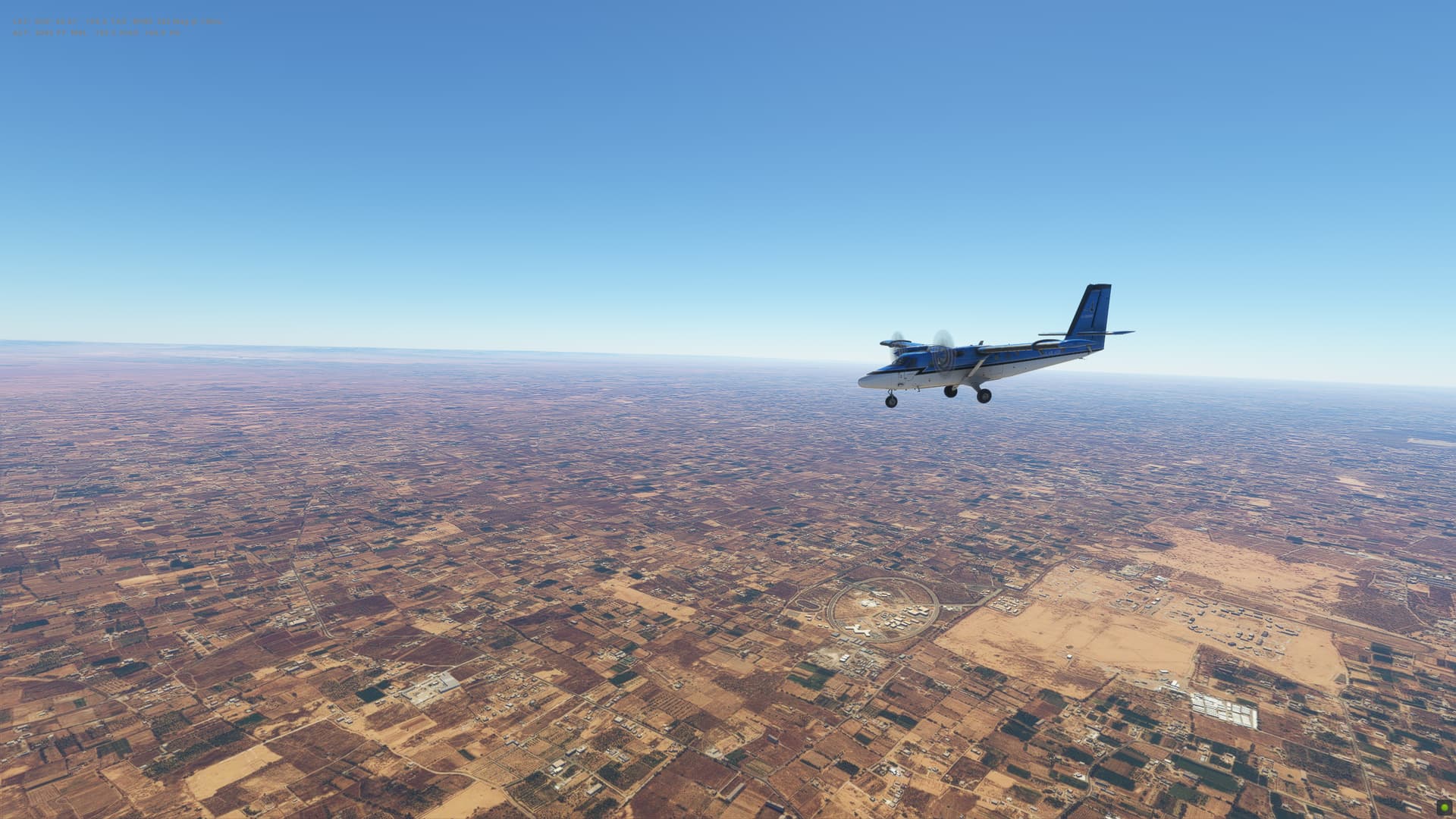
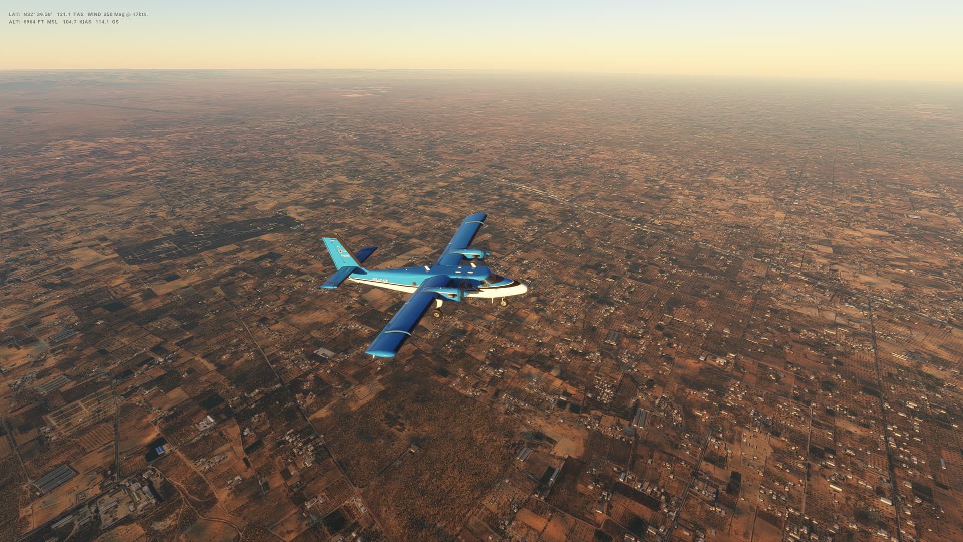
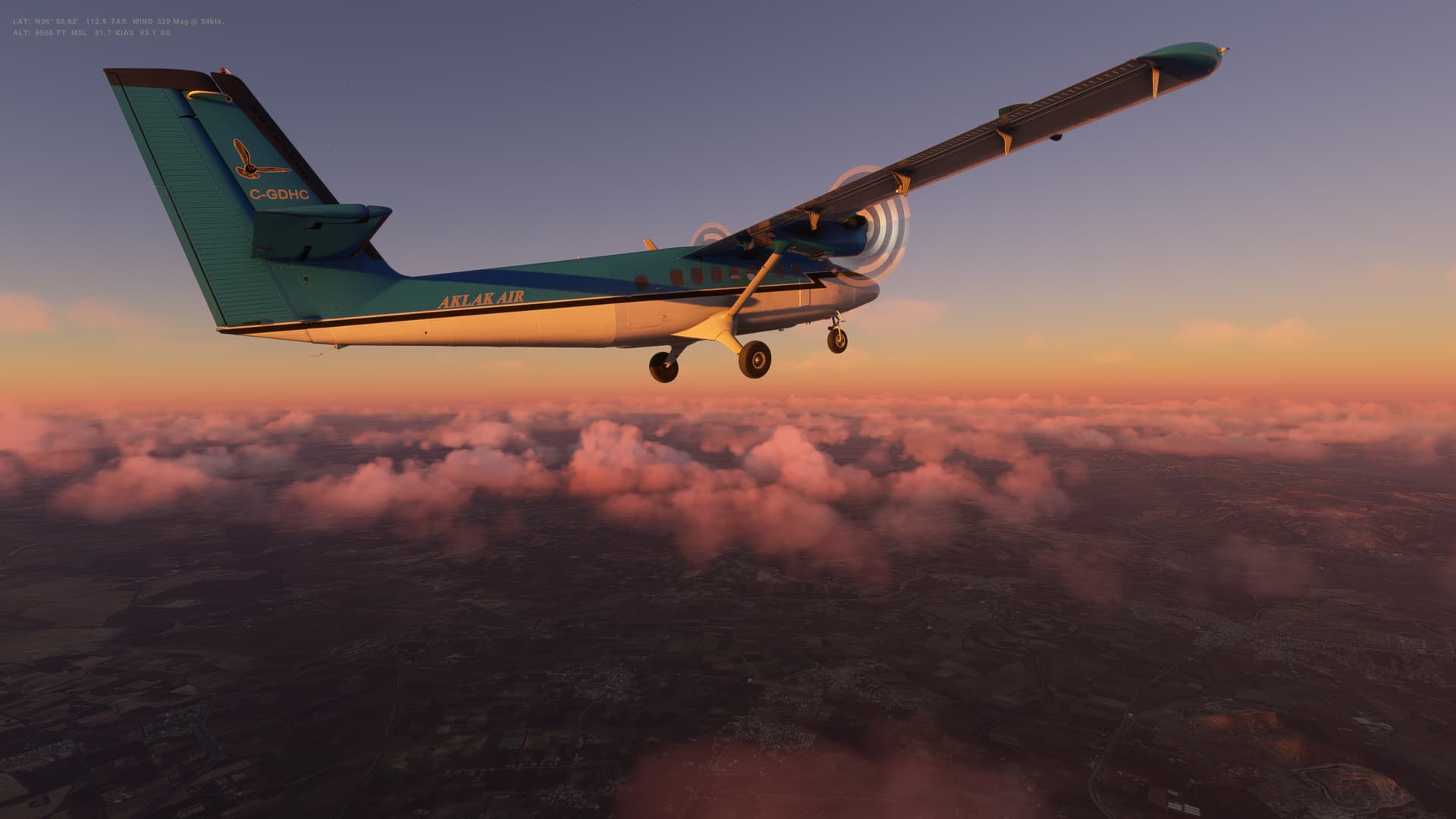
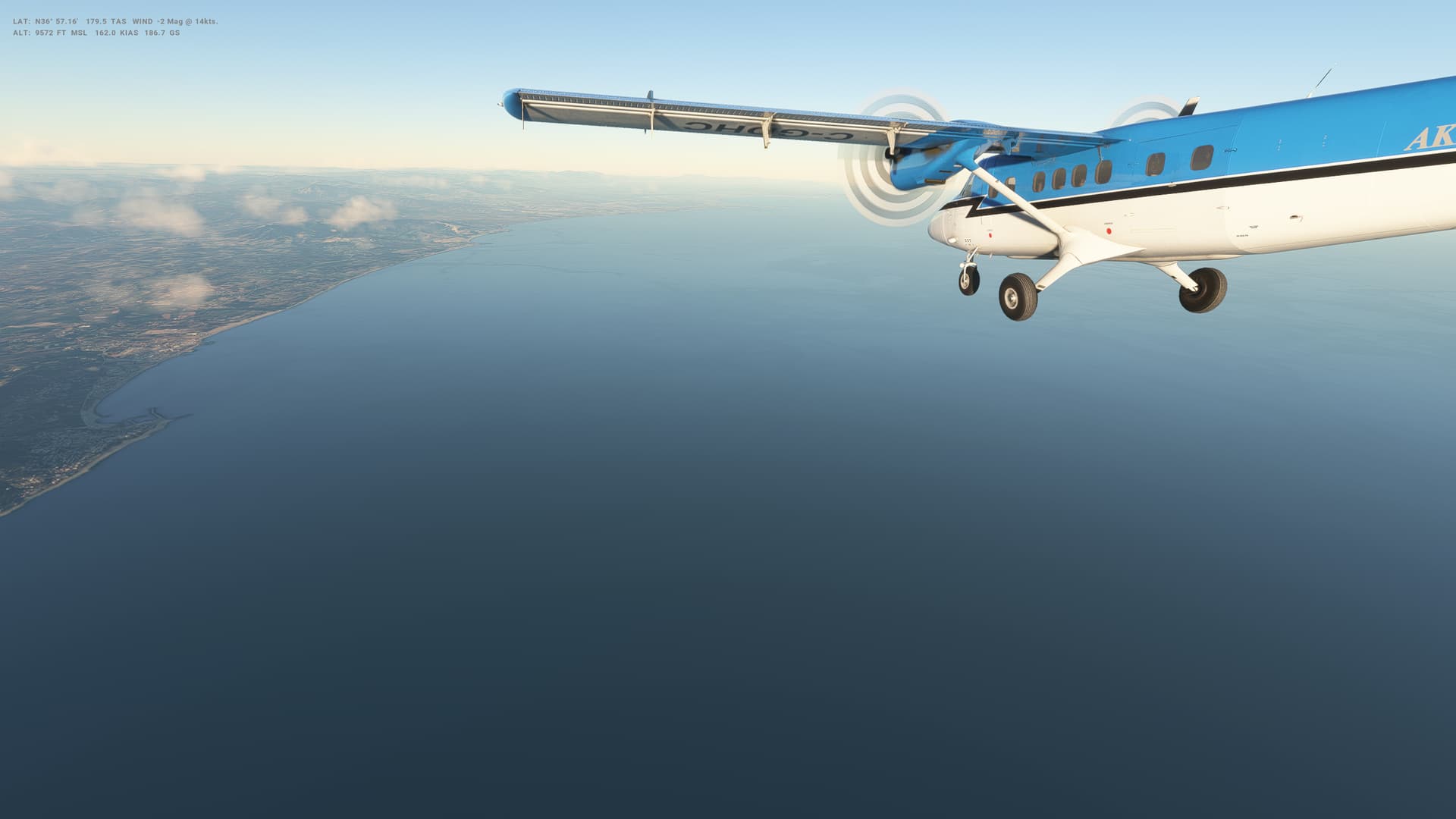
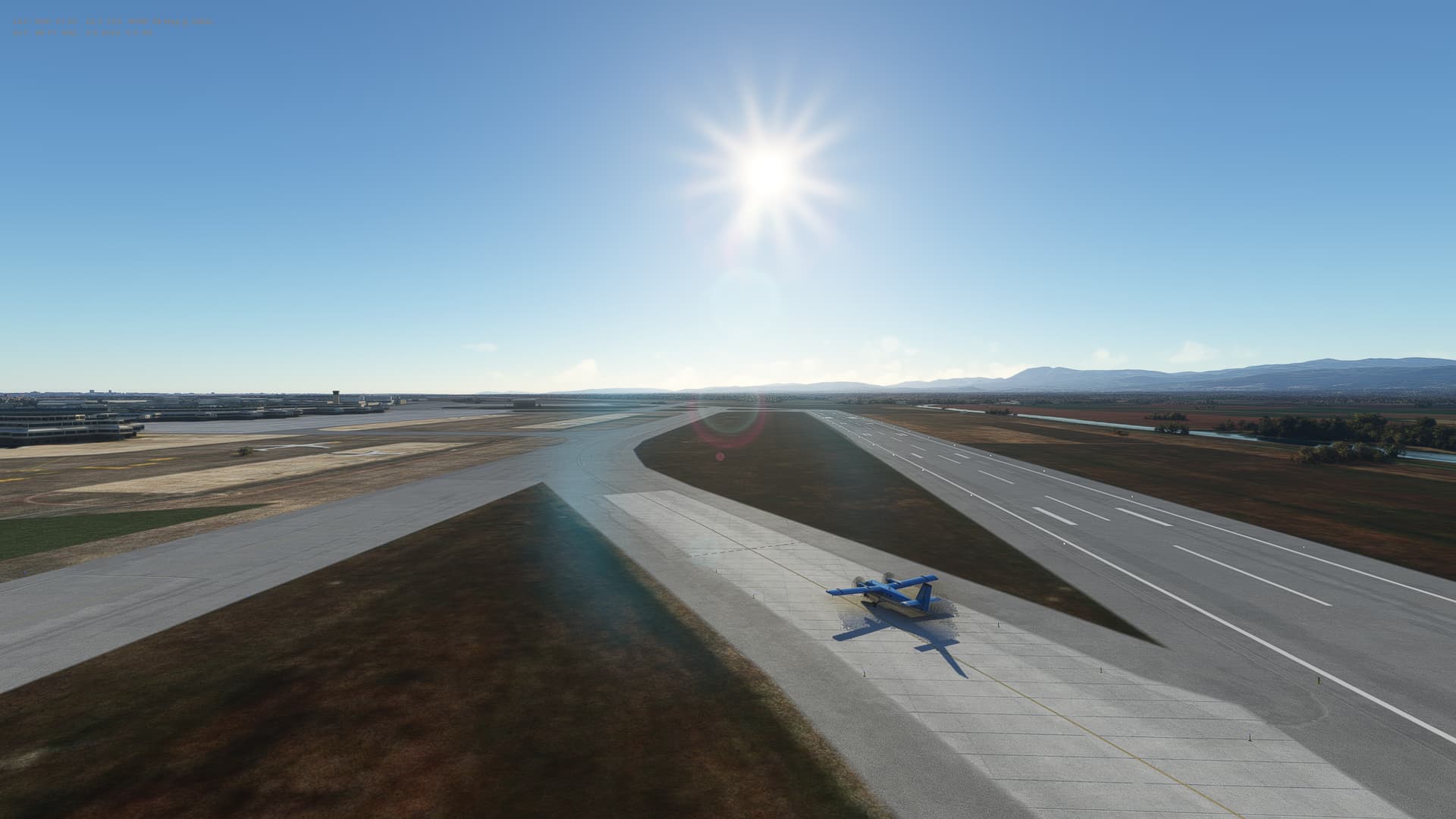
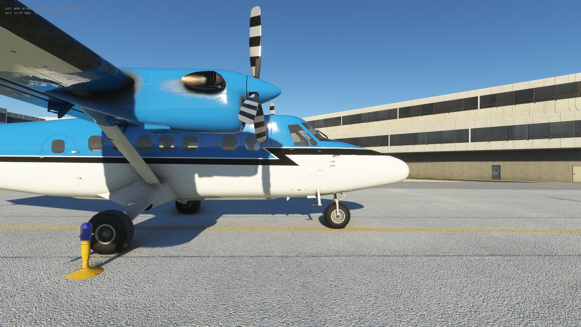
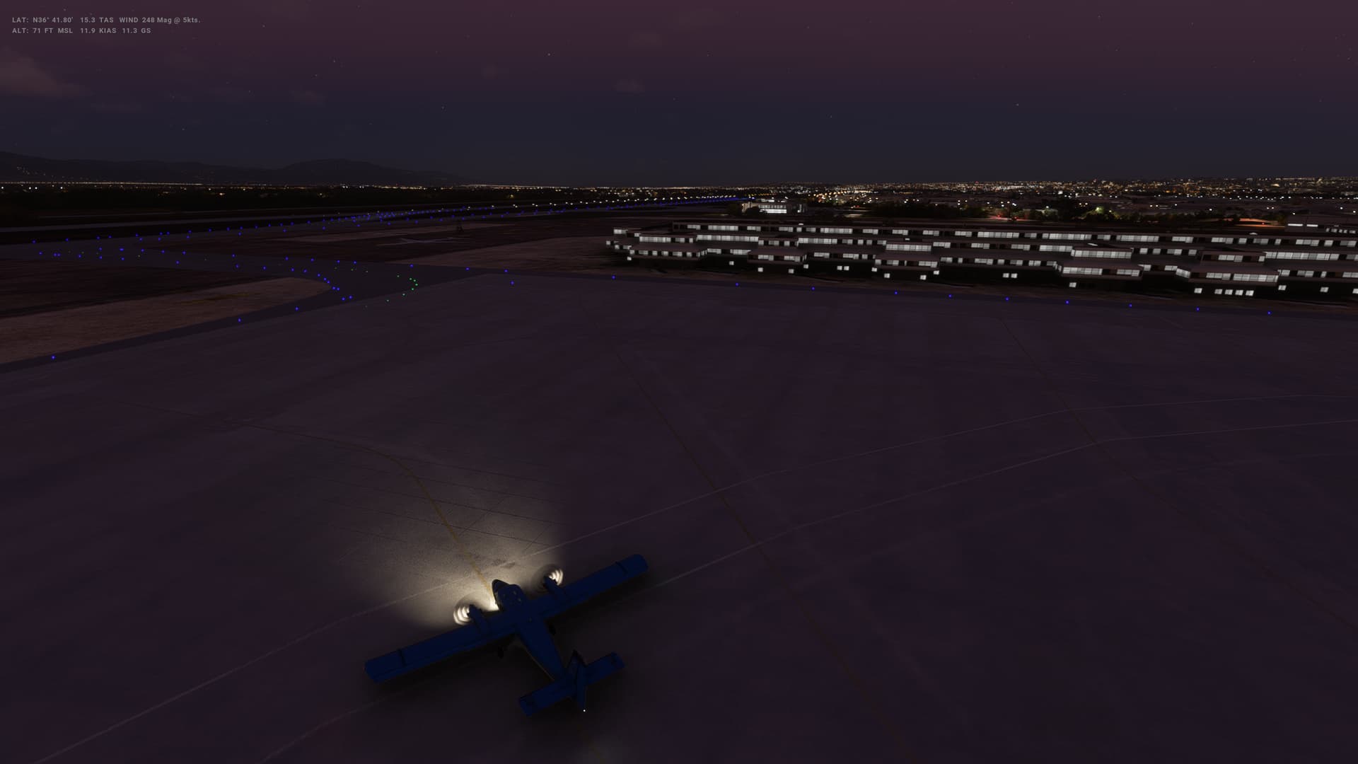
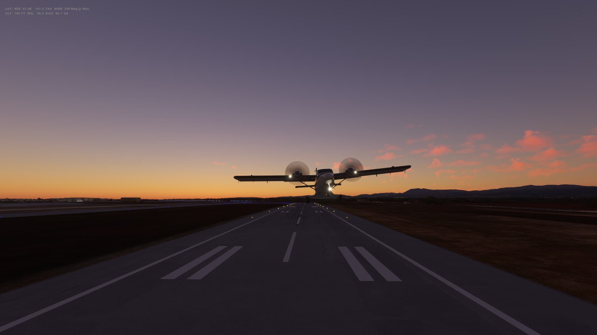
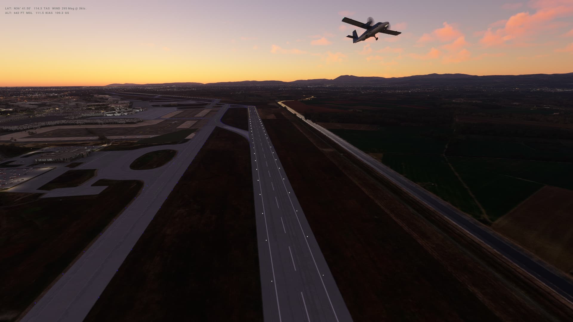
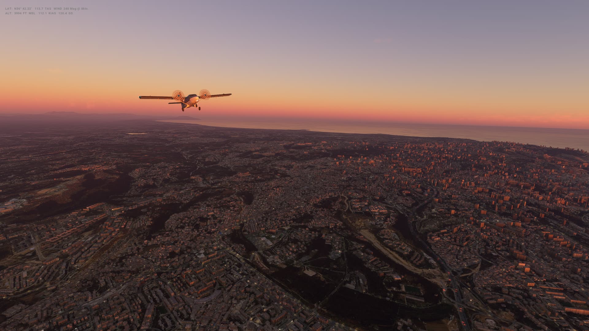
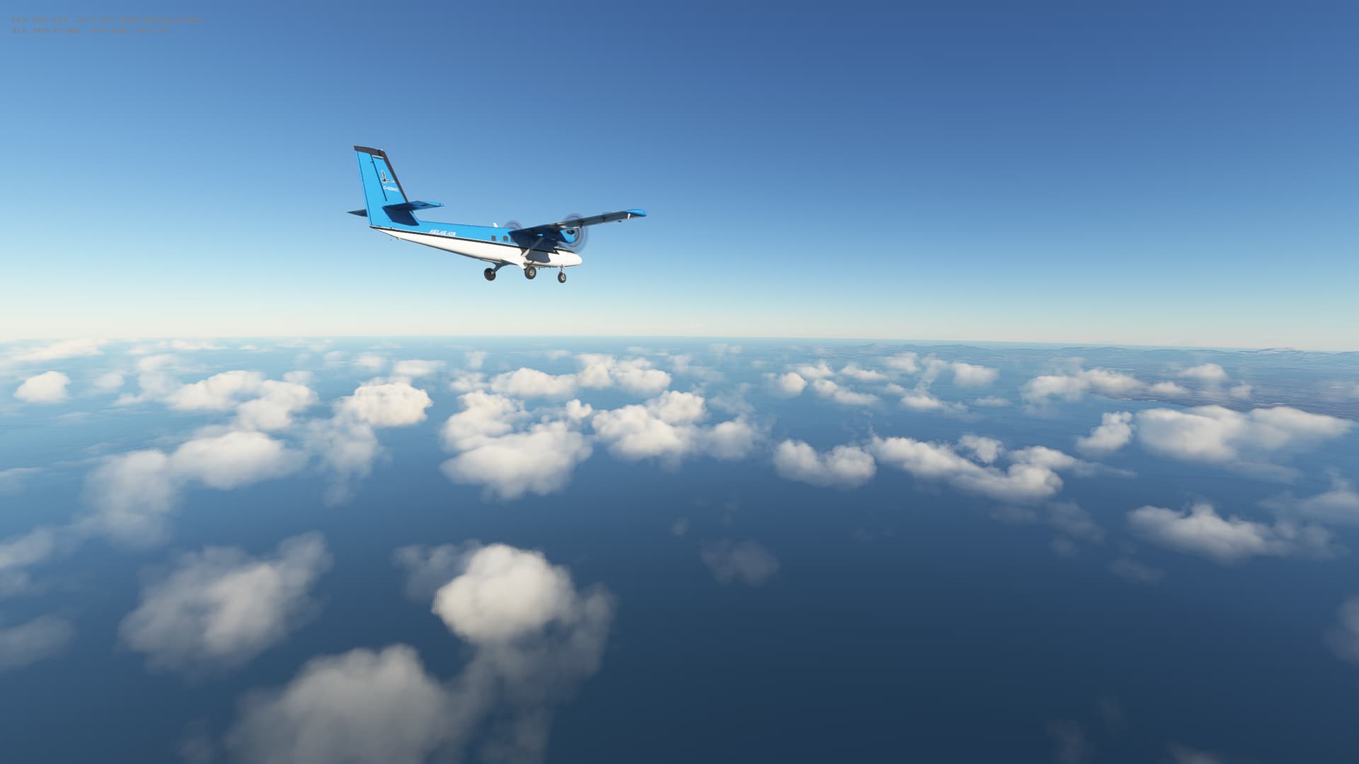
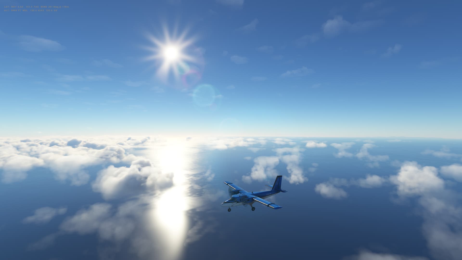
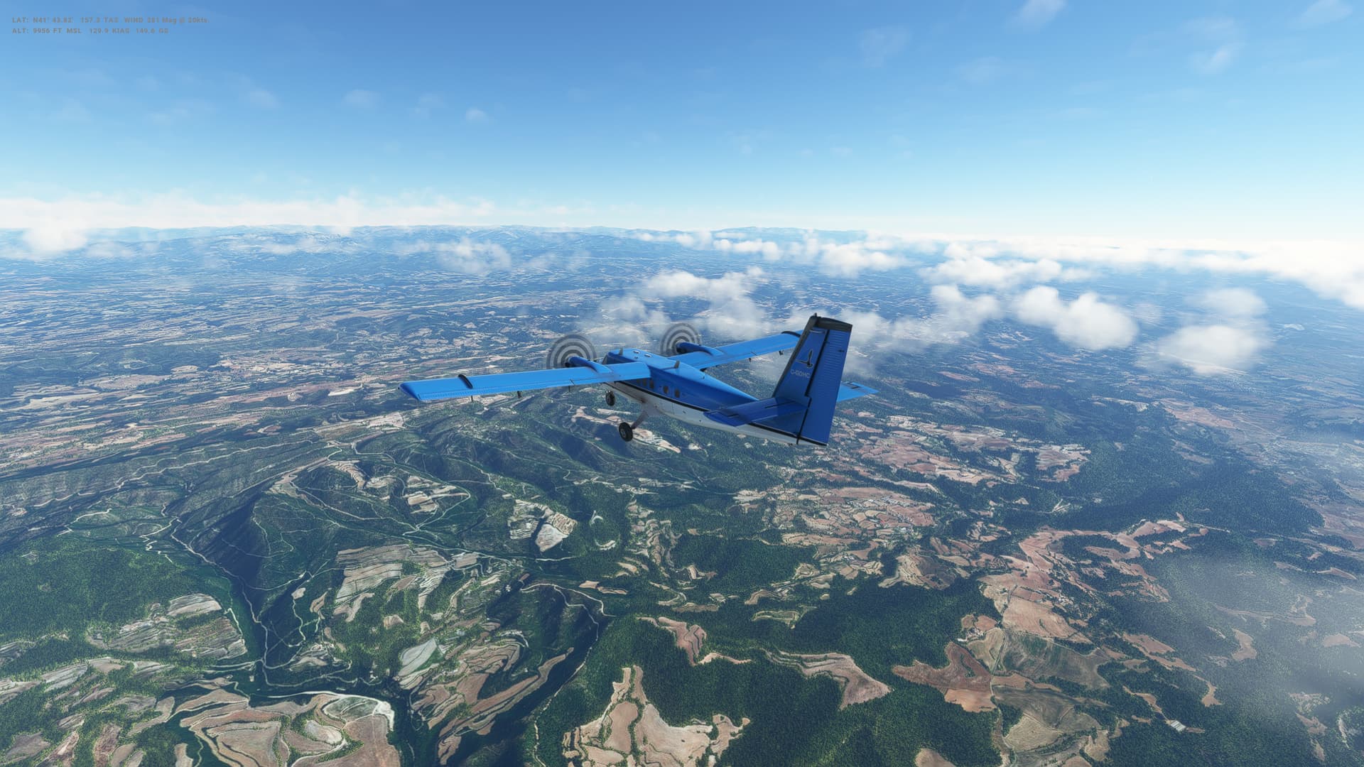
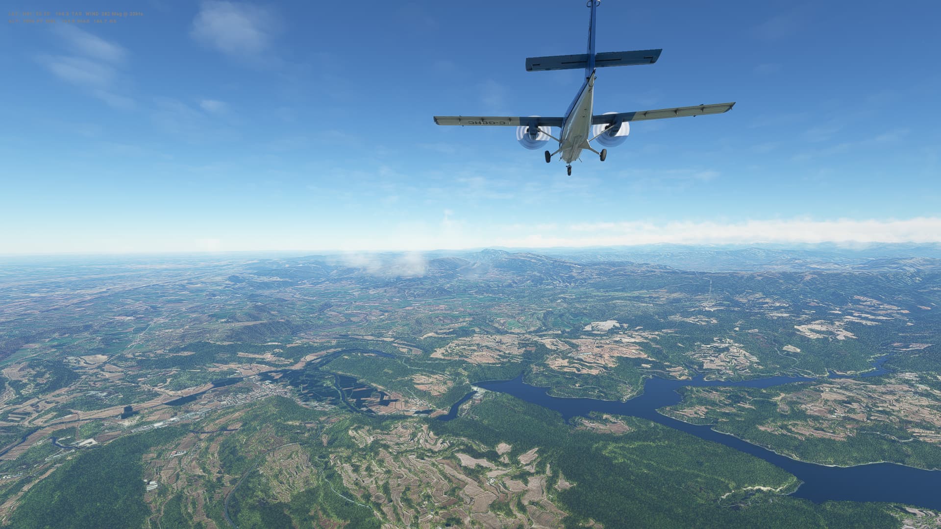
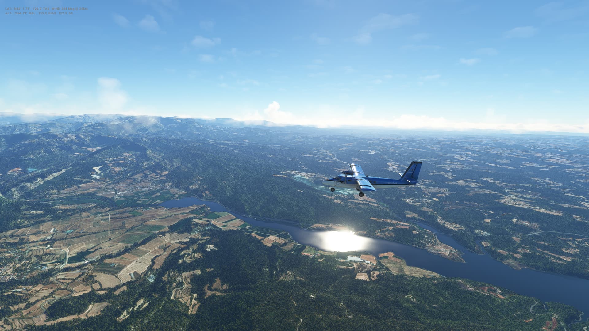
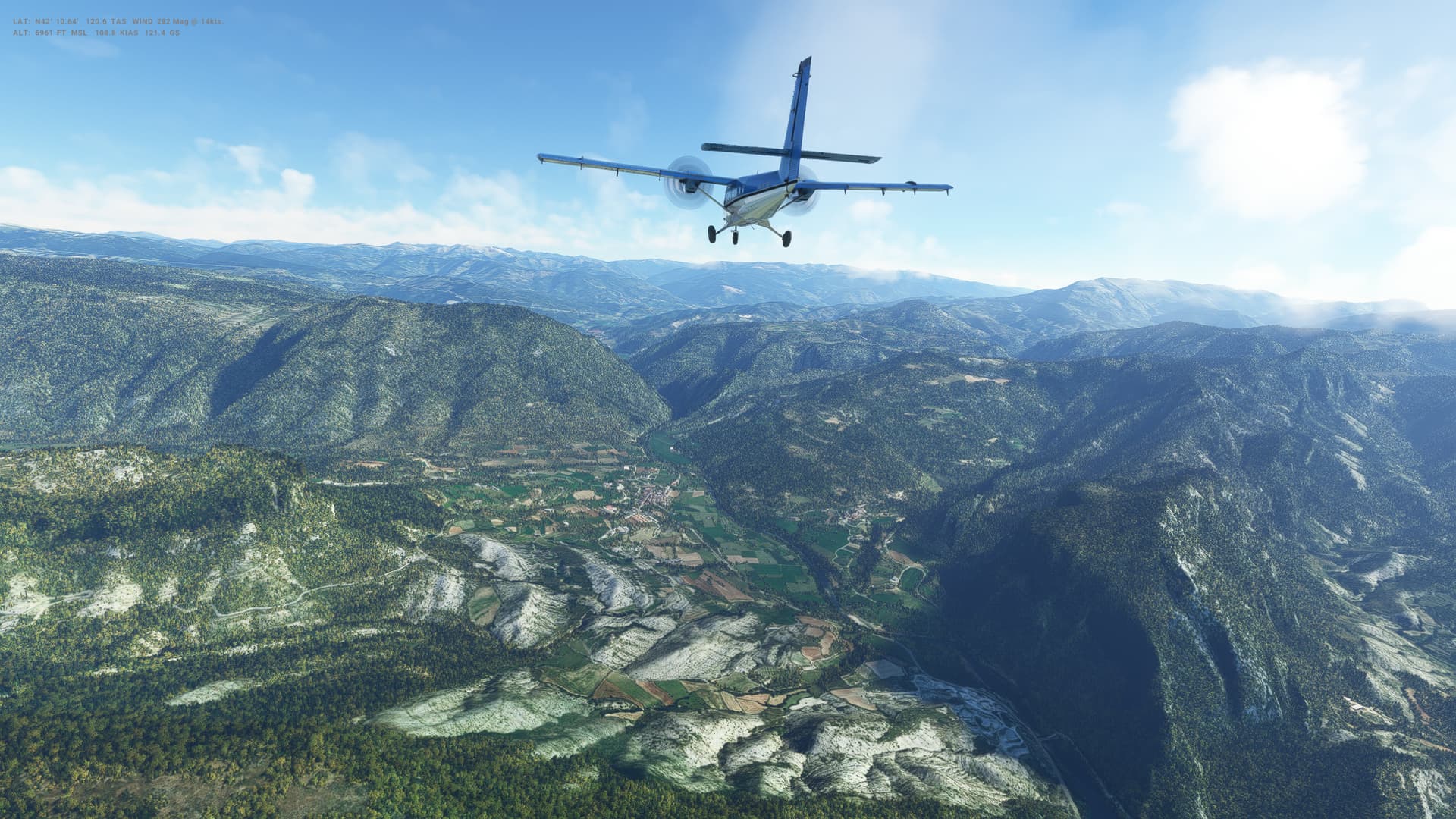
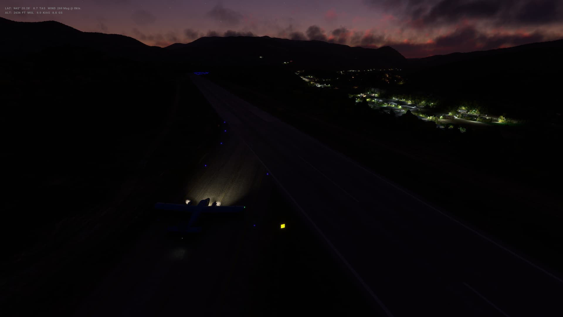
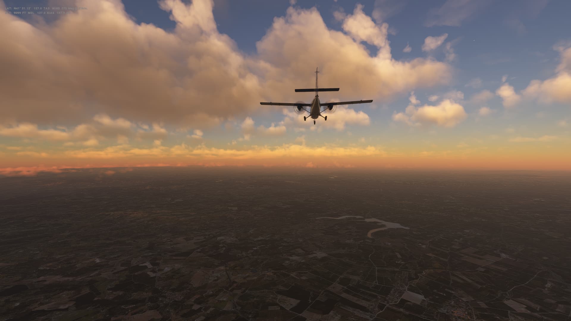
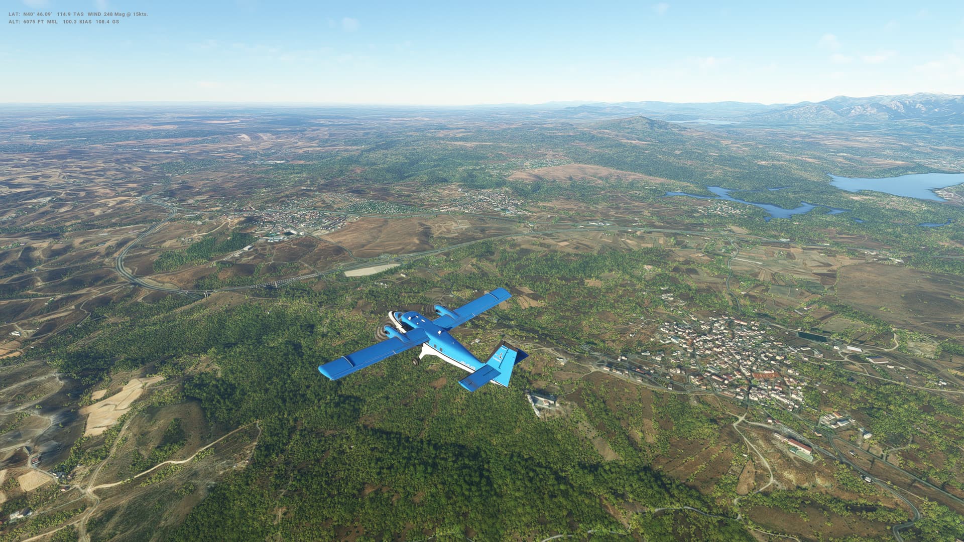
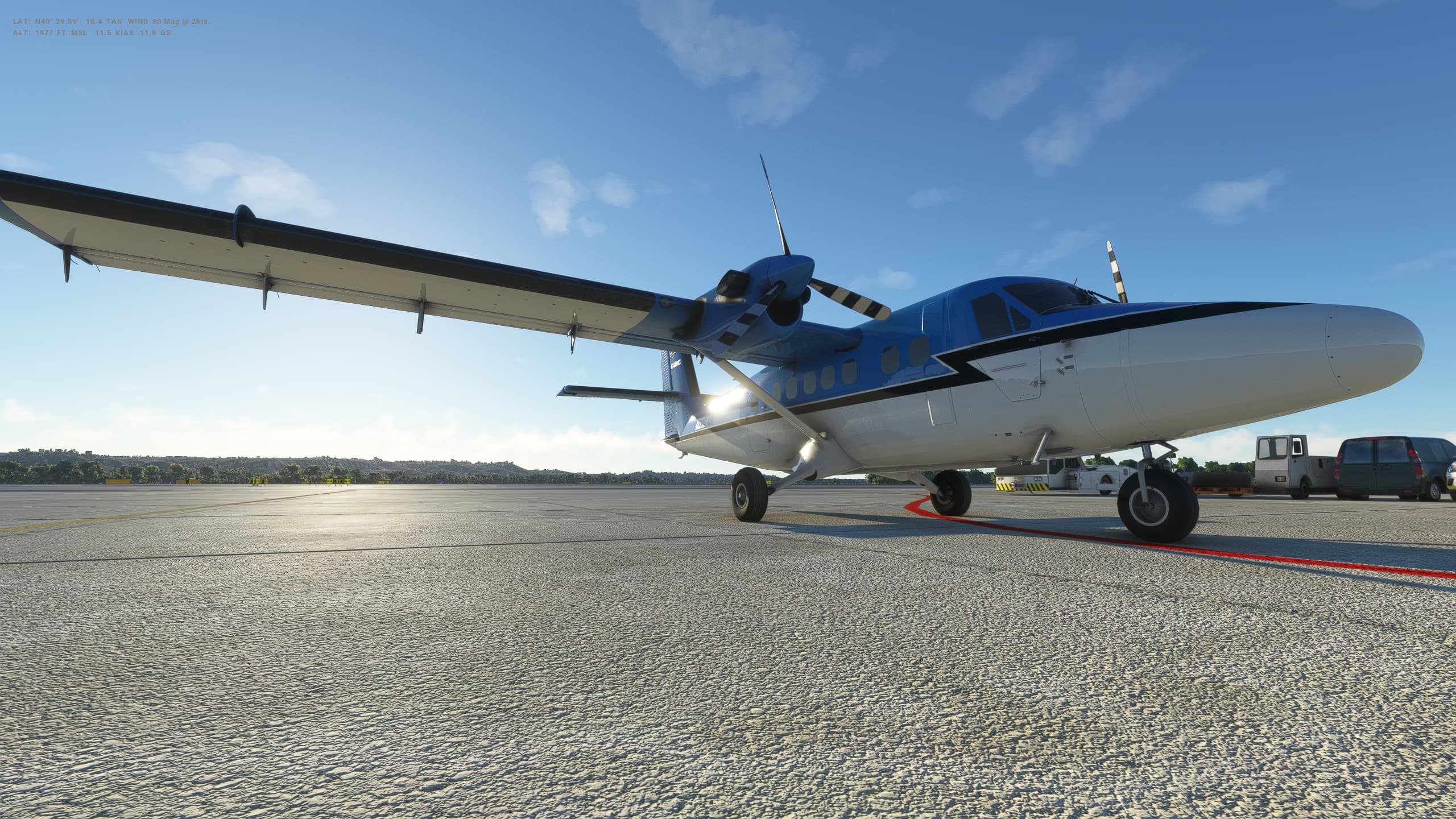
So we’ve left the BAe146 behind (was getting to really like it, but defnitely still struggling with the approach and landing) and stepped into something very different - the DHC-6 or Twin Otter. In our case, this time around, it’s the DHC-6-300 Wheels Cargo 3 Blade propeller variant.

It’s been quite I while since I flew what is essentially a GA plane with limted autopilot and no FMC of course, although the upgraded WT GNS530 is much nicer than than when the sim first launched 2.5 years ago.

Overall my take off and landings/approach are going to need some brushing up.

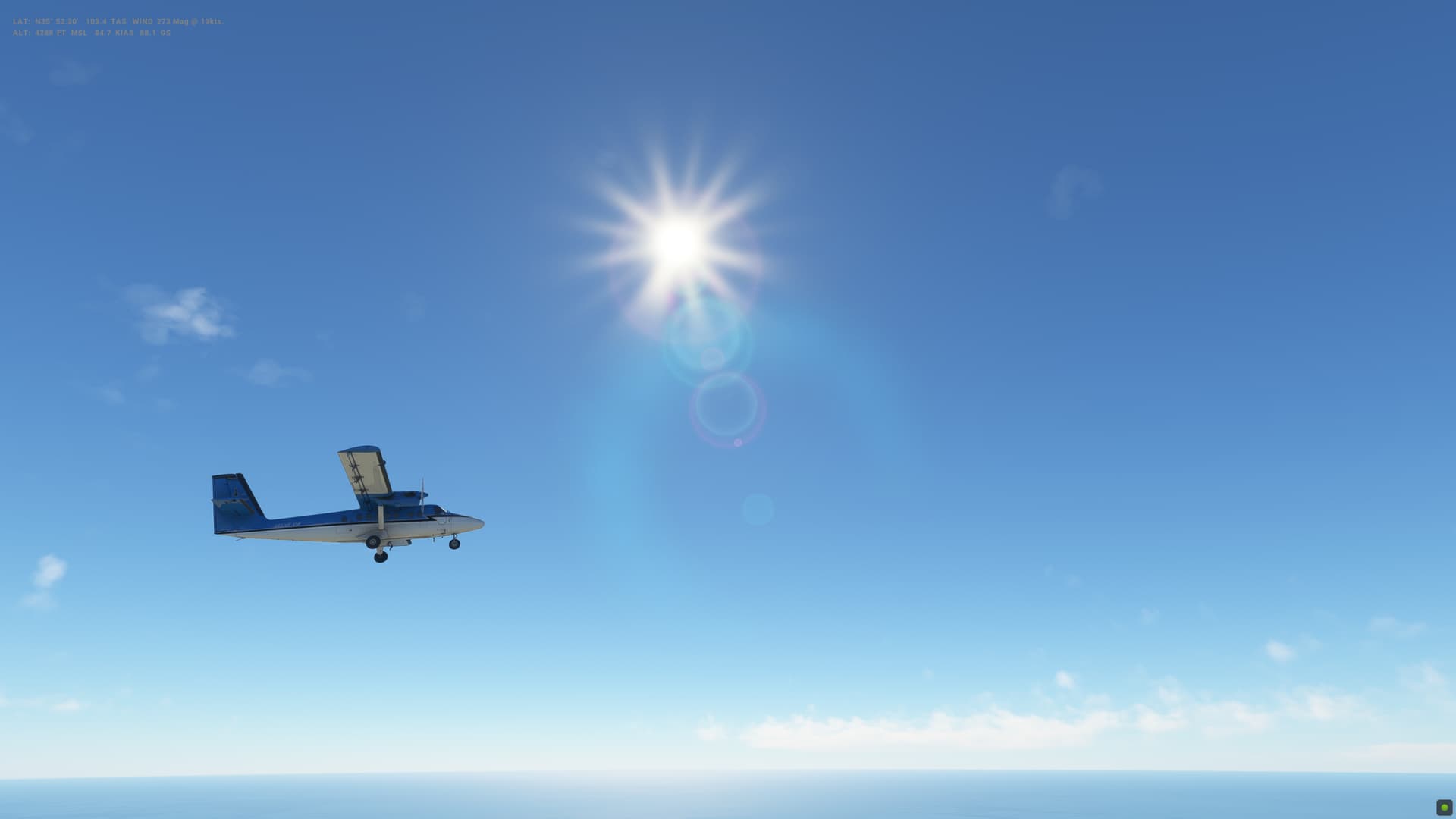
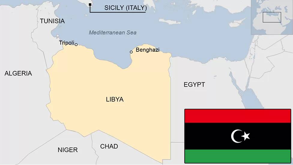
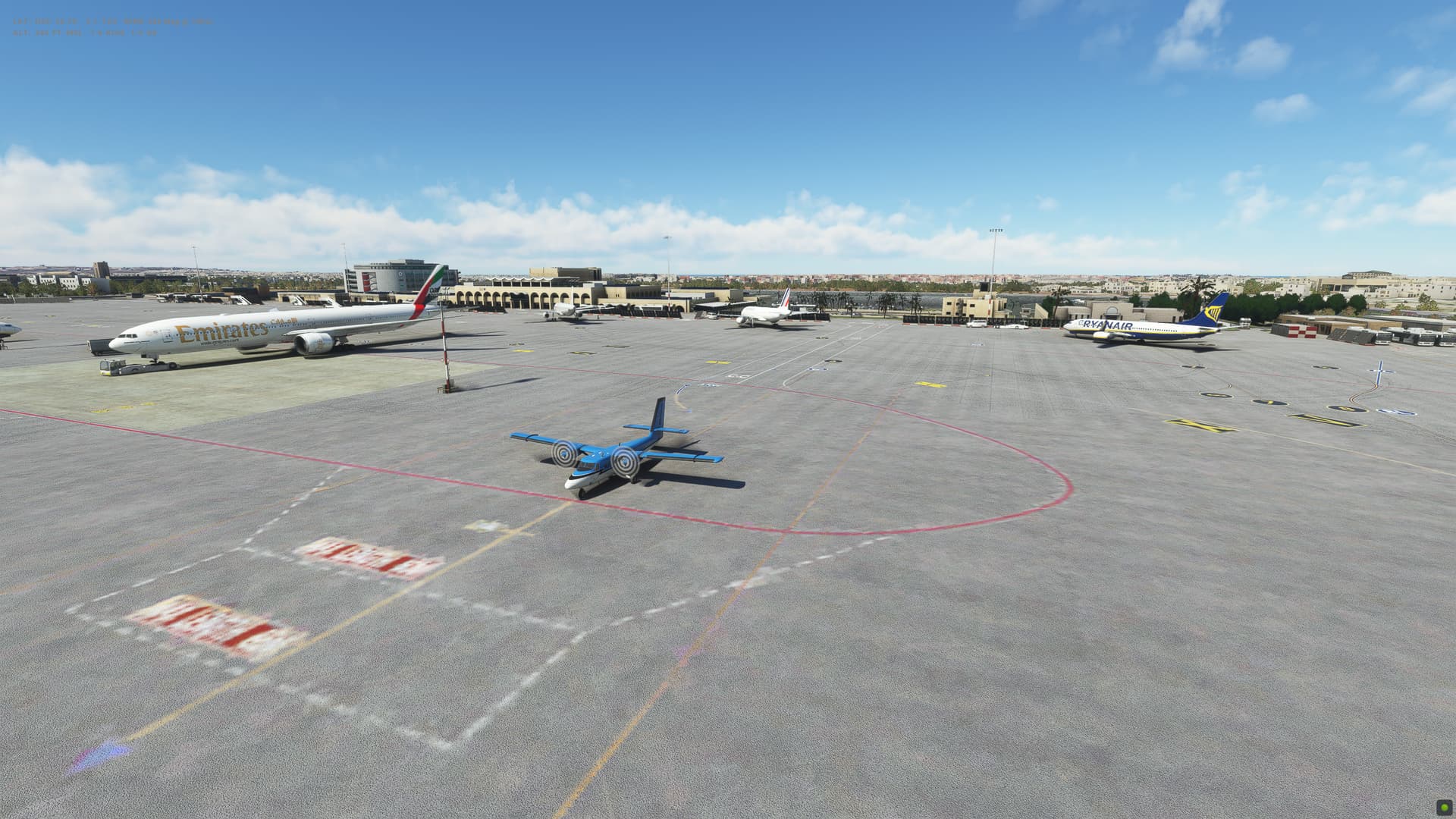
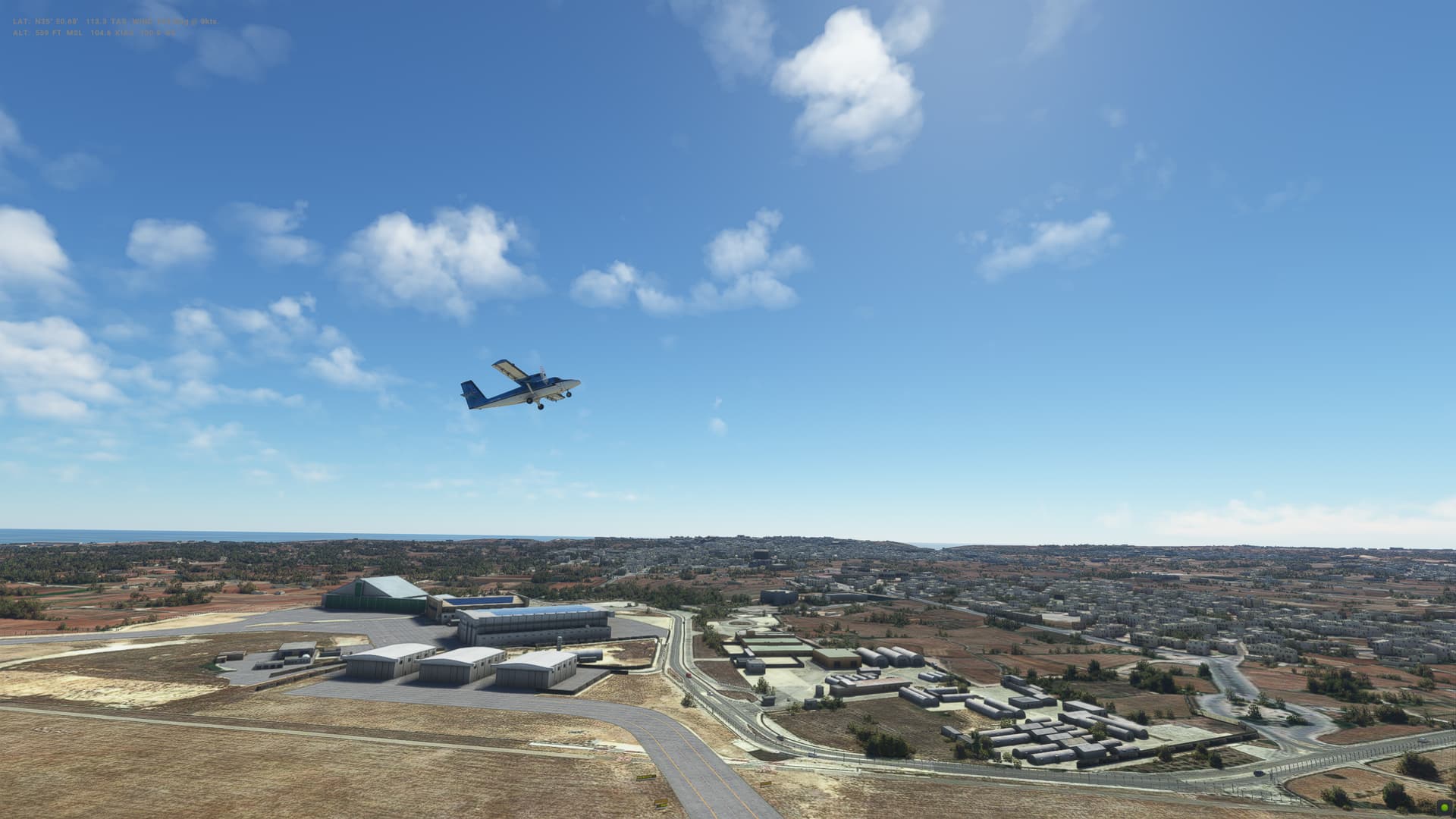
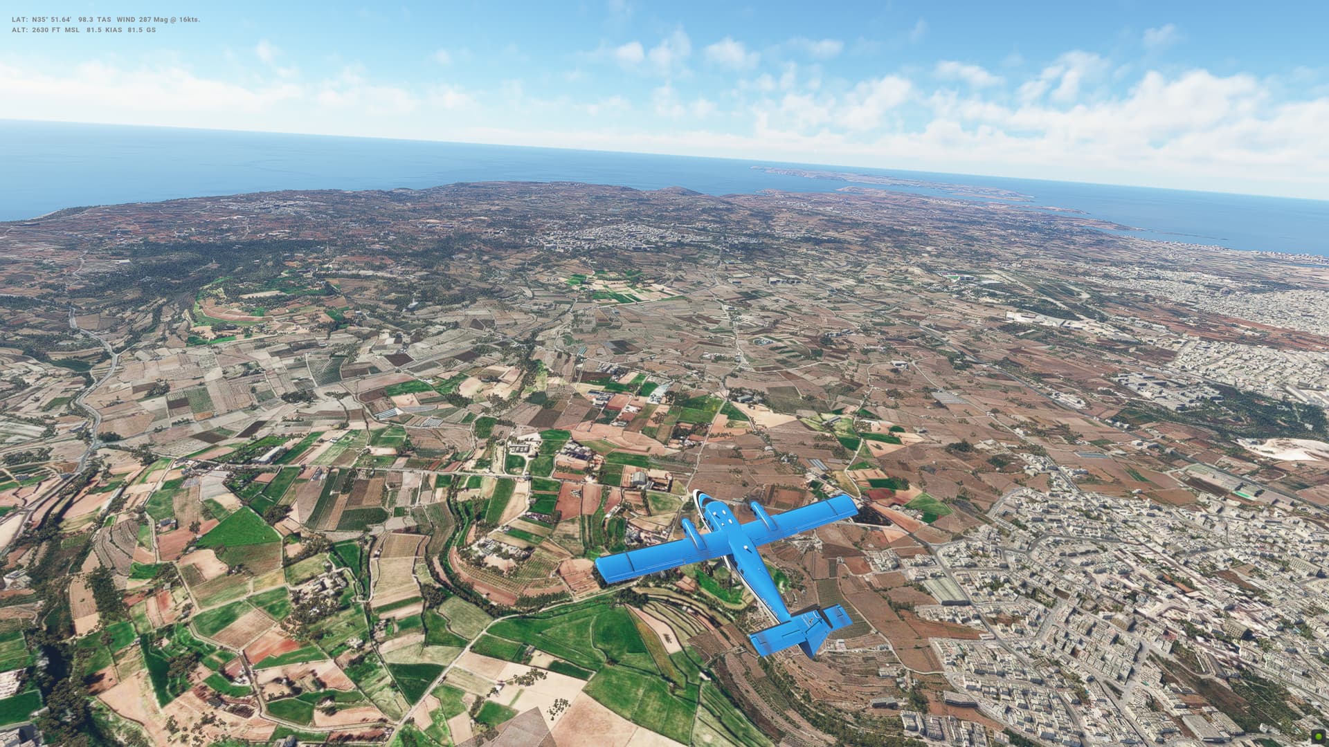
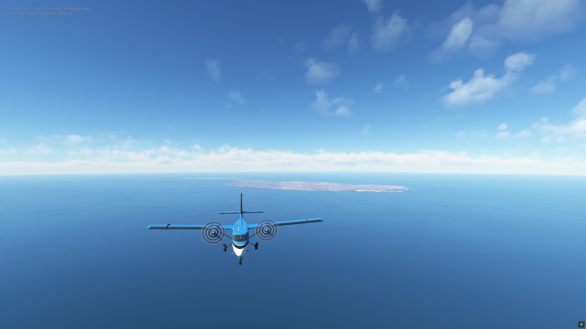
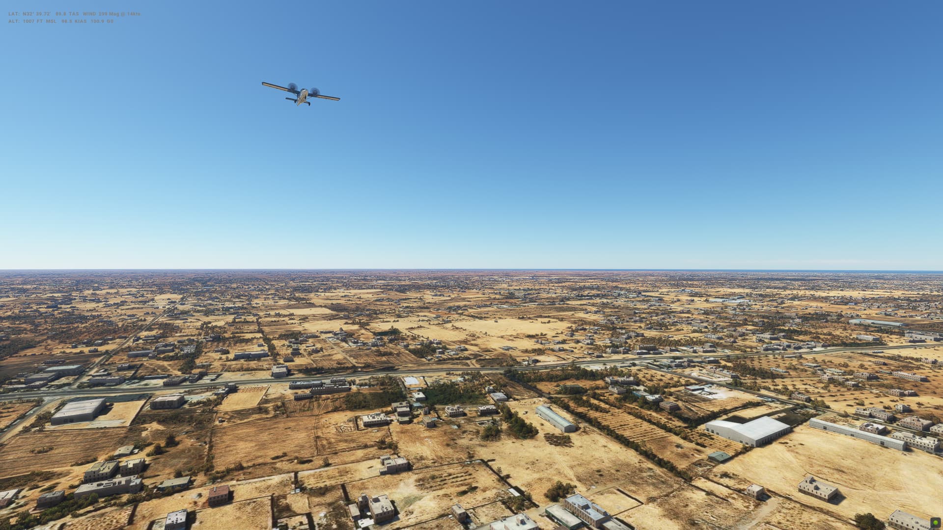
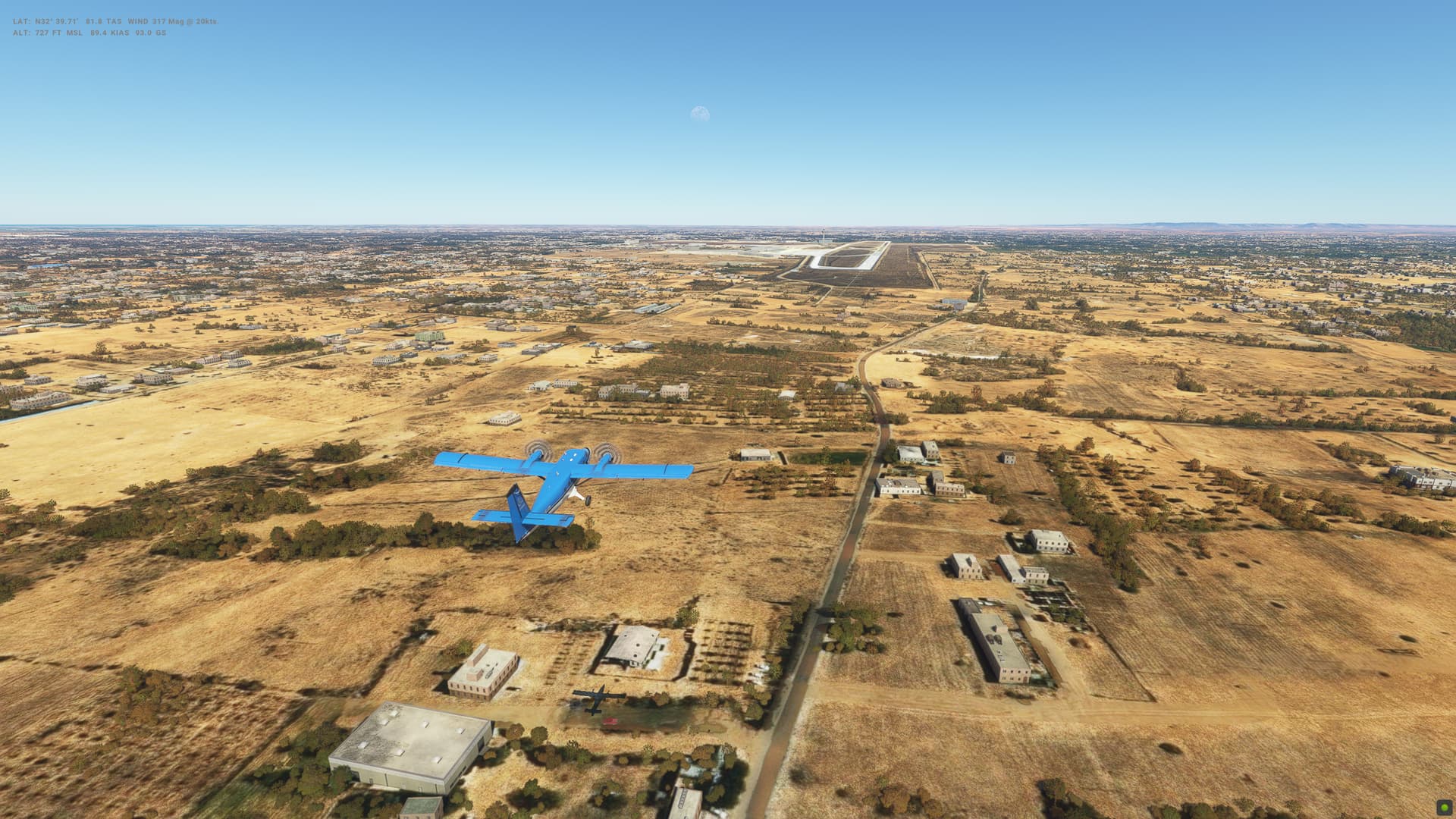
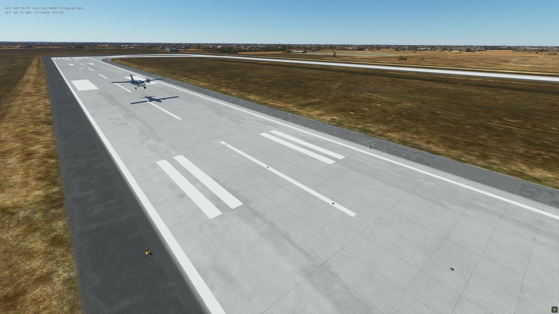
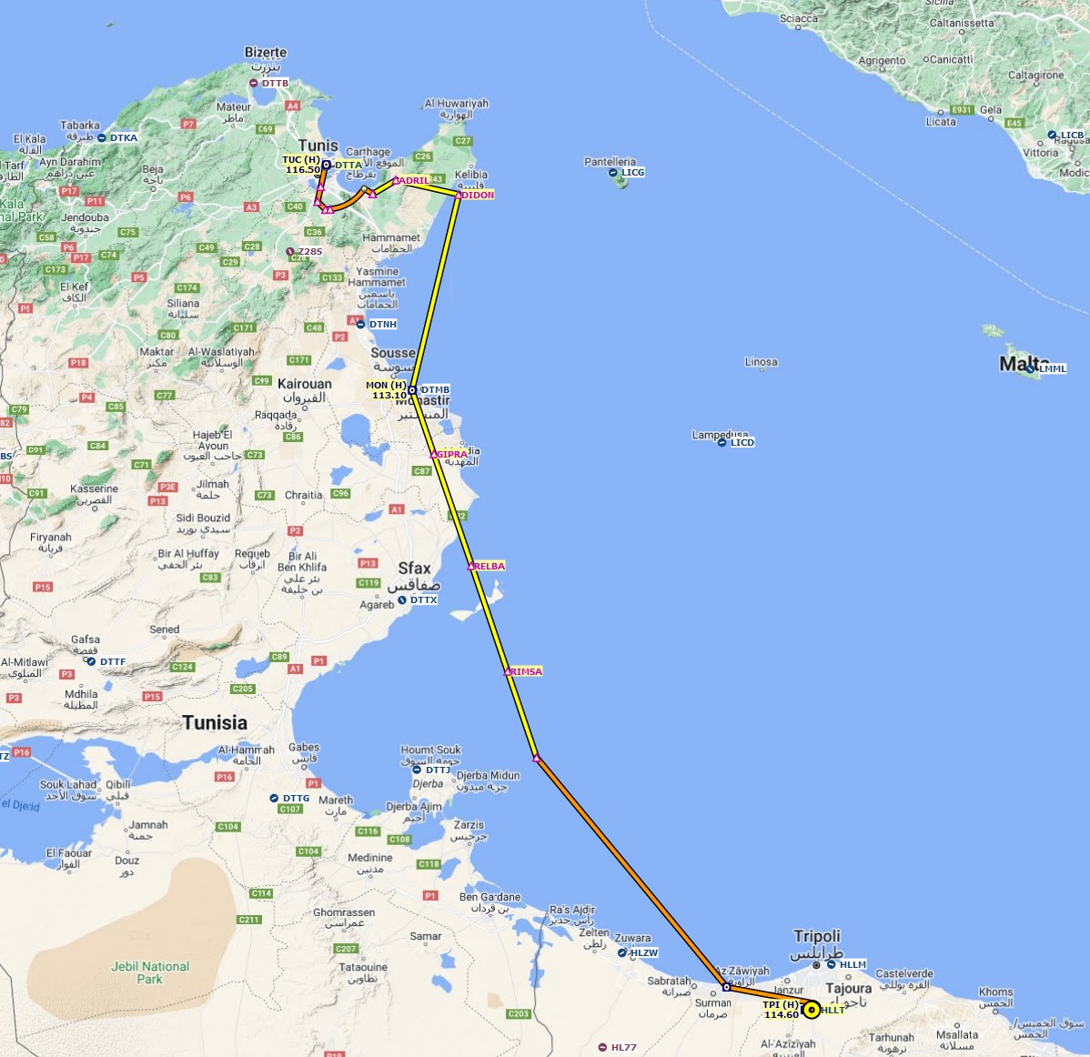
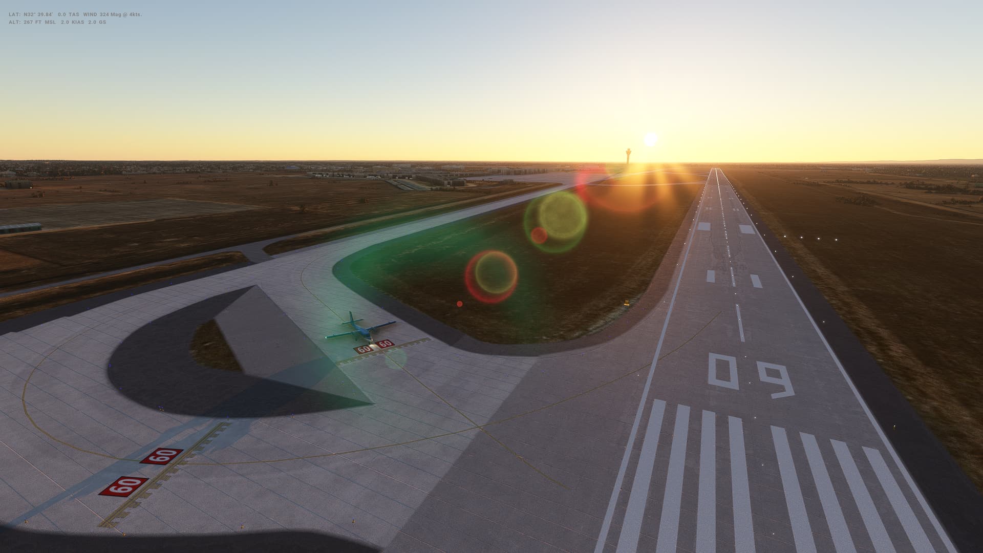
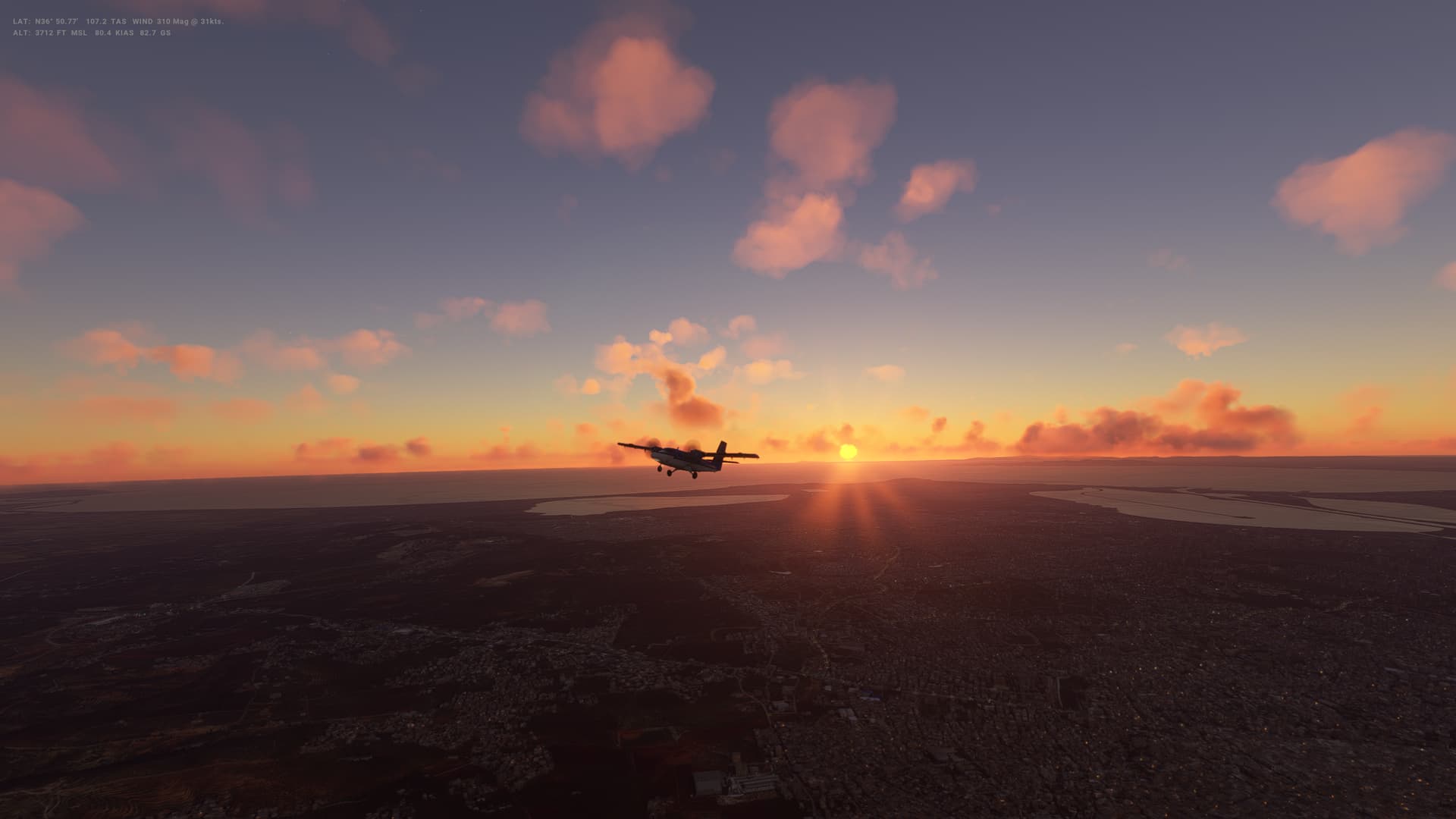
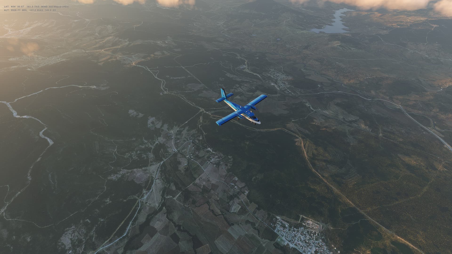
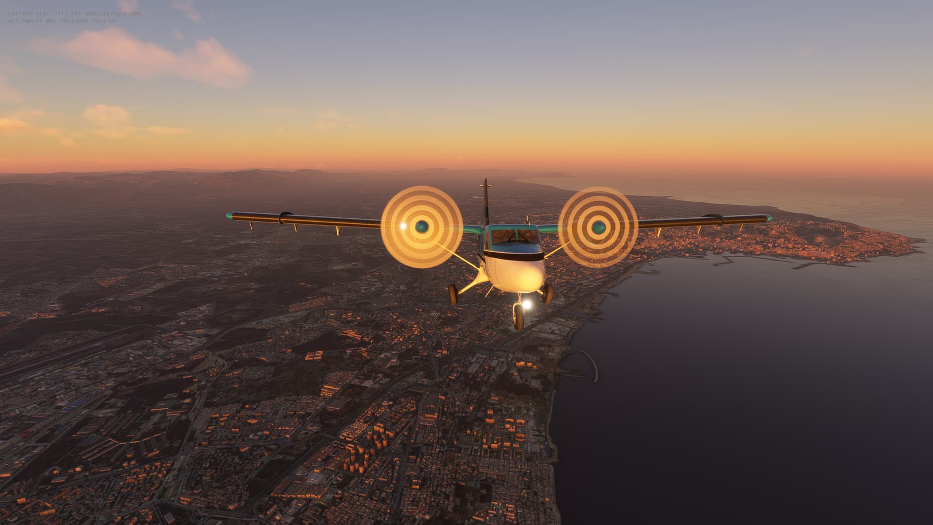
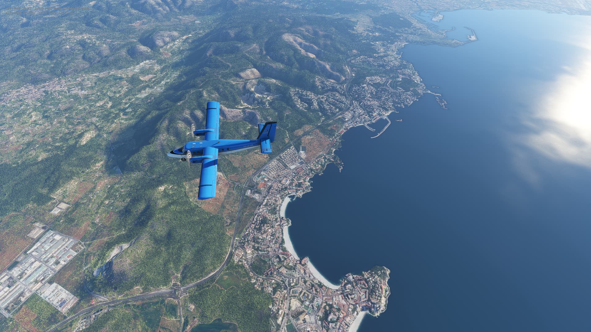
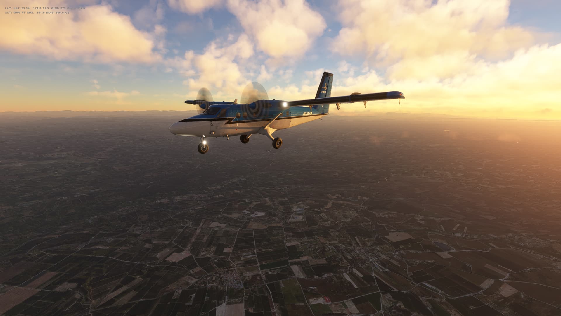
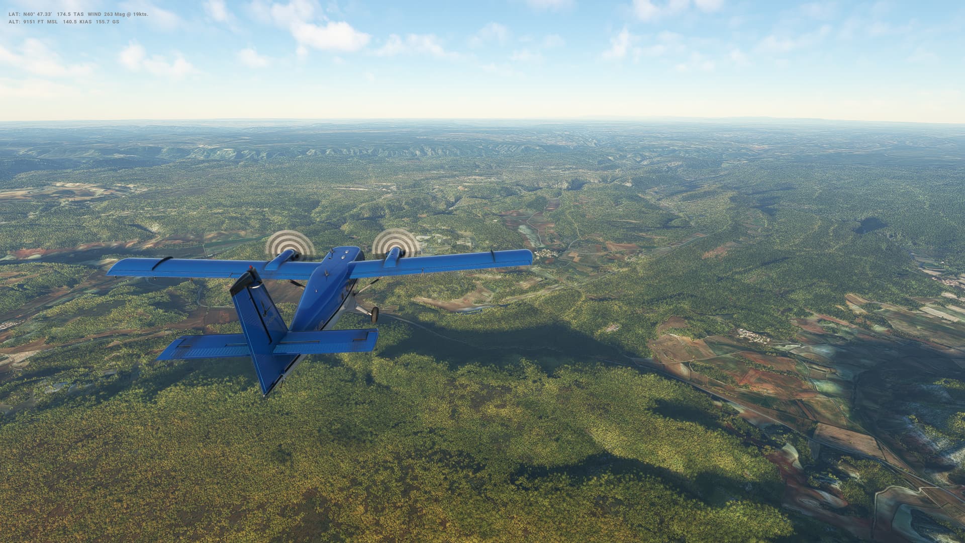
For today’s flight, it is beautiful weather as we head due South from Malta over the Mediterranean to Tripoli in Libya - as we enter a new continent! Hardly a cloud in the sky and so that made my life a lot easier come the landing. Still came in way too low, although touchdown was fine and then a bit of a struggle to stay on the centre of the runway.

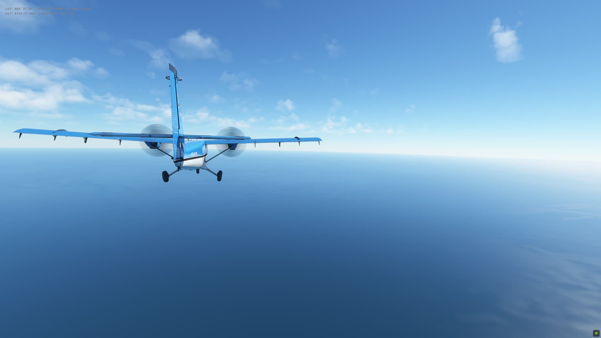
Realistic turbulence setting post SU12 seems to defintiely create more turbulence than previously, and in a plane like this, some iffy live weather might make things very interesting over the next 5 flights.


Libya

  • Capital: Tripoli
  • Area: 1,759,541 sq km
  • Population: 7 million
  • Language: Arabic
  • Life expectancy: 70 years (men) 75 years (women)

Logbook
This Leg Leg 38
Date 01/04/2023
Aircraft Twin Otter
Departure Airport ICAO LMML
Airport Malta International Airport
Capital City Valletta
Country Malta
Runway 31
Arrival Airport ICAO HLLT
Airport Tripoli International Airport
Capital City Tripoli
Country Libyan Arab Jamahiriya
Runway 9
Actual Time (Local) Pushback Time 10:00
Take Off Time 10:09
Touchdown Time 11:13
Arrival Time 11:15
Air time 01:04
Total Time 01:15
Ground Distance (Nm) 252
Air Distance (Nm) 258
Great Circle Distance (Nm) 203
Fuel Start (Kgs) 1,003
Fuel End (Kgs) 510
Fuel Used (Kgs) 493
SID SUDIK2D
Route LMML/31 SUDIK2D SUDIK T299 VARIG VARIG1A HLLT/09
STAR VARIG1A
Approach NDB/VOR 09
Passengers 16
Cargo (000 Kgs) 0
Take Off Weight (000 Kgs) 5.7
Cruising Altitude (feet) 8,000
Cumulative Ground Distance (Nm) 11,242
Air Distance (Nm) 11,141
Great Circle Distance (Nm) 8,746
Total air time 19:41
Total time 02:04:09
Fuel Used (Kgs) 92,607

Flightplan:

IFR (LMML) to (HLLT).lnmpln (1.2 KB)

Timelapse Video

Screenshots

Take Off


Cruise


Landing


Overall route so far

UTDD UTTT UCFM UACC UTAA OIII UBBB UGTB UDYZ ORBI OKBK OBBI OOMS OMAA OTHH OERK OJAI LLBG OSDI OLBA LCEN LTAC LRBS LBSF LWSK BKPR LATI LYPG LQSA LYBE LHBP LZIB LOWW LDZA LJLJ LIPR LIRE LMML HLLT

1 Like

Leg 39: Tripoli (HLLT), Libya to Tunis (DTTA), Tunisia


Summary

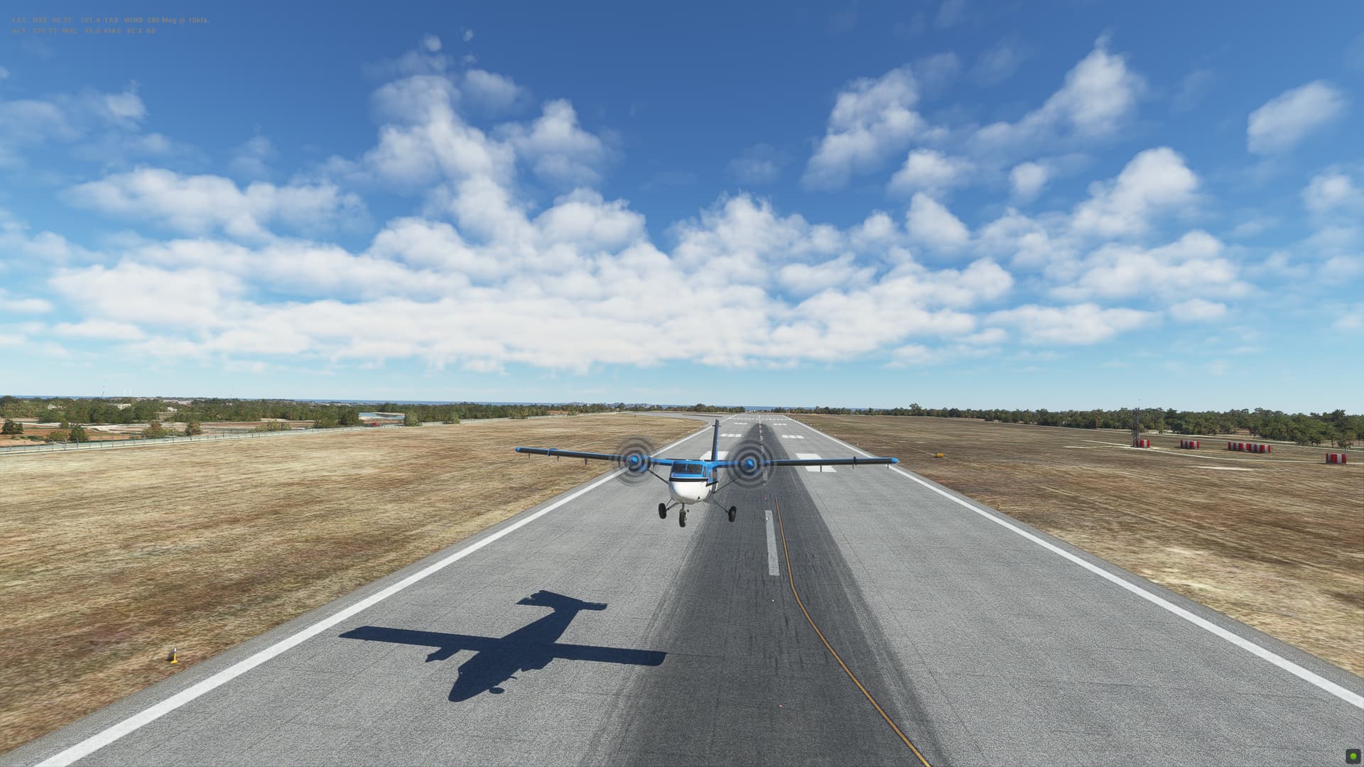
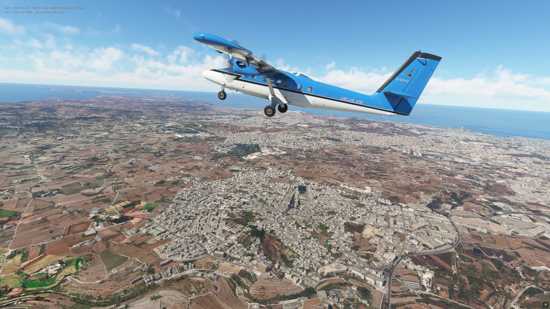
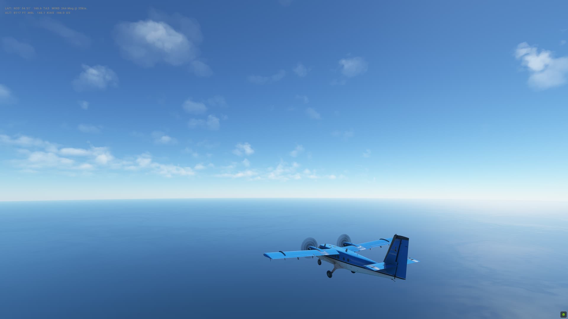
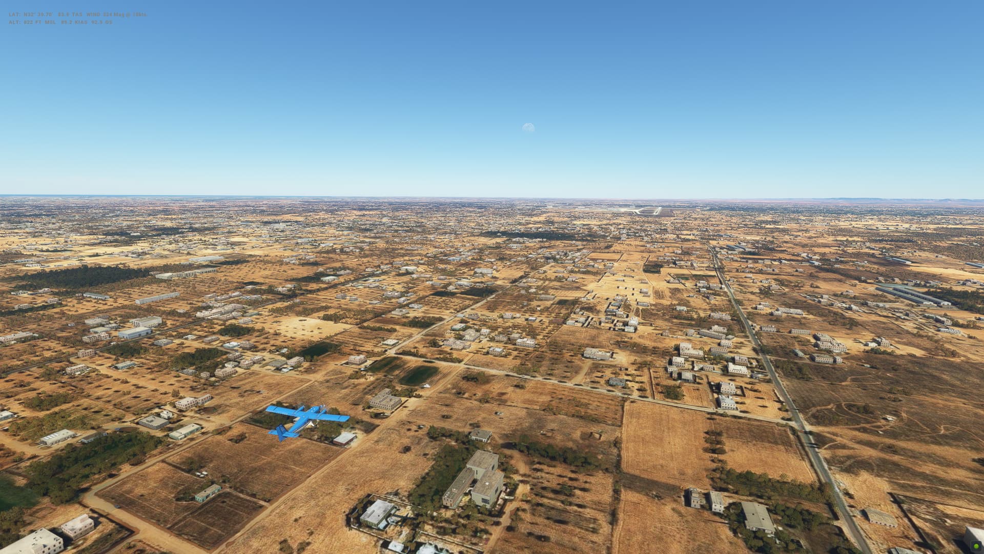
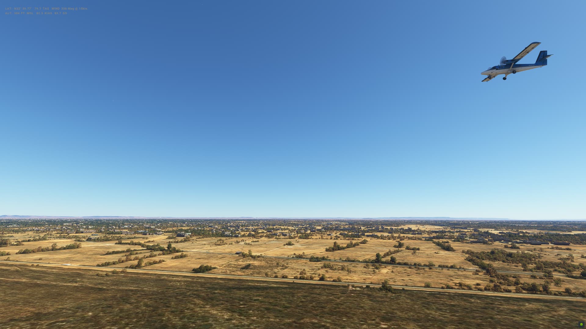
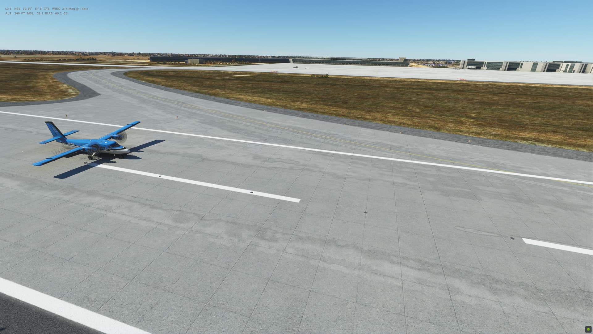
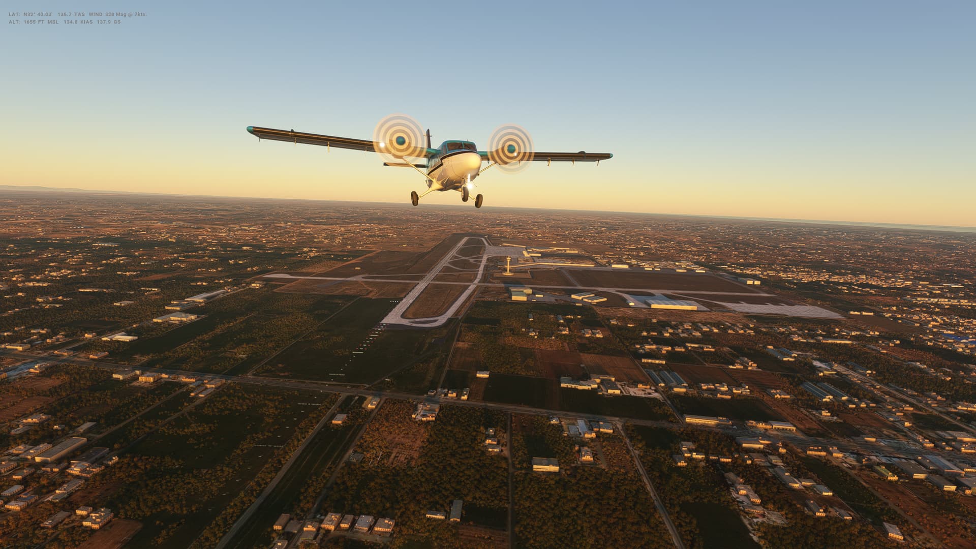
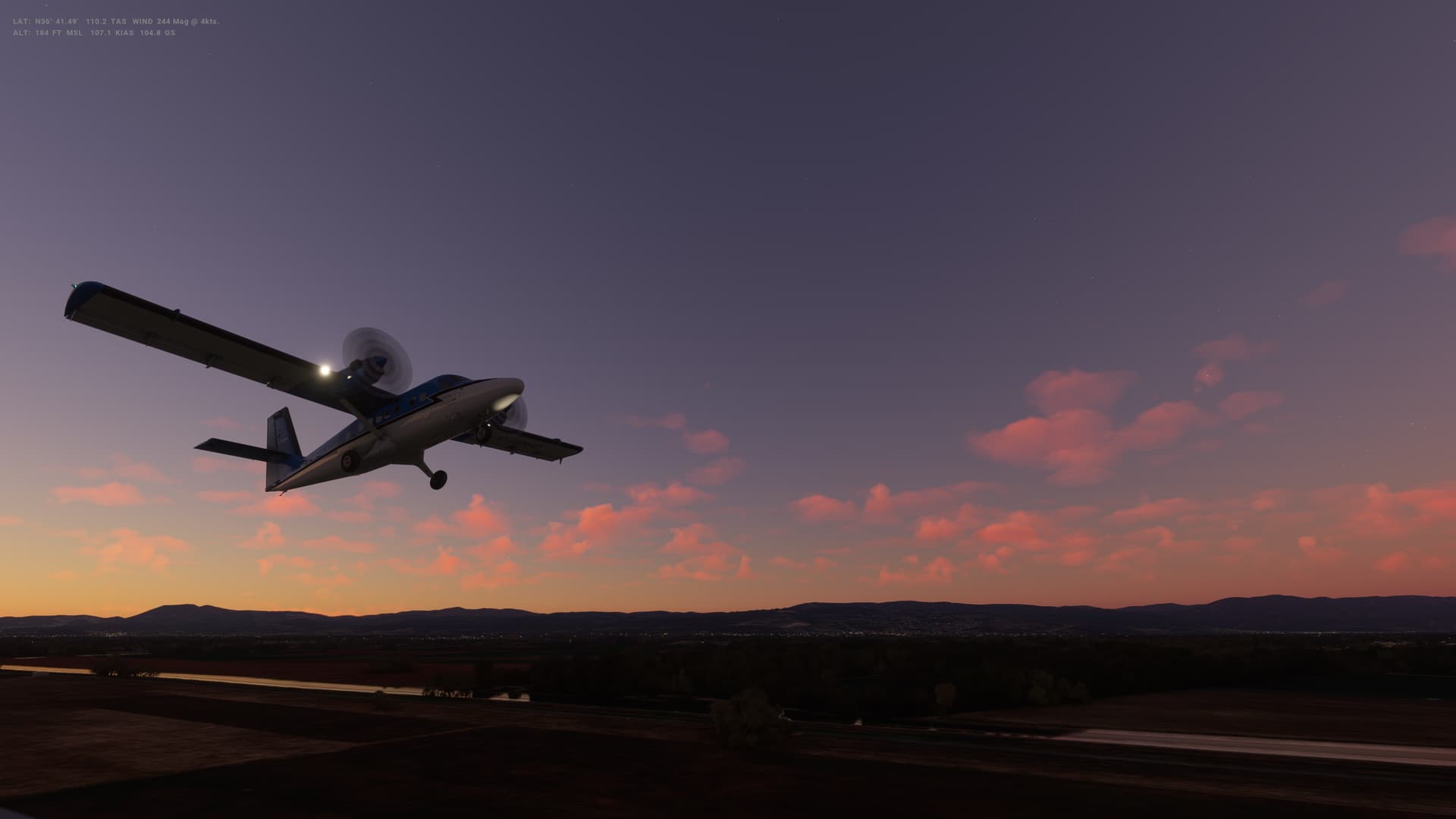
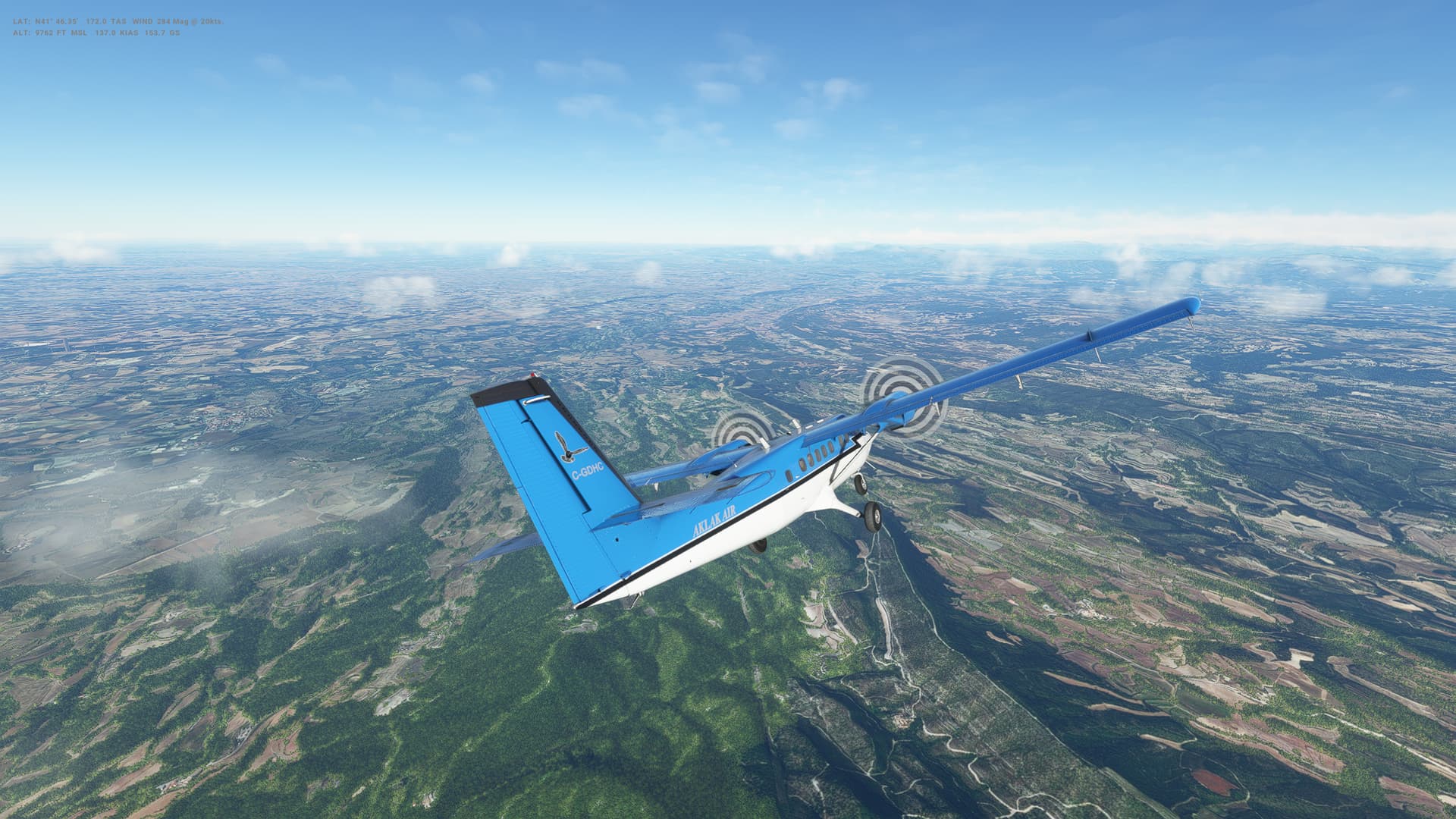
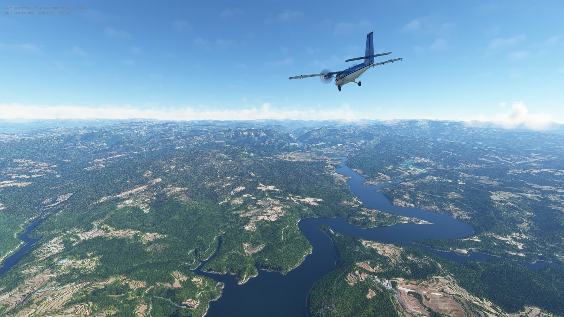
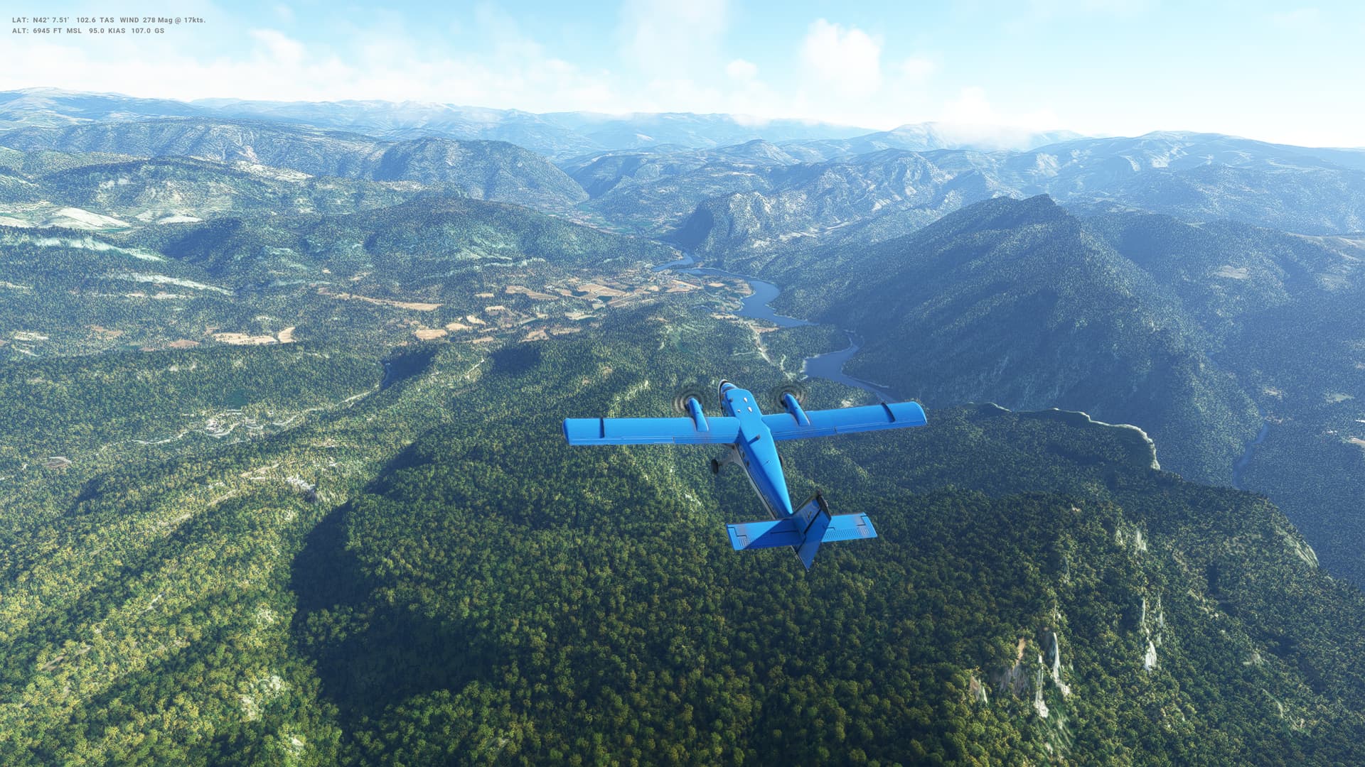
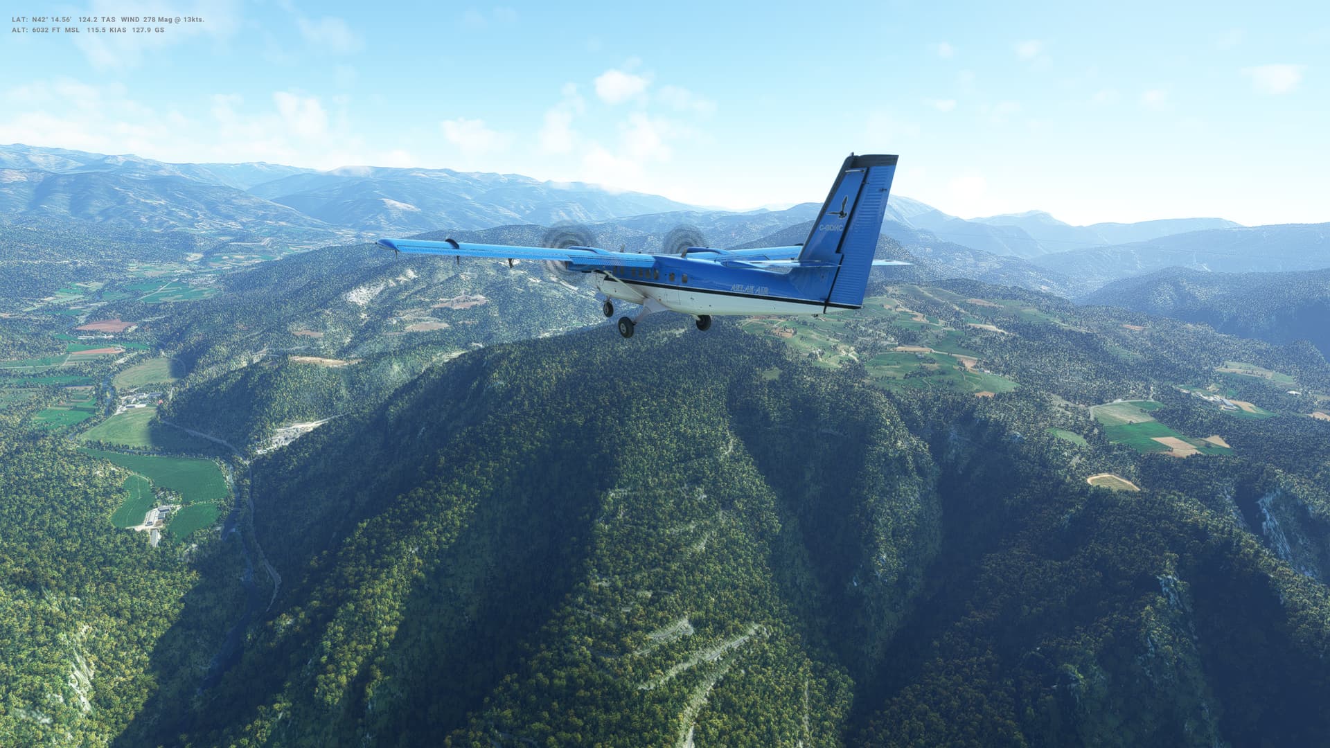
Flight number 2 in the Twin Otter, and after some more practice, definitely an improved landing, although I came in very slow, pulled on the reversers and basically stopped dead on the runway! Still a little wobbly and I find it has a tendency to lean heavily on landing - something more to work on.

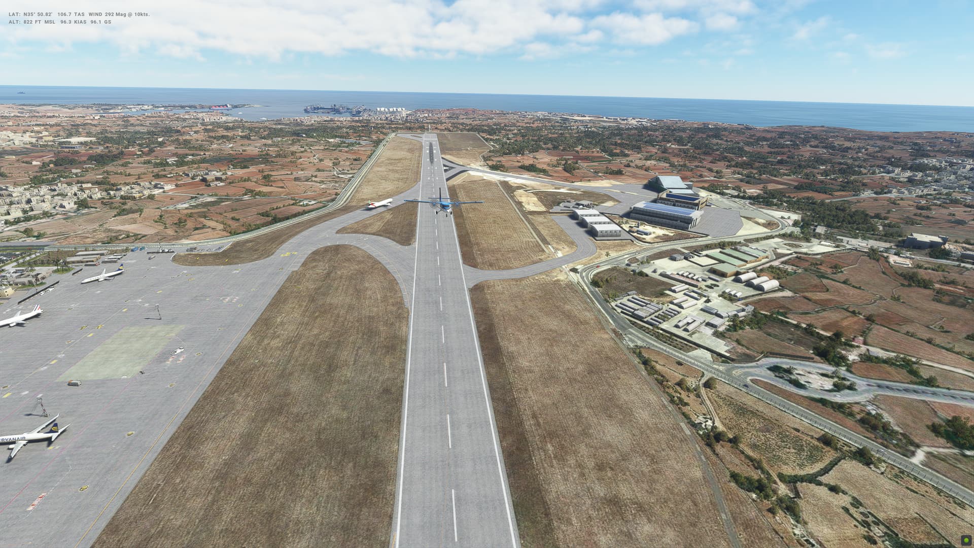
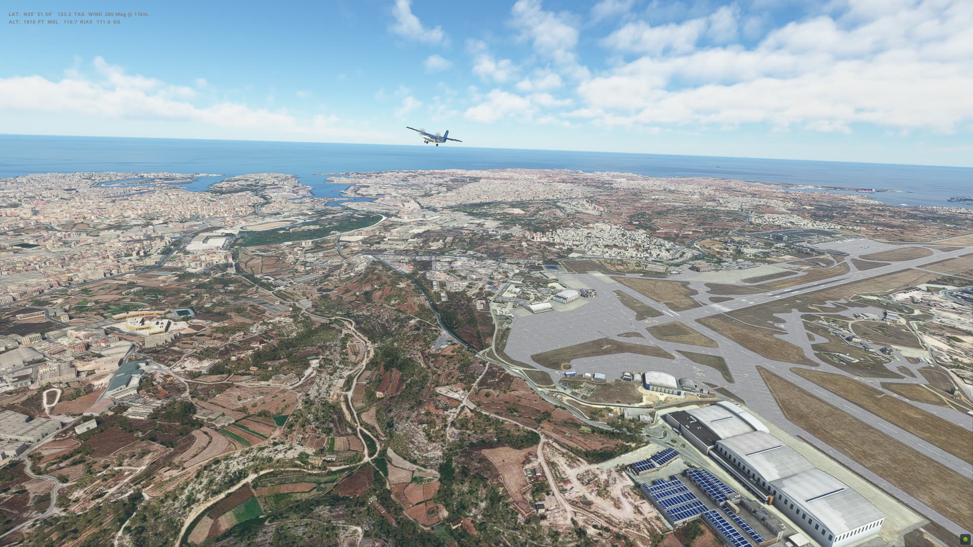
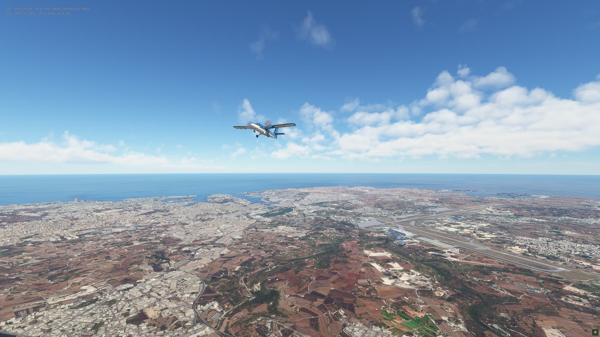
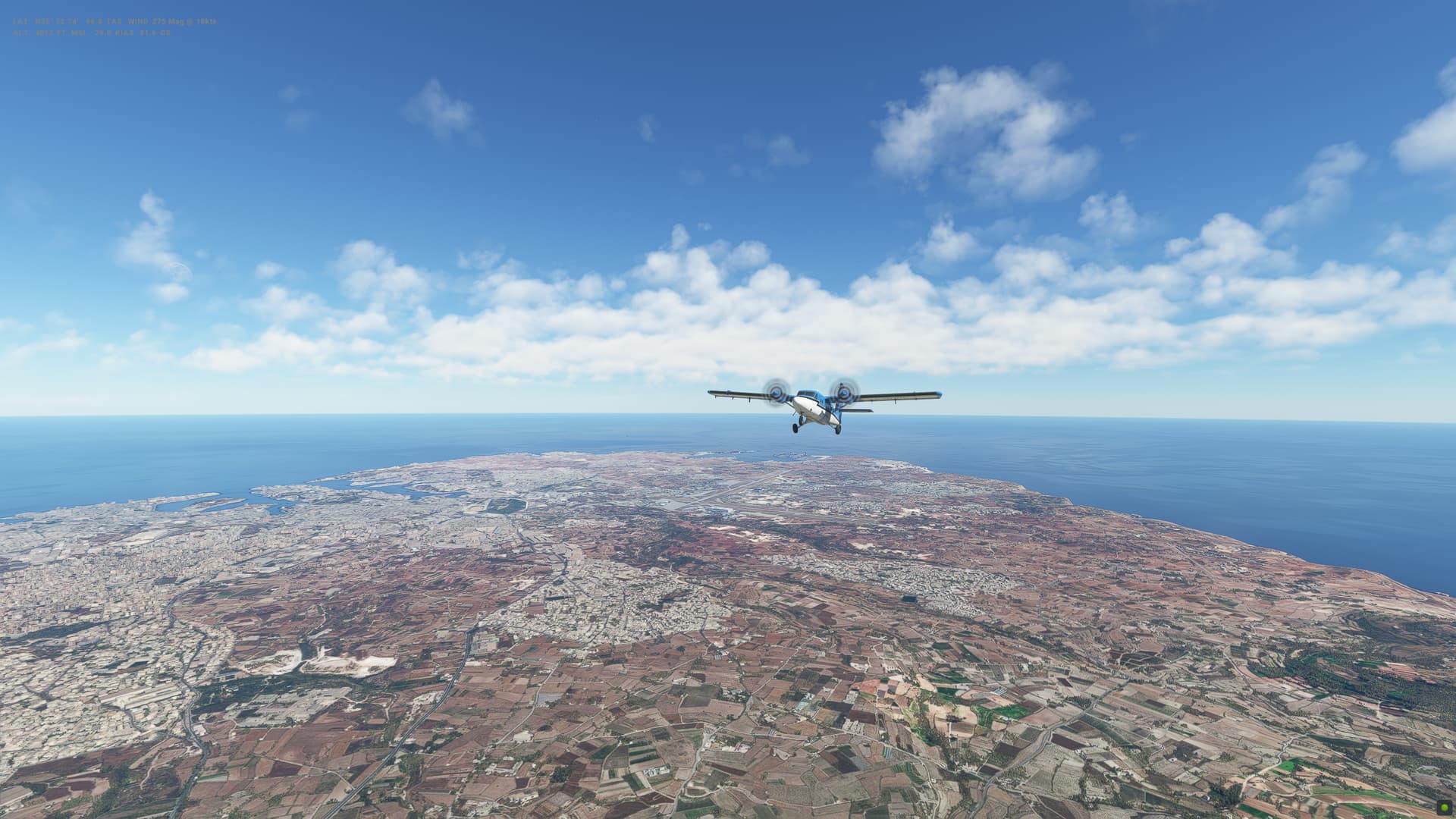
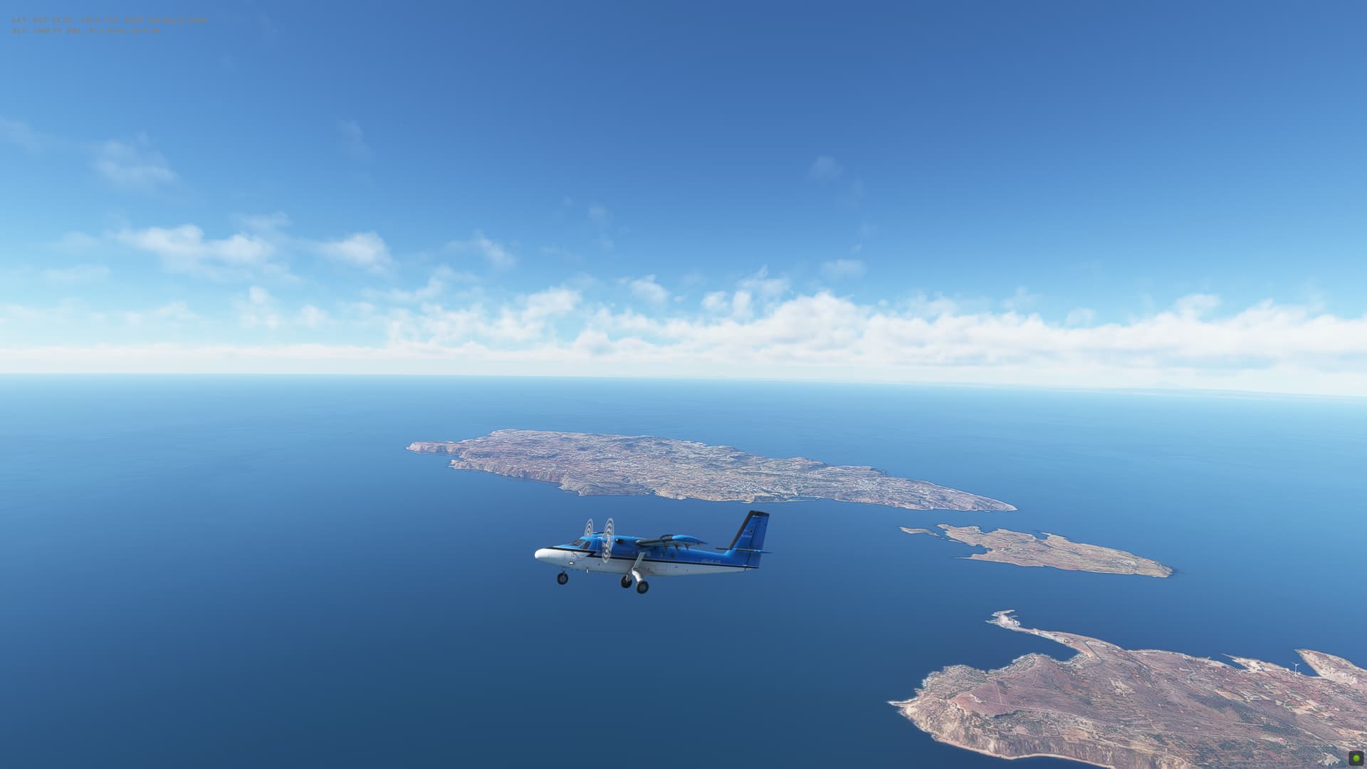
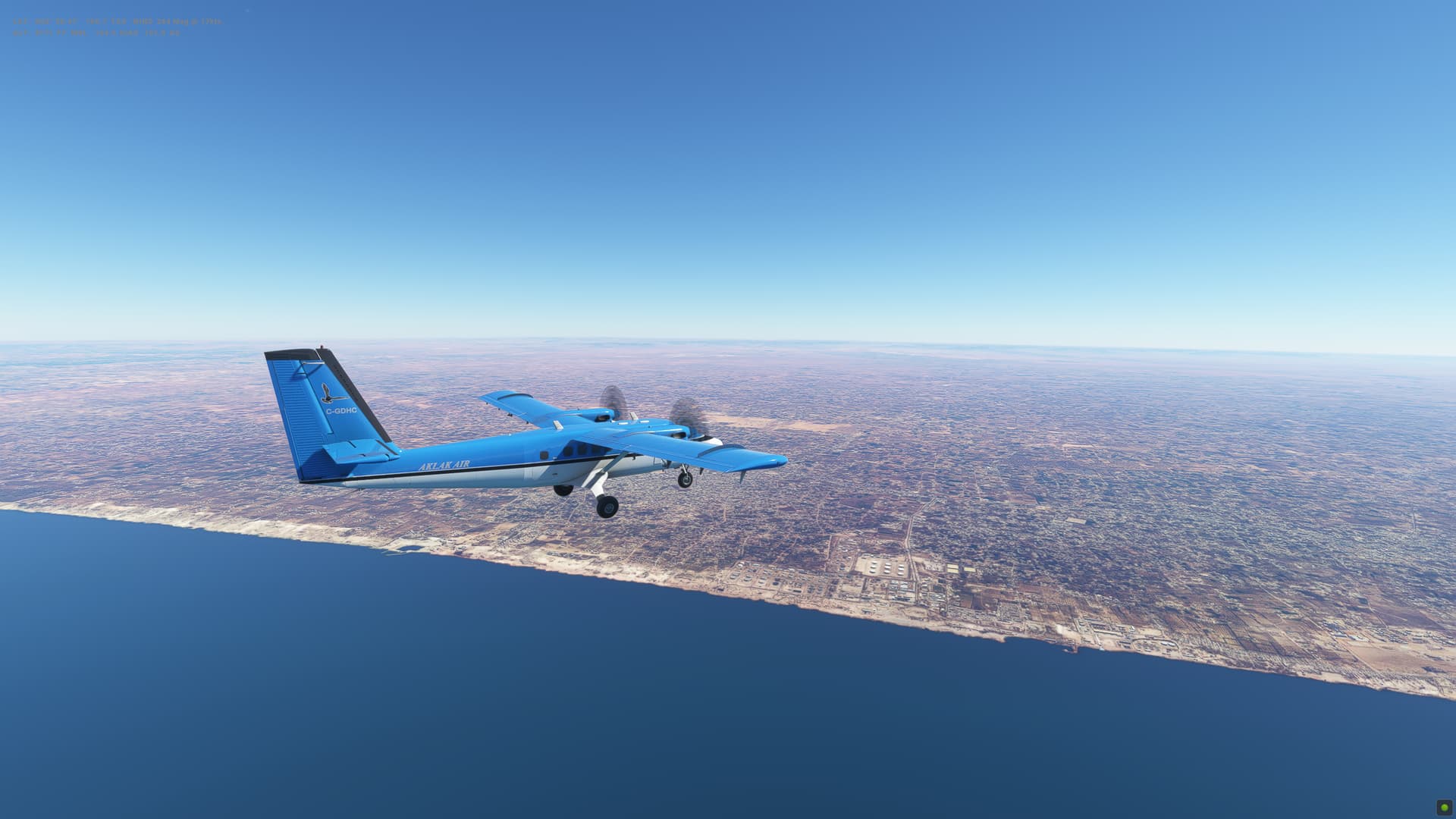
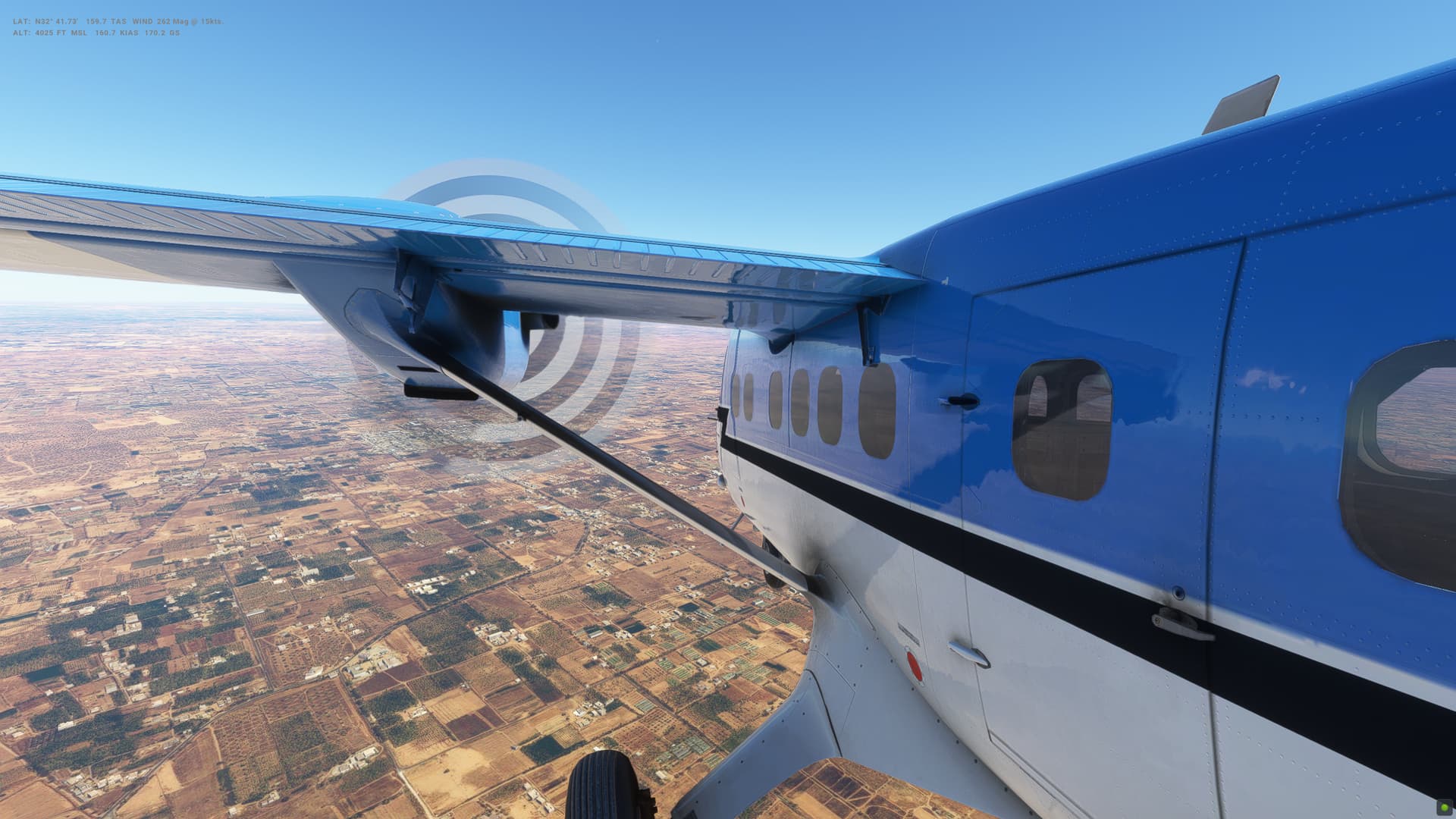
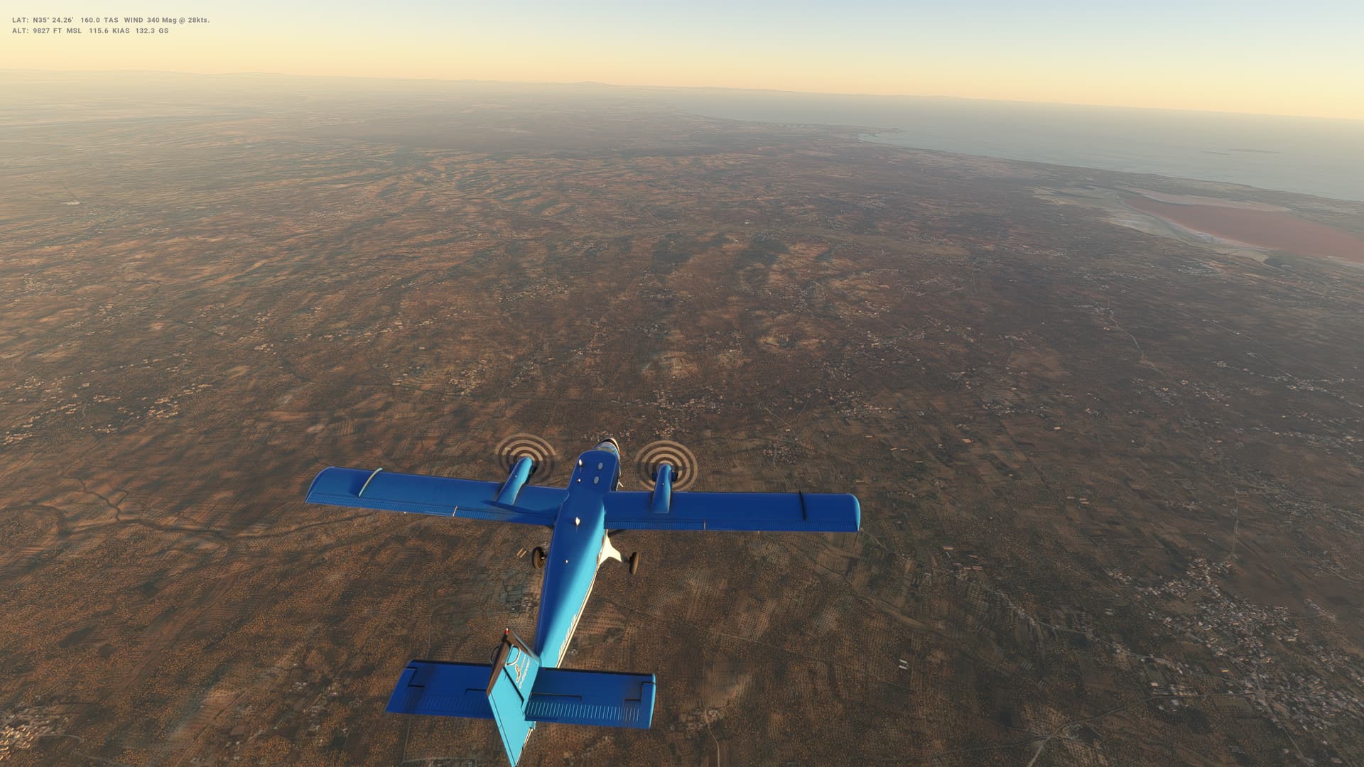
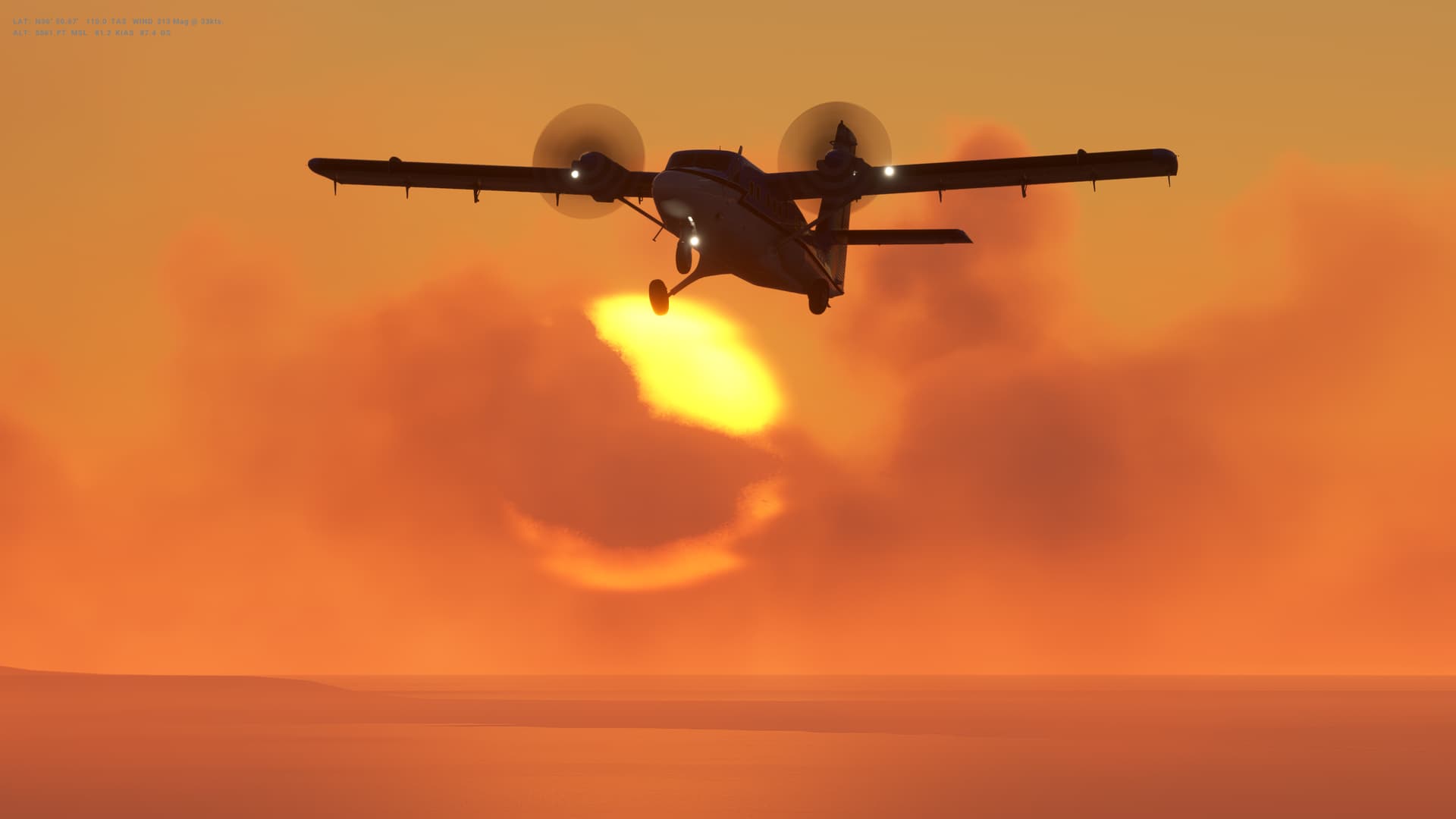
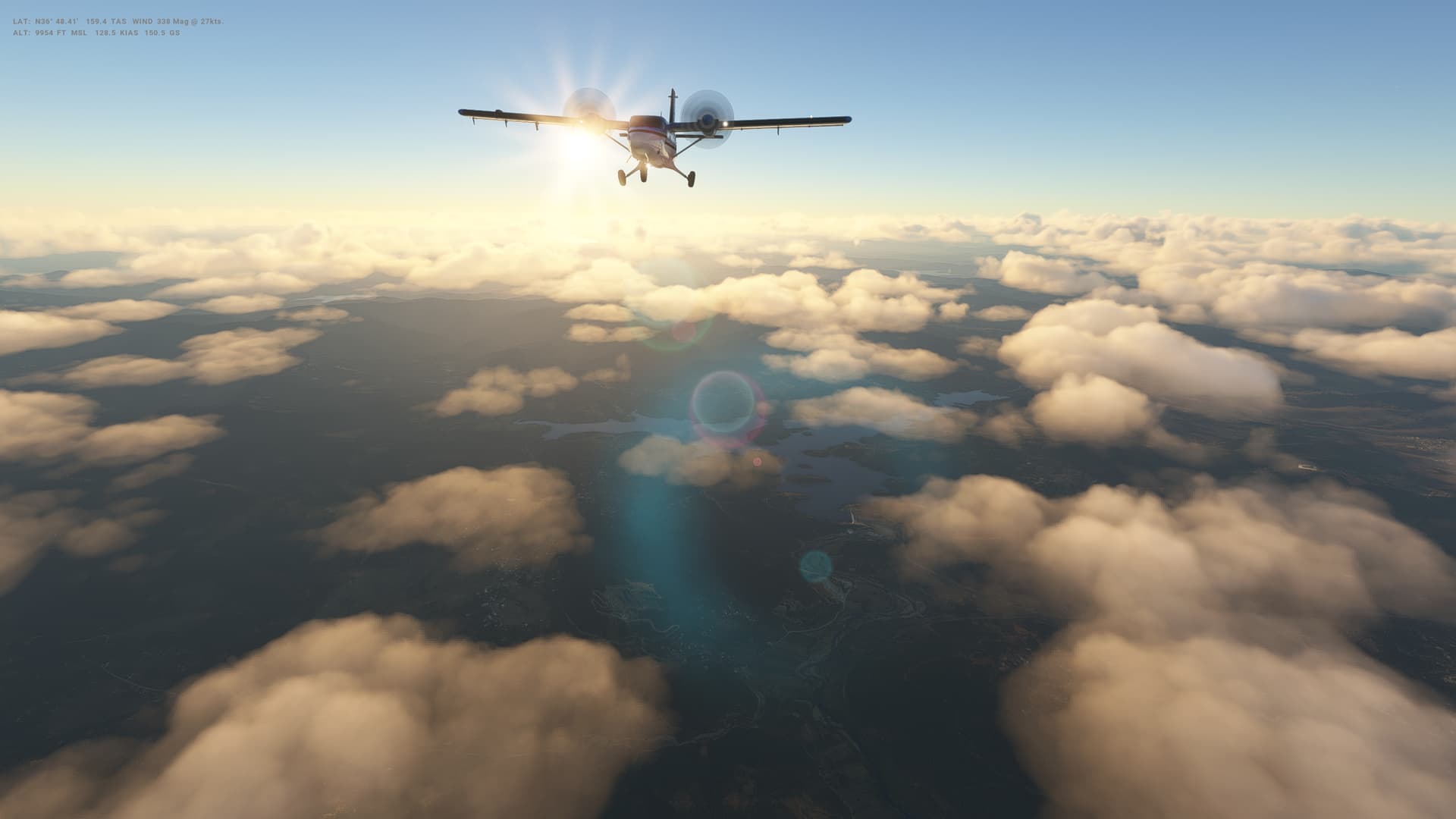
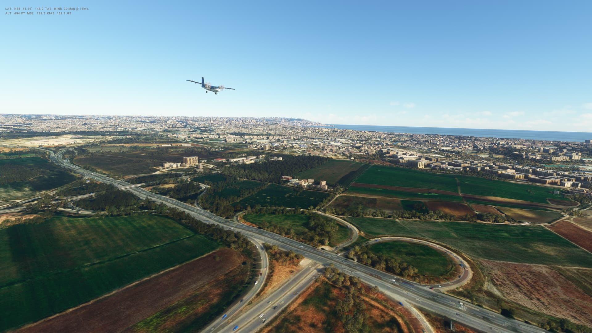
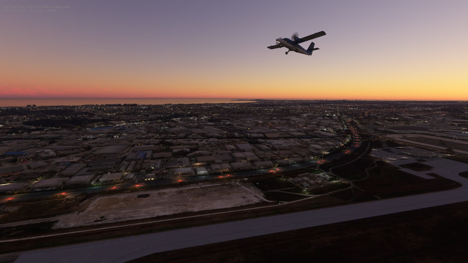
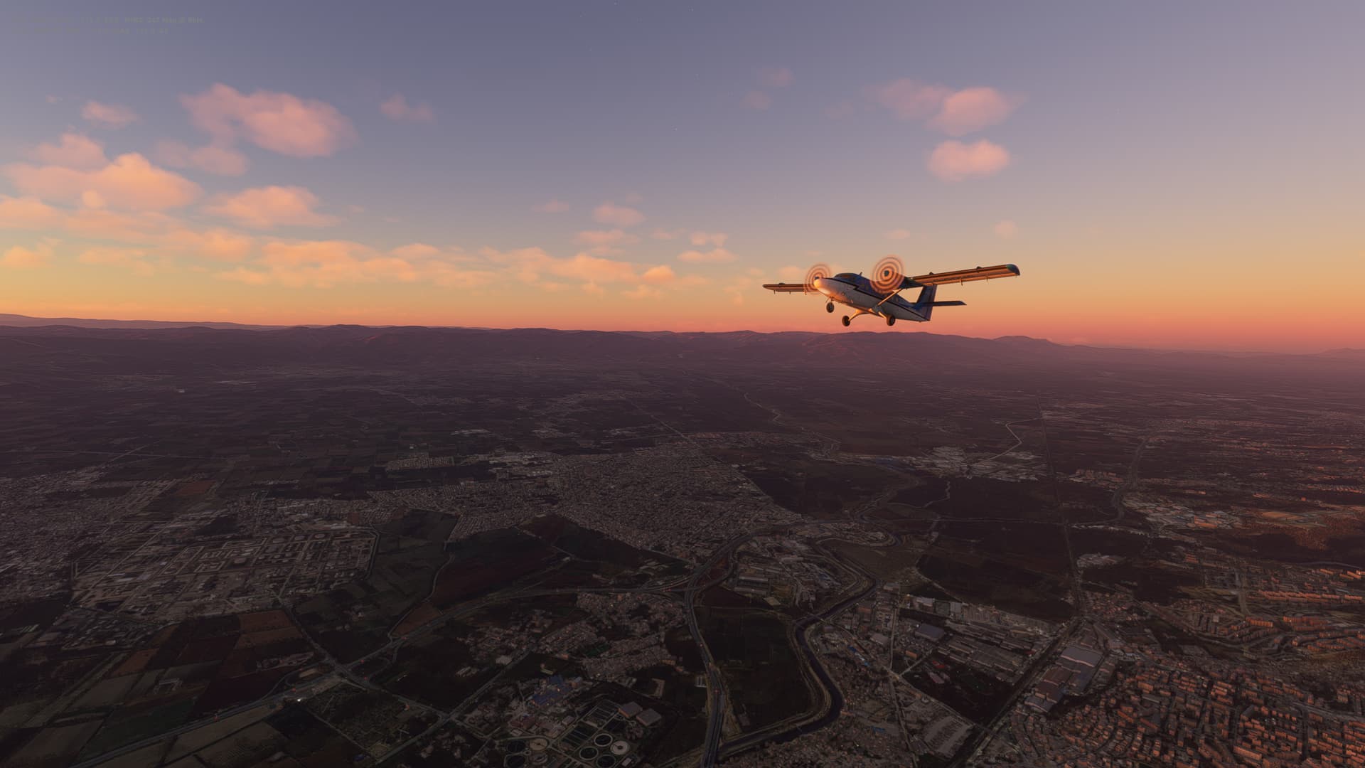
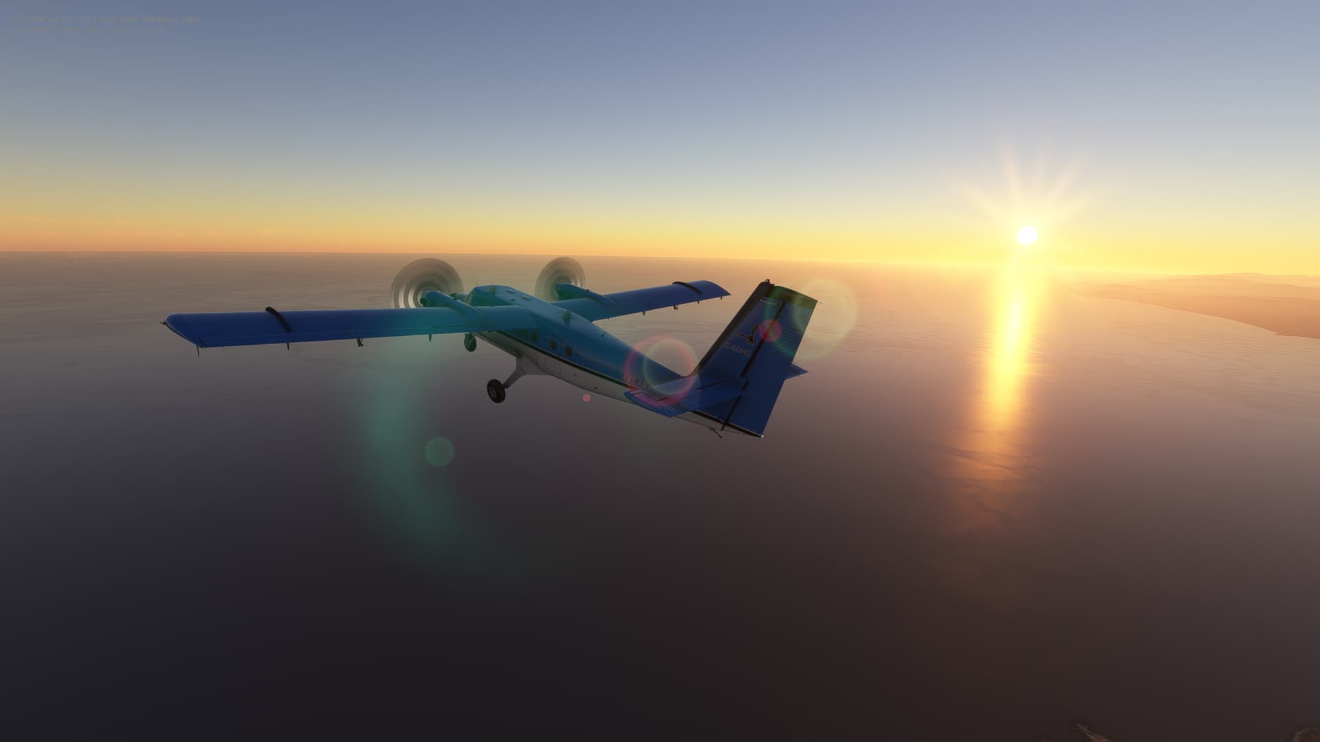
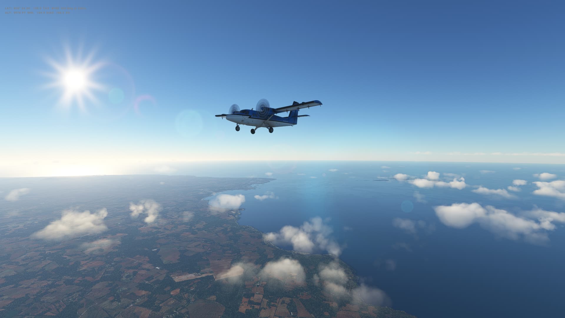
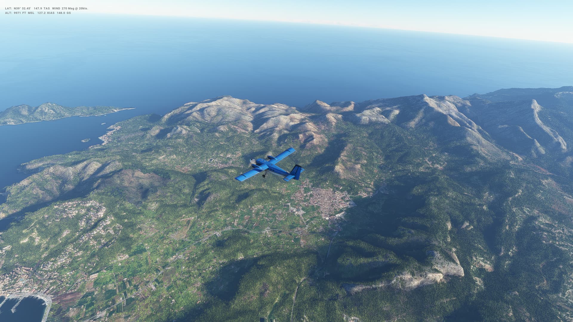
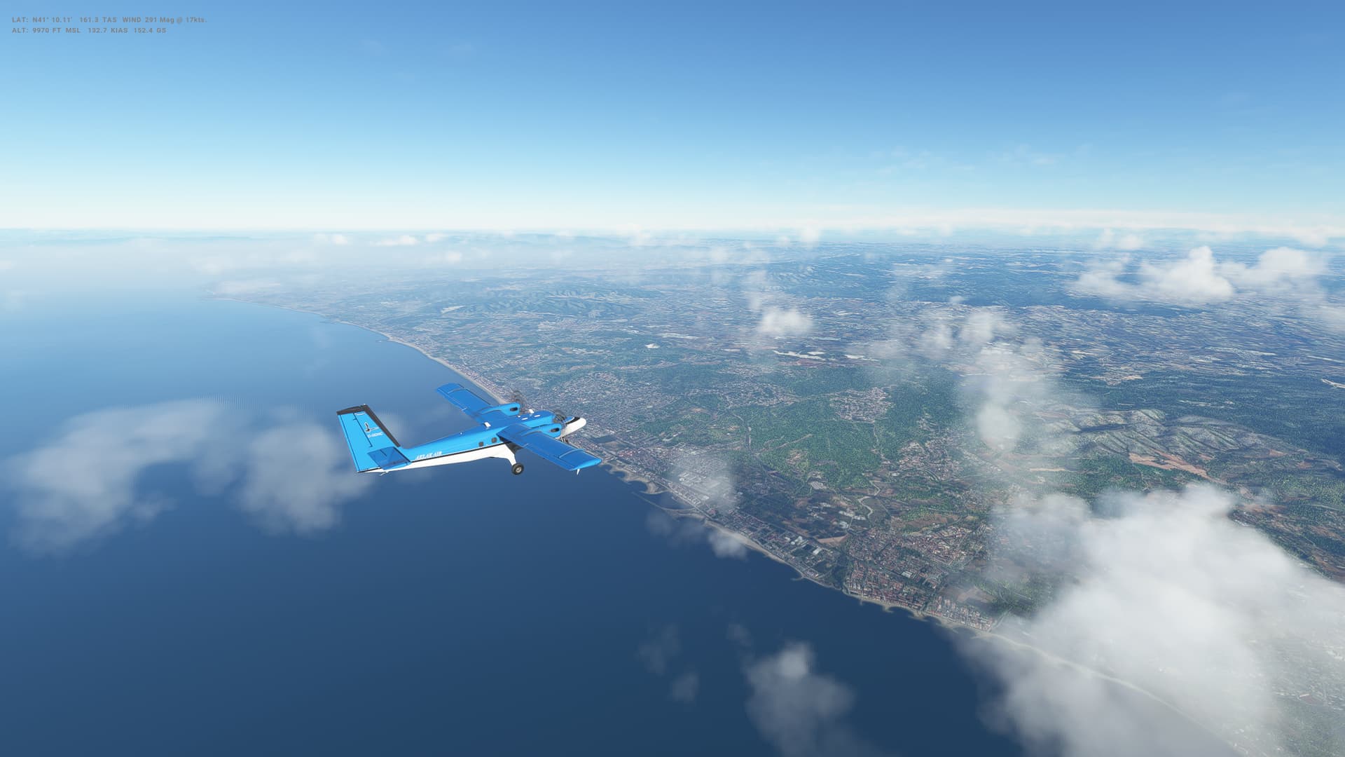
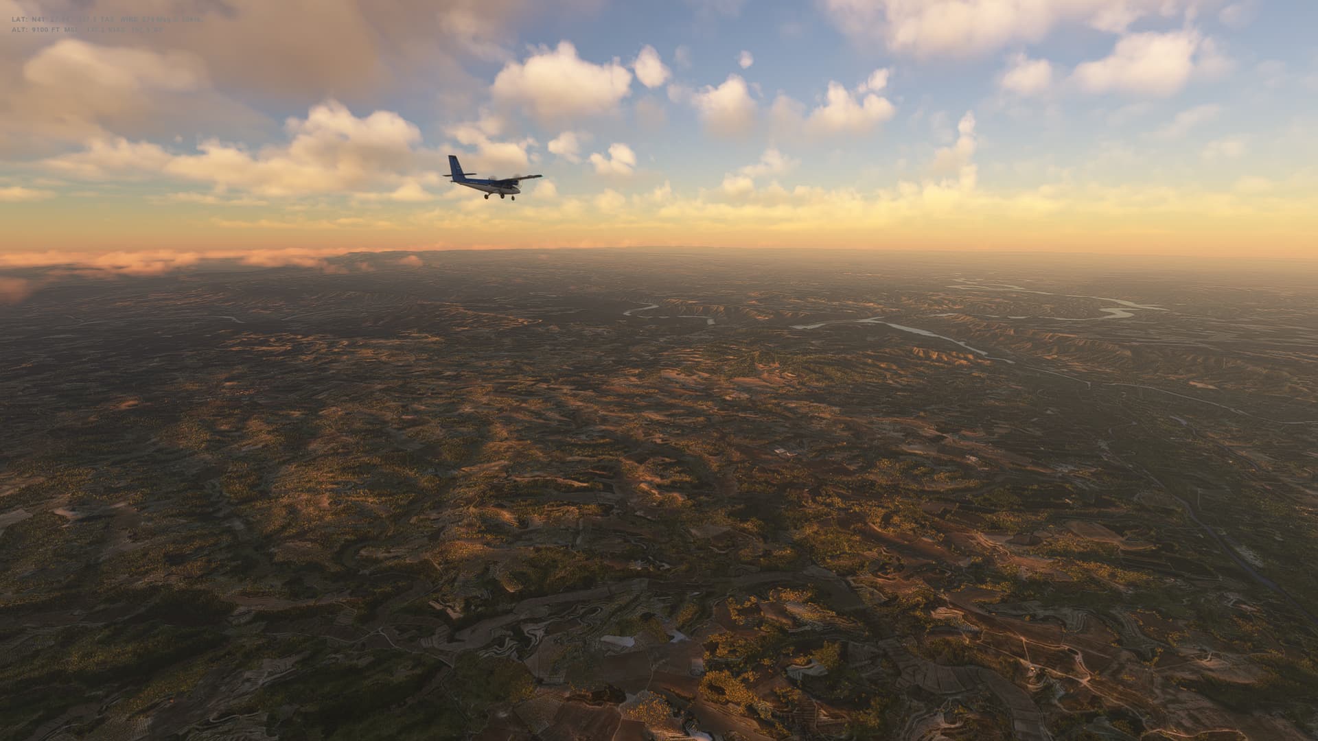
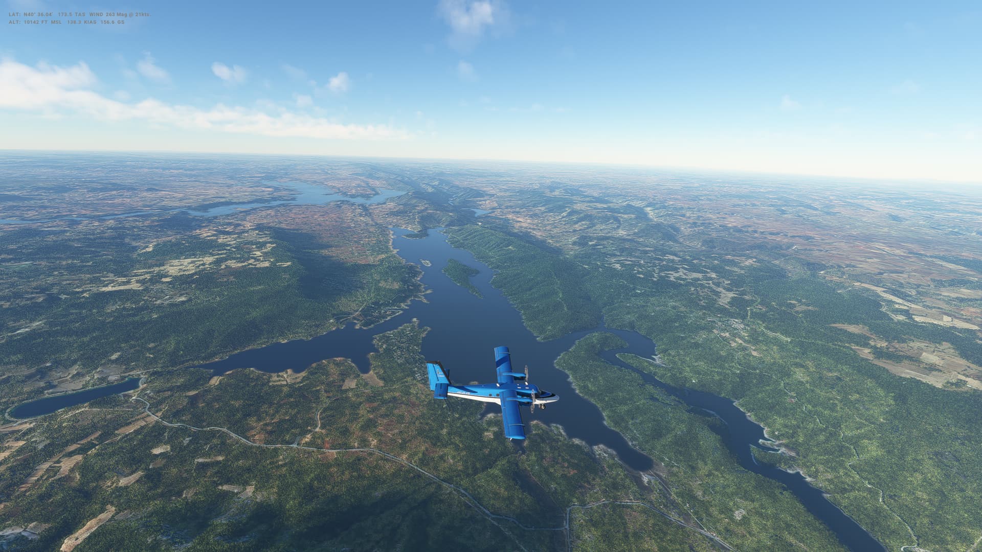
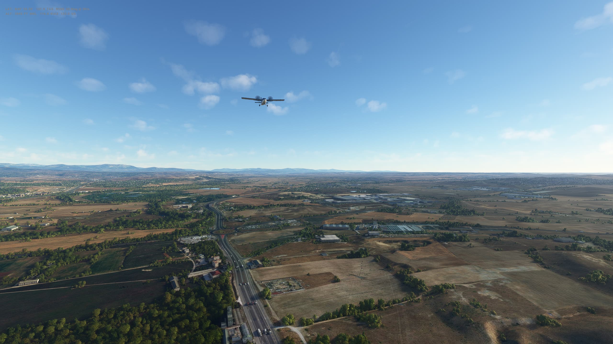
Beautiful weather today - clear skies all the way as we head North to Tunisia and Carthage International Airport, hugging the North African coast all the way. Getting to grips with the autopilot and navigation too, pretty much all seemed to go according to plan, which was nice.


Tunisia

  • Capital: Tunis
  • Area: 163,610 sq km
  • Population: 11.7 million
  • Language: Arabic
  • Life expectancy: 72 years (men) 79 years (women)

Logbook
This Leg Leg 39
Date 09/04/2023
Aircraft DHC-6-300 Wheels Cargo 3-Blade
Departure Airport ICAO HLLT
Airport Tripoli International Airport
Capital City Tripoli
Country Libyan Arab Jamahiriya
Runway 09
Arrival Airport ICAO DTTA
Airport Carthage International Airport
Capital City Tunis
Country Tunisia
Runway 01
Actual Time (Local) Pushback Time 07:00
Take Off Time 07:11
Touchdown Time 09:36
Arrival Time 09:42
Air time 02:25
Total Time 02:42
Ground Distance (Nm) 340
Air Distance (Nm) 405
Great Circle Distance (Nm) 290
Fuel Start (Kgs) 992
Fuel End (Kgs) 608
Fuel Used (Kgs) 384
SID GASRI1C
Route HLLT/09 GASRI1C GASRI V160 MON M738 DIDON DCT ADRIL DCT DTTA/01
STAR
Approach ILS Z 01
Passengers 16
Cargo (000 Kgs) 0
Take Off Weight (000 Kgs) 5.7
Cruising Altitude (feet) 10,000
Cumulative Ground Distance (Nm) 11,582
Air Distance (Nm) 11,546
Great Circle Distance (Nm) 9,036
Total air time 22:06
Total time 02:06:51
Fuel Used (Kgs) 92,991

Flightplan:

IFR (HLLT) to (DTTA).lnmpln (2.9 KB)

Timelapse Video

Screenshots

Take Off


Cruise


Landing


Overall route so far

UTDD UTTT UCFM UACC UTAA OIII UBBB UGTB UDYZ ORBI OKBK OBBI OOMS OMAA OTHH OERK OJAI LLBG OSDI OLBA LCEN LTAC LRBS LBSF LWSK BKPR LATI LYPG LQSA LYBE LHBP LZIB LOWW LDZA LJLJ LIPR LIRE LMML HLLT DTTA

This looks like a great adventure. I am thinking of following you in a GA plane (Bonanza). Hope there will not be any long legs for that small plane :slight_smile: … Will try this leg 01.

I hope you have as much fun as I’m having. One of the legs is over 4,000 Nm though - Mexico City to Papeete in French Polynesia…

Yes, I saw that. But there is a way around :slight_smile: How did you create this fantastic map? Do you have itenerary in some digital format that you are willing to share? I would like to modify it for echo planes so maybe some other pilots could follow?

I created the map in Little Nav Map - a free and amazing little programme for doing all sorts of route planning and many other things flight sim related. Google it, or you can find it here:

Alex Projects - Little Navmap.

This is an Excel file with all the details of the route itself. I had to change the file extension to be able to upload it here, but if you download it and change the file extension to be .xlxs then it should load into Excel properly.

Capitals Route.txt (30.0 KB)

I also used a great website called Great Circle Mapper to find all the longitudes and latitudes of the airports as well as tracking down the most appropriate airport for each capital city.

Let me know if you need anything more.

1 Like

I’ve used SkyVector for a different around the world trip. I might have to try your route!

Thanks. I tried all of them, but what I had in mind was to tweek a little your plan so it can be flown with a echo class plane. Bonanza with tip tanks can go 1300nm, and what I have seen is that there are 6 legs that are problematic. I can fix this with “additional” tanks and do inflight tanking, but I would like first to try to find alternative path for those legs. So I was wondering if you can share that plan so I do not have to enter it all from zero :slight_smile: I will understand if you do not want to, just had to ask :slight_smile:

BTW I did leg 1 today and almost missed ATC :slight_smile: If this gets traction I will start a new thread so we can share this trips.

The plan was shared just a couple of posts before yours.


This is what it looks like… pretty weird.

It’s an excel file – you have to rename it with a xlxs extension (and then open it with Excel).

1 Like

As @FacetedArrow204 says, the file Capitals Route.txt is actually an Excel file but the forum doesn’t allow those kinds of files to be uploaded, so I’ve fooled it by changing the extension to .txt. So when you download it, change the extension to .xlsx (note xlsx, not xlxs - make sure this is correct!) so that the file name becomes Capitals Route.xlsx and then you can open it in Excel.

Here’s the file again for ease:

Capitals Route.txt (30.0 KB)

Also, if it helps any, these are all the legs of more than 1,000Nm:

Leg From City Country To City Country Distance (Nm) Description
177 MMMX Mexico City Mexico NTAA Papeete French Polynesia 3,716 Leg 177: Mexico City (MMMX), Mexico to Papeete (NTAA), French Polynesia
176 SBBR Brasilia Brazil MMMX Mexico City Mexico 3,689 Leg 176: Brasilia (SBBR), Brazil to Mexico City (MMMX), Mexico
122 FTTJ N’Djamena Chad EIDW Dublin Ireland 2,680 Leg 122: N’Djamena (FTTJ), Chad to Dublin (EIDW), Ireland
224 VRMM Male Maldives VNKT Kathmandu Nepal 1,565 Leg 224: Male (VRMM), Maldives to Kathmandu (VNKT), Nepal
194 YSCB Canberra Australia AYPY Port Moresby Papua New Guinea 1,557 Leg 194: Canberra (YSCB), Australia to Port Moresby (AYPY), Papua New Guinea
218 ZMUB Ulaanbaatar Mongolia ZULS Lhasa Tibet 1,333 Leg 218: Ulaanbaatar (ZMUB), Mongolia to Lhasa (ZULS), Tibet
212 WBSB Bandar Seri Begawan Brunei Darussalam RCTP Taipei Taiwan (Republic of China) 1,262 Leg 212: Bandar Seri Begawan (WBSB), Brunei Darussalam to Taipei (RCTP), Taiwan (Republic of China)
193 NZWN Wellington New Zealand YSCB Canberra Australia 1,254 Leg 193: Wellington (NZWN), New Zealand to Canberra (YSCB), Australia
171 SCEL Santiago Chile SFAL Stanley Falkland Islands 1,236 Leg 171: Santiago (SCEL), Chile to Stanley (SFAL), Falkland Islands
195 AYPY Port Moresby Papua New Guinea PTPN Palikir Micronesia 1,185 Leg 195: Port Moresby (AYPY), Papua New Guinea to Palikir (PTPN), Micronesia
213 RCTP Taipei Taiwan (Republic of China) RJTT Tokyo Japan 1,146 Leg 213: Taipei (RCTP), Taiwan (Republic of China) to Tokyo (RJTT), Japan
210 WIII Jakarta Indonesia WPDL Dili East Timor 1,133 Leg 210: Jakarta (WIII), Indonesia to Dili (WPDL), East Timor
222 VYYY Yangon Myanmar VCBI Colombo Sri Lanka 1,117 Leg 222: Yangon (VYYY), Myanmar to Colombo (VCBI), Sri Lanka
126 BGGH Nuuk Greenland LFVP Saint-Pierre Saint Pierre and Miquelon 1,057 Leg 126: Nuuk (BGGH), Greenland to Saint-Pierre (LFVP), Saint Pierre and Miquelon
211 WPDL Dili East Timor WBSB Bandar Seri Begawan Brunei Darussalam 1,029 Leg 211: Dili (WPDL), East Timor to Bandar Seri Begawan (WBSB), Brunei Darussalam
170 SLLP La Paz Bolivia SCEL Santiago Chile 1,023 Leg 170: La Paz (SLLP), Bolivia to Santiago (SCEL), Chile
172 SFAL Stanley Falkland Islands SUMU Montevideo Uruguay 1,014 Leg 172: Stanley (SFAL), Falkland Islands to Montevideo (SUMU), Uruguay

I suspect these can all be broken up with stop overs on the way to enable you to fly with a max range of 1,300 Nm - although the top one is mainly over the Pacific and so might need a bit of a dog leg to do it.

Leg 40: Tunis (DTTA), Tunisia to Algiers (DAAG), Algeria


Summary

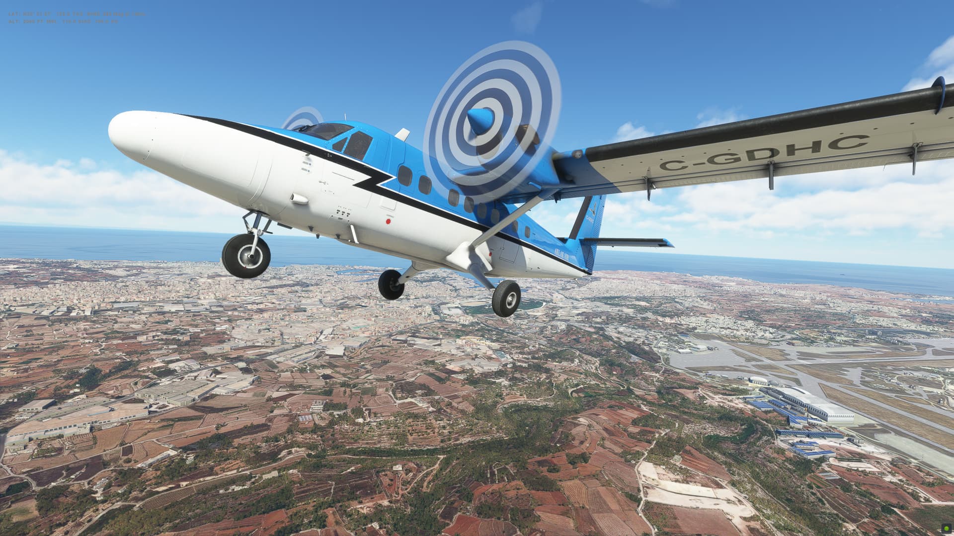
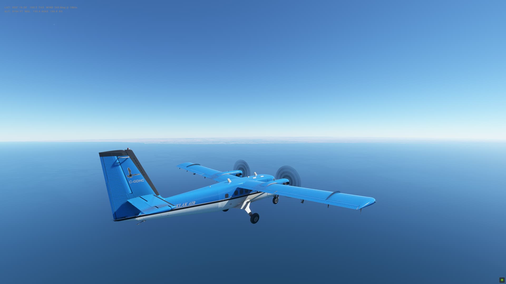
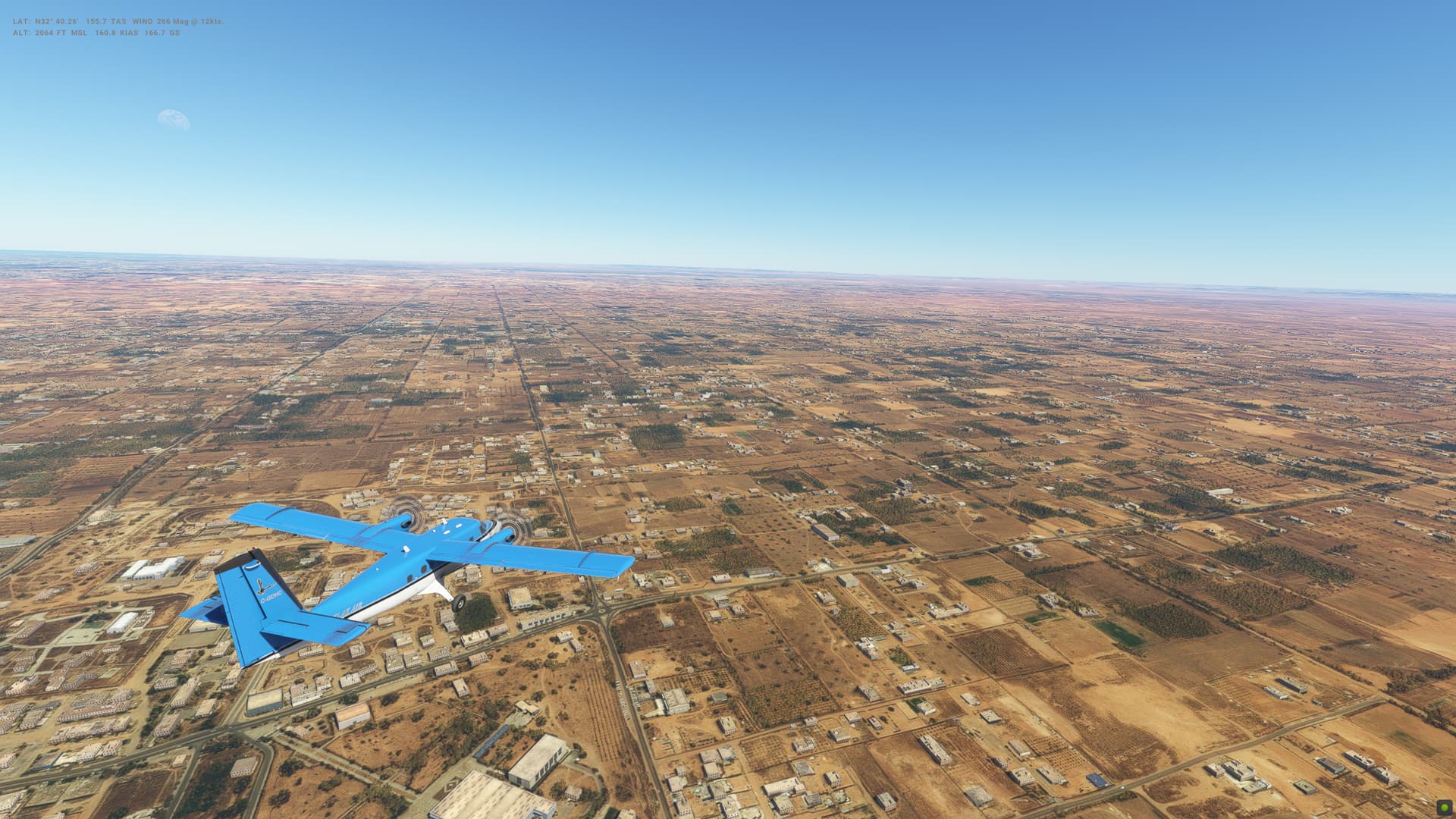
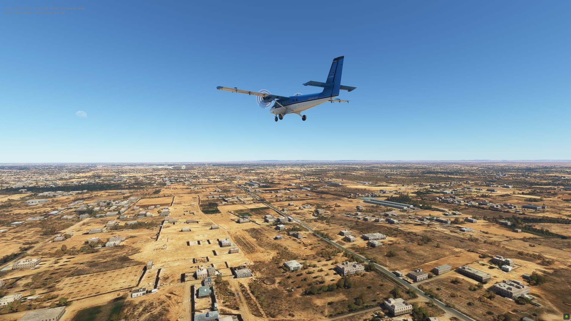
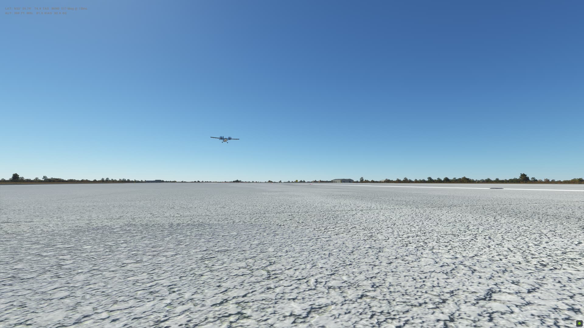
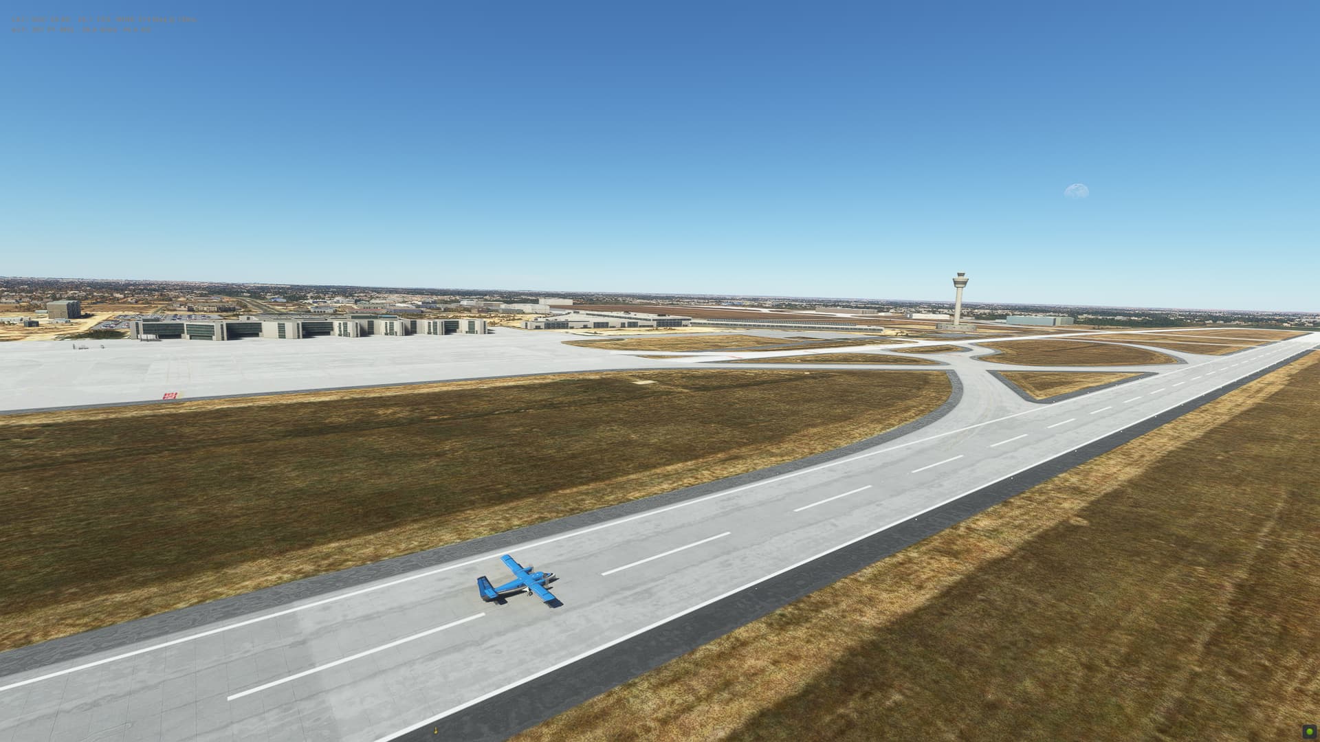
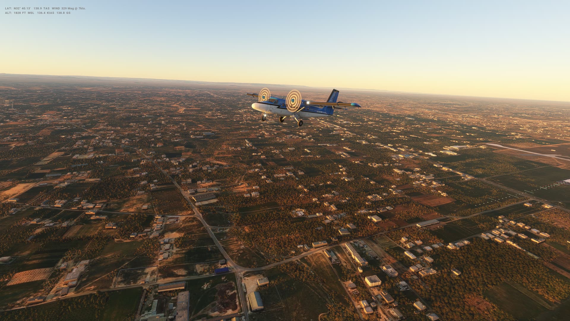
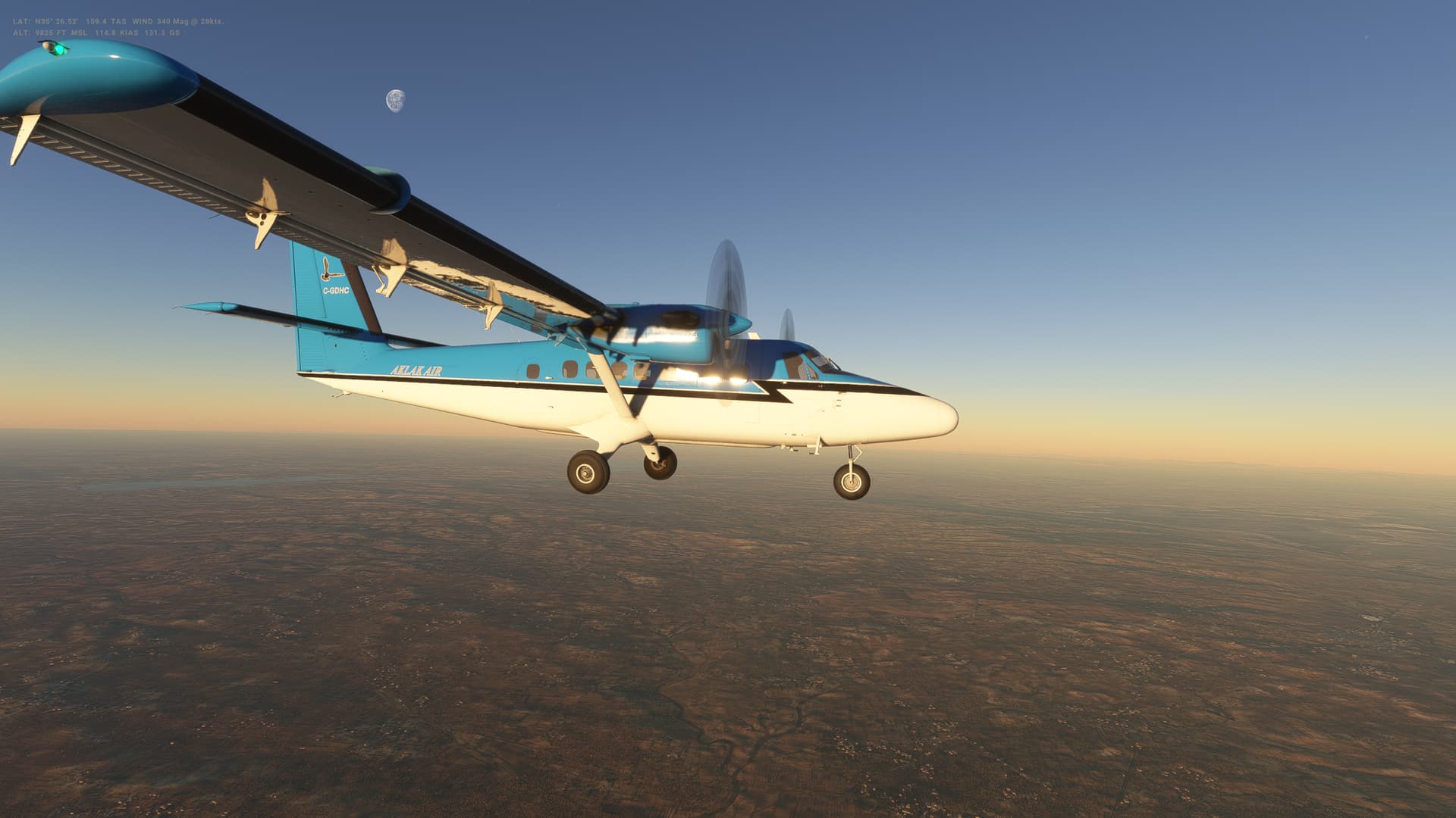
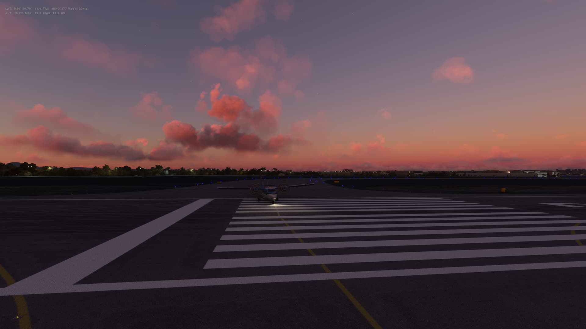
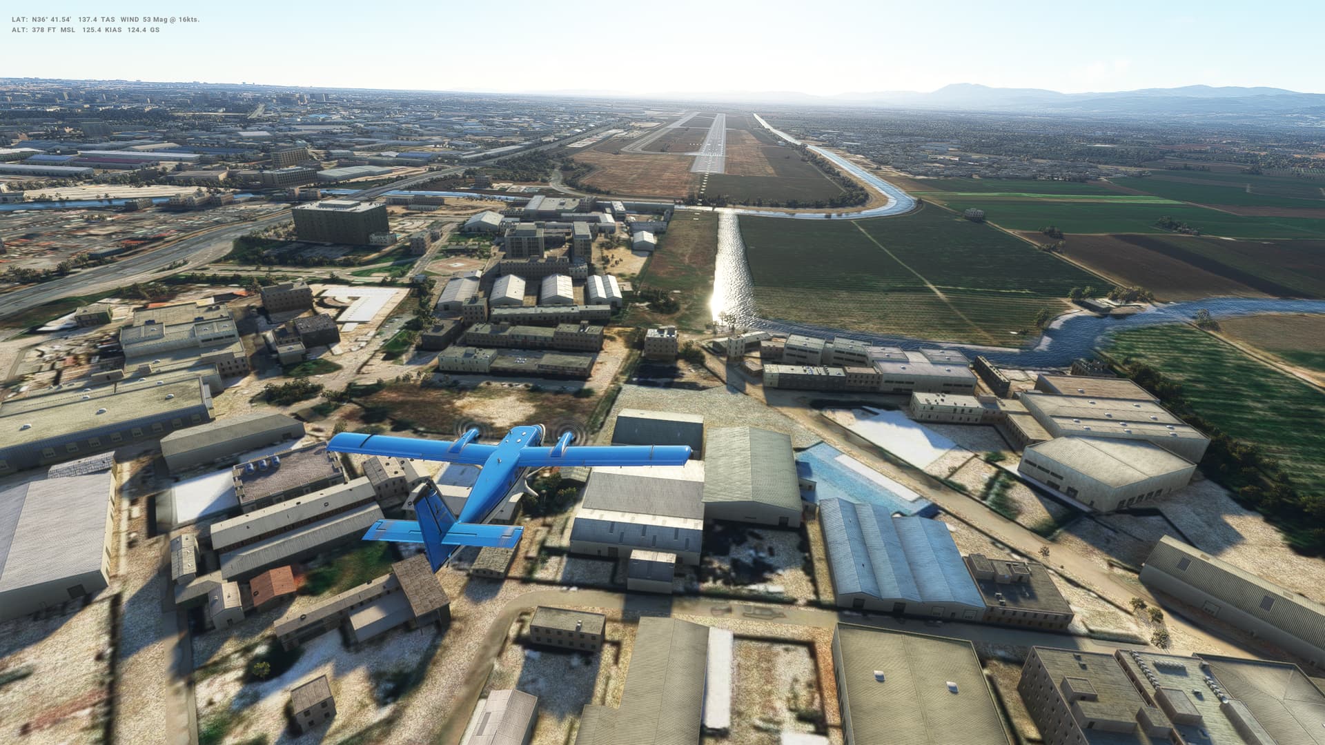
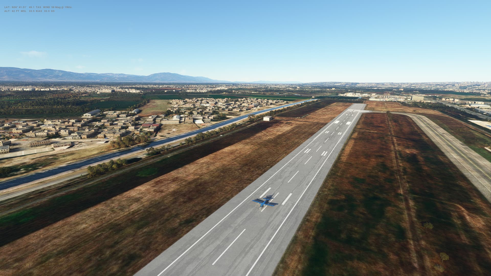
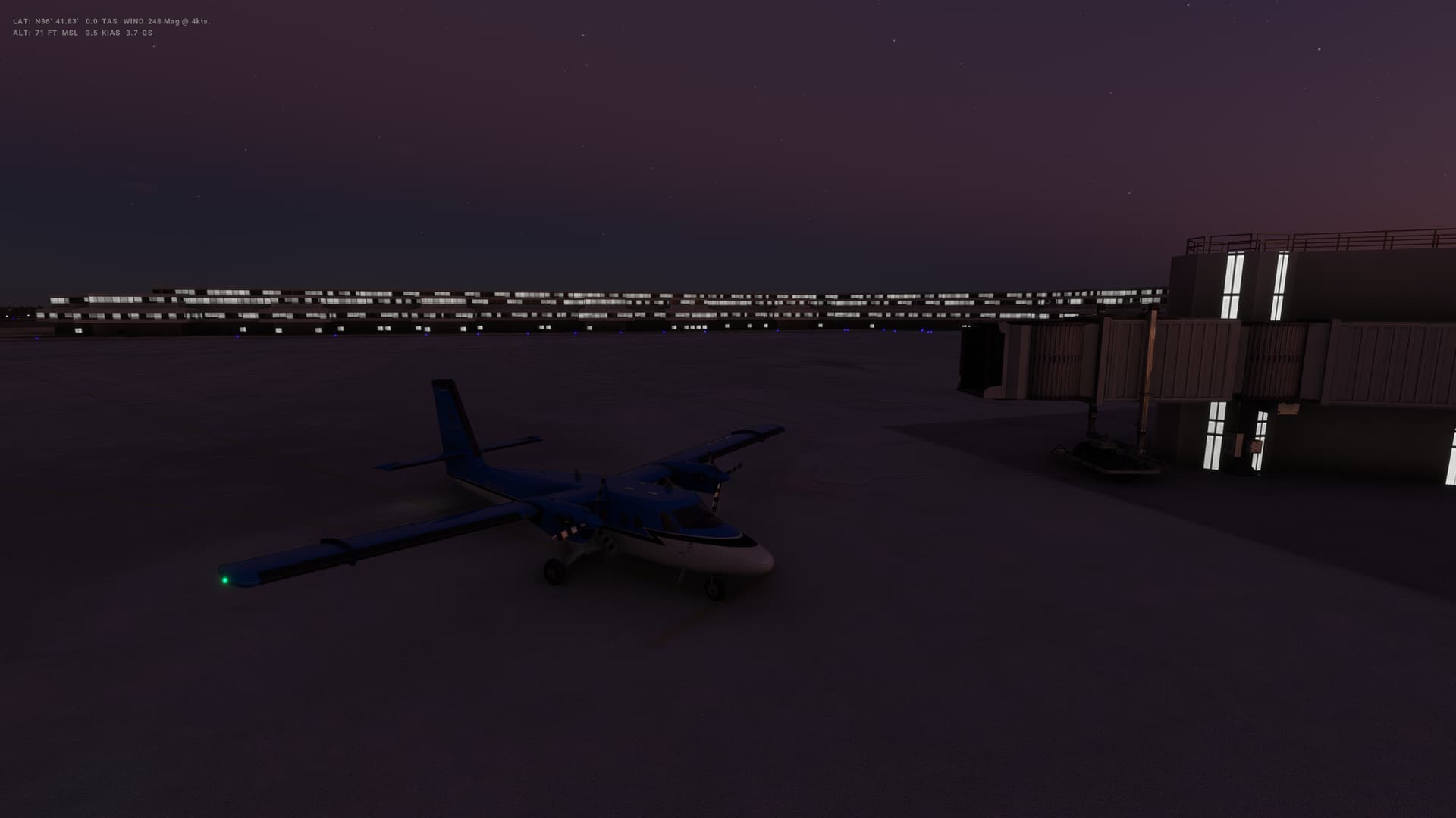
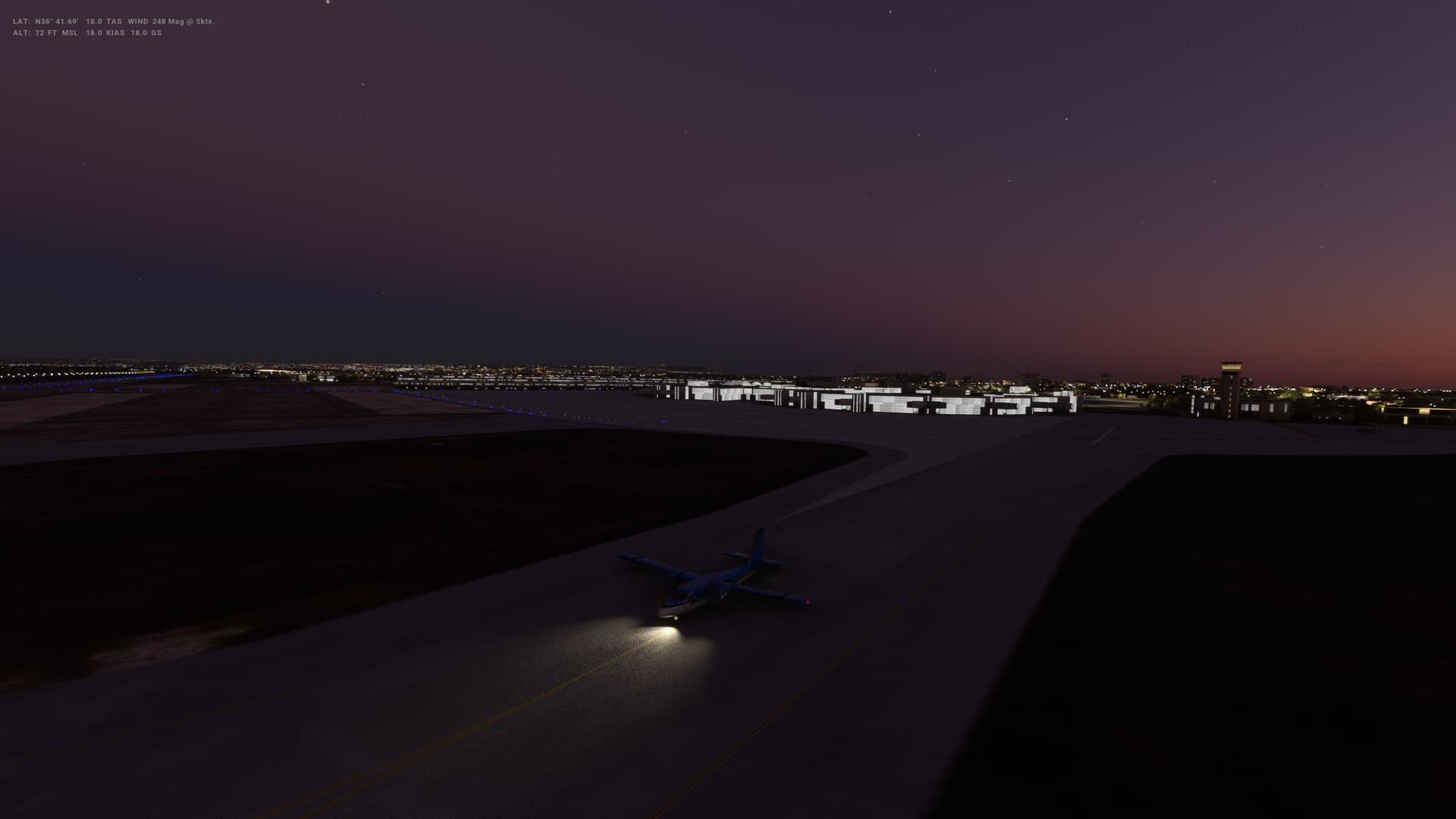
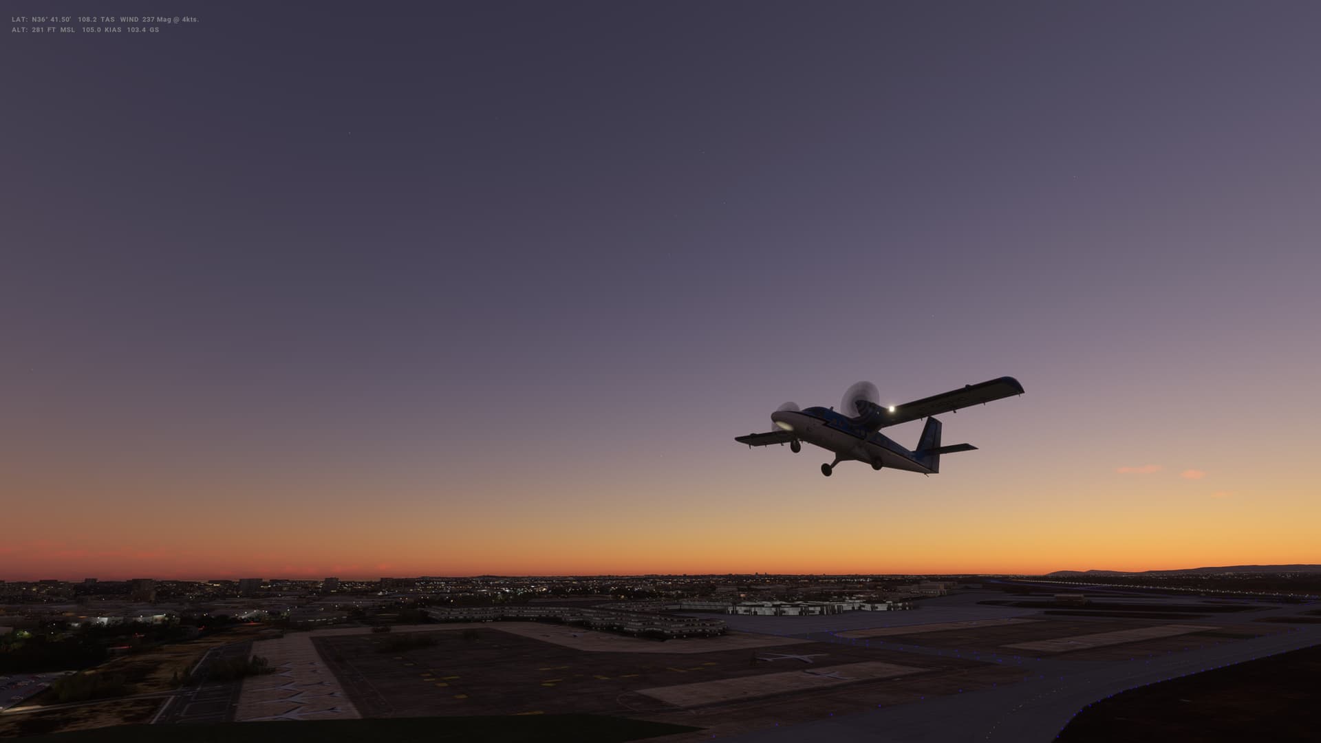
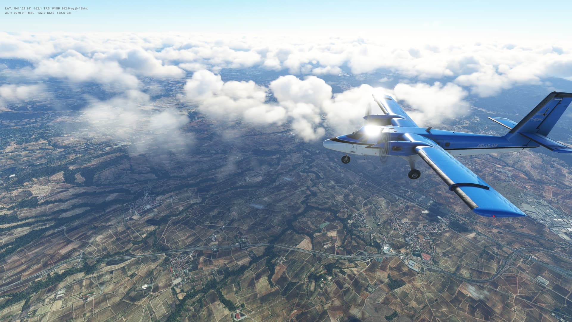
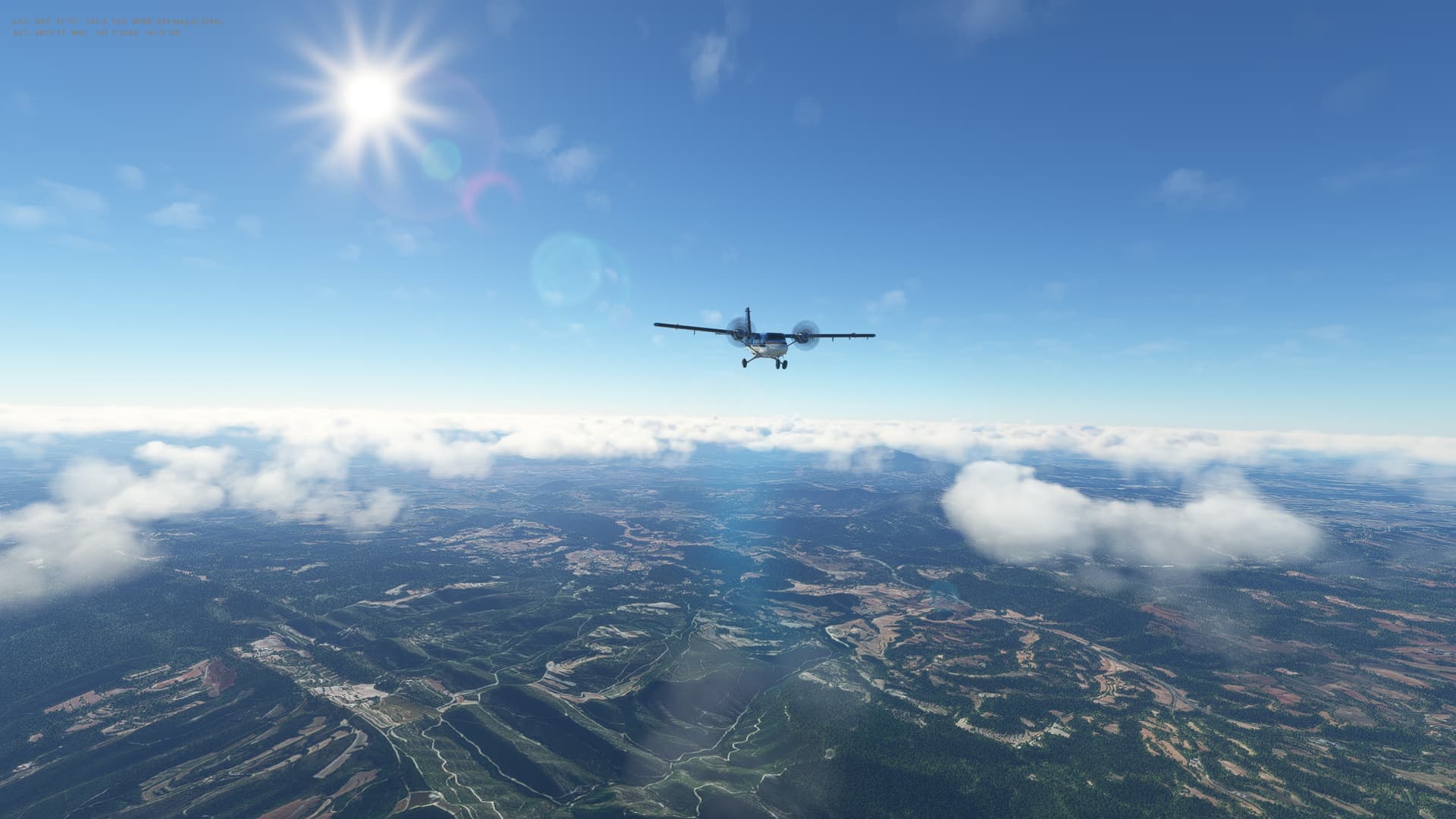
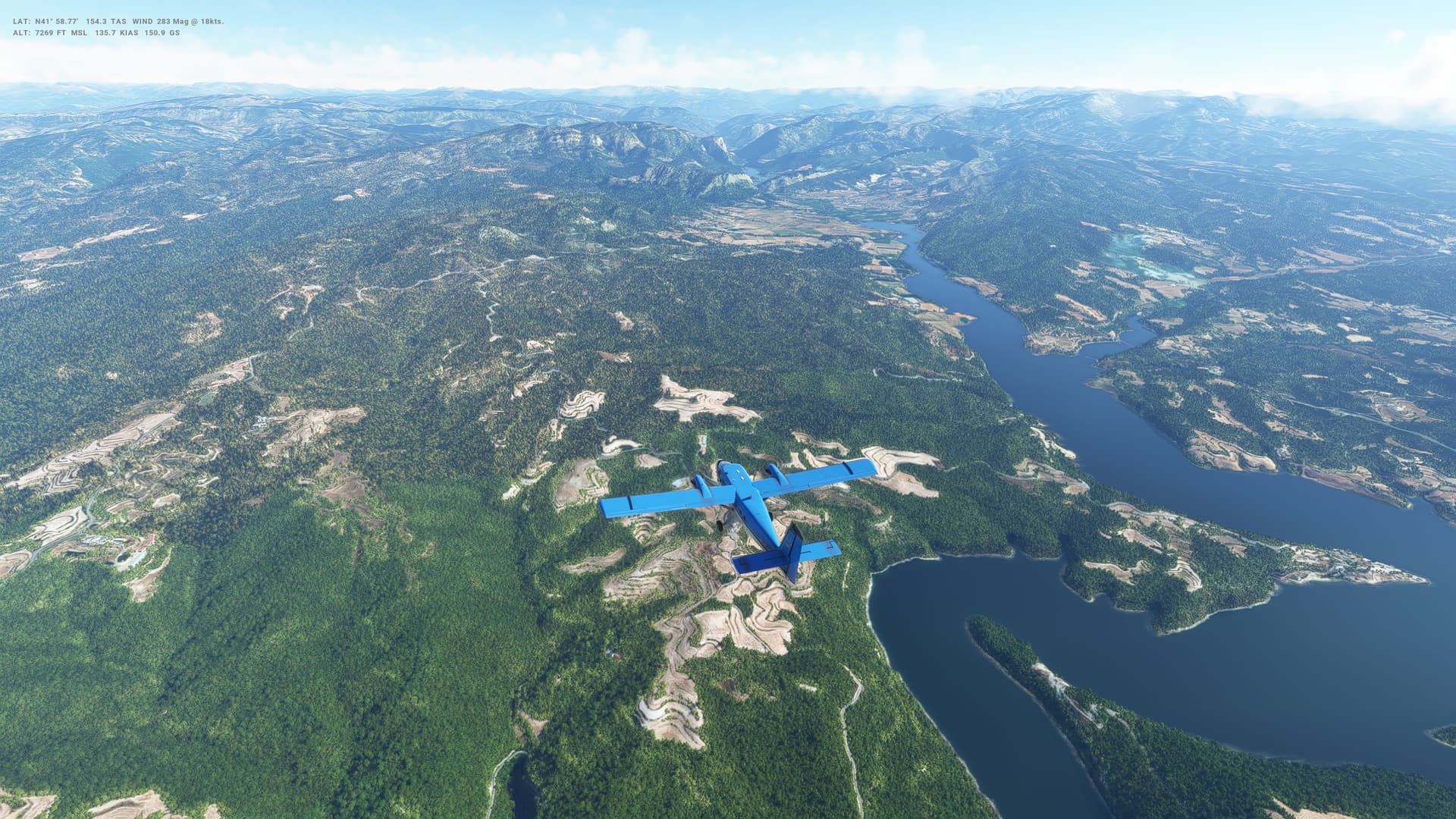
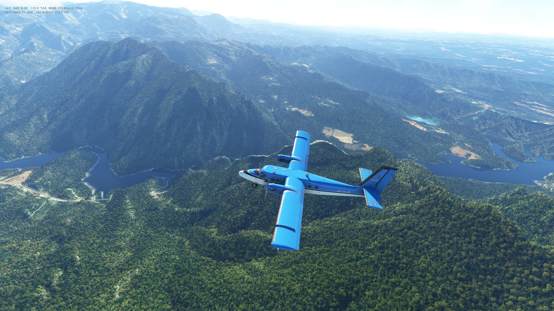
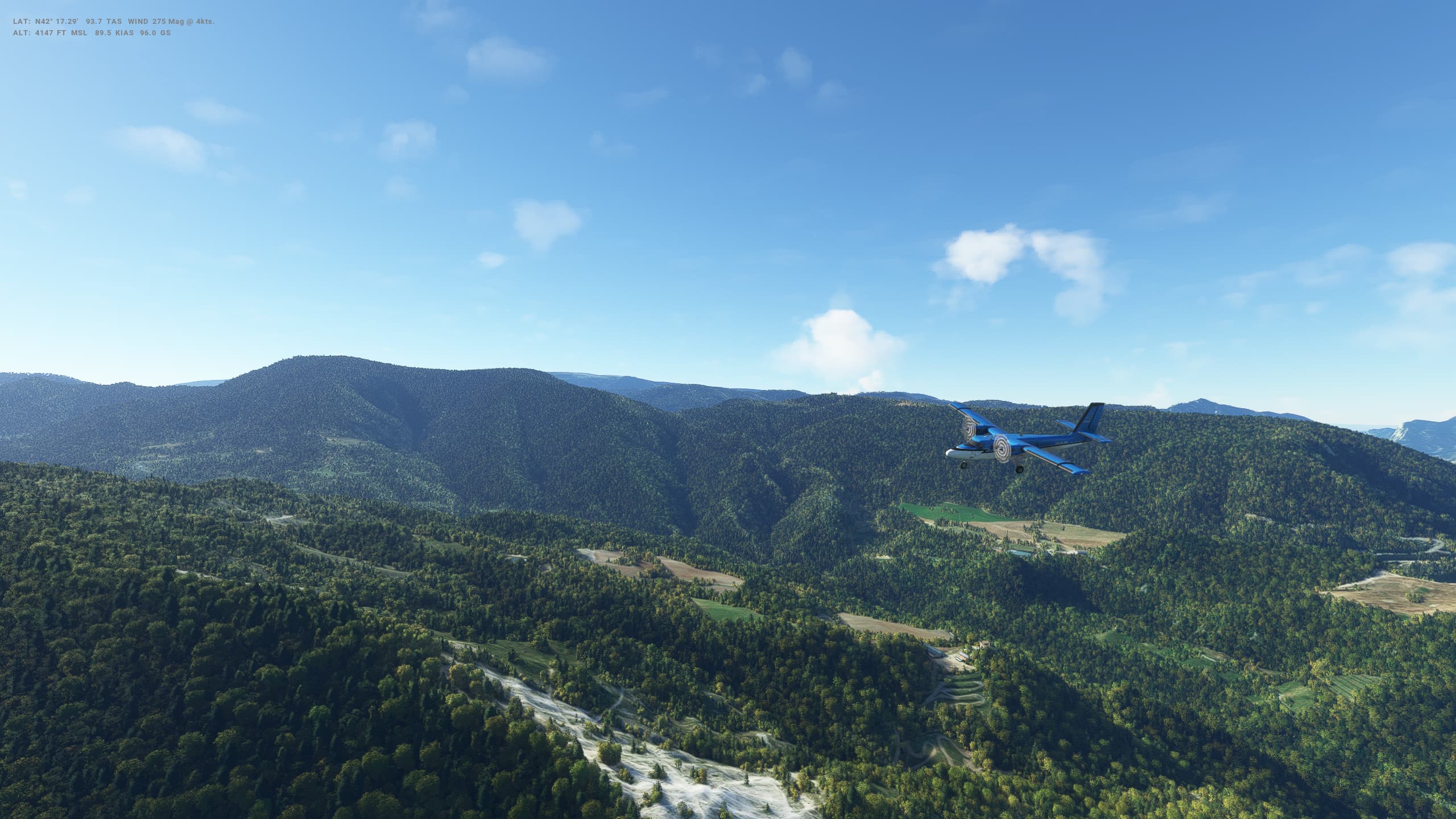
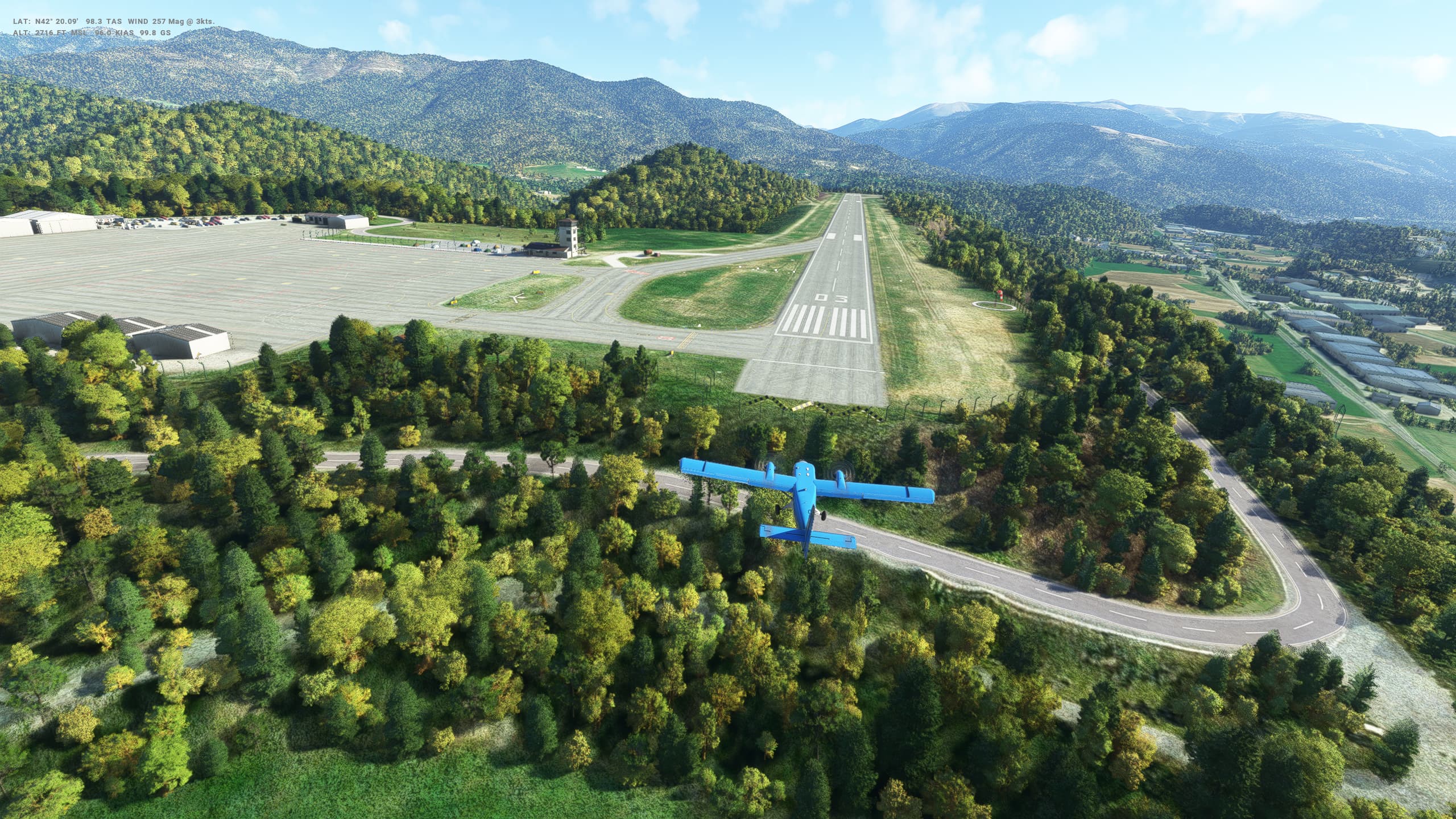
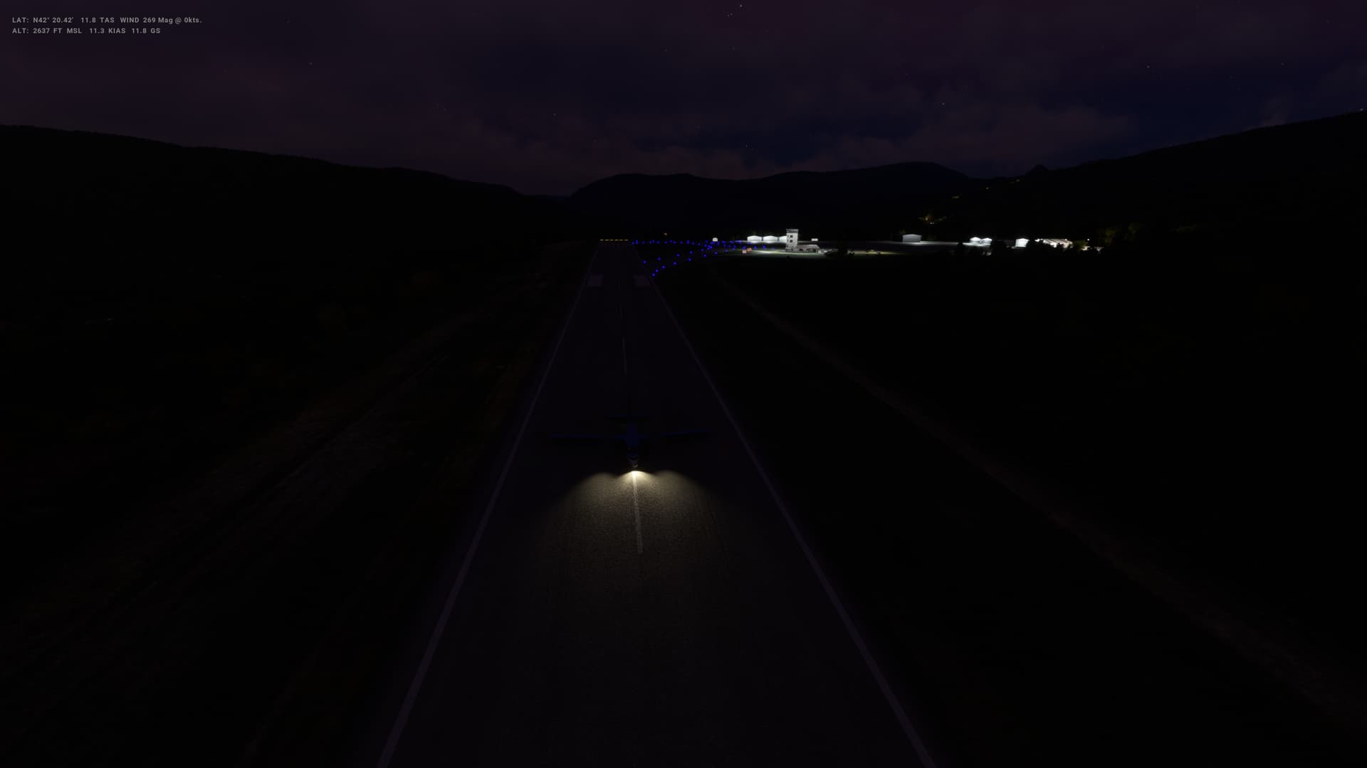
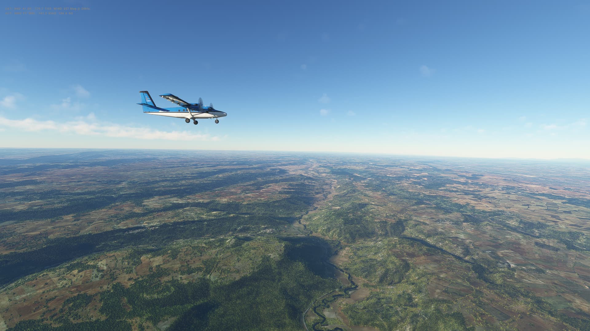
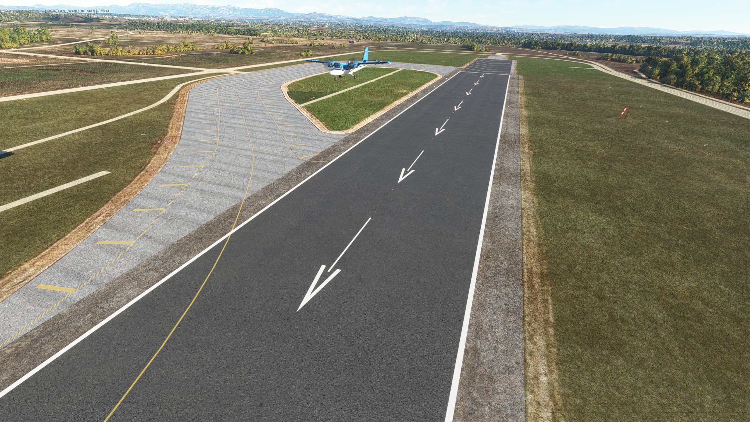
Flight number 3 in the Twin Otter, and I’m definitely getting there wih the landings. A little off centre with this one, and as I was approaching on a VOR DME approach, I was a bit late on the glideslope so was coming in quite steep. Got it down though, and realised that I can land with flaps 20 at around 90 kts rather than having to get it down as low as 75 kts and flaps 40.

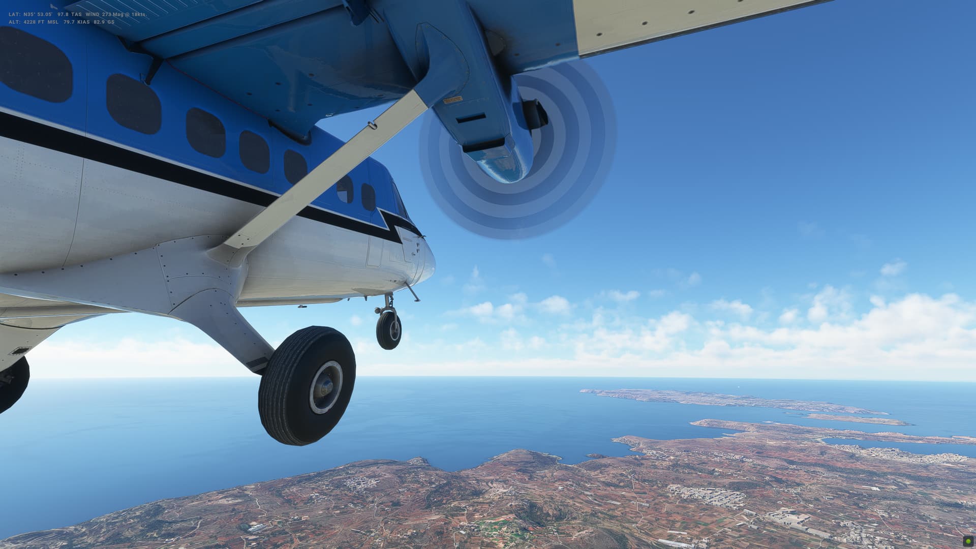
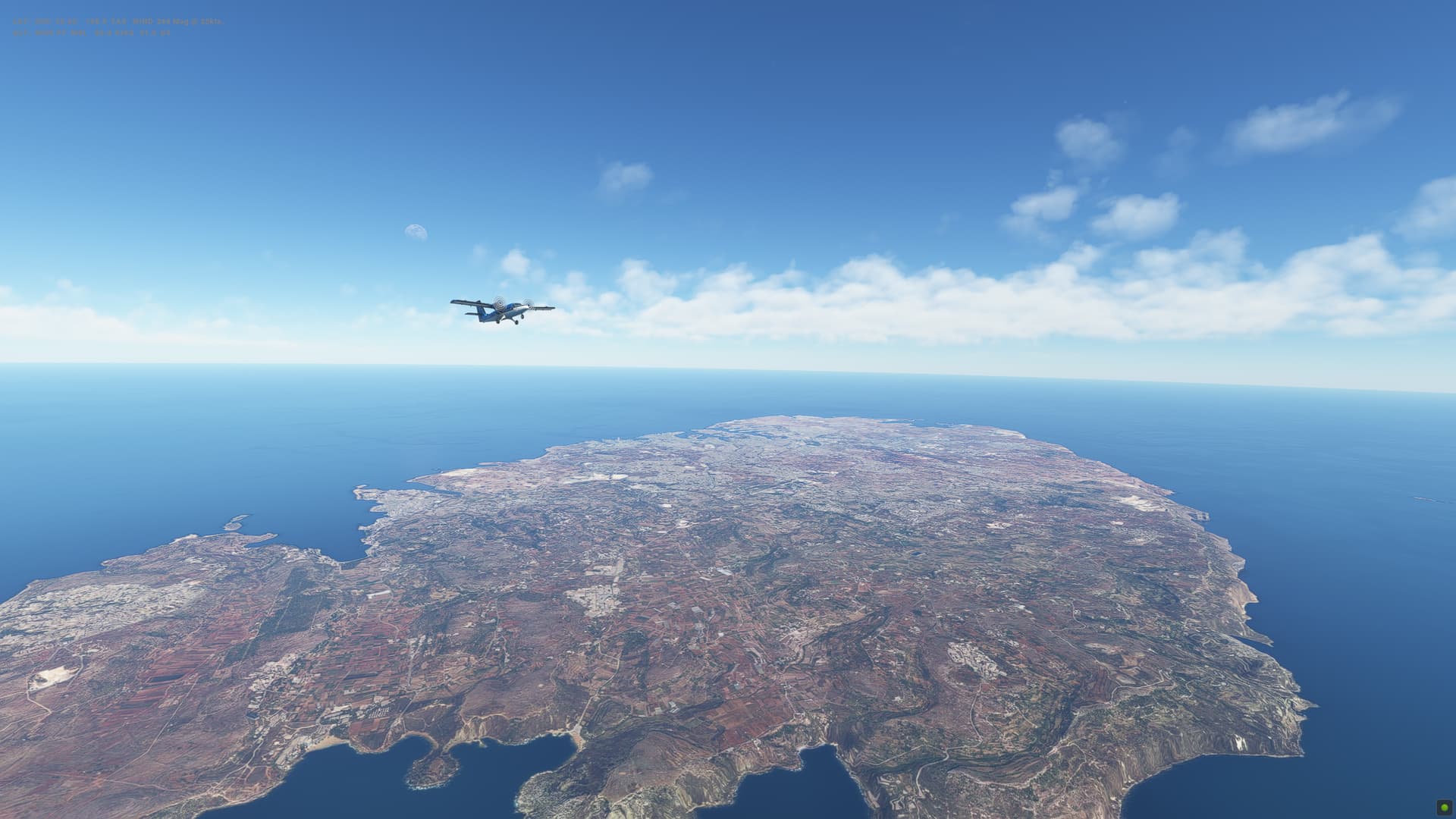
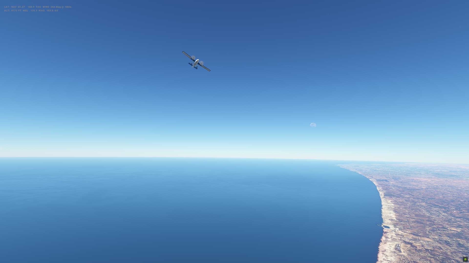
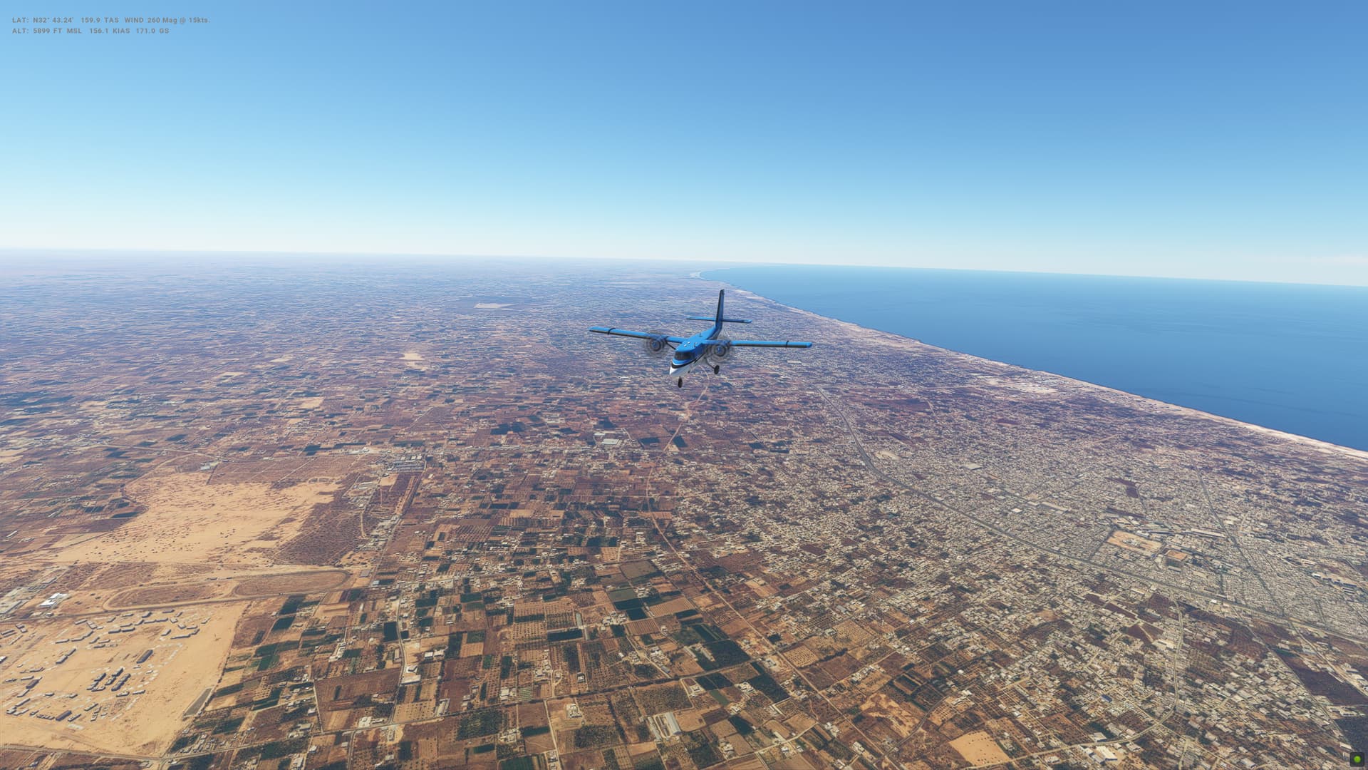
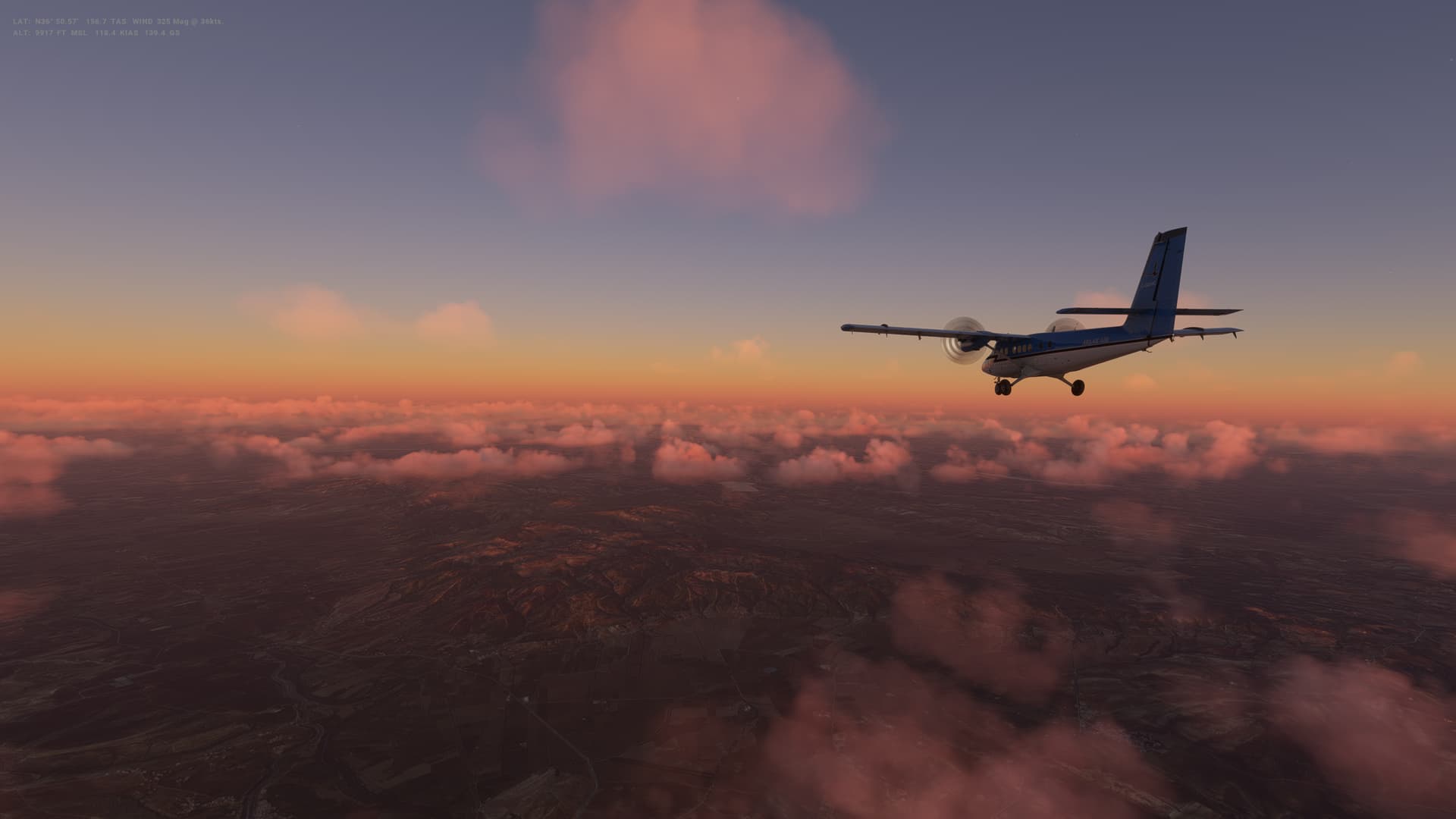
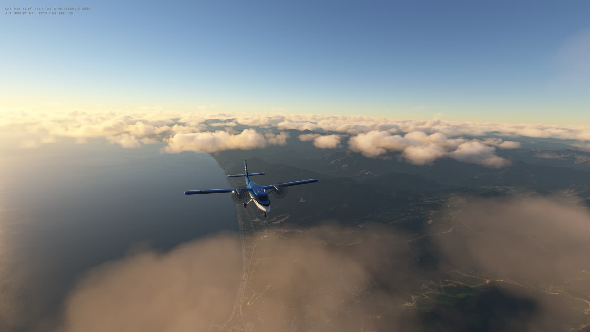
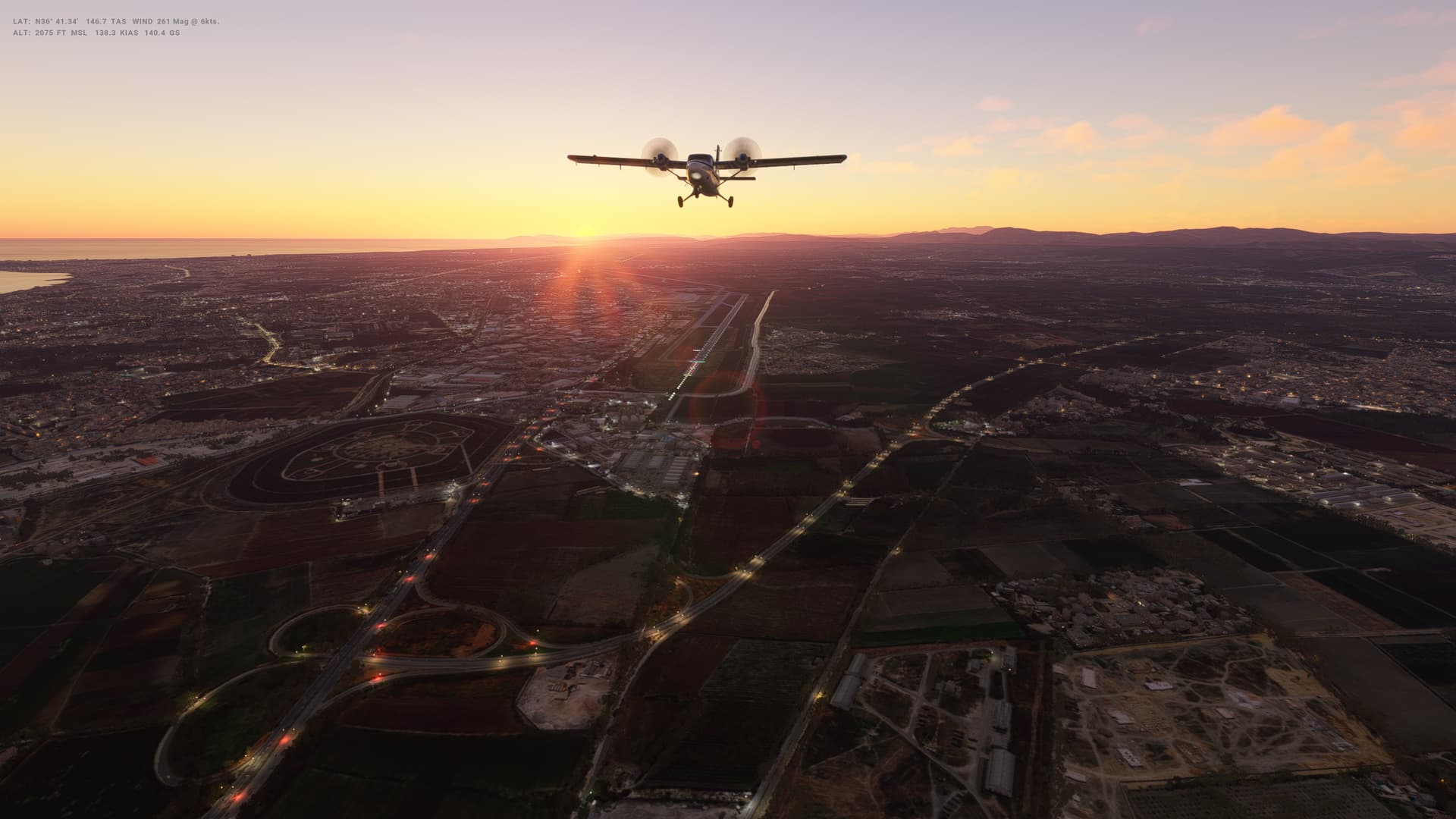
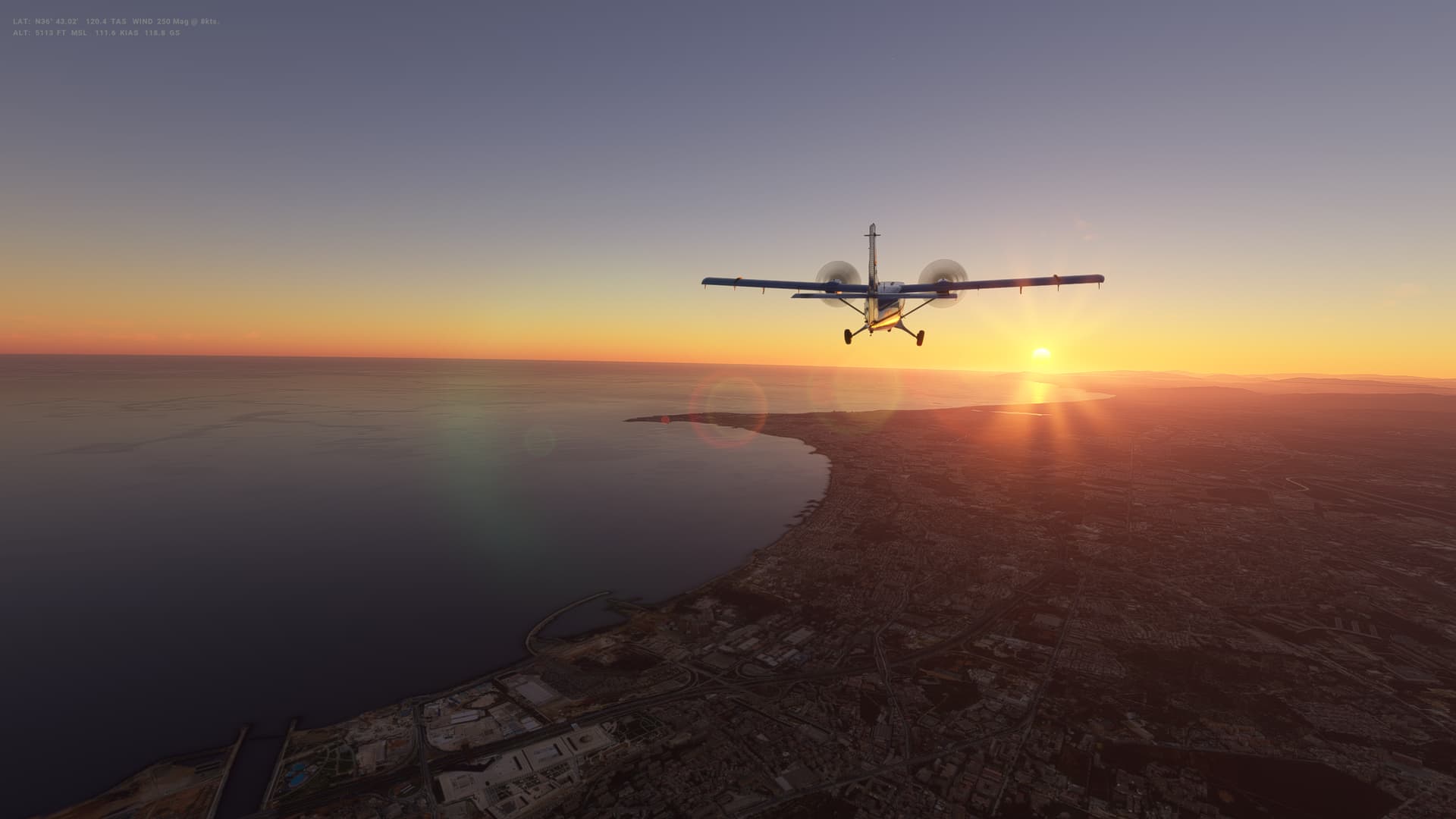
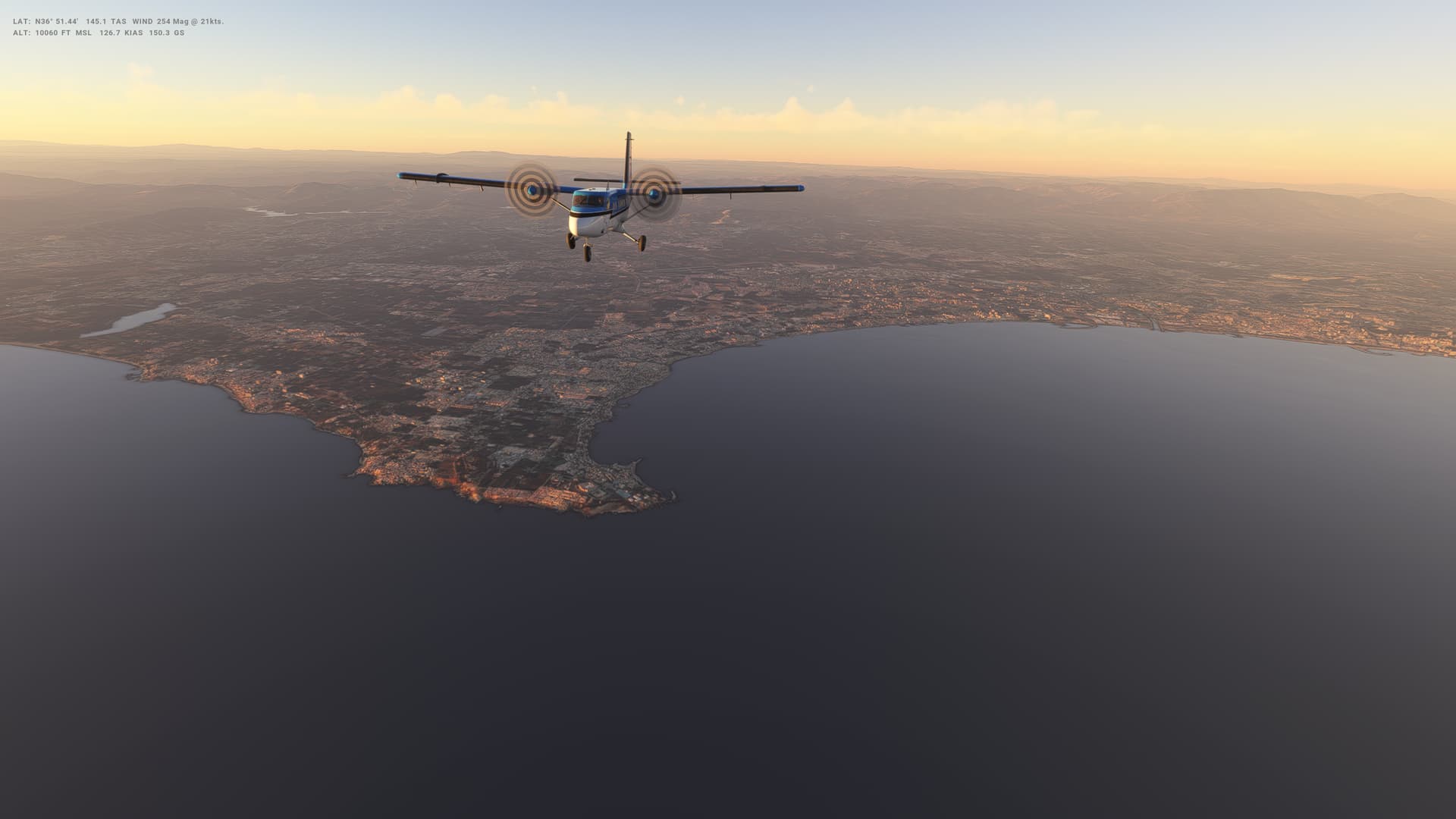
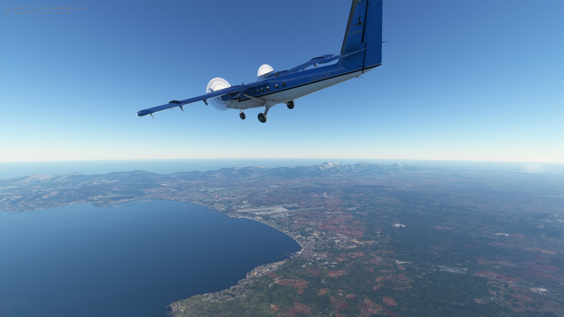
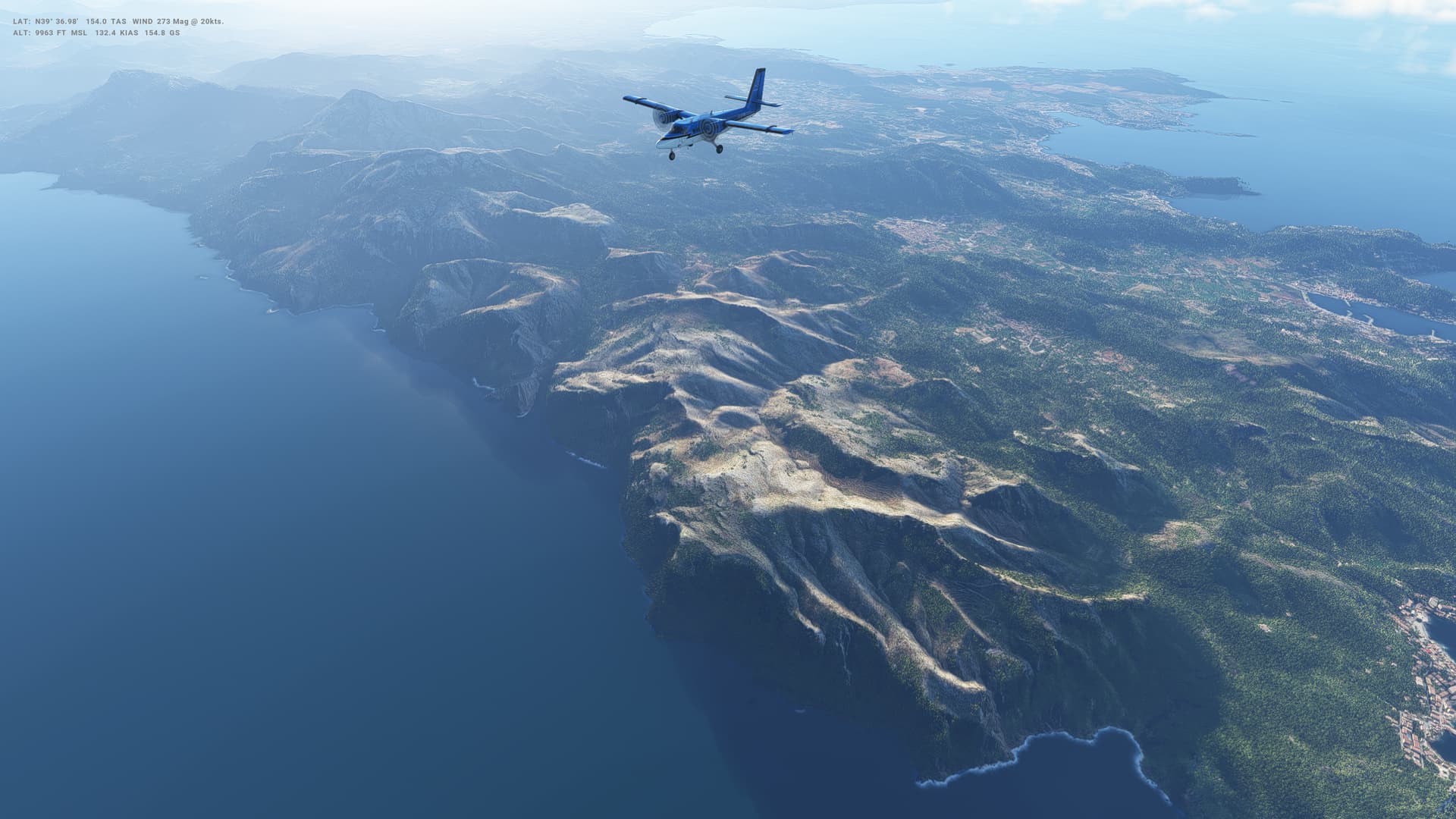
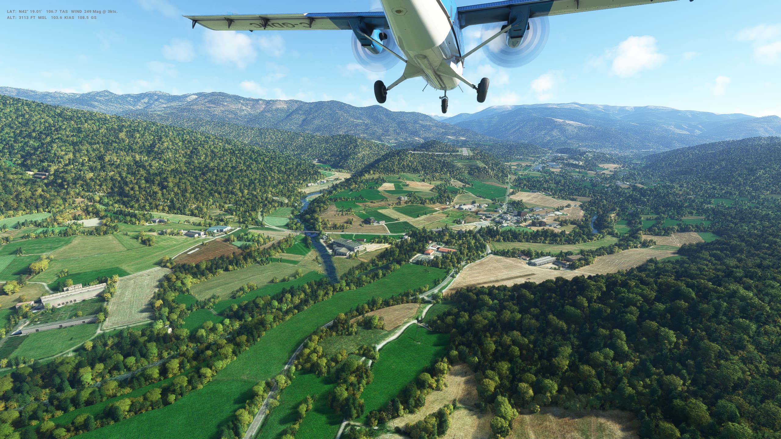
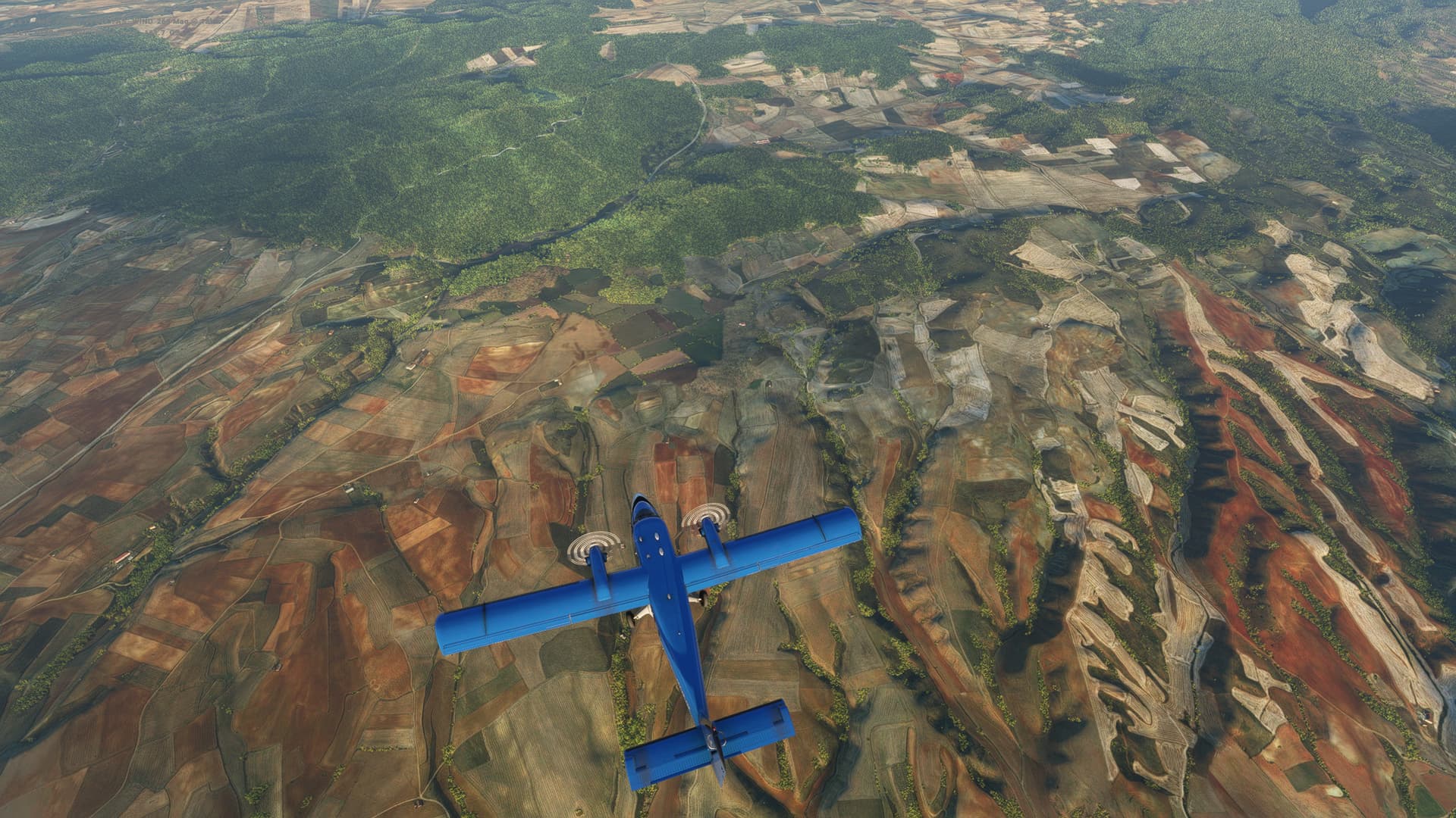
Once again, some nice weather over the North African coast. Today we fly pretty much due West, hugging the coastline all the way. Stunning scenery throughout.


Algeria

  • Capital: Algiers
  • Area: 2,381,741 sq km
  • Population: 29.3 million
  • Languages: Arabic, Tamazight, plus French
  • Life expectancy: 75 years (men) 78 years (women)

Logbook
This Leg Leg 40
Date 15/04/2023
Aircraft DHC-6-300 Wheels Cargo 3-Blade
Departure Airport ICAO DTTA
Airport Carthage International Airport
Capital City Tunis
Country Tunisia
Runway 29
Arrival Airport ICAO DAAG
Airport Houari Boumediene Airport
Capital City Algiers
Country Algeria
Runway 09
Actual Time (Local) Pushback Time 05:45
Take Off Time 05:52
Touchdown Time 08:21
Arrival Time 08:25
Air time 02:29
Total Time 02:40
Ground Distance (Nm) 357
Air Distance (Nm) 448
Great Circle Distance (Nm) 337
Fuel Start (Kgs) 1,207
Fuel End (Kgs) 674
Fuel Used (Kgs) 533
SID KEMIR1D
Route DTTA/29 KEMIR1D KEMIR UA411 BJA UJ7 LIMON UG26 ZEM DCT DAAG/05
STAR
Approach VOR DME 09
Passengers 16
Cargo (000 Kgs) 0
Take Off Weight (000 Kgs) 5.7
Cruising Altitude (feet) 10,000
Cumulative Ground Distance (Nm) 11,939
Air Distance (Nm) 11,994
Great Circle Distance (Nm) 9,373
Total air time 00:35
Total time 02:09:31
Fuel Used (Kgs) 93,524

Flightplan:

IFR (DTTA) to (DAAG).lnmpln (3.1 KB)

Timelapse Video

Screenshots

Take Off


Cruise


Landing


Overall route so far

UTDD UTTT UCFM UACC UTAA OIII UBBB UGTB UDYZ ORBI OKBK OBBI OOMS OMAA OTHH OERK OJAI LLBG OSDI OLBA LCEN LTAC LRBS LBSF LWSK BKPR LATI LYPG LQSA LYBE LHBP LZIB LOWW LDZA LJLJ LIPR LIRE LMML HLLT DTTA DAAG

Leg 41: Algiers (DAAG), Algeria to Andorra la Vella (LESU), Andorra


Summary

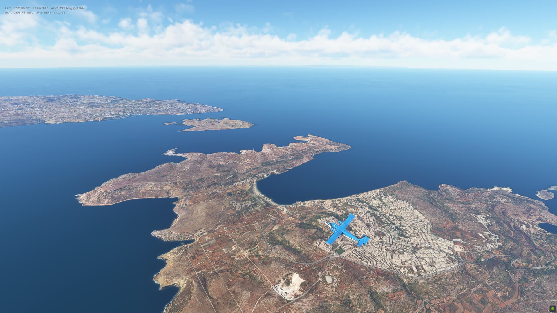
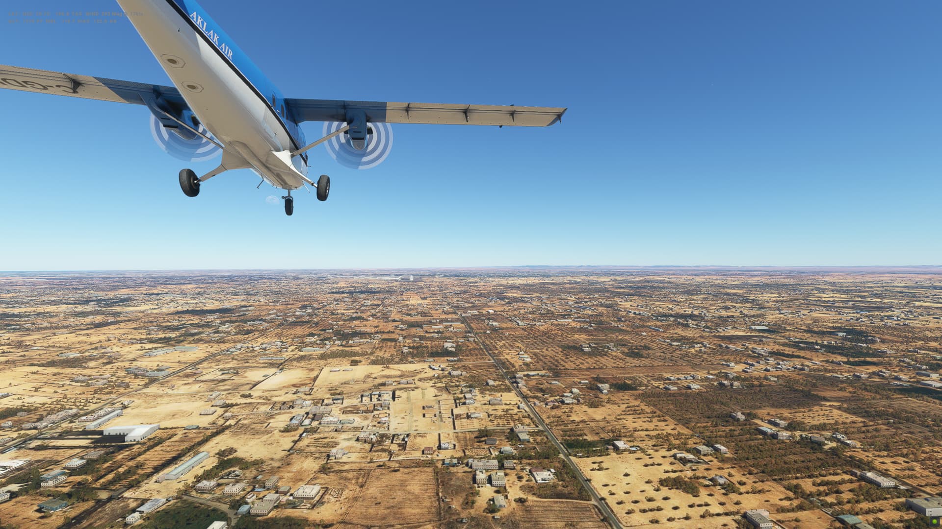
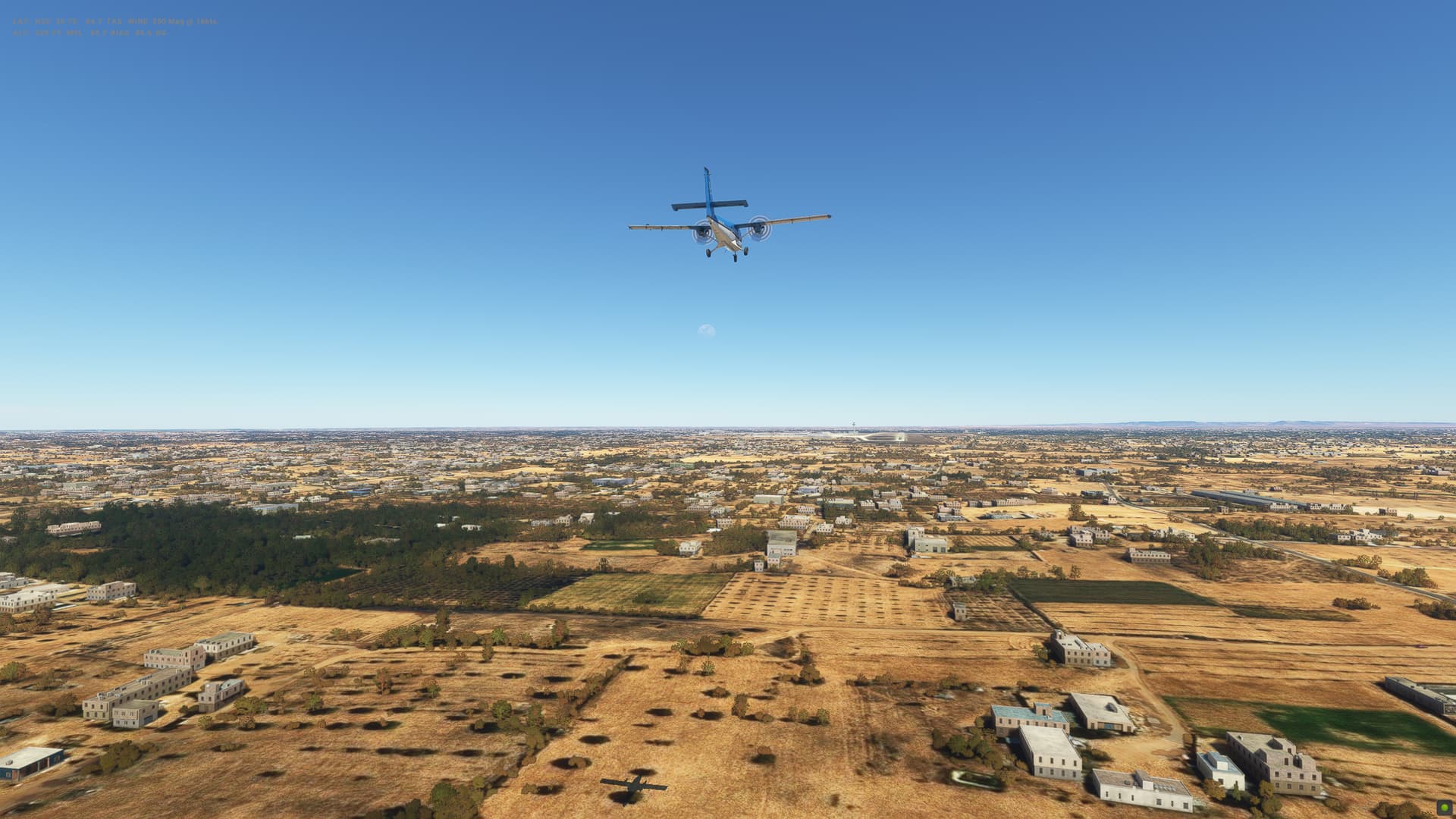
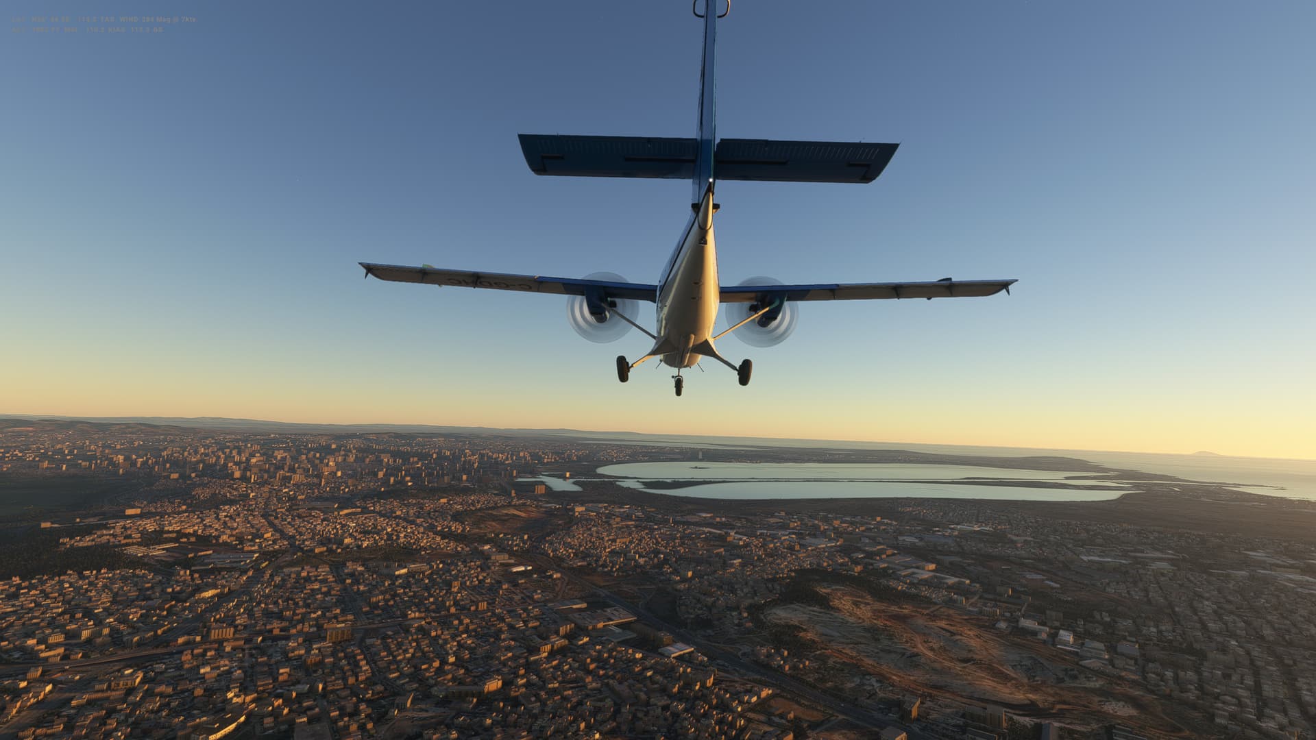
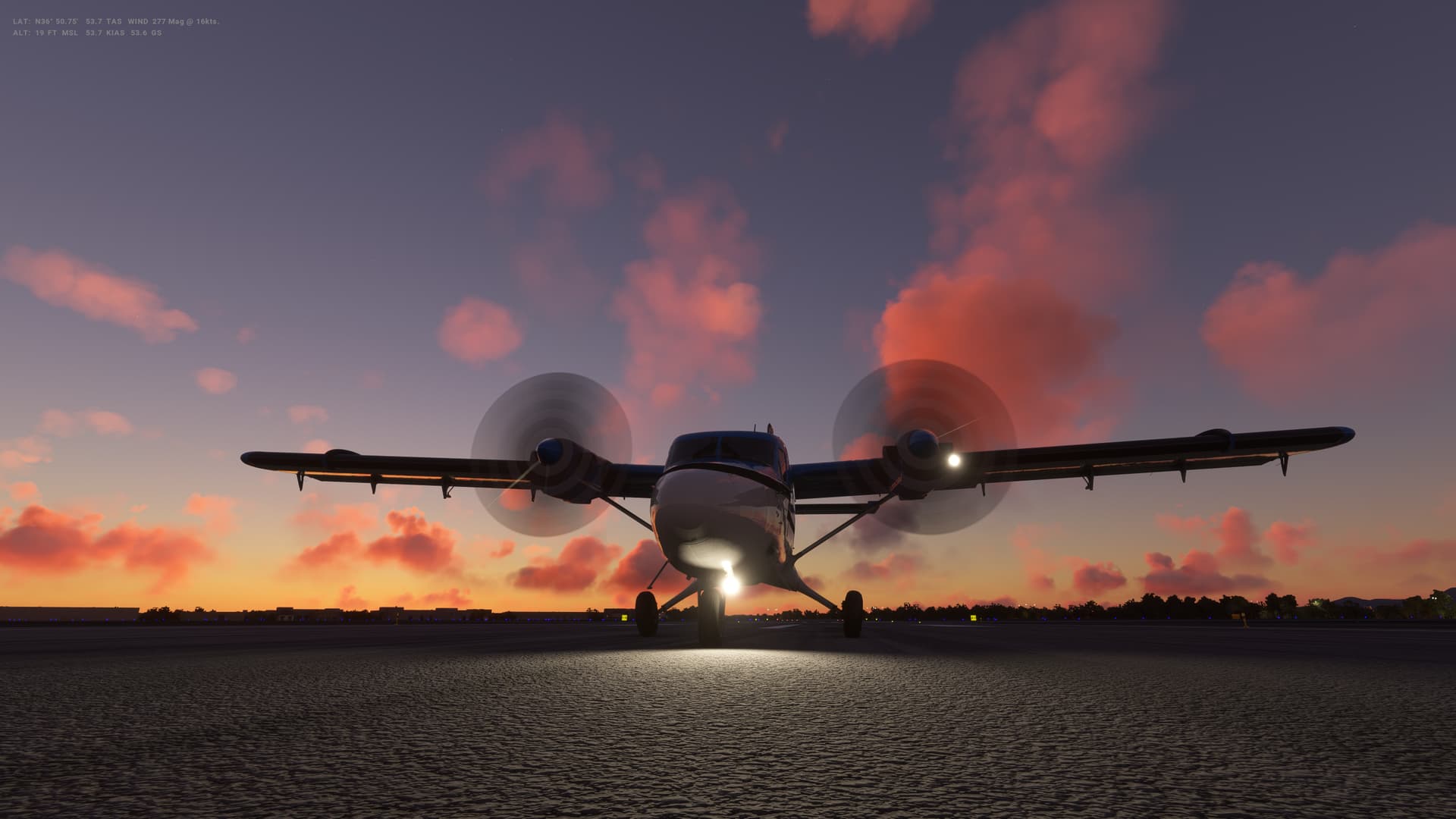
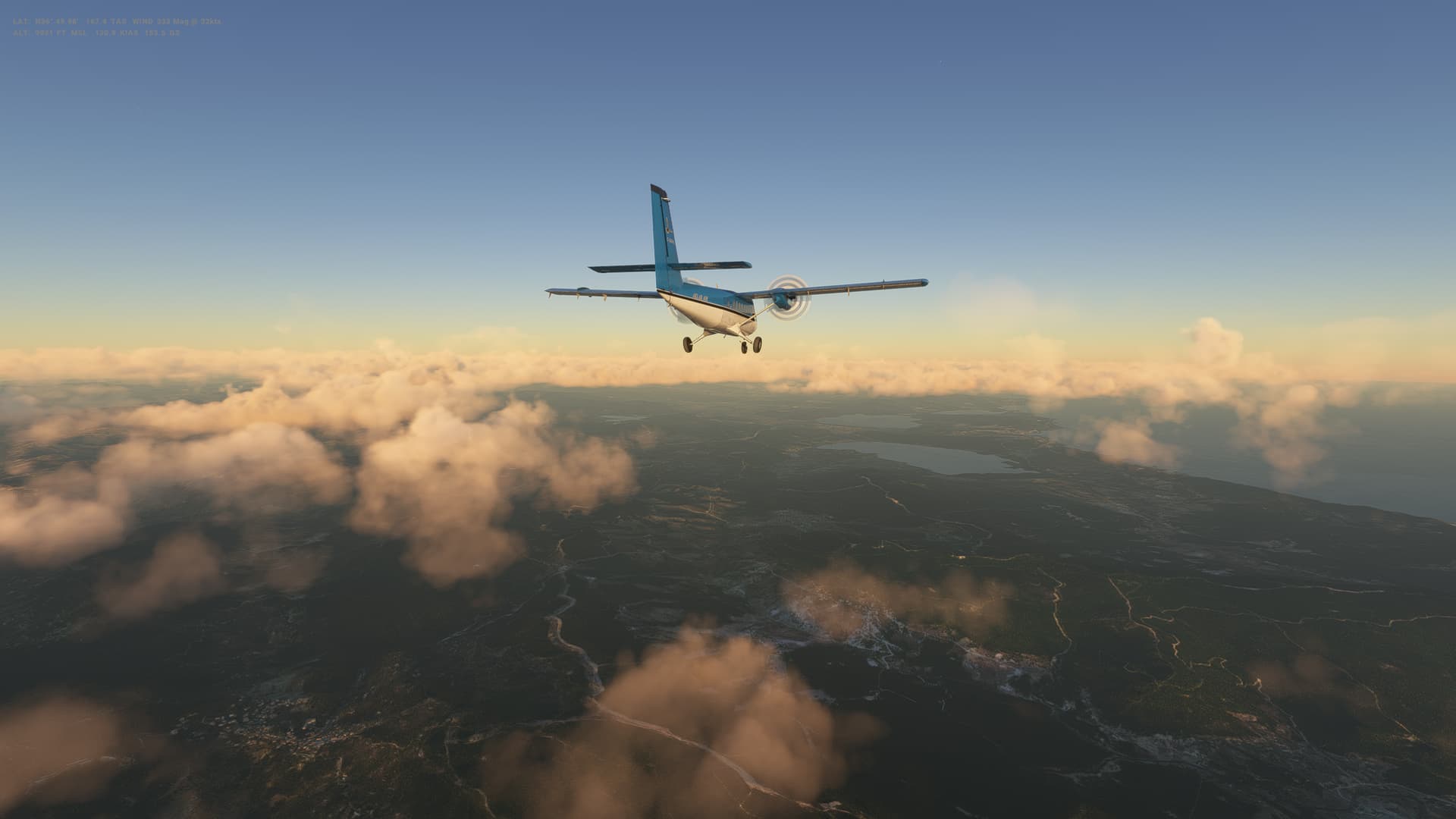
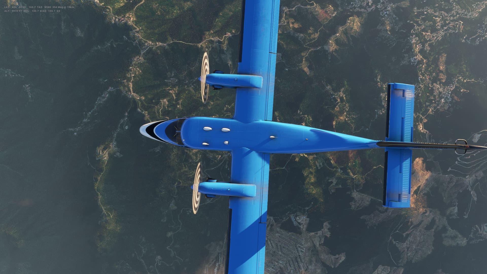
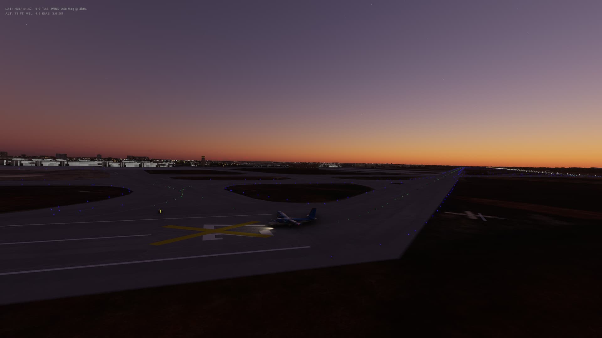
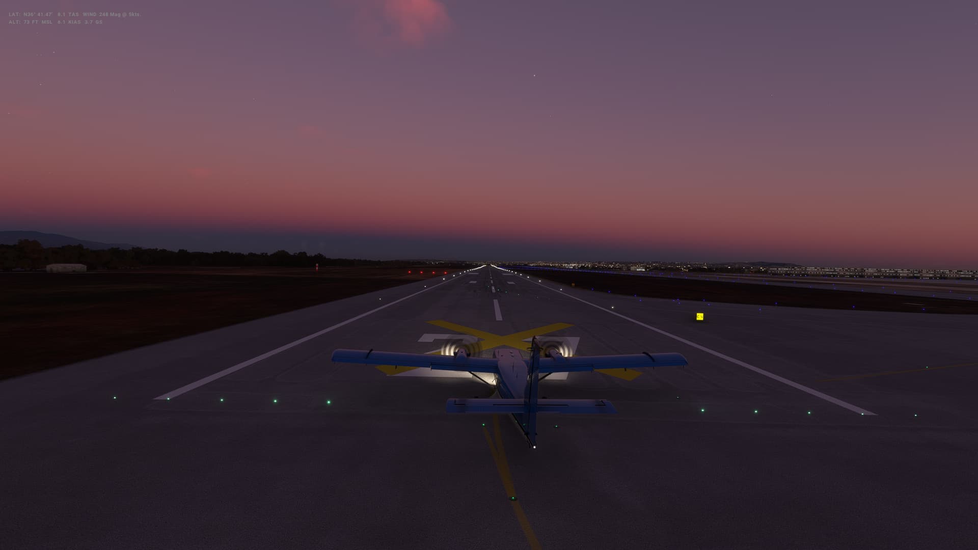
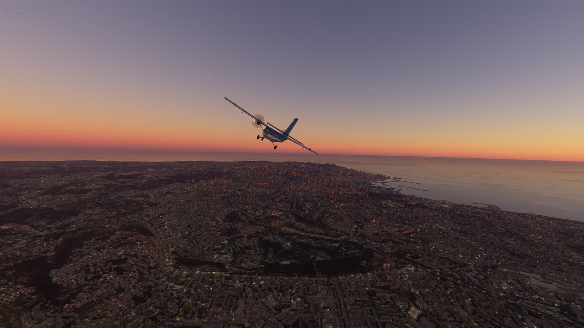
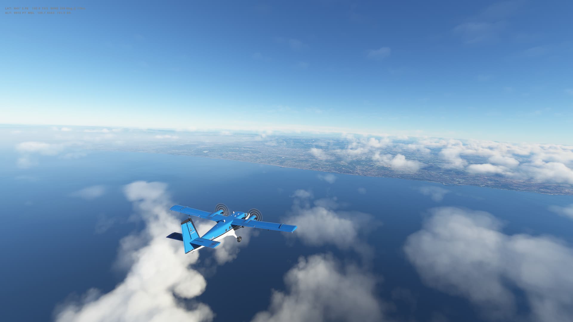
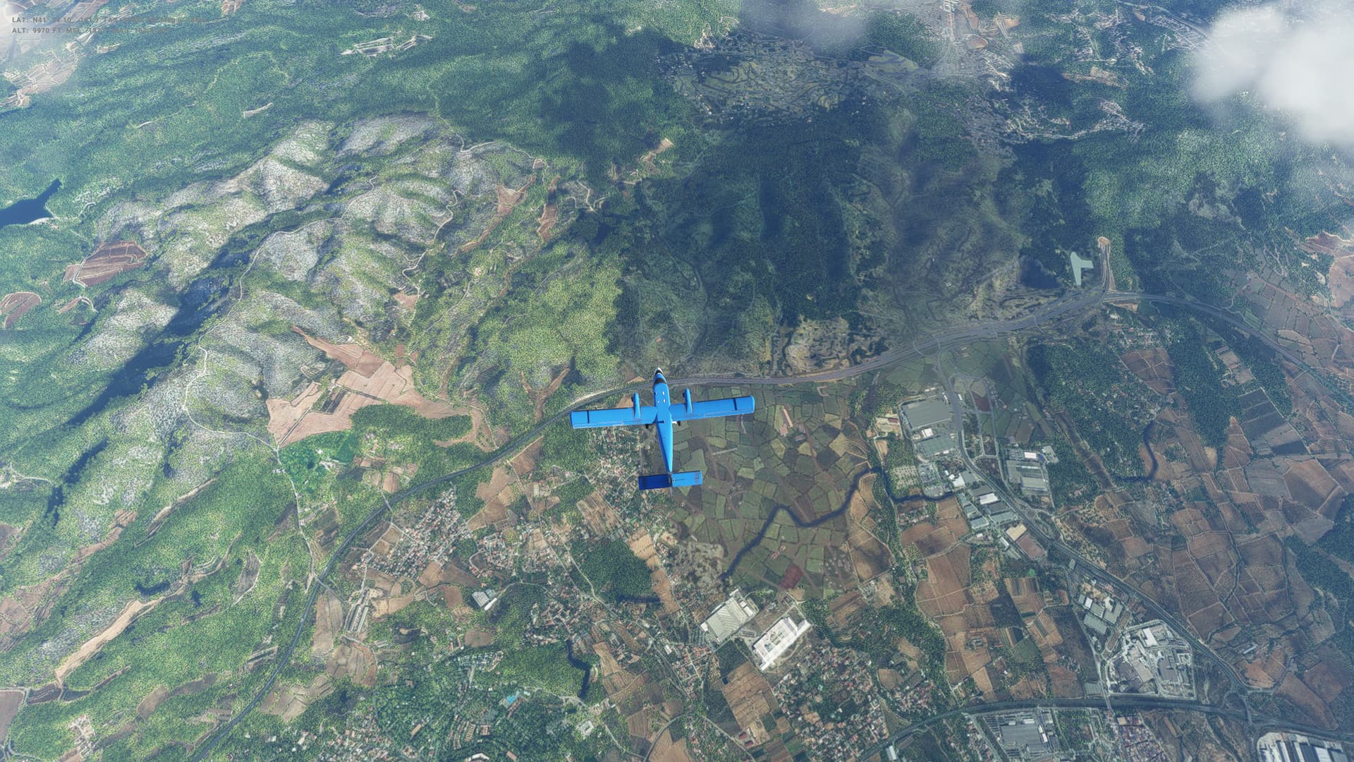
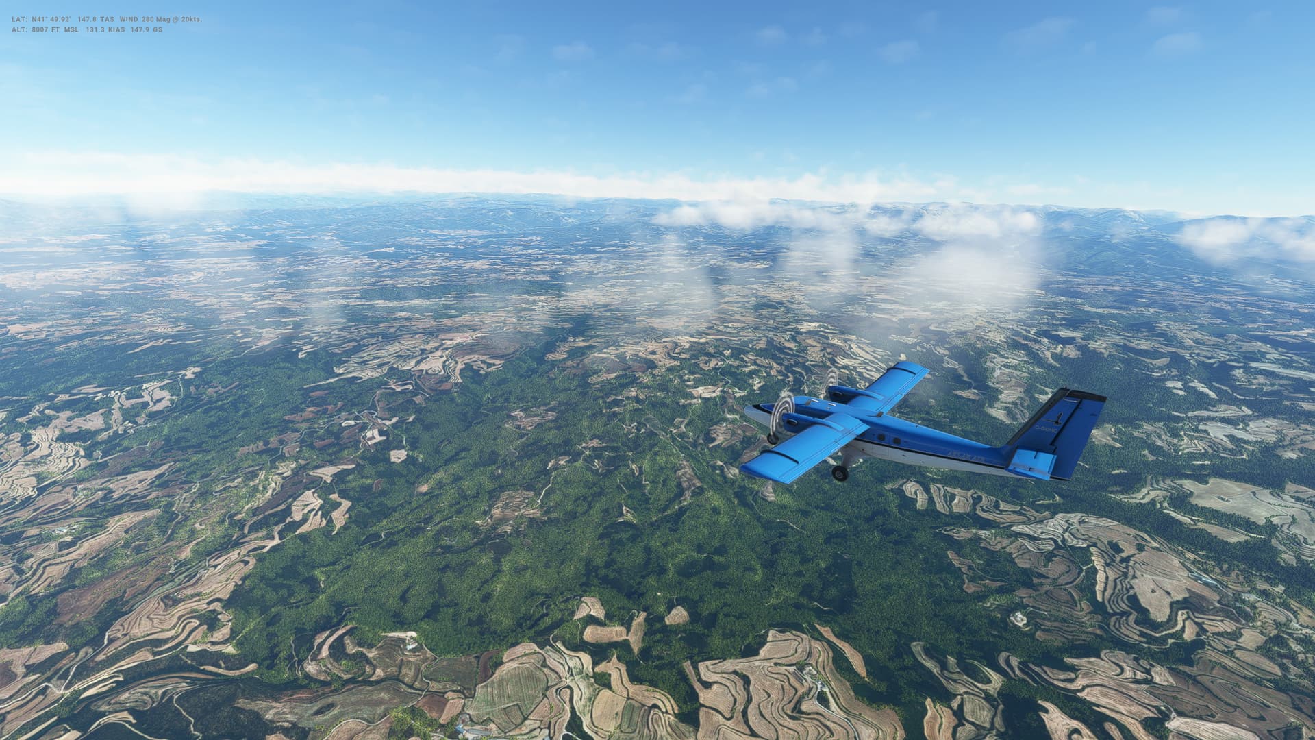
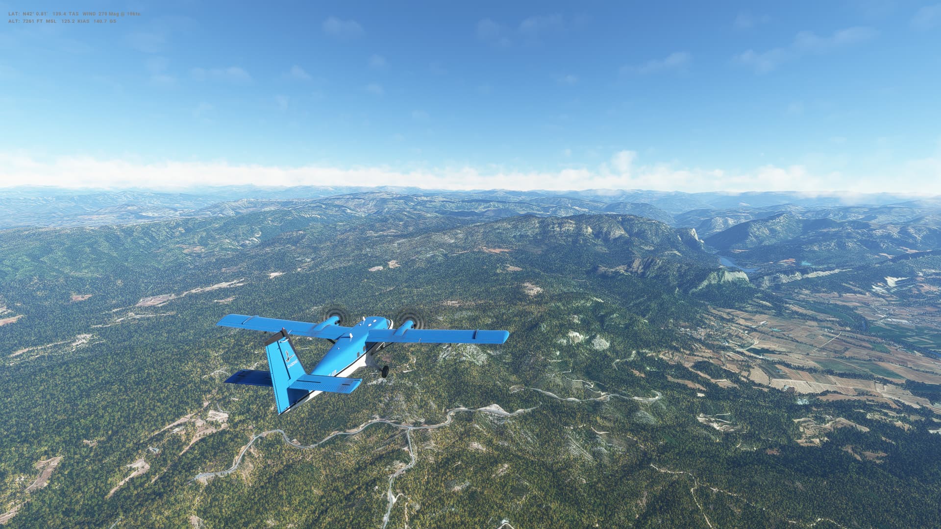
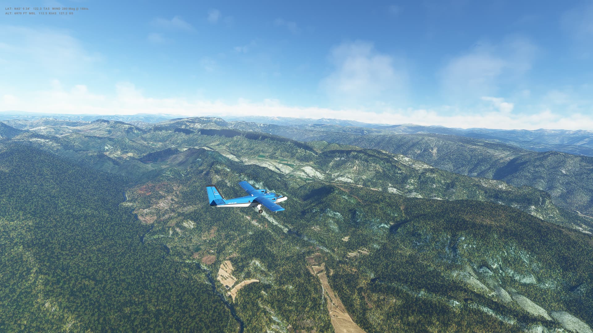
Flight number 4 in the Twin Otter, and we are heading back into Europe after a brief foray into Northern Africa.

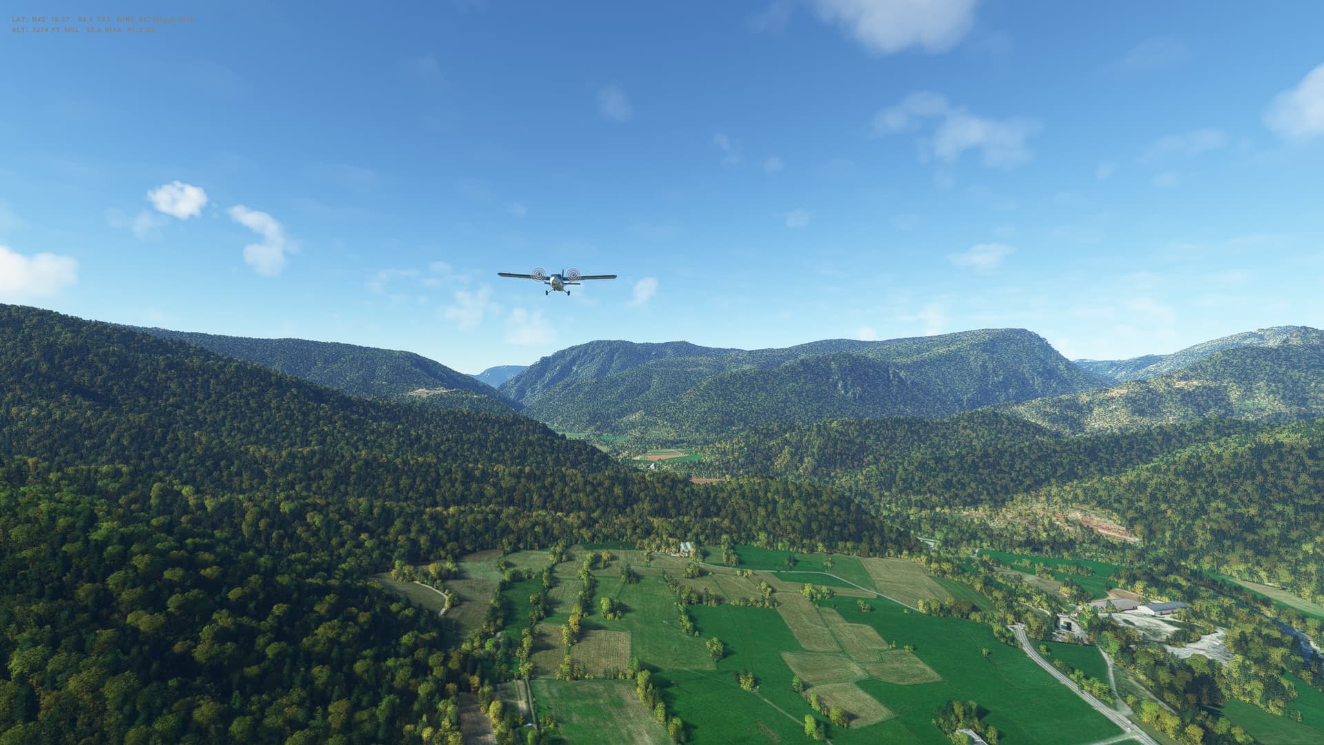
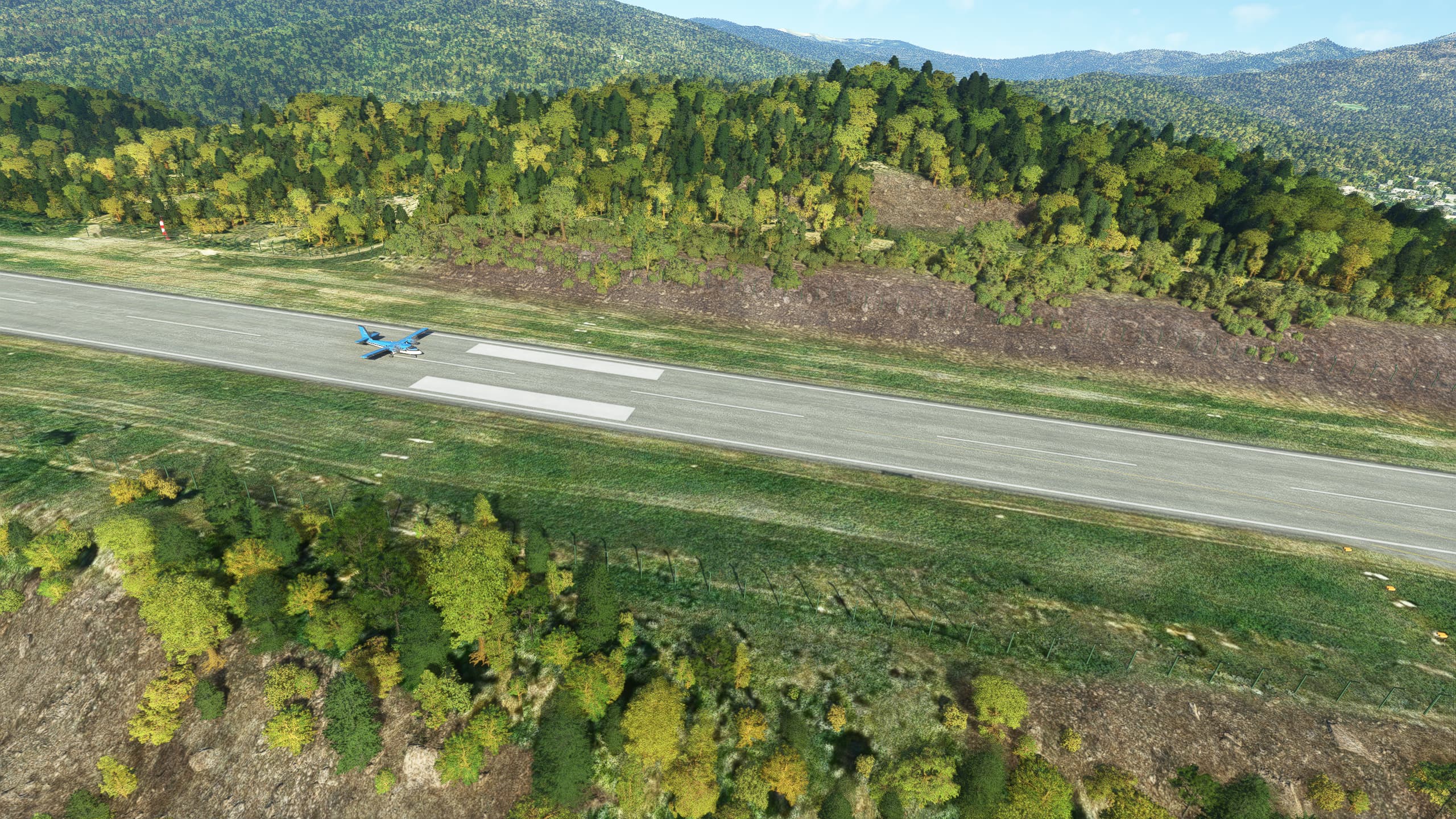
I’m struggling with this plane in two main areas - not sure if it is me, the plane or something else. On take off I need to use a fair bit of rudder to keep the centre line, and that leads to the plane starting to tilt over to the extent where it feels like we are going down the runway on one wheel - I probably need to apply some opposite aileron, so will try that next time.

On landing, the same thing happens, finding it really hard to land level and then the plane drifts to one side of the runway and I’m scared to apply too much rudder in case we tip over. This time I landed OK, but then drifted to the edge of the runway and put a wheel on the grass. I did get it down in one piece though, so not all bad.

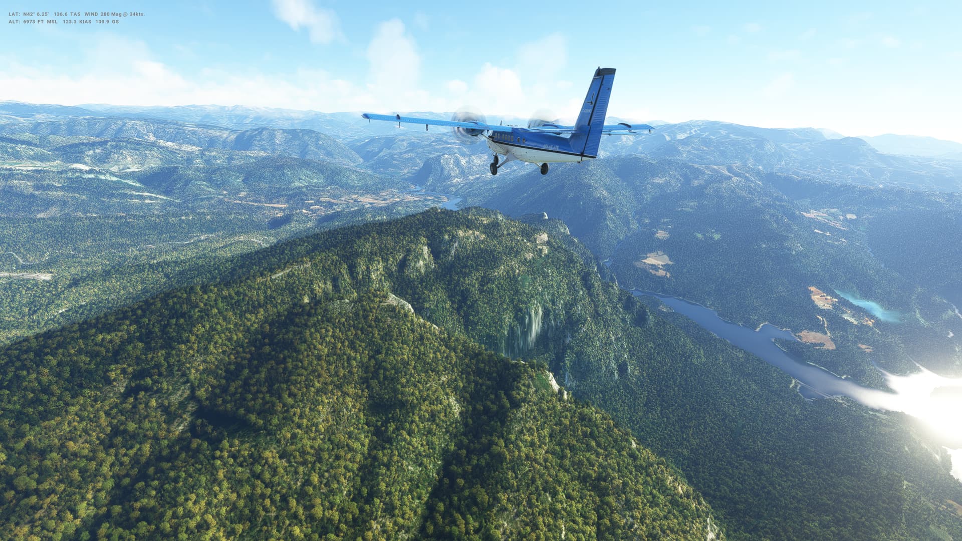
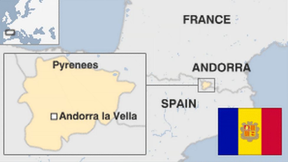
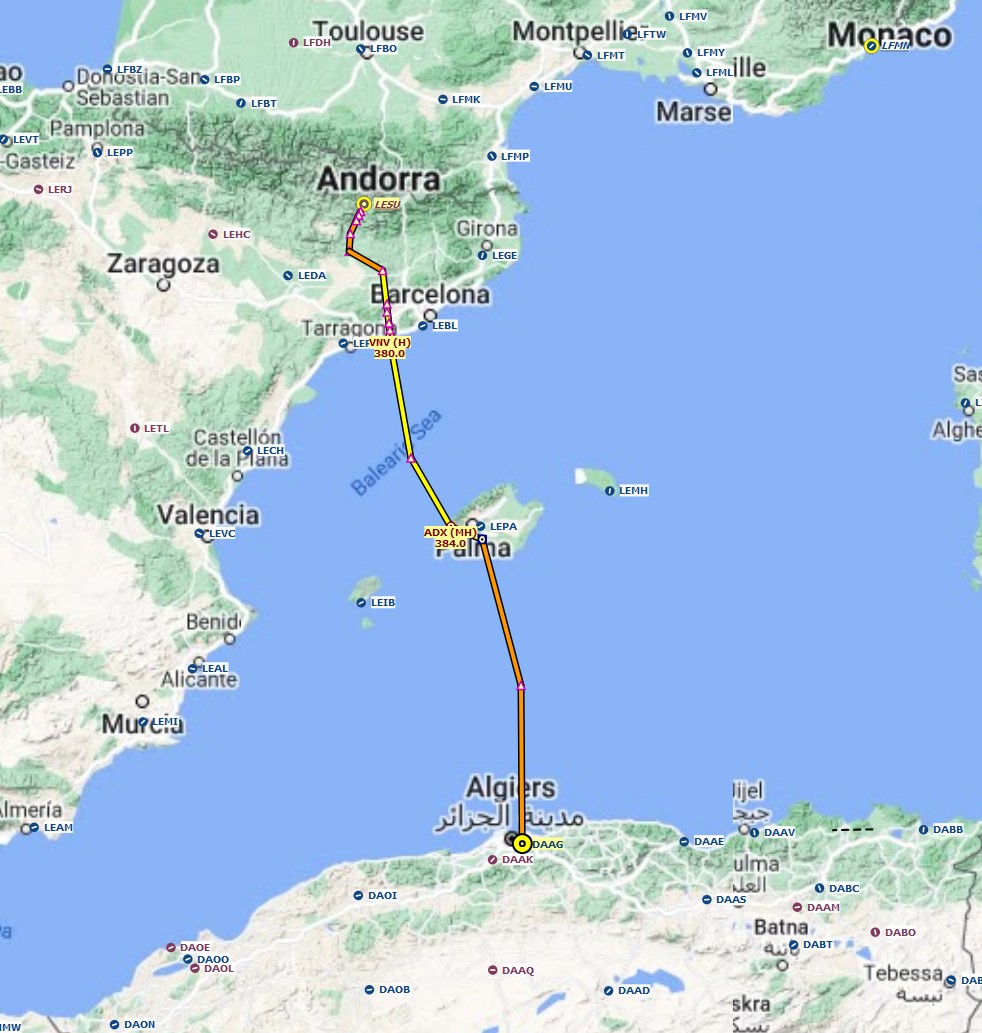
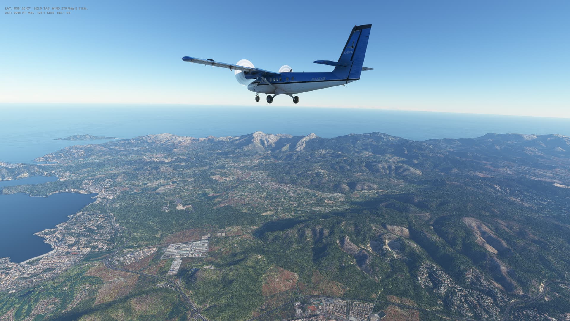
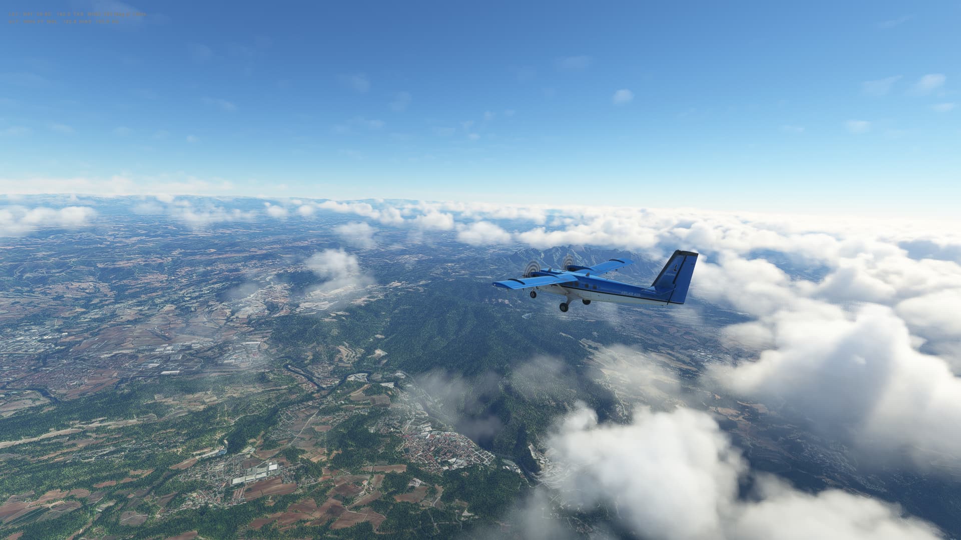
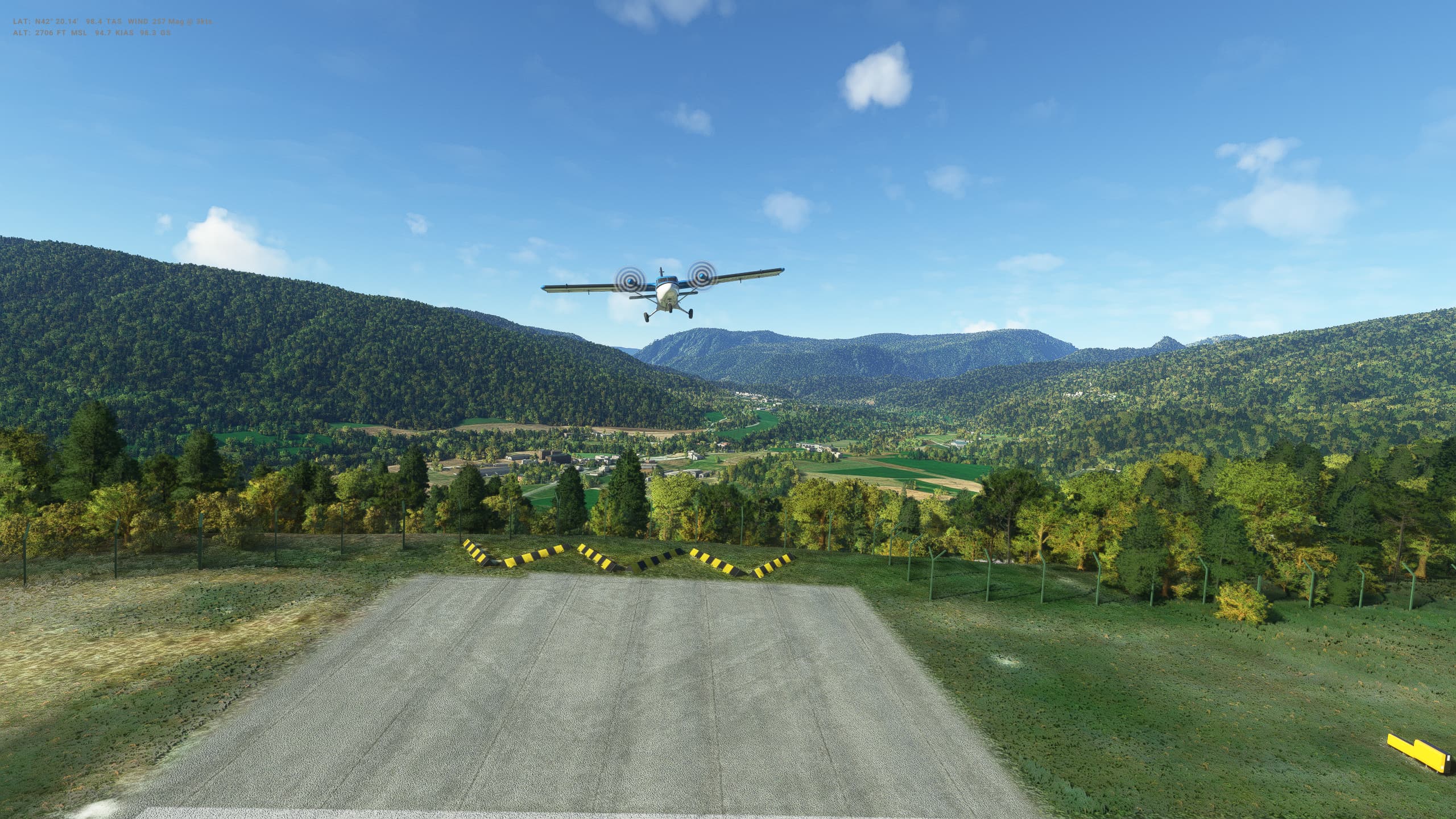
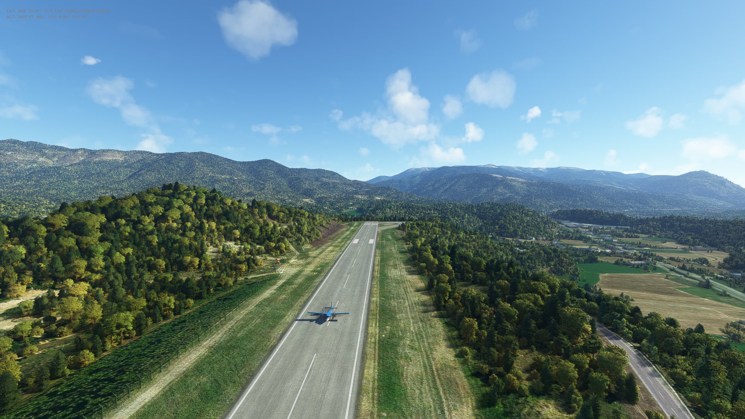
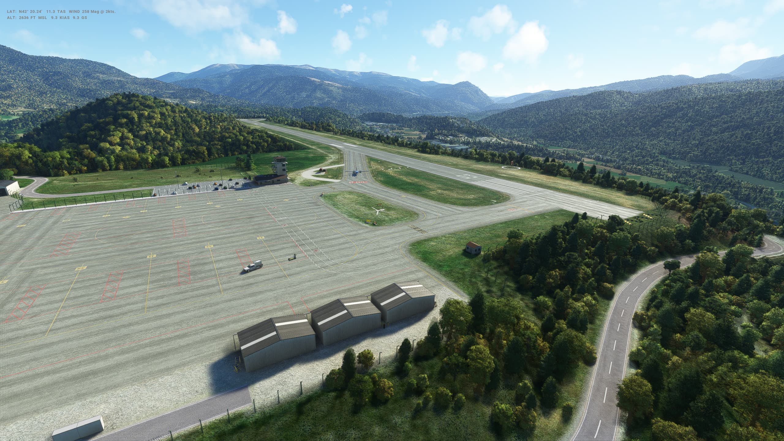
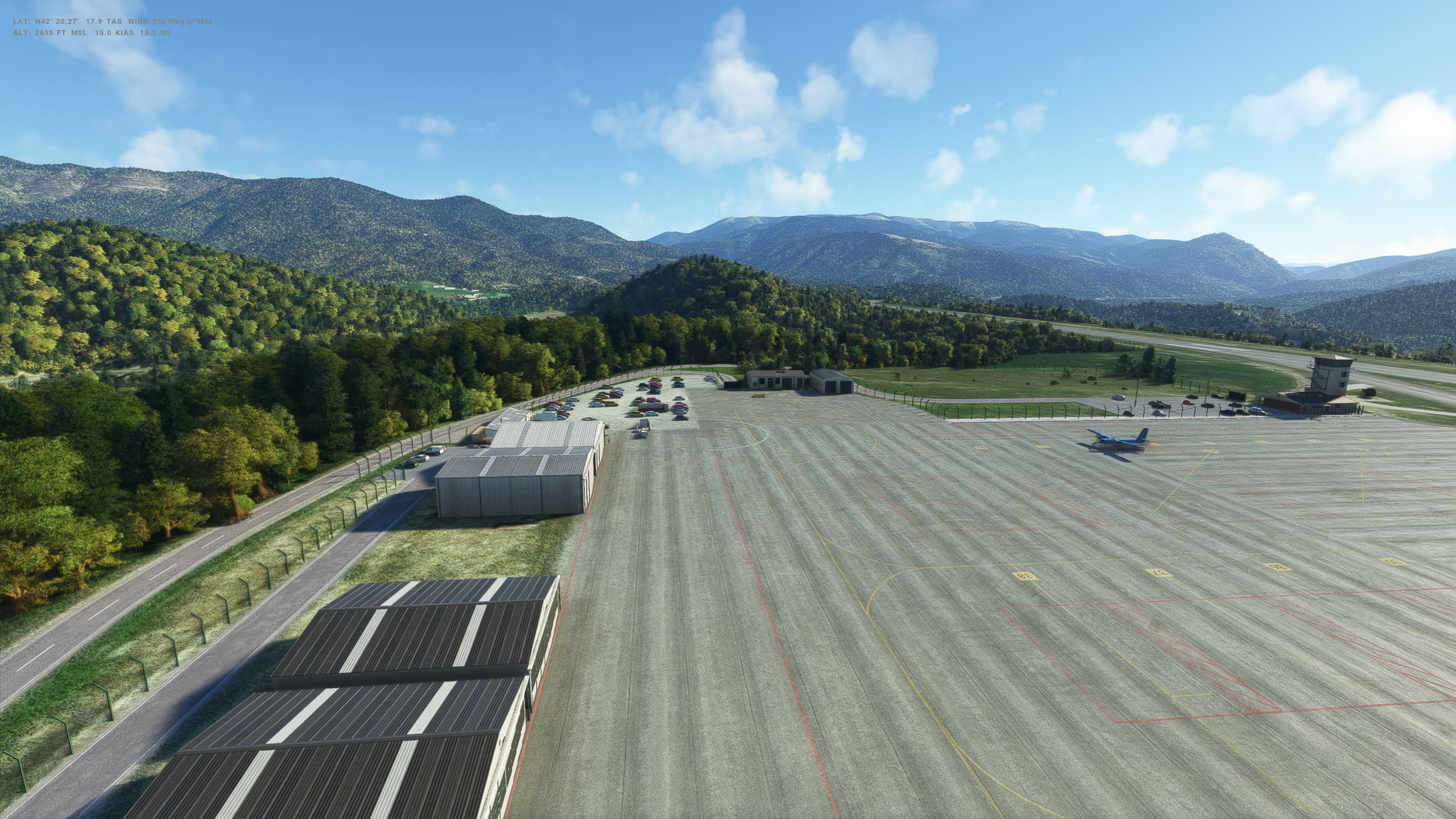
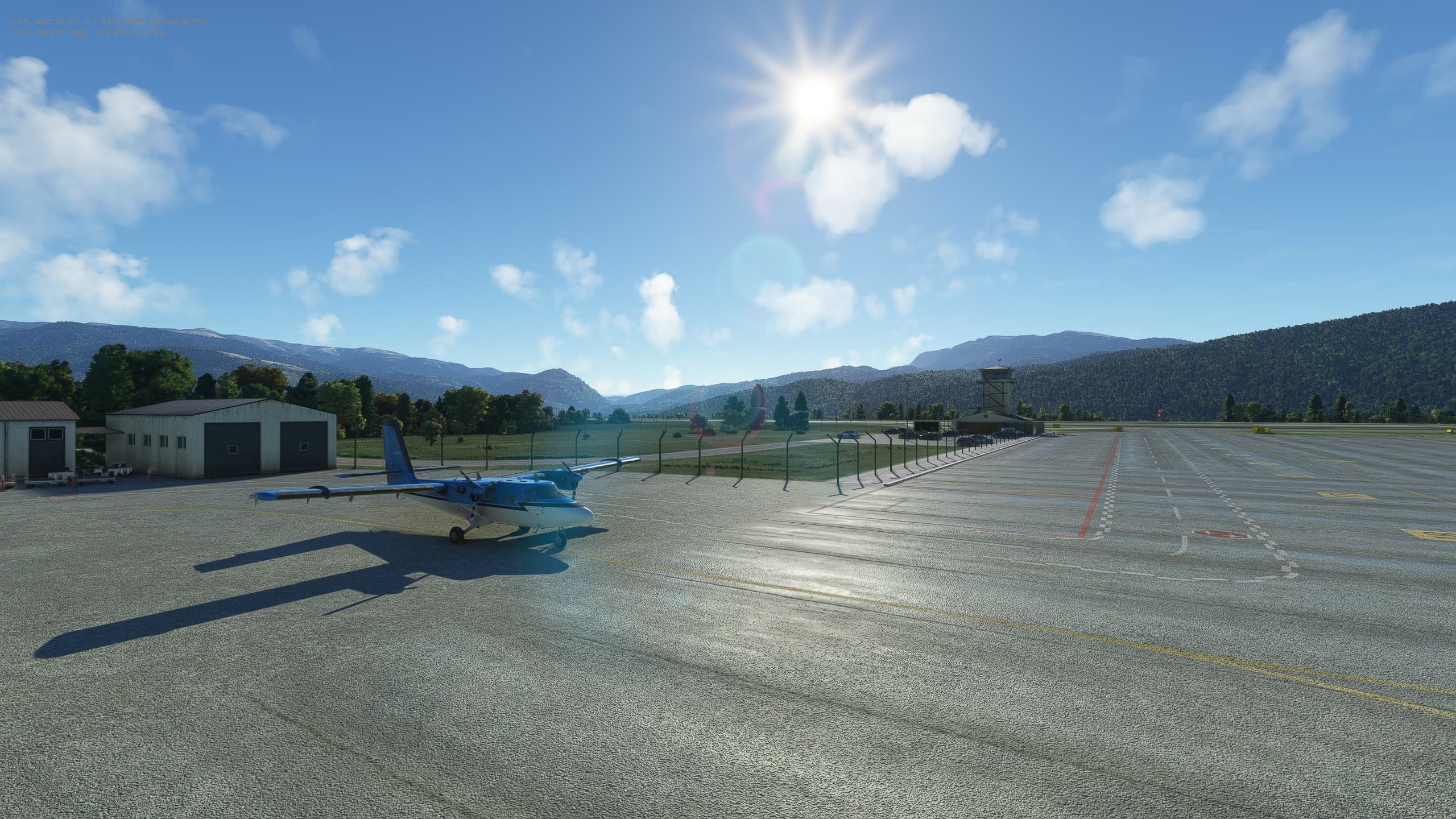
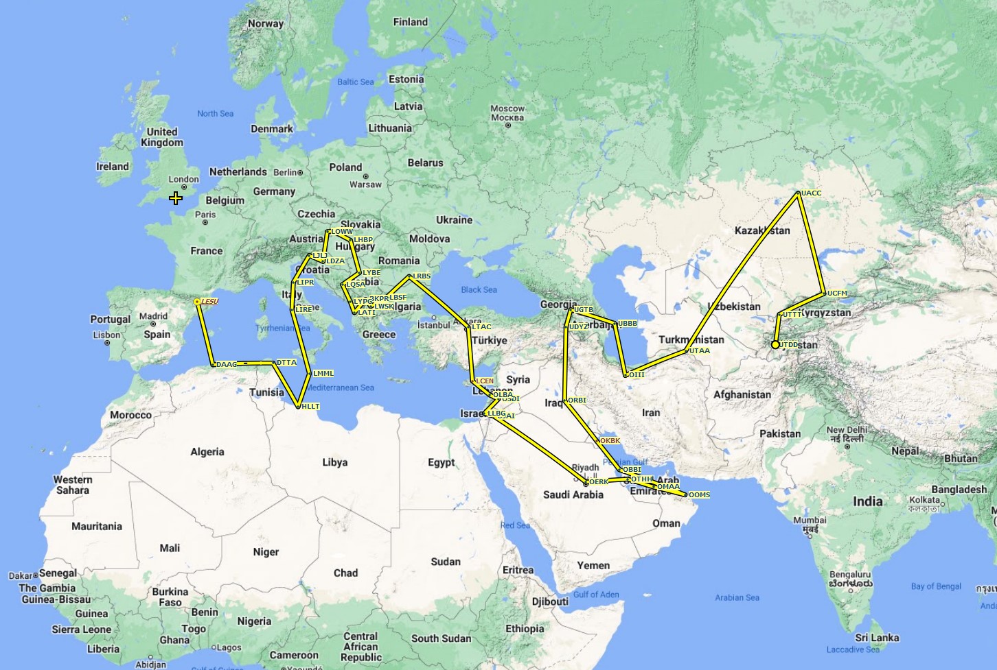
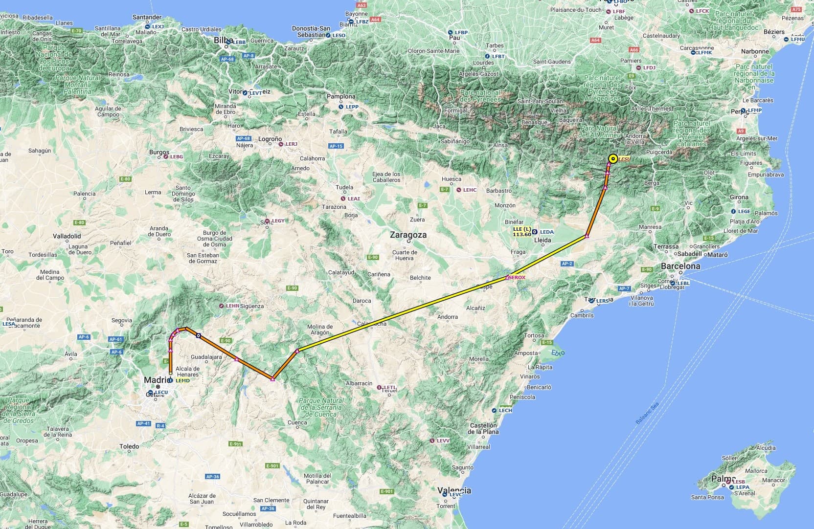
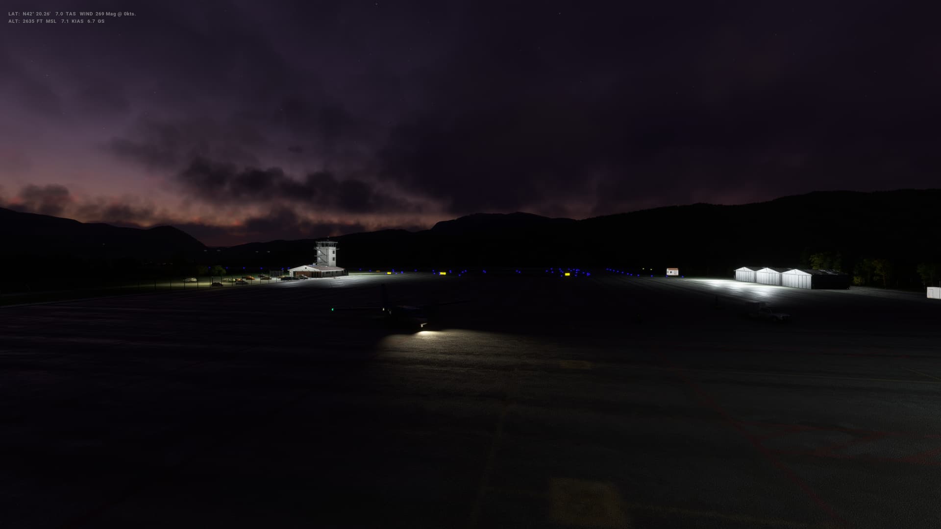
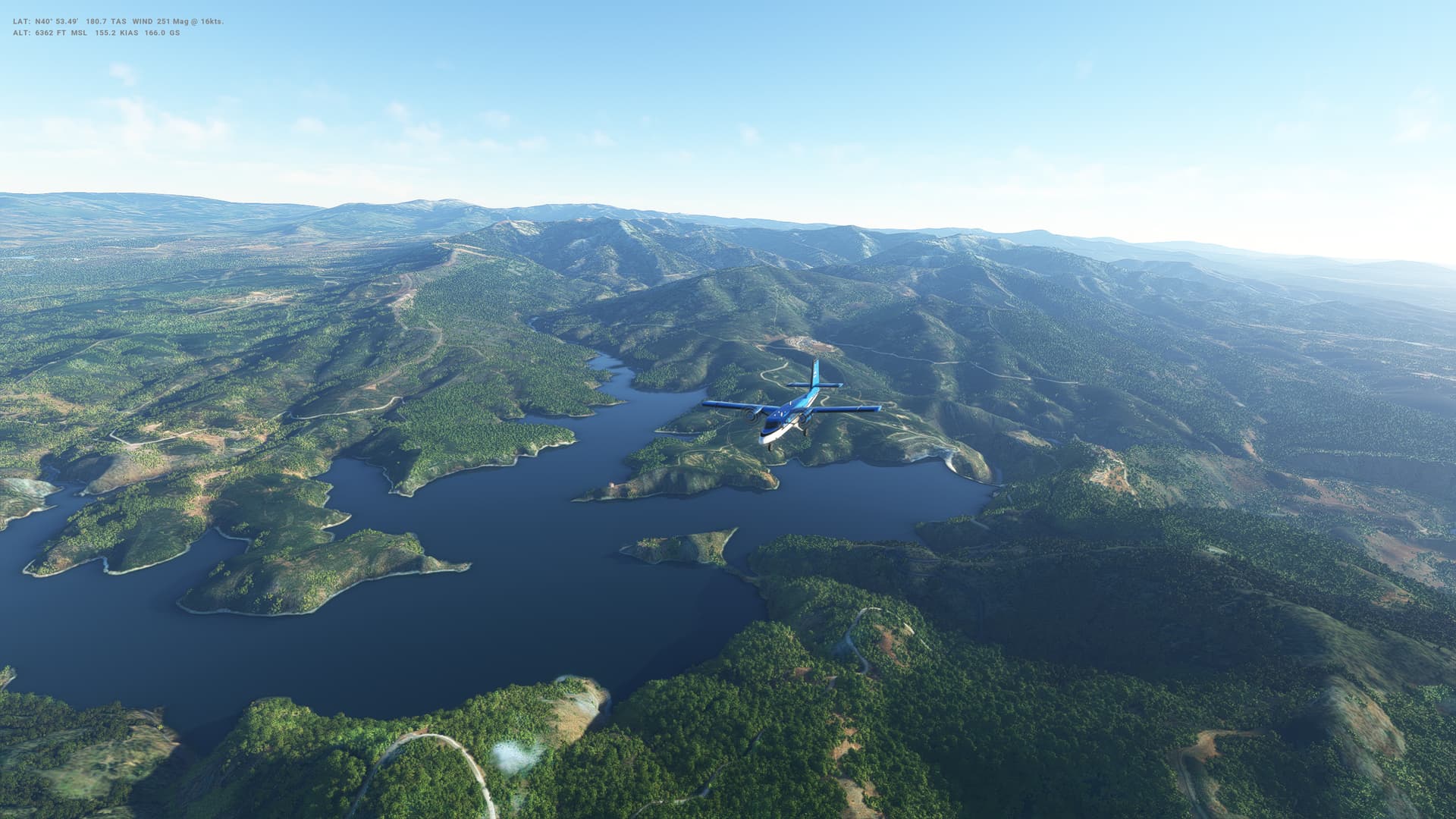
Andorra is a really interesting little airport. Built up on a plateau in a valley between some steepish hills, it’s a really beautiful approach. Wind was luckily not too bad and managed a reasonable descent, although, once again, speed on final approach is hard to maintain. Someplace to come back and visit again I think.

Weather was nice - a little cloudy at times, but generally good views.


Andorra

Map of Andorra

  • Capital: Andorra la Vella
  • Area: 467 sq km
  • Population: 77,500
  • Language: Catalan
  • Life expectancy: 80 years (men) 84 years (women)

Logbook
This Leg Leg 41
Date 22/04/2023
Aircraft DHC-6-300 Wheels Cargo 3-Blade
Departure Airport ICAO DAAG
Airport Houari Boumediene Airport
Capital City Algiers
Country Algeria
Runway 27
Arrival Airport ICAO LESU
Airport La Seu d’Urgell Airport (nearest)
Capital City Andorra la Vella
Country Andorra
Runway 03
Actual Time (Local) Pushback Time 05:45
Take Off Time 05:55
Touchdown Time 07:37
Arrival Time 07:54
Air time 01:42
Total Time 02:09
Ground Distance (Nm) 377
Air Distance (Nm) 354
Great Circle Distance (Nm) 349
Fuel Start (Kgs) 993
Fuel End (Kgs) 369
Fuel Used (Kgs) 624
SID MOGIL1B
Route DAAG/27 MOGIL1B MJV UN861 LATRO LATRO1F LESU/03
STAR LATRO1F
Approach RNAV 03
Passengers 16
Cargo (000 Kgs) 0
Take Off Weight (000 Kgs) 5.7
Cruising Altitude (feet) 10,000
Cumulative Ground Distance (Nm) 12,316
Air Distance (Nm) 12,348
Great Circle Distance (Nm) 9,722
Total air time 02:17
Total time 02:11:40
Fuel Used (Kgs) 94,148

Flightplan:

IFR (DAAG) to La Seu D Urgell Airport (LESU).lnmpln (3.7 KB)

Route Map:

Timelapse Video

Screenshots

Take Off


Cruise


Landing


Overall route so far

UTDD UTTT UCFM UACC UTAA OIII UBBB UGTB UDYZ ORBI OKBK OBBI OOMS OMAA OTHH OERK OJAI LLBG OSDI OLBA LCEN LTAC LRBS LBSF LWSK BKPR LATI LYPG LQSA LYBE LHBP LZIB LOWW LDZA LJLJ LIPR LIRE LMML HLLT DTTA DAAG LESU

1 Like

Leg 42: Andorra la Vella (LESU), Andorra to Madrid (LEMD), Spain


Summary

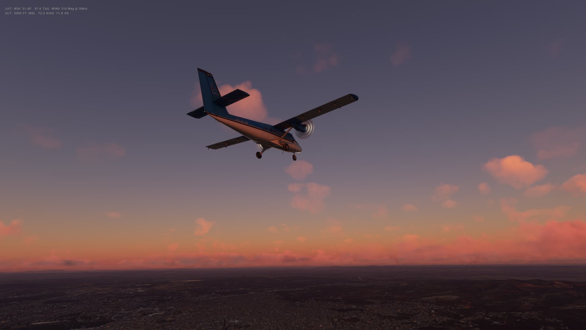
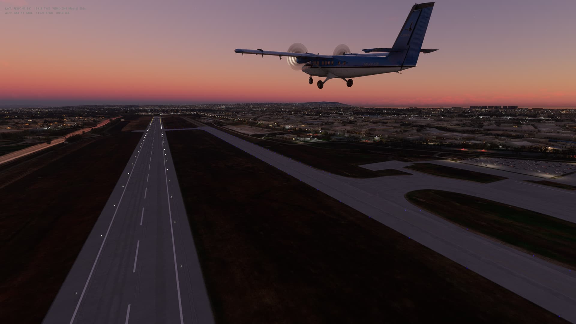
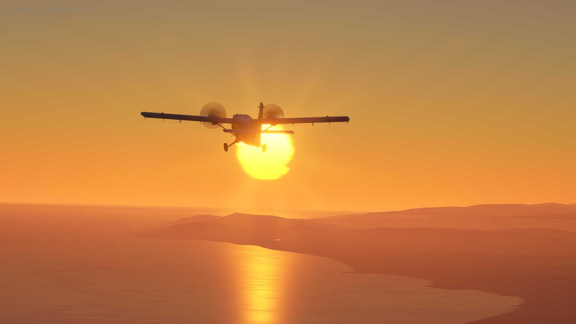
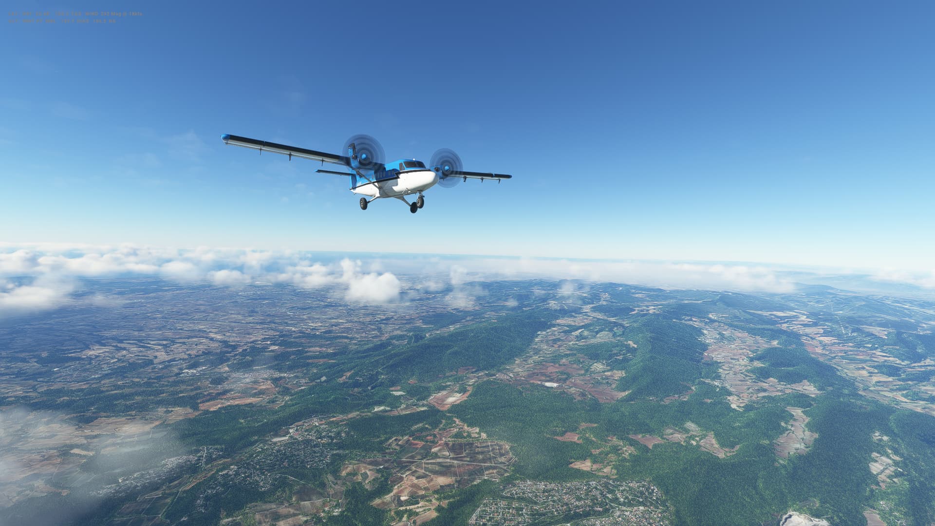
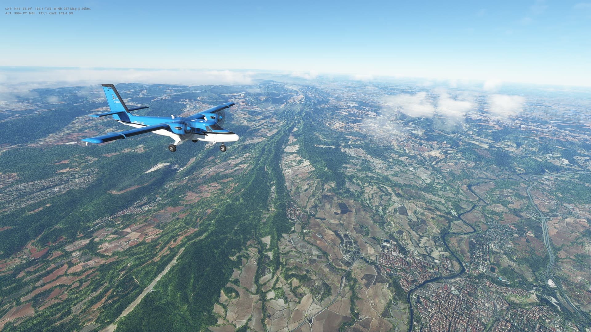
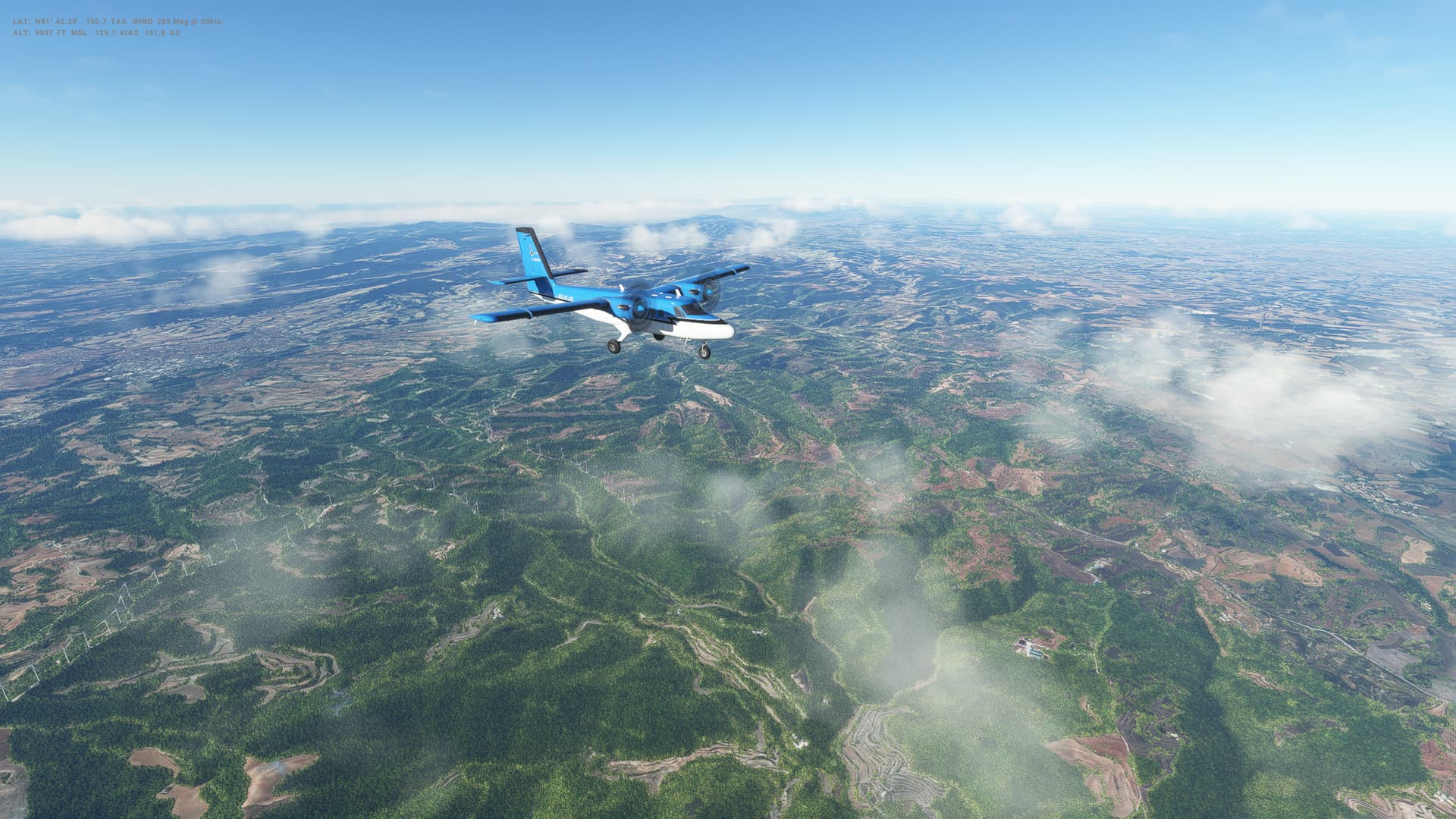
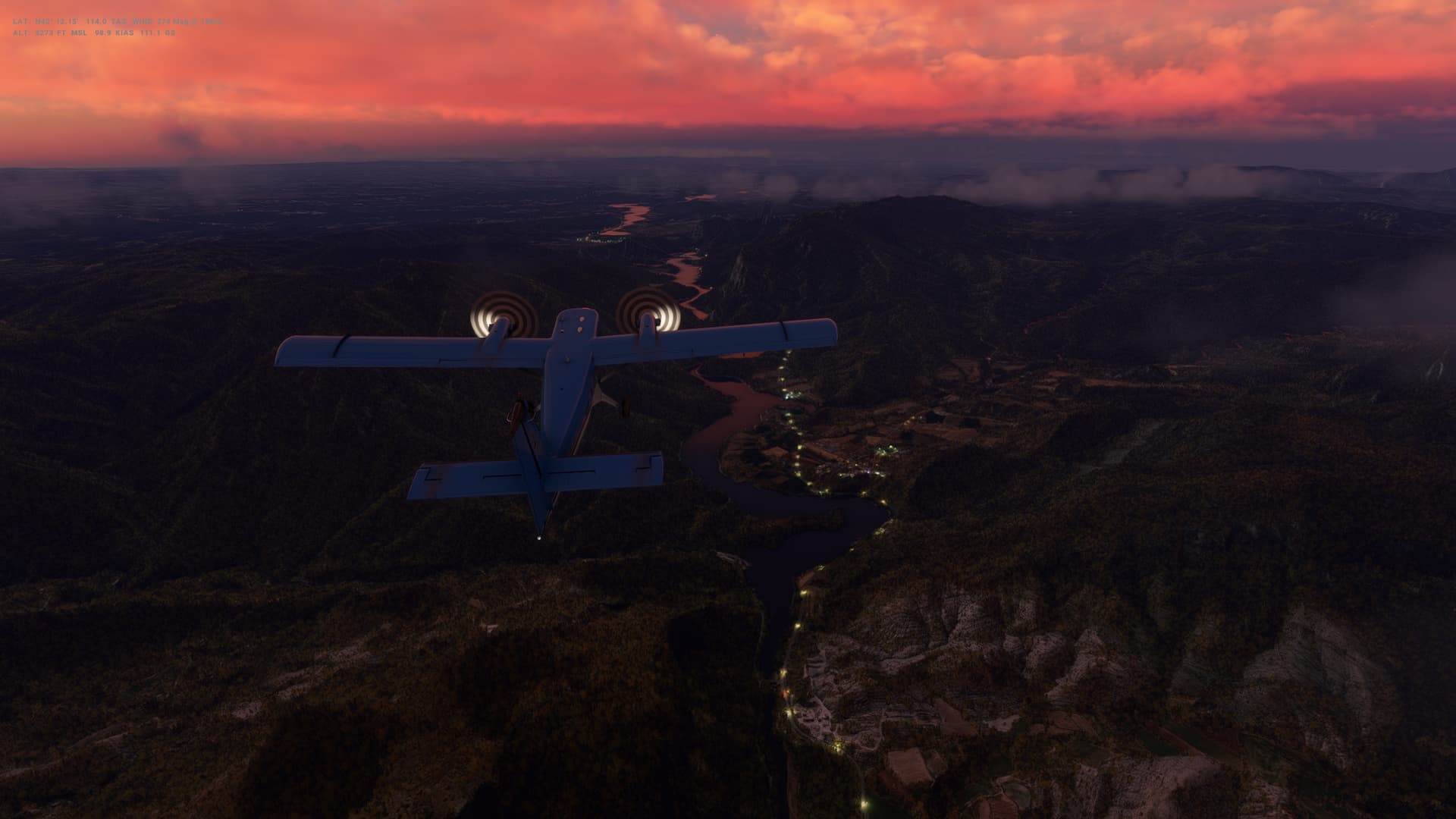
Our final flight in the Twin Otter takes us West over central Spain to Madrid. It’s an early morning sunrise take off for us, with stunning views over the mountains around Andorra. A really beautiful flight.

Certainly got to grips with much of the Twin Otter now - although landings remain a handlful. Landing at slightly faster speed with less flaps seems the way to go but I still get a lot of runway drift on landing that correcting with the rudder makes me feel like we are tipping over.

Next up is the CRJ-1000, a plane I’ve never flown, so I think some practice is going to be needed before we leave Madrid!
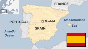
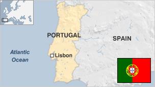

Spain

Map of Spain

  • Capital: Madrid
  • Area: 505,990 sq km
  • Population: 47.1 million
  • Language: Spanish
  • Life expectancy: 79 years (men) 85 years (women)

Logbook
This Leg Leg 42
Date 26/04/2023
Aircraft DHC-6-300 Wheels Cargo 3-Blade
Departure Airport ICAO LESU
Airport La Seu d’Urgell Airport (nearest)
Capital City Andorra la Vella
Country Andorra
Runway 21
Arrival Airport ICAO LEMD
Airport Adolfo Suárez Madrid-Barajas International Airport
Capital City Madrid
Country Spain
Runway 18L
Actual Time (Local) Pushback Time 06:30
Take Off Time 06:38
Touchdown Time 08:13
Arrival Time 08:18
Air time 01:35
Total Time 01:48
Ground Distance (Nm) 291
Air Distance (Nm) 312
Great Circle Distance (Nm) 251
Fuel Start (Kgs) 1,031
Fuel End (Kgs) 495
Fuel Used (Kgs) 536
SID REBU1Z
Route LESU/21 REBU1Z SEROX DCT TERSA TERSA7E LEMD/18L
STAR TERSA7E
Approach ILS Z 18L
Passengers 16
Cargo (000 Kgs) 0
Take Off Weight (000 Kgs) 5.7
Cruising Altitude (feet) 9,000
Cumulative Ground Distance (Nm) 12,607
Air Distance (Nm) 12,660
Great Circle Distance (Nm) 9,973
Total air time 03:52
Total time 02:13:28
Fuel Used (Kgs) 94,684

Flightplan:

IFR La Seu D Urgell Airport (LESU) to (LEMD).lnmpln (1.7 KB)

Route Map:

Timelapse Video

Screenshots

Take Off


Cruise


Landing


Overall route so far

UTDD UTTT UCFM UACC UTAA OIII UBBB UGTB UDYZ ORBI OKBK OBBI OOMS OMAA OTHH OERK OJAI LLBG OSDI OLBA LCEN LTAC LRBS LBSF LWSK BKPR LATI LYPG LQSA LYBE LHBP LZIB LOWW LDZA LJLJ LIPR LIRE LMML HLLT DTTA DAAG LESU LEMD

1 Like

Leg 43: Madrid (LEMD), Spain to Gibraltar (LXGB), Gibraltar


Summary

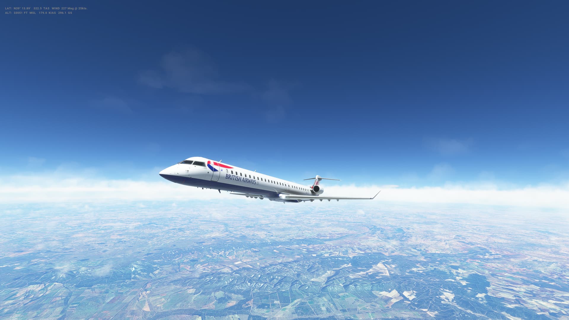
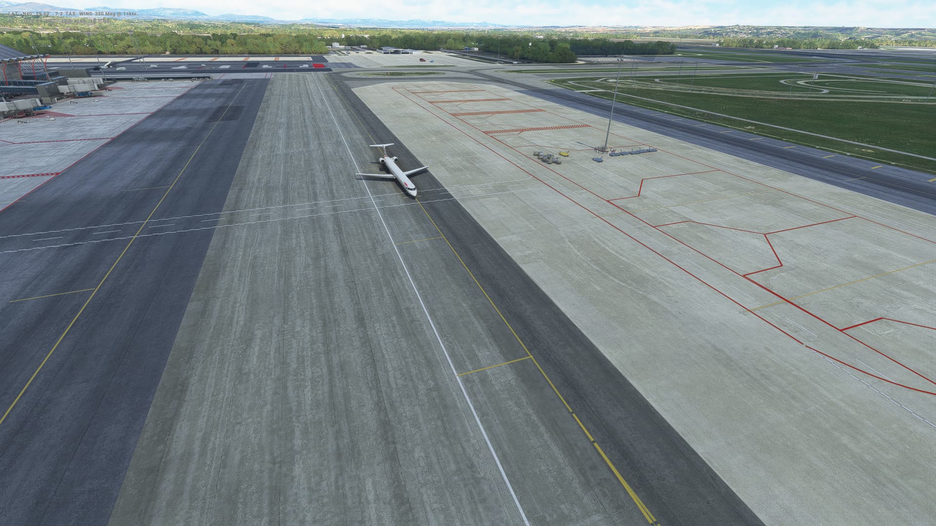
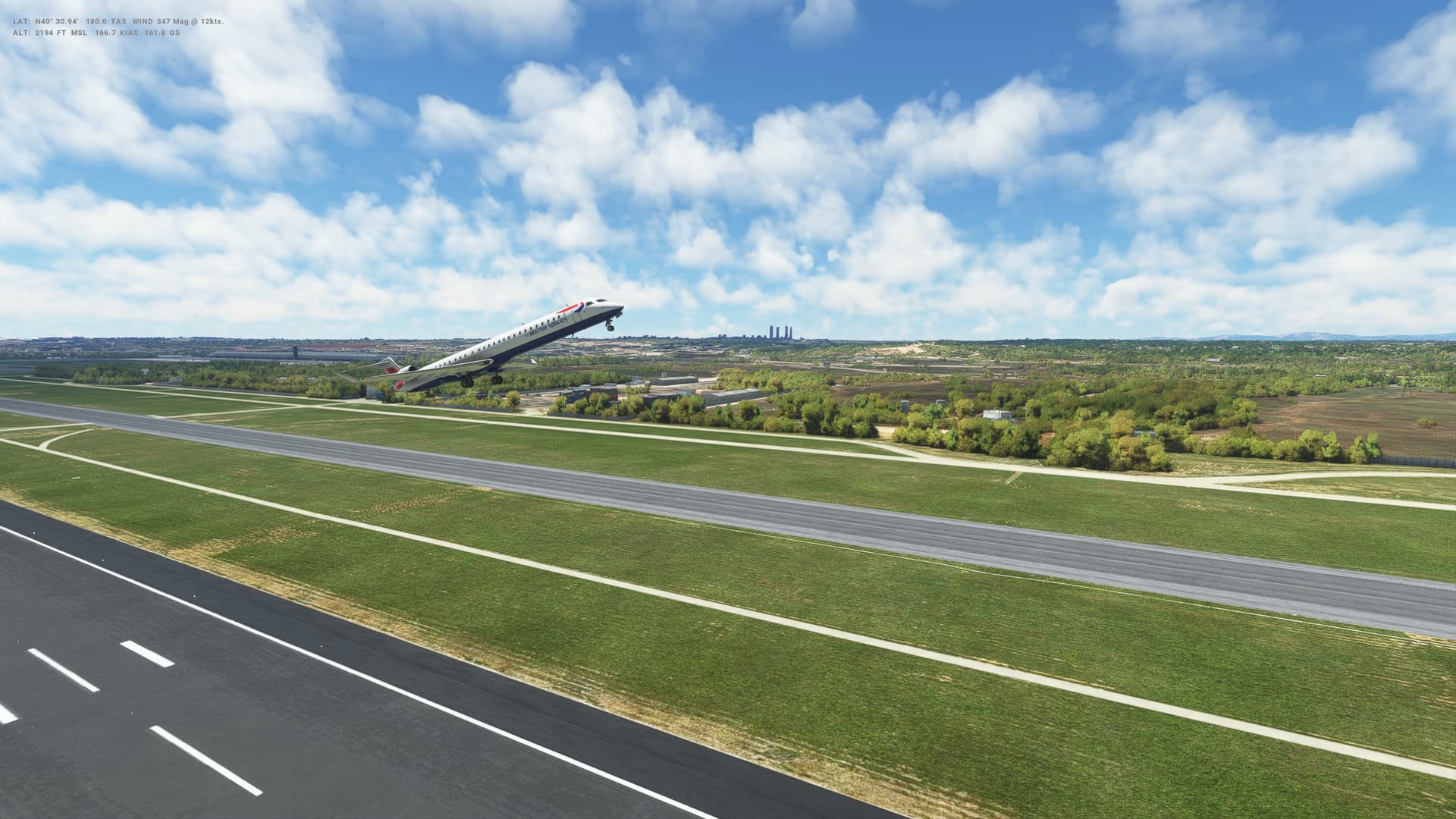
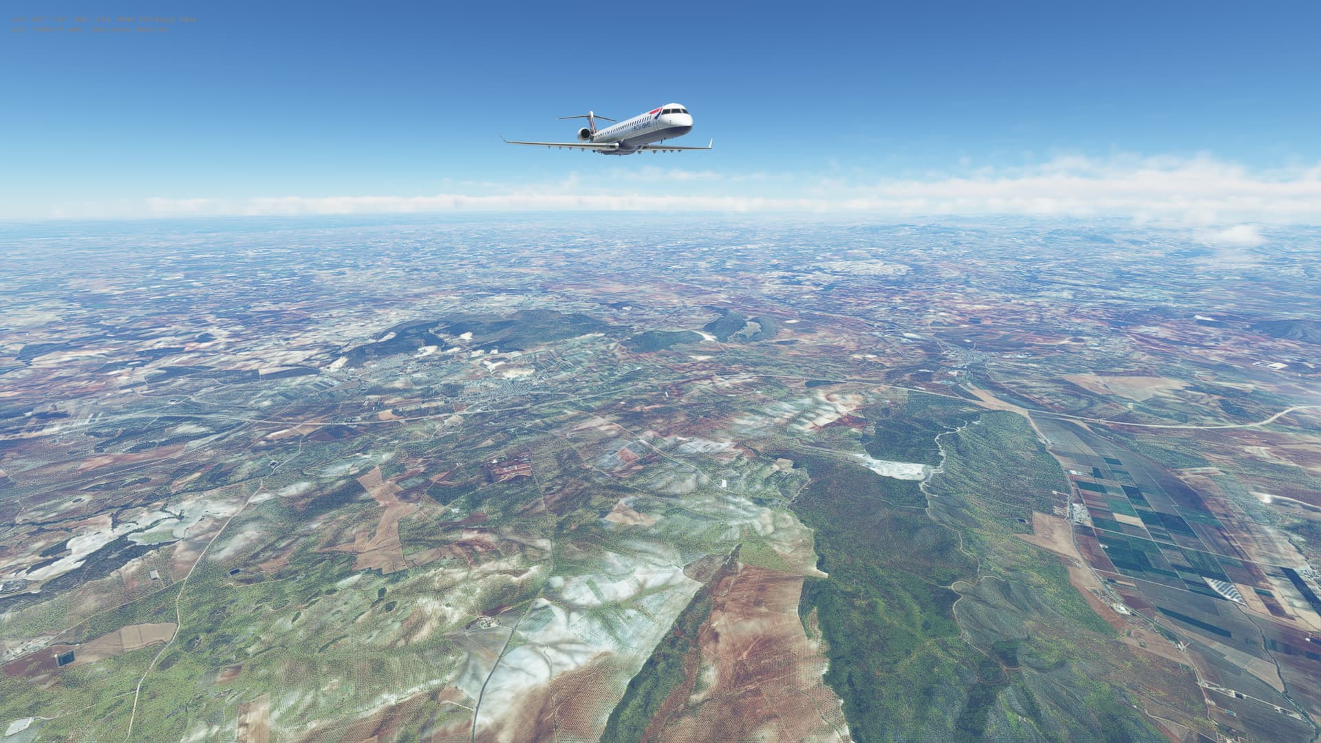
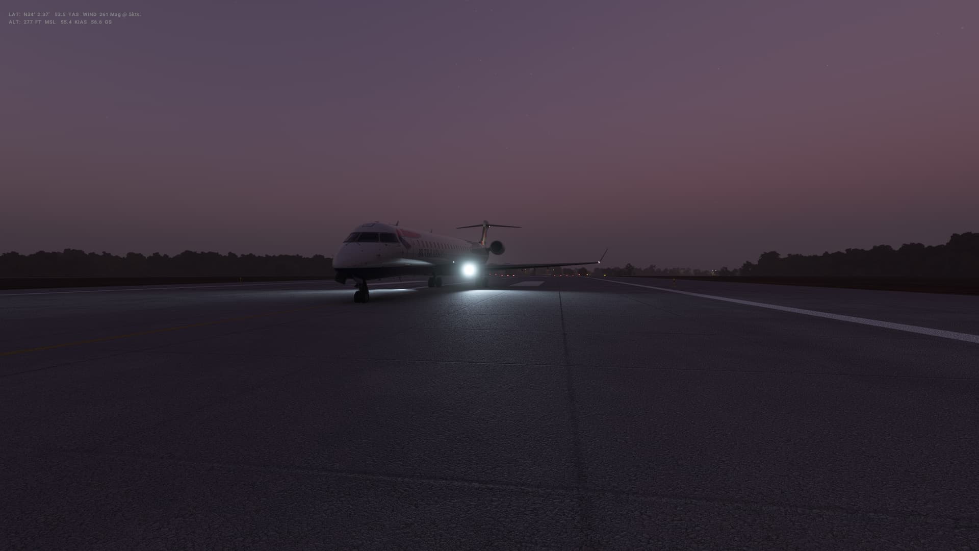
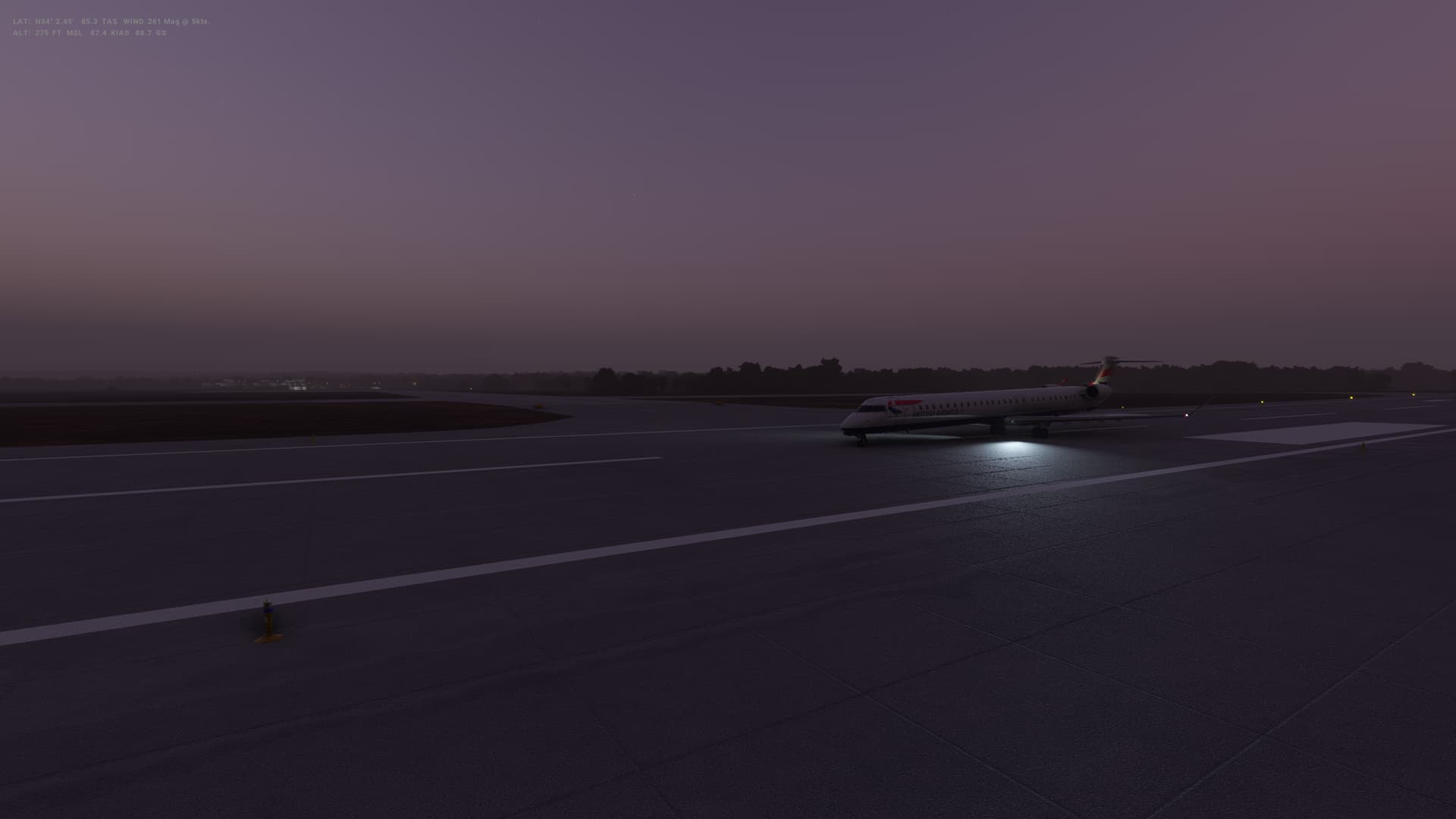
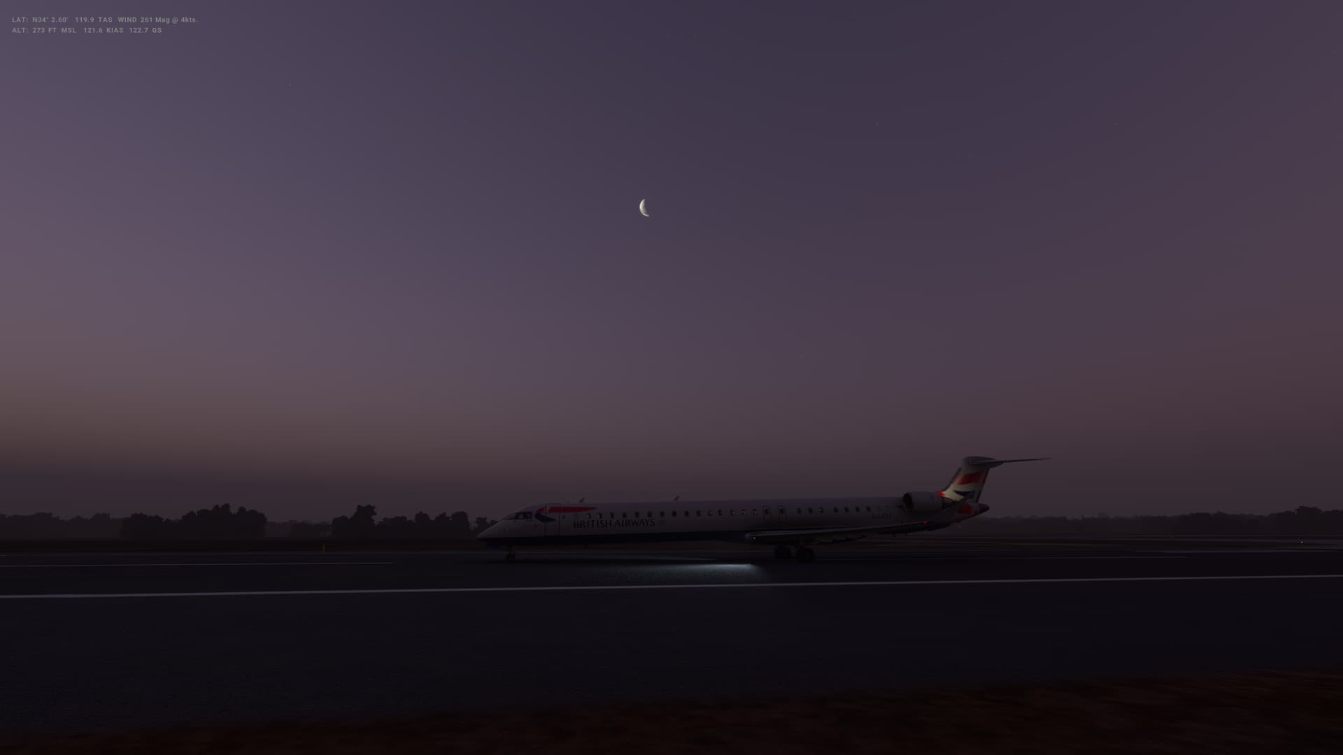
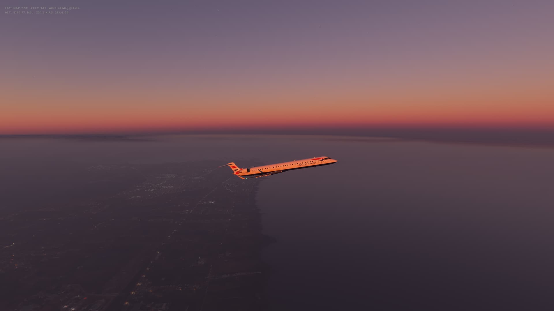
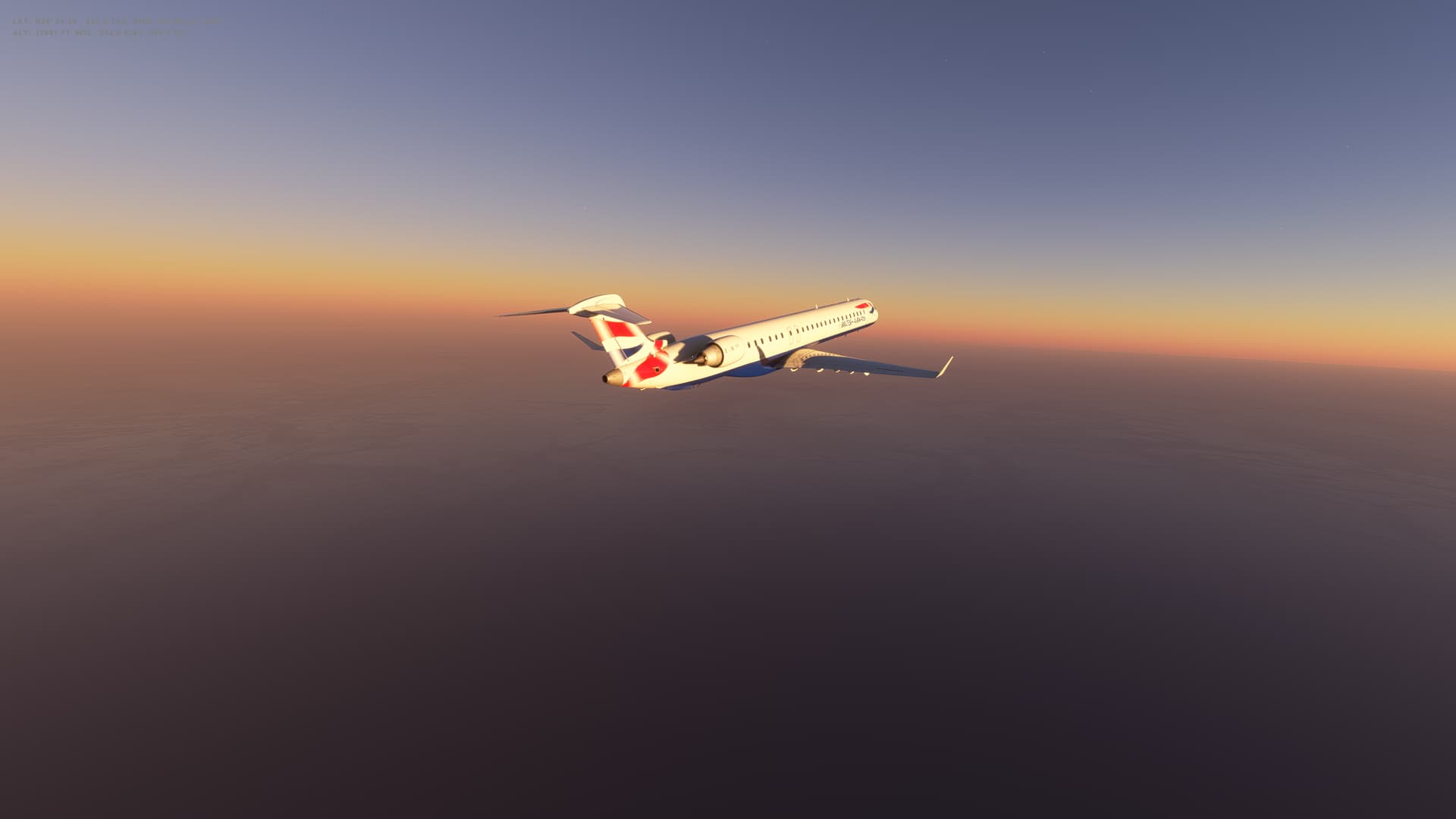
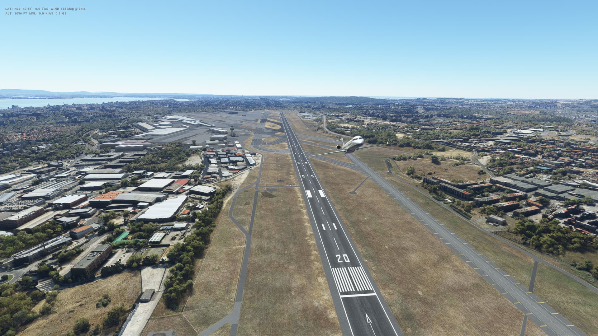
This is our first flight in the CRJ-1000 - a bit different to the Twin Otter!

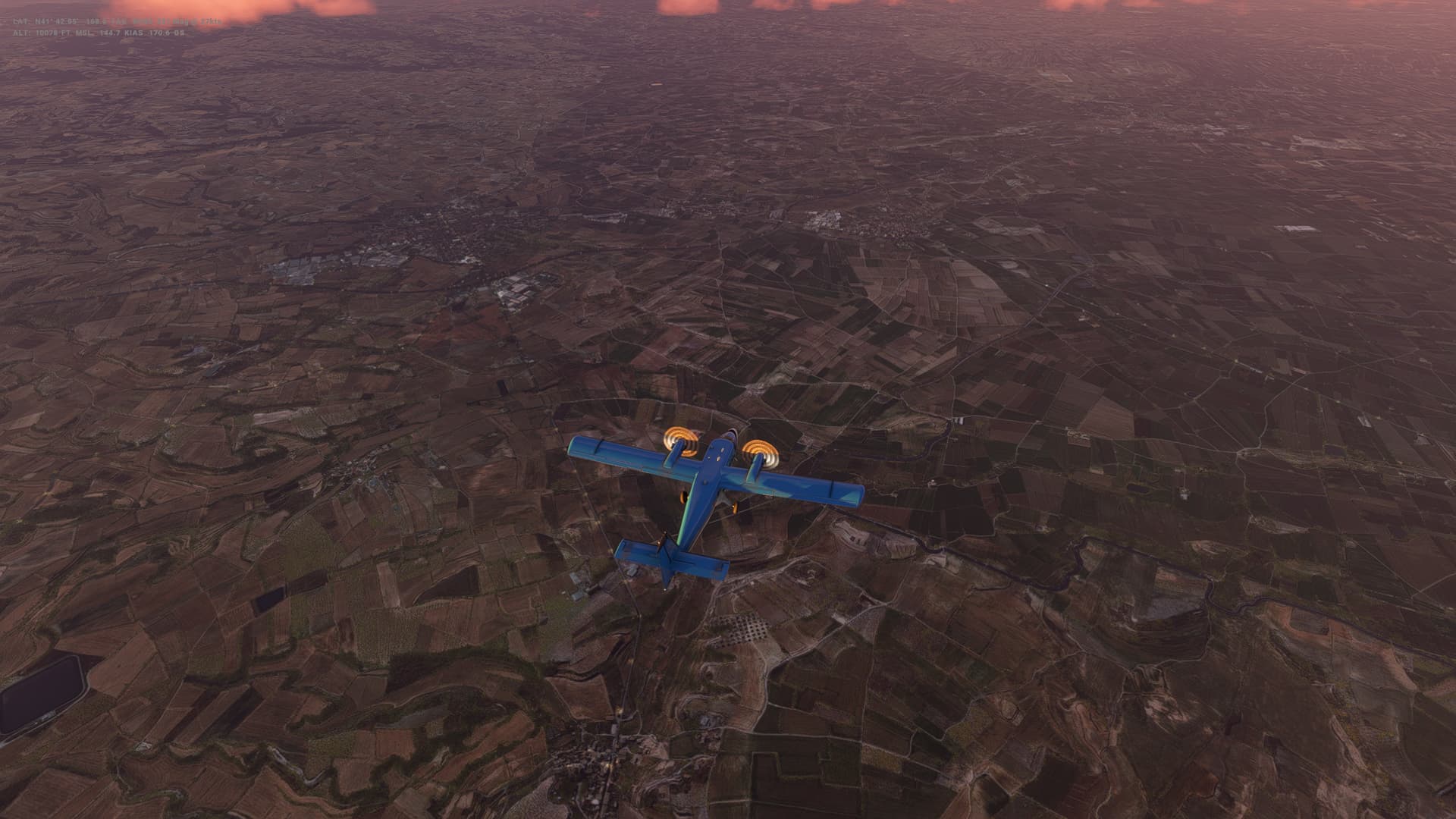
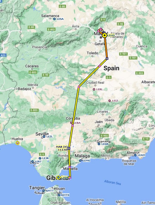
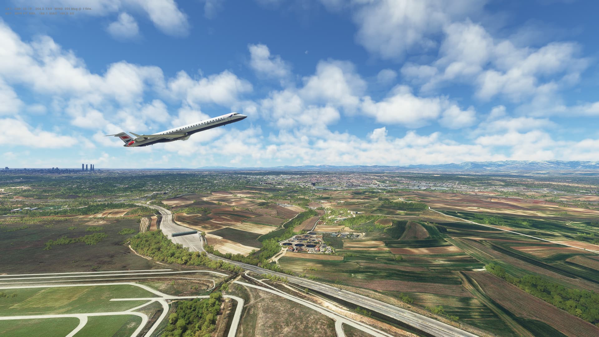
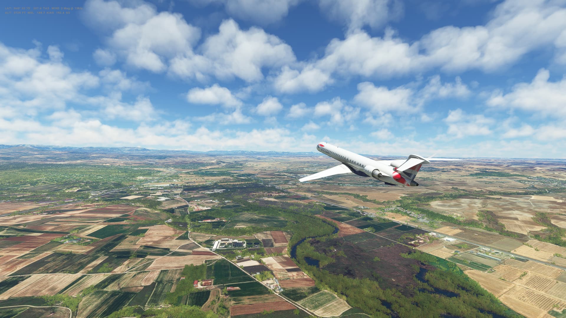
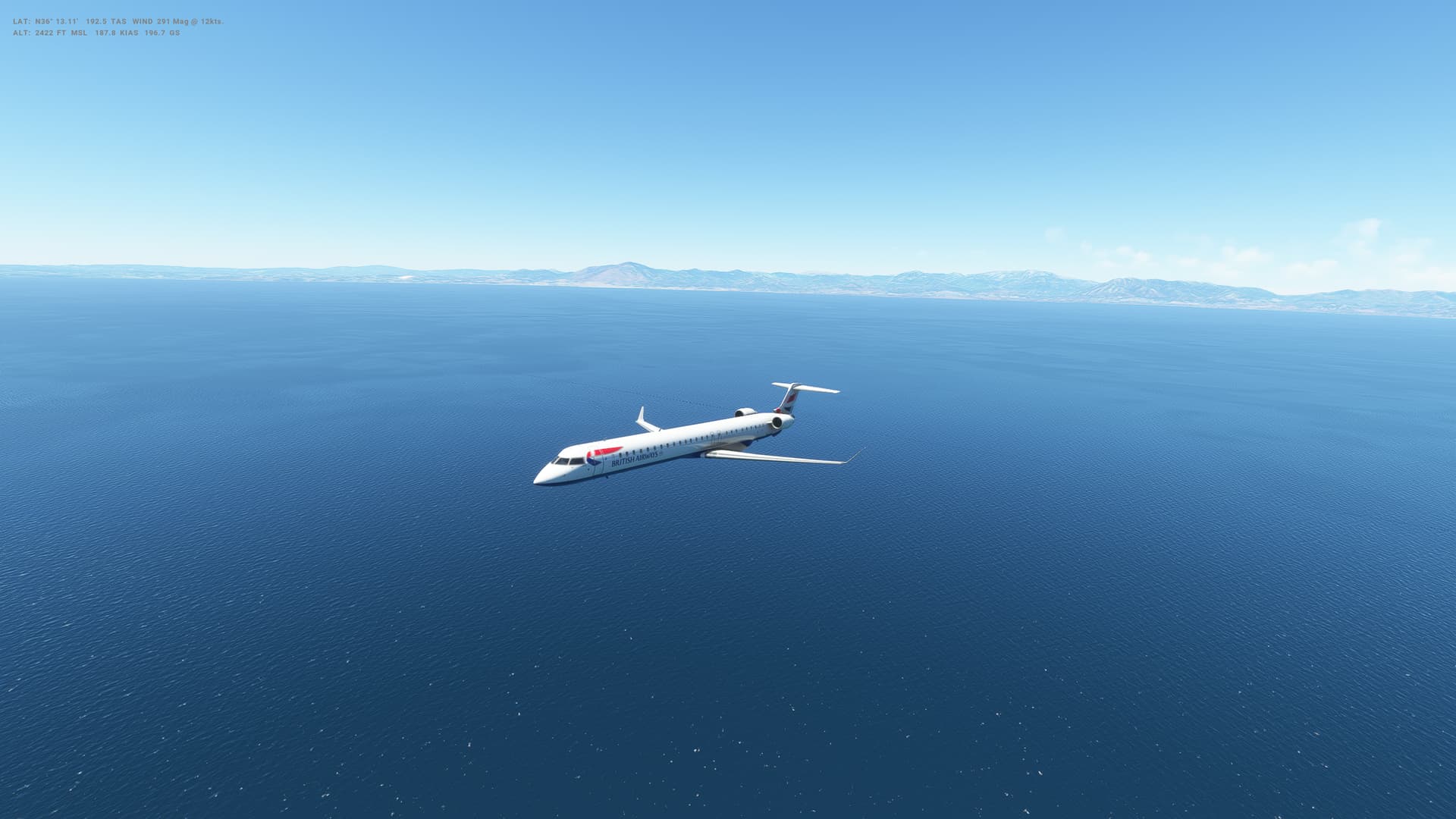
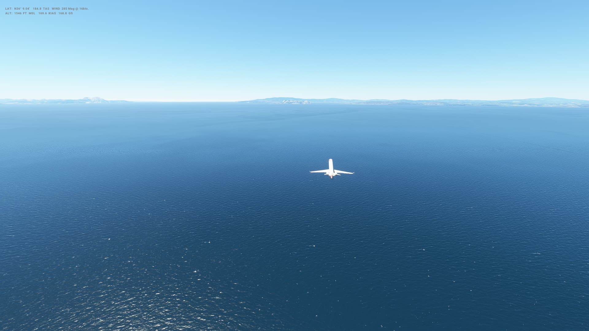
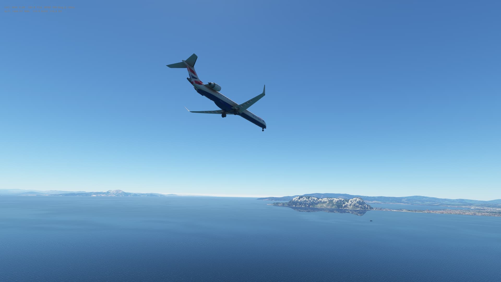
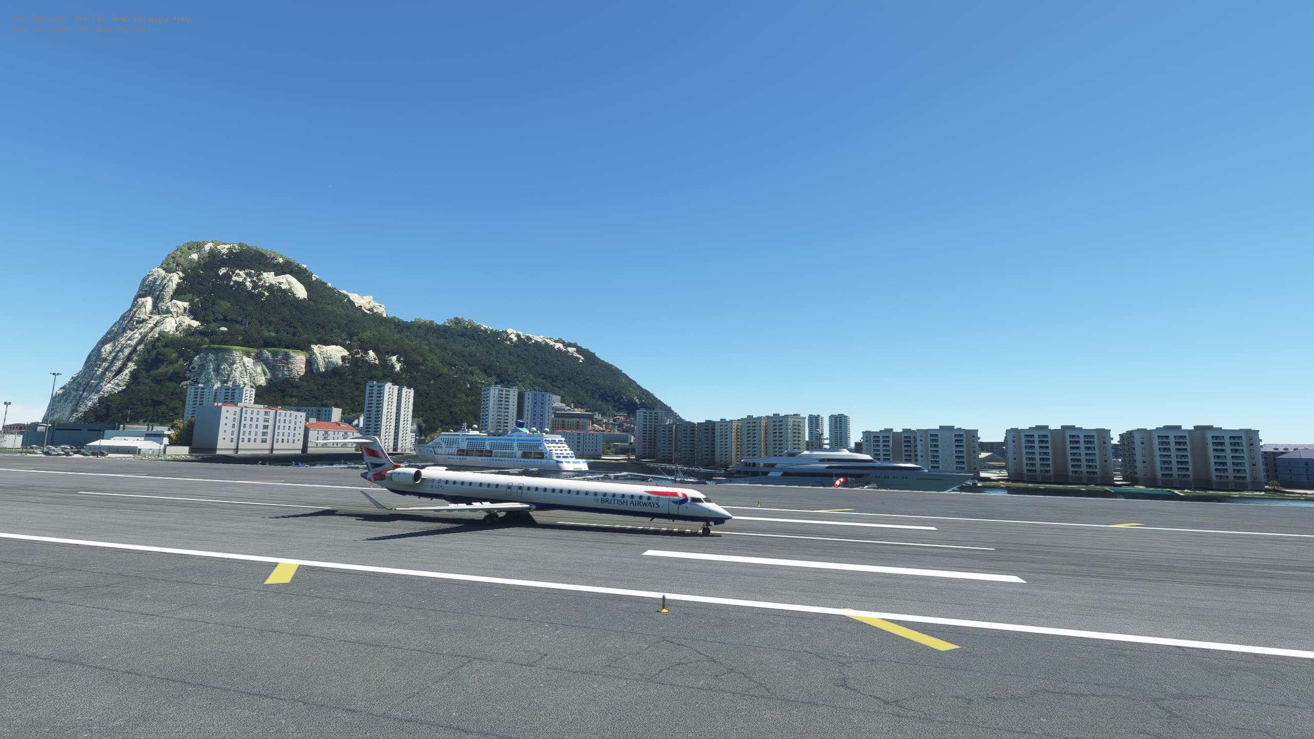
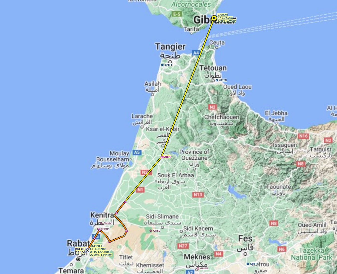
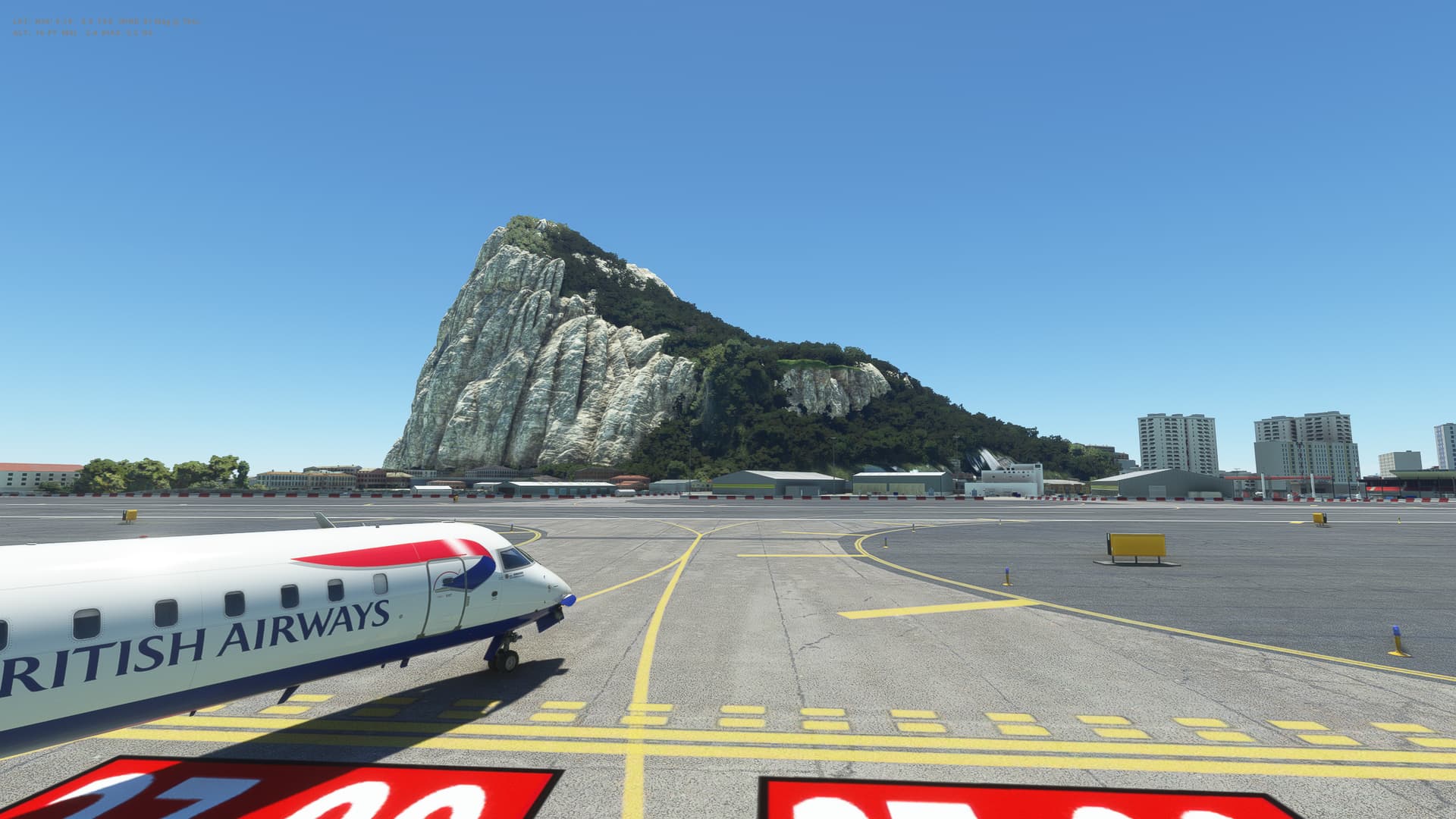
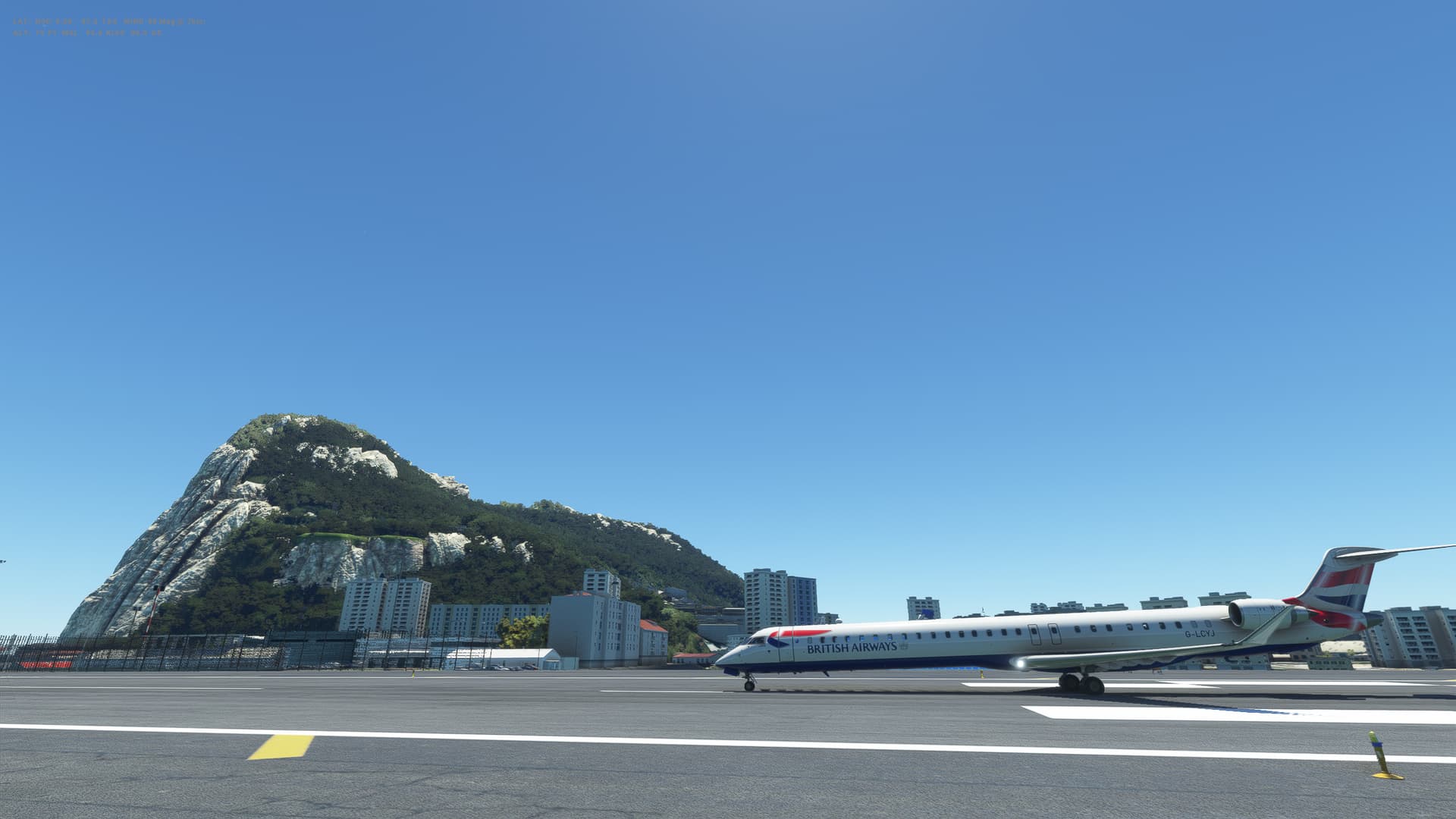
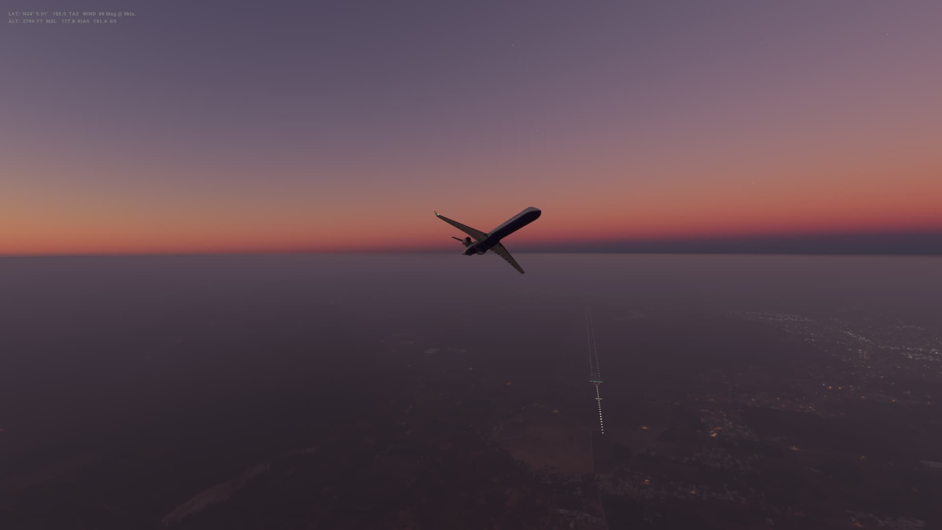
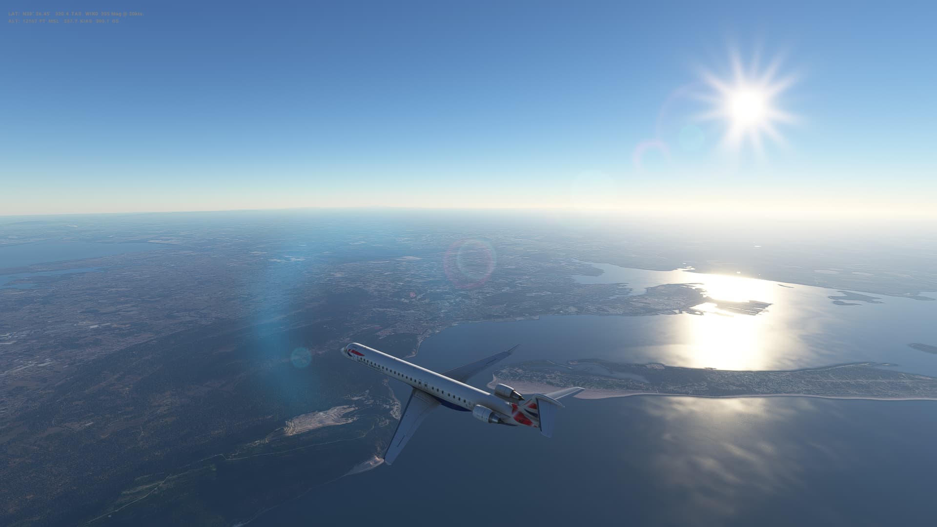
Heading South today from Madrid to Gibraltar with some stunning scenery, especially the mountains as we approach the South coast of Spain before turning to the West as we approach Gibraltar.

The CRJ seemed nice to handle, although I needed to do a visual approach into Gibraltar as there doesn’t seem to be any procedures to follow and no ILS. Landing was OK, although was a little wobbly on approach. Controlling the speed of the CRJ in the descent requires a bit of planning.

Looking forward to heading back to Northern Africa and Morocco with our next flight.
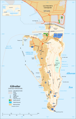

Gibraltar

image

  • Capital: Gibraltar
  • Area: 6.8 sq km
  • Population: 32,194
  • Language: English
  • Life expectancy: 82

Logbook
This Leg Leg 43
Date 30/04/2023
Aircraft Aerosoft CRJ-1000
Departure Airport ICAO LEMD
Airport Adolfo Suárez Madrid-Barajas International Airport
Capital City Madrid
Country Spain
Runway 36L
Arrival Airport ICAO LXGB
Airport Gibraltar International Airport
Capital City Gibralter
Country Gibraltar
Runway 27
Actual Time (Local) Pushback Time 14:00
Take Off Time 14:13
Touchdown Time 15:15
Arrival Time 15:20
Air time 01:02
Total Time 01:20
Ground Distance (Nm) 291
Air Distance (Nm) 312
Great Circle Distance (Nm) 251
Fuel Start (Kgs) 1,031
Fuel End (Kgs) 495
Fuel Used (Kgs) 536
SID VTB6L
Route LEMD/36L VTB6L VTB UN10 CRISA UN864 PIMOS DCT LXGB/27
STAR
Approach
Passengers 104
Cargo (000 Kgs) 1
Take Off Weight (000 Kgs) 38.6
Cruising Altitude (feet) 33,000
Cumulative Ground Distance (Nm) 12,898
Air Distance (Nm) 12,972
Great Circle Distance (Nm) 10,224
Total air time 04:54
Total time 02:14:48
Fuel Used (Kgs) 95,220

Flightplan:

IFR (LEMD) to (LXGB).lnmpln (2.7 KB)

Route Map:

Route Map

Timelapse Video

Screenshots

Take Off


Cruise


Landing


Overall route so far

UTDD UTTT UCFM UACC UTAA OIII UBBB UGTB UDYZ ORBI OKBK OBBI OOMS OMAA OTHH OERK OJAI LLBG OSDI OLBA LCEN LTAC LRBS LBSF LWSK BKPR LATI LYPG LQSA LYBE LHBP LZIB LOWW LDZA LJLJ LIPR LIRE LMML HLLT DTTA DAAG LESU LEMD LXGB

Leg 44: Gibraltar (LXGB), Gibraltar to Rabat (GMME), Morocco


Summary

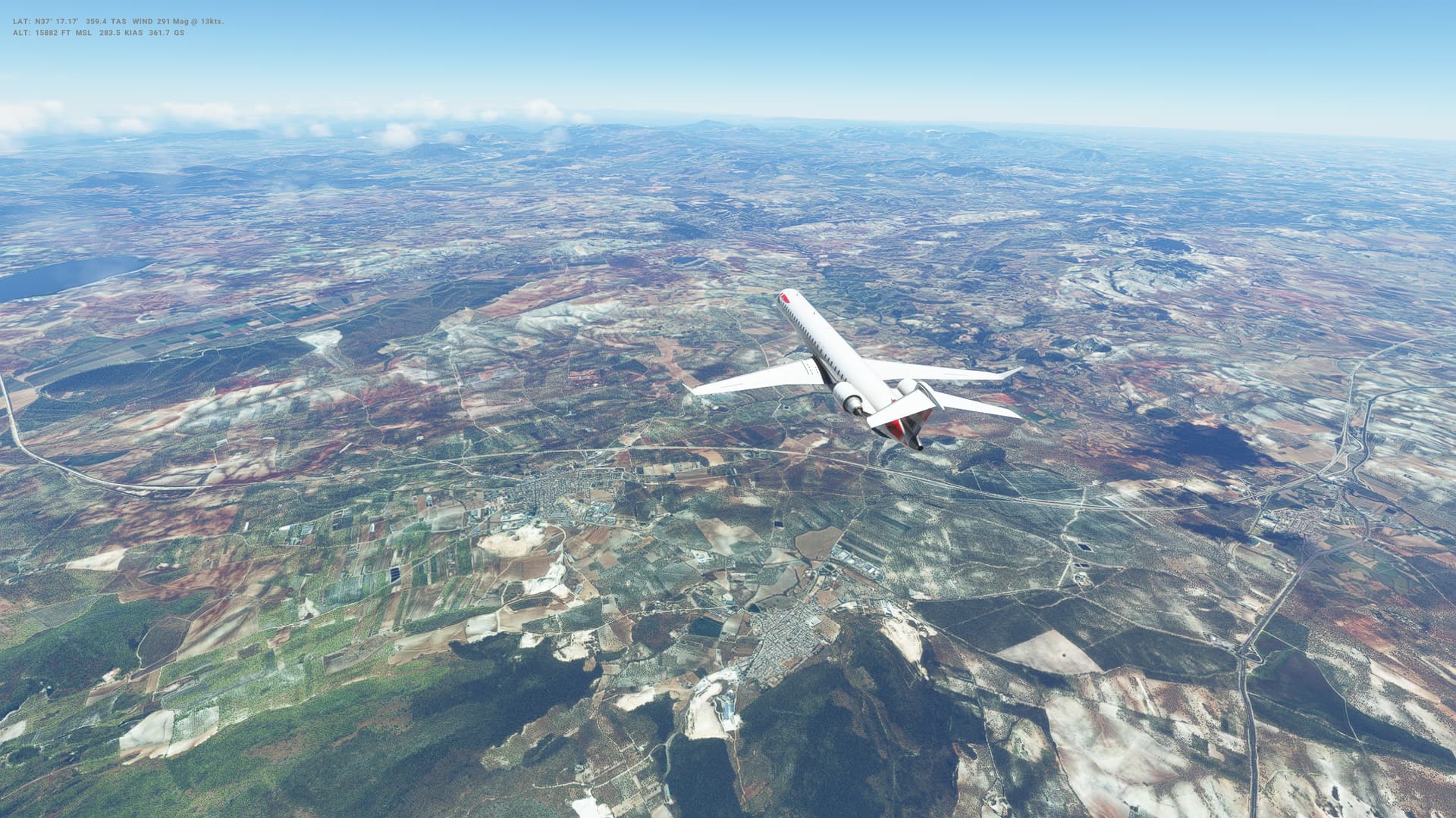
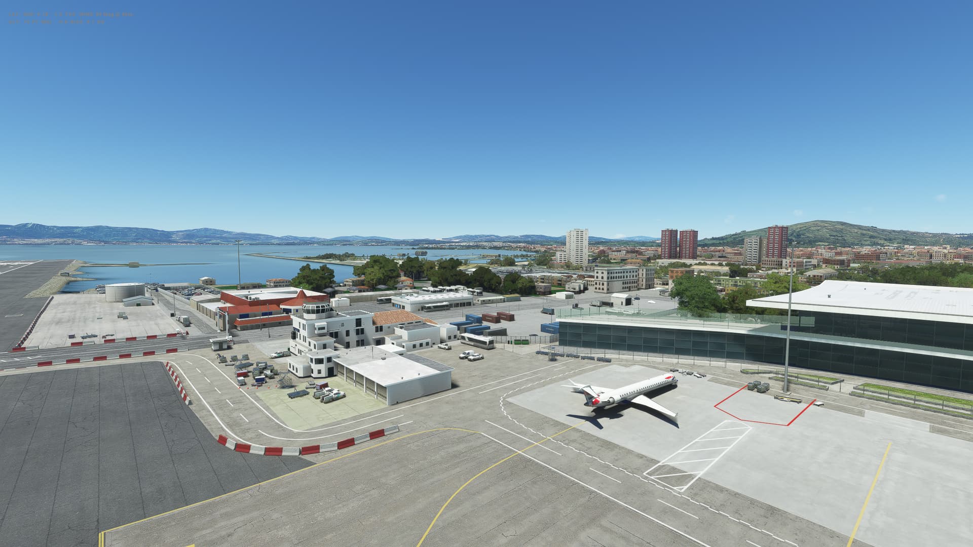
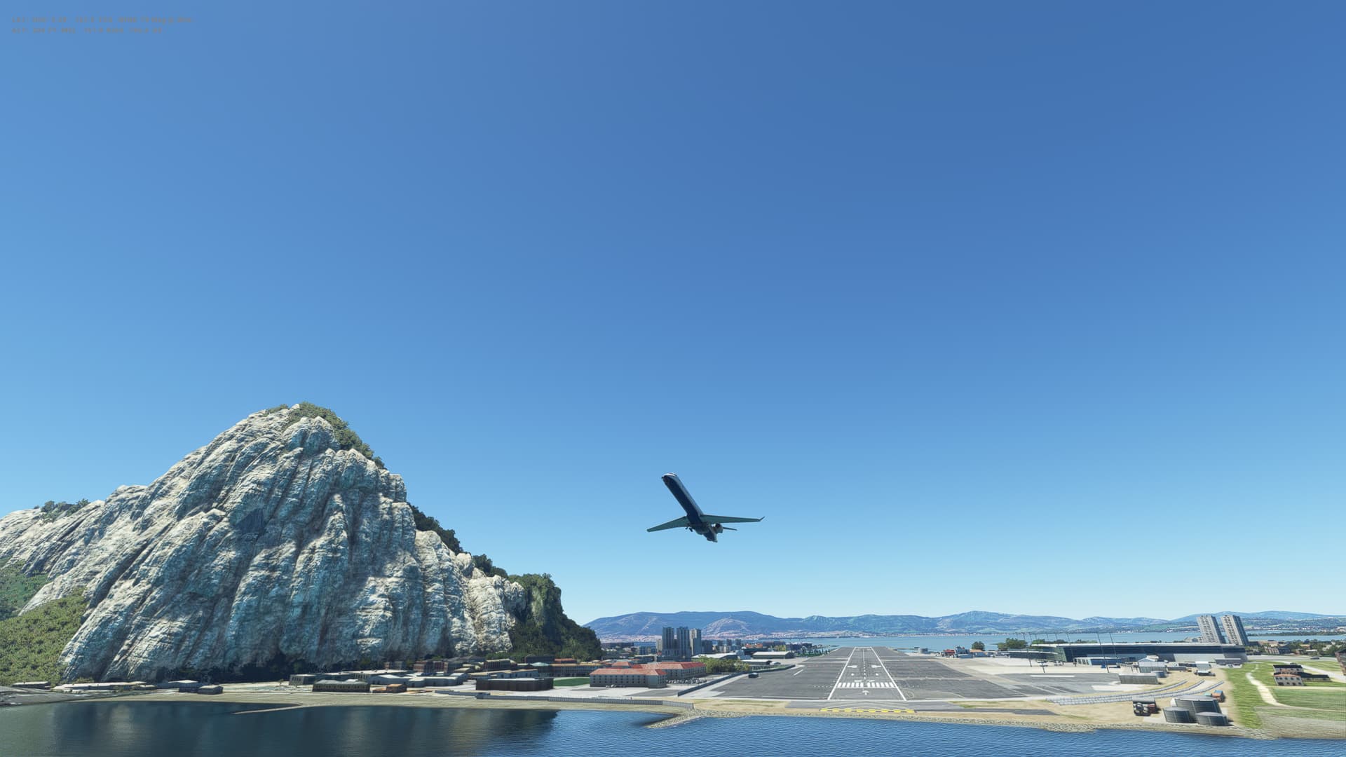
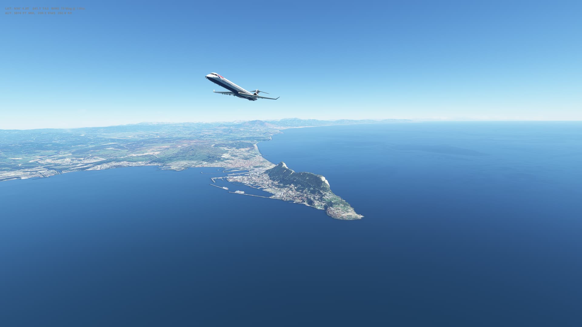
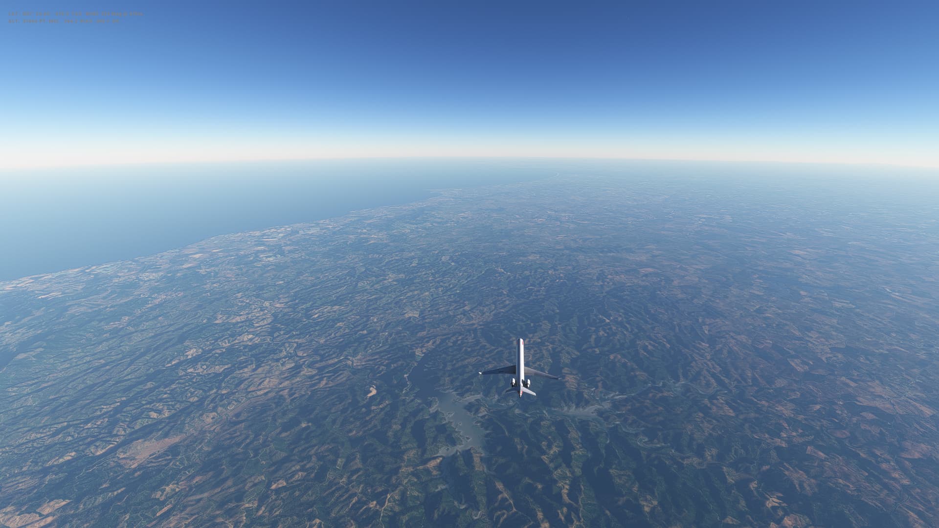
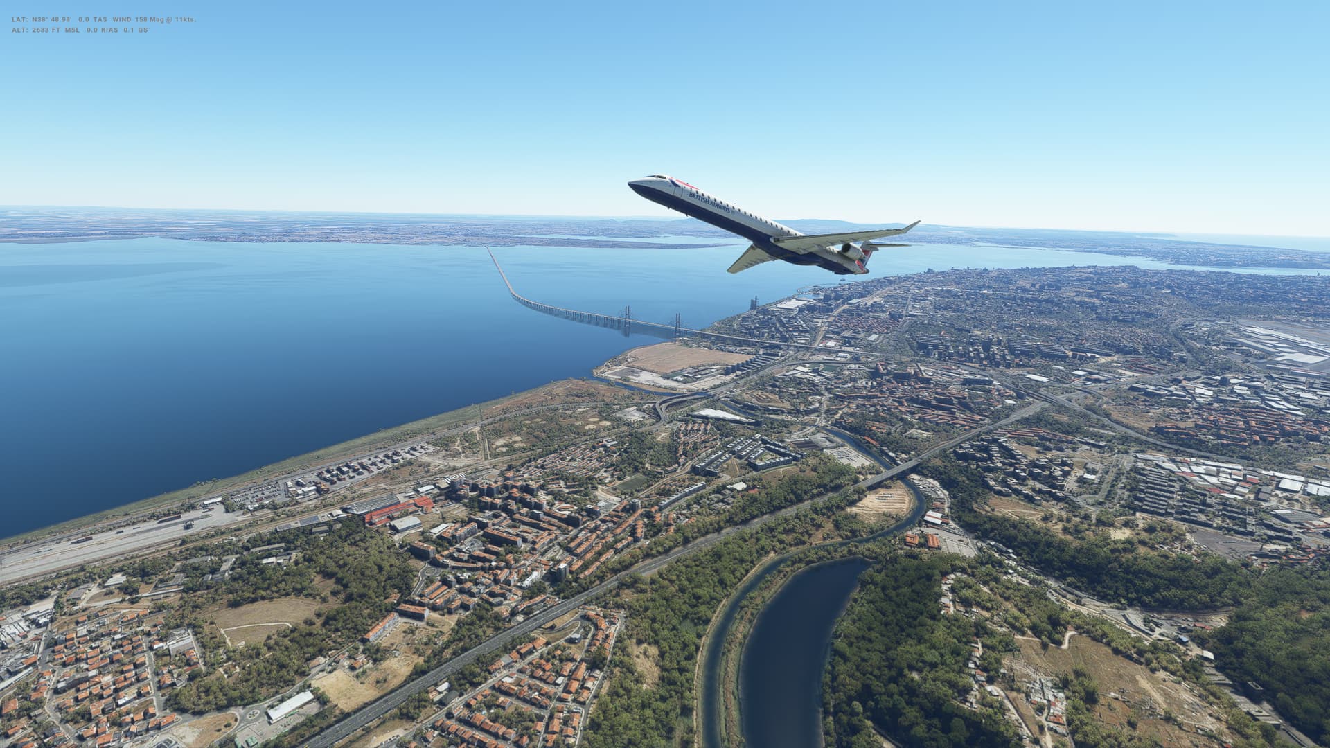
Second flight in the CRJ-1000 and this was a nice short hop from Europe to Africa - Gibraltar to Rabat in Morocco. Some amazing views of Gibraltar and the Mediterranean Sea before we head over Northern Africa.

Bit of a better landing this time, and finding the CRJ relatively straightforward to fly, and really quite enjoyable. Need to be carfeul of controlling the speed on descent (I went a little slowly on descent and came close to stalling at one point).

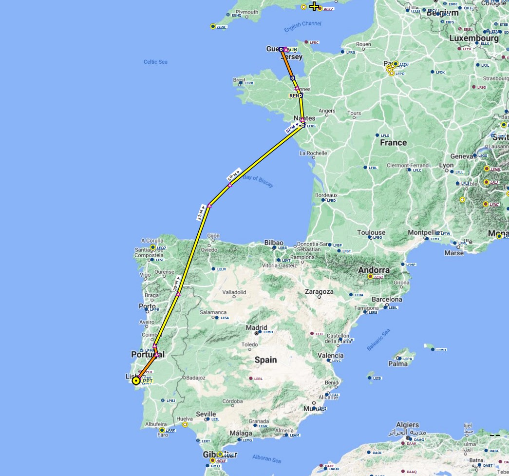
So all good. Next time we have a much longer flight North to Lisbon in Portugal.


Morocco

  • Capital: Rabat
  • Area: 446,300 sq km
  • Population: 37.9 million
  • Languages: Arabic, Amazigh, plus Berber, French
  • Life expectancy: 72 years (men) 76 years (women)

Logbook
This Leg Leg 44
Date 01/05/2023
Aircraft Aerosoft CRJ-1000
Departure Airport ICAO LXGB
Airport Gibraltar International Airport
Capital City Gibralter
Country Gibraltar
Runway 09
Arrival Airport ICAO GMME
Airport Rabat-Salé Airport
Capital City Rabat
Country Morocco
Runway 21
Actual Time (Local) Pushback Time 14:00
Take Off Time 14:13
Touchdown Time 14:41
Arrival Time 14:46
Air time 00:28
Total Time 00:46
Ground Distance (Nm) 175
Air Distance (Nm) 172
Great Circle Distance (Nm) 144
Fuel Start (Kgs) 2,894
Fuel End (Kgs) 1,283
Fuel Used (Kgs) 1,611
SID
Route LXGB/09 DCT BARIS B11 TUSOR TUSOR1G GMME/21
STAR TUSOR1G
Approach ILS Z 21
Passengers 104
Cargo (000 Kgs) 1
Take Off Weight (000 Kgs) 37.8
Cruising Altitude (feet) 33,000
Cumulative Ground Distance (Nm) 13,119
Air Distance (Nm) 13,189
Great Circle Distance (Nm) 10,390
Total air time 05:22
Total time 02:15:34
Fuel Used (Kgs) 98,634

Flightplan:

IFR (LXGB) to (GMME).lnmpln (1.8 KB)

Route Map:

Timelapse Video

Screenshots

Take Off


Cruise


Landing


Overall route so far

UTDD UTTT UCFM UACC UTAA OIII UBBB UGTB UDYZ ORBI OKBK OBBI OOMS OMAA OTHH OERK OJAI LLBG OSDI OLBA LCEN LTAC LRBS LBSF LWSK BKPR LATI LYPG LQSA LYBE LHBP LZIB LOWW LDZA LJLJ LIPR LIRE LMML HLLT DTTA DAAG LESU LEMD LXGB GMME

Leg 45: Rabat (GMME), Morocco to Lisbon (LPPT), Portugal


Summary

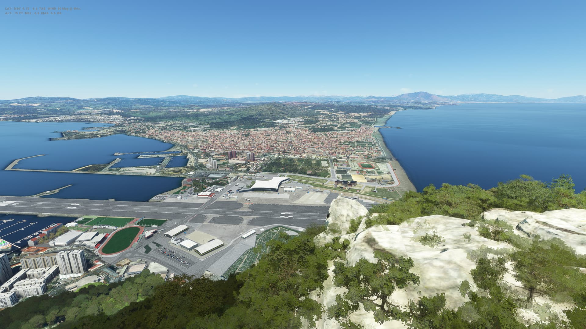
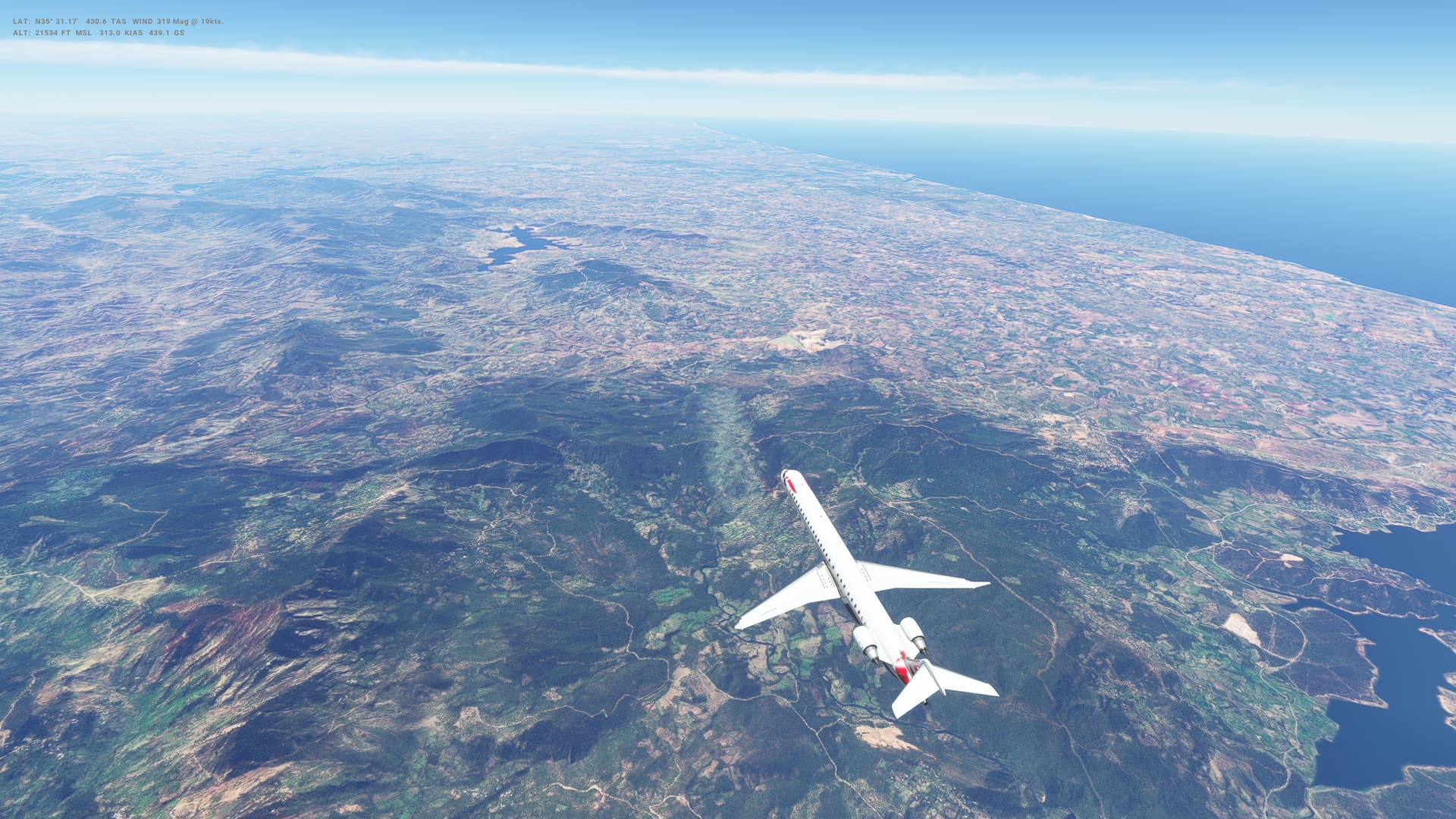
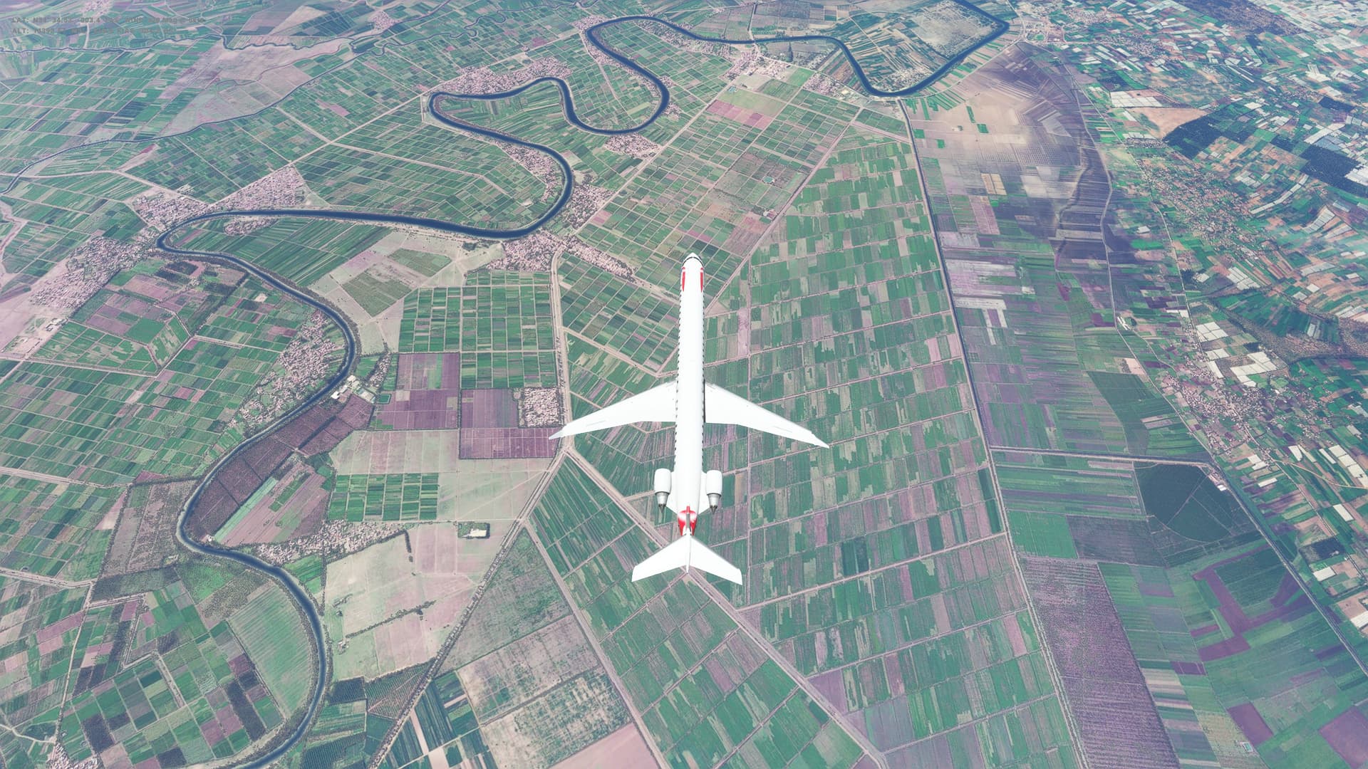
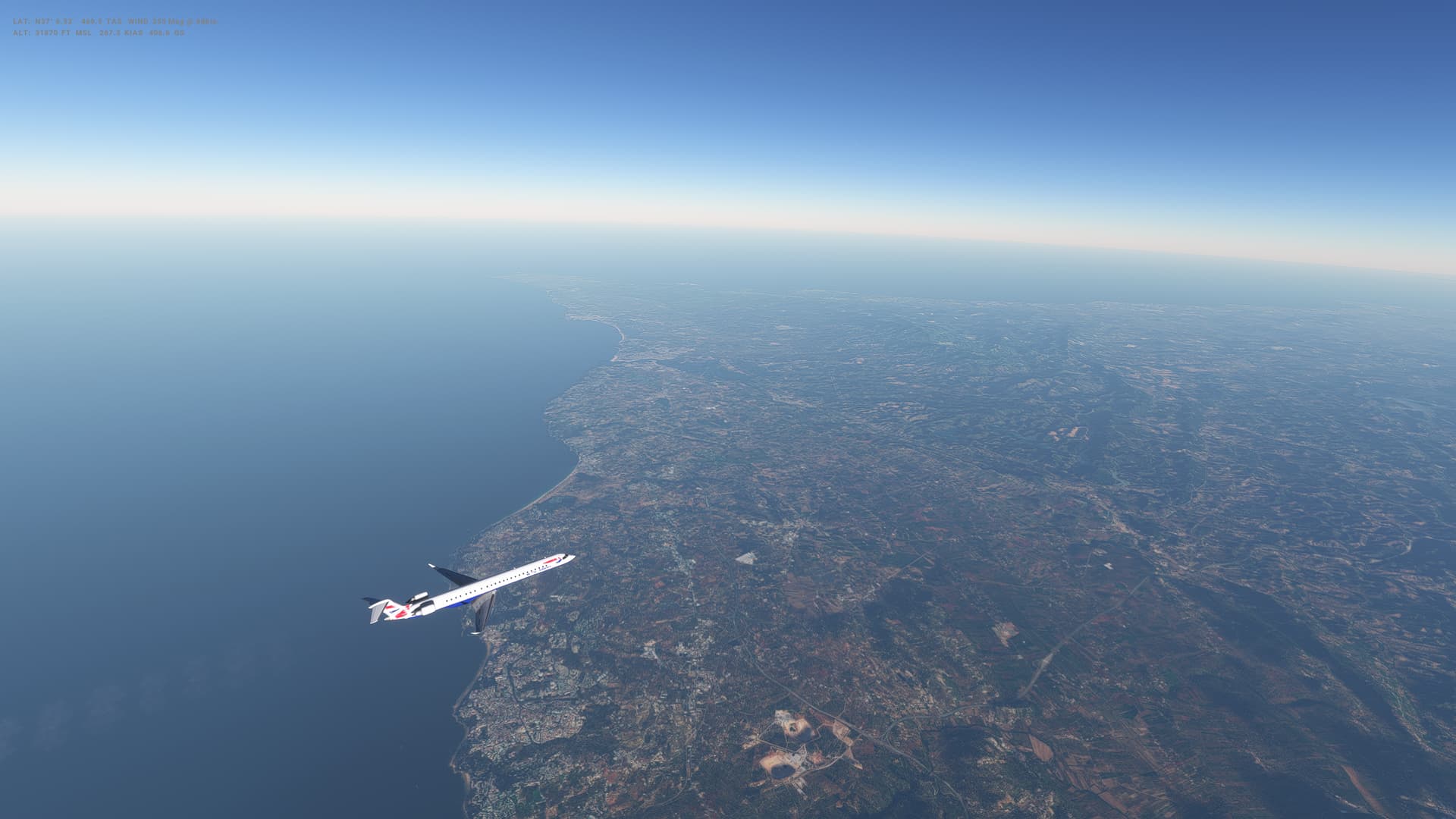
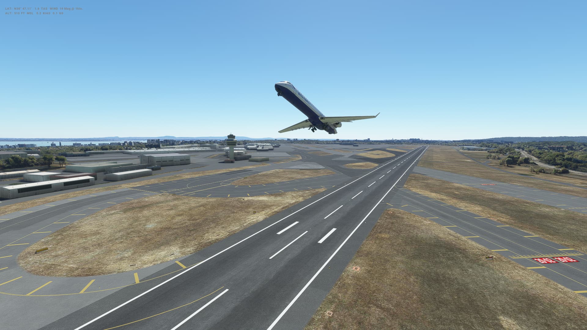
Flight 3 in the the CRJ-1000 and things are going well. I seem to be able to fly this thing reasonably well, managing speed in descent being the slightly tricky part - fot this flight I left the speed brakes on right up to final approach which wasn’t great! Lisbon has photgrammetry - which looks great - but I did suffer some major stutters right before the runway, so lining up was a bit tricky and we hit with a pretty solid bump. Didn;t bound though and got it down fine from there.

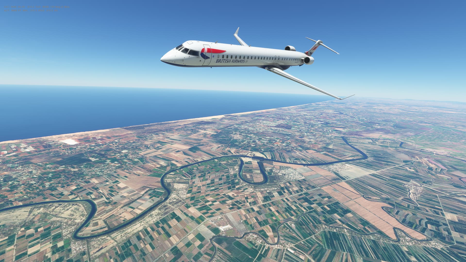
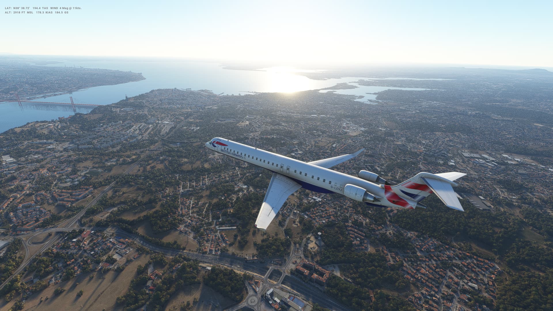
Nice flight today with good weather again. Headed North straight up from Rabat, across the Portuguese Algarve and on to Lisbon. The city does look beautiful.

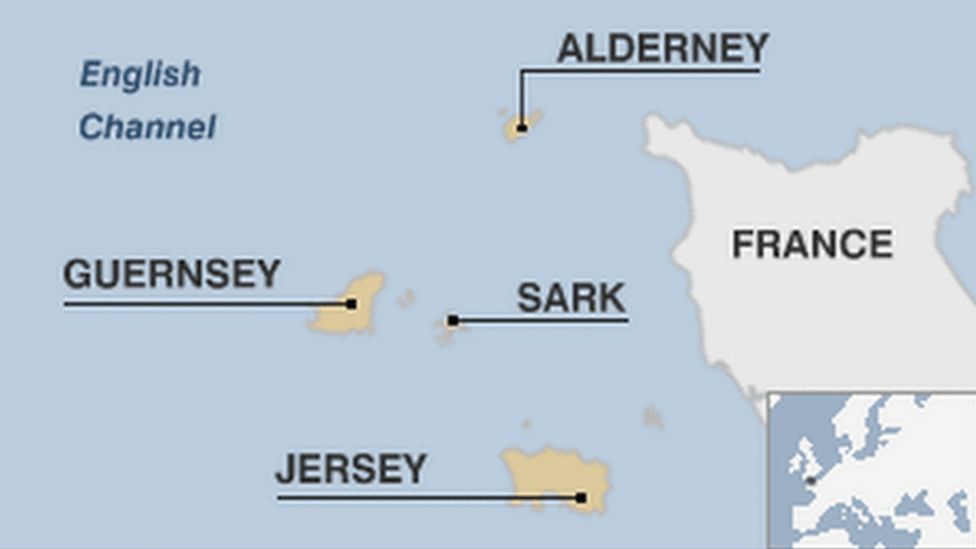
Next we are heading to Guernsey of all places. Should be fun.


Portugal

Map of Portugal

  • Capital: Lisbon
  • Area: 92,212 sq km
  • Population: 10.3 million
  • Languages: Portuguese, also Mirandese
  • Life expectancy: 78 years (men) 84 years (women)

Logbook
This Leg Leg 45
Date 13/05/2023
Aircraft Aerosoft CRJ-1000
Departure Airport ICAO GMME
Airport Rabat-Salé Airport
Capital City Rabat
Country Morocco
Runway 03
Arrival Airport ICAO LPPT
Airport Aeroporto da Portela de Sacavem
Capital City Lisbon
Country Portugal
Runway 02
Actual Time (Local) Pushback Time 06:07
Take Off Time 06:18
Touchdown Time 07:23
Arrival Time 07:28
Air time 01:05
Total Time 01:21
Ground Distance (Nm) 332
Air Distance (Nm) 367
Great Circle Distance (Nm) 306
Fuel Start (Kgs) 3,895
Fuel End (Kgs) 1,533
Fuel Used (Kgs) 2,362
SID TOLSI5D
Route GMME/03 TOLSI5D TOLSI DCT ORTOP DCT ODEMI DCT TROIA TROIA9A LPPT/02
STAR TROIA9A
Approach ILS 02
Passengers 104
Cargo (000 Kgs) 1
Take Off Weight (000 Kgs) 38.7
Cruising Altitude (feet) 32,000
Cumulative Ground Distance (Nm) 13,451
Air Distance (Nm) 13,556
Great Circle Distance (Nm) 10,696
Total air time 06:27
Total time 02:16:55
Fuel Used (Kgs) 100,996

Flightplan:

IFR (GMME) to (LPPT).lnmpln (1.8 KB)

Route Map:

Timelapse Video

Screenshots

Take Off


Cruise


Landing


Overall route so far

UTDD UTTT UCFM UACC UTAA OIII UBBB UGTB UDYZ ORBI OKBK OBBI OOMS OMAA OTHH OERK OJAI LLBG OSDI OLBA LCEN LTAC LRBS LBSF LWSK BKPR LATI LYPG LQSA LYBE LHBP LZIB LOWW LDZA LJLJ LIPR LIRE LMML HLLT DTTA DAAG LESU LEMD LXGB GMME LPPT

1 Like

Leg 46: Lisbon (LPPT), Portugal to St Peters Port (EGJB), Guernsey


Summary

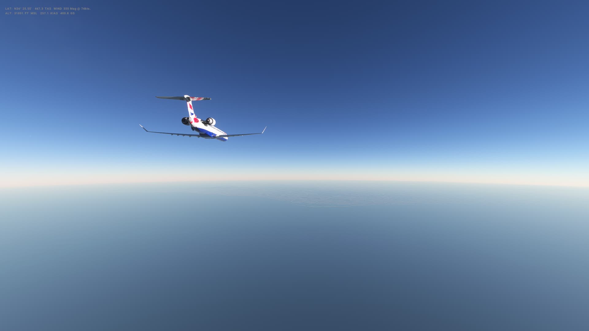
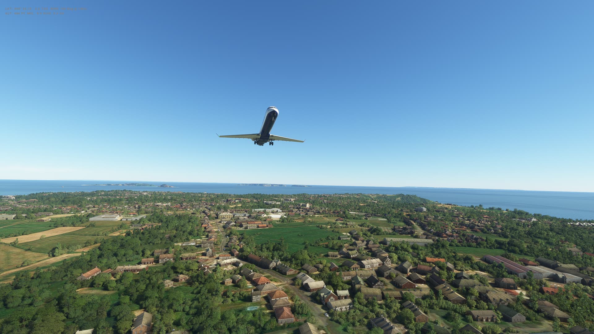
Flight 4 in the the CRJ-1000 and I’m definitely getting to grips with it. Really nice flight today, with a lot of sunshine and few clouds. Straight North from Portgual, over the Bay of Biscay and Northern France before heading into the English Channel.


Guernsey

Map of the Channel Islands

  • Capital: St Peter Port (Guernsey)
  • Area: 198 sq km
  • Population: 171,900
  • Languages: English, French, local forms of French
  • Life expectancy: 79 years (men), 83 years (women)

Logbook
This Leg Leg 46
Date 06/07/2023
Aircraft Aerosoft CRJ-1000
Departure Airport ICAO LPPT
Airport Aeroporto da Portela de Sacavem
Capital City Lisbon
Country Portugal
Runway 02
Arrival Airport ICAO EGJB
Airport Guernsey Airport
Capital City St. Peter Port
Country Guernsey
Runway 27
Actual Time (Local) Pushback Time 10:00
Take Off Time 10:11
Touchdown Time 12:27
Arrival Time 12:28
Air time 02:16
Total Time 02:28
Ground Distance (Nm) 775
Air Distance (Nm) 730
Great Circle Distance (Nm) 699
Fuel Start (Kgs) 5,453
Fuel End (Kgs) 1,621
Fuel Used (Kgs) 3,832
SID INBOM5N
Route LPPT/02 INBOM5N INBOM DCT ABUPI DCT LOTEE DCT EKDAP DCT NTS UY110
REN A25 DIN DIN1G EGJB/27
STAR DIN1G
Approach ILS 27
Passengers 104
Cargo (000 Kgs) 3
Take Off Weight (000 Kgs) 40.1
Cruising Altitude (feet) 36,000
Cumulative Ground Distance (Nm) 14,226
Air Distance (Nm) 14,286
Great Circle Distance (Nm) 11,395
Total air time 08:43
Total time 02:19:23
Fuel Used (Kgs) 104,828

Flightplan:

IFR Lisbon (LPPT) to Guernsey (EGJB).lnmpln (3.4 KB)

Route Map:

Timelapse Video

Screenshots

Take Off


Cruise


Landing


Overall route so far

UTDD UTTT UCFM UACC UTAA OIII UBBB UGTB UDYZ ORBI OKBK OBBI OOMS OMAA OTHH OERK OJAI LLBG OSDI OLBA LCEN LTAC LRBS LBSF LWSK BKPR LATI LYPG LQSA LYBE LHBP LZIB LOWW LDZA LJLJ LIPR LIRE LMML HLLT DTTA DAAG LESU LEMD LXGB GMME LPPT EGJB