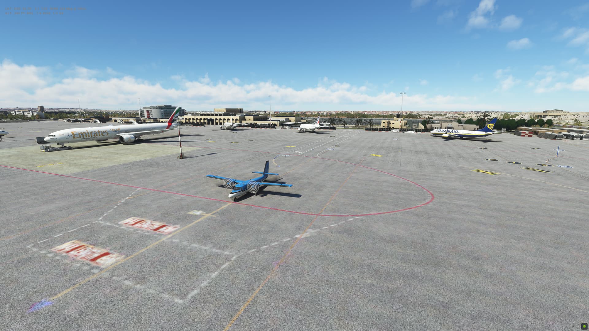
Leg 38: Valetta (LMML), Malta to Tripoli (HLLT), Libya
Summary
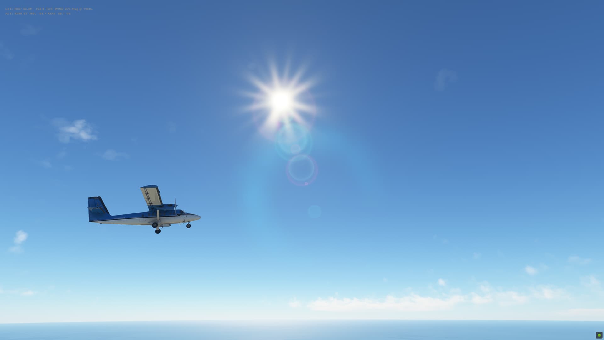
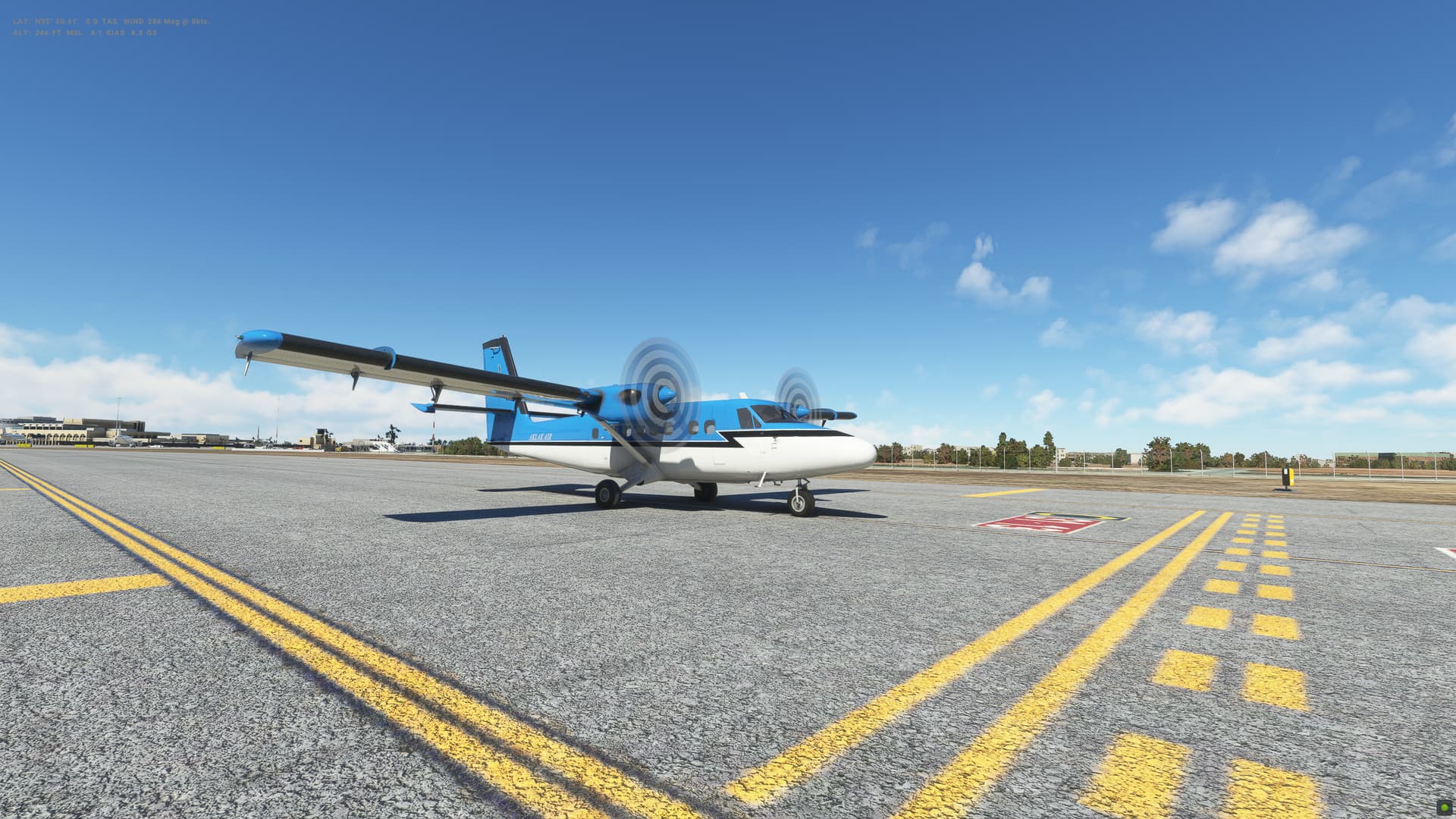
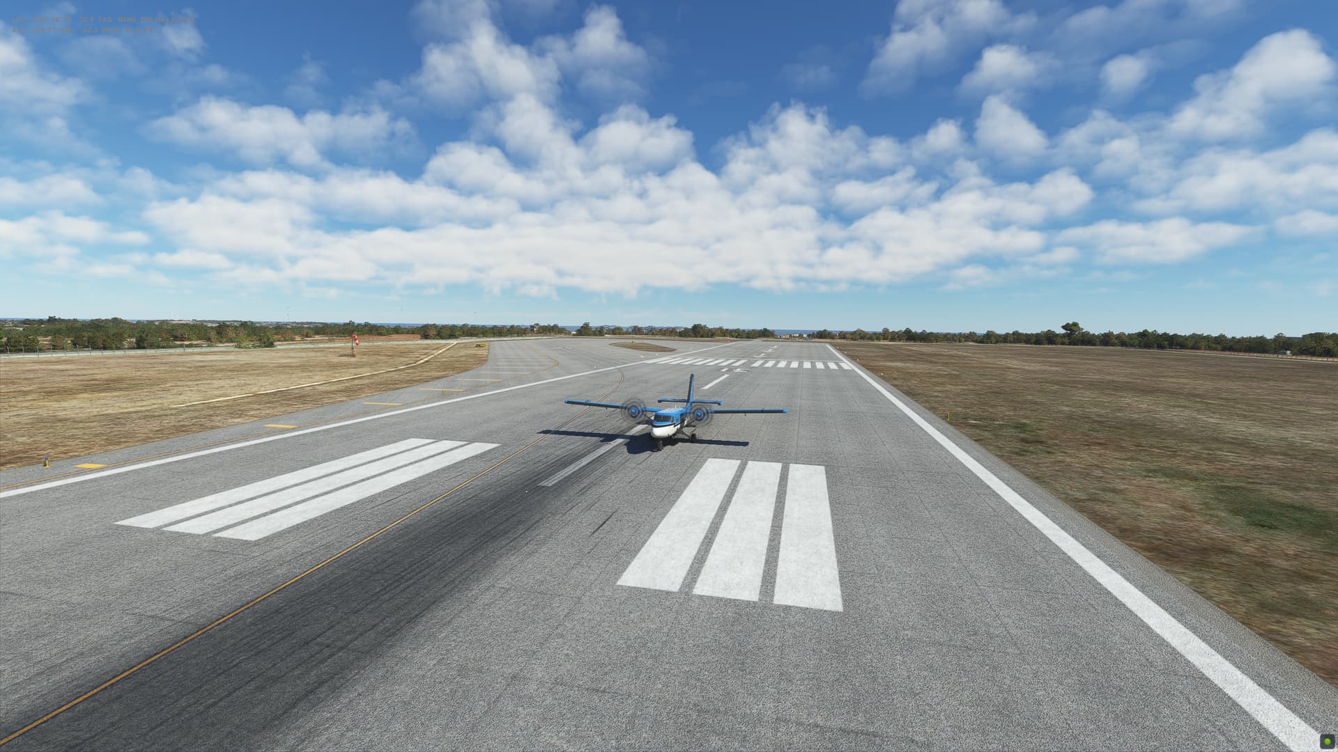
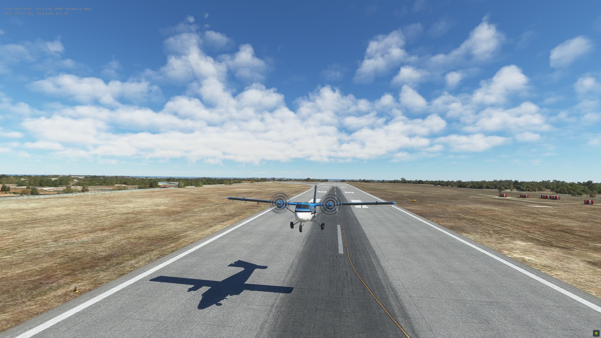
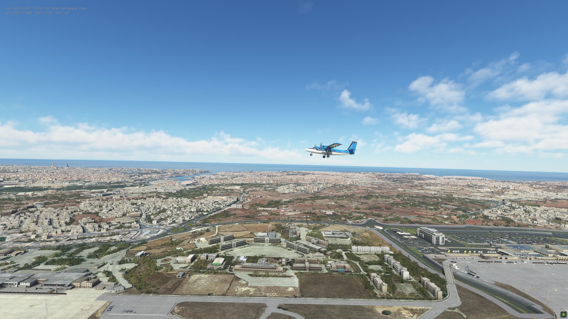
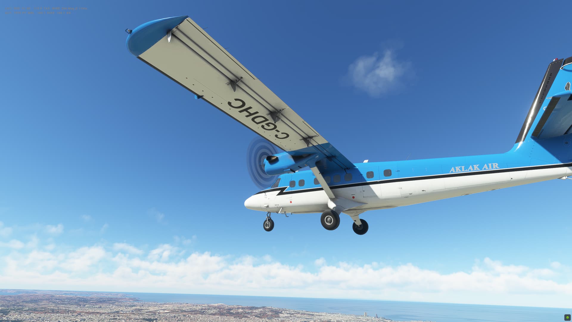
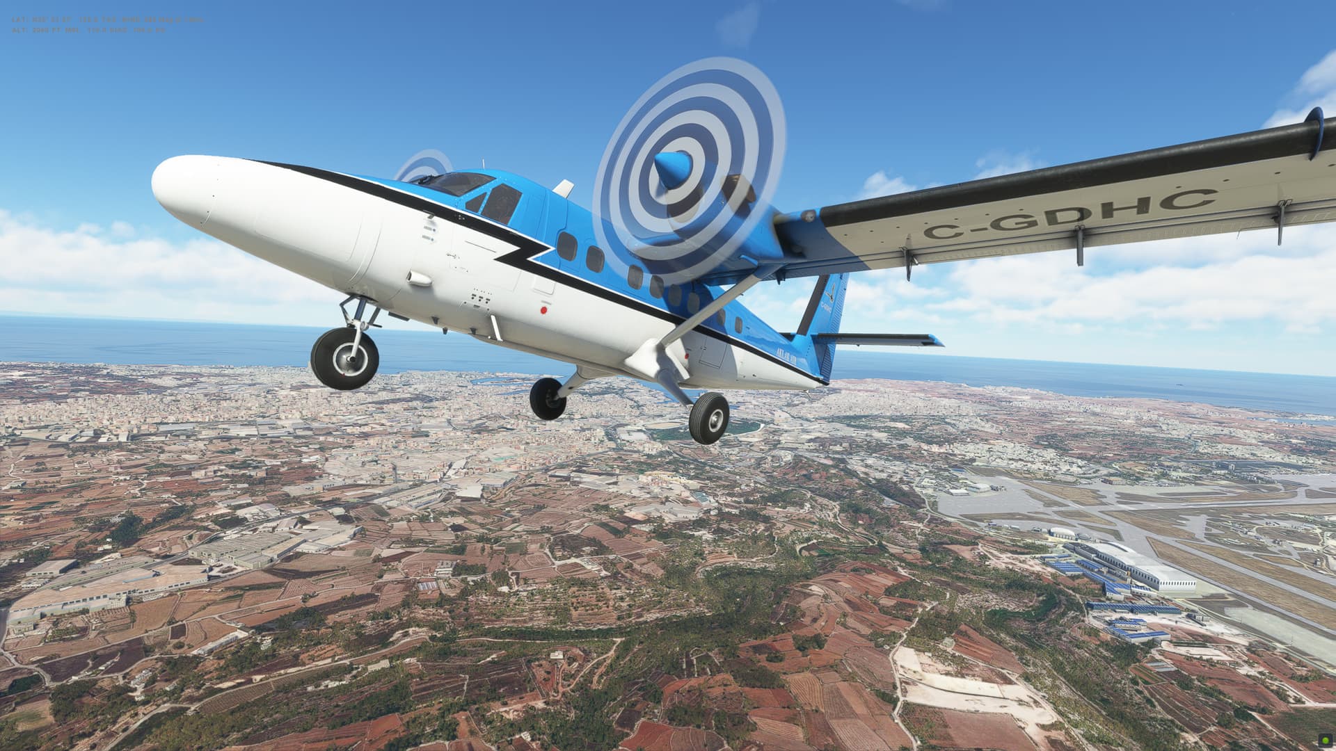
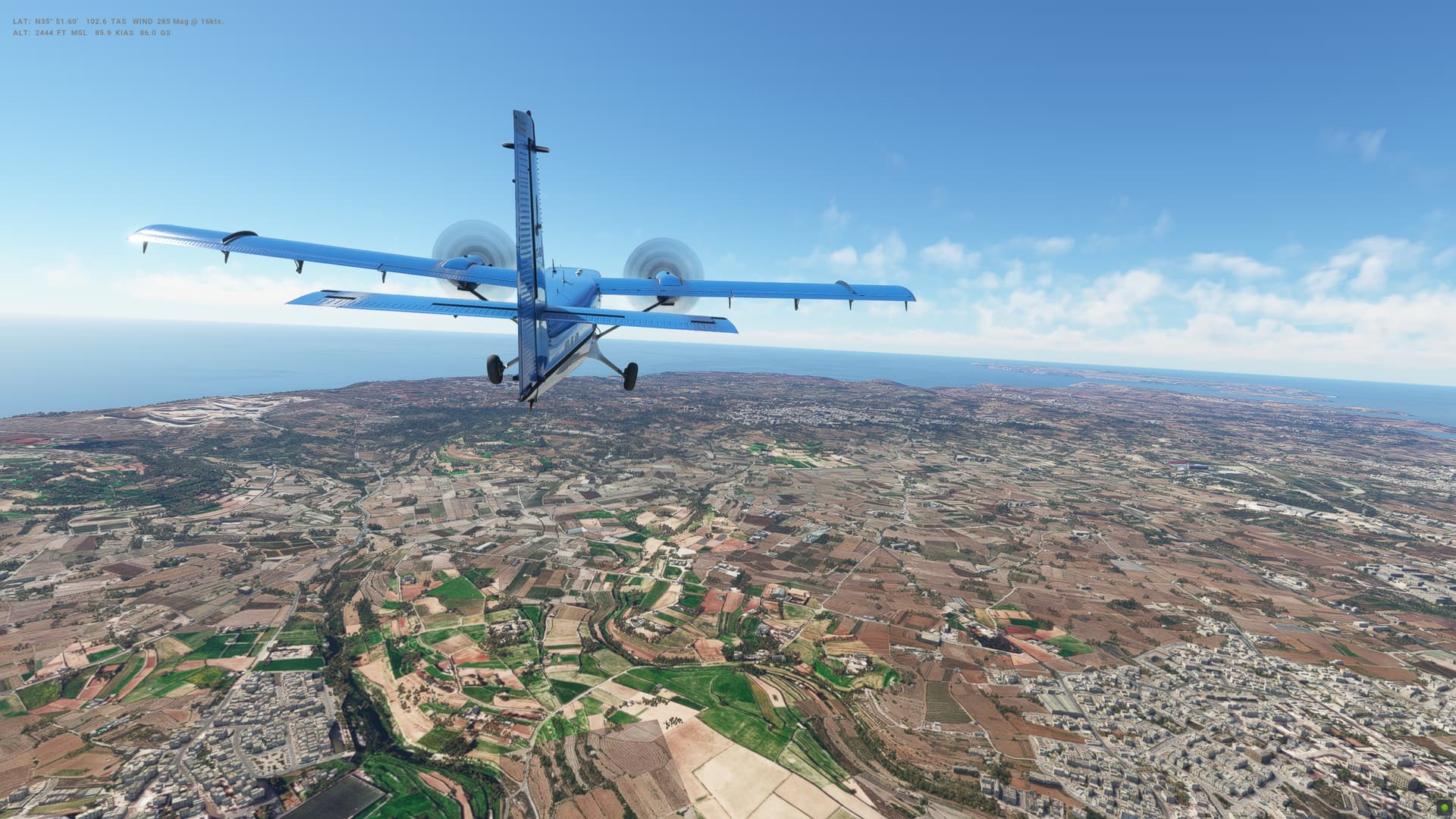
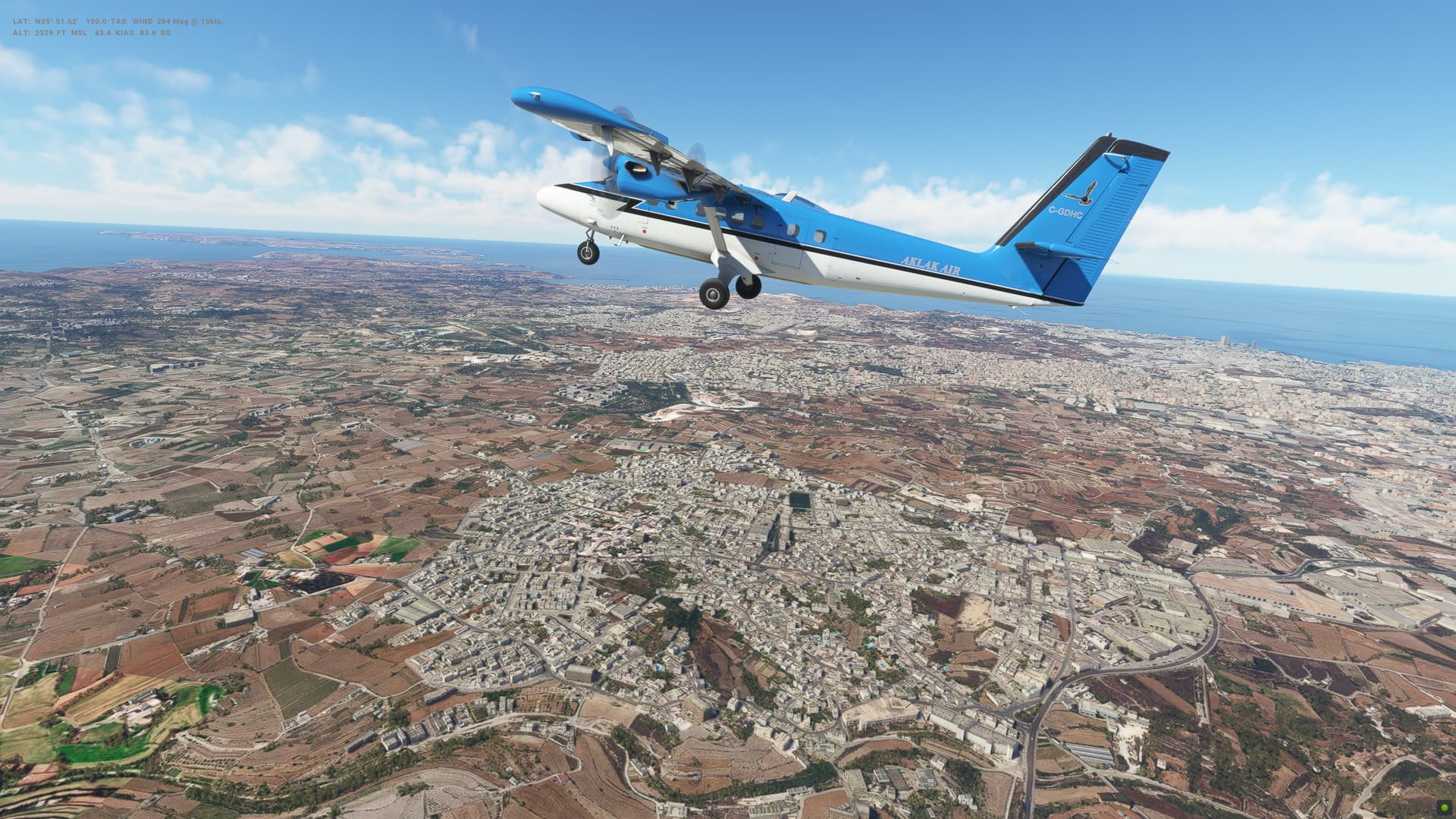
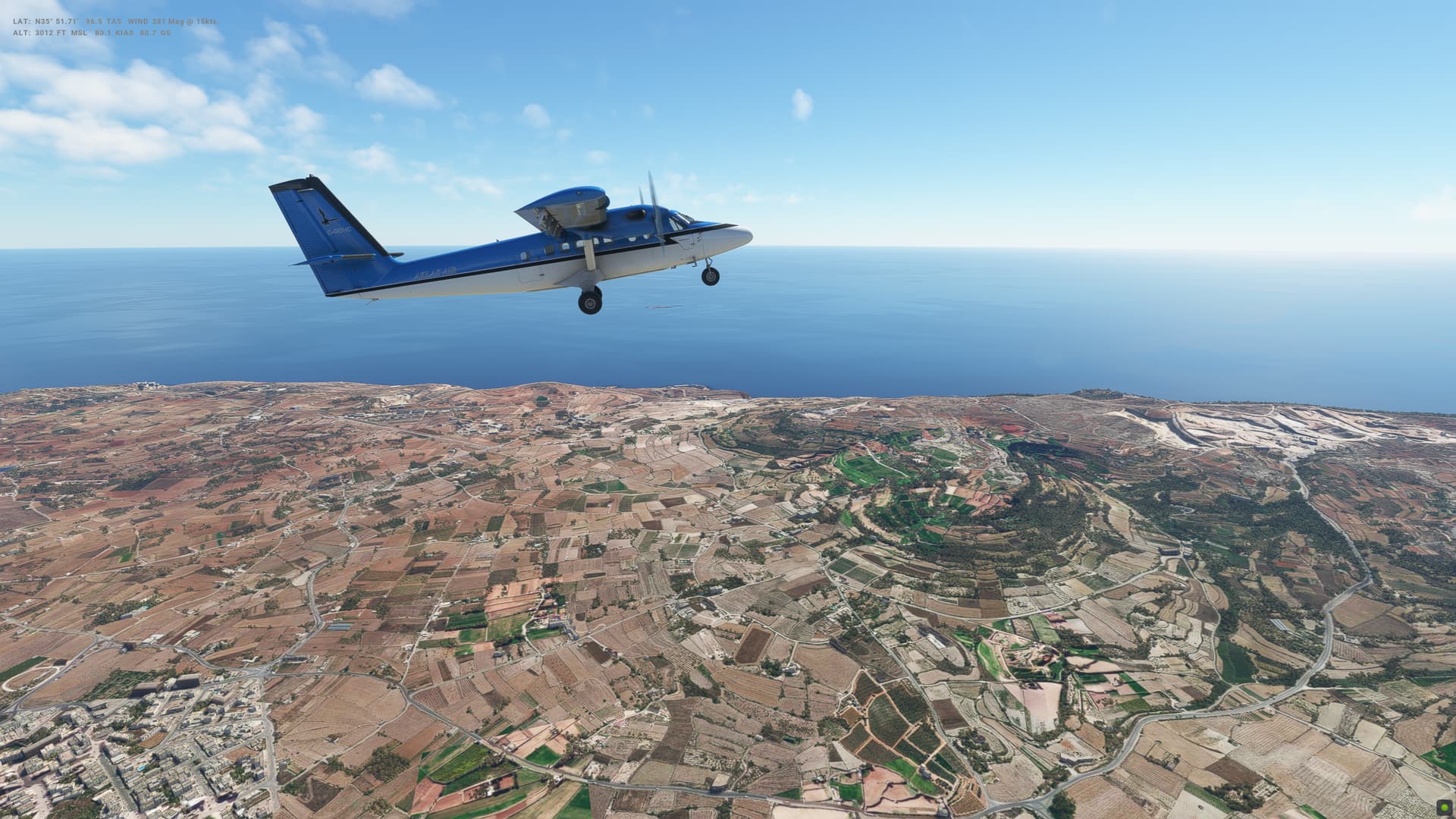
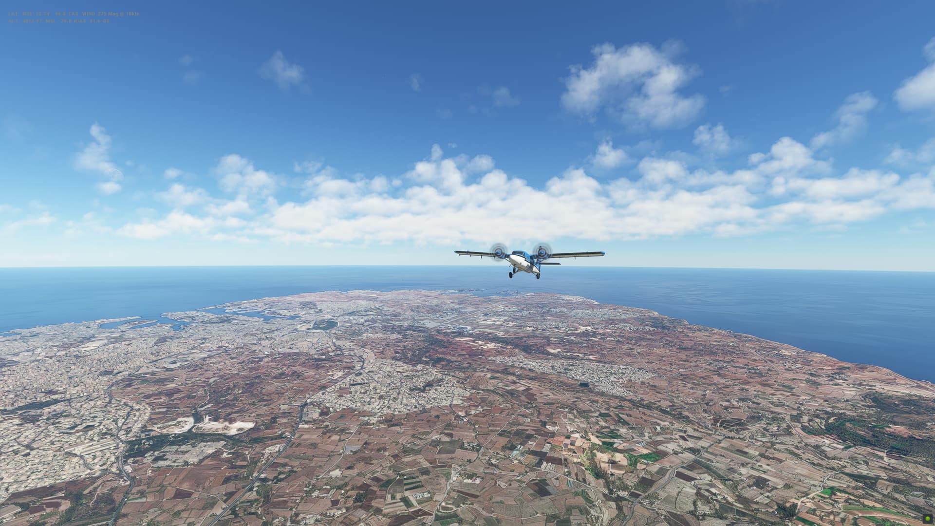
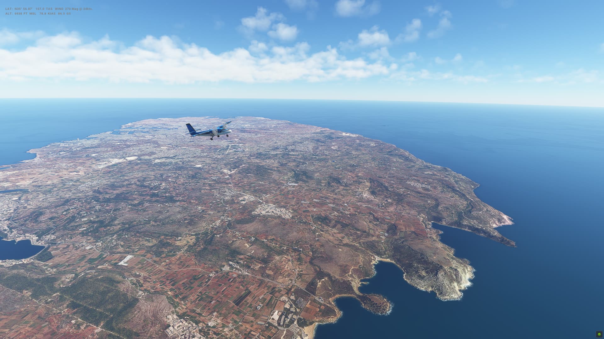
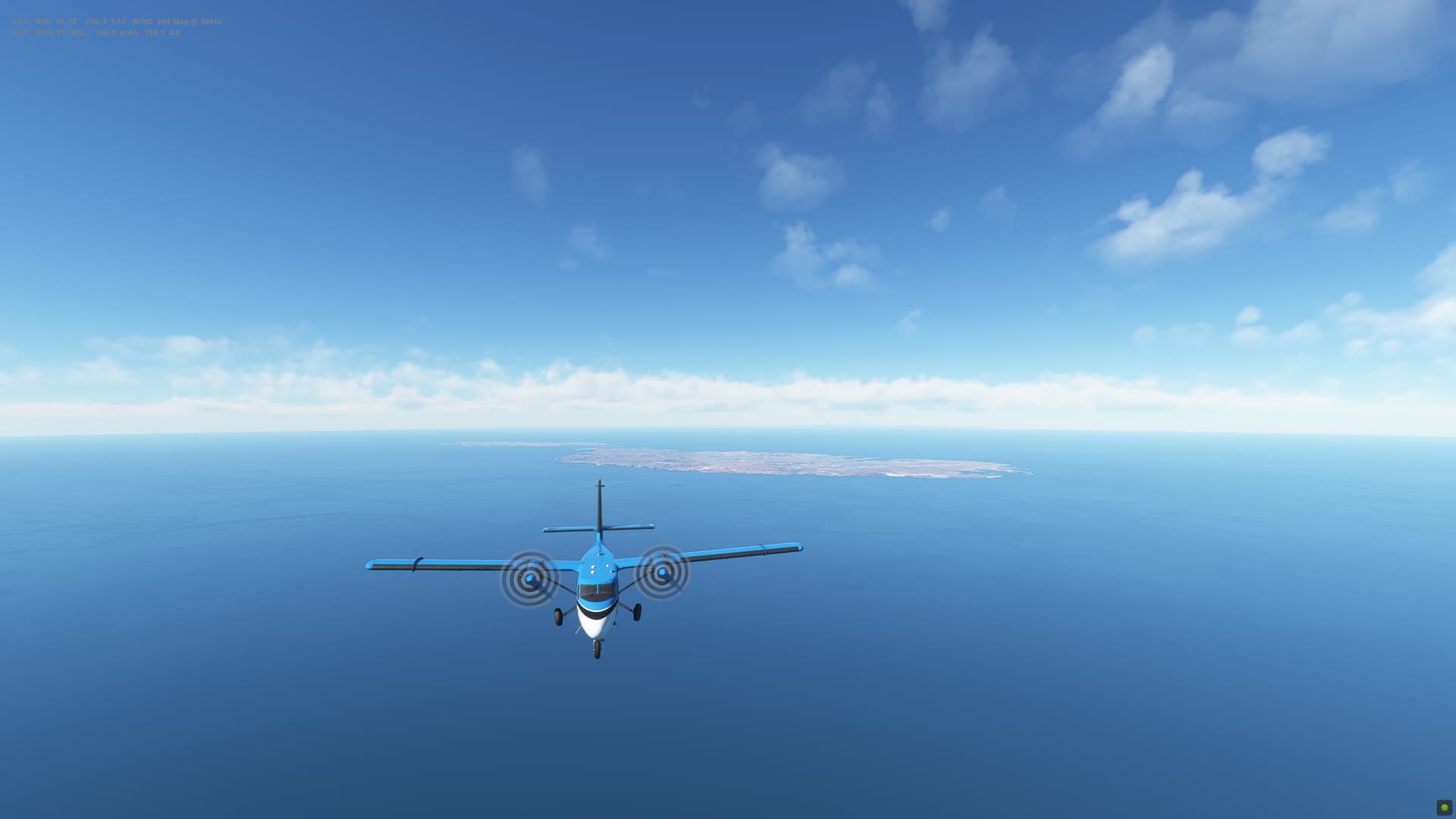
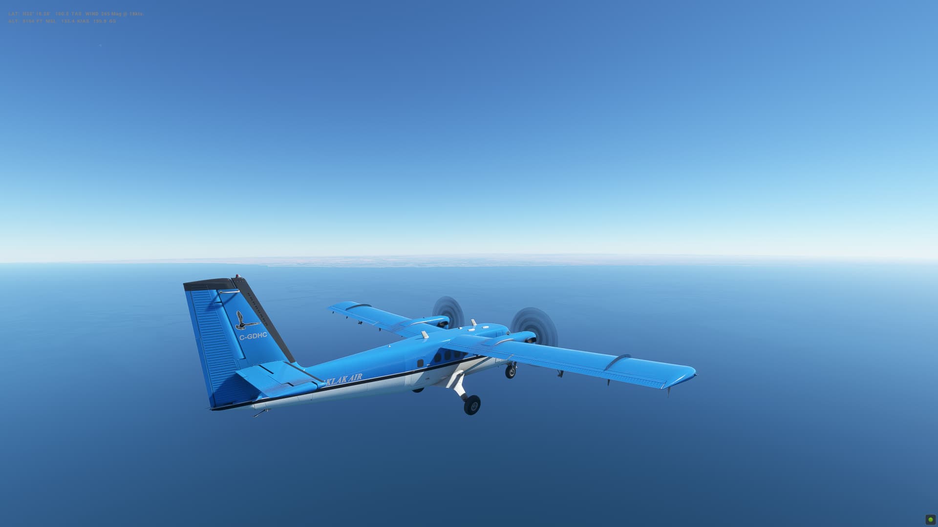
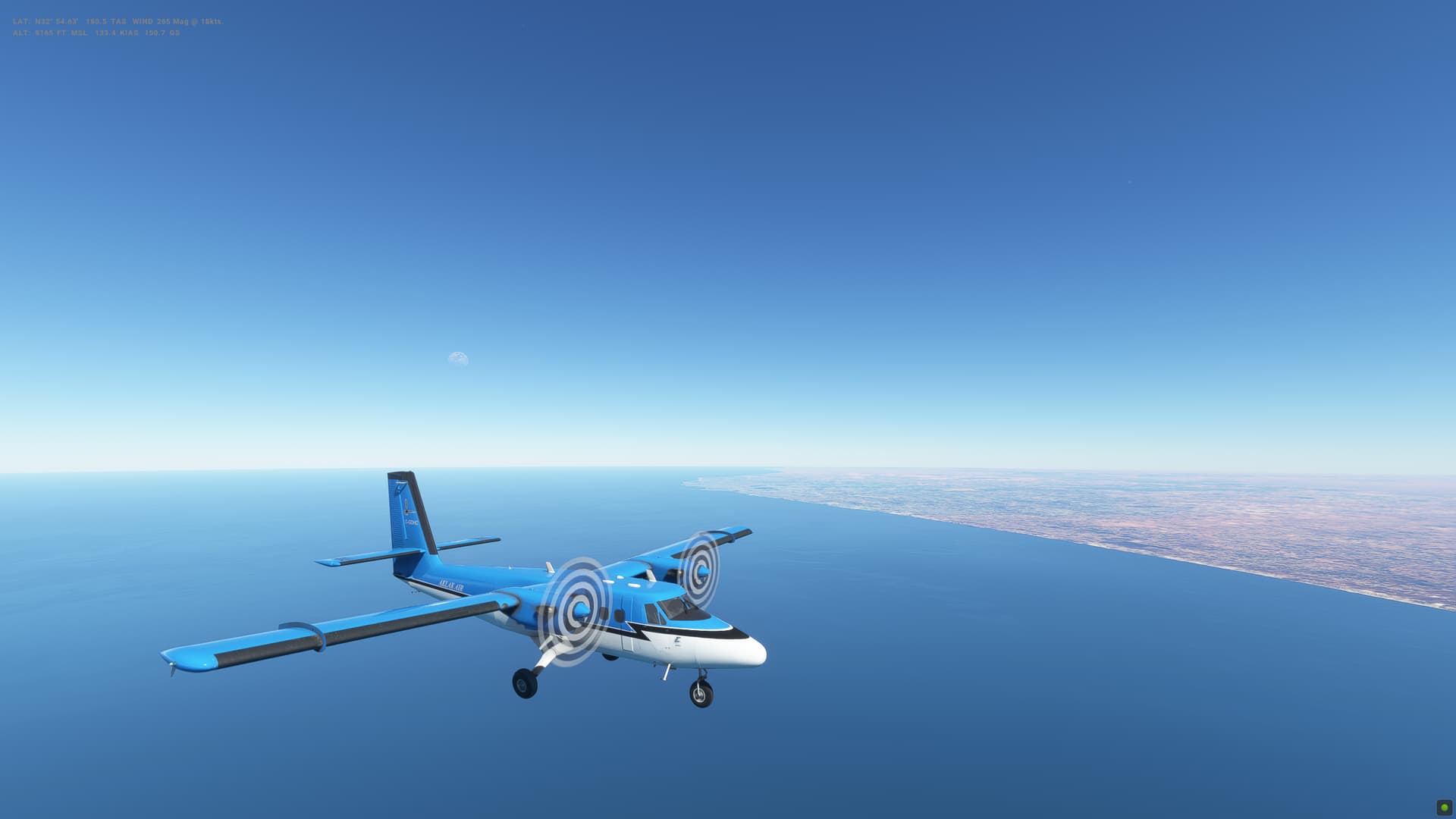
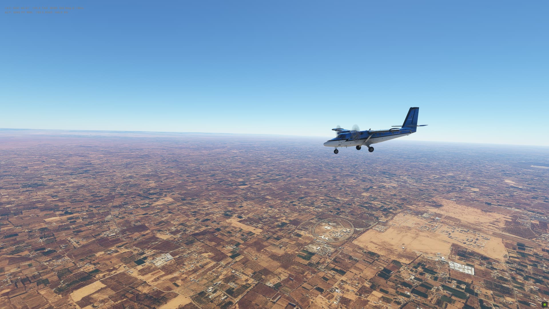
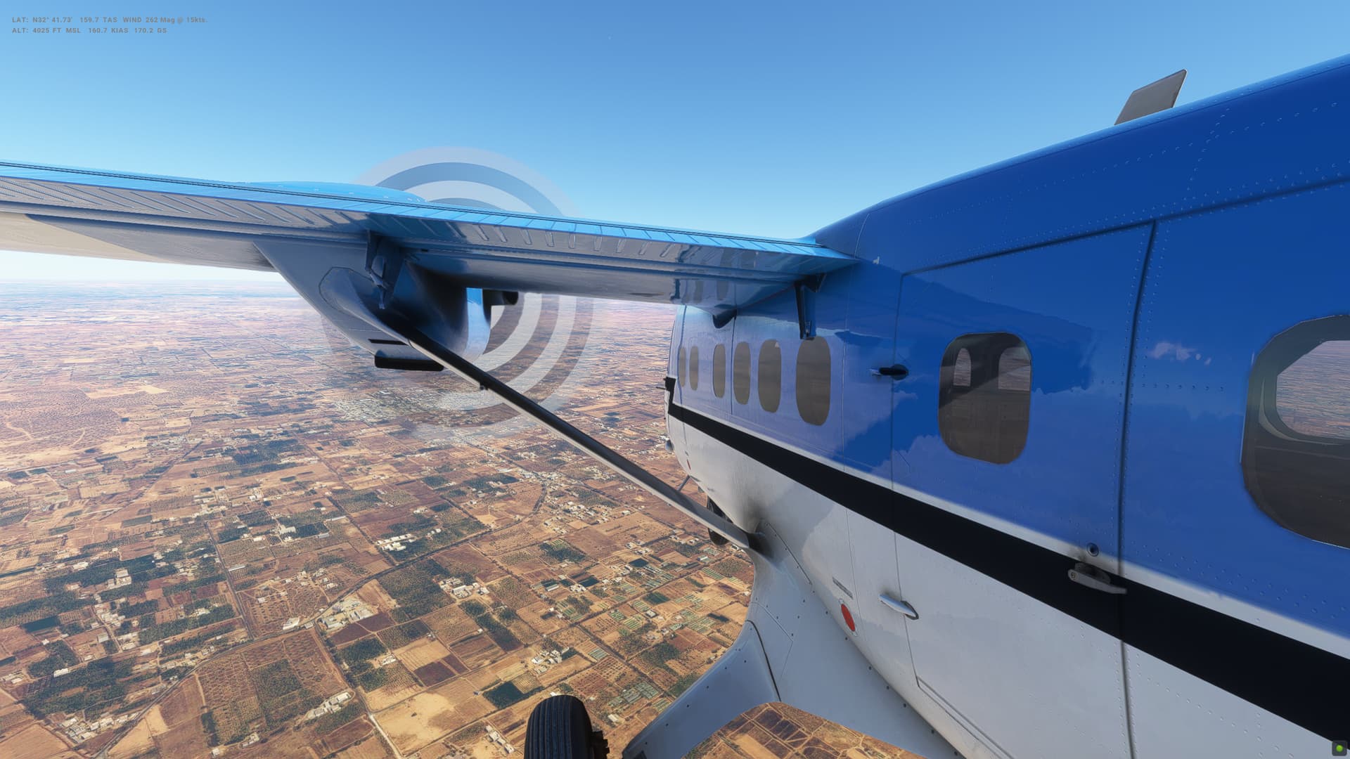
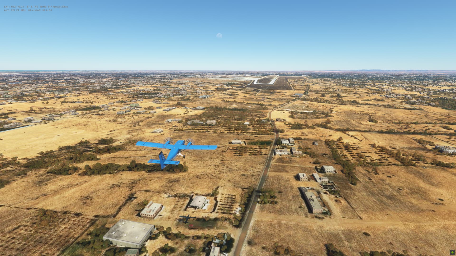
So we’ve left the BAe146 behind (was getting to really like it, but defnitely still struggling with the approach and landing) and stepped into something very different - the DHC-6 or Twin Otter. In our case, this time around, it’s the DHC-6-300 Wheels Cargo 3 Blade propeller variant.
It’s been quite I while since I flew what is essentially a GA plane with limted autopilot and no FMC of course, although the upgraded WT GNS530 is much nicer than than when the sim first launched 2.5 years ago.
Overall my take off and landings/approach are going to need some brushing up.
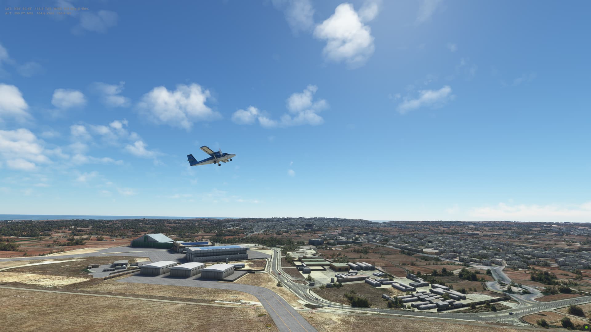
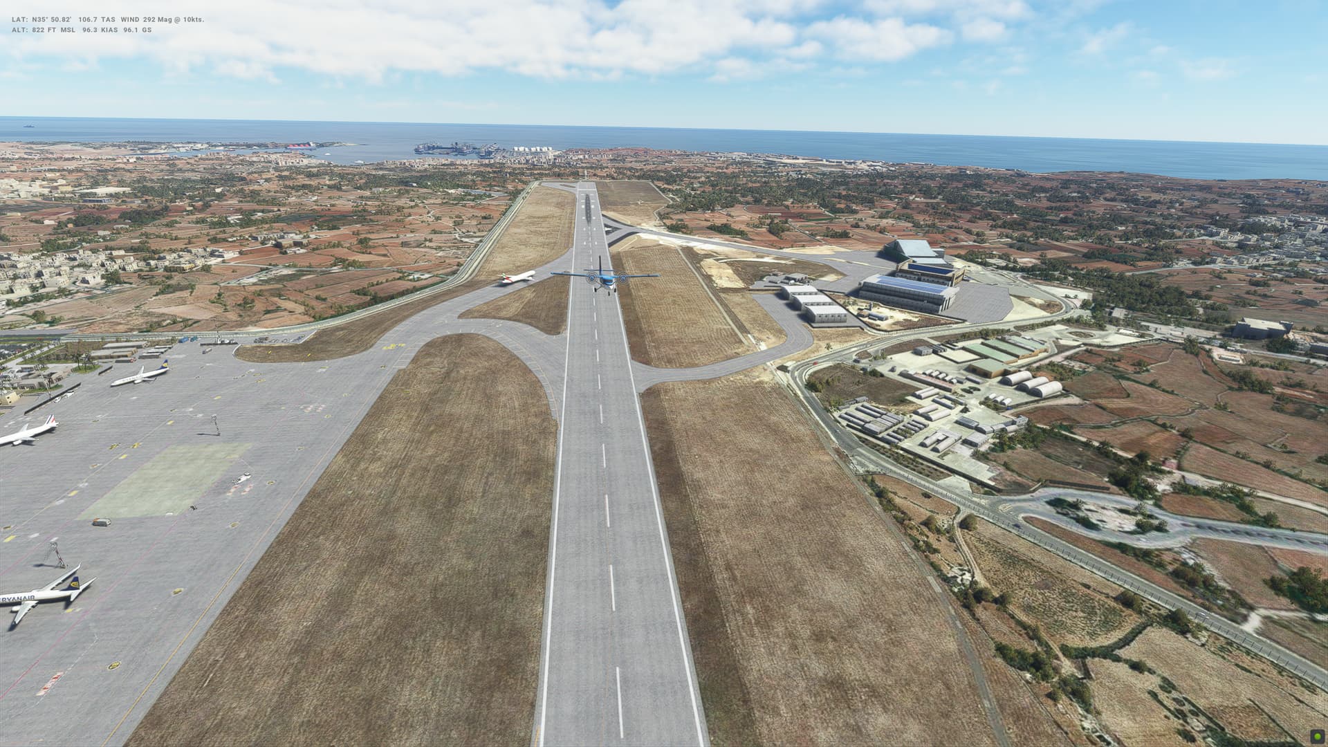
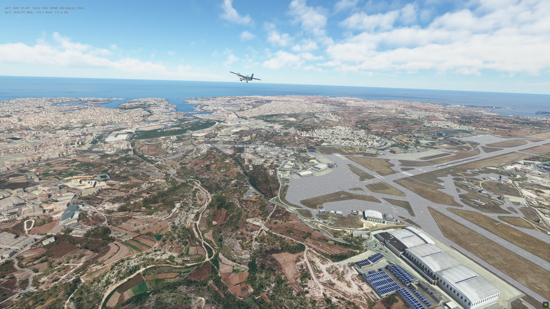
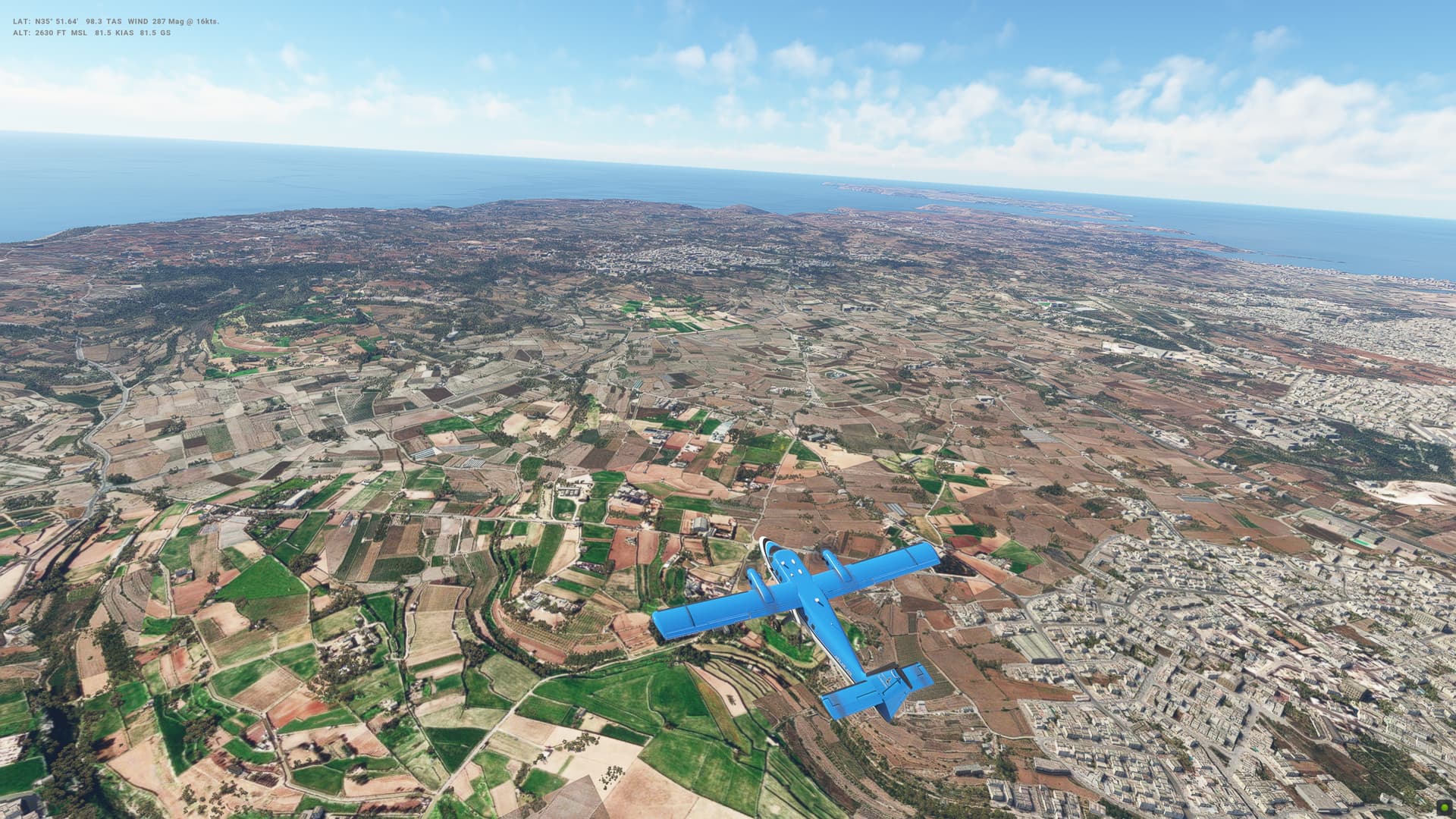
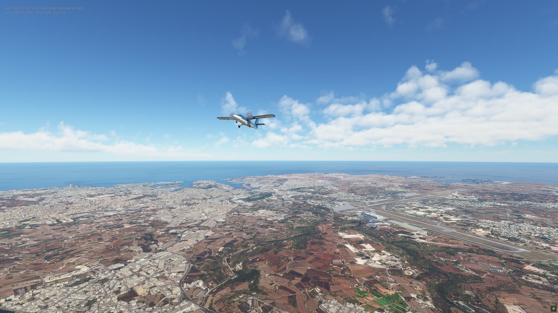
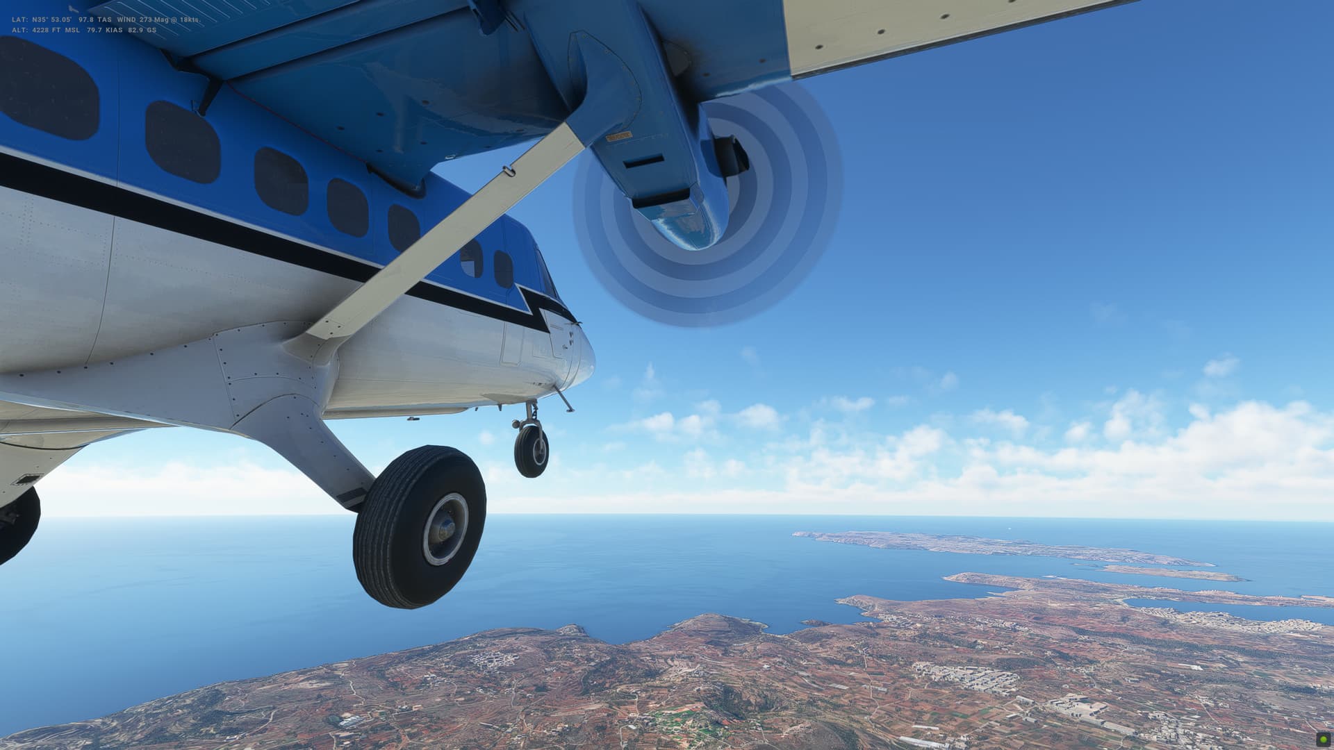
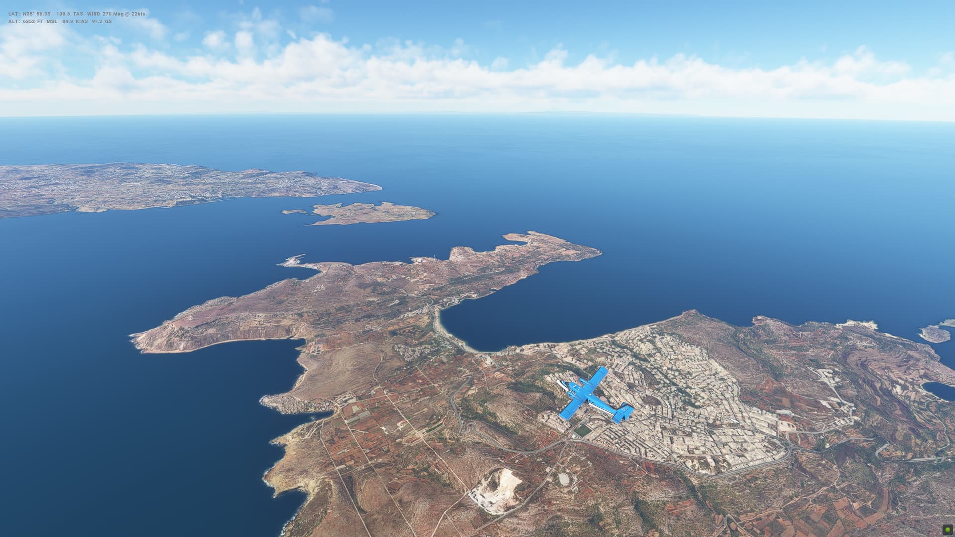
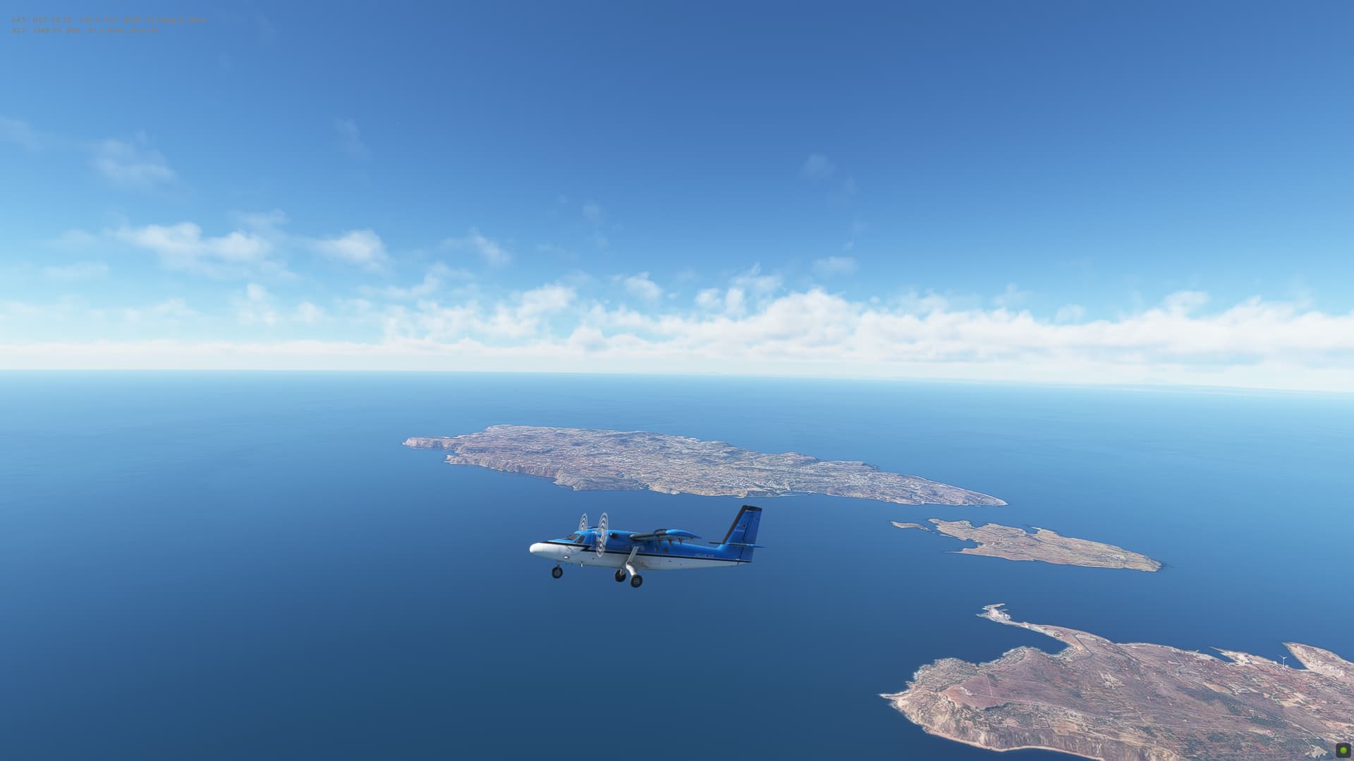
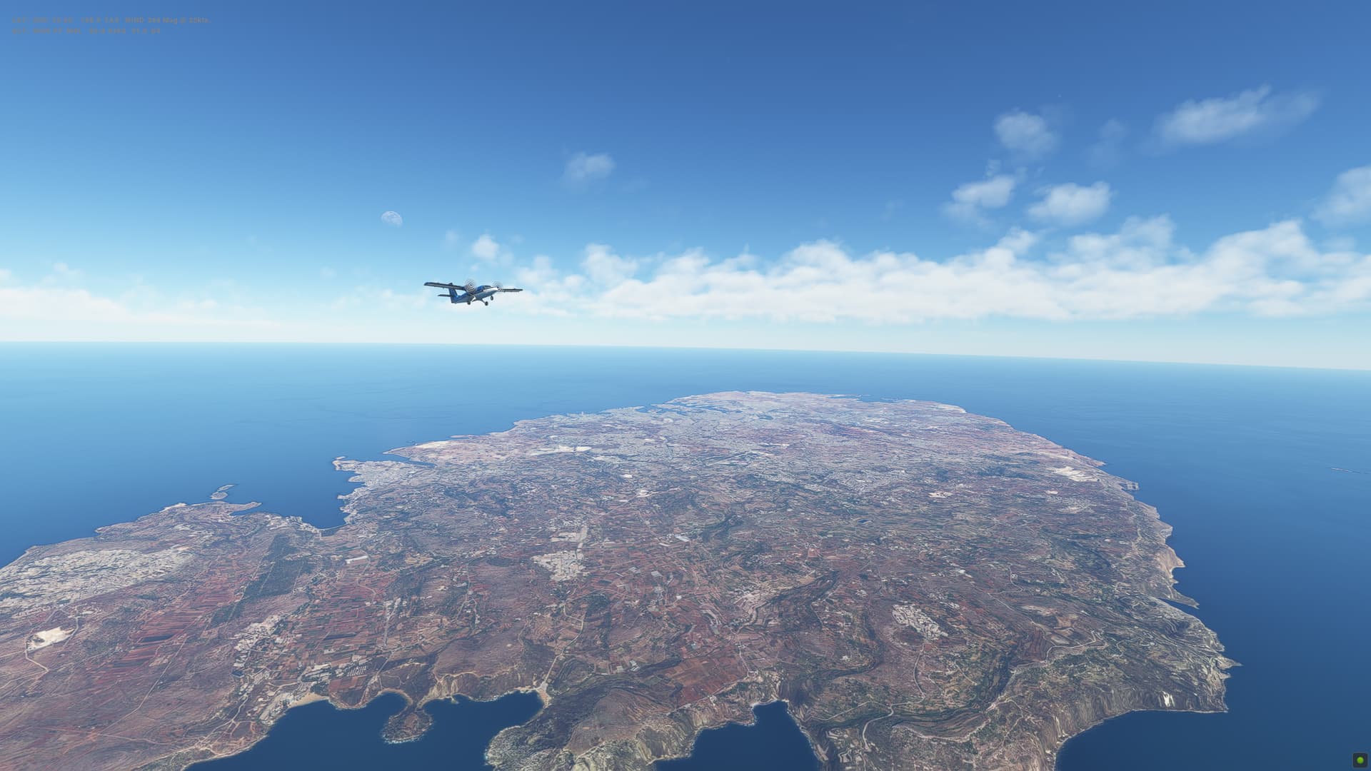
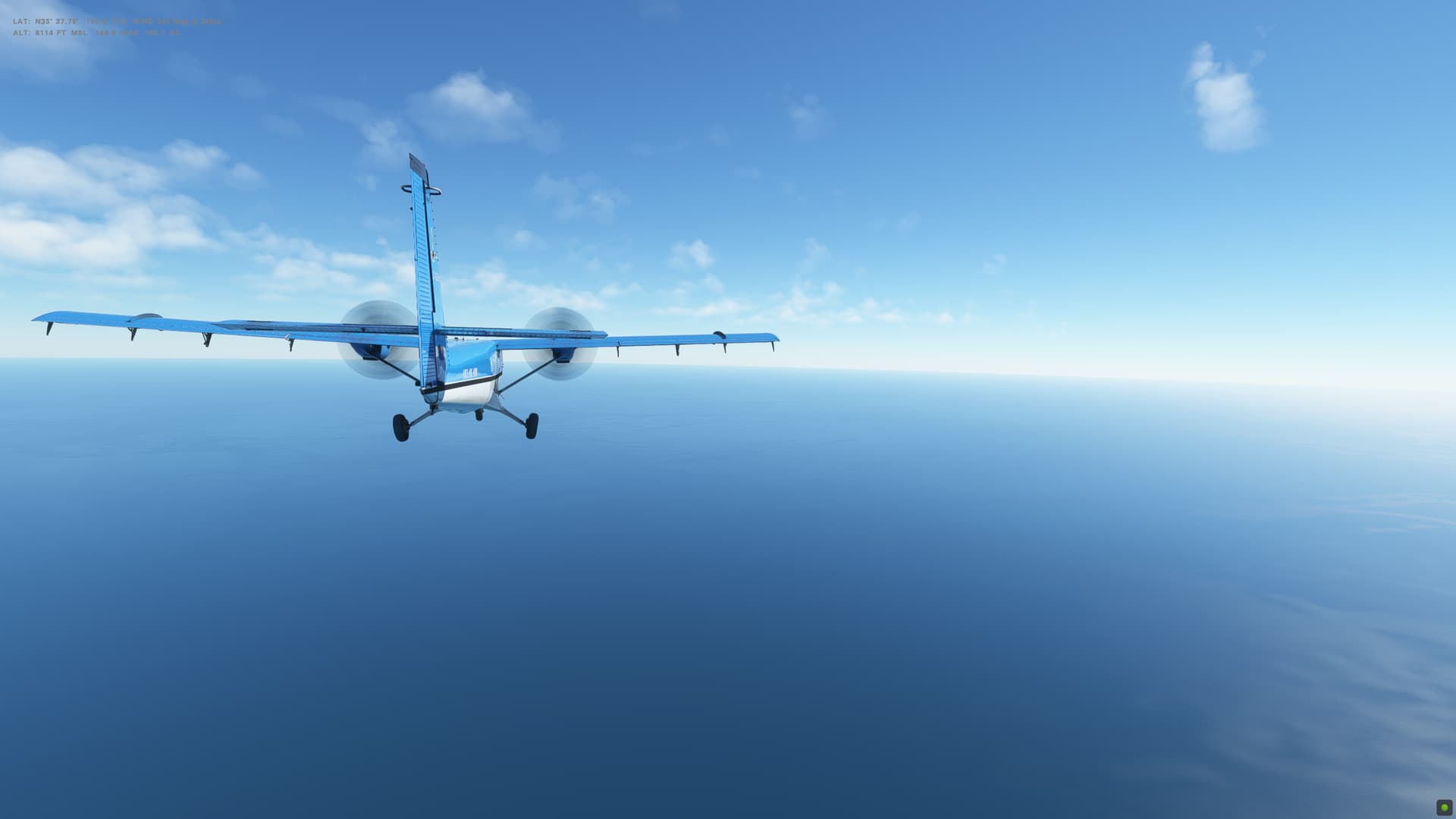
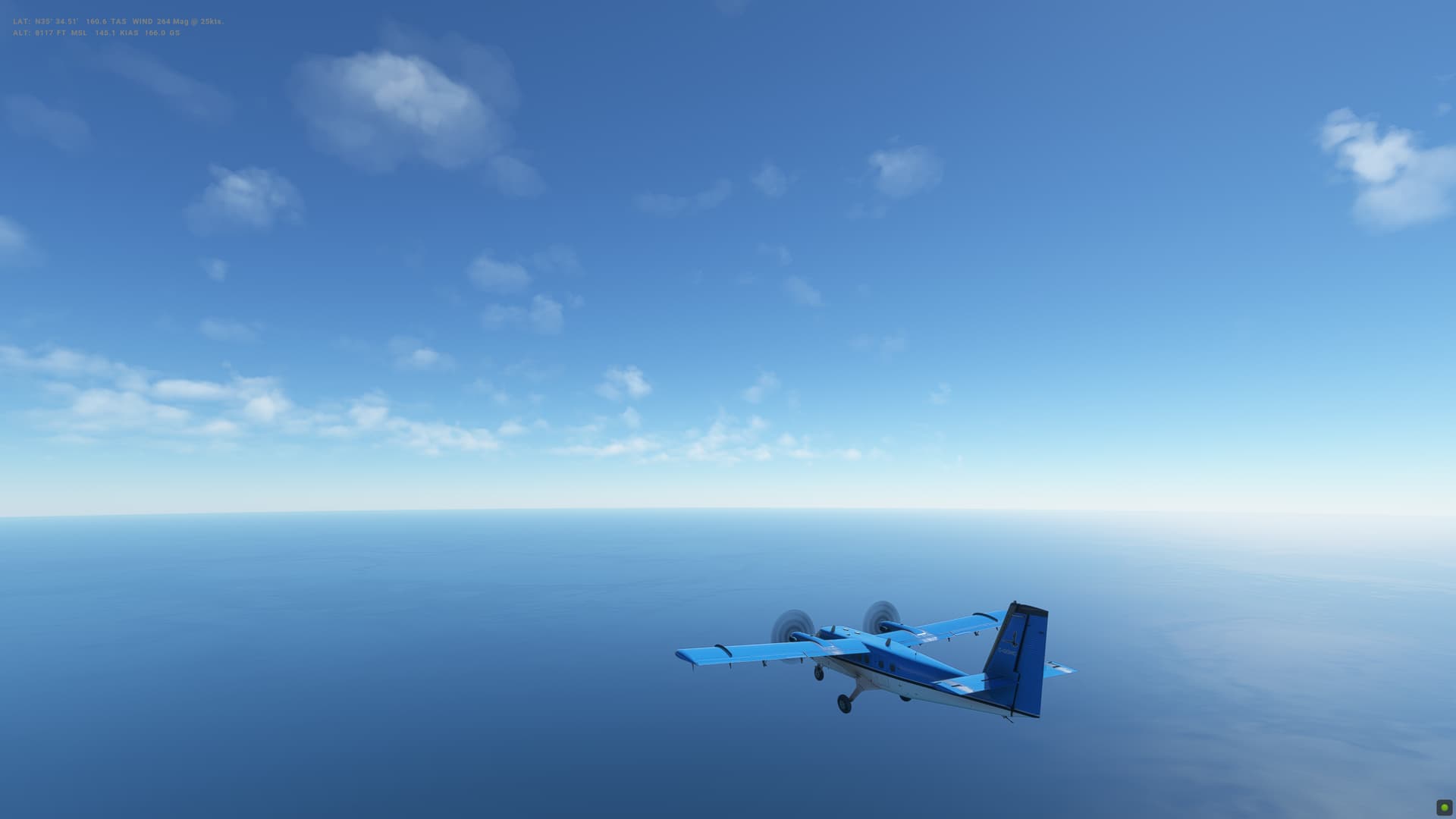
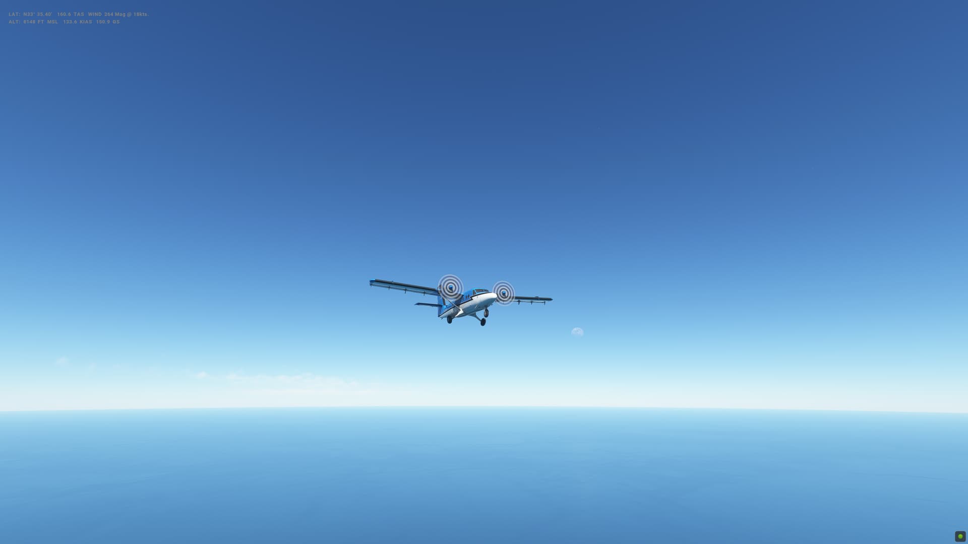
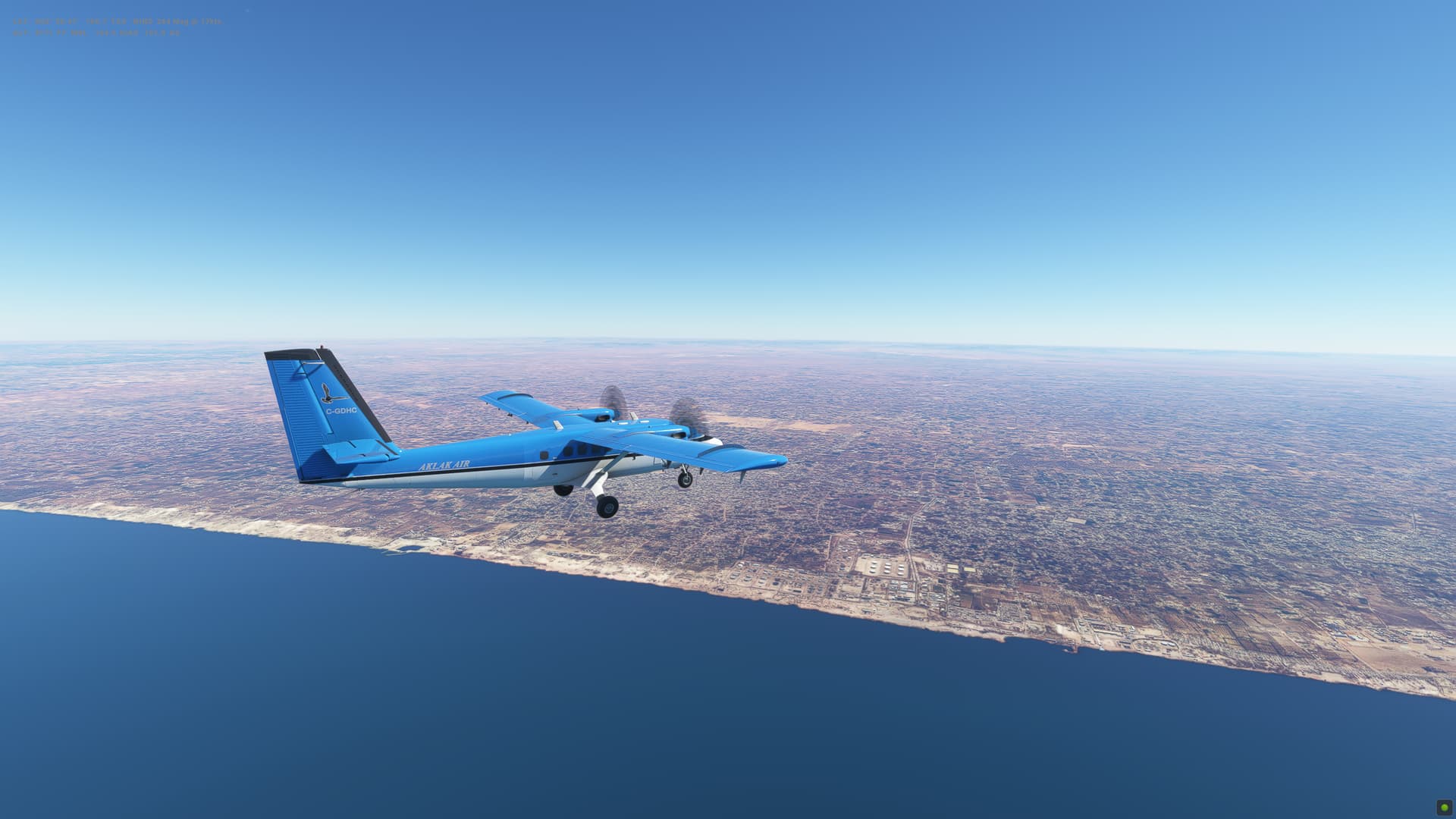
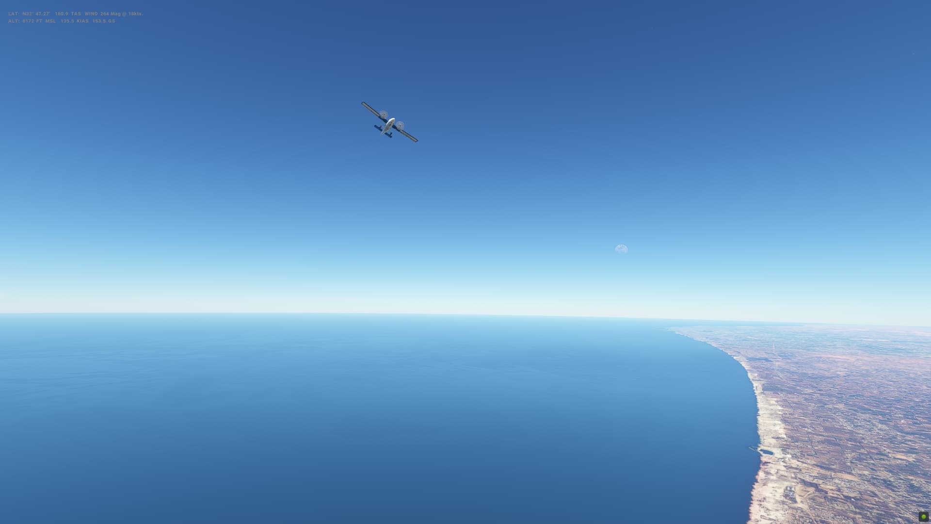
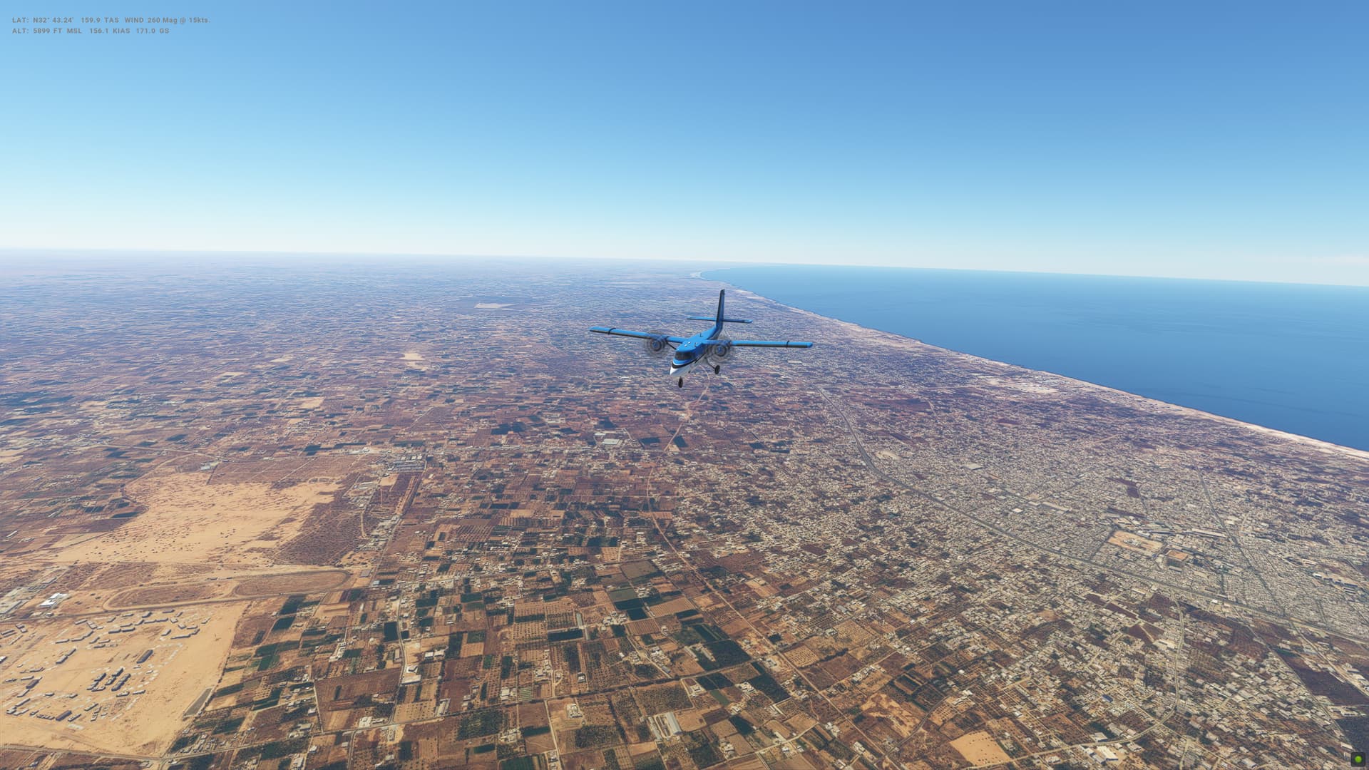
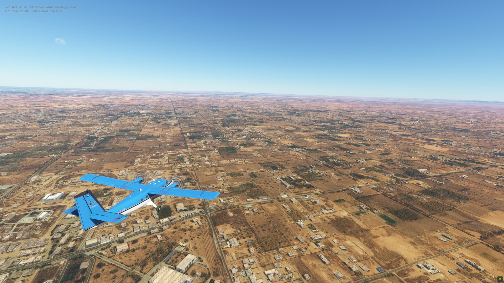
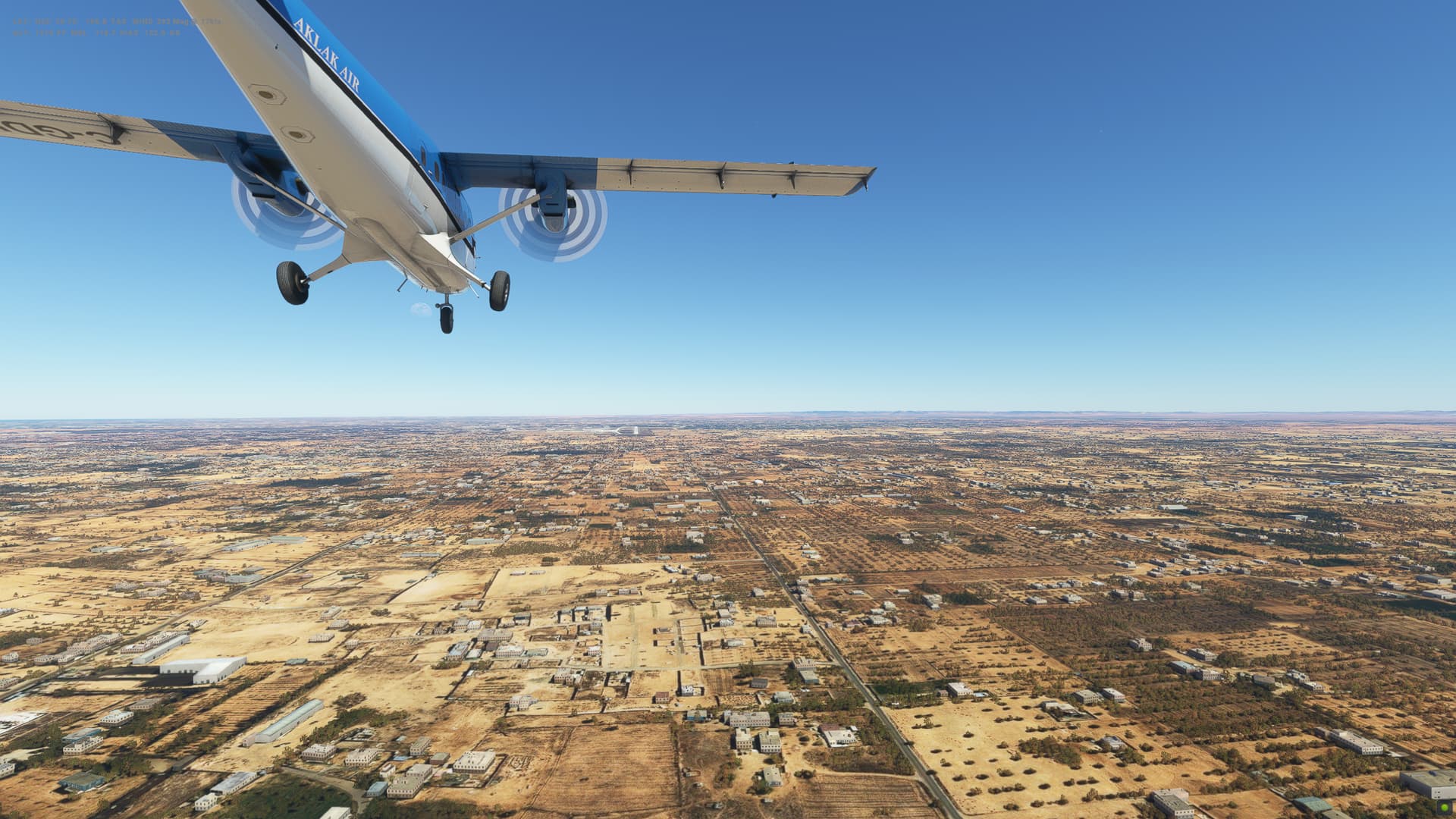
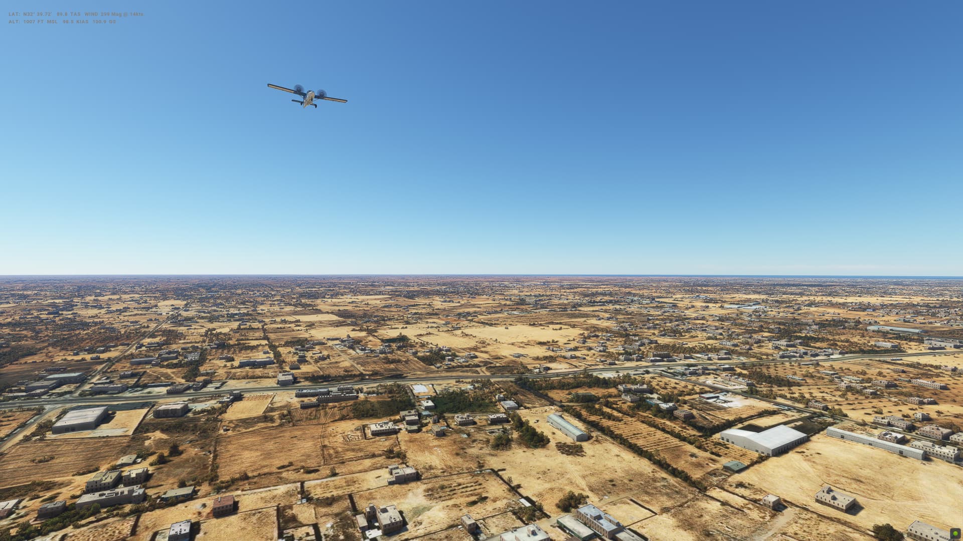
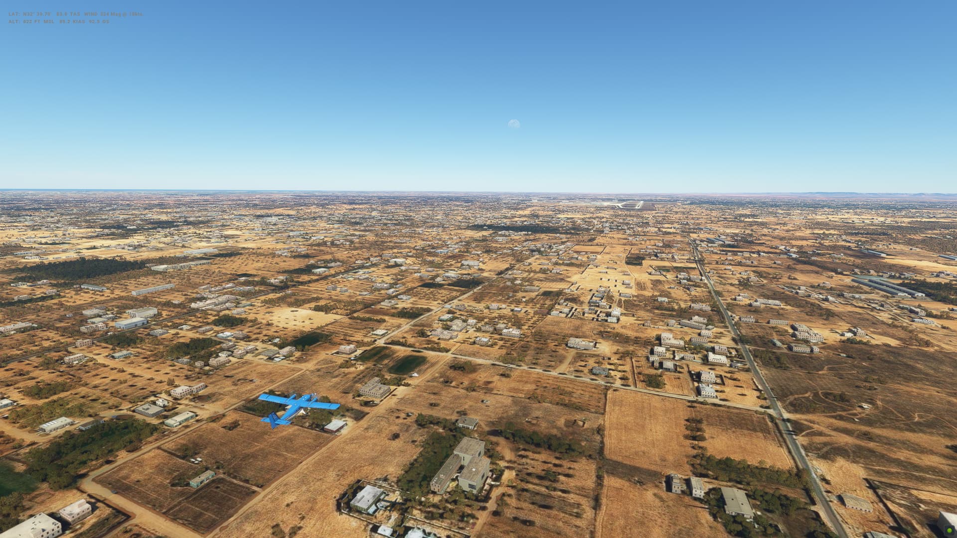
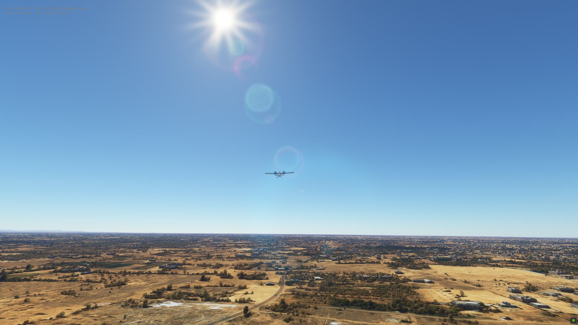
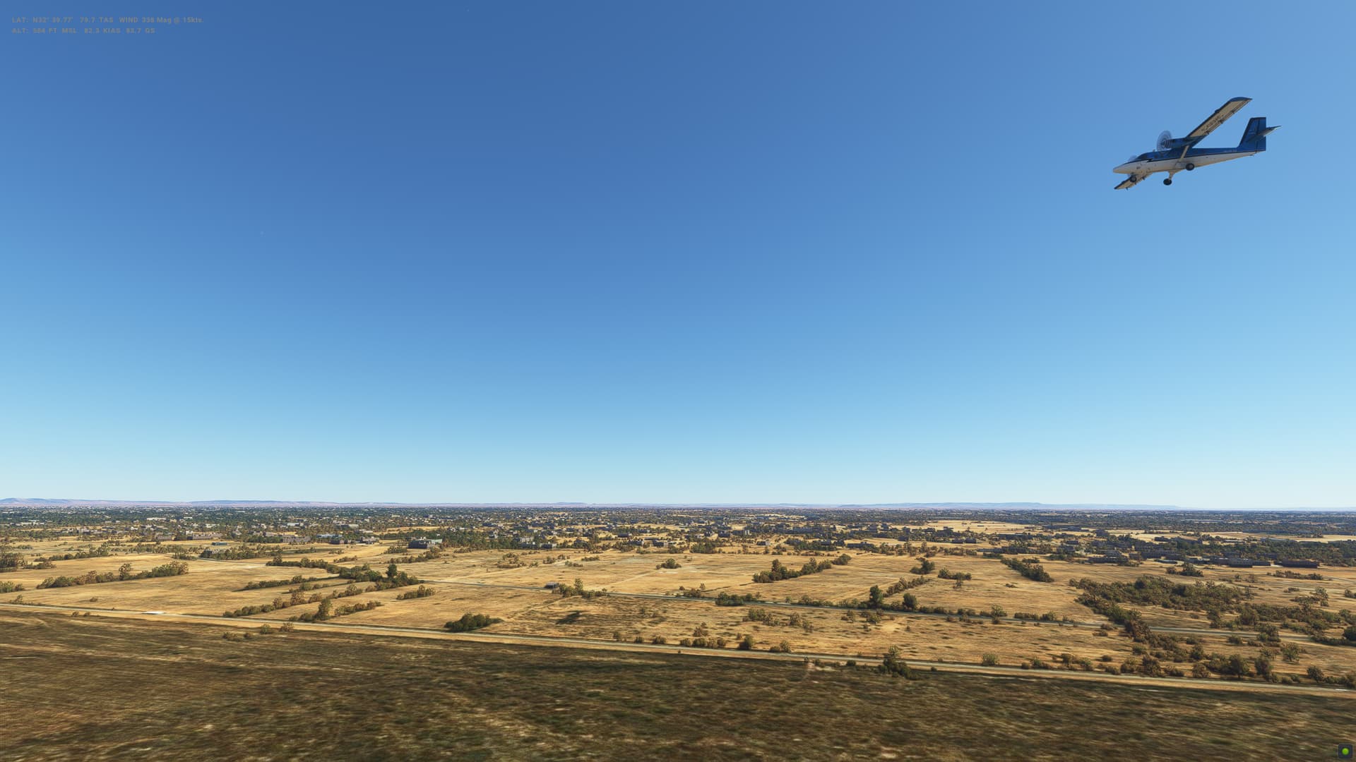
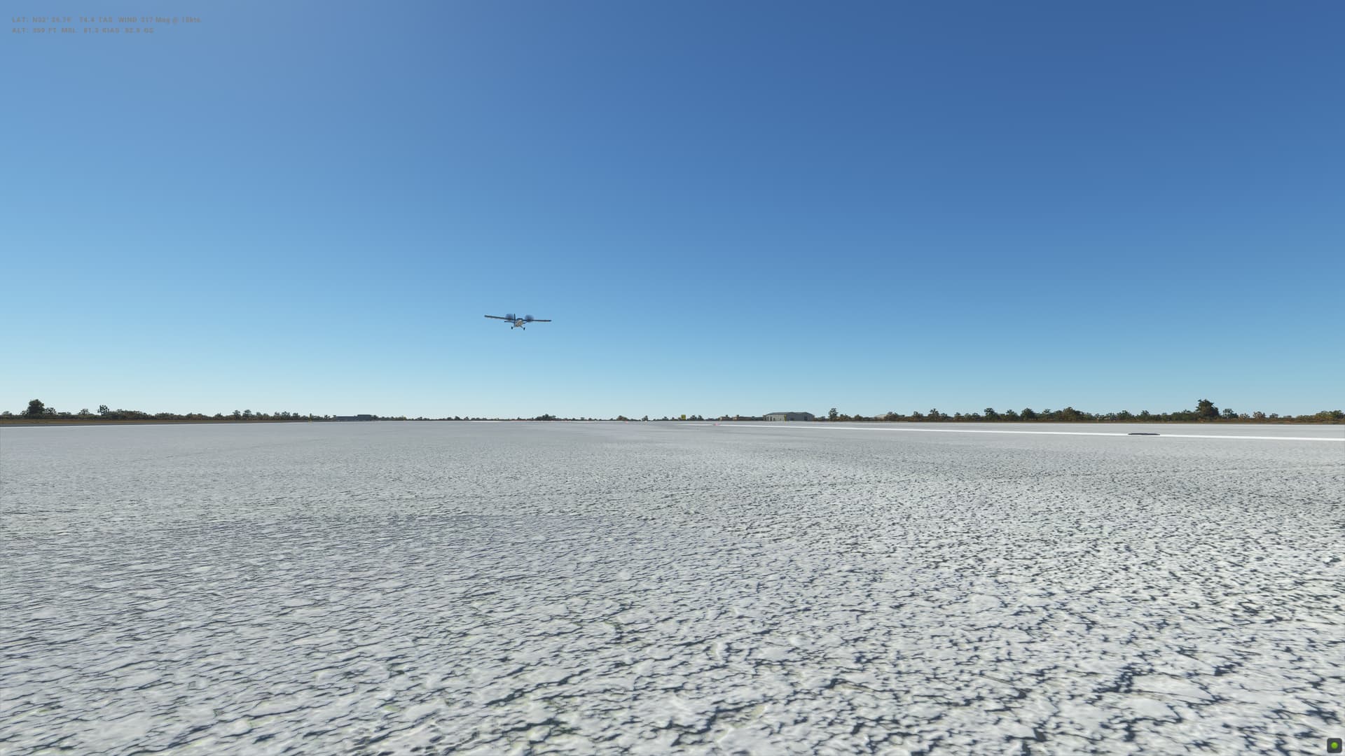
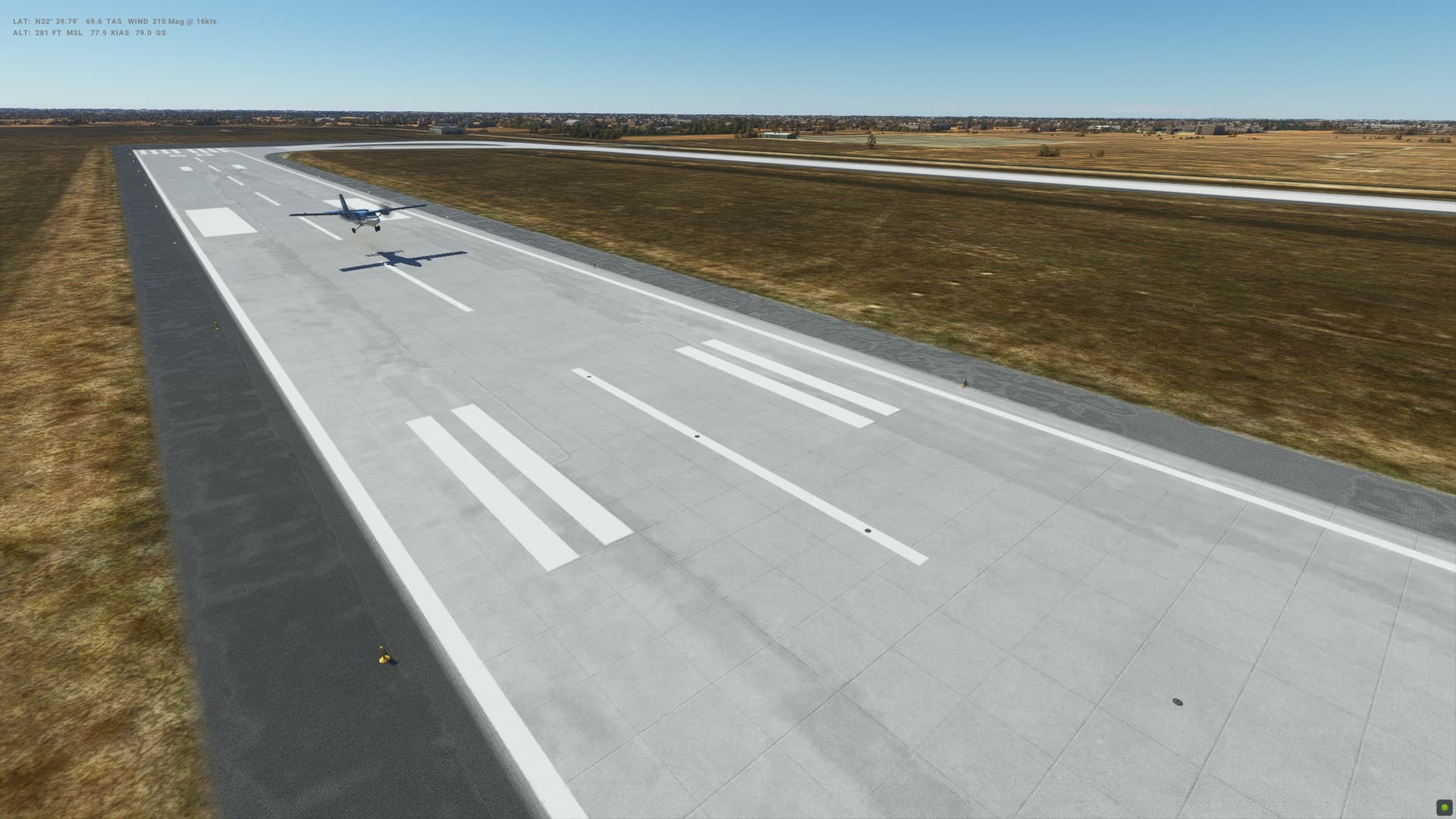
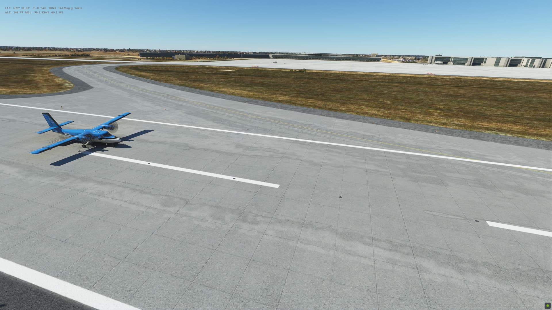
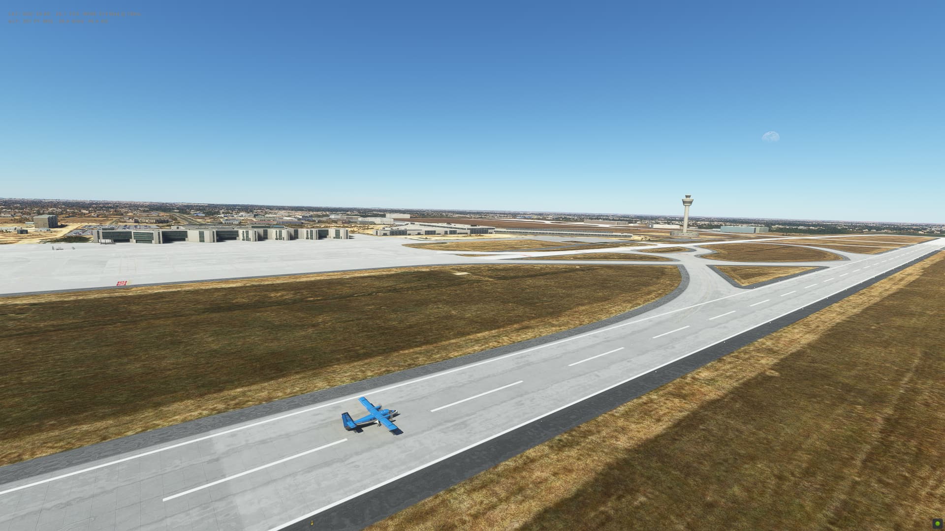
For today’s flight, it is beautiful weather as we head due South from Malta over the Mediterranean to Tripoli in Libya - as we enter a new continent! Hardly a cloud in the sky and so that made my life a lot easier come the landing. Still came in way too low, although touchdown was fine and then a bit of a struggle to stay on the centre of the runway.
Realistic turbulence setting post SU12 seems to defintiely create more turbulence than previously, and in a plane like this, some iffy live weather might make things very interesting over the next 5 flights.
Libya
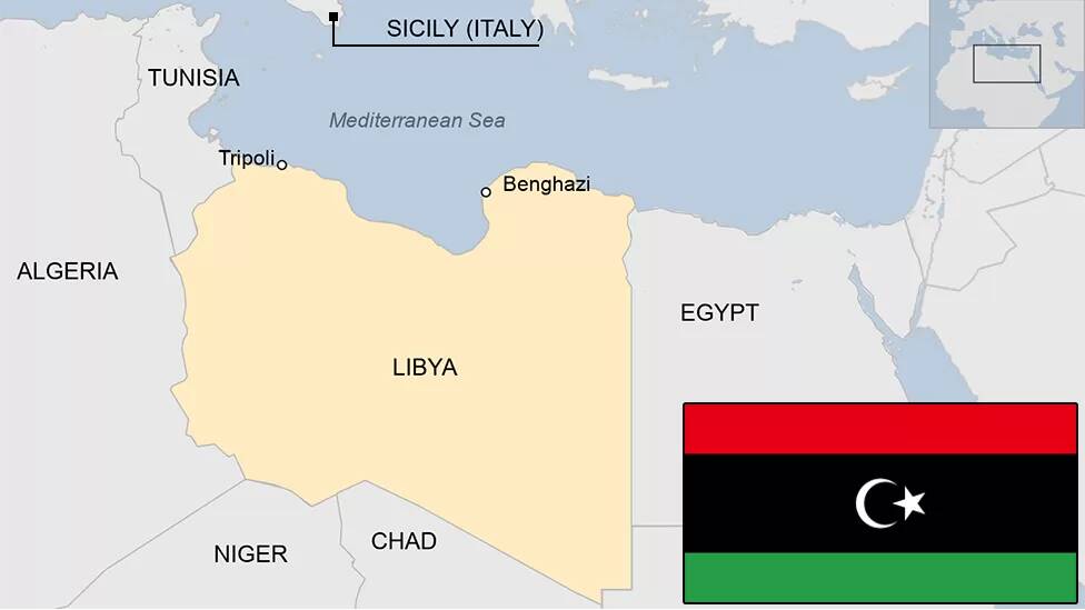
- Capital: Tripoli
- Area: 1,759,541 sq km
- Population: 7 million
- Language: Arabic
- Life expectancy: 70 years (men) 75 years (women)
Logbook
| This Leg | Leg | 38 | ||
|---|---|---|---|---|
| Date | 01/04/2023 | |||
| Aircraft | Twin Otter | |||
| Departure Airport | ICAO | LMML | ||
| Airport | Malta International Airport | |||
| Capital City | Valletta | |||
| Country | Malta | |||
| Runway | 31 | |||
| Arrival Airport | ICAO | HLLT | ||
| Airport | Tripoli International Airport | |||
| Capital City | Tripoli | |||
| Country | Libyan Arab Jamahiriya | |||
| Runway | 9 | |||
| Actual Time (Local) | Pushback Time | 10:00 | ||
| Take Off Time | 10:09 | |||
| Touchdown Time | 11:13 | |||
| Arrival Time | 11:15 | |||
| Air time | 01:04 | |||
| Total Time | 01:15 | |||
| Ground Distance (Nm) | 252 | |||
| Air Distance (Nm) | 258 | |||
| Great Circle Distance (Nm) | 203 | |||
| Fuel Start (Kgs) | 1,003 | |||
| Fuel End (Kgs) | 510 | |||
| Fuel Used (Kgs) | 493 | |||
| SID | SUDIK2D | |||
| Route | LMML/31 SUDIK2D SUDIK T299 VARIG VARIG1A HLLT/09 | |||
| STAR | VARIG1A | |||
| Approach | NDB/VOR 09 | |||
| Passengers | 16 | |||
| Cargo (000 Kgs) | 0 | |||
| Take Off Weight (000 Kgs) | 5.7 | |||
| Cruising Altitude (feet) | 8,000 | |||
| Cumulative | Ground Distance (Nm) | 11,242 | ||
| Air Distance (Nm) | 11,141 | |||
| Great Circle Distance (Nm) | 8,746 | |||
| Total air time | 19:41 | |||
| Total time | 02:04:09 | |||
| Fuel Used (Kgs) | 92,607 |
Flightplan:
IFR (LMML) to (HLLT).lnmpln (1.2 KB)

Timelapse Video

Screenshots


Overall route so far
UTDD UTTT UCFM UACC UTAA OIII UBBB UGTB UDYZ ORBI OKBK OBBI OOMS OMAA OTHH OERK OJAI LLBG OSDI OLBA LCEN LTAC LRBS LBSF LWSK BKPR LATI LYPG LQSA LYBE LHBP LZIB LOWW LDZA LJLJ LIPR LIRE LMML HLLT
