![]() Thank you for using the Bug section, using templates provided will greatly help the team reproducing the issue and ease the process of fixing it.
Thank you for using the Bug section, using templates provided will greatly help the team reproducing the issue and ease the process of fixing it.
Are you using Developer Mode or made changes in it?
No
Have you disabled/removed all your mods and addons?
Yes
Brief description of the issue:
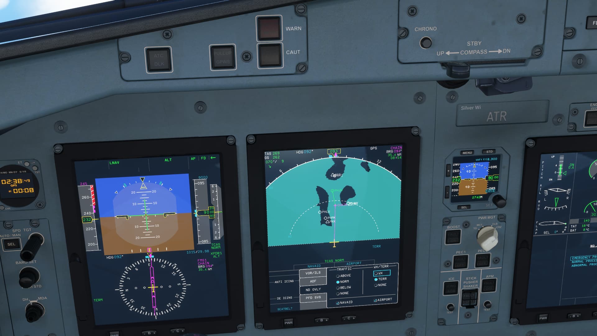
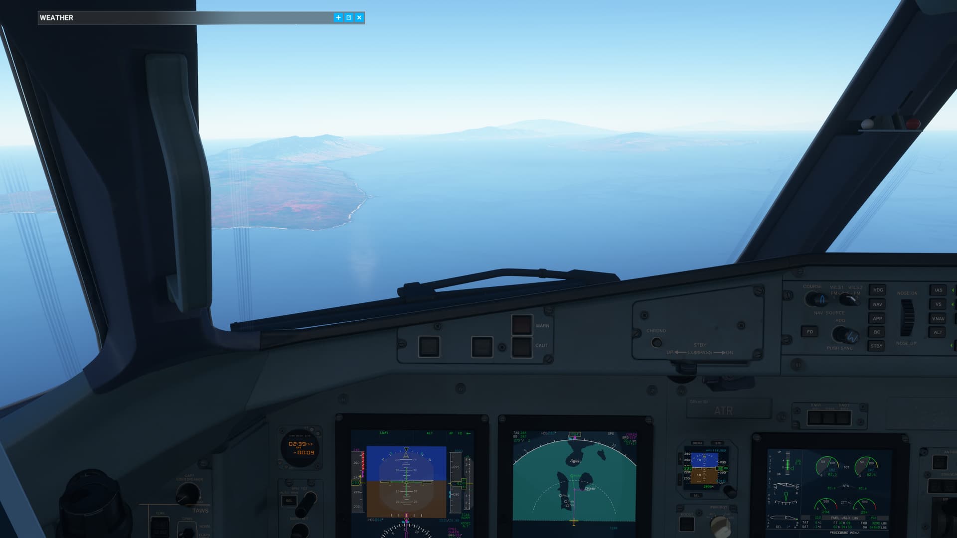
In the ATR, the projection of the TERR map on the ND is accurate to aircraft position. However, the projection of waypoints, navaids, and airports is not. I have flown the ATR a lot the last few days, and this is not localized, however my example screenshots are taken flying eastbound through the islands of Hawaii. In my screenshots, you will see that the island of Molokai is off my left, and Lanai off my right. Straight ahead is the island of Maui. The island position and dimensions are accurate. My destination PHJH should be on the nearest shore of Maui. Also note that the navaids/airports that are off-route do not have accurate positions. MKK and PHMK should be in the center part of Molokai (left island). PHLU should be at the northernmost tip of the peninsula on the north of Molokai. LNY and PHNY should be inland from the bay on Lanai (right island). OGG and PHOG should be located near the center of Maui island (ahead).
Provide Screenshot(s)/video(s) of the issue encountered:
Detailed steps to reproduce the issue encountered:
PC specs and/or peripheral set up if relevant:
Build Version # when you first started experiencing this issue:
1.32.7.0
![]() For anyone who wants to contribute on this issue, Click on the button below to use this template:
For anyone who wants to contribute on this issue, Click on the button below to use this template:
Do you have the same issue if you follow the OP’s steps to reproduce it?
Provide extra information to complete the original description of the issue:
If relevant, provide additional screenshots/video: