ATTENTION Aussie Flight Group Participants …
Group Flight:2022-05-26T10:00:00Z
PLEASE DO NOT SPAWN ON THE RUNWAY. ENSURE YOU SELECT THE STARTING POSITION ON THE RAMP.
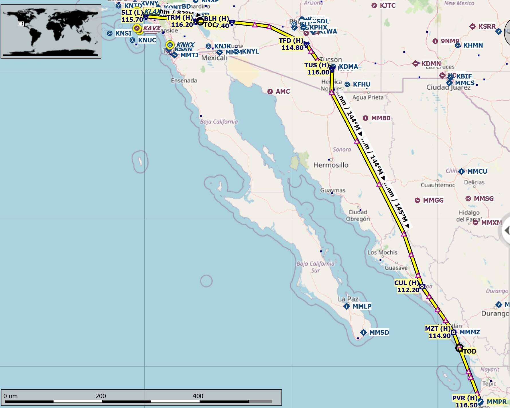
Route: KLAX SLI J78 TRM J169 TFD J92 VYLLA UT12 CUL UJ7 MZT J141 PVR MMPR
Cruising Altitude: FL410.
Airport details:
Los Angeles Intl(KLAX)
Elev: 128’
RW 06L/24R Cement
RW 06R/24L Cement
RW 07L/25R Cement
RW 07R/25L Cement
Lic Gustavo Diaz Ordaz Intl(MMPR)
Elev: 23’
RW 04/22 Asphalt
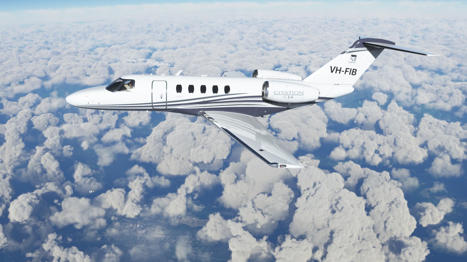
Aircraft: CJ4 (Working Title edition): Working Title /CJ4 - v0.12.13
IMPORTANT: In the interest of keeping it REAL, please refrain from selecting inappropriate aircraft, like airliners. This only detracts from the immersion of the flight.
Seeing Aircraft Correctly: You need to do two things to ensure you can see the other pilots in the event and see them in the aircraft they selected.
Select the same server: To do this, proceed as follows:
From the Welcome Screen, click on your Username (top right)
From the list of servers, under Servers, select WEST USA
Turn off Generic Planes: To do this, proceed as follows:
From the Welcome Screen, click on OPTIONS
Click on GENERAL
With TRAFFIC selected, scroll down to the last option and set USE GENERIC PLANE MODELS to OFF
Turning off Crash/Damage:
Select Options/Assistance
Expand Failure & Damage
Disable Crash Damage
Disable Aircraft Stress Damage
Disable Engine Stress Damage
Accept the changes
Voice Room: My personal Discord server is used for voice comms. If you haven’t already joined my server, click on the below link to request access. I will set you up as a Member so you can access the server. Ensure you do this prior to the flight, as latecomers will need to wait for the next event.
Link to join the Voice Room: Aussie Group Flights Team - On-line Flying
Note: this link is only valid for 7 days from posting.
Weather/Time: We will set the time to REAL TIME and REAL WEATHER. This will allow us to fly in a variety of times based on the timezone we are flying.
From the World Map view, click on Flight Conditions (upper right of screen)
Click on All Players, Live Traffic, Custom
Under Weather and Time, select Live Weather and Real Time.
Click Close and Fly from the World Map view.
We can start departing from 10:00z. There will be no need for official radio calls. Lets just have some fun taking in the scenery and the social aspects of the event.
Turning on Points of Interest
Select Options/Assistance
Expand POI
Set Landmark Markers to ON
Set City Markers to ON
Set Airport Markers to ON
Accept the changes
Turning on Name Tags (This will assist you in following the group if you get disoriented):
Select Options/GeneralTraffic
Set Show Traffic Nameplates to On
Accept the settings
Still confused, check out the multiplayer video tutorial from SimHangar Flight Simulation: MSFS | MULTIPLAYER | How To Guide | Everything You Need To Know | Fly in events coming soon. - YouTube
Let me know if there’s anything else that I’ve missed that you need to know.,
Regards, Paul