Breaking the Law Again

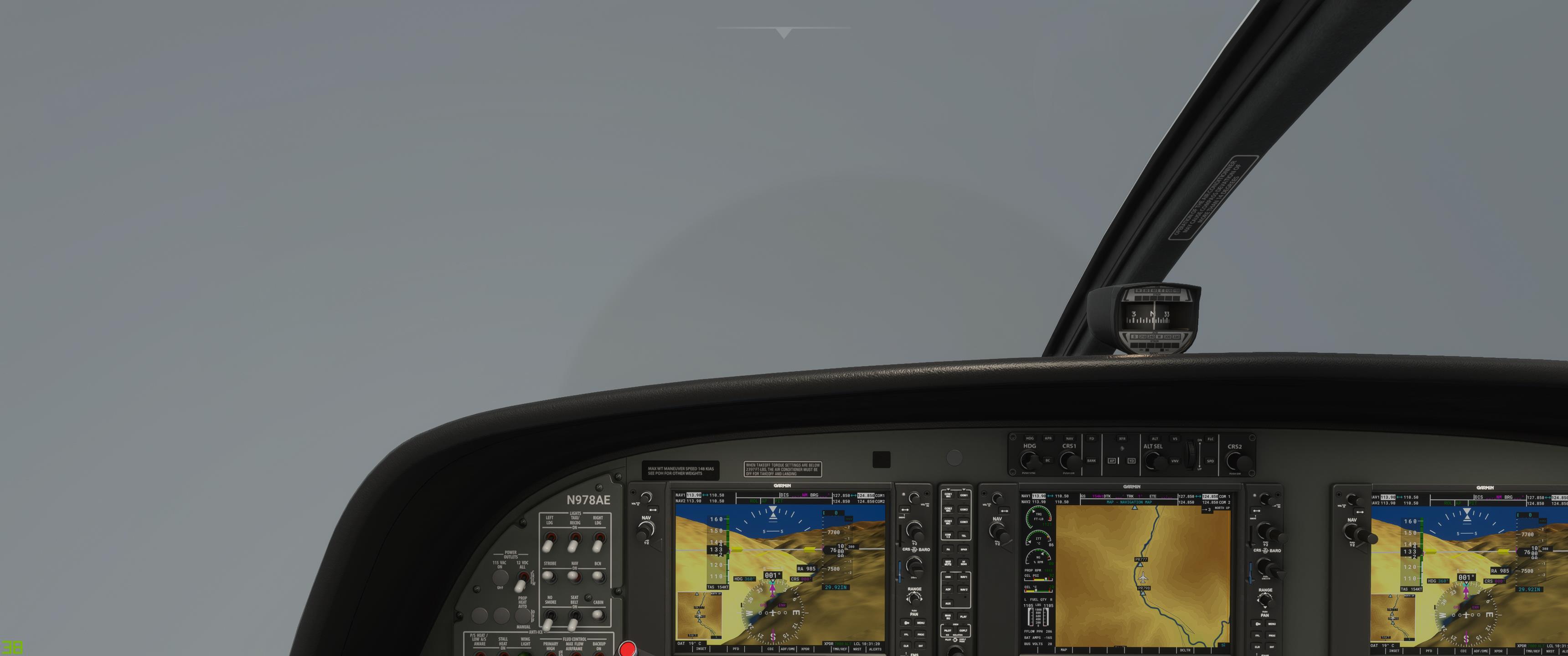
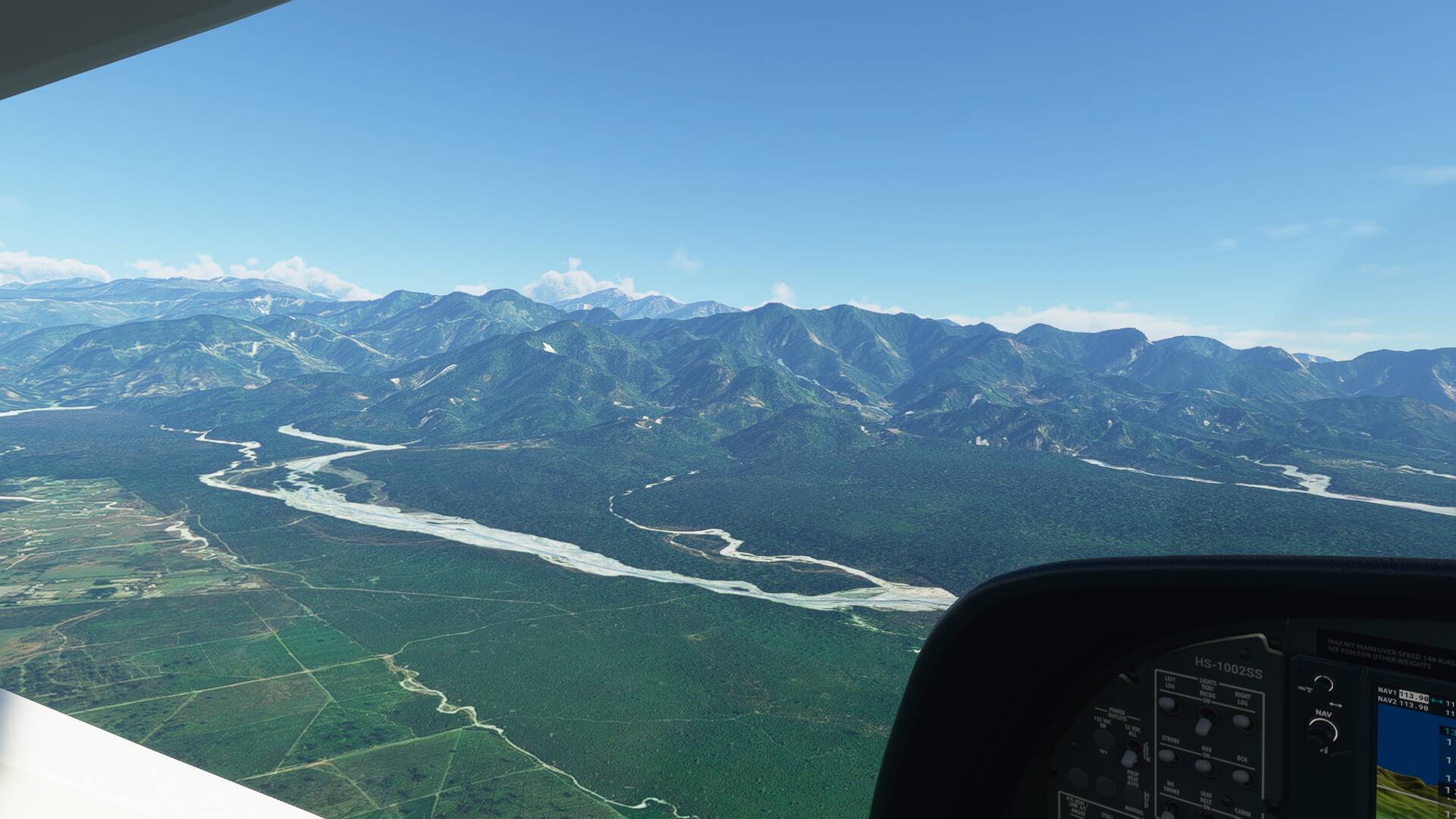
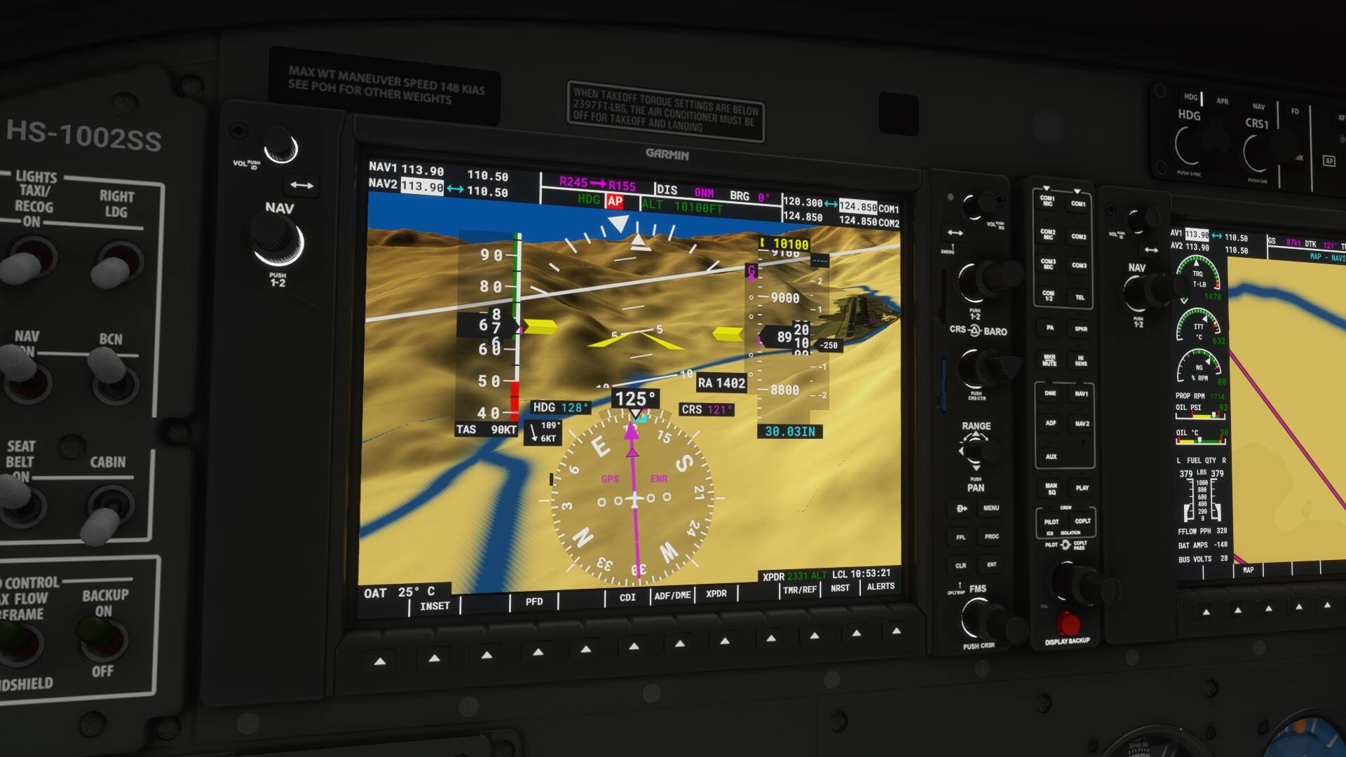
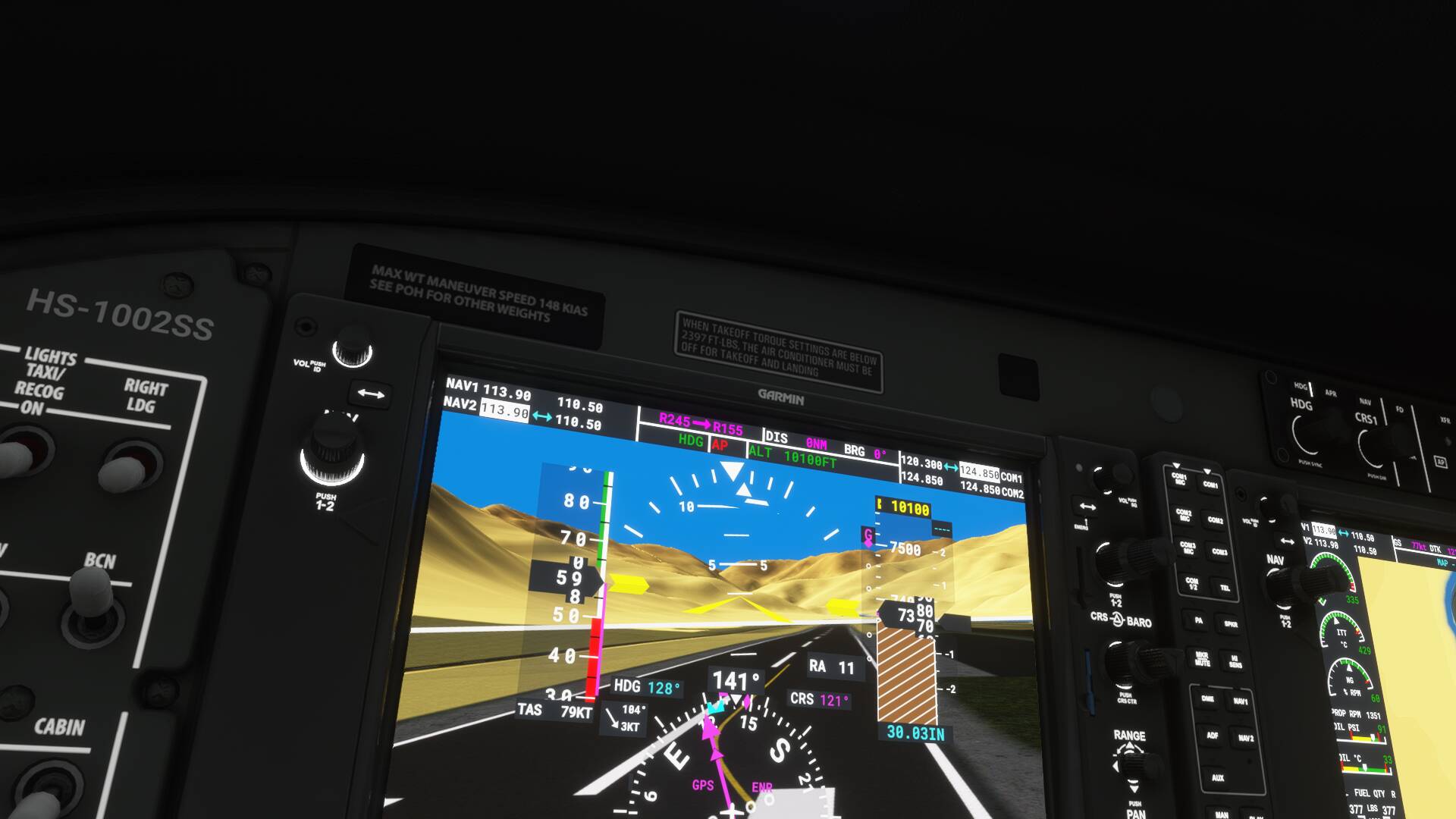
It was time again for me and @CuzDawg3 to have our weekly bit of bad behavior in bad weather. I was ready a bit before he was and decided it would be a good idea to fly from VE44 (IIRC) to VQPR Paro using the RNAV 15 X approach. It was a short trip (only about 50 miles) but the departure field is near sea level, Paro is 7333’, and there are mountains twice that tall in between. CuzDawg3 soon joined me en route.

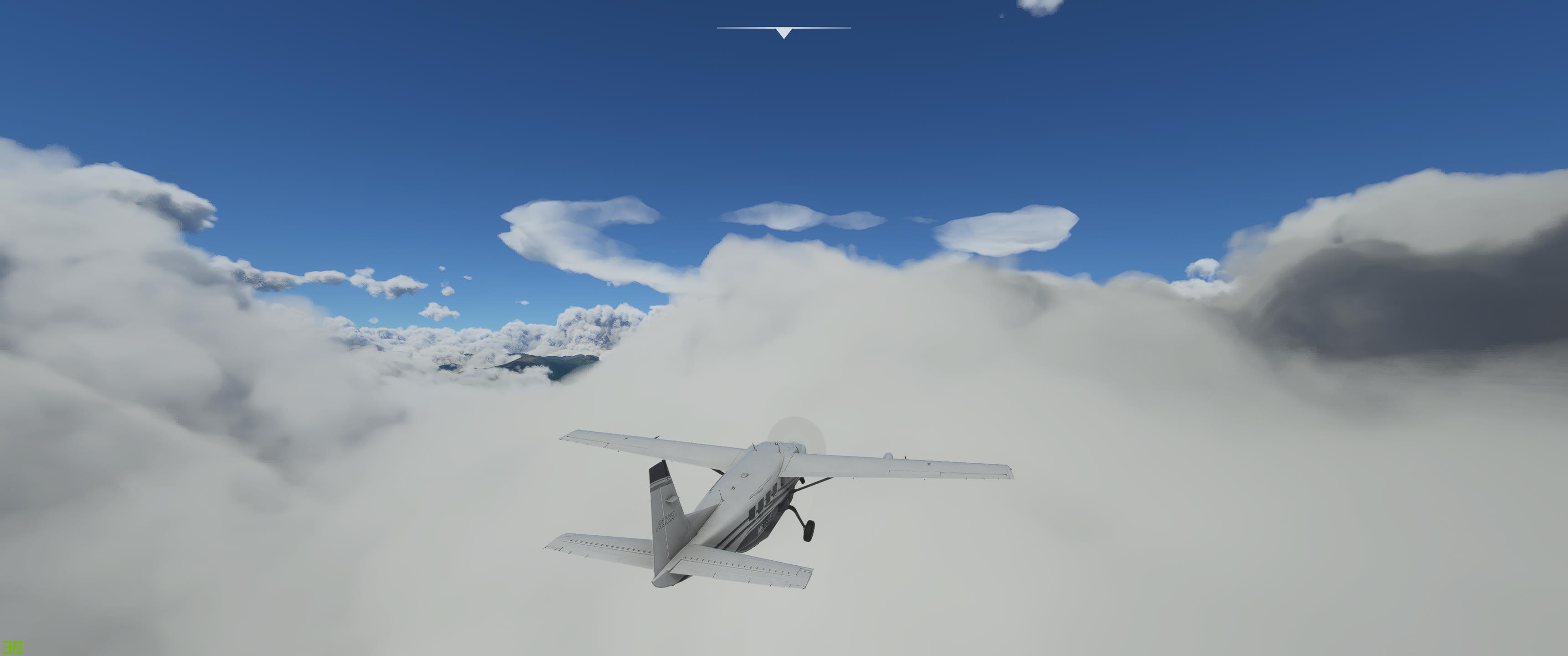
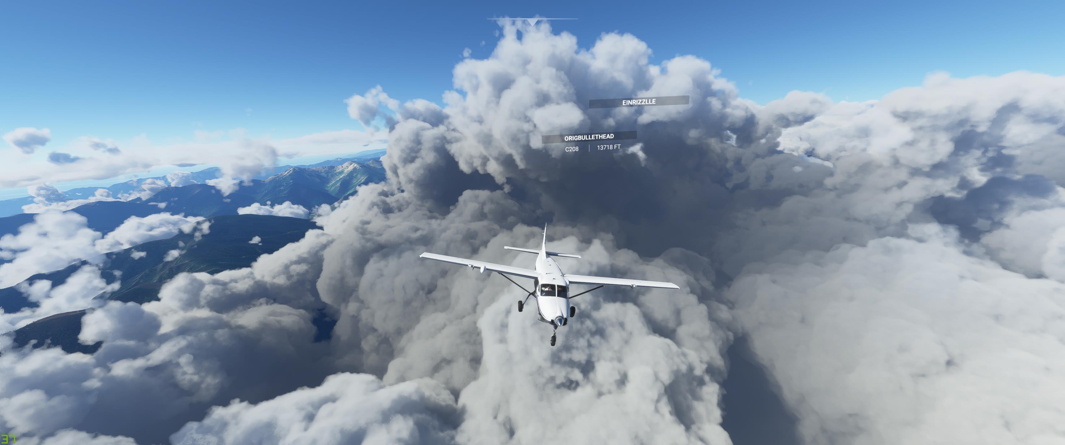
It was a beautiful day down below but as we scaled the mountains, we found the clouds.


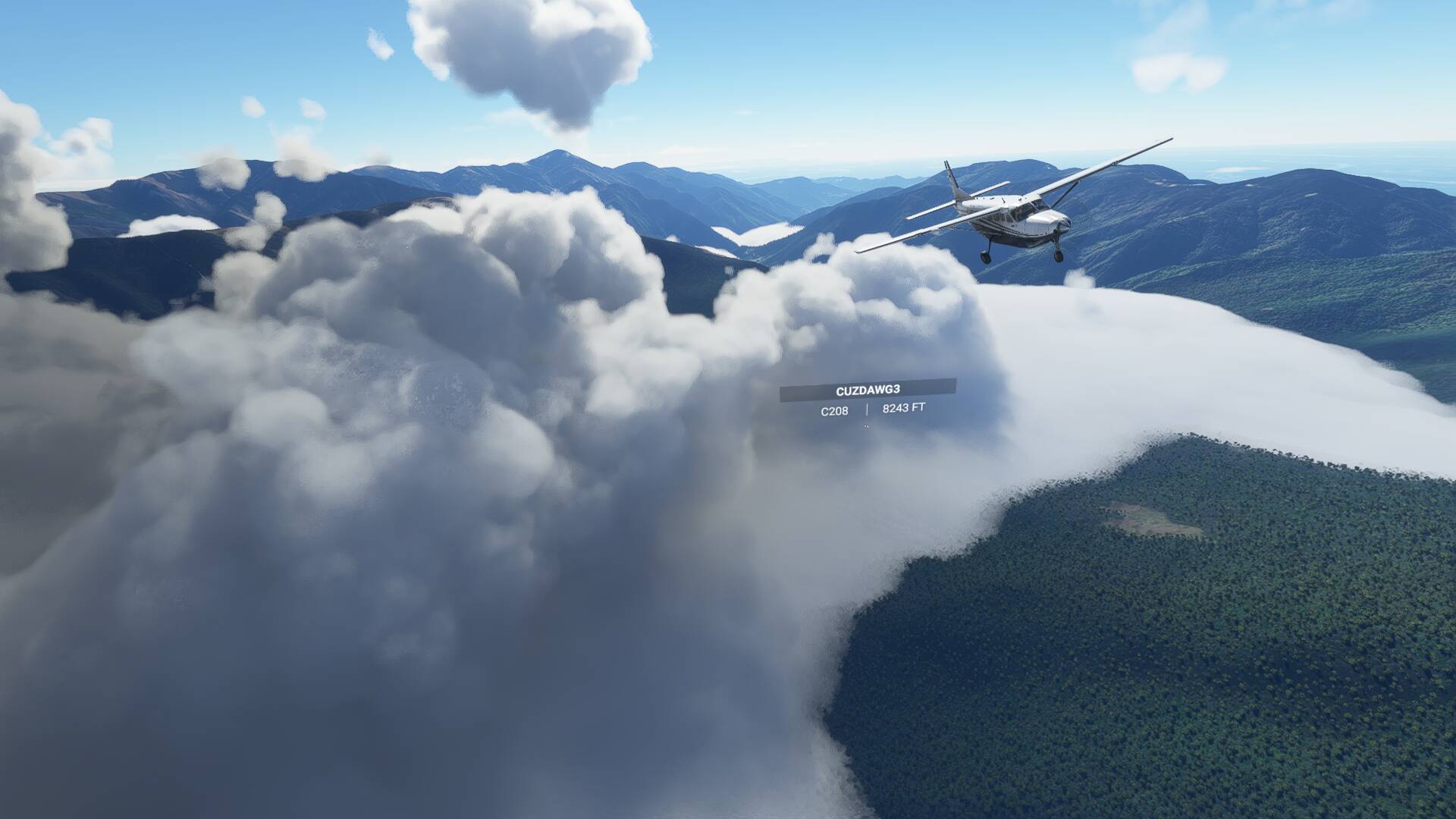
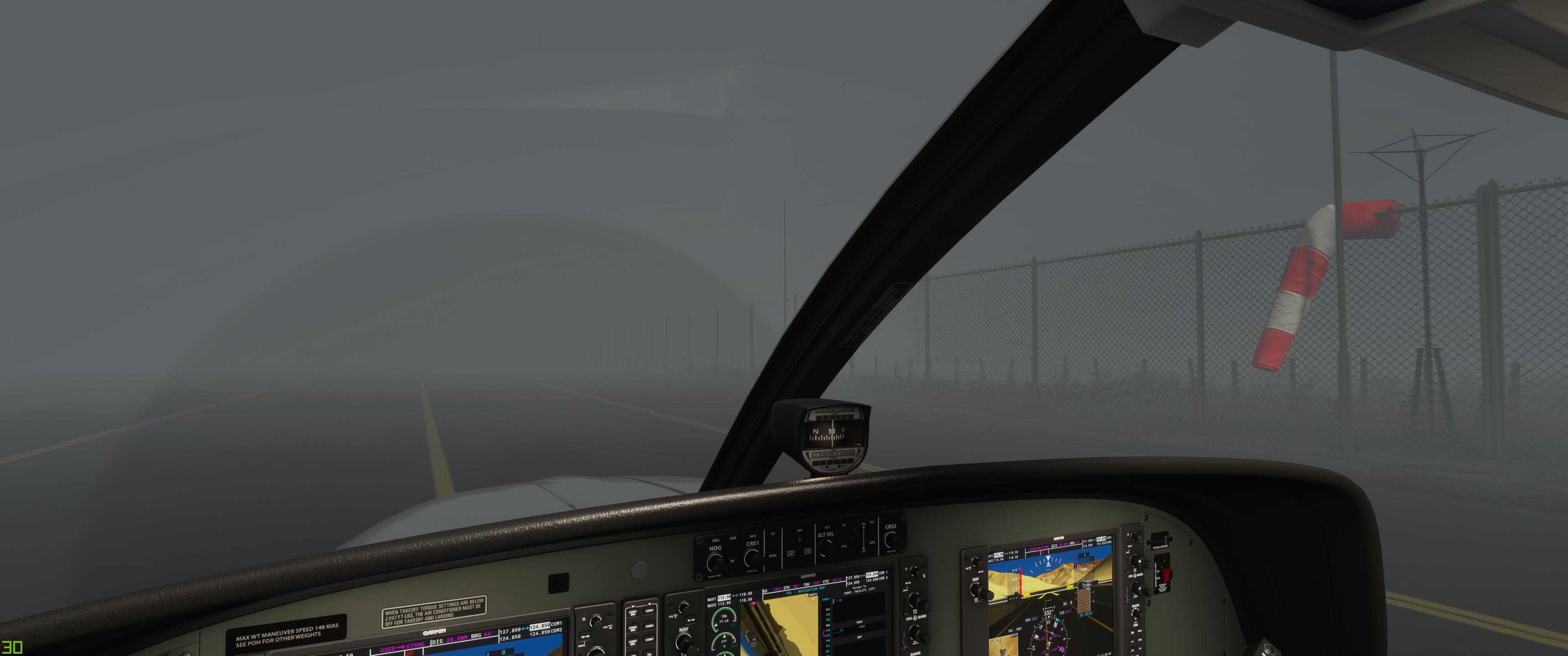
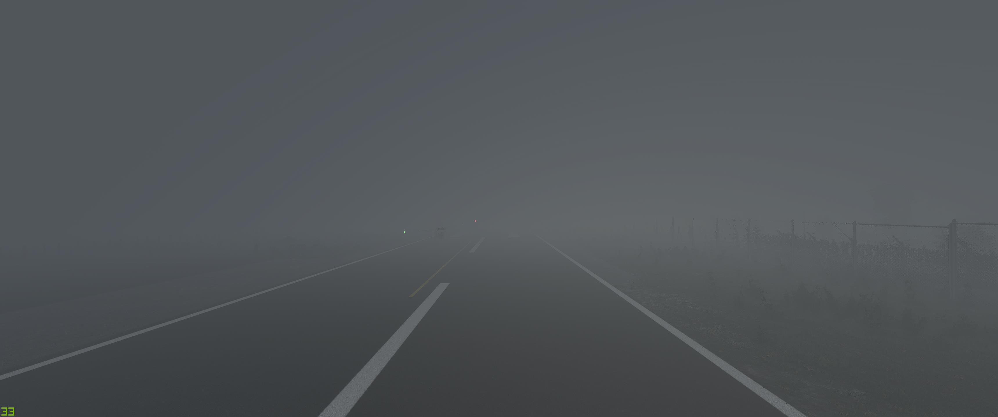
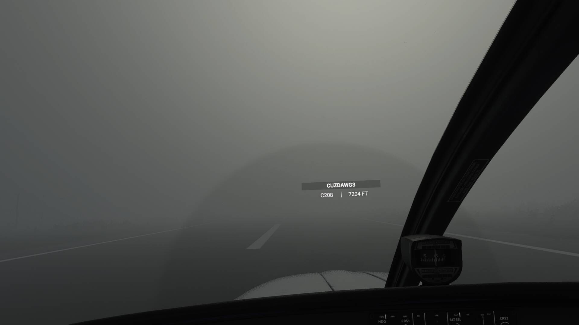
In fact, pretty much all of Bhutan seemed to be completely socked in. But strangely, the OAT was well above freezing (never know what you’ll get with Live Weather), so we just flew through it.

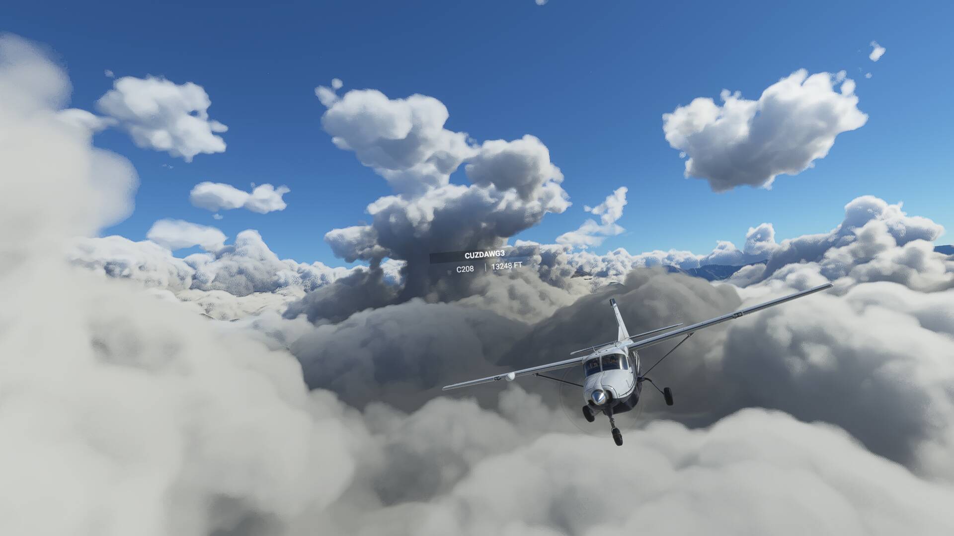
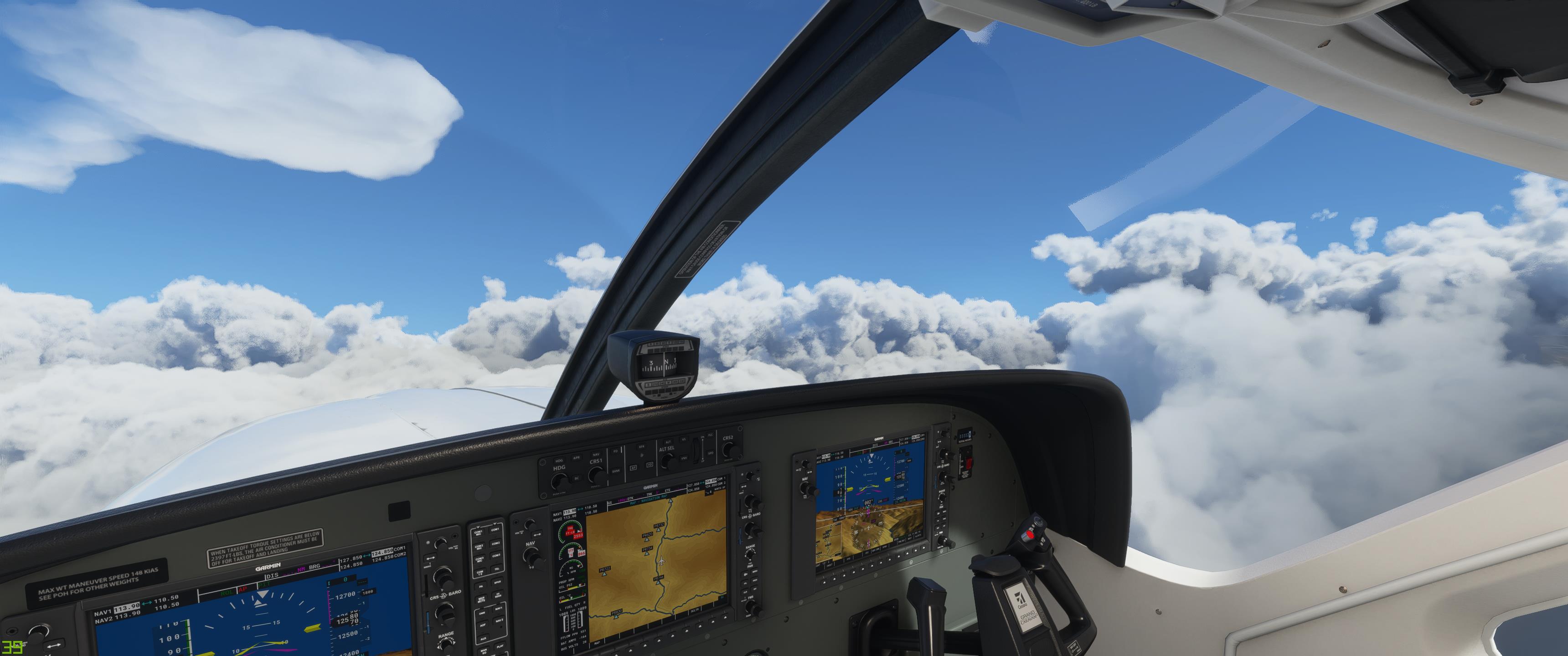
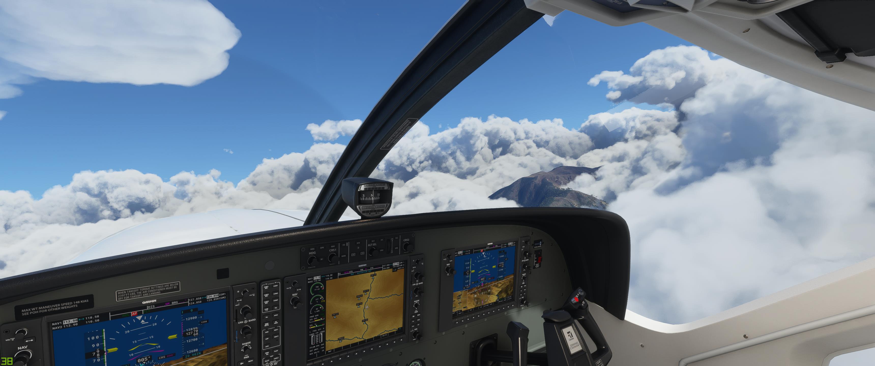
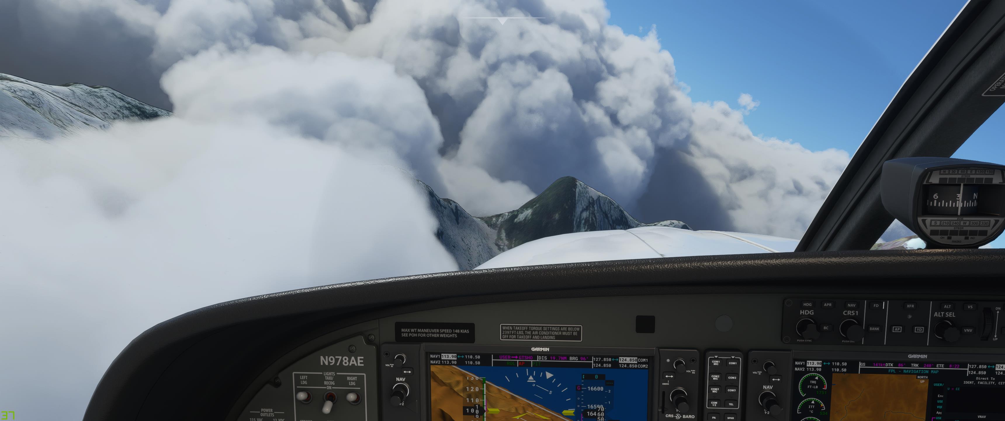
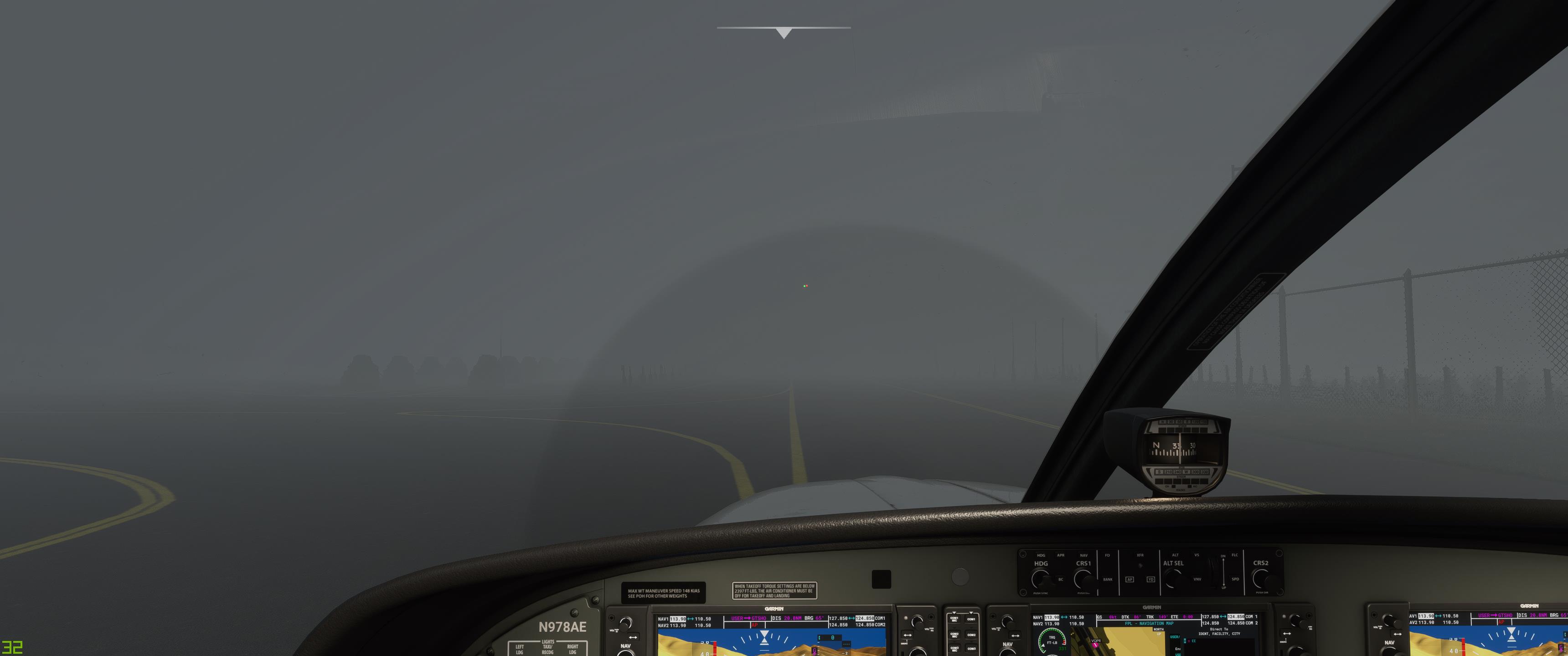
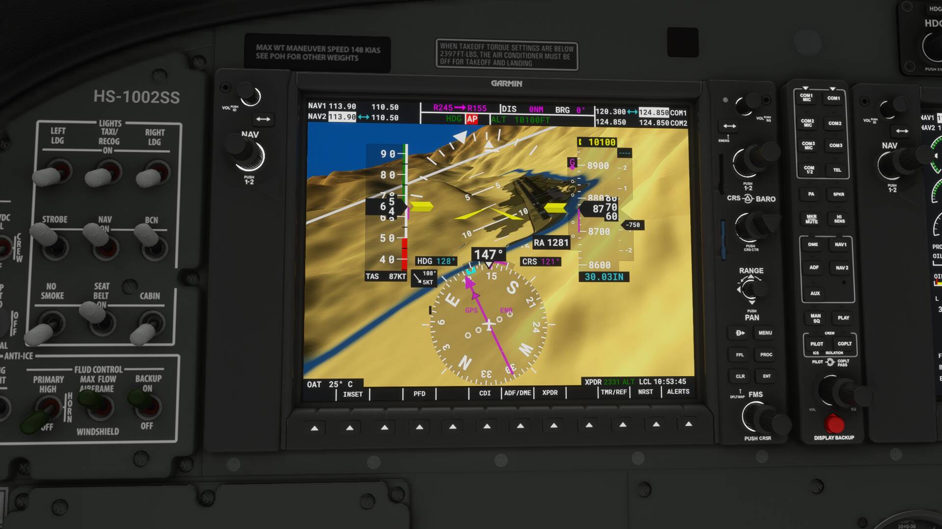
I didn’t have the actual approach plate so had no idea what altitudes I needed at the many waypoints, just guestimated with synthetic vision. This particular approach brings you in a big semi-circle over all the mountain peaks west and north of Paro, overflies Paro itself, then does a hairpin turn back to land. Looks like something I’d have designed :wink: Didn’t get to enjoy the scenery, however, due to all the cumulo-granitus.

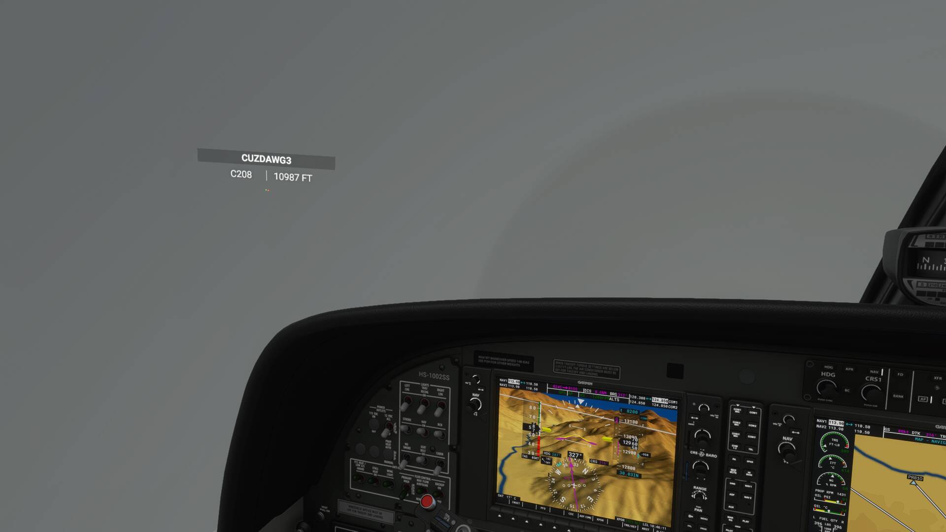
Anyway, Cuzdawg3 did the approach pretty much spot on and landed on the 1st attempt. I, however, was too cautious in my descent so was still a couple thousand feet above the threshold. Thus, I did an improvised missed approach, flying up the valley some more, then turning around and coming back. All this, of course, was illegally using nothing but synthetic vision right down to the flare :wink:


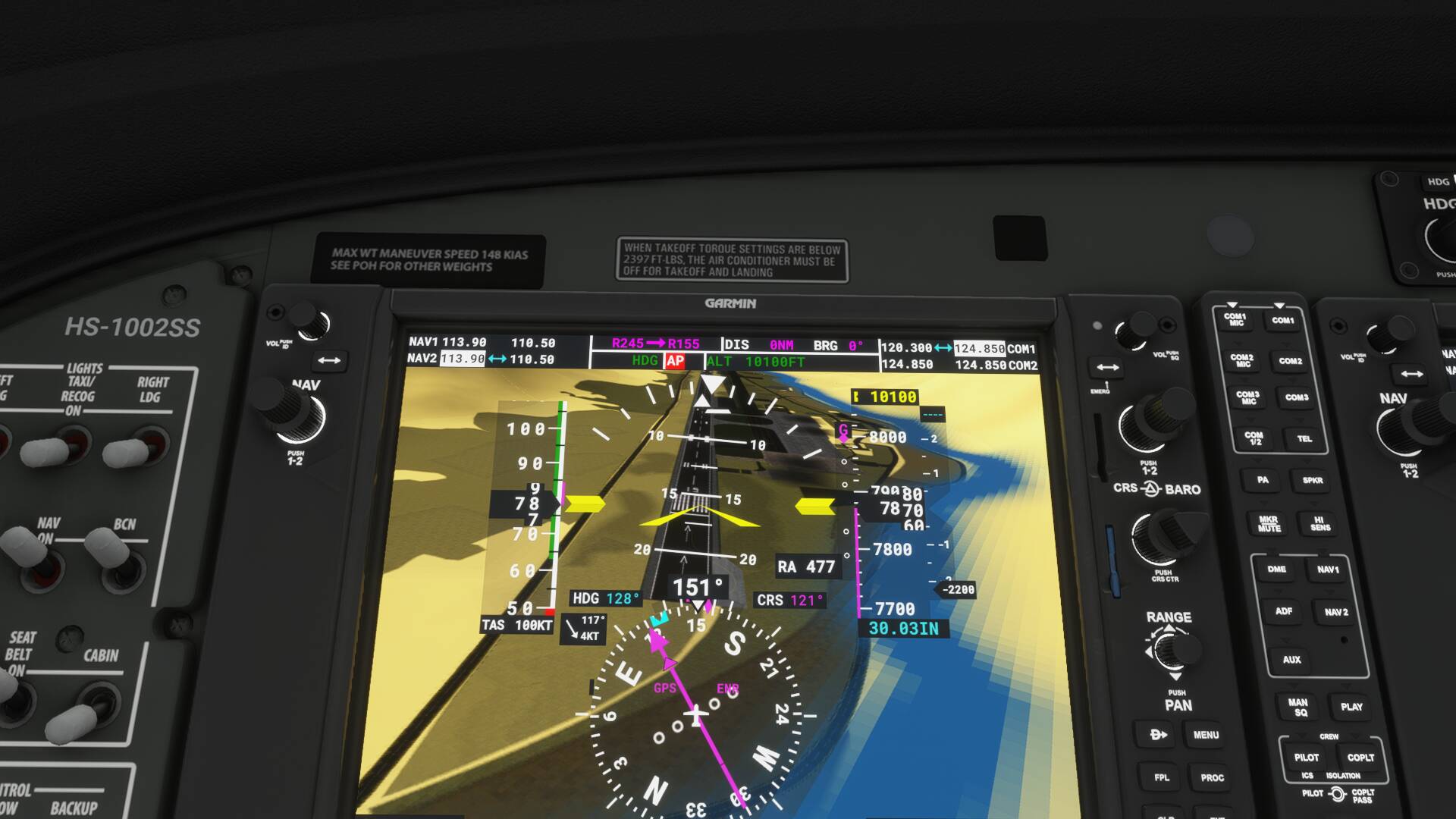
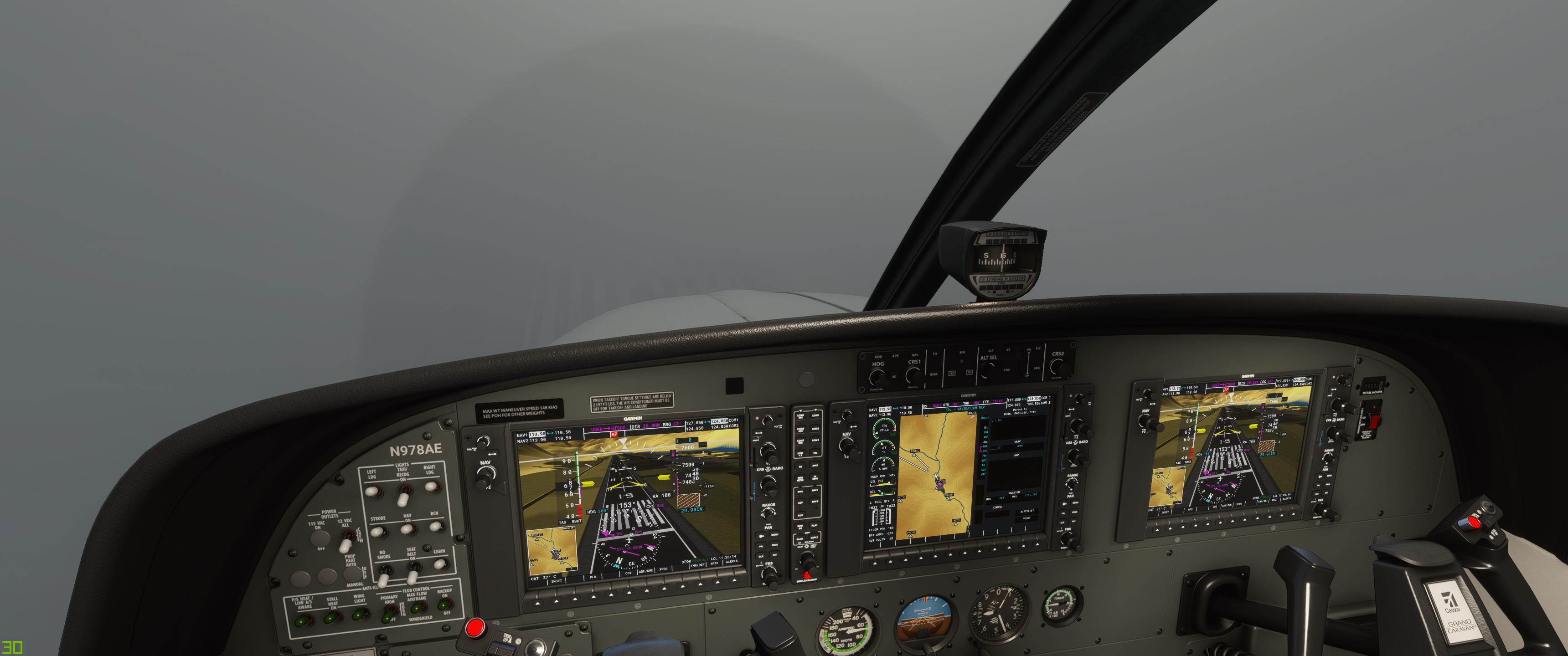
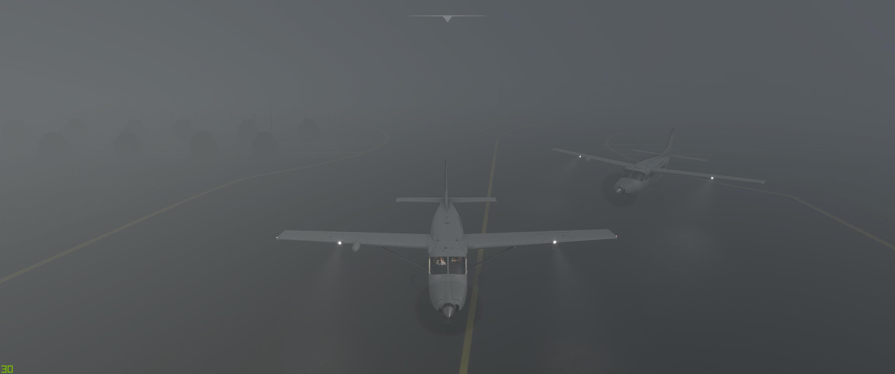
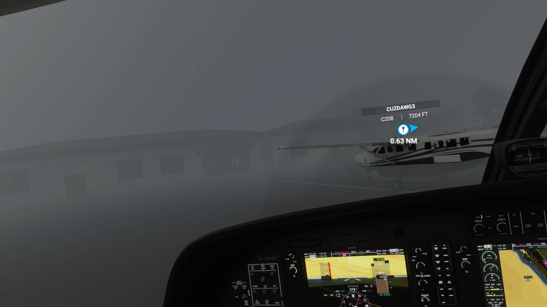
Then I felt the wheels touch and looked out the window to see this:

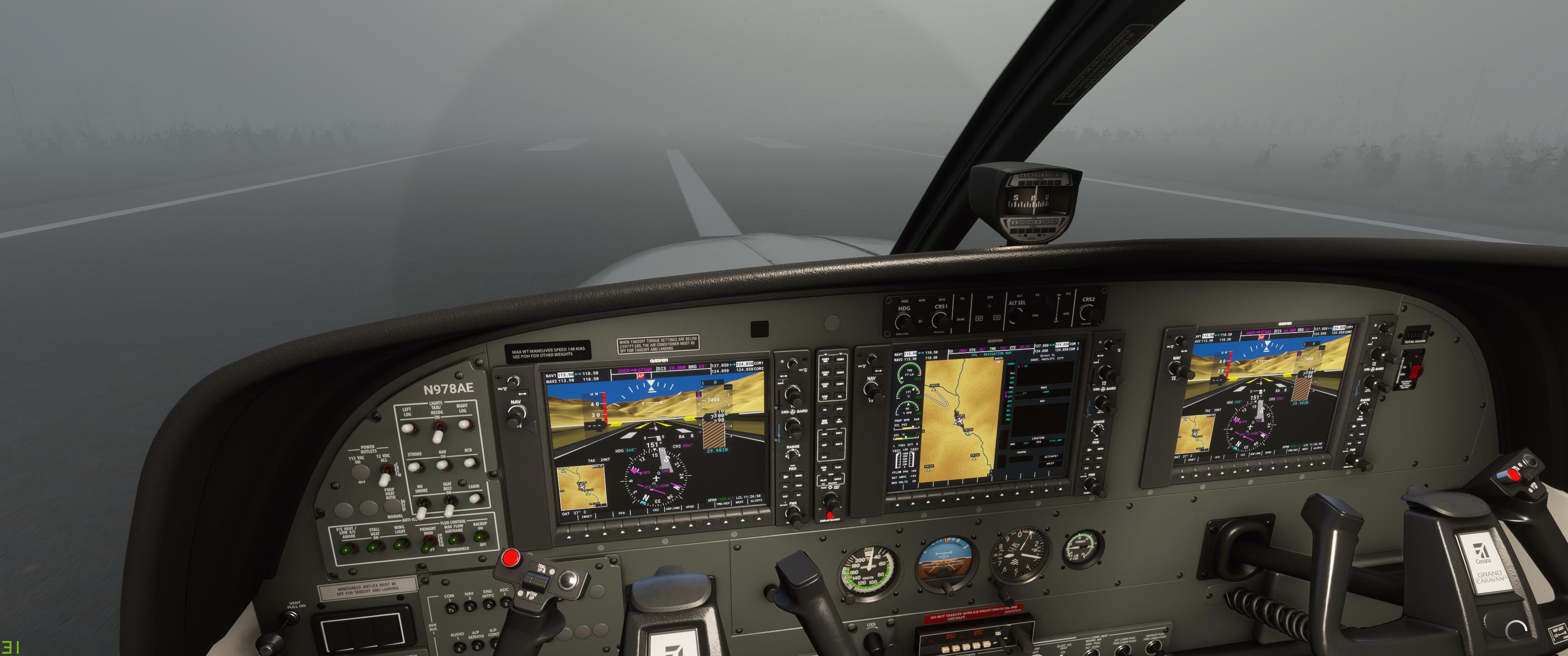
So I guess it worked well enough. But buildings don’t show up so well on synthetic vision so we nearly taxied into the terminal :slight_smile:

Anyway, it seems Paro is totally doable with zero visibility and zero ceiling. Maybe they should modify the landing challenge to suit? :smiley:

6 Likes

Woowoo! Time to add my pics (finally!) to this day of antics. It was cool to be able to “join in flight” where @OrigBullethead was from the map. I hadn’t done that before. It was a bit nerve racking appearing mid flight. . .in clouds. . .with no flight plan. . .well below MSA. This is where I started:

Egads! Better climb! Thank goodness for synth vision giving me a chance. :smiley:

I climbed like my e-life depended on it. . .and started looking for the BH.

Hmmmm. . .not in sight.


Maybe if I bank a little. . .OH MY a "Cumulo-Granitus!! (As BH so eloquently puts it.)

I kept looking, but given that there’s no TCAS on this truck of the sky, I had to cheat and turn on magic name plates. Ah! There he is in that towering cumulus along with some other daredevil @EINRIZZLLE.

I realized I was getting light headed. Maybe that’s why I had a smile on my face while diving at these peaks peeking out from the cloud tops.

Somehow I managed to load in the same RNAV 15Z (or X?) that BH was on, and decided to just (il)legally follow the synth vision and magenta lines to the runway. . .which was totally visible from the cockpit. See? It’s right there on the PFD.

Even the numbers are visible!


As is the centerline! :rofl:

. . .but not much else.

Amazingly, I could see BH as he was setting up for his totally legal, completely not IFR approach:

I decided to drone out and see “from the other side”:

You got this, chief!

. . .But don’t bump my plane!

:laughing:

2 Likes

You definitely won that round. Started from a harder position by far and did a better landing :slight_smile:

There WERE some rivers in the area (and Paro itself is right beside one), so I guess it was “IFR” in that sense, although I certainly could see them well enough to follow them.

Be thinking of something within the same realm of craziness to do in a couple of days. It’s almost that time again.

Oh, and we should perhaps relate our tales of Stupa stupidity, or the funeral tribute to the Arecibo radio telescope, or the rainy day in Okinawa?