hello everyone,
in every world discovery video you release, there are amazing places with beautiful ocean water and great looking water masks, yet in my sim they do not look like that at all. Do you guys plan on giving us those places that are evidently ready for us to have? It is annoying to see that you keep showing us a world that we don’t have access to. I know I complain a lot about the water masks, but please at least give us the locations on the videos.
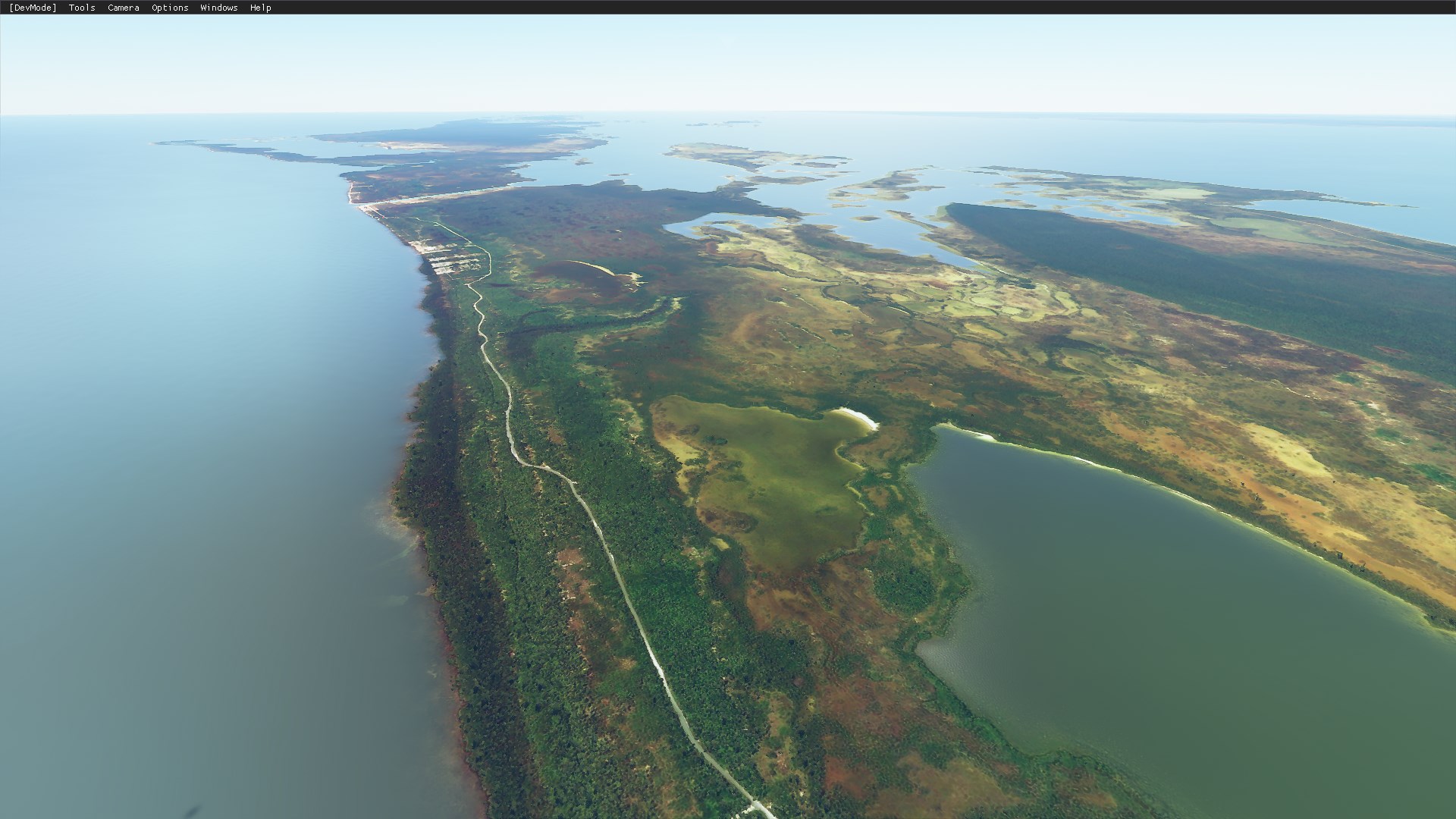
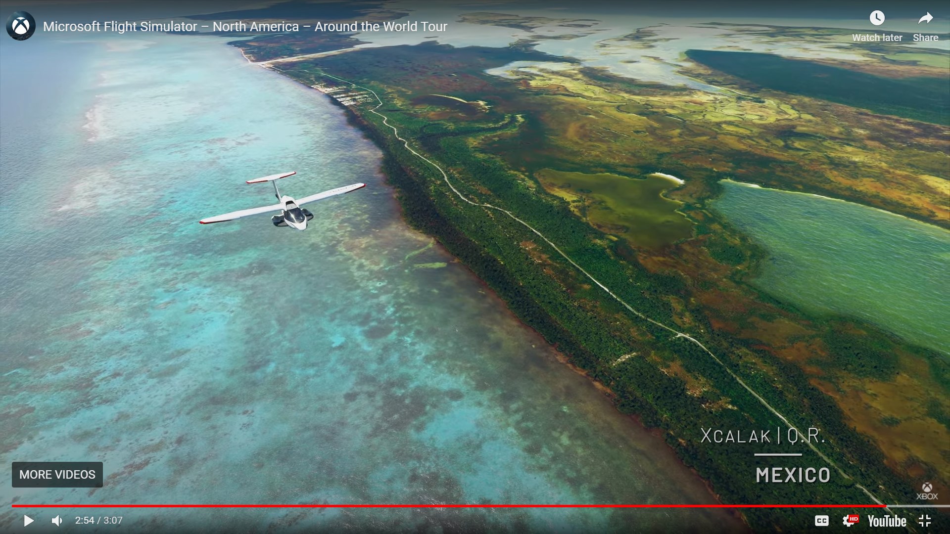
this is a pic from the video vs a pic in my sim
7 Likes
I believe the response to this was that the environment team find neat places to feature, fix the environment up (IE water masking where appropriate, foliage, etc) and include that within the videos - this also becomes part of the live release, however only when environment updates are published. You’ll likely see this area updated soon, perhaps even come next patch day - but this will be included eventually 
4 Likes
Judging by the video with Xcalak, MX…It looks like the world/ region updates will hopefully have more detailed shoreline/ water masking included. So lets see what the America update brings next week!
I also am noticing that the water looks more vibrant and reflective in the America update , so hopefuly they will improve the overall water texture.
No, they don’t. Given the number of times this has been brought up in the forums, and that scenery like this has been advertised for months and is still absent in the simulator, it’s apparent that:
- This is “photoshopped” marketing and not representative of the actual gameplay
- They’re either not reading these posts, or they’re simply ignoring them
5 Likes
The update next week is the US update? Great, I didn’t know that. I thought they were only updating one region per quarter. Is it per month?
There is no world update next week, world updates are planned to be released every 3 months. Why they still show these pictures with nice shorelines is beyond me, they put it in the game to be removed after the screenhot/movie is made? Come on now, that’s just ridiculous.
1 Like
They didn’t put in or add anything to the game. The Marketing team making these trailers simply has the default water masking and water processing turned off so that all of the pre-existing Bing imagery is exposed. That’s why I say these trailers are “photoshopped” and not representative of the actual game. The trailers make it look like they’ve created watermasks for these areas. But instead they’re just disabling parts of the simulator in order to get prettier screenshots. They’re supposed to actually go back and create water masks to include these areas in the version of the game we have. They apparently haven’t gotten around to it. Or, more cynically, the Marketing team doesn’t care that the version they’re using to create their trailers is not the version we have.
3 Likes
If that is the case, why not give us the option to do the same then? Like the road,grass,sand overlay’s, they are textures but they hide them from being edited.
It’s probably because in 95% of cases the default Bing water imagery looks terrible, especially up close. So they have to turn it off. They’re really cherry picking those shots. In some of the shots, they’re even hiding glitches in the Bing imagery using clouds or camera angles.
Hopefully they will improve the water edge ‘effect’ too. To me it looks like the water is raised by 10 meters.
Edit: When seen from a specific angle. The 180 deg view looks fine.
Maybe, but I dont understand why they know exactly where the shorelines are, they use wake overlay textures and the water overlay itself, so it would be “easy” to use the wake data minus 40 meter for transparency. They are okay with ships and other stuff on the map data that is below the water, so it can’t be worse then that.
Not sure I follow here. They know where the shoreline is, but they apparently have no information on the depth of the water. This is a compromise solution. They’re blending the flat aerial imagery with a flat water texture in order to give a little bit of the shallow water detail, but hide most of the aerial water imagery glitches. Maybe they didn’t have to crop it so tight.
The long term solution is to either implement volumetric water with a seafloor elevation mesh, or have the AI find the glitches in the aerial water imagery and clean them up, removing seams and clouds, replacing boats with 3D models, and preserving docks, marinas and sandbars.
1 Like
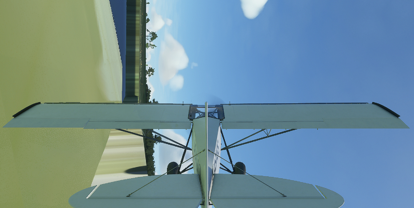
There seems to be some see thru parts by default. At Cape Town harbour, you see the ships from the satellite images, but they are actually underwater (if you look in dev mode). So you see the texture thru the water.
I have been trying to cover it up to place some proper ships, but without a scenery 3d models, this seems impossible.
Edit: Pic (with sun reflection to show it is still water). If that works, why cant other shallow waters? Maybe they just made the shoreline too close to save space? (I assume this is just default stuff and not streamed in any way).
Also just noticed, this does not happen if it face open ocean. Just happens in harbours and other areas that would be logically inside some landmass. Hmmmmm…
I see where there problem is now, just look at the map data from Bing/Google. Both use overlays to hide the poor state of the water. The depth data is already in the game, shores go down and you dont have to show more then a depth of 30 meters probably to make life easier.
I think you can hide that with exclusion polygons and make it a river texture in the editor.
Their elevation mesh might actually stop at the water surface, with no data underneath. I haven’t seen any evidence that there is depth information below the water line, except perhaps in some photogrammetry areas with the photogrammetry mesh and the water surface mesh are separated.
If you actually look underneath the water surface in slew mode, there is nothing under there.
I tried, but no go 
The only way I see is to make a scenery texture that would be under the water, but now that I think about it, the aerial photography was still showing when that happens (note to self, check again).
I think most people want some gradual fading effect on the coast line. Even just fading the textures like in my post above would make it look a lot better than the ‘hard’ line we get now.
Edit: I have seen different LOD’s have completely different ‘ground’ levels. Very noticible at Victoria Falls. At best quality, the river is in the gorge like it should be, but at any other LOD level, the river ‘floats’ at the same ground level as outside the gorge. I have no idea how that can even be solved, unless by hand.
Yeah, they could extend the blending/fading they’re doing on the coastline. Tweaking this might be a short term fix for some areas. But no matter what distance they pick, short of removing water masking entirely, they’re going to obliterate large reef and shallow areas. So a replacement for water masking is needed eventually.
Do you have a link to this or know where the shots were posted? It would be insightful to see what the simulator is doing. My understanding is that you’re probably just seeing differences in the resolution of the terrain mesh. The river’s water is just painted on top of the mesh. If the mesh is high enough resolution, the water is painted in the bottom of the gorge where it should be, but if the mesh is low res, it’s just going to be on top of a smooth, lumpy surface. That causes problems where the water appears to flow uphill in places, lakes aren’t flat, etc.
There is a part just before the waterfall that does not have a ‘high quality’ LOD and you literally crash into a wall. 
Will get some coords and pics. It is rather funny.