Can I get a map on my iPad?

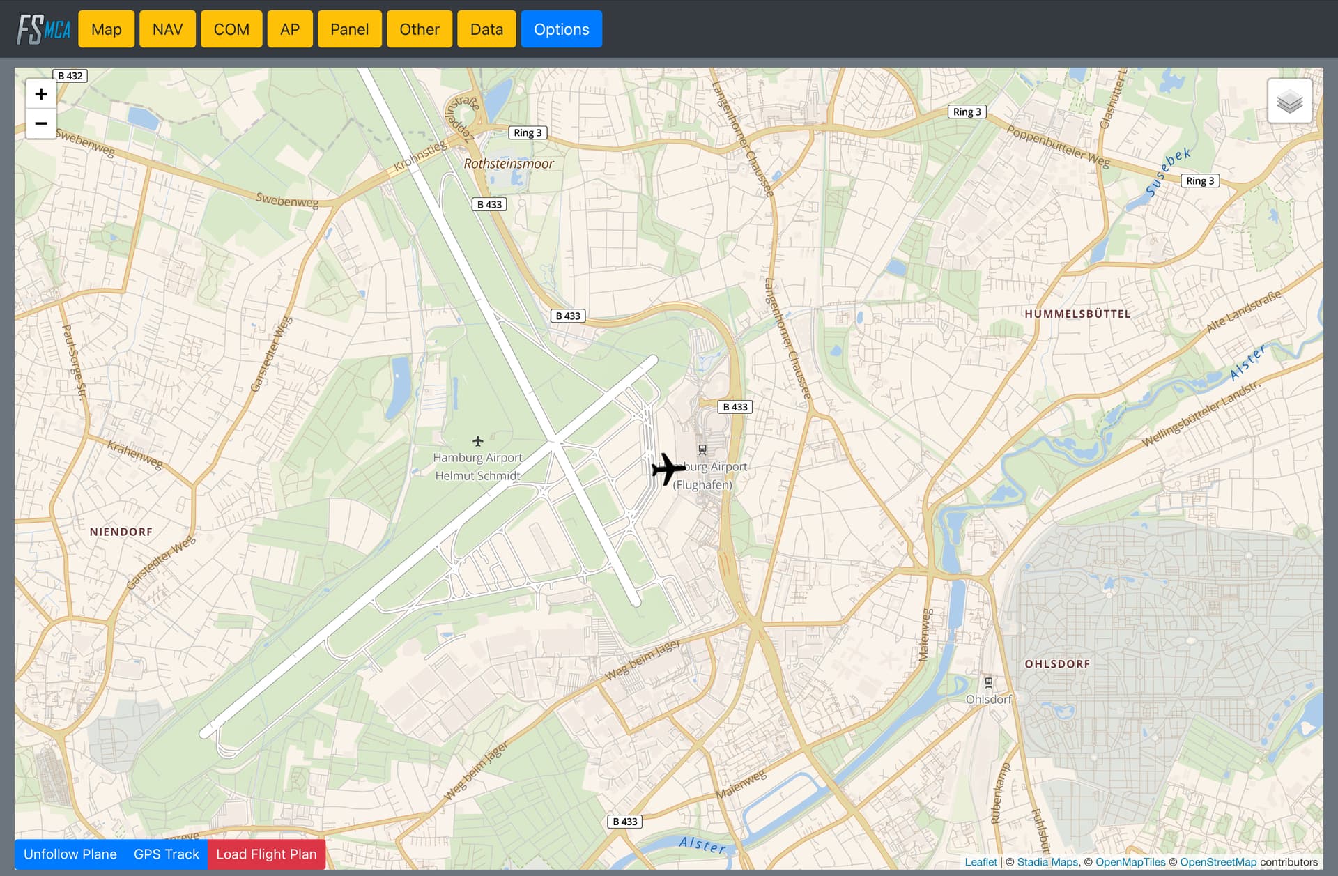
The built-in VFR map doesn’t have enough detail for me. Firstly, is there a way to improve the level of detail so that I can zoom in and out and see road names? If not, is it possible to get my aircraft’s location sent to me on a moving map displayed on my iPad?

I want to explore POIs in some cities. I know that I can set up a flight plan before I start flying with POIs, but I want to be able to explore in detail when I’m just flying around randomly with no flight plan.

1 Like

Have a look here

1 Like

FltPlan Go, Foreflight. Both used by actual pilots in planes. Many threads about this. You can also send LittleNavMap to a web server and then visit the IP via your tablet. Again, many many many threads on this.

Yes. Free „Mobile Companion“ app.

2 Likes

but not on the xbox … sofar!

I don’t know about Xbox. But for pc it is a solid app with various options (information, controls, map, etc.)

I use little navmap and spacedesk on a tablet works great and its a touch screen

Thank you all for the various suggestions. I’ll take a look at each of them.

Do you notice any significant reduction in FPS when using this the Mobile Companion app?

No. I didn’t focus much on it and didn’t notice anything in particular.

1 Like

Moved to #third-party-addon-discussion:tools-utilities

Another one to look at is IGMapsHD, its payware but shows charts for most of the world

1 Like