Caribbean Island Hopping in a Cirrus SR22T
(collecting this thread here and going to cut back on posting it in the What I did Today thread. When its done, I will have a log of the whole tour in one continuous thread)

Started my Island-Hopping Tour of the Caribbean.
Departed from Oka-Locka, FL (after theoretically flying from Fort Meyers)
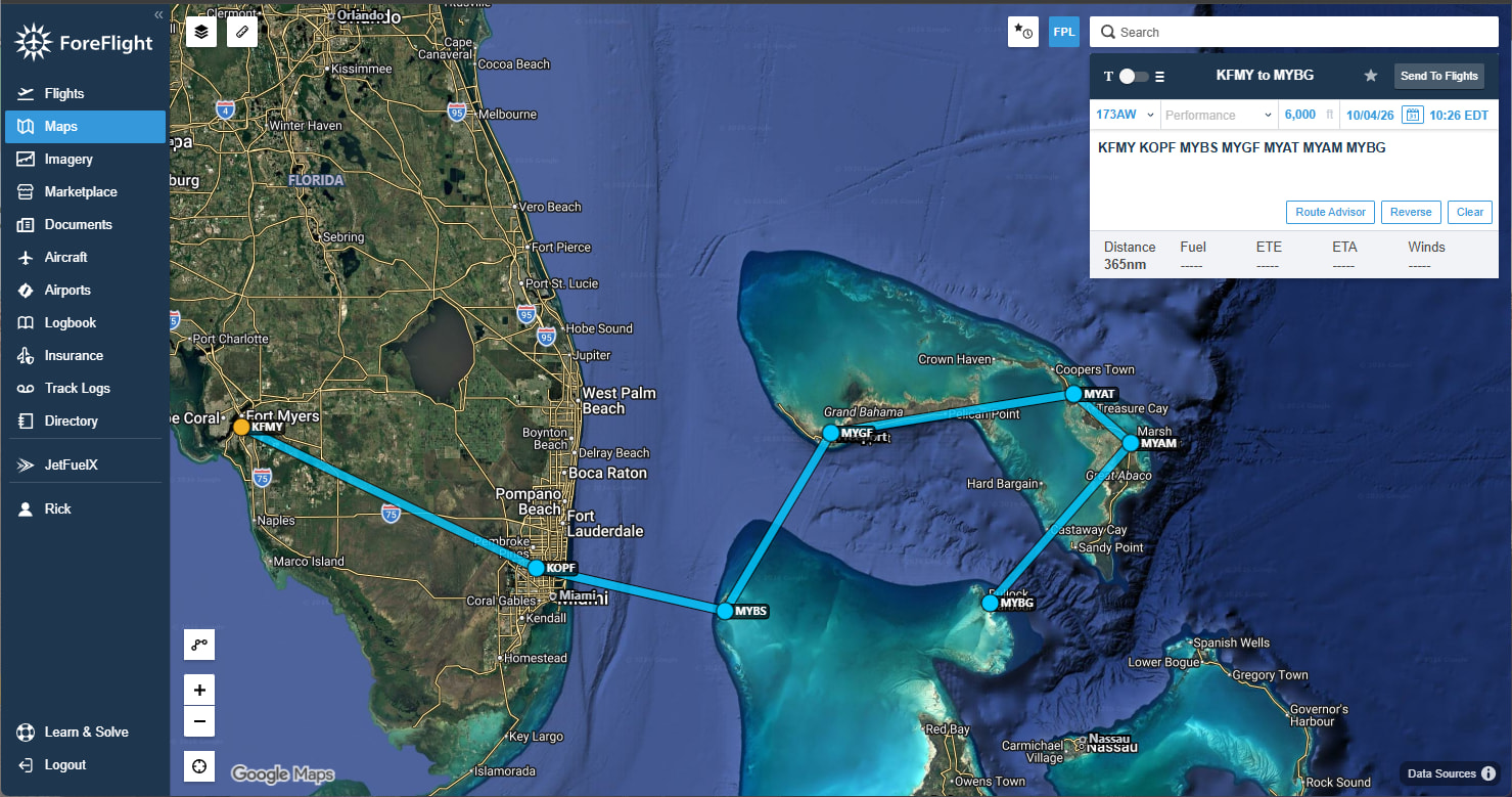
First stop, Bimini:

Racing some storm clouds coming into Grand Bahamas:
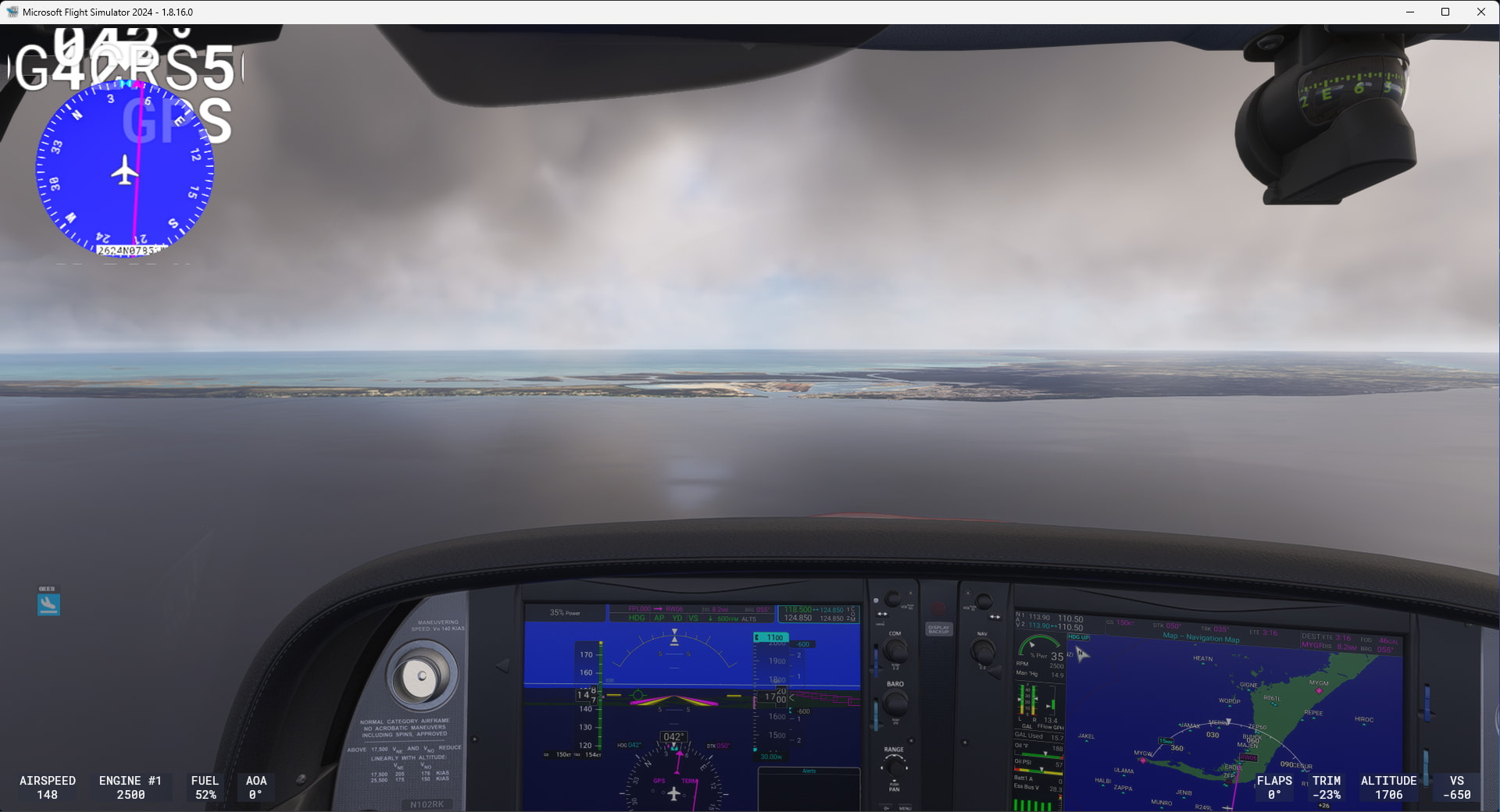
Took a break in Great Harbor Cay, but then continued through the Bahamas, Nassau, Eleuthera, to Cat Island

Arriving and Departing Nassau:
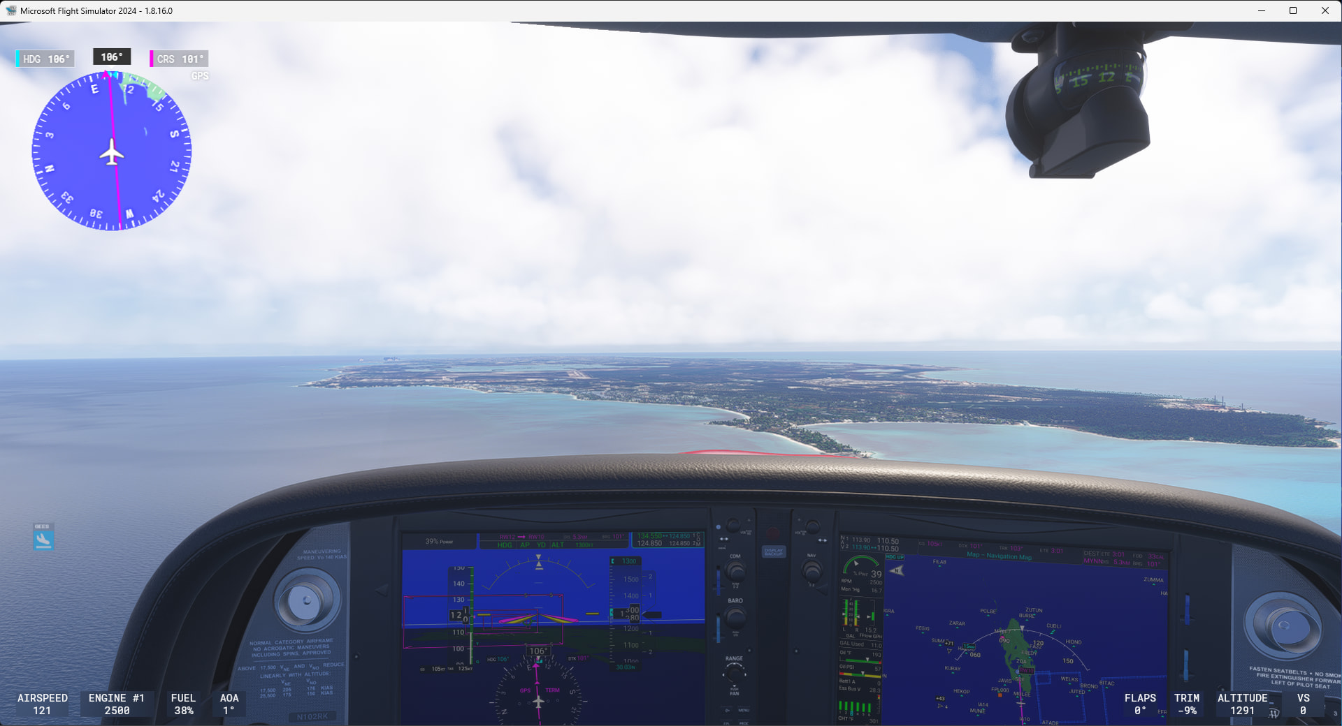
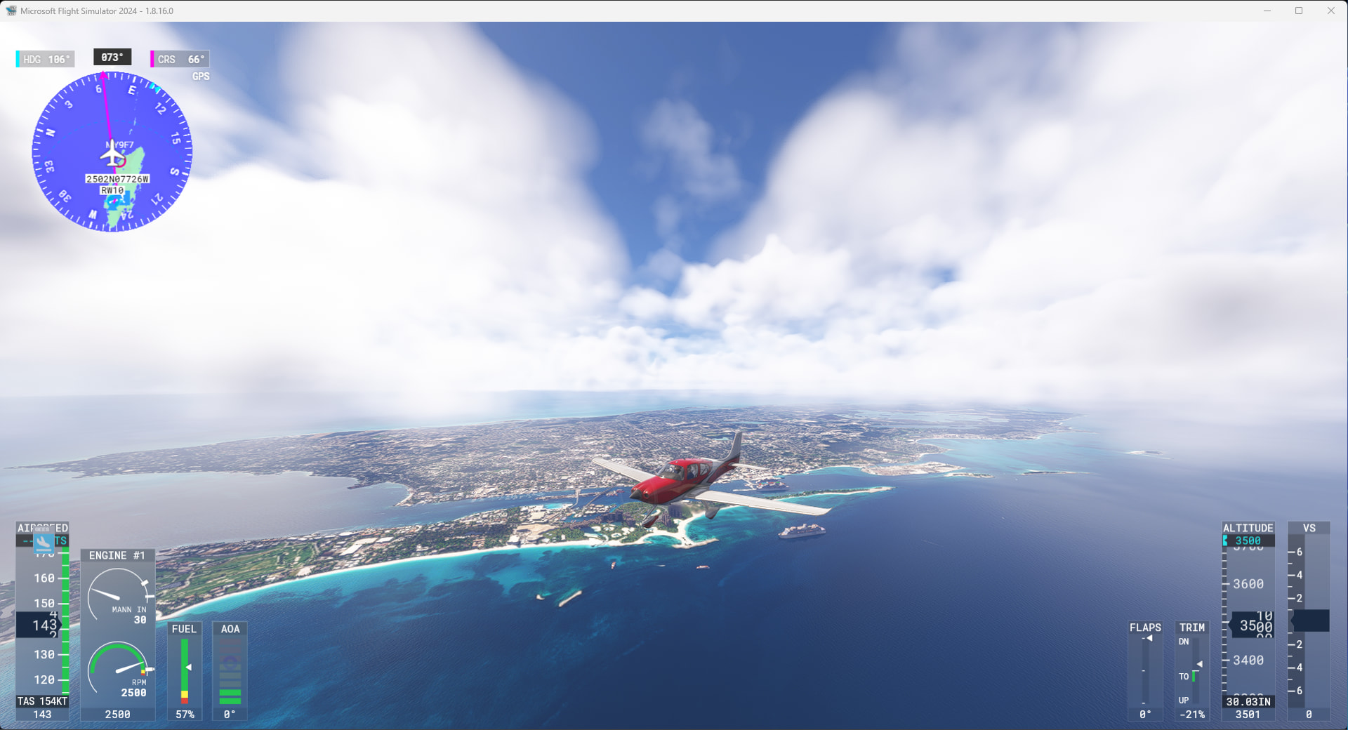
Stopped for today at New Bight, Cat Island (12 of 68):
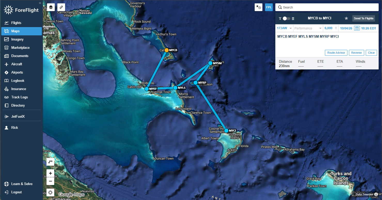
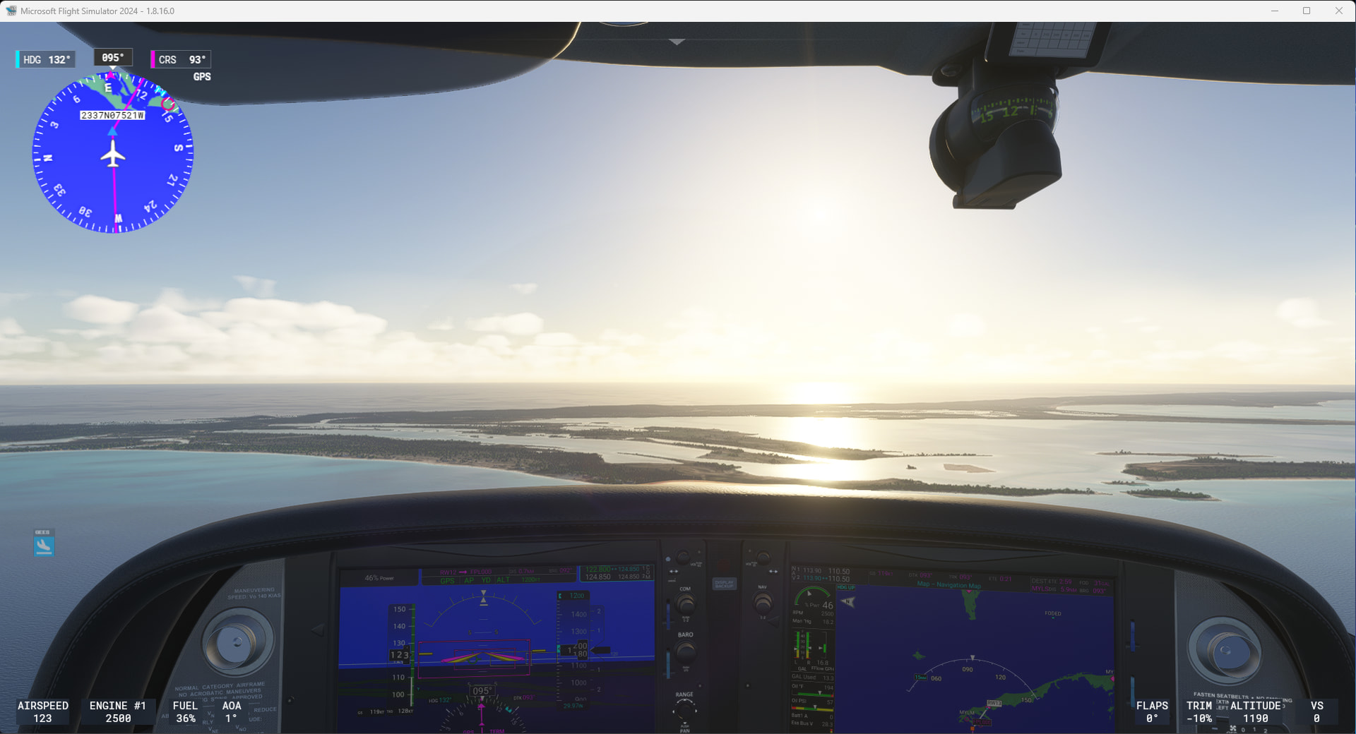
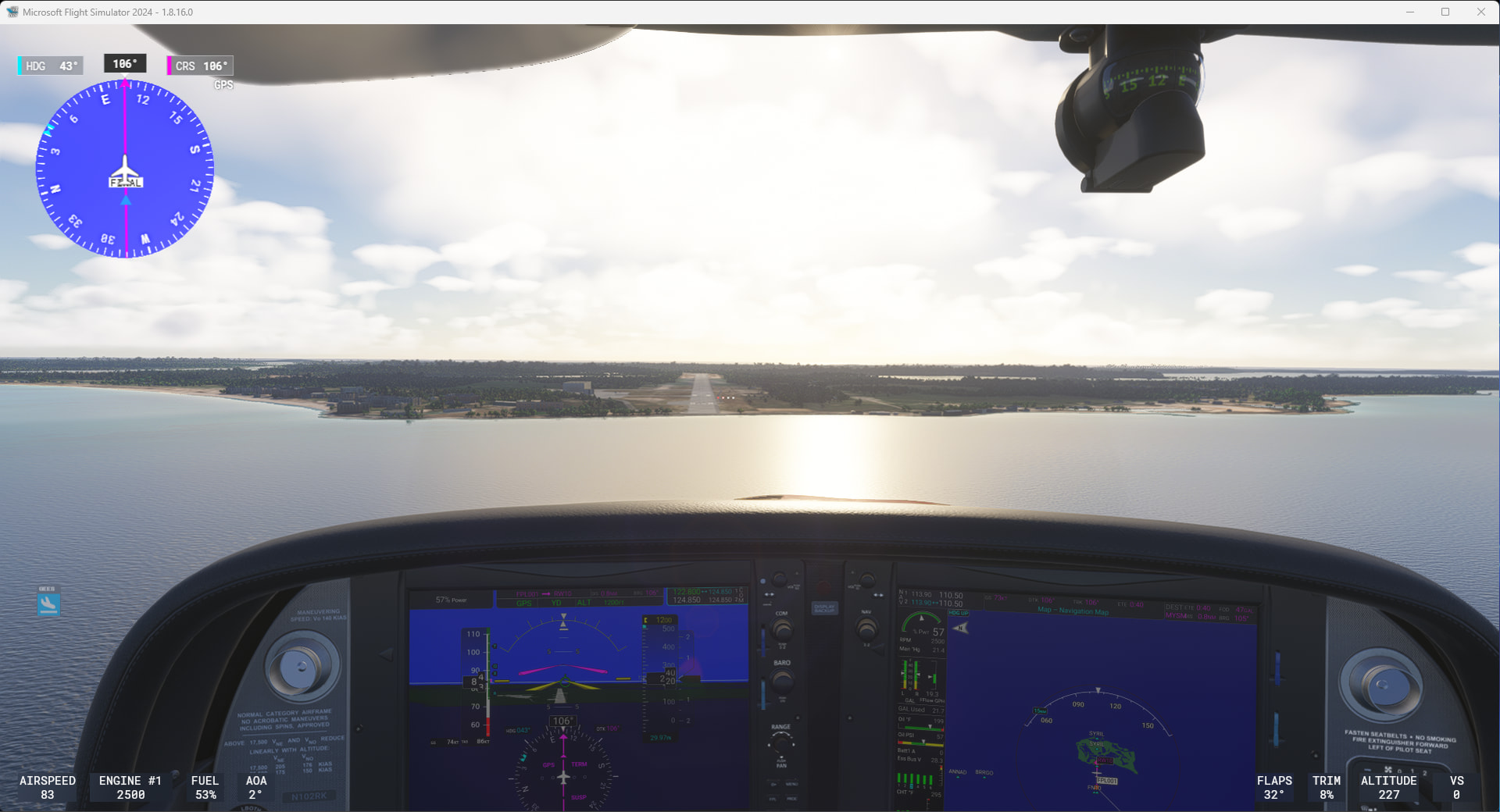
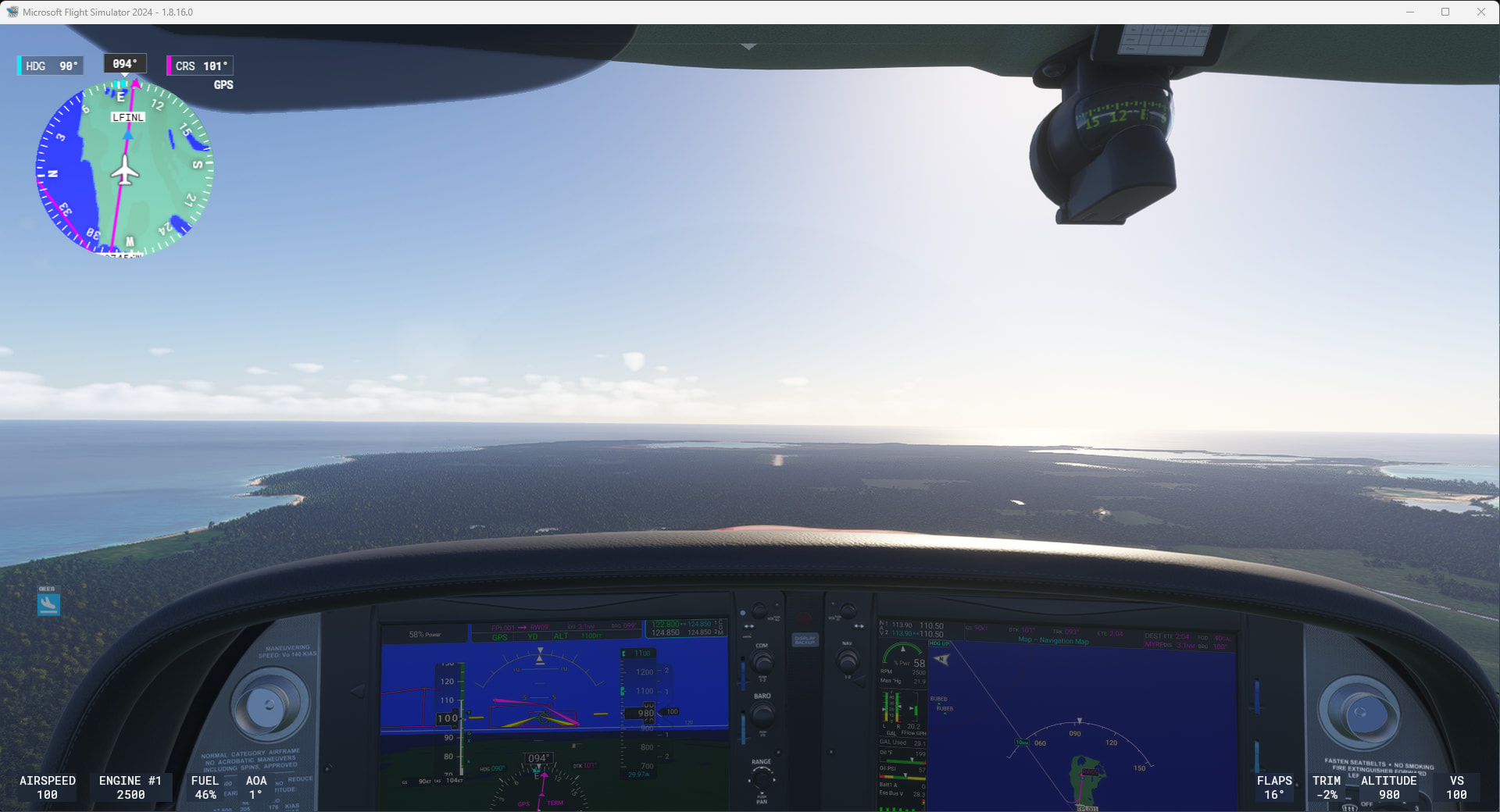

Had some time to kill, so did a couple more hops on my Caribbean tour.
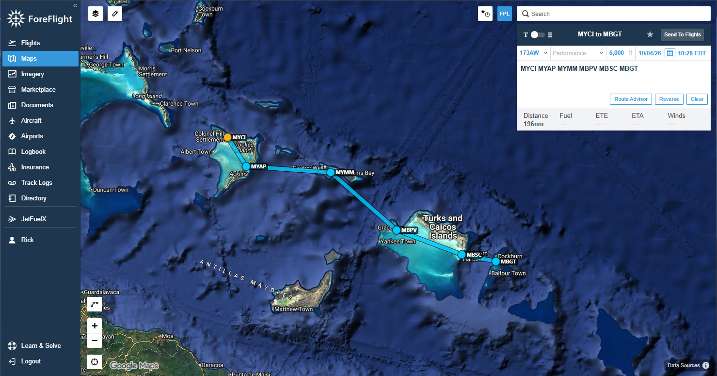
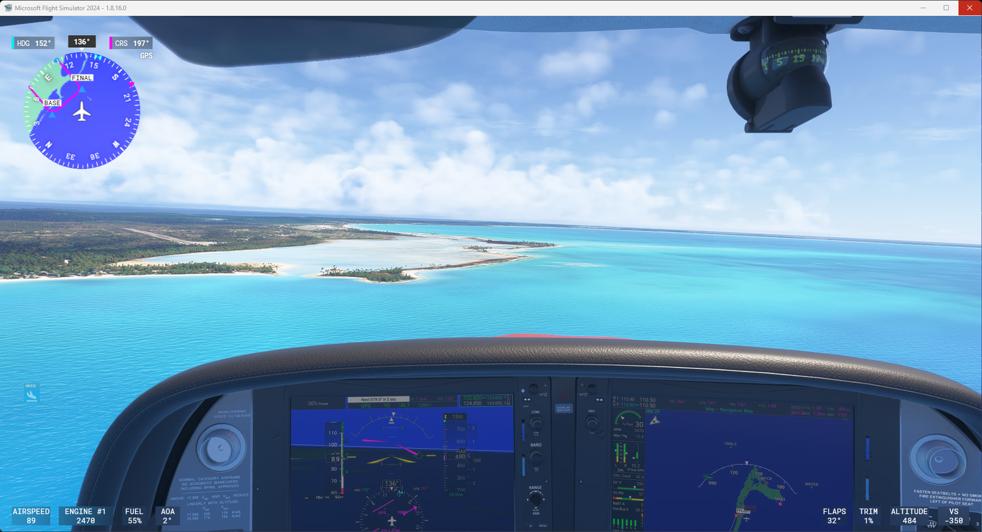
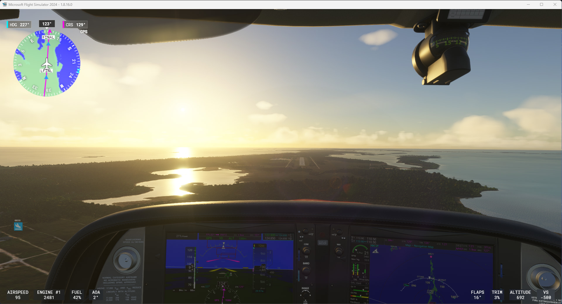
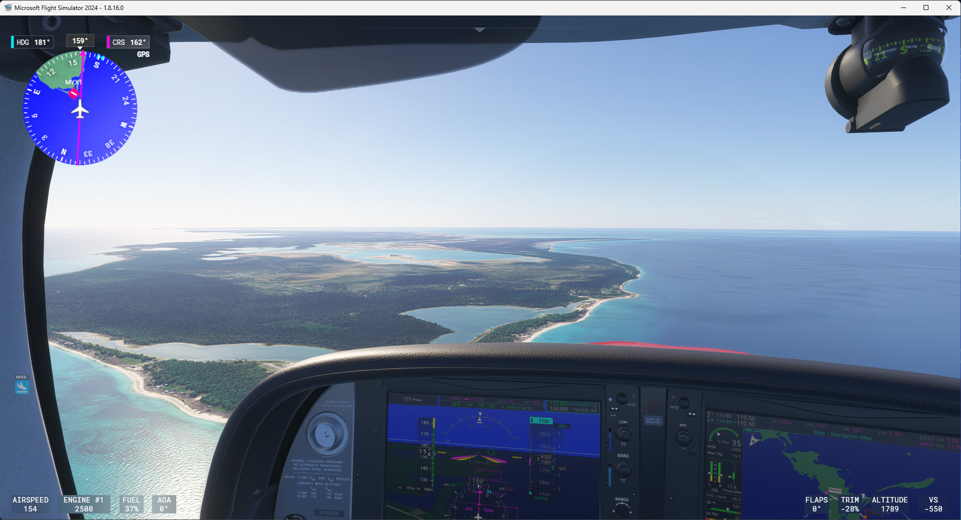
It was starting to get dark going into South Caicos.
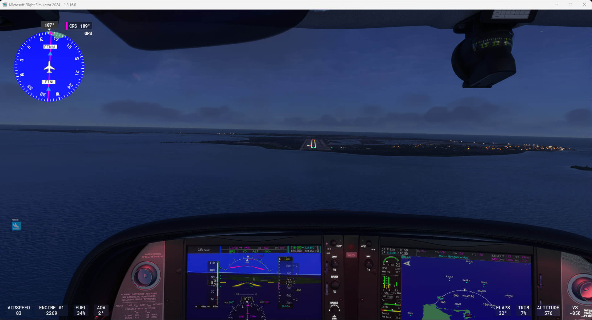
Then it really got dark. It was only 20NM to Grand Turk, but I learned that being surrounded by nothing but darkness all around is too scary. I am never going to fly that far away from land at night in r/l!
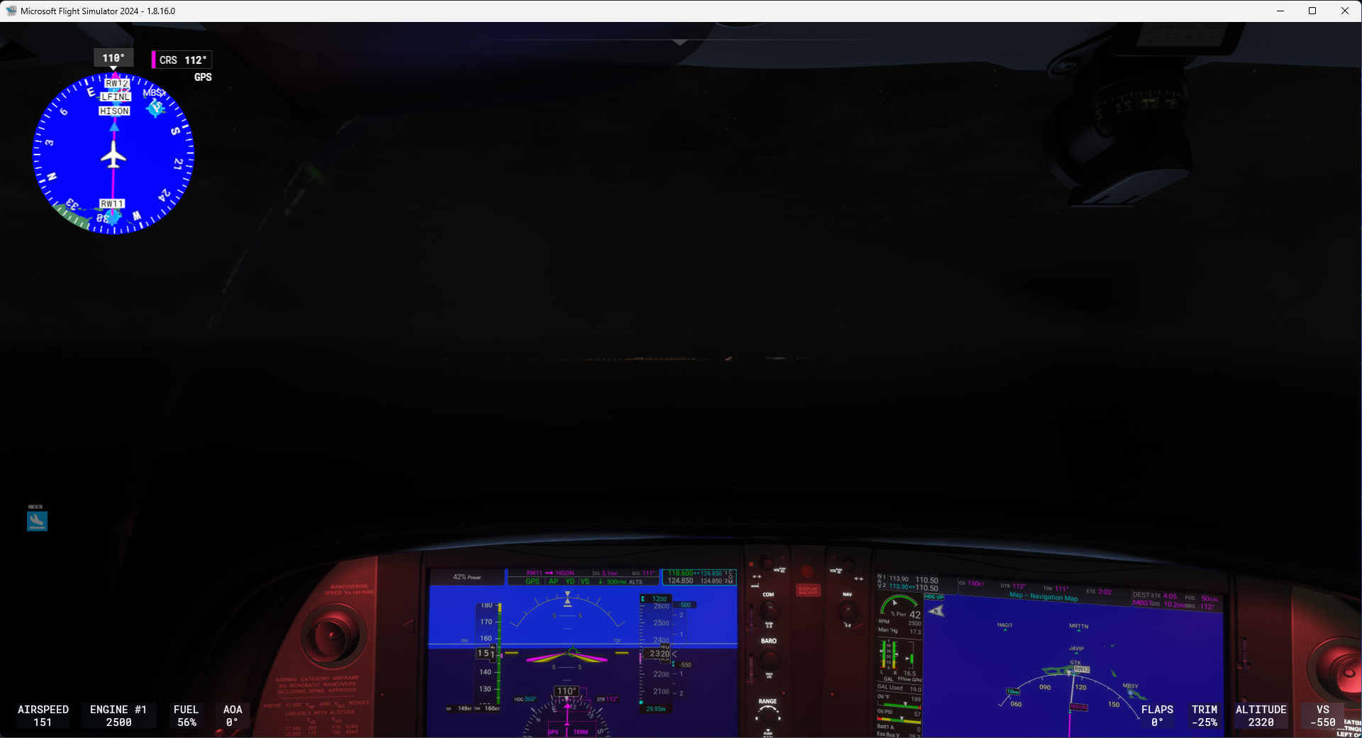
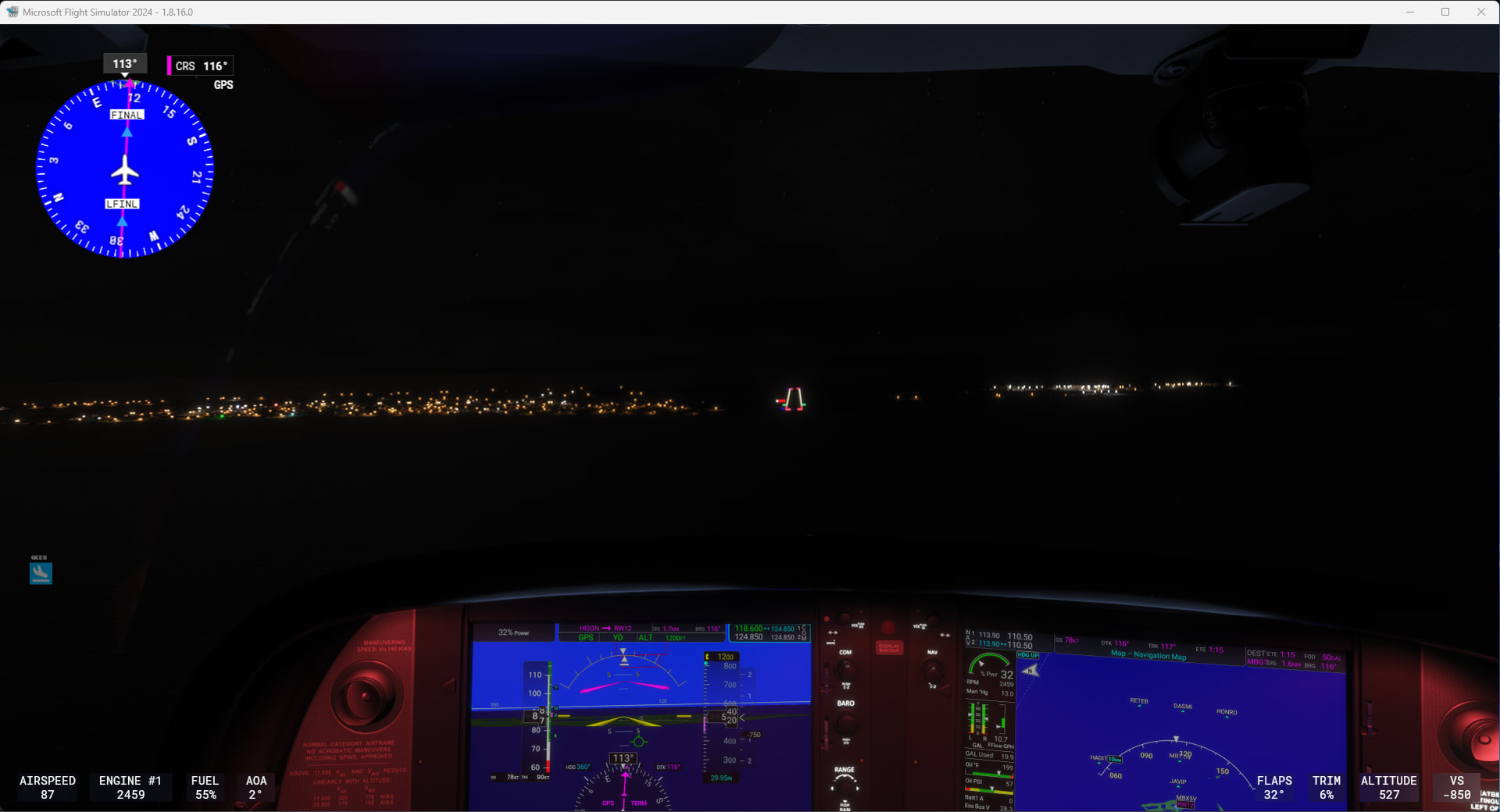
Even just playing around in the sim, it was a real feeling of relief to have land and the runway in sight!
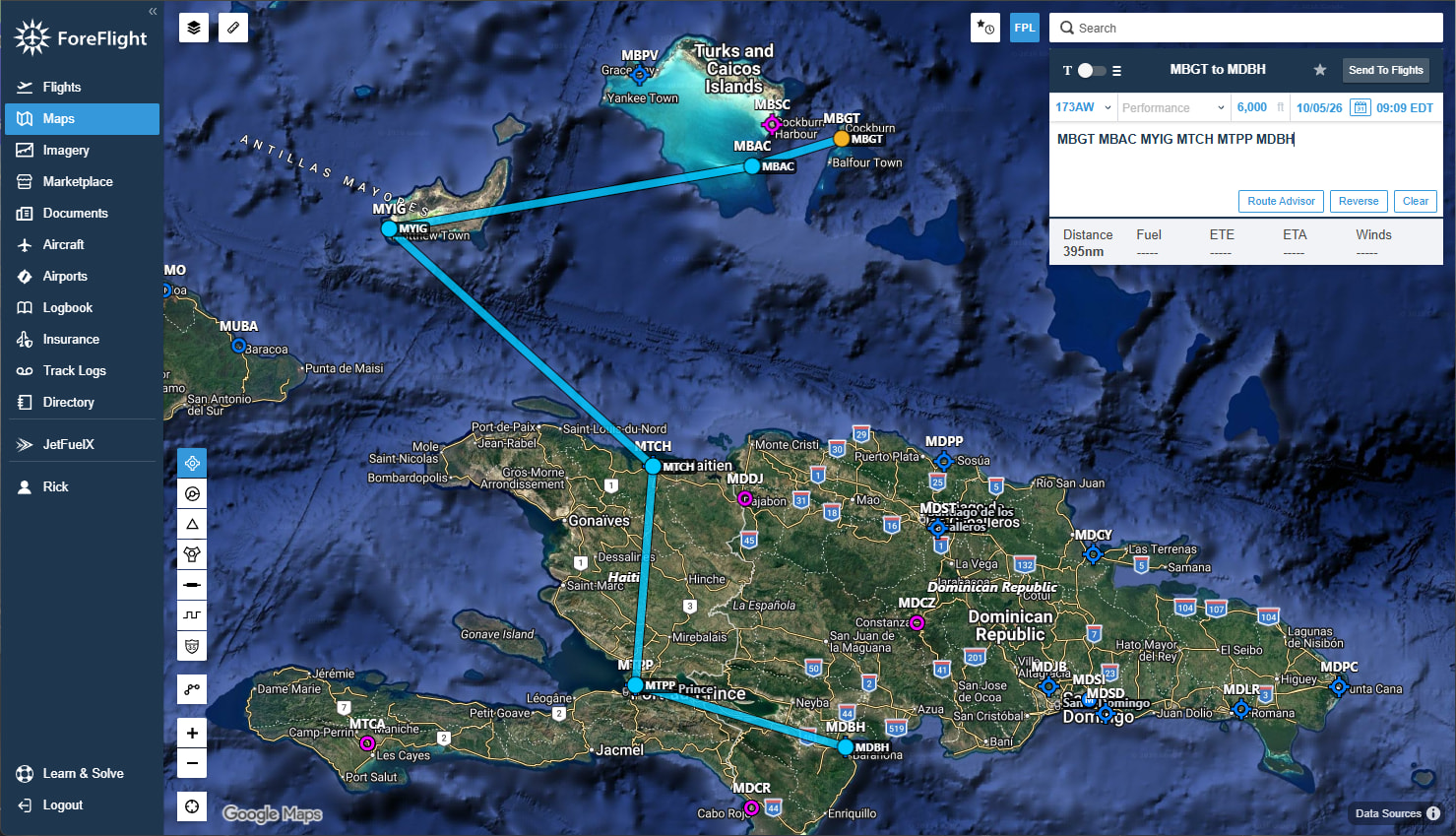
Inagua, Haiti, and into the Dominican Republic
Ambergris Cay International airport is a spit of land that juts out into the sea. Its kind of a large airport on such a small island.
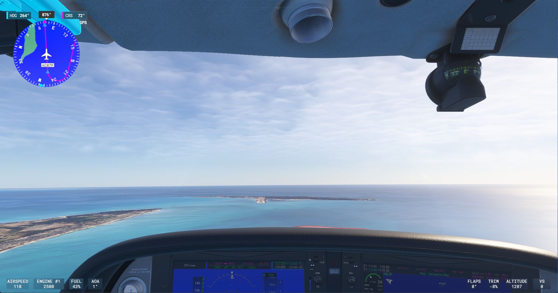
Inagua is a larger island that I flew across its width.
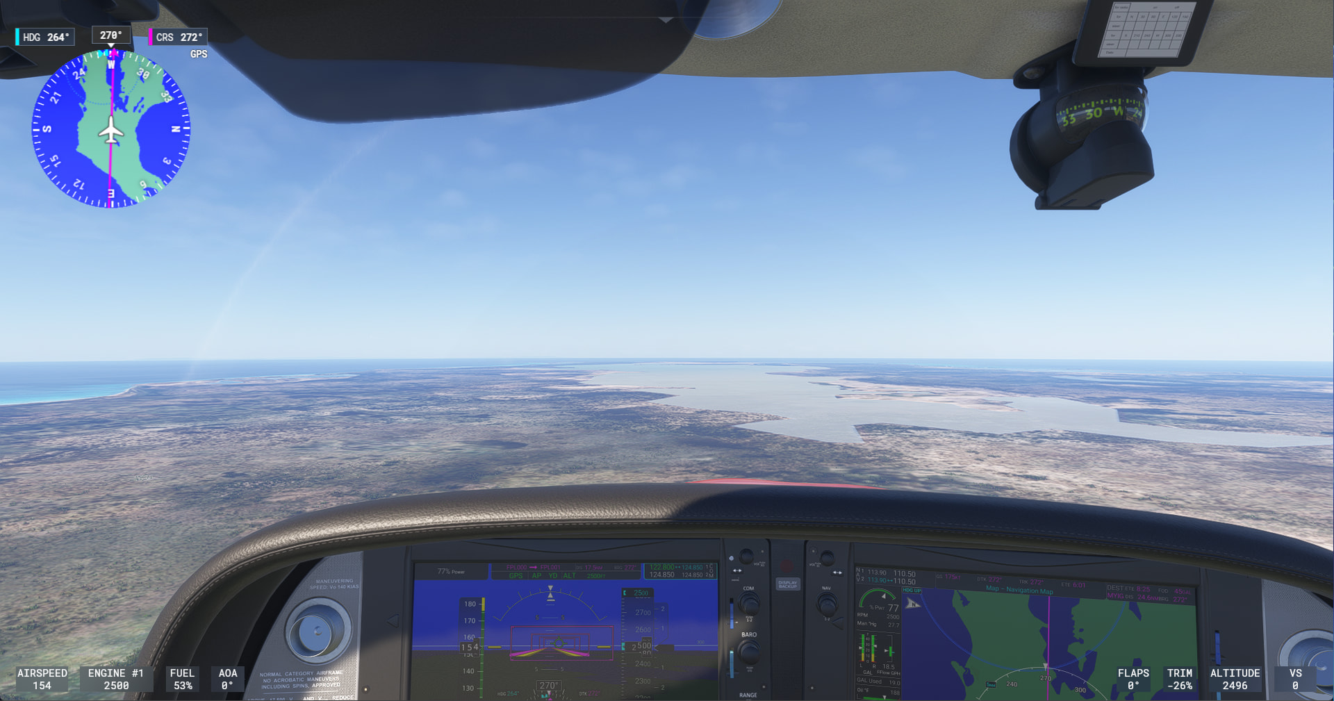
Inagua is another edge of the water approach.
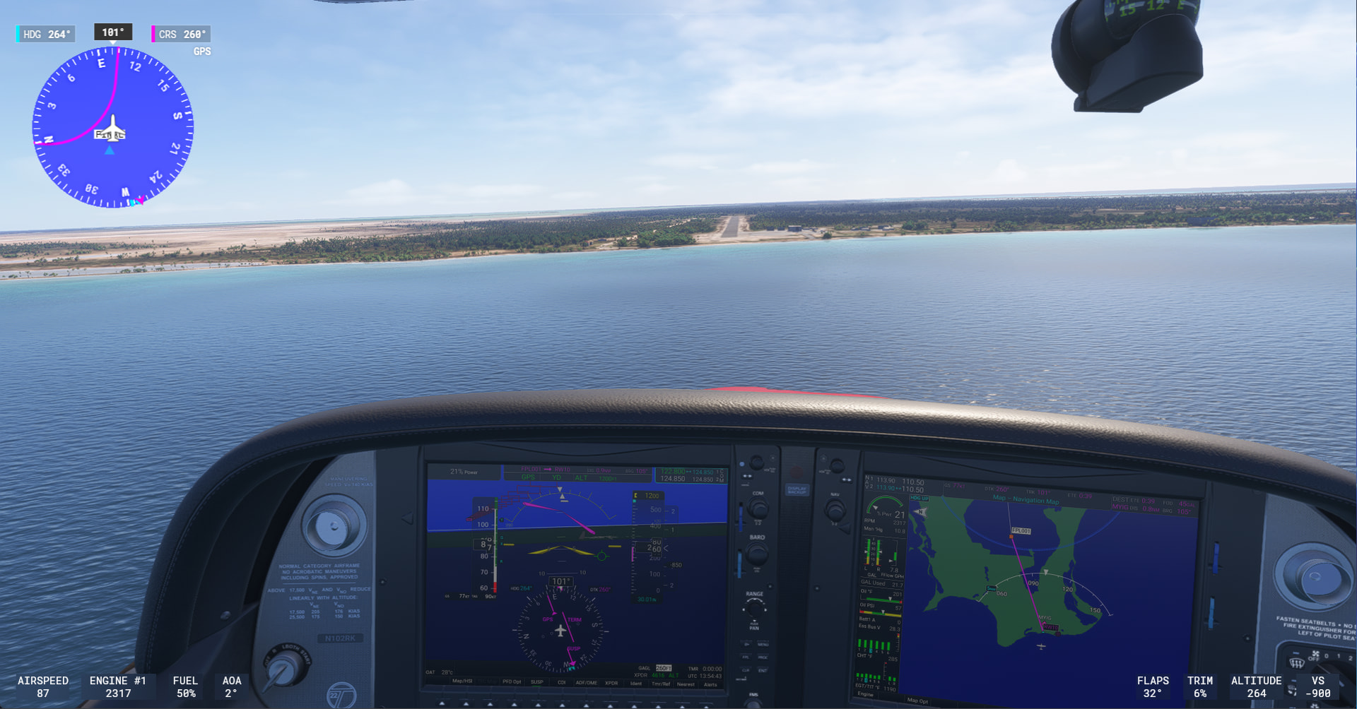
Haiti and Dominican Republic are a huge landmass. With mountains! Did not think I would have to be navigating around and over mountains on this tour. Flying into Cap Haitien International:

Flying in the valleys on the way to Port-Au-Prince.
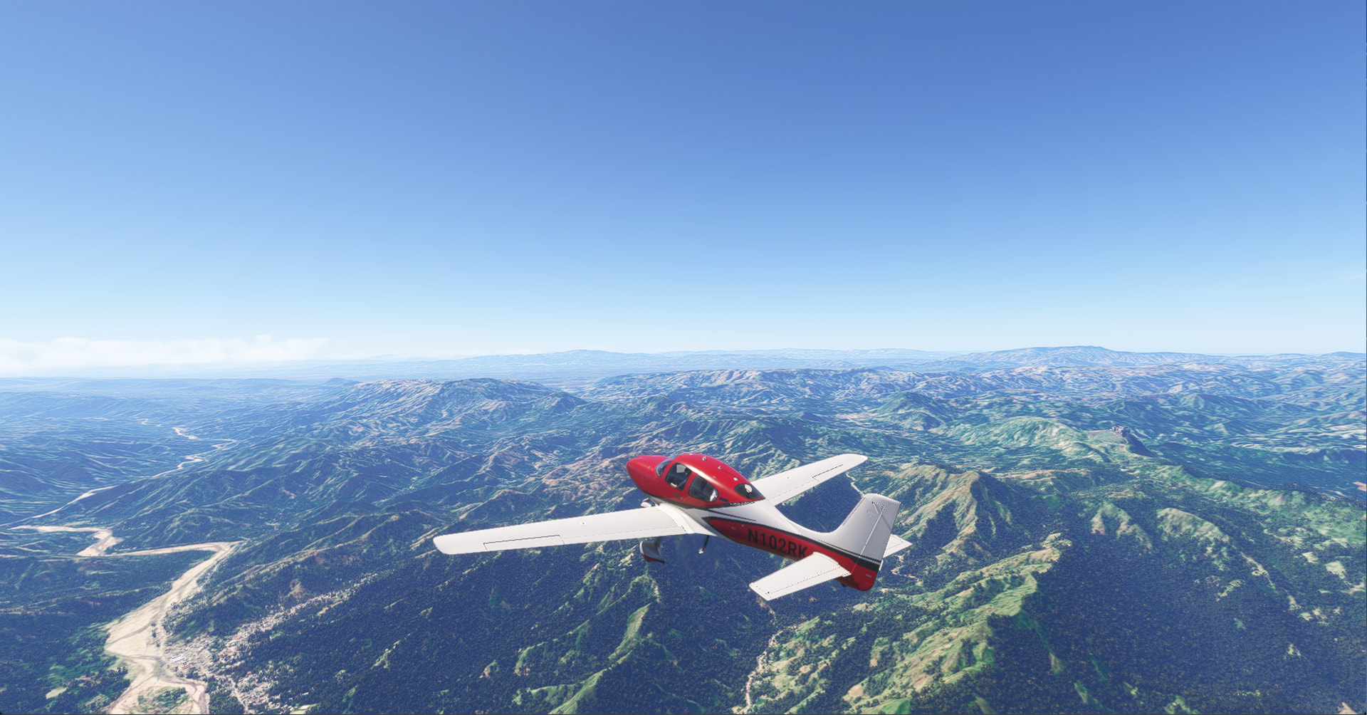
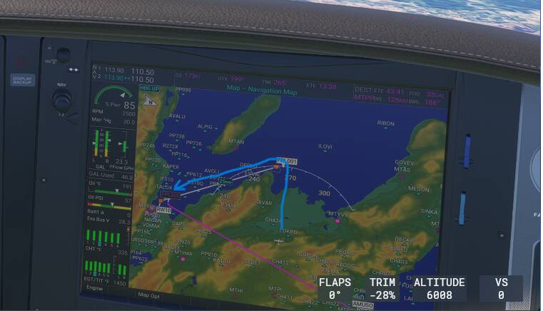
In the mountains, I tried to kill myself with the autopilot. I tried to enter a change to the destination approach mid-flight and somehow it changed some legs to Direct-to the destination and tried to fly me through the mountains instead of around. Had to manually set the headings. You can see on the MFD on the right where it changed the leg I was on and was trying to take me South through the mountain directly to MTPP vs. I intended to fly West through the valley and around the coast (sketched in blue).
I have no idea what it did because it seemed to be treating my destination like a waypoint and would have flown that final leg in white in reverse.
Another valley flight over to Barahona and into the Dominican Republic side.

[ Then I had to stop for the day because in r/l, I had a flying lesson to go to. Logged my first r/l landing! ]
Dominican Republic
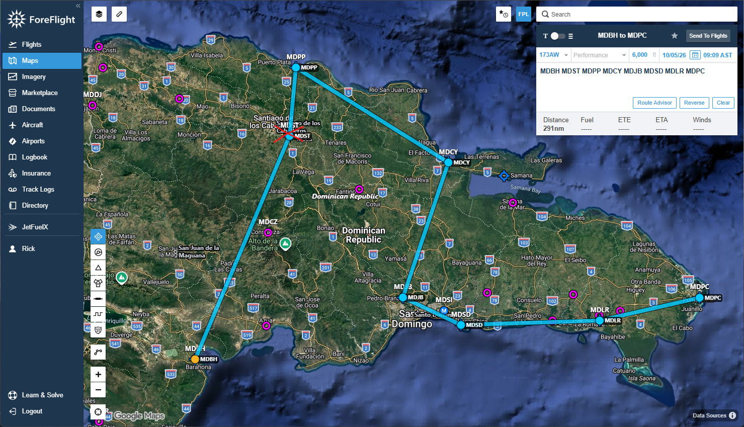
My first stop was supposed to be MDST Cibao International in Santiago, but clouds all the way to the ground were beyond my confidence to land in the mountainous terrain. I diverted and continued on to my next destination.
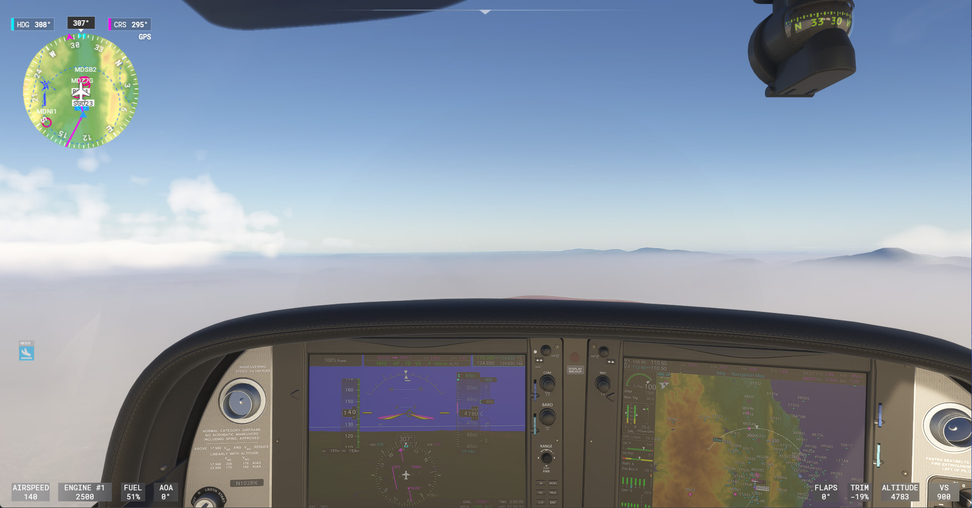
Clear weather descending down into Gregorio Luperon in Puerto Plata

Another runway right at the edge of the water there.
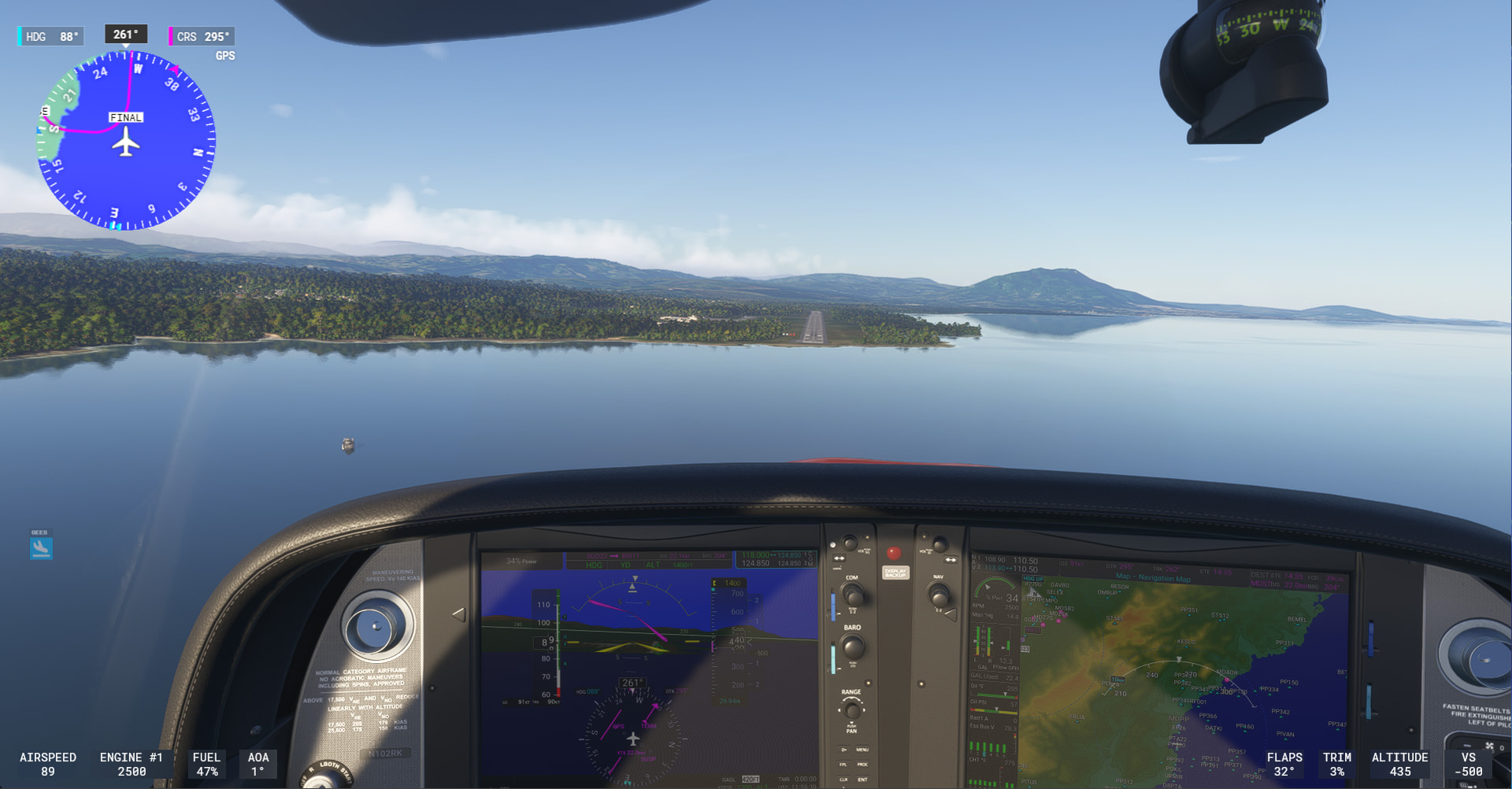
Interesting approach down the hill into El Higuero in Santo Domingo, plus trees to clear. [ PAPI lights in MSFS don’t seem to be calibrated to actual obstacles on some of these runways ].
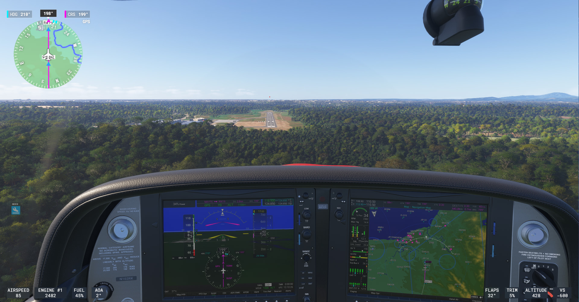
Much flatter on Eastern side of Dominican Republic (Casa De Campo International in La Romana)
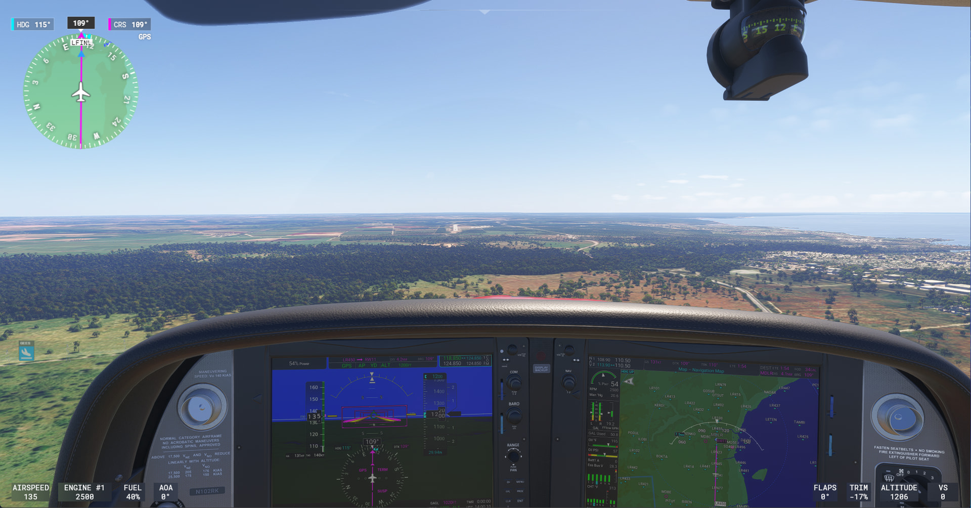
Last stop today is Punta Cana International. Cute little taxiway through the woods from runway 08.
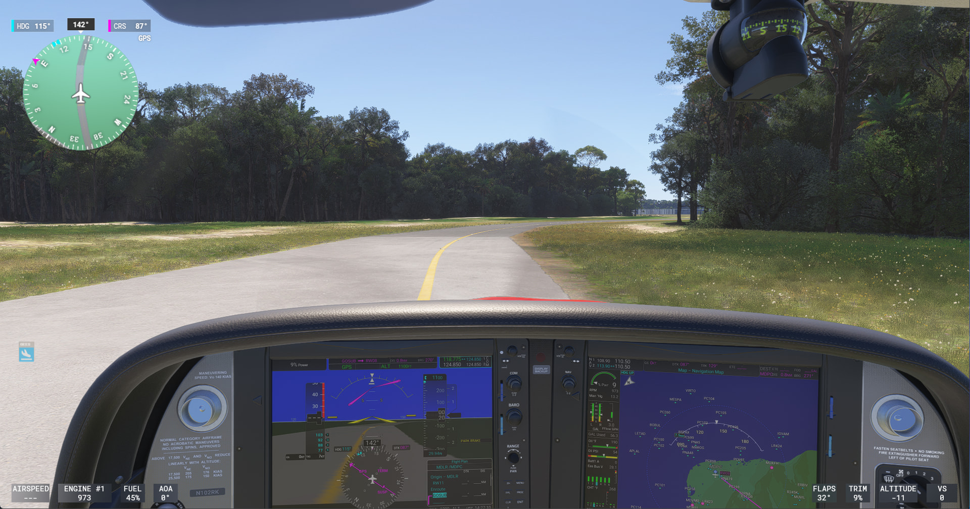
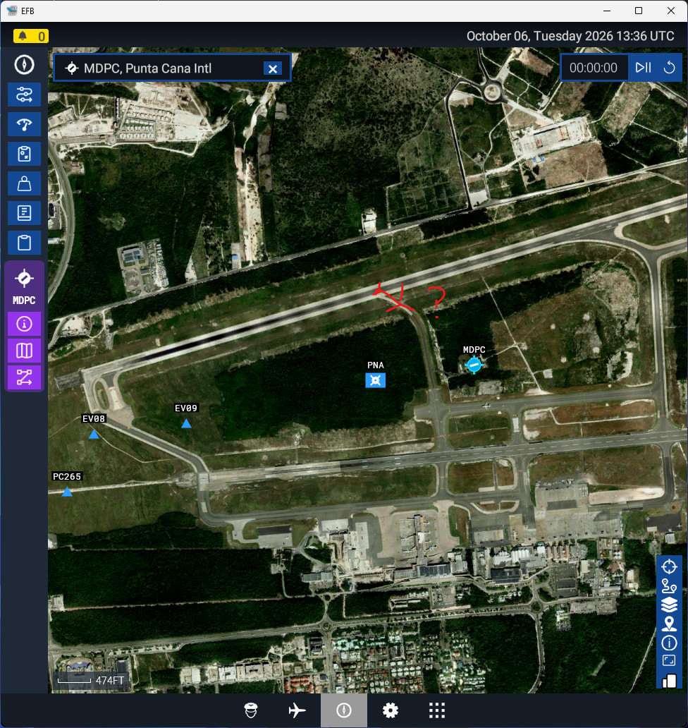
(Note added the next day: I took off again from that runway and had to wait for a simmer in jetliner to land in front of me. They initially turned on that mid-runway taxiway, but then must have decided they would not fit through and instead went around to the end of the runway.)
Over for a couple of stops in Puerto Rico
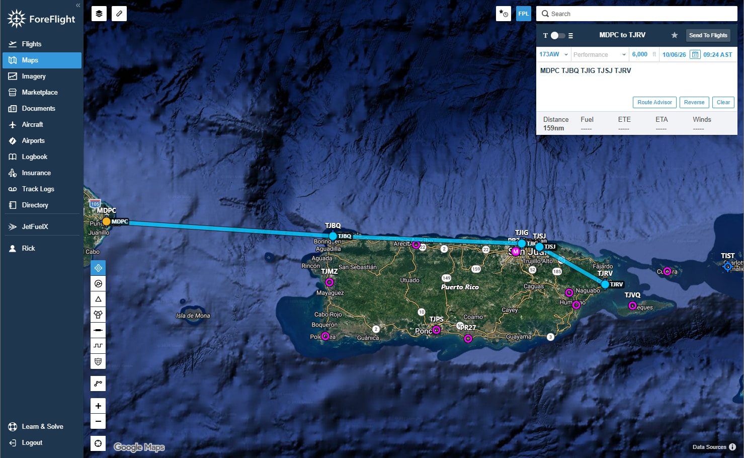
Aguadilla, Puerto Rico
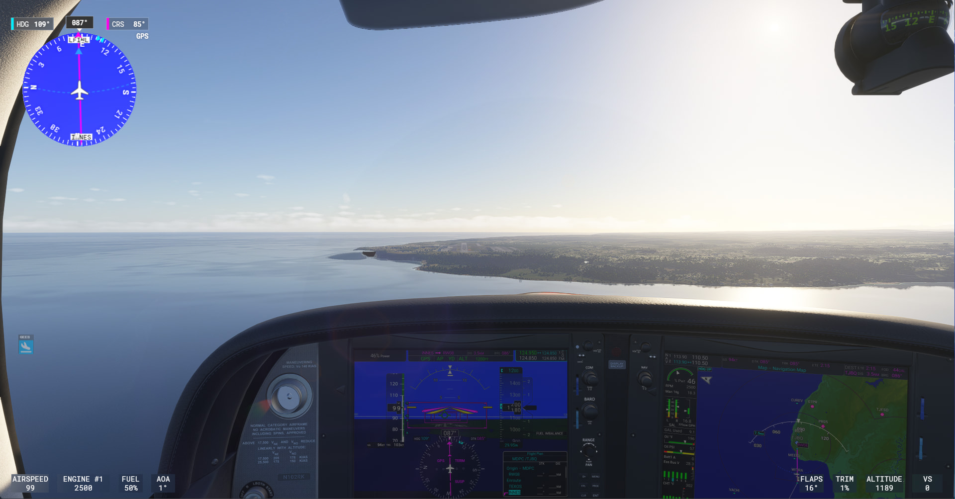
Along the North Coast of Puerto Rico into San Juan
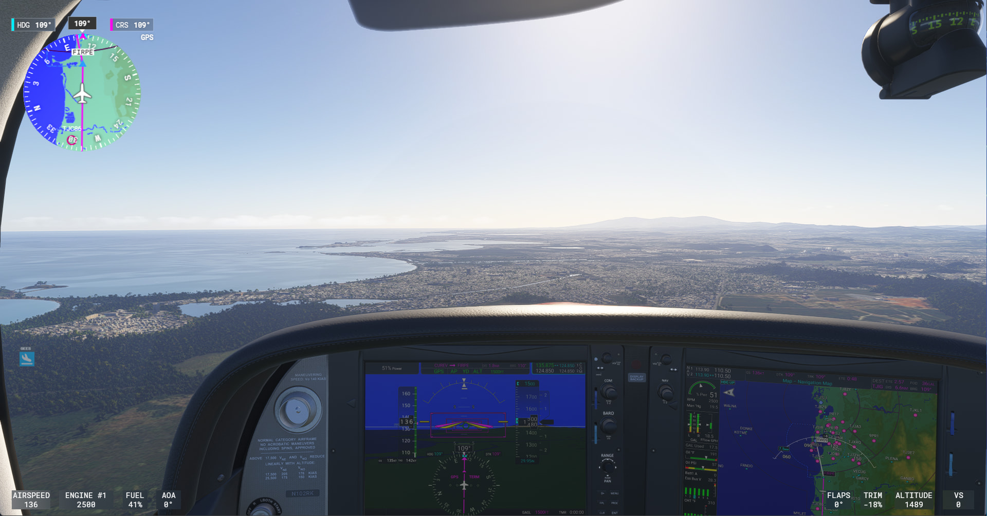
Fernando Luis Ribas Dominicci Airport in San Juan
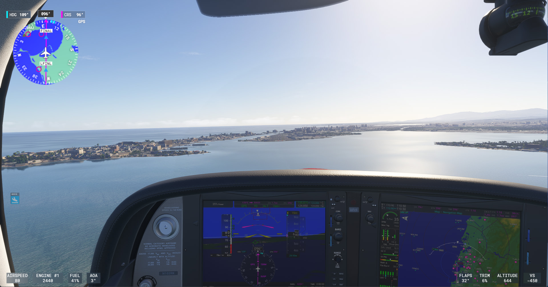
Its the Cruise Ship Terminal
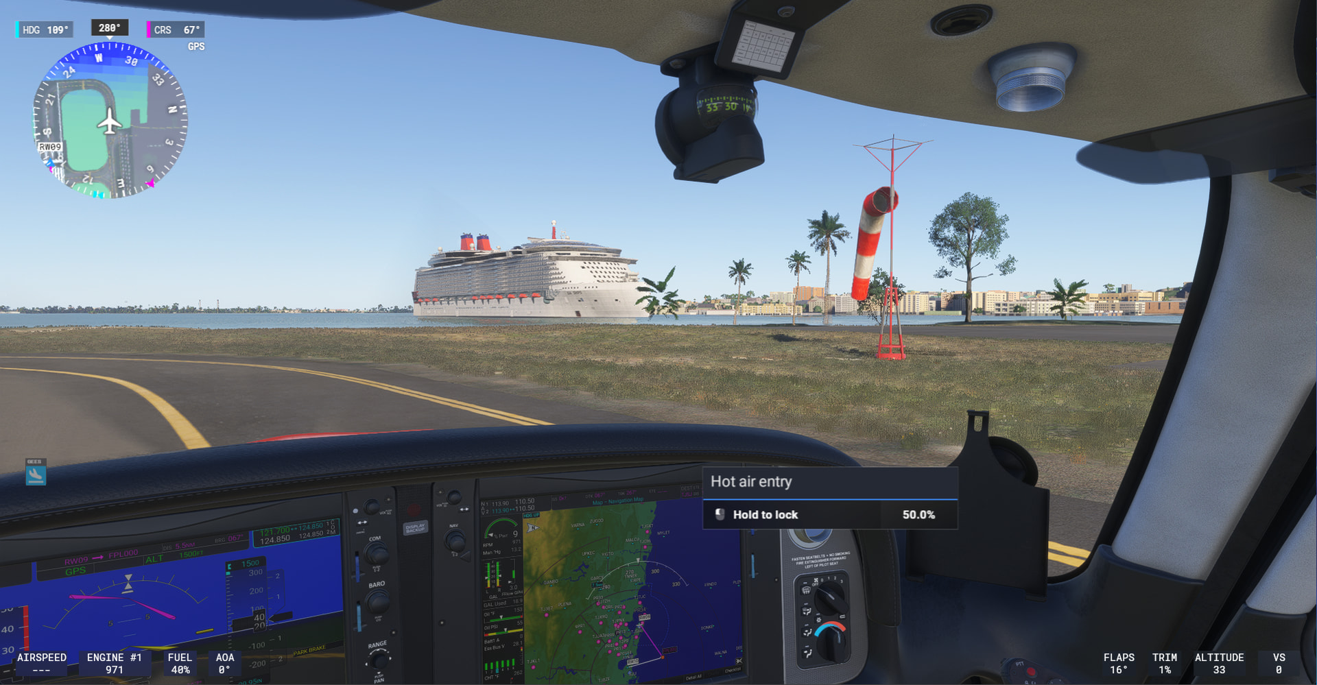
Quick hop and approach back to the Main San Juan Airport Luis Munoz Marin International
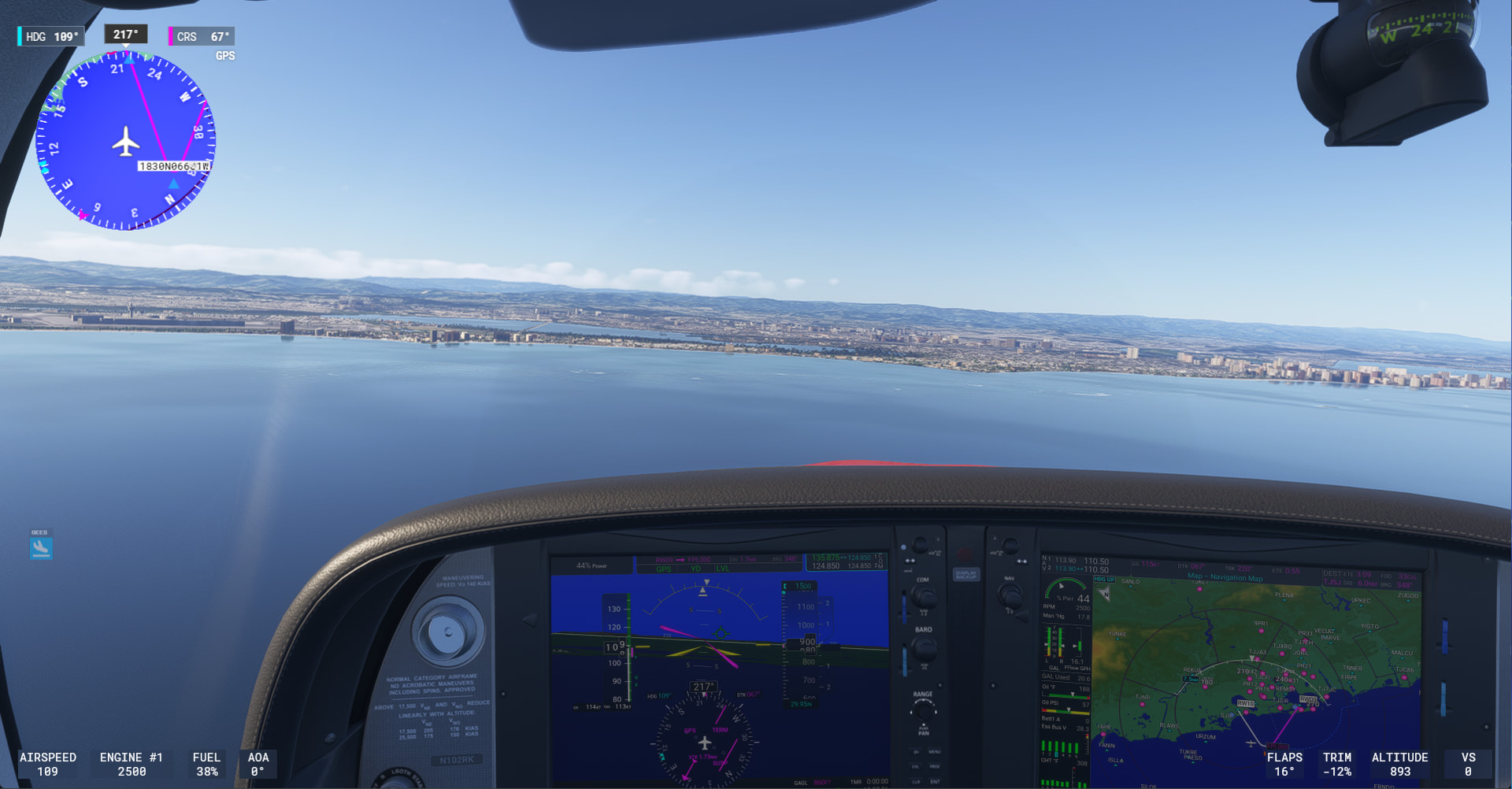
I was too busy overshooting the base turn to get a good photo of the runway:

Rounding the NE point of Puerto Rico into Jose Aponte De La Torre in Ceiba
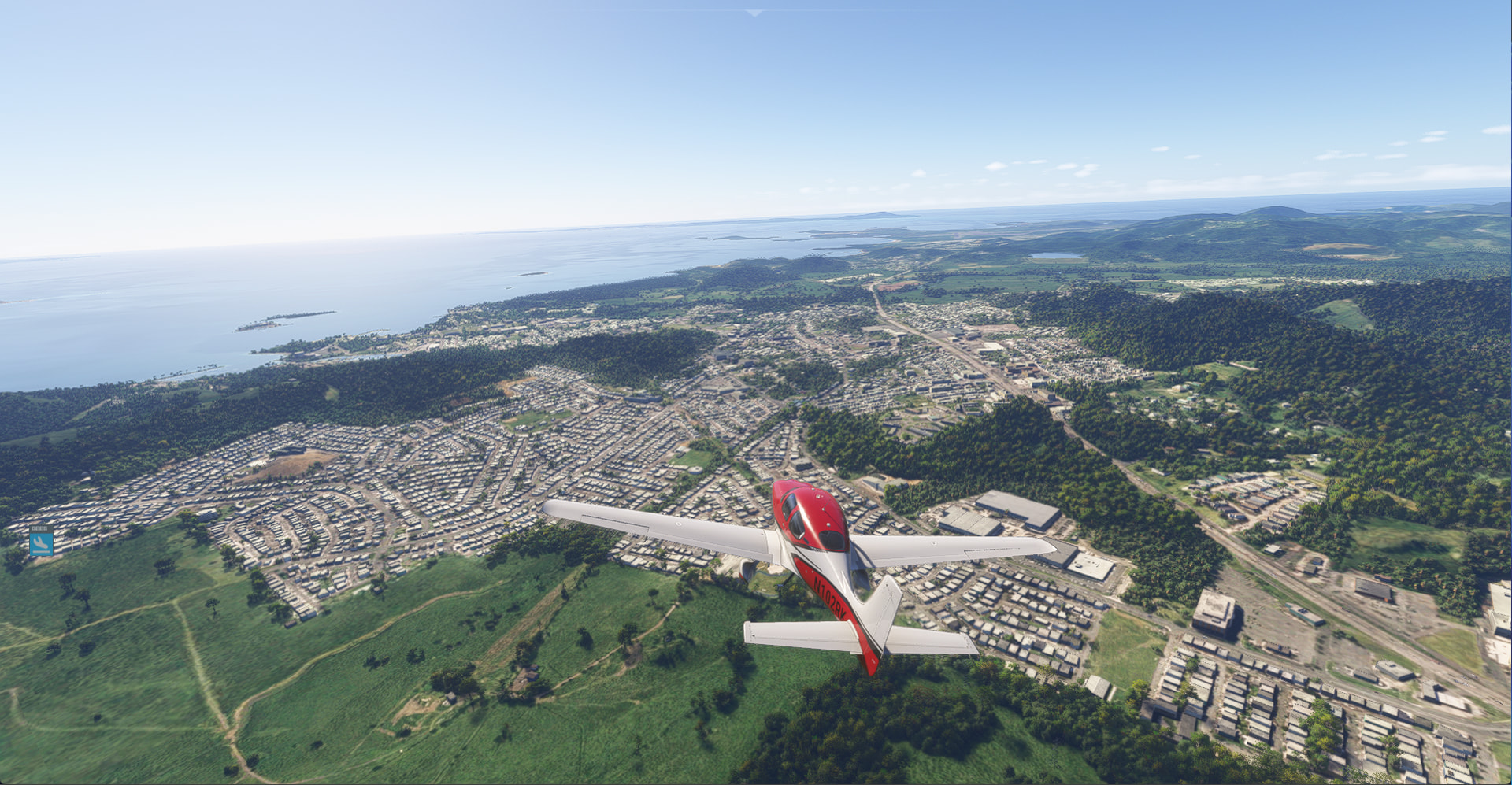
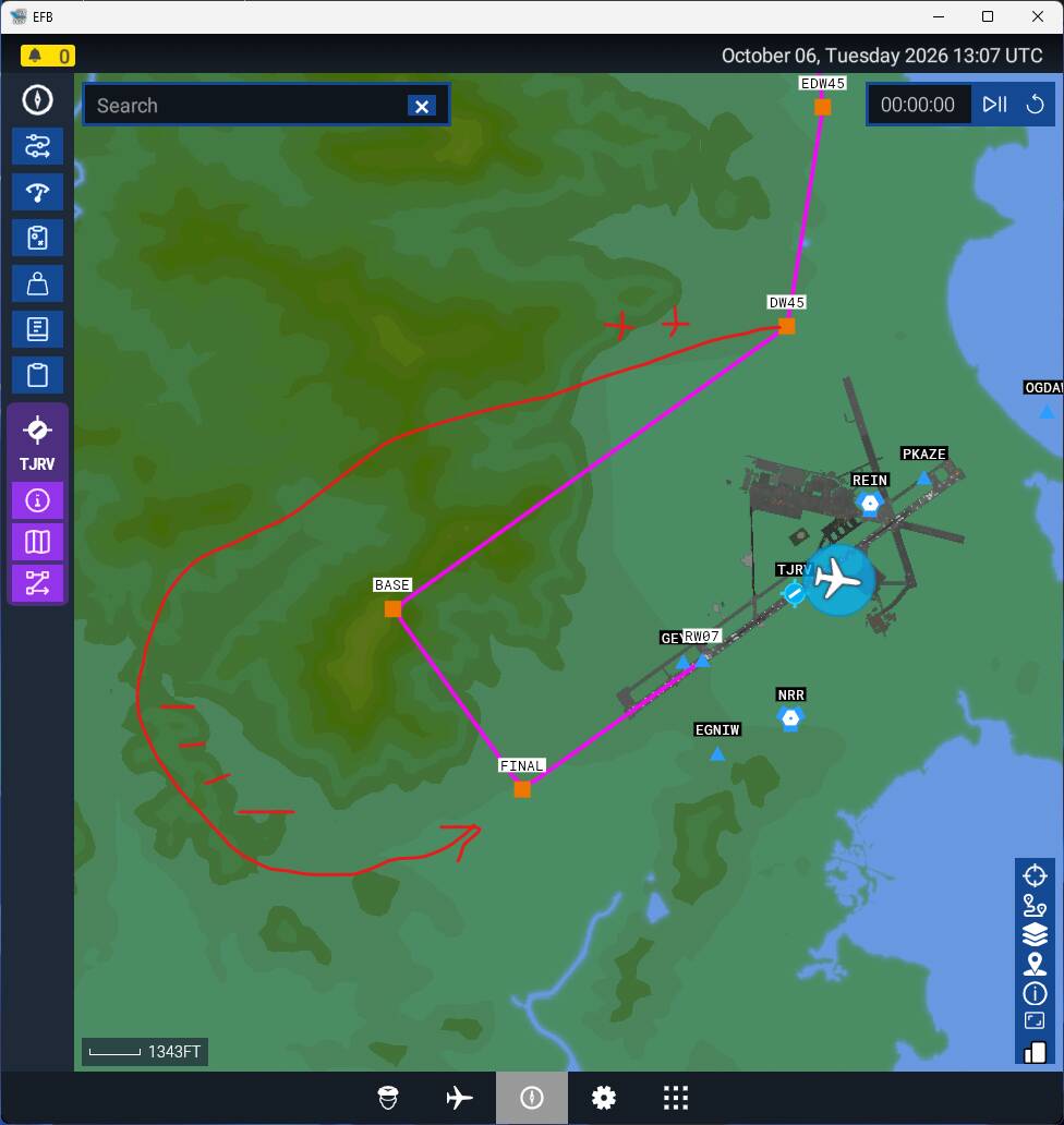
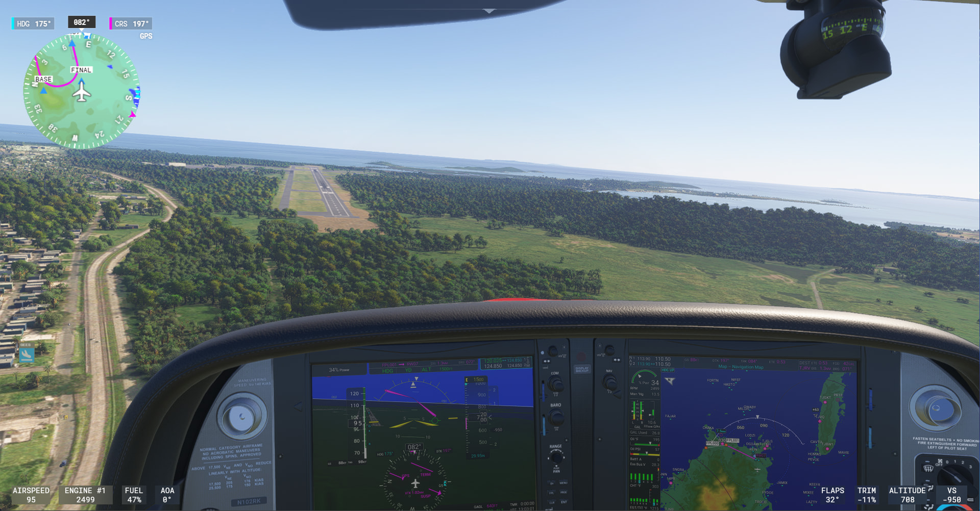
I should have looked at the terrain map more closely for the approach. My inexperience with terrain with actual elevation biting me again. MSFS’s simulated tower at TJRV instructed a Left Pattern, but turns out there is a bit of a hill directly in the way of that. I bet that runway is Right Pattern in r/l. Had to climb and go around the hill, then descend pretty quickly.
Virgin Islands, Saint Croix, Anguilla, St. Martin, and St. Bart’s

I switched to the Cessna T206H Stationair for these hops. I personally was not going to be able to do the landing at TFFJ on St. Barts in the Cirrus SR22T. I wanted a little practice back in the 206 in prep for that.

Twilight flight to Cyril E. King on St. Thomas

TQPF Clayton J Loyd International on Anguilla was not an easy airport to spot:

Grand Case in St. Martin

Princess Juliana International also on St. Martin

Arriving at St. Bart’s

The Runway is on the other side of the ridge.

Did I clip the tree?

tffj landing replay.mp4
[My setup stutters if I try and run the video recorder while playing, so I recorded a video of my landing from the an in-game replay. Sound is wonky as are other things.]
TouchdownFX gave me 71 pts. I was trying to get it down firm, so OK with the VS, but it got a little sideways chasing the centerline.

St. Kitts to St. Lucia over the past couple of days.
[ My progress on this sim Island Hopping Tour has been slowed by my r/l flying training. Using my sim time to practice the training scenarios between r/l flights.]

Continued in the Cessna T206 to St. Kitt’s


Interesting obstructed by mountains on right side approach into TKPN Vance Winkworth International on Nevis.

Switched back to the Cirrus SR22T G6 Before going to St. John’s


Guadeloupe

Martinique

St. Lucia


St. Lucia to Trinidad and Tobago

Started with a quick hop around the SW Corner of St. Lucia to the other large airport, Hewanorra International


Barbados, Grantley Adams International is the Eastern-most point of my tour.

My criteria was to visit all the airports large enough to warrant the + symbol in ForeFlight, not just a circle. Not sure why Canouan has the + on such a small island, but it did, so I landed there (and skipped TVSU, for example).

[EDIT - I got myself curious enough to look it up. The + indicates airports with services like fuel. The circle indicates no services. So my criteria does kind of make sense.]


(messing around taking a pic during final is my excuse for being high on this one)

Arrival to Grenada, Maurice Bishop International (with another cruise ship sighting).

Tabago, Robinson International

Trinidad, Piarco International is on the other side of the hills, so cut through the valley


Flatter part of Trinidad

[Forgot to take a pic of final approach into Piarco international.]
The Southern-most airport on my tour seemed like a good place to stop for the day.
Trinidad to Aruba

Some of these longer legs, its worth climbing up to get higher TAS. Climbing out of Piarco International, Port of Spain, Trinidad. 196 Kt TAS at 9500 ft while staying under 20 gph.

Making 207kt TAS on the descent back down.

Fun to have the coms be to “Magarita Tower” on the way into Chief General Santiago Marino International on Parlomar

Final turn into Flamingo International on Bonaire

Flying to the West with the prevailing winds from the East makes good time, but it means most of the landings and takeoffs involve flying in the pattern a bit.
Entering the Left Downwind and then Final Turn at Hato International on Curacao


Aruba is pretty flat, but one little hill kind of right near the 45 into the Left Downwind.


The next leg I have planned is the longest over-water stretch of the tour - 510nm to Jamaica.
[ Probably sim-fly that from my laptop while watching football later today. ]
Across 510 nm of open water from Aruba to Jamaica

Climbing out of Aruba with nothing but blue water visible on the horizon.

Descending towards Jamaica, land is a welcome sight.

After a teardrop pattern entry over the Norman Manley International airport, my first approach was bad - I turned too soon on Base, not accounting for the Right crosswind. I should have bailed sooner, but after a couple hours of flying, I was perhaps too eager to land. Did finally go around after trying to save the landing too much.

My 2nd approach was better.

But I still kind of messed up the cross-wind landing.
MKJP Landing.mp4
I had too much Left Rudder in the whole way (the wind is from the Right, so I was over-compensating). The plane was not aligned to my direction of travel. The TouchdownFX plugin really illustrates this well.

Need to learn what visual queues can help me align the plane to the direction of travel.
Going from short island hops to the 510 nm crossing to Jamaica really changes the character of this tour. After so many airports close together, that stretch of open water makes reaching land feel like an event. I like that you’re including the diversions and go-arounds too—it reads like an actual journey, not just a collection of perfect arrivals.
Yes, it really hit home that water crossings in a non-pressurized single engine at 10,000 ft, you are only a few minutes away from ditching in the water should anything go wrong. When all the radio contacts fell off the “Nearest Airports” list in the coms, I was surprised how that also made me feel a bit in the middle of nowhere.
And the other islands I visited are not all as close together as I had originally imagined. I was thinking the typical hops would be short flights of 10-15 minutes, but as I came to learn, many of the islands are more like 23-50nm apart and some even 60-100.
I was also surprised to realise that some of the islands themselves are pretty big. Haiti / Dominican Republic is 300nm across. Visiting all the larger airports there was a mini-tour of an area about the same as a smaller U.S. State. Puerto Rico is 100 miles across.
Cuba is ~650 miles long but it only has the one airport in Havana that I plan to visit. None of the other airports on Cuba met my criteria of having a Foreflight + symbol for an airport with public services. That might be more of a political condition of there not being a lot of public GA aviation in Cuba. A lot of the airports are certainly big enough and in larger populated areas. I still might consider another couple-few stops on Cuba. Luckily, no visa needed to visit any country you want in the sim!
Jamaica, Cayman Islands, Cozumel, (Cancun), and Isla Mujeres

Buzzed across and then along the North coast of Jamaica over to Sangster International at Montego Bay


Arriving at Grand Cayman and landing at Owen Roberts international in Georgetown


Departing the next day from Grand Cayman climbing through the Sunrise-flavored clouds

Cloudy when I got to Cozumel


Did not land there, but took a low pass along the beach at Cancun. Hazy with low clouds.


Not even sure it the airport is even still open on Isla Mujeres in R/L, but wanted to sim-fly into there. Spent some time there a few years ago and thought the airport was kind of interesting squeezed onto the small island.


Final hops coming up: Cuba, the Keys, and finally back to Central FL
Isla Mujeres, Isla de la Juventud, Havana, and Key West.

Climbing out of Isla Mujeres

Rafael Cabrera, Isla de la Juventud, Cuba

A lot of haze coming into Jose Marti International in Havana, Cuba (next day)

Arriving at Key West at the golden hour with thunderstorms nearby.
keyw arrival.mp4

I recorded a great video of my teardrop approach and pattern in the golden sunset. But as is typical in MSFS at the more popular airports, it got photobombed by an overflying player in a jet buzzing the GA planes. (I cut off my embarrassingly-bad final touchdown that happened as I got distracted).


Darkness and storms cut short the day - will have to finish the final legs back to SW Florida tomorrow.
Finished the Tour.
Flew the last couple of legs from Key West, Marathon Key, Marco Island, and back to Page Field in Fort Meyers.

Better weather today, so able to depart Key West
Flying along the Overseas Highway / U.S. Route 1

Marathon Key
Why are those trees there at the end of the runway? (the proverbial 50 ft obstruction)

Marco Island (it had “island” in the name).

Flying along SW Coast of FL, overflying Naples

Final Turn for Page Field in Fort Meyers (my snowbird home base in R/L).

Last shutdown of the Tour
