Connecting the Capitals

Another idea, let’s see how far we make it! How about connecting the capitals of our world with a series of (hopefully) breathtaking flights? Or at least the capitals that can be reached in an appropriate timeframe with a Grand Caravan! Here we go, starting in Ottawa, Canada.

Table of Contents
I. Ottawa, Canada → Washington D.C., United States of America
1. Ottawa (CYOW) → Potsdam (KPTD).
2. Potsdam (KPTD) → Richland (1NY3).
3. Richland (1NY3) → Woodford (4NK4).
4. Woodford (4NK4) → Hazleton (KHZL).
5. Hazleton (KHZL) → Washington D.C. (KDCA).

II. Washington D.C., United States of America → Nassau, Bahamas.
6. Washington D.C. (KDCA) → Rocky Mount (KRWI).
7. Rocky Mount (KRWI) → Florence (KFLO).
8. Florence (KFLO) → Savannah (KSVN).
9. Savannah (KSVN) → Saint Augustine (KSGJ).
10. Saint Augustine (KSGJ) → Fort Pierce (KFPR).
11. Fort Pierce (KFPR) → Deep Water Cay (MYXZ).
12. Deep Water Cay (MYXZ) → Nassau (MYNN).

III. Nassau, Bahamas → La Habana, Cuba.
13. Nassau (MYNN) → Sagua La Grande (MUSG).
14. Sagua La Grande (MUSG) → La Habana (MULB).

IV. La Habana, Cuba → Kingston, Jamaica.
15. La Habana (MULB) → Santa Clara (MUSC).

Ottawa (CYOW) → Potsdam (KPTD).

Everyone who looked at a map of North America and then looked up where Potsdam, New York is will know that I took a detour right at the beginning of our journey. Why? Because I lived in Potsdam for quite a while - just not in this Potsdam but rather in the German city of the same name!

1. Kemptville, Ontario:
We followed Highway 416 south and crossed Rideau River near Kemptville. The town was apparently founded by the Clothier family who constructed a lumber mill. Smart as they were they added grindstones so the community didn’t have to construct a separate mill for their grain or transport it to locations farther away.

2. Ogdensburg-Prescott International Bridge:
At this great suspension bridge which connects - who would have thought - Prescott, Ontario with Ogdensburg, New York we entered the United States of America by crossing the Saint Lawrence River.

3. Canton, New York:
When an American town is named after a town from Europe, Asia, Africa or Latin America it is almost sure to be named that way because of the settler’s ancestry. Not in the case of Canton, New York though! The reason for its use of Guangzhou’s old name was nothing else than the locals’ chief interest in producing and trading Chinaware.

4. Potsdam, New York:
And here we are, finally in the town of Potsdam, New York! As with Canton, New York, Potsdam wasn’t named after the settler’s origin place, too. It was rather named for its unique reddish sandstone which resembles the iconic sandstone buildings in Potsdam, Germany.

1 Like

Potsdam (KPTD) → Richland (1NY3).

1. U.S. Route 11 near De Kalb:
After consulting the map I decided to head back west and follow U.S. Route 11 down towards Washington D.C. Therefore we passed Canton, New York and continued to the intersection with NY Route 312 near De Kalb.

2. Antwerp, New York:
Unlike our prior examples Canton and Potsdam, Antwerp was actually founded by people hailing from the Belgian city of Antwerp! This small town sits on the northwestern border of the Fort Drum Military Reservation and was once known as a regional cattle breeding centre.

3. Watertown, New York and Lake Ontario:
As we passed Watertown on the western edge of Fort Drum we saw Lake Ontario in the distance. As the easternmost Great Lake it connects the entire lake system via Saint Lawrence River with the Atlantic Ocean. Watertown itself was once home to the highest number of millionaires in the entire US before losing much of its influence and wealth to the boom town of Chicago during the 20th century.

4. Pulaski, New York:
How this tiny village on the eastern shore of Lake Ontario came to bear the name of an hero of the American War for Independence is currently unknown. It may be due to an influential investor who settled here during the 1830s and put the name forward, it may be due to a name lottery held by local veterans during that time. But fact is - the surname of the “Father of American Cavalry”, General Casimir Pulaski was used for almost two centuries by now.

Richland (1NY3) → Woodford (4NK4).

1. Oneida Lake:
After leaving Lake Ontario behind us on our journey south we approached Oneida Lake. While not officially part of the “Finger Lakes” of Upstate New York it is often counted as the “thumb” of this iconic set of lakes.

2. Syracuse, New York:
The city of Syracuse has always been an important transport and infrastructure hub in the State of New York: Founded as a French missionary outpost on Iroqouis territory it grew in importance after the construction of the Erie Canal as well as several important rail lines in the American Northeast.

3. Appalachian Plateau near La Fayette, New York:
After passing Syracuse we entered the Appalachian Mountains near La Fayette in Onondaga County. Sadly due to time constraints I had to cut this flight short but we’ll continue as soon as I am back from my weekend trip next Tuesday!

Woodford (4NK4) → Hazleton (KHZL).

Apologies, it took me a bit longer to continue posting! Despite this I hope you will still enjoy this little project. Let’s continue!

1. Cortland, New York:
The first town we visited today, Cortland was founded after the Revolutionary War as part of the Central New York Military Tract, an area designated for settlement by New York’s veterans to compensate them for their service.

2. Whitney Point Lake, New York:
This reservoir at Whitney Point, New York is state-owned and inhabited by multiple native fish species. Reading up on it I stumbled across the Pumpkinseed Sunfish (which sounds adorable!), a carnivorous species that is very effective in destroying mosquito larvae.

3. Port Dickinson, New York:
Once a major port on Chenango Canal, Port Dickinson is nowadays one of Binghamton’s suburbs. Due to its location on Chenango River it was hit by multiple severe floods since its founding, which even prompted the US Army to dig several channels to reduce the impact on the community.

4. New York - Pennsylvania State Border:
Following Susquehanna River we passed Kirkwood Airfield and Hogback Hill and arrived in Pennsylvania, our second US State on our way to the US capital of Washington D.C.

5. Pass near Bell Mountain, Pennsylvania:
This pass in front of us leads into Wyoming Valley where both Scranton and Wilkes-Barre are located. But that is not the important fact about this picture. More important (for me) is that it preceeded a CTD and I had to restart from nearby Seamans (9N3) to continue this flight. Still, a pretty view!

6. Wilkes-Barre, Pennsylvania:
Founded as a coal town Wilkes-Barre grew in importance during the Industrial Revolution and became home to many immigrants who came to work in the coal industry of Pennsylvania. Due to its reliance on one ressource, Wilkes-Barre went into decline after World War 2, accelerated by a distaster that flooded most of the valley’s coal mines and made them inaccessible.

7. Landscape near Hazleton, Pennsylvania:
The city of Hazleton was originally a coal town like Wilkes-Barre and had its fair share of mining disasters. Yet today it is best known for its large Hispanic and Latino community, which formed after a massive immigration wave at the beginning of the 2000s and settled mostly in Wyoming Street.

Hazleton (KHZL) → Washington D.C. (KDCA).

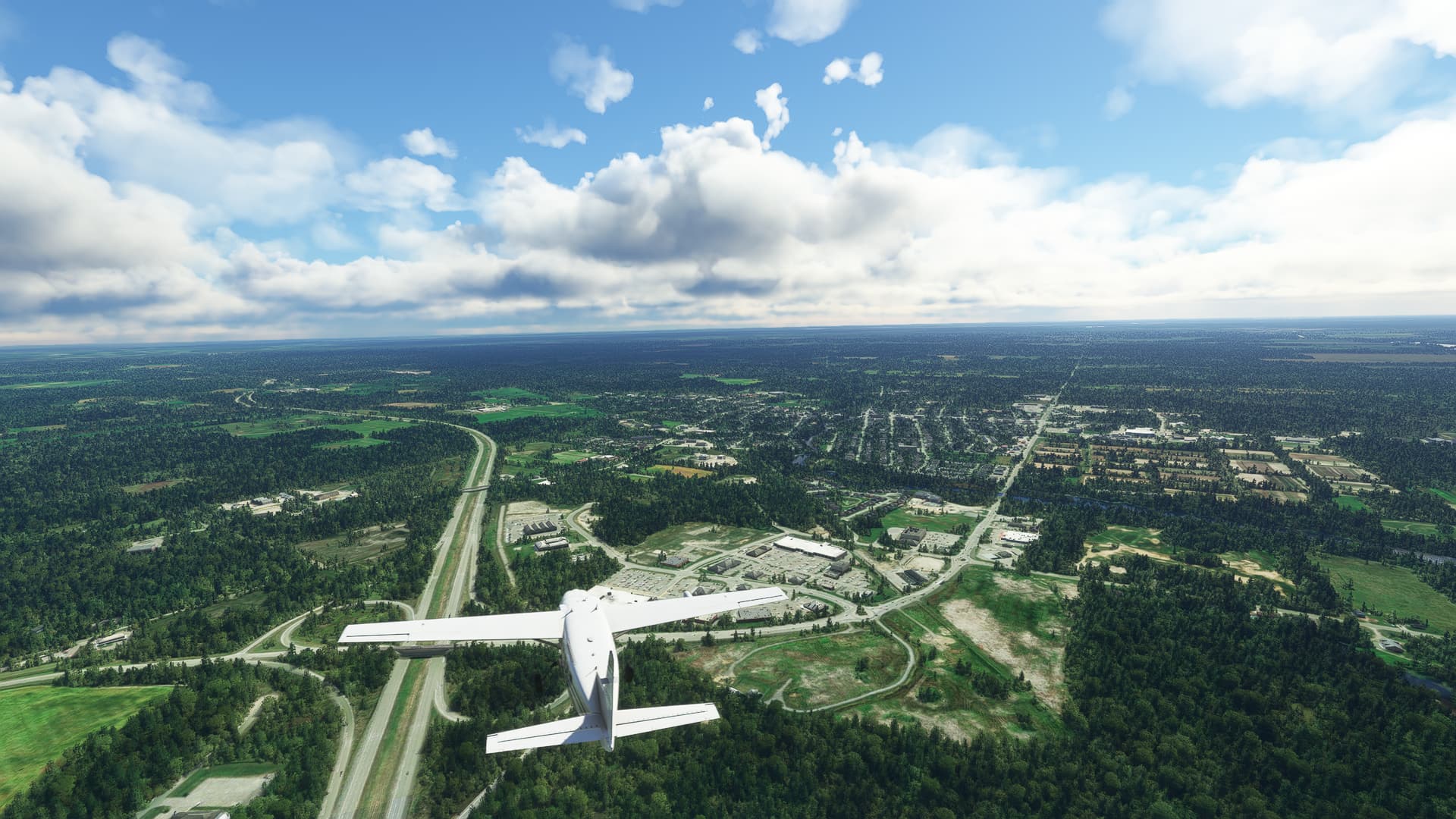
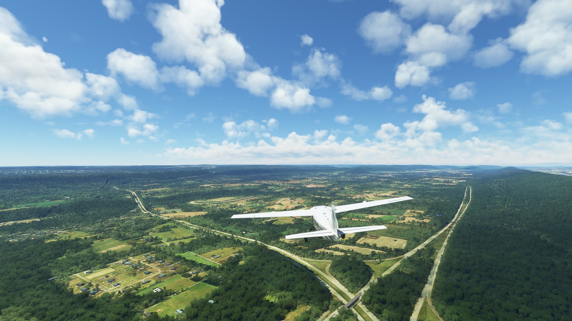
1. Conyngham, Pennsylvania:
After taking off in the morning hours we came across this small village near Hazleton. After a bit of research I found out that it had a famous namesake - Gustavus Conyngham, one of the first American privateers and one of the most successful officers of the Continental Navy during the Revolutionary War.

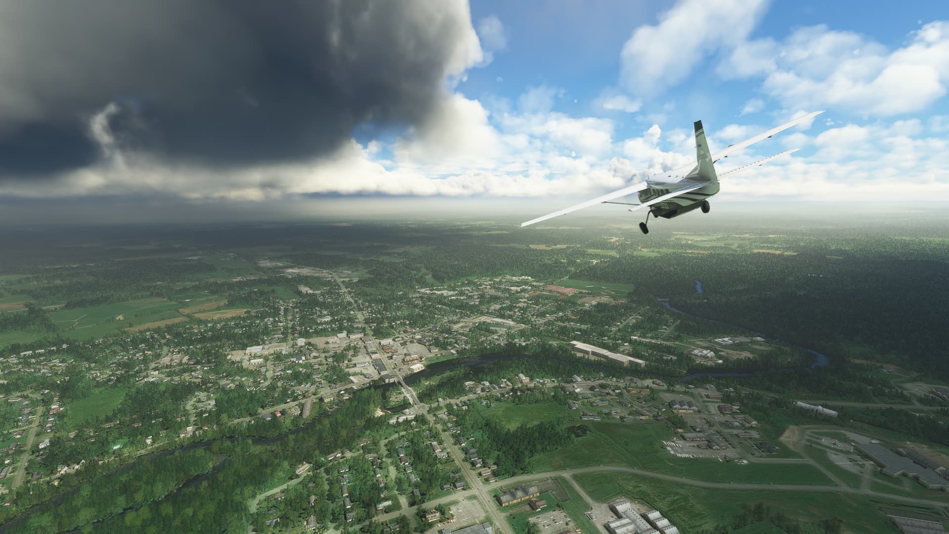
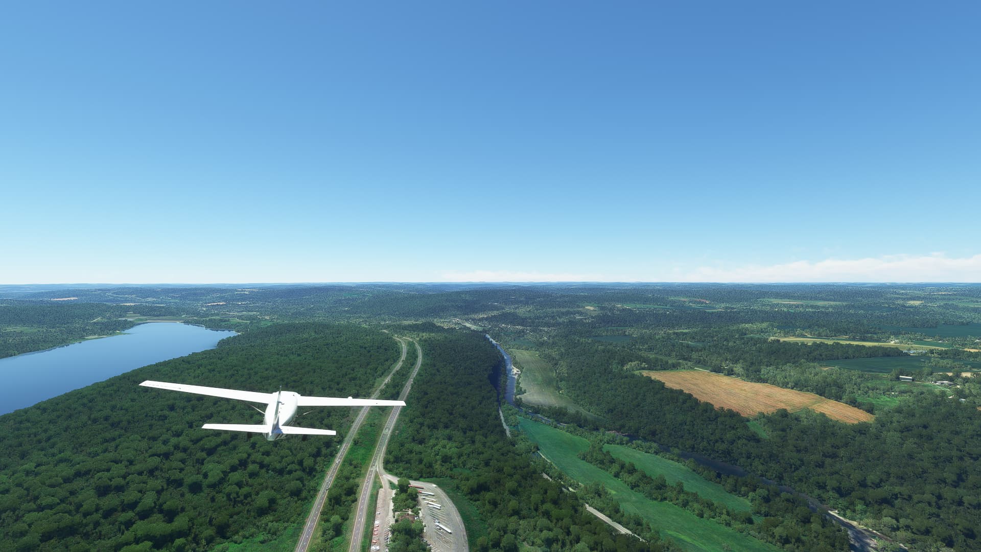
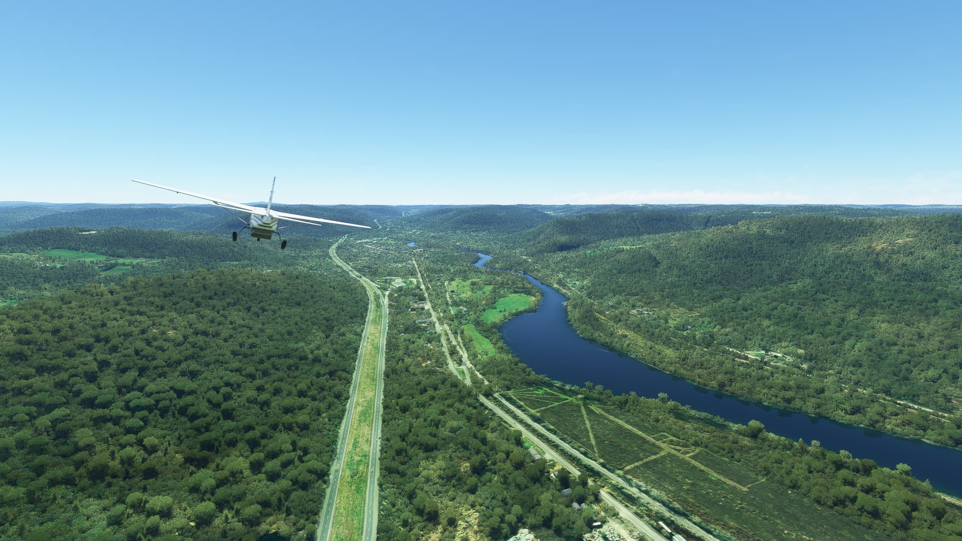
2. Schuylkill County, Pennsylvania:
Perhaps you are wondering about the weird name of this county, but it makes a lot more sense after learning that it originates in Pennsylvania Dutch as the name of a nearby river. Settled in the 1750s by Moravian and Palatinate immigrants from Germany Schuylkill County was the first place where the famous anthracite coal of Pennsylvania was used for smithing.

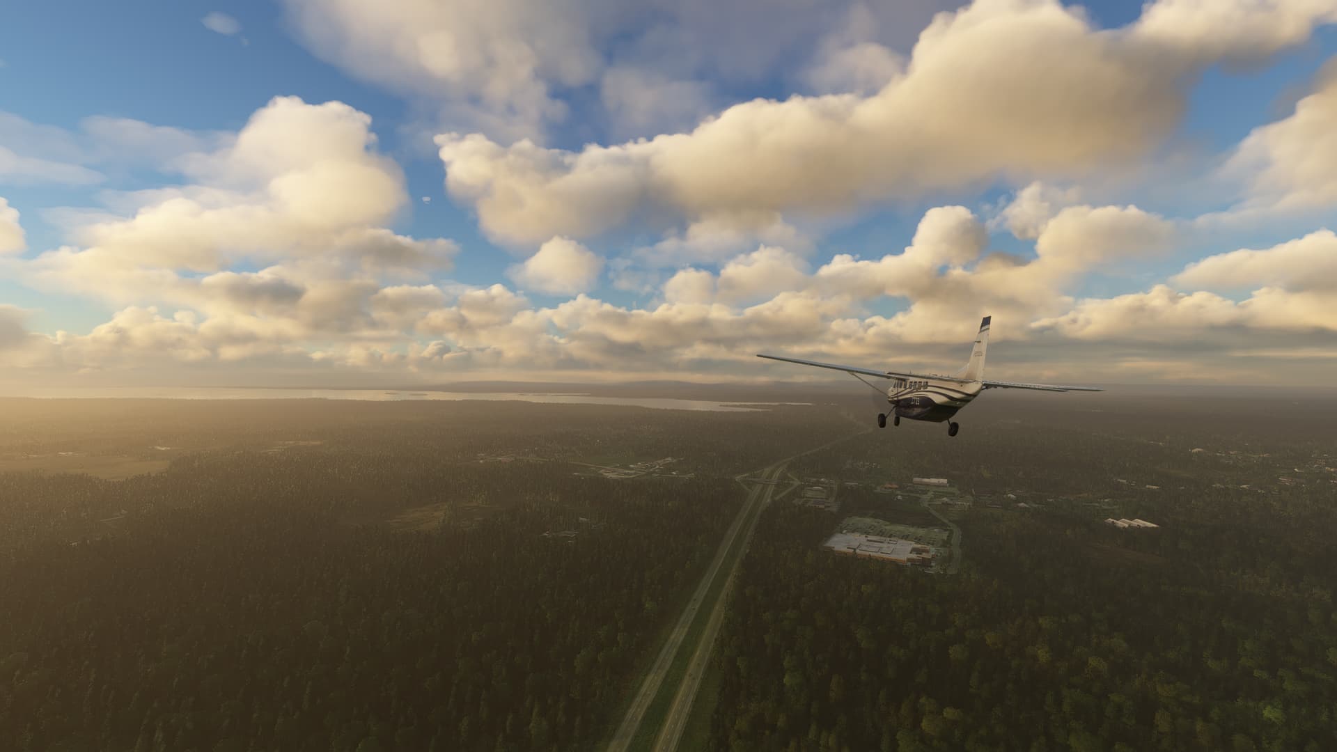
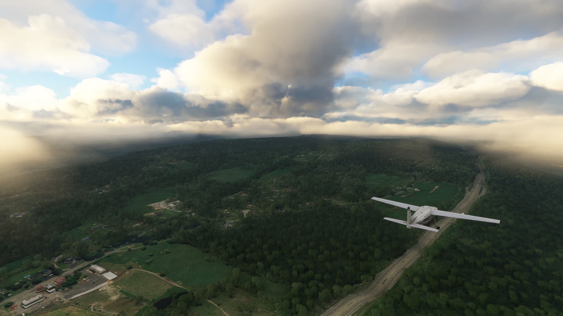
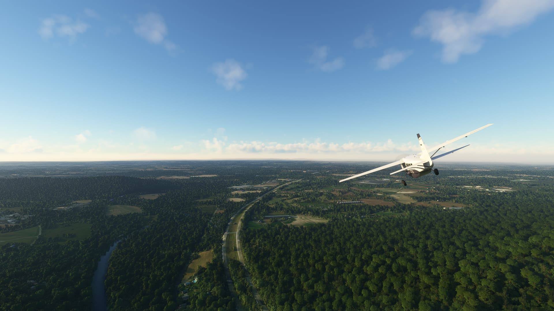
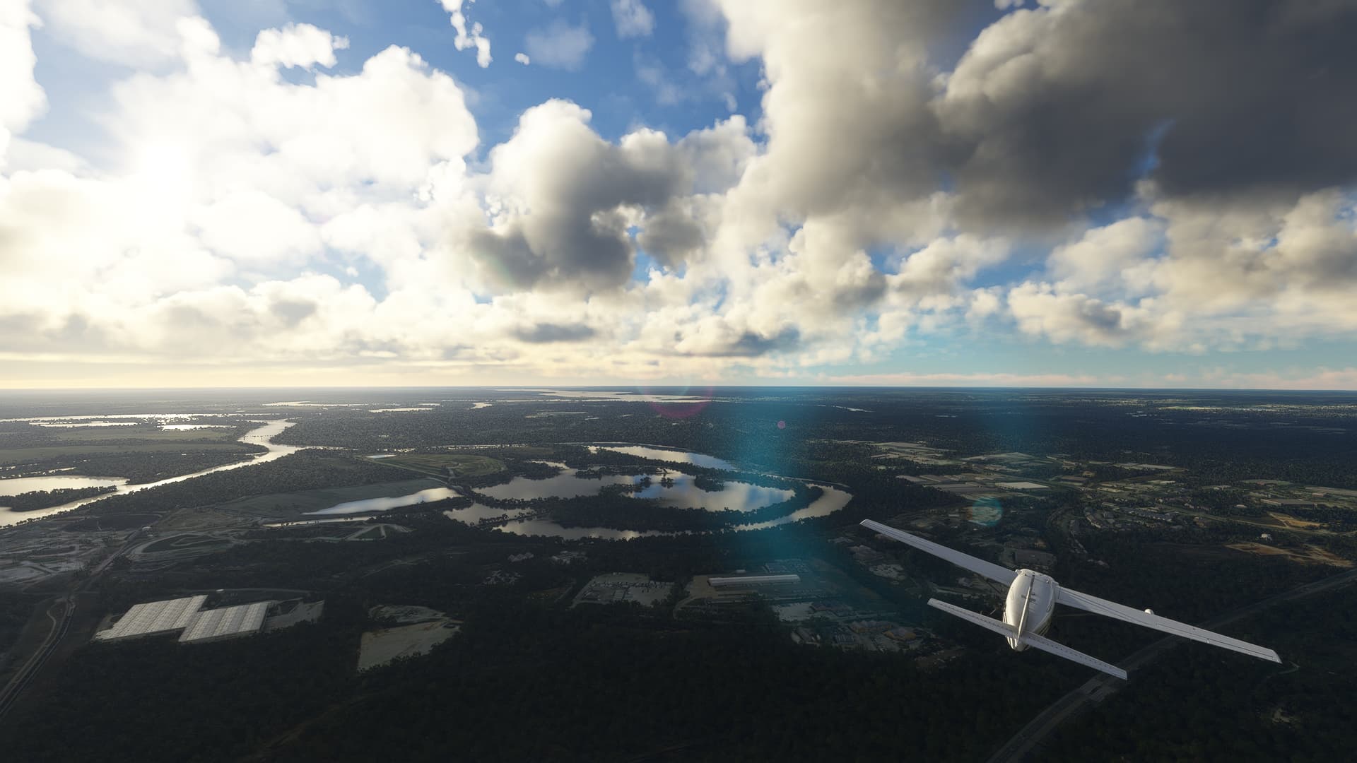
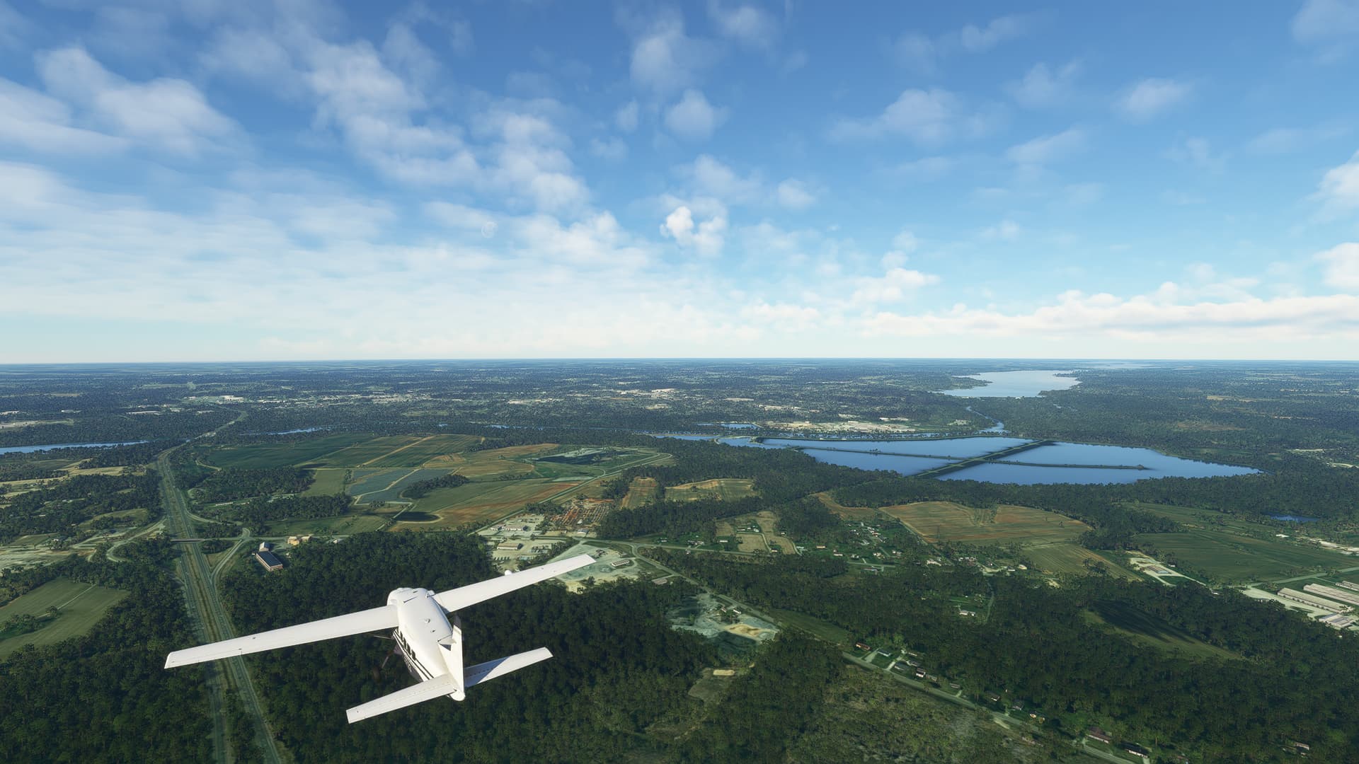
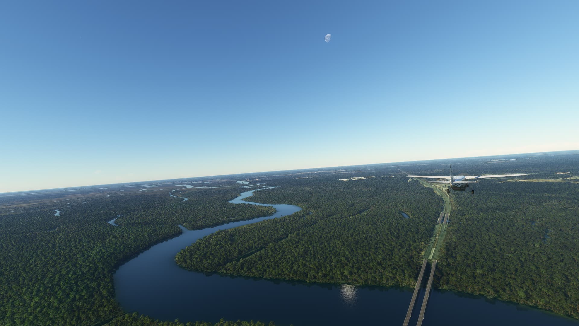
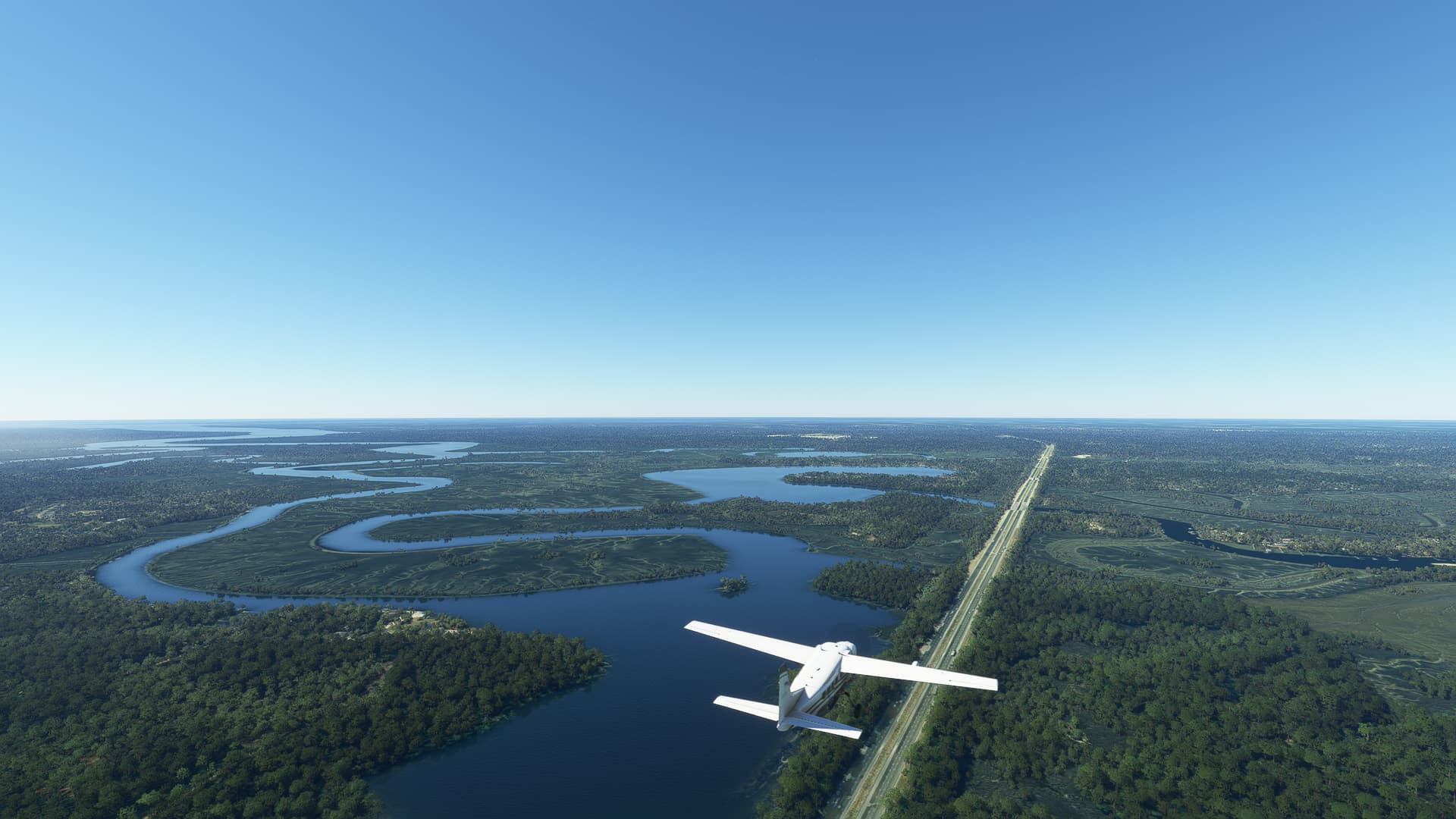
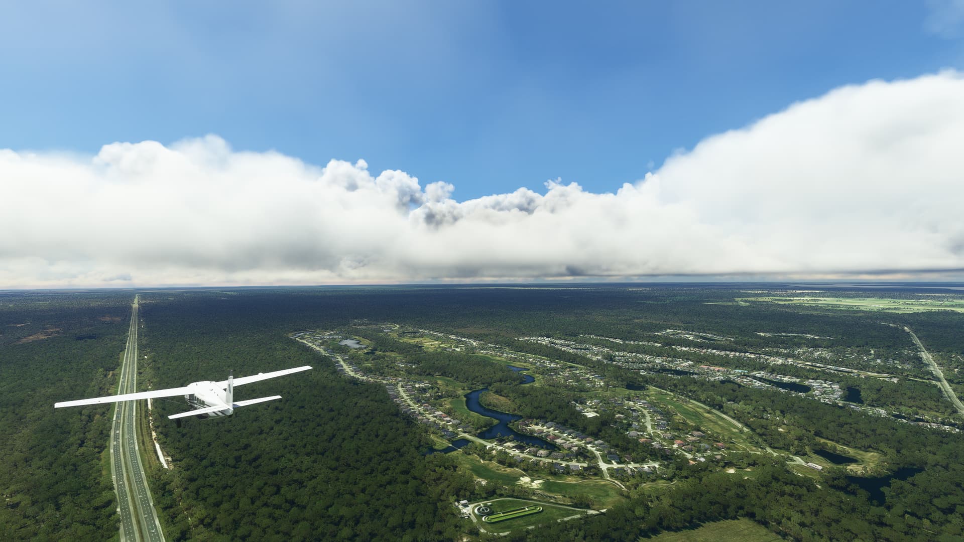
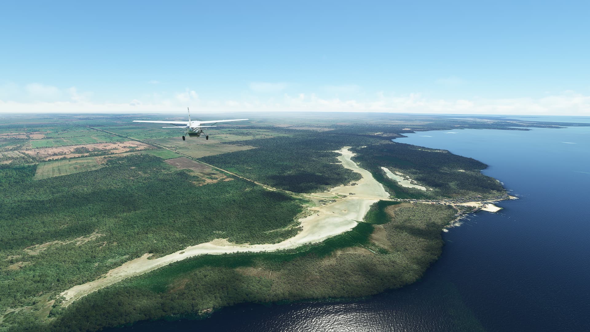
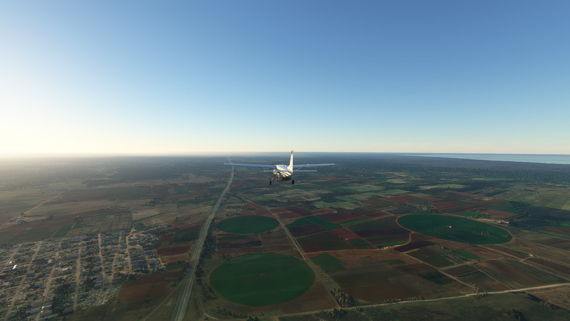
3. Swatara State Park, Pennsylvania:
Swatara State Park is one of the youngest state parks in Pennsylvania. It was founded in 1987 and is nowadays still largely undeveloped with existing plans to construct a reservoir for recreational fishing and boating while also expanding the infrastructure of bike lanes and hiking paths.

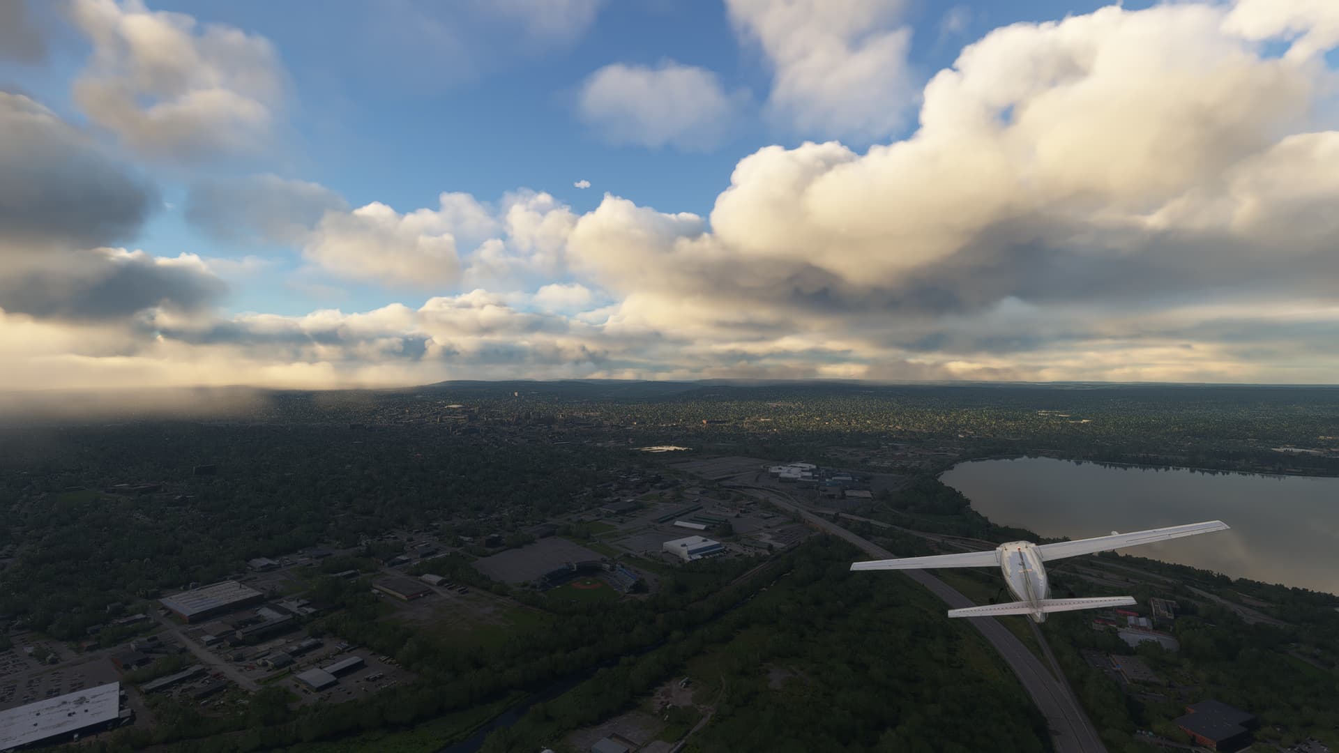
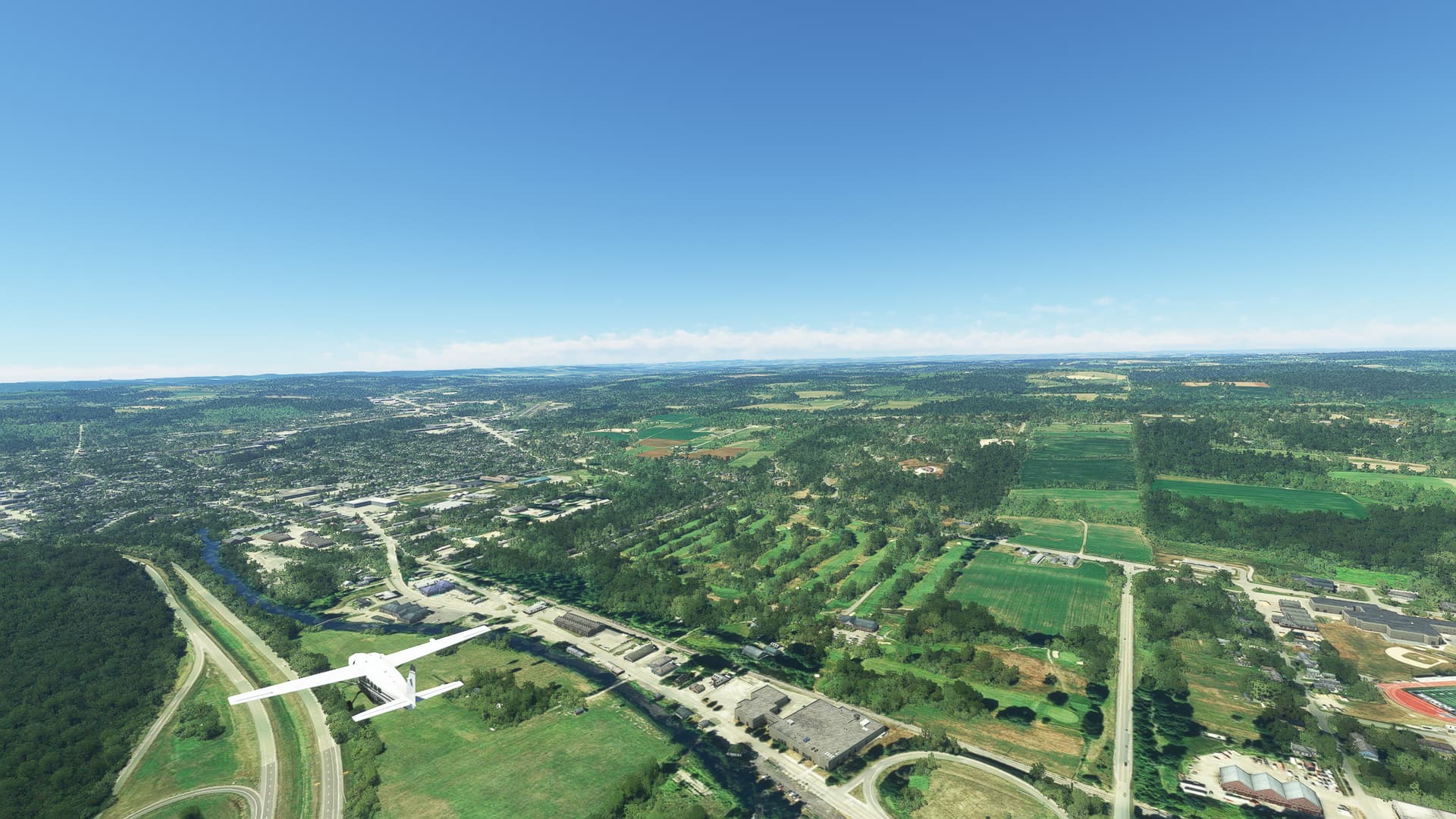
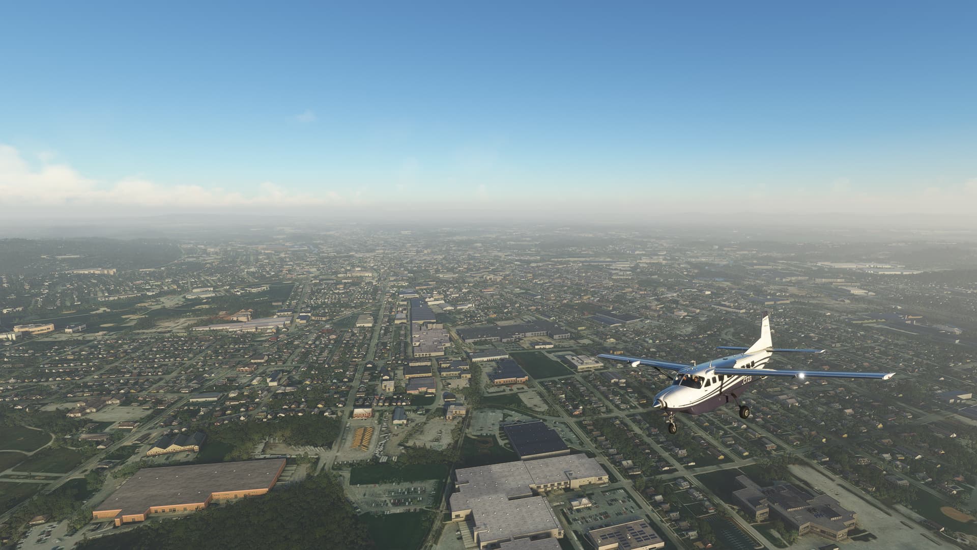
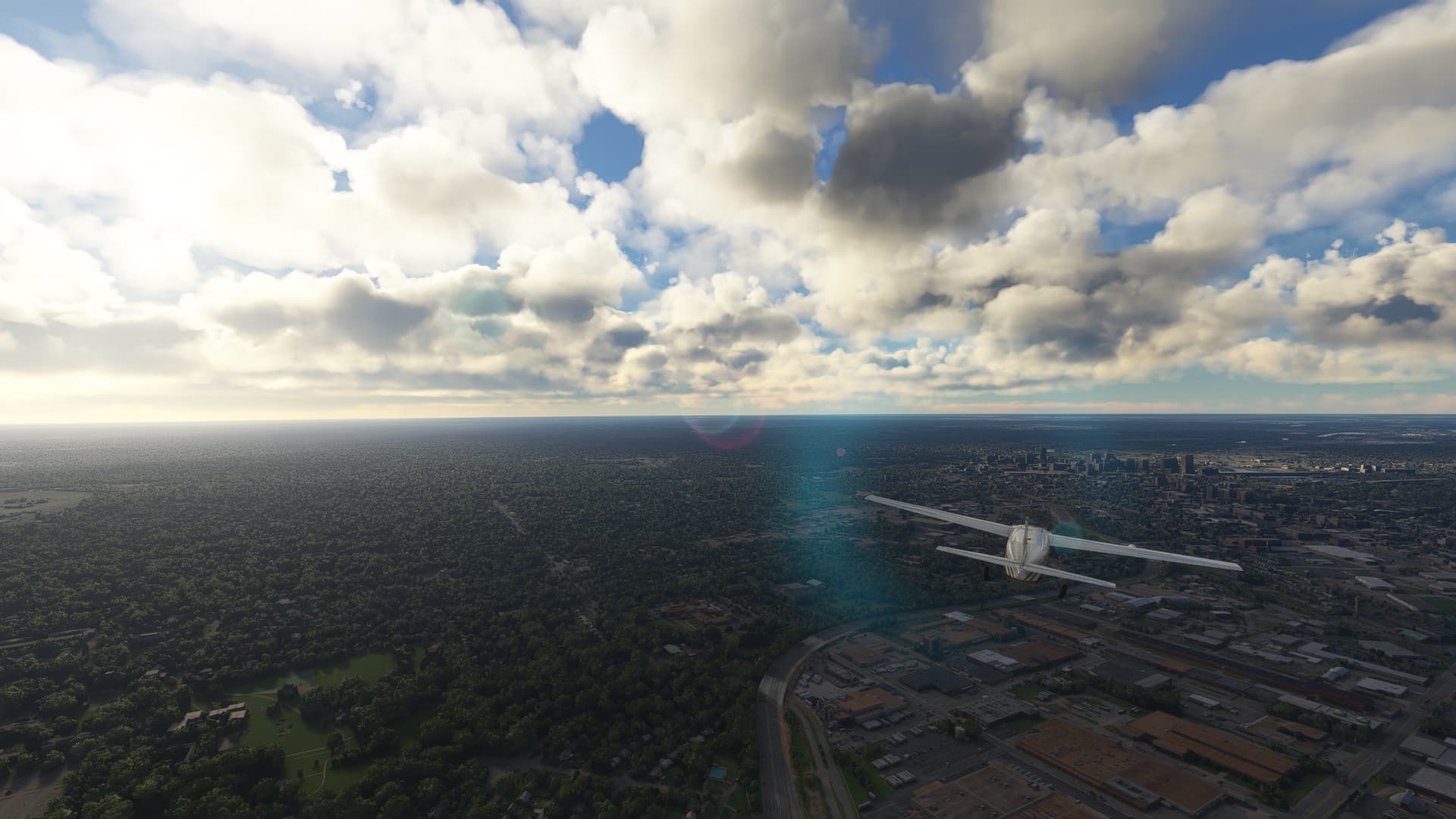
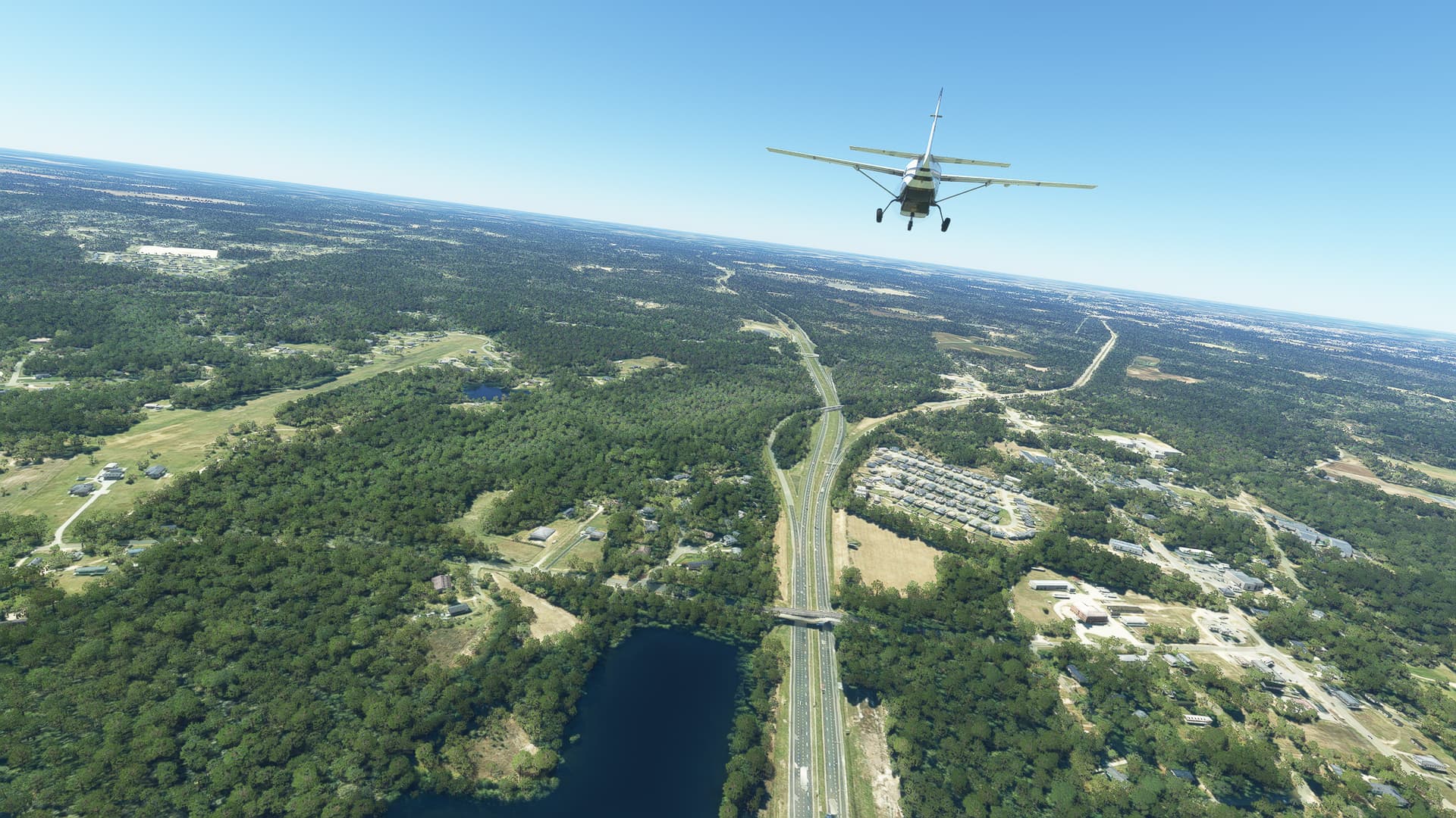
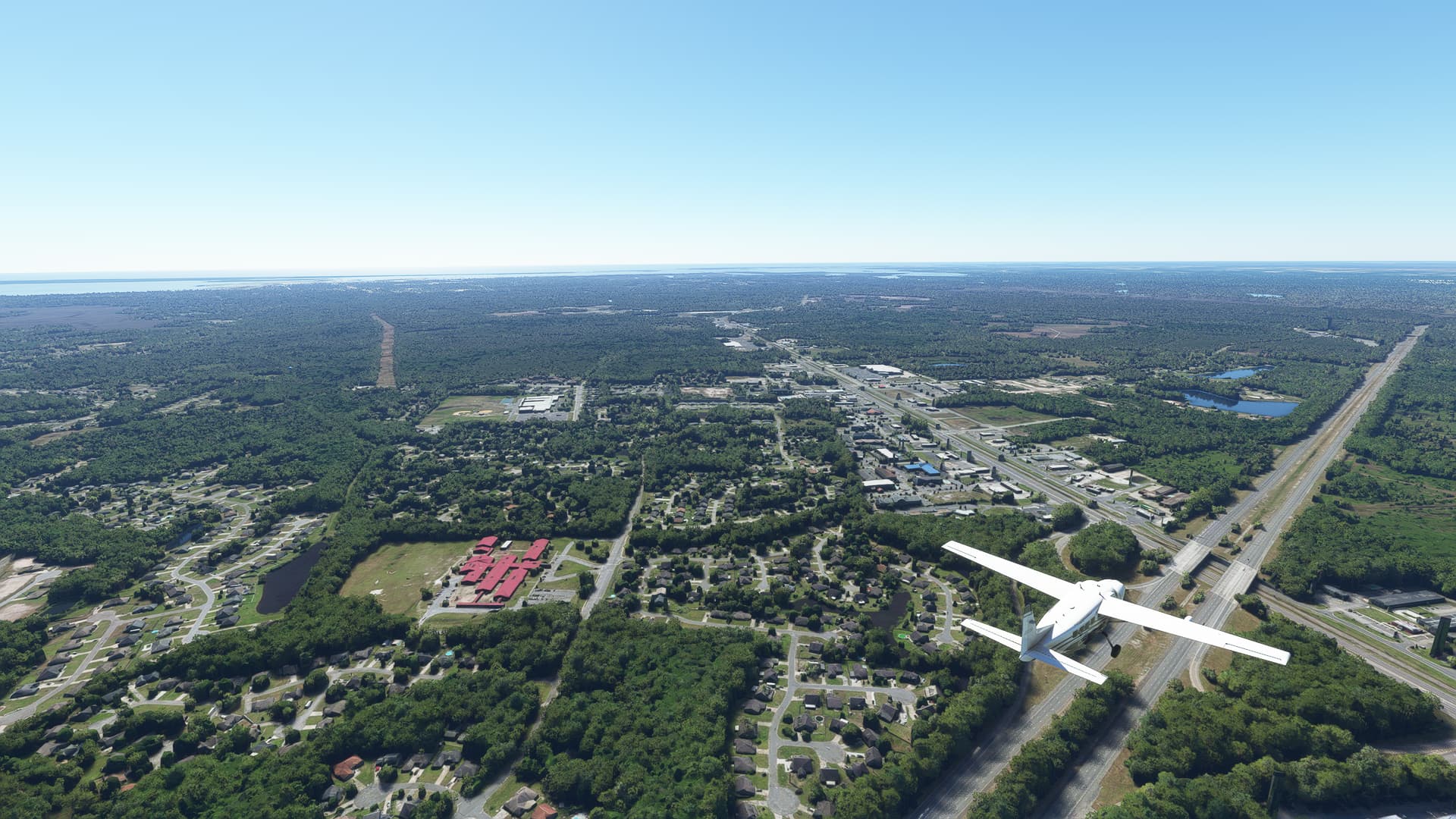
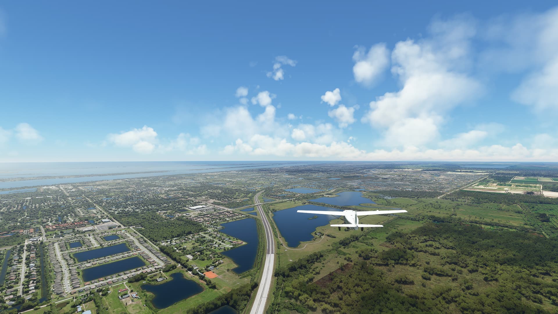
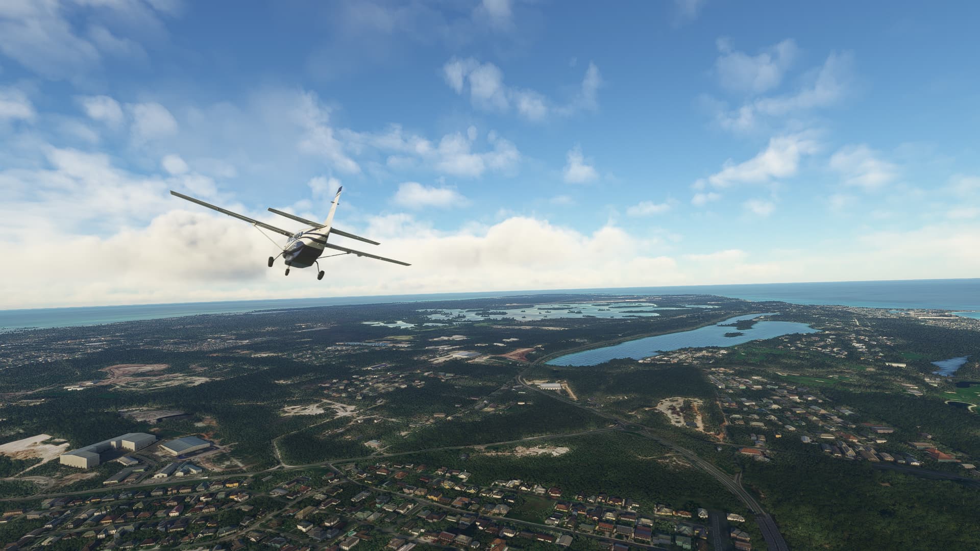
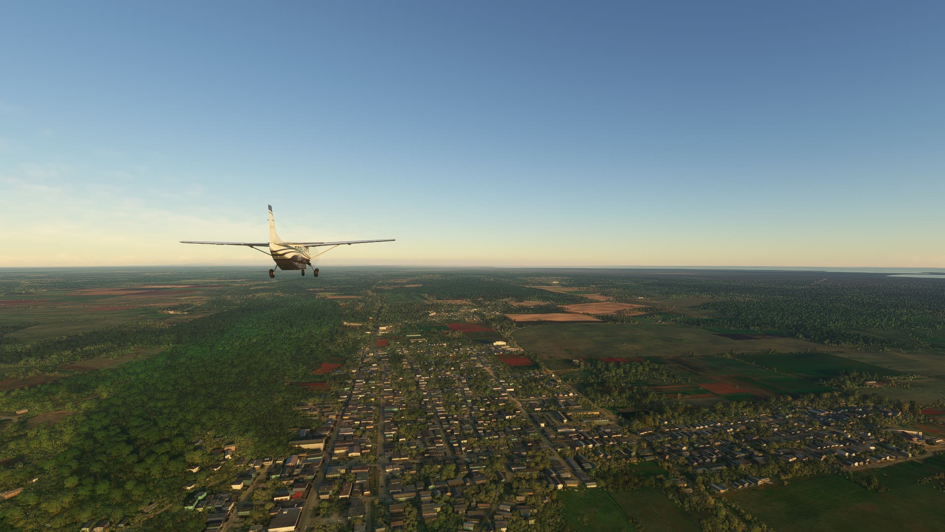
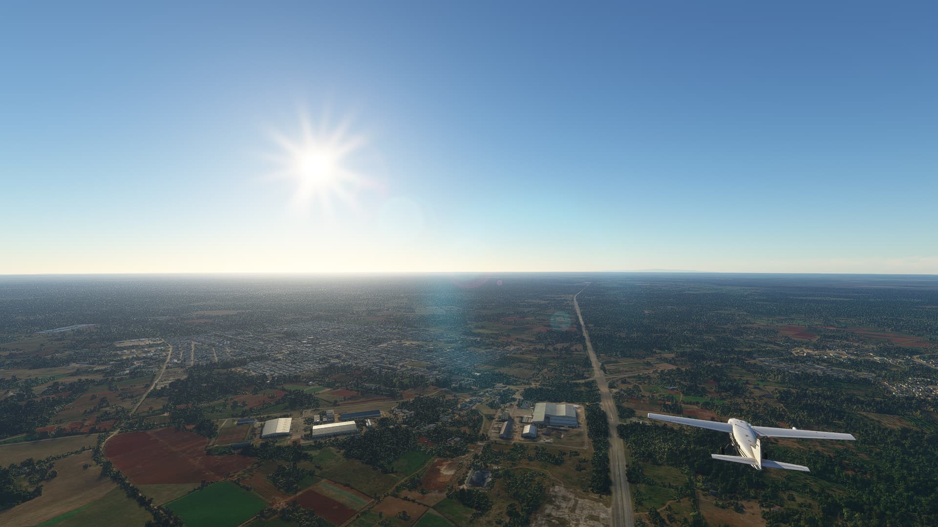
4. Harrisburg, Pennsylvania:
Welcome to the state capital of Pennsylvania on the banks of Susquehanna River! Harrisburg was founded as an trading post and provisioning stop and grew in importance during the Westward Expansion due to the river connecting it with the Eastern United States. Later it became one of the most heavily industrialized cities of the Eastern United States and even today it is listed as one of the best US cities to raise a family in.

5. York, Pennsylvania:
According to some this is the first true capital of the United States of America! York, formerly known as Yorktown, was where the Congress drafted the Articles of Confederation in 1778, often claimed to be the first legal document of the United States (depending on whether or not the Declaration of Independence is counted to the Thirteen Colonies or the US). Still it has an important place in early US history.

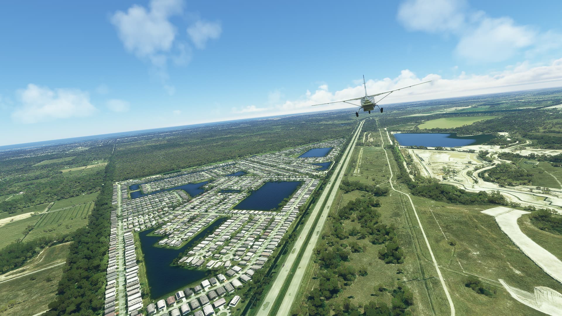
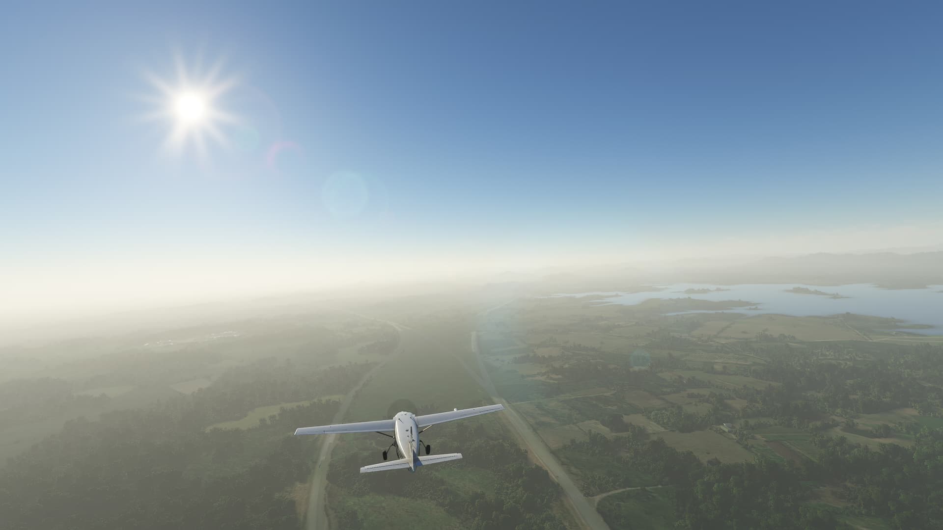
6. Marathon Farm, Maryland:
I could not find much about this place but apparently it is a horse-breeding ranch near the Pennsylvania-Maryland state border. Anyways, it is pretty so I took a shot - purely for the aesthetics!

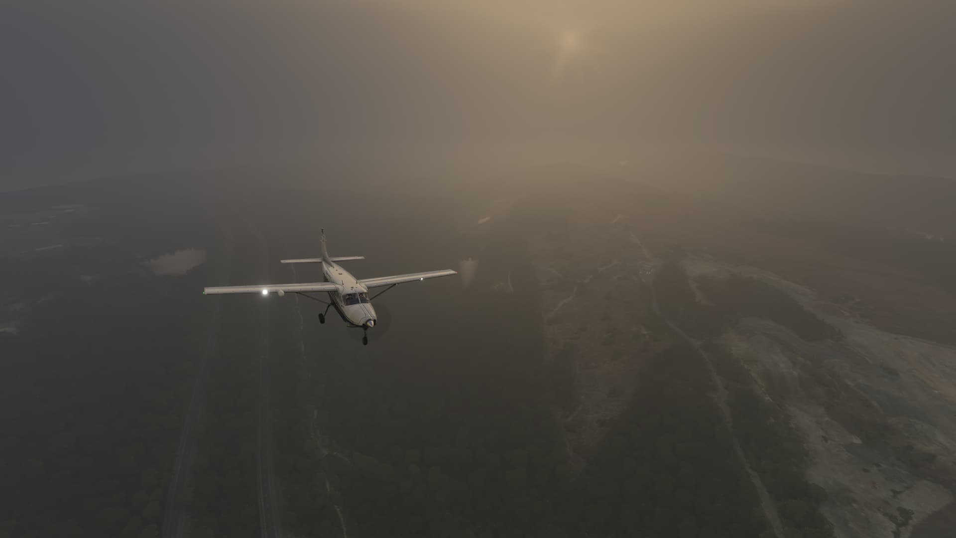
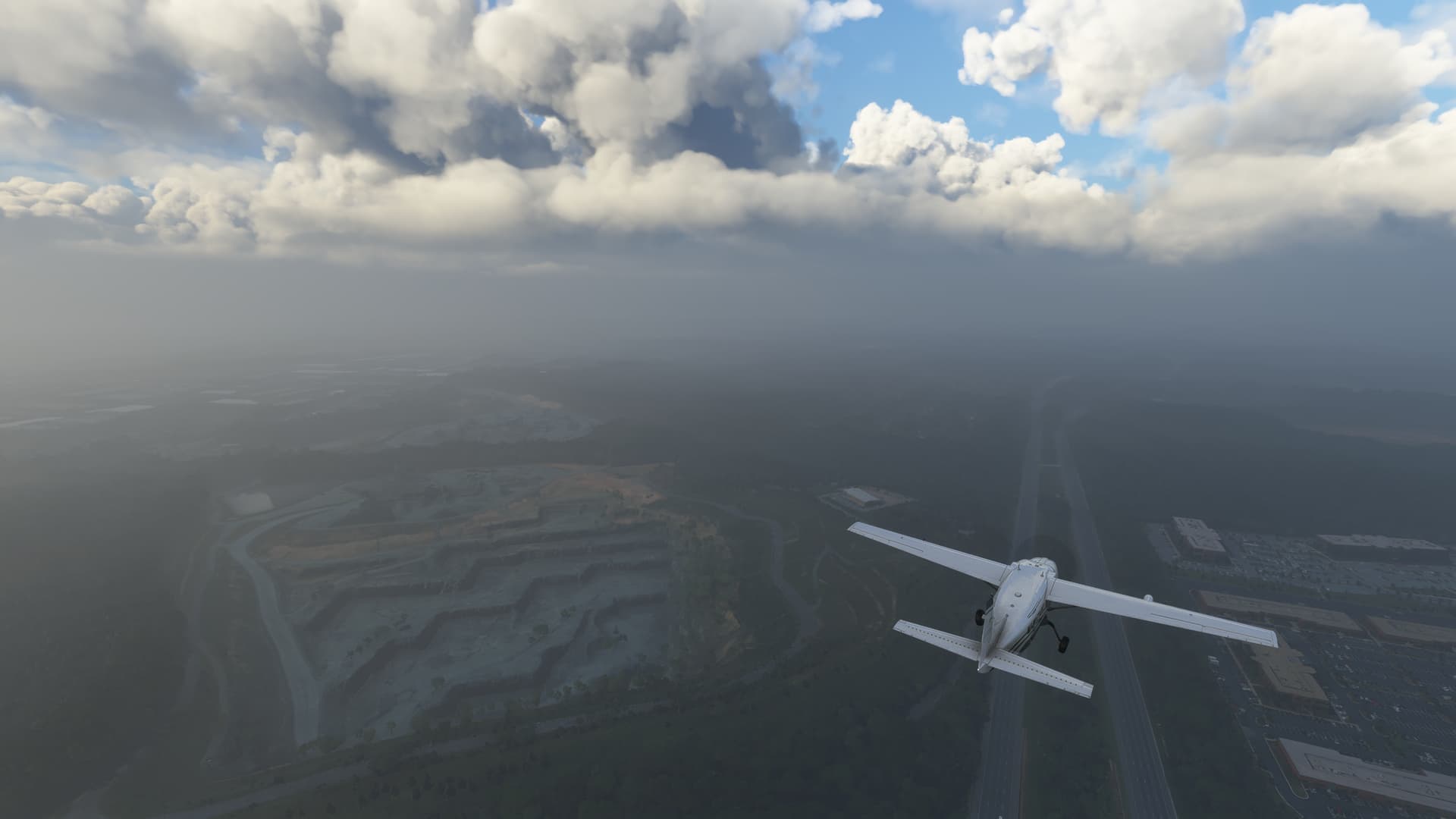
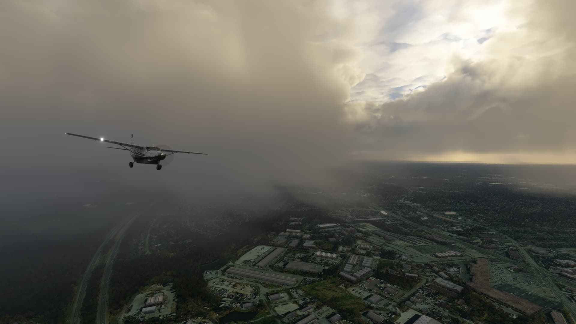
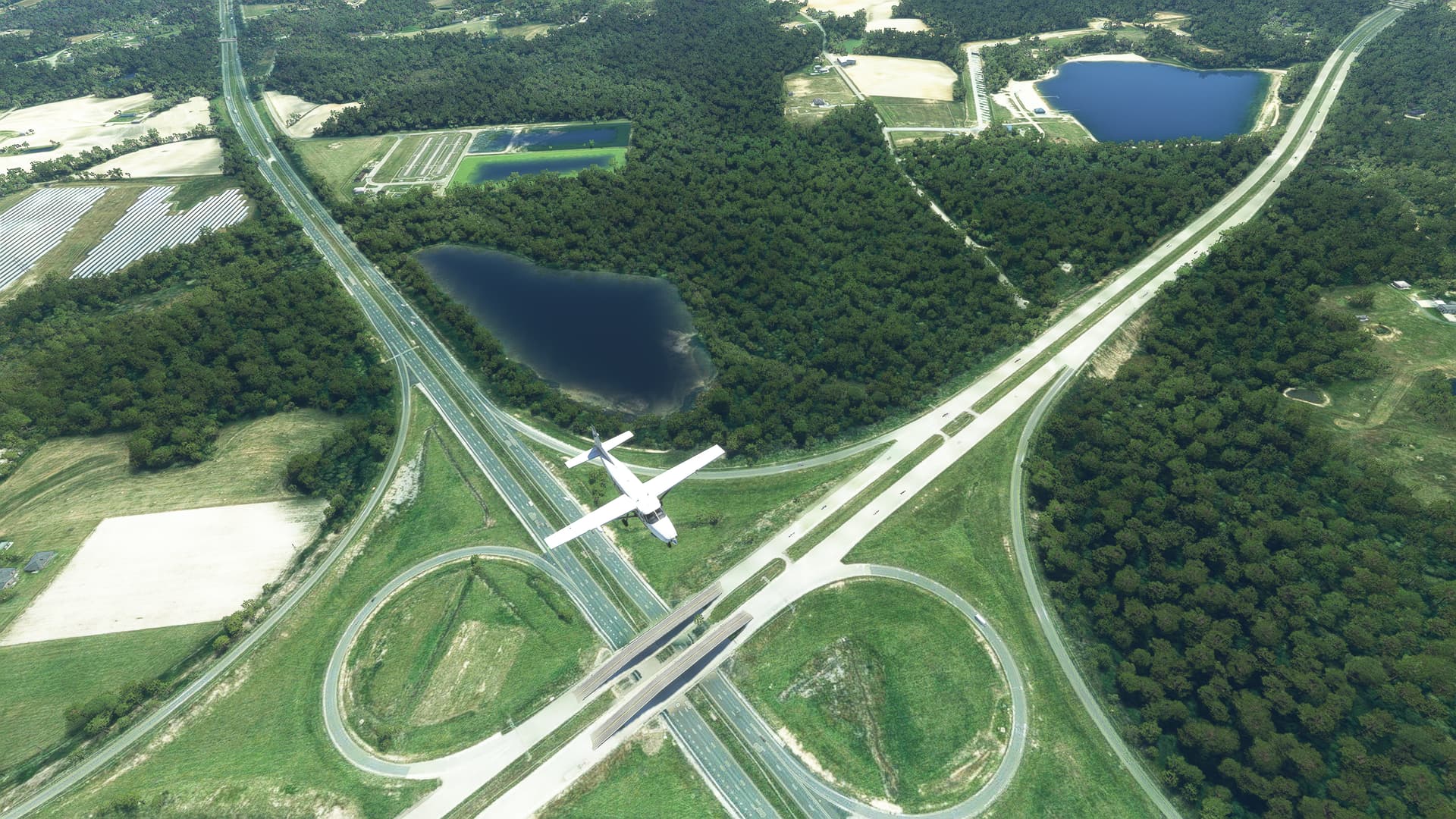
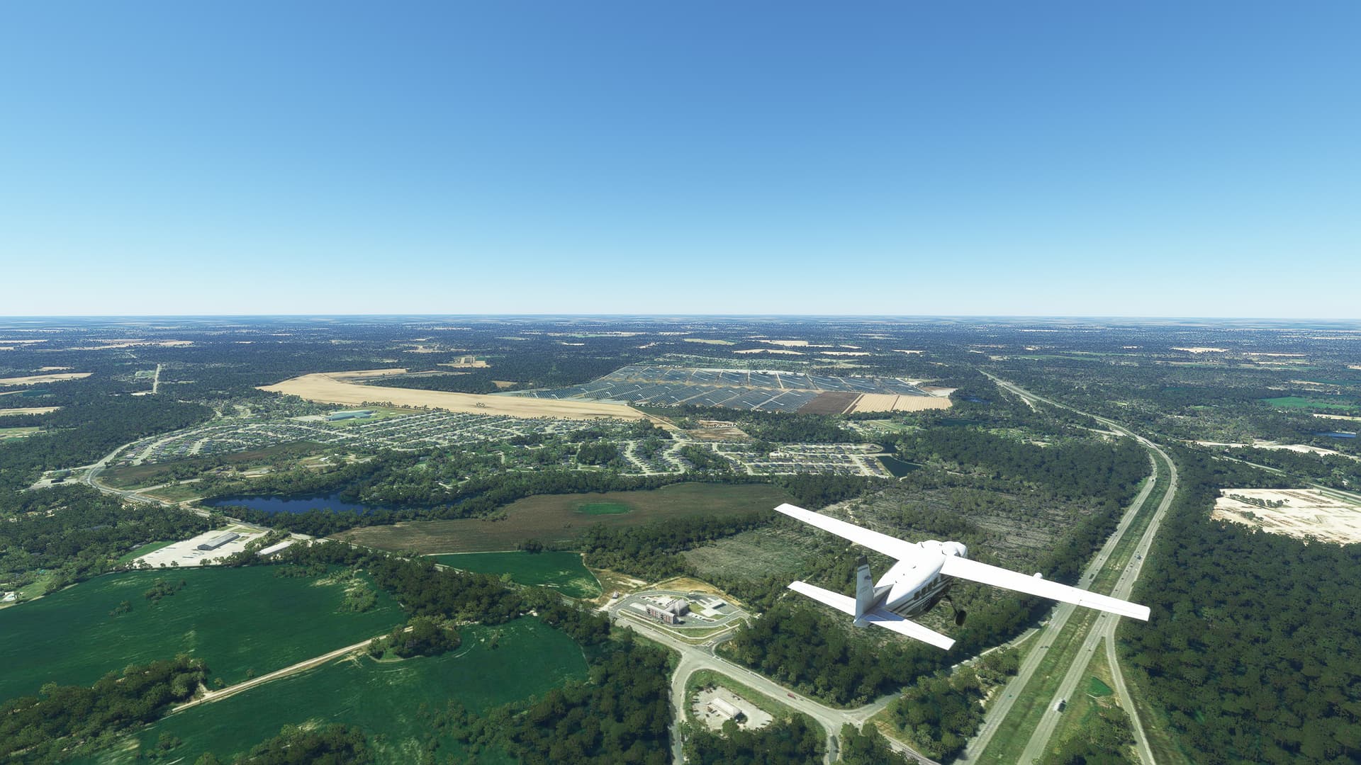
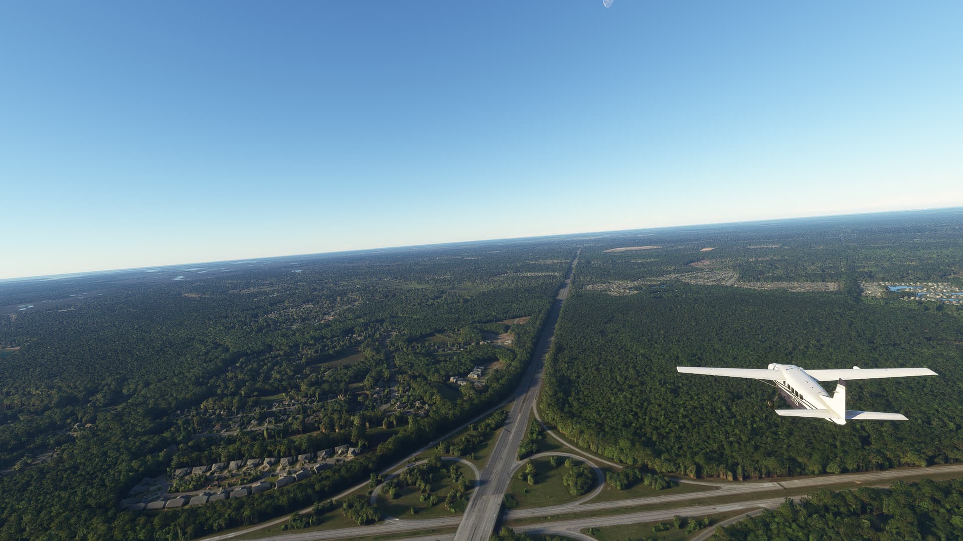
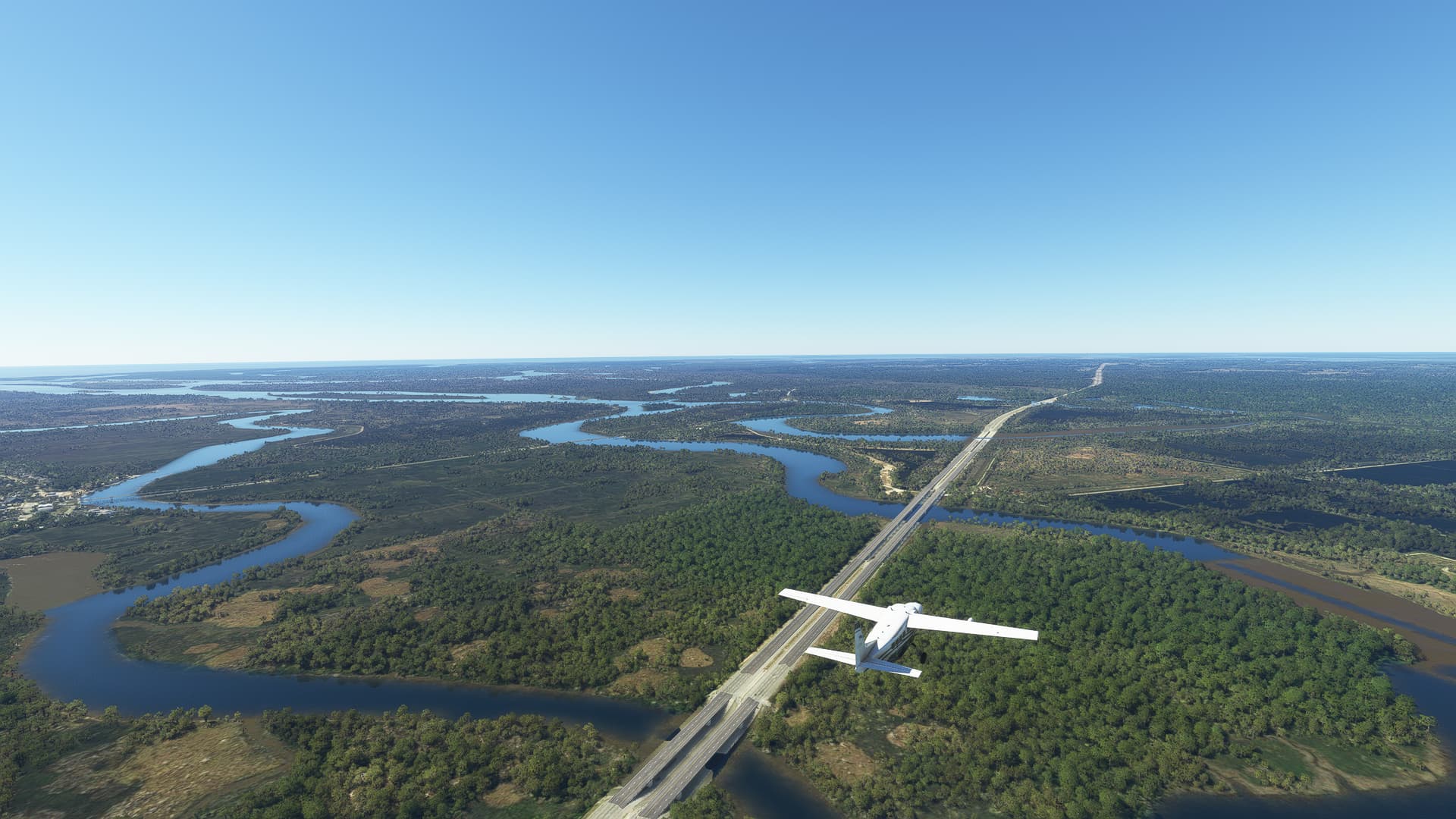
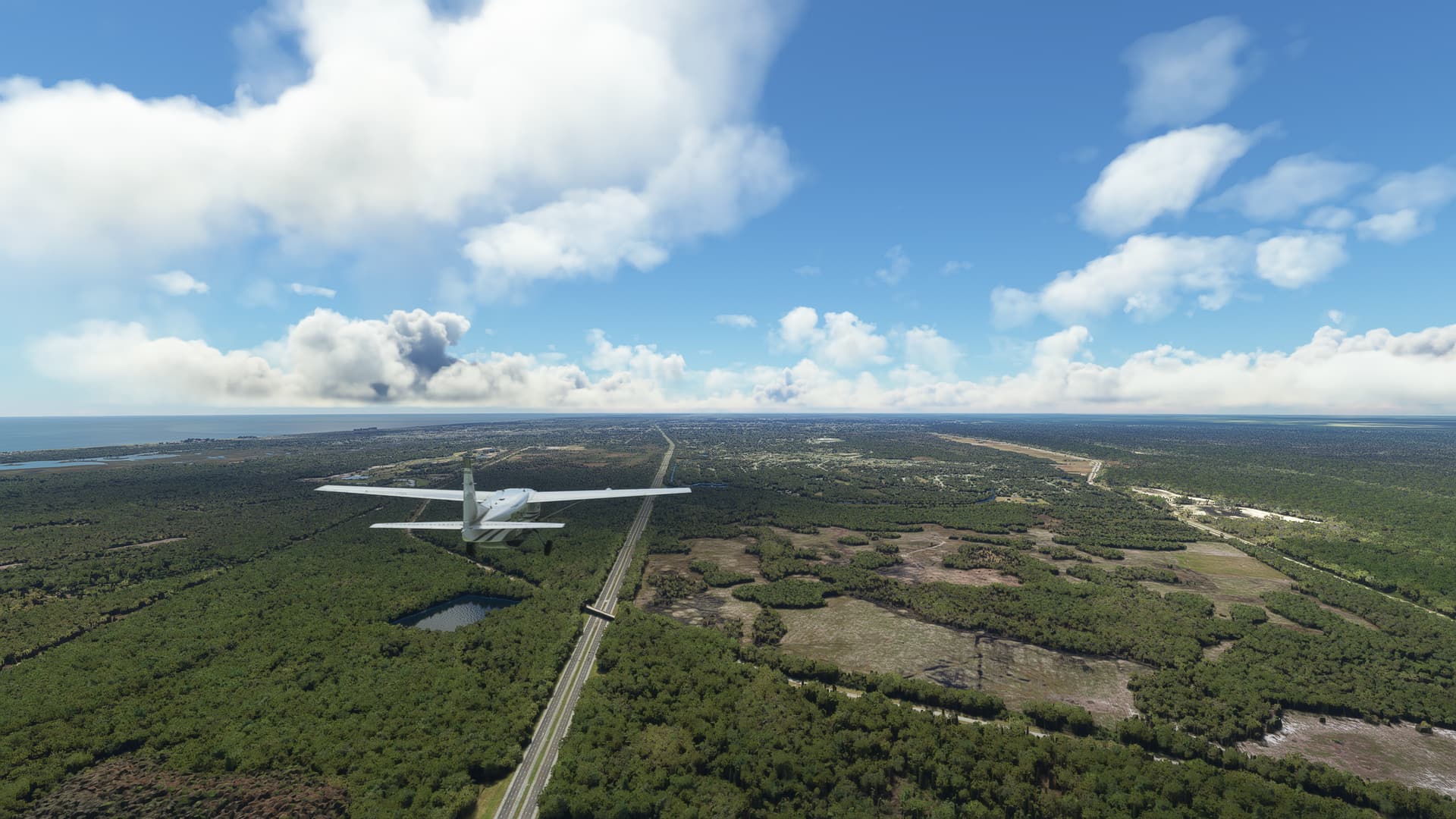
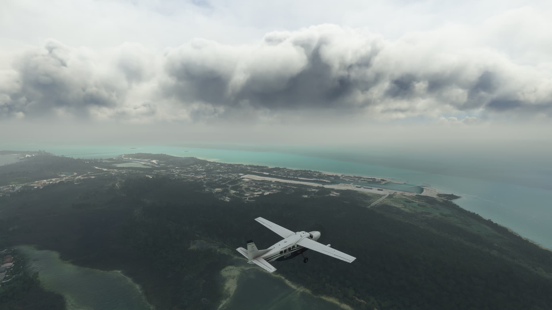
7. Savage Stone LLC, Maryland:
After seeing some interesting shapes in the fog south of Baltimore, Maryland I noticed that it was a large quarry full of dark grey rock. It turned out to be a granite quarry by the name of Savage Stone, directly south of I85 on the way to Washington D.C.

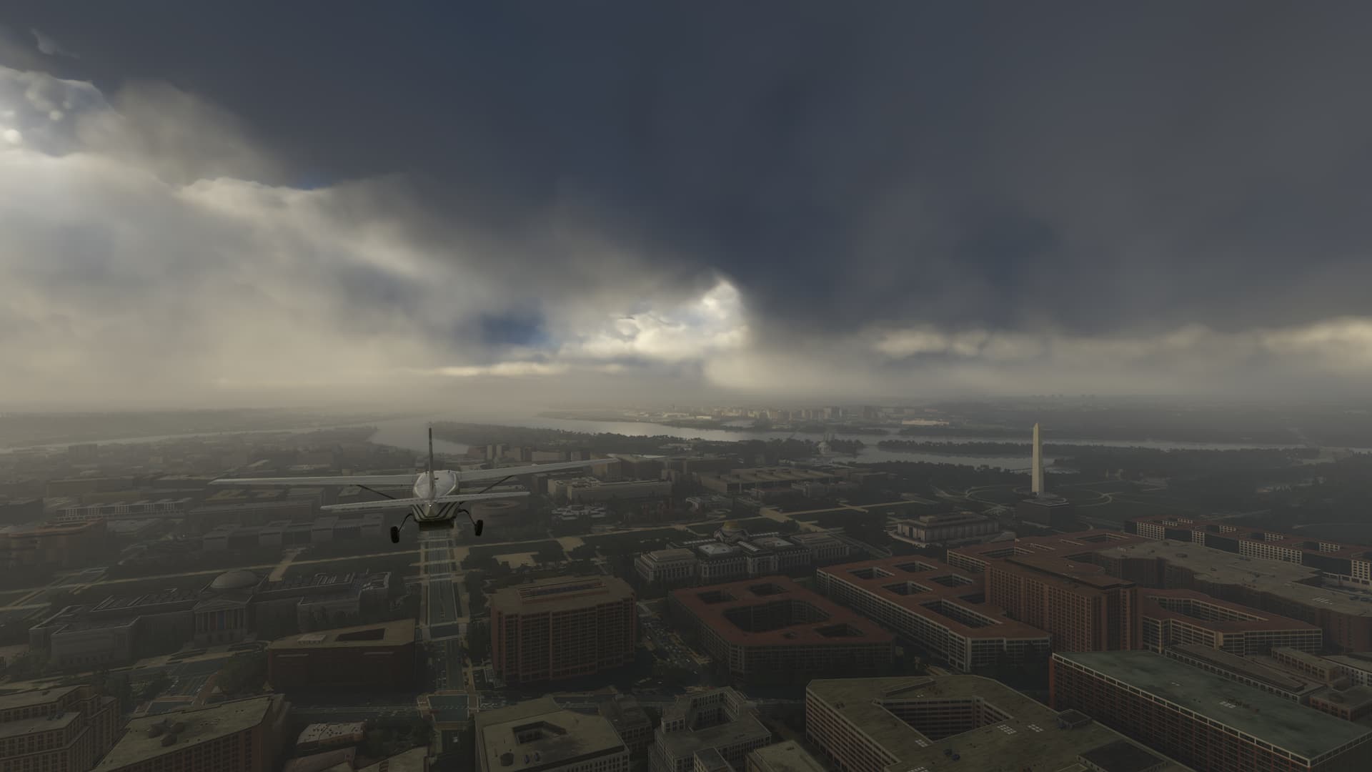
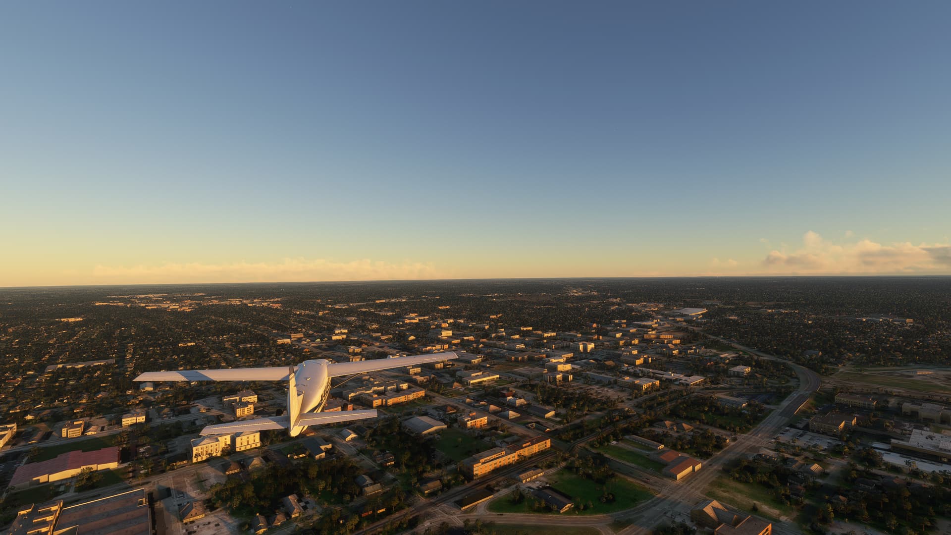
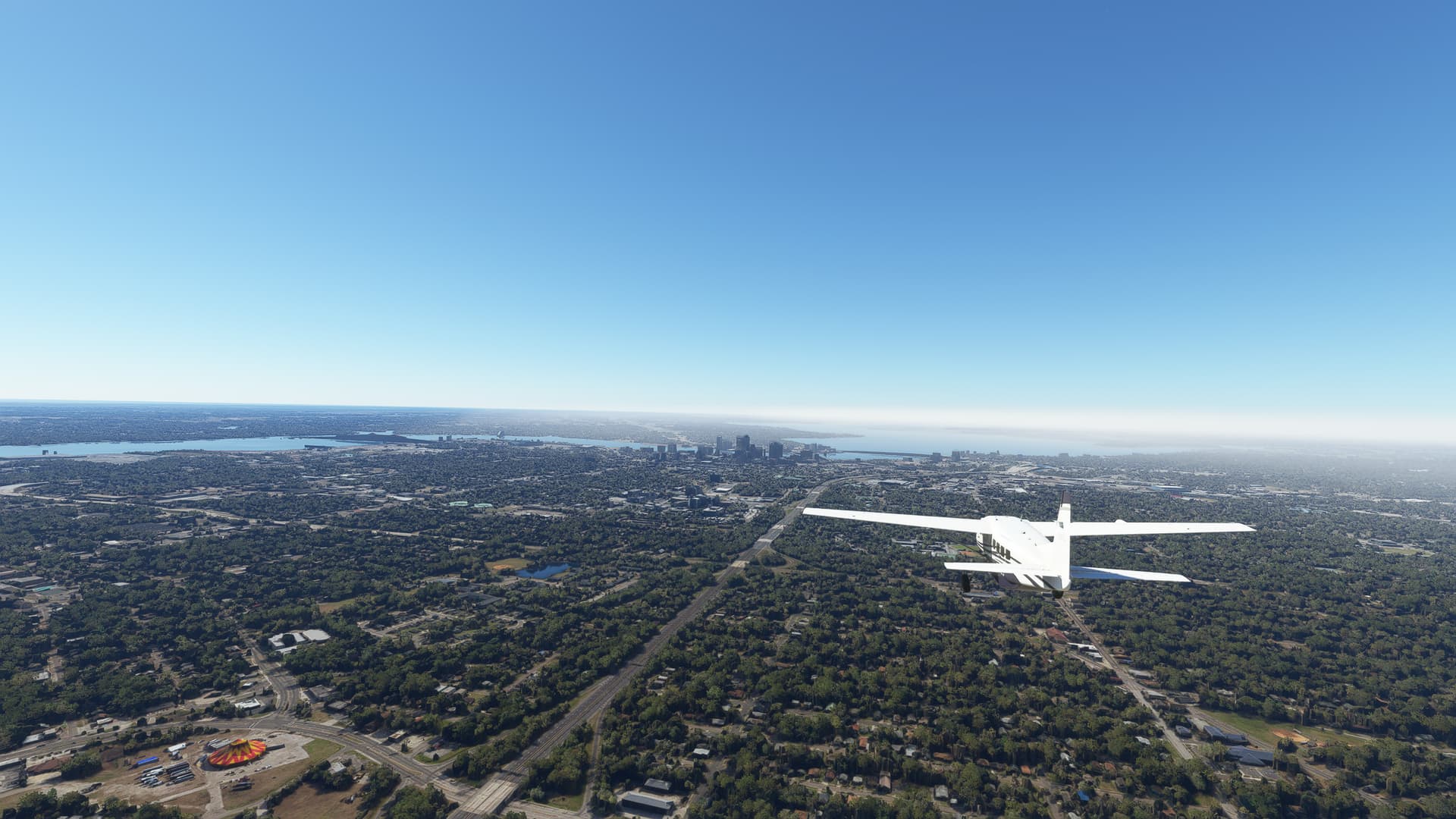
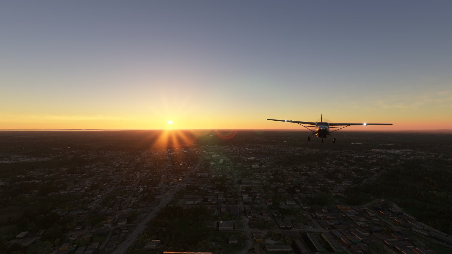
8. Washington D.C., District of Colombia:
We finally arrived in our second capital - Washington D.C. Coming in from the north along 7th Street we passed the White House and saw the Potomac River in front of us as well as the iconic Washington Monument on our right. From here our journey south will continue!

Washington D.C. (KDCA) → Rocky Mount (KRWI).

1. Newington, Virginia:
A small community near Springfield, Virginia which originated from a private estate and served as a minor railway station until 1971.

2. Aquia Creek, Virginia:
A tributary to Potomac River, Aquia Creek was a quarry site for sandstone from which many iconic buildings of Washington D.C. were constructed, e.g. the White House itself.

3. Fredericksburg, Virginia:
As Virginia’s main port during colonial times as well as a major battle site during the American Civil War, Fredericksburg played a big role in the history of the Eastern United States.

4. Richmond, Virginia:
Richmond is the capital of Virginia as well as the former capital for the Confederacy during the American Civil War, where it was severely damaged as retreating Confederate soldiers destroyed much of the local infrastructure to hamper approaching Union troops.

5. James River, Virginia:
Perhaps the most important river in Colonial history, James River served as the main lifeline of early Virginia, connecting the colony’s interior with the old cities of Jamestown and Williamsburg on the Atlantic coast.

6. Emporia, Virginia:
Named after Emporia, Kansas, this city in southern Virginia developed during a short-lived railroad boom before losing much of its population a few years later in the “Panic of 1893”.

7. Roanoke Rapids, North Carolina:
Roanoke Rapids, North Carolina is a former factory town, known for its paper mills. After these mills shut down and cost 3,000 workers their jobs, a pulp and paper company replaced them as the main employer in the area.

8. Dortches, North Carolina:
A small town north of Rocky Mount, North Carolina. In the city of Rocky Mount multiple famous acts of Afro-American activism took place during the 1900s, striking out against segregation and institutional racism.

Rocky Mount (KRWI) → Florence (KFLO).

1. Wilson County, North Carolina:
Formerly consisting of four separate counties, Wilson County was created in 1855 and named after a US Volunteer Colonel of the Mexican-American War.

2. Crossing Interstate (I-)40:
Interstate 40 is the third-longest highway of the Interstate system, stretching over 4,114 kilometres from California to North Carolina. It crosses I-95 near Benson, North Carolina.

3. Fayetteville, North Carolina:
Once a settlement of Gaelic highlanders the region around modern-day Fayetteville remained largely loyal during the Revolutionary War and had to be pacified by the Continental Army. After the war a new city was formed from the different townships and named after French war hero, Marquis de Lafayette.

4. Innovative Solar 46, North Carolina:
A solar power plant in Cumberland County, North Carolina, just south of Fayetteville.

5. Lumberton, North Carolina:
This city was founded as a lumberyard for the US Navy, since the lumber could be easily shipped down Lumber River to Georgetown, South Carolina. In turn most other goods were shipped upstream from the same port.

6. Little Pee Dee River, South Carolina:
A tributary to Pee Dee River, named after the indigenious Pee Dee Tribe, Little Pee Dee River is a slow-moving blackwater from the Appalachians which passes through multiple swamp areas and several lakes on its way south.

Florence (KFLO) → Hunter AAF (KSVN).

1. Florence, South Carolina:
The city of Florence, South Carolina was founded after the American Civil War as a major railroad hub, connecting three rail systems of the Eastern United States to eachother.

2. Lake Marion, South Carolina:
Also known as “South Carolina’s Inland Sea”, Lake Marion is the largest man-made lake in South Carolina. It was originally built to provide hydroelectric power for the rural electrification efforts of the Roosevelt government during the 1930s.

3. Edisto River, South Carolina:
Edisto River is the longest blackwater river in the entire United States, originating in the Sandhills of South Carolina and meandering steadily towards the Atlantic Ocean.

4. Landscape in South Carolina:
An impression of the beautiful landscape north of Yennassee, South Carolina. A truck stop can be spotted in the distance.

5. Savannah River, South Carolina - Georgia State Border:
Formerly known as Westoboe River (after the Westo tribe) the name was changed into Savannah River after a Shawnee sub-tribe, which was armed and advised by British settlers, destroyed the Westo and conquered their riverside territories in the late 17th century.

6. Suburbs of Savannah, Georgia:
Savannah, Georgia was for a long period of time the southernmost port of the United States and therefore a precious treasure for anyone controlling it. Therefore it was a major objective for both sides in both the Revolutionary War as well as the American Civil War.

Hunter AAF (KSVN) → Northeast Florida Regional (KSGJ).

FYI: I decided to stop with the information text for a while. If you like them and want them back, please inform me so I can switch it back.

1. Buttermilk Sound near Midway, Georgia.

2. Crossing Darien River near Darien, Georgia (left).

3. Crossing White Oak Creek in Ceylon Wildlife Management Area, Georgia.

4. The Isles area in Kingsland, Georgia.

5. Entering Jacksonville, Florida on I-95.

6. Bartram Springs, Florida.

Northeast Florida Regional (KSGJ) → Treasure Coast International (KFPR).

1. Vermont Heights, Florida in St. Johns County.

2. Guana Tolomato Matanzas National Estuarine Research Reserve (GTM Research Reserve), Florida.

3. Ormond Beach and Daytona Beach, Florida.

4. Space Coast region near Westover, Florida.

5. Entering Viera, Florida.

6. Palm Bay, Florida.

7. Spanish Lakes Fairways, Florida.

Treasure Coast International (KFPR) → Deep Water Cay (MYXZ).

1. Fort Pierce, Florida with Spoil Island 17 (bottom).

2. Hutchinson Island, Florida.

3. Arrival in West End on Grand Bahama.

4. Freeport Container Terminal on Grand Bahama.

5. Bahamia suburb of Freeport.

6. Landscape near High Rock.

Deep Water Cay (MYXZ) → Nassau (MYNN).

1. Sunrise over the East Grand Bahama Protected Area.

2. Top Cay (right) and Southern Cay (center) near Moore’s Island.

3. Castaway Cay in the distance.

4. Lake Killarney on New Providence.

Nassau (MYNN) → Sagua La Grande (MUSG).

1. Coral Lakes near Nassau.

2. Crab Replenishment Reserve on North Andros.

3. Pat Cay in the Andros Archipelago.

4. Yellow Cay in the western part of Andros Archipelago.

5. Arriving in Cuba at Cayos Pajonal.

6. Arriving on the main island of Cuba near Playa El Uvero.

Sagua La Grande (MUSG) → La Habana (MULB).

1. Sunrise at Sagua la Grande, Villa Clara Province.

2. Sierra Morena, Villa Clara Province.

3. Martí, Matanzas Province.

4. Cárdenas, Matanzas Province.

5. The Bahia de Matanzas.

6. Santa Cruz del Norte, Mayabeque Province.

7. The Cuban capital of La Habana.

La Habana (MULB) → Santa Clara (MUSC).

Summary: After our westward excursion to La Habana we set out east towards Santiago de Cuba. It was a good flight although I had to deal with these annoying texture loading issues which might be seen in some of the pictures. Fun fact - we are right now just 19nm south of Sagua La Grande, where we started out yesterday!

1. Southern districts of La Habana.

2. The Embalse Mampostón to the east of San José de Las Lajas, Mayabeque Province.

3. Center-pivot irrigation systems near Nueva Paz, Mayabeque Province.

4. Jagüey Grande, Matanzas Province.

5. North of Embalse Palmarito near Santa Clara, Villa Clara Province.