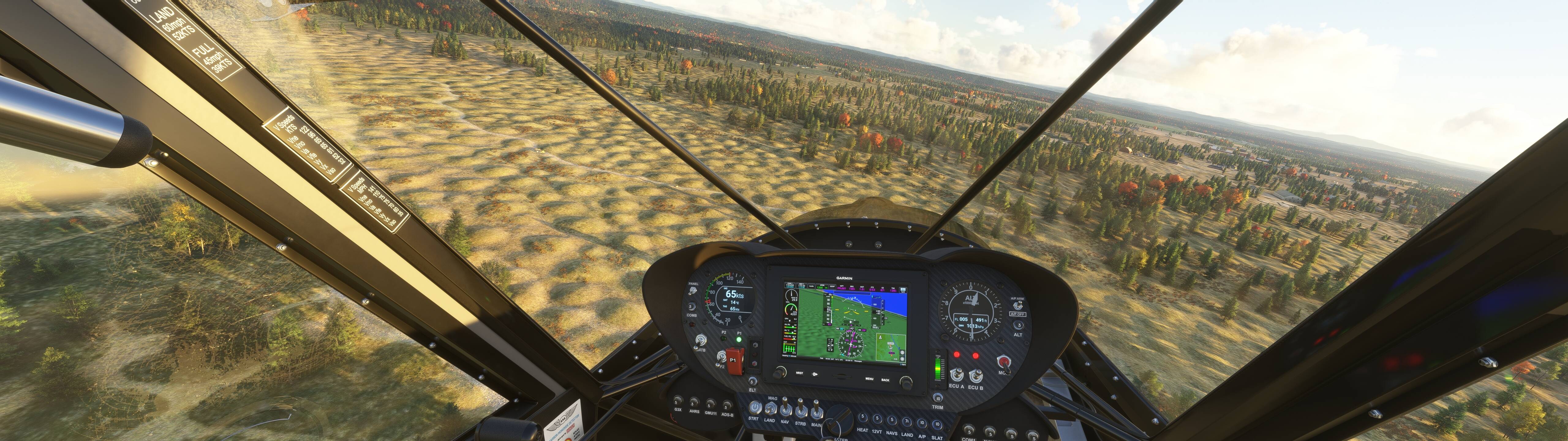
The MSFS engine is kind of mind-boggling in how well it renders the entiretly of the surface of our planet. I watched a PBS short on Washington’s state’s mima mounds on YouTube and looked up the coordinates, started a flight there, and there they are.
Inspired by that, I remember discovering the Nebraska Sandhills on a cross-country flight last year and being amazed at these “dunes” in the middle of rural nowhere. So looked up the GPS coordinates, plugged them in, and sure enough!
Super cool! I wasn’t surprised to see the Nebraska Sandhills, because they’re huge (shots are from 30,000 feet), but the Washington mima mounds are pretty small, so it was impressive to see the level of terrain detail. A far cry from when we used to download Space Shuttle radar mapping DEMs for FSX!
What cool natural terrain have y’all found in the sim? Please share!
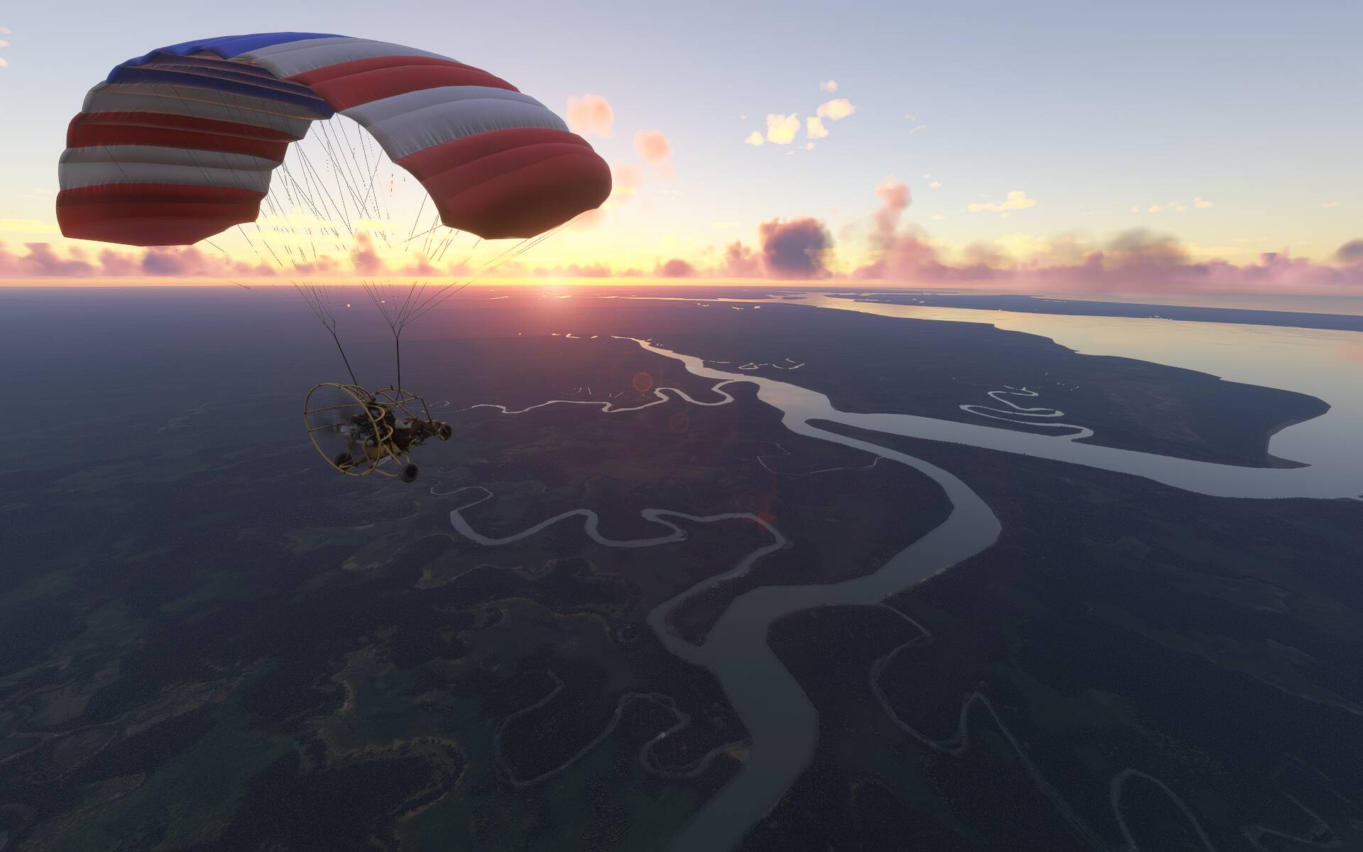
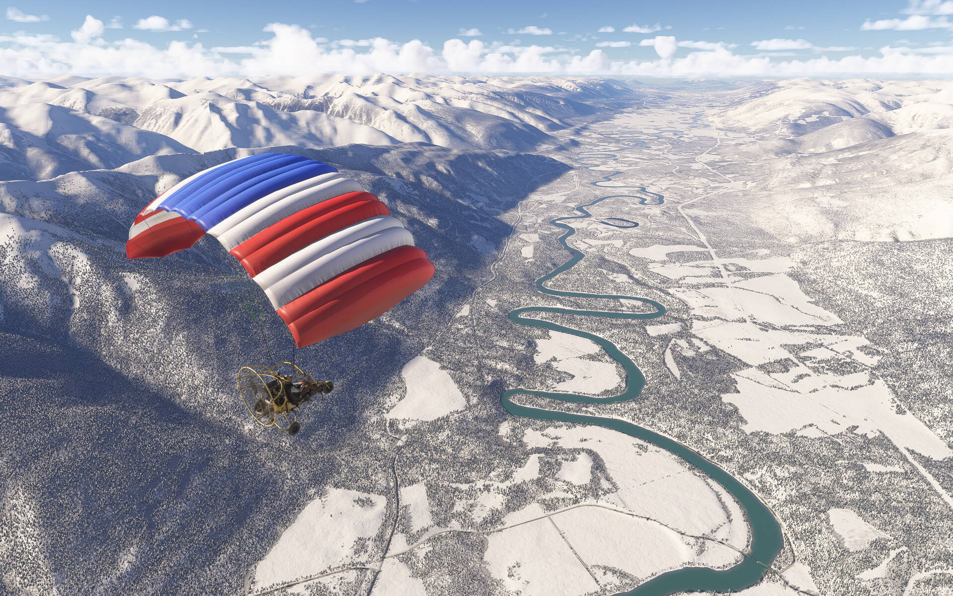
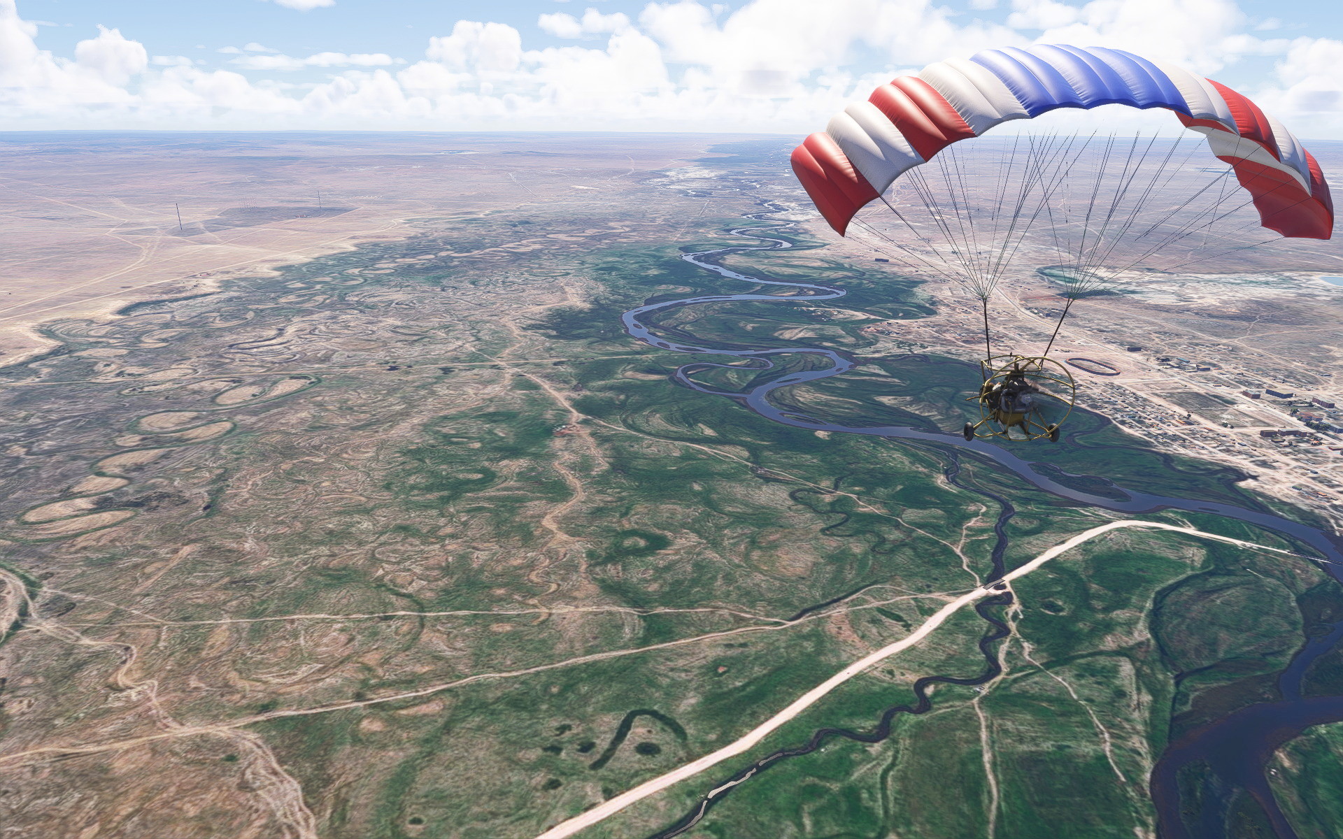
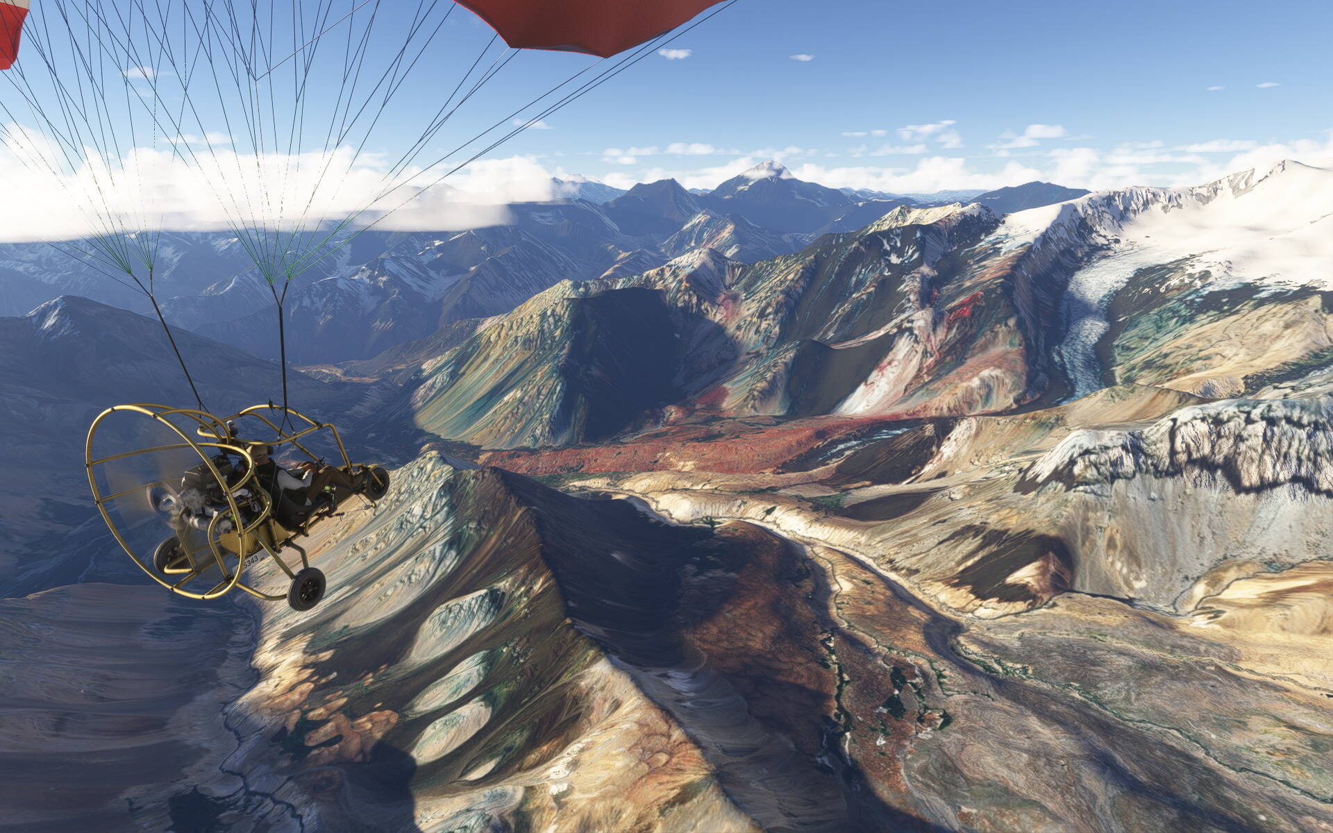
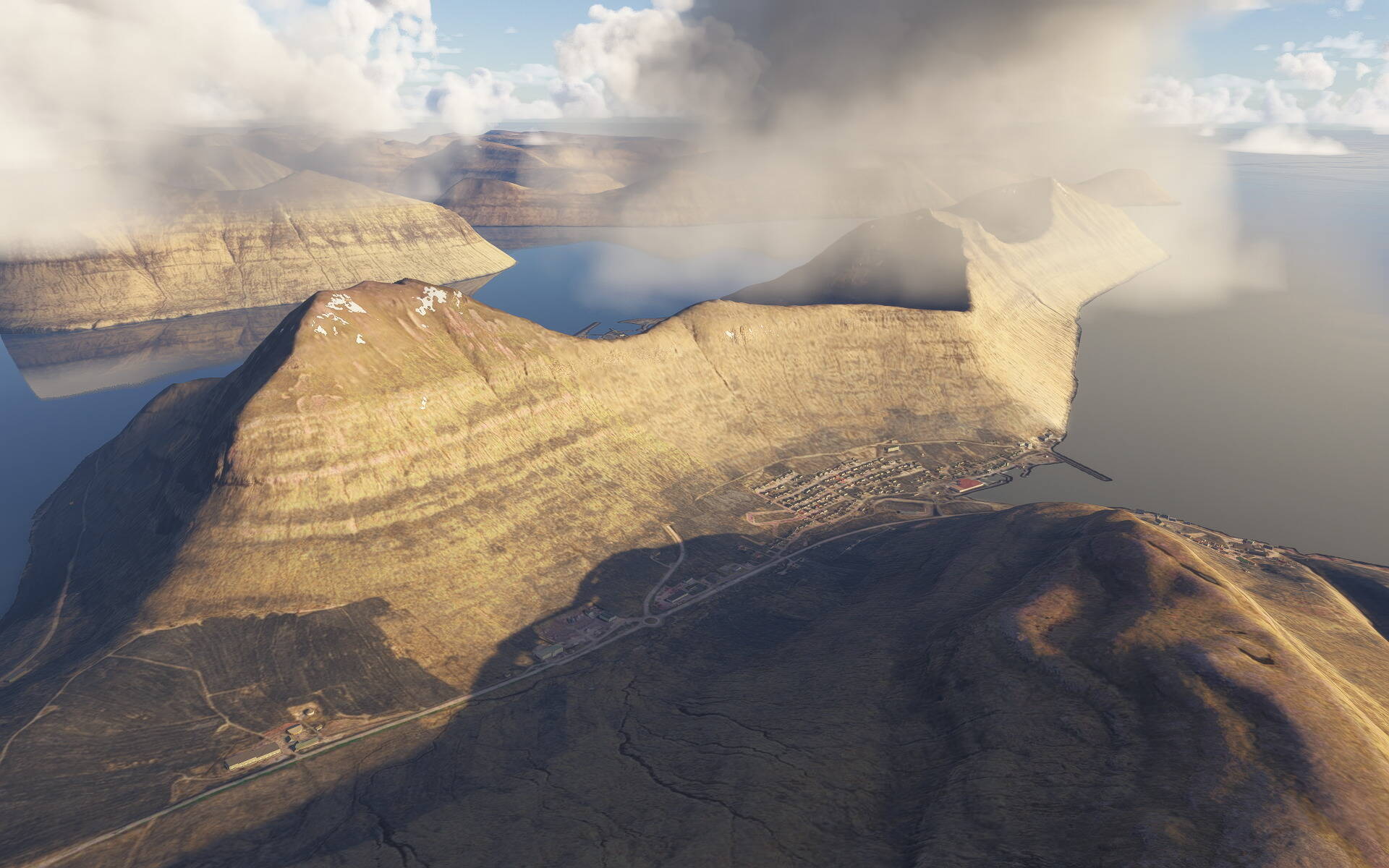
Actually I’v collected scenic or intersting places all over the globe during the last year. I can’t post them all here, it’s way too many, but maybe a small selection. I’ll try to give the place name or region if I still know. (I didn’t label them during the flight.)
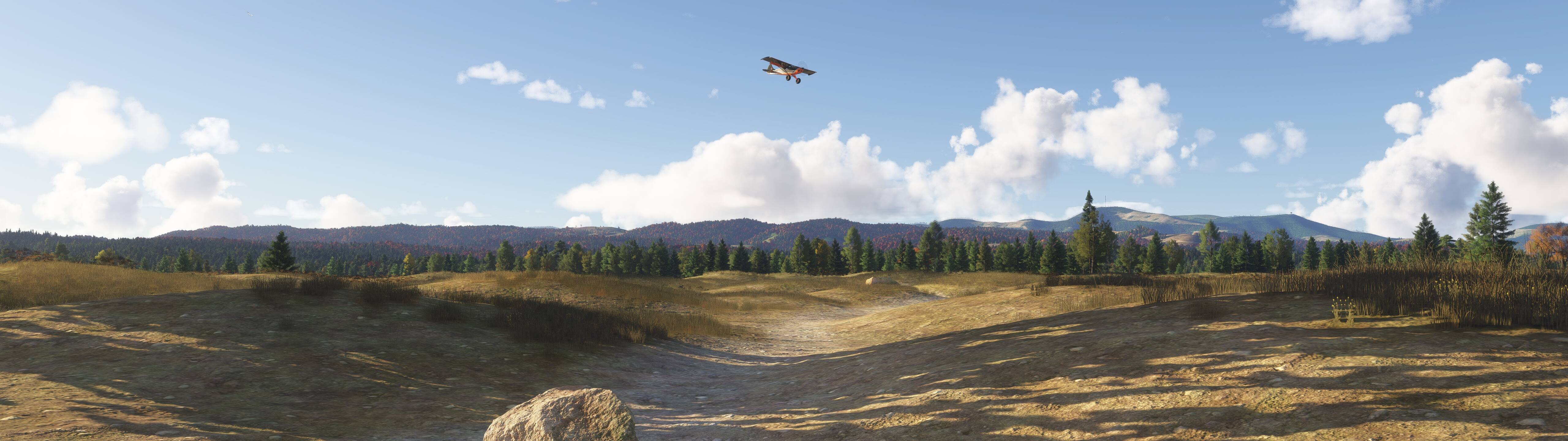
Oh, and sure I am aware that it is unrealistic to fly in some places with the Powrachute Sky Rascal but I’m not trying to be realistic here. This is just fun flying.
Masherbrum and Baltoro glacier, Himalaya, Pakistan (not far from K2 actually)