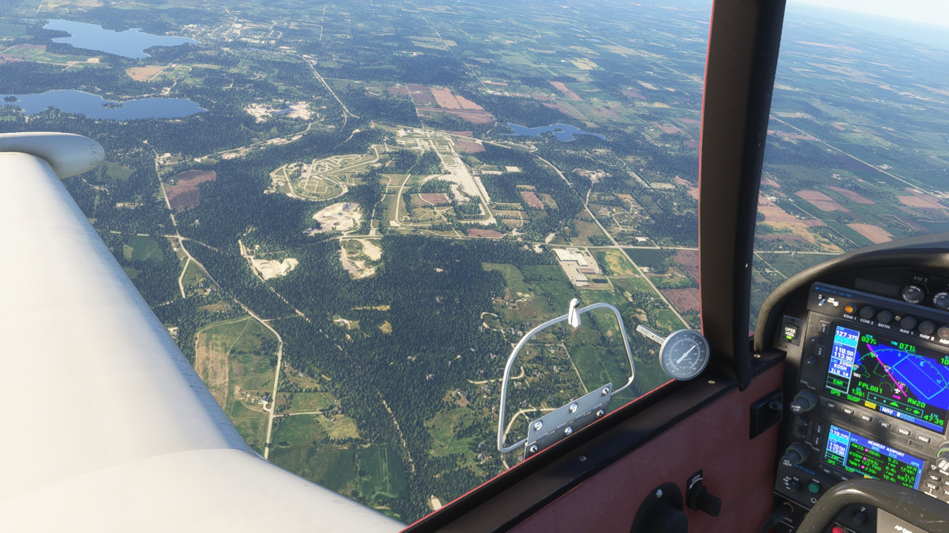
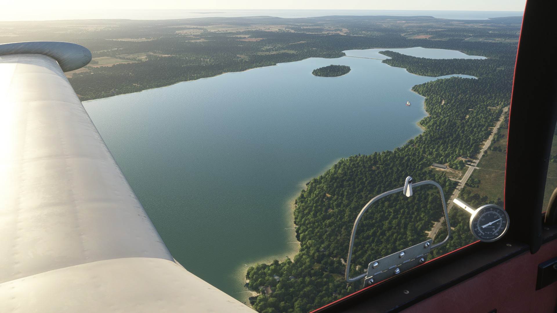
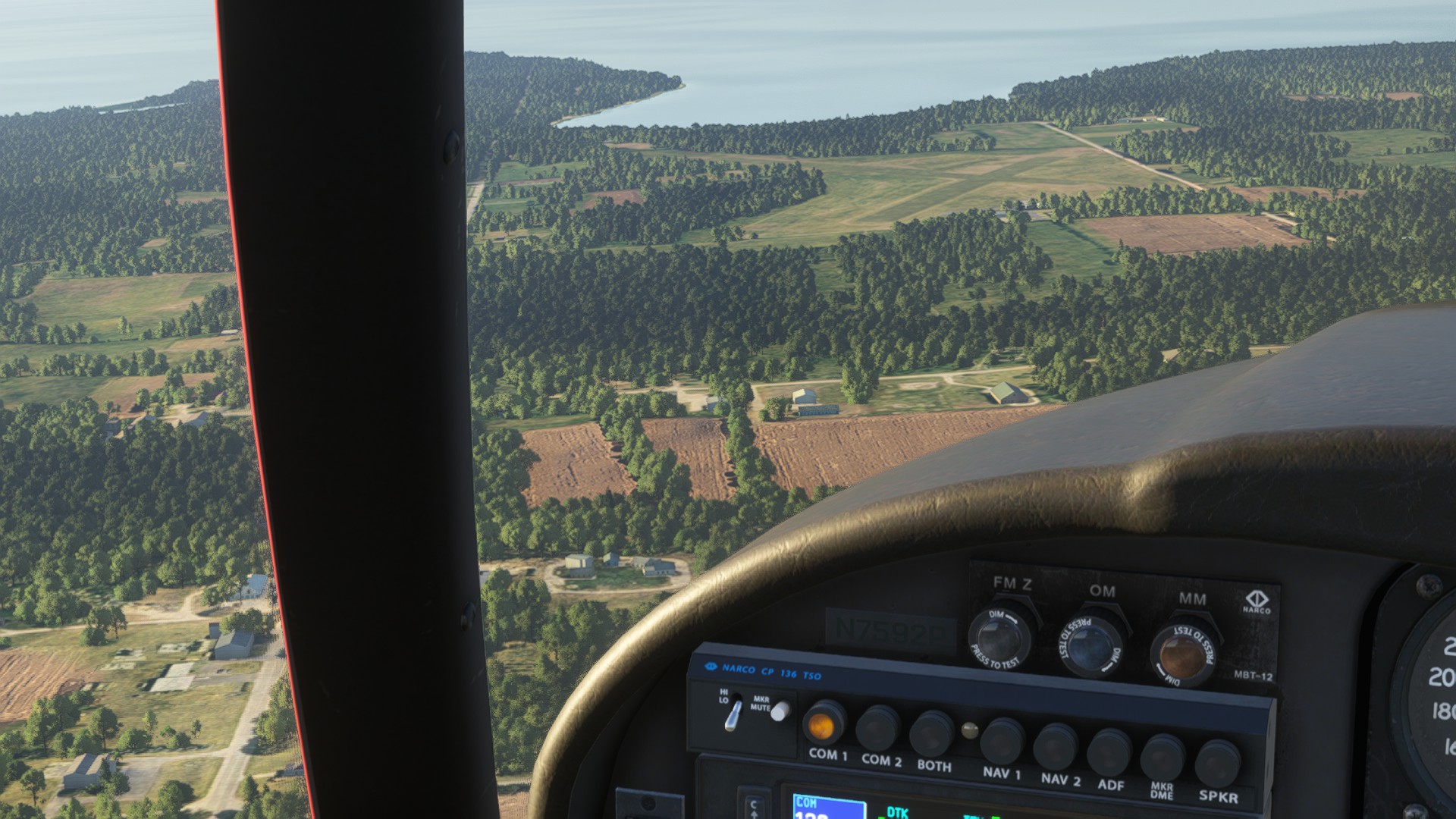
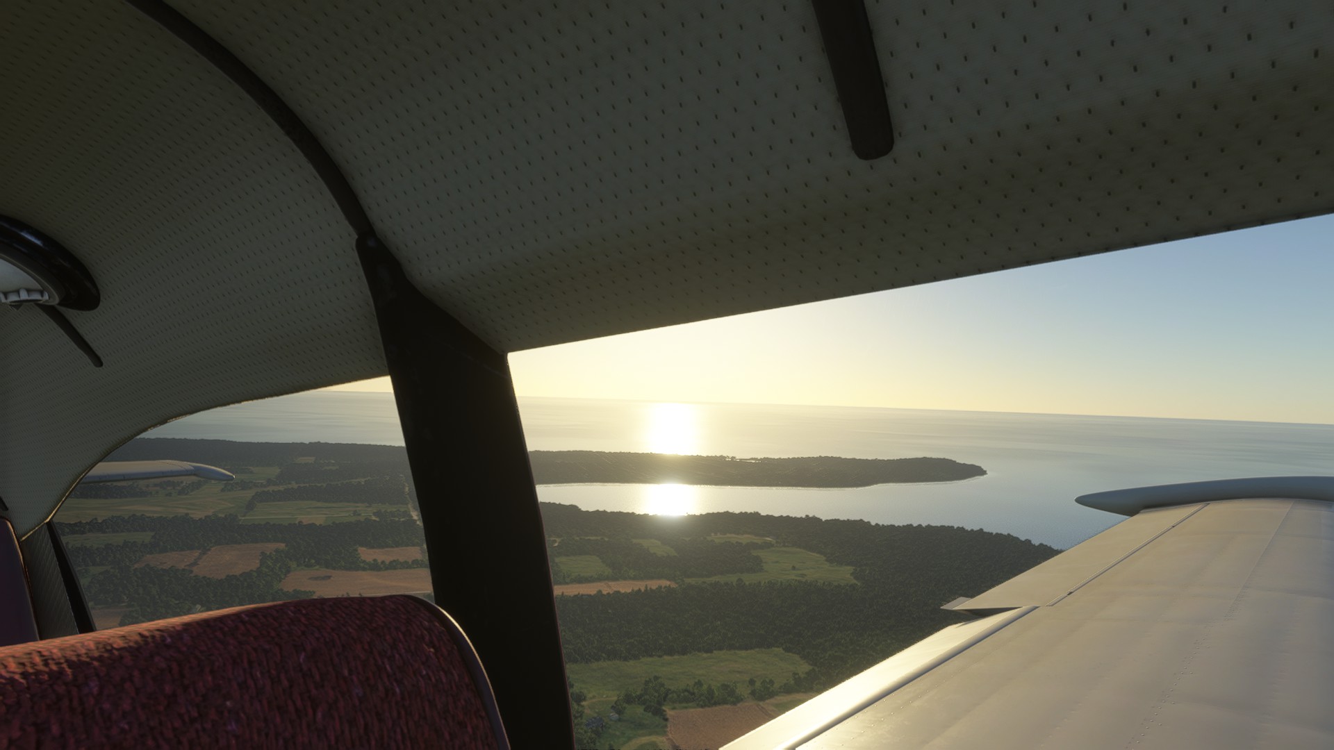
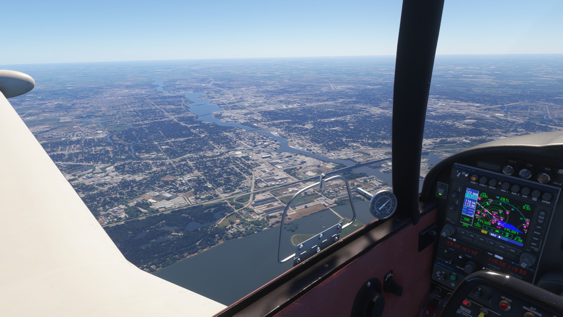
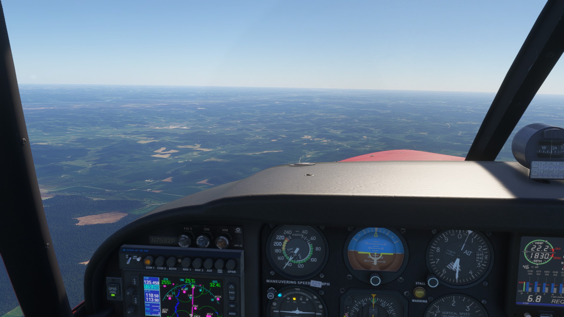
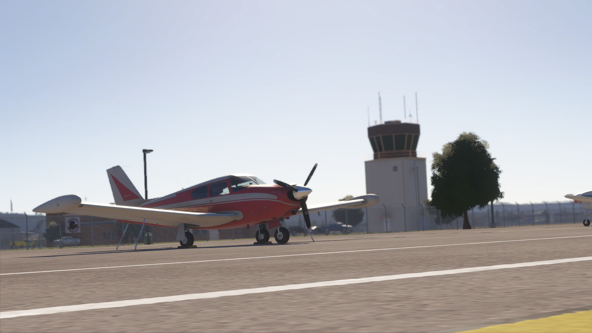
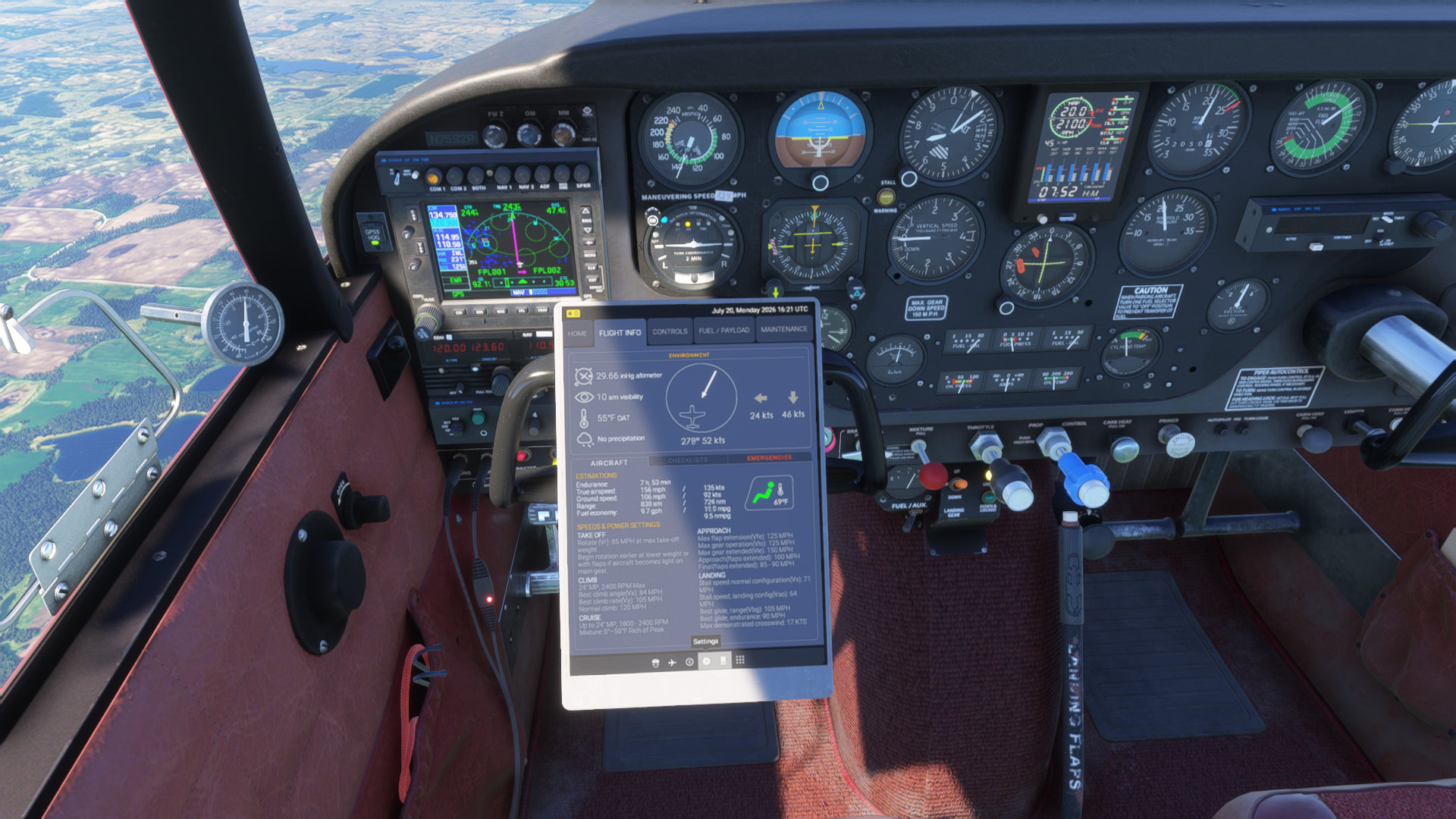
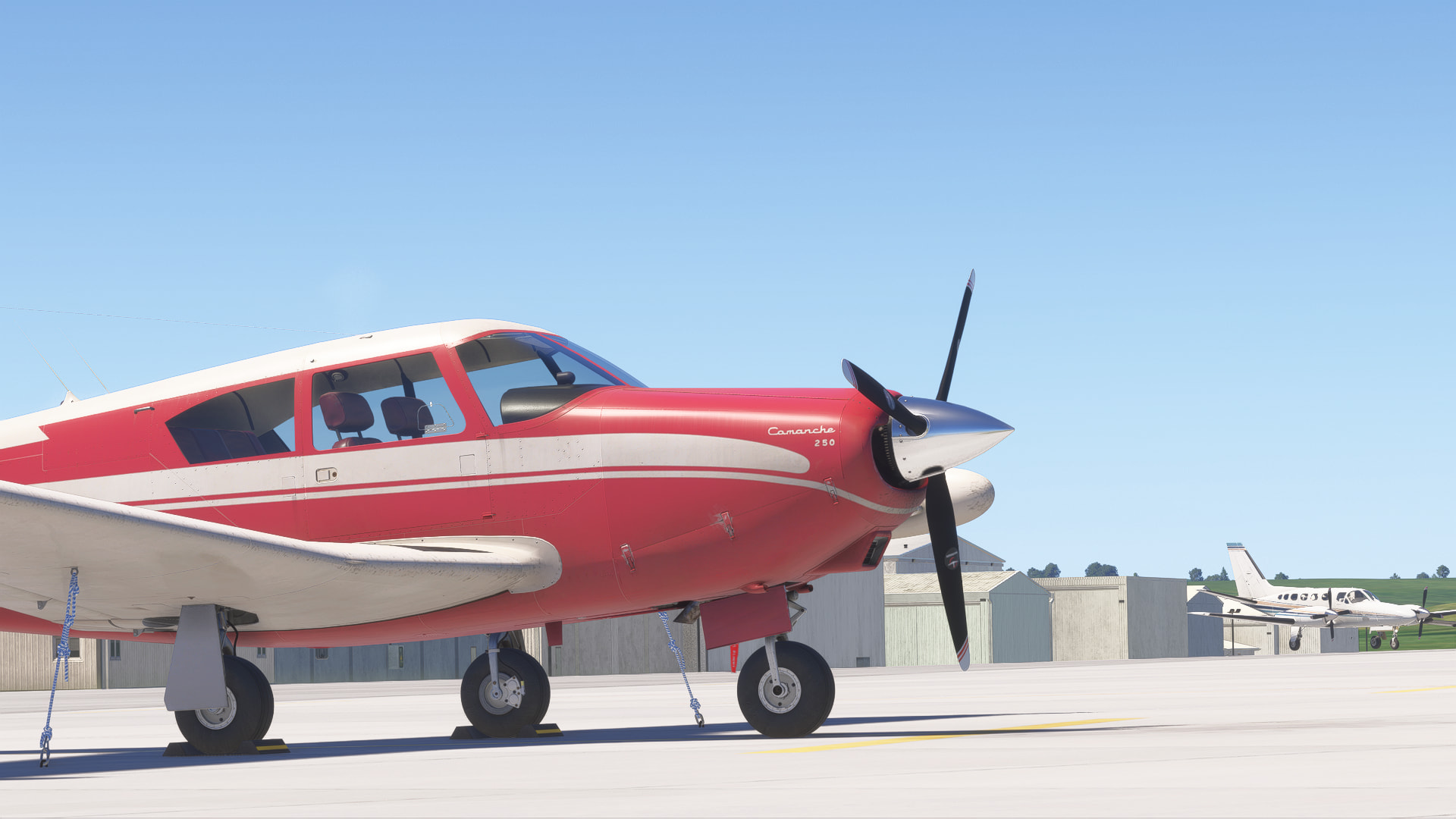
Cross Country in the A2A Comache

Hiya, folks! I’m my name is Dan, I’ve been an A2A addict…erm.. User? No… Enjoyer? Yeah, ok. Since FSX, into P3D, and the new kids, MSFS 2020, and now MSFS 2024. I’m stress testing my computer on MSFS 2024 for going back into Air Hauler 2, since I’m actually a bit below minimum specs. And I figure what better way then to do (Another) cross country flight!

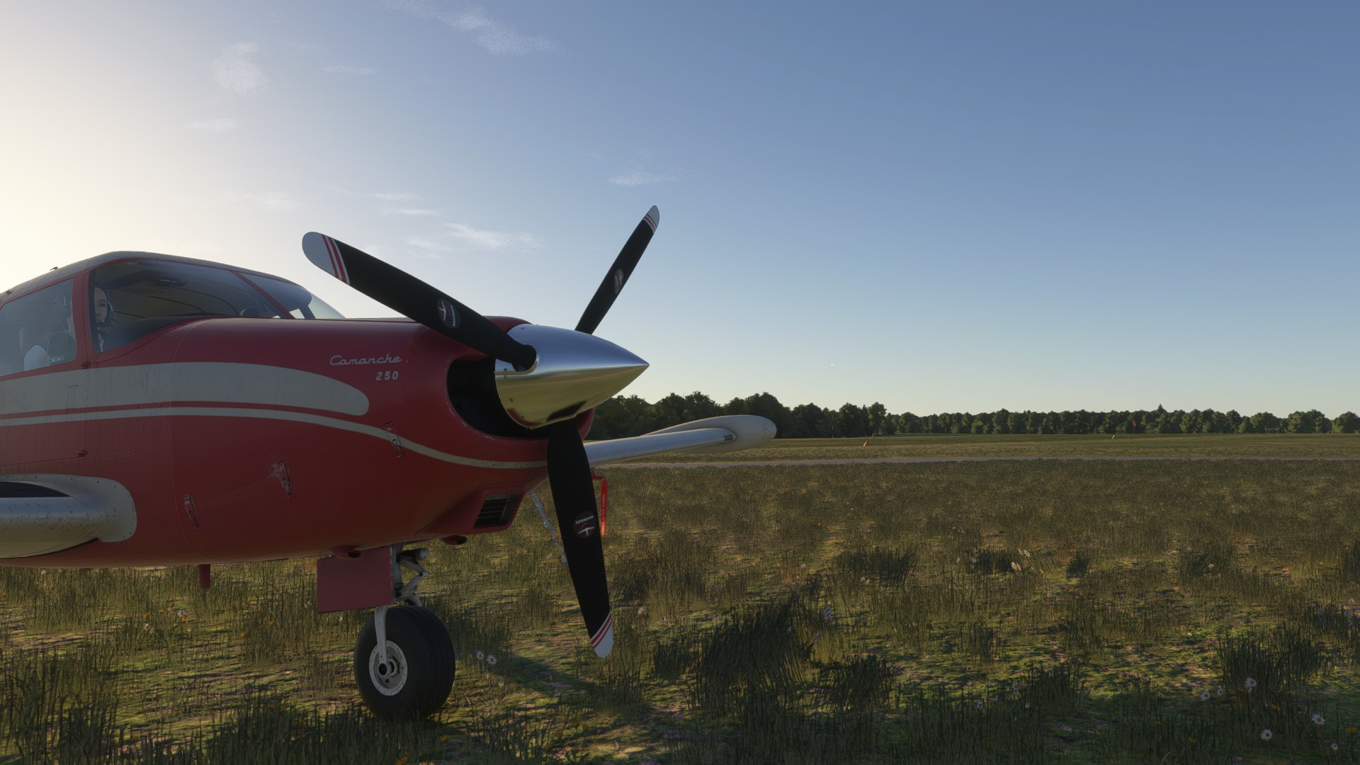
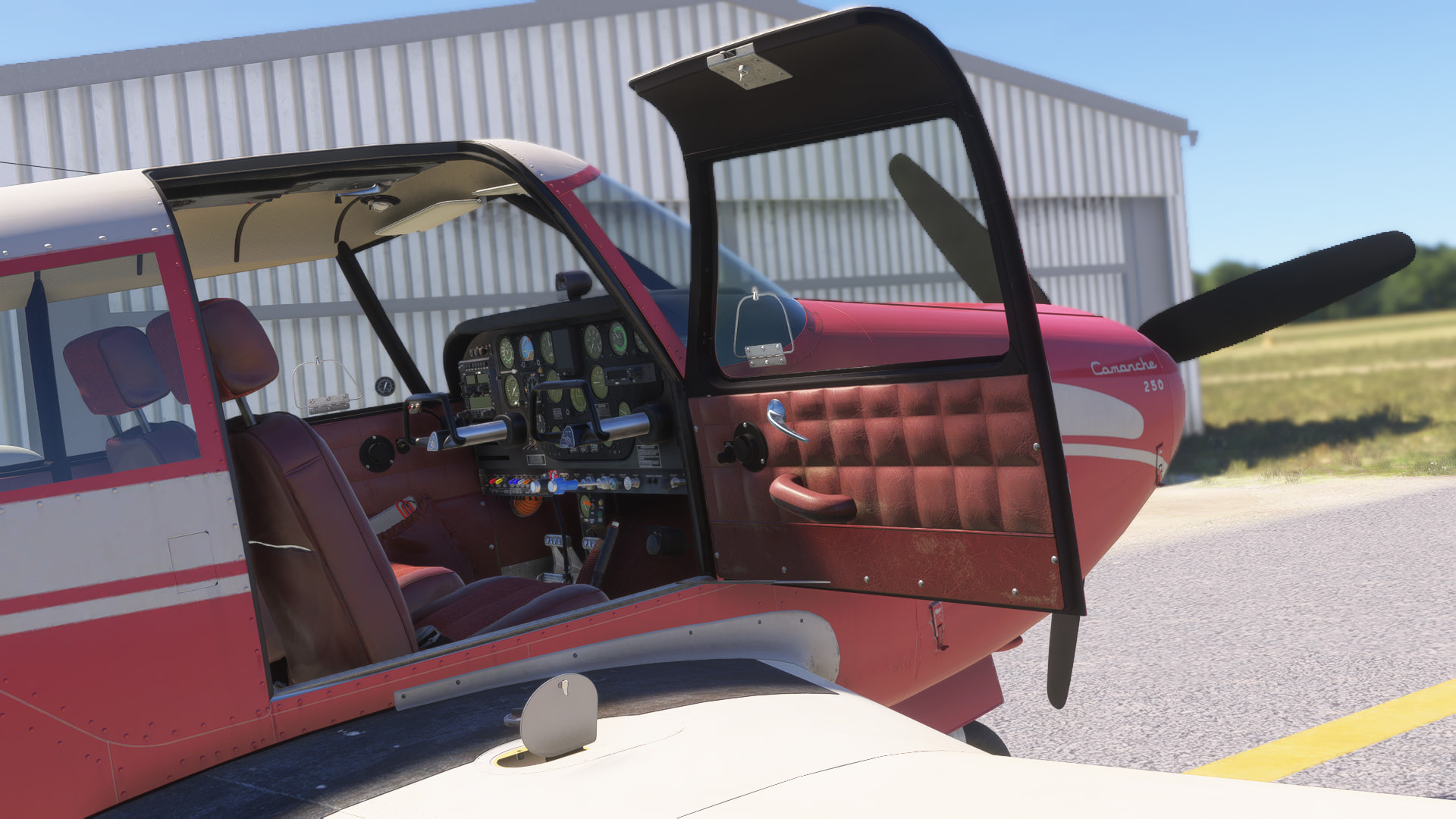
So, if you can handle photos from a potato of a computer (Boy, it pains me to say that, when I built this PC is was pretty decent.. in 2018), I’d like to document my very scenic journey, no direct GPS routes here! I loaded up the Comanche as a used plane, and I took off from my home airfield in the middle of NC, and flew to Kitty Hawk, getting the idea to do a full cross country on the way. I did this once before in the Piper Arrow III in '20/21 (The beautiful Comanche wasn’t available yet) and flew along the southern border of the US. Well, this time I’m heading north. My AH2 base is on the Oregon coast, so that’s where we’ll eventually be.

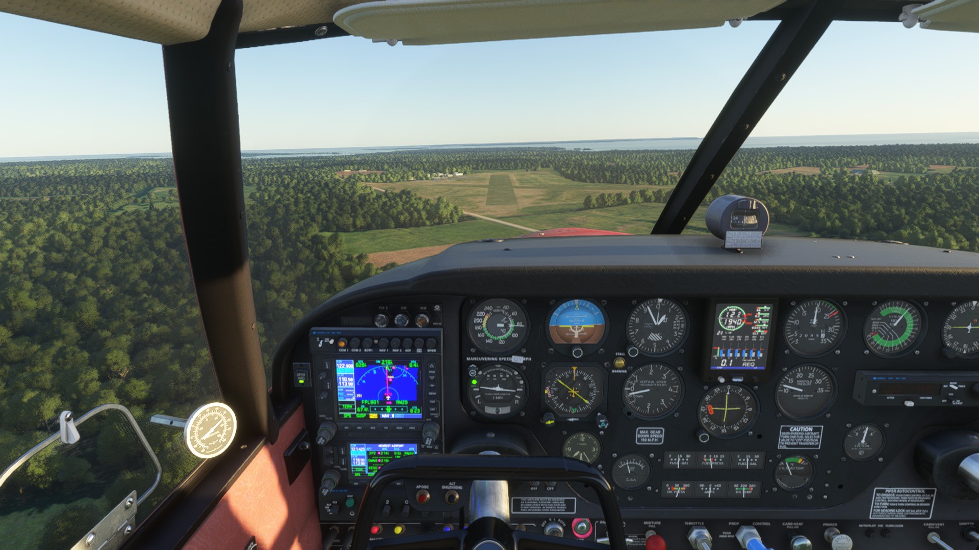
Starting out at KFFA, First Flight, in Kitty Hawk, NC to KUMP, Indianapolis Metro Airport, Indianapolis, IN. I battled heavy storms leaving NC and into VA, and dealt with some carb icing (That scared the heck outta me, it was 60 degrees, my brain didn’t even consider it). Yes, that’s an awful approach, but I haven’t flown in like 3+ years, I’ll get better. And I apologize for the awful photos these first couple flights, I didn’t plan on posting any of this. It gets better on leg three. I’m a Photographer, so bad photos are painful.

And bear with me as I catch up, I didn’t plan on sharing, or documenting these at first. I’m 3 flights in as of this post, so I gotta catch up.

Kitty Hawk, NC
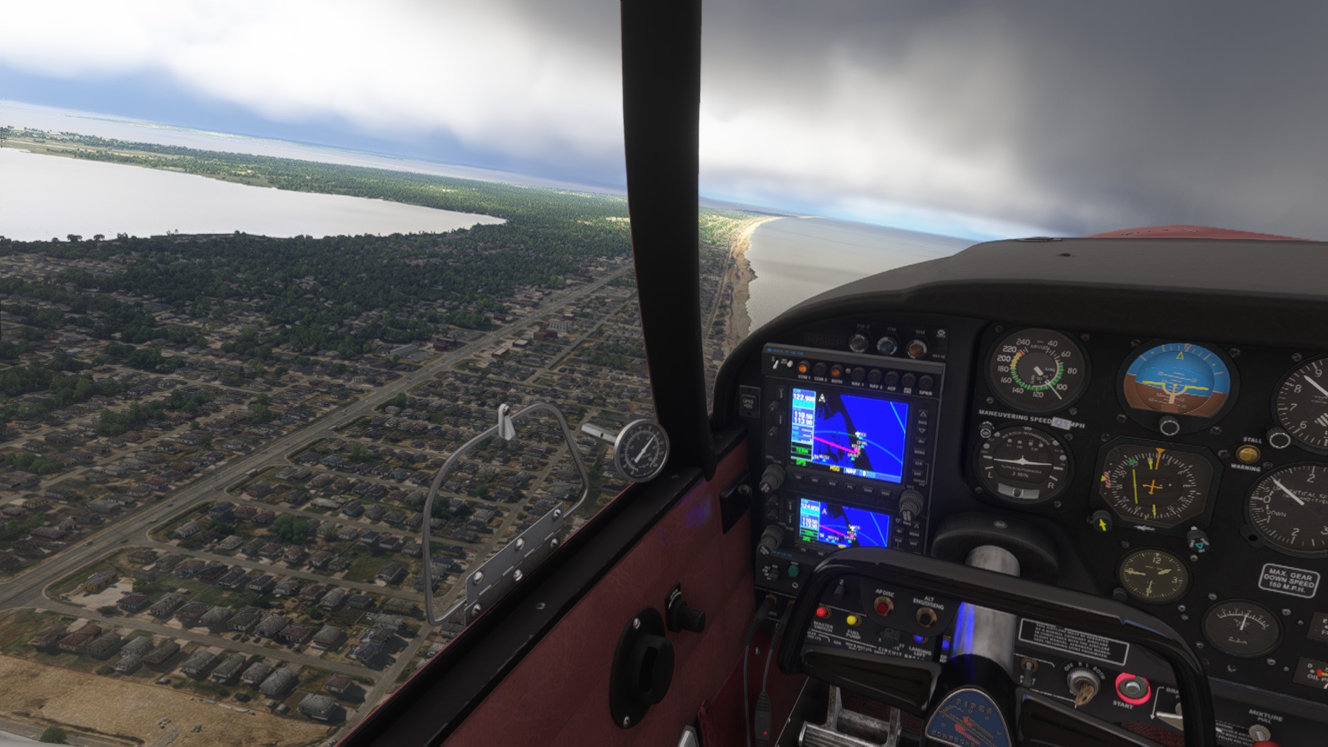
Beach just north of Kitty Hawk/Nags Head.
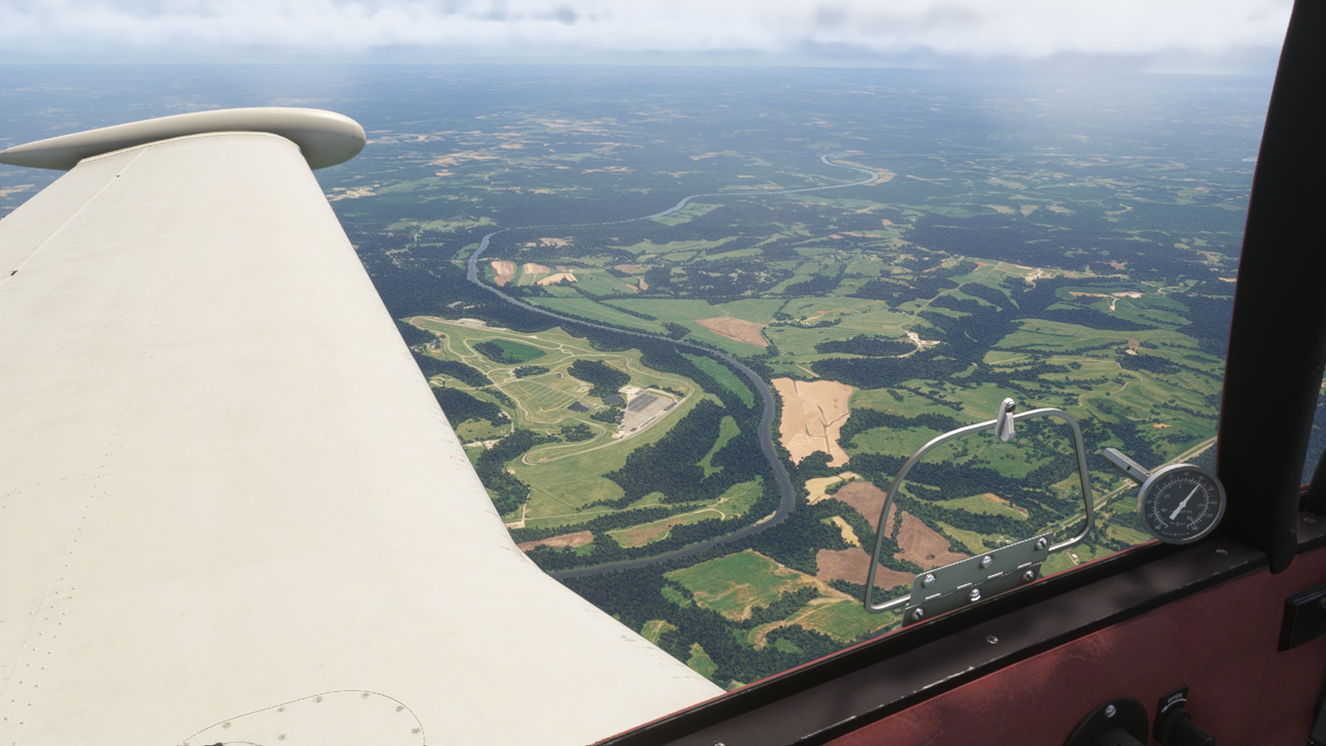
Virginia International Raceway. My home track! I go here often, and I’ll be at the track the whole 3 day IMSA event in August.
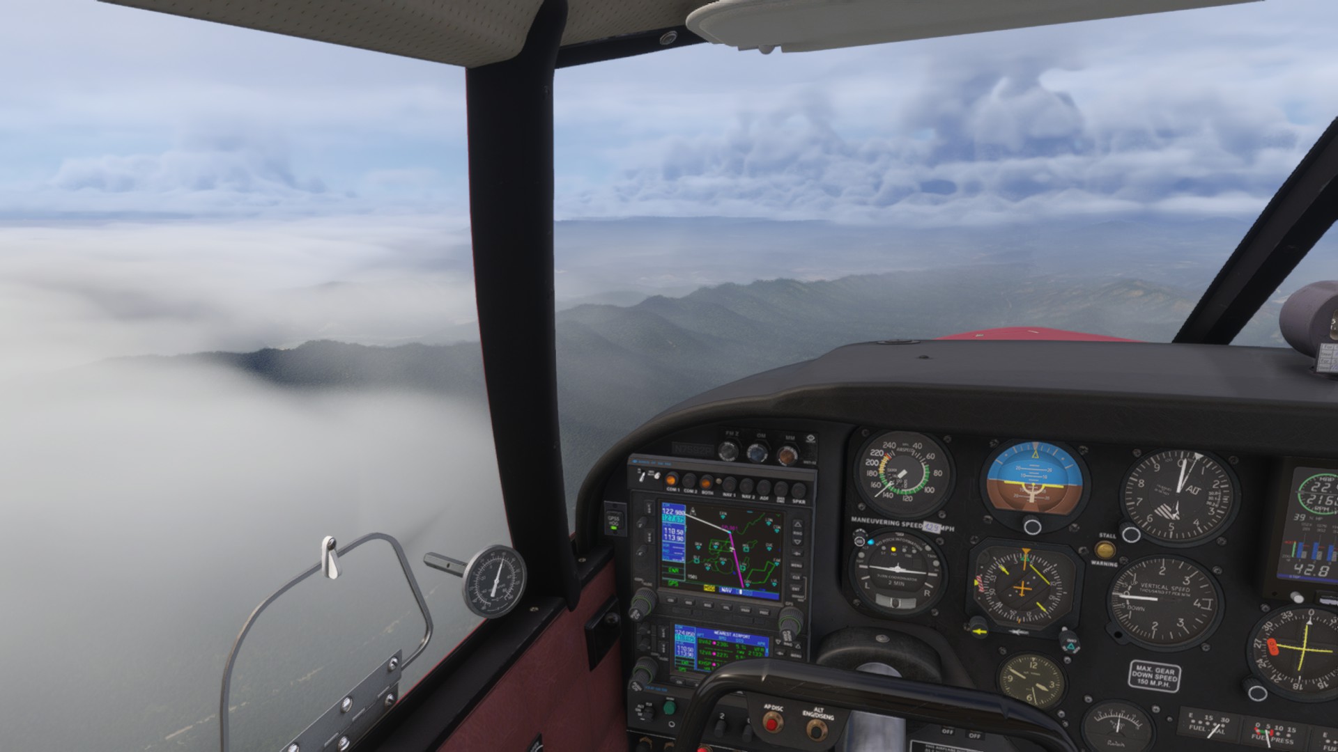
The cloudy, rainy, and gorgeous Blue Ridge Mountains.
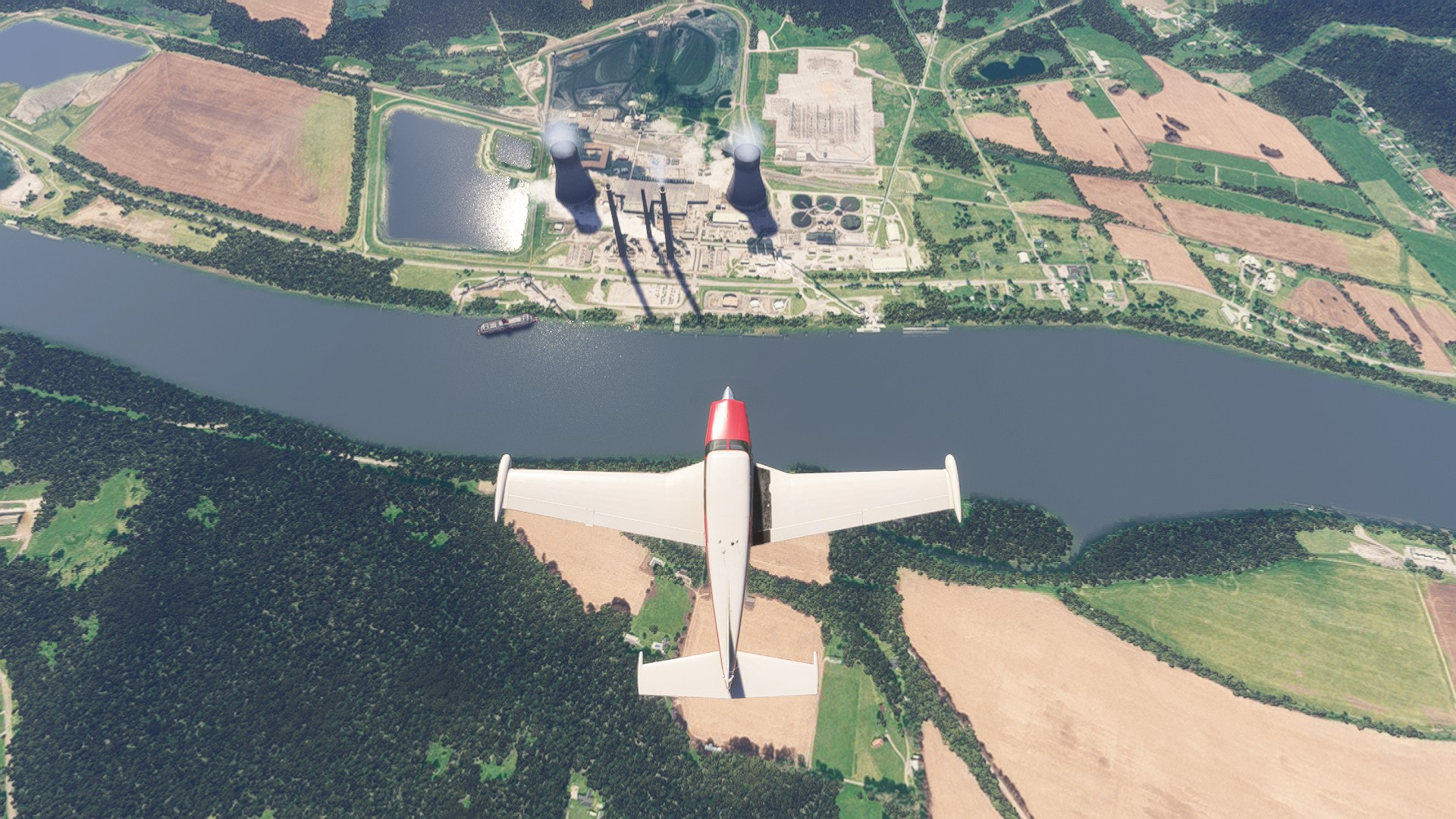
Gavin Power Plant, Ohio

Indianapolis Motor Speedway! I’ll head there IRL some day.
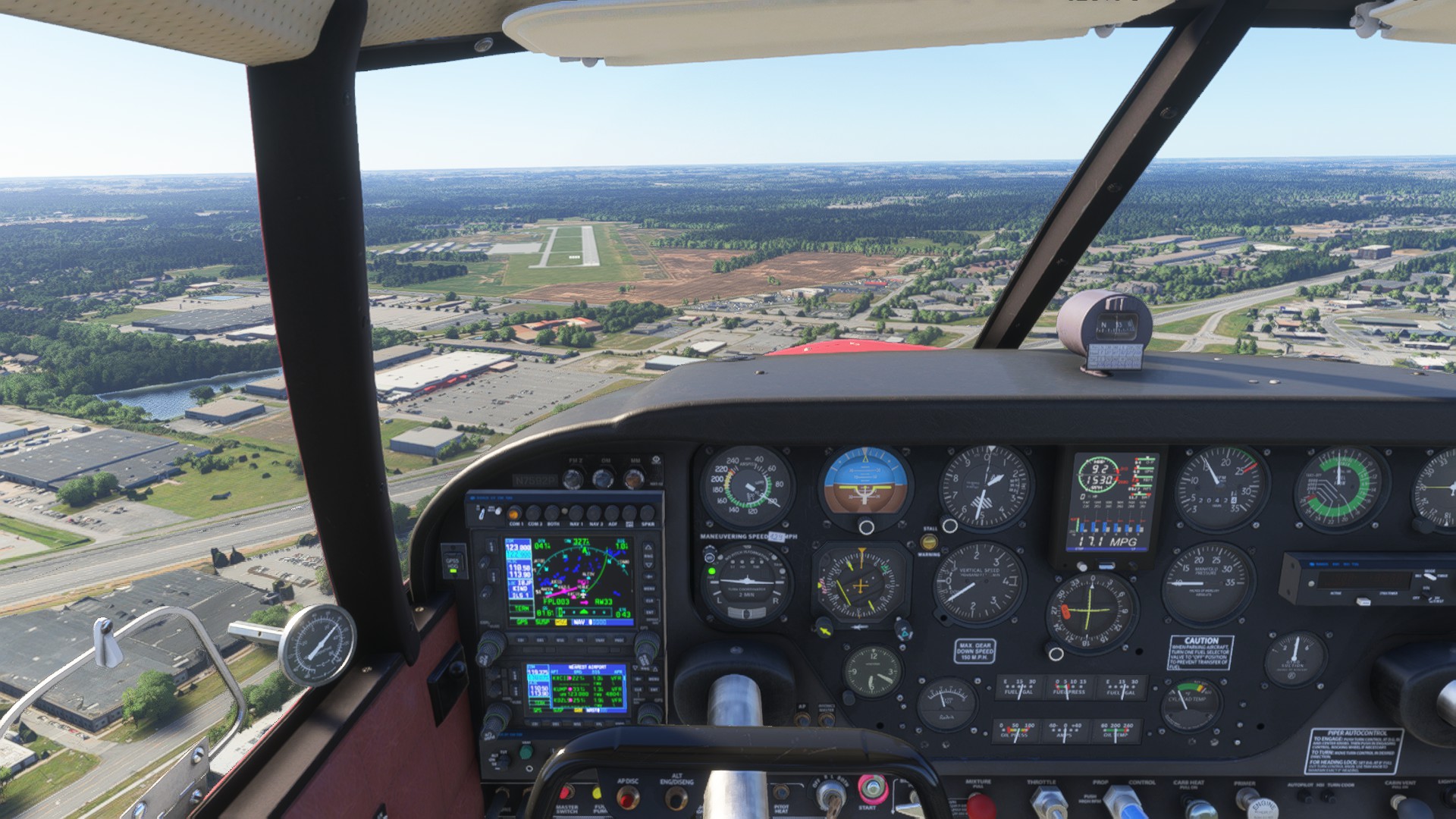
KUMP. I’m rusty, with a 22kt crosswind. This will rapidly get better, I’m like two flights in after 3 years.
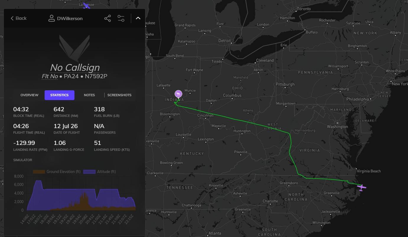
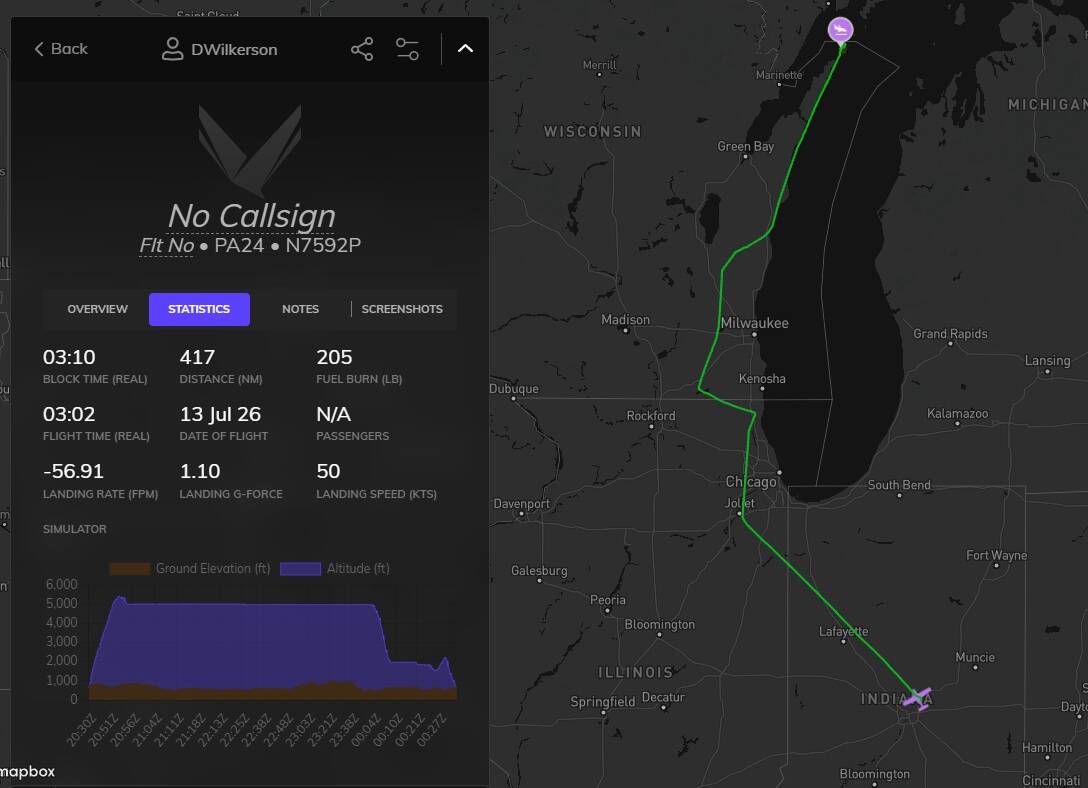
Volanta map. You can see the 2000ft drop shortly into the flight when I thought I was about to loose my engine, before I ran through the emergency checklist, which got the carb heat on, and saved me from my own idiocy. And that other little dip when my tip tanks ran dry while I was cooking dinner. Oops. :weary_face:

I did my first engine check after arriving here, and everything is at least ‘airworthy’. I just replaced the oil lines. Other then that, we’ll see.

If you liked this, awesome, and thank you! I’ll be posting my other two legs I’ve done tomorrow. After that, I’ll do what flying I can during the week as I work my way closer. My real life photography stuff comes first, but I’m also off all next week for my birthday, so I’ll cover a lot of ground then.

Daniel
Alrighty, leg two!

KUMP, Indianapolis Metro Airport, Indianapolis, IN. > 2P2, Washington Island Airport, Washington Island, WI. I’ve wanted to take a road trip here for years, simply to go to Nelsen’s Hall Bitters Club. Another one, for the ‘one day’ list.

Pretty uneventful, but fun flight. No carb icing, no dropping half my altitude while I’m in the other room. Just easy, fair weather the whole way.

I took off from KUMP, and headed North West towards Chicago-ish. Boy, is it flat.

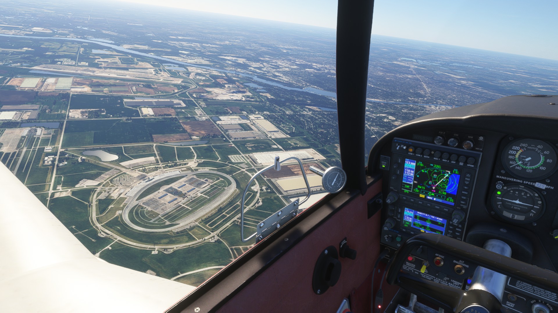
Chicagoland Speedway. Not an oval guy, but race car is race car, and I’ll stop by to see as many as I can.

Ah, there we go, that’s more my style. Road America, awesome track. Very close to Oshkosh.

A sailboat in Kangaroo Lake. I mean, if you got the money, go for it, I guess.

Fly over of 2P2. The center of the X of runways is up on a hill, the ends running downhill. Not a problem for the Comanche.

Sun’s getting low!

Okay, this is a much better approach.

Parked up! This is the only airfield on the island, your only other option is to come in via boat, but you can ferry your car over. Yes, I did remember to take out the copilot after this flight.

Volanta. Floated the landing more then I wanted, but with that uphill landing, I knew she’d stop with plenty of room, and I didn’t want to risk the prop by dropping her in there.

Thanks for viewing!

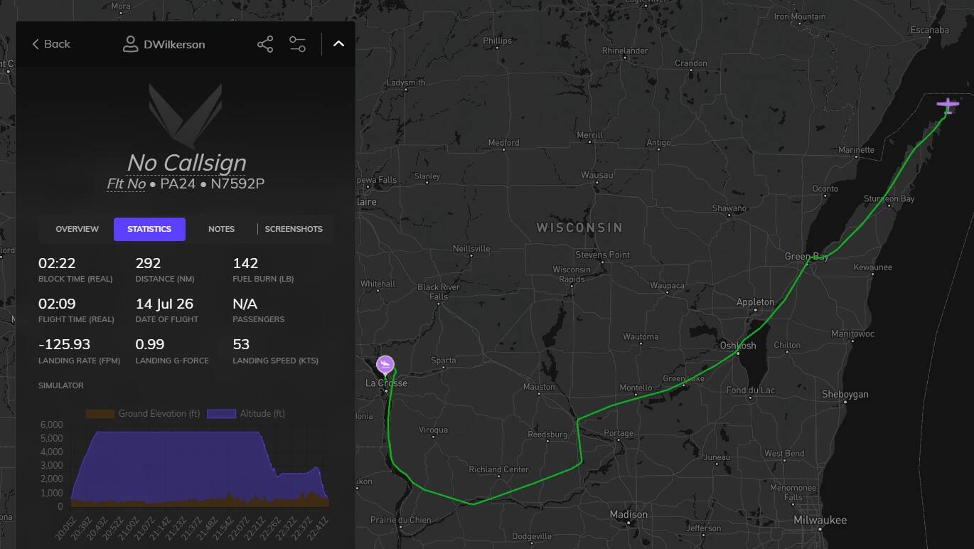
Leg three! 2P2, Washington Island Airport, Washington Island, WI. > La Crosse Regional Airport, La Crosse, WI.

Easy take off, once she crested that hill, she lifted right off. We eased south, heading towards Green Bay, and Oshkosh. We’re headed to a larger airfield this time, as I’ve scheduled an oil change with reputable mechanic on-site. I noticed at Washington Island, that my oil is getting low, and quite dirty. Fairly uneventful flight. It was mid 90s on take off, and landing. I had to run cockpit vent on full blast the entire way to keep the cabin below 80 degrees! I had an annoying 15kt crosswind the entire flight. Along the way, we ran the tip tanks dry, and switched back over to the mains. As 2P2 had no fuel, we actually ended up landing with 8 gal in total left.

Checking out the fuel level before takeoff.
The Washington Island ferry at Porte des Morts.

Green Bay

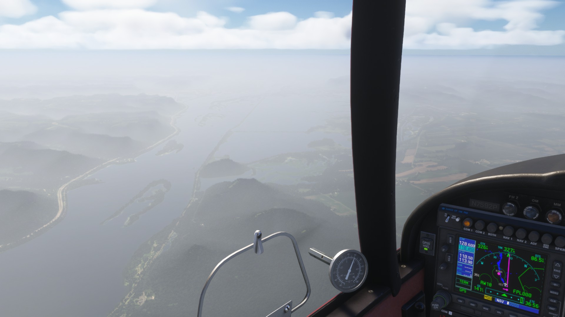
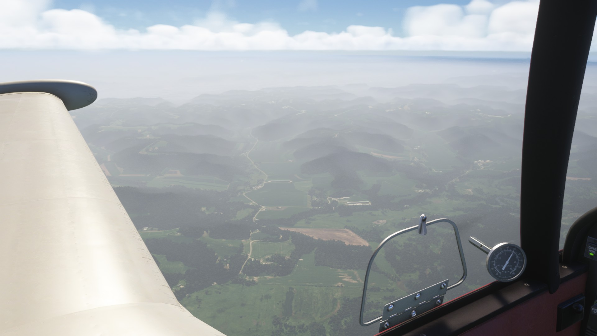
The Driftless area. Hills! It’s been two flights, and I already missed them.

The Mississippi River, ahead is La Crosse.

This runway is too big, I’m a bush flying kinda guy. But, they’ve got fuel, and an on staff mechanic.

Parked up! The mechanic told me she’ll be ready Sunday morning (Aka, leg 4 will be Sunday). I guess I’ll grab a little hotel, and explore the city of La Crosse. Maybe I’ll take a river boat tour!

Volanta

So, my loose plan right now is to maybe head up to International Falls, Palisades, Devils Tower, Mt Rushmore, ‘down’ to Aspen, back up to Grand Teton, Yellow Stone, Glacier, perhaps the North Cascades, then I’ll wiggle my way down to S45. Any other suggestions, or places you think I should visit, or fly over? I prefer smaller airports, but for this trip, I’d like to keep it to regional, and municipal fields.

Thanks for looking!

Onto leg 4!

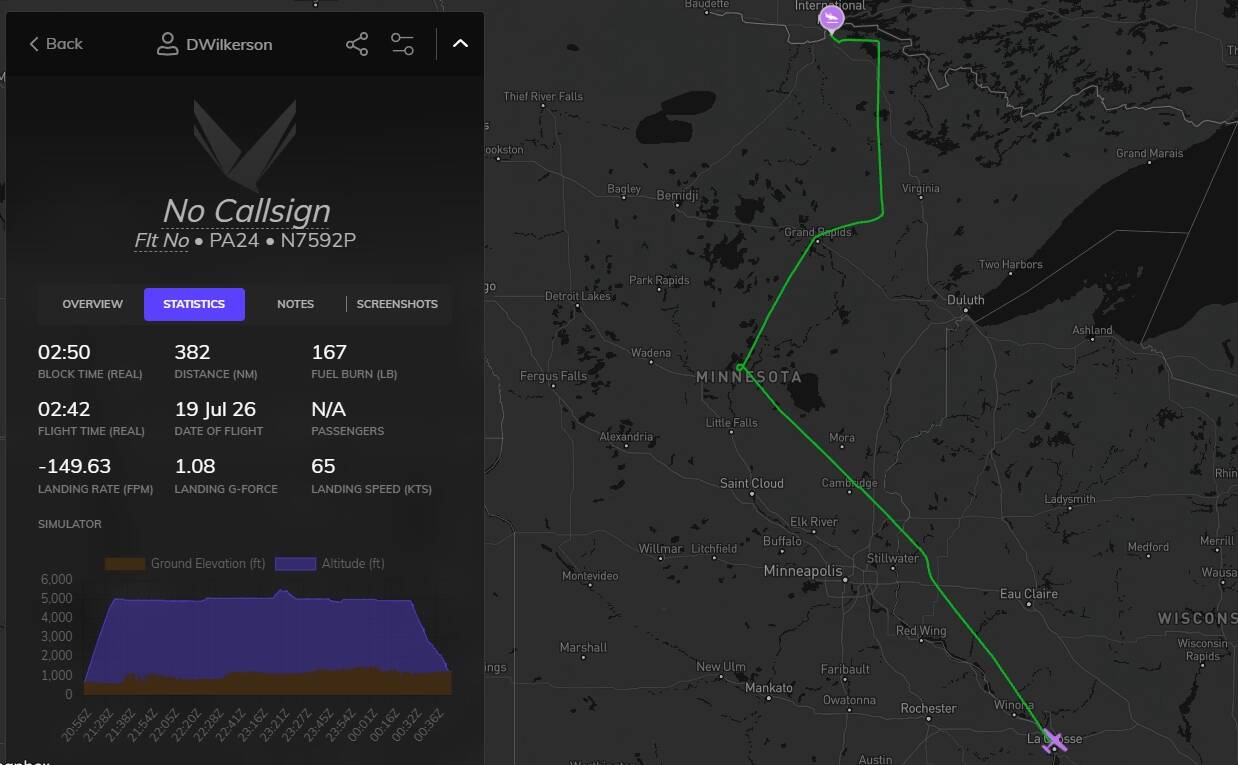
KLSE, La Crosse Regional Airport, La Crosse, WI. > KINL, Falls International Airport-Einarson Field
International Falls, MN, USA.

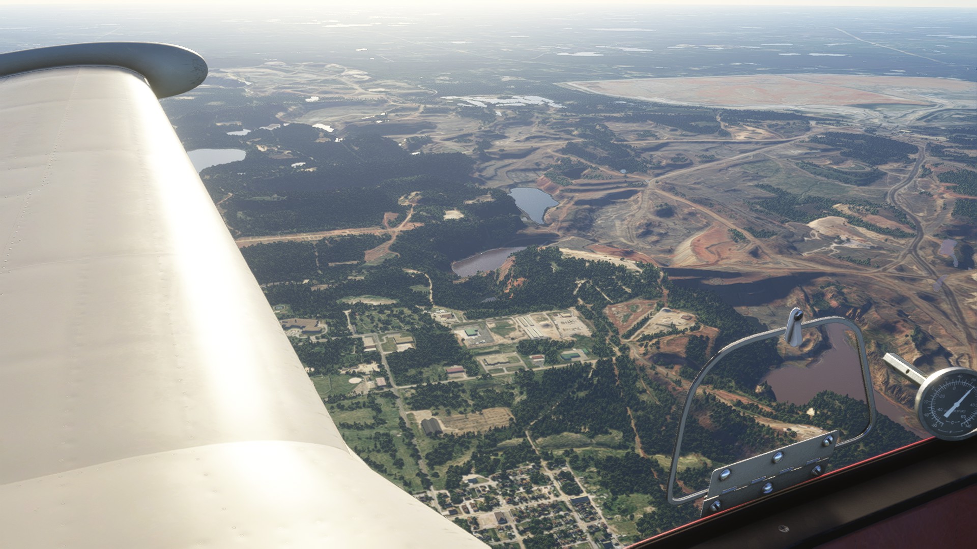
Smooth, and a long (for a Comanche) runway. Lots of smoke from the current wildfire in Canada, visibility is only a few miles, but we get above that pretty quick thanks for the Comanche’s 250hp, and light load. We flew over a couple race tracks, but I mostly enjoyed Minnesota’s ‘10,000’ lakes. And that massive iron quarry near Hibbing! That was crazy from the sky. Not too much else to say about this leg, just an easy, uneventful flight.

Smoke shortly after takeoff

More smoke during the climb

Brainerd International Raceway. The on-board videos kinda remind me of Sonoma.

One of the two dirt/clay ovals in Hibbing

Gaint iron quarry. This looks so cool, but out of place.

Lake, after lake, after lake

Approaching International Falls

Parked up!

Volanta

Yeah, yeah. I know, everyone does Discord now. That’s a chat room to me, it’s not my thing.

Leg five!

KINL, Falls International Airport-Einarson Field, International Falls, MN > ■■■■, Rapid City Regional Airport, Rapid City, SD

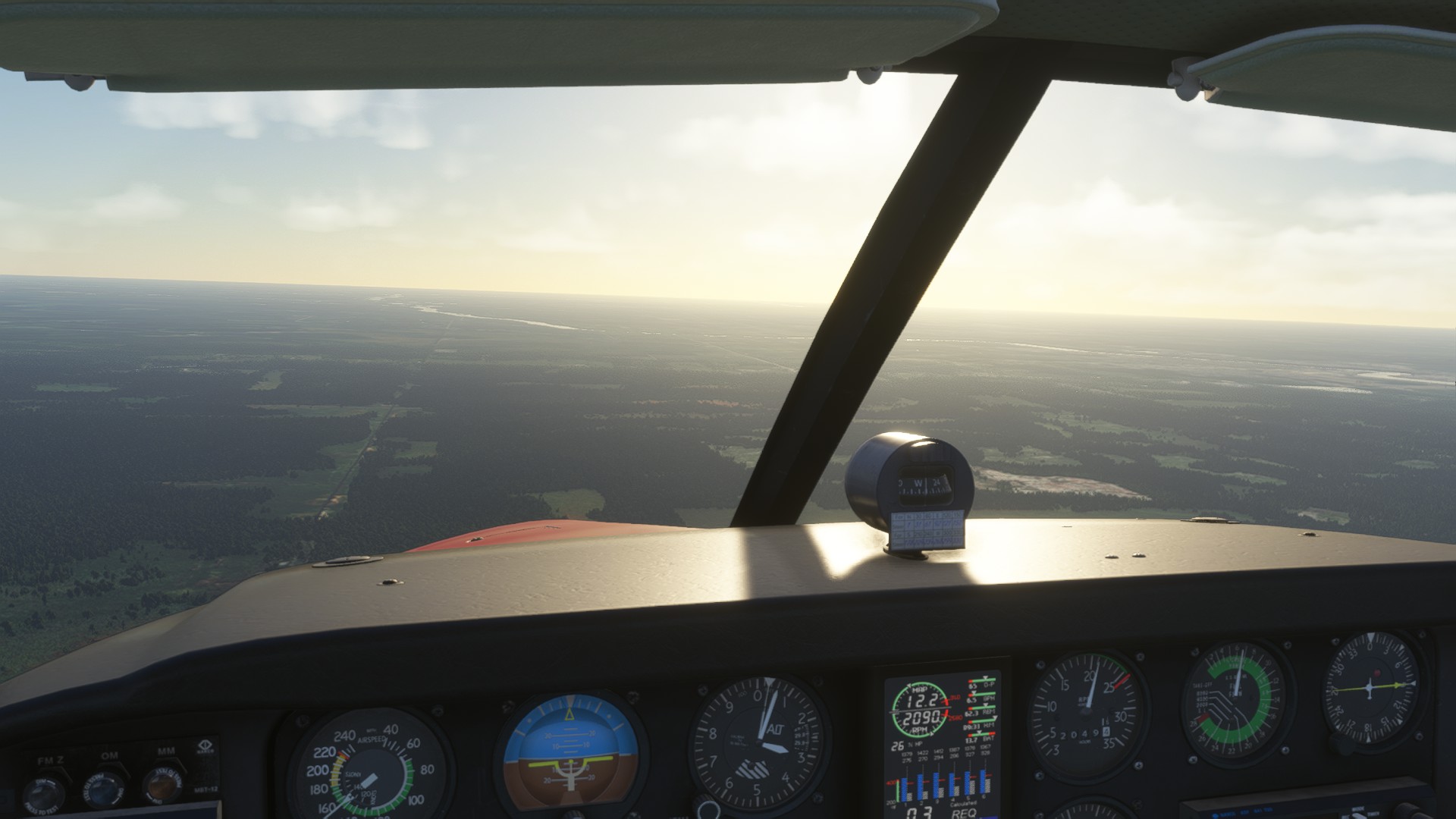
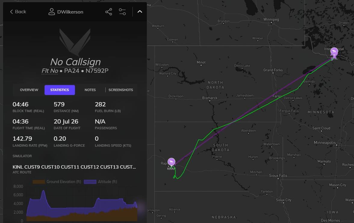
This is a long leg. Normally I don’t fly longer then MAYBE 2 hours, but with being on vacation, and my plan to chill most of it, lets get some flat stuff outta the way. We leveled off at 5000ft, as we I normally do, but I had an almost 30kt headwind. So we climbed… that was worse, so, we dropped down to 3000ft. At least I had a nice view! Cylinder 3 is burning oil, but it’s not the end of the world. I’ll just keep an eye on it.

Not much to say about the airfields. They were nice regional fields.

Lower Red Lake, looks like a mini ocean from 5000.

The city of Fargo, the most populated city in ND

The James River.

Yeah… this is why 7000 feet didn’t work out for me. 52kt Headwind.

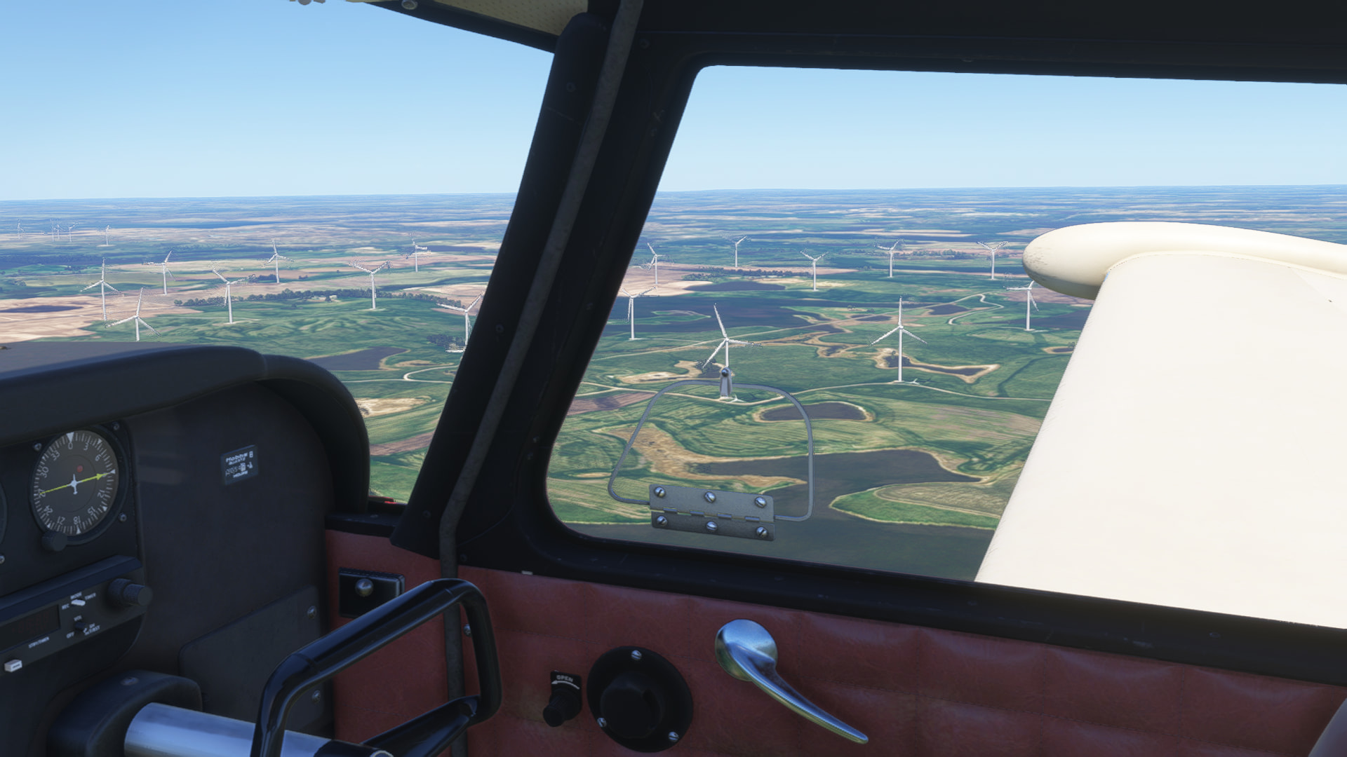
Windmills! Must be working overtime today with this wind

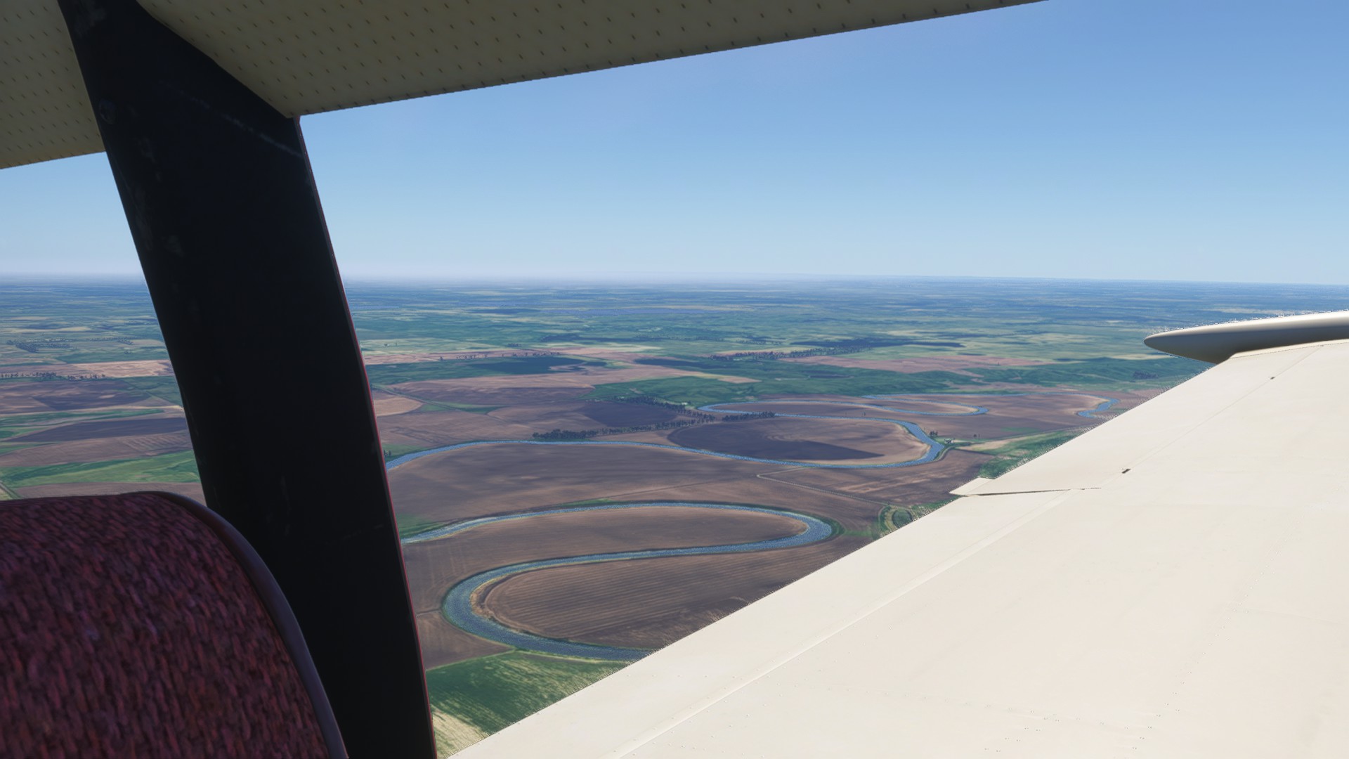
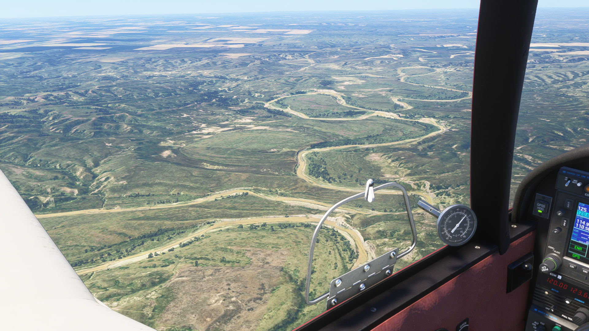
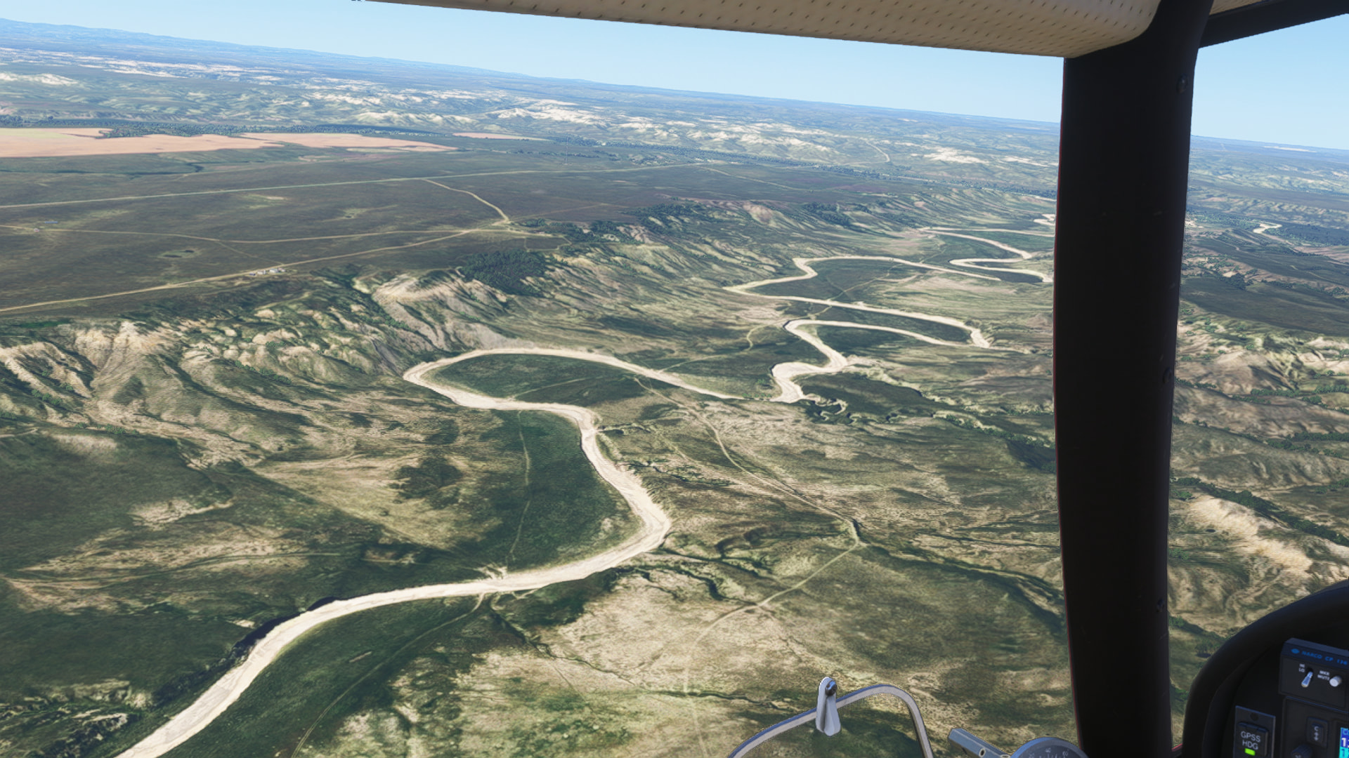
The Moreau River. Looks like someone shot off a can of silly string, and called it river. Downright pretty.

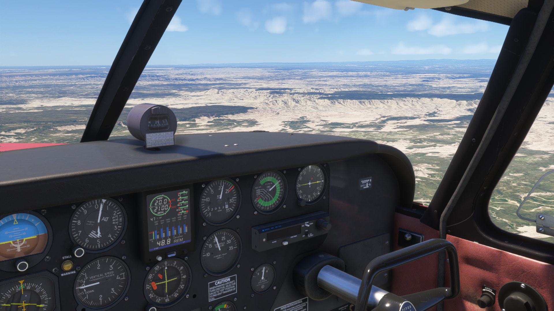
Badlands National Park. I forgot I had to download the WU22 before coming here. Fixed that for the rest of the National Parks. Still looks good, though.

The White River, in Badlands National Park

Parked up at Rapid City. Is that plane floating, or is this heat getting to me?

Volanta

I hope no one feels that I’m spamming by posting these. I love reading this reports, and it seems it’s so hard to find new ones anymore, and if you do, they’re rarely completed. Maybe someone will read this a couple years from now. I still fondly remember an around the world (Or maybe it was just cross country) in the default FSX Baron, using FSPassengers to have failures and such.

No, this would not be considered spamming. There are many topics where the OP relates their cross-country / continent / world flights.

I follow along with most of these types of topic, but have little time usually to respond to them (moderation duties keep me busy!). Keep up the good work! :slightly_smiling_face:

Yeah, I don’t miss being a mod. Even is it was over only 100 people. It’s no fun, but forums wouldn’t be usable without you folks. Thank you!

Leg 6, the Monument run!

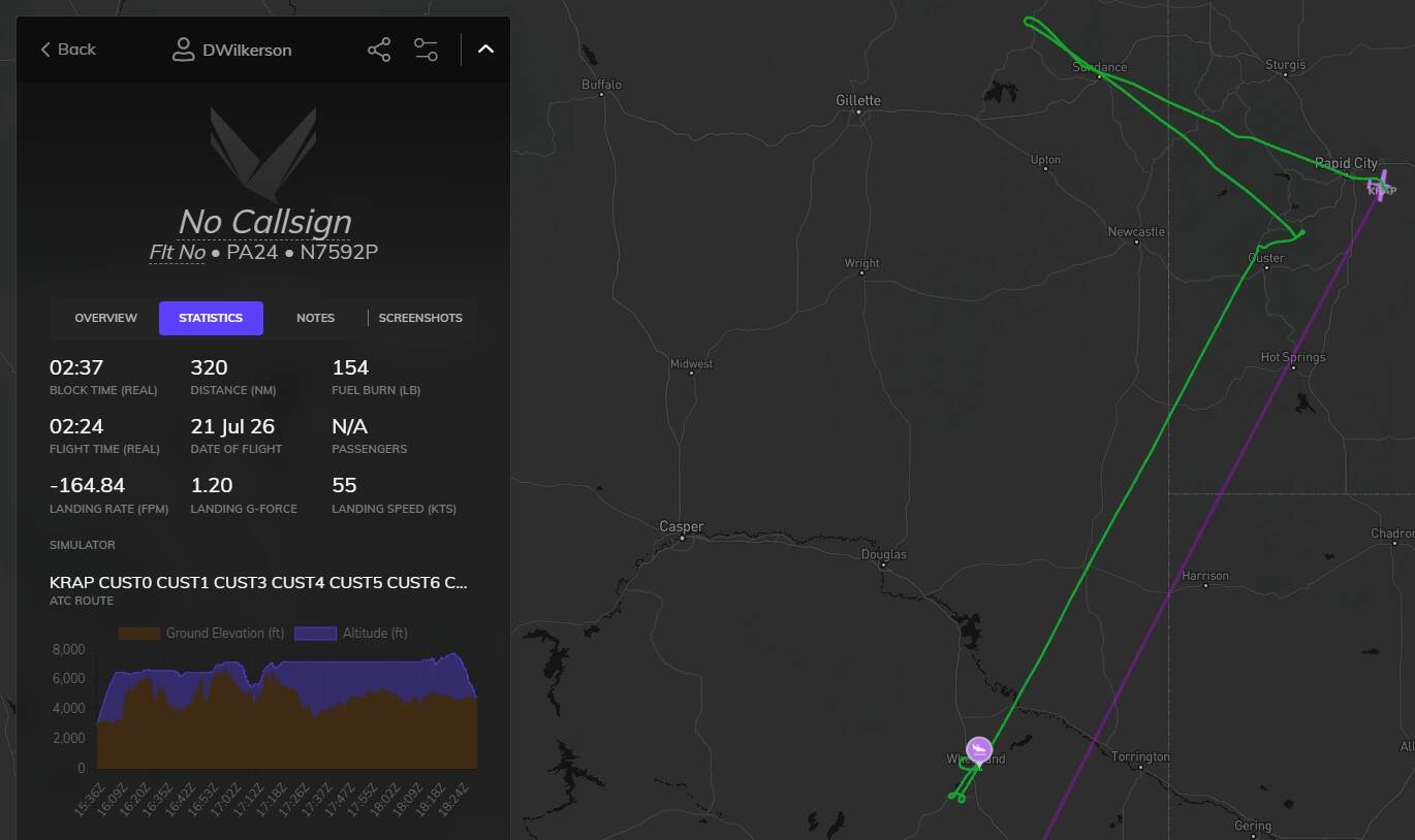
RAP, Rapid City Regional Airport, Rapid City, SD > KTEX, Telluride Regional Airport Telluride, CO - KEAN, Phifer Airfield, Wheatland, WY

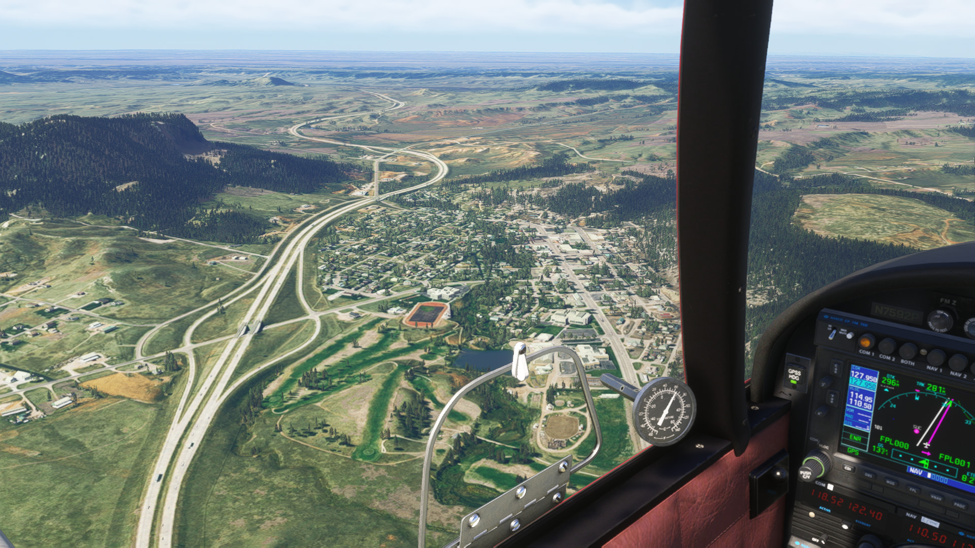
For this leg, we took off from RAP, turned west, and headed over Sundance, and around Devils Tower. After looping around Devils Tower, we came back over Sundance and made our way to Mount Rushmore, looping around that, we headed over to the Crazy Horse Monument. After that, we settled into a long cruise to our next waypoint. We passed over some cool terrain, neat ranches waaaay out there.

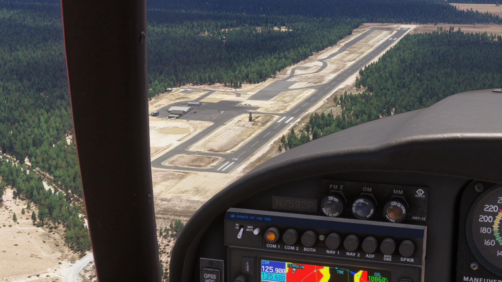
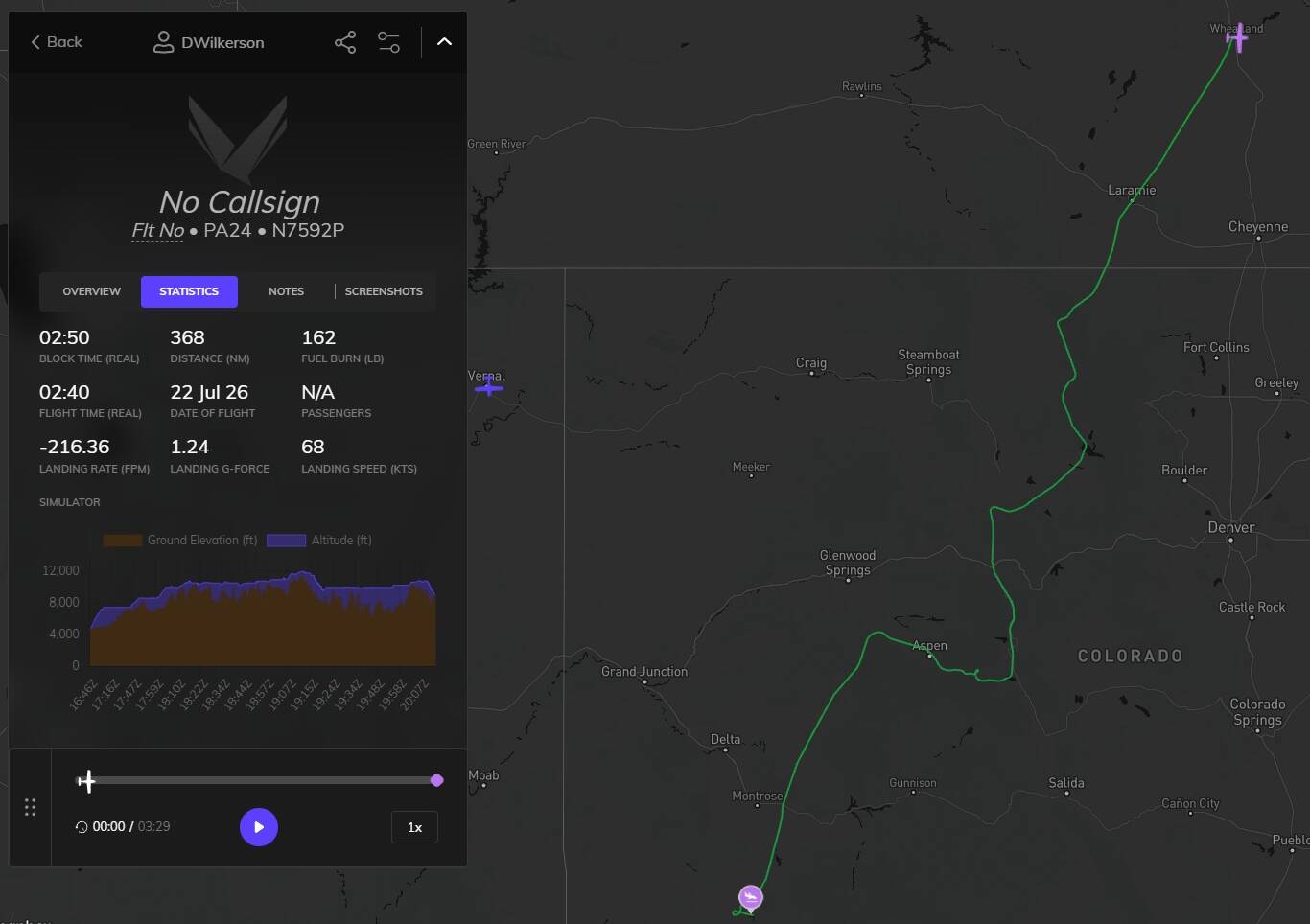
We passed over a cool power plant, and got over Wheatland a- [engine starts to run rough] AGAIN? It’s almost 70 and dry out, it can’t be icing… No, that’s not the carb. Fuel? I flip the tanks, full rich, full rpm, fuel pump on, carb heat on… Nothing. All that happened in the span of about 30 seconds, but we’re starting to loose speed now, auto-pilot is yelling at me to trim up, so I cut the auto pilot. Then, I see the engine monitor for the fist time since this happened. Cylinder five is gone. Okay, lets find somewhere to land. 800ft Grass strip? Could, don’t want to. Oh, Phifer Regl is only a few miles away, I could glide there, lets do that. The engine is running fine, just it’s running on five cylinders instead of six. I cut the carb heat, keep the mixture rich, and my throttle high. Once I know I’ve made the airfield, I drop flaps and gear, fight the crosswind, and set her down on the numbers.

Once I park up, I make a call for an emergency repair. And since I’ll be paying out the nose for that already, I had them overhaul cylinder three as well. Stop that oil burn. I really don’t want another engine failure when I hit the Rocky’s.

Sundance, WY

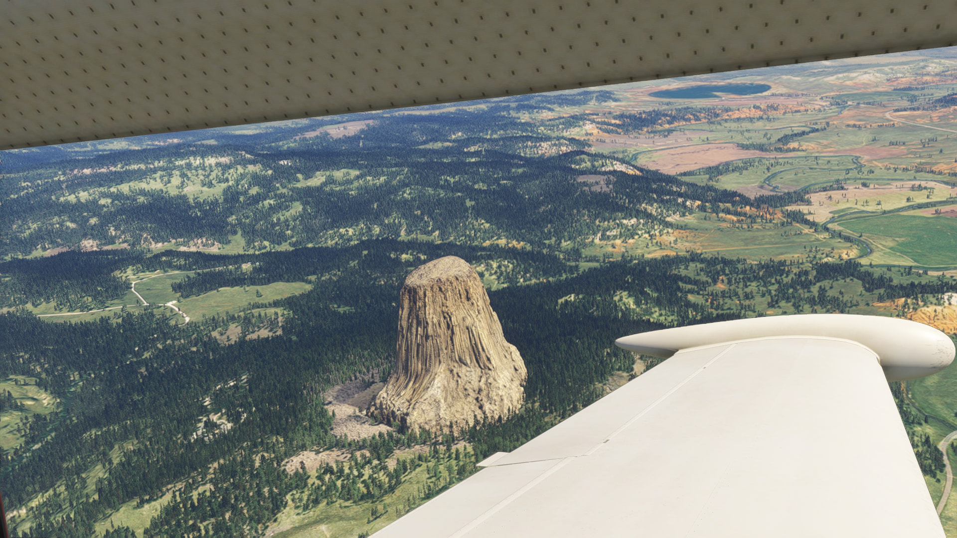
Devils Tower

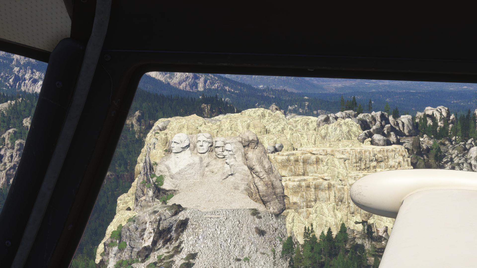
The Presidents

Crazy Horse Memorial, started on 1948, and still worked on today.

I don’t know what this area is called, I’m an east coast city boy. It’s pretty, though.

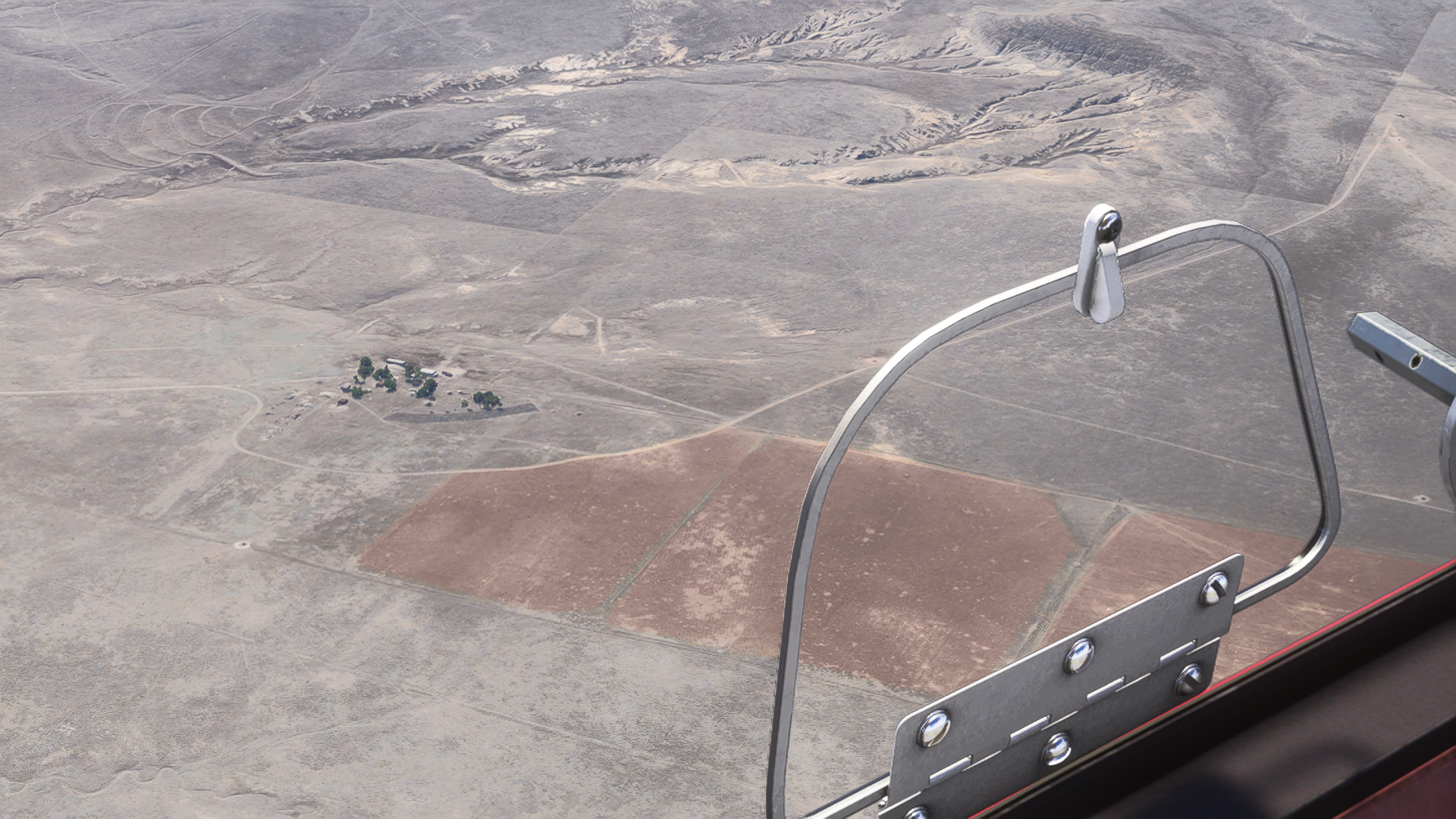
A ranch in the middle of nowhere. Looks peaceful, and extremely hard work.

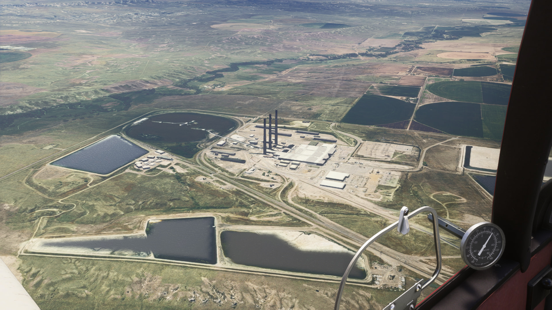
The Moba Coal Power Plant, little ways NE of Wheatland, WY

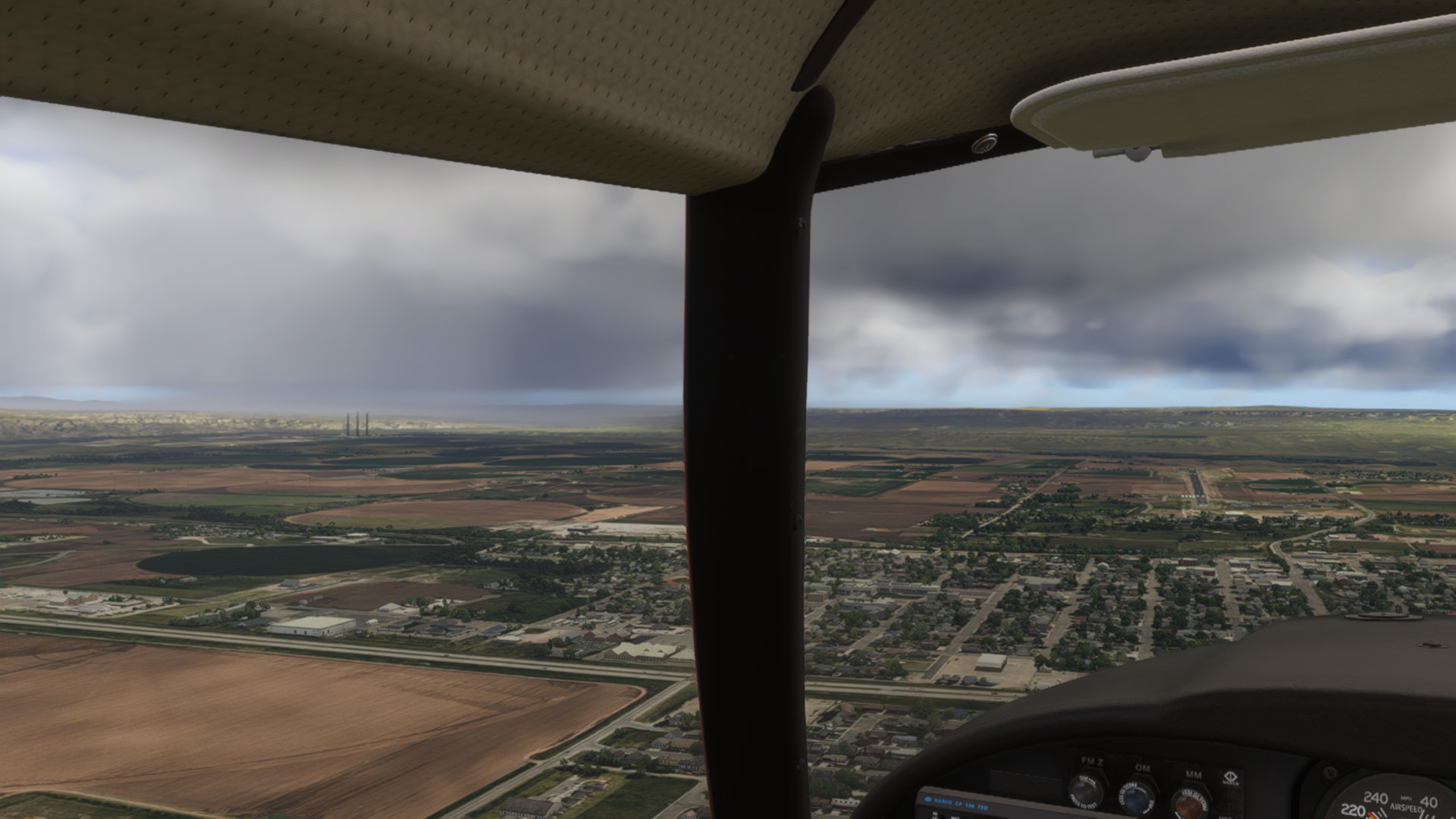
Not the prettiest approach, but a good view. I got lined up before touchdown.

Parked up. I checked for obvious engine damage, but it looks like I got lucky. Got some names and numbers of mechanics from the FBO, started making phone calls after this photo. Ugh, this trip is getting more and more expensive.

Volanta. I did a couple circles looking for the first field, before giving up, and heading to Phifer. Glad I did.

Looks like Rapid Cities ICAO code is censored. :joy:

Leg 7! Heading into the Rockies, and pushing that Lycoming O-540.

KEAN Phifer Airfield, Wheatland, WY > KTEX, Telluride Regional Airport Telluride, CO

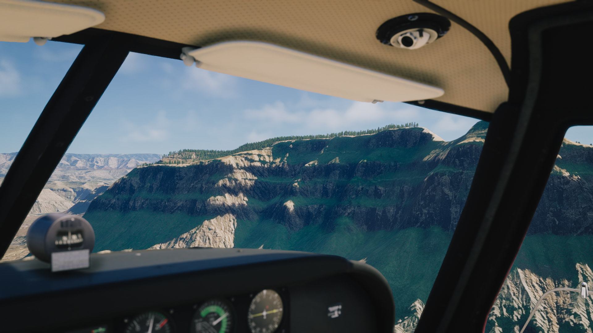
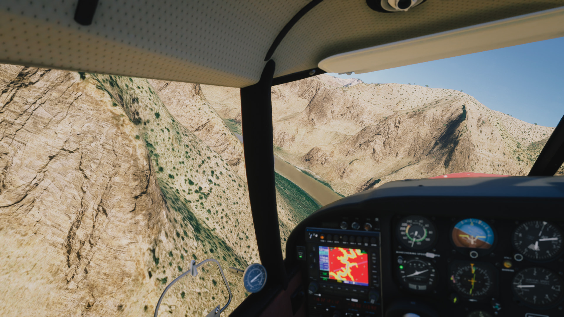
Finally, an area that starts to demand some hand flying! These next couple of legs are all about nature, and hoping no more engine problems arise. I used the Garmin’s terrain feature a lot here, it’s wild being at 11,000ft, and only being 1,000ft AGL. But, the Comanche handled it like a champ!

Had a little delay posting this one, as I went on a little backpacking trip. My birthday present from myself, to myself. Very chill, not too long, a good fire and plenty of drinks in the stream. :slight_smile: Woke up to a fairly heavy rain storm that went from 7am to 11am, so I relaxed and read my book. I’ve got one more flight completed after this to post, then I’ll be going to once or twice a week, and probably one, to one and a half hour flights after work.
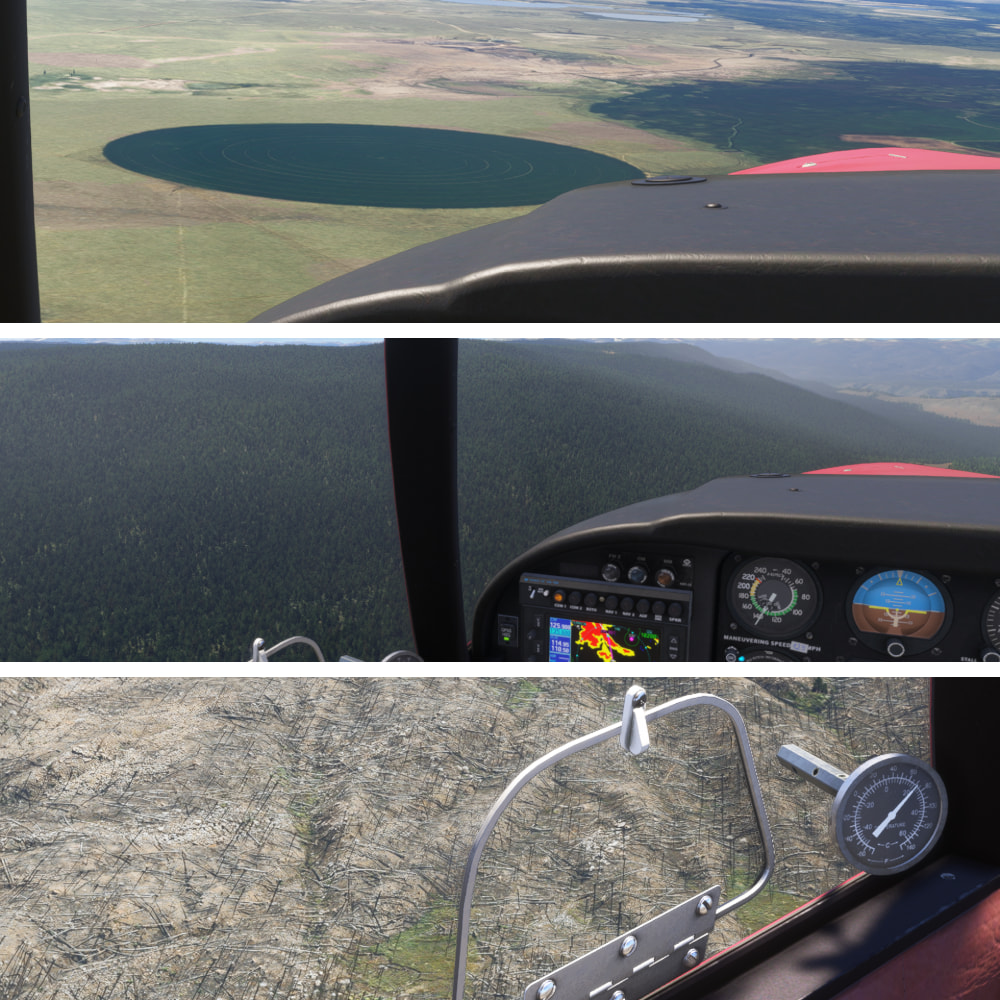
Little north of Laramie, a sign of things to come.

A MASSIVE field south of Laramie. It’s still strange to see round fields. We don’t really have much of that in the North East. - Oh… Yeah, we’re gonna have to work around that. - Lots of fallen trees. I suppose from logging?

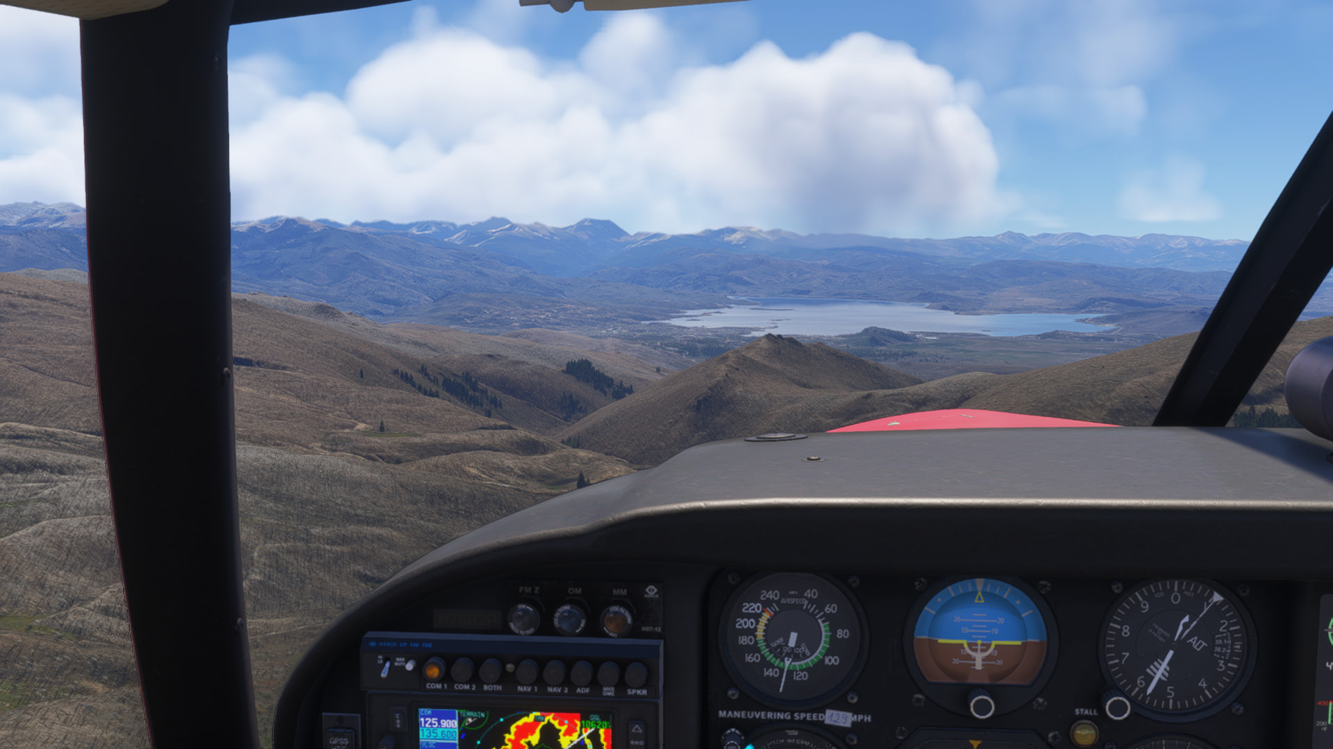
What a view to crest a hill to! Lake Granby, out of view to my left is Grand Lake, a big tourist hotspot.

KLXV, the highest airport in the US, sitting at 9,934ft. It also seems to have the worlds most… Interesting taxiway :stuck_out_tongue: In real life that looks more like an airport road, not for the aircraft. I’m flying at 11,000ft here, and I feel liking I’m entering the pattern.
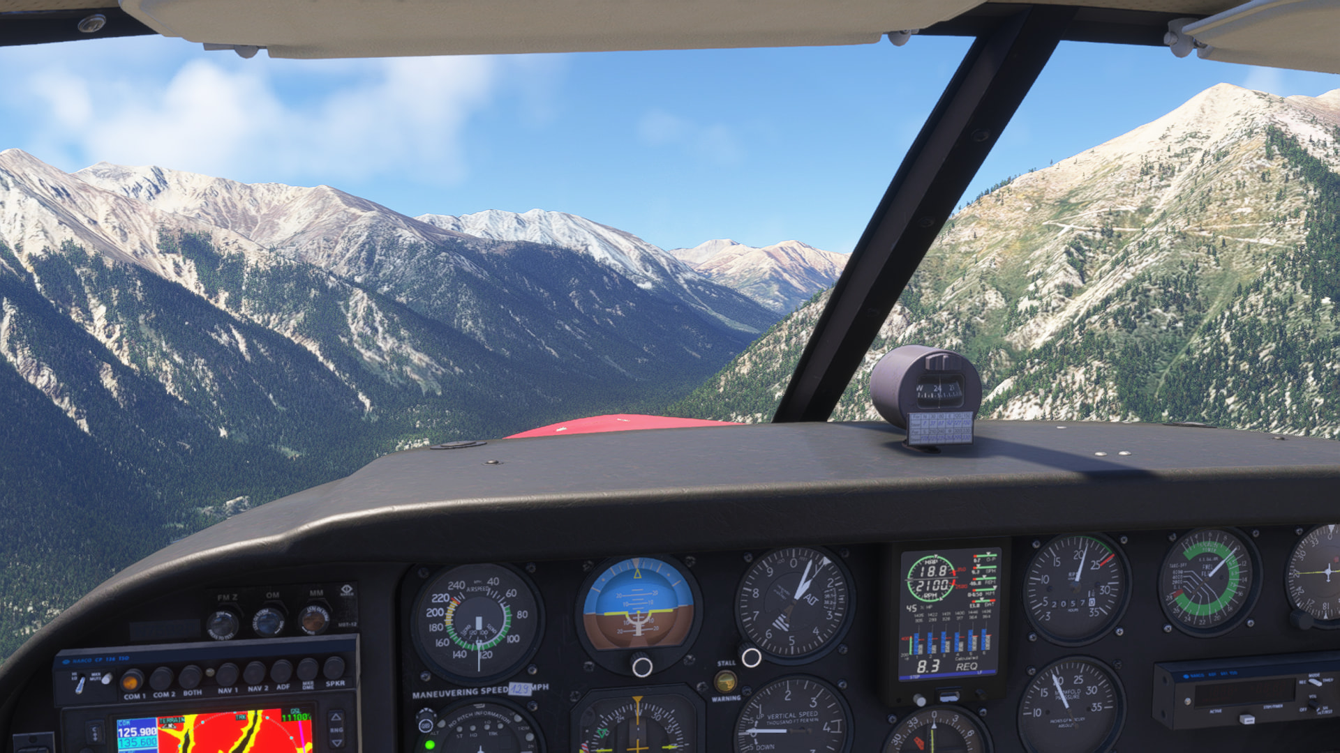
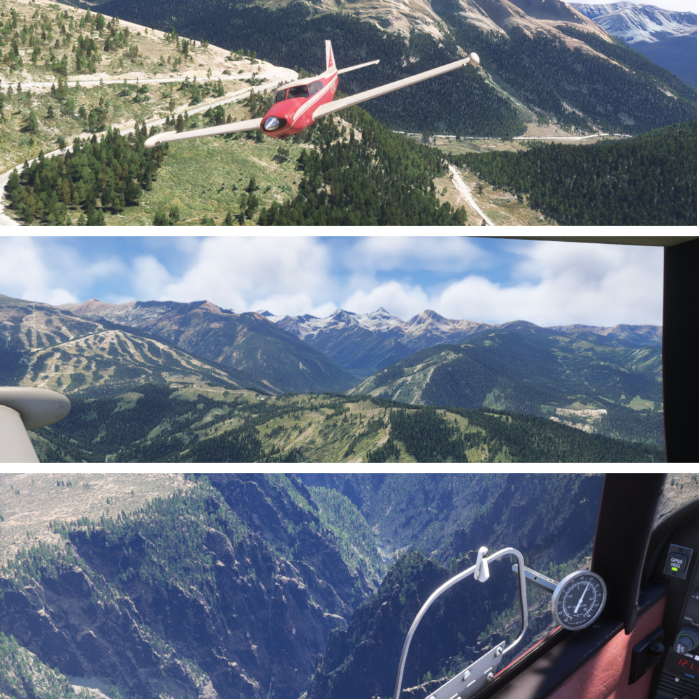
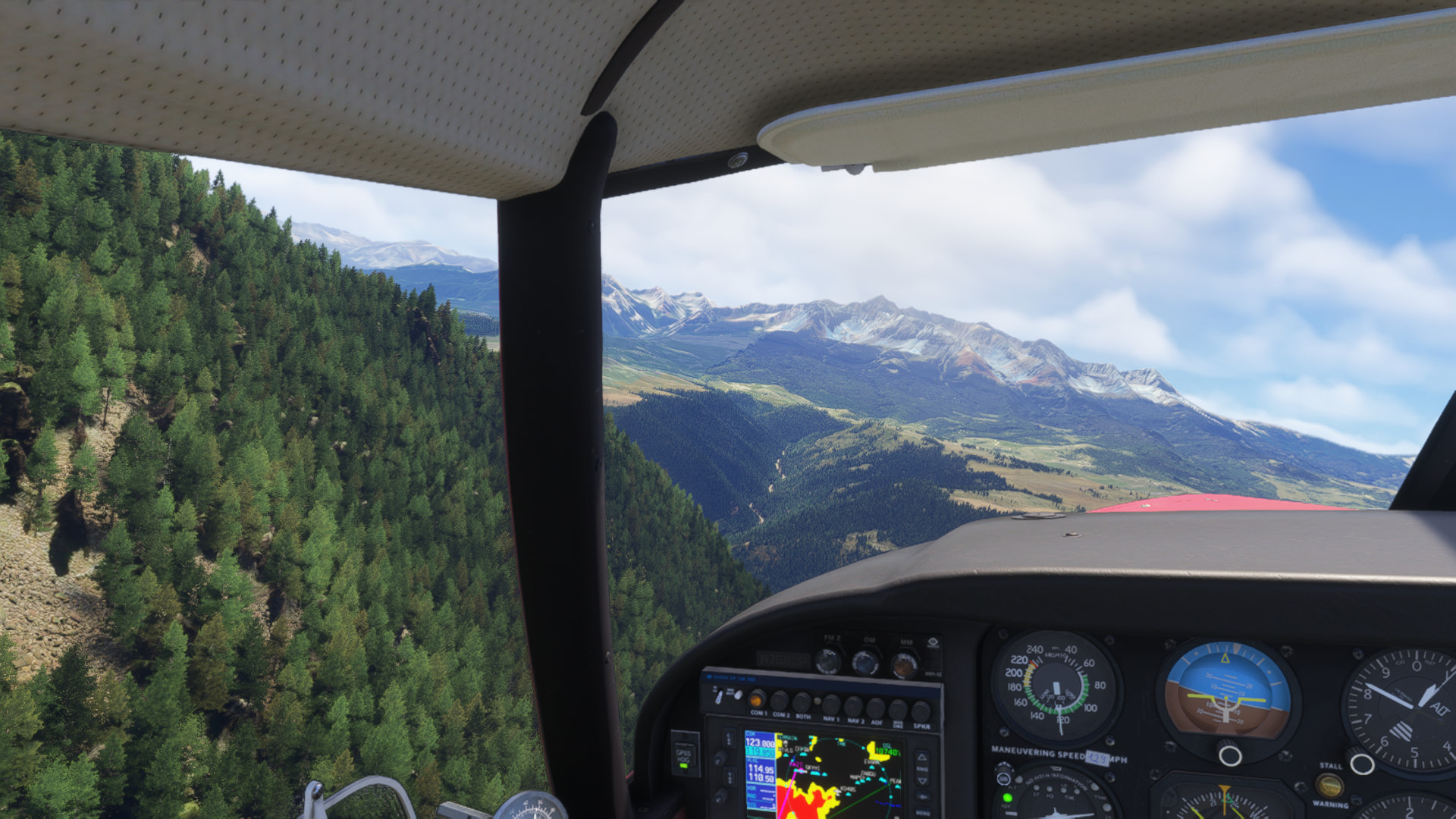
Going in! I’m gonna sit, and ride the updraft as much as I can.

I don’t really like external photos unless I’m on the ground, but this was the only way to capture the road. I’ve had this road saved on maps for years. Just looks like a blast to drive on. Not pictured: The desperate climb to get over this ridge at 12,500. I spun around in the canyon at about 90mph, in a deep bank. - Capitol Peak & friends. - The Gunnison Gorge

Reaching out to touch the trees of Whipple Mountain, west of Telluride

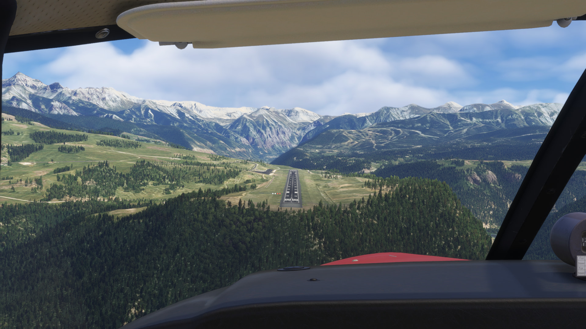
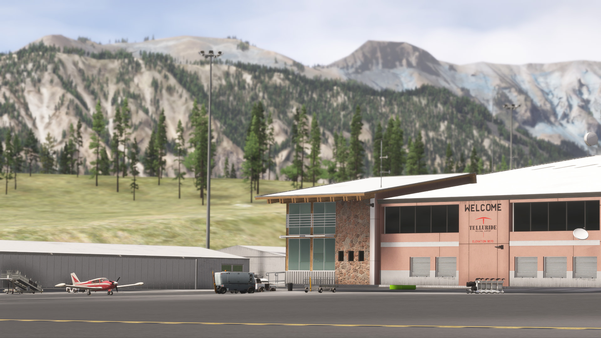
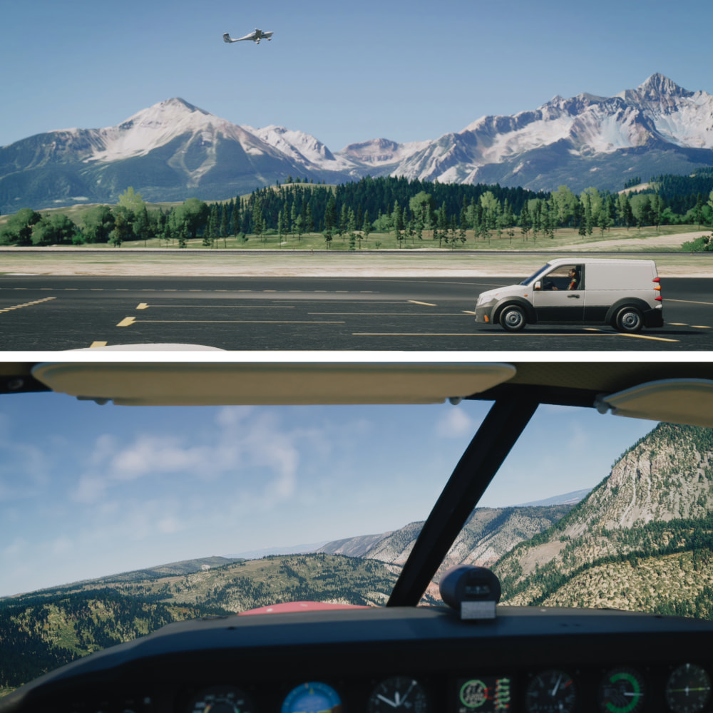
Telluride Regl. 9,078ft, the highest COMMERCIAL airport in the US. You certainly won’t have much of an ability to climb on a go around, nor a lot of room to do it.

Parked up at Telluride!

Volanta

Few more photos for this one, but… come on, this flight sim is amazing, even on my computer. I remember flying around Denver, and the Rockies a lot in FS9. I thought the autogen was good back then.

Leg 8!

Work sucks, it keeps me from doing fun stuff.

KTEX, Telluride Regional Airport Telluride, CO > KVEL, Vernal Regional Airport
Vernal, UT

Arches! Canyon Carving! Barns! Incorrect runway placement! Oh my!

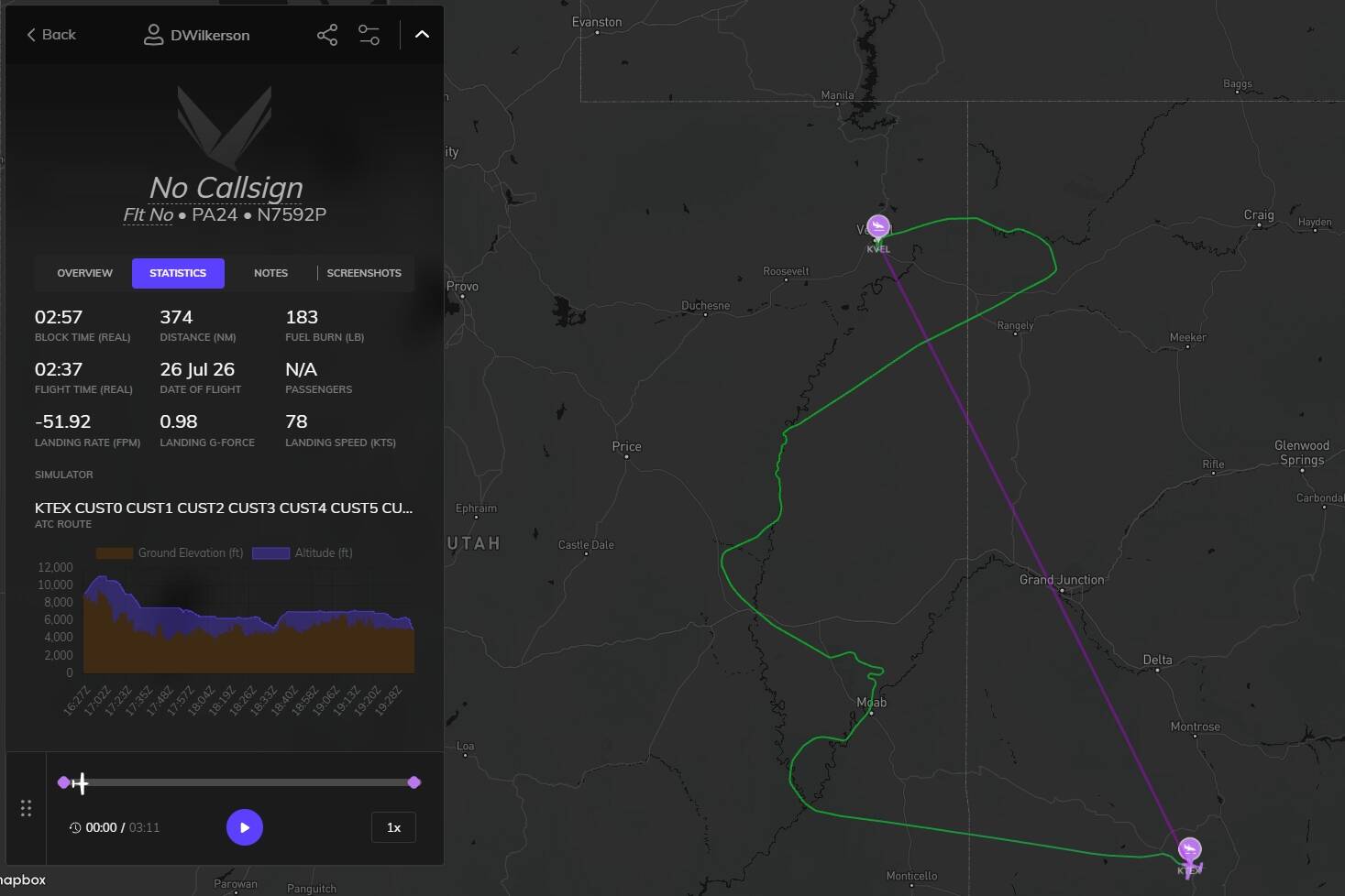
I took off from Telluride, clawing for every foot to clear those mountains, and headed over towards Canyonlands National Park. Just crazy going from tree and snow covered landscapes, and straight into desert just hopping over a mountain peak. At least I got to drop my altitude a bit, and get some life back into that engine.

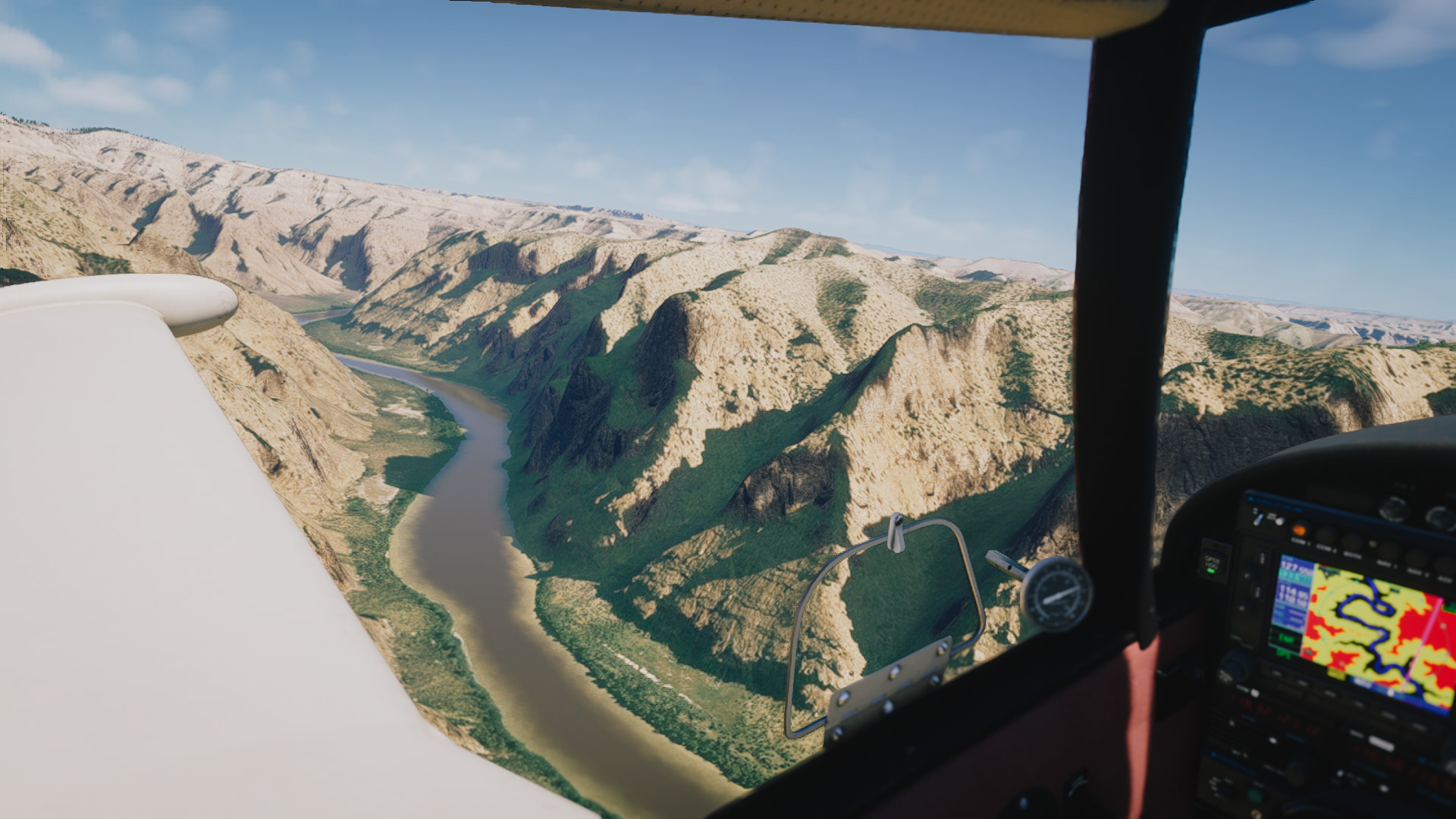
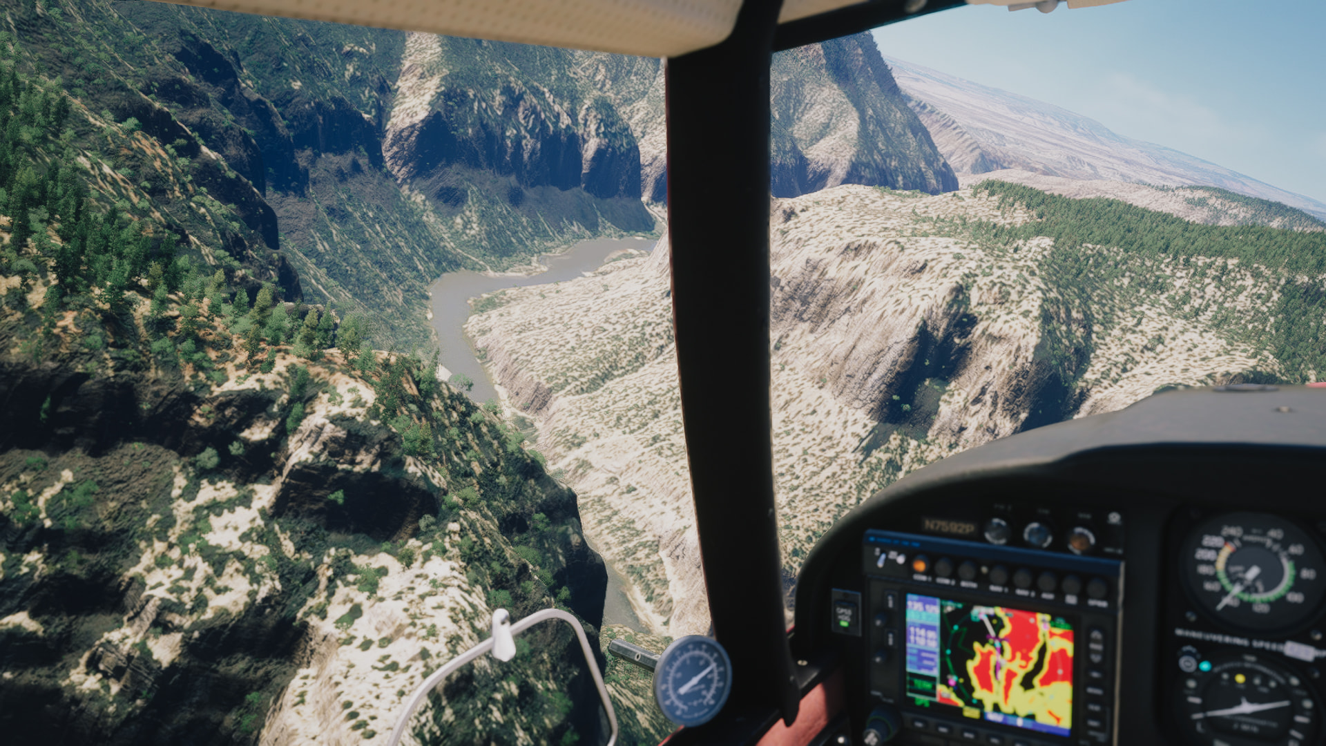
After Canyonlands, I shoot up to Moab & Arches, and looped around a few of those rock formations. Then we flew up to the city of Green River, keeping in the valley west of the Book Cliffs. Spotting the Green River itself, I hugged it, and did a little canyon carving in the Desolation Canyon, putting the Comanche through her paces. When the turns got a little tight, I shot up and over, heading up to and around Dinosaur National Monument, and finally in Vernal.

Nothing bad to report, the Comanche soaked up some of the more hands on, spirited flying. Shes a rocket ship. Okay, one bad thing; it was 97 degrees. I freaking hate the heat.

Watching some traffic take off while I warm up my oil. Once I get going, it’s climb, climb, CLIMB!

Getting to lower my altitude a bit, and enjoy the change of scenery in Canyonlands National Park.

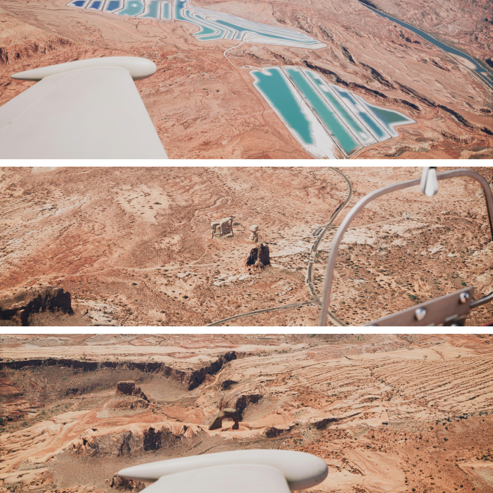
A Potash farm. Saw this during flight planning, and just had to stop by. Looks crazy out here. - Balanced Rock - Delicate Arch. I had to do some zigging, and a zagging for these two!

Book Cliffs. Saw the name, and just had to stop by. I typically read during the longer cruises. That’s one of my favorite things I missed about flight simming… An excuse to read more!

Canyon Carving! Little too much speed, but I was easy on her.

Soon as I hit the apex of the last turn, I kicked the throttle up a bit, and jumped outta there!

Dinosaur National Monument, not canyon running, just slipping though a low spot.

The darker patch is the new runway in real life. I wanna learn how to make airports to fix stuff like this. - Yikes! Don’t wanna slide off the runway here. Don’t… don’t mind the radio tower in the taxiway. It’s fine. - Parked up, and ready to go again!

Volanta.

After this, we head up north for the final time before making our way west to our final stop. Still quite a few stops to go, however!

Missed the 10 picture limit, fixing now!