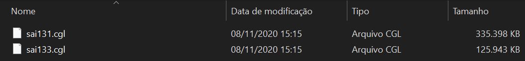
Hi. I already created several custom aerial images and it worked normally, but recently I created one that does not appear complete in the simulator, just a part. The only thing I noticed that was different from this CGL for others is that it was divided into two files while the others are just one,
it looks like a CGL file is not being read by Sim.
Piggy backing on an old post, but i have a problem with a custom aerial imagery project.
I had an old project which was working fine (imagery displaying as expected). I came back to it and decided I wanted to edit out some details (cars in car parks, parked planes etc). After re doing the tiles in QGIS and then using tiles2bing to get everything into the CGL folder the package rebuilds, but won’t display the imagery. All I get is the default data.
Nothing I’ve done has helped (turning off photogrammetry, clearing caches etc…). The package looks fine but simply doesn’t display.
I’m out of ideas. Does anyone have any ideas or links to others with similar problems???
Same here. I created several custom imagery sceneries working fine. But one I created today is not working. Still the default cloudy imagery and generated textures. Any ideas?
Hello,
Im sorry, Im struggling again with custom CGL. Im unable to get it to the sim. It builds without any errors and I believe everything is OK on my side. But when I move the package to Community folder it just wont show up in the sim.
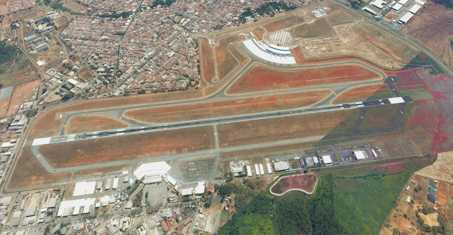
If anybody is interested to help. I Attach the project, its just a simple aerial of LKSZ.
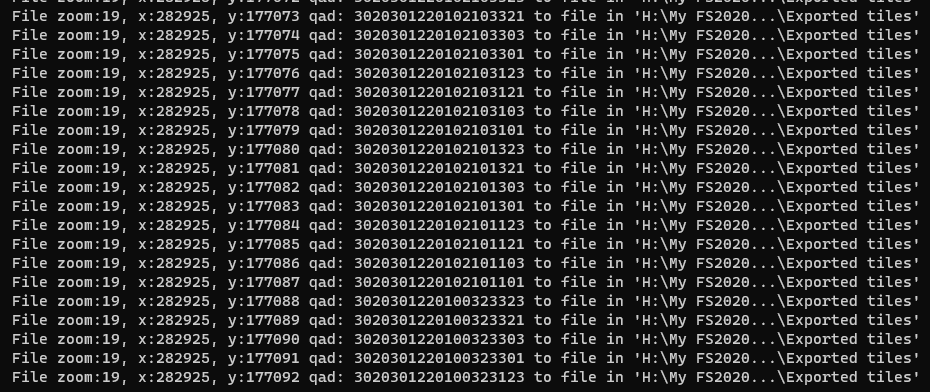
I have georeferrenced the image propperly in QGIS. Did couple of successful exports and now out of the blue its putting my tiles to this locations. Im using tiles2bing.
If anyone is interested to give it a try here are my tiles.
I have discussed this also on FSDeveloper earlier and a guy send me his tool. Basically edited .bat file of tiles2bing with custom folders and vioala it works. With the same tiles it generated correct coordinates. Weird.