UPDATE: First Stage Brest (FR) - Constanța (RO) completed!
UPDATE: Second Stage Batumi (GE) - Sanqaçal (AZR) completed!
Hello everyone!
So after another batch of technical difficulties that made it impossible to do much in the sim (except some flights in Central Europe), I finally fixed everything. Which means it is time for another project: Following Europa Road 60 / E60 all the way from Brest / France to Irkeshtam / Kyrgiztan! Therefore welcome to the first flight from Brest to Nantes!
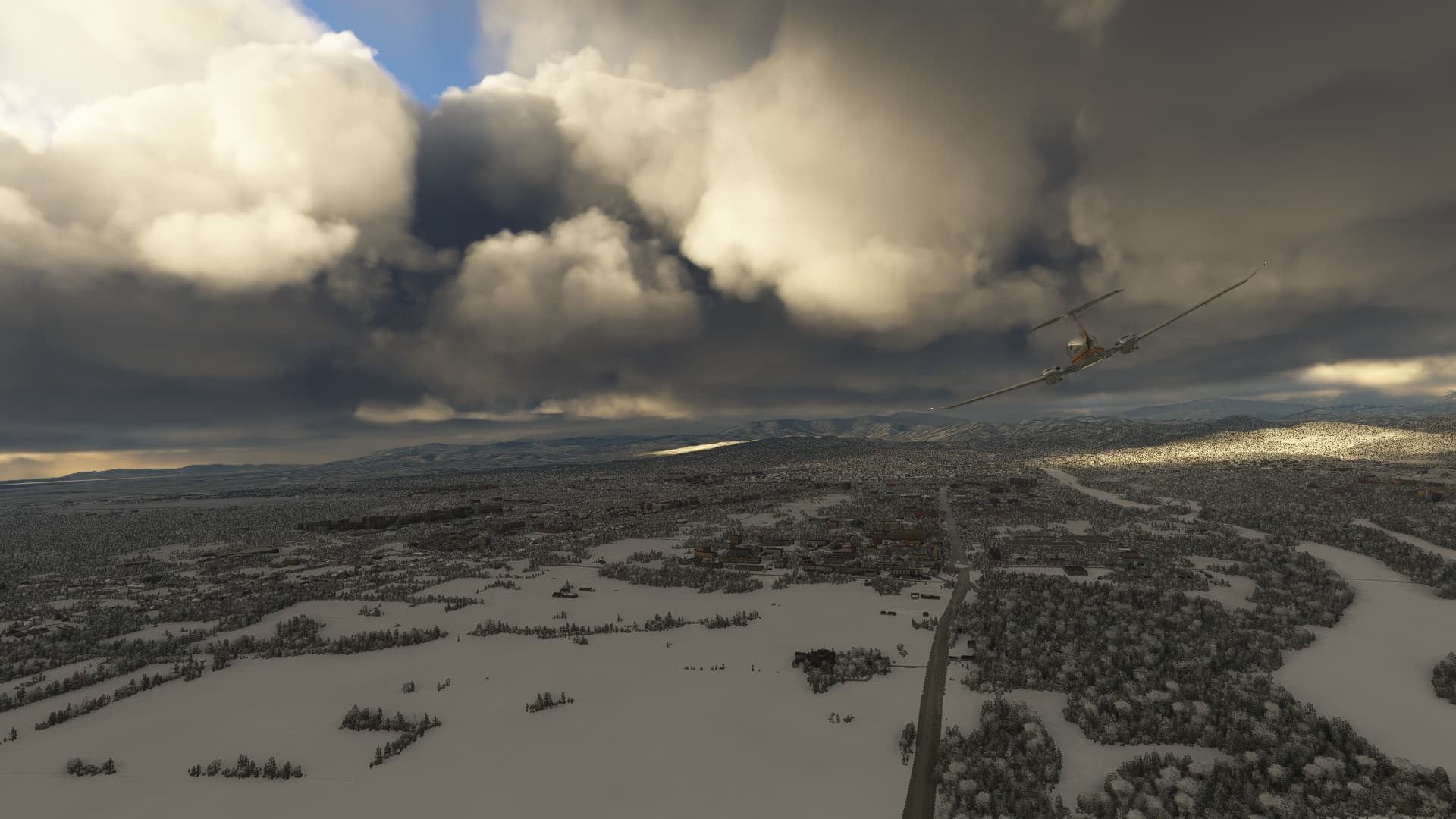
Brest (LFRB) to Nantes (LFRS)
(Please ignore my bad cropping of the map… it’ll get better, I promise!)
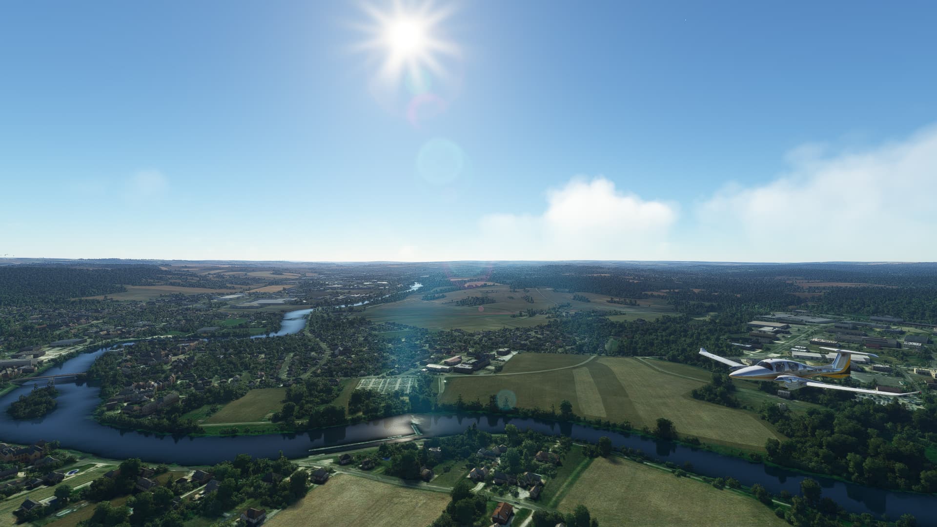
Since the idea for another screenshot collection came when I had already left Brest, I couldn’t take a shot of the first city on our route to the east. But I’ve got some nice shots of the towns Quimper (1), Lorient (2) and Vannes (3) while following Route Nationale 165.
Hello, congratulations you had a wonderful idea to always give new stimuli and fun to fly with general aviation aircraft! Great
1 Like
Thank you for your kind words!
I don’t know why, but I need some kind of “mission” in simulations. I love ETS 2 so I decided to try another “Follow the Road” challenge, but this time with a predetermined route.
Nantes (LFRS) - Tours-Sorigny (LFEN)
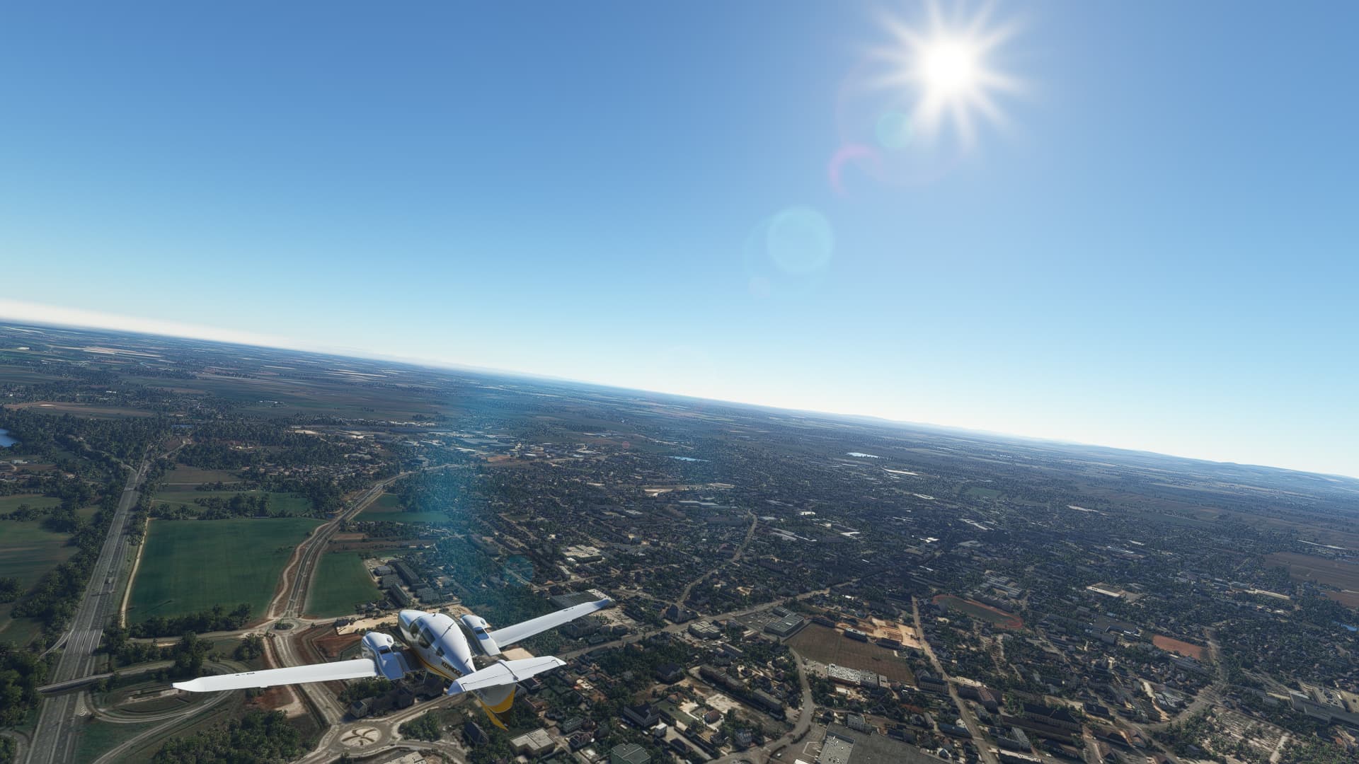
FYI I do NOT endorse intoxicated flying in real life. But since this is a sim and I spent two hours repairing an office chair I feel entitled to a bit of stupid Cuba Libre-fueled road-tripping in MSFS 2020. Therefore I humbly present to you the cities of Nantes (1) and Angers (2) which we found on our way along Highways A11 and A85!
Yes, you had a great idea! Yes, you do well to make sense of the flights you take! Even at this moment with the 737 I planned the round the world, I left Italy and then returned, touring almost all countries. You took some nice pictures too! A question, how do you make the screen and save them in jpg
1 Like
I use the NVIDIA screenshot function which is included in the driver software for my graphics card.
Wow, your world trip sounds fun! Did you post it here on the forums?
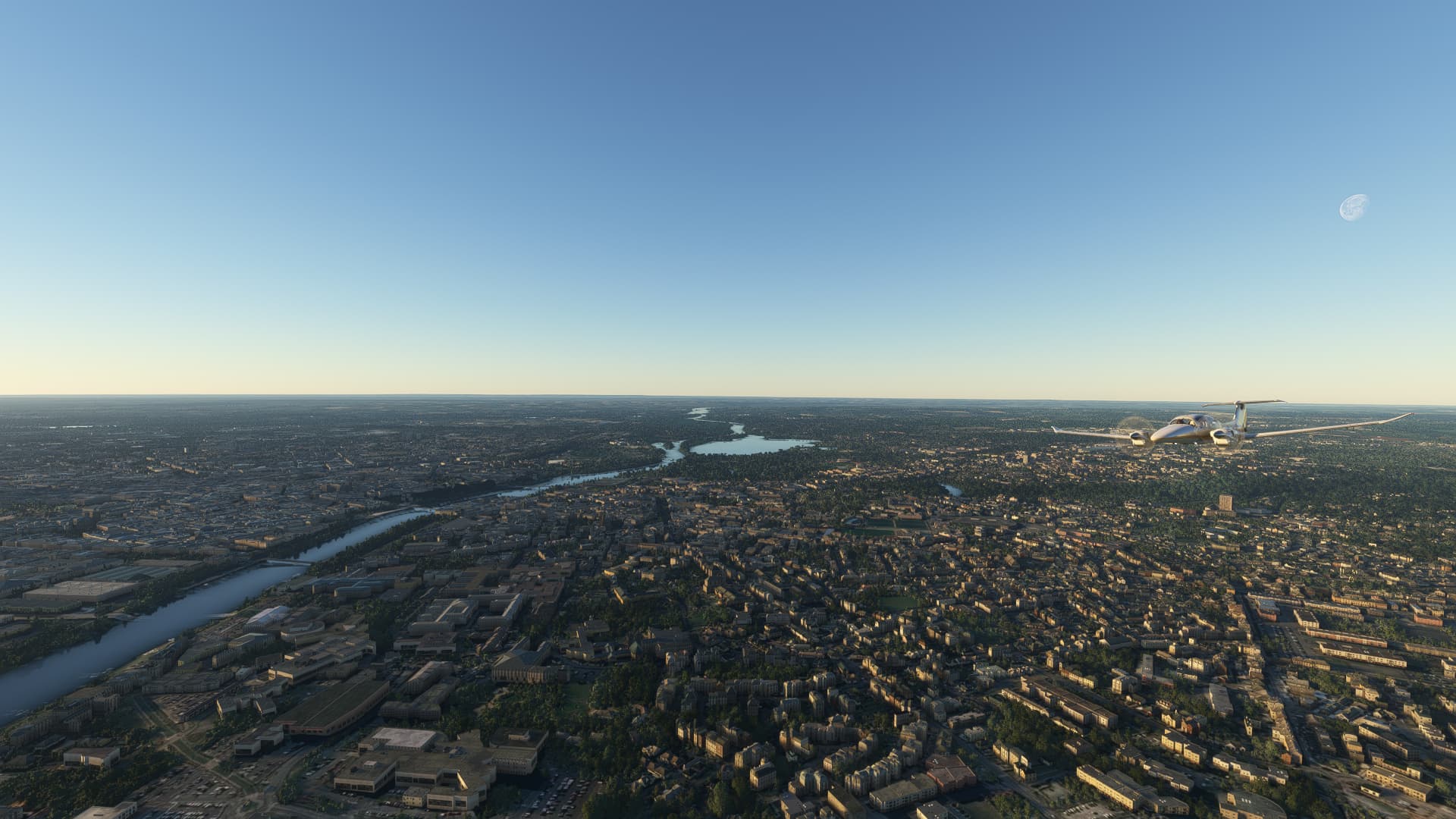
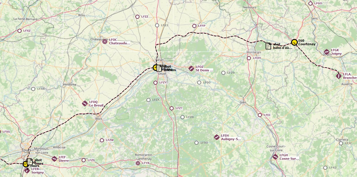
Tours-Sorigny (LFEN) - Auxerre-Branches (LFLA)
A quick FYI if you’re wondering about my map markers: The yellow circles mark interchanges where I have to change highways to stay on E60 (like at Courtenay in the upper right corner where I switched from A19 to A6) while the white notes represent the locations where I took the screenshots.
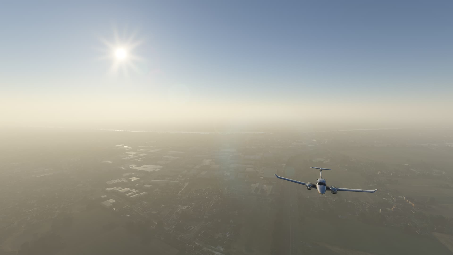
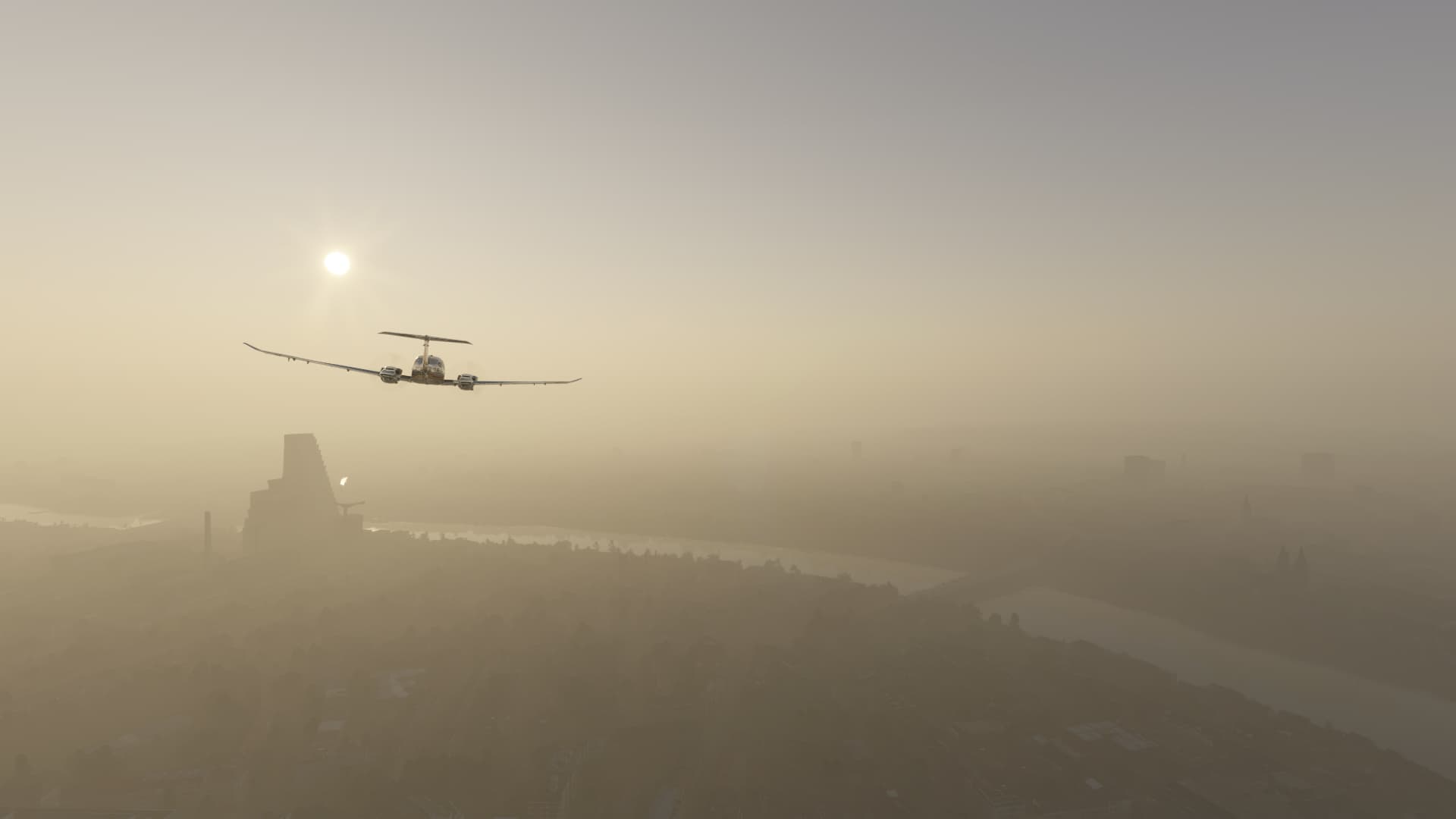
Anyways - we took off of from Tours (1) and passed Orleans (2) on our way to Auxerre. On our way we had to deal with an annoying patch of fog near Orleans, which slowly gave way to clear skies as we followed A19 towards Courtenay (3).
During this trip we used the highways A10 (Tours - Orleans), A19 (Orleans - Courtenay) and A6 (Courtenay - Auxerre).
Auxerre-Branches (LFLA) - Besançon-Thise (LFSA)
Another flight and we are almost at the eastern border of France! Taking off from Branches near Auxerre (1) we circumvented Dijon in the south at Beaune (2) and arrived in Besançon (3) with about 5% fuel left in each fuel tank.
This time we used the highways A6 (Auxerre - Beaune) and A31/A36 (Beaune - Besançon).
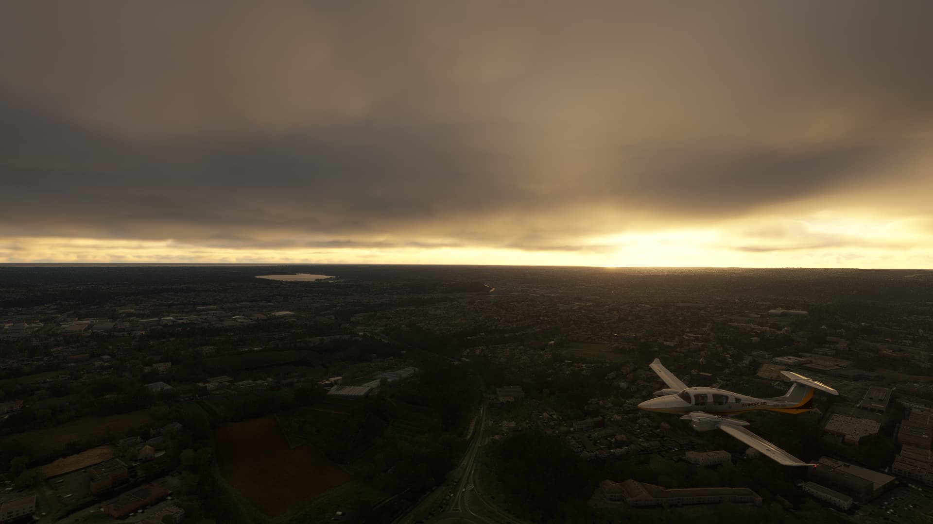
Besançon-Thise (LFSA) - Basel-Mulhouse (LFSB)
Sadly I had to cut this trip short since the weather near the Swiss border turned nasty with both sunshine and dense fog creating such a strong glare effect that it almost blinded me and made navigation nearly impossible.
Still we managed to reach the French border near Basel after passing both Belfort (1) and Mulhouse (2) while using highway A36 (Besançon-Mulhouse) and A35 (Mulhouse-Basel).
Basel-Mulhouse (LFSB) - St. Gallen-Altenrhein (LSZR)
Apparently the weather in Switzerland is just weird in general with dense fog being ever present - at least in the sim. Still we pushed through and reached the Austrian border near St. Margrethen. On our way we passed Basel (1), Zürich (2), Winterthur (3) as well as Sankt Gallen (4) before landing at the southern shore of the Lake Constance (or “Bodensee”).
To reach our destination we used the highways A35 (Basel-Mulhouse Airport - Basel), A3 (Basel - Zürich), A1/A4 (Zürich - Winterthur) and A1 (Winterthur - Sankt Gallen).
St. Gallen-Altenrhein (LSZR) - Brannenburg (EDFF)
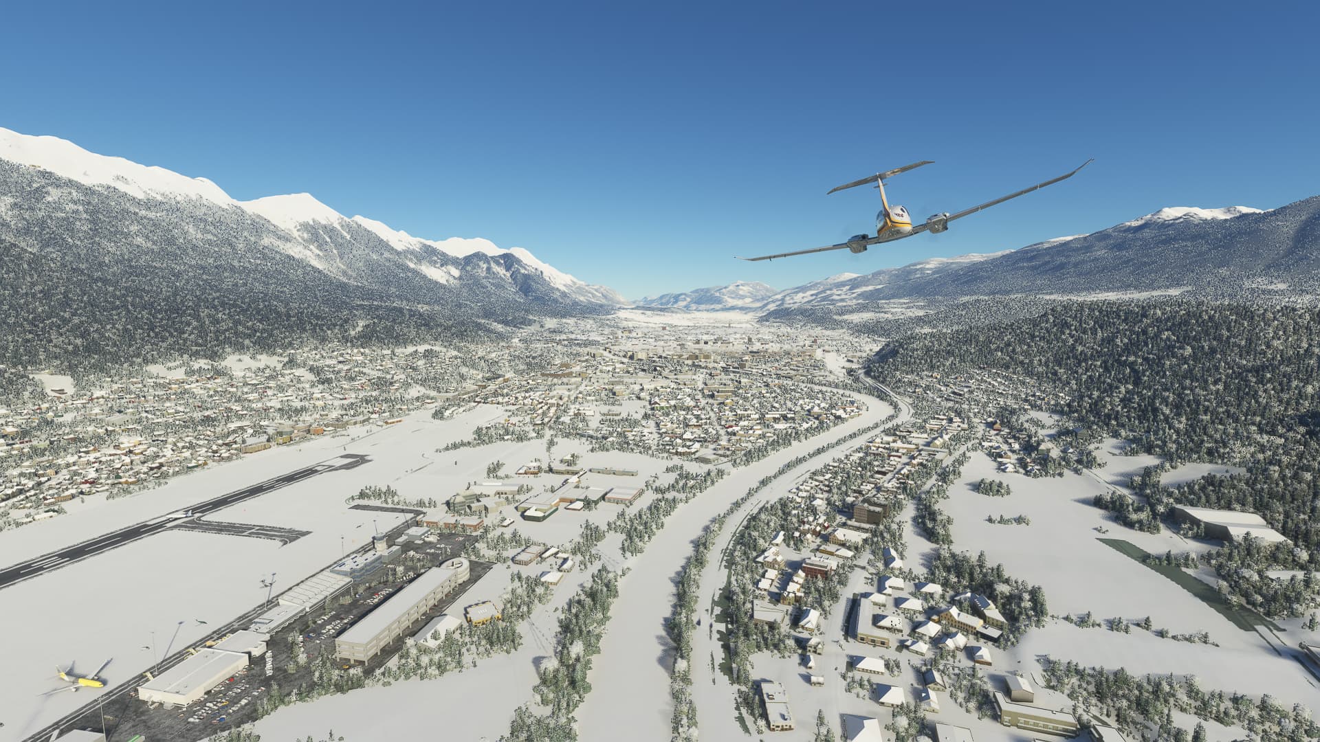
I just want to say that this would have been much more relaxing if there was a good way to see if the stupid highway runs through a tunnel or not. But at a zoom level of 7.4 nm it is almost impossible to determine while using LNM. So I had some sudden and steep climbs on my way from Sankt Gallen to Bregenz (1), then onwards to Bludenz (2) and Innsbruck (3) before crossing the border to Germany.
We used L202 (St. Margrethen - Bregenz), A14 (Bregenz - Bludenz), S16 (Bludenz - Landeck), A12 (Landeck - Wörgl) and A93 (Wörgl - Brannenburg).
Brannenburg (EDFF) - Gmunden-Laakirchen (LOLU)
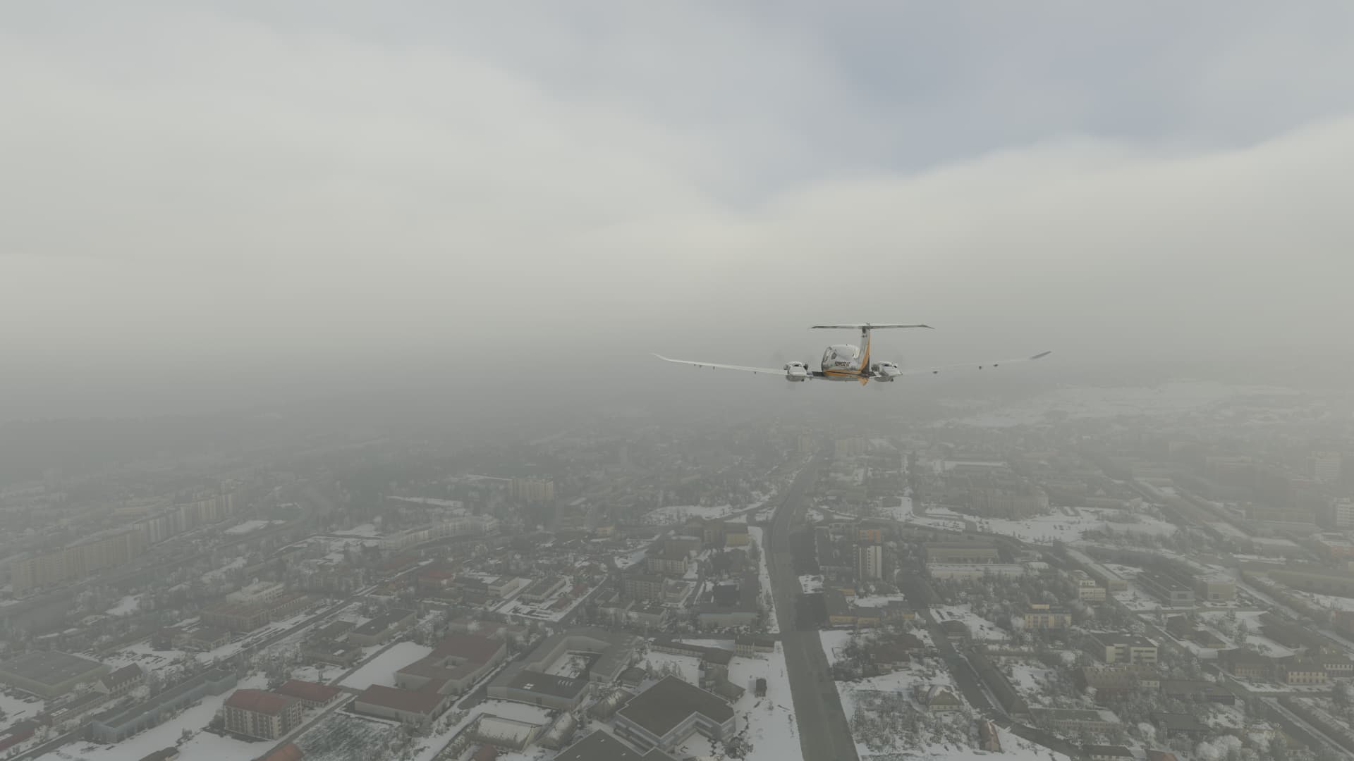
I had to cut this flight short due to the heavy fog in Austria. I had to fly all the way from Rosenheim (1) through the Attersee (2) without seeing anything around me. Since there were more fog banks towards Linz, our next interchange point, I decided to postpone the next trip until it clears a bit.
Despite our struggles we used the highways A8 (Rosenheim - Salzburg) and A1 (Salzburg - Laakirchen) to travel about three quarters of the distance from Rosenheim to Linz.
Gmunden-Laakirchen (LOLU) - Wien-Schwechat (LOWW)
Another day of flying through dense fog in Upper Austria, but this time with more clearings where I could take a few nice shots! We started in Laakirchen (1), then continued to Linz and St. Valentin (2), crossing the Danube near Ybbs (3) before landing in the Austrian capital of Vienna / Wien (4).
To reach our destination we used the highways A1 (Laakirchen - Altlengbach), A21 (Altlengbach - Wien) and S1 (Wien - Airport Wien-Schwechat).
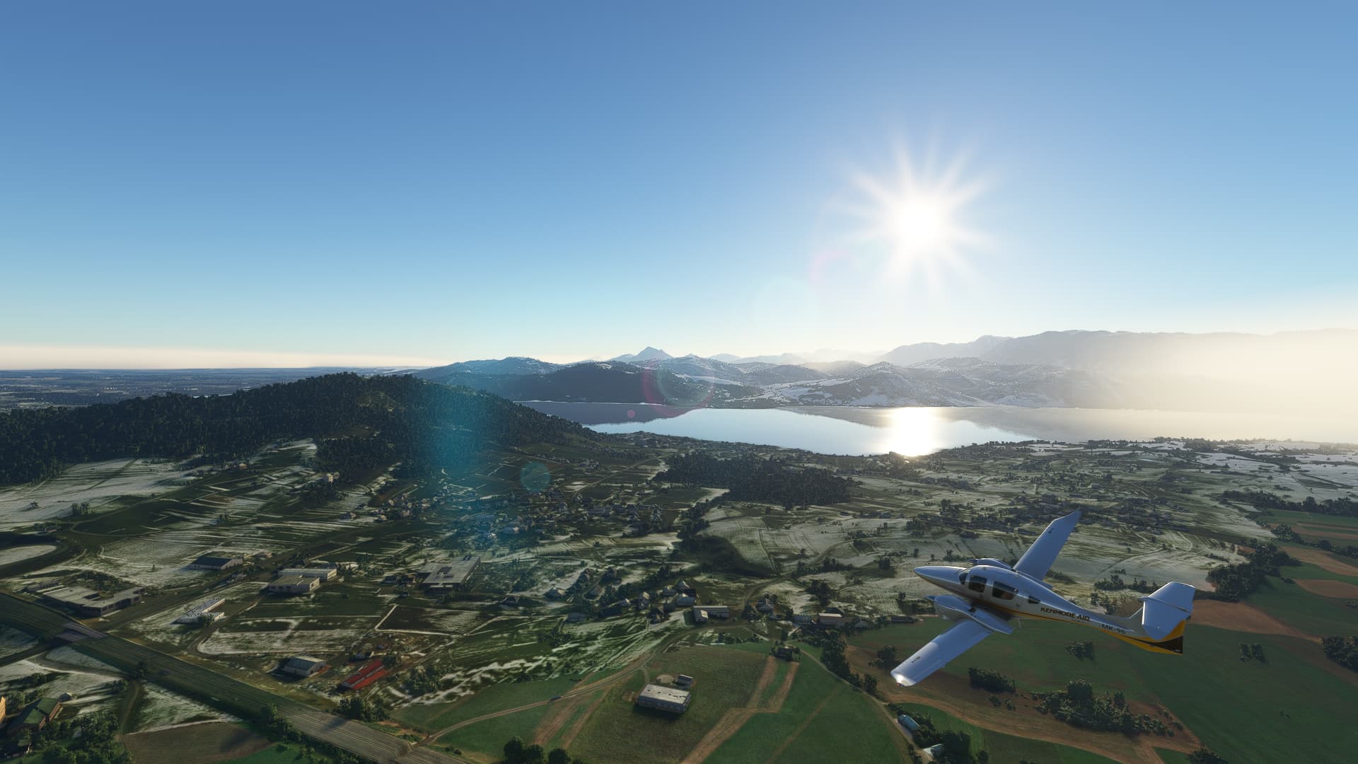
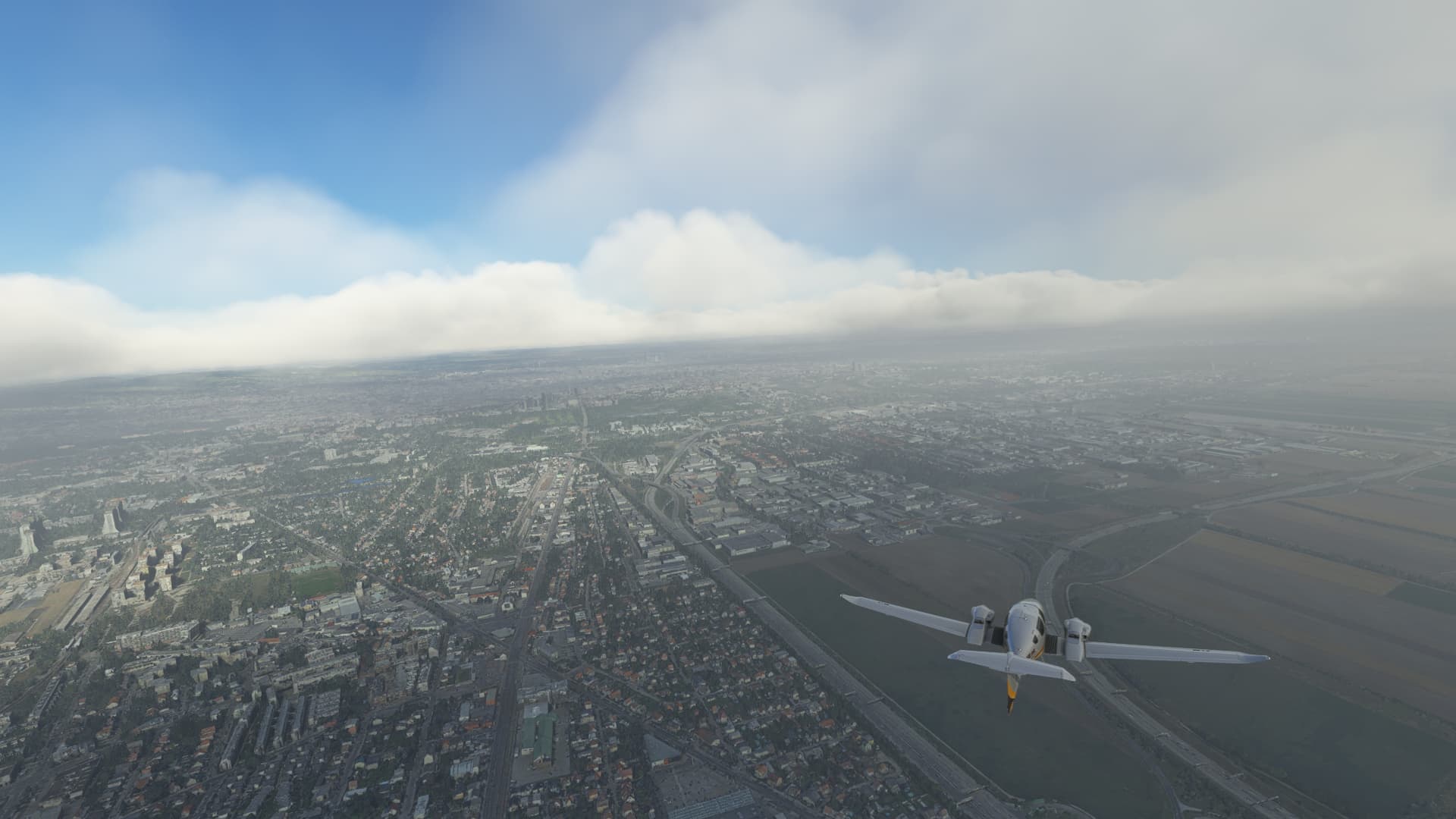
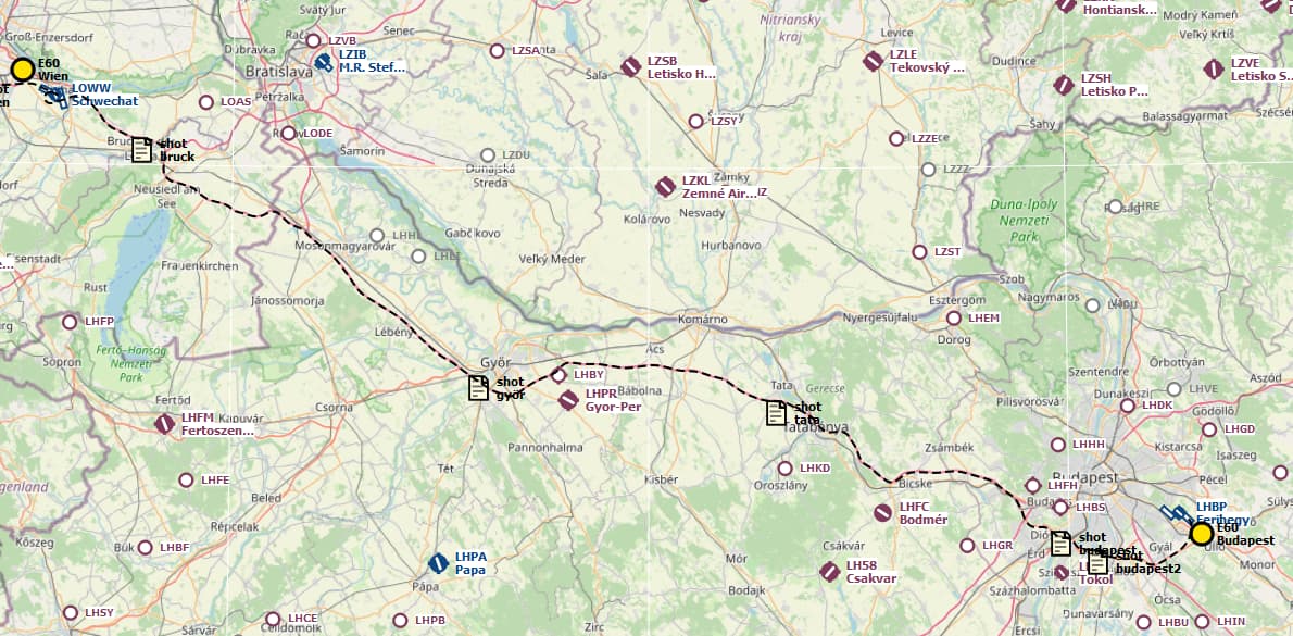
Wien-Schwechat (LOWW) - Budapest-Ferihegy (LHBP)
Finally we cleared the fog banks of the Alps (except of a small one near Györ) as we entered Hungary! We left Vienna, passing Bruck an der Leitha (1), Györ (2) and Tata (3) before arriving in the Hungarian capital of Budapest (4).
We used the highways A4/M4 (Wien - Budapest) and M0 (Budapest - Airport Budapest-Ferihegy) on our trip.
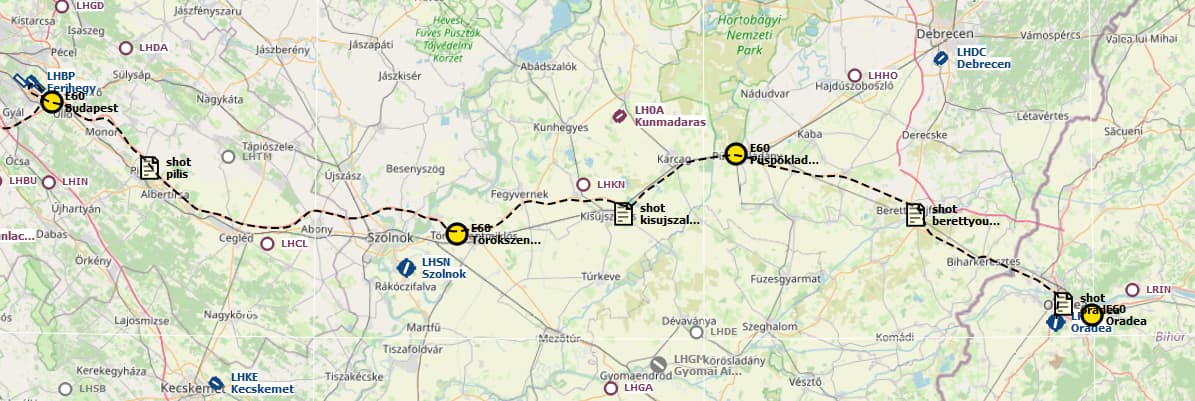
Budapest-Ferihegy (LHBP) - Oradea (LROD)
Today we crossed the Great Alföld / Great Hungarian Plain from the capital of Budapest to the Romanian city of Oradea. On our way we struggled (again) with the ever-present fog, which slowly gave way to clear skies again, starting near Pilis (1). Passing Kisújszállás and its ponds (2) we continued to Berettyóúfalu (3) before crossing the border and entering Oradea (4).
We used Highway M4 (Budapest - Püspökladány) and Main Road 42 (Püspökladány - Biharkeresztes) before crossing the border on National Road 1 (Biharkeresztes - Oradea).
Oradea (LROD) - Campia Turzii (LRCT)
So I am getting increased texture loading issues since yesterday, which can be resolved by active pausing and waiting for it to load. According to threads in this forum it may point to server issues so I am hoping they will be resolved soon. Despite these problems we managed to get from Oradea to Campia Turzii while flying through Romania’s valleys and mountain passes (1), passing the cities of Cluj-Napoca (2) and Turda (3).
Something new happened to us, too! We stayed - for the first time during this project - on the same road for the entire trip: The road in case being the national route DN1 (Oradea - Campia Turzii).
Campia Turzii (LRCT) - Brașov-Ghimbav (LROV)
I tried my luck again and didn’t get as many texture loading issues as during the last flight. Which is great since this flight was probably one of the most scenic trips since we left Brest. Taking off from Campia Tursii we passed Târgu Mureș (1) and Sighișoara (2) before crossing a ridge of the Carpathian Mountains and entering the lowlands near Maierus (3).
For the second time in a row we used a single road to get to our destination. This time it was the national route DN13 (Campia Tursii - Brașov).
Brașov-Ghimbav (LROV) - Urziceni (LRAL)
This was our penultimate flight on the European continent! We took off from Brașov (1), followed the road across the Carpathian Mountains past Busteni (2) to Ploiești (3) before visiting the Romanian capital of București (4).
We used the national routes DN1 (Brașov - București) and DN2 (București - Urziceni) to get to our destination.
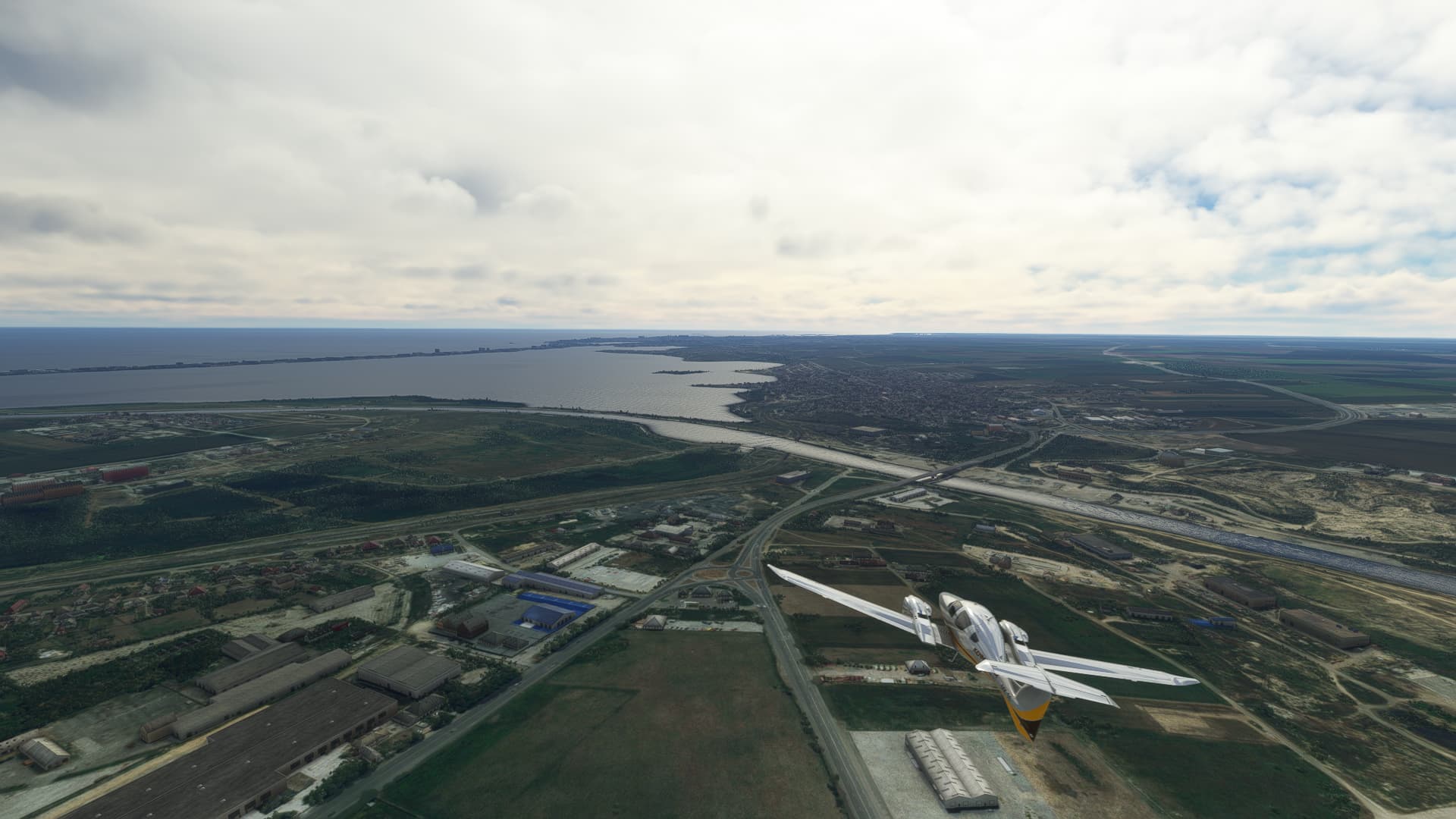
Urziceni (LRAL) - Constanța (LRCK)
And here we are - on the Black Sea Coast of Romania! Starting in Urziceni we followed Ialomita River (1) to Slobozia (2), where we continued northeastwards. At the western bank of the Danube we witnessed a beautiful rainbow (3) before continuing onwards to Ovidiu (4) and Constanța.
For this flight we stayed on DN2 (Urziceni - Constanța) for the entire time.
Disclaimer: As we reached Constanța we will now utilize the ferry to Batumi in Georgia to continue on E60!
Here’s the map for the first stage of our trip:
Intermezzo: Black Sea Crossing
Transport: Ferry
Departure: Constanța, Romania
Arrival: Batumi, Georgia
Batumi (UGSB) - Kutaisi West (UG26)
Welcome to the second stage of our trip along Europa Road 60 / E60 from Brest to Irkeshtam! After ferrying across the Black Sea and arriving in Georgia, we flew north along the coast, passing Batumi (1) and Poti (2) before turning east. We crossed Tekhuri River in Senaki (3) and finally arrived in Kutaisi (4).
We used the international roads ს2 (Batumi - Poti) and ს1 (Poti - Kutaisi) to reach our destination.