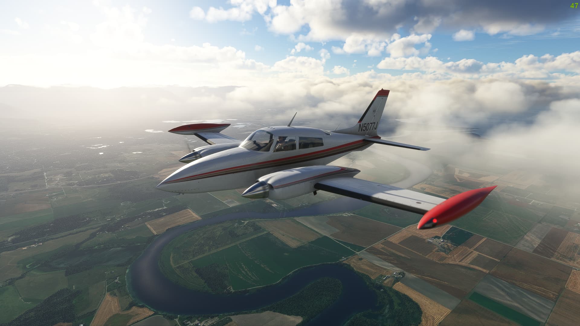
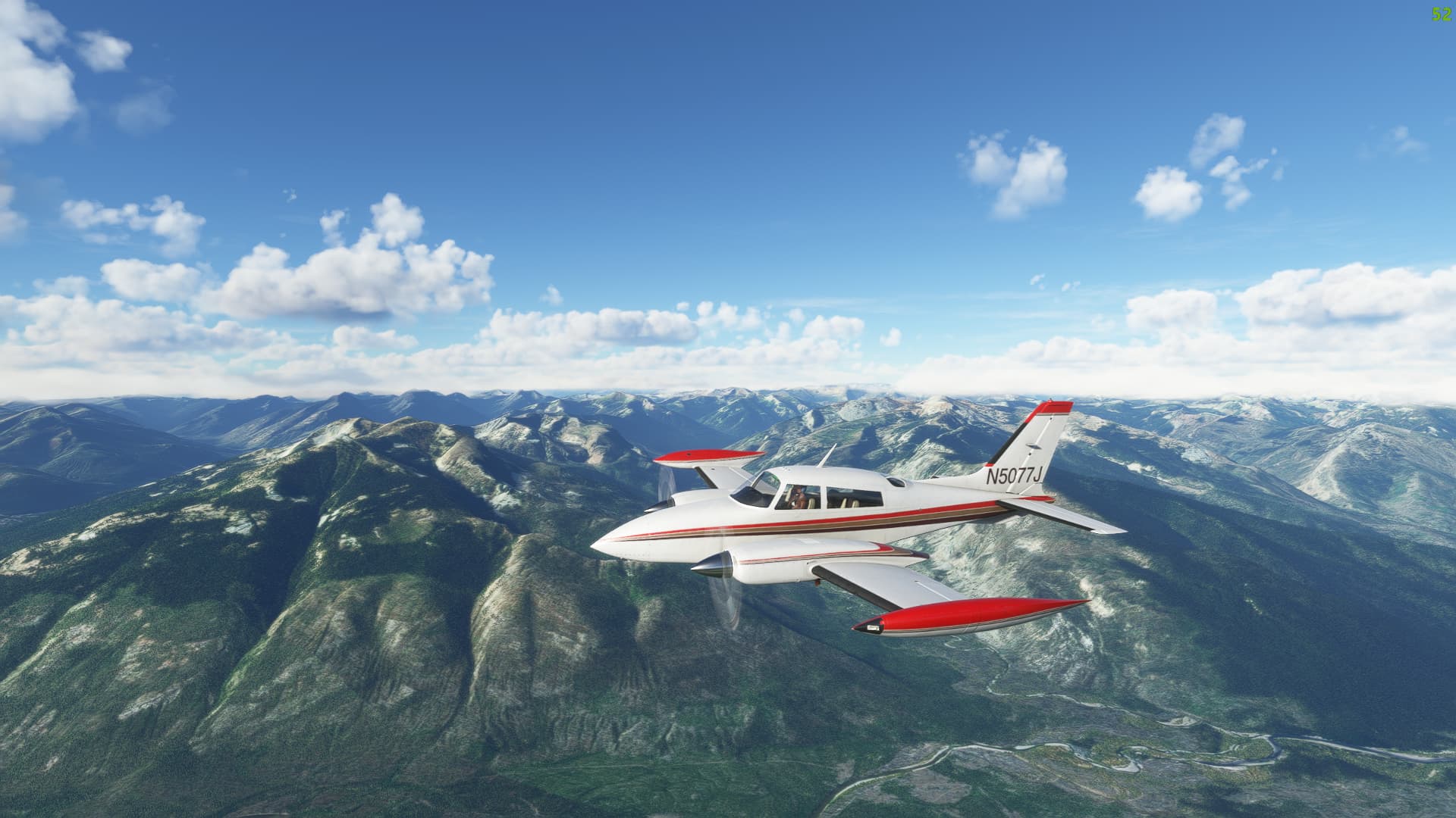
A great VFR route to see some beautiful back country terrain along the spine of the Rocky Mountains.
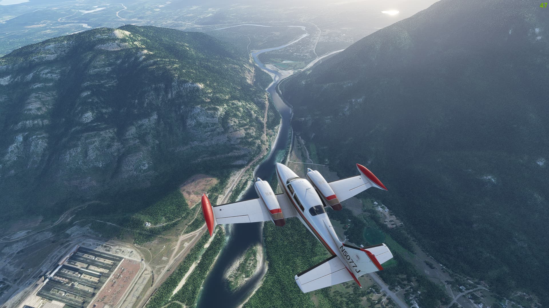
Depart Polson (821), climb north over Flathead Lake, track east through Bad Rock Canyon, and then turn south to follow the South Fork Flathead river overhead the Hungry Horse Dam. Follow the length of Hungry Horse Reservoir to its far end, where you’ll be able to pick up the river that feeds the body of water.
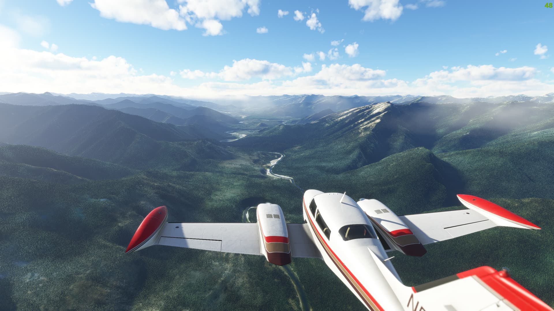
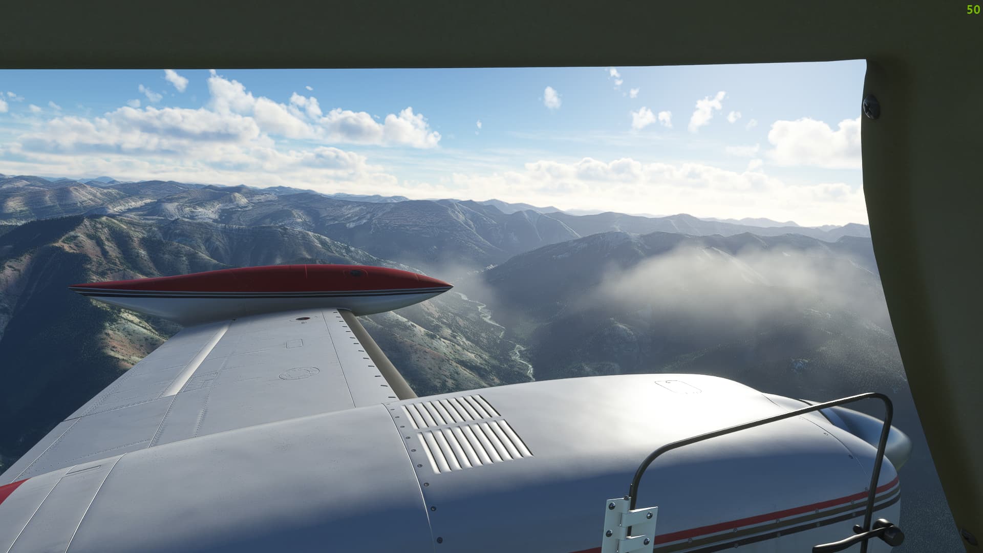
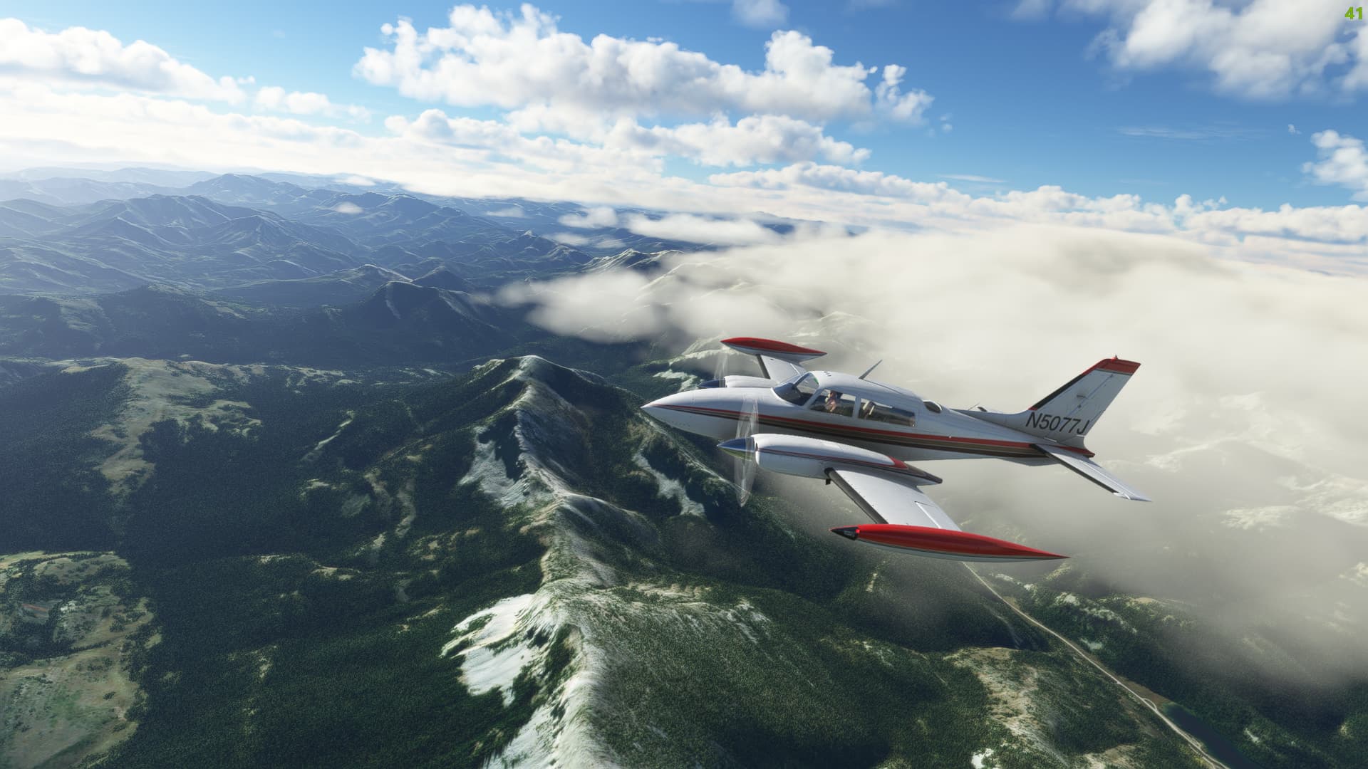
Follow the valley system that is formed by said river, passing overhead Spotted Bear airfield and Meadow Creek airfield. Make a slight left turn abeam Big Salmon Lake, climbing to at least 9000 feet to clear the ridgelines around Silvertip Mountain.
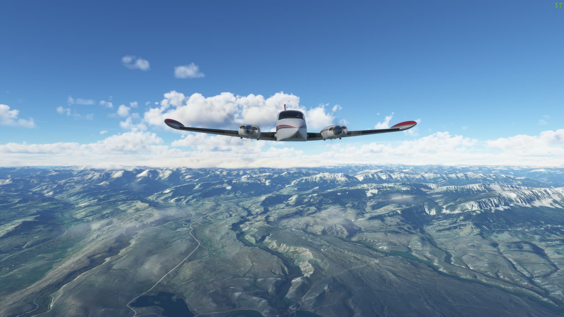
Once back out over the plains, a steady descent down to 5000 feet on a north easterly heading will line you up for an approach at Fairfield (5U5).