From one of the best flights in MSFS so far. Departed from SPGL Chagual, situated at an elevation of 3967ft in a deep canyon in the Peruvian Andes. Also it’s one of the enhanced airports.


The flight took me over the Andes which looked absolutely spectacular with real weather. Had to stop for some fuel at SPNM Nuevo Mundo which is located along one of the many riverbanks in the lush rainforest.

Departing this small airfield as the sun was setting over the rainforest turned out to be quite magic!


The RNAV approach into Cusco was interesting as it was necessary to climb to 25000ft which is the max cruise altitude for the Caravan. Nevertheless it went fine and I arrived safely at the airport which has an elevation of almost 11000ft.

6 Likes
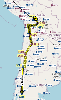
I’m going to add to this rather old topic with my trip down the spine of the Andes in MSFS 2024. This is the northern section of the route that I intend to follow:
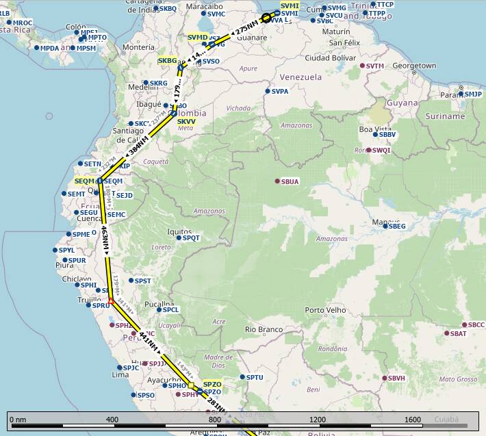
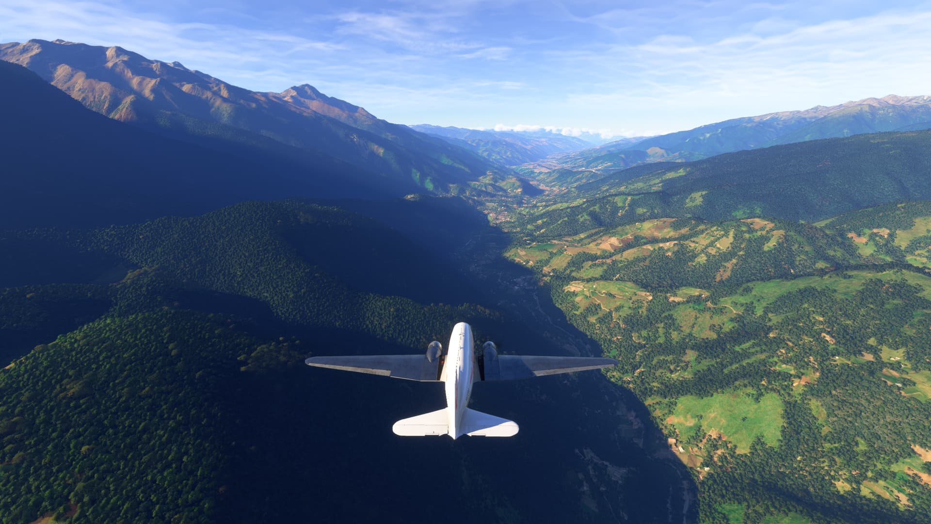
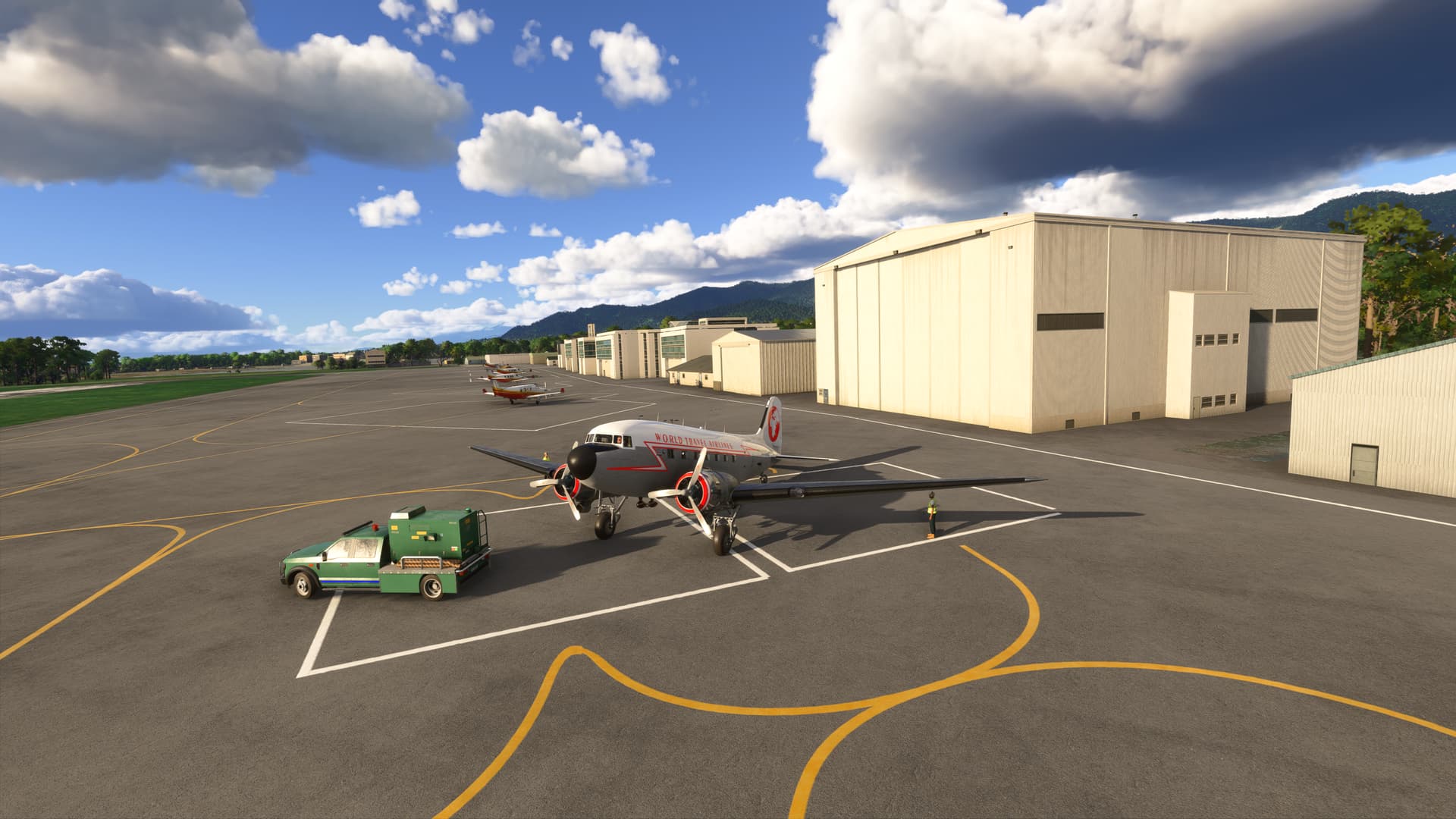
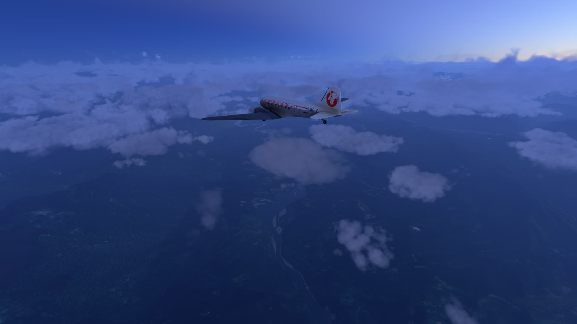
My plane of choice for this trip will be the iconic Douglas DC-3. Here we are at the start of the trip in Caracas just as dawn is breaking at Simon Bolivar Intl (SVMI):
Leaving the city behind, we turn SW towards Lago de Tacarigua:
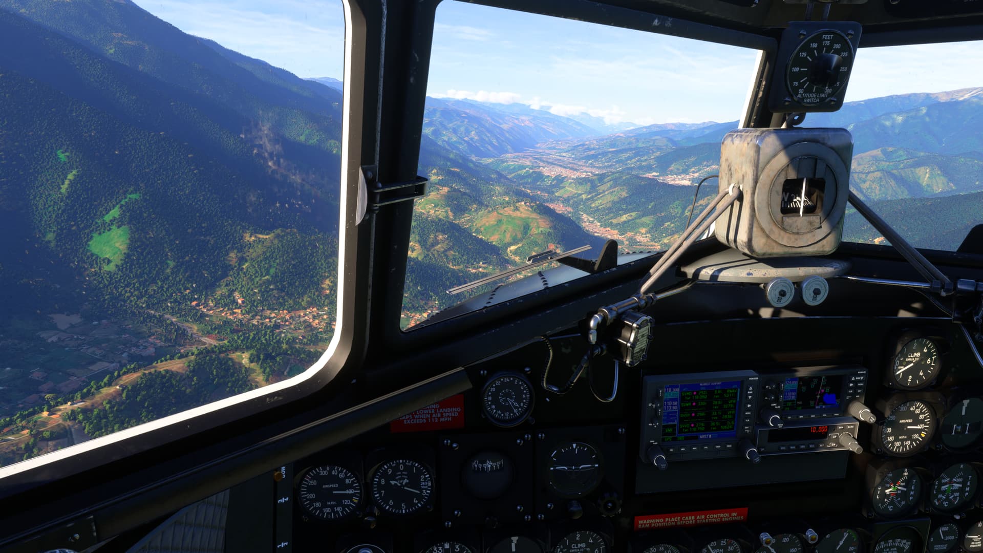
Tropical green. We are at 12,000 ft, north-east of Barinas Luisa Caceres De Arism (SVBI):
Pico Mucunuque (4,609M). Our first stop, Alberto Carnevalli (SVMD), is about 25 NM away, so we need to bear right past the peak and meet the T-5 highway as it winds its way down the valley:
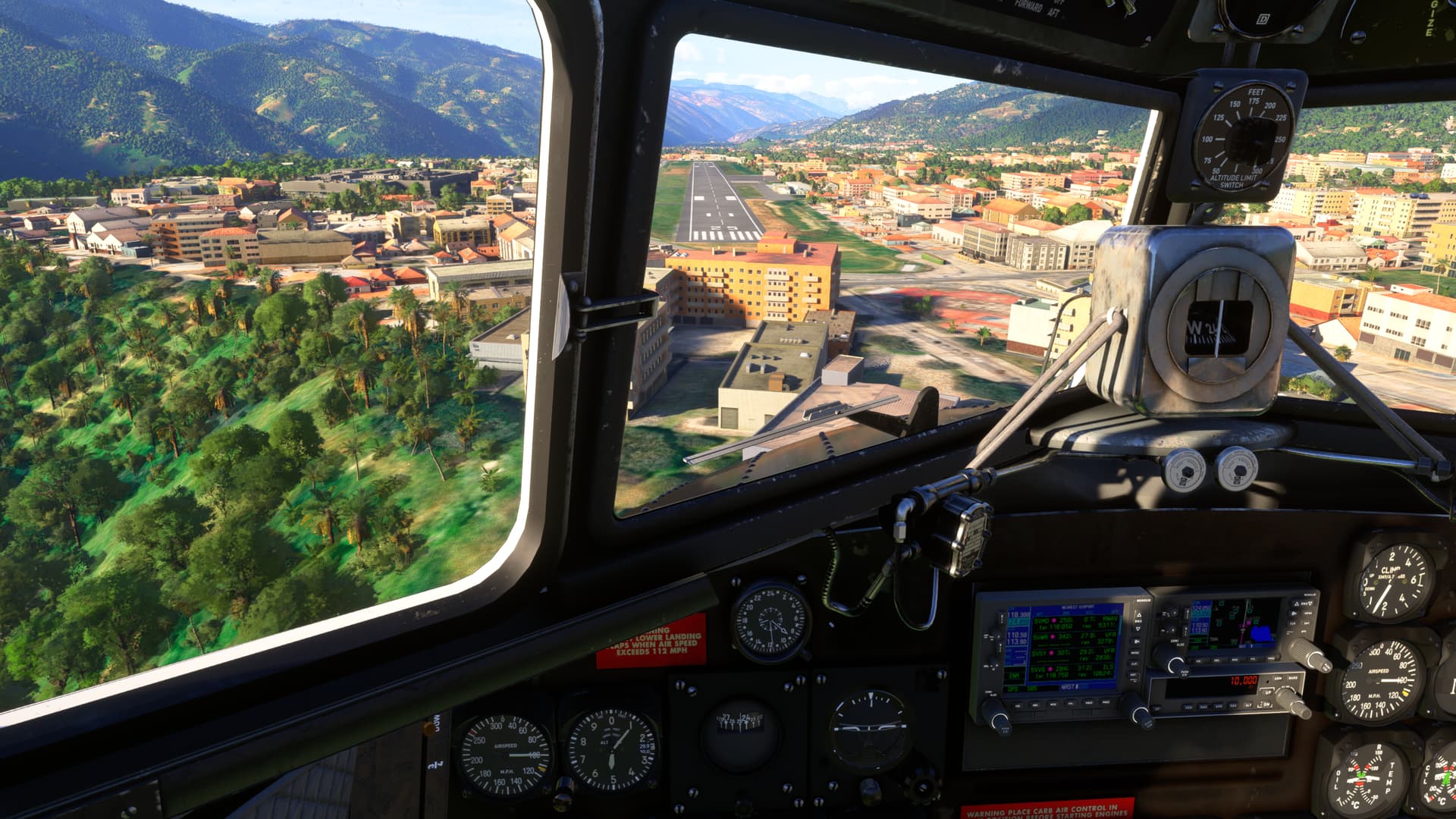
Lining up for a straight-in approach:
We need to throttle right back in order to drop the 7,000 feet to the airport:
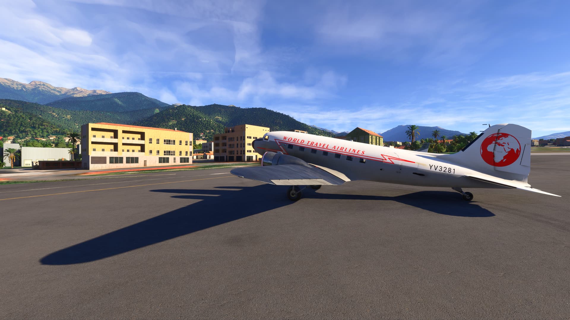
I’m not sure I’d want to live in the yellow apartment building…
…a bit noisy at times, don’t you think?  :
:
Parked at the apron of Alberto Carnevalli (SVMD). Flight time was 1 hour 40 minutes.
4 Likes
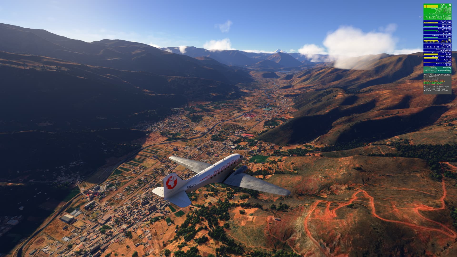
Leg 2: Jorge Wilstermann Intl (SLCB) to Vanguardia (SKVV) via Palonegro (SKBG)
It’s a fine day as we continue our trip south:
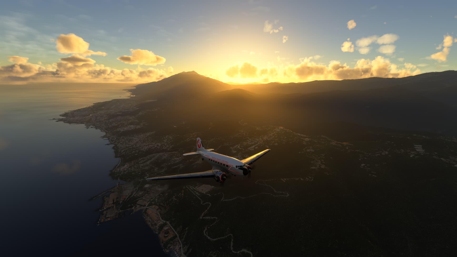
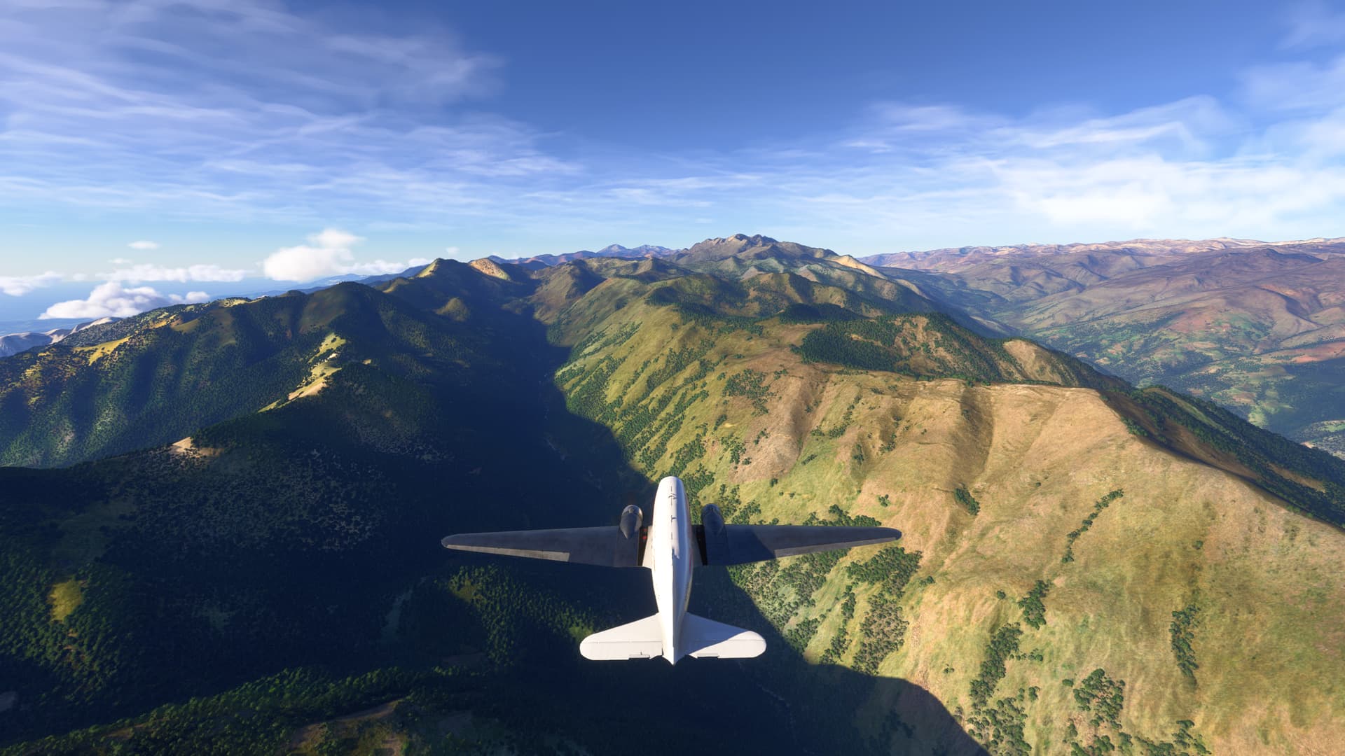
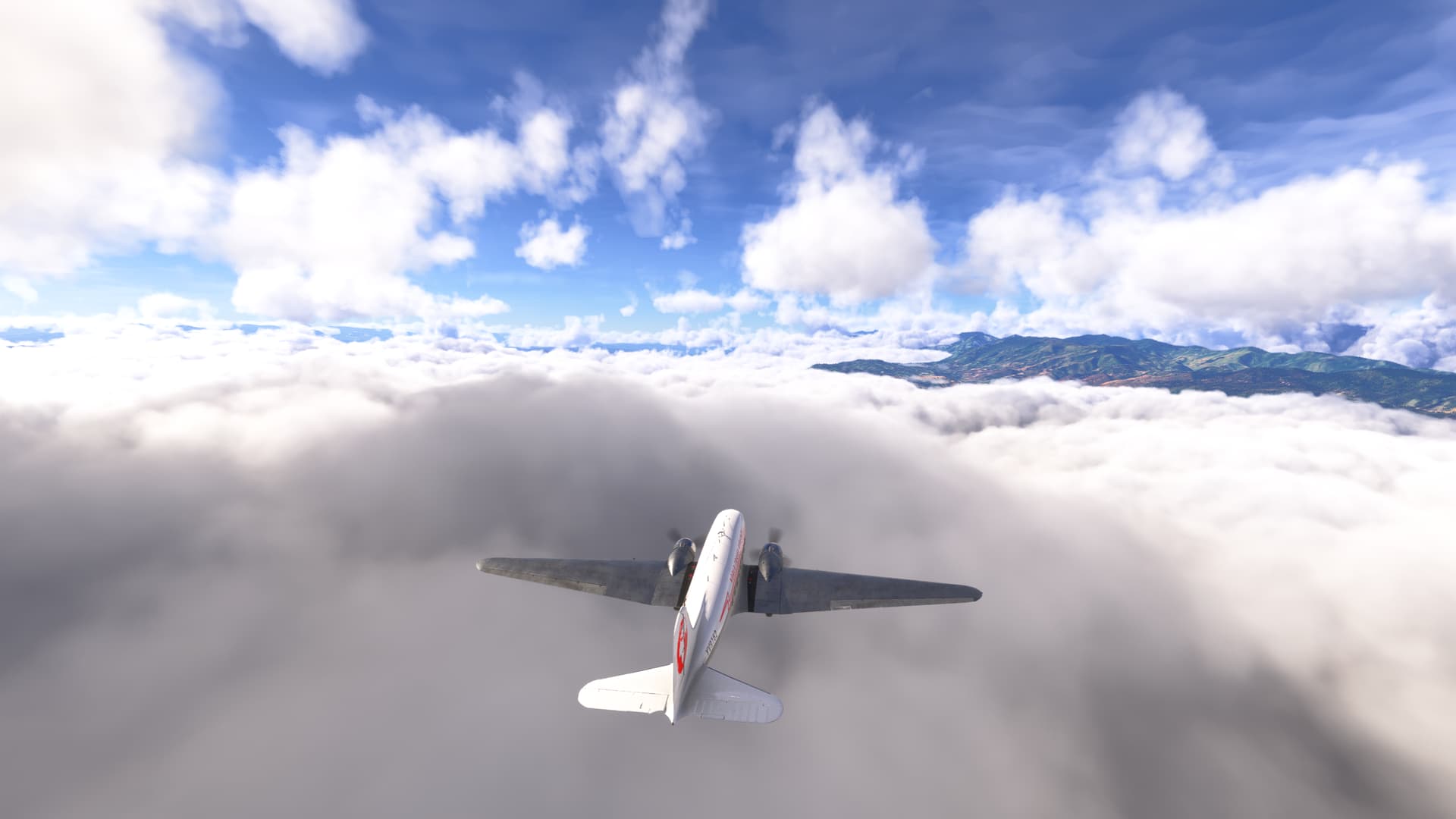
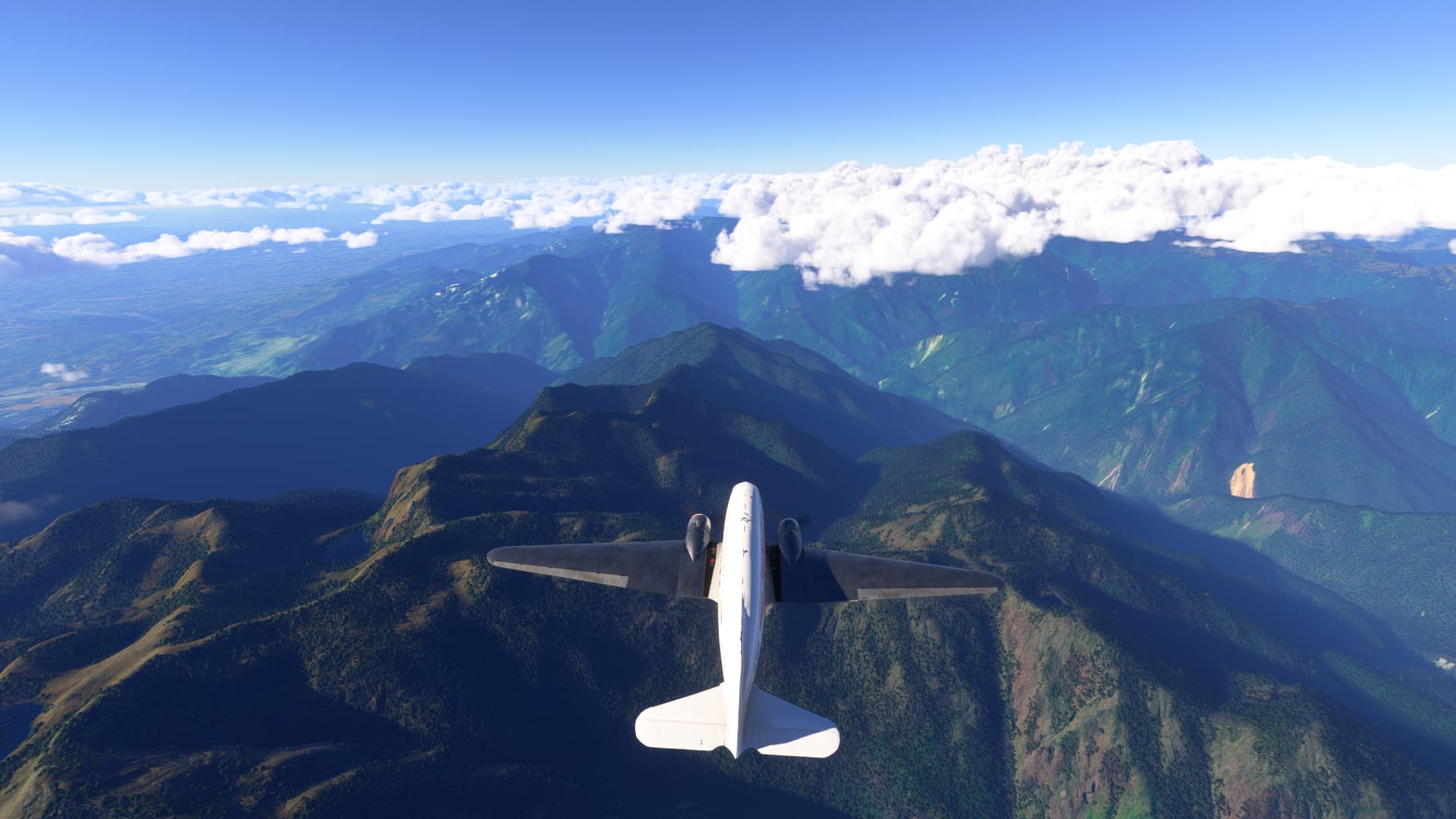
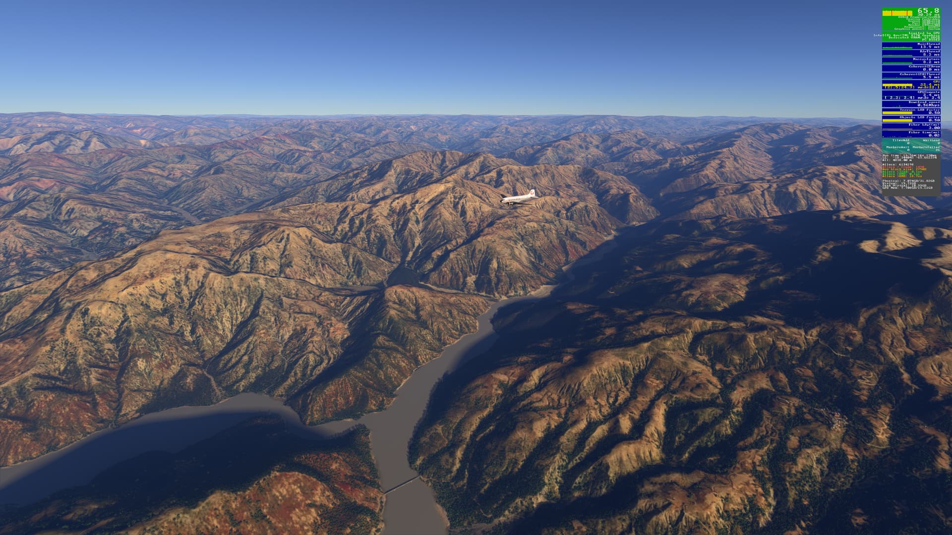
Cruising at around 20,000 ft to avoid the mountains:
The folks in South America really like living by runways, based on where they build their apartment buildings: 
This is at Palonegro:
The terminal building at Palonegro (the jetways are broken in build v1.2.8.0):
Back on our way, flying above the clouds to avoid the peaks:
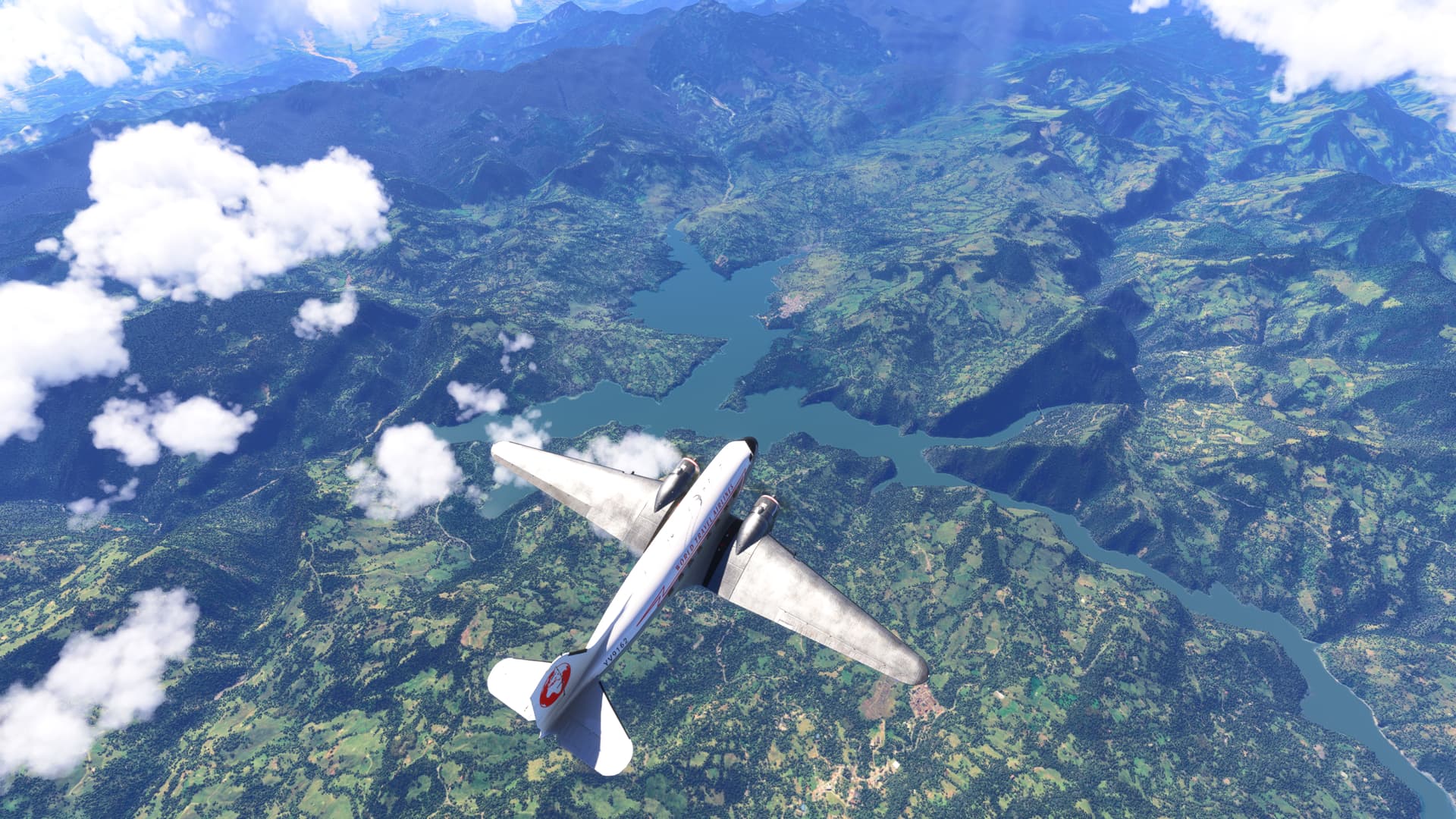
Two rivers are dammed at Gachala to form this reservoir:
![SA Andes 3 Palonegro (SKBG) to Vanguardia (SKVV) 1|690x388]
On approach to Vanguardia, on the banks of the river Guatiquia at Villavicencio:
Another day, another hangar!:
2 Likes
Leg 3: Andes 4 - Vanguardia (SKVV) to Contador (SKPI)
Well, here we are, all ready for take-off. Another day, another leg:
Departing SKVV and starting to climb:
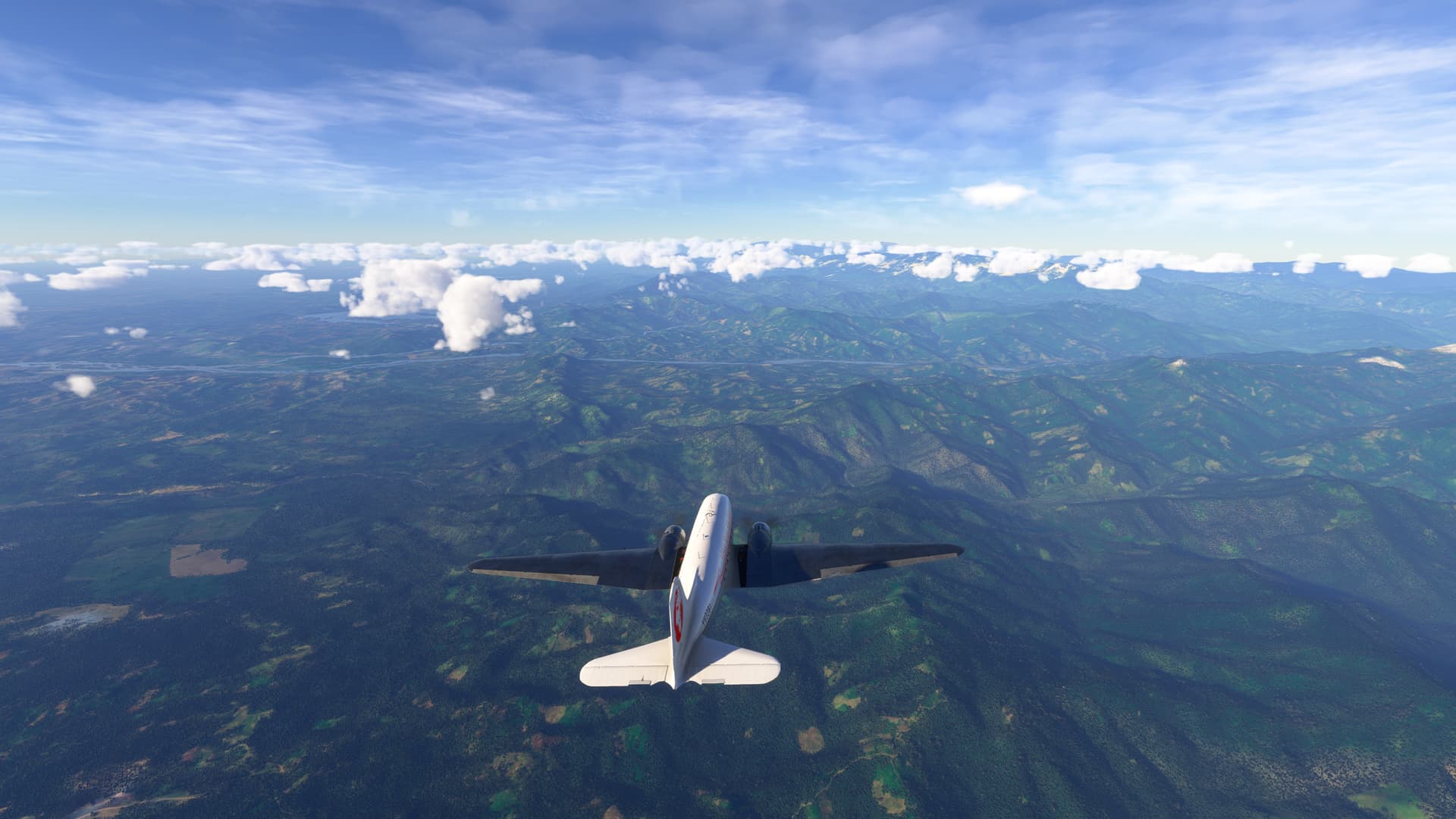
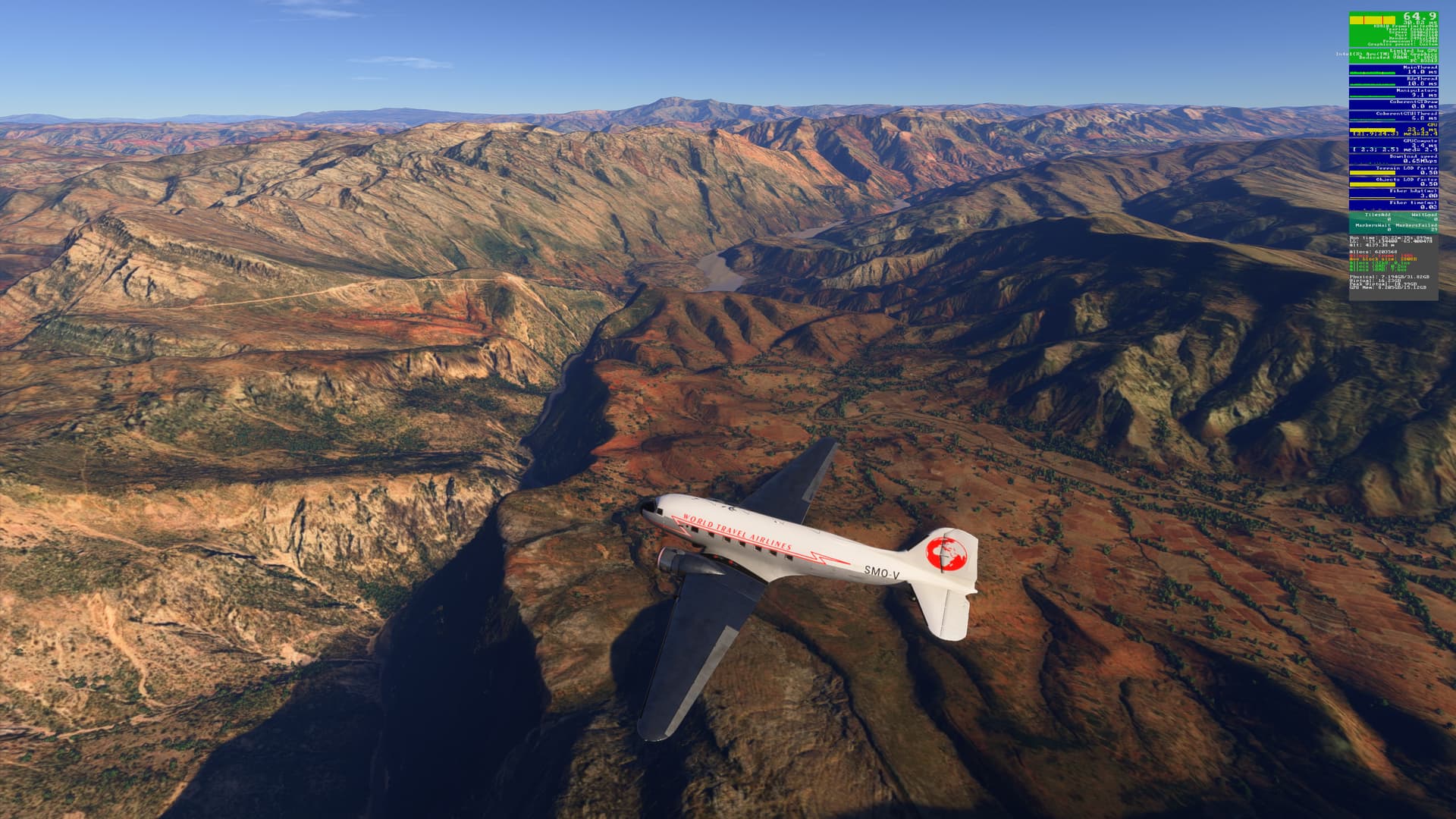
The Andes are not too high at this point. 10,000 ft will be OK:
Embalse El Quimbo is to our right. Should think about our decent about now:
The town of Timana, below. We just have to follow the Rio Timana to the town of Pitalito and our destination:
We’re going to bear right and use Hwy 20 as a reference point for our downwind leg. That’s Pitalito on our left:
Final approach to Rwy 07:
Safe & sound on the apron. Doubt that the terminal building looks like that in real-life, though:
2 Likes
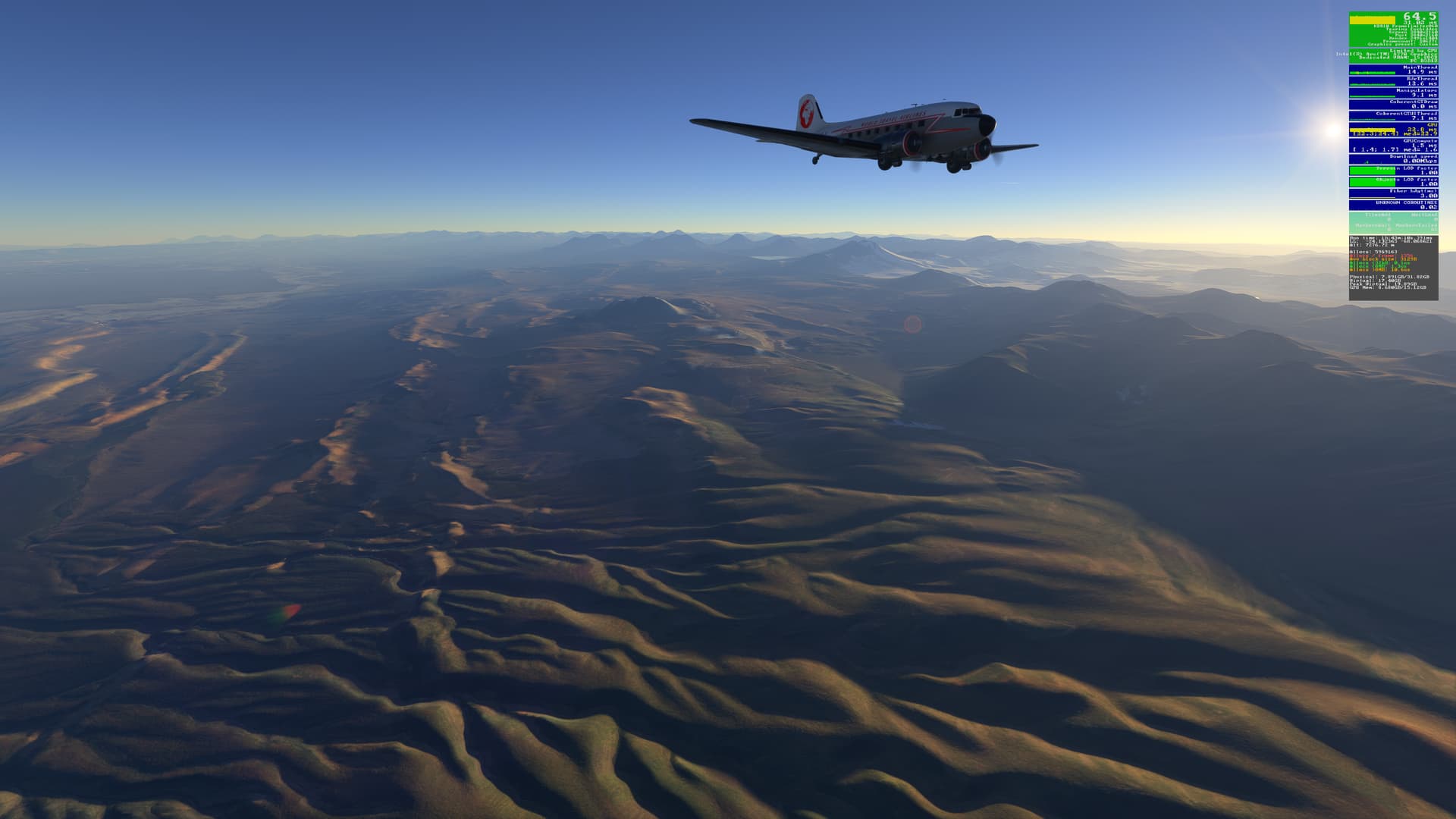
Well, 5 months later, I’m on leg 7 of my Andes trip, and now on the SU3 v1.5.2.0 build of 2024.
Ready for push-back at Patuca airport (SEPC) late in the afternoon:
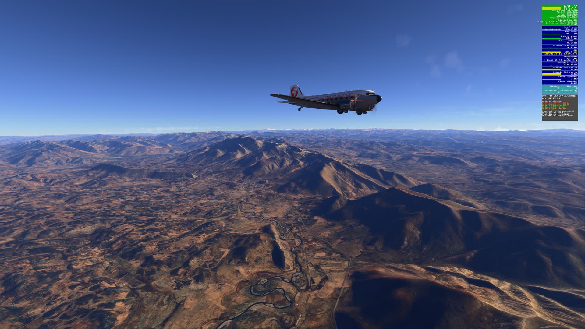
Climbed to 20,000 ft and headed south:
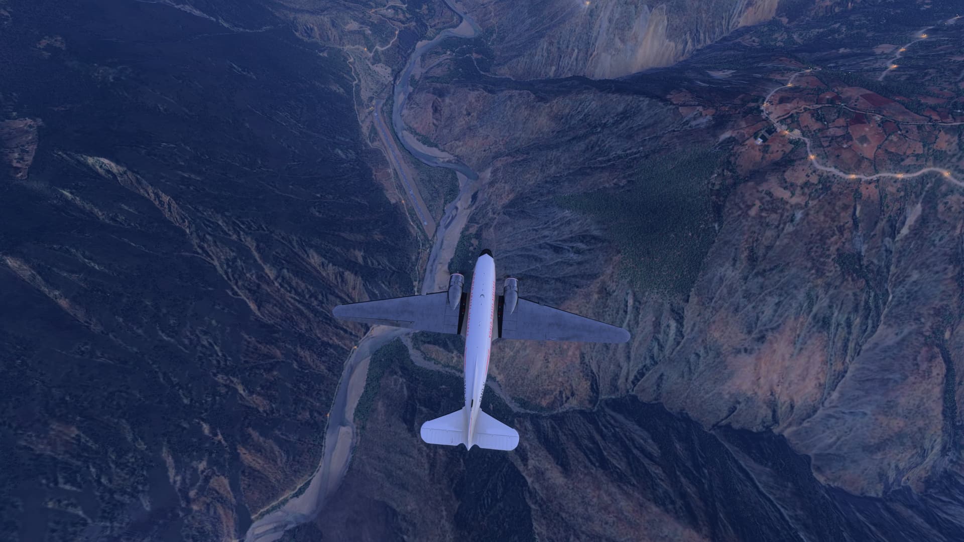
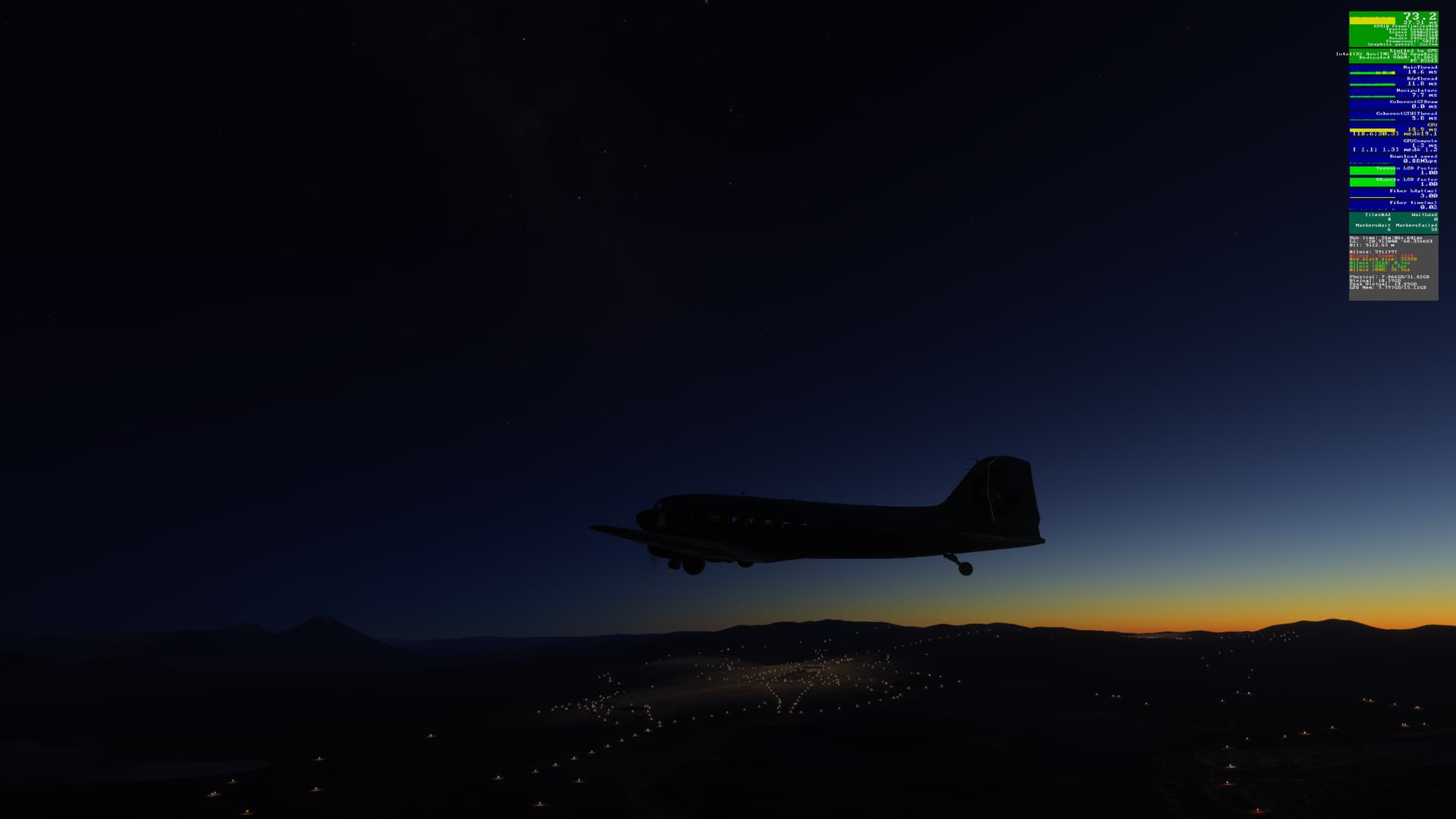
The sun was starting to set as I began my approach to Chagual Airport (SPGL):
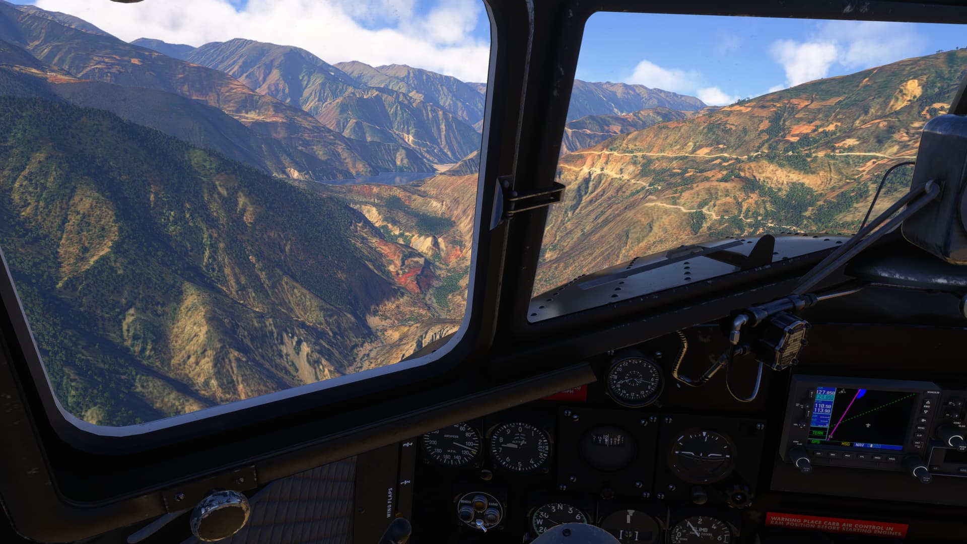
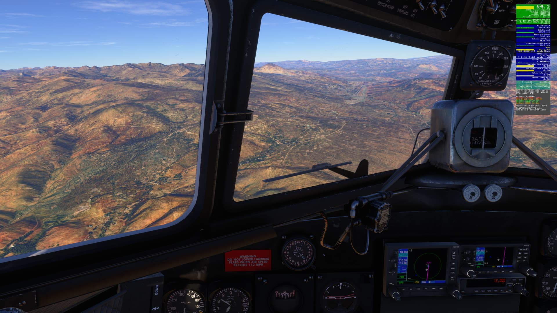
We’re going to drop down into that valley below, carved out of the mountains by the Rio Maranon:
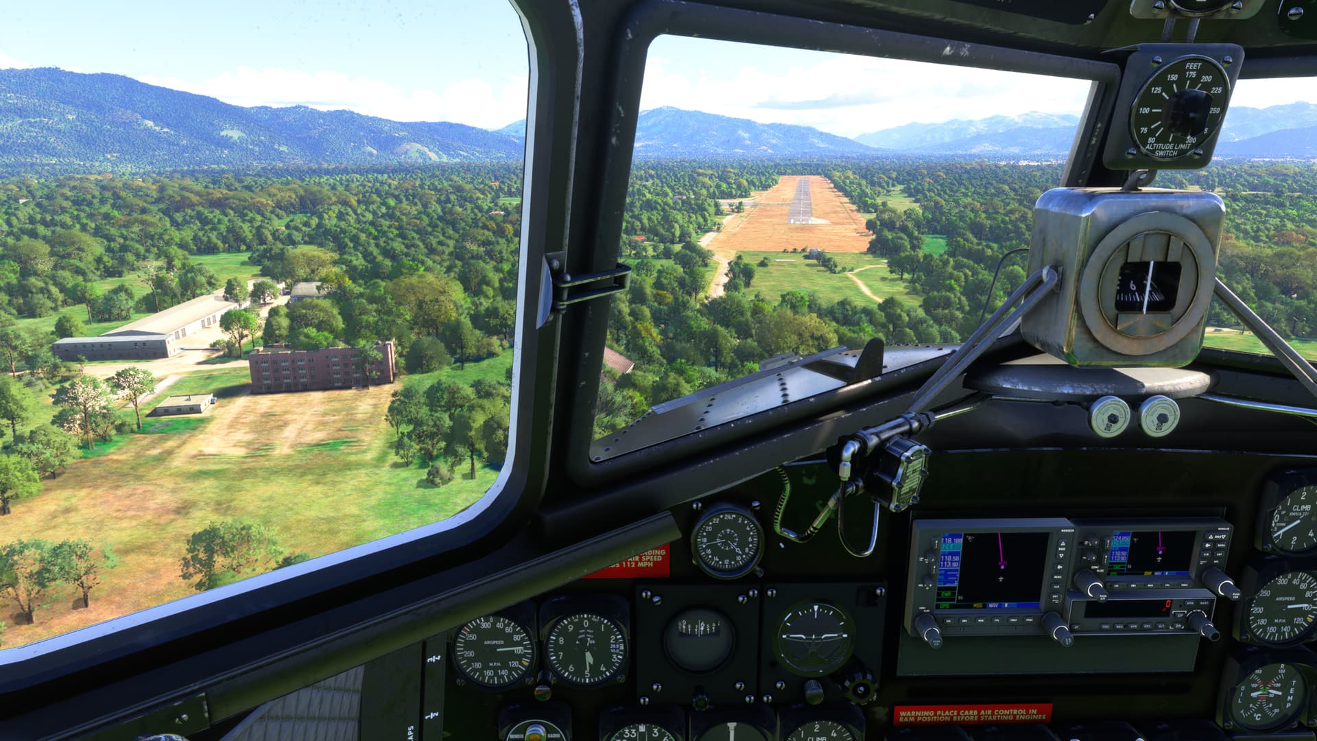
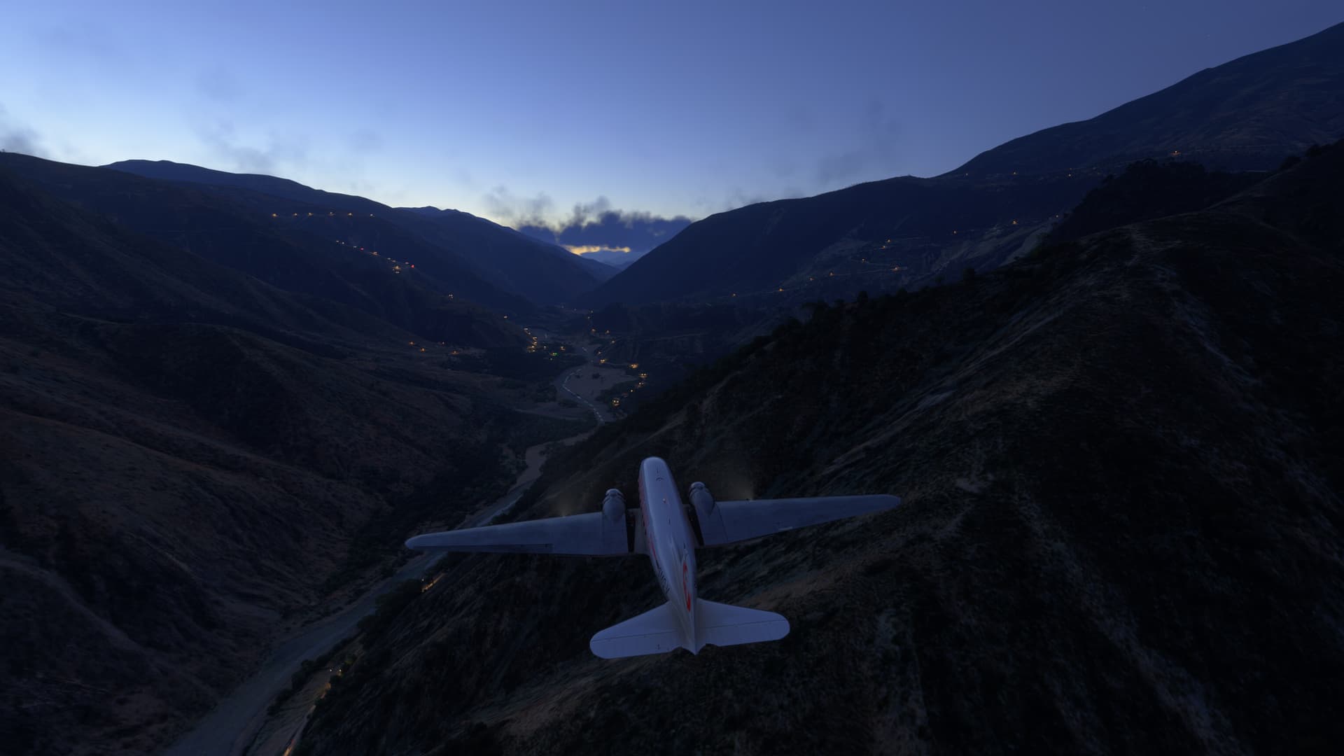
It’s been a while since I last landed here, so overflew the airport to re-familiarize myself. This airport sits deep in the valley:
We’re going to land on Rwy 32…
That’s it - right ahead:
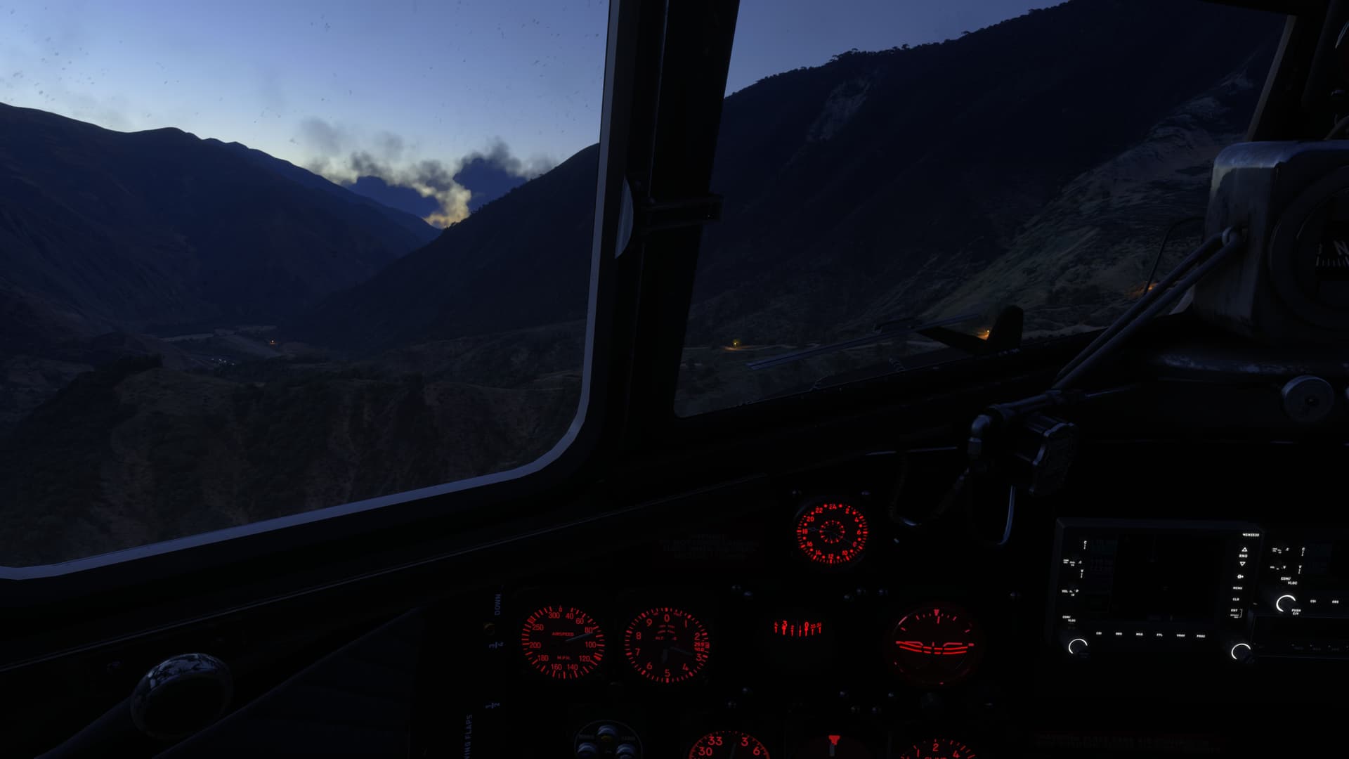
It’s a steep approach, blocked by a ridge than runs right across the flightpath. Full flaps, nice and slow:
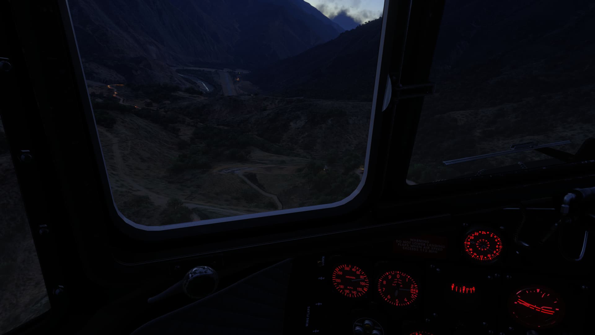
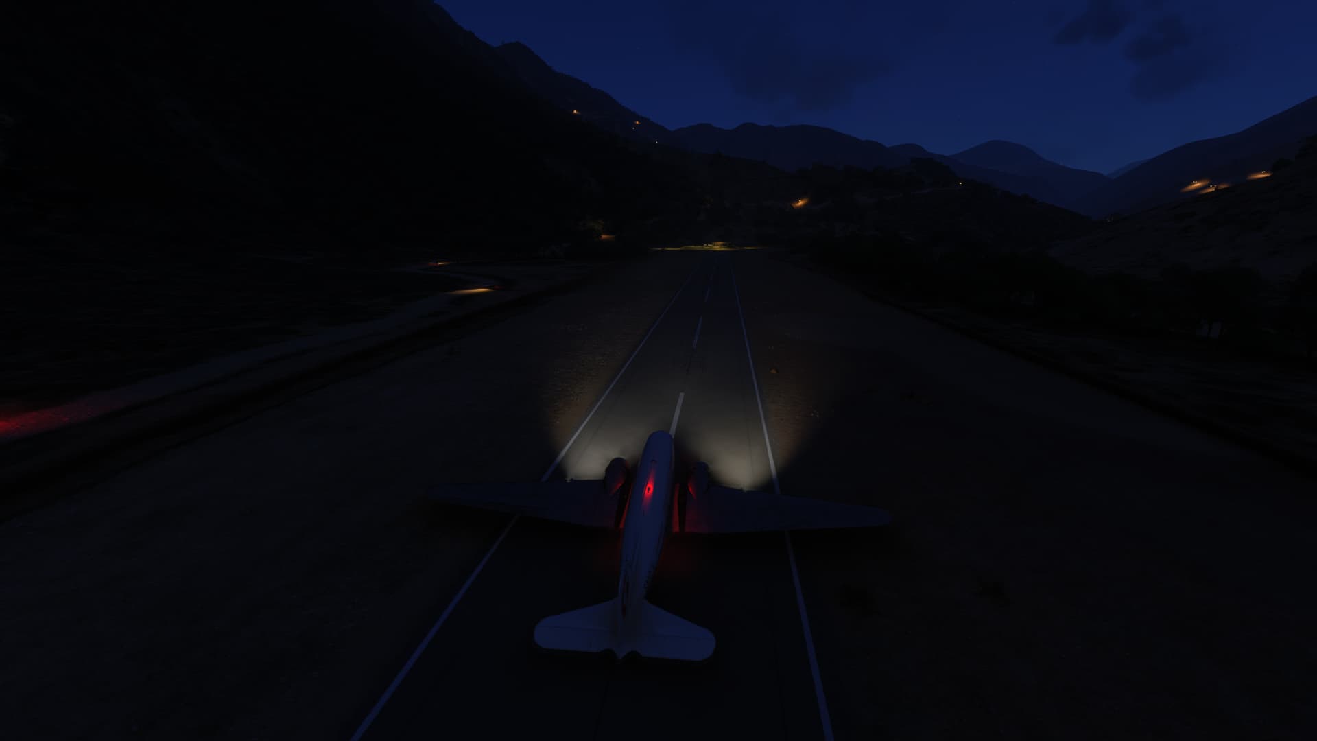
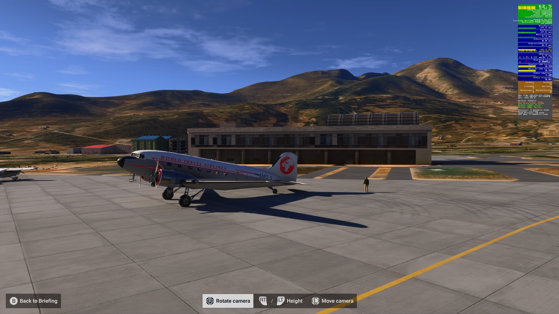
Made it just in time. You do not want to be landing here after dark:
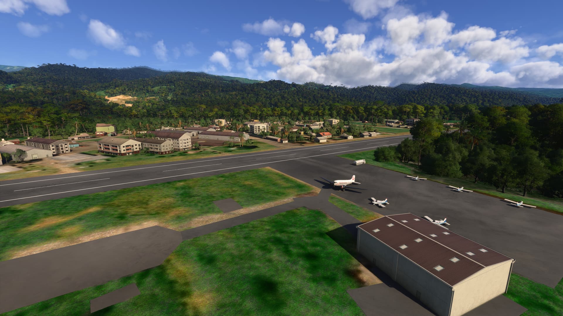
Well, everything looks to be in one piece - time to grab a cup of coffee in the terminal building (I hope it’s still open) 
2 Likes
Here is an adventure in Los Andes with video briefing, map, add ons and other information to recreate the fly that mail aviators did in 1930s crossing from Chile to Argentina.
It is the route that Henri Guillaumet did when he crashed and survived a 5 day ordeal walking through Los Andes in winter (as documented by Antoine de Saint-Exupéry)
It is also arguably the most immersive, fun and exciting flight I have ever done in flight simulator
I hope you like it
2 Likes
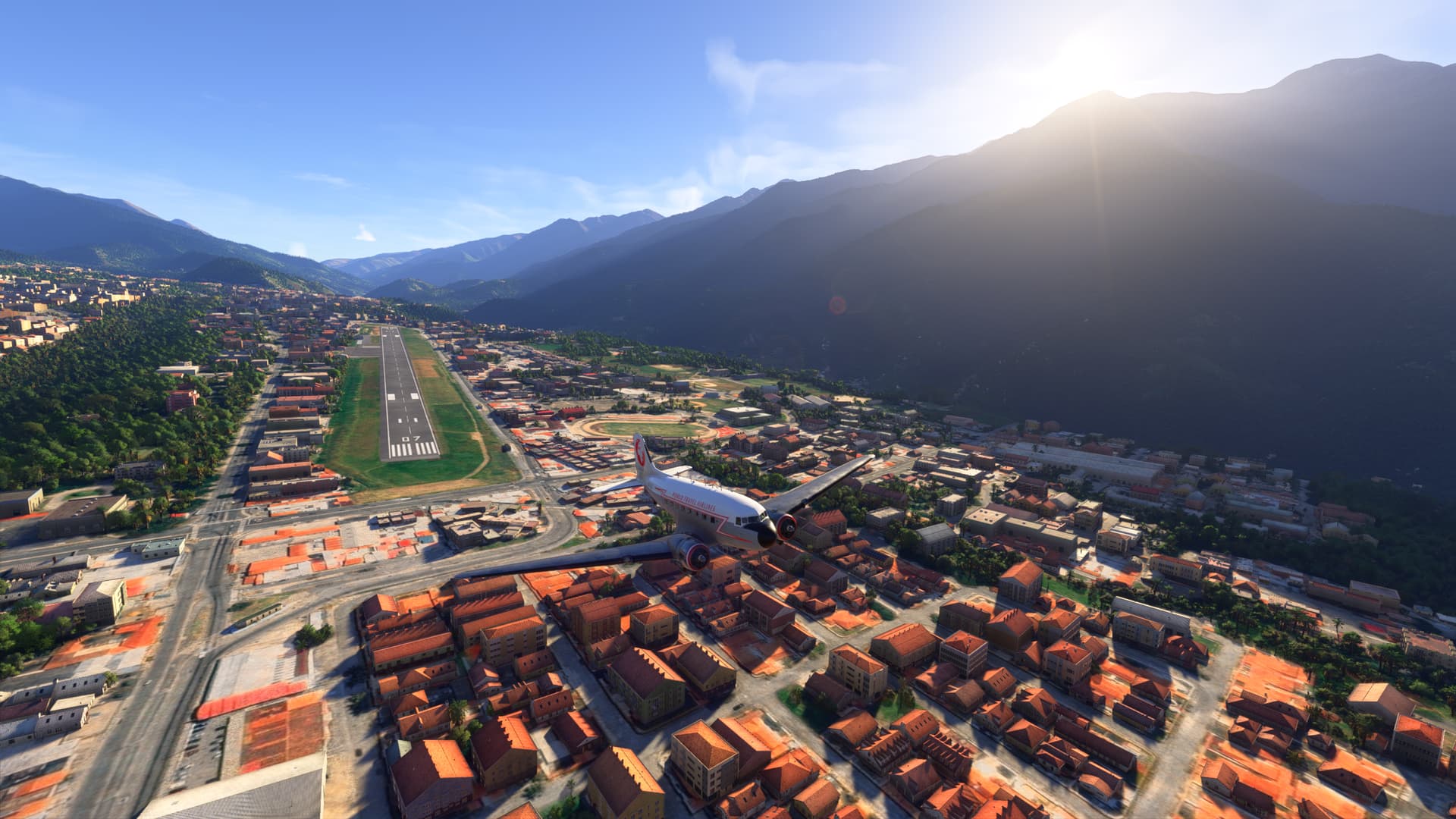
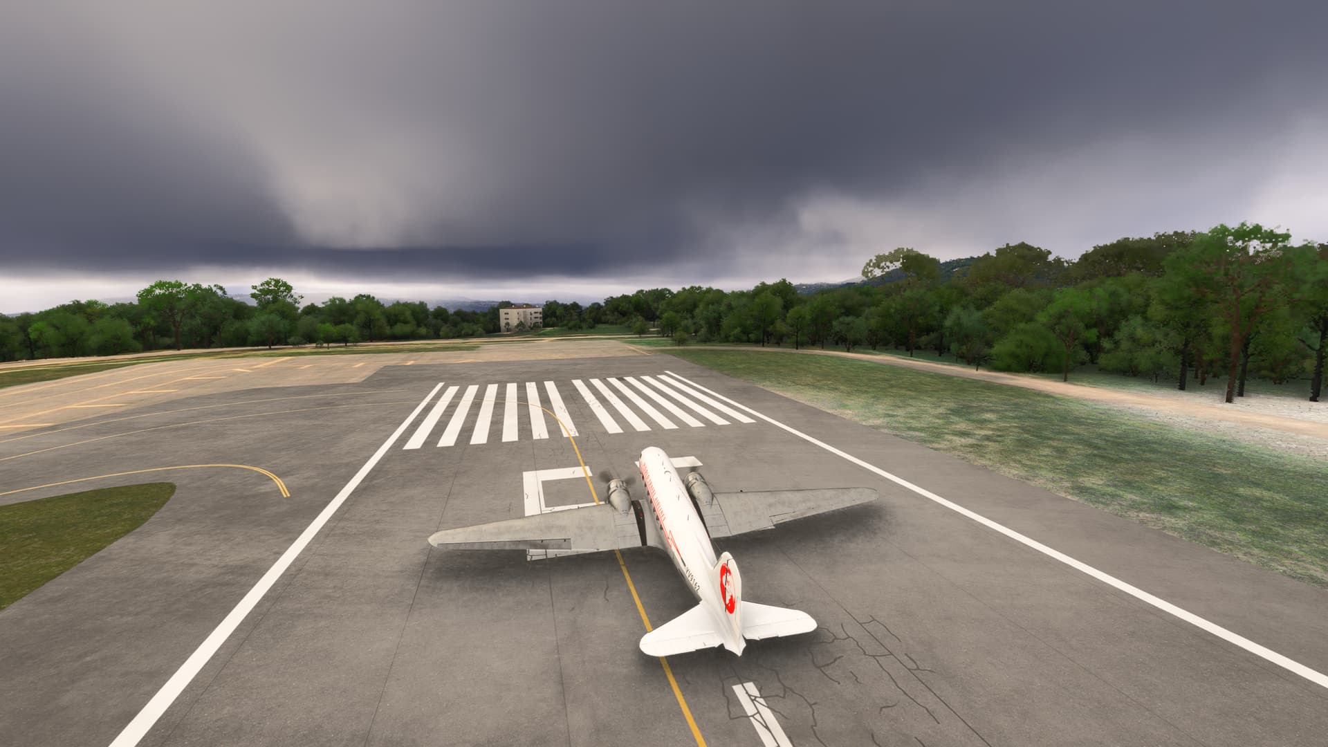
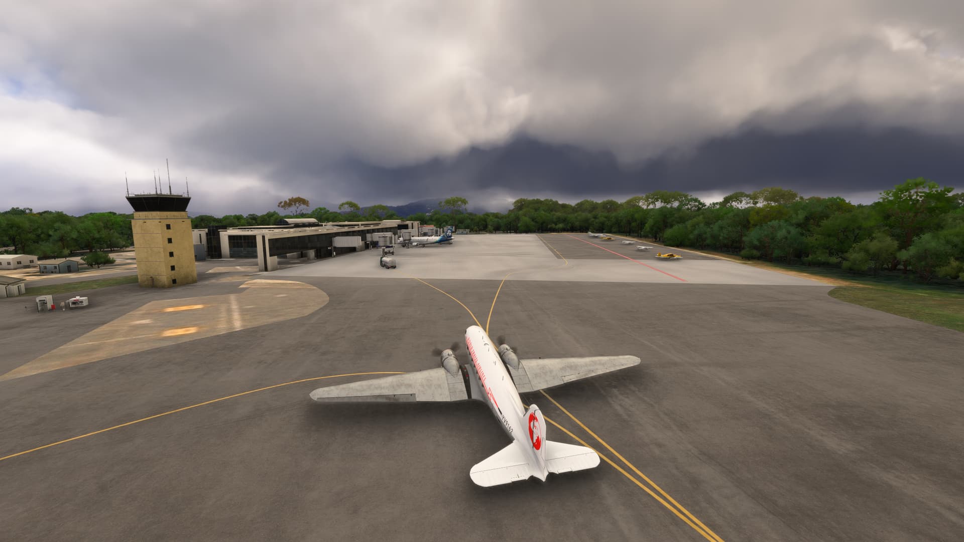
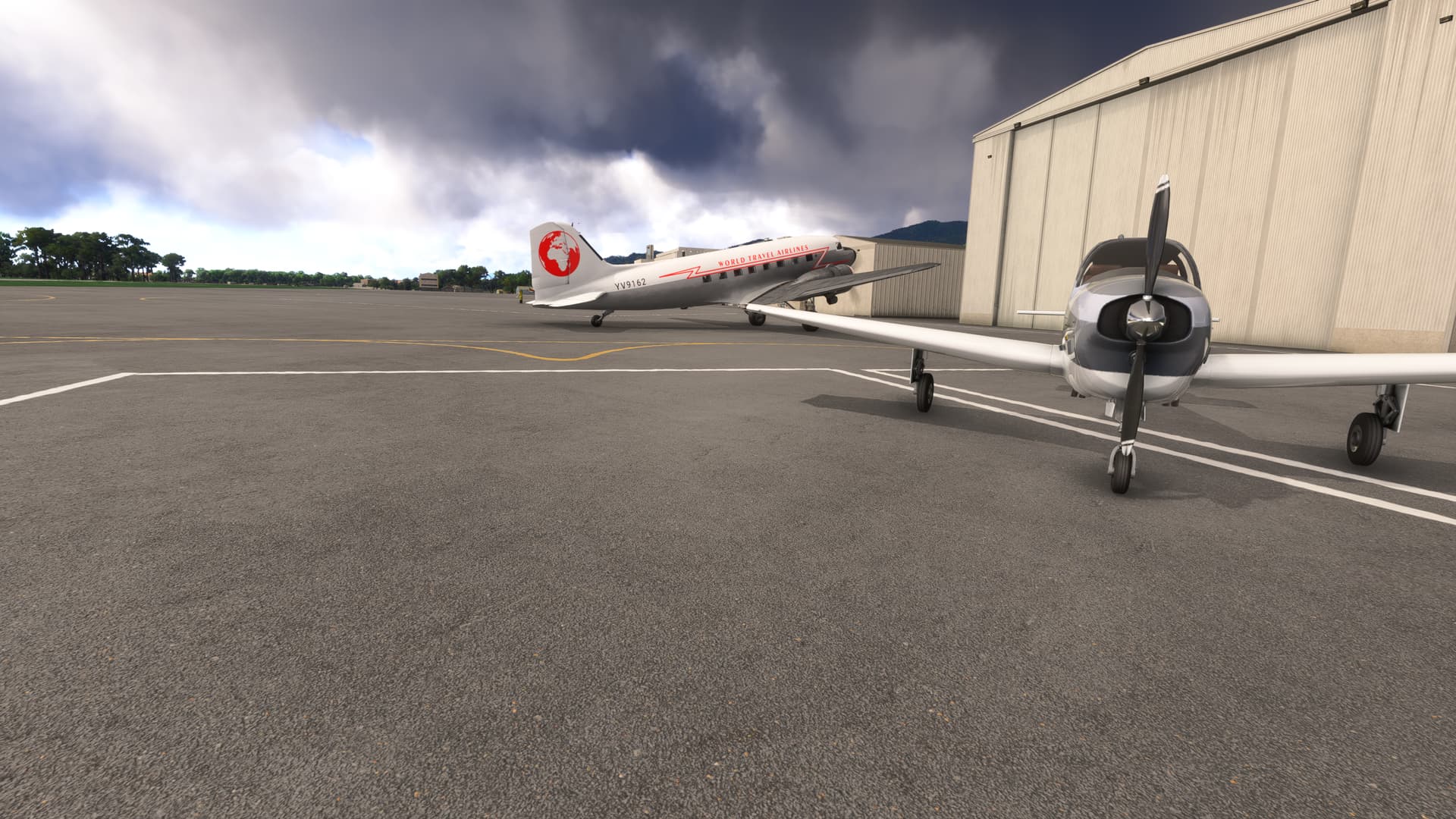
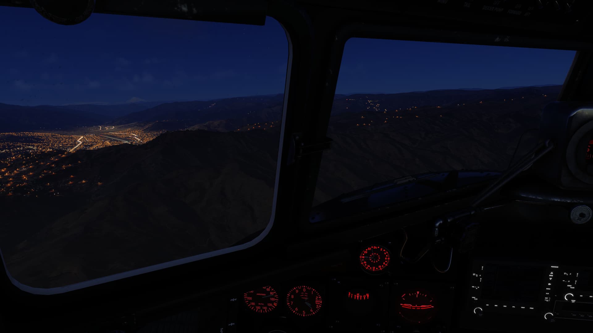
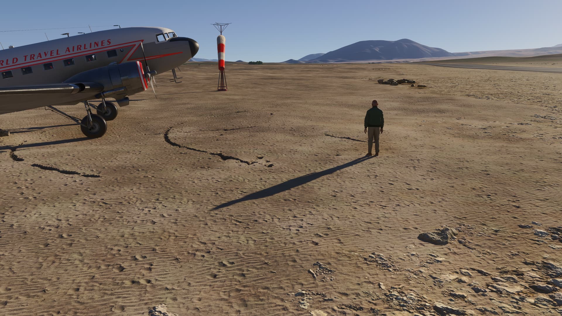
Leg 8 of my Andes trip (Su3 Beta v1.5.4.0). Departing Chagual Airport (SPGL) is a challenge in the DC3. At an altitude of 4,000 ft, and a 3,957 ft runway, you’ll need to pay attention to your fuel and passenger loads if you want to have a successful take-off.
Note that in the current build in 2024, the Garmin displays and gauge needles cannot be seen at night. The cockpit lights are also non-functional, so make sure you time your flight departure to ensure you arrive at your destination before the sun has fully set.
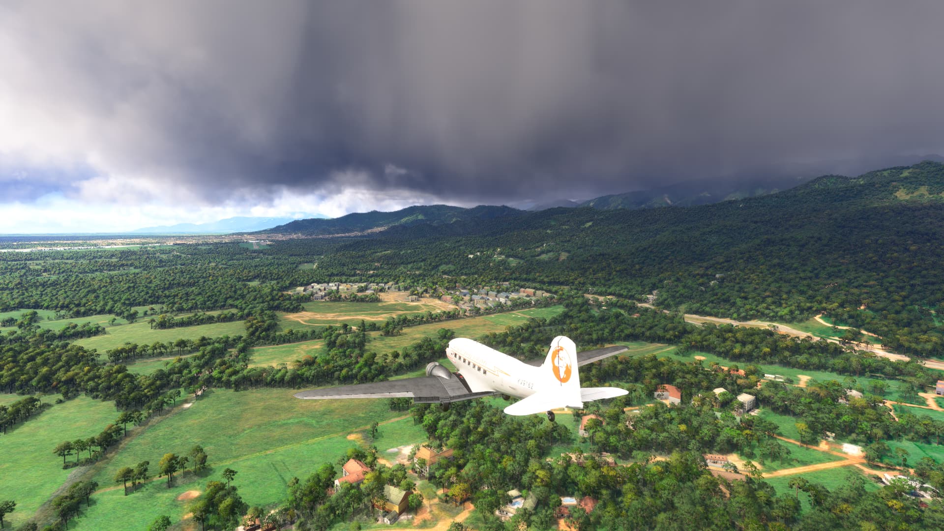
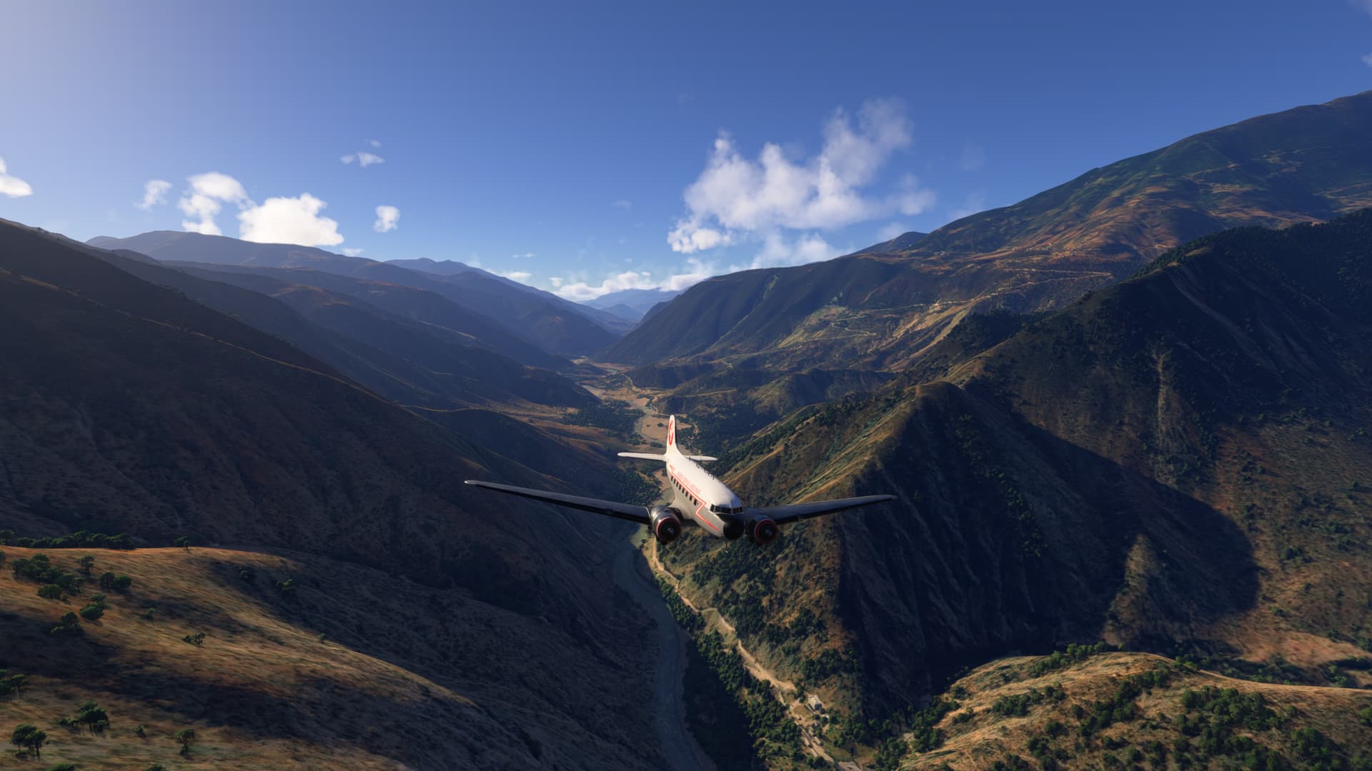
Just after take-off. We bear right & follow the Rio Maranon as we slowly gain altitude:
As we continue to climb, we follow route PE-10C as it switchbacks up the mountainside to Laguna Pias:
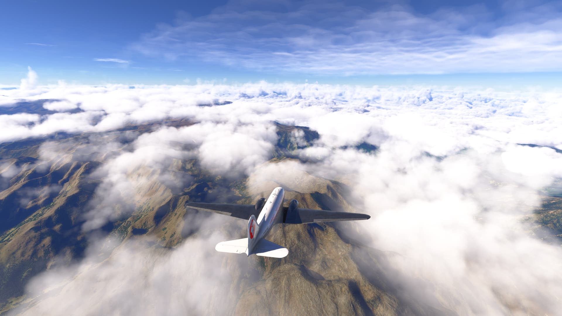
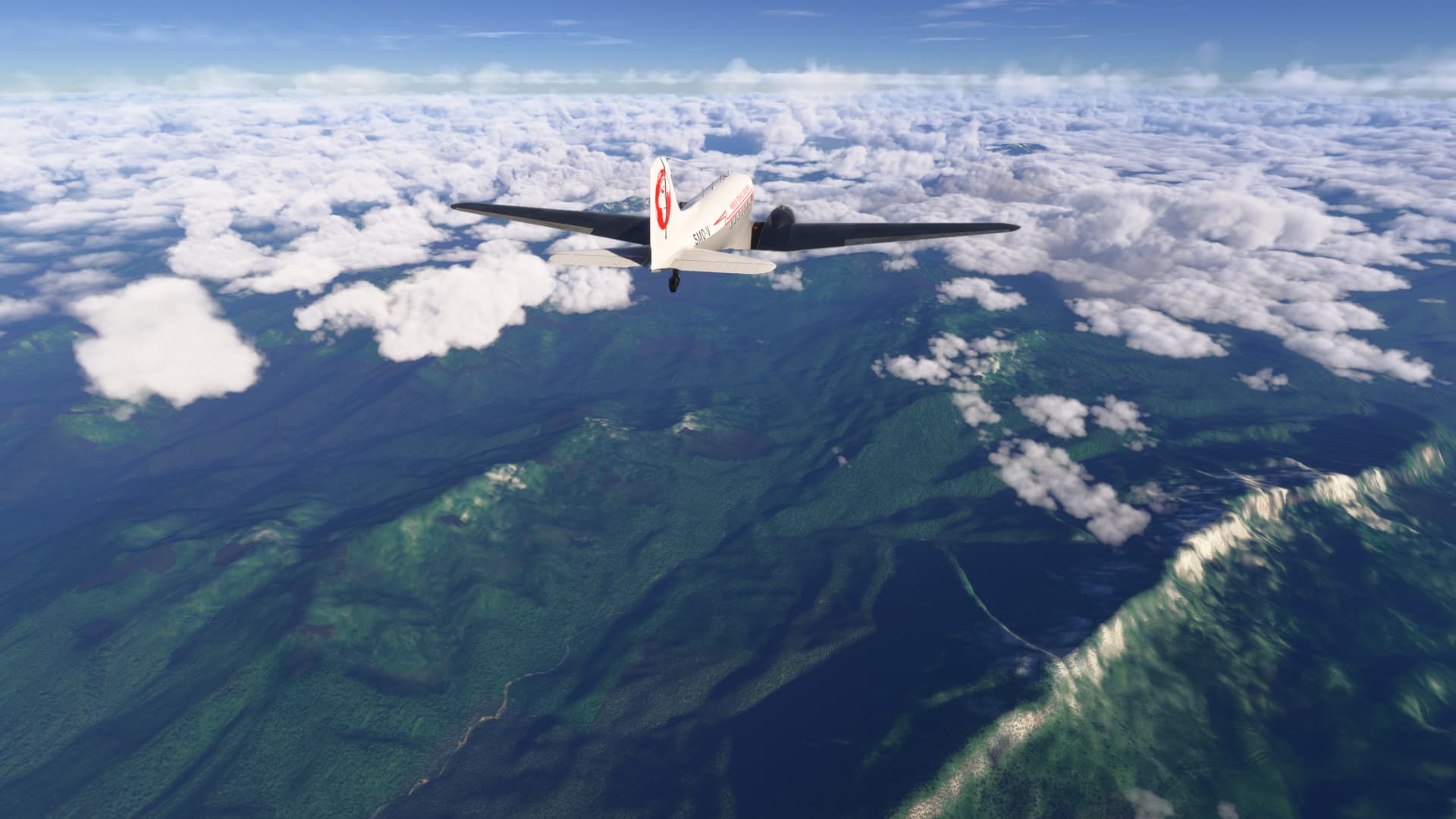
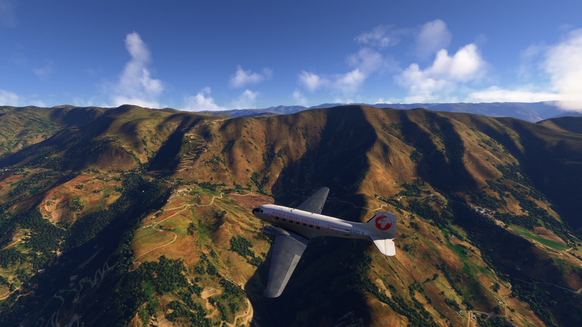
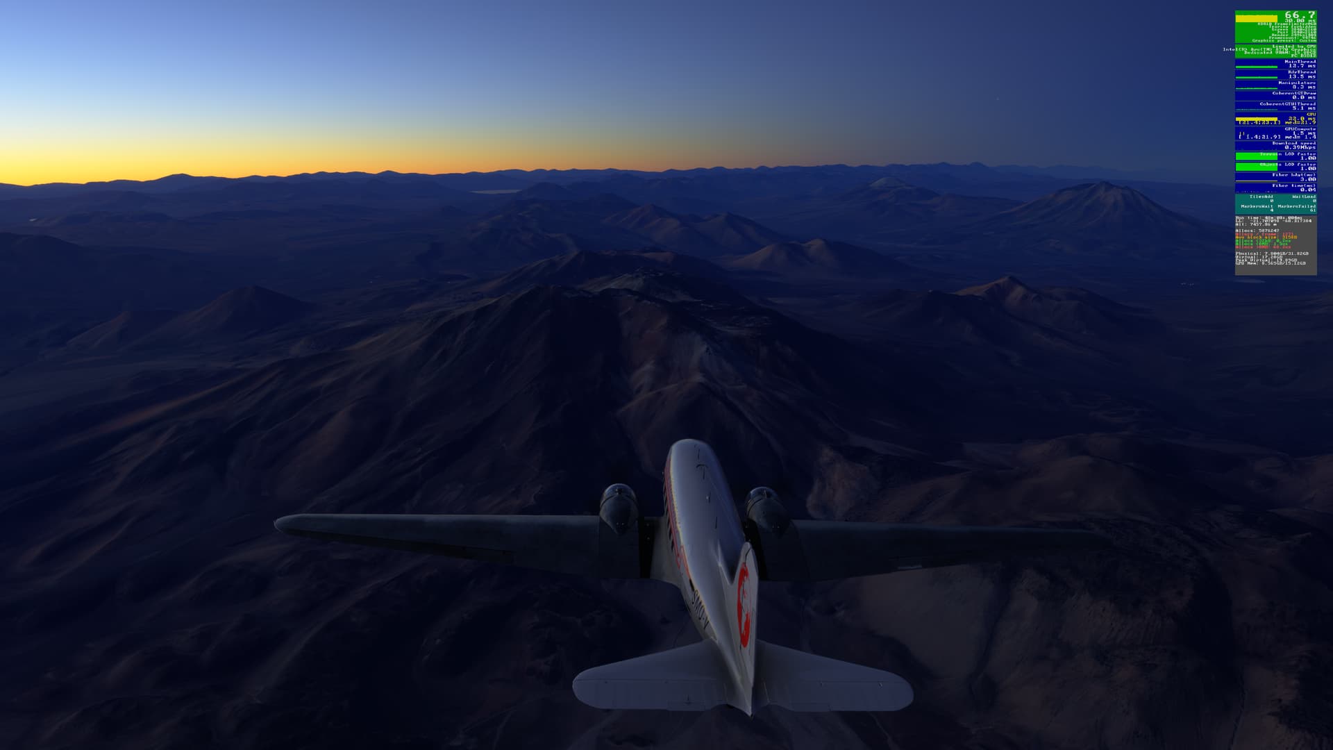
As we pass La Paccha and Buldlbuyo, we rise above the mountains as we continue to our cruise altitude of 18,000 ft:
As we head south the snowy peaks of Parque Nacional Huascaran can be seen in the distance:
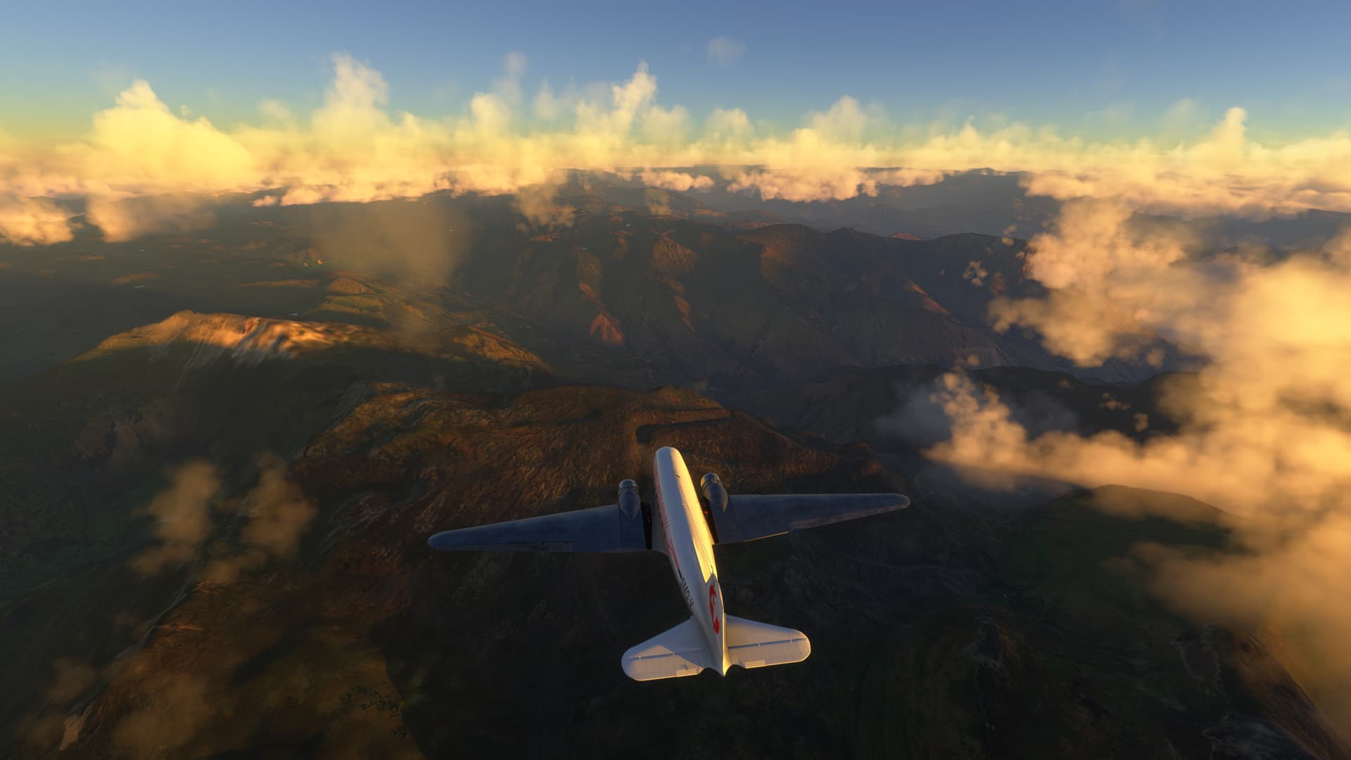
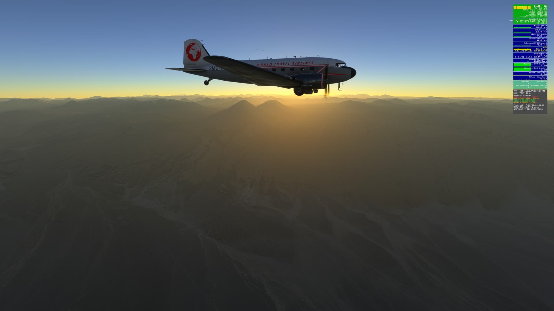
As the sun starts to set, Rio Ene can be seen far below:
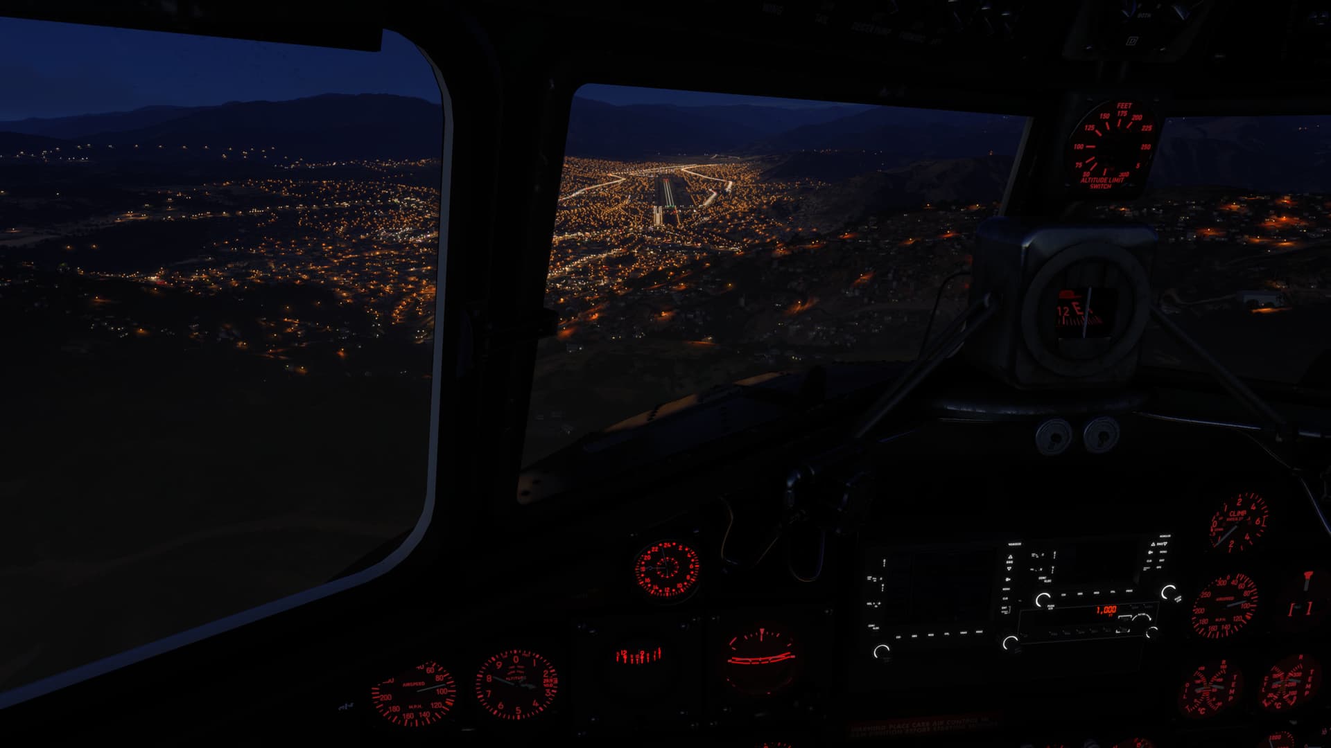
Approaching our destination for the night, Tnte Fap Alejandro Velazco Ast (SPZO):
The landing can be tricky, as the approach passes by the VOR on to of Cerro Acueducto at 3,961m:
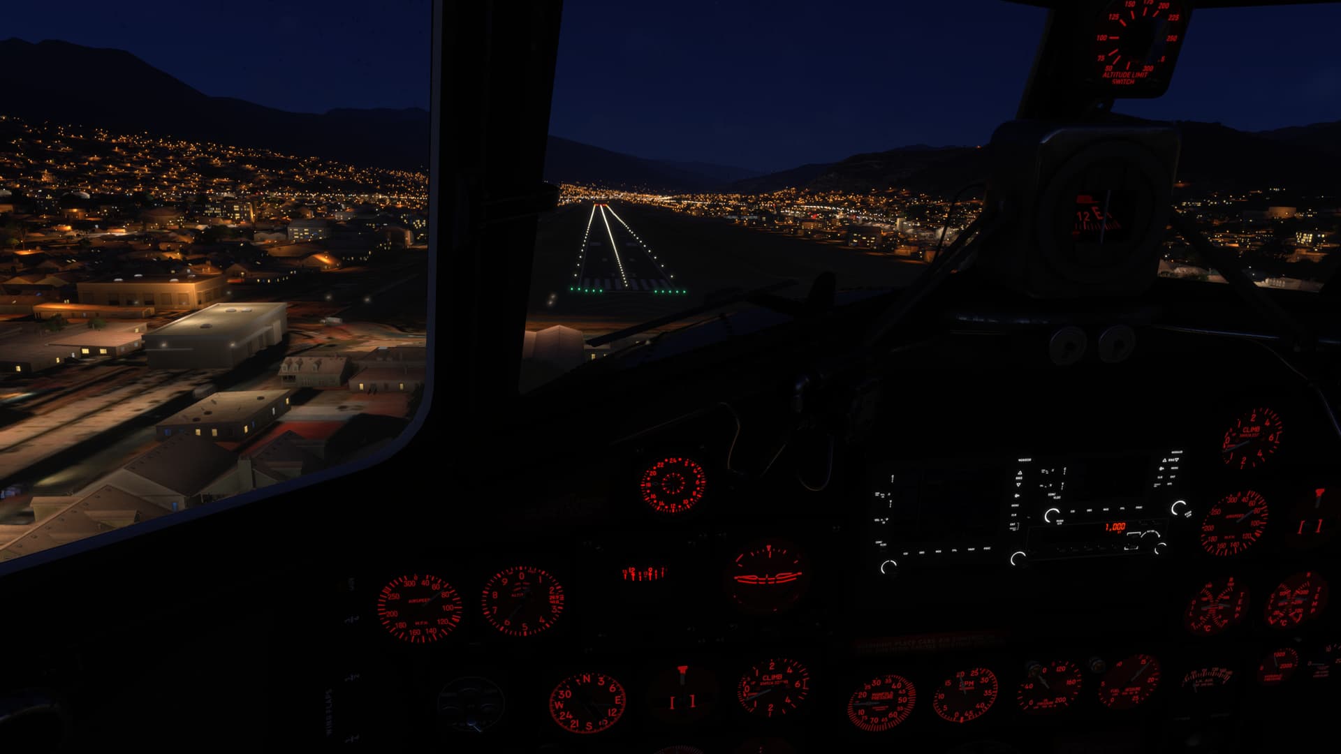
On final. Watch your airspeed - it is easy for it to increase on this decent:
and here we are. Looks like we’ll add another successful flight into our logbook:
2 Likes
It’s a new day, so we continue our journey. Departing Tnte Fap Alejandro (SPZO):
We follow the valley and fly over the town of San Jeronimo as we gain altitude:
Pomacanchi and Aqupiya qucha lakes make good visual references when flying VFR:
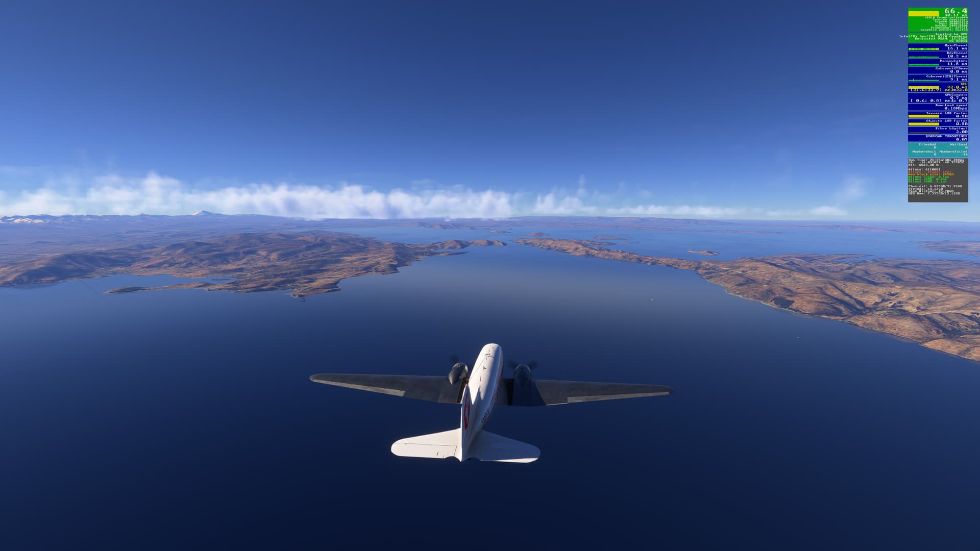
It’s then a straight run south to Lake Titicata:
Laguna de Arapa on the northern end of the lake is another great VFR waypoint:
At the southern end of the lake, we turn to our next visual waypoint, the Estrecho de Tiquino, where ferries cross between San Pedro and San Pablo, connecting the main F2 road leading to La Paz:
Looks like a ferry is heading to San Pedro:
Heading to Cerro Kalishuata on the promontory will line us up to intercept the glide path for Rwy 10 at El Alto Intl (SLLP):
On final:
Parked on the apron. The default terminal buildings here look more like apartments  :
:
[Recorded in MSFS 2024 SU3 v1.5.10.0 with live weather]
4 Likes
Any of you go out and see if Uruguayan Air Force Flight 571 is in the Andes?
No - that is something that I would not be interested in doing.
1 Like
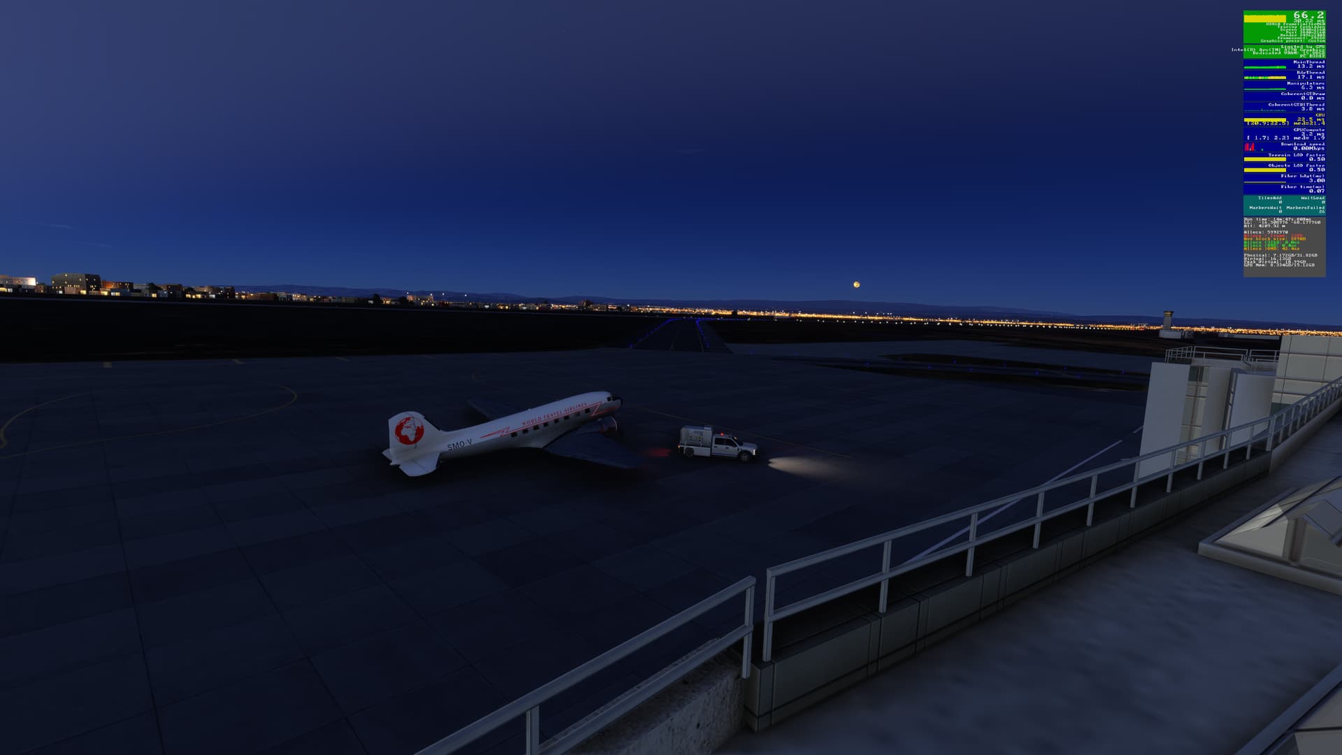
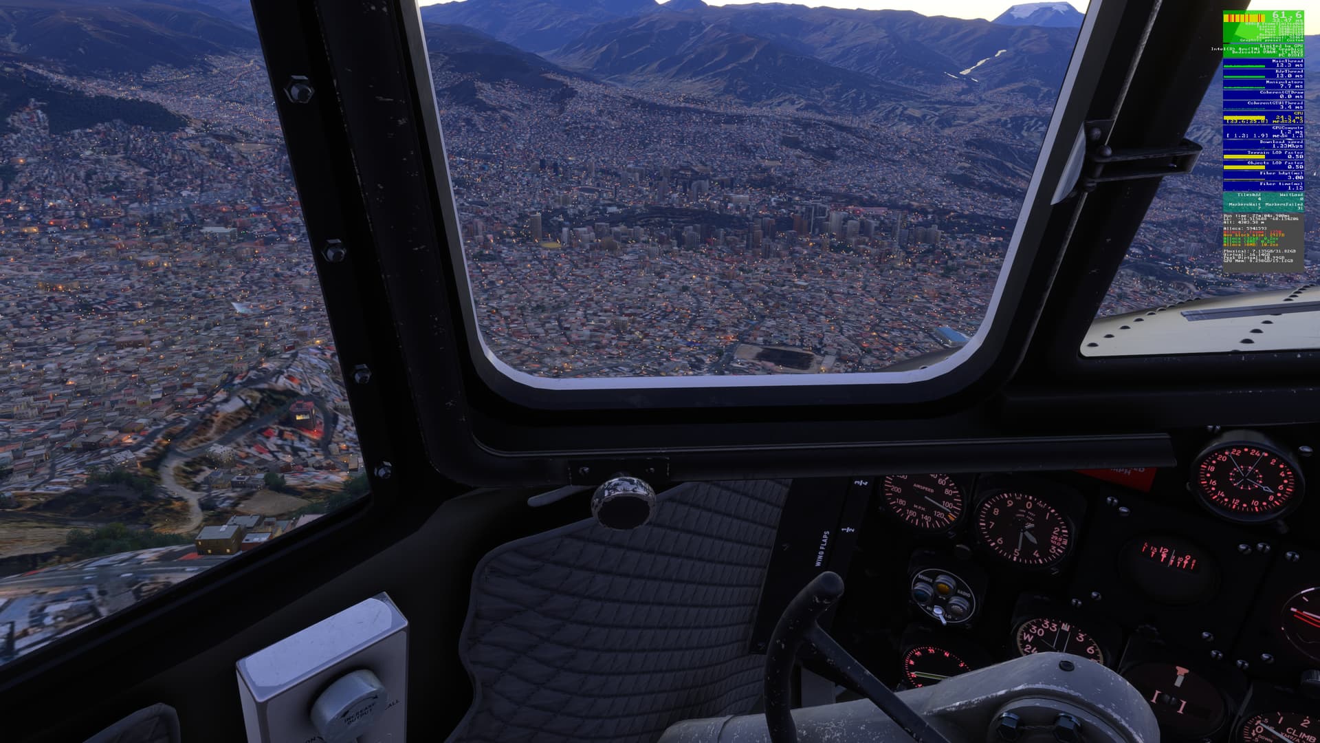
Dawn on the Altiplano. Our Douglas DC-3 is on the apron, fueled-up & ready to go, with the lights of La Paz & a full moon behind:
Passing over the city center, we start our climb to 21,000 ft:
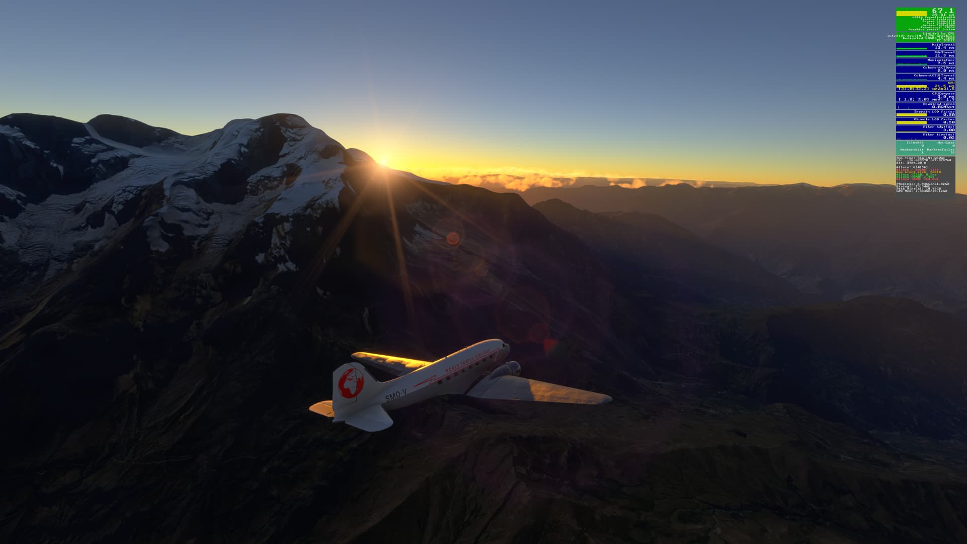
Sunrise over Illimani:
Our first stop is Jorge Wilsterman (SLCB) in Cochabamba. Starting our decent to Rwy 14:
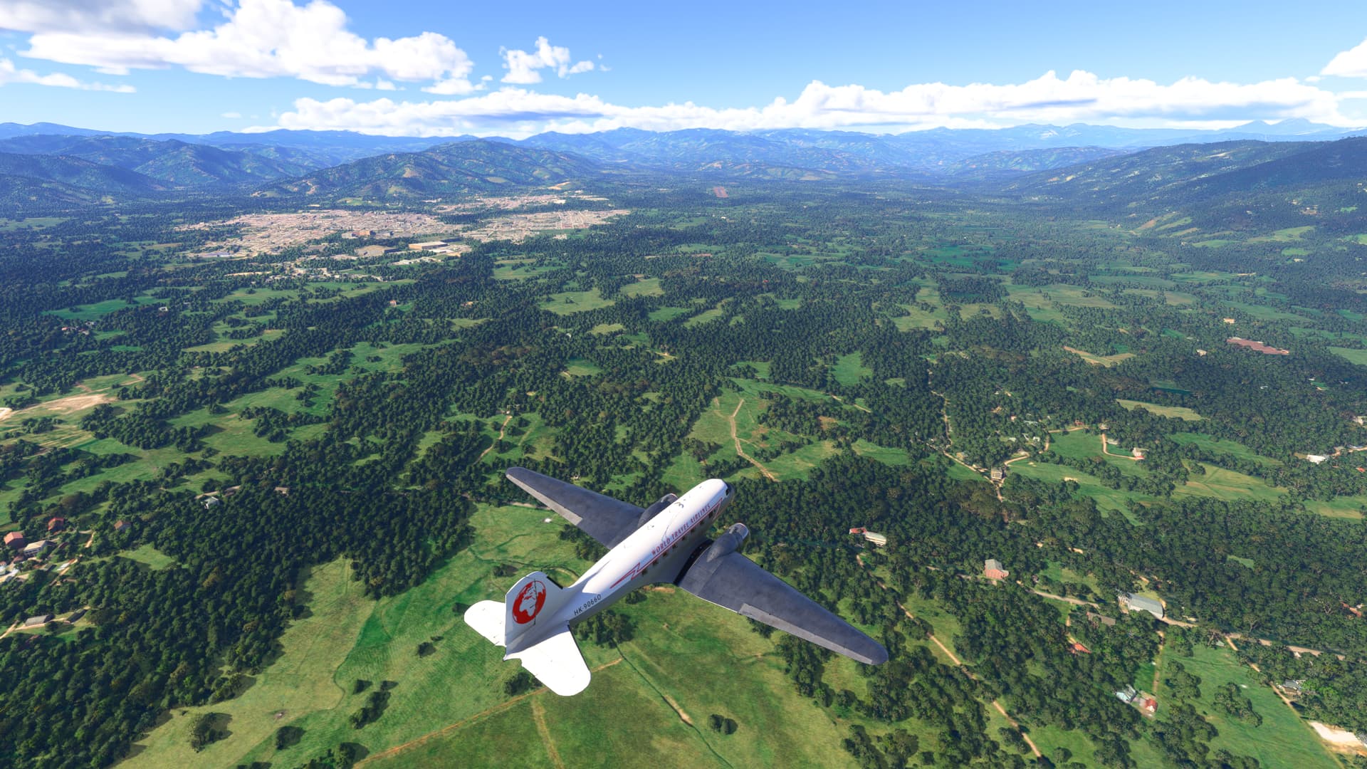
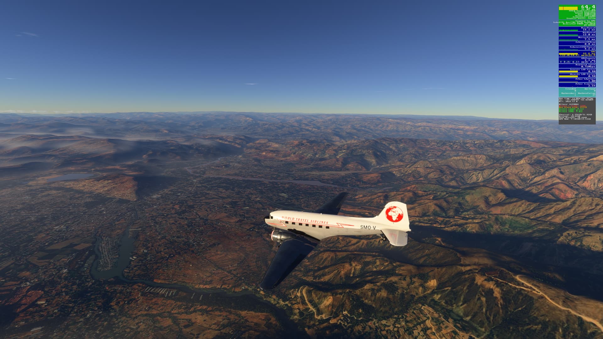
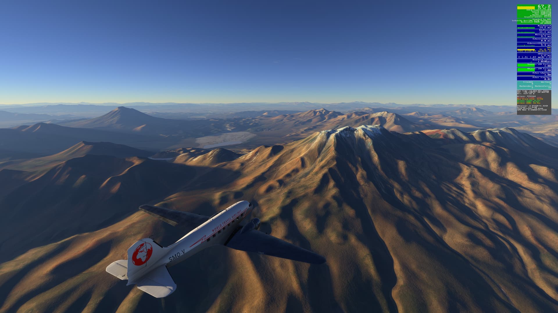
From Cochabamba, we head south to the historic and picturesque city of Sucre, flying over rugged terrain along the way:
Rio San Pedro:
Landing at Juana Azurduy De Padilla (SLSU) . No stutters for this landing:
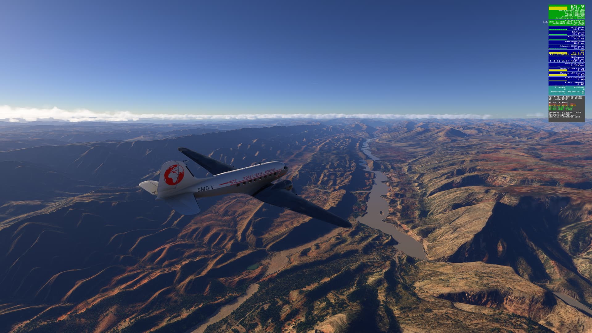
The road from Sucre to Potosi (F5) has to make a wide detour to avoid more rugged terrain Here we fly over the Rio Pilcomayo:
Lining up for final approach to Rwy 24 at Nicolas Rojas (SLPO):
Parked on the Apron. Flight time was a little less than 2 hours. Time for coffee:
[MSFS 2024 v1.5.13.0, live weather]
4 Likes
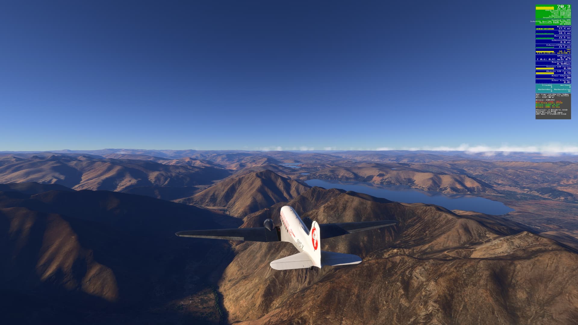
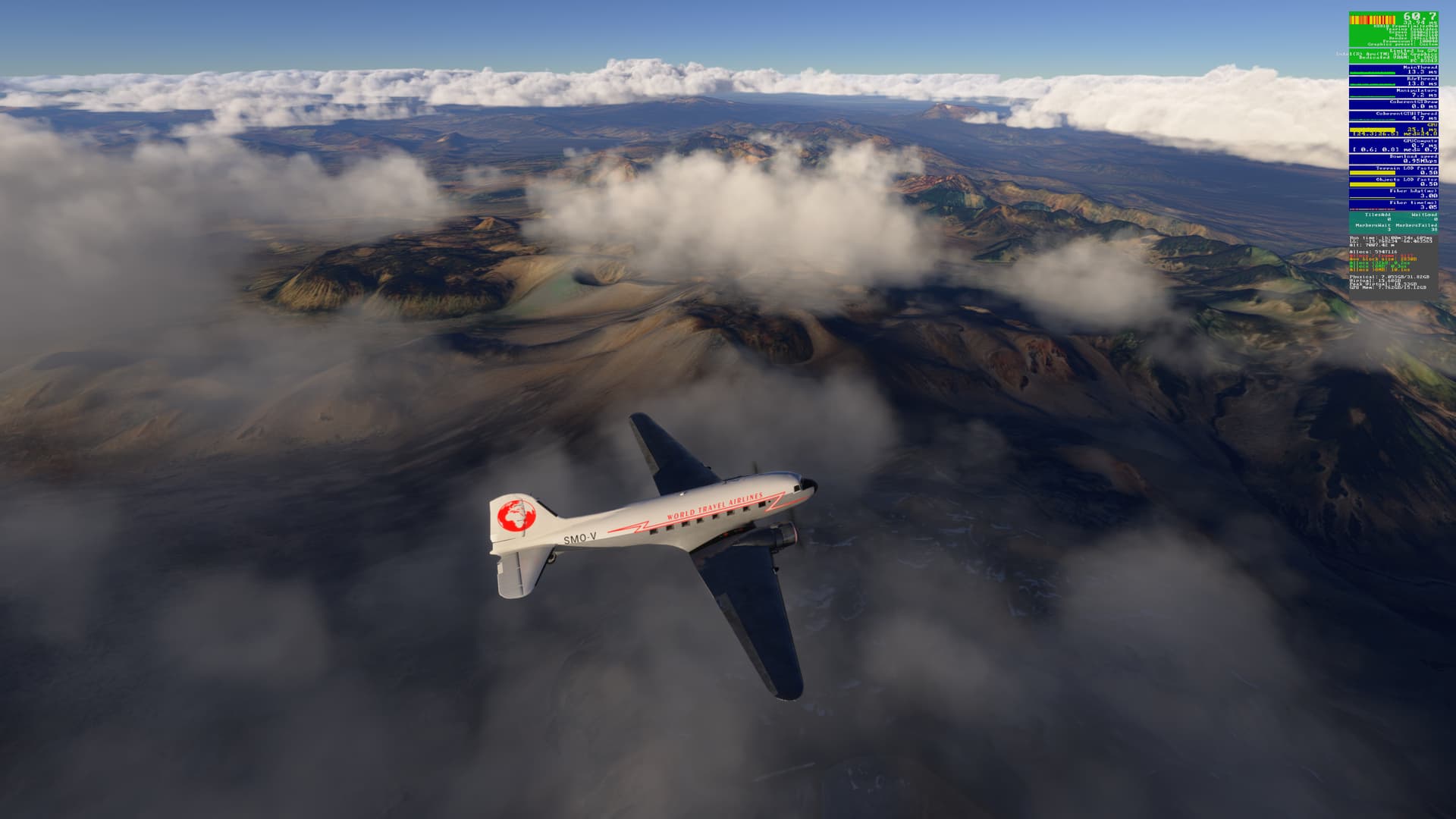
A new day, a new flight: Nicolas Rojas (SLPO) to Coposa (SCKP)
Departing Nicolas Rojas, we start the slow climb to 25,000 ft in order to make sure we are above any volcanoes that are along today’s route.
We soon come across our first - Nuevo Mundo:
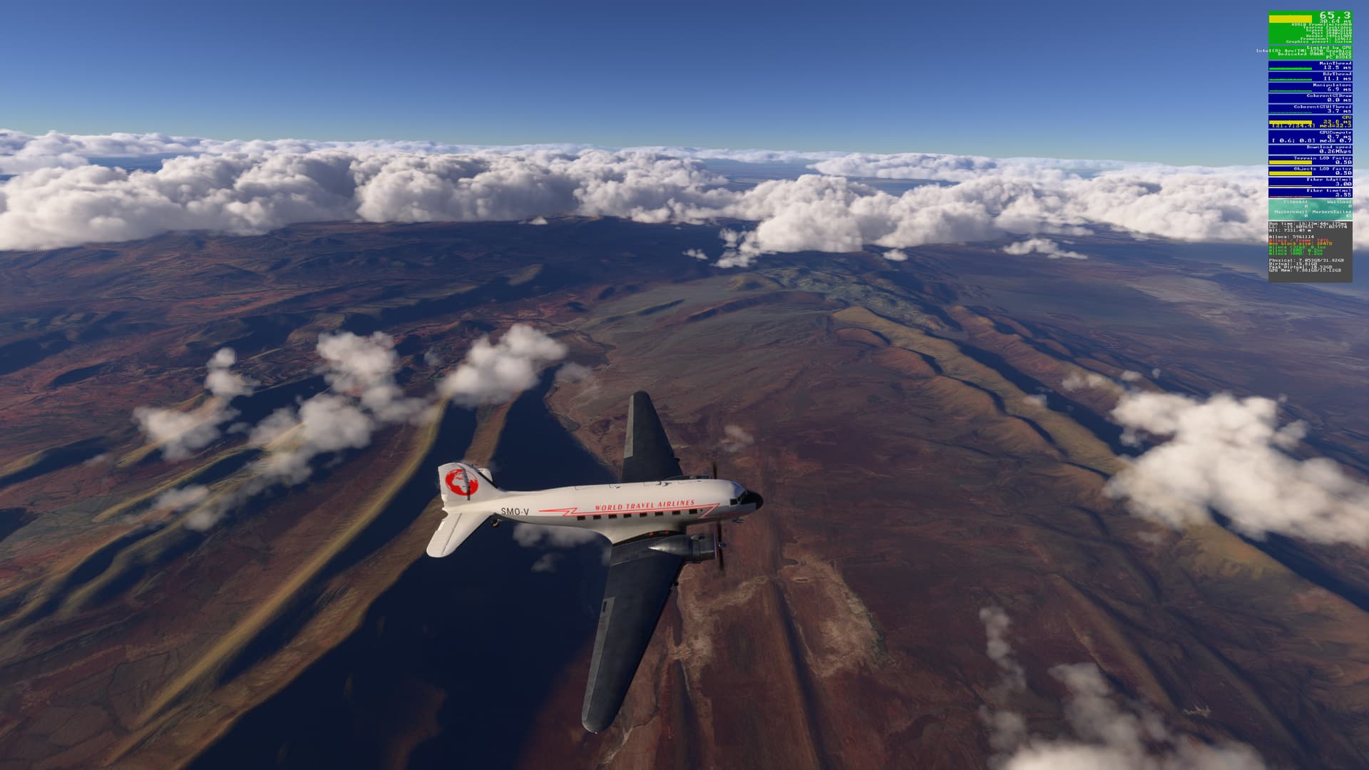
Crossing a barren landscape north of Jachioco:
Another volcano! This time it’s Tunupa:
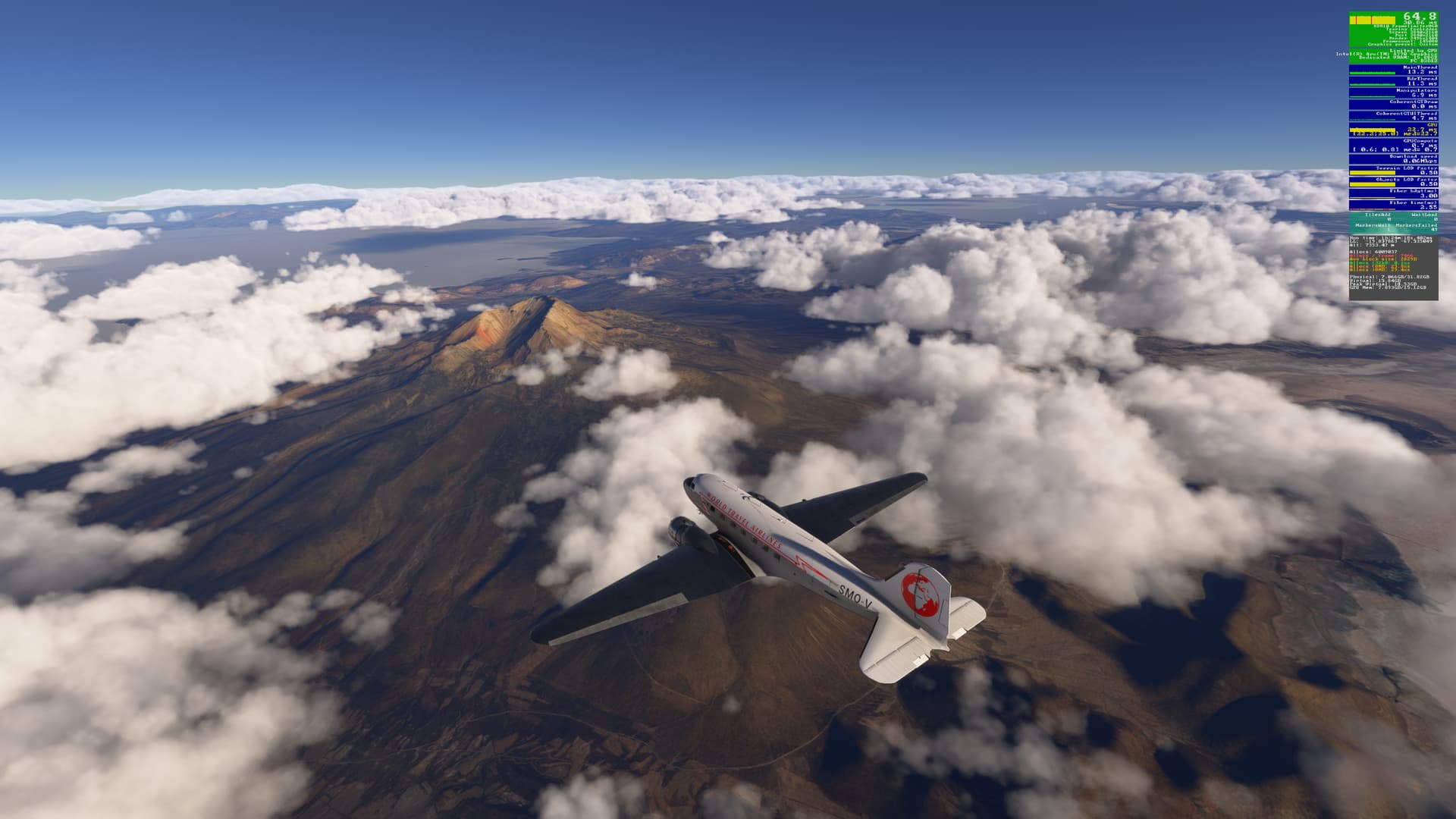
At Volcan Sillajhuay we turn south and head for Cerro Porquesa:
then Cerro Sillillica:
and Volcan Irruputuncu:
before lining up to land at Coposa:
The terminal at Coposa, with an un-named volcano (at least on my maps) in the background:
[MSFS 2024 SU3 Beta v1.5.19.0, live weather (historical)]
3 Likes
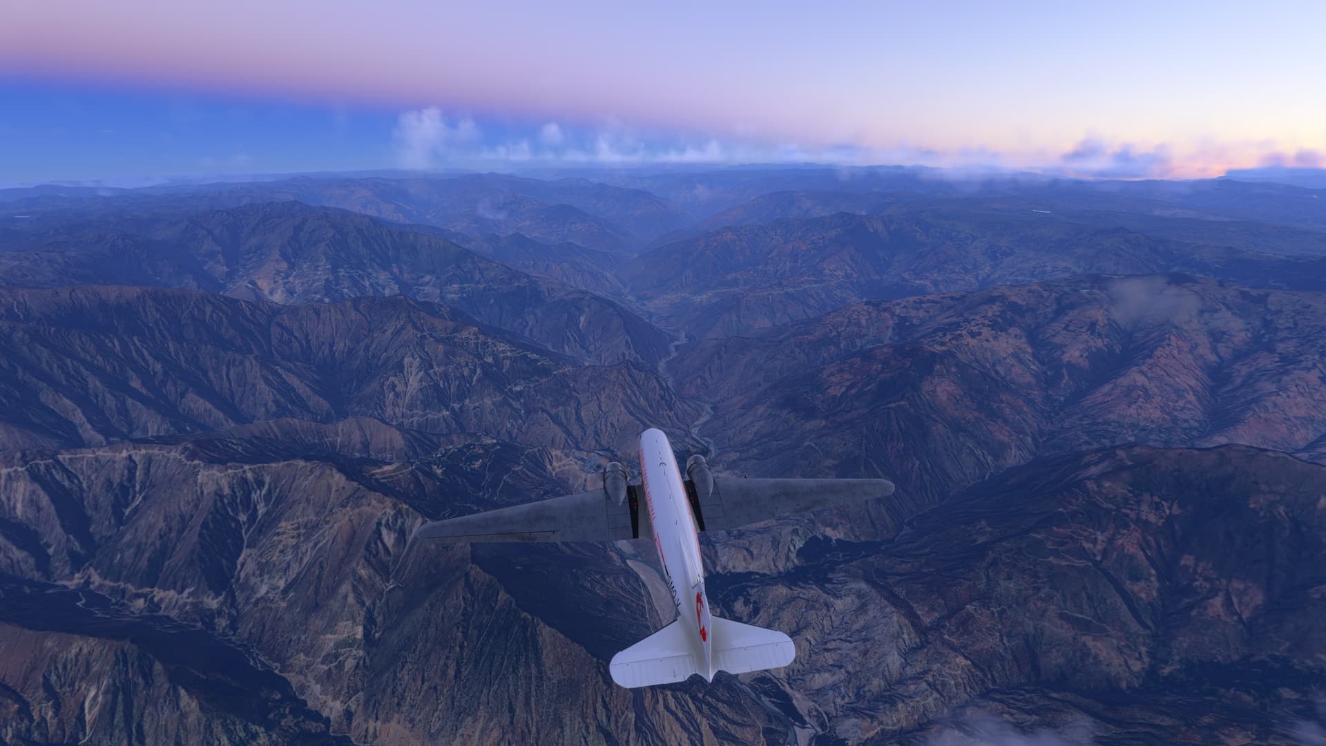
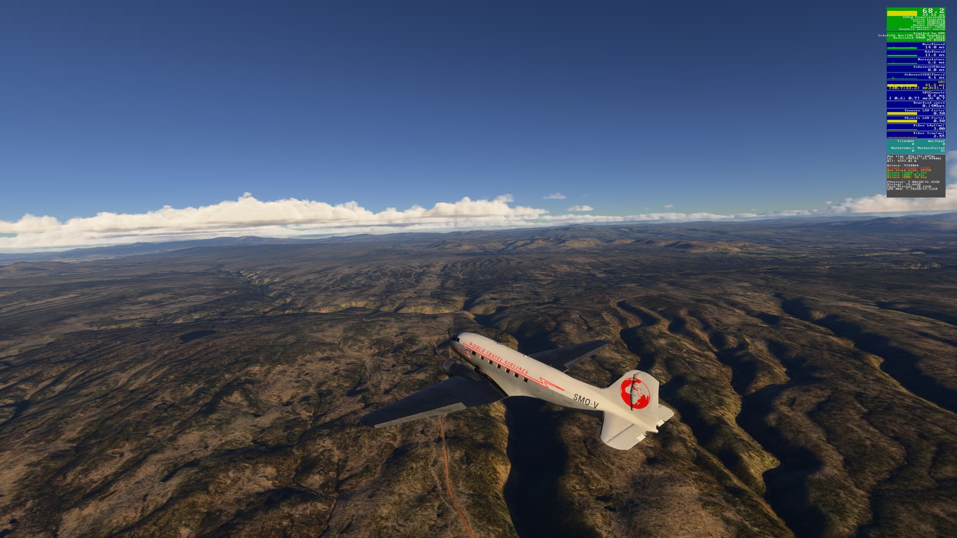
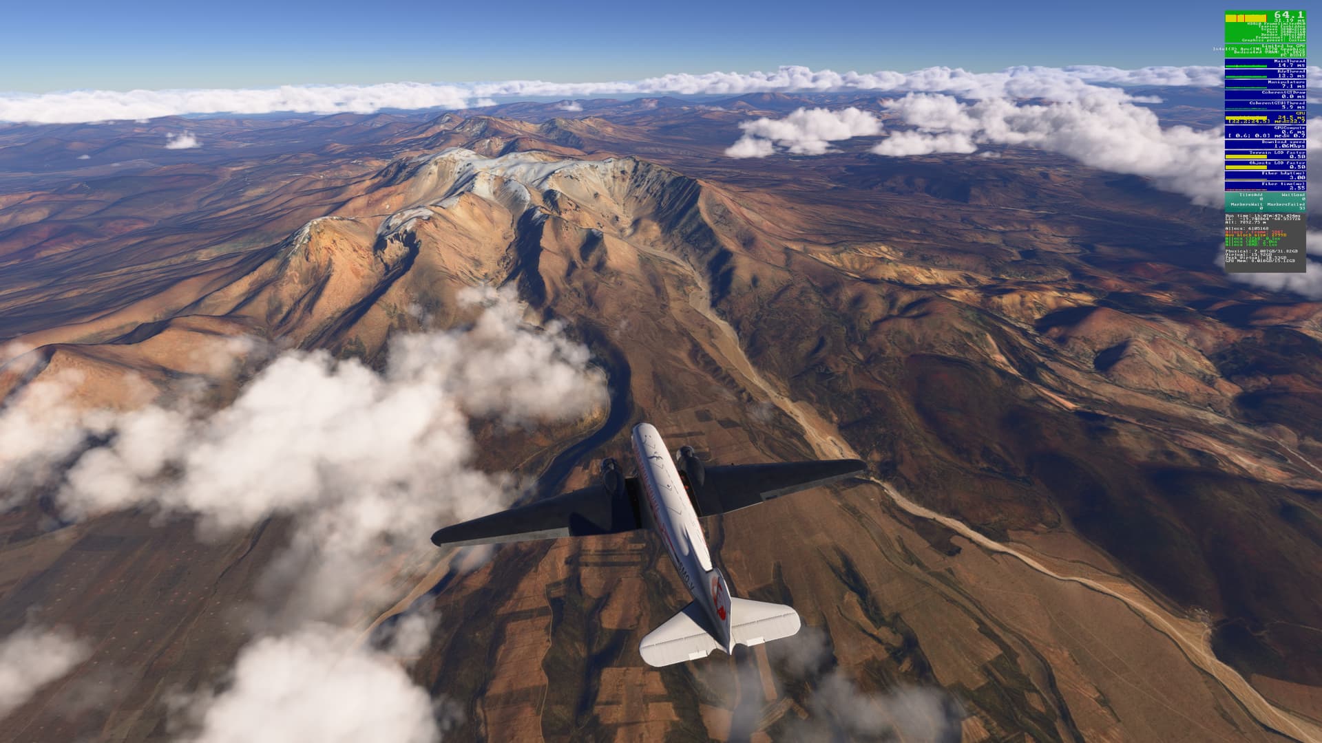
A pre-dawn departure today from Coposa, as we continue south to Antofagasta (SA14)
Our flight path takes us over Volcan Canquilcha:
and in the pre-dawn light, past Monte Caliuno & Cerro Vizcachani:
before the sun rises to the east:
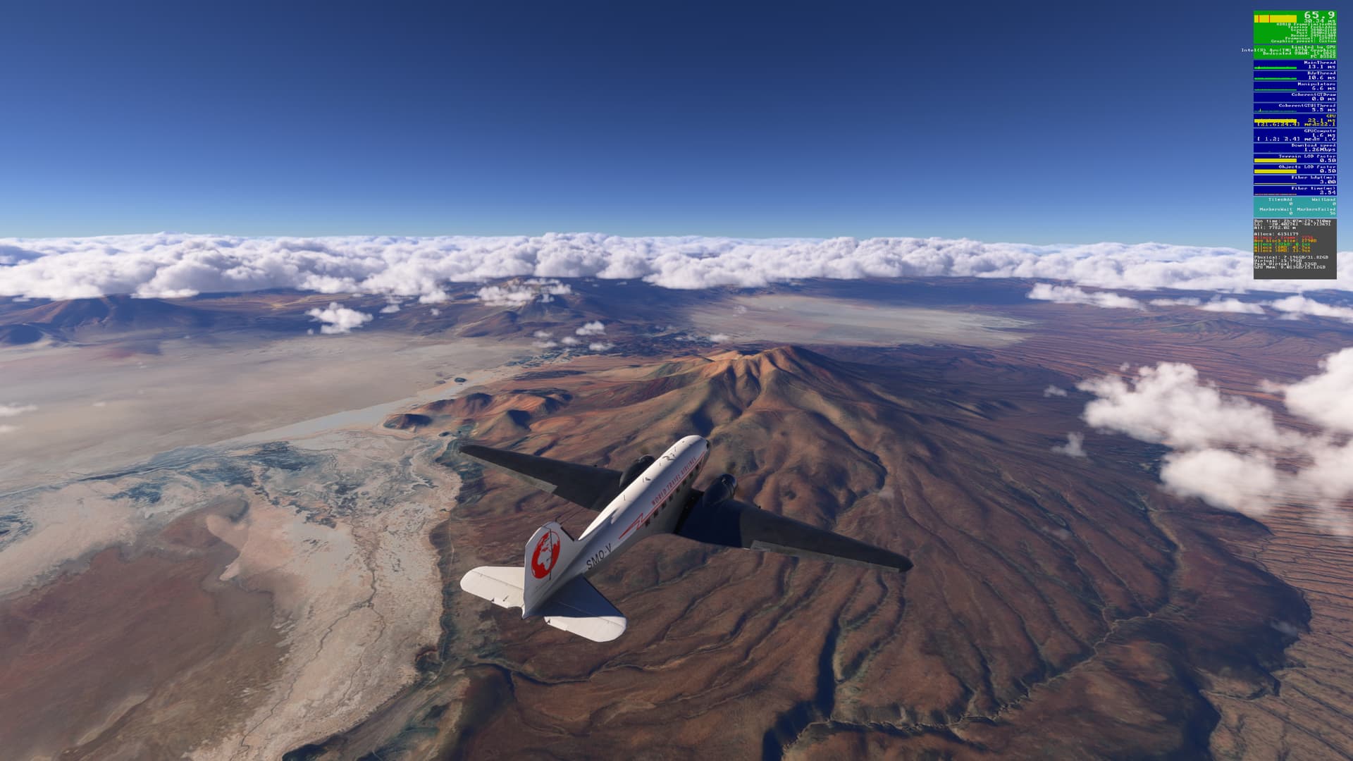
as we pass over San Pedro De Atacama (SCPE) :
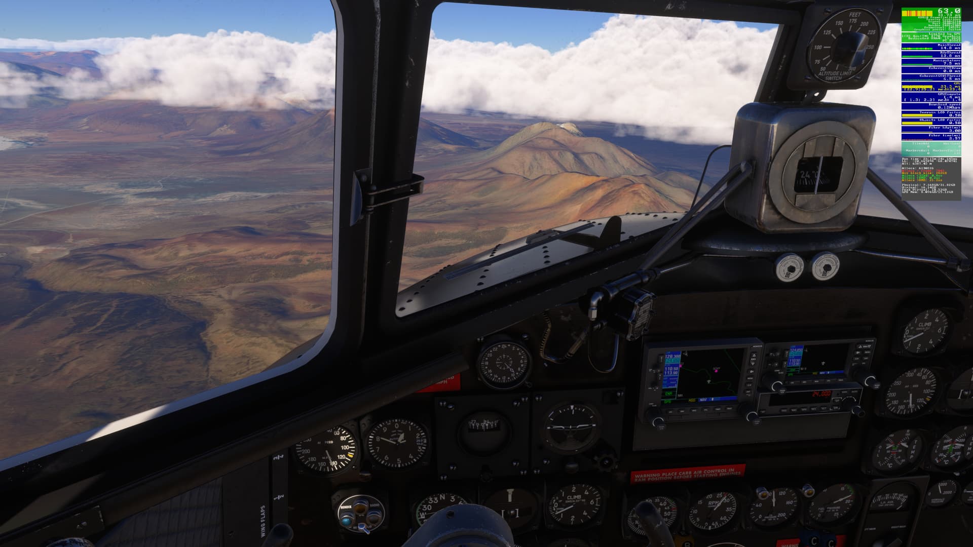
Passing Volcan Pular. Cerro Aracar is in the distance:
Crossing the border into Argentina:
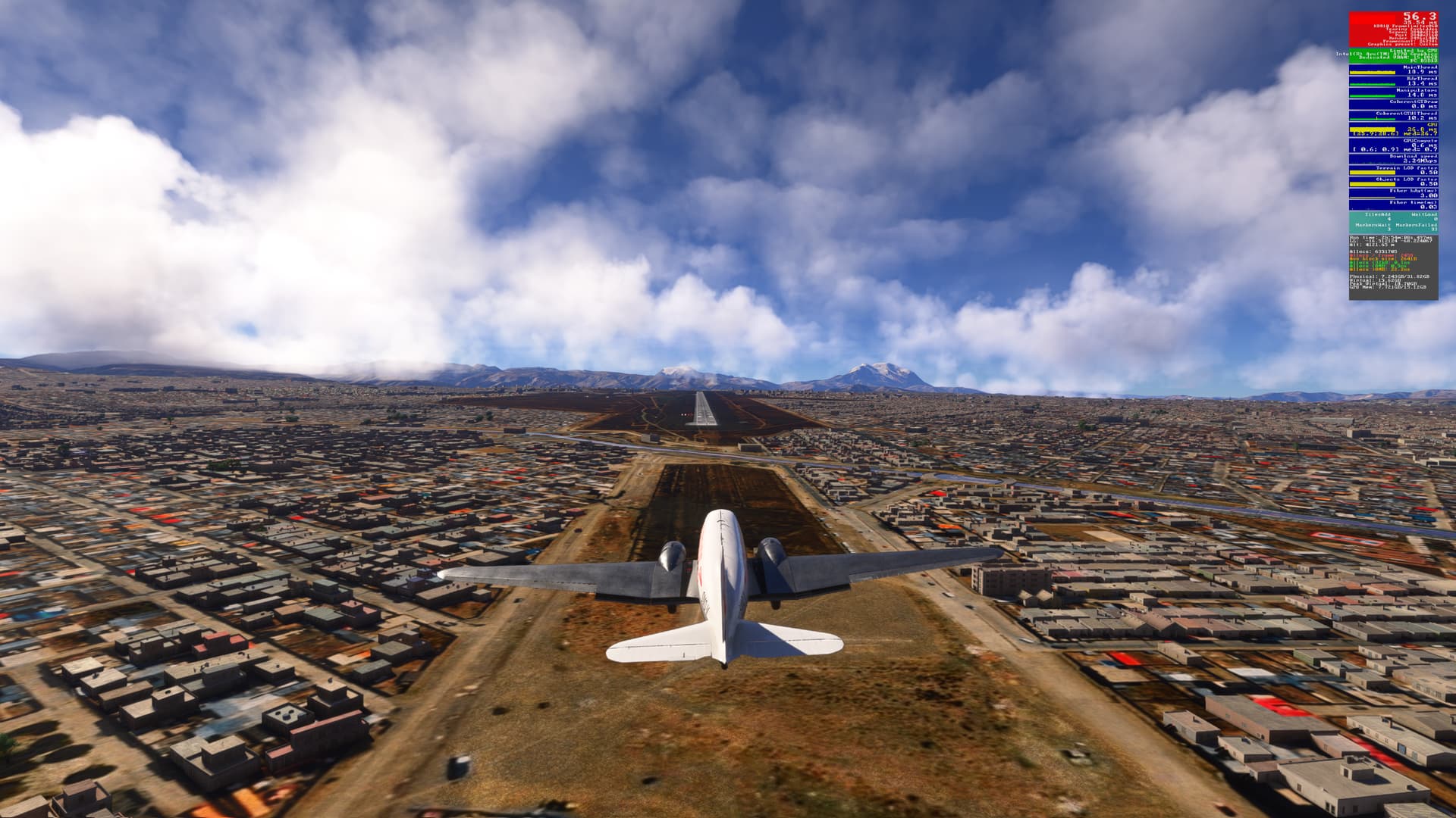
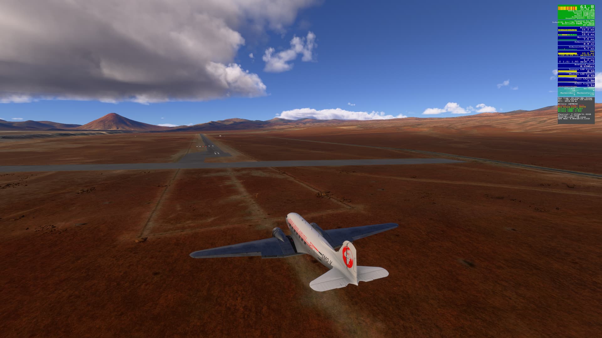
Starting our descent to Antofagasta:
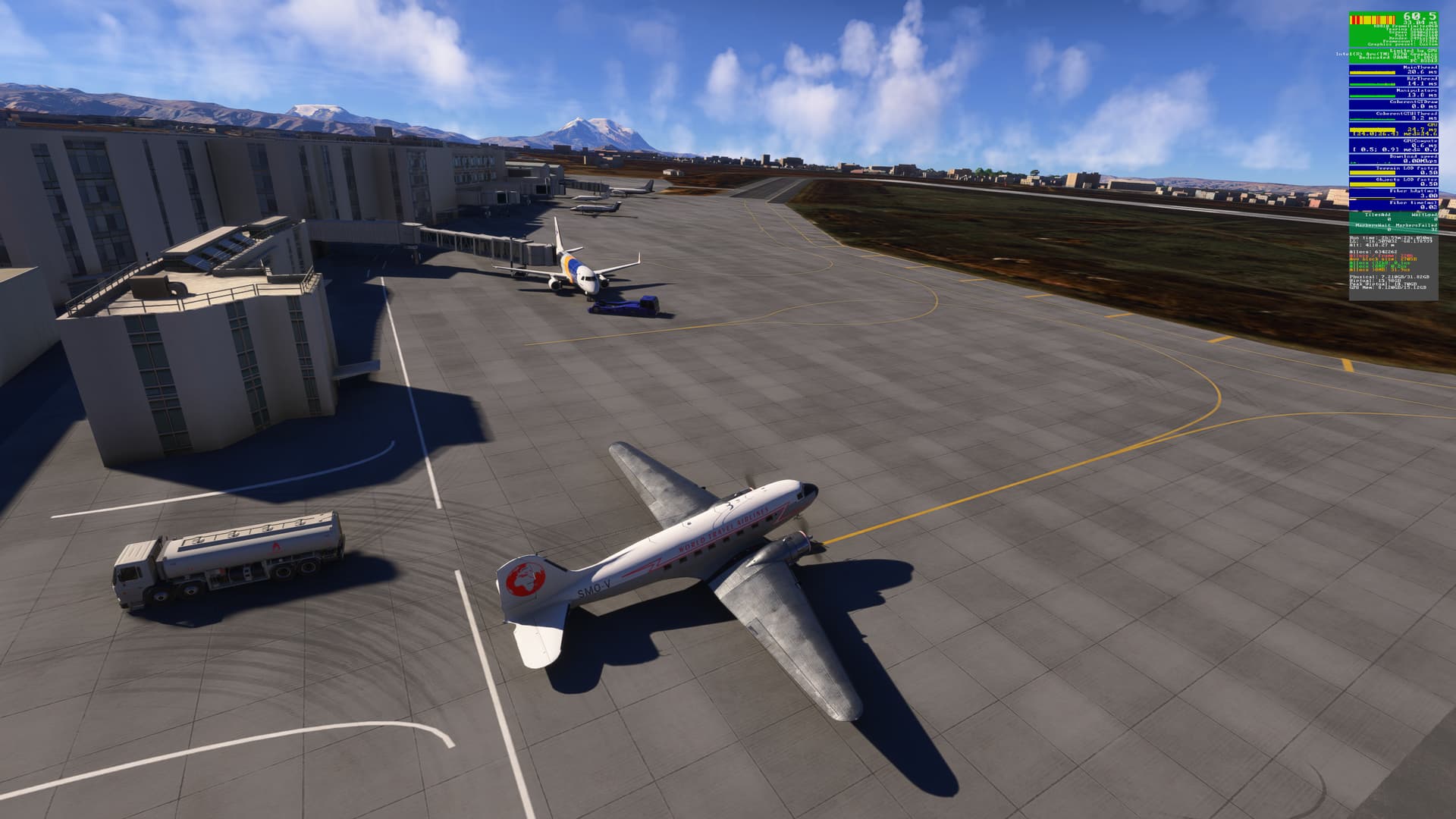
Nothing here but a runway:
Guess I’m going to have to rely on my thermos for coffee this morning…
[MSFS 2024 SU3 Beta v1.5.25.0, Live weather (historical)]
6 Likes
@SmotheryVase665
It’s a little hard to see the numbers in the dev mode counter. But it seems like you’re getting really good, consistent performance with FPS in the 45-65 range. I can’t read the render numbers well at all. Are you running 4K with DLSS 4 Quality? What CPU/GPU combo?
Hi @BegottenPoet228
In Edge, at least, one can click a screenshot to enlarge it, then click again to enlarge it further, then scroll to the top right corner to see the FPS. This might not be possible in other browsers / platforms.
I’ve provided some brief feedback on this flight in v.25 (PC) thread, which includes all my PC settings.
1 Like
I should have included this route-map of this section of my flight a few posts ago:
For those interested in repeating the flight, here is a 2024 .PLN file:
SA Andes 2 Jorge Wilstermann Intl (SLCB) to S C De Bariloche (SAZS).pln (11.7 KB)
3 Likes
I use Chrome. I can enlarge, but not freely scroll around. Maybe there’s a way to zoom in on a section without copy/paste into Paint.
Thanks for the link.
1 Like
You have some great screenshots here! I just stumbled upon your thread from the Beta Discussion thread.
This looks like a great route to fly.
1 Like
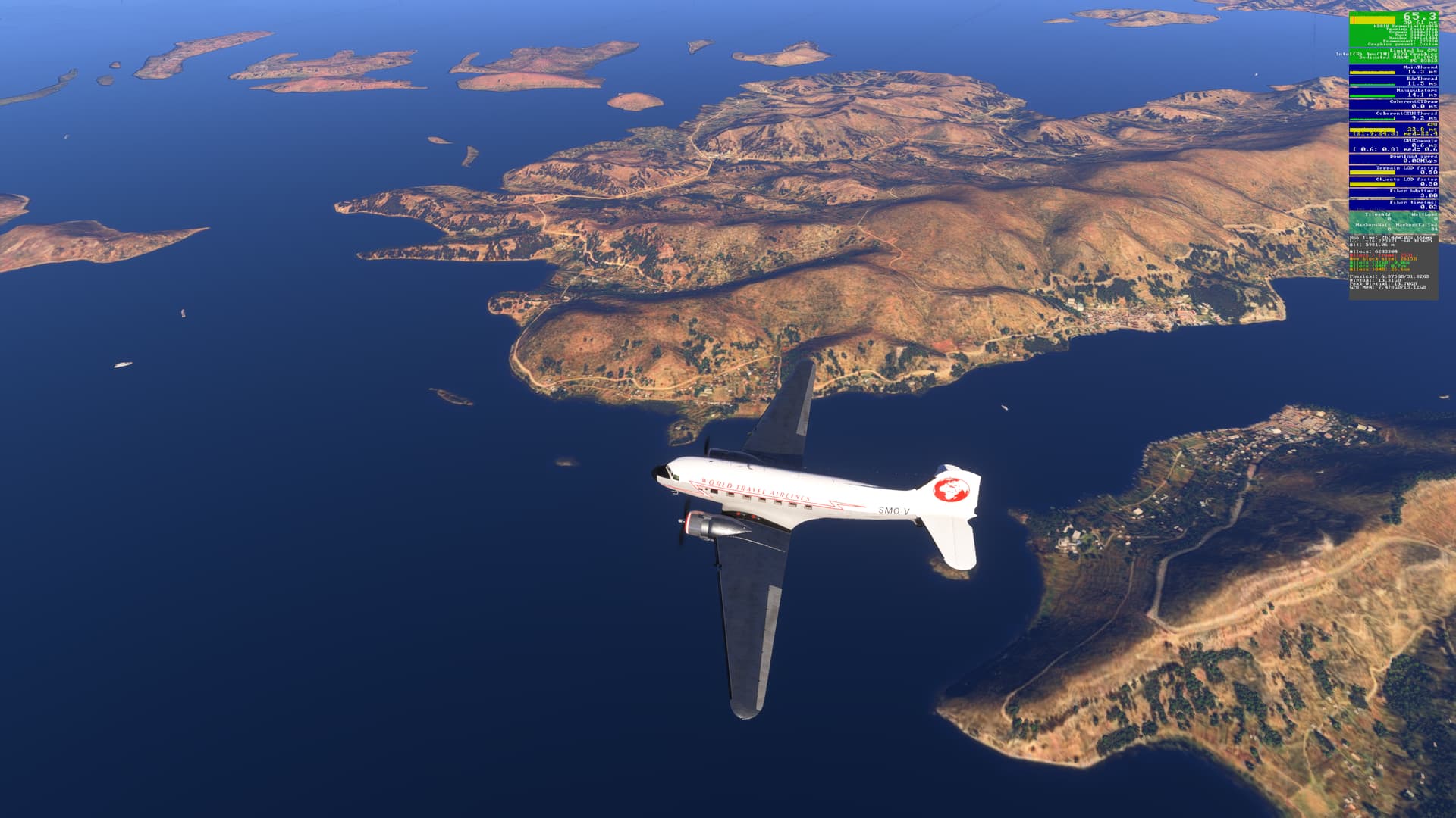
Nice shots!! I have just arrived Santiago in my personal world tour and I love the area.
1 Like
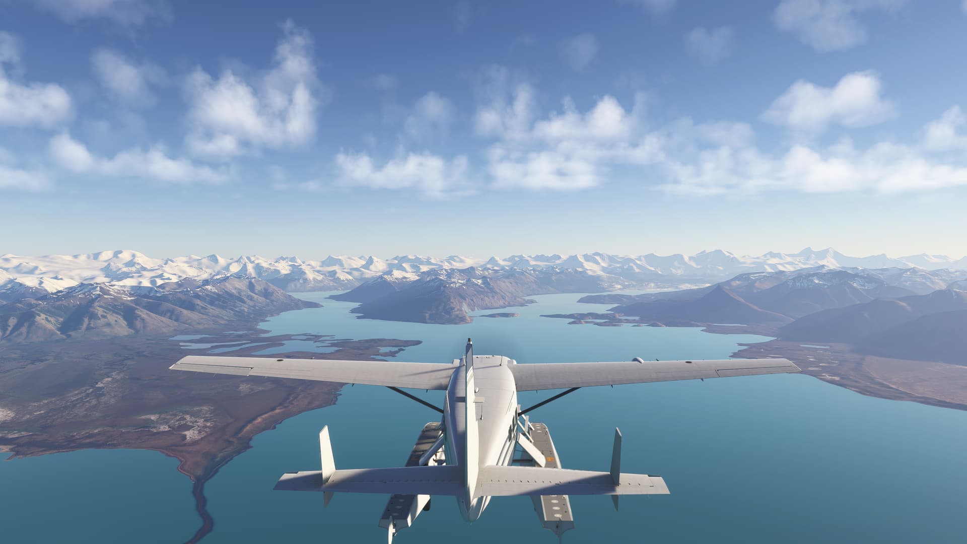
Very nostalgic journey for me as I used to go fishing down in Patagonia including at Bariloche. Here is a shot i took at the lakes/fiords to complement your travels. Need to repeat your trip! Thanks for the pln… think i will try it in the C-210 or is it the 208. I think this is the 208.