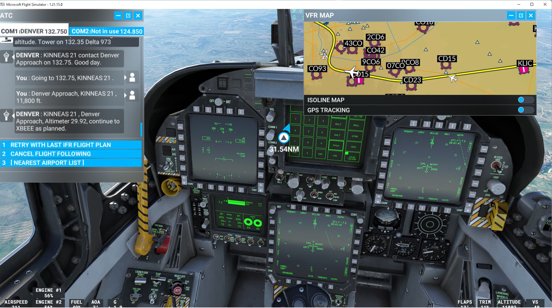
I have not seen such options in the F-18C (DCS version) or in any of the other military aircraft that I have flown in simulations. The only option you typically have is to fly to the desired altitude and then hit BALT or RALT, which engages the barometric or radar altimeter altitude hold function.
Not sure why they don’t have the autopilot options you mention, but a fighter aircraft is surely flown in a different way then an airliner. The climb is typically much shorter than that of an airliner, the climb rates are insane . Perhaps the relatively short climb reduces the need for autopilot functionality?
Also often they fly in formation, with one of the planes in the lead, and the rest just follows. It is probably not desirable to fly on autopilot during a formation flying climb.
I had the problem of never getting any TACANs to work and I’ve seen others have the same issue following the procedure above and nothing shows up.
If you are using Navigraph data (like I am) there is an update to the AIRAC cycle to add TACAN support. Once I installed this update the TACAN started working in the F-18. Just go to your Navigraph app and update your data. Maybe this will help someone else who hasn’t been able to get TACAN working and is using Navigraph.
Minimum range normally should be 0NM, but using the default nav data I’ve seen many stations outside the US have minimum ranges of around 27NM. The maximum range in the sim tends to fall around the 90NM mark in my experience.
No, the patch notes tell you the waypoint management and sequencing has been added, but give no details on usage. Thankfully they have recreated the system pretty well so other documentation worked for it, I’m mainly waiting on the update to go live first just in case anything weird creeps into the final build.