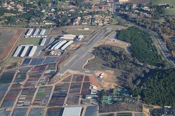
Fallbrook Community Airport (L18) is 60 miles north of San Diego. The runway is unique, slightly short (2160ft) sited on a lone mesa a few hundred feet above the city. It’s a small hill which makes the hangars and some of the taxiways lower than the runway, requiring to taxi up hill. The approach view include "Mt. Palomar, home to the world-famous 200-inch reflecting telescope, to the east. To the west is the Marine’s Camp Pendleton, to the south is the San Luis Rey Valley, and to the north sits the largely agricultural community of Fallbrook, most famous for its avocados, and a handful of celebrities who mostly want to remain anonymous. " (source Airport Journal).
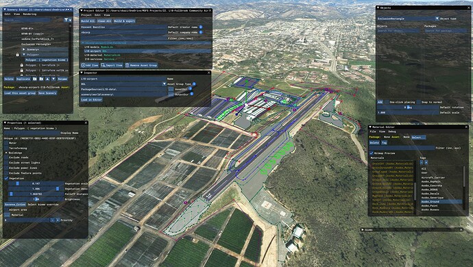
It’s a very (very) difficult airfield to enhance in MSFS because of the multiple terrasses from the top transient apron to the town ground level. I’ll do my best to simulate these different levels with my amateur skill ![]()
L18 is one of the last (?) San Diego airport to cover the whole area with some freewares and some payware (Palomar, San Diego Intl…).
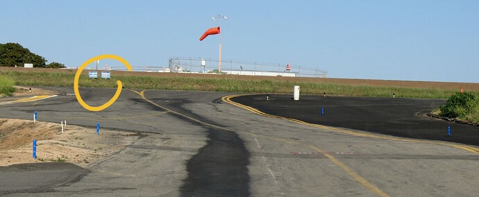
I have done the most of the phase of collecting data on Internet (Youtube, Flickr, Yelp, Google, Mapcarta, Bing map, San Diego County, local business websites…). But there’re still some Blue signs on uphill taxiway that I can’t identify, just to take a single example. If you have material to share that could help, go! Please, feel free to share them!
As all my amateur’ish work, it will be available for free. If you wan to support click “follow” on this page : Sceneries Requests - Fallbrook Airpark L18 - Flightsim.to


