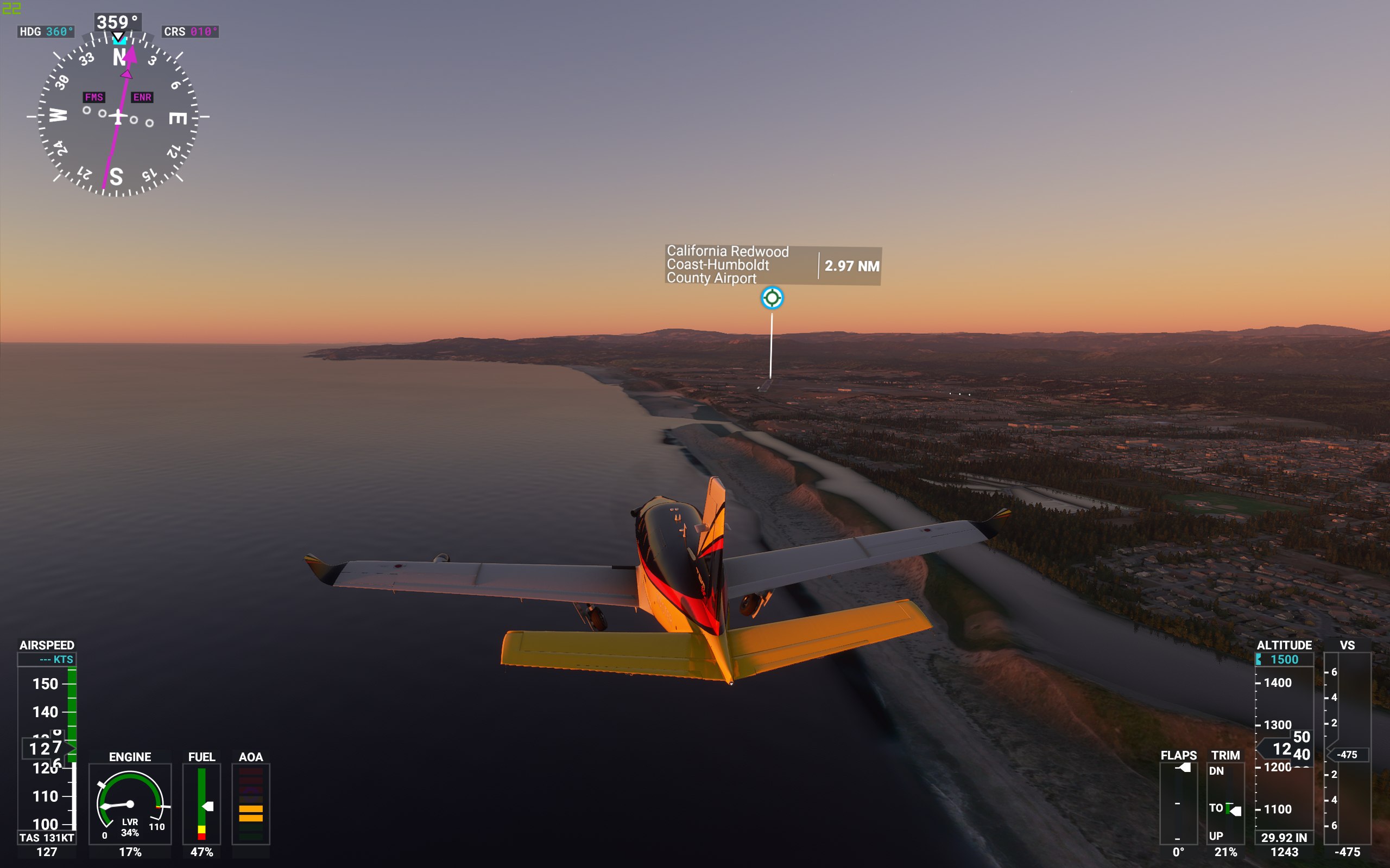
I created this plan for all the geology and geography fans. This is a flight from KBWC, Brawley Municipal, to KACV, Humboldt County. It follows, as close as I can get, the San Andreas Fault from the Salton Sea to just south of Cape Mendocino using the available navigation aids of FS2020.
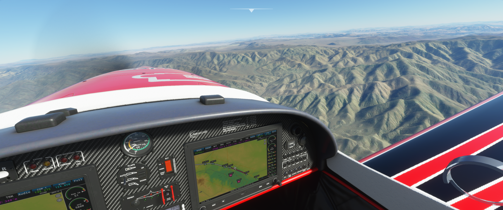
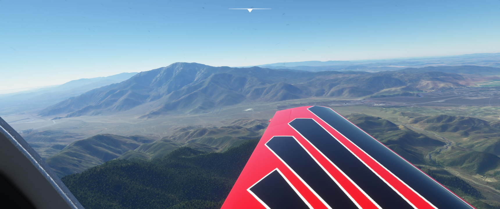
The route is 685nm, and I suggest you use a cruise altitude of 10000 feet, or 9500 feet if you want some close shaves with the Southern California mountains.
It was wonderful until I had to go to bed just south of the SF bay area. When you save you lose the flight plan, so I will have to start again, but so far haven’t had the chance. It makes me want to review what I know about the SA Fault. (I’ve been in 4 California earthquakes including the one in July 2019).
Once again, nice contribution. Thanks. Hope others can enjoy it.
I was in Long Beach when the quake hit last July. It was rocking and rolling, and that was my first big one in 25 years. In the Bay Area I’ve only experienced a couple of 5s.
Regarding the flight, I made sure all the waypoints were good and the flight plan was accurate enough by flying it accelerated. I got through from the Salton Sea to the destination in about 45 mins. It may help you skip the bits you have already seen.
I was in a hotel near LAX during the July 5th quake. Whole room started shaking in that ‘quakey’ sort of way that you come to recognize (a little like a freight train going by, but much stronger). I was mainly concerned about the elevators, but everything held up fine. The shaking lasted about 40 seconds, followed by a strange sensation of ‘swaying’ back and forth very slowly. I thought I was imagining the last part, but found out later that that is a real effect.
Flying your route made me rethink that experience. I get out to California most years still wondering if I’ll be there for ‘the big one.’
Ironically, on TV I was watching the WSOP in Vegas at the time, and they had to hold up the tournament briefly as the chandeliers were swinging and tables were shaking.
Yes, when I restart your route I’ll definitely speed up the sim rate for the early part. Thanks again!
I just finished your flight plan – the whole way this time. Flew a TBM (Icon first time), so things went faster. Total time – 01:53. I didn’t want to speed up the sim rate though, so I just tried to enjoy the view.
Very interesting … I can appreciate all the work that went into this.
I hadn’t realized until now that north of the Bay area the fault tracks the coastline very closely. I guess that part of CA already broke off and fell into the sea
I was thinking that since RNAV approaches are pure GPS and don’t rely on any ground stations, it ought to be possible to set up a GPS track exactly where you want it with precision accuracy. Maybe some kind of GPS tool kit could be an idea for a 3rd party add-on?
It was a beautiful flight, ending just before sunset. Butter landing. Thanks again.
Flew the whole route no problem. As an Englishman I have heard of the San Andreas Fault of course but I did not know where it lies exactly. I was surprised to see that a lot of people had built towns and villages pretty much on top of it; not to mention San Francisco. I did not realize that the valley and the string of lakes just west of KSFO is the course of the fault. I have been there quite often but LIVE THERE are they mad!
As for how obvious it is flying in the sim I thought at times it was not very clear. I wondered if south of Silicon Valley it divides in places with a ridge between the cracks. We have nothing like it in Europe.
All quite educational. Especially the bit of finding the folder with the .pln flight plans. That took a little while. Thank you for an interesting exercise. I only regretted having to fiddle with the time of day at intervals to make the views less washed out by generating landscape shadows with the sun position.
Glad you enjoyed it. Some towns south of Silicon Valley like Hollister get small quakes quite frequently, but they have always lived with it. If you think about it, you could live an entire lifetime without experiencing a major quake on the San Andreas: 1906 to 1989, for example. It makes you understand why folks don’t worry too much.
You’re more likely to experience a natural disaster such as a tornado or hurricane if you live in one of the threat areas. I’m happier living in Silicon Valley
BTW, I’m English too. I was always fascinated by the fault. My curiosity increased after I moved to California.