[Freeware] PABR Barrow airport (USA - Alaska) Release 1.4

hi all,

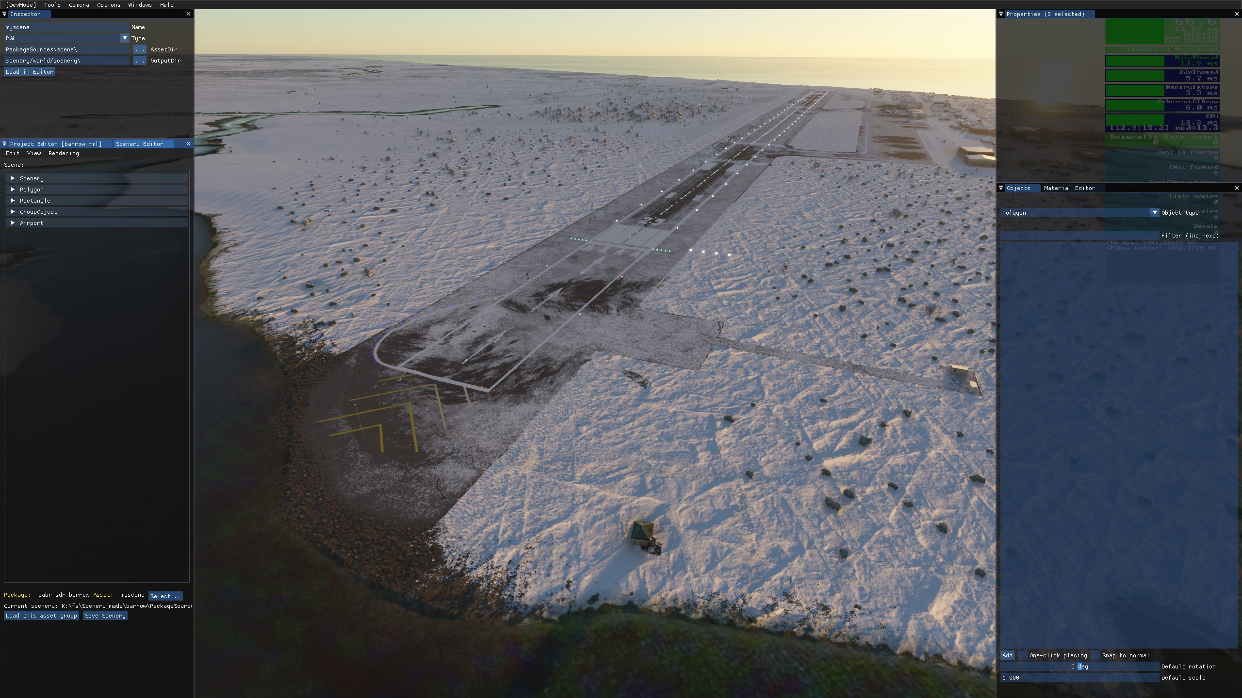
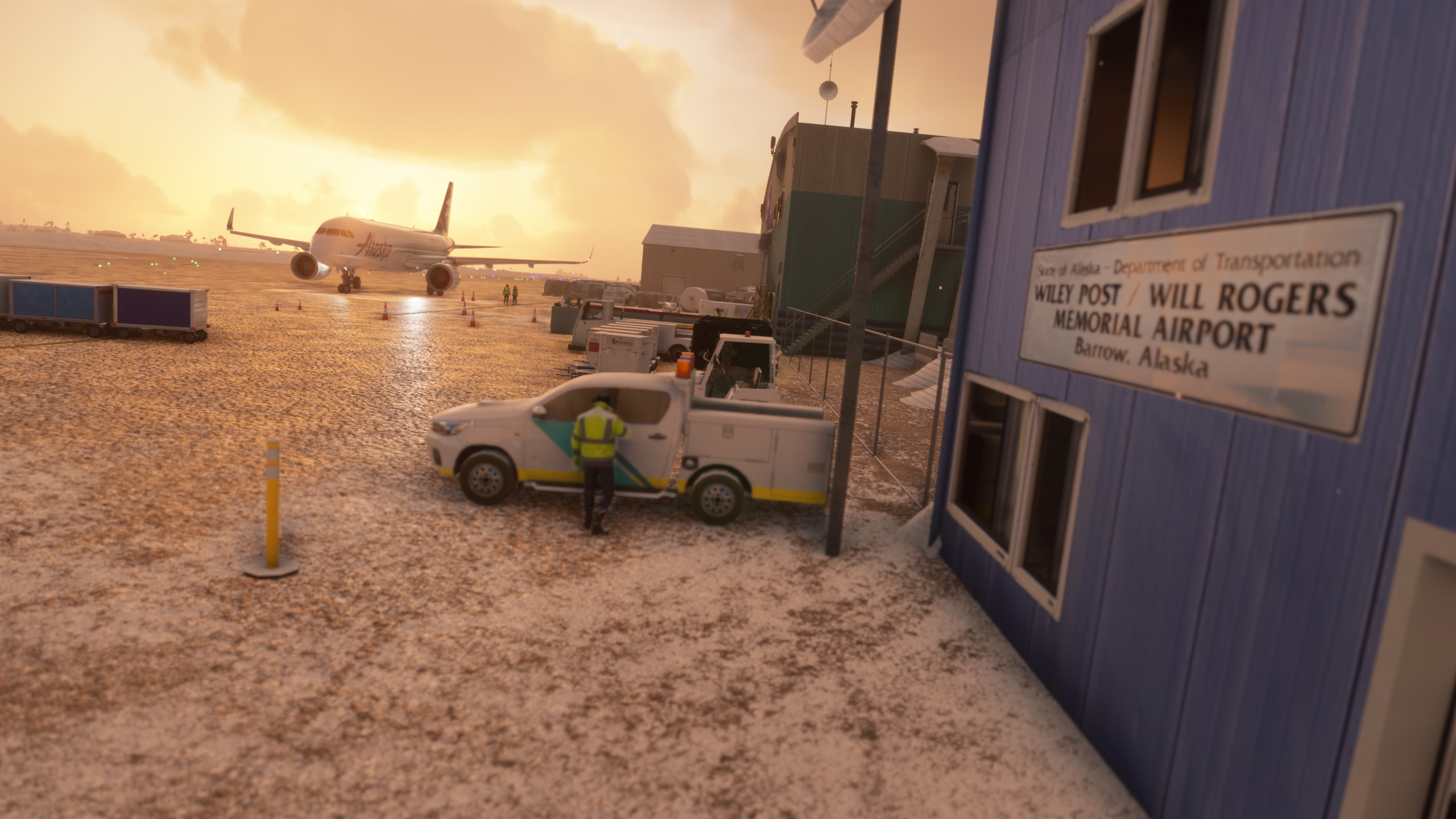
during my World VFR Tour i just landing in Alaska. My first stage will be Barrow. So why not to model a new airport?

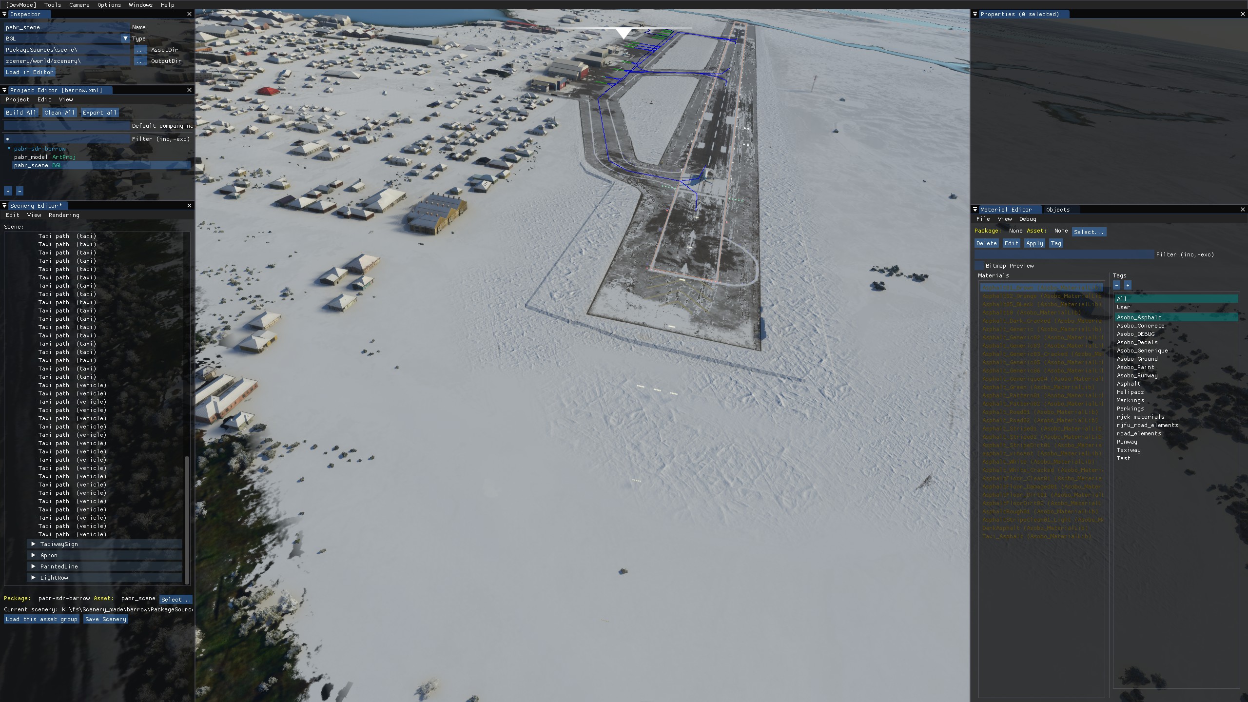
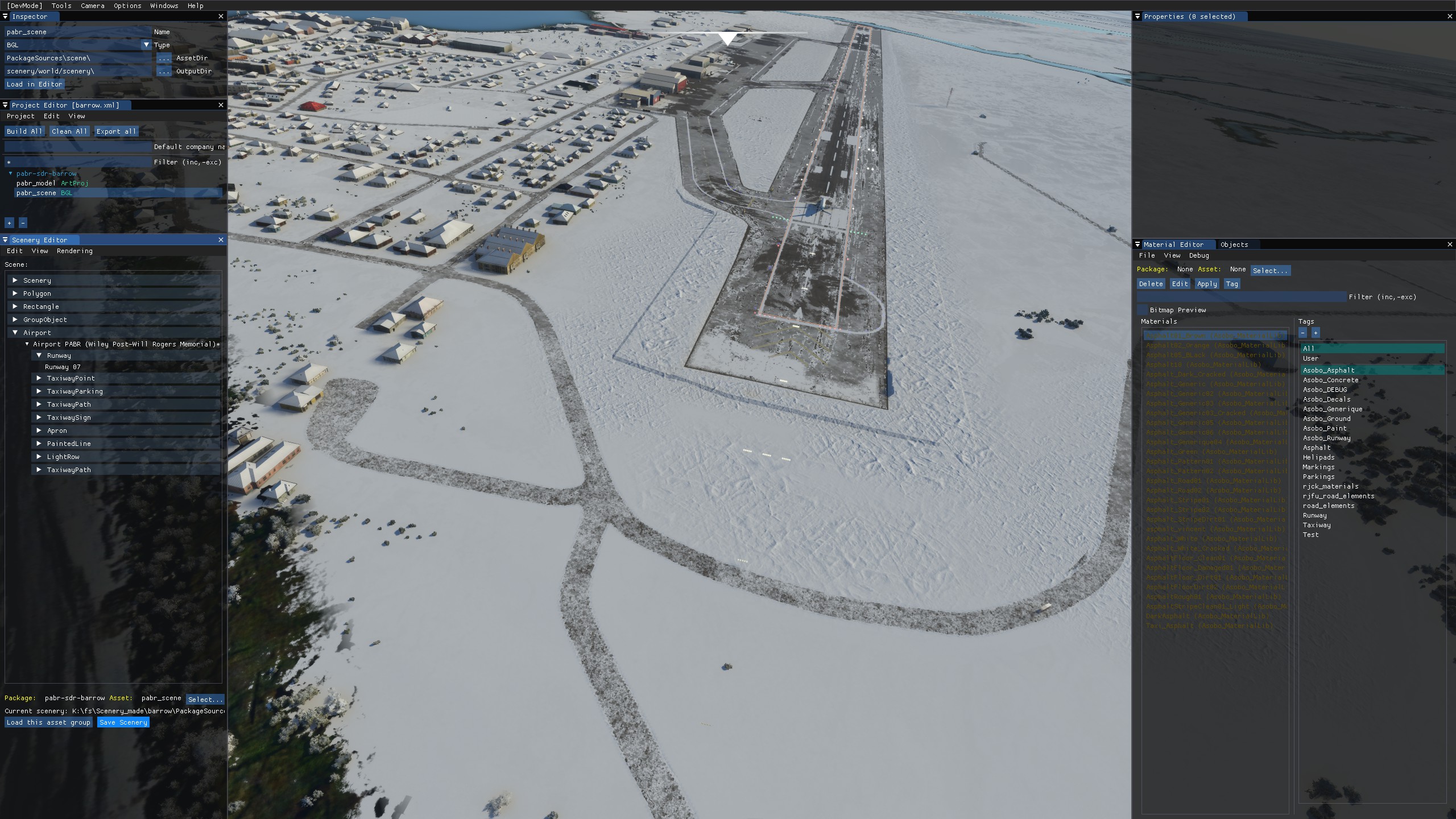
Wiley Post–Will Rogers Memorial Airport , (IATA: BRW , ICAO: PABR , FAA LID: BRW ) often referred to as Post/Rogers Memorial , is a public airport located in Utqiagvik (Barrow), the largest city and borough seat of the North Slope Borough of the U.S. state of Alaska.[2] The airport is owned by the state.[1] Situated on the Chukchi Sea at a latitude of 71.29°N, the airport is the farthest north of any in US territory. The airport is named after American humorist Will Rogers and aviator Wiley Post, both of whom died about 9 mi (14 km) away at Point Barrow in a 1935 airplane crash.[3]

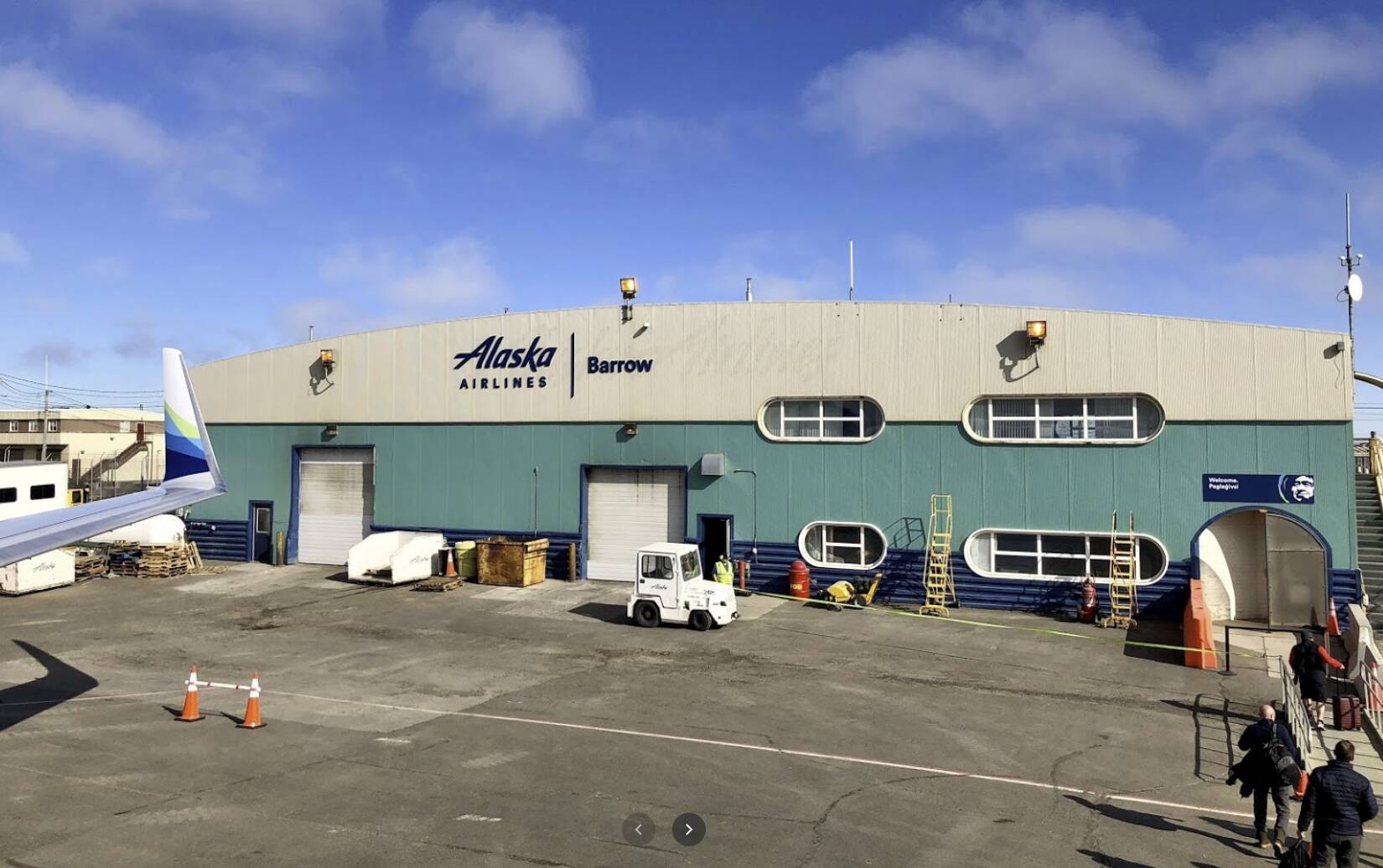
if someone has some good photos of this airport, can post here please.
Felice Natale.


3 Likes

2 Likes

5 Likes

Excellent modeling and texturing man. Finally some proper Alaska airports!

i dont have found any other hangars/building photo so i think to start with these the first version of scenery


1 Like

I need more airport photo guys.
especially the other hangars

Please help

Awesome, one of my favorite places to fly from, into the backcountry and they unknown.

Excellent work!

Hi everyone,

unfortunately I did not find photos of other parts of the airport and the images in the few videos found do not help.

With the rest, I was able to model the 3 main buildings.

I entered the correct frequencies that were missing before, the ILS is to be tested as well as the Vor dme present.

2 Likes

i’m starting to work with snow layer.
I just improve very well the field surround

take a look

original

edit

1 Like

This looks great! The North Slope is such a different place. I wish I had taken pictures of the airport when I was there!

2 Likes

anti-snow vehicles in action…

how many snow on taxiway edge! :wink:


20201229113404_1|690x388

3 Likes

V1.0 its released.

i hope you like it

5 Likes

1.2 release

v1.3 release
add more building

2 Likes

Just curious if you have any intentions of “Beefing-Up” PT. Barrow (The Military Airstrip) that is just a few miles away? Just a little bit!

my dear zukemania,

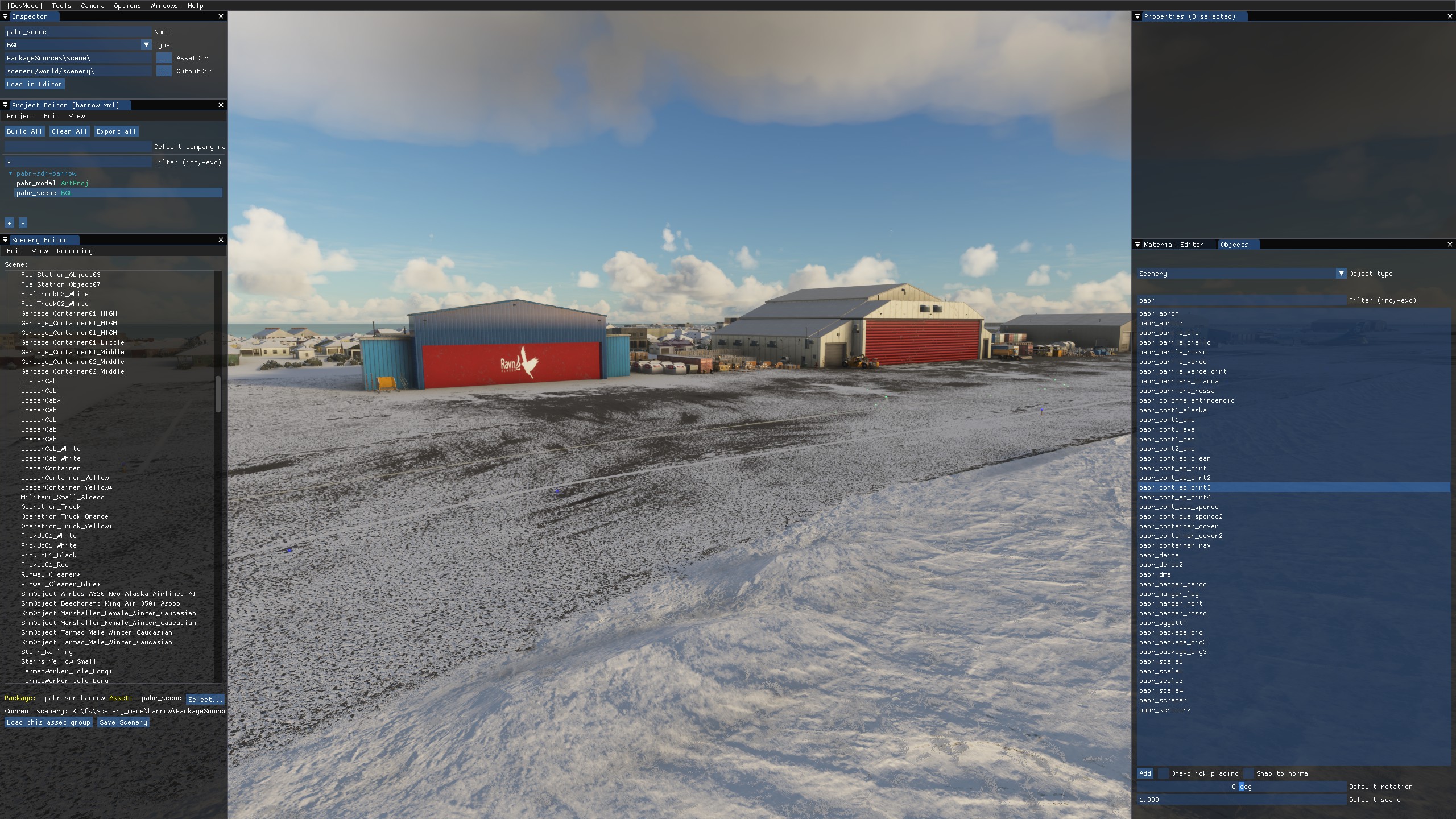
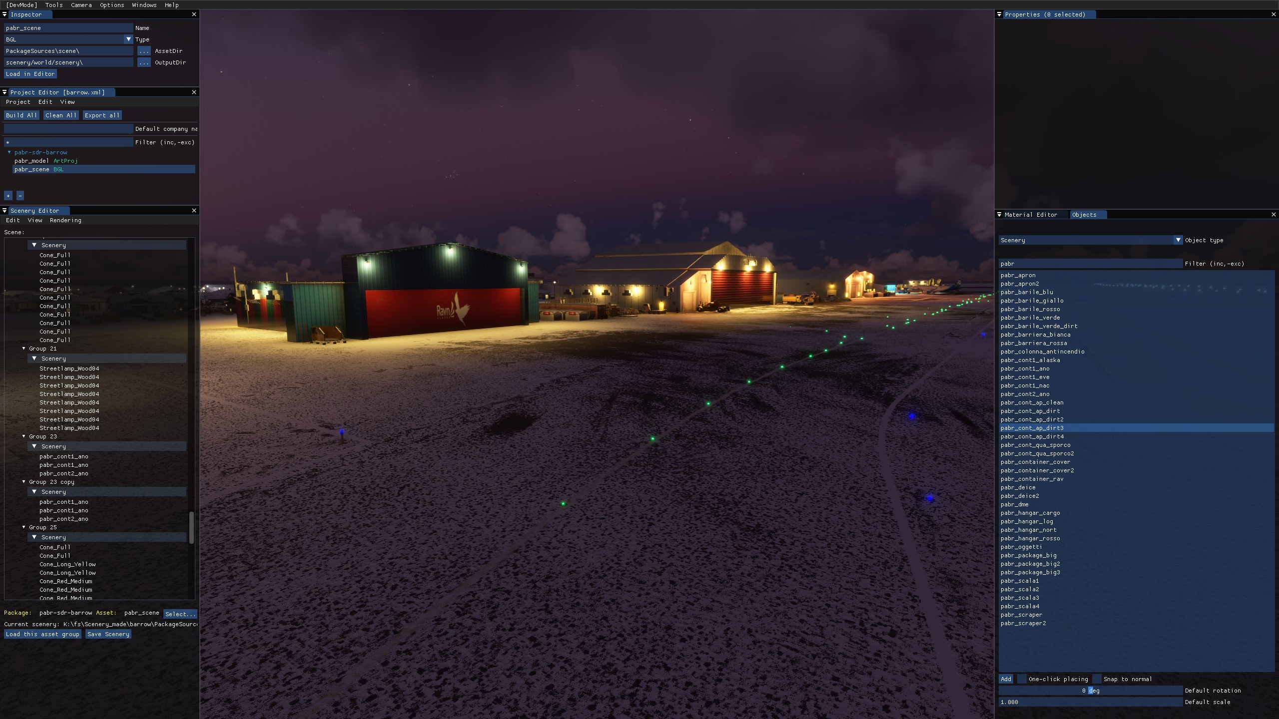
this airport, PABR, is very far from finish… I work on this, sorry, I spend some time on this for hobby.
my passion pushes me to improve it more and more, although there are not many sources, nor photographs. In fact, no one has posted a single photo of this airport.

So it’s hard to go on. When I finish it, or when I think it may be finished, I’ll see what can be done. But without support, without sources, references or anything else it’s tough: D

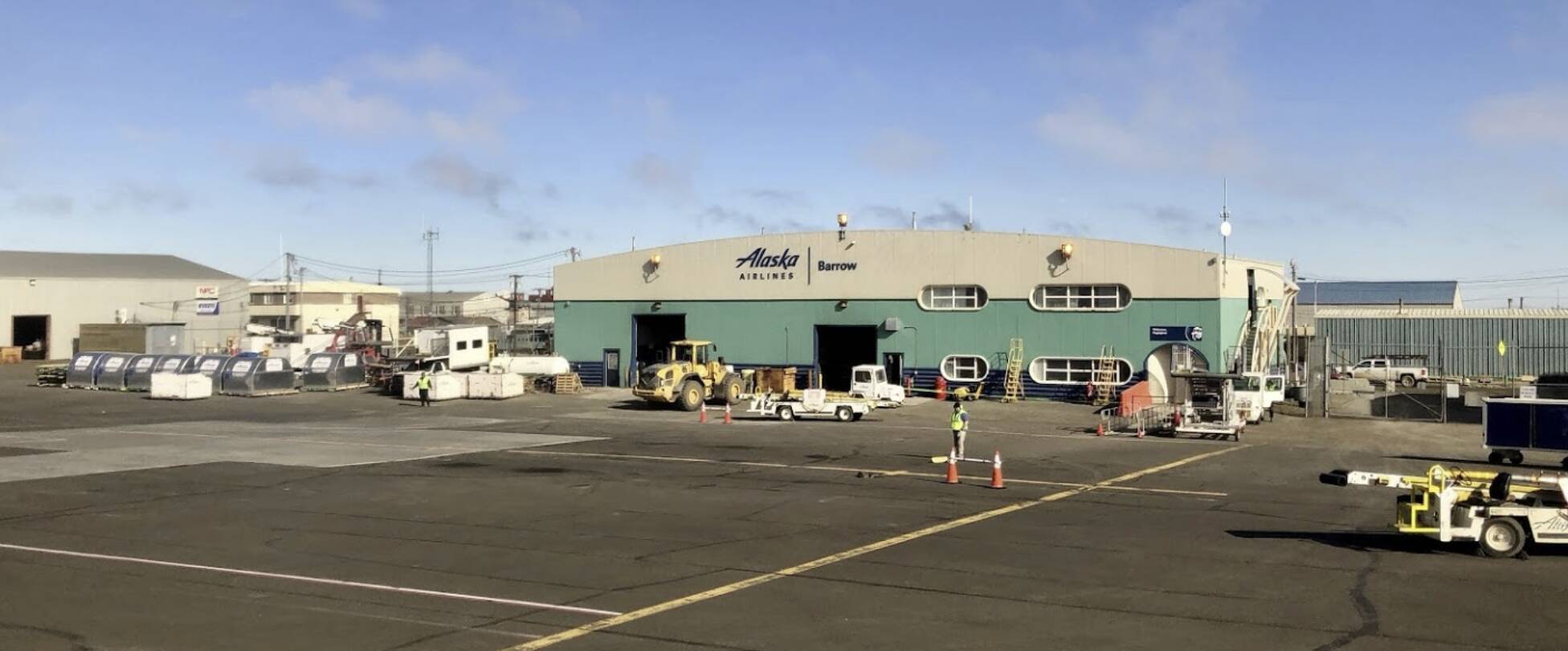
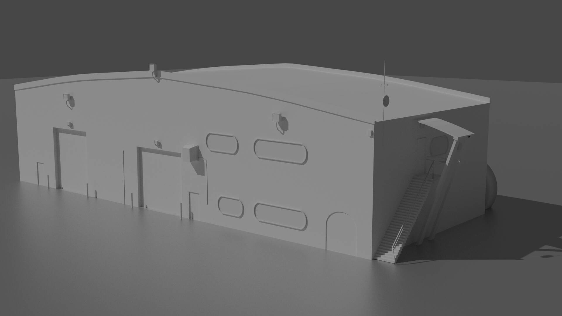
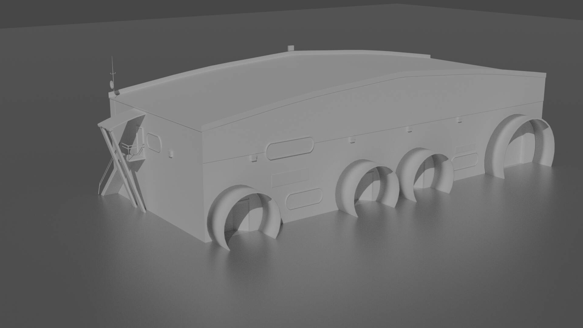
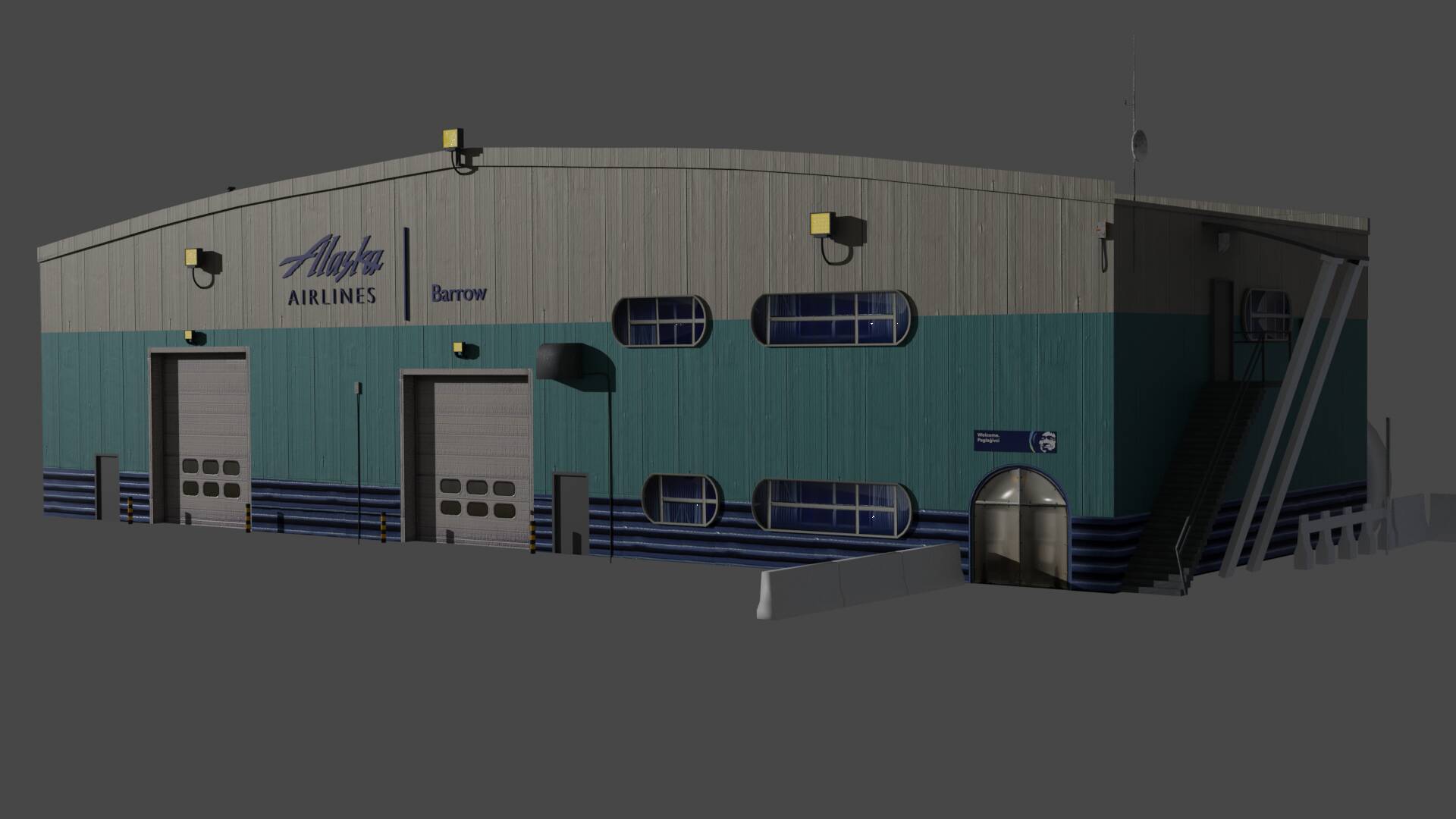
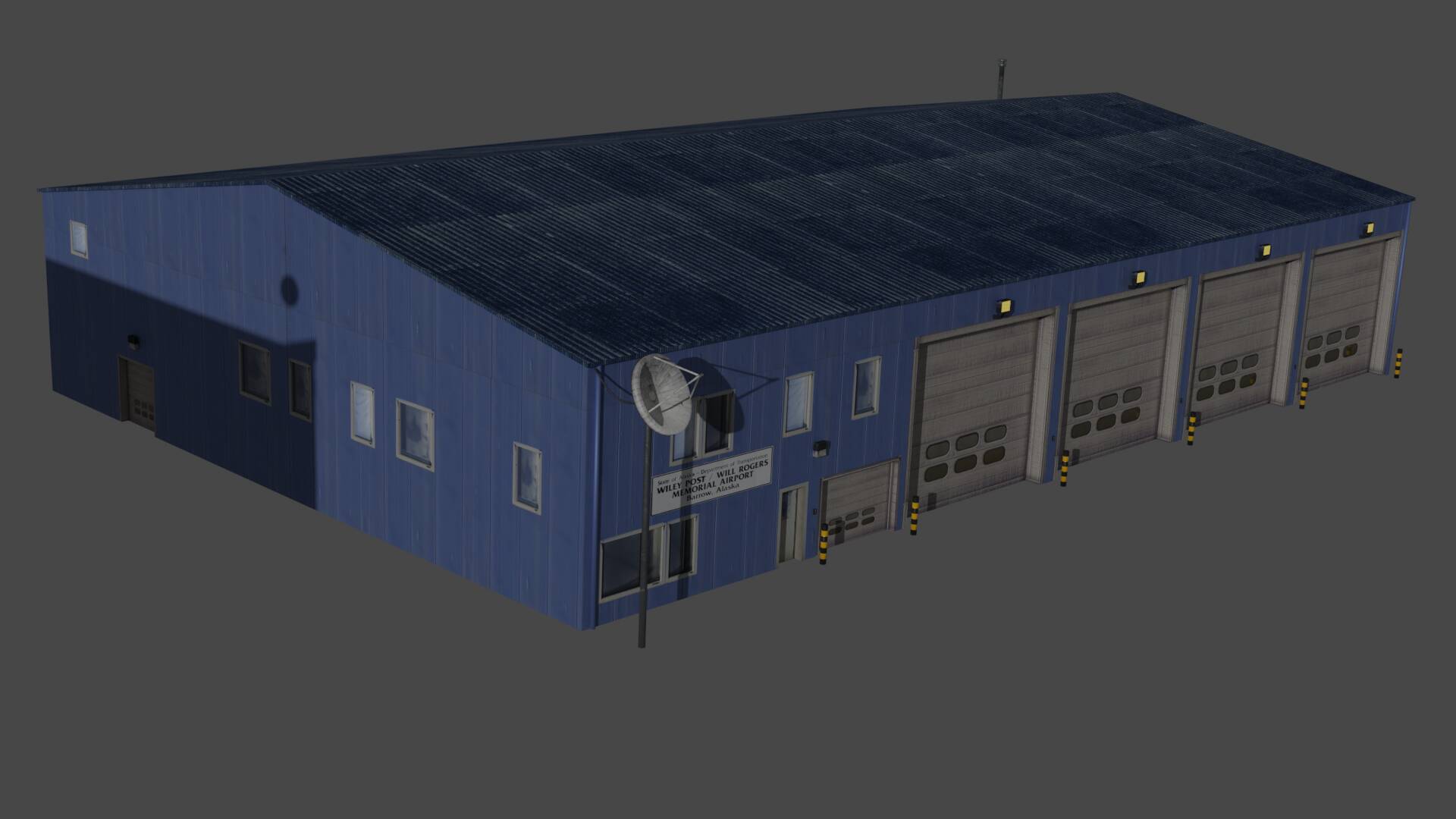
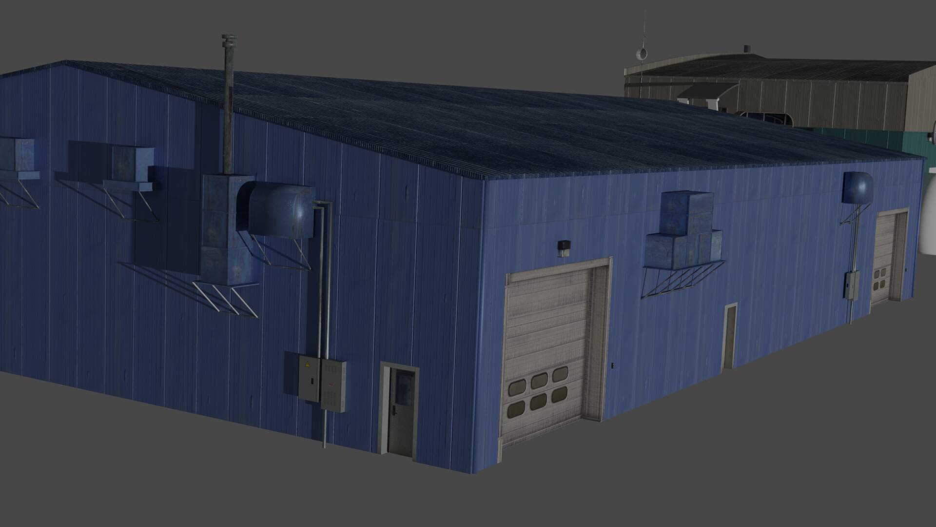
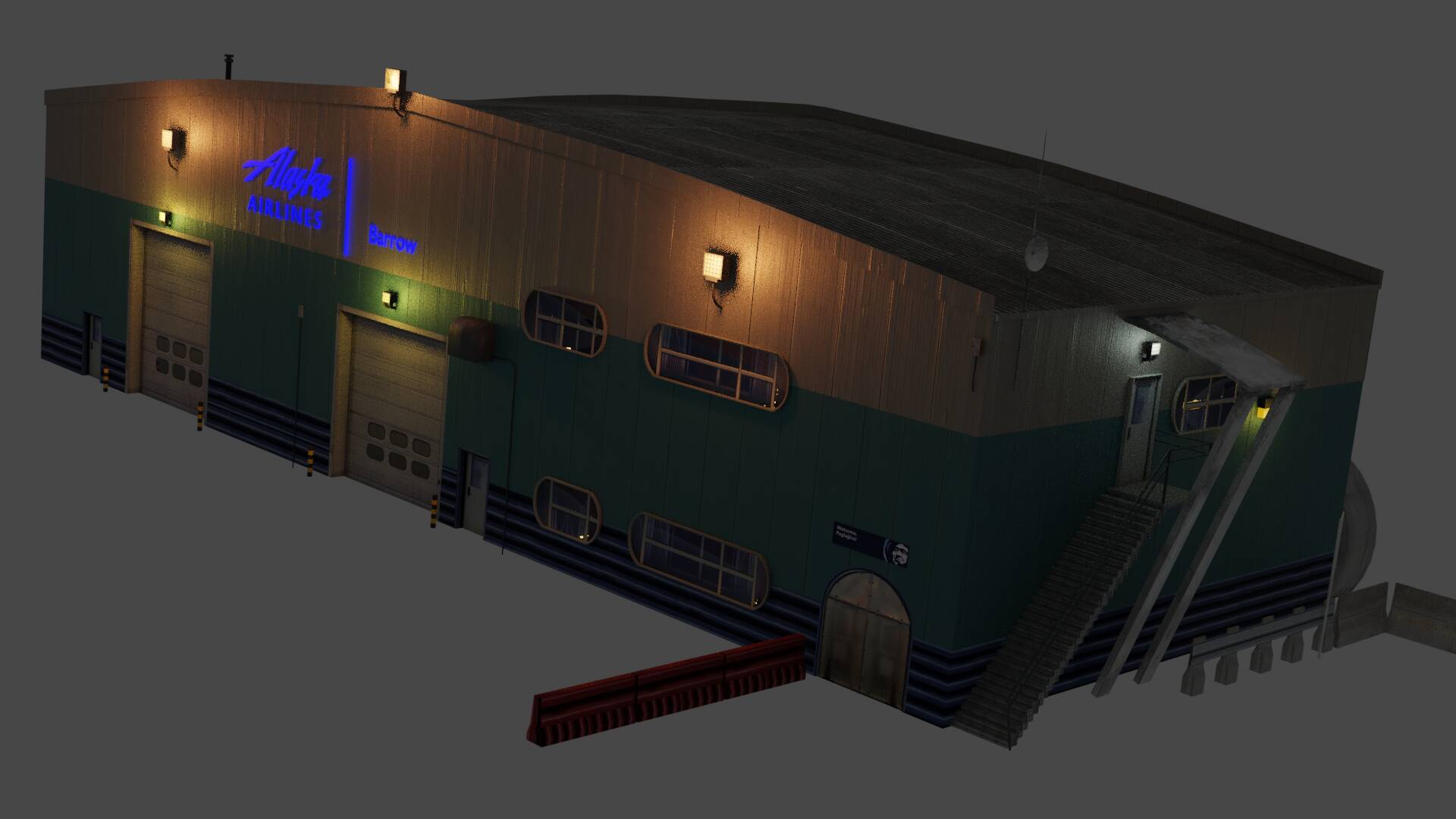
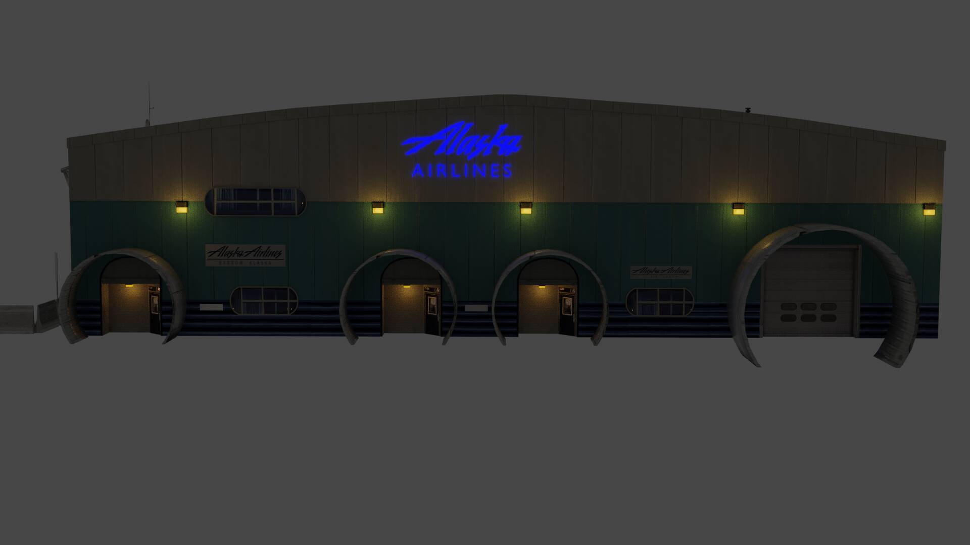
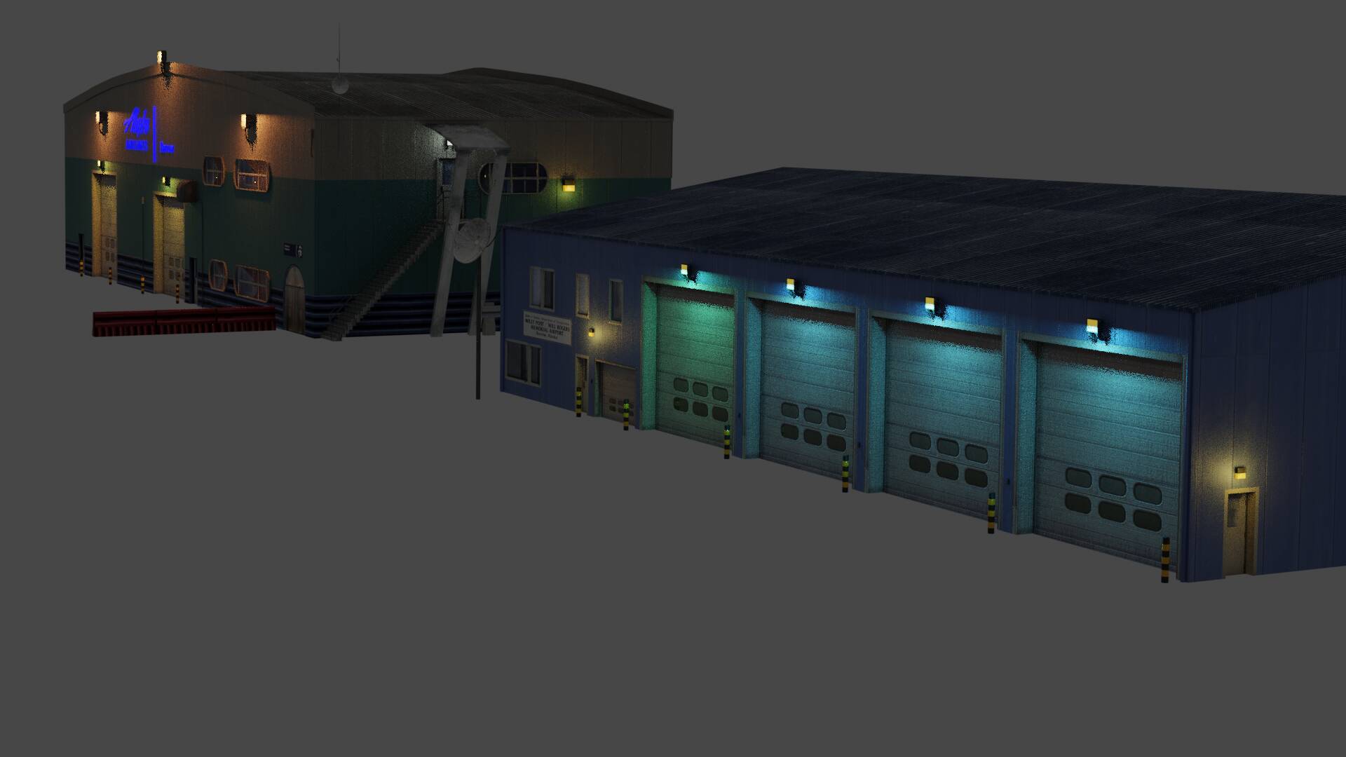
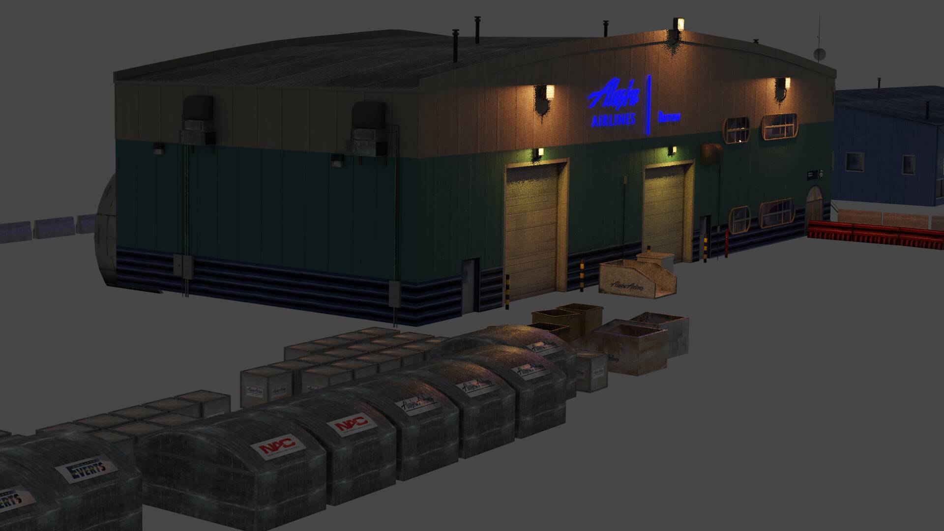
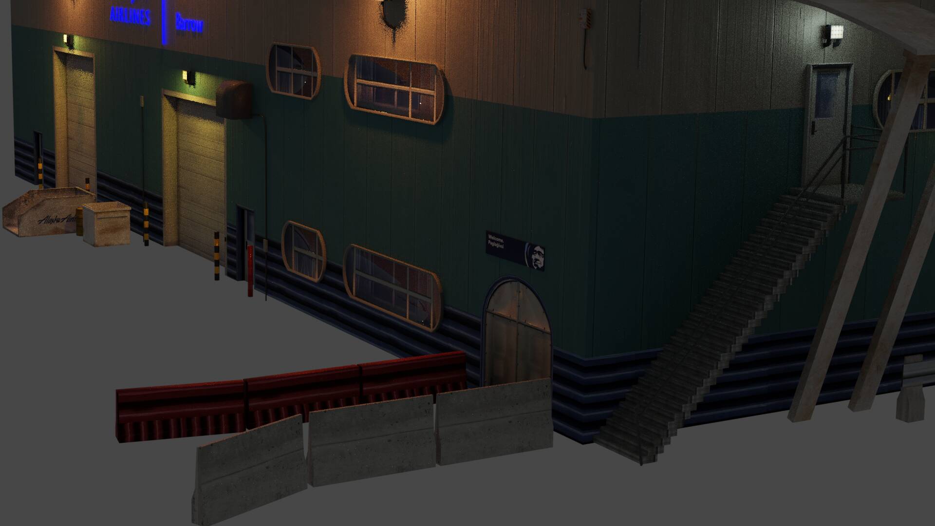
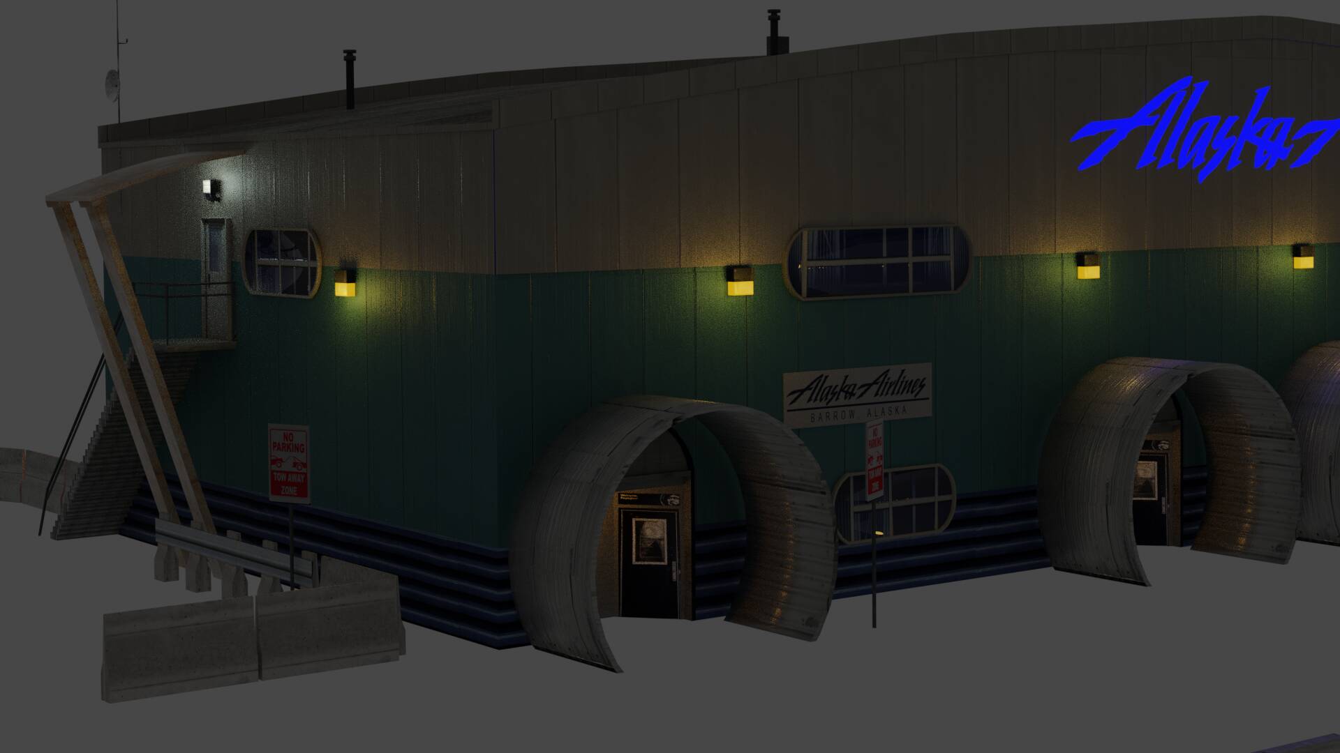
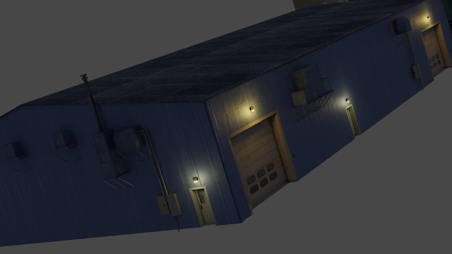
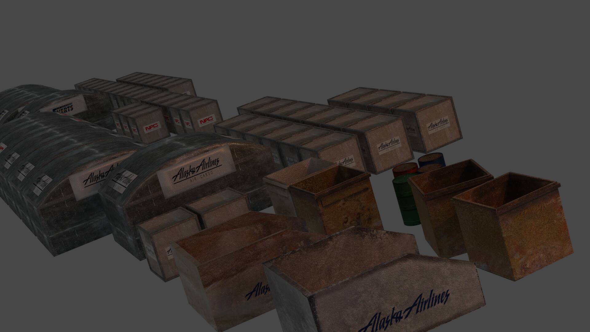
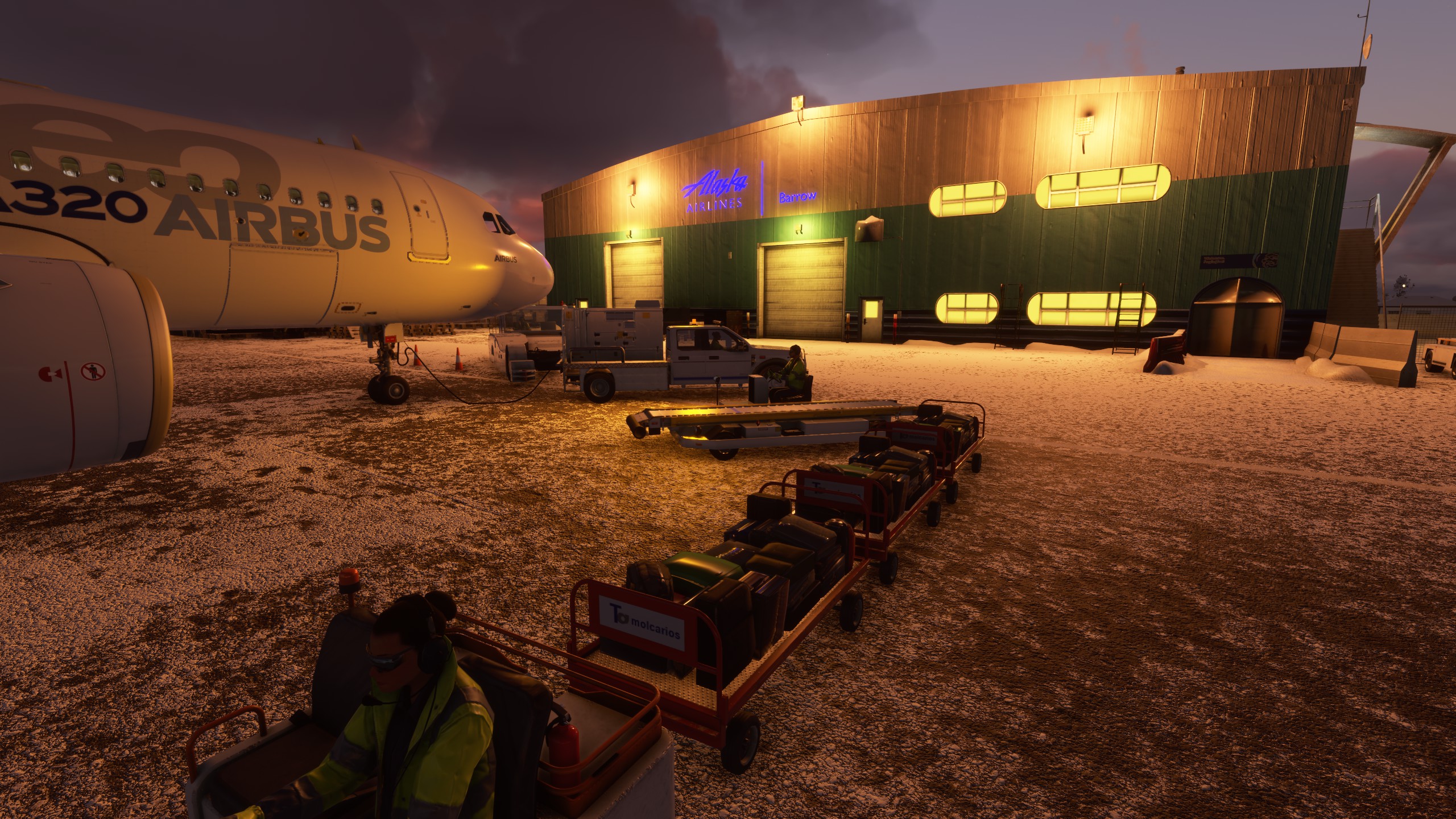
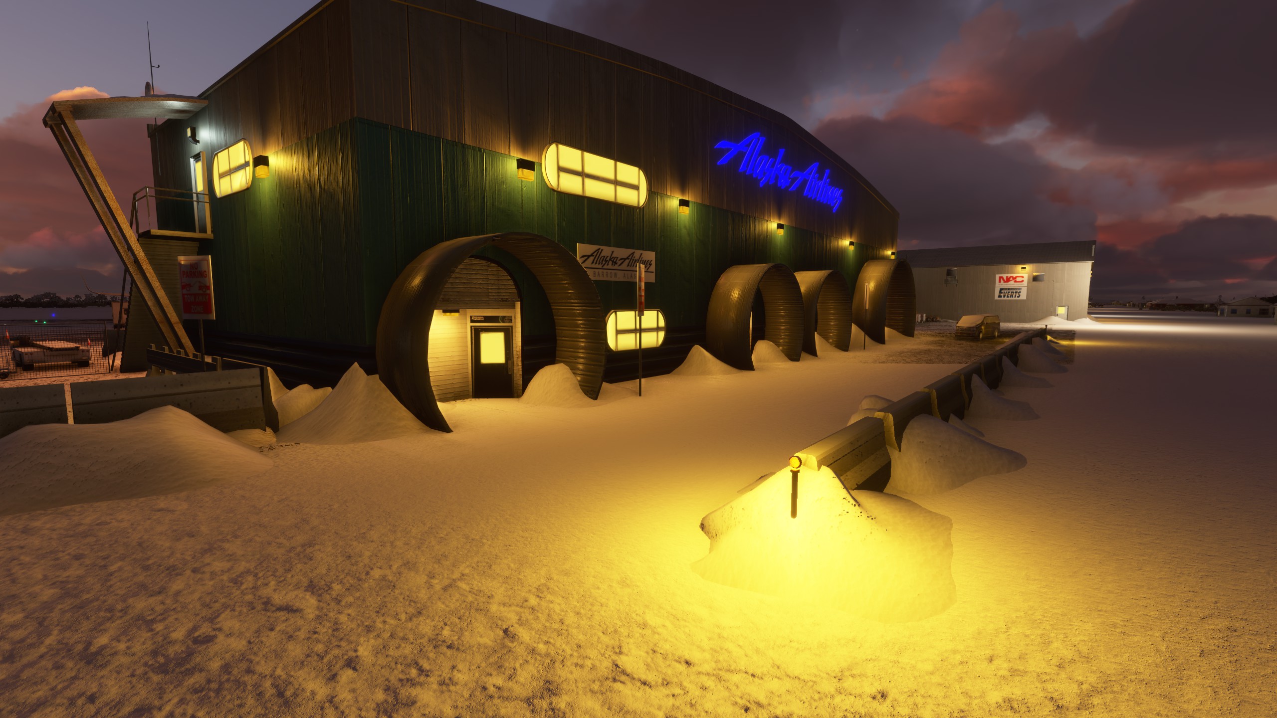
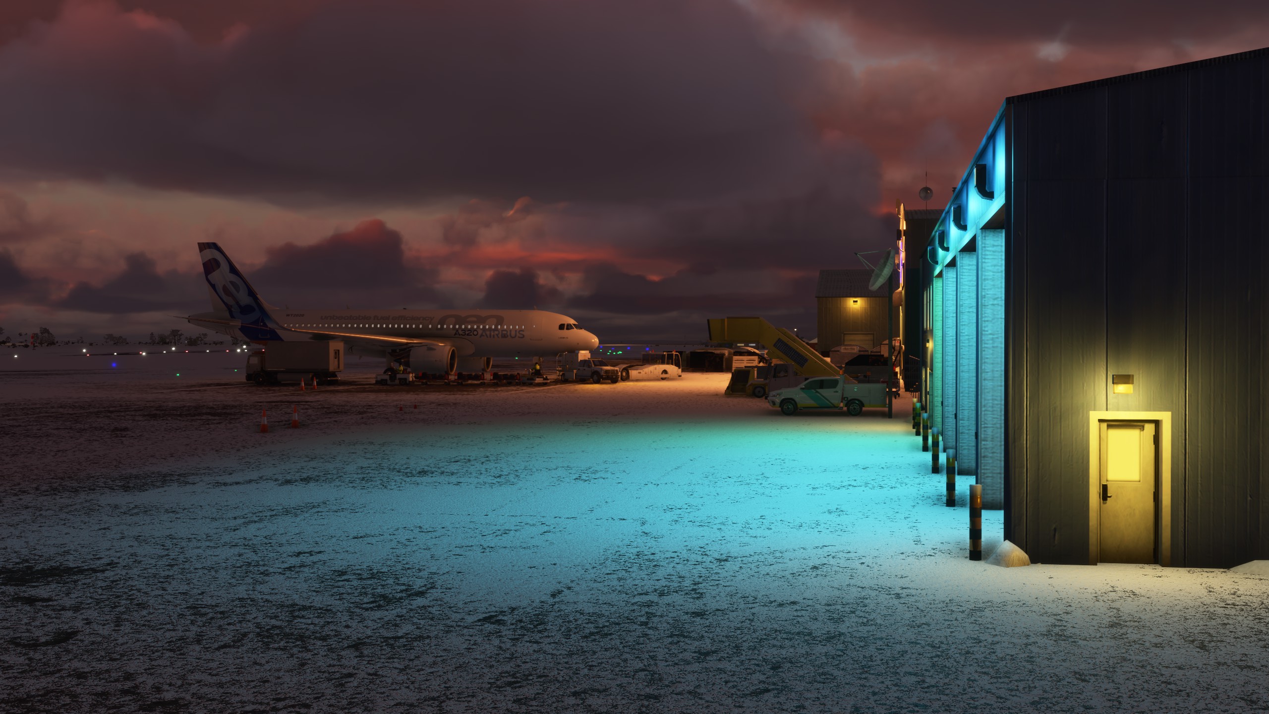
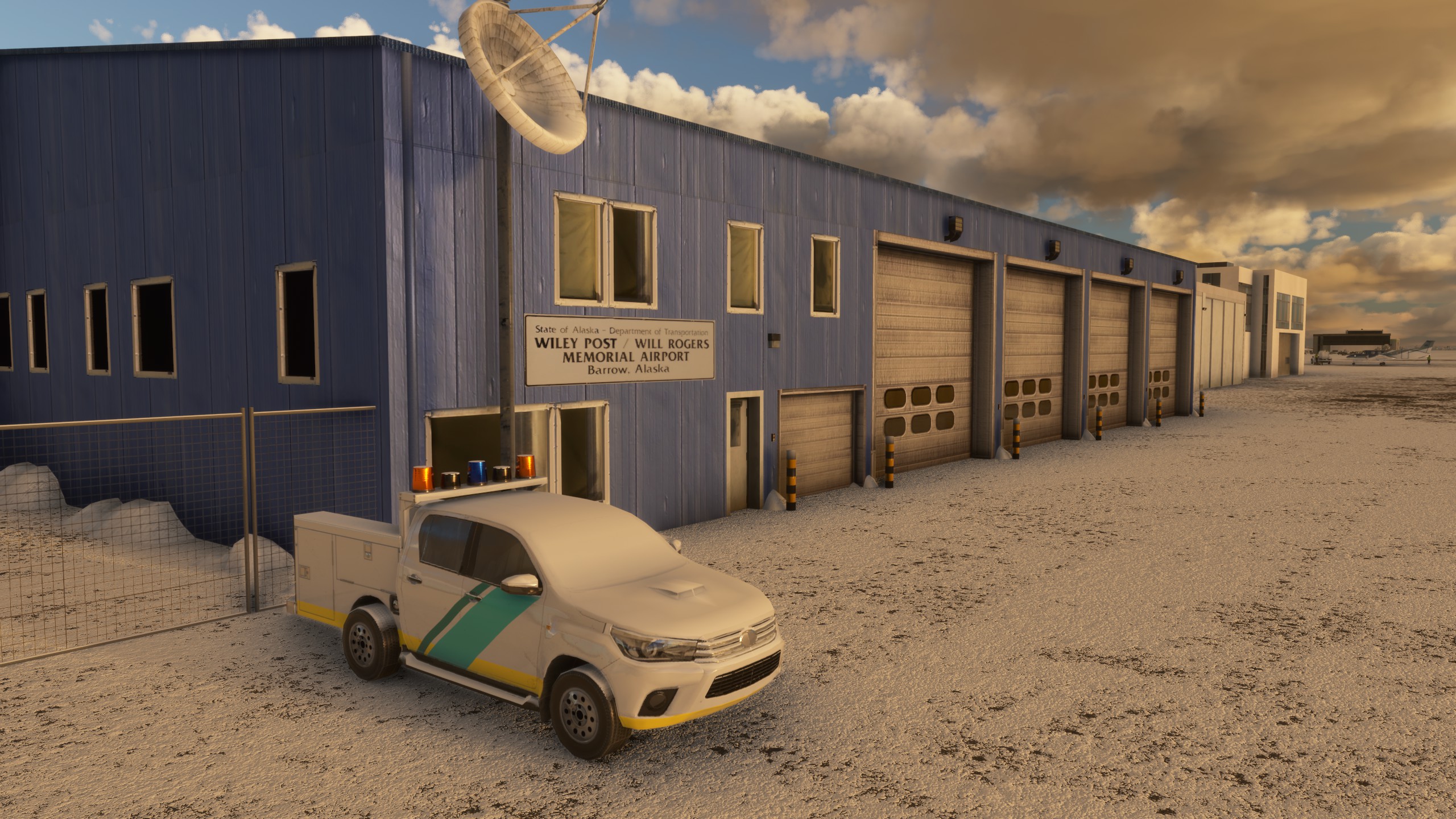
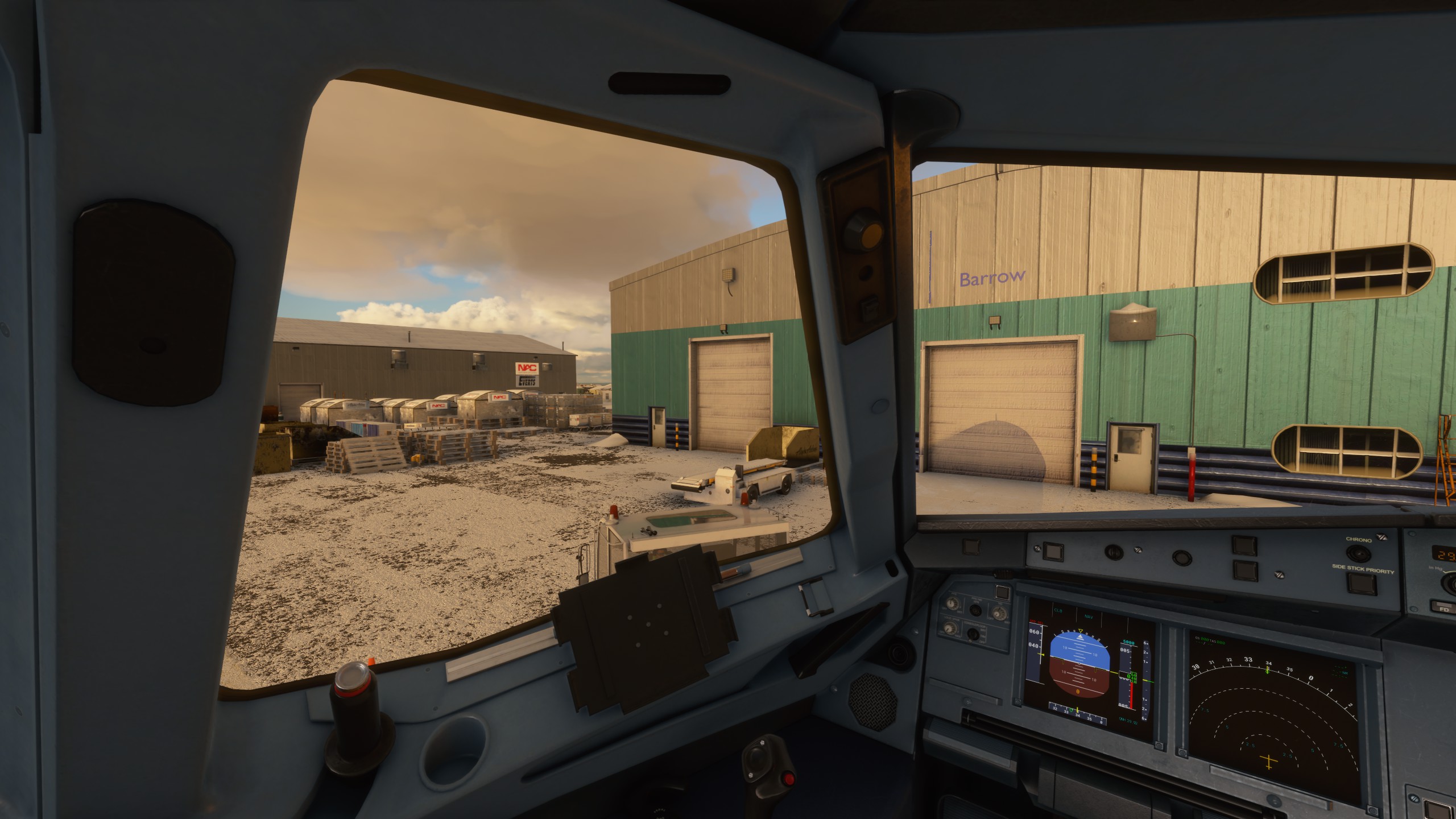
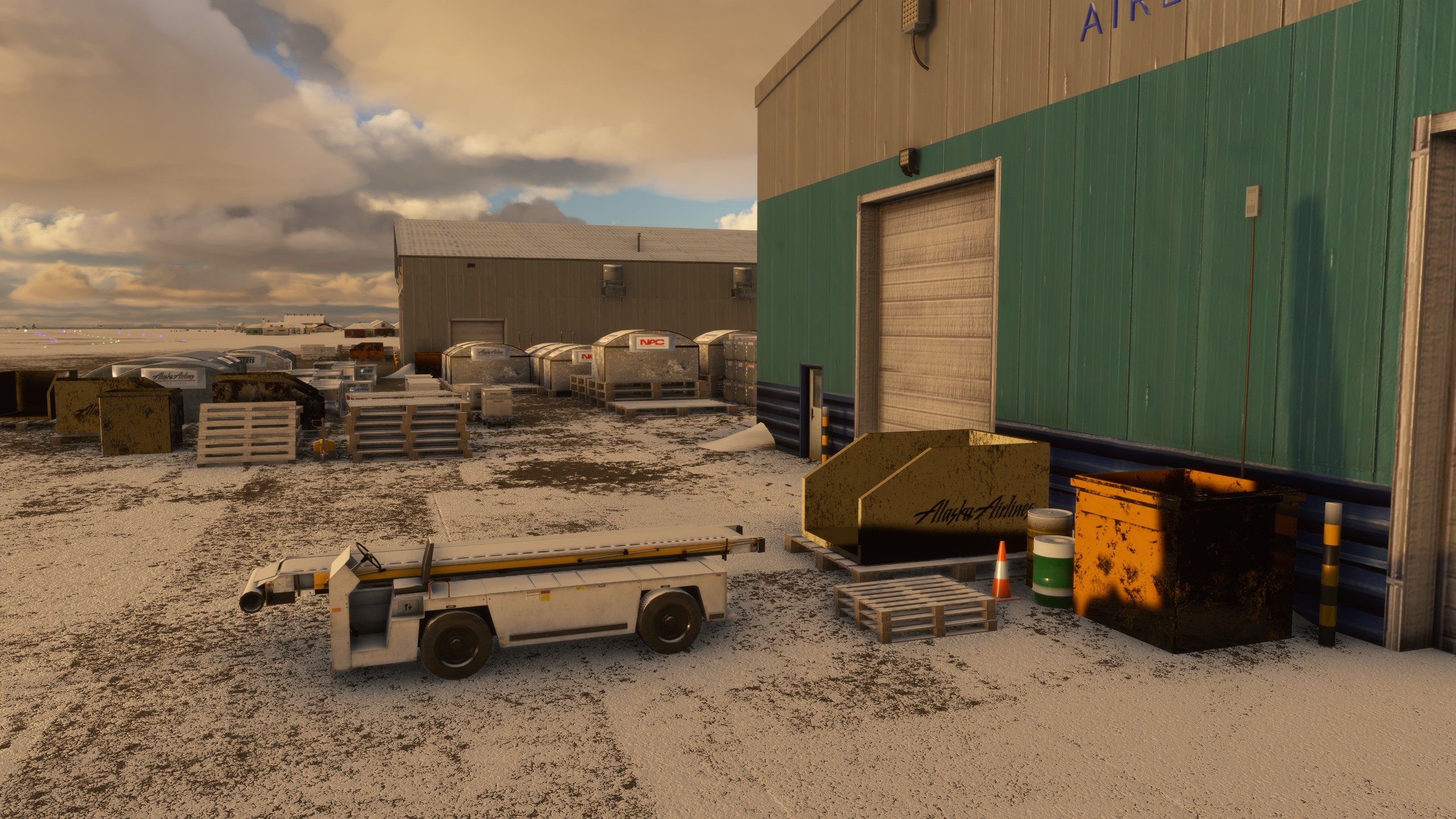
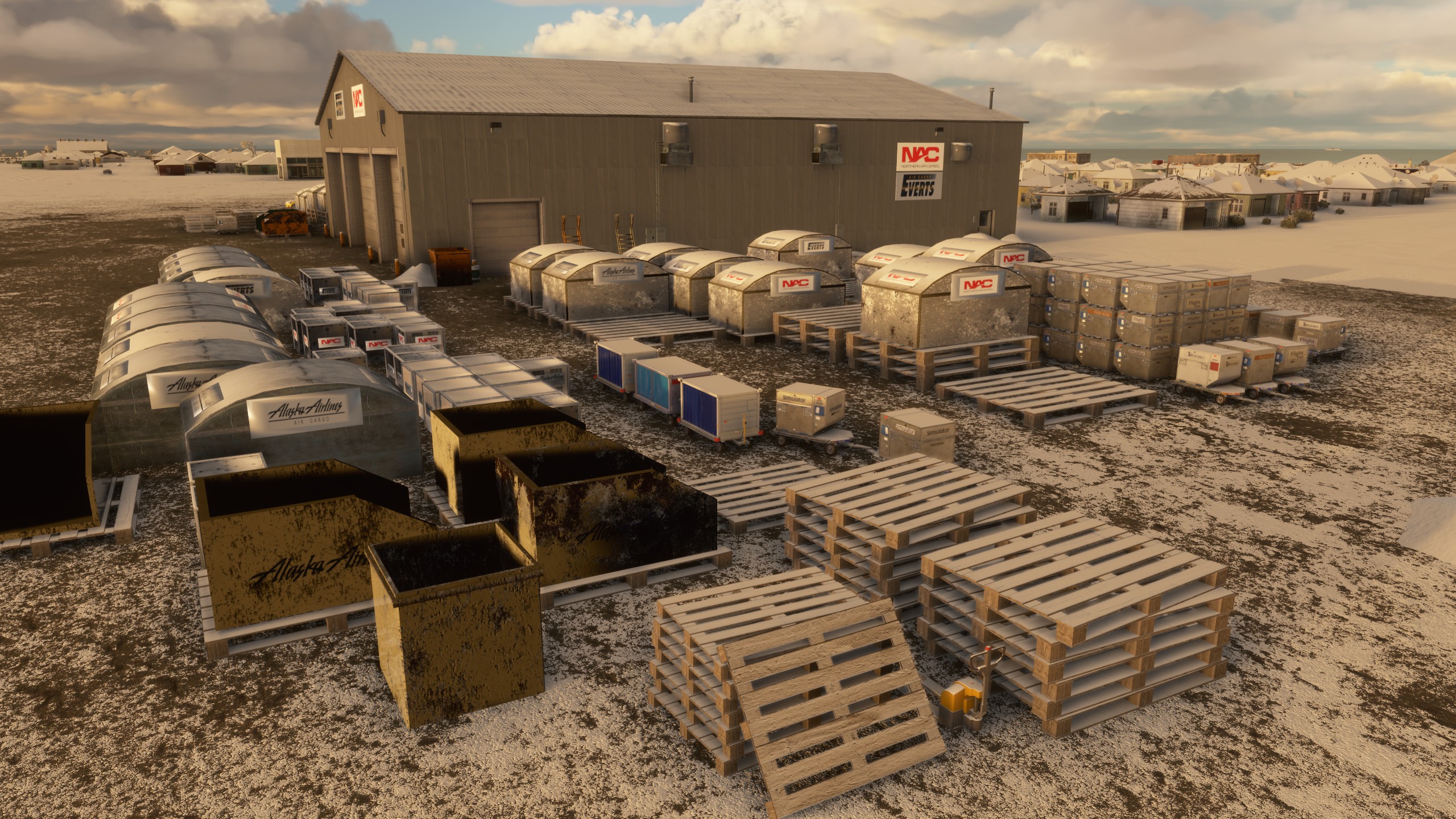
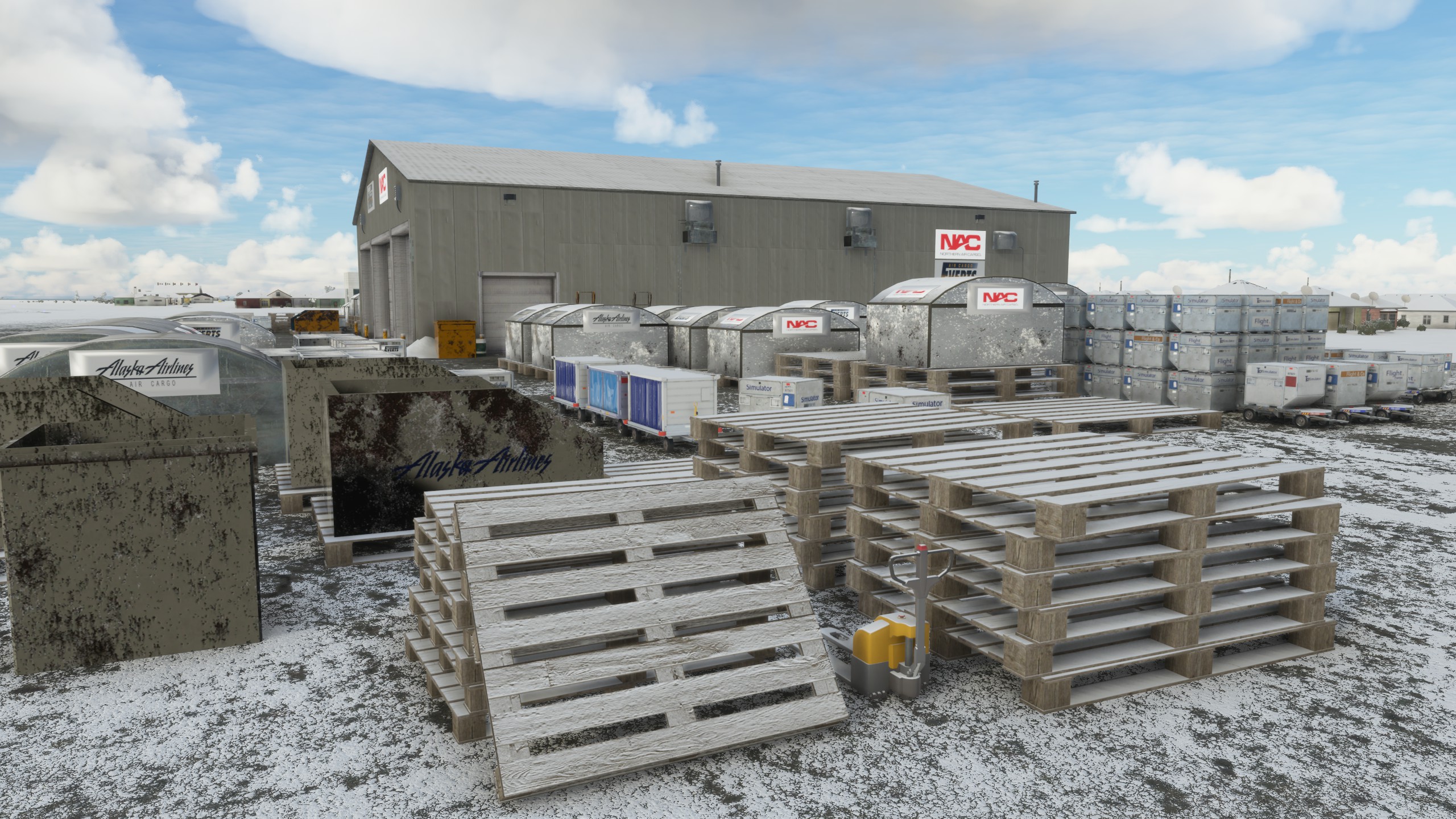
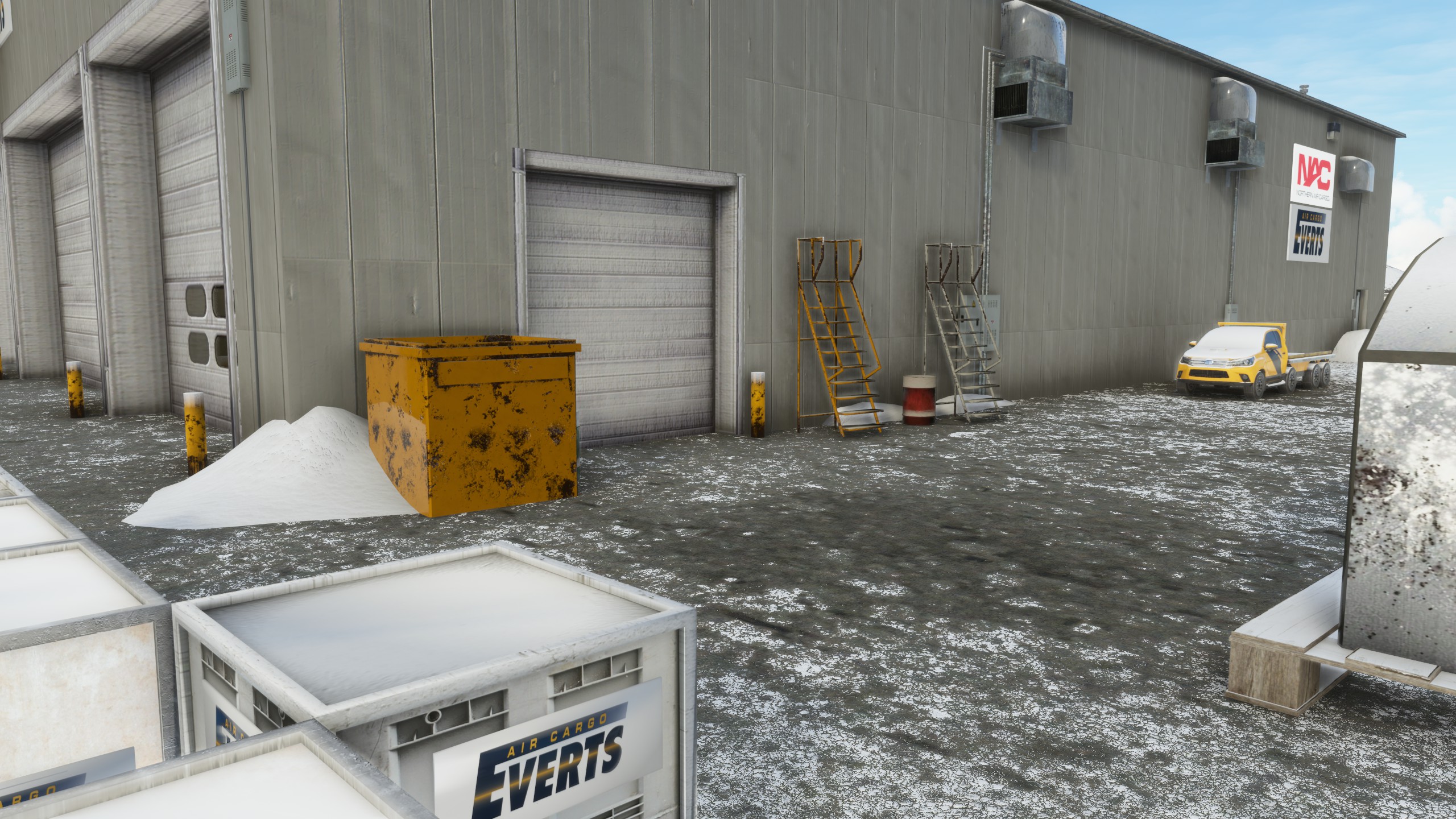
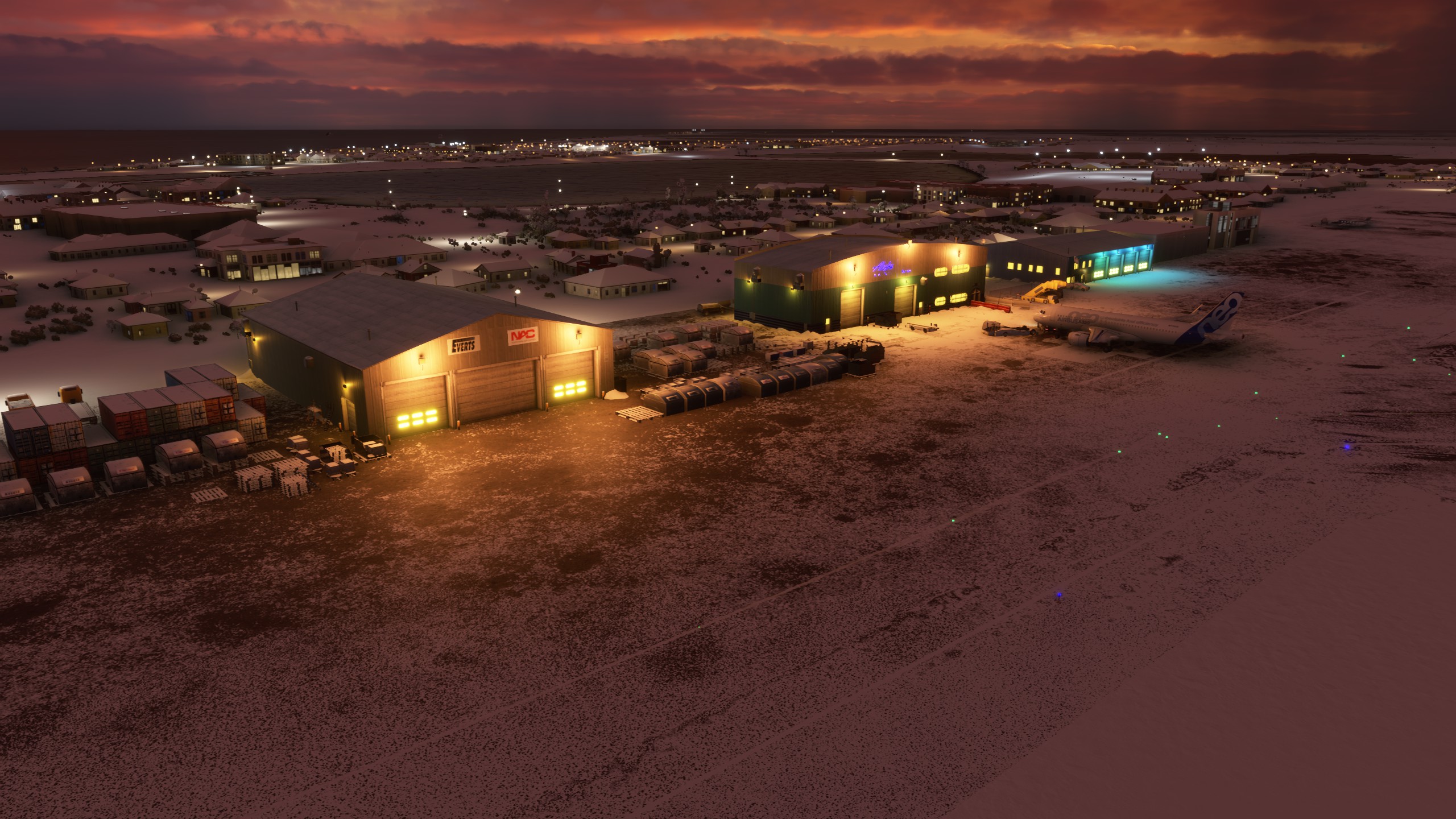
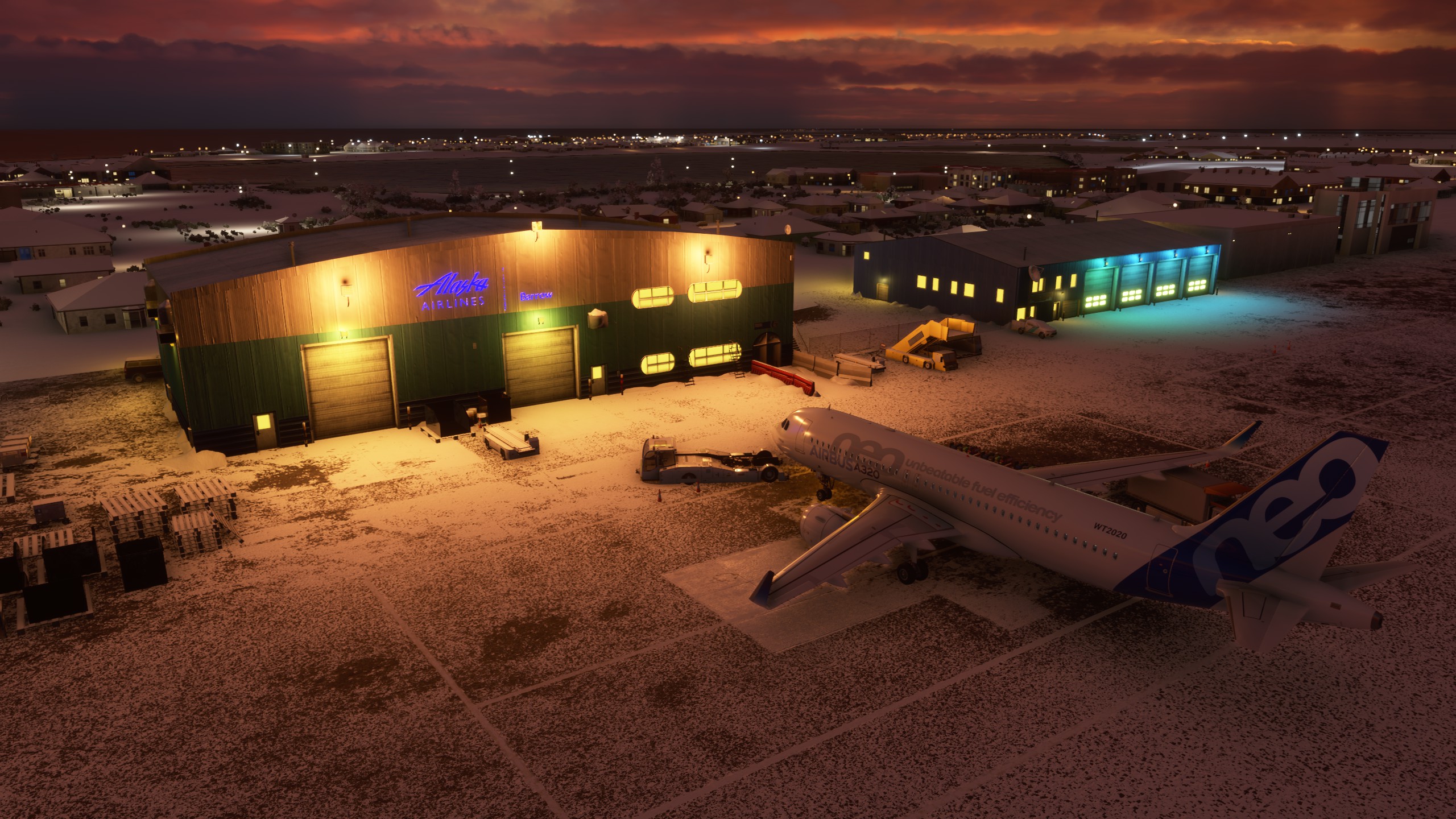
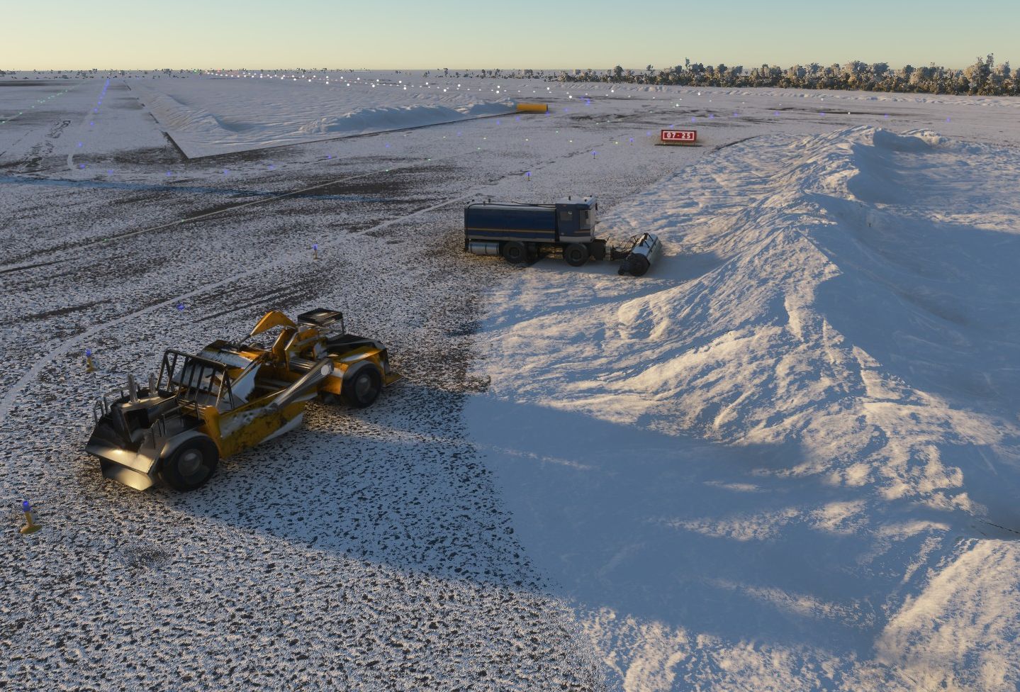
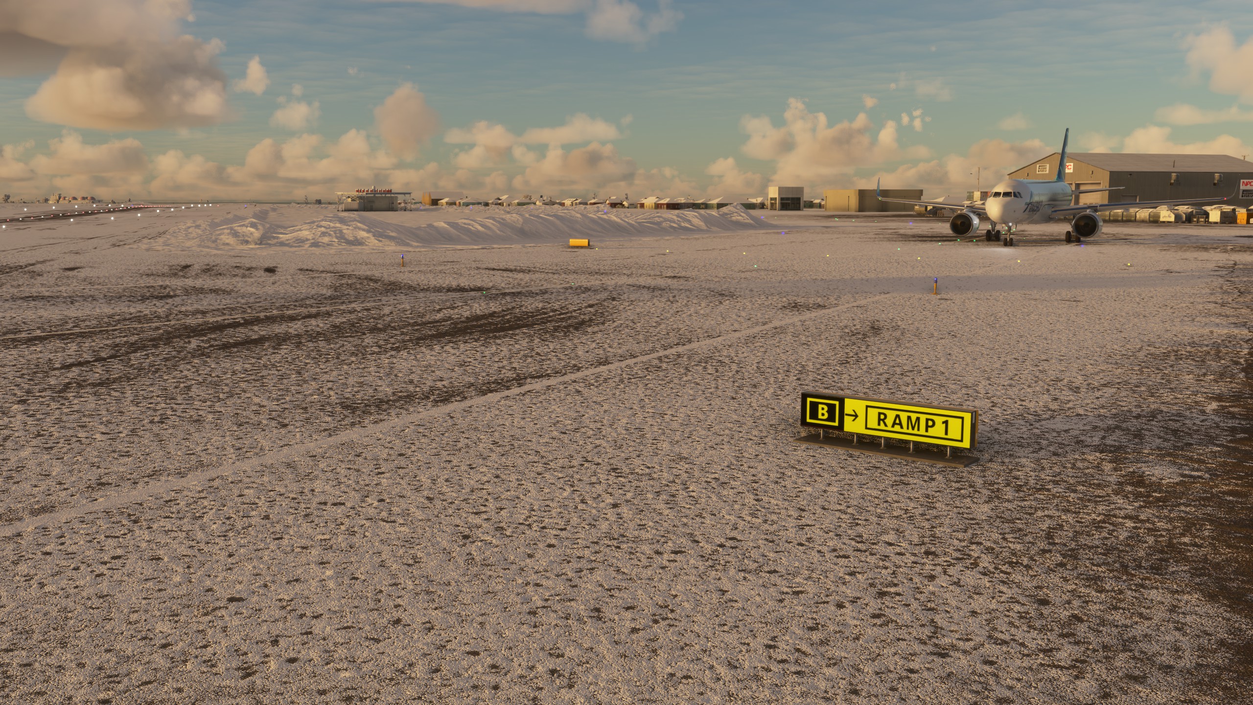
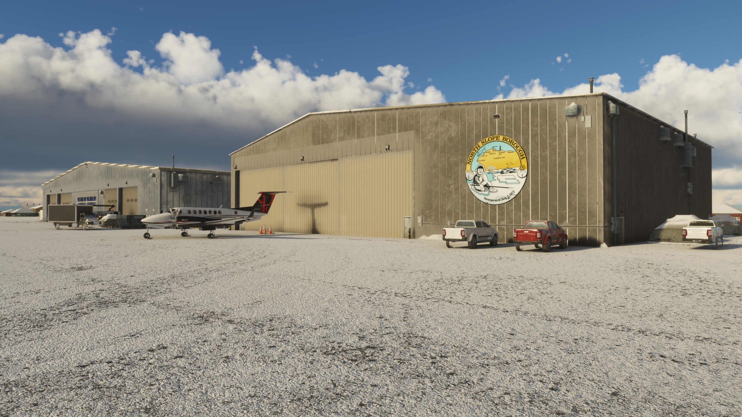
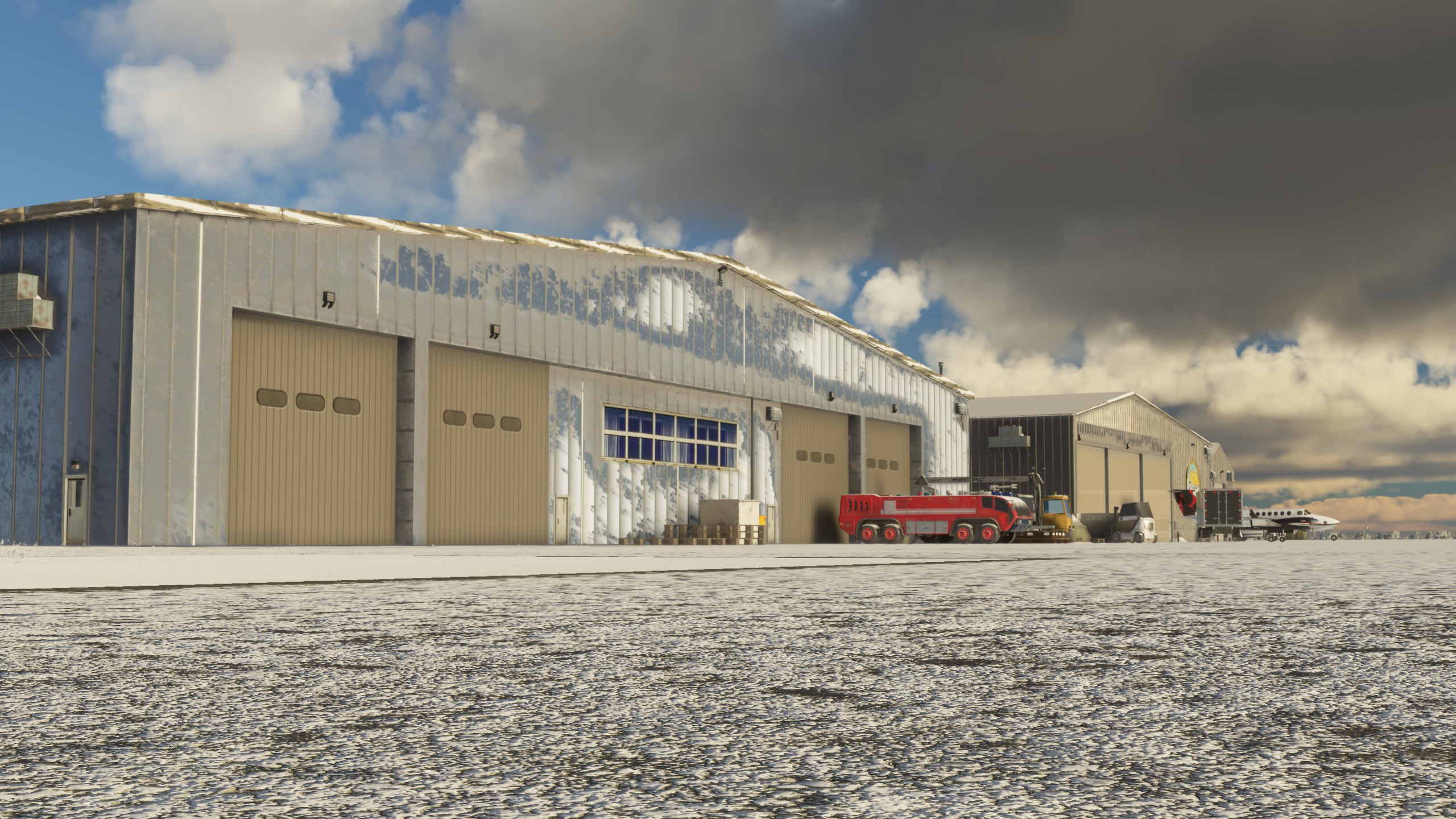
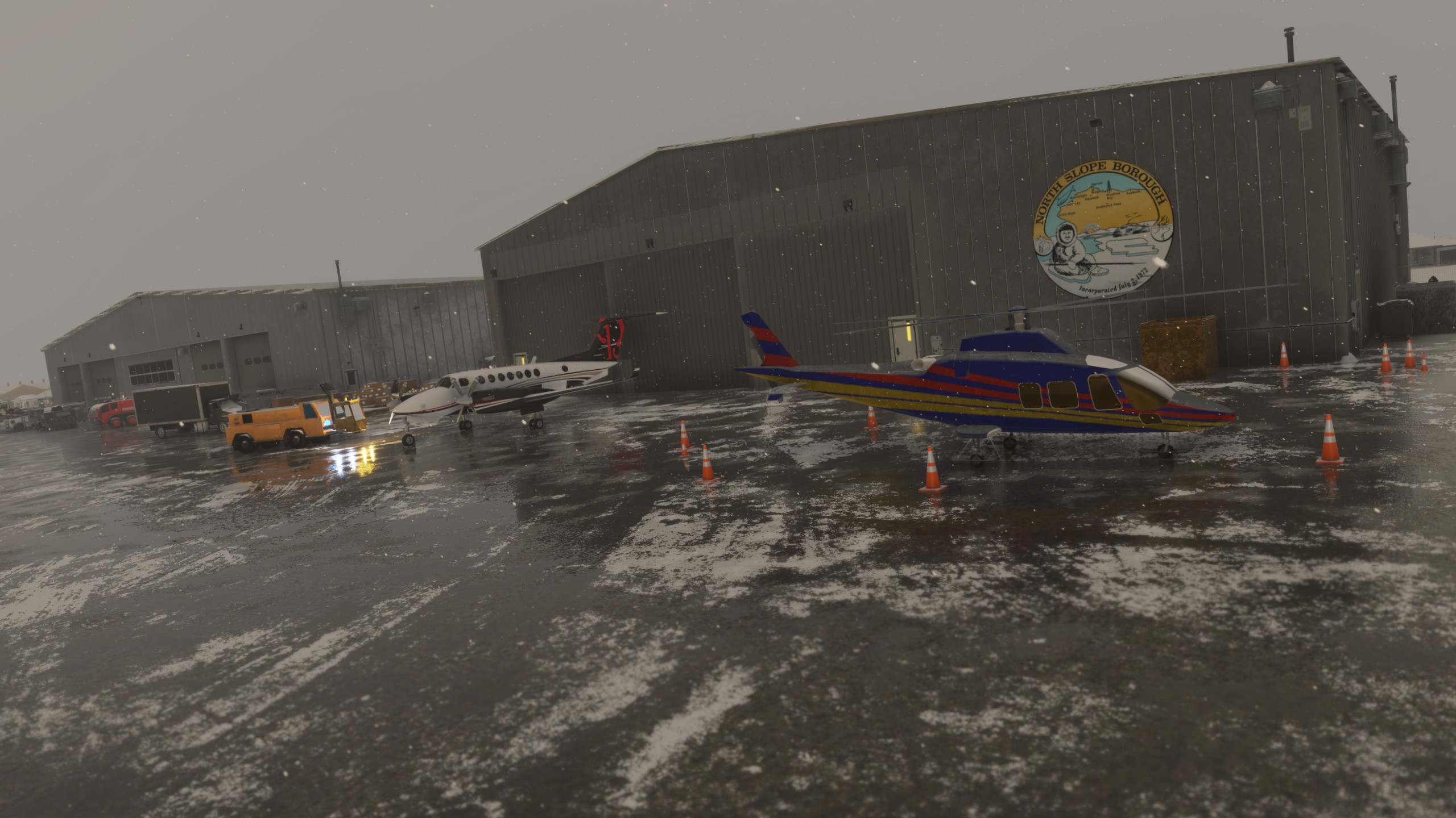
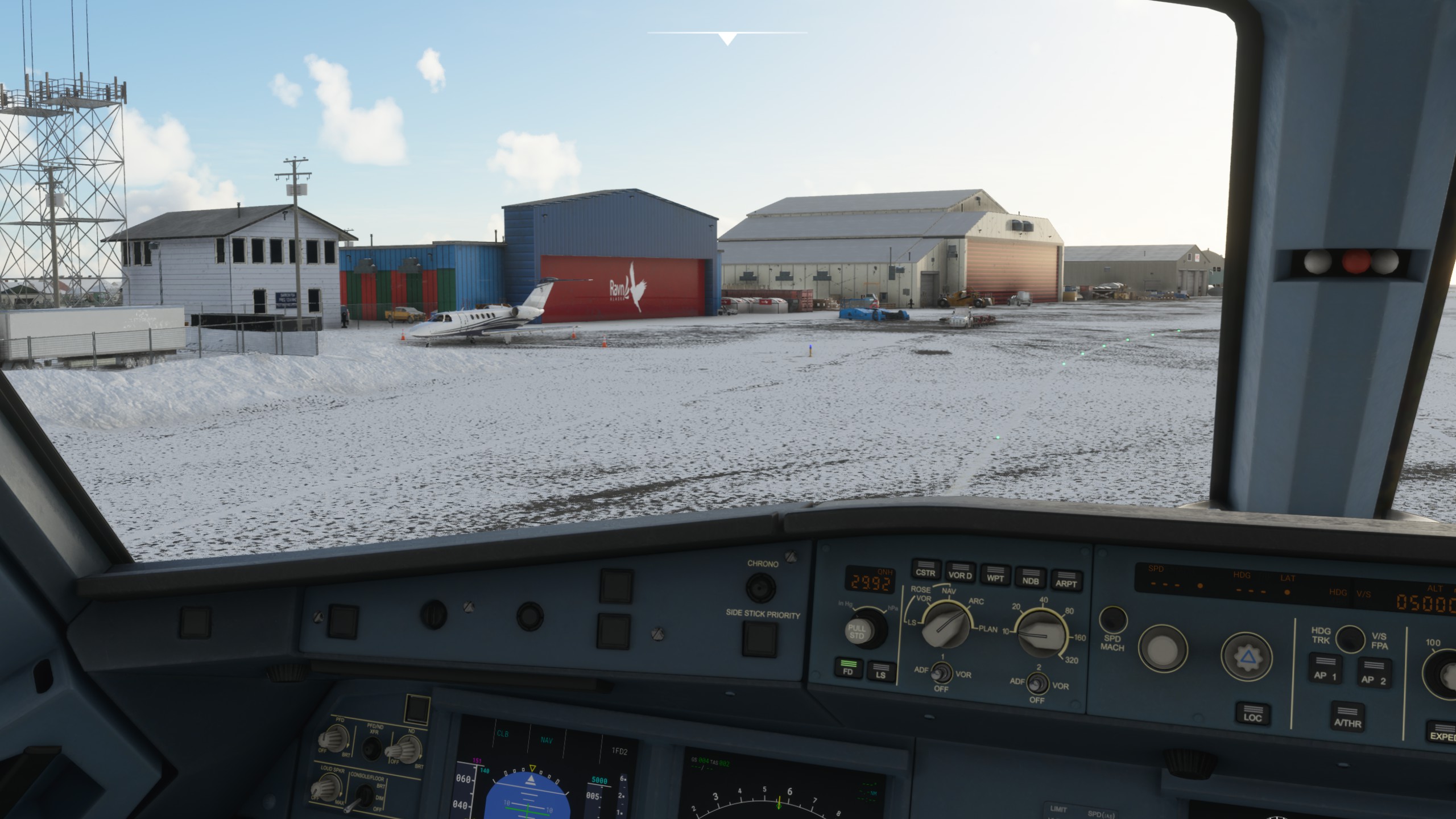
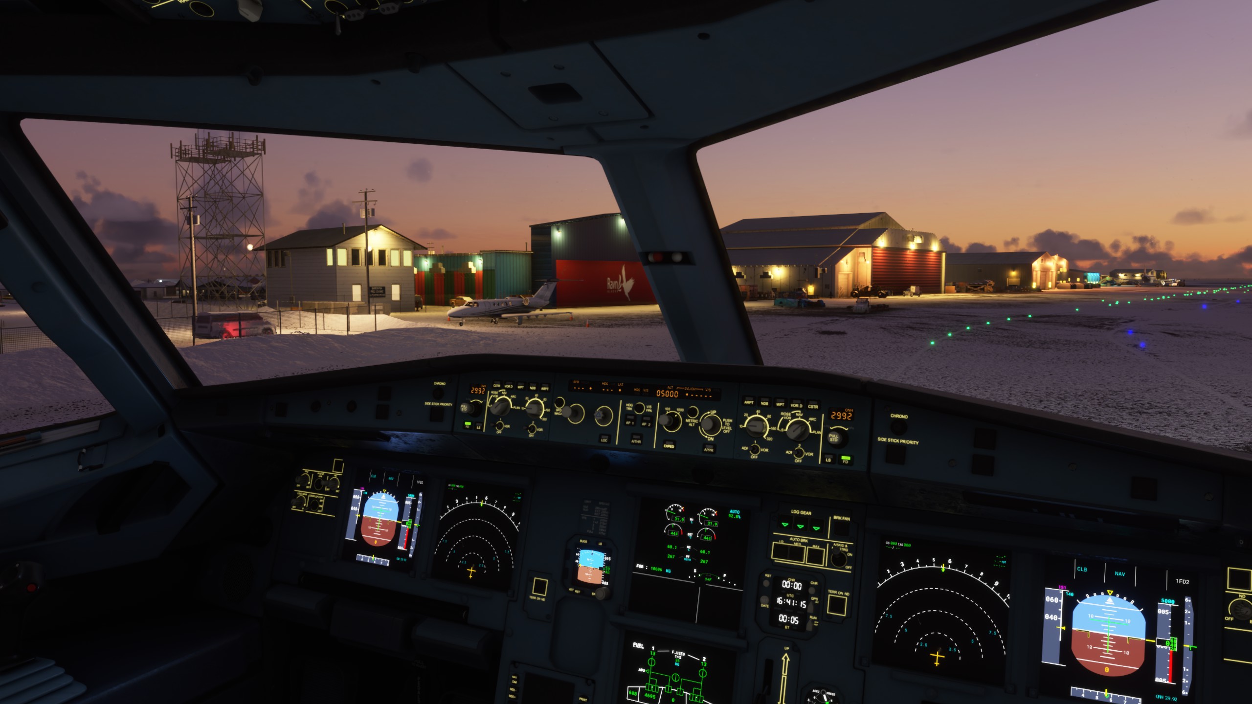
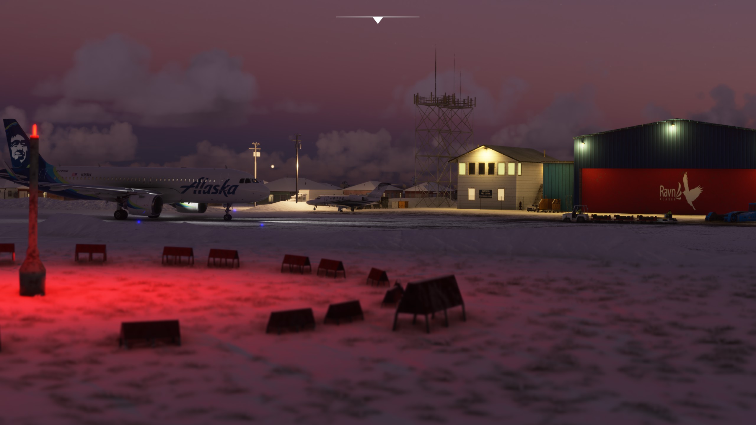
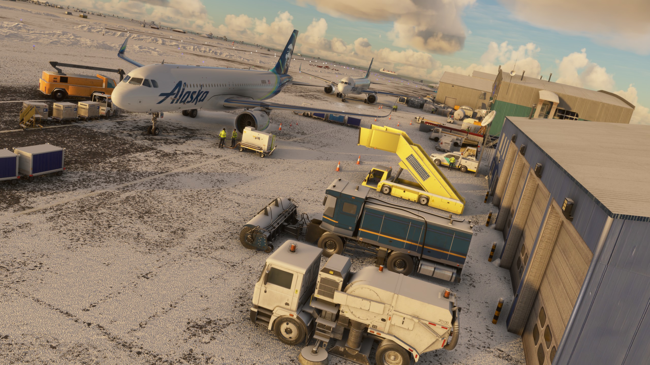
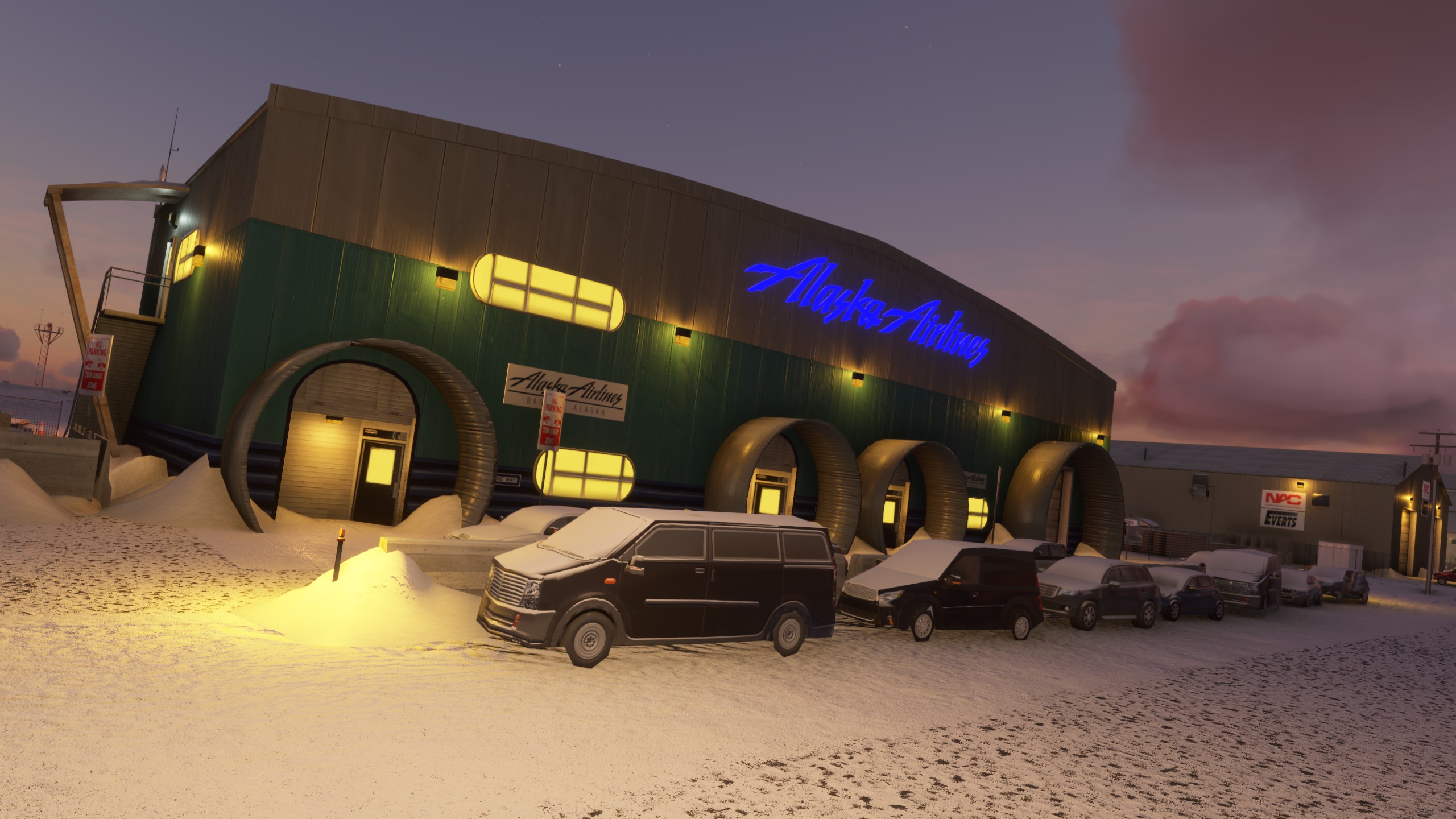
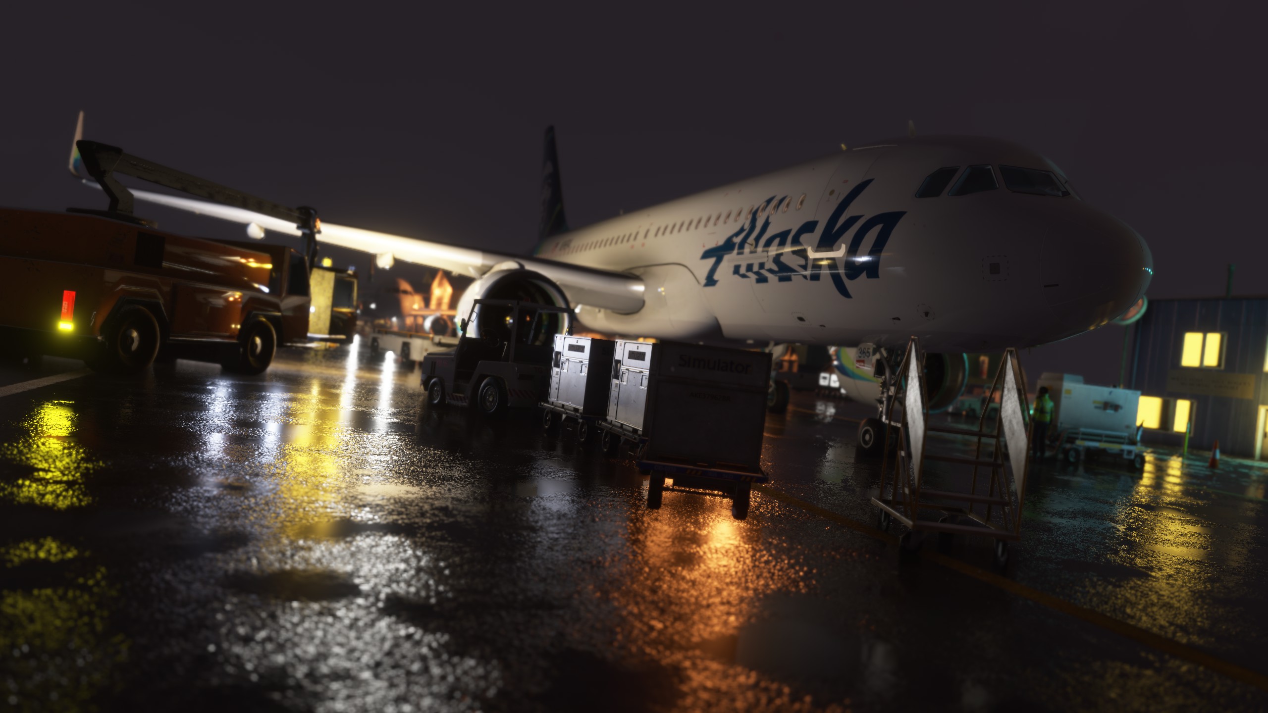
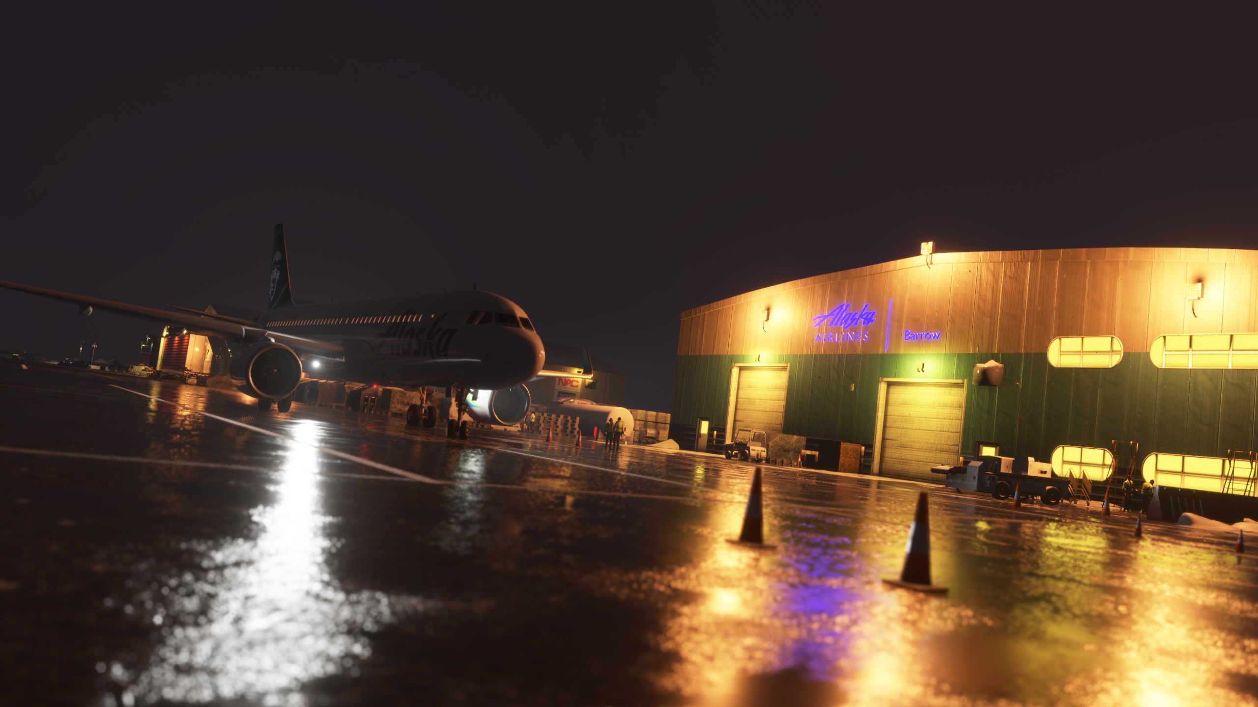
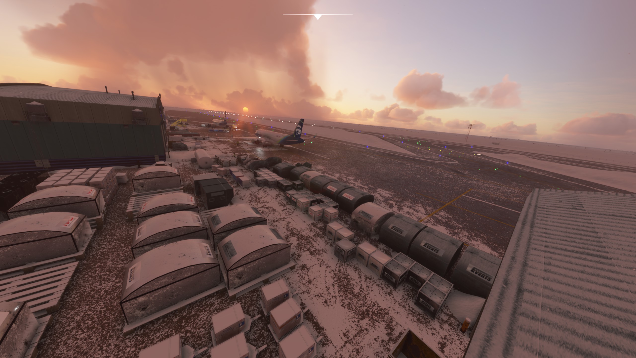
This are from the incoming 1.4

Just finish another 3 new building
then all the neighboring ones will follow, and the fences i hope

happy new year

1 Like

Are the snow drifts shown just at cold temperatures? I didn’t know you could do that if that is the case :slight_smile:

Just to let you know, I visited Barrow in late June and the temperature was 1°C. My tour guide showed up with shorts on. (“It’s warm out today,” he said. :grinning_face_with_smiling_eyes:)

dear friends of Barrow,

here are some updates from the front.

I have closed all the main streets of the city, because in case of snow, they were not visible. As you can see from the screenshots they are now.

original

redone

I have added a new static helicopter model in the colors of the North Slope Borough Search and Rescue.

I’m done putting the fences around the airport.

I finished the last major buildings include Ravn Alaska and Crew Briefing.

I have been very engrossed in this realization which is taking all my strength and love for this… world.

I hope it is appreciated.


This is an amazing scenery. Truly a work of art.
Just an fyi, the segmented circle as you show it needs to have a direction at the legs. This will tell the pilots flying overhead what direction the traffic pattern is for entry. See here

1 Like