Free day, so my plan after breakfast was firing up MSFS and for taking in more of Iceland from the air, as a greater part of getting to Vágar in the Faeroe Islands for the evening. I was planning a launching spot somewhere in the south.
I got an earlier than expected start which was nice because, as I found out later, the extra time was useful. It also became quite the adventure as I fully realized the scope of MSFS’ Live Weather and atmospheric modeling, which caused my first “Pan Pan” radio transmission to Reykjavík Control over Oceanic airspace!
Lined up for takeoff at Flúðir (BIFL) as I start my glacier tour, flying south:
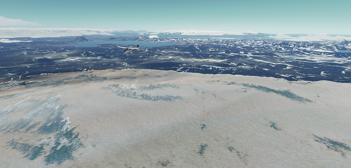
Surprisingly this glacier on the way toward Vatnajökull National Park, impressive as it is, doesn’t have a name. Can’t miss it though:
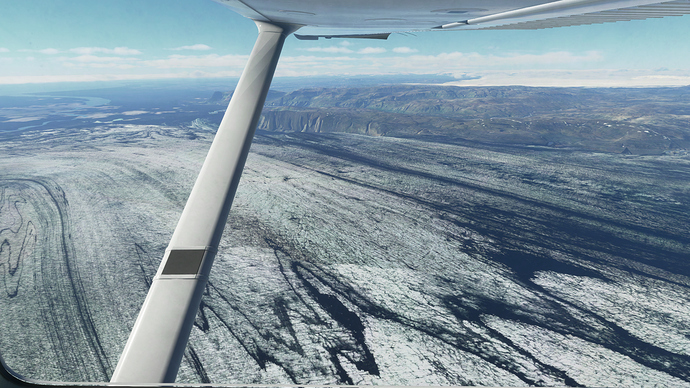
Entering Vatnajökull National Park, a 14,000 sq km glacier:
I’ve climbed up to 6,500 as the floor of the most parts Vatnajökull National Park are around 5,000 ft. Looks cold down there ![]() :
:
After this impressive tour of one large piece of ice, I plugged in Skaftafell (BISL) into the box. It’s yet another epic looking place. Good place for lunch, fuel stop and launching pad for the bigger hop.
The coast of south Iceland now in view. This part of the country is popular for it’s scenery (of course) but more so, consistently favorable weather during this time of year - perfect for hikers, and outdoor enthusiasts:
Skaftafell, coming into view:
Descending, and looking for the airport, nose north crisscrossing Iceland’s Route 1 (Golden Circle) highway, which should lead near the field. More of note is the 900 meter bridge over Skeiðarársandur, the name for this vast expanse of wasteland sands from glacier run-off extending many, many miles south:
Another find that airport. Like in a real world scenario, I reference the sectional charts, but having Bing Maps [Microsoft are you listening? ![]() ] is the best way to complete the picture of what I’m looking for. Find it once, found it forever.
] is the best way to complete the picture of what I’m looking for. Find it once, found it forever.
Skaftafell (BISL):
On the ground in BISL - I grab the nearest picnic table nearby and get to work planning out my leg to the famed Faroe Islands (Denmark) at Vagar field (EKVG). I soon found out that the in-game environment doesn’t have this crucial airport?! ![]() The British tactically occupied the Faroe Islands during WWII, built an airport to fight Nazi Germany, but it wasn’t worthy of finding a beloved spot in the game’s development timeline?
The British tactically occupied the Faroe Islands during WWII, built an airport to fight Nazi Germany, but it wasn’t worthy of finding a beloved spot in the game’s development timeline? ![]()
Also, flying a C172 basic real time, a break every couple hours would be nice. I mean, on those 5 hour transcon flights in the airlines, we can use the bathroom whenever. 4.5 hours in a Cessna, well better bring that pilot shop thingamagig. Well, I am still curious what the none airport looks like.
I phoned the friendly folks at Reykjavik Control and they gave me my domestic, and oceanic clearance in one serving (since they control the airspace all the way).
I grabbed my lembas bread for the road, and off I went.
On my way again:
Leaving Iceland, the impressive Öræfajökull, an ice-covered volcano with a peak of 2,100 meters (6,900 ft) would keep steady watch as I move out over open waters:
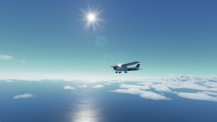
Level at 9,000’, now miles off the coast, I notice it’s starting to get cloudier…
Now the advantage of MSFS is that you can play around with different scenarios. I spent a ton of time in FSX just becoming a better airline pilot, and those modern jetliners can do anything you ask. Thunderstorms? Fly 200 miles around them. Fog? Pull up that HUD display, or let the autoland do it.. Holding? Type it in. Ice? Go right through it. That may be an oversimplification, but that’s the point. In a C172 basic, no such luxury exists.
Today, a reminder there are limitations for this airframe. It says it can go up to 14,000’ but it would take about a decade. It has pitot heat, and that’s great for the pitot. But other than that. Great airplane. Reliable. No ice protection.
Before you read further, there is a Youtube link below to my brand new channel at the end of this entire story line that gets into further detail about my experience today:
Real Airline Pilot Stunned by MSFS Live Weather!!
I begin to notice some buildups starting to form. But nothing huge. I’m looking like I’m still fairly in the clear. Then it built a little more. I decided to try a shallow climb up to 10,000. It looks like I’m going to clip these tops. I pull up a weather chart quick, and when I look back up, I see this ![]() !
!
Da heck? Well after comparing some more data (which I am going to make an entire post about on it’s own) - I was in a pickle. This is so true to life as well. Clip cloud tops when it’s between about -3 to -12 C, and you will get ice. A captain, I once flew with would like to say, “ice ice baby”. ![]()
Joking aside, the weather maps I was looking at said I was in a band of precip. It was -6 C at 9,000 ft and I am pressed to avoid it. Well, let’s have a look see because I am confident I could descend, as seasoned pilots do, to a foot above sea level, if I had to. Only water. Well, the waves can get rough. Let’s make that 500’ MSL if I needed. Not that I wanted to, but.
Now here I am popping in and out getting more ice each time. It was fun. I couldn’t stay and play for long, but let’s see what Asobo was up to.
After realizing that Asobo was really going to ice my airplane into oblivion, I had to get on VHF and give out a “Pan Pan, Pan Pan, Reyjavik Control, N128YP on G3 passing 14 West is in moderate ice, descending now to 500’, will contact on HF frequency when able.”
Pulled back the power, pitched the nose over and hurry on down.
Finally beneath the layer, iced up as ever:
Definitely do not, I repeat do not want more of that stuff on the vertical stab:
Look at Asobo, go ![]() !! There is trace ice on the bulb of the anti-collision light. Holy cow!
!! There is trace ice on the bulb of the anti-collision light. Holy cow!
Now at my 500’ above the deck goals, the ice slowly is melting off. I’m plus 6 C, looking good. Now to figure out my fuel, given the fact I can only probably get back to 3,000’ after the ice melts off, and wait til this all clears up.
Long story short, real life weather images said it would clear at 10 West. It’s a ways off, but not too far off - will it clear? Will Asobo’s magic work again. Will the real world, actual satellite imagery match?
Getting closer to 10 West. Seems to be breaking up?! I can spot the sun. I’m going to trust Asobo. I’m climbing back up to 9,000.
Oh my. Really? It looks like it truly is clearing out. Will it clear?
Well everyone. Nearing 10 West, I could see the sun, I could see everything. I just flew through an actual system replicated down to the detail of when it would clear. This is amazing and oozes potential. Wow!
As I approach the Faroe Islands, time to wrap up the rest of this post as expeditiously as possible. With a comic twist at the end.
Approaching the Faroe Islands, the gateway to Norway and Scotland for this little guy:
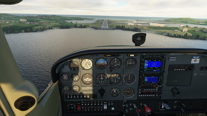
The historic Vagar airport: ![]()
This is not place to stay. An interesting take-off down a hilly road/ taxiway? Yep, flaps 10, short field. Fingers crossed. Being ahead of schedule, I’m going to fly another two plus hours. I’m headed to the Northern Isles of Scotland, where there is decent weather, and an actual airport. Sumburgh, UK (EGPB).
Back over the water, back in contact with Reykjavik Control. My hand off to Scottish Control will come down the road. Fond farewell, fellas:
Lonely Foula Island, but my first official sighting of UK territory. ATIS is reporting good visibility but some strong winds at the destination, however right down the runway.
On the final for LOC Rwy 9.
I think the visual approach path indicators may not be working just quite right. This 4 hour, 30 minute trek is almost over. Looking forward to drinking some of that stuff they put in the coffee around these parts ![]() .
.
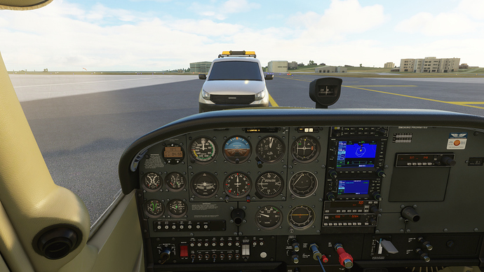
I land. I clear the taxiway. After clearing the entirety of my airplane of the boundary, I stop and contract ground get my taxi instructions. As I am about to move ahead, a vehicle pulls onto the taxi way and moves toward me, slowly. It get’s to my nose, where I cannot move further and stops. Am I being searched, or detained? Questions must be about going to 500’ over the ocean? Or did I correctly put out my campfire way back in Flúðir (BIFL)? Am I an RDR2 bounty for these guys?? ![]()
“Your not going anywhere, buddy. Stay right there!”
Well a few Brexit jokes later, they let me go. I slewed out of their way, so to speak. Parked. These rampers are always hard at work. They are always on time, everywhere!
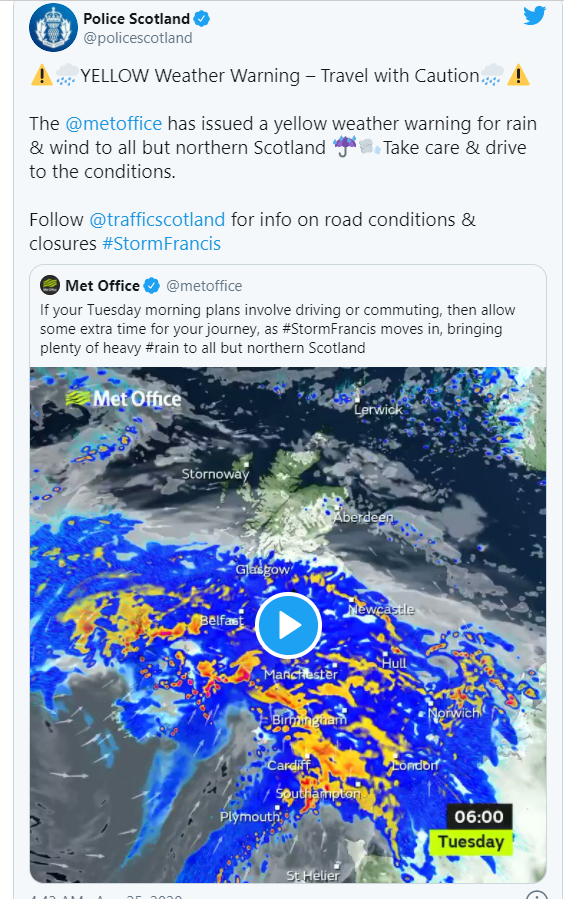
I guess I have to find some accommodation, or a car hire. I am wondering if this will be a couple day stay? Storm Francis is absolutely terrorizing the greater UK right now. I may be Norway bound tomorrow after all.
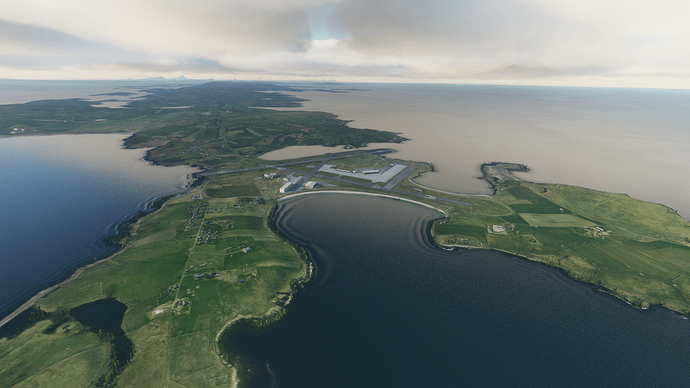
A view from above.
Sumburgh Airport (EGPB), the Shetland Islands, UK.
I explain in further detail the weather situation below. A must see for anyone curious about MSFS Live Weather as it relates to the real world pilot.


