The route for today, as seen from Foreflight with AIG Traffic:

The WB-SIM C172 parked at Kern Valley (L05) early in the morning. It’s cold out there. I enjoyed a hot coffee at the Kern Valley Restaurant:

Let’s get into the sun to warm up:

Carefully getting down to runway 17:

Nice reminder on the taxiway. It’s around zero celsius and the density altitude is fine today.

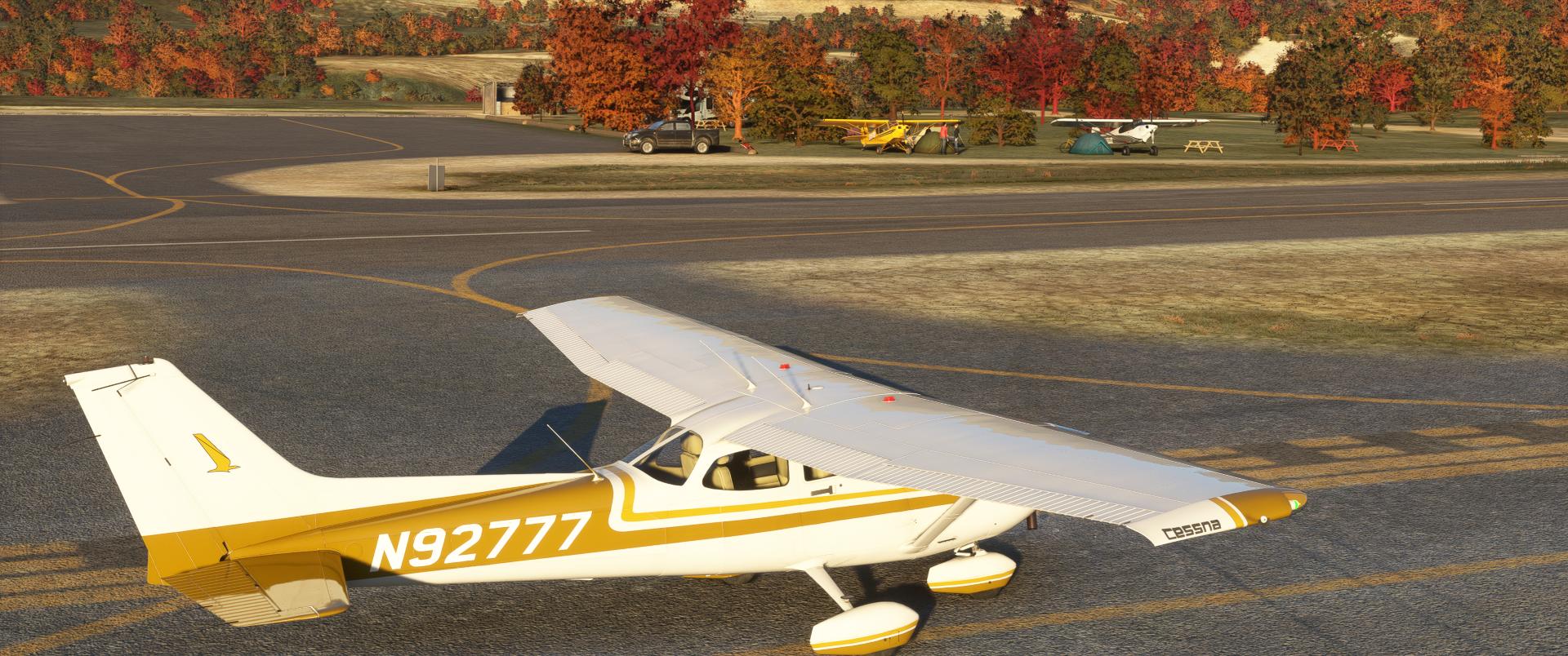
Hello the camper!
Holding point 17. Isabella Lake in the background. The autumn trees by REX Accuseason doesn’t work very well here:

Taking off and a last look at the main apron:

Climbing 9’500 ft heading south:


The autopilot is tracking the direct route into the GNS ![]()

It’s always spectacular to fly anywhere and having a satellite imagery to make the landscape always different. I can’t remember the time where they were generic ground pic ![]() :
:

Tehachapi pass that I use to take when going to Mojave from the Valley:

The Mojave airport is in the back of the pic in the desert:

Solar and wind farms:

Descending to Agua Dulce:
 :
:
Agua Dulce is just behind these hills:

Look at the windsock. Let’s see what is the runway in use:
 :
:
Turning final runway 4 and a look at Vasquez Rocks:

Short final Agua Dulce:

Runway vacated:

Let’s refuel. Oh, I should update the price ![]() :
:

Thanks for watching!