Hi everybody. My Tag Name is Juankeiko.
First of all thank the work done by Juergen Haible. Thanks to him and his efforts, virtual pilots have been able to enjoy for many years (as is my case) a Great Complement for Aerial Simulation.
Juergen Haible is the owner of this Software and he alone can be credited with the credit for his dedication. I am only a channel of his work and I am satisfied to share a program that, although due to its age, continues to work perfectly in 2020.
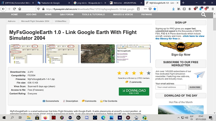
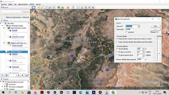
The program brings its executable .exe, configuration photos. Although the photos are made for old versions of Google Earth, the system is exactly the same for the latest version of Google Earth. It is easy to configure.
Important: the Software is free.
Also you can make .KML files with your flight plan and add it or them into Google Earth. Web Example http://onlineflightplanner.org/
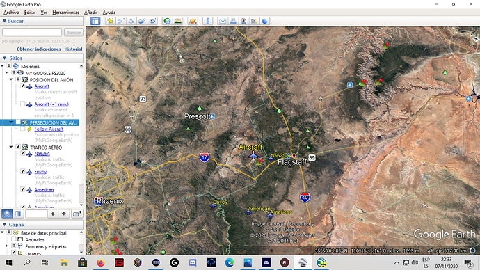
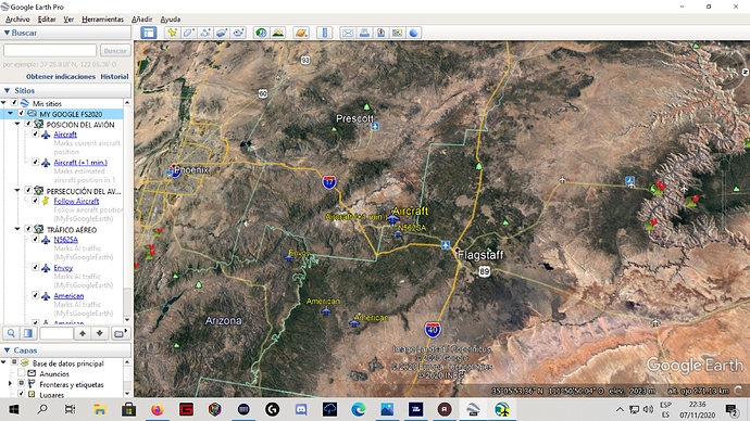
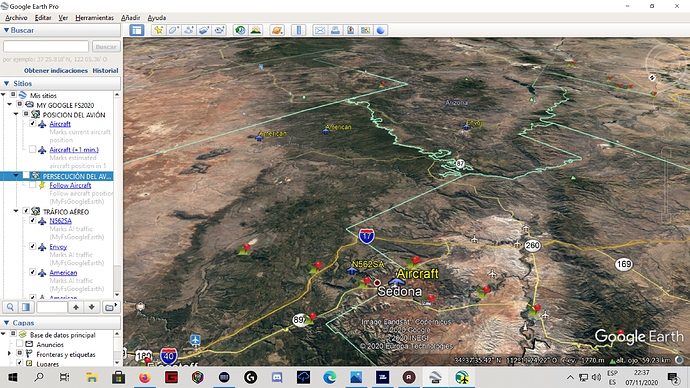
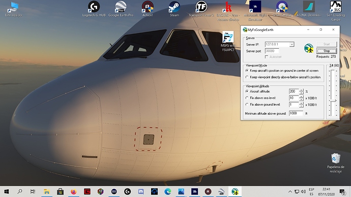
I add screenshots made in my simulator and on the same program.
Greetings and enjoy it Good flights
Juankeiko.
Link:
MyFsGoogleEarth 1.0 - Link Google Earth with Flight Simulator 2004 for FS2004
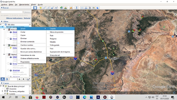
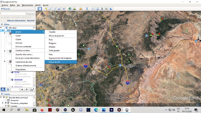
Create a New Folder
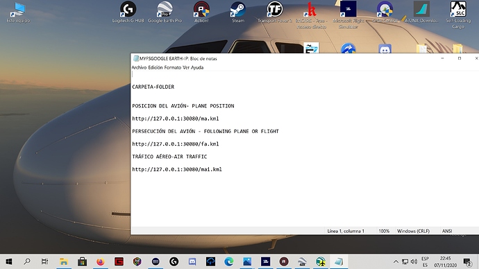
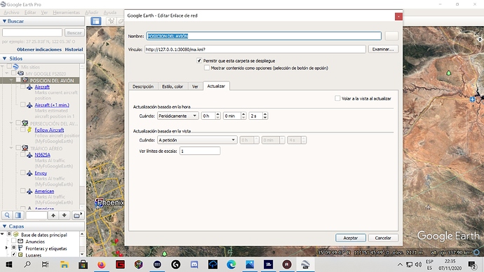
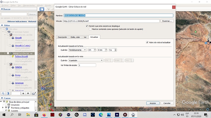
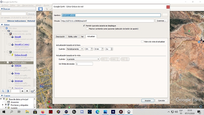
Create network link (Must Have 3 with diferent Name and I.P. Address.
Plane Position
Follow the Plane
Follow The Plane
Airline Traffic( will not appear your name, just company name)
Start the Software.FSUIPC must be active in the SIm
Your plane appear just like Aircraft. You can see Traffic Airlines too.
At the end,when you finish your flight, closed the programm.
All the best and enjoy .
Have a good flight . Juankeiko ![]()
![]()
