Hello!
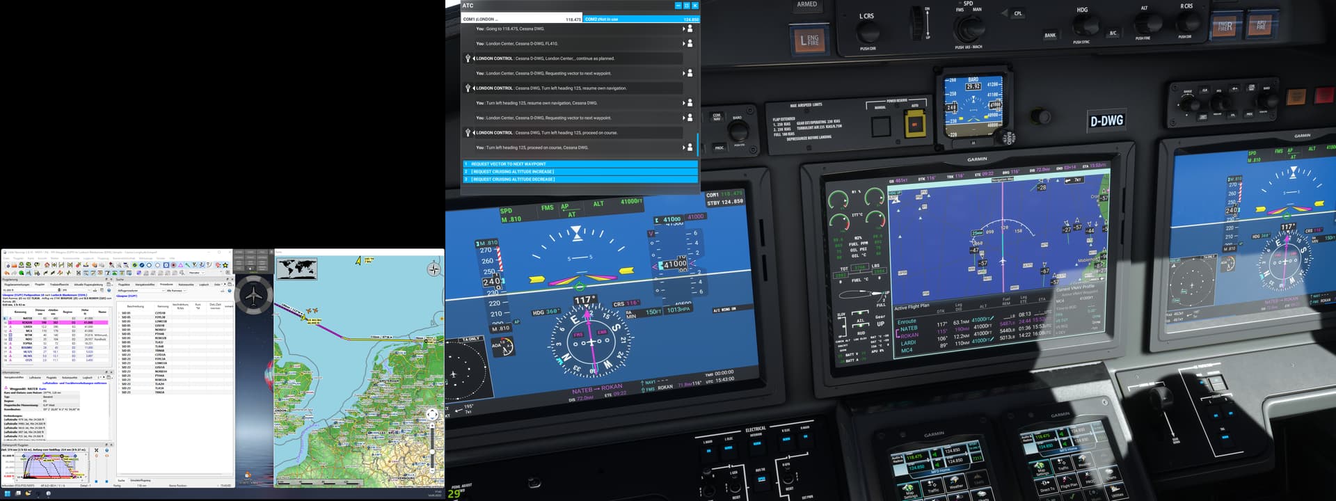
In Cessna Citation Longitude, with working title G3000 package, we have the possibility to display absolute heigth of adjacent aircraft, or their relative height to us. This is shown in MFD map. There is a calculation mismatch, which I cannot explain. In my screen shots below, there are two aircraft left to my course, at an absolute height of FL 360 and FL 350. Switching from absolute to relative height, they are displayed as -47 and -57. My plane is cruising at FL 410 over the North Sea.
Has anybody seen similar? Is there something hidden in physics, are there different measuring methods to explain the difference, or could this computional discrepancy be a bug, that I have to report to WT?
Any ideas?
In community folder are, beside the above mentioned G3000 package, only ‘flight dynamics mod’ and ‘marshaller´s baton is back’.