The problem is with the source of the water data, the set of polygons FS2020 uses to draw water. They are very low detail in many places and sometimes just a single line for rivers.
For example
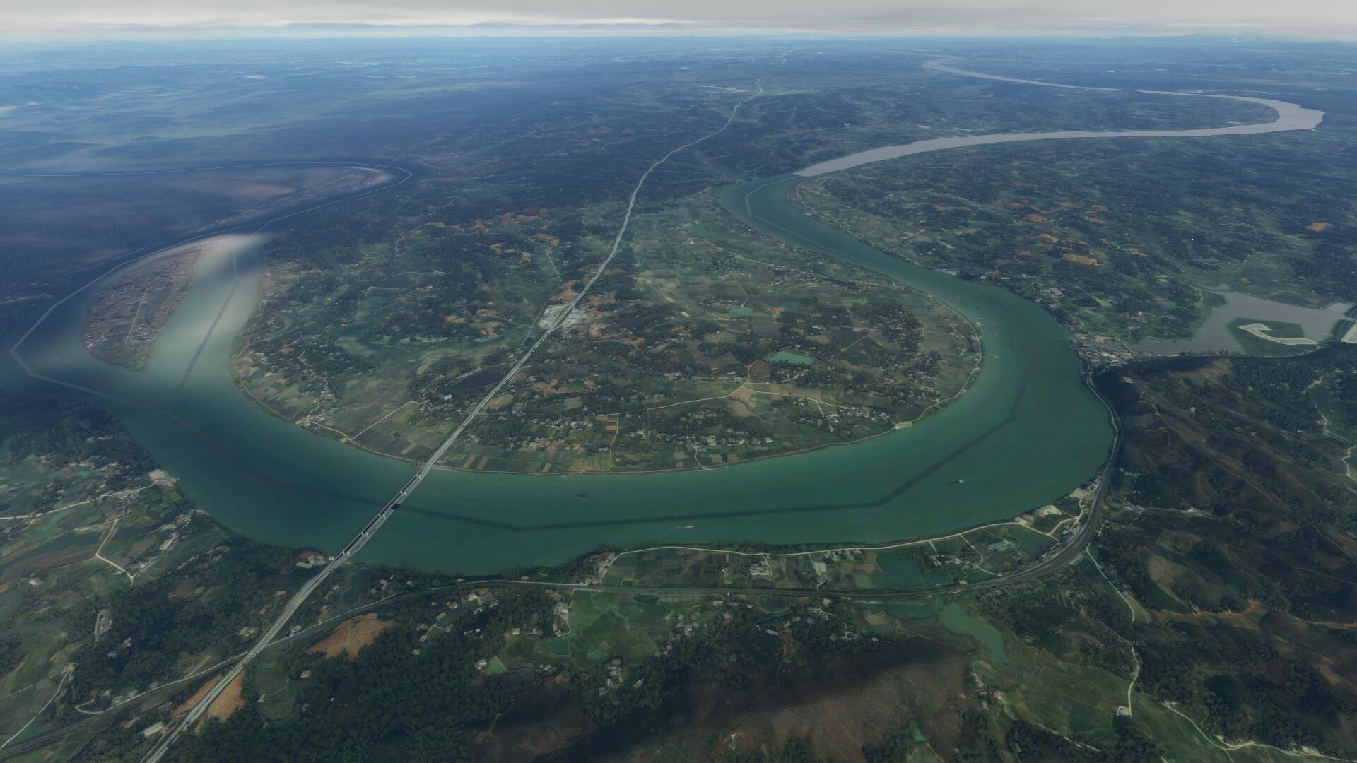
The polygon data set is from a different time than the aerial data as well. Rivers shift and swell, seasonal lakes are only around for a short period per year and tidal regions change every hour. The current polygon dataset will not work, at most the AI could use it as a hint where water is and trace the outlines on the map data to create a set that actually fits.
The closest related topic I could find is this
I can’t find anything about the actual polygon data, which sometimes is just better if turned off. (So it doesn’t cover the colorful dry lakes in Australia or draw a blue line through the middle of a perfectly fine looking river on the aerial data)
It’s a fundamental design issue. The water polygon set is meant for abstract maps, the one you see in the G1000 an vfr map.