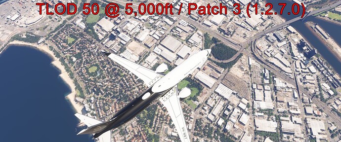
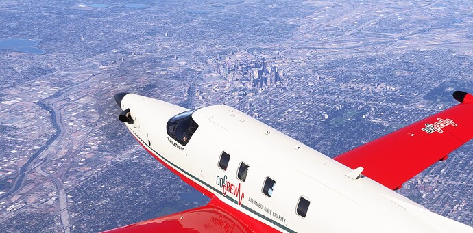
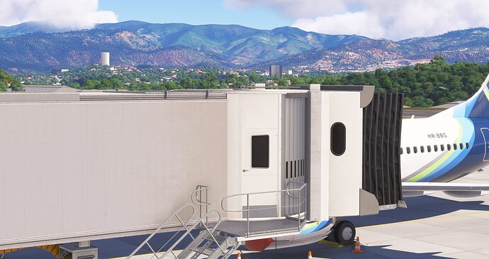
There is WAY too much pop in happening in fs24. My settings are in the ultra preset. Everything just spawns in too close to the player.
These are 4 screenshots over Melbourne, Australia at 5,000ft, an area of high detail. These are captured in MSFS 2024 after patch 3 (1.2.7.0) - TLOD 50, 100, 200, 400. I waited several minutes before capturing images, but noticed no additional texture load in.
All other settings are ultra (maxed). I am running a 4090, 9800X3D, 64GB RAM, 2TB Gen 4 M.2 NVMe, Windows 11 24H2, NVIDIA 566.36 drivers. 100 Mbps internet.
In my opinion TLOD400 essentially looks like TLOD 100 in MSFS 2020. This isn’t a streaming issue, as I noticed no improvement over time, nothing additional loaded in. I can replicate this consistently at any location.
This is a reminder that this thread is meant to serve as a bug topic, not a discussion topic. If you are experiencing this issue, please feel free to report your findings using the following template. In addition, if you find workarounds or processes that helped resolve the bug for you, please feel free to post about it, as it may help the team’s investigation. Outside of this, please use an existing or new topic in the appropriate Discussion Hub or User Support Hub to discuss/assist others with this bug.
All other posts will be removed.
![]() For anyone who wants to contribute on this issue, Click on the button below to use this template:
For anyone who wants to contribute on this issue, Click on the button below to use this template:
Do you have the same issue if you follow the OP’s steps to reproduce it?
•
Provide extra information to complete the original description of the issue:
•
If relevant, provide additional screenshots/video:
•
Would you mind helping me understand what I am seeing here? What is different in the TLOD 50 picture compared to the TLOD 400? How would that differ from 2020? What do you see?
I hate to assume the issue(s) without more info. I mean, there are obvious differences. But I am curious what you see, and particularly what you see wrong with the 400 LOD pic.
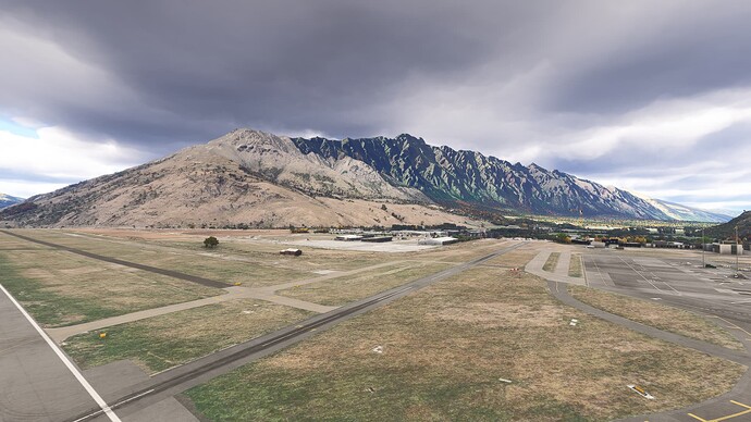
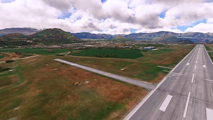
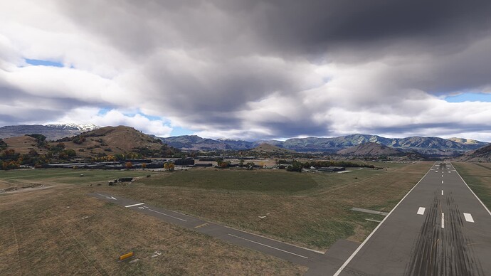
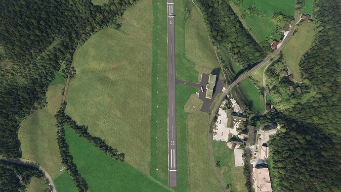
Some comparison screenshots I took just now out of the included NZQN in both sims. Graphics are replicated as far as possible with TLOD at 140.
2020
2024
2020
2024
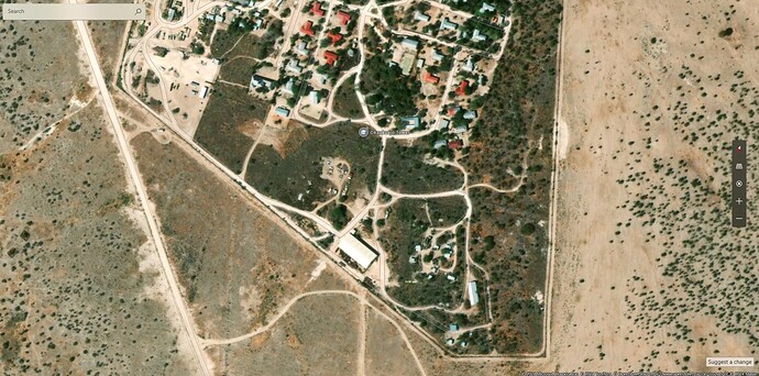
Not the best quality but here is the streetview from bing maps
Sam here no fix. Cant load scenery as I climb out and far away textures are a joke. Close by textures are great though.
Do you happen to know your TLOD in those pics?
Yes, TLOD 225 and OLOD at 175
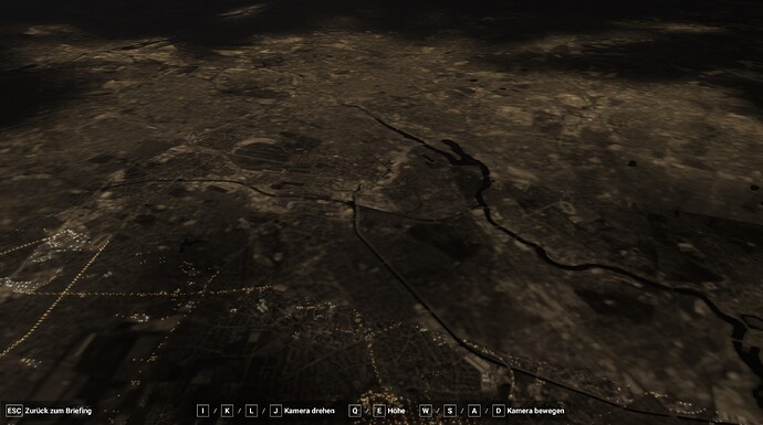
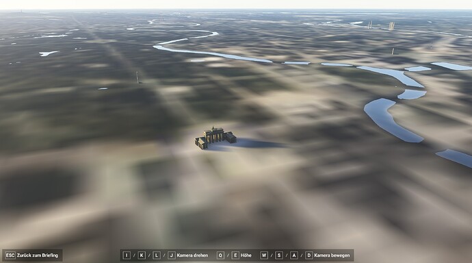
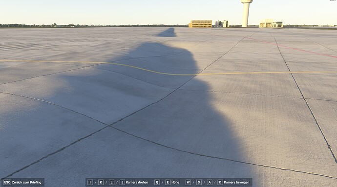
This is how Berlin looks like after 20Minutes loading time on EDDB. From my point of view not acceptable
And here is a parking position on EDDB. This is a joke.
There is something holding up the servers, streaming is taking way too long. Its annoying when you’re flying to a new airport and when you land all the textures are blurry.
I believe for now it’s in the THP.
(Too hard pile.)
![]()
Although I have not personally experienced the blurry LOD issues that seem to be a problem for many, I have noted other scenery issues that I had hoped might be cleared up with yesterday’s patch. Nope, they weren’t.
For example:
Spawn into Round Lake, N.Y. (W57) or Snohomisch (Paine Field-KPAE).
Round Lake’s grass strip is now bordered by behemouth monolithic looking cliffs (not the case in 2020), Paine Field STILL has ugly boulders on the end of its short runway(carried over from 2020) featured in the MSFS forum’s learn-to fly-series of videos.
On the up side of FS2024, I have discovered that the pop-out terrain issues that existed at CMF2 in FS2020 are completely gone in 2024. Yaaaaaaay!!
I truly believe that there are just so many bigger issues that the developers are wrestling with that these kinds of “niggles” will simply require more patience.
Do you have the same issue if you follow the OP’s steps to reproduce it?
• Yes
Provide extra information to complete the original description of the issue:
• Ground textures are blurry compared to 2020 they look worse. It does not matter if you have TLOD 100 or 400.
If relevant, provide additional screenshots/video:
•
files bugs everyone
I don’t think the blurry ground textures are necessarily the fault of fs2024. I’ve noticed a few places where the satellite imagery lookes blurry compared to fs2020, so I checked out Bing Maps and it was the actual imagery that Bing is using seems to have taken a step backwards.
fs2020
Bing Maps Today
fs2020
Bing Maps Today
Another day of sharp LOD, distant mountains looking great with 400 LOD. I am all but convinced something has been done to address this.
Textures still are what they are.
please show us
This forum hates my phone and makes photo uploads a whole thing, so I am hoping others might confirm or deny.
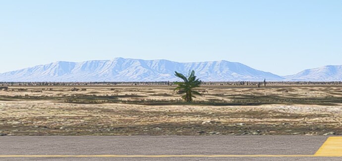
For now, my testing has primarily been flying in the USA Rocky Mountain region, but since the patch I am no longer seeing distant mountains become fuzzy and low resolution like they are out of focus. Instead, distant mountains now look sharper, like 2020, at least with 400 TLOD.
I have cut out the mountains in the distance. One picture shows the mountains in the background after the loading process. The other picture shows the mountains during the loading process. You can clearly see in the simulation that a kind of haze layer is added during the loading process. However, I am not sure that the actual problem is that the mountains in the background are always blurred and have a lower resolution.
This is what I see now. Your upper pic. Yes, atmospheric haze is handled differently and that adds a bit of a, “Natural” blur over things which I do not mind. I find it more true to life than 2020’s haze effects.
But before the patch, distant visible mountains seemed to fall outside the ring of 400 TLOD making them totally out of focus and blurry. Like you could see where the TLOD ring of detail stopped and everything past it looked like low LOD mountains. Or like they weren’t fully loading.so it might have been a streaming issue.
uhm, they don’t use the bing map images "directly " . They use A.I to match textures /ground tiles to the satellite images ( grass, farmland, or forest , or whatever ).A.I is not going to match lower quality textures if the base image is lower quality. The only texture/scenery issue related to bing map is where there is total cloud coverage on all available sat/aerial images so the AI can’t really use matching tiles/textures . So it does not really matter if bing image not as crisp or detailed .
