Leg 13 - HECA-HUEN
Departed: 11:00z (RWY 23L)
Arrived: 15:32z (RWY 17)
Weather: Clear skies
Aircraft: Boeing 787-10
Route: HECA N0498F370 DCT LUBOS DCT GINDI DCT EMENA DCT LUGAV DCT SML DCT NUBAR
DCT SOMAK DCT MRW DCT SODAB DCT ITOMO DCT IMDUR DCT KABLA DCT IMDEB
DCT UBETI DCT AVEXO DCT HUEN
Approach: ILS Z 17 (AVEXO transition)
Remarks:
- First time flying the B787-10; used the Heavy mod to improve the experience and overall it performed very well. Simbrief integration worked fine for the route import and no real issues with the FMC at all.
- Clear skies on departure; straight out on RWY23L and direct to the first waypoint.
- Tracked the Nile for most of the trip and ended with a straight in landing to RWY17, with clear skies and no winds.
Awaiting departure from HECA
Taxiing out
Banking away from RWY 23L
Tracking the White Nile south through Sudan
Final approach into HUEN on the banks of Lake Victoria
Almost parked on the equator at HUEN
Distance completed: 7,214nm Distance remaining: 39,377nm
Leg 14 - HUEN-FACT
Departed: 09:42z (RWY 17)
Arrived: 14:46z (RWY 19)
Weather: Clear skies on departure; scattered clouds on arrival
Aircraft: Boeing 787-10
Route: HUEN F360 APNAD1B APNAD DCT UVKOD UT910 UVMID UR784 XALEM UA409
VLS UT916 UPV Q23 XALVA DCT ERDAS ERDAS1B FACT
Approach: ILS Y 19 (CB transition)
Remarks:
- Stunning departure south over Lake Victoria
- Flew the ERDAS 1B arrival and joined the ILS Y 19 approach at the CB transition; had a minor issue with the LOC alignment (ended up to the left of the runaway), but disconnected the autopilot and flew the final 5km visually.
Parked at Entebbe International
Straight out departure over Lake Victoria
Sesse Islands on Lake Victoria
Crossing Lake Tanganyika
Lake Mweru
Flying over the north of South Africa
Ceres Mountain
Looking out over Simonsberg Nature Reserve
Turning onto final approach into FACT (RWY 19)
On final
Parked up next to another fellow BA aircraft
Distance completed: 9,399nm Distance remaining: 37,192nm
Leg 15 - FACT-OMDB
Departed: 11:30z (RWY 19)
Arrived: 20:35z (RWY 30L)
Weather: Clear skies
Aircraft: Boeing 787-10
Route: FACT F350 TETAN1A TETAN UZ2 NIBEX DCT EGMEN UQ2 EPSEK UM307 VBR
UM310 DV UL437 VEDET B400 DAXAM P316 DEDSO R401 PEDOG P308 KIPOK
L568 IMPED IMPED3C OMDB
Approach: ILS 30L (ULDOT transition)
Remarks:
- Night MPED 3C arrival, but cut the corner at DB515. Felt the default scenery around Dubai was a little sparse (only the Burg Khalifa was really visible) - not sure if it failed to load properly after a 9hr flight, so will do some testing before my departure on the next leg.
Taxiing out to Runway 19 at FACT
Departing over Cape Town
Heading out over the ocean
Turning back north towards Dubai (only another 4,000 odd kilometres to go!)
Cruising past Johannesburg at 35,000ft
Heading towards Kruger National Park
Starting to lose the sun
Sunset from the cockpit
Flying over Dar es Salaam in Tanzania
Approaching runway 30L at OMDB with the Burj Khalifa in the distance
Parked up at OMDB after a long flight
Distance completed: 13,526nm Distance remaining: 33,065nm
Leg 16 - OMDB-VNKT
Departed: 06:30z (RWY 12R)
Arrived: 10:00z (RWY 02)
Weather: Clear skies on departure; few clouds at 1500ft on arrival
Aircraft: Boeing 787-10
Route: OMDB N0174F310 DAVM4G IVURO M677 KUSEN A791 BIVIN R462 RAMSA Z15 JDP W58 JJP J20 LKN W86 APIPU G598 PARSA SMRA2R VNKT
Approach: VOR 02 (GURAS transition)
Remarks:
- Purchased the Orbx Dubai Landmarks pack, which was a huge improvement over the default scenery
- I’ve been enjoying the 787, so decided to stick with that for this leg, instead of the A320neo as initially planned
- Some issues getting the aircraft to descend at the high FPA (5.31 degrees) needed for the VNKT runway 2 approach, so had to take manual control….not sure it would have been the most pleasant of experiences for the passengers!
- Made use of Troglodytus’ freeware scenery from flightsim.to for VNKT.
Ready to depart from OMDB
Climbing out from RWY 12R
Continuing our ascent and crossing one of the strangest borders I’ve ever seen…
…a small piece of the UAE within a piece of Oman…within the UAE!
Cruising towards Karachi, Pakistan.
Cruising at FL310 with the Himalayas in the distance
Bonus shots (from a first attempt at the flight which I had to abandon):
Departing RWY 31L with the Dubai skyline in the distance
Sunset over India
Distance completed: 15,141nm Distance remaining: 31,450nm
Leg 17 - VNKT-VNLK
Departed: 11:15z (RWY 02)
Arrived: 12:04z (RWY 06)
Weather: Fairly cloudy departure and at cruise; clear arrival
Aircraft: DHC6-300
Route: VNKT N0174A110 IGRI1B 2733N08643E 2734N08642E 2734N08641E 2735N08640E 2737N08642E 2740N08642E VNLK
Approach: Visual, with chart below as a guide (found here)
Remarks:
- With the Aerosoft Twin Otter now available for MSFS, I decided to use that for my hop across to Lukla from Kathmandu instead of the Cirrus SR22 originally planned
- Although I used the instument departure from VNKT (IGRI1B SID), I flew the rest of this flight visually using a route I found online. After departing VNKT on RWY 02, I flew the 96 degree radial from KTM VOR (113.20) for ~70km before finding the valley running North towards Lukla airport.
- I was a little high on my approach into VNLK, so ended up having a pretty steep final descent path, but still managed to almost miss the end of the runway!
- The runway gradient is much steeper than I expected and I needed plenty of throttle after landing to taxi up the runway for parking.
Fueled up and ready for our short hop over to Lukla
Taxiing out to RWY 02 for departure
Climbing out over Kathmandu
Stunning views from the window seat!
The Himalayas looming large out of the flight deck
Perfect weather for a flight to Lukla
Spotting the valley that would take us North to Lukla airport
Turning north
A successul landing at VNLK!
Parked up and ready to check-in for the night at the Buddha Lodge
Distance completed: 15,214nm Distance remaining: 31,377nm
Leg 18 - VNLK-VQPR
Departed: 10:10z (RWY 24)
Arrived: 11:32z (RWY 15)
Weather: Clear departure; few clouds at FL15-FL17; clear arrival
Aircraft: DHC6-300
Route: VNKT N0174A110 IGRI1B 2733N08643E 2734N08642E 2734N08641E 2735N08640E 2737N08642E 2740N08642E VNLK
Approach: RNAV-Z 15 (PR888 transition)
Remarks:
- Amazing flight between two airports that consistently feature in Top 10 most ‘dangerous airports’/‘exciting landings’ lists…unsurprising given their locations nestled within the Himalayan mountain range!
- Take-off from Lukla was largely uneventful, with the run downhill providing plenty of momentum to help get the Twin Otter off the ground
- A few struggles with the Twin Otter autopilot on final descent, again led it being a little steeper than I would have liked, but still managed to get down safely - definitely plan to come back here and try again in a larger jet (I’m not sure an A320 would have managed the take-off from Lukla for this flight!)
Checked out of the Buddha Lodge and ready to depart
Climbing out of a snowy Lukla
Leaving the mountain pass behind
Spectaular views from the flight deck at FL170
Cloud hopping in the Twin Otter
Starting the RNAV-Z 15 approach into VQPR
Flaps full and ready to land with Rinpung Dzong (a 15th century Buddhist temple and fortress) in view
Parked up at Paro
Distance completed: 15,358nm Distance remaining: 31,233nm
Leg 19 - VQPR-VVTS
Departed: 07:55z (RWY 15)
Arrived: 11:34z (RWY 25R)
Weather: Scattered clouds at 5,000ft on departure; scattered clouds at 3,000ft on arrival
Aircraft: Airbus A320neo
Route: VQPR N0447F370 DCT BOGOP DCT GGT W53 KKU DCT KL DCT MDY DCT CMA A464 BKK R468 SAPEN SAPEN2M VVTS
Approach: ILS-Y 25R (TSH transition)
Remarks:
- Our destination for this flight (VVTS) isn’t one of the handcrafted airports, but is a necessary stopover on our way to Sydney, Australia; as far as I’m aware, there’s no plane capable of taking off from VQPR that would have had the range to travel the full distance to Sydney non-stop!
- I had to have a couple of attempts at departure for this one…1st attempt, I used the excellent new A320neo performance calculator (SimSmart), but didn’t consider the rapidly rising terrain on take-off, so my CONF 1+F Vspeeds used up far too much of the runway, with painful consequences… I corrected this on my 2nd attempt, but then was a little too trusting of the ATC I was using (Pilot2ATC) and got directed into a mountainside. On my final (successful!) attempt, I did the sensible thing and ignored ATC instructions and flew the departure visually, tracking the valley until I was at sufficient altitude to regain my course.
- The arrival was relatively uneventful, although I’m convinced ATC switched runways on my as I was on final approach, so I ended up landing on 25R instead of the originally planned 25L…
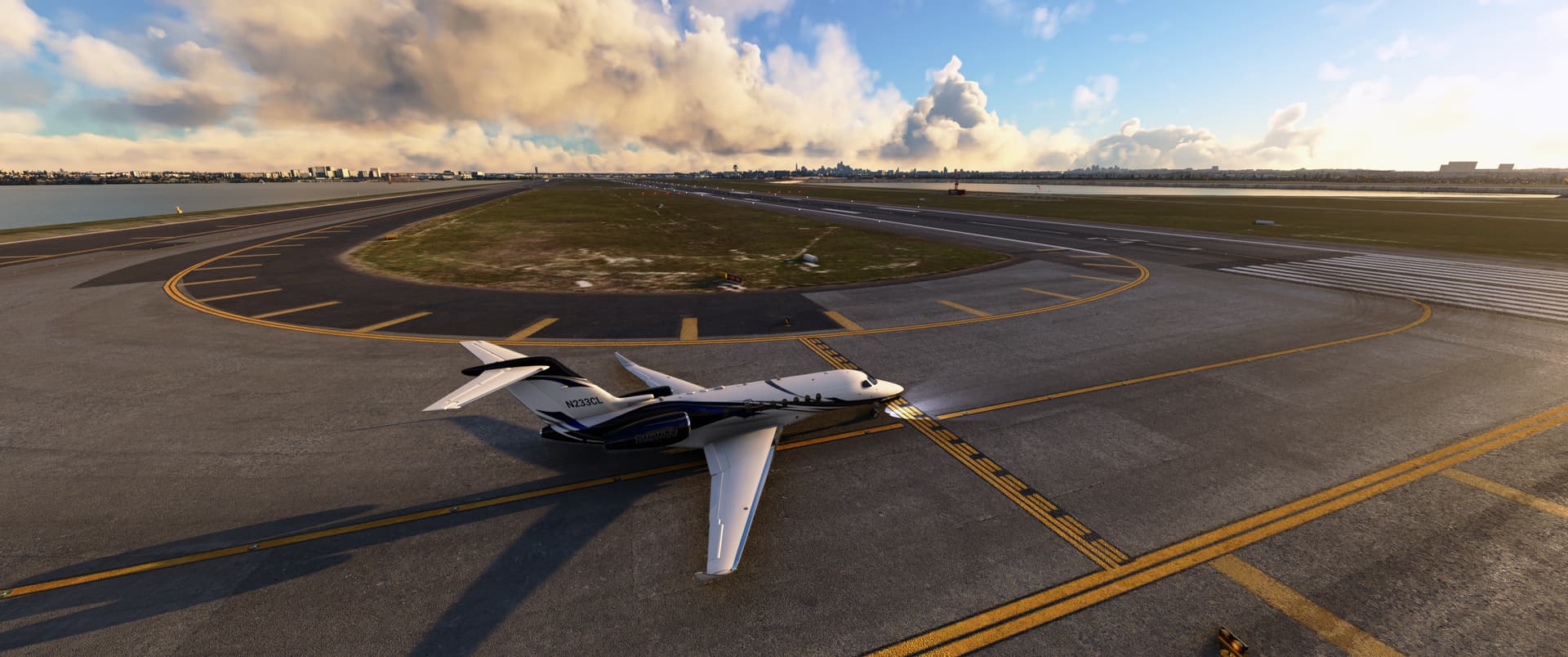
Ready for the challenging visual departure from Paro…
Finally out of the mountain valleys and on our way
Beautiful view of the Himalayan range over the wing
Crusing over Myanmar
Turning eastwards as we cross over Bangkok
Sunset in Vietnam
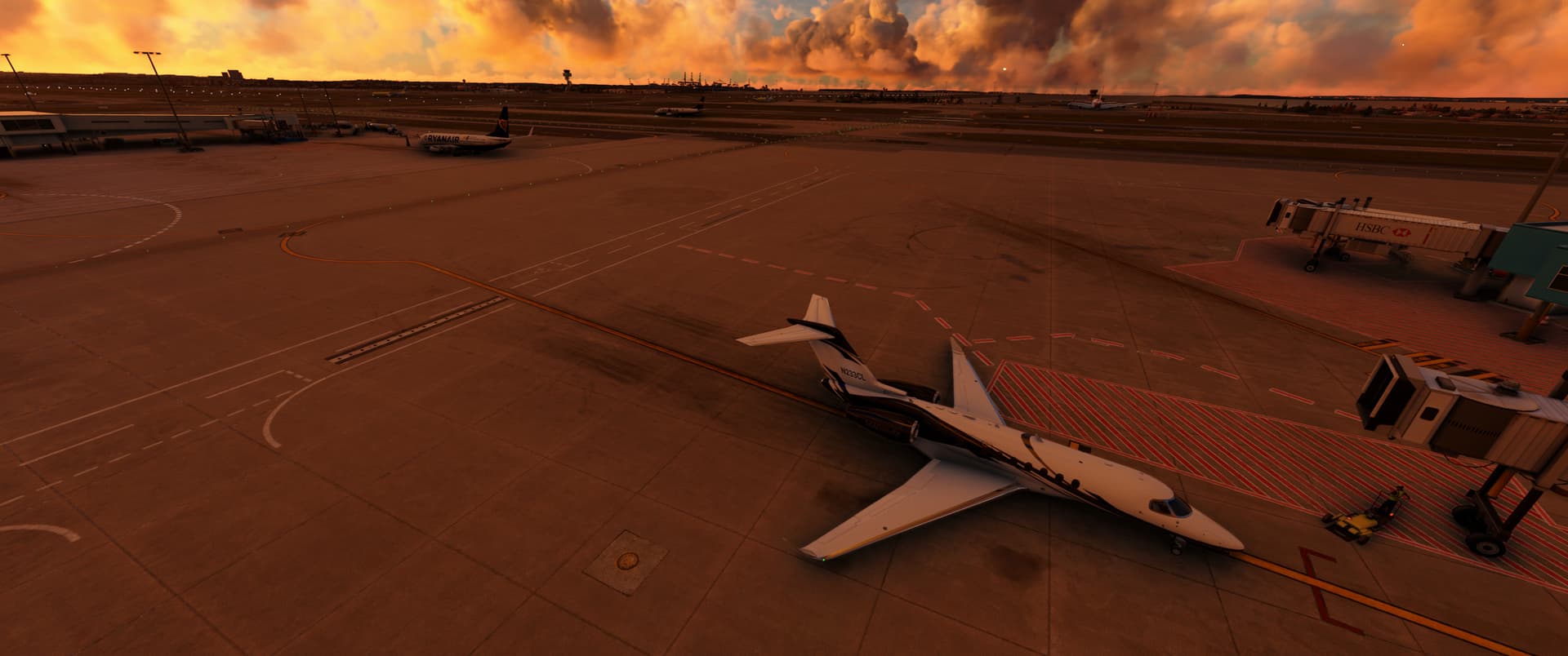
Parked up at Tan Son Nhat International Airport
Distance completed: 16,750nm Distance remaining: 29,841nm
Leg 20 - VVTS-YSSY
Departed: 23:25z (RWY 25L)
Arrived: 07:50z (RWY 16R)
Weather: Scattered clouds on departure and arrival
Aircraft: Boeing 747-8i
Route: VVTS K0939F350 LANHI1R LANHI DCT ELSAS M768 MOXON/N0506F350 M768 DN J251
TN T74 VINAX G326 TAVEV R340 AGETA UH201 SCO H12 BOREE BOREE3A YSSY
Approach: ILS 16R (URDEN transition)
Remarks:
- This was my first flight in the 747 and I used the 747 Salty mod, which greatly enhances the functionality of the default aircraft and can be found here: https://github.com/saltysimulations/salty-747
- Departure was smooth, with a beautiful climb out over the ocean
- I struggled a bit with the flare on landing and ended up bouncing a bit…the extra cockpit height of the 747 makes for a very different experience!
Lots of pics below…the 747 is very photogenic!
Sunrise in Ho Chi Minh City for our early morning departure to Sydney
Cloud hopping in a 747
View out of the passenger window as we depart from VVTS
Heading out over the ocean towards Brunei
Cruising over Malaysia at FL350
Landfall over Darwin, Australia
Crusing over the Australian outback, near Pine Creek
The sun sets as we approach Sydney
Exiting runway 16R
Parked up at YSSY
Distance completed: 20,446nm Distance remaining: 26,145nm
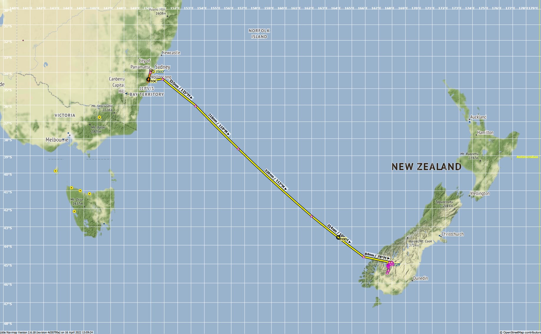
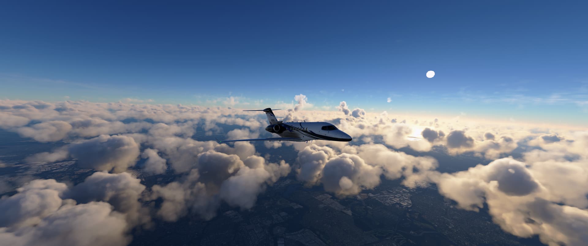
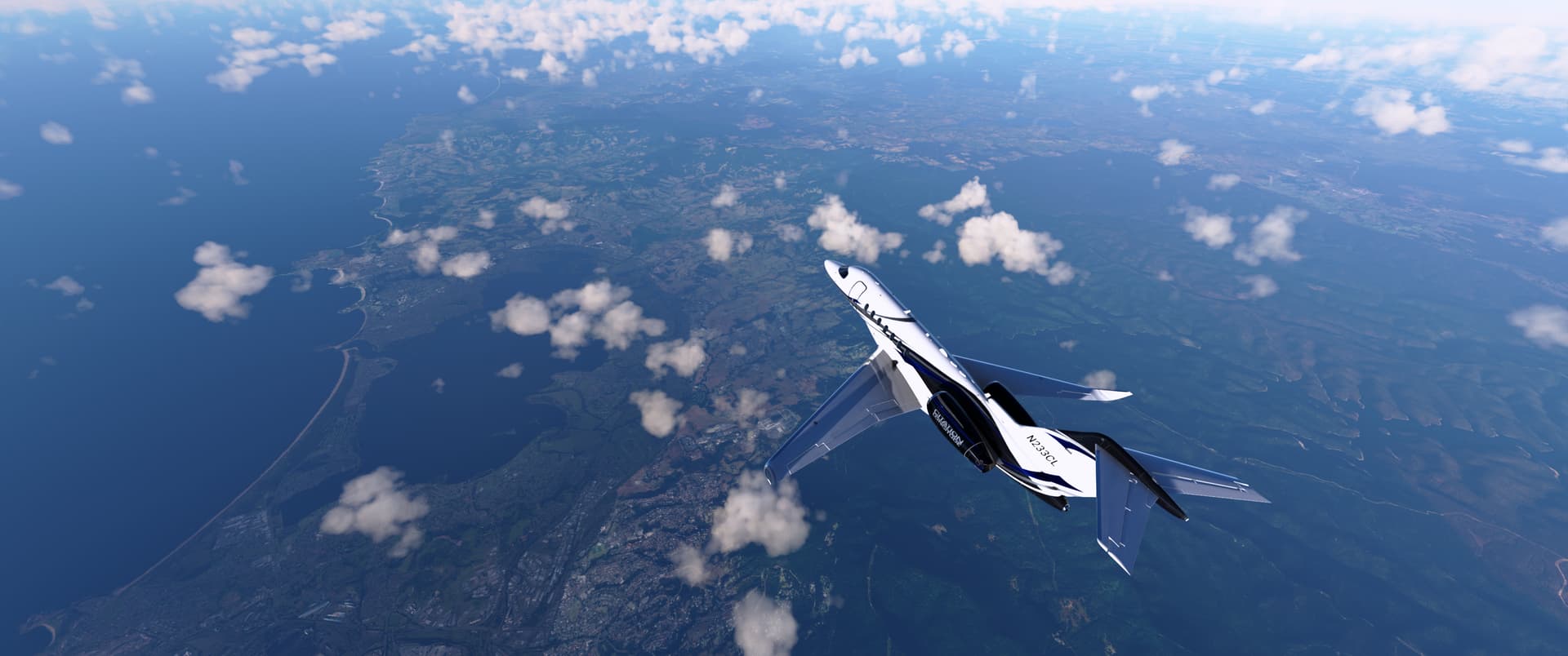
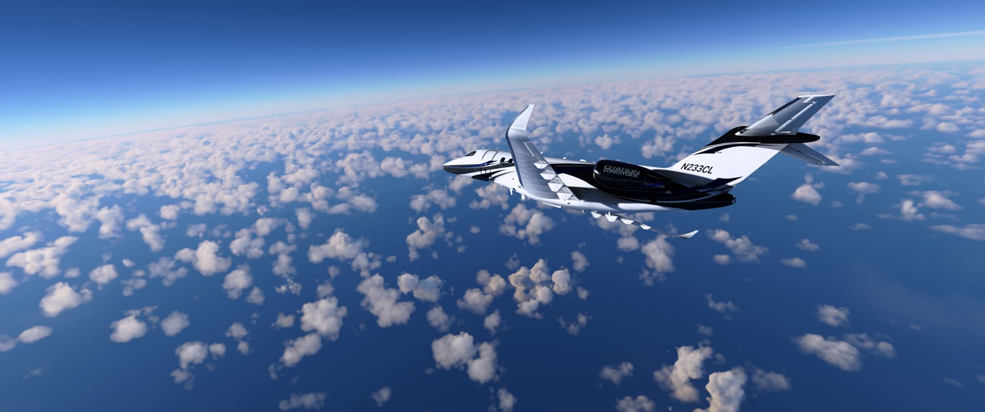
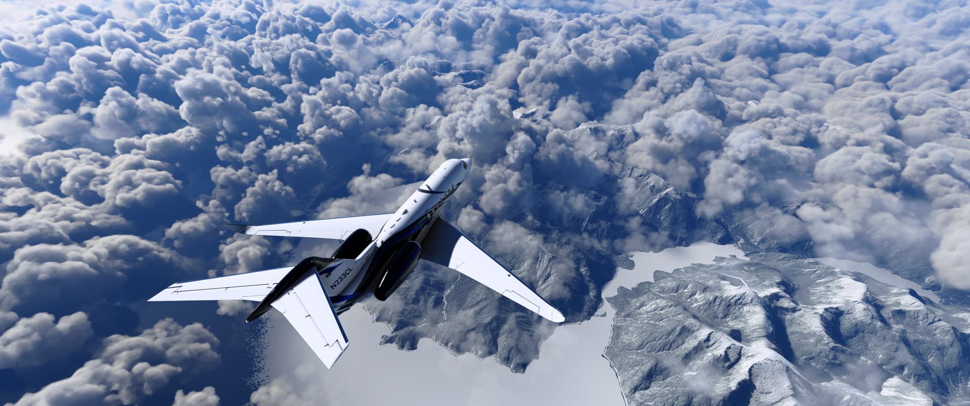
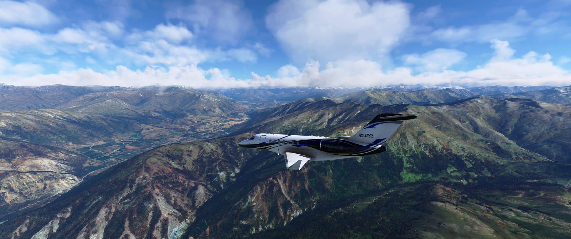
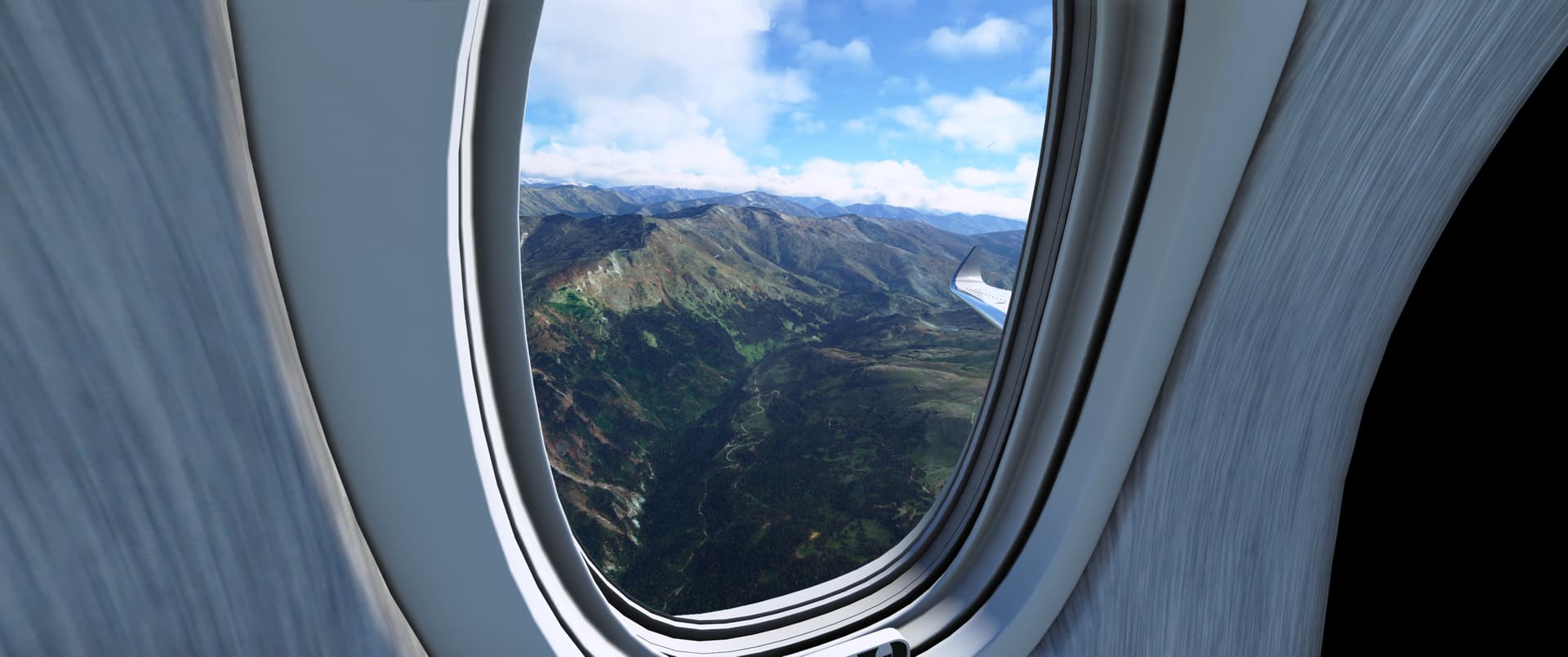
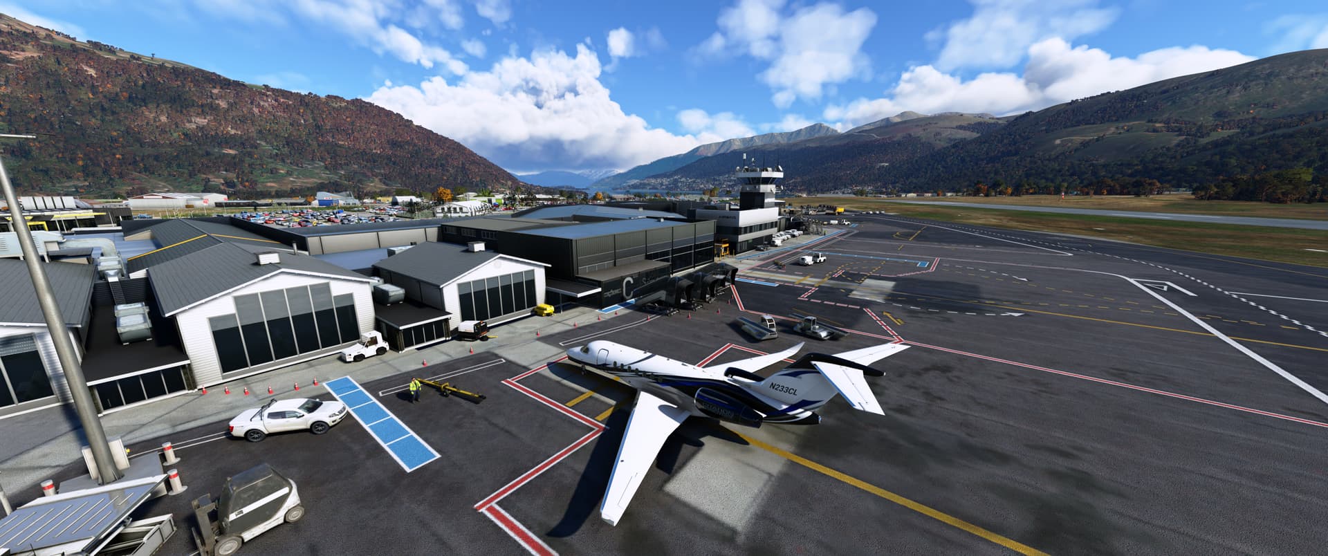
Leg 21 - YSSY-NZQN
Departed: 20:46z (RWY 34L)
Arrived: 23:38z (RWY 23)
Weather: Scattered clouds at 4,000ft of departure; Few clouds at 9,000ft on arrival
Aircraft: Cessna Citation Longitude
Route: YSSY N0469F410 DCT OPTIC Y84 TONIM P766 OMKIN DCT ADKOS DCT NZQN
Approach: RNAV-Z 23 (UGPED transition)
Remarks:
- First time flying the Cessna Citation Longitude and I found it very enjoyable; I used a combination of the Dakfly Flight Dynamics mod and WT G3000 mod to greatly improve the realism of the default aircraft and because of this didn’t have any issues at all. Use of ‘manual’ VNAV on approach to hit the right ToD and vertical speed was a lot of fun!
- I think the RNAV approach into runway 23 at NZQN is my favourite of the tour so far - the turning descent through the valley towards the airport is really spectacular and I definitely intend to come back and have a few more goes (perhaps in something larger like the A320neo next).
- I couldn’t resist upgrading the handcrafted airports with a bit of payware and for this flight I used FlyTampa’s Sydney and iniScene’s Queenstown (both looked great!)
Early morning departure from YSSY (for some reason a Ryanair jet has made it’s way down to Sydney…not sure why that is, but it’s certainly a long way from home!)
Sunrise from the Captains window
Holding short of runway 34L with traffic on final
Turning away from the airport as we head south
Getting above the clouds
View from the passenger cabin
Heading south along the coast to Wollongong
Turning east out over the Tasman Sea towards New Zealand
Crossing the mountains of the South Island
First view of Queenstown through the clouds
Descending through the valley on our way to NZQN
Spectacular views from the passenger cabin on approach
Parked up at NZQN
Distance completed: 21,493nm Distance remaining: 25,098nm
1 Like
Leg 22 - NZQN-WAYY
Departed: 19:34z (RWY 23)
Arrived: 03:16z (RWY 30)
Weather: Few clouds at 5,500ft on departure; broken clouds at 8,000ft on arrival.
Aircraft: Cessna Citation Longitude
Route: NZQN N0348F180 DCT QN P880 SCOTT Q47 ITIDE Q295 GUDSO Q67 UPOLO LAKED B473 WP G459 AGIGU UBDUT DCT OVGOD OVGO1D WAYY
Approach: RNAV 30 (ELNOP transition)
Remarks:
- Another excellent flight in the Longitude! Stunning departure from NZQN via the runway 23 FRANKTON 7 departure, beautiful views of the Great Barrier Reef as we skirted along the Queensland coastline northwards at FL410 and a scenic arrival into WAYY over the river.
- The only issue was needing to save and restart the flight after I ran into the dreaded ‘long flight’ bug…something that hadn’t been an issue with the previous few long haul flights I’d completed on this tour, but for some reason had me down to <10fps after about 6hrs of flying this time.
- This flight also had me cross the half-way point (in terms of distance)…24,442km down, only another 22,149km to go!
Another early departure
Just departed from runway 23 at NZQN
Climbing out with the airport behind us
Continuing to climb above the spectacular mountain ranges around Queenstown
Arriving over the east coast of Australia
The Great Barrier Reef from 41,000ft
Crusing past Cairns
Starting our descent
Final approach into WAYY
Parked up after another long flight
Distance completed: 24,442nm Distance remaining: 22,149nm
1 Like
Leg 23 - WAYY-WX53 (Bugalaga Airstrip)
Departed: 00:14z (RWY 30)
Arrived: 00:47z (RWY 24)
Weather: Few clouds at 3,000ft on departure
Aircraft: DHC6-300
Route: WAYY N0165A135 DCT TMK DCT WX53
Approach: Visual into RWY 24
Remarks:
- Back into the Twin Otter for this visual bush flight out to Bugalaga Airstrip (I went for the Tundra wheels cargo variant)
- I navigated to Bugalaga Airstrip using the TMK VOR (112.70); flying the 340 degree outbound radial for ~55nm until the airstrip was in sight and then doing a visual circuit to land on runway 24
Ready to ferry some much needed supplies out to Bugalaga Airstrip in the Twin Otter cargo variant with tundra wheels
Lined up ready for departure from runway 30 at WAYY
Climbing out from WAYY and turning north-west towards the mountains
Leaving Timika city behind
Approaching the mountain ridge at our TOC (13,500ft)
Cruising above the mountain plateau
Bugalaga airstrip in sight
On a downwind leg into runway 24 at Bugalaga airstrip
Not much space for manoeuvring at this tiny airstrip!
Distance completed: 24,499nm Distance remaining: 22,092nm