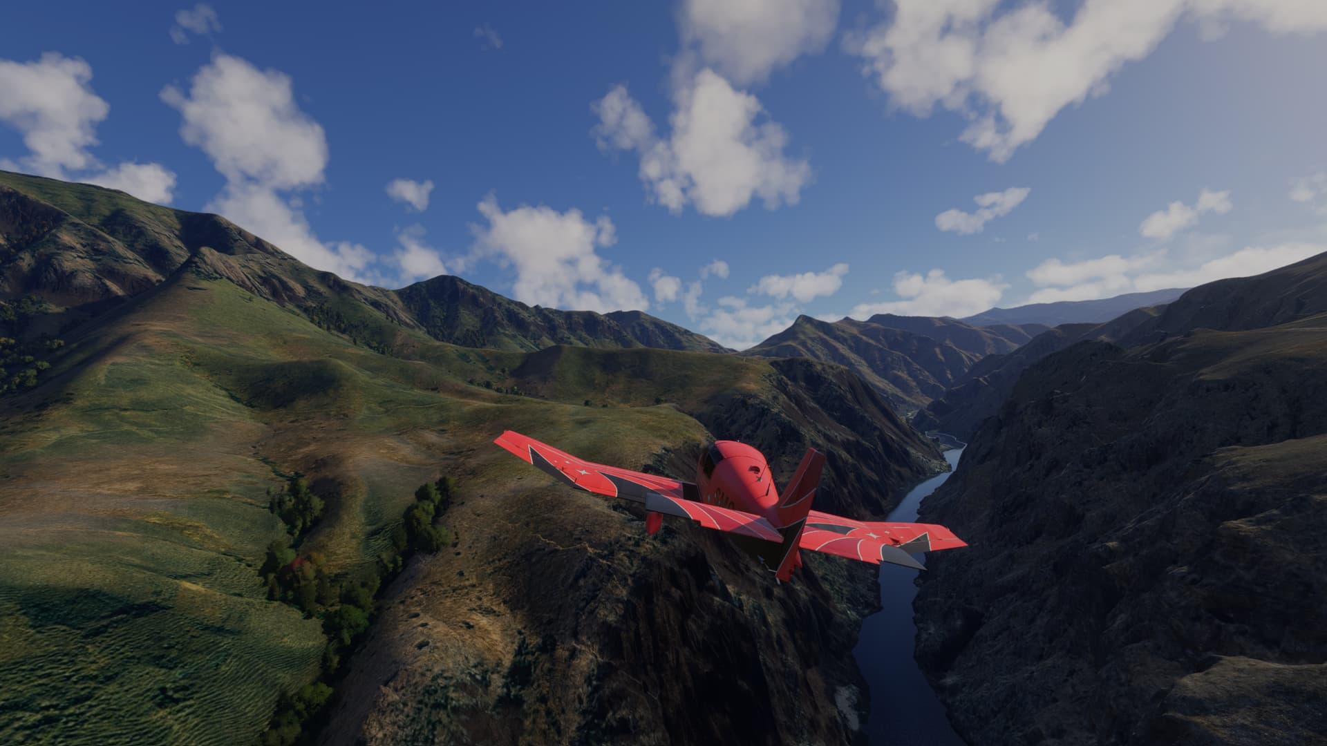
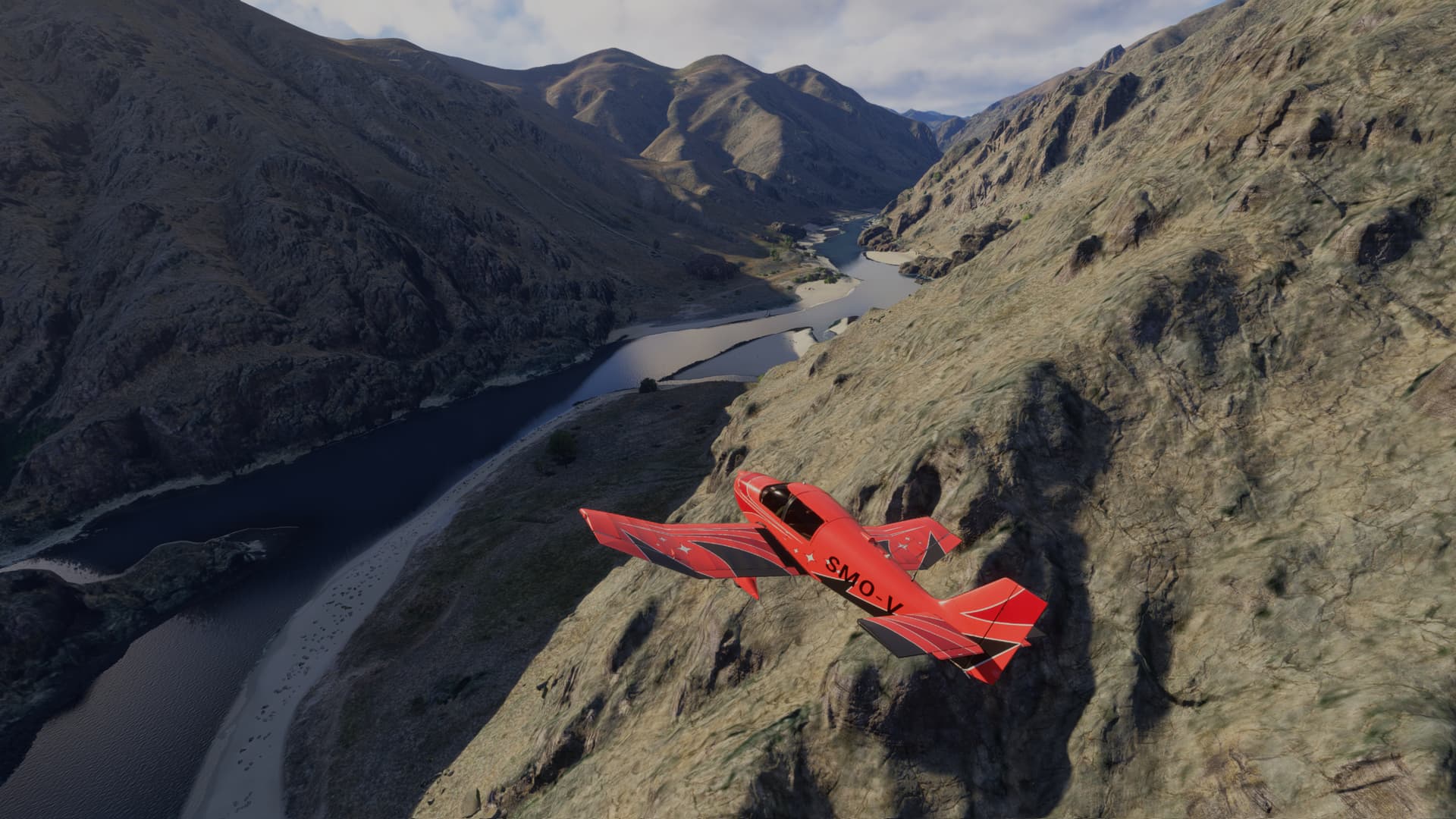
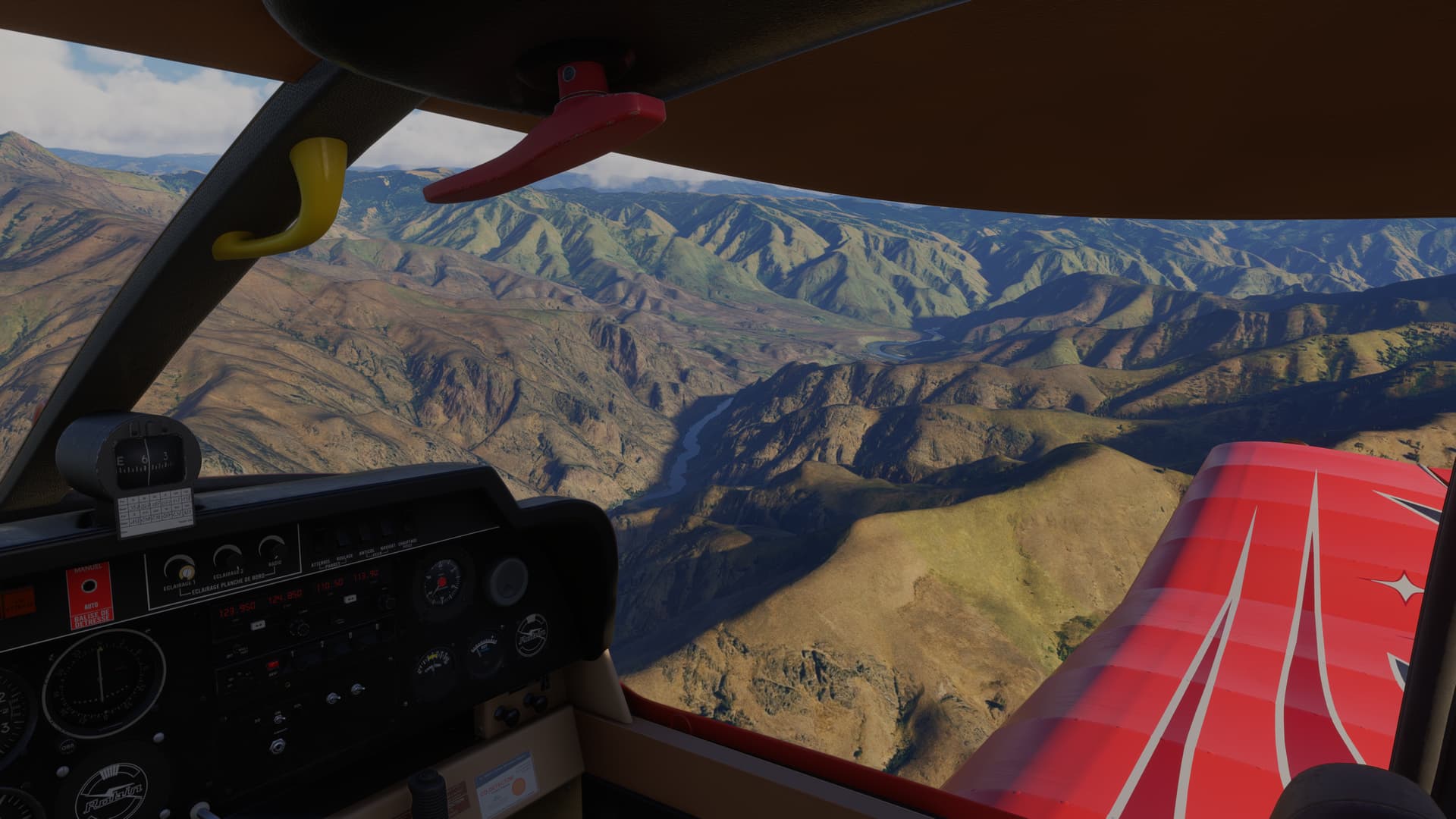
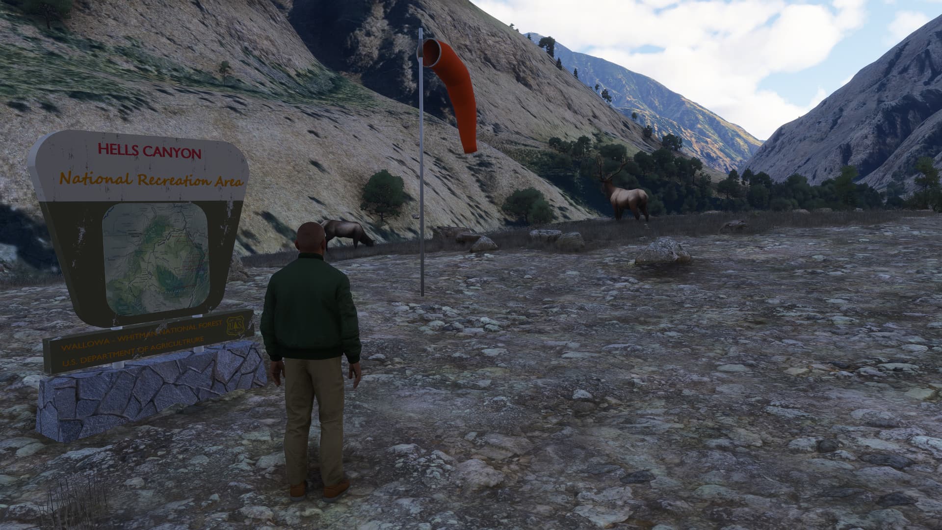
Some random shots of my trip down Hells Canyon in the Robin Cadet:
Section 1: Cache Creek to Lord Flat
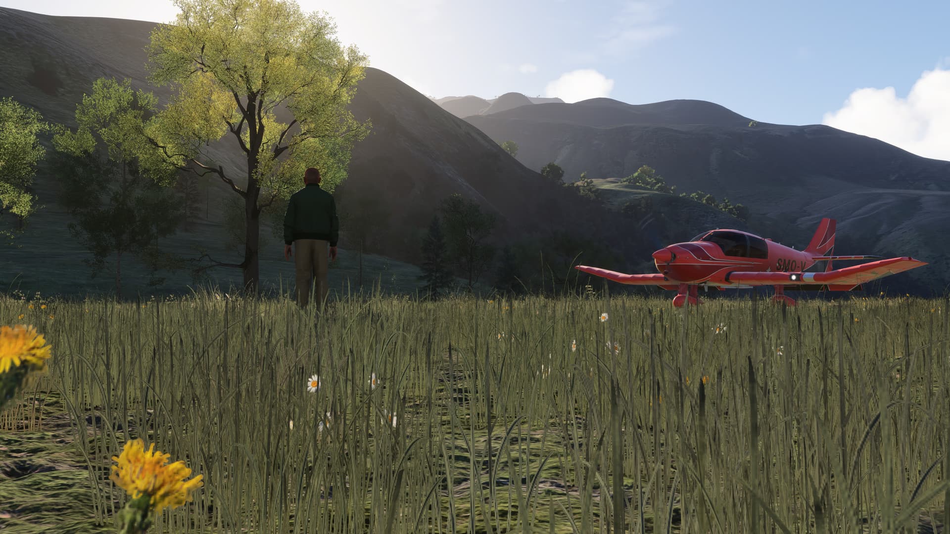
I’m flying North-to-South on this trip, starting at Cache Creek USFS (OR62). This is a great spot for camping and swimming:
My first stop was Wapshilla (I45) on the Salmon River. There it is, far below:
It’s an easy straight-in approach from the South:
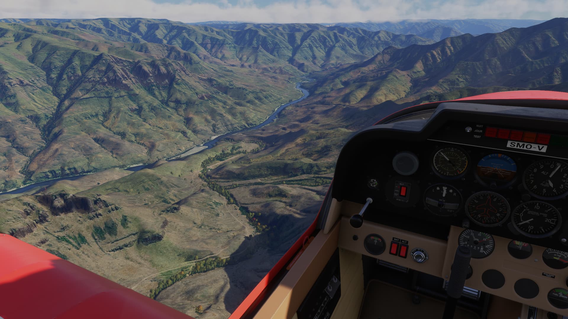
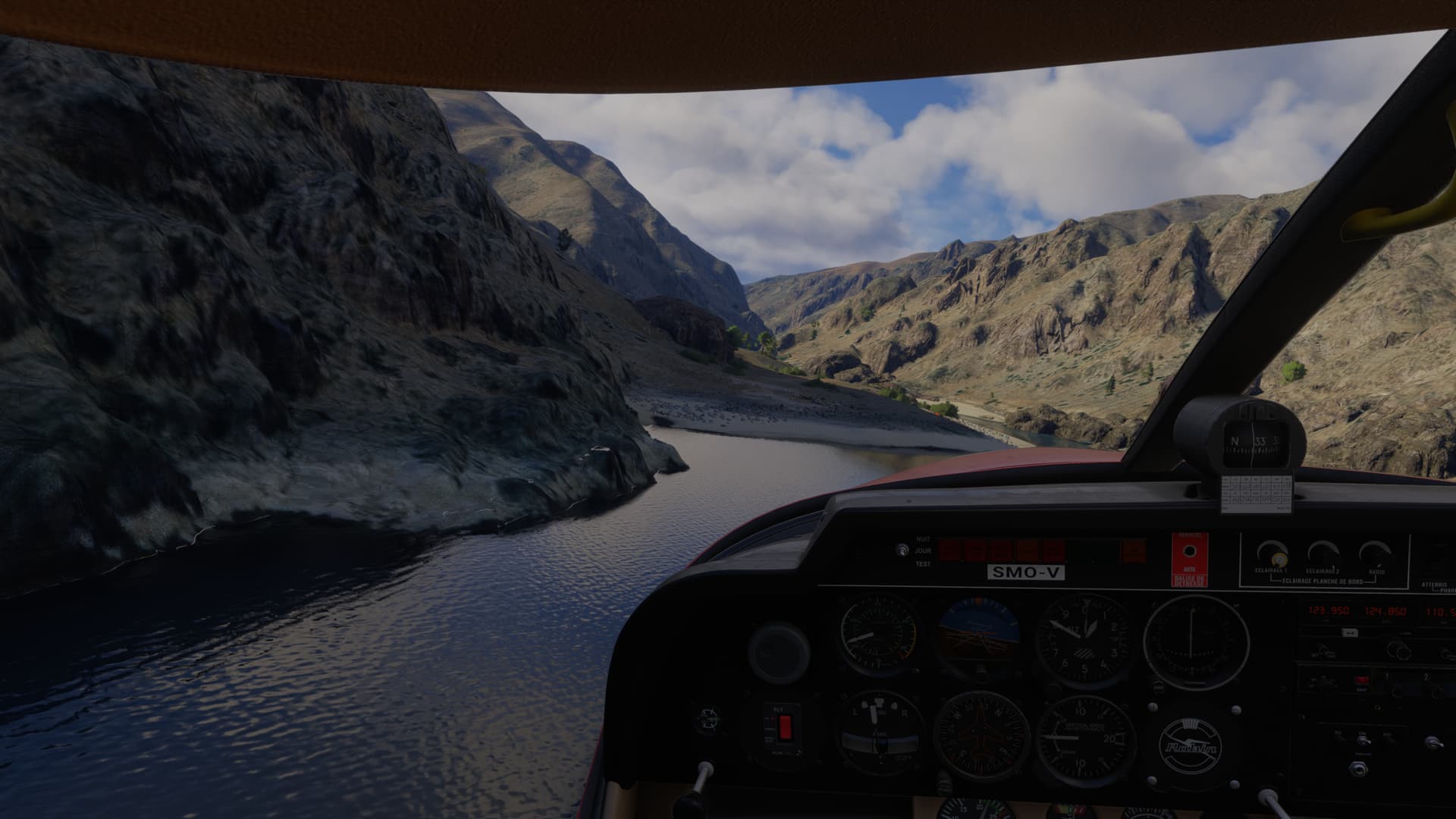
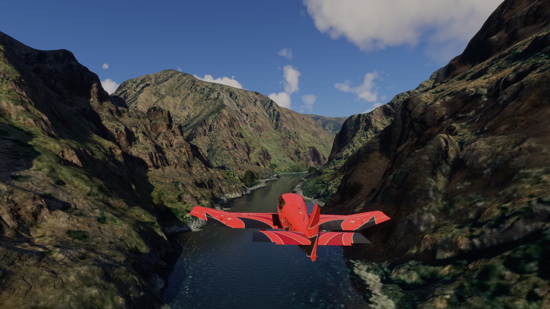
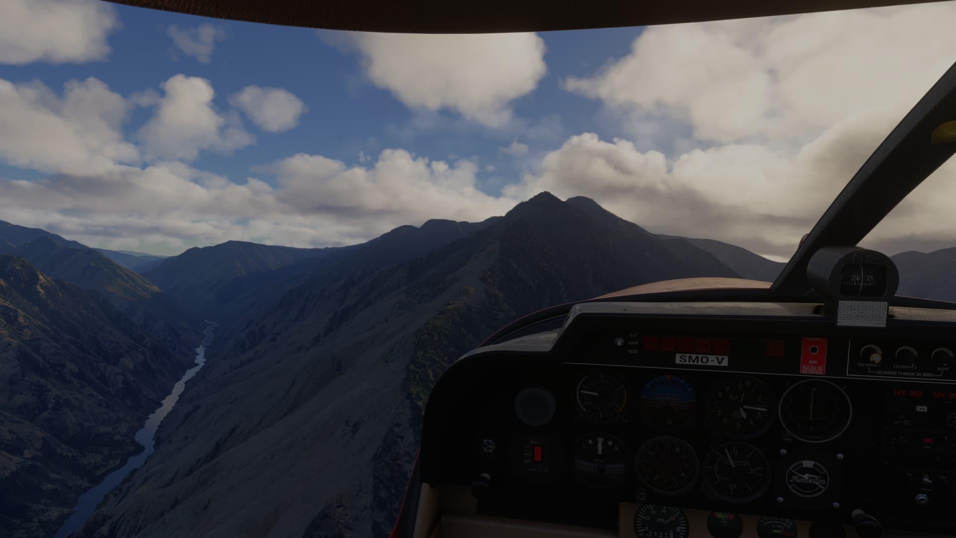
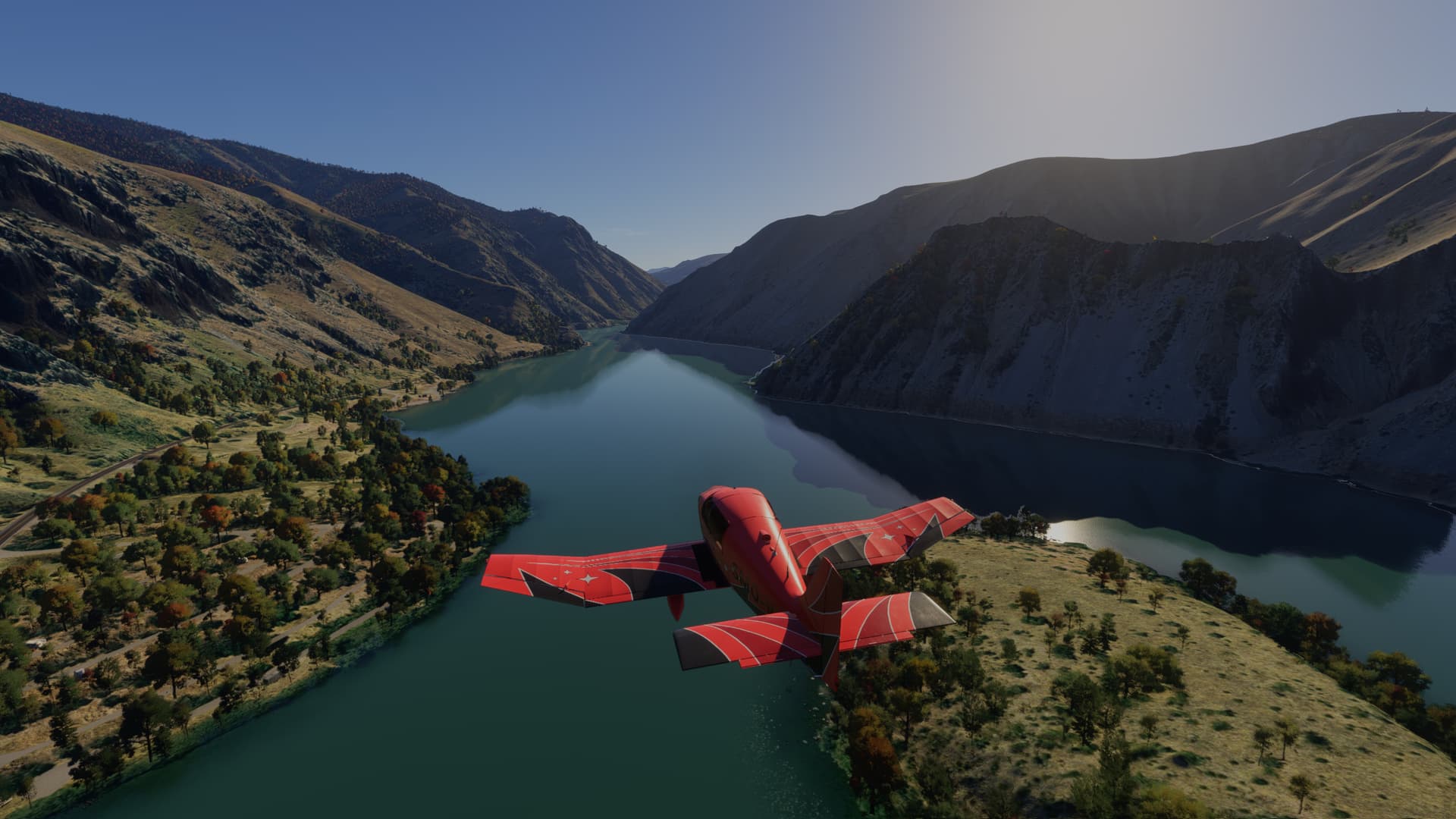
Then we follow the Salmon river to its’ confluence with the Snake river:
Salmon Bar is on the right:
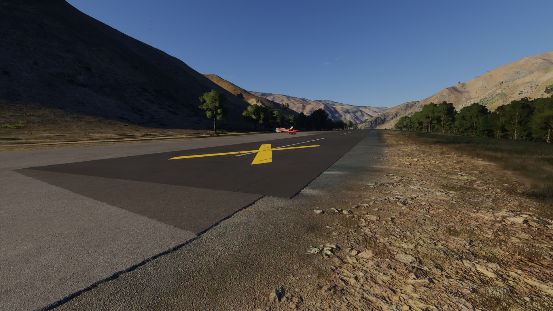
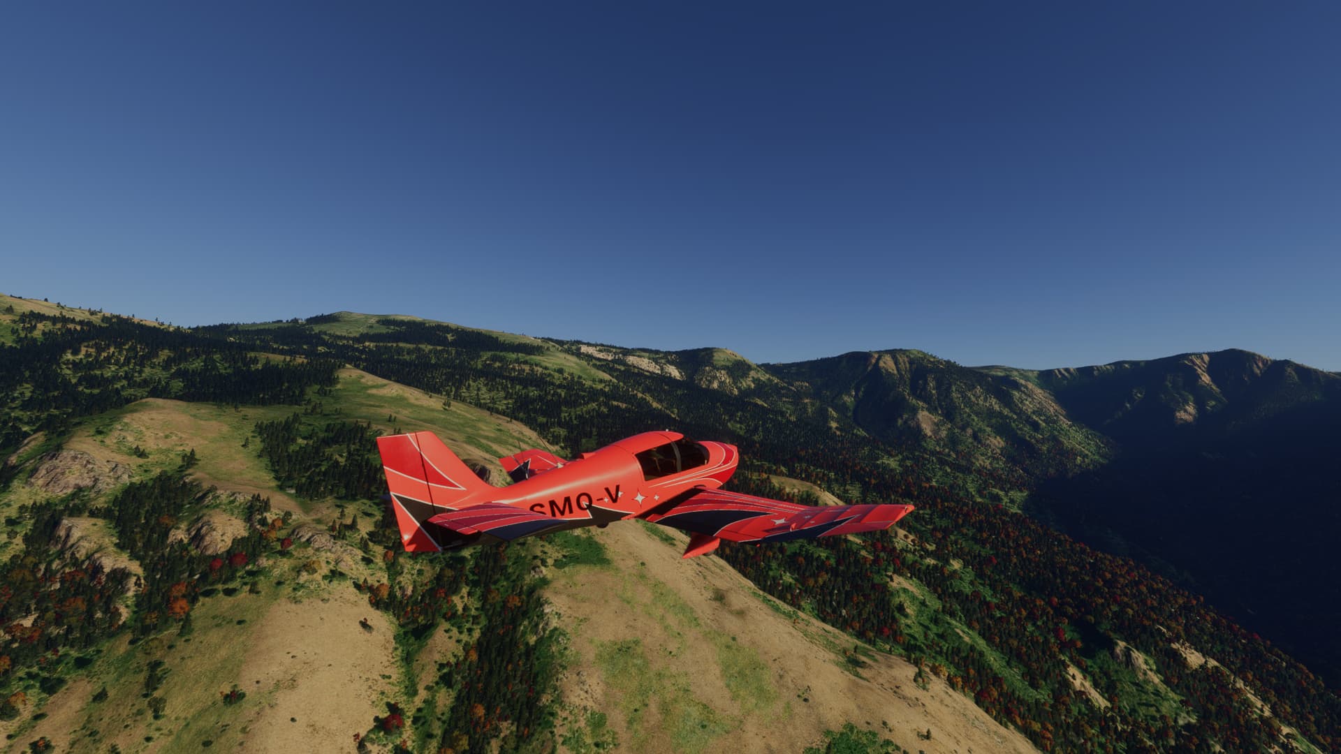
Approaching the airstrip from the south, I skirted the rock outcrop on the left before lining up to land:
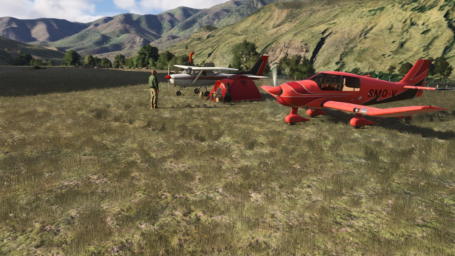
Then onwards up the Snake to Dug Bar USFS (OR8):
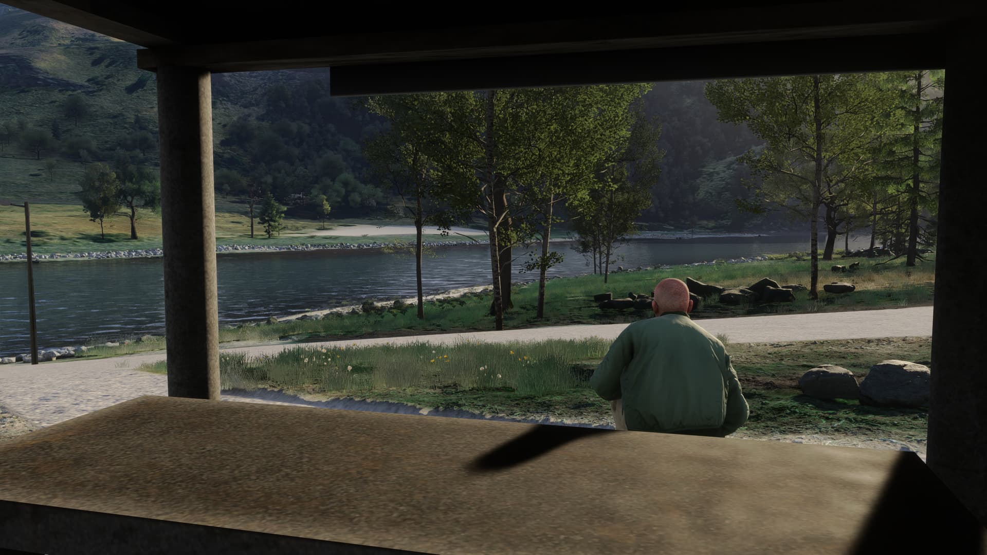
You can camp right by the runway if you want to:
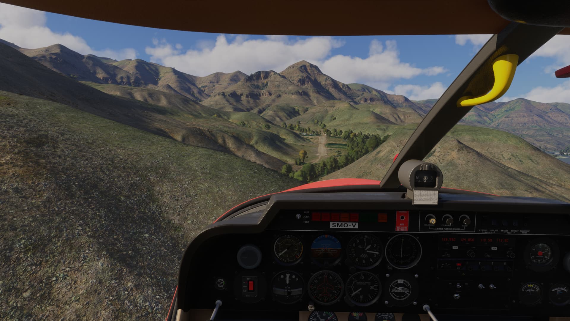
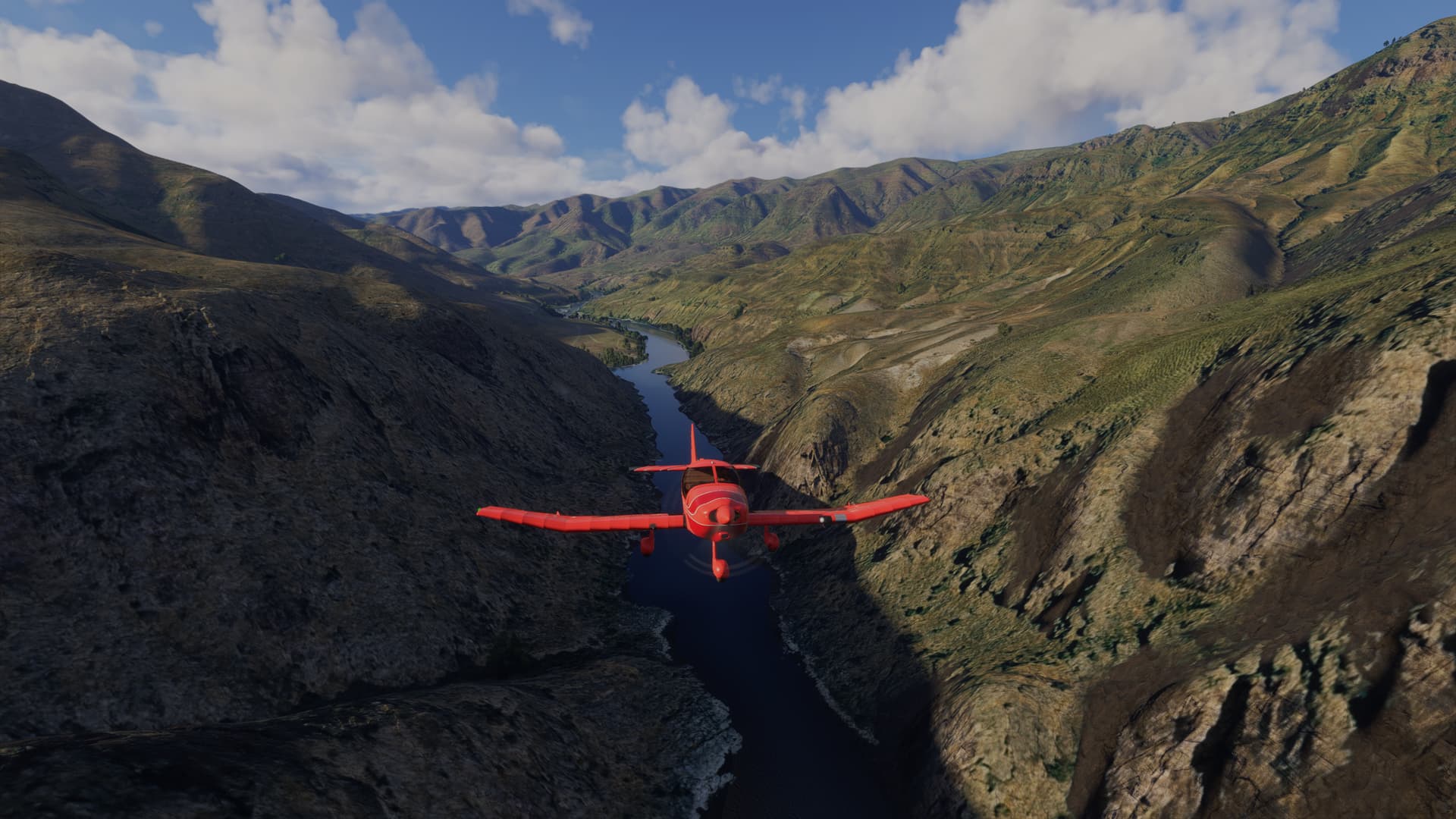
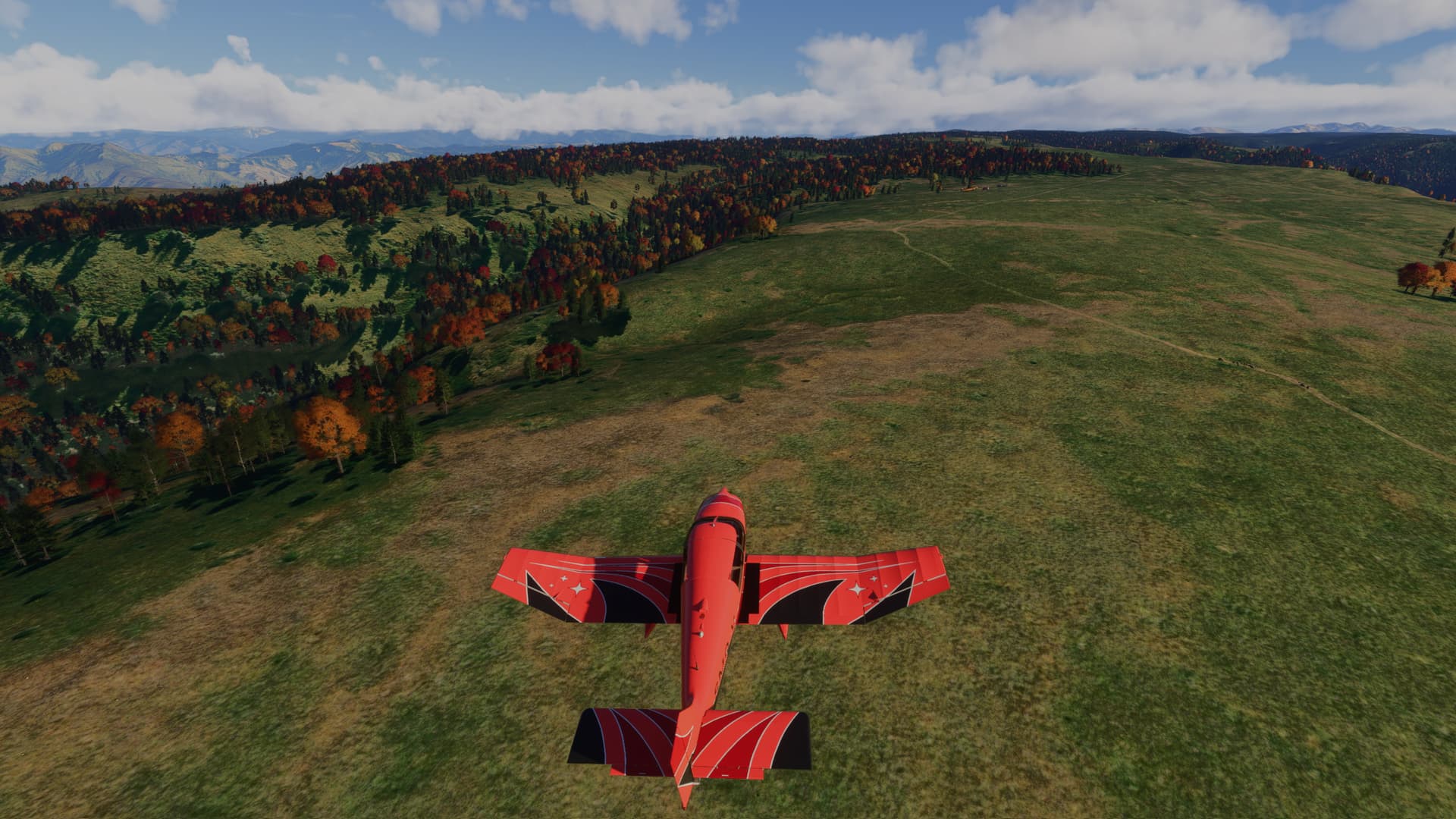
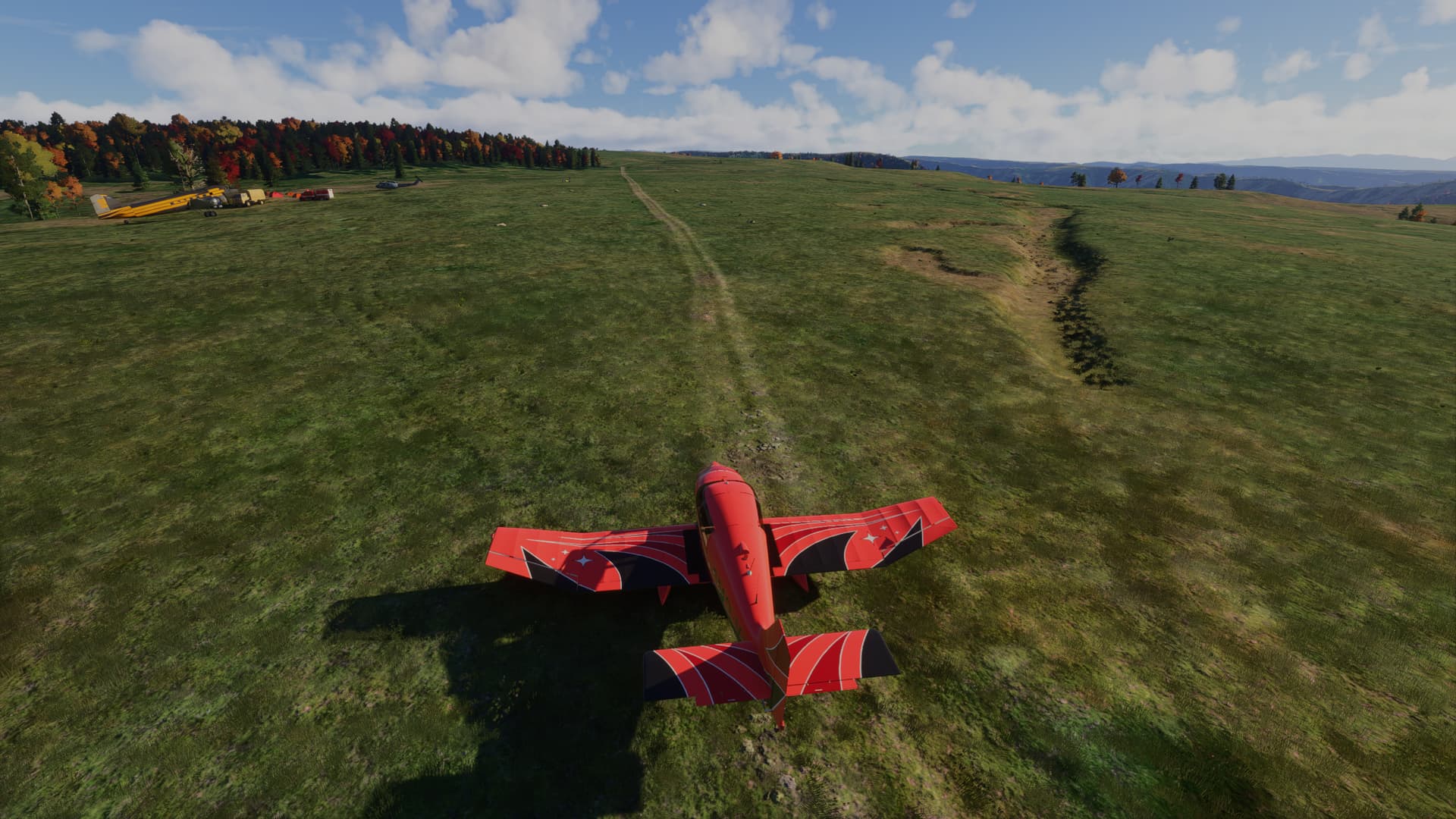
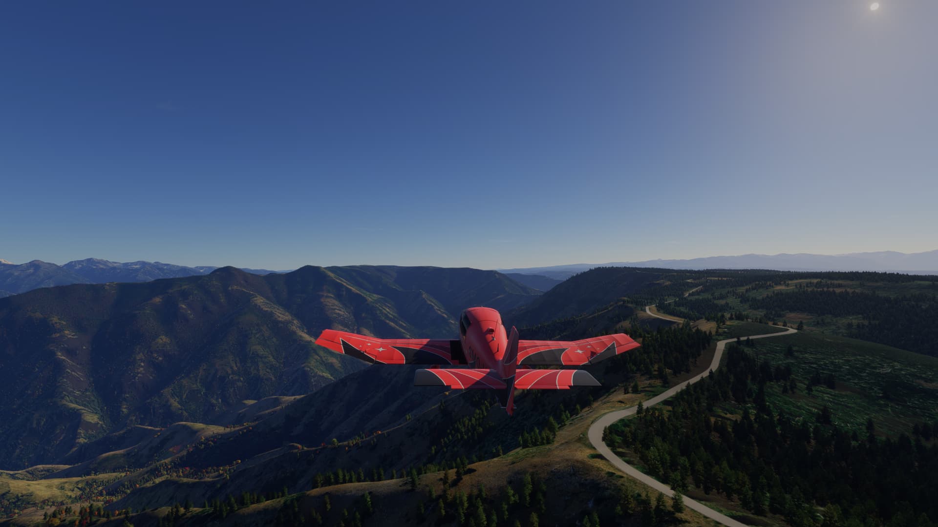
Back in the air again, its a straight run to Lord Flat USFS (OR9), though you’ll need to ascend 4,527 ft to get there:
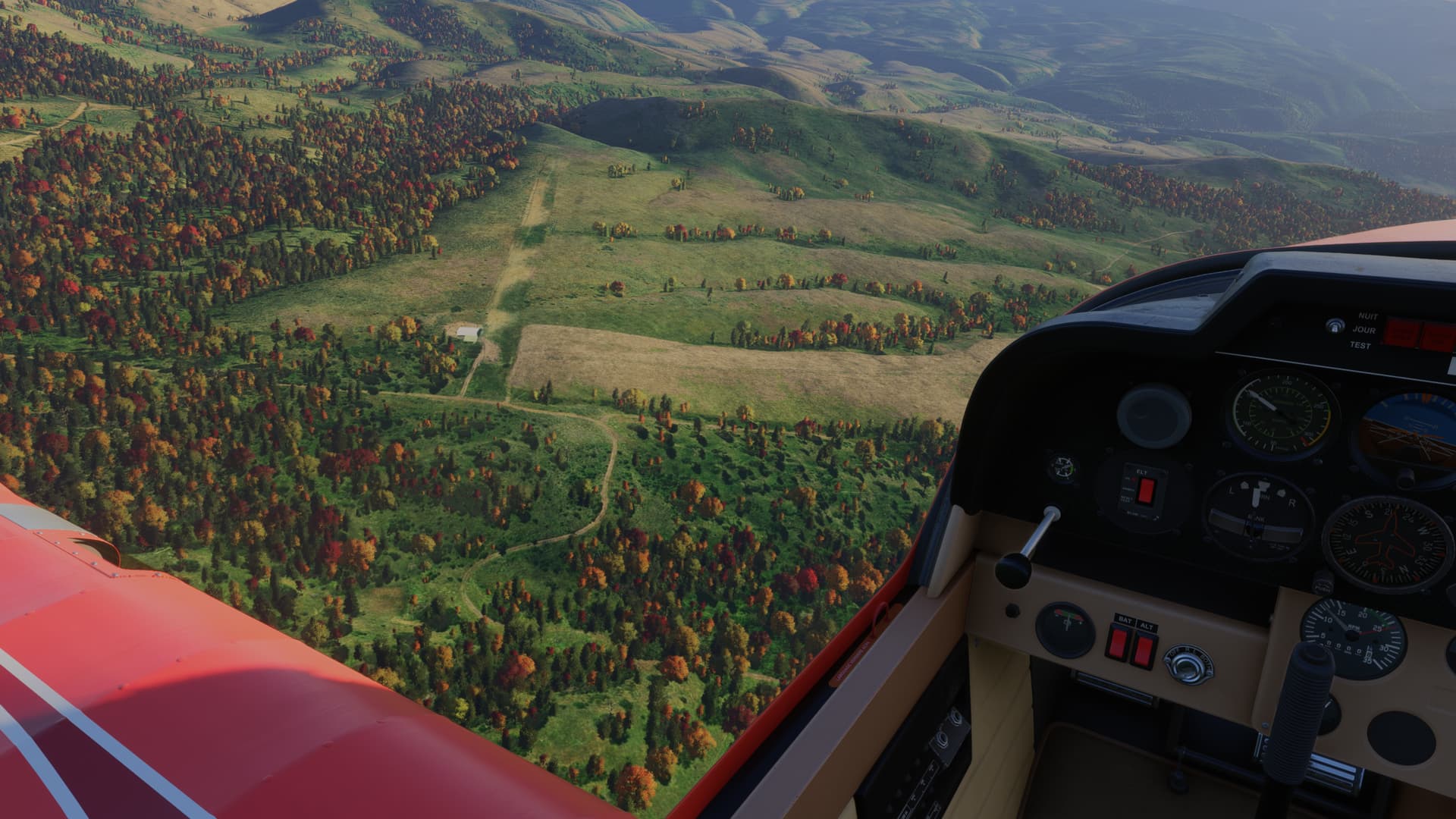
Just follow the dirt track to land at the airstrip:
[MSFS 2024 v1.6.5.0, BijanStudio Seasons Enhanced 2024 v3.1.1, Backwood Studios Hells Canyon Airstrips, live weather]
5 Likes
Section 2: Lord Flat to Memaloose
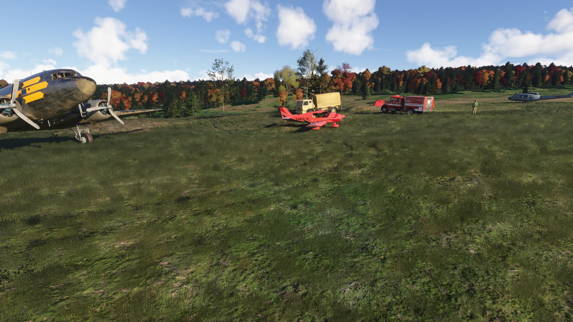
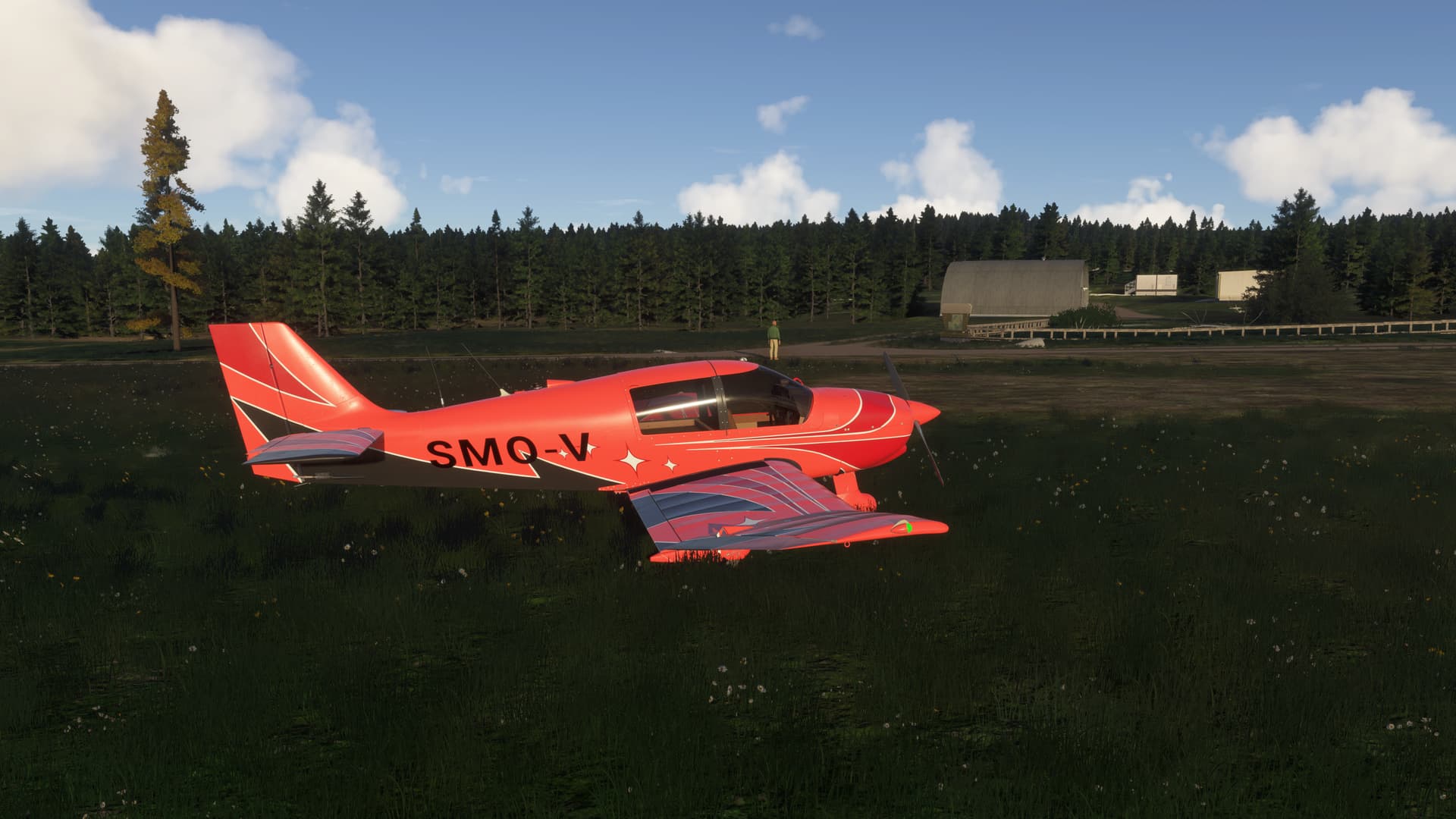
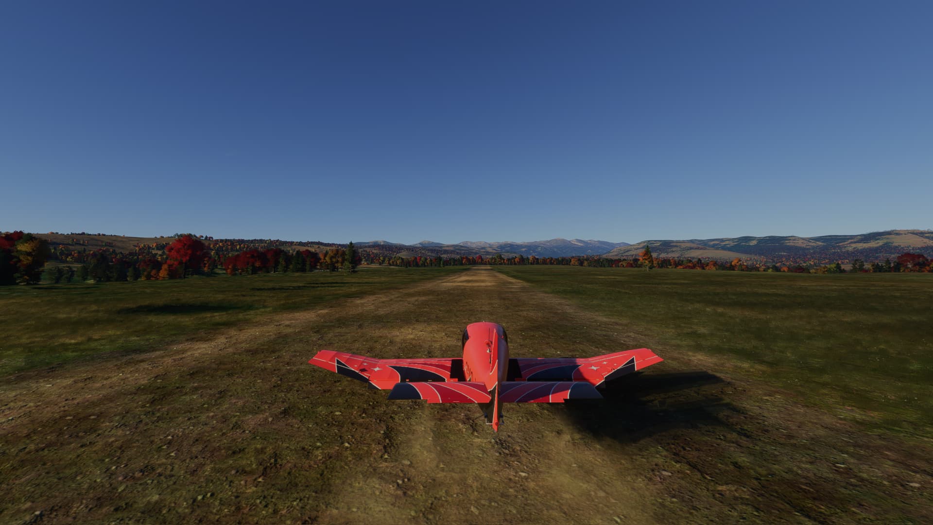
Lord Flat is another USFS airstrip, built in 1943 and popular with hunters:
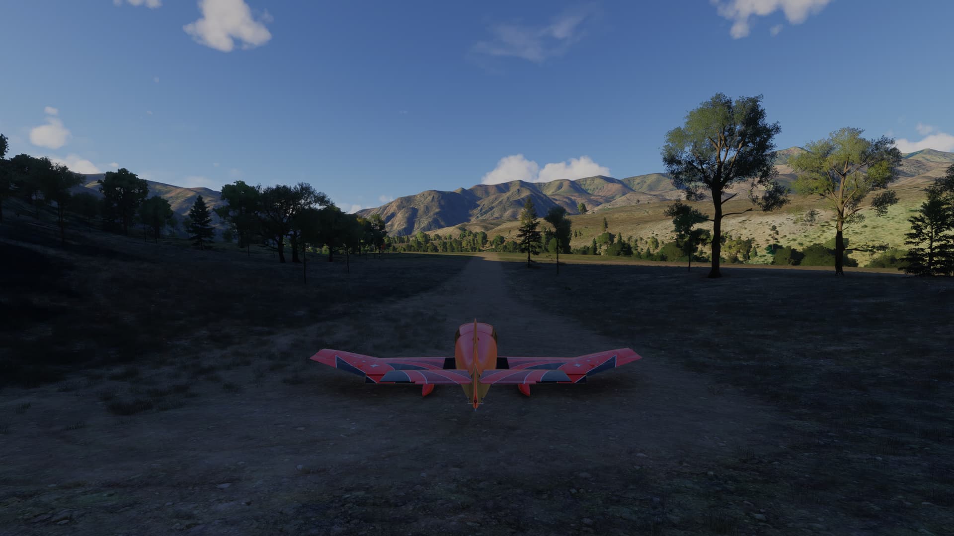
Ready for take-off:
Our next stop is Pittsburg Landing (O29), on the rivers edge down in the canyon:
A fine autumn afternoon:
You can camp by the airstrip, or thumb a ride across the river to get to the campground:
Ready for take-off to Temperance Creek USFS (OR01):
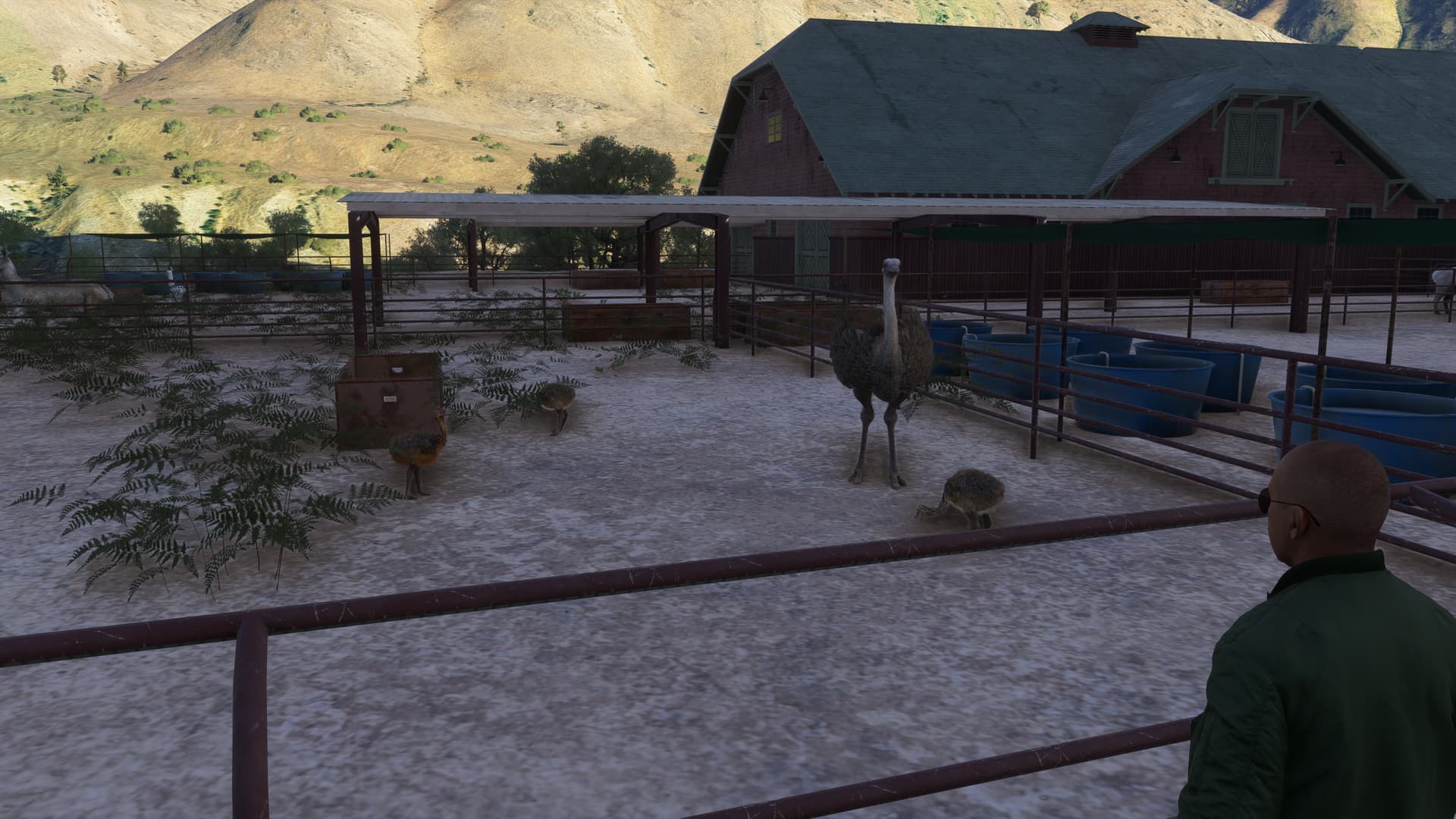
Say hello to the Ostriches when you get there:
Next stop, Sluice Creek (O68):
Then the long climb to the top of the canyon:
And our destintion, Memaloose (25U) :
[MSFS 2024 v1.6.5.0, BijanStudio Seasons Enhanced 2024 v3.1.1, Backwood Studios Hells Canyon Airstrips, live weather]
7 Likes
@SmotheryVase665 Great examples of MFSFS’ potential, and of places to visit IRL or virtually! Thanks for sharing.
Section 3: Memaloose (25U) to Weiser (S87).
We’ll continue from where we left off yesterday. Departing Memaloose:
We descend back into the canyon and head for Oxbow (OR12).
Oxbow is shown as closed (although airnav shows it as open as of 09/04/2025). The runway is in very good condition:
We have now left Hells Canyon, so after departing Oxbow, we bear right and climb to reach our next stop, Seven Devils (ID17), which is just a grass strip on a plateau:
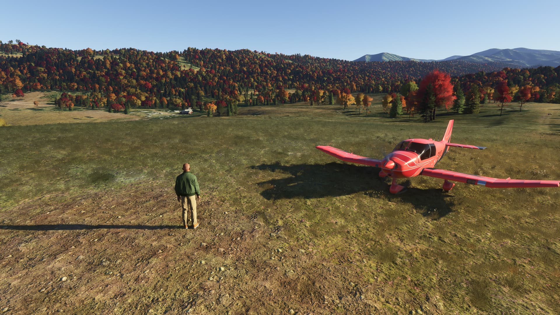
as is the next airstrip, just 4NM to the south - Council Airport (KCOH). Nice views of the fall foliage here:
Back in the air, its a longer run 55 NM run back to the Snake river and Weiser Municipal (S87). Here we are climbing to get past an unnamed peak about 11 NM southwest of Council:
Overflying our waypoint at Cuddy Meadows (ID77):
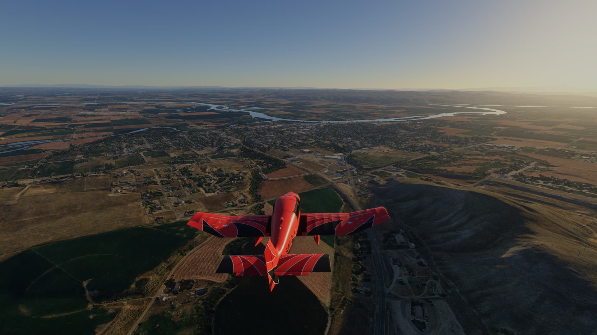
Approaching the town of Weiser on the Snake river. The airport is to the left, on the flats by the river:
Making the turn to intercept Base:
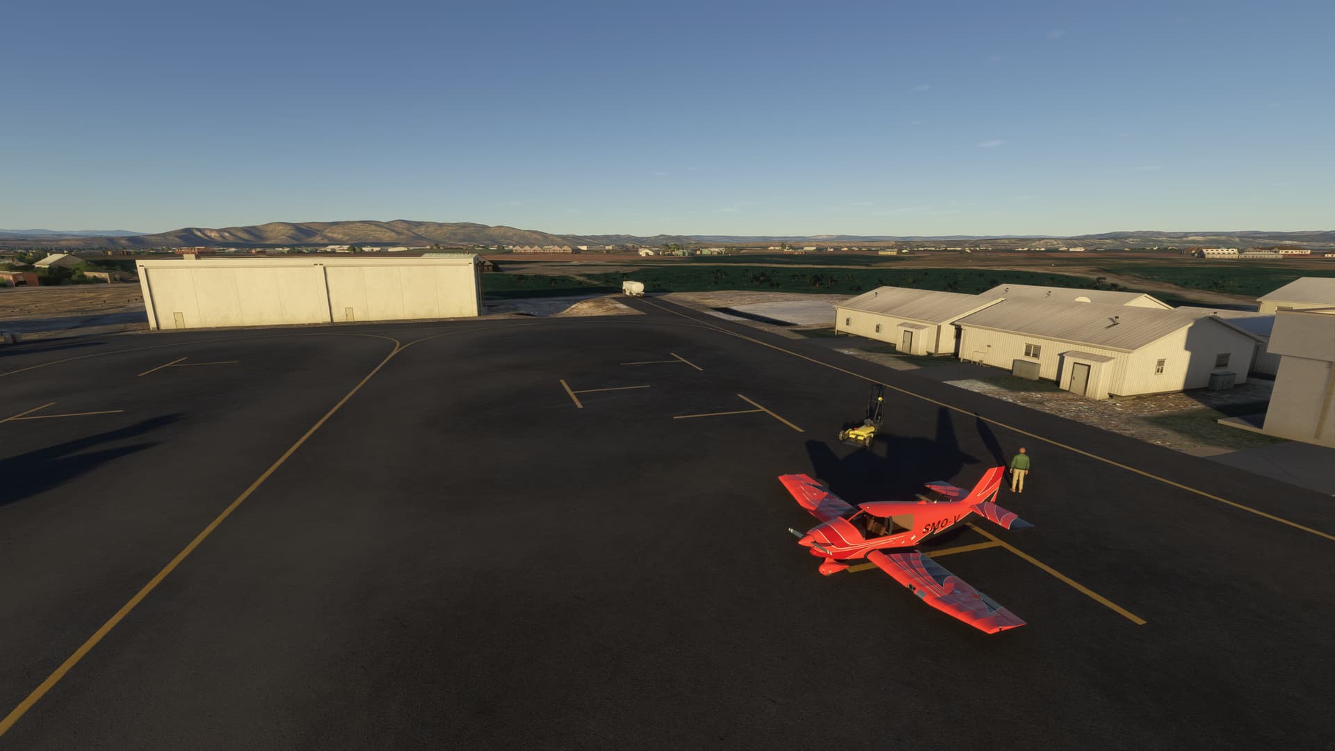
And here we are by the FBO. Another 1hr 11 mins logged in my flightbook:
[MSFS 2024 v1.6.5.0, BijanStudio Seasons Enhanced 2024 v3.1.1, live weather.]
1 Like