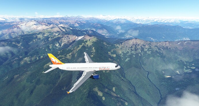
Help: why is the ground textures / photogrammetry so bad on mountains of Bhutan (Paro)? It is possible to see default textures as it was in FSX, I have 750mb of fiber optic internet, ssd m2 2tb, rtx 2080, 32gb ram, i7 10700k and I have MSFS cache enabled. I’ve tried all the LOD options, from 100 to 400 it doesn’t change anything. Can someone test it please?
There is no photgrametry for this region, yet.
And satelite imagery is not the best either.
What you see in your screenshots is mostlikely because there were clouds when the satelite scanned this area.
In this case the sim is generating its own textures so you dont see just white clouds on the ground.
And yes, those defaylt textures are of very poor quality, like FSX.
There isnt much you can do, definitely no in-ge setting will help.
You either wait till there is new satelite imagery of that region from Bing or you search inline for a 3rd party mod that covers that region.
1 Like
now it makes sense, thanks for the excellent explanation. Hope bing updates this region. Can you recommend any third-party mod that covers this region?
