Hi can any one tell me what are the icons on the map on the screen shot here i know the airport ones but what about the rest say MN14-ML14-LS105-ZB302-FL32 and the rest of them
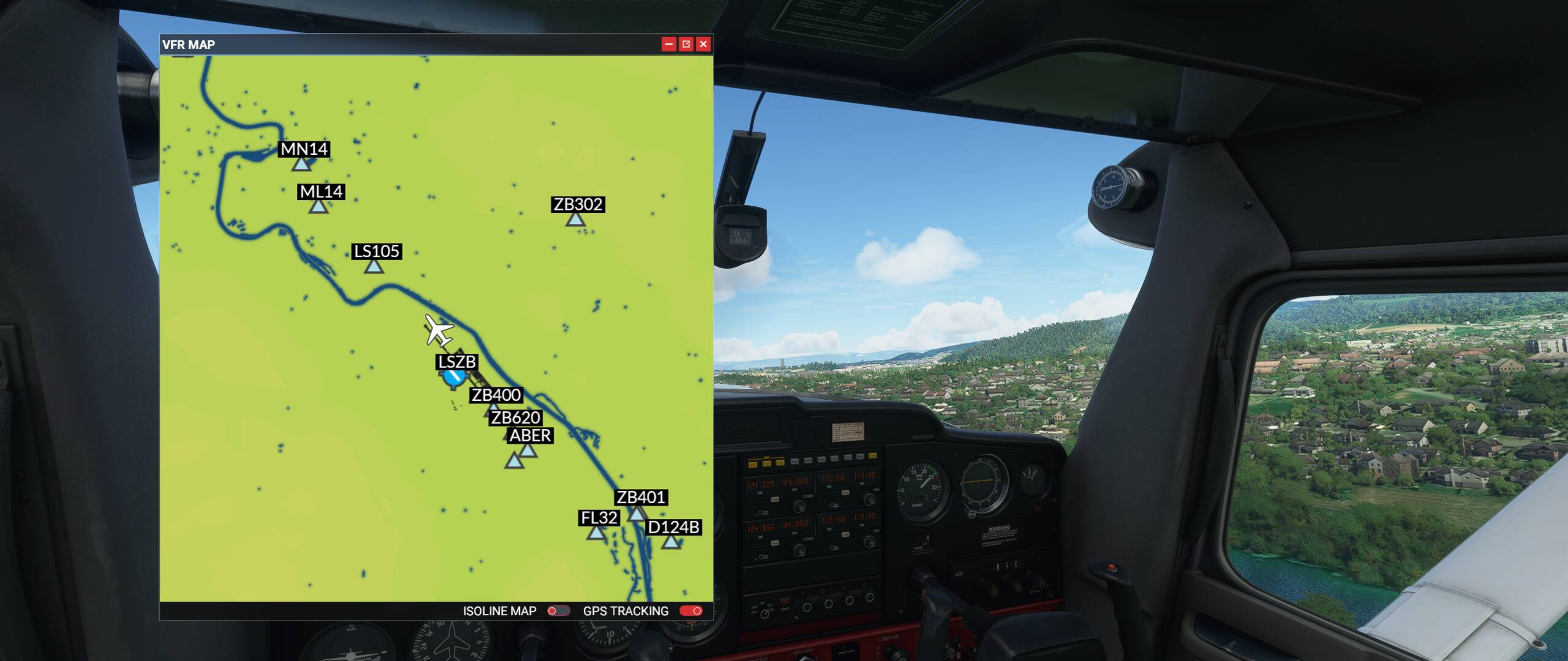
Those are fixes that are used for route planning, RNAV approaches, etc. Very important!
I have a lot to learn, thanks for reply.
Thanks one of the best thing about this hobby. I say hobby because it really is much more than a game. I’m still learning all the time.
Start by using the planning map. Fly some procedures by selecting IFR (low altitude) airways and you’ll see these fixes as waypoints on your flight.
ETA: it looks like you are using an aircraft with no GPS. This may not be as important if you are flying using VOR/radials. If you have no idea what I am saying, check out some youtube videos under “radio navigation”!
Thanks for that will give you you tube a try.
I am still strugling is there any pdf or were I could download any help so I can print it out and have it on my desk. It would be a good idea to have a VOR help in the MSFS learning centre and GPS.
Here is a link to an article that may be of some help:
If you are in the U.S., your taxdollar pays for your free references ![]()
Just do some googling, you’ll find lots of stuff, but here are some basic documents you can use, and a link to skyvector, which lets you see just about anything you want to see as far as maps, charts, navaids, etc.
cug-visual-products.indb (faa.gov)
cug-2017.indb (faa.gov)
SkyVector: Flight Planning / Aeronautical Charts
Think of fixes (there are different types) as virtual points in space, used in both High and Low altitude IFR and other procedures. Basically just to say "ok, here’s a point in space that I want to define along a route from, say, one VOR to another. During that route, I can use these points to define where an aircraft should be along that route. Say you run a 118 degree radial off a VOR to the next VOR. At certain ponts along that 118 heading, I also want you to be at certain altitudes along the way. The fix can be set to say you will be at a certain lat/long at a certain altitude, heading, airspeed, and so on and so on. So as you look at an IFR chart, think of it as roads, because that really what they are. Low altitude are highways, and High altitude routes are interstates. That’s the way I think of it anyway. And fixes are used to keep you on that road you should be on, driving the speed limit, and makeing the turns, altitude, and speed changes you need to make to get you to your final destination in an orderly fashion. Because you are IFR. Most of the time you are still also VFR (you can see around you) but technically you are flying the same way as if you were totally whited or blacked out.
This topic was automatically closed 30 days after the last reply. New replies are no longer allowed.