Help with Software, Vatsim, what are people using?

What I can offer now with VATSIM as my recommended and best option,

I use PC for only msfs and NTB for Vatsim client (also vroute, Navigraph charts, weather web,…) with voice comm channel. On sim PC is also vPilot running but as next Vatsim app to also on NTB vPilot for only voice comm, I don’t stress sim PC with voice over vPilot, it is on NTB but cooperate with vPilot second app on sim PC perfectly. Try check vPilot web page for detailed info how to do this, in case you want also this solution. I recommend this as MUST!

1 Like

Yes.

I use Navigraph Charts to make my Flight Plans and use it to export the Plan to FS2020.

3 Likes

Ok so do flight plan in navigraph itself, skip SIM brief, then export file to MSFS correct?

Upload this flight plan to Vatsim via vPilot for Vatsim correct?

Don’t use comms through vPilot but instead use it through NTB correct?

Check vPilot webpage how to connect vPilot with NTB?

Now questions,

Vroute does what?

Now my navigraph map is going to be my main real time view of my aircraft on the map on my tablet to show where I am correct?

Please let me know if I have your above steps correct please, thank you

Yes I will thank you

Yes it looks like I will be doing it this way too, your navigraph flight plan shows where you are in real time in the map correct?

You asked about companion software.

Companion software I use

MSFS Mobile Companion App

MSFS Mobile Companion App » Microsoft Flight Simulator

FS2020 BMAP

FS2020 – Utility FS2020BMAP – Welcome to Perfect Flight (fs2000.org)

and I use LittleNavMap to make Flightplans and also to check things during the flight.

1 Like

Ok thank you I will look into these two also, I am making a list so I will download all of these and work out the best to cover each purpose, thesis for your reply

Please note that I am flying the Working Title Cessna CJ4 Jet.
These screenshots are for it only.

WT has made the placement of the Navigraph Charts into the
FS2020 MFD possible. Most other airplanes do not have this capability.

1st screenshot. The 3 Navigraph Charts
(departure airport, cruise and arrival airport)
You can select the one that you want to display on the MFD.

2nd screenshot. The Approach Chart.

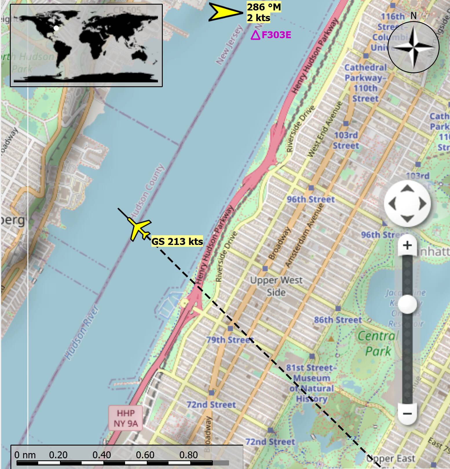
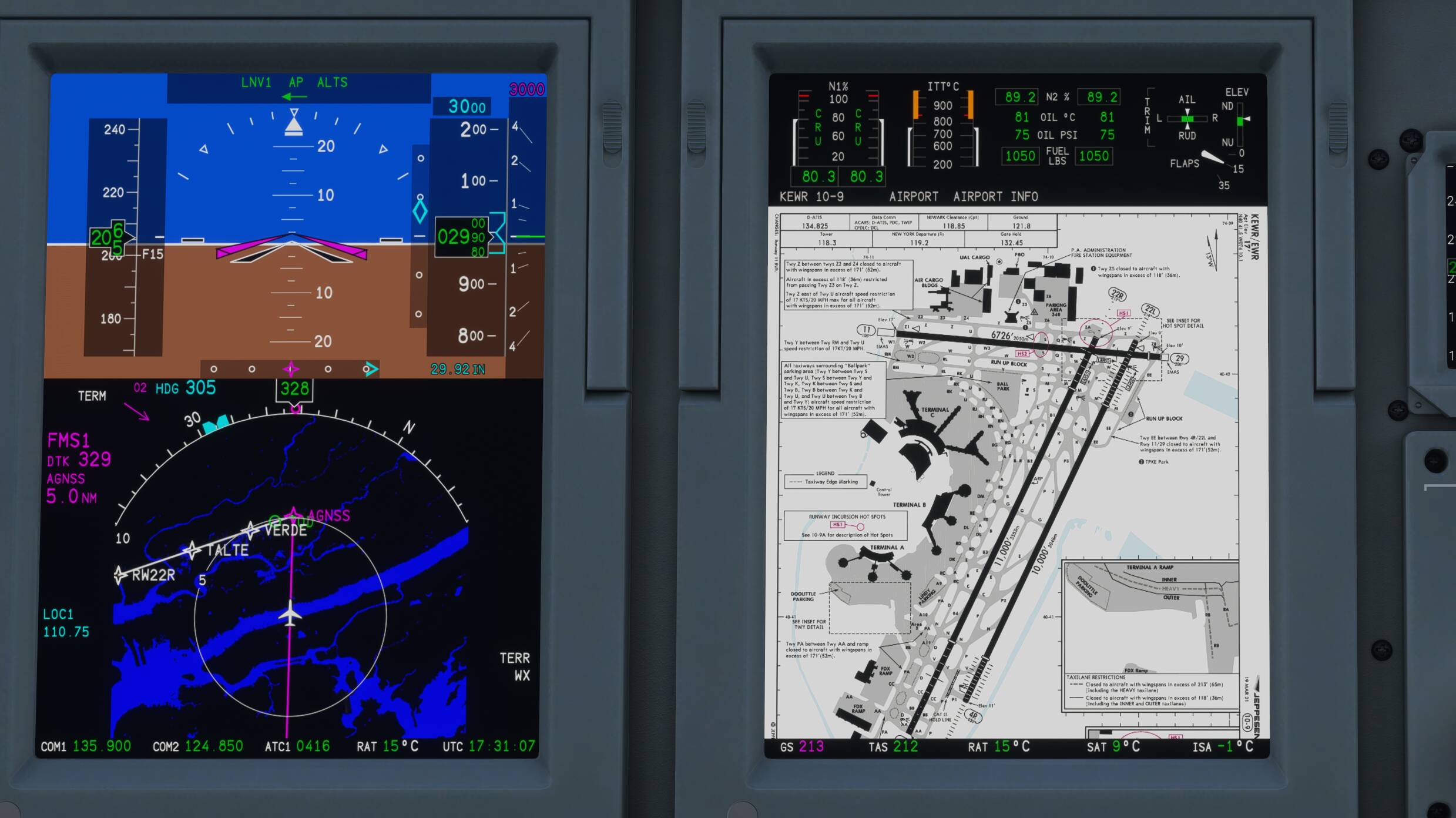
3rd screenshot. Little Navmap 2.6.0.Beta
This is a separate program independant of FS2020 and Navigraph.
I use this application to see where I am on the map (street map).
Here, I just crossed over Central Park in New York City, USA.

4th screenshot. Navigraph Airport Chart

Hope these help you.

1 Like

Hi there, where do I download NTB, and whats the software called please, thanks!

Thats so awesome thank you, so little nav map connects into any flightplan?

is it available for tablets etc?

Very sry to be not clear,

NTB I mean my Notebook :wink:

Ok to your questions,

Ok so do flight plan in navigraph itself, skip SIM brief, then export file to MSFS correct?
A: yes but understand pls that SimBrief is free and only one solution for users to not pay money.

Upload this flight plan to Vatsim via vPilot for Vatsim correct?
A: this procedure you need do manually in vPilot, there are other options also you need set.

Don’t use comms through vPilot but instead use it through NTB correct?
A: yes via my Notebook as second PC with main vPilot app running as also independed voice channel.

Check vPilot webpage how to connect vPilot with NTB?
A: yes in case you want have same cfg as I have - 2x vPilot apps running on sim PC and voice on Notebook.

Vroute does what?
A: as I mentioned already is same like Vatspy and show VATSIM Live traffic with many other good features. Google is your friend every time.

Now my navigraph map is going to be my main real time view of my aircraft on the map on my tablet to show where I am correct?
A: maybe yes, I don’t use this Live Map.

1 Like

One more thing, you need to let us know when you do your first vatsim flight!! Tell us how it goes! :slight_smile:

1 Like

It is a free program that you can download and install in your PC.

It automatically connects the FS2020 and will display your airplane
on its map.

Don’t know about your tablet.
Go to Little Navmap User Manual — Little Navmap User Manual

I didn’t read anything about Little Navmap.
Saw it referenced on this Forum.

Downloaded it and it worked.
Click its ICON on the Taskbar and its Map displays
with the moving plane.

Nothing to learn. It is automatic.

1 Like

Most comments so far and your question was about charts and software. What however is even more important that you a) know your plane and are able to keep course, speed and altitude as instructed by the controller b) know and be somewhat fluent in basic radio communication phraseology. Practice beforehand before logging in. Maybe just log in as a listener and inform the controller accordingly.

3 Likes

YES YES YES, I just wanted to be setup ready to go because I know that what you mentioned is far more important so I can keep focus on those things, thanks so much for this info and I will find a group locally for sure!

Ohhh most definitely!!!

Ok completely got you now, thank you so very much for your answers, I feel a lot more competent and have not even left the ground yet!!

1 Like

I’m about to make my first VATSIM flight. A32NX .. I have vPilot working, navigraph etc.

When I begin a flight in MSFS for VATSIM , how do I disable the MS ATC ? I turned off AI handling it. But I am still hearing the MS ATC..

Does VATSIM handle the pushback also? MS is trying to push me no motion (brakes off).

1 Like

Fingers crossed, I will be crossing that threshold soon, let us know mate how it all went!!