Best to have a look here:
Best regards
Best to have a look here:
Best regards
Thank you all for your replies! Turns out I just didn’t know what to look for but thanks to your responses I was pointed in the right direction and I’ve found what I needed. For me, searching for EBAW or EBBR plates did the trick. I’m now also much more familiar with SIDs and STARs.
If you use an ios device try the AirMate app.
It’s a free full flight planner.
In the US you can get current VFR and IFR charts and all the approach plates… Even terrain elevation data.
It has access to worldwide content that can be downloaded. I don’t know what all is included outside US.
Worth a try.
What app is that? SimToolkitPro?
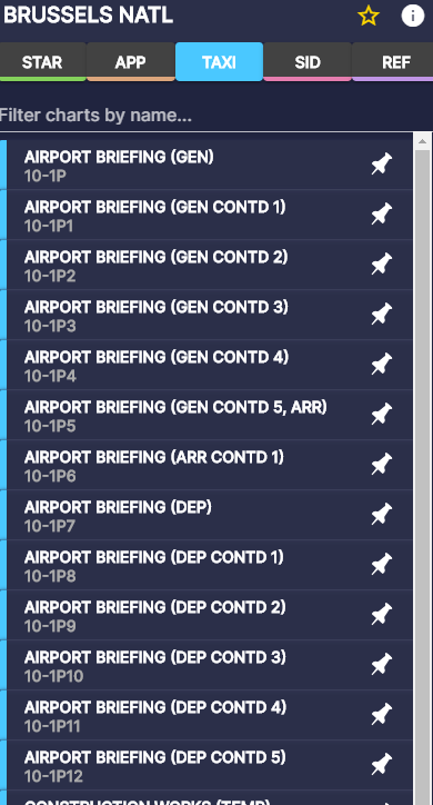
Hobby pilots and hardcore simmers use Navigraph 
Ah. Yeah, was considering buying it.
For a free alternative try the ChartFox. You’ll need a free vatsim account.
Or doesn’t have the nice visualizations, but all the charts are there.
Eurocontrol, the agency that coordinates European airspace, has a planning tool on their website. That will find charts related to aerodromes for most European countries. German charts are only available commercially but most other countries make theirs available for free.
I think you are just using wrong software.
Use real world charts, that pilots use and you will see they are almost the same in europe.
Better use Navigraph. But of course you can use google to find same charts, but they will be pdf, not interactive.
You could create an account for free on ead.eurocontrol and get access to the AIPs for every European country. But indeed for Europe the charts are not in SkyVector and every country has a slightly different layout and not very user friendly. Other option would be a subscription on Jeppesen or Navblue but this is costly.
