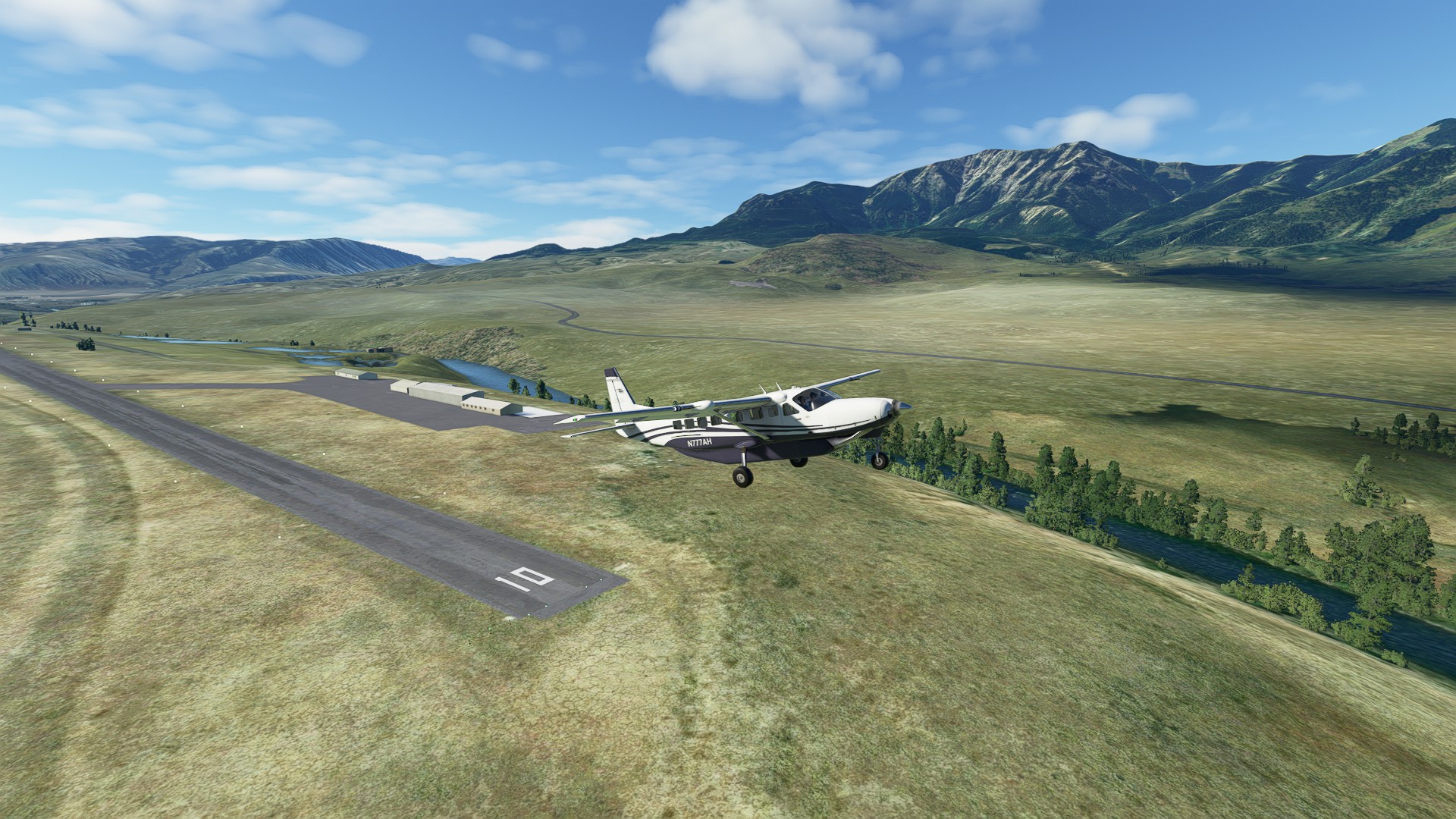
Leg 18: Gardiner (Gardiner MT) to Deer Lodge City-County (Deer Lodge MT)
As much as I wanted to fly this route VFR, real weather also gets a vote. The mountain routes were socked in from peak level to about 15000’ AGL. Had to plot an RNAV approach up the valley just east of Anaconda MT into Deer Lodge. It’s been a while since I’ve done a circling approach. 122 nm 0:52:00 enroute.
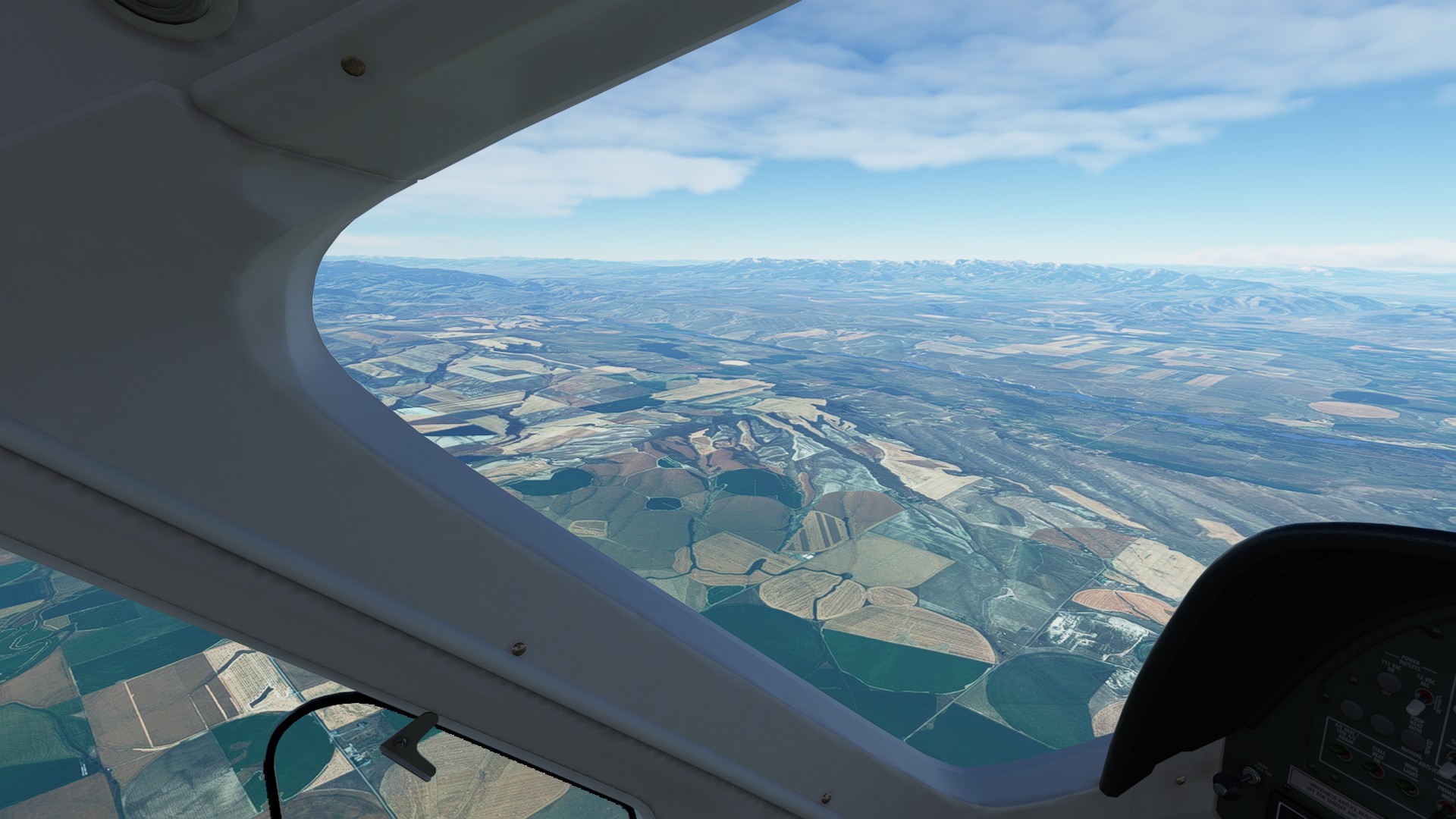
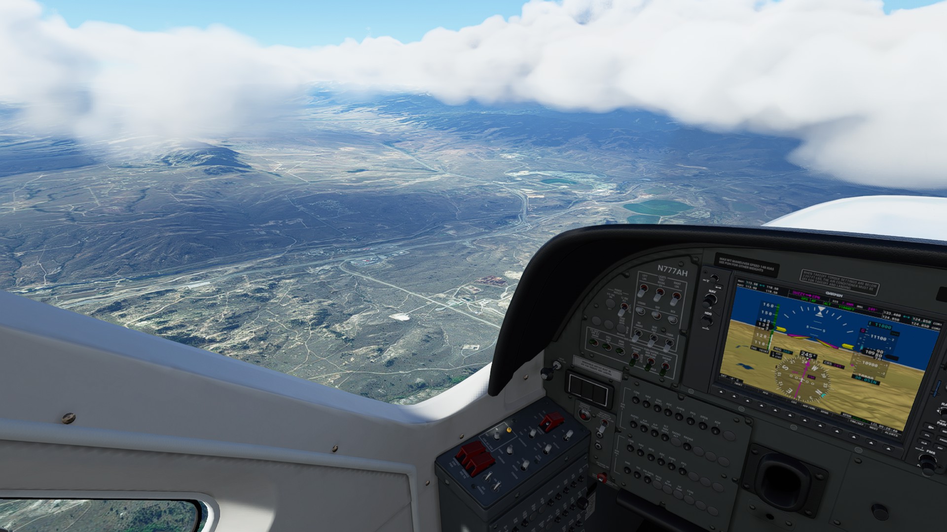
Departing Gardiner, MEA is 12,000’ so a slow but steady climb out of the Yellowstone River Valley to clear the surrounding ridges while we curve Northwest. Thank goodness for Pratt & Whitney! The powerplant never missed a beat.
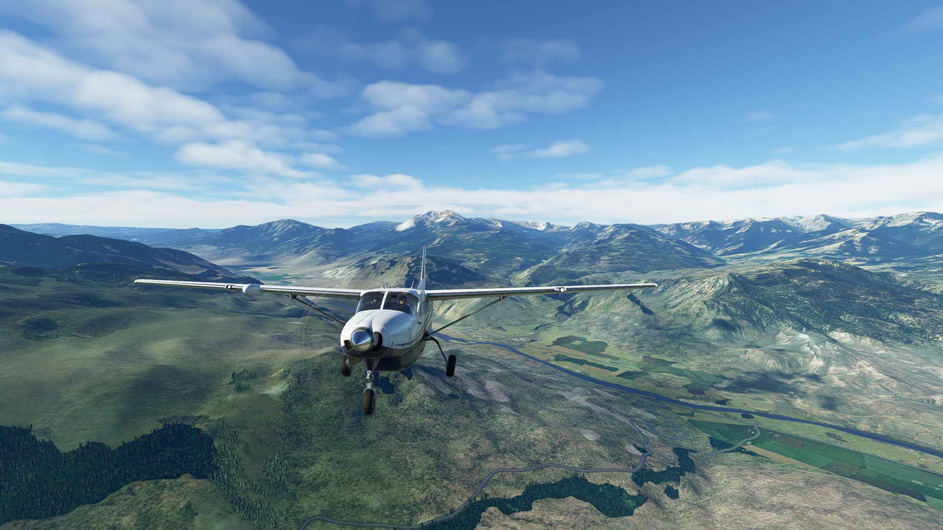
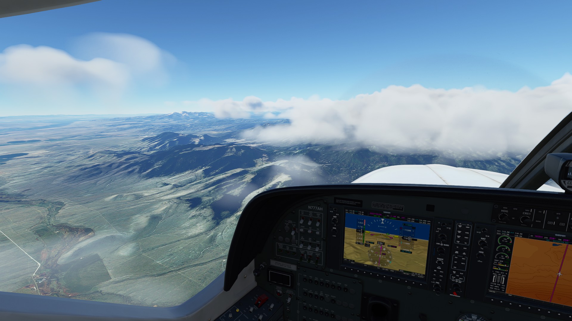
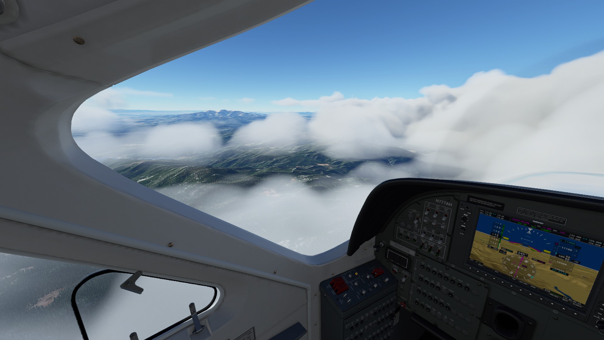
Cleared the ridgeline and passing over Bozeman, MT:
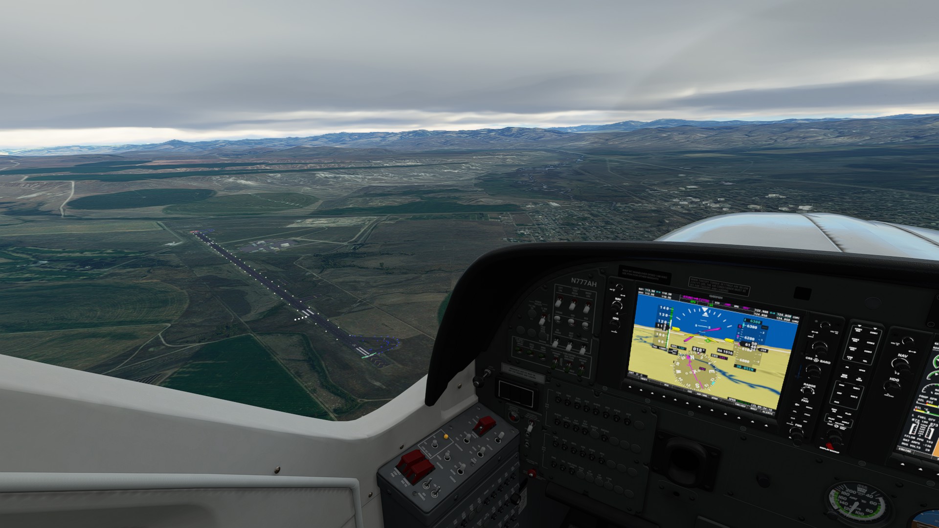
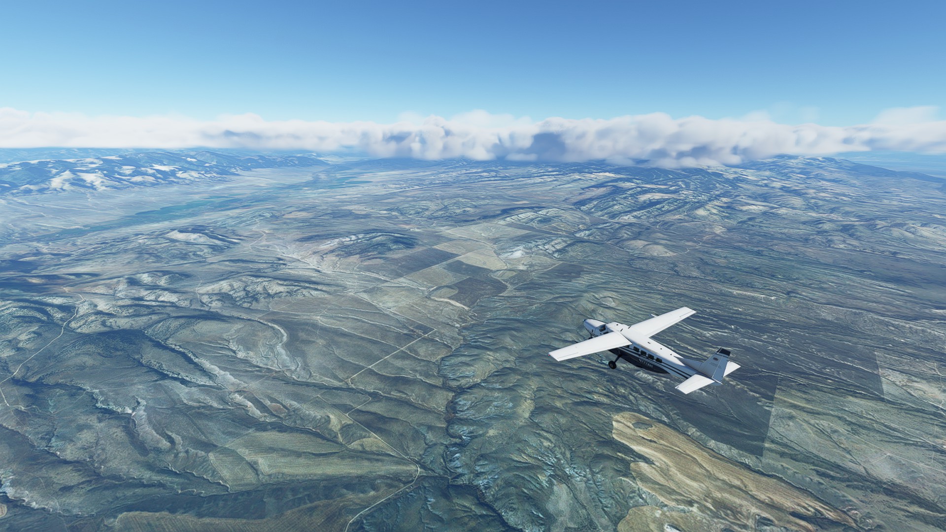
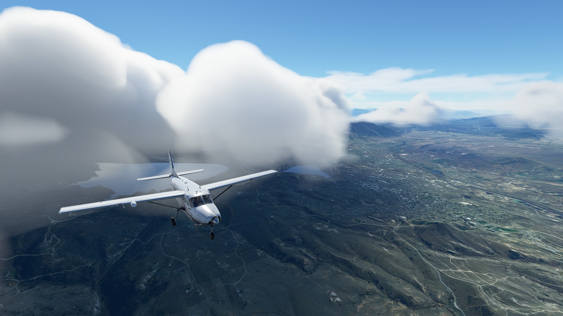
Just enough time to admire the varied terrain below but the cloud base over our transit route is steadily growing bigger in the windshield. I had loaded an RNAV approach into the arrival field earlier - looks like we’re going to need it.
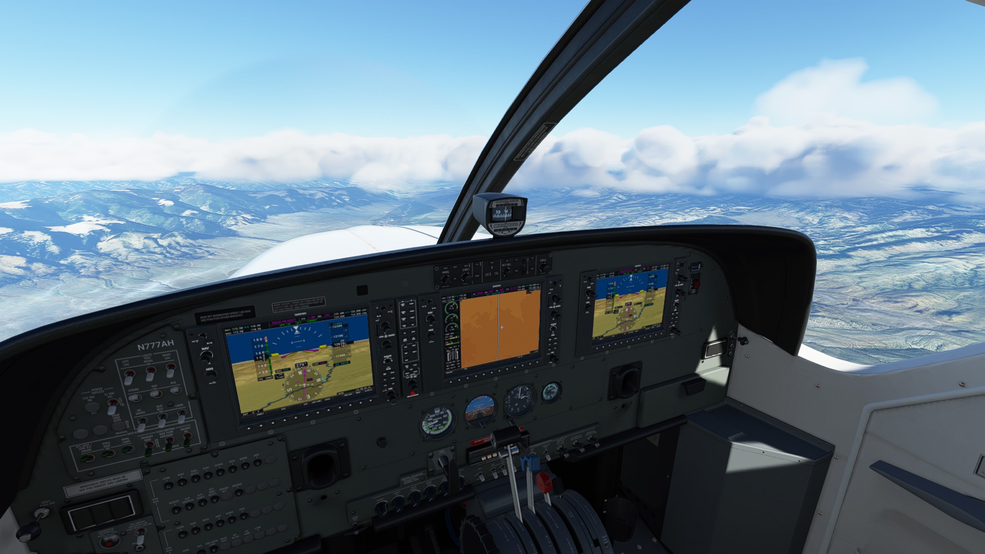
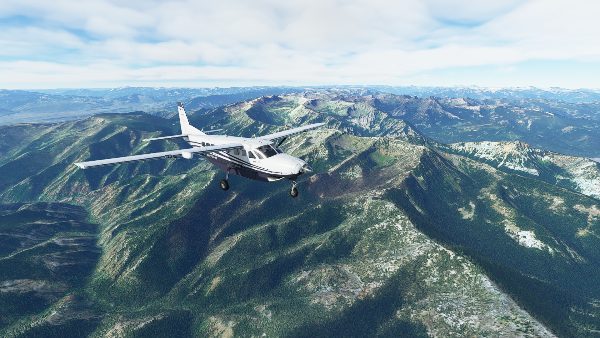
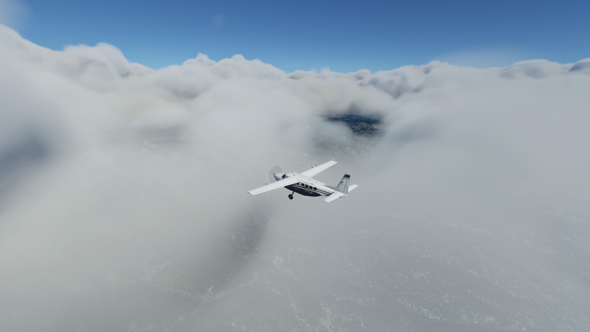
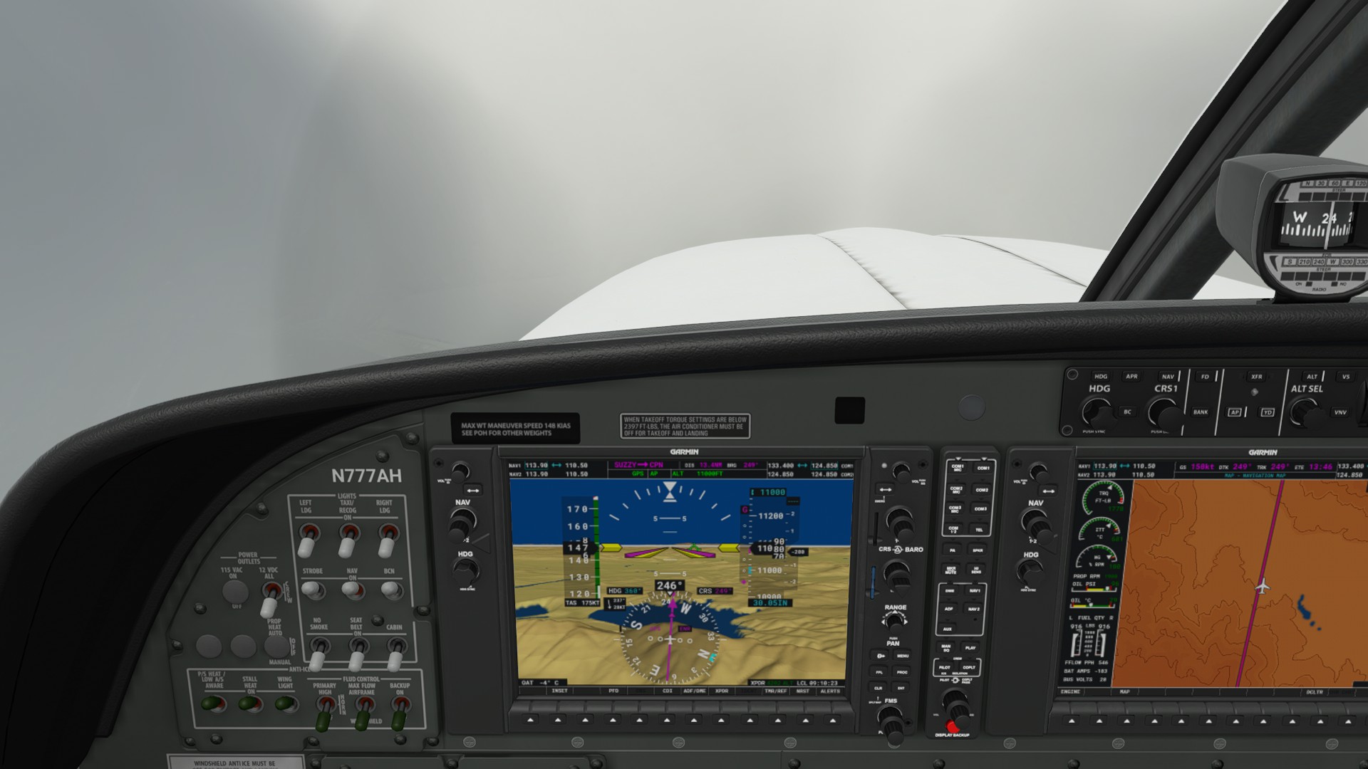
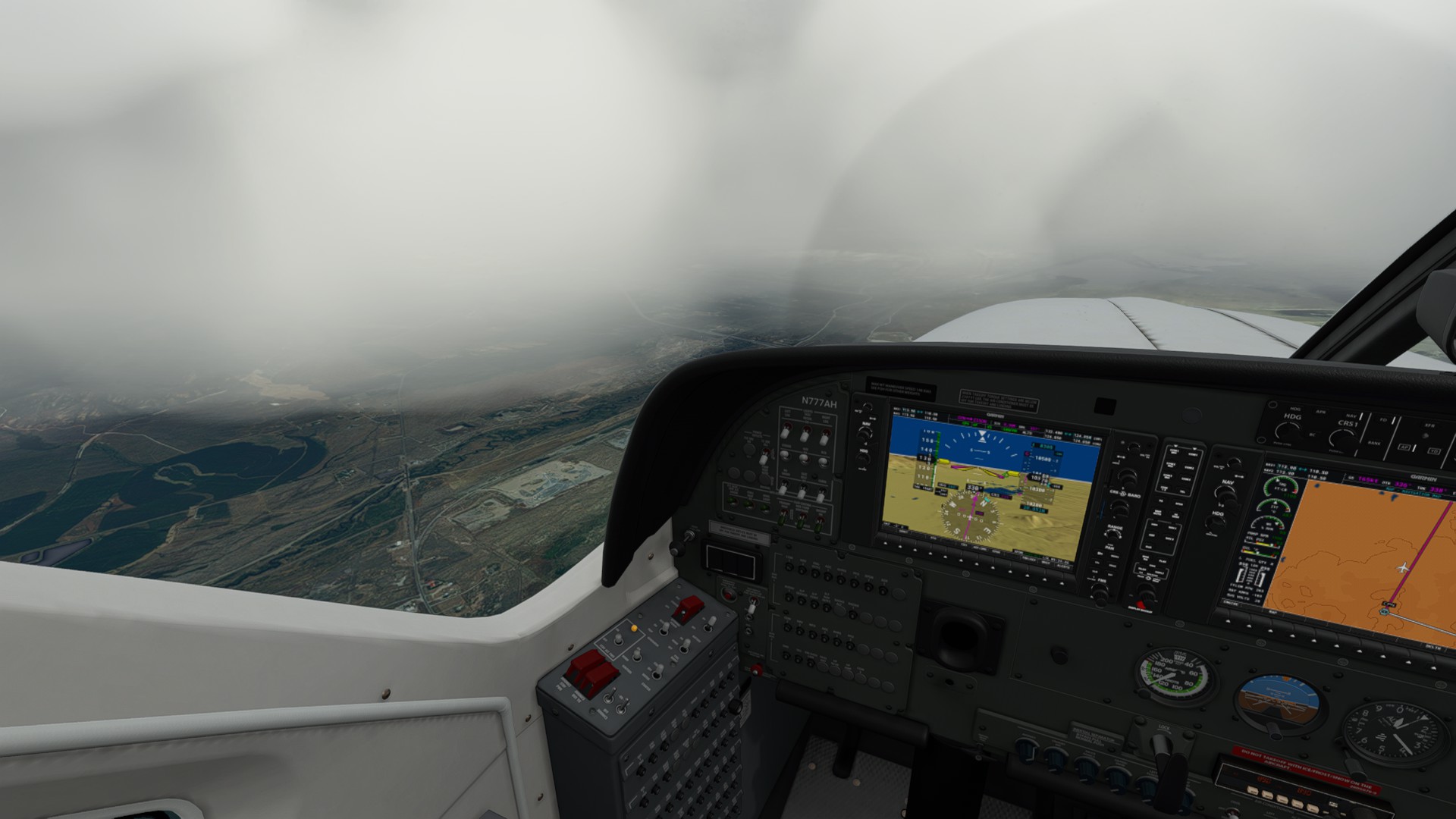
We’re quickly in the soup - transition to instruments and make sure topo curves are ON in the MFD.
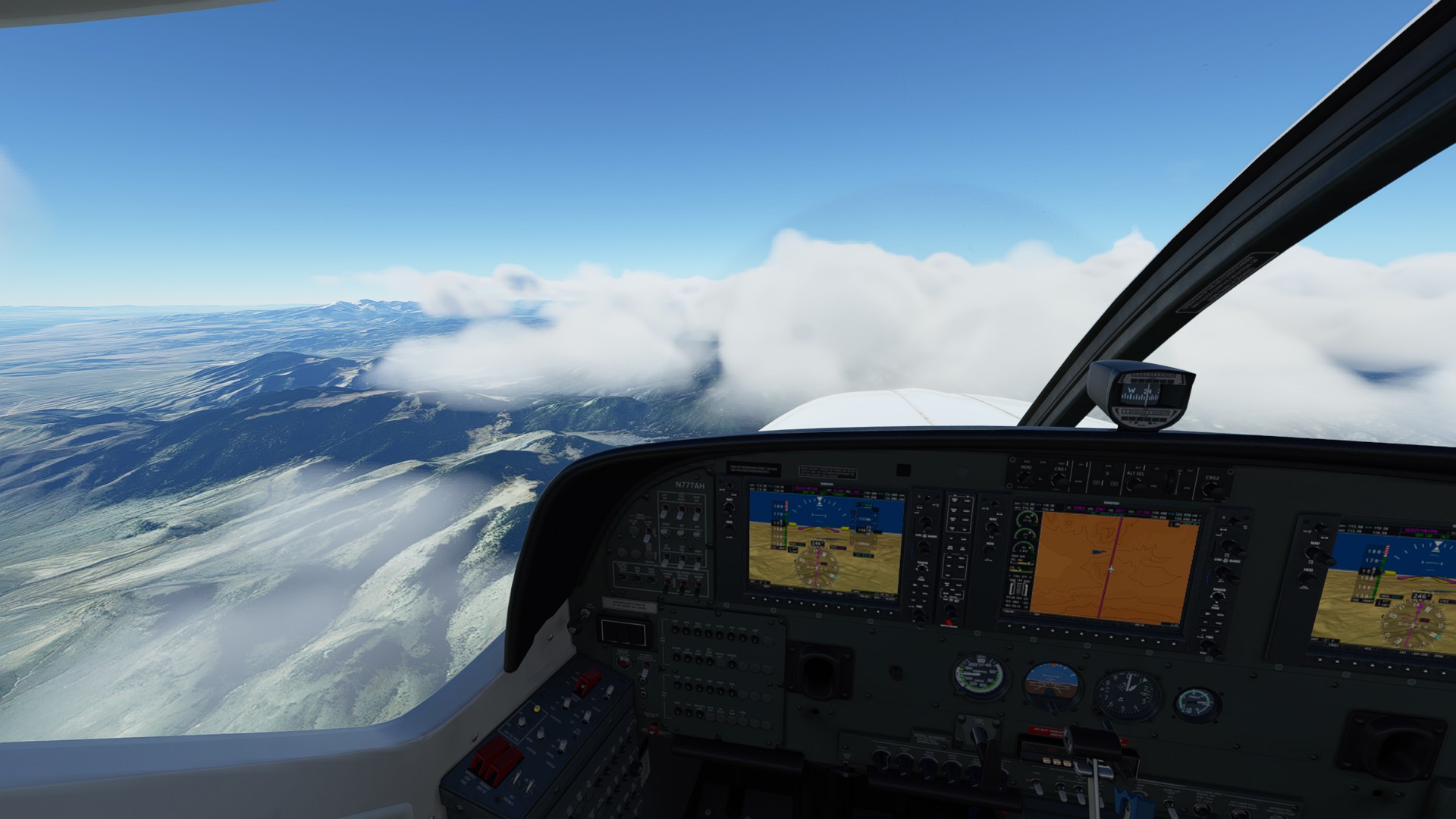
Steadily watching the terrain lines and synthetic vision, I catch glimpses of the sharp ridges reaching out for us between breaks in the cloud cover.
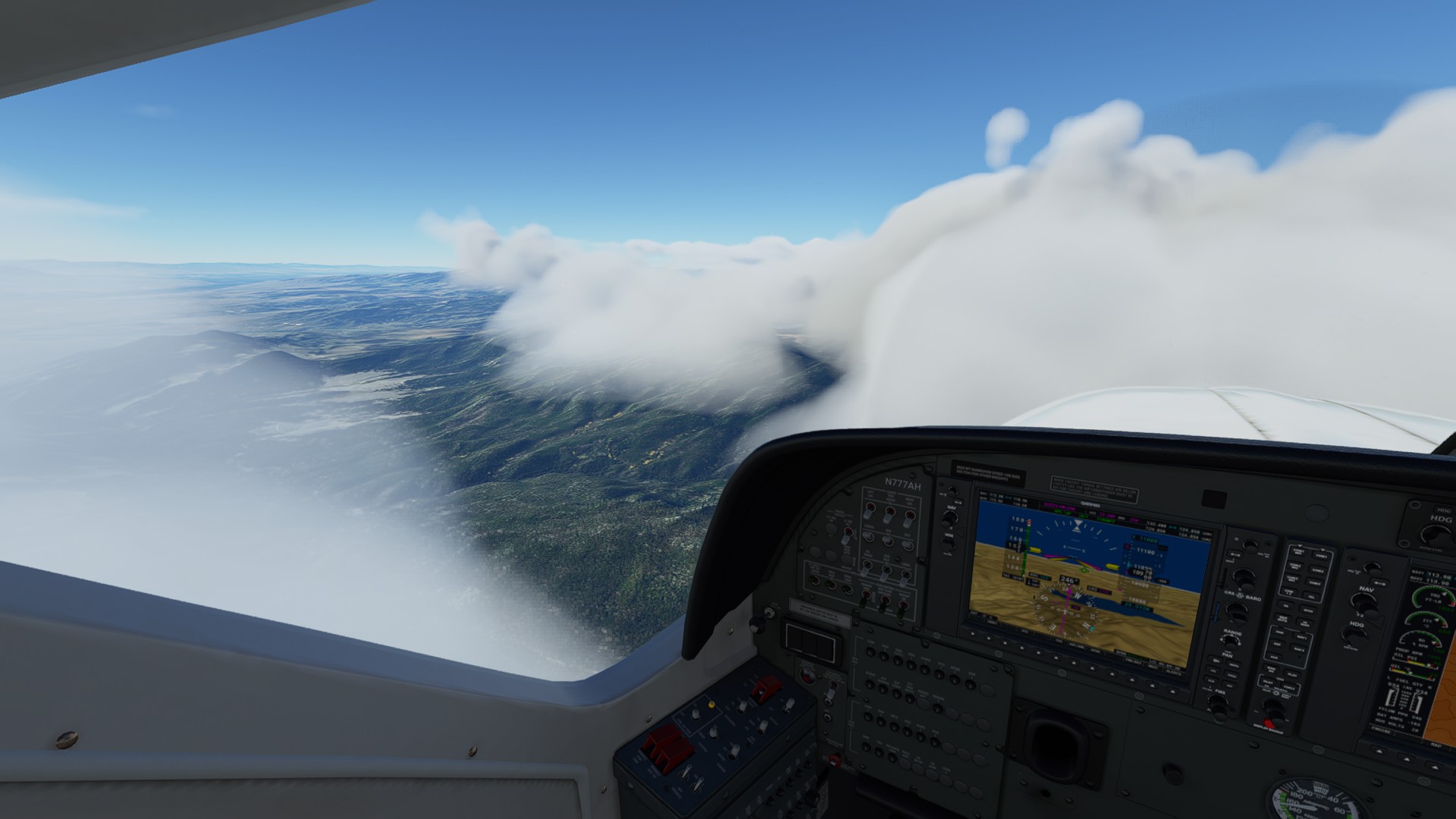
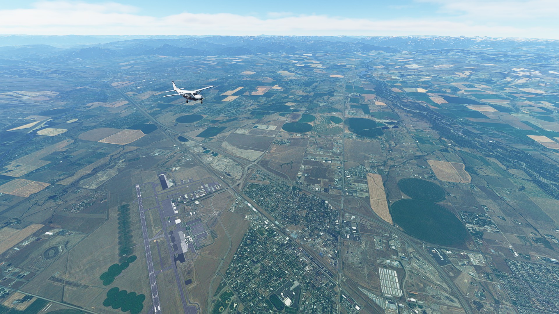
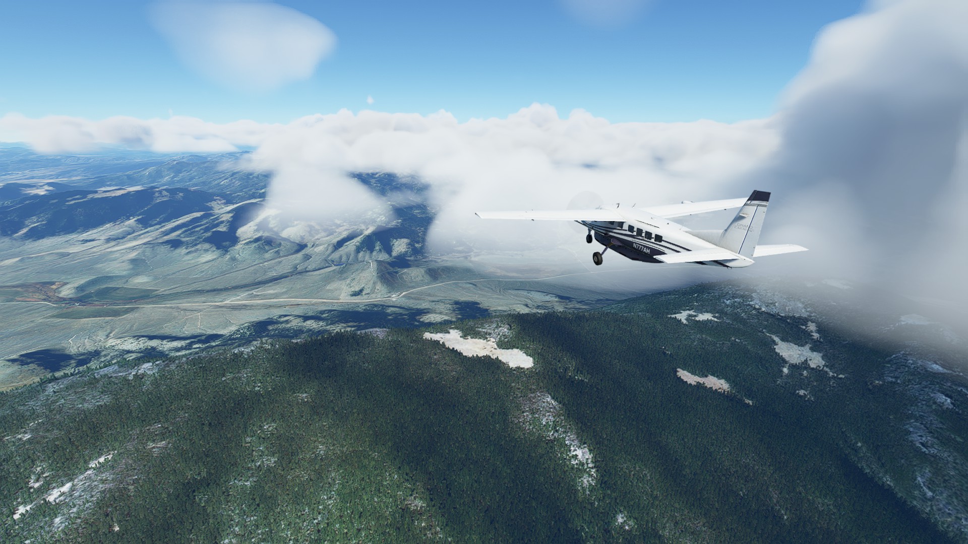
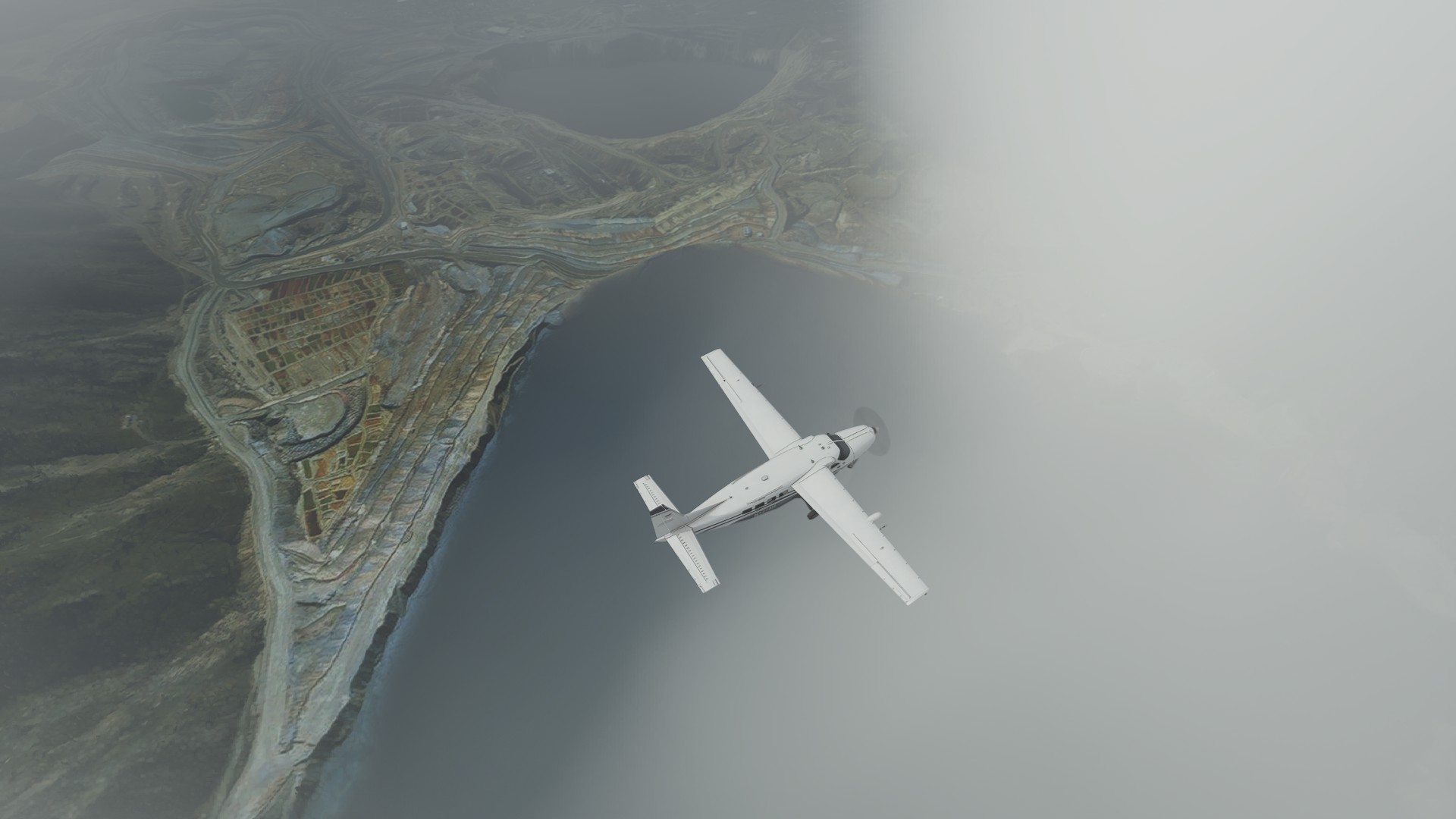
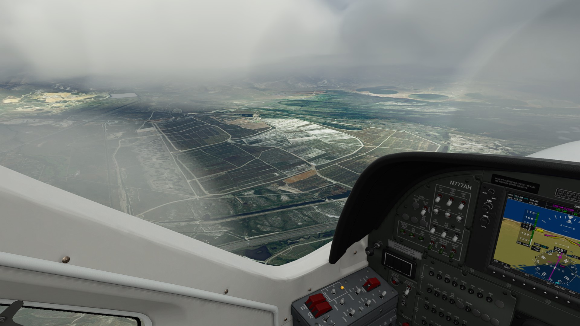
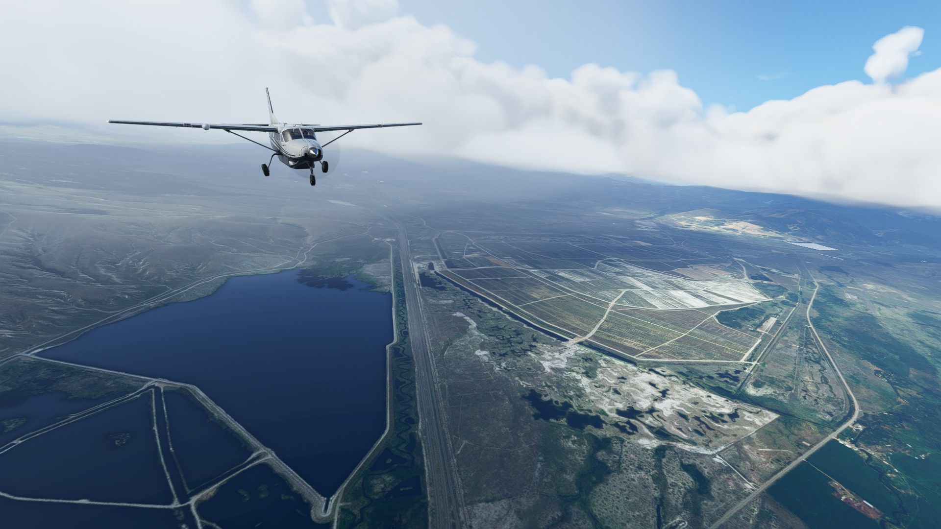
The cover starts to thin out on descent into the valley just over Butte MT - I catch a quick view of the enormous Yankee Doodle Mine’s tailings ponds next to town:
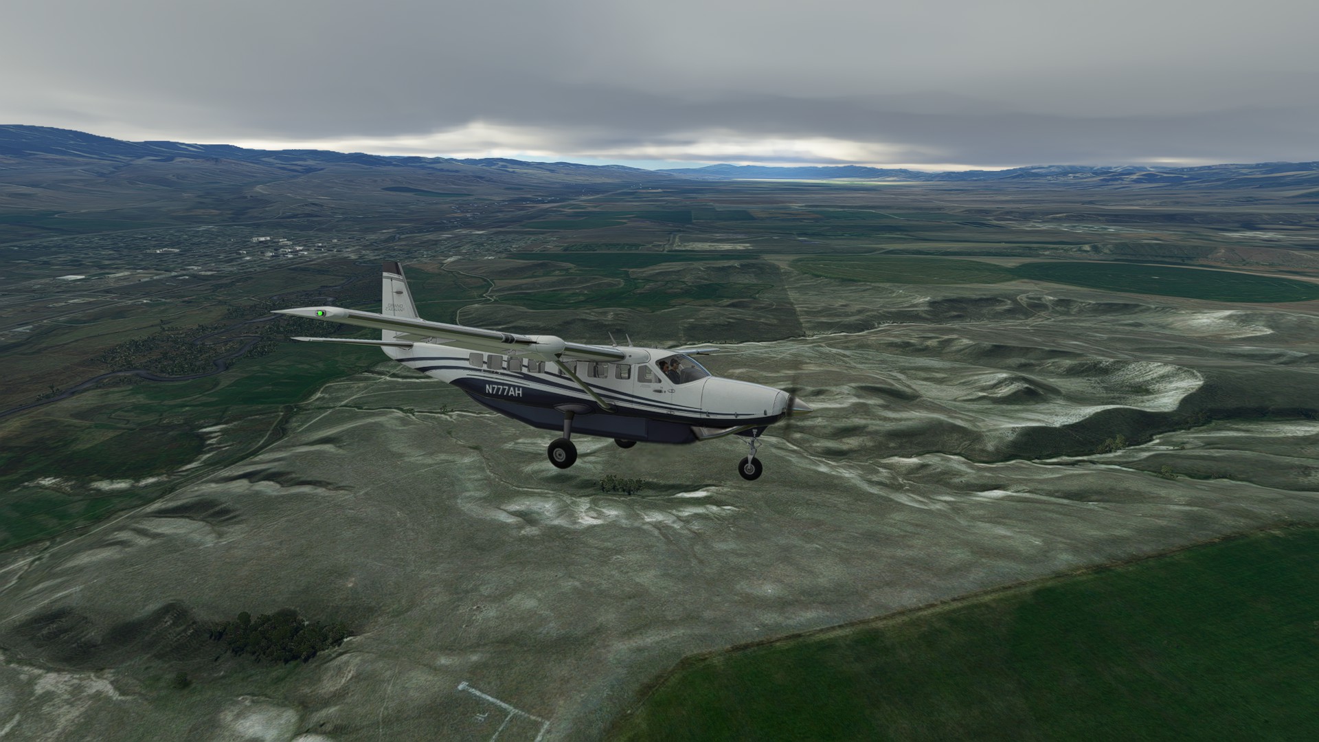
We’re back atop I-90 and under the scud, making a turn north just east of Anaconda MT, the Warm Springs Wildlife Management Area is a good visual checkpoint:
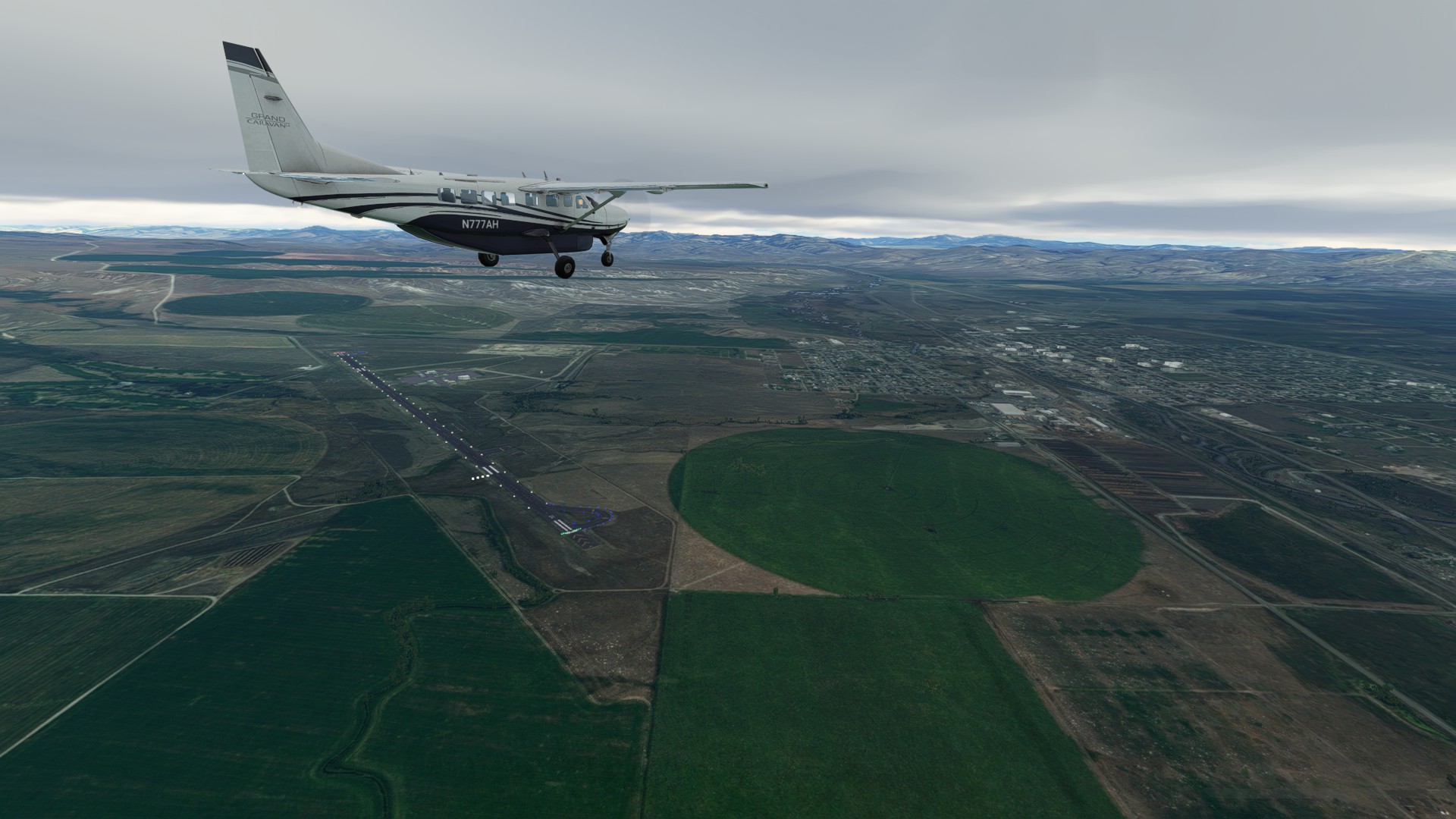
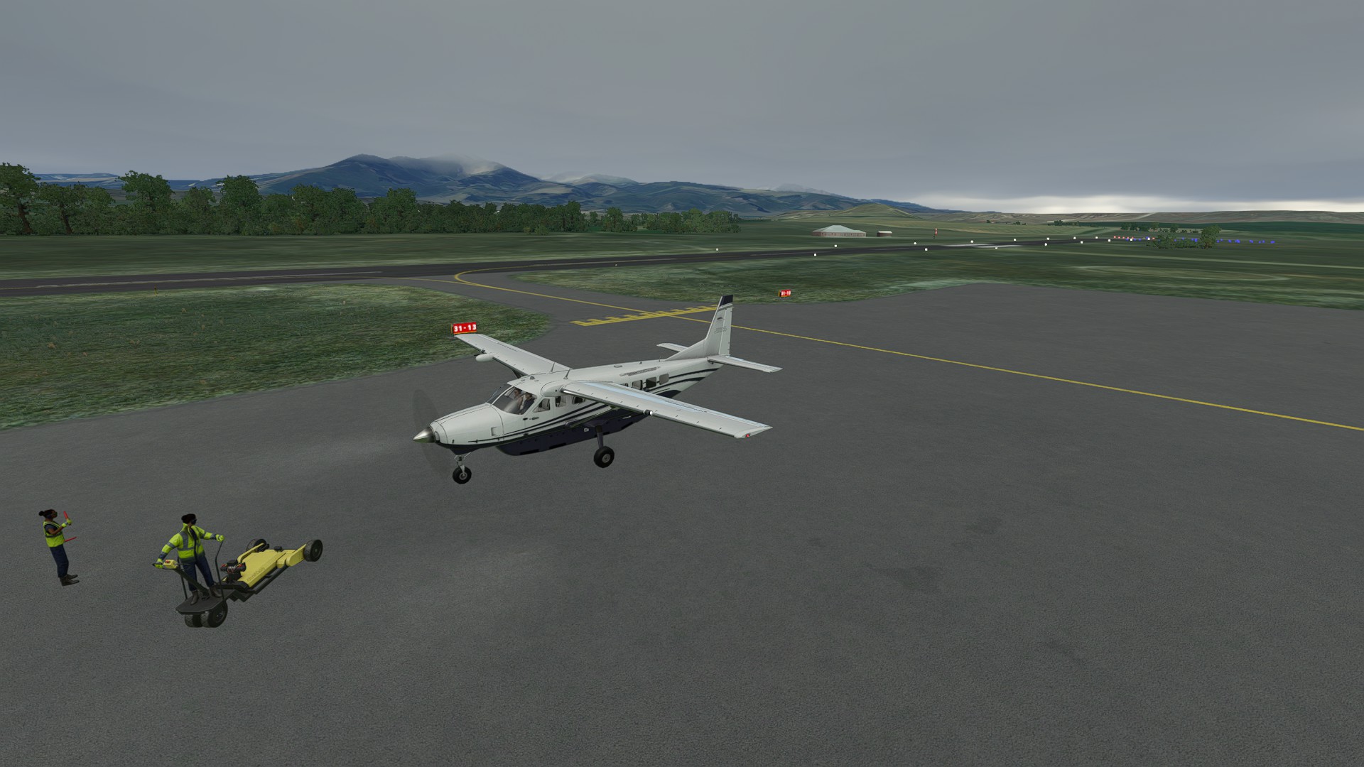
Deer Lodge City in sight, the crop circle at the north end of the strip makes a nice visual aimpoint as I circle for R13.