Leg 1: Boston MA to South Albany NY
Good start to the trip - 133 nm, 0:54:00 minutes enroute. Some low hanging scud all throughout the trip, but gray and drizzly in Eastern MA.
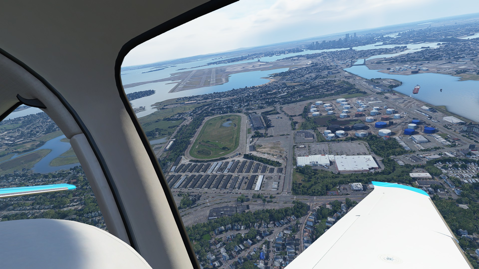
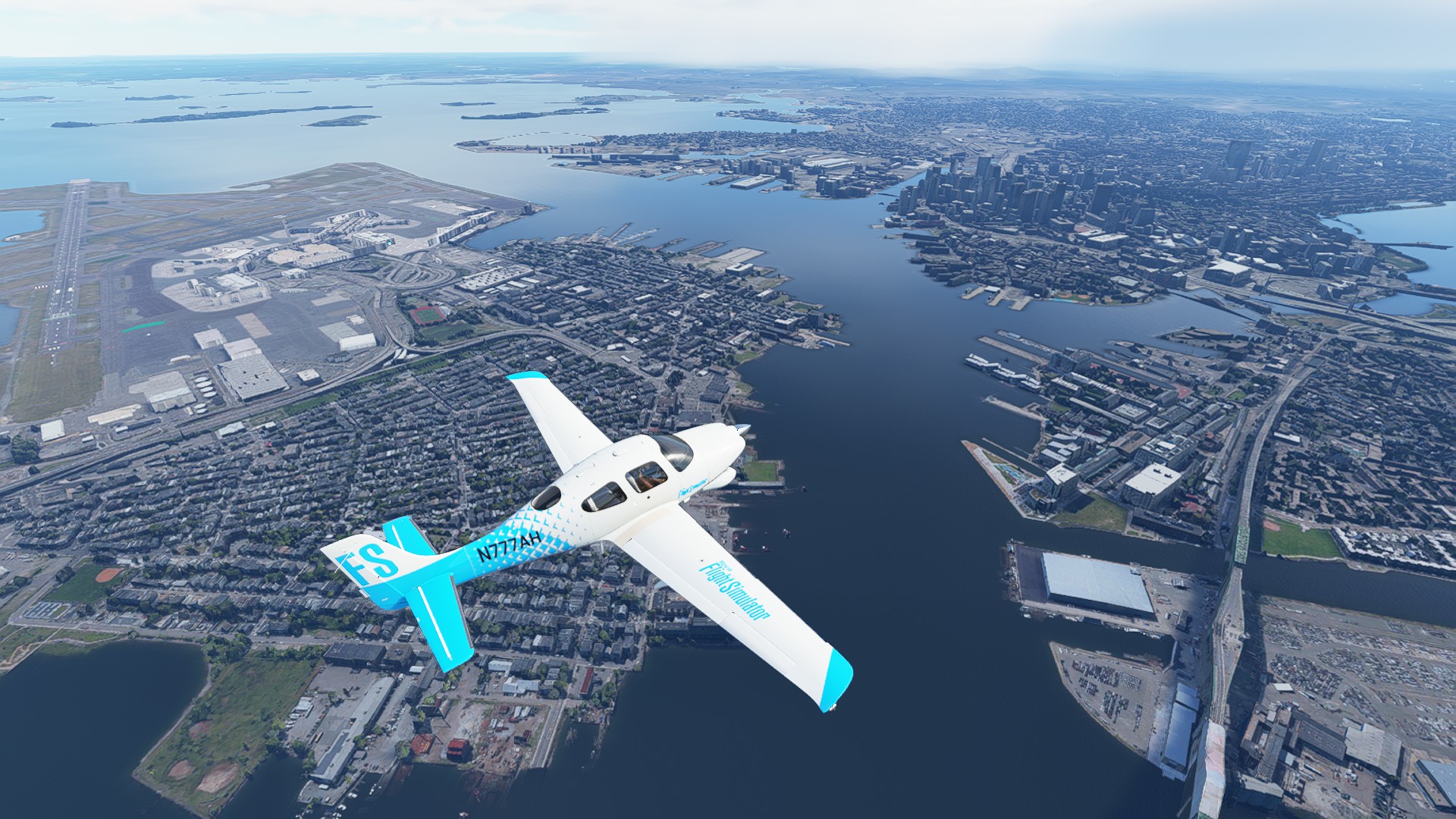
Departing KBOS and views of the city
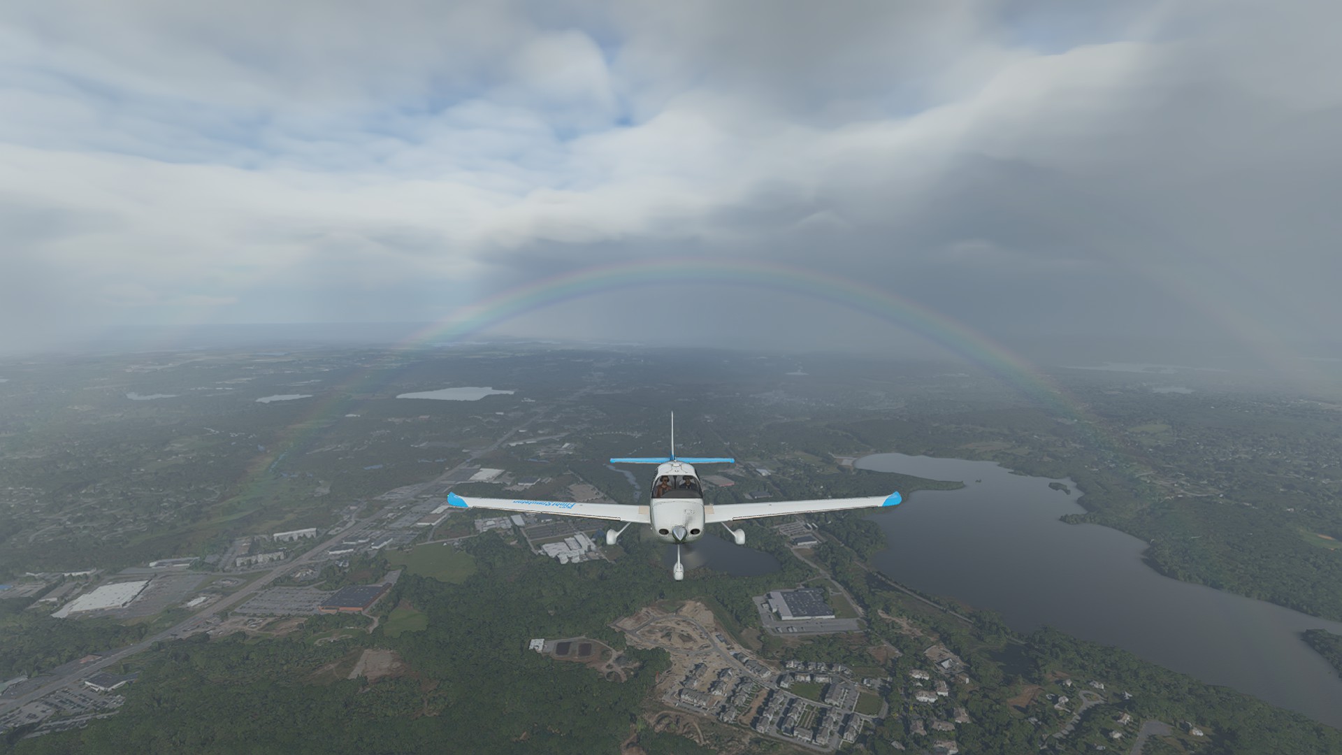
Double Rainbow west of Boston, but low hanging scud past the I-495 split forces me down to 2500’
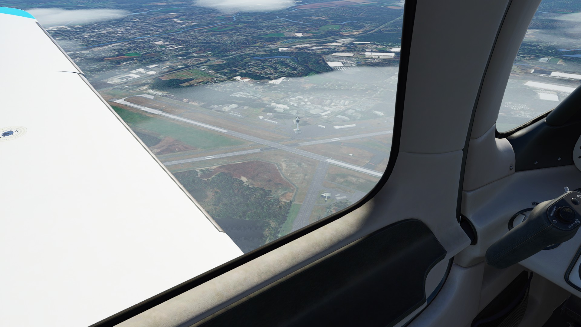
Passing Worcester Regional.
Springfield MA in the foreground, with the Connecticut River flowing south all the way before emptying into Long Island Sound at Old Lyme.
Westover Air Reserve Base to port.
Passing over Westfield-Barnes Airport.
The Hudson River marks our turnpoint north to Albany.
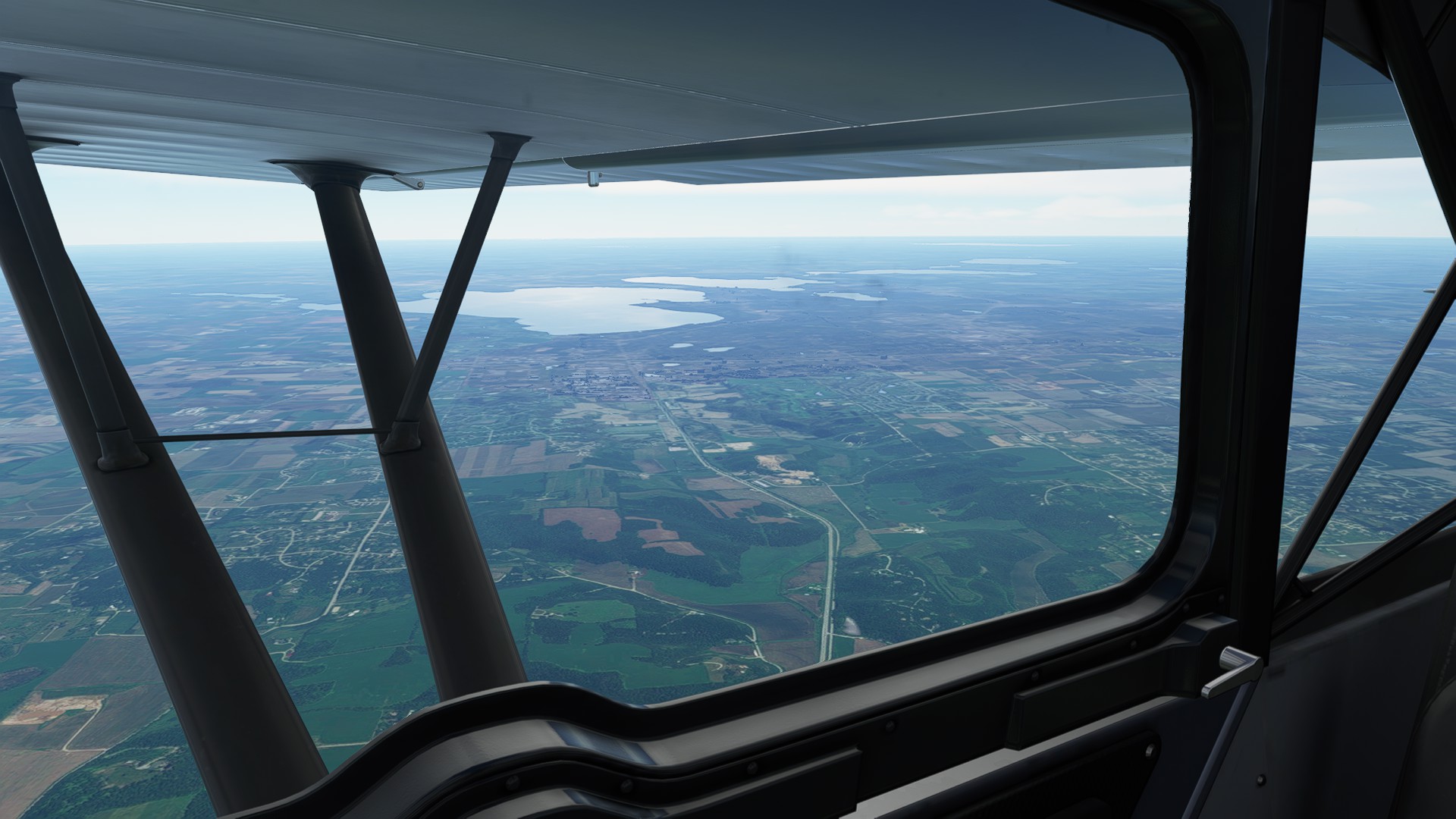
Rowena Quarry and a big manufacturing facility are landmarks on the approach into RWY1 to South Albany (4B0)
Good thing there’s an RNAV into both ends, the low scud has socked in the approach.
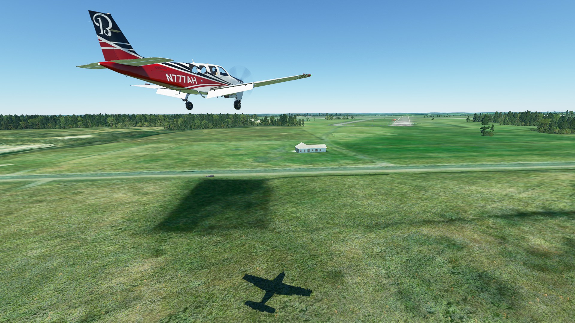
Passing over the massive CSX Selkirk freight yard - there’s a big warehouse on the approach, I disconnect above MDA and fortunately gain sight of the threshold. Continue landing!
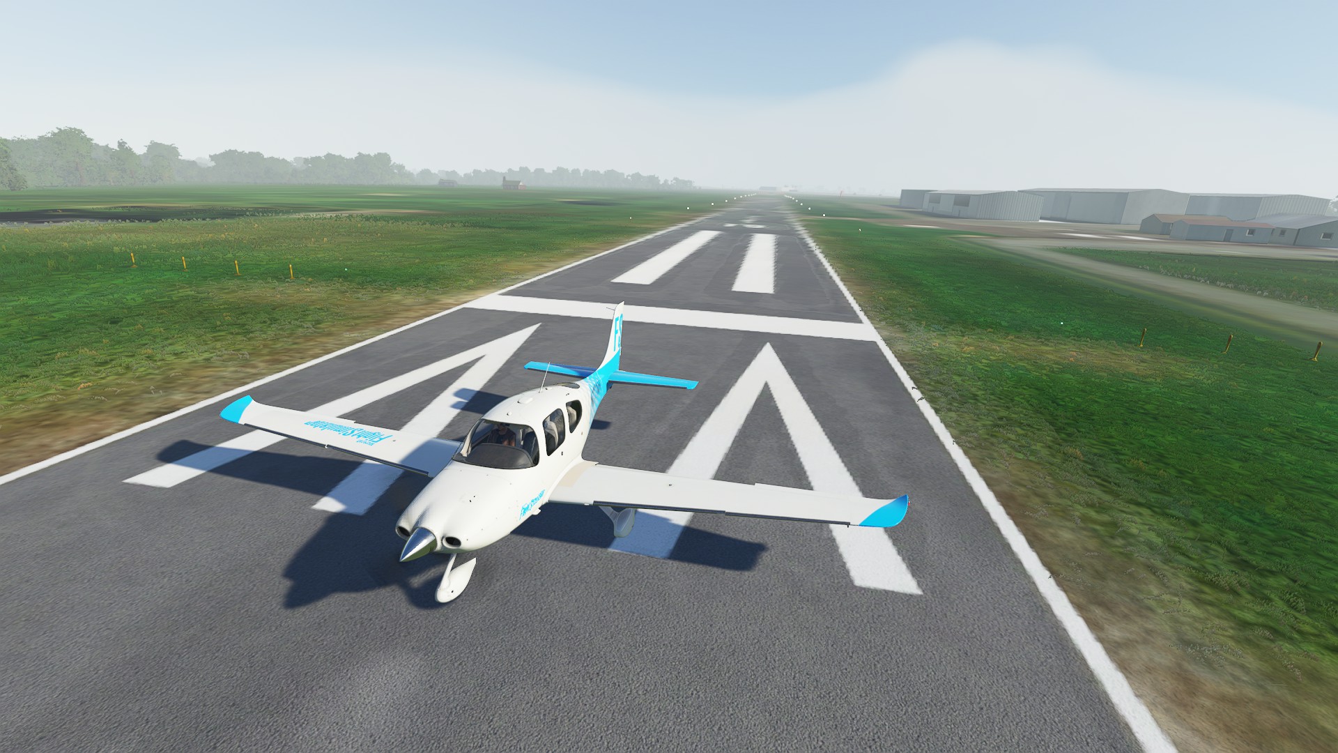
Made it down safely to South Albany.
4 Likes
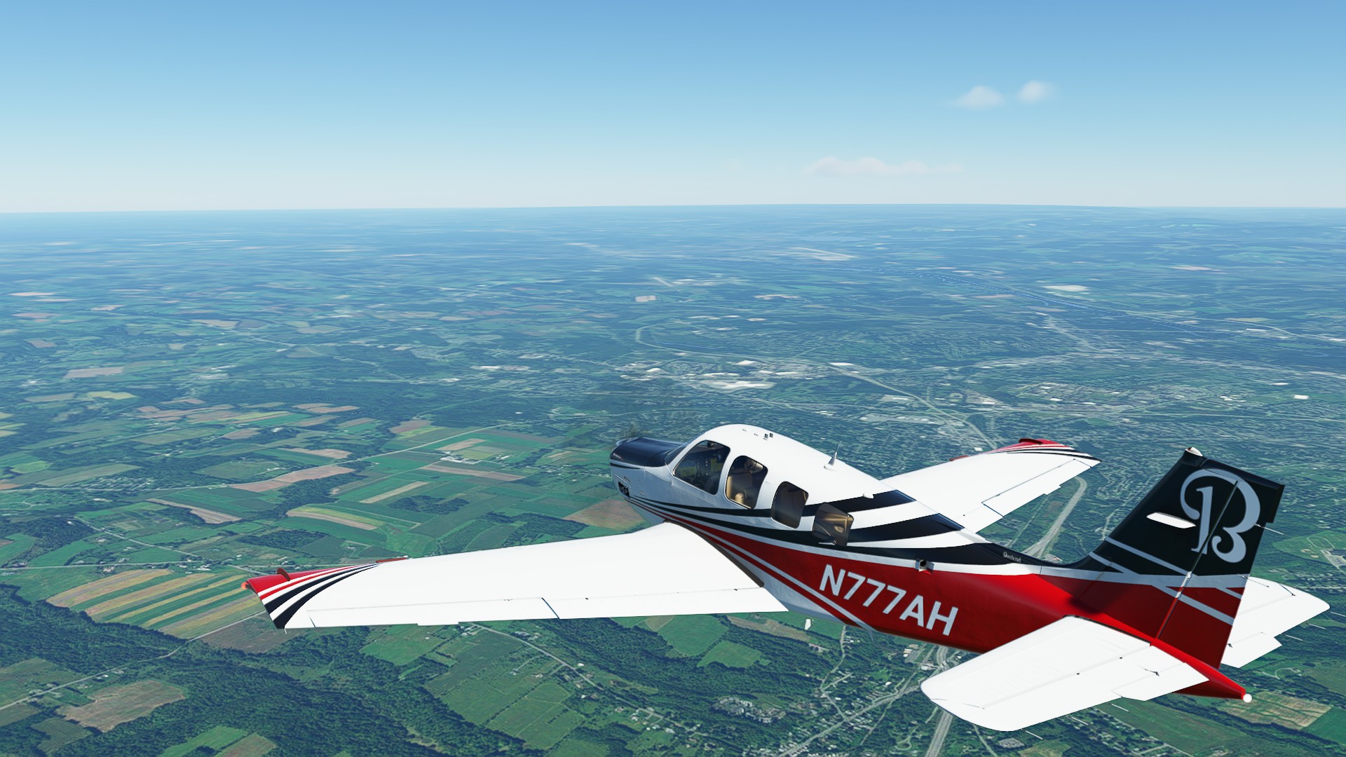
Leg 2: South Albany NY to Oswego NY 122nm 0:44:00 enroute
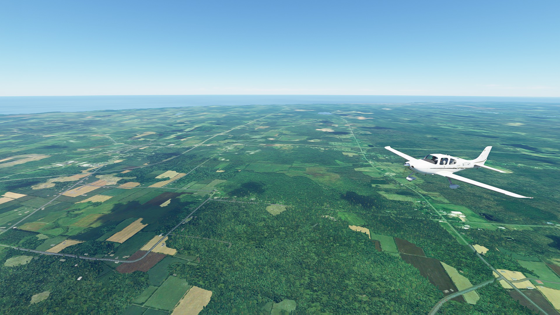
Good weather departing Albany, made a speed run in the Bonanza - 200 ktas @ 6,000.
Schenectady Airport out of the COP window.
Passing north of Otsego Lake, at the other end is Cooperstown NY, home of the Baseball Hall of Fame.
Passing Utica and Deerfield with Oneida Co runway visible.
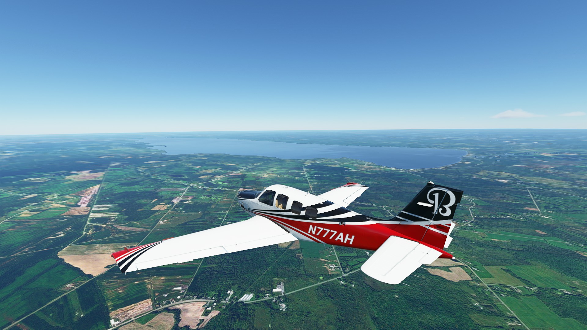
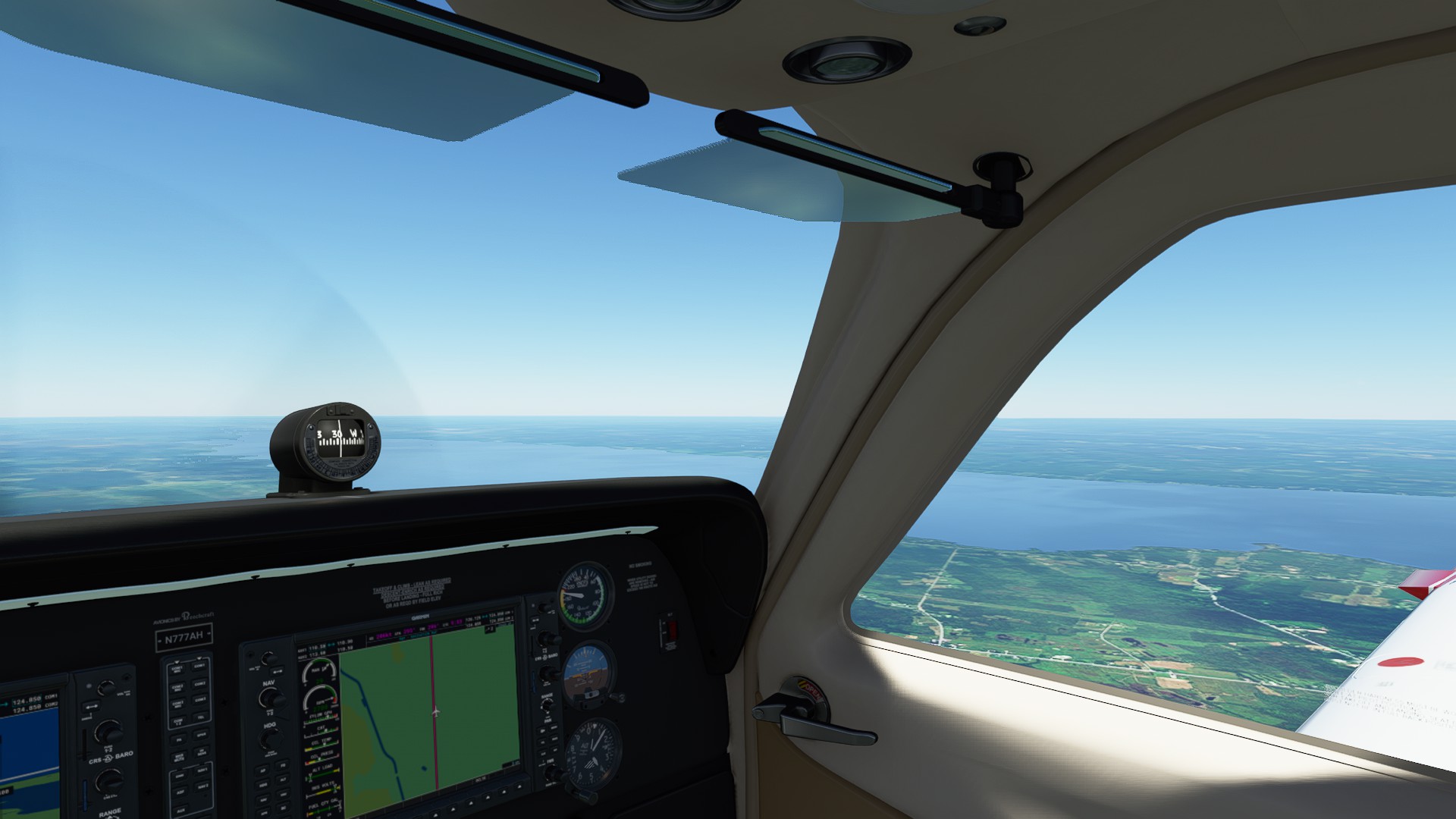
Lake Oneida off to port.
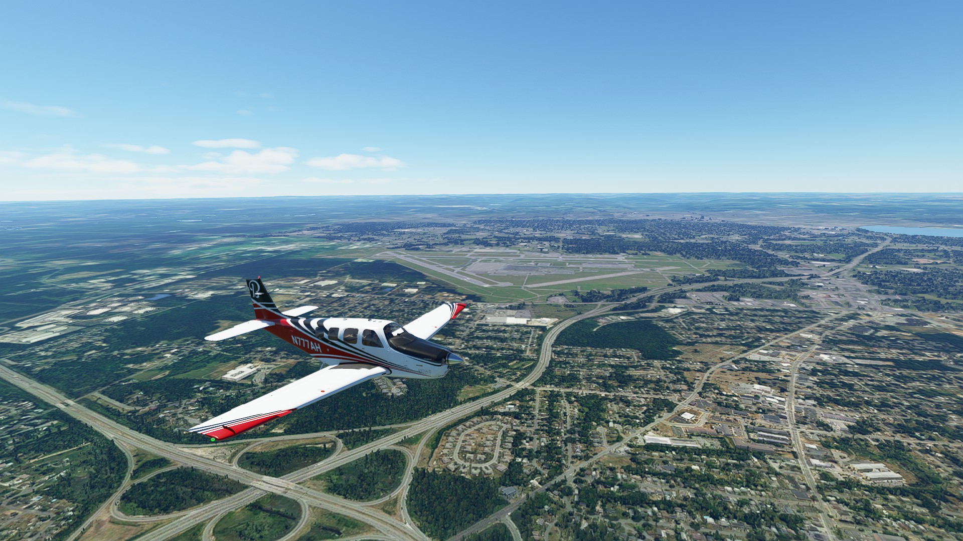
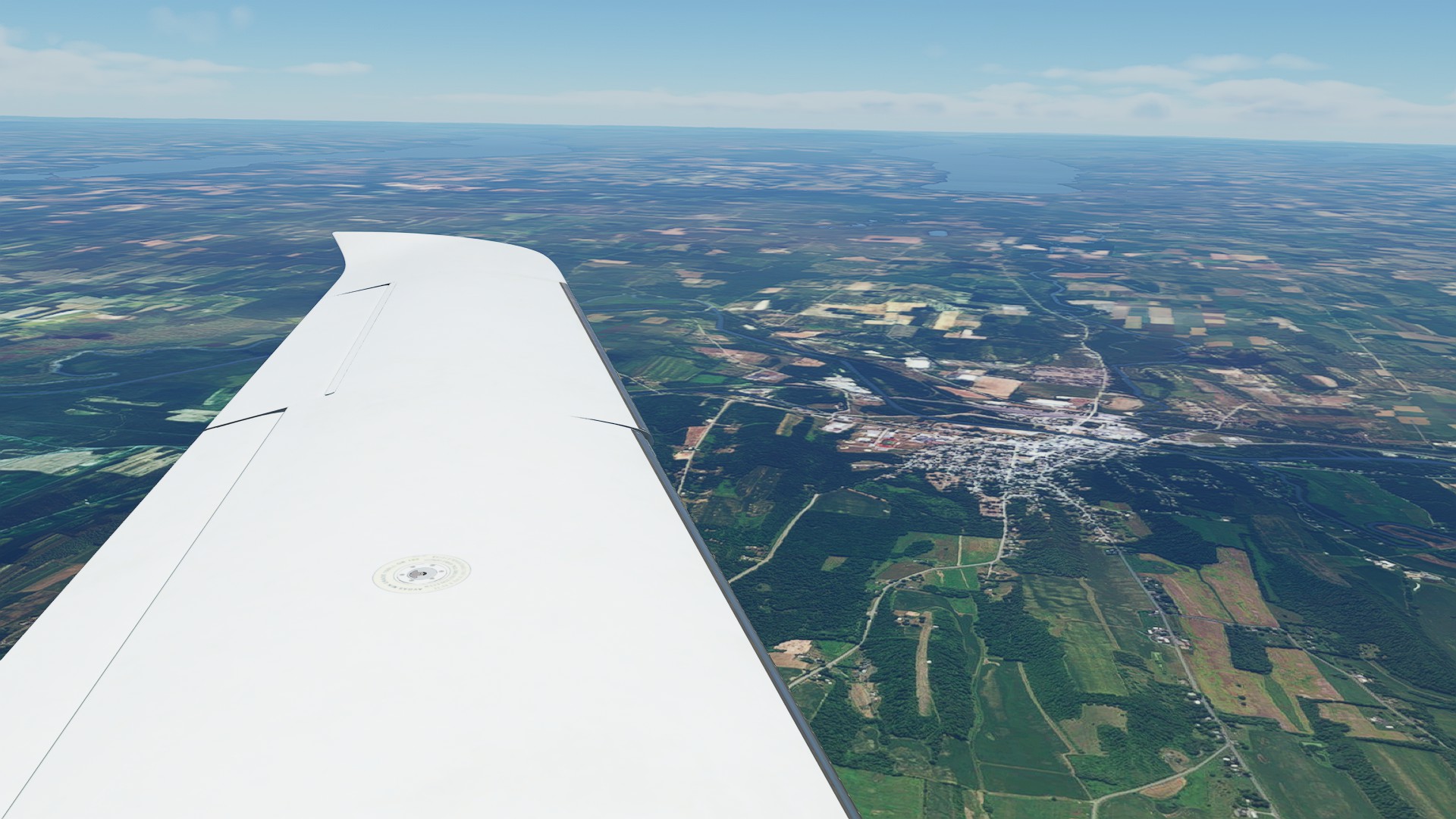
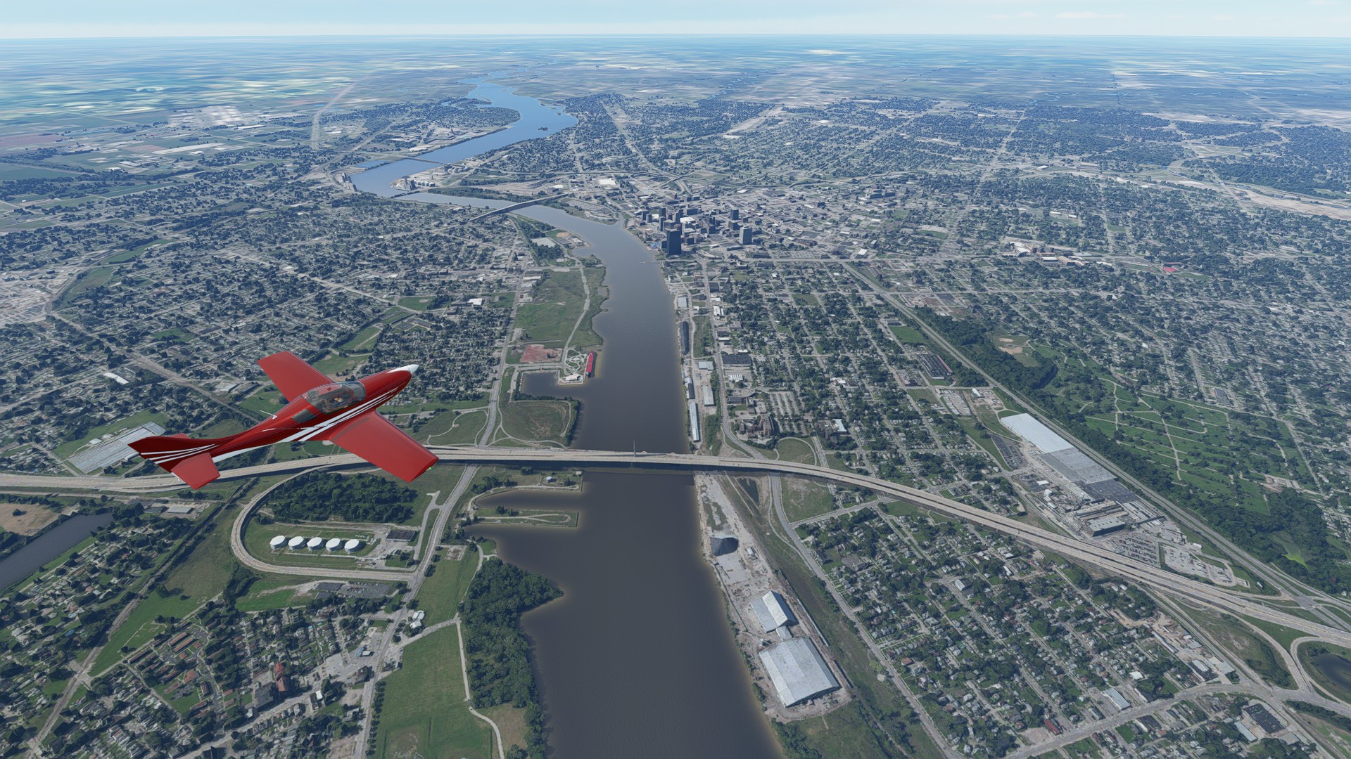
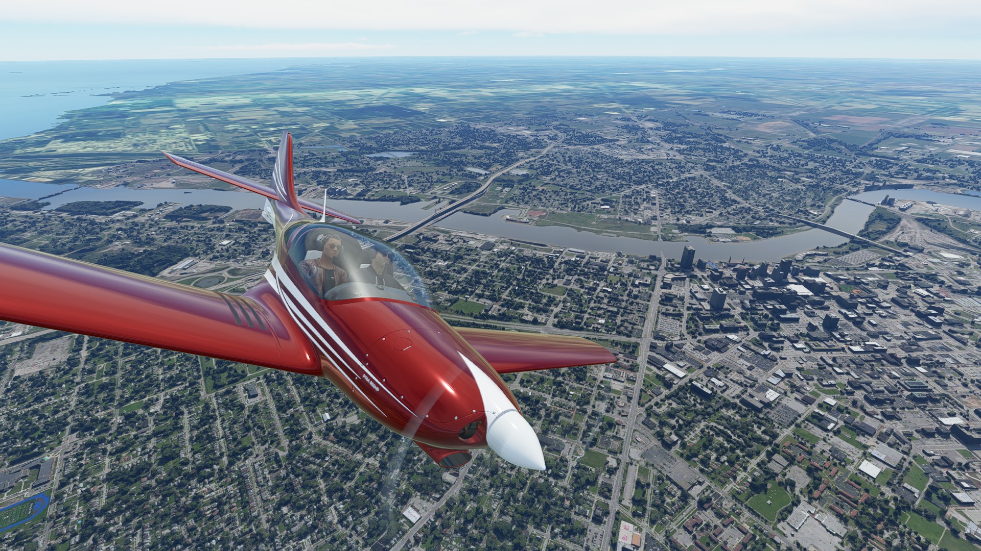
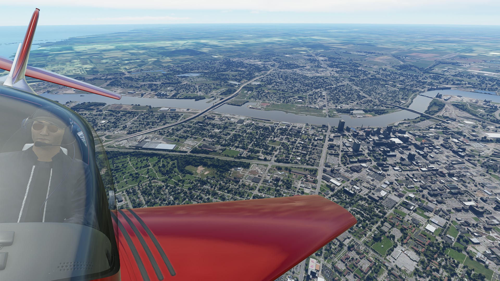
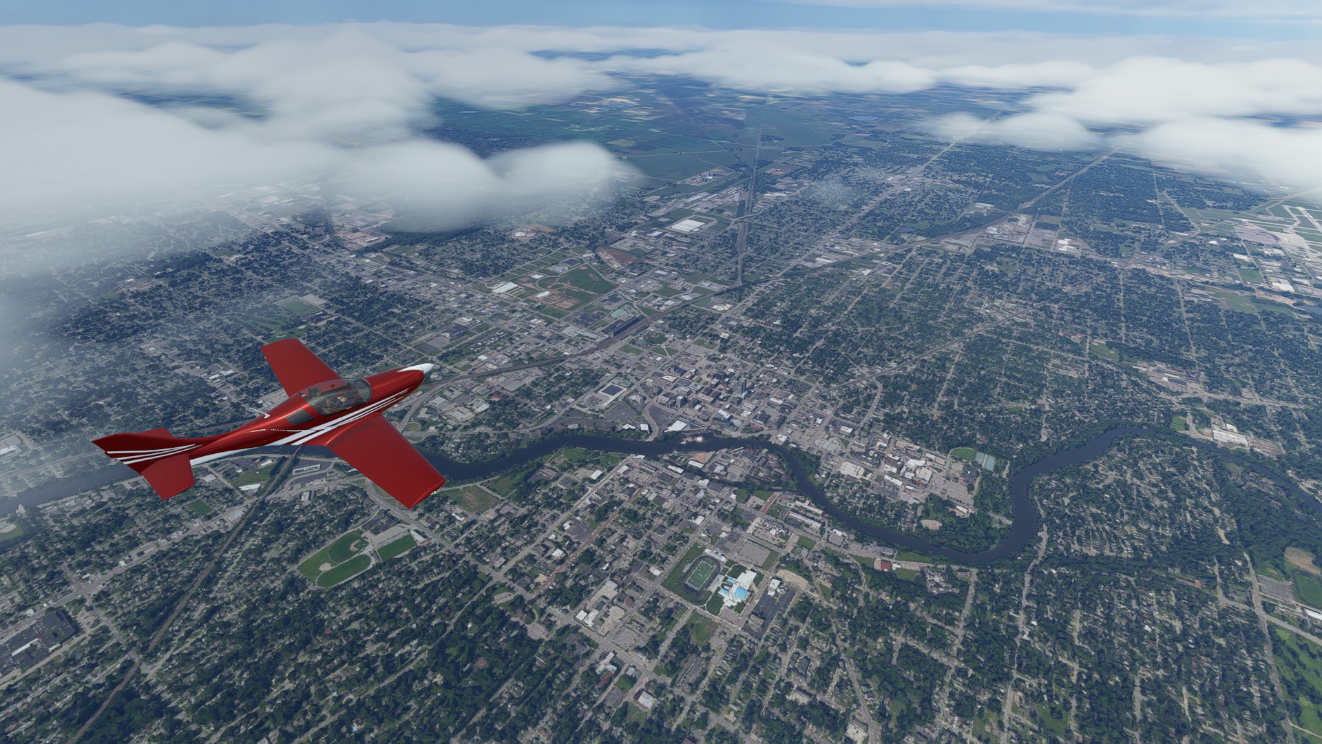
Syracuse International and the City in the further distance.
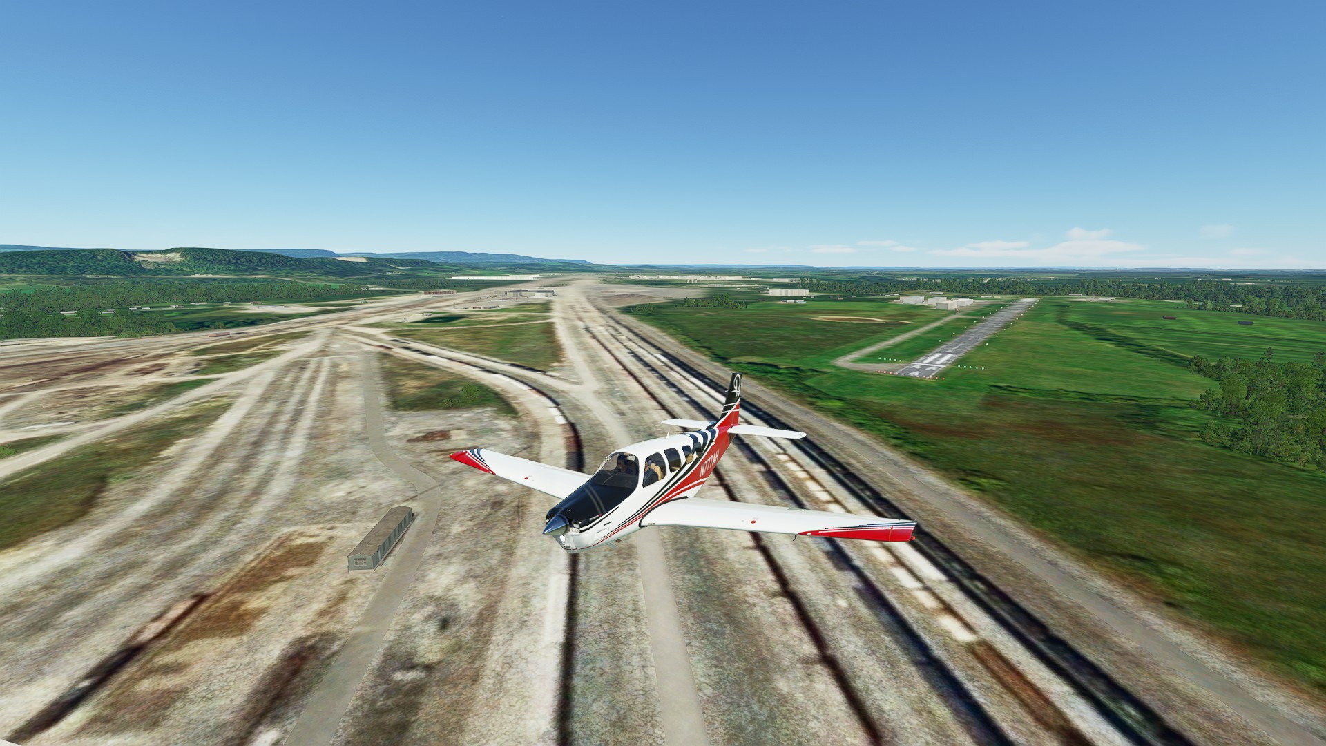
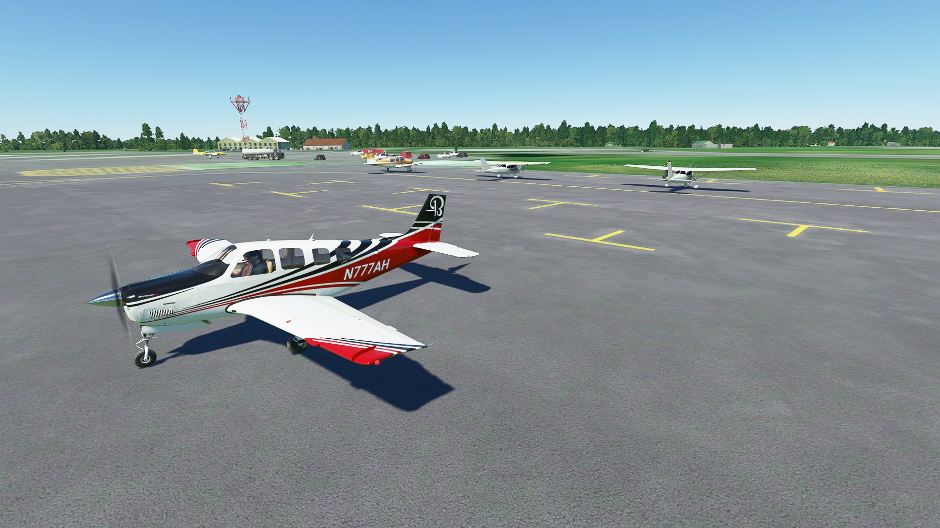
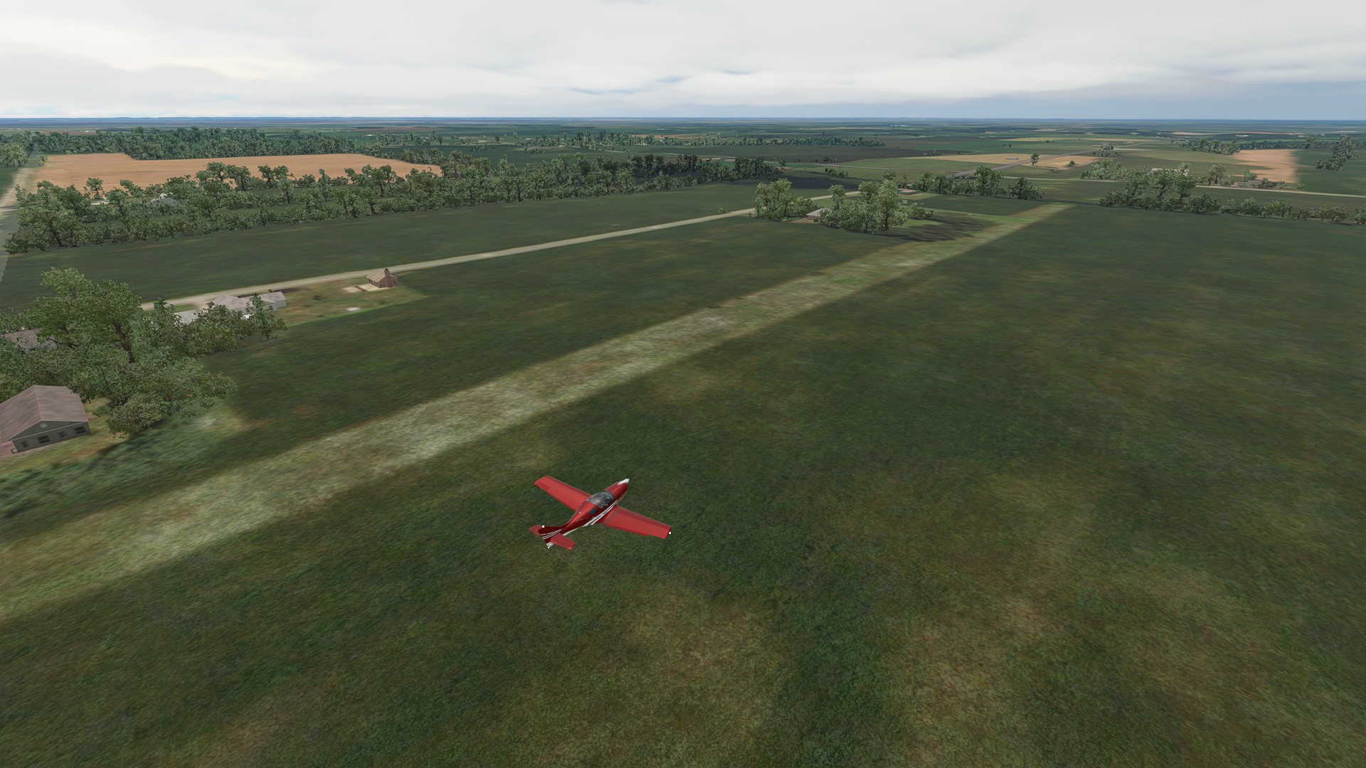
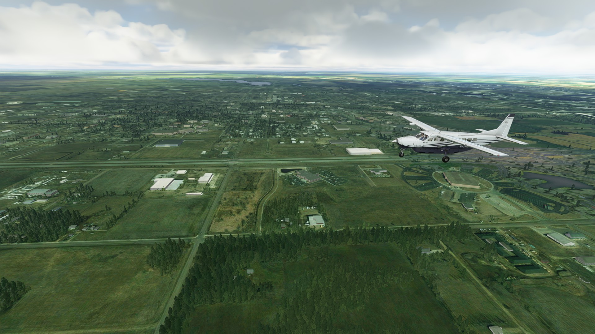
Oswego County - it’s actually quite nice for a generic airport - looks quite populated.
1 Like
Leg 3: Oswego NY to Spaulding Aerodrome (Sinclairville NY)
Another nice hop, 144 nm 1:03:00 enroute.
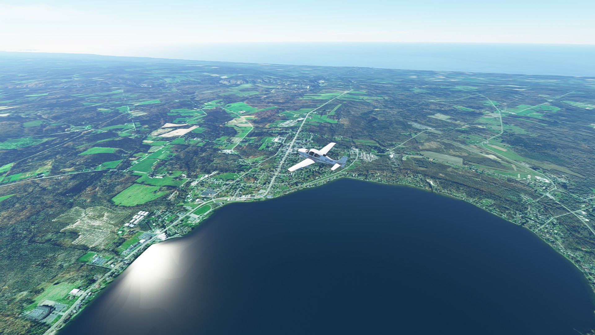
Had a nice view of the Finger Lakes region of NY state, plus passed near the coastlines of both Lake Ontario and Lake Erie. Slight delay upon arrival as I had to do a quick orbit and assess the field condition.
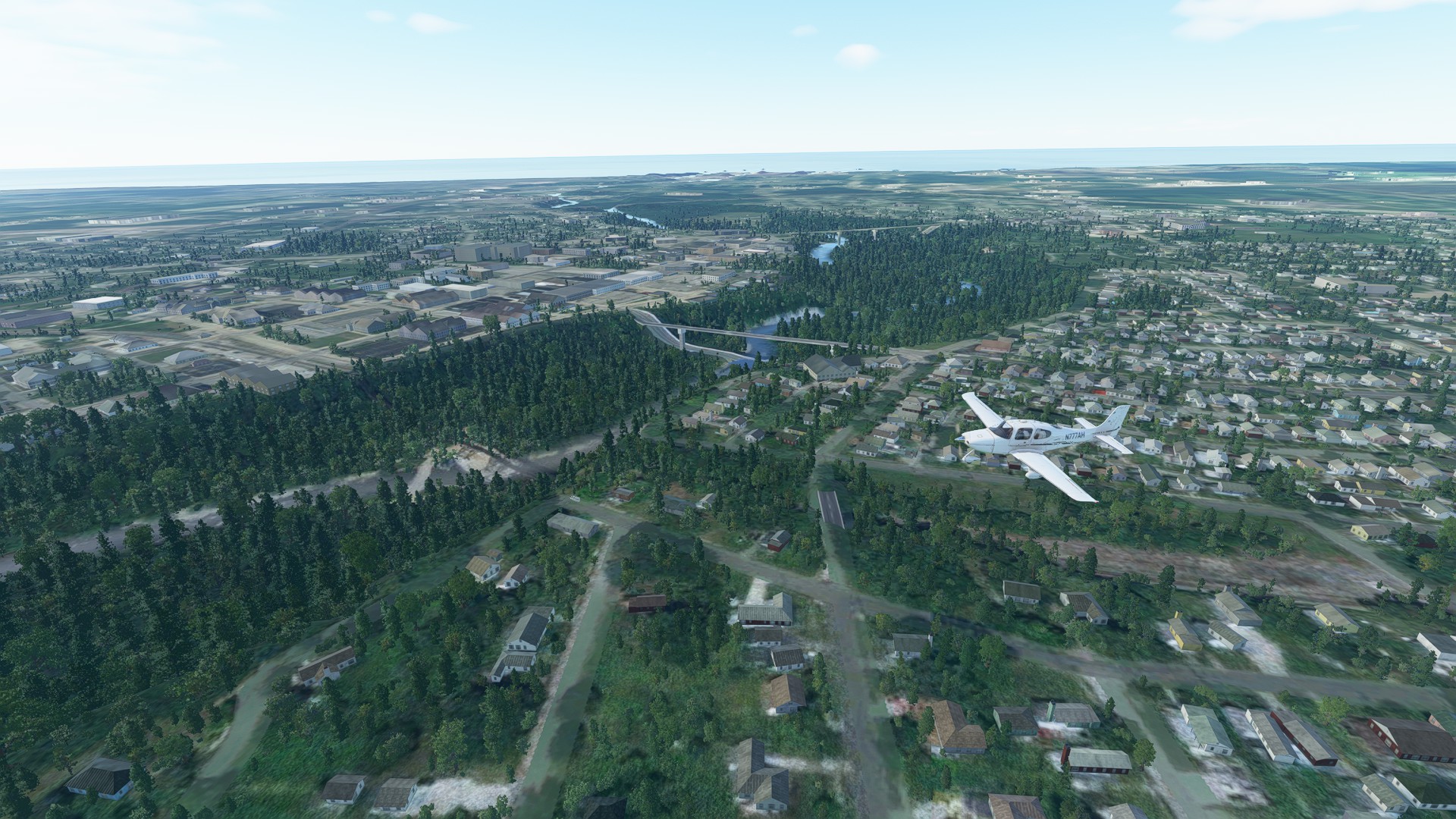
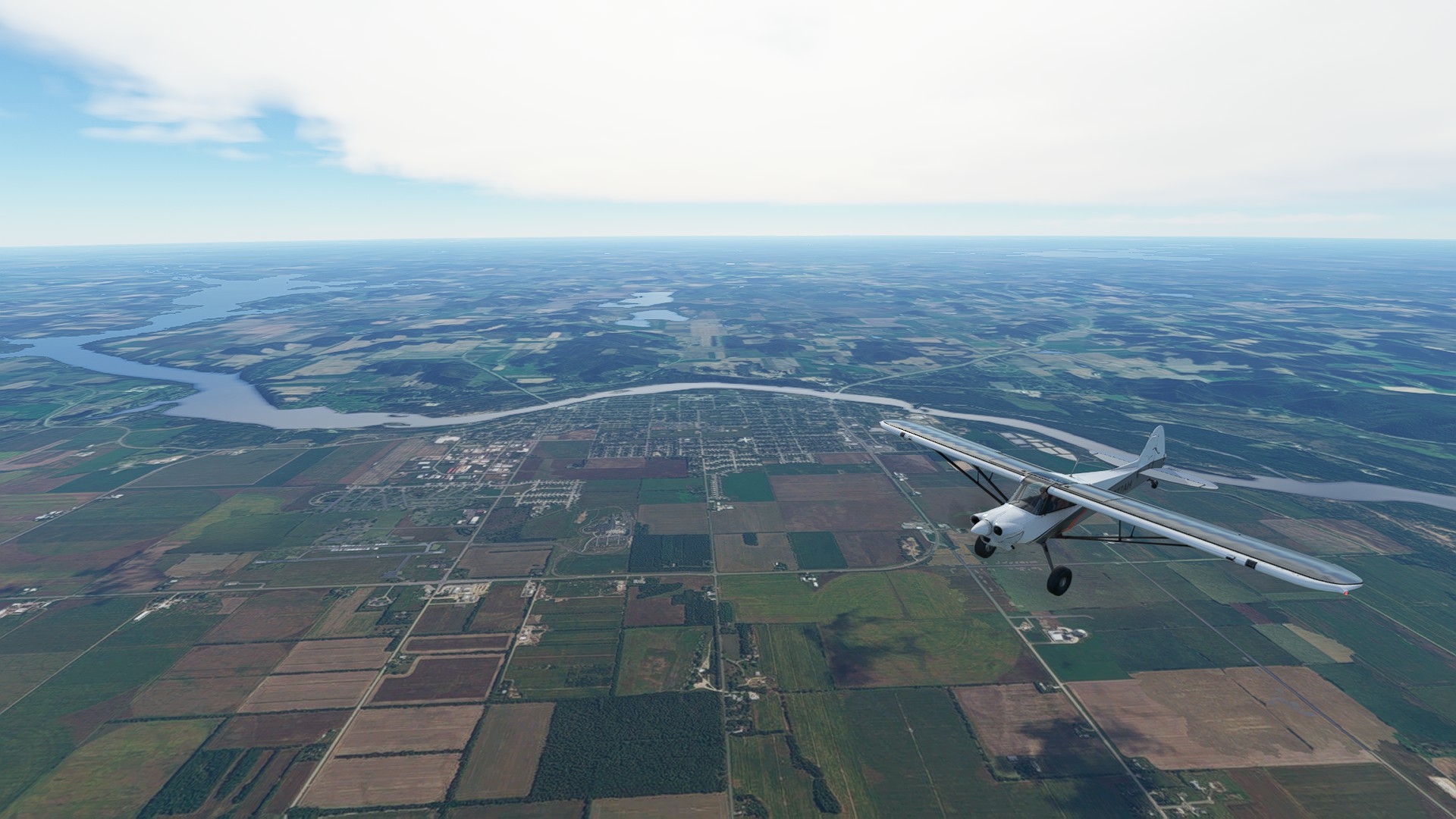
Passing over Fulton NY just after launch. The Bridge and lock are visible on the Oswego Canal which connects both Cross and Onandaga Lakes with the larger Lake Ontario.
Lake Erie coastline and Sodus Bay near Rochester.
Passing over Lyons NY and in the distance Cayuga Lake, one of the famous “Finger Lakes” in the upper NY region.
Scattered clouds at about 8,000’ near Rochester but not a factor - it’s a great flying day.
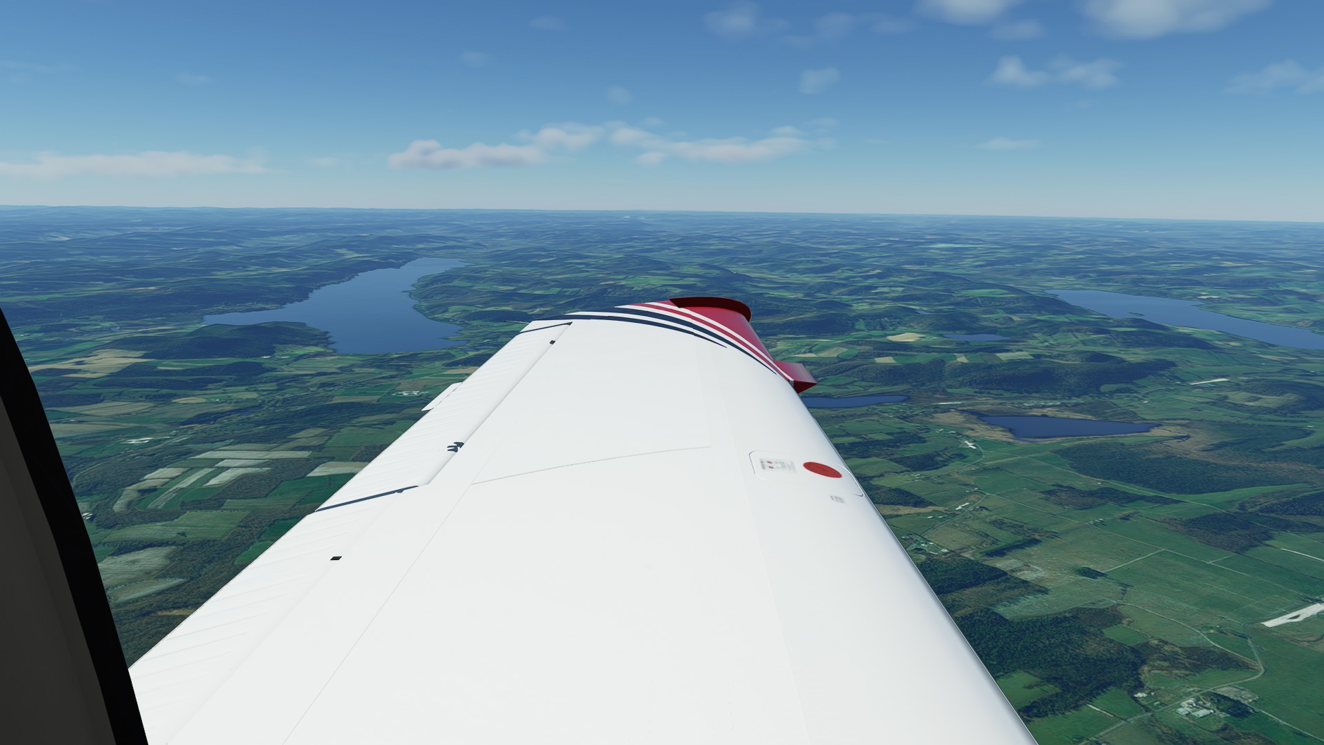
More of the Finger Lakes - Honeoye, Canadice and Hemlock.
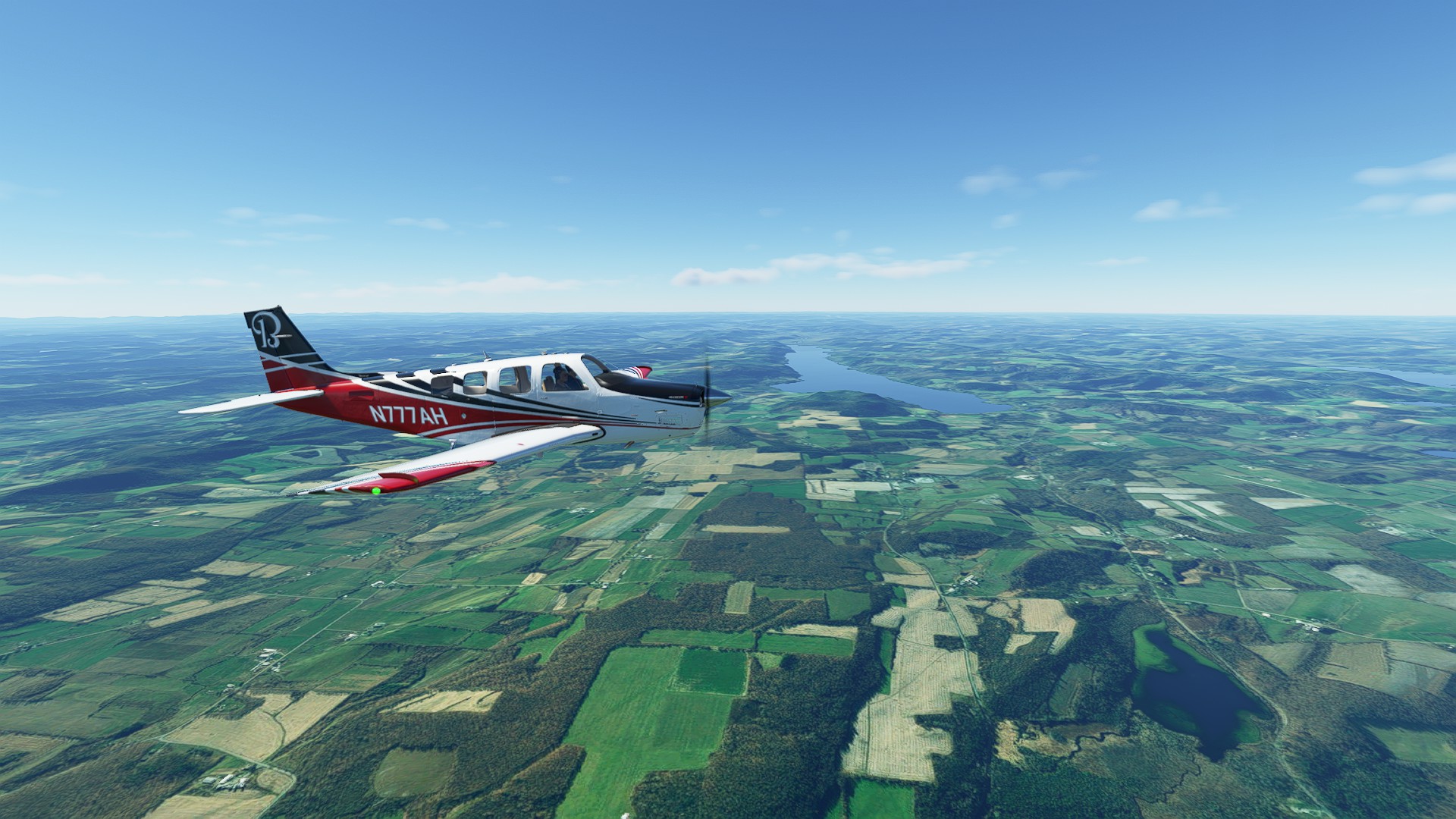
Good view of one of the larger Western most lakes - Conesus, just south of Geneseo.
The smallest of the Fingers; Silver Lake just south-east of Warsaw.
A great view of Lake Erie coastline.
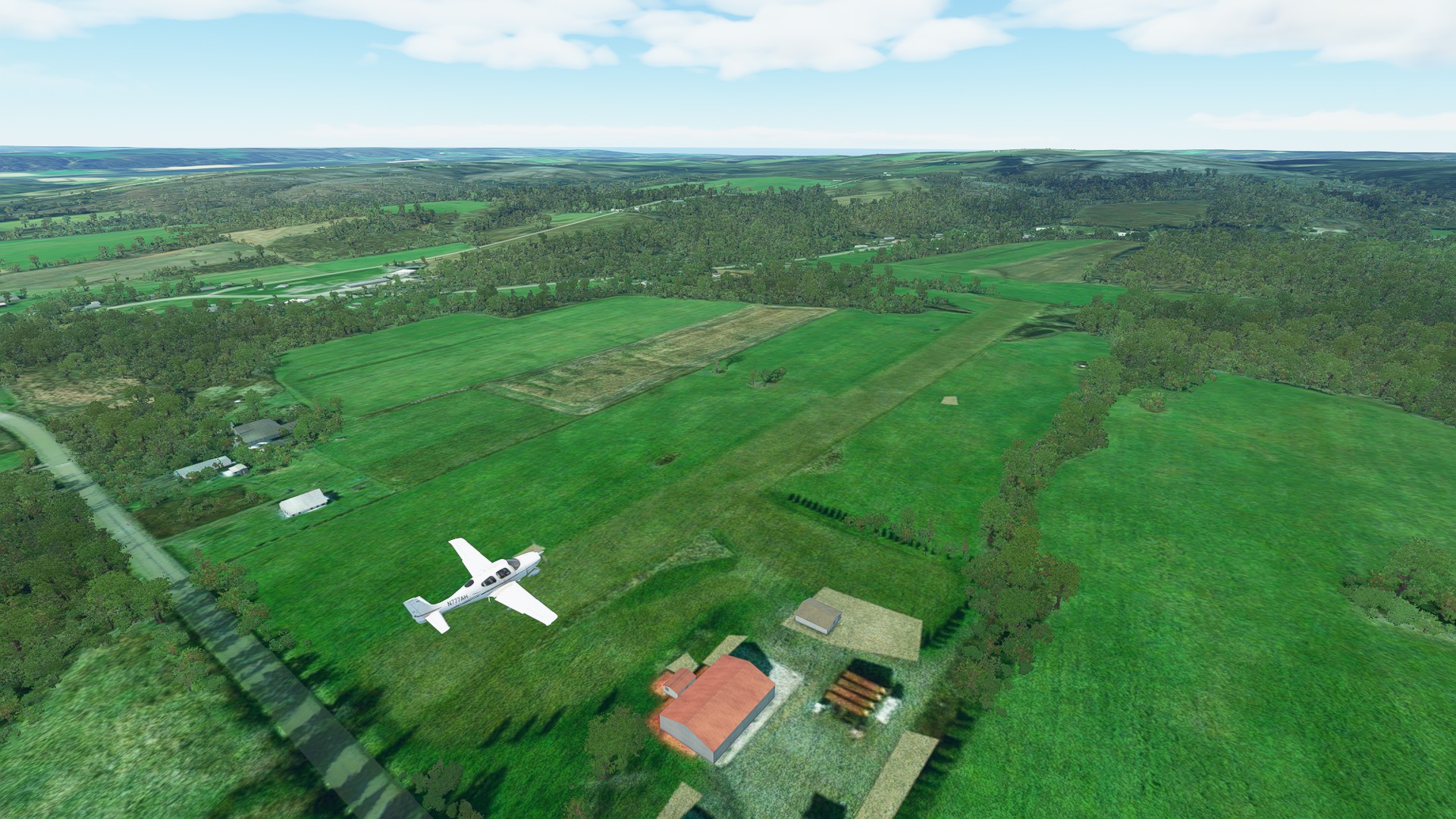
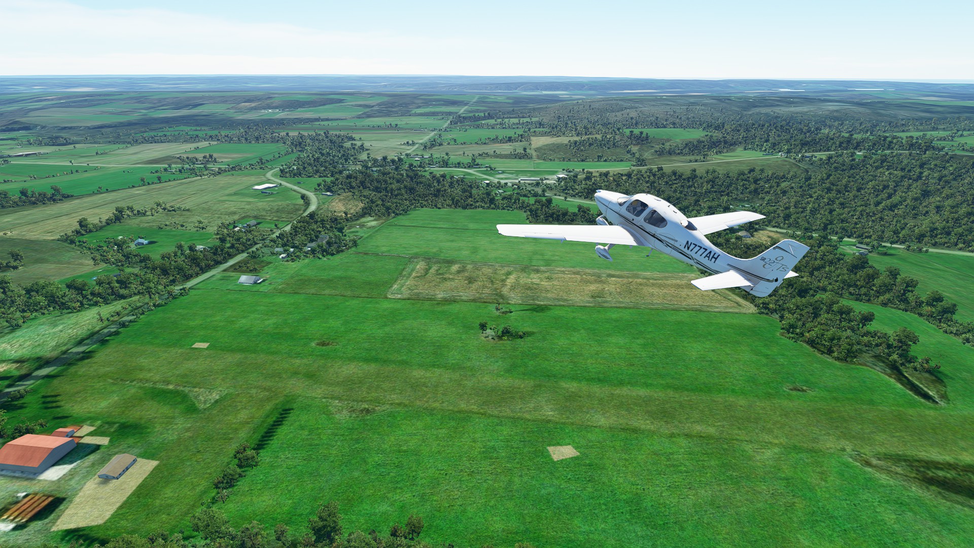
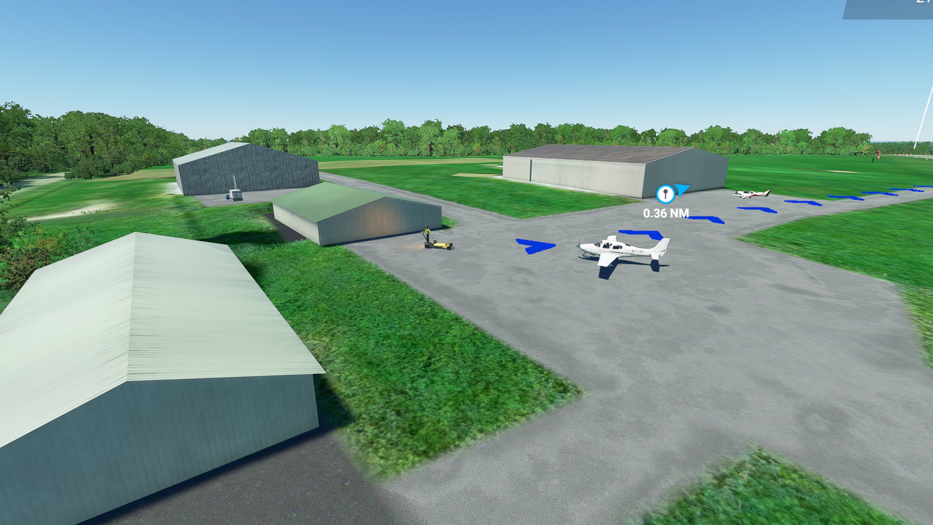
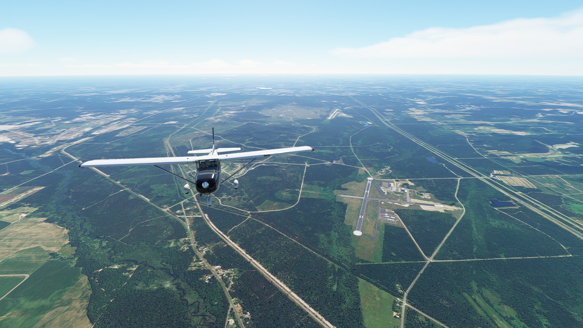
28NY - Spaulding Aerodrome, tucked in the hills overlooking Jamestown NY. I ran a standard pattern to overfly and assess the field and any nearby obstacles.
Leg 4: Spaulding Aerodrome (Sinclairsville NY) to Concord Airport (Painesville OH)
Nice short transit of two states - PA and OH along the shoreline of Lake Erie. 97nm 0:44:00 enroute.
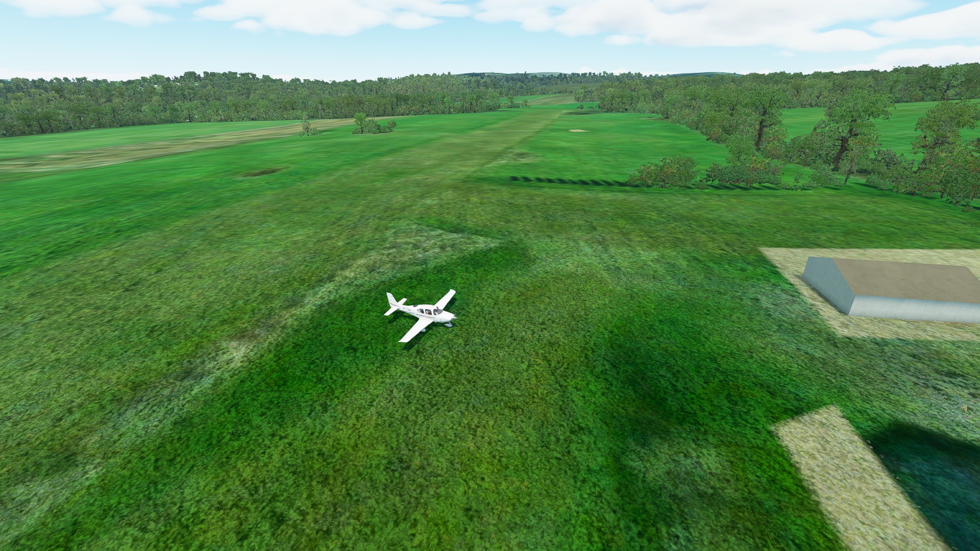
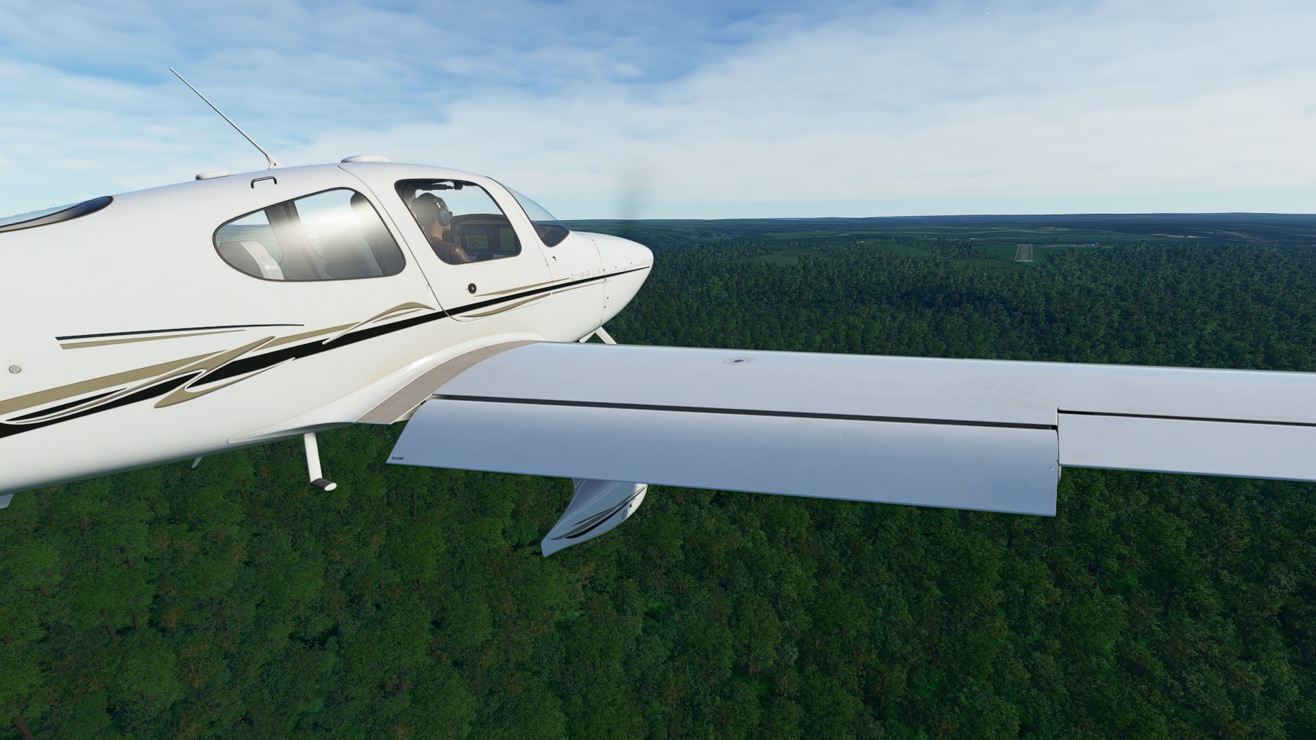
Departing Spaulding Aerodrome - it was a lot longer on landing it seemed. The treeline was awfully close on pitch-up.
Passing the northern end of Chatauqua Lake. Sectional shows a seaplane base on the Eastern Side, but it wasn’t visible on our pass.
Flying past Erie, PA and the International airport.
Nice day, little wind, but a lot of glare from the sun.
Passing the City of Ashtabula (cool name) - the last stop for freed slaves on the underground railroad before they made it to the sanctuary of Canada.
You got to love the detail of the overheads in Bing Maps when you can see the markings on the football field for the Lakeside Dragons, the Ashtabula City High School athletic team.
On approach to Concord Airport - at least this one has designated ramp spots, and I can get some logbook credit.
Leg 5: Concord Airport (Painesville OH) to Chippewa Field (Williston OH)
Another great VFR hop. 95 nm, 0:41:00 enroute.
Needed pushback help as the ramp spots were too close to the buildings.
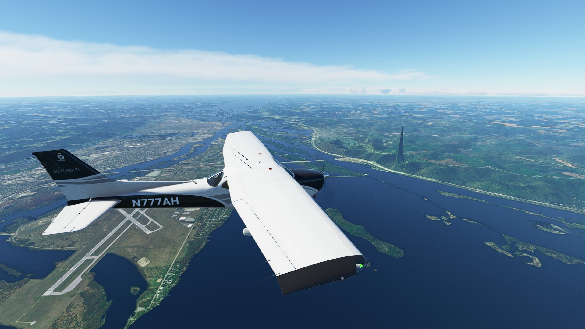
“Feet wet” over Timberlake OH, with views of the town, Eastlake Power Plant and Willoughby Lost Nation Municipal Airport.
Abeam of Avon Lake OH.
Top of the Descent just before Kelley’s Island, with views of Catabwa Island and Marblehead on the far horizon.
“Feet dry” over Davis-Besse Nuclear Power Plant, just north of Camp Perry.
Approach into Chippewa Field 88OH, just east of Toledo OH - it’s great that Little Nav Map lets you set up custom approaches, makes runway alignment so much easier.
Leg 6: Chippewa Field (Williston OH) to Cummings Field (Rolling Prarie IN)
152 nm, 1:04:00 enroute. We would have arrived sooner, but finding the field was challenging.
Got Live Weather working again, so things look more seasonal enroute.
Passing Toledo OH
Overflight of South Bend, IN
Cummings Field 45II was tough to figure out - so many fields with straight lines making me think it’s the location!
Leg 7: Cummings Field (Rolling Prarie IN) to Spickard-Marshall (Rockford IL)
While not the longest leg, LL81 (Spickard-Marshall) was a tough arrival, enclosed all around by a treeline -127 nm, 0:54:00 enroute.
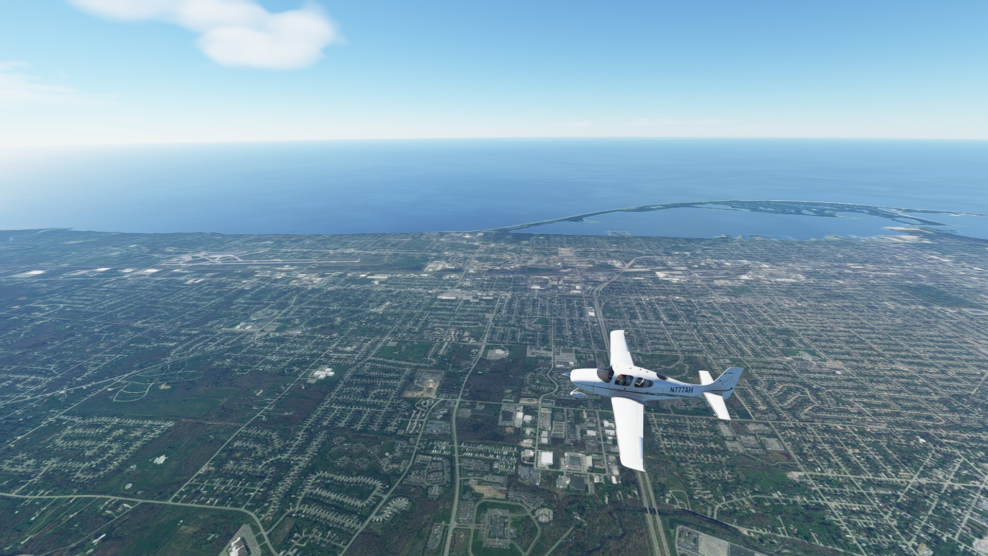
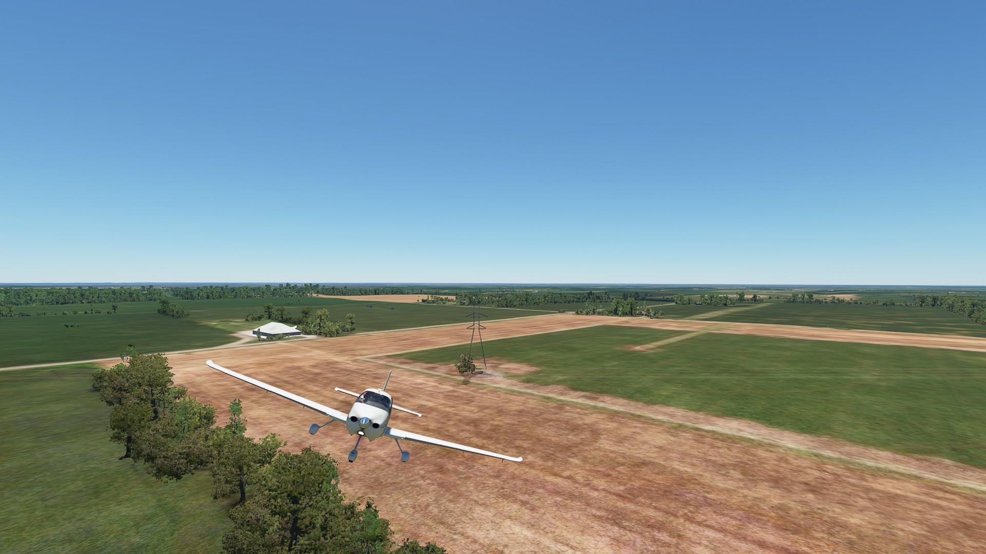
Departing Cummings Field and “feet wet” over Michigan City, cutting across the southern end of Lake Michigan.
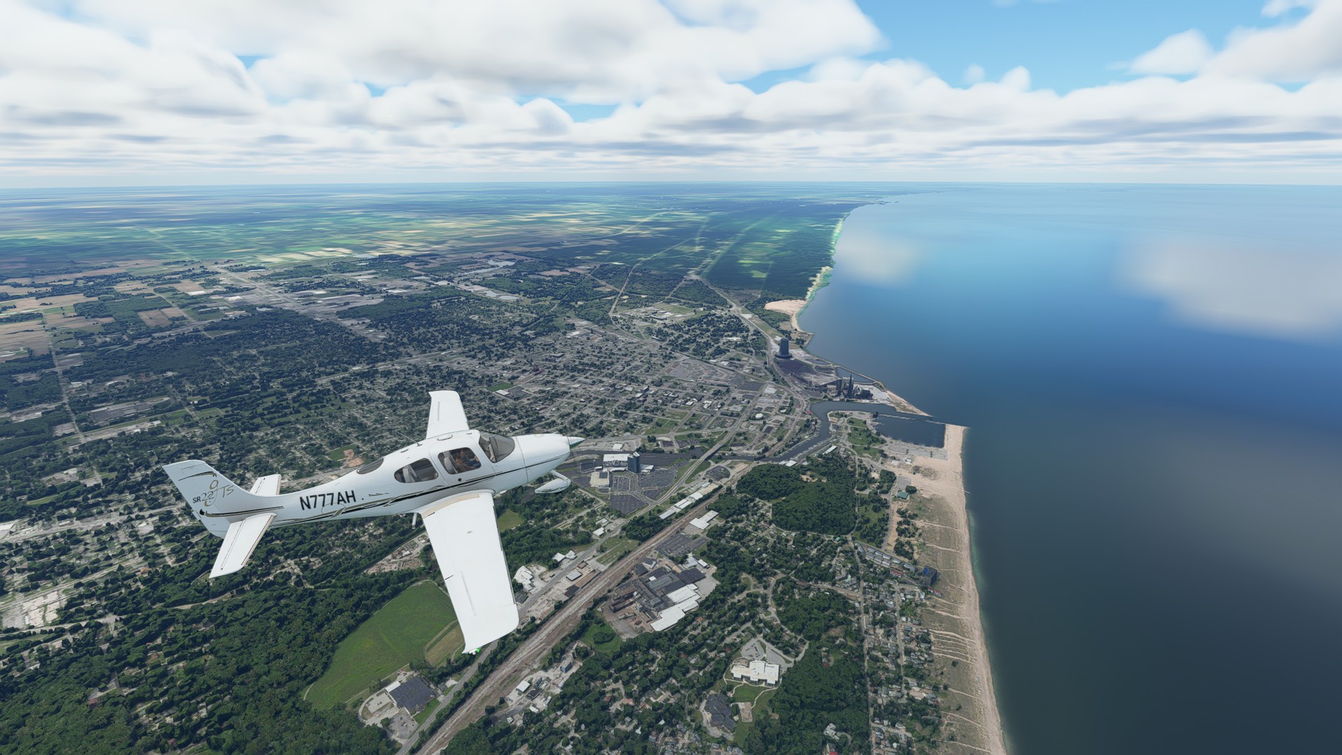
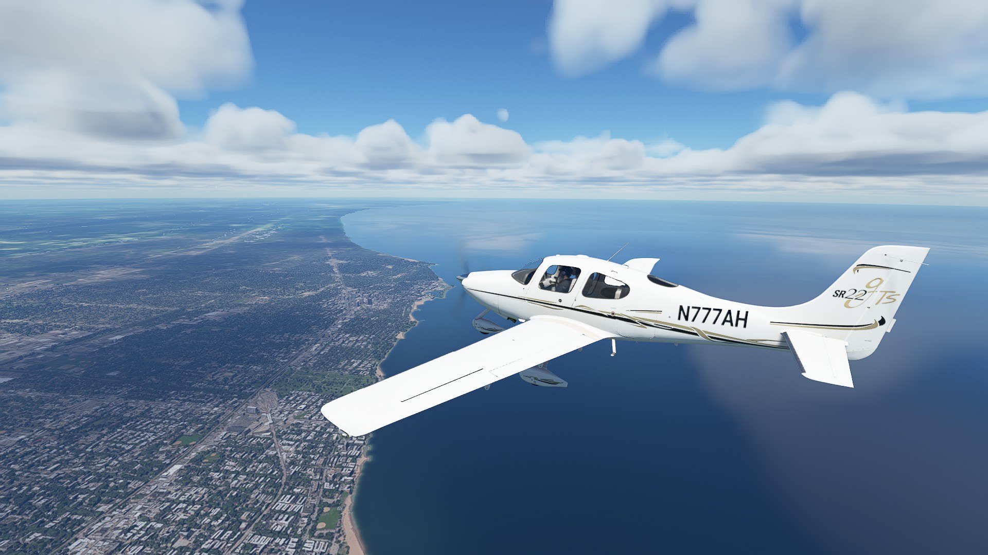
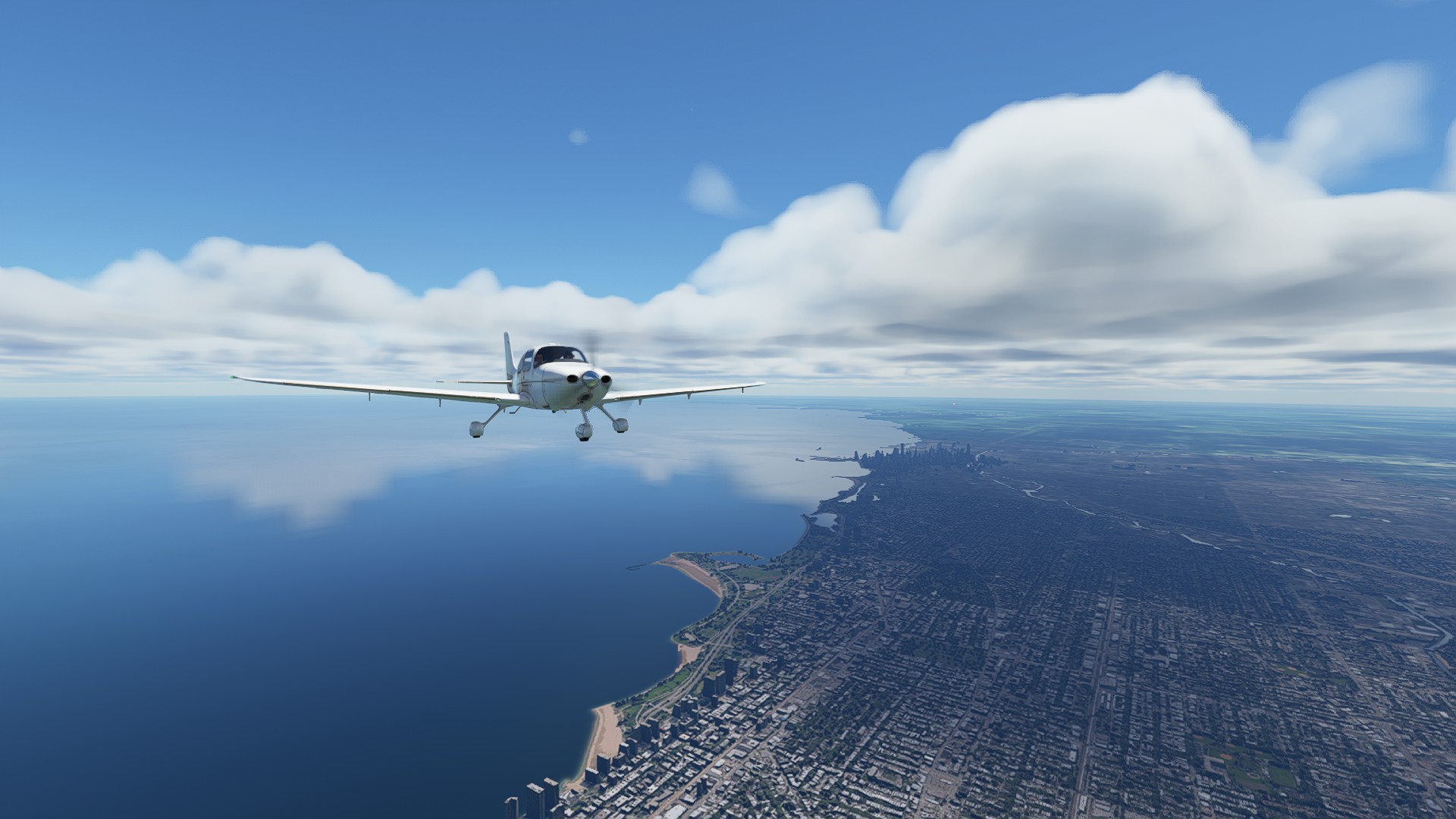
Great views of Chicago and the waterfront district, as we make landfall over the city of Evanston.
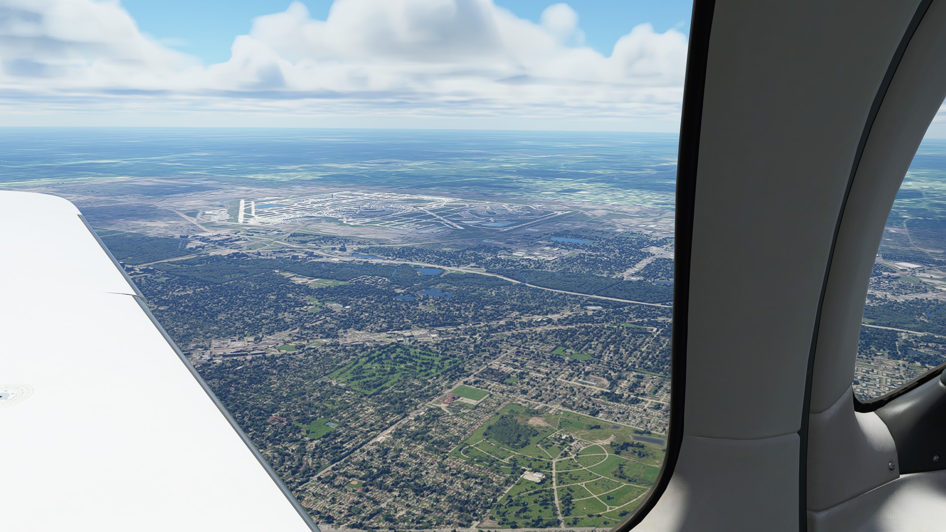
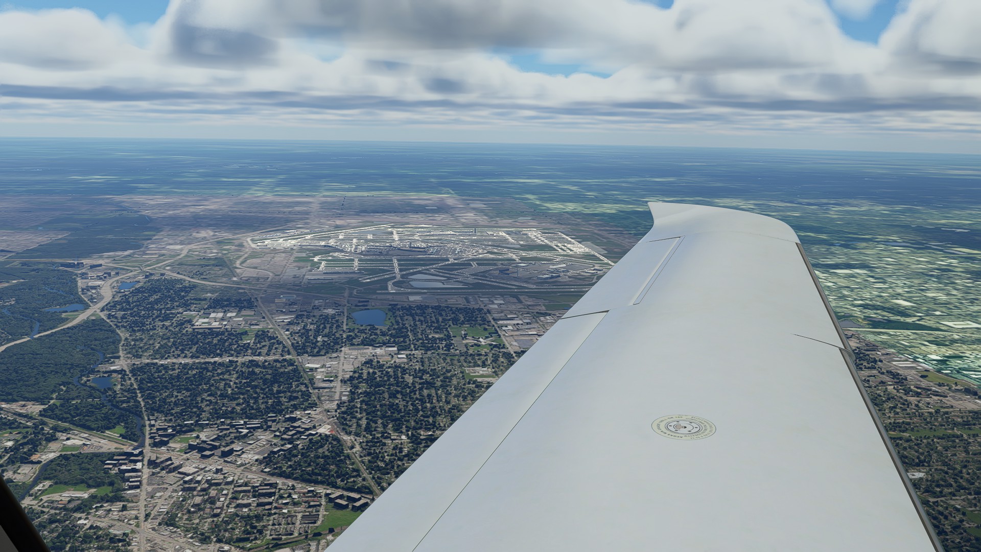
We transit past the approach lanes for R22L and R while seeing the enormous sprawl of Chicago’s famous O’Hare Airport.
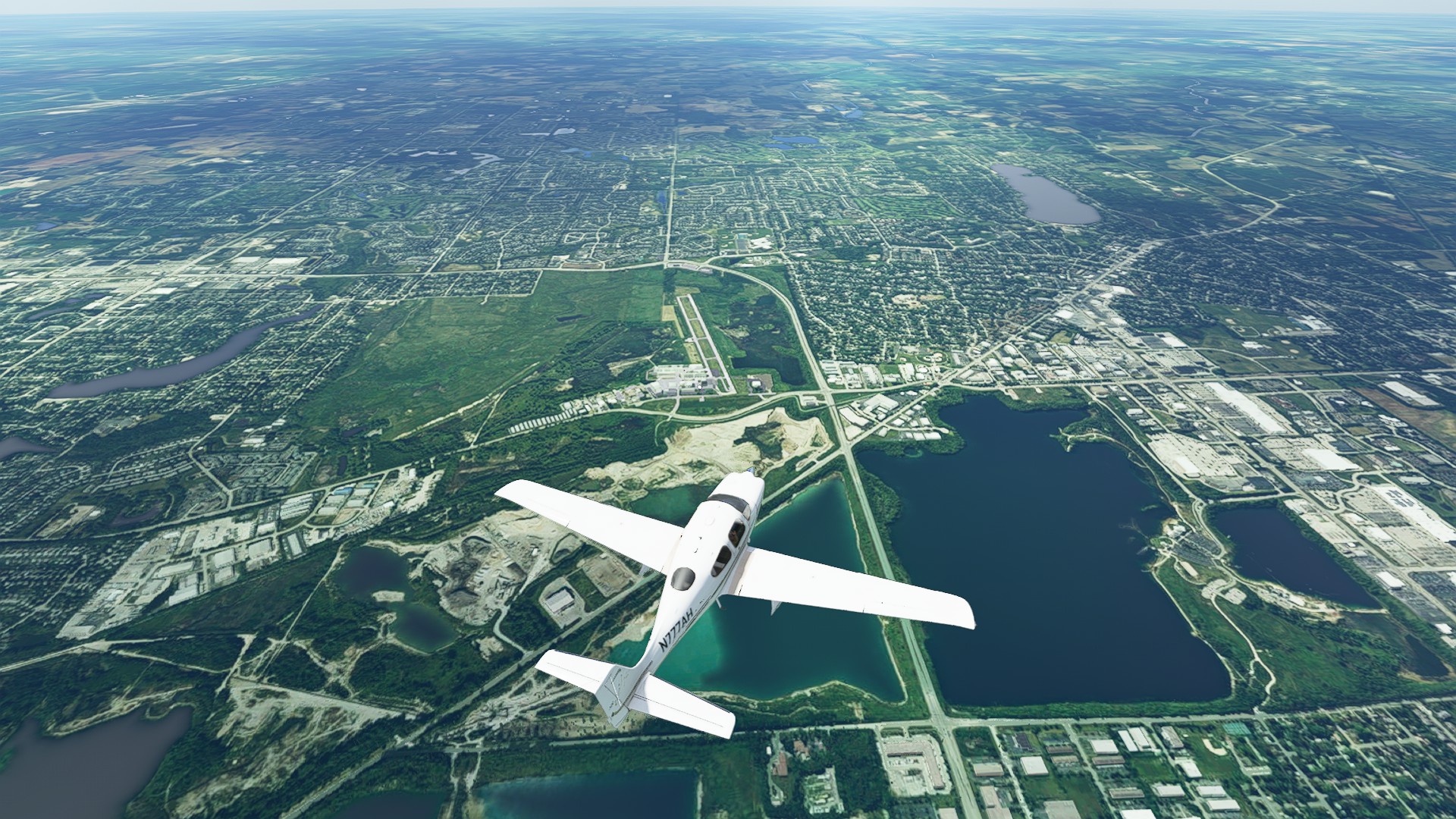
Aptly and picturesque Lake in the Hills airport (3CK) serving the South Lake area.
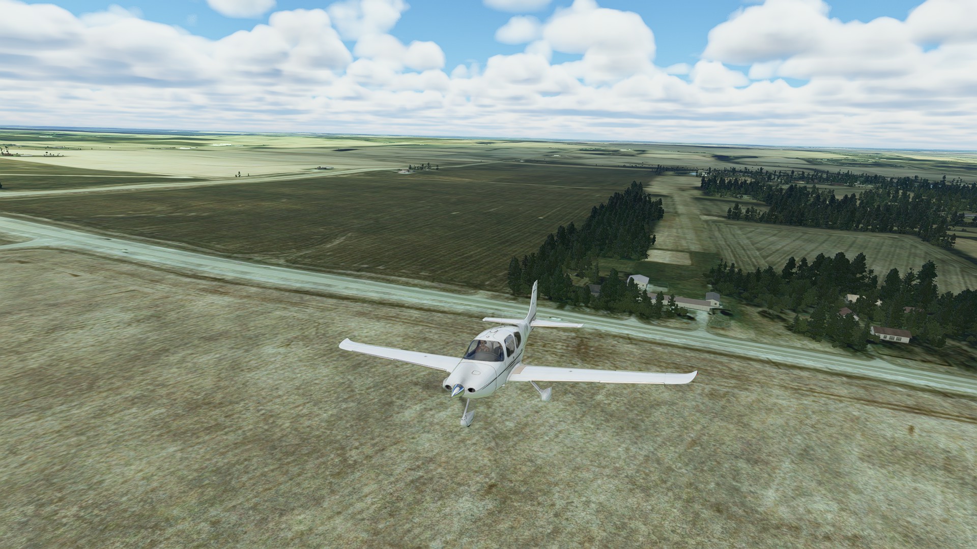
Finding LL81 was tough, I ended up overshooting and coming back in for a short final. Even then I may have used up a lot of life on the wheel brakes.
Leg 8: Spickard-Marshall (Rockford IL) to Prehn Cranberry Company (Tomah WI)
Switched to the CubCrafters as I checked out my landing site - and it looks short - 107 nm 1:04:00 enroute.
Departing LL81, blustery day, 11 kt cross-wind.
Passing Madison WI.
Overflight of Sauk CIty/Prarie Du Sac.
Aptly named, 01WI is a privately owned strip - next to a Cranberry Farm. Quaint, and short.
Leg 9: Prehn Cranberry Company (Tomah WI) to Pete’s Airport (Grand Meadow MN)
109 nm, 1:01:00 enroute.
Departing Prehn Cranberry Company:
Passing Fort Mc Coy and the Young Tactical Landing Strip:
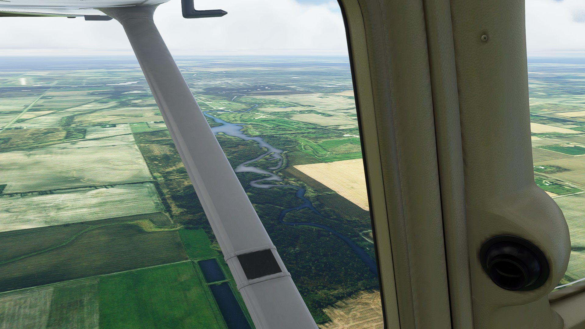
Flyover - La Crosse WI and Lake Onalaska: (weird spike noted for Zendesk!)
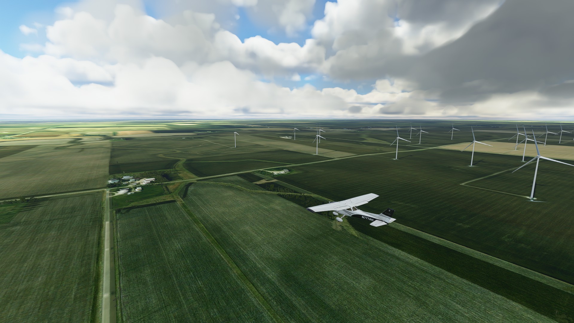
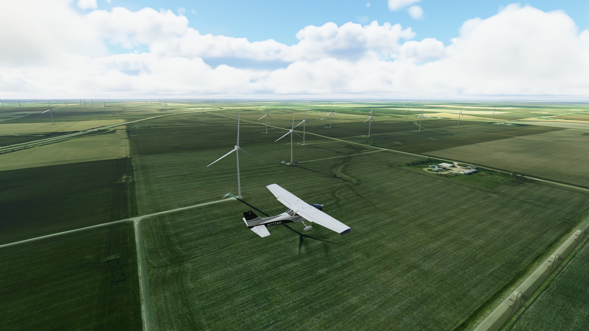
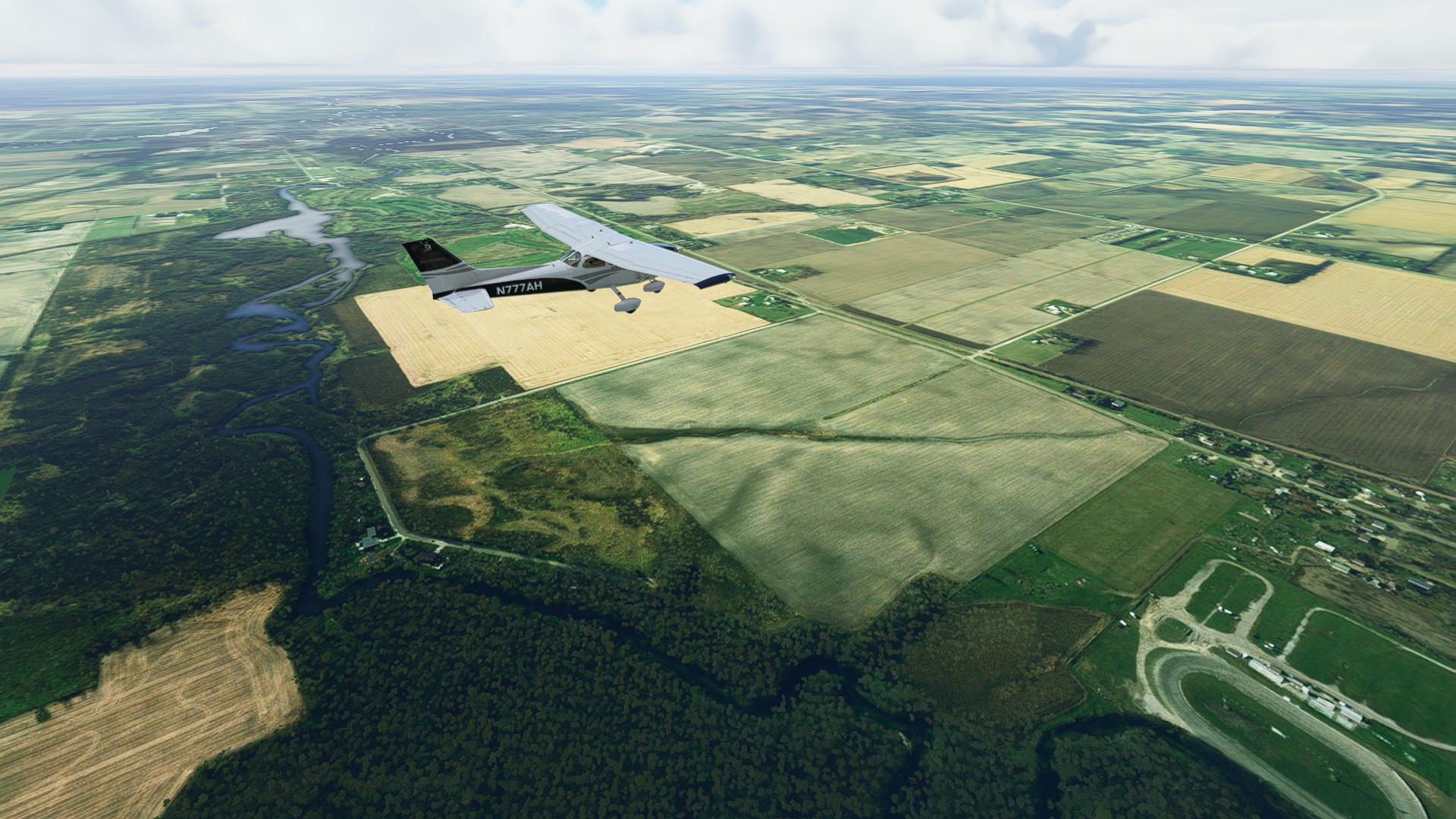
Not on the Sectional - Pete’s Airport is flanked by a LOT of windfarms.
Leg 10: Pete’s Airport (Grand Meadow MN) to Worthington Municipal (Worthington MN)
132nm, 01:18:00 enroute.
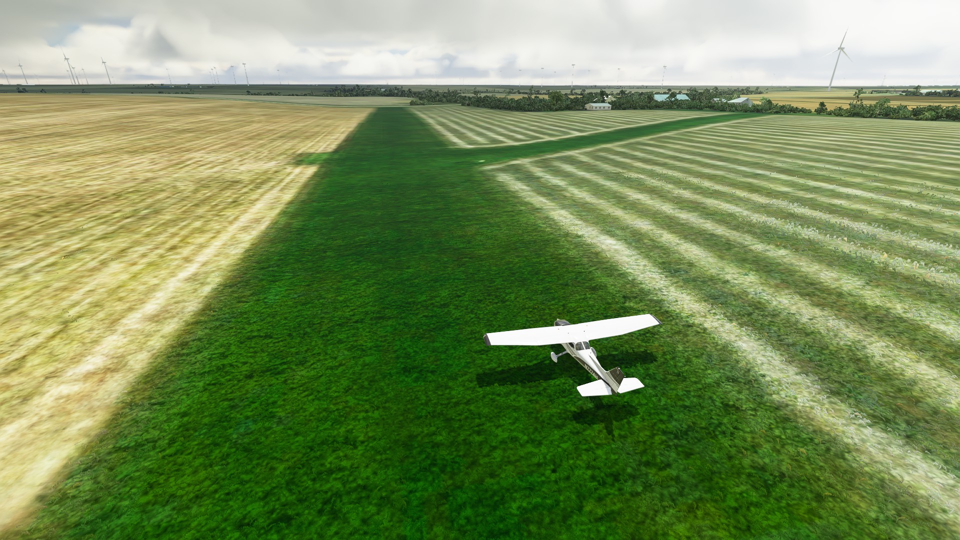
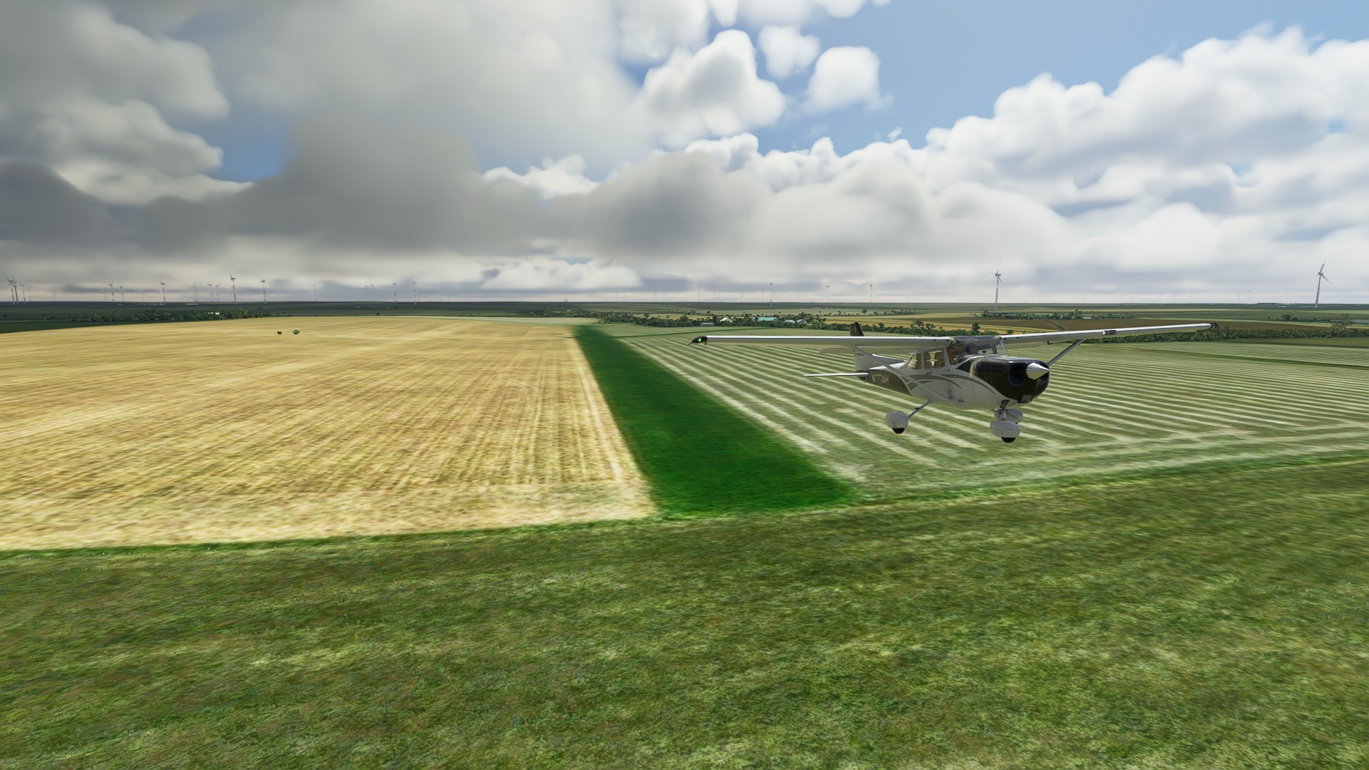
Departing Pete’s Airport:
Crossing the Cedar River north of Austin MN:
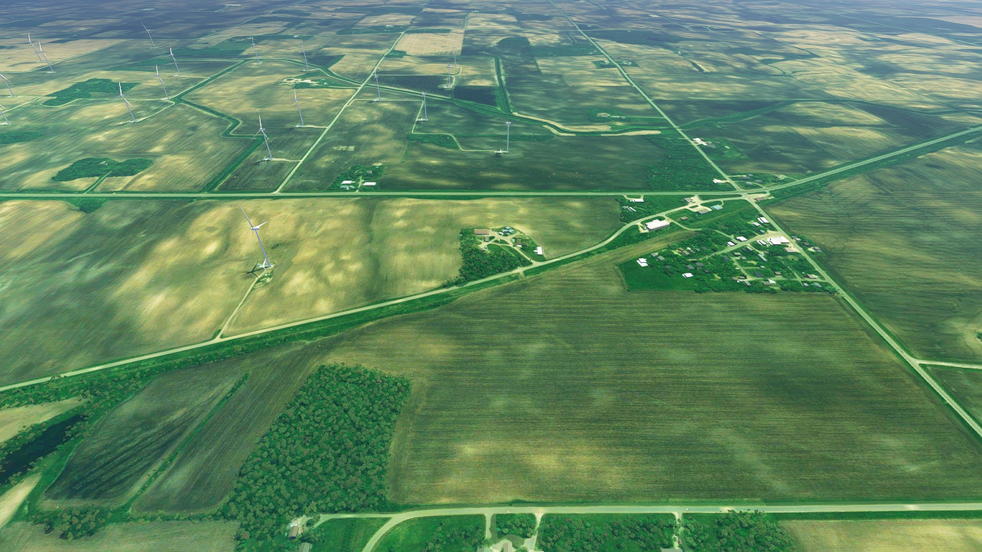
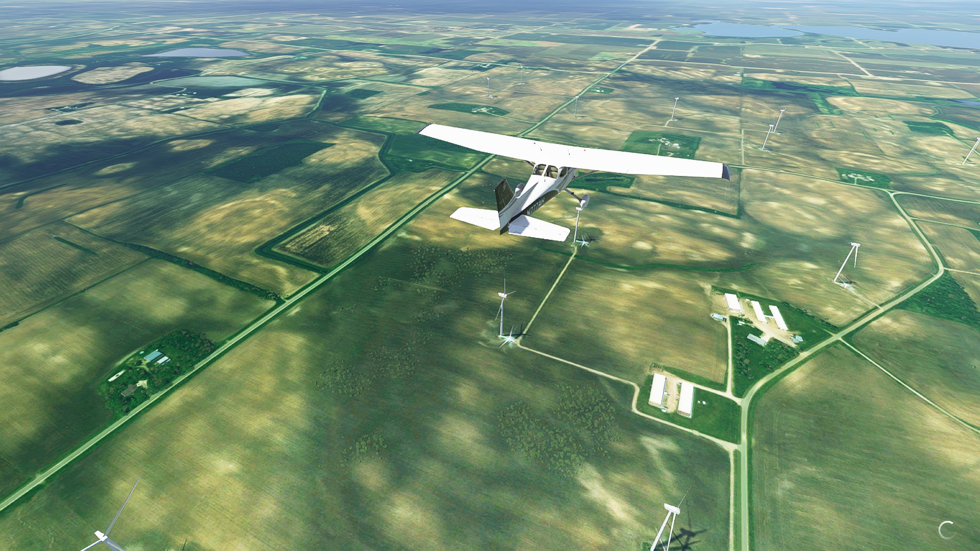
Windfarms everywhere:
Passing Albert Lea Municipal (KAEL):
Arriving into Worthington Muncipal, it’s actually pretty large for an uncontrolled field.
Leg 11: Worthington Municipal (Worthington MN) to Nicolaisen (Mt. Vernon SD)
We’re at about the half-way point on this journey. Switched to the Caravan to try out Sim Update 4 Turboprop improvements, in anticipation of flying some high altitude rough fields as we get closer to the Rockies. The Caravan made quick work of this leg. 116 nm 01:09:00 enroute.
Departing Worthington Muncipal:
North of Sioux Falls SD and Joe Foss Field (KFSD):
Passing Mitchell SD just east of our landing field Nicolaisen:
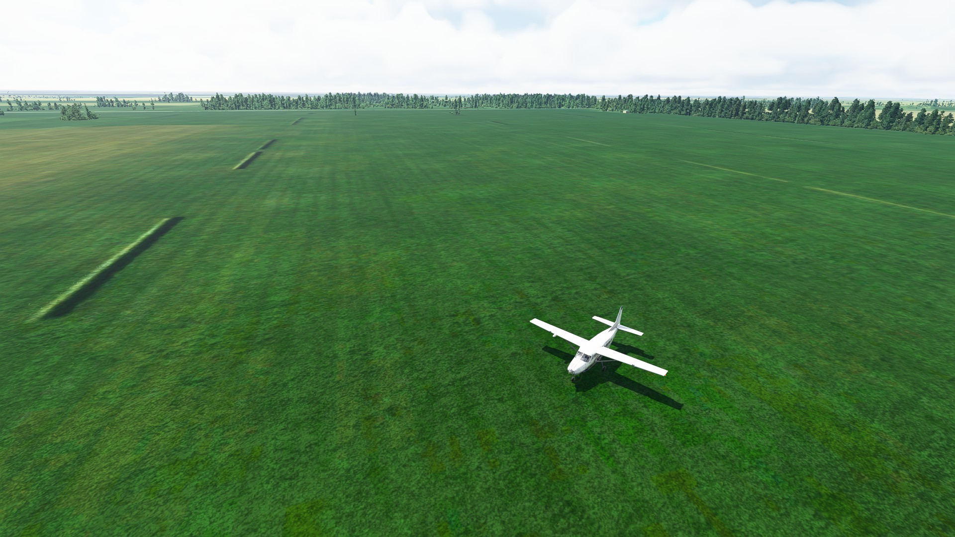
For a rough strip, Nicolaisen is enormous.
Love this. Even though I created it, I haven’t had a chance to get past the leg into NY state. This is inspiring me to git ’er done.
1 Like
Some of those fields you picked are doozies!  This is a great plan!
Ha, it does seem so. Hopefully the interstate is in view for most of the journey?
Long shot, but if you have an Nvidia graphics card, check in their control panel to see if anisotropic filtering is set to off. I was having the poor draw detail in the distance that you seem to be having. I switched it back to “let the app decide” and it’s been as Asobo intended.
It absolutely is. Good job tracing the route with those fields.
I’ve got an AMD card, but I’ll check my card driver settings and see if I can enable it. Thanks for the tip!
I’m doing the same using the I-80 but in the opposite direction. Looking to also trace part of the route in American Truck Simulator.
Might have to use this route for the journey back.
1 Like
Leg 12: Nicolaisen (Mt. Vernon SD) to Kadoka Municipal (Kadoka SD)
143nm 1:04:00 enroute.
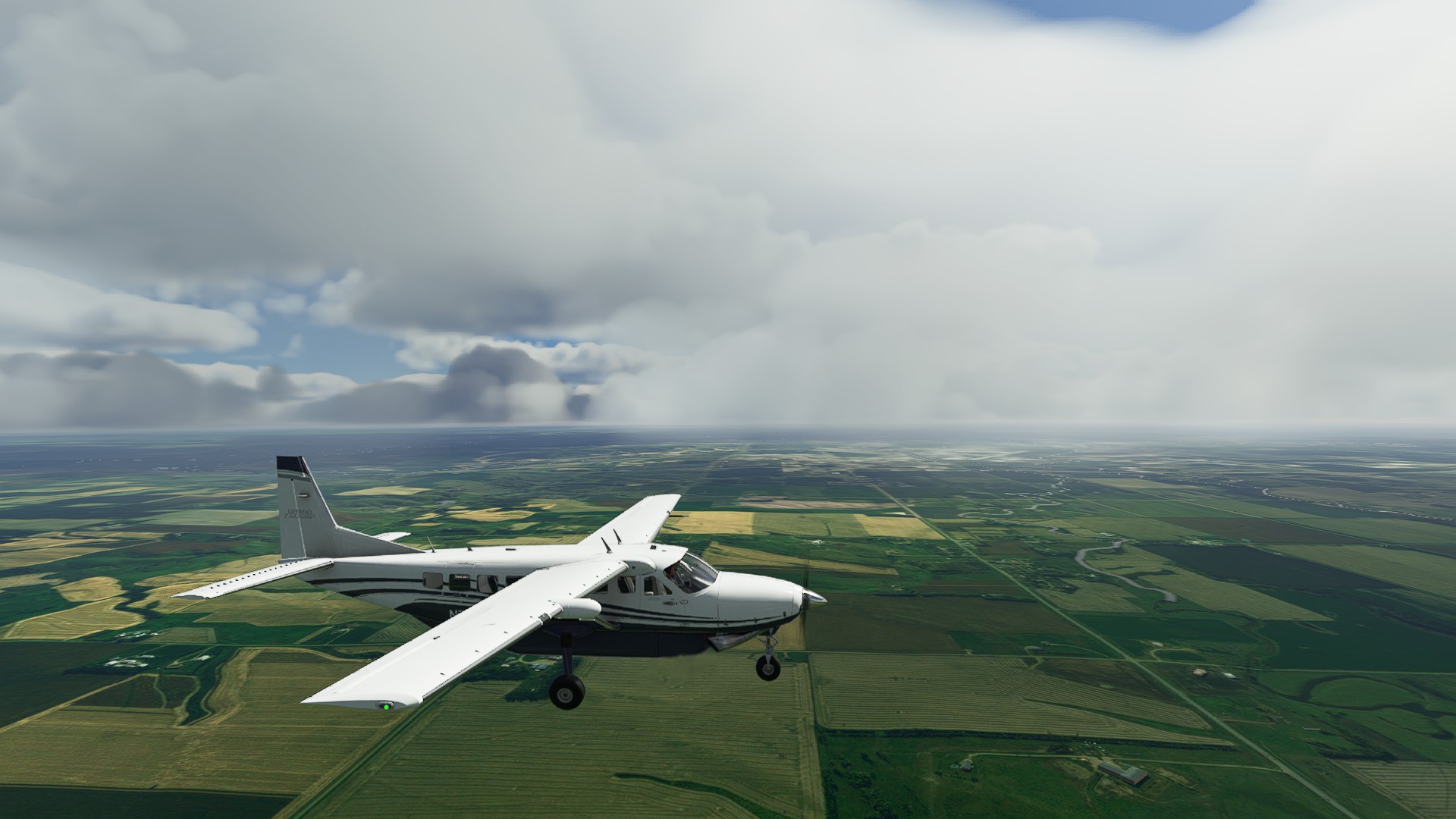
Departing Nicolaisen, it was nice getting proper turboprop performance for rough field ops.
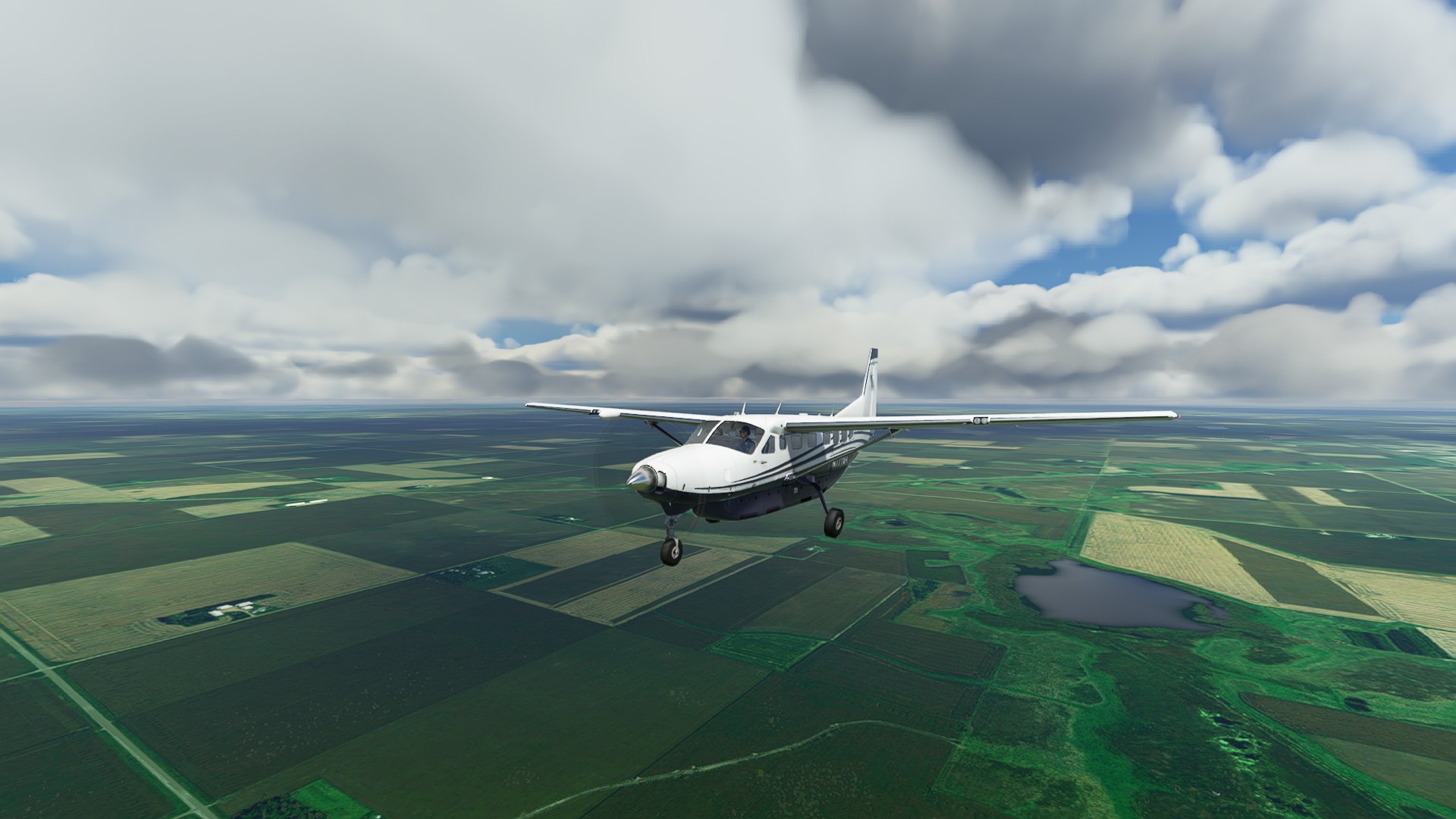
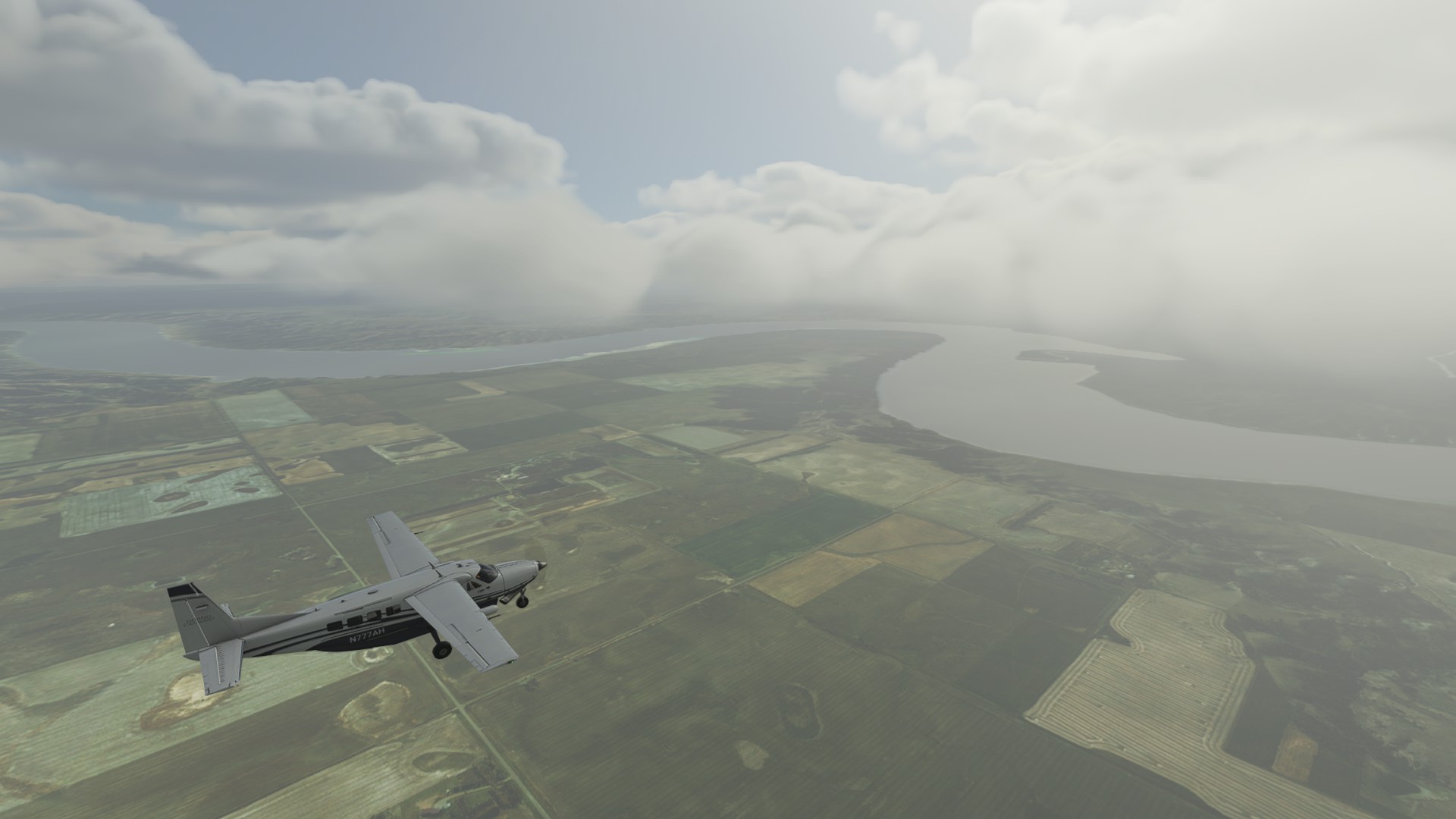
Mixed WX, low hanging scud but that was a little beneficial given the westward path staring straight into the sun.
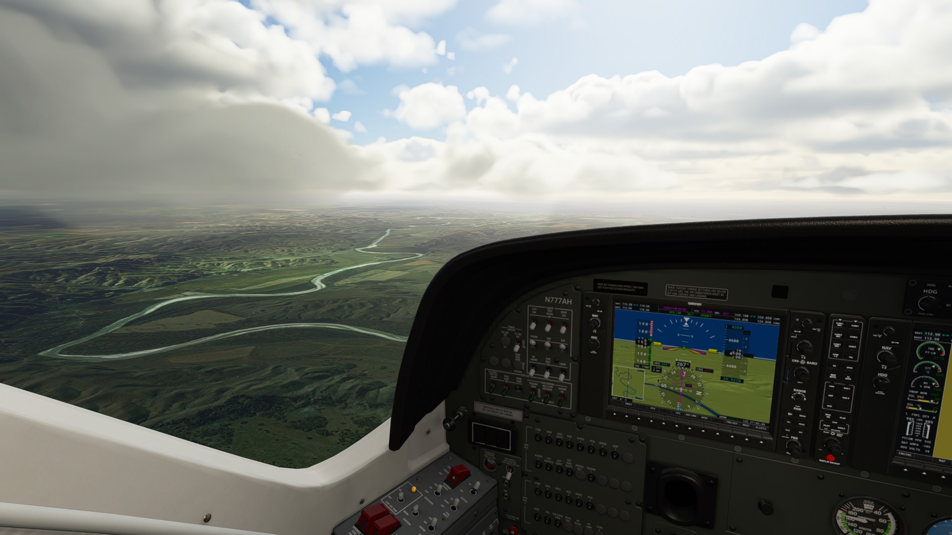
Crossing the Mighty Mo (Missouri) River!
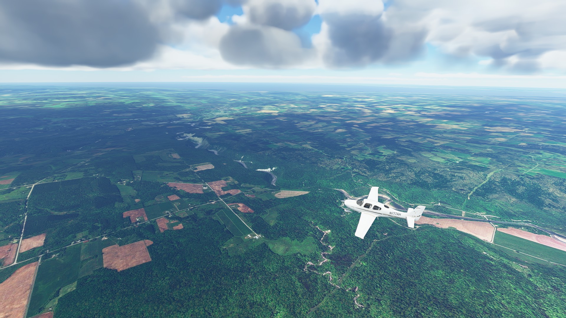
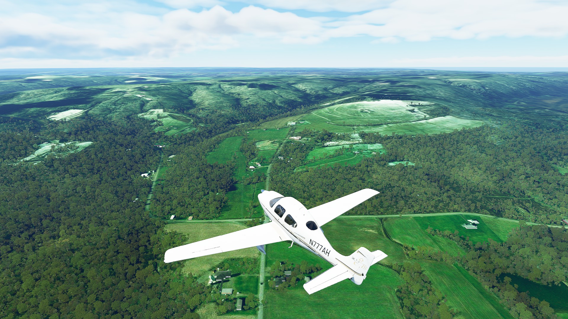
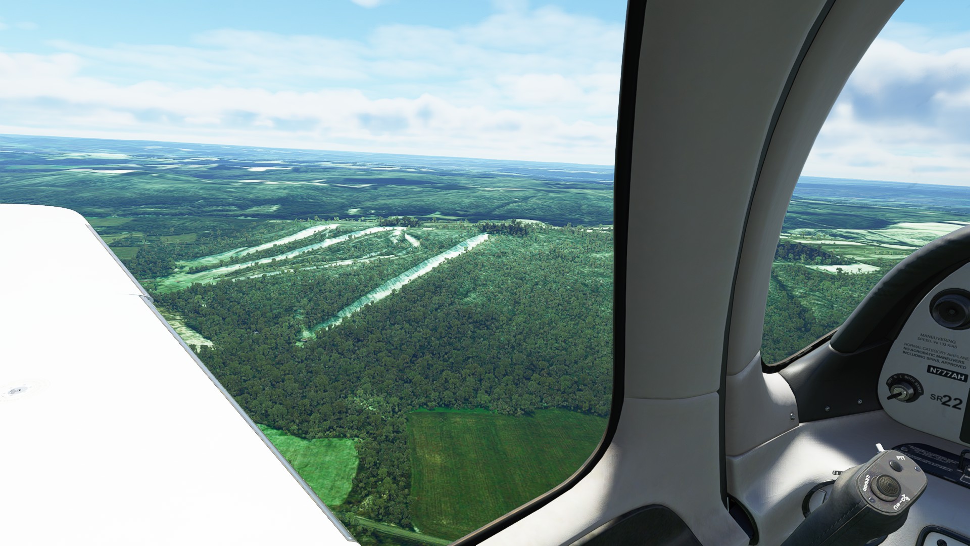
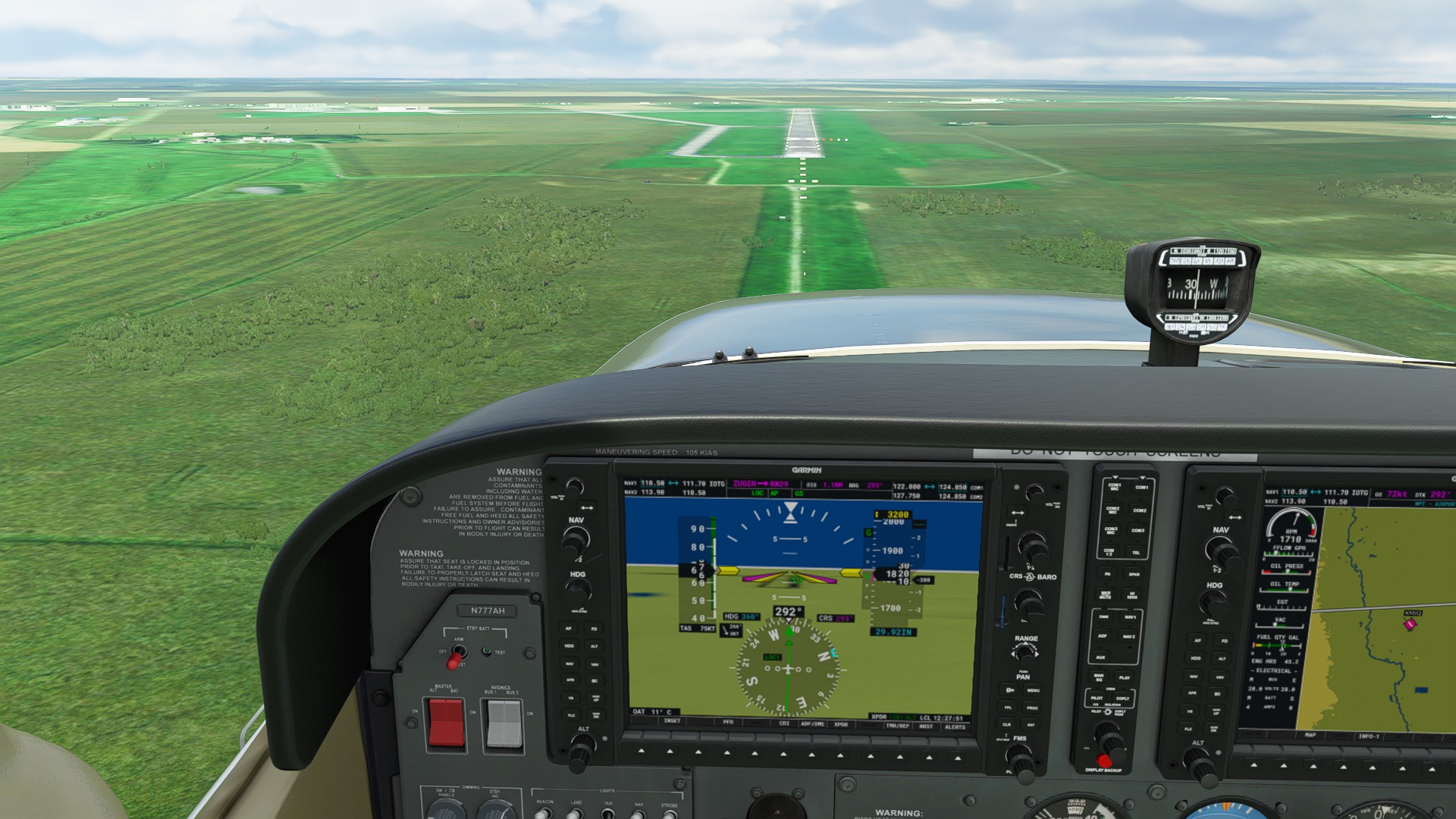
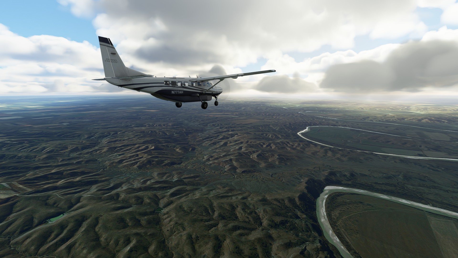
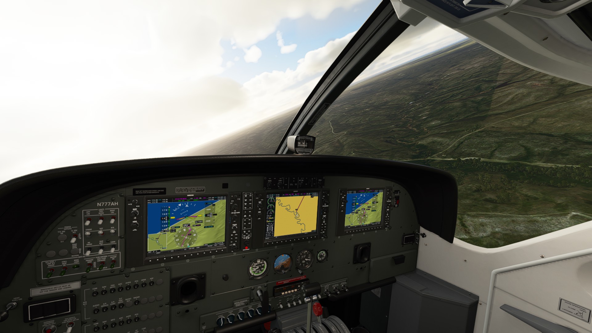
We follow the undulating White River which parallels I-90 and winds past our destination field Kadoka.
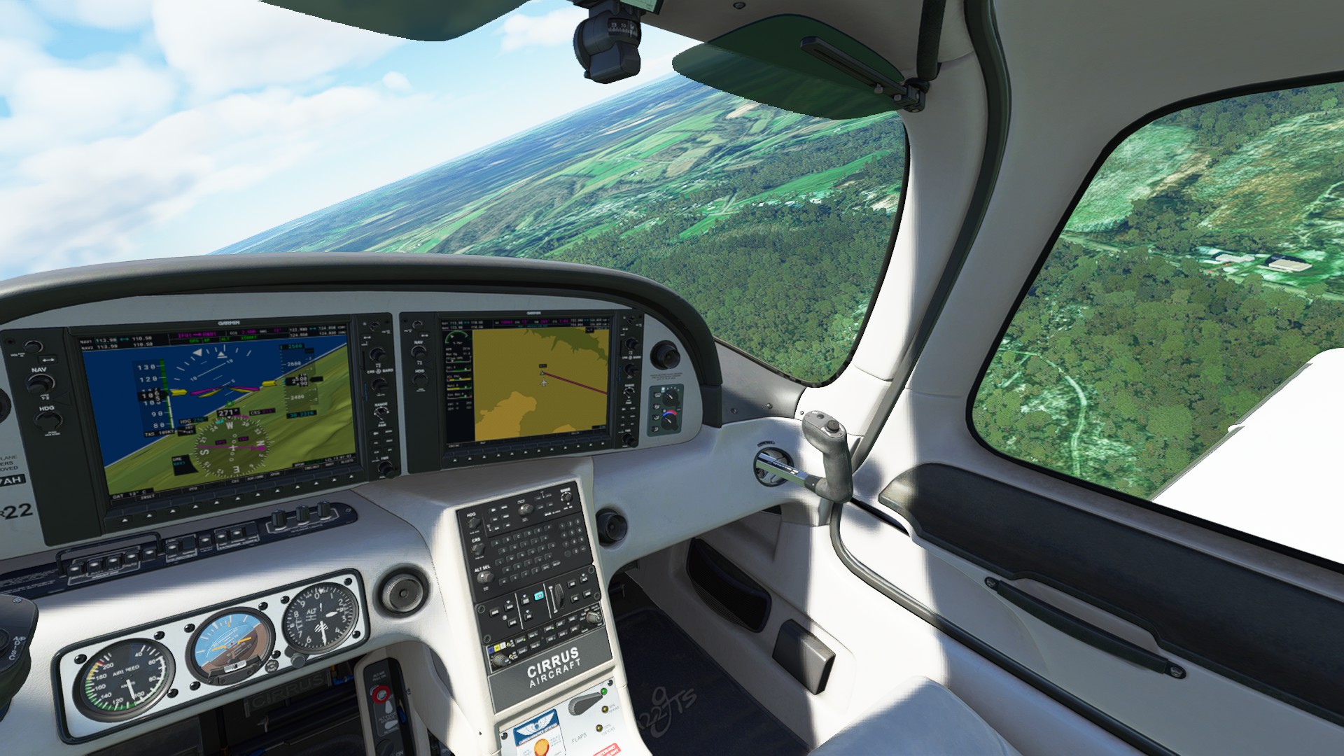
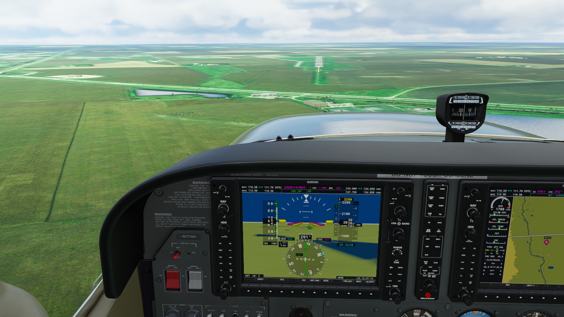
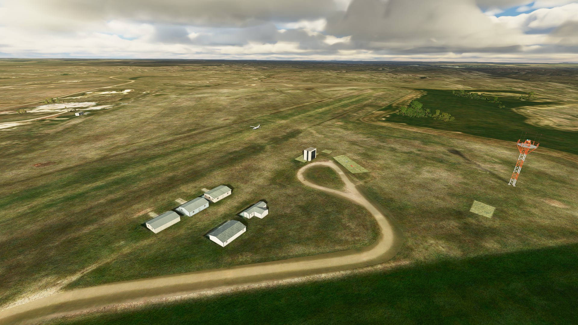
Turning into the approach for Kadoka and arrival - it’s great that Little Nav Map lets you build a custom approach, which helps to find these smaller fields.