Earlier this year there were many large fires in the Western US putting a LOT of smoke and ash into the air. Winds would often blow the smoke hundreds of miles away causing some airports in the region to go MVFR or IFR. METARs would correctly show little or no clouds and limited visibility due to smoke. AFAIK MSFS does not model smoke and ash as part of the weather. There are other regions that sometimes have reduced visibility due to high winds blowing dust or sand. If MSFS implements Visibility into the Weather modeling, I wonder how these visibility restrictions due to smoke or dust would be displayed if there are no clouds.
Where is the METAR, I only see a TAF in your post? MSFS does not work with TAFs or METAR TRENDs as far as I know. I don’t know when your picture was taken, from 1900z the visibility has never been below 3500 m in LFPG so could be accurate? Before 1900z there was some lower visibility, 1000 m on average, RVR of 2000 m or so.
Its impossible to use forecasts accurately, TEMPOs and BECMGs don’t specify exactly when a change will occur, they specify a window of time within which a change will occur. For real world flight planning purposes we therefore assume change in weather conditions taking place at the beginning of a time window in case of deteriorating weather, or at the end of the window incase of improvements (worst case). The change could occur anywhere within the window of course, or not at all.
TEMPO means a temporary change in weather, not longer than one hour continuously and in total not more than 50% of time window, good luck with that. In other words, don’t expect the sim to match the TAF. Spoiler alert, the real world weather doesn’t match the TAF either, its an educated guess. In case of a TEMPO with CBs, rain and gusts, its better to rely on weather radar information to draw those in the sim compared to using METAR or TAF data. Same for visibility, you don’t know when, where or how (or even if).
Visibility and RVR are measured using different criteria and depend on whether it is day or night, the intensity of runway lights, and how bright the runway lights are compared to the background. Using Converted Meteorological Visibility, at night, with high intensity runway lights, you can expect a RVR equal to visibility times two.
In such case the METAR visibility would be reported as:
VA = Volcanic Ash
SA = Sand
DS = Dust Storm
SS = Sand Storm
FU = Smoke
Problem is that those scatter light differently and have a different color.
Just move the view down so you only see the panel. Problem solved.
1 Like
lkowgli
Is that supposed to be funny? Don’t you think a modern simulator should be capable if even FS2004 could simulate that? That ain’t rocket science, looks like the priorities are rather to make fancy videos and look great.
Nijntje91, METAR is following:
METAR LFPG 122200Z 19007KT 5000 BR BKN004 BKN030 09/09 Q1027 NOSIG`
It could be accurate. Anyway, my point is, due to clouds rendering fog, visibility is just random. Could be met or not. Just dependent on the cloud rendering positions.
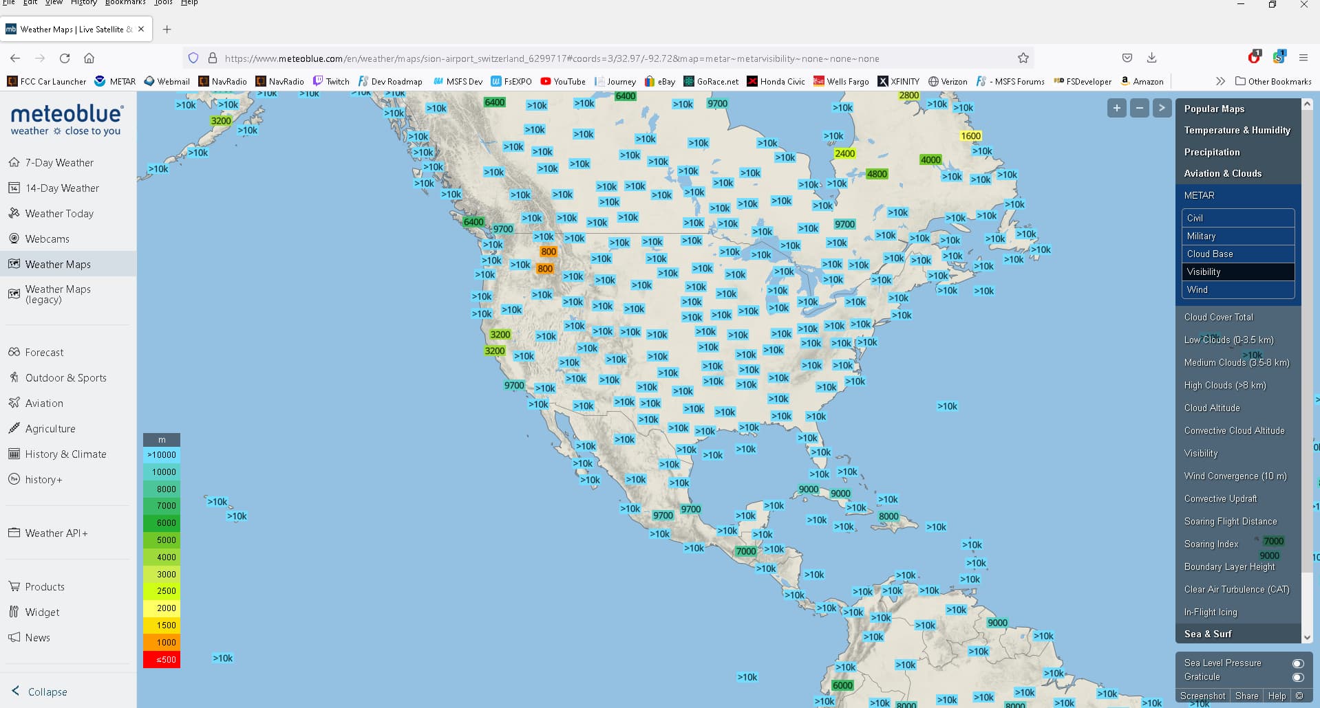
MetroBlue does produce Visibility data, but maybe they are not (or not yet) being used by MSFS. ?
I really wish some of this was more openly documented to the users by Asobo/MS.
They make a great thing about the weather, and how they are working with MetroBlue, and how “Great” it will all be, but do not actually tell the users much about any details, leaving everyone to theorize and try to explain what they see, and why it does not appear correct.
Now, of course, MS / Asobo are under no specific obligation to tell anyone, anything … endless information about the internals of MSFS were not something Users of the software specifically purchased.
If it all worked correctly as expected, maybe we would all be happily flying, as opposed to asking so many questions on a Forum ???
Meteoblue has a lot of weather information perfect for amateur meteorologists and pilots. The difficult issue for MSFS is how to create as accurate as possible the simulated weather from all the available data. Reduced visibility due to smoke, snow, rain, etc looks different than fog…

Wow, RIP to people living in Chad and Niger… those levels look dangerous. And I thought my hometown Jakarta was bad, it’s barely yellow in there.
And Beijing too… whew…
Doesn’t have to be smog, can also be natural. Africa most probably sand in the atmosphere.
This topic was automatically closed 30 days after the last reply. New replies are no longer allowed.