Hi all,
Since MSFS’s release in August 2020, there have been 5 World Updates (WU) which focus on improving local sceneries (mainly DEM, photogrammetry, new auto-gen buildings). While it’s nice to have regions being updated gradually, I can’t help but notice that some important scenery objects may never be updated by this process. Below I want to point out a few
-
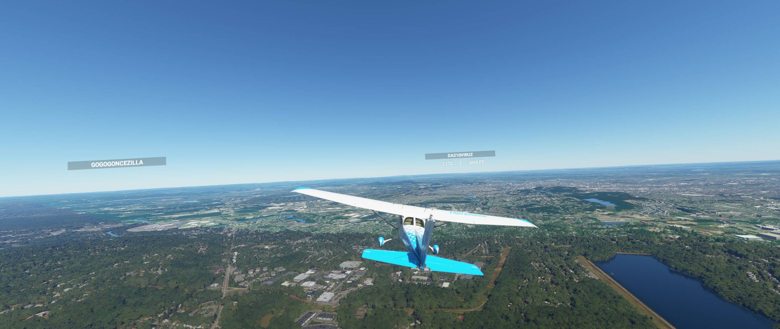
Road overlay and vehicle traffic
We all noticed that most of time there’s a semi-transparent overlay on top of the road texture which is used to indicate that it’s a road. This surface creates traffic from one end node to the other. It seems to me that this overlay is sourced from a different map service than the satellite imagery- Firstly, I have to say the overlay looks unnatural most of the time and I am not sure why don’t we make it 100% transparent.
- Secondly, the overlay sometime does not overlay with the road texture, and sometimes it just shoots into the sky or goes up & down a building
- Thirdly, the traffic generation algorithm could use some work. The cars generally run too fast and sometimes the spawning points are too close so you end up having cars going back and forth like a pistol
-
Texture smoothing and color balancing
-
There’s a lot of texture smoothing going on which is understandable when the plan is to cover the smoothed texture with autogen objects such as trees or buildings. However, it may not be ideal to smooth road textures because there’s no such autogen on top. Instead, a sharpening algorithm could be used to up-resolution road markings. This should be a relatively straightforward task given capability of current AI. Similar things could be said for other distinct and easy to detect terrain features. Below screenshot would be more majestic if the road texture was up-resolutioned instead of being smoothed into oblivion
-
Satellite image tends to have a green tint, which may or may not be noticeable depending on your sensitivity. And most of the time, it is hard to re-balance the color distribution without having a reference point. However, this issue becomes much more noticeable but also more solvable when a photogrammetry area is nearby. Firstly, we can see the clear line separation between PG area and non-PG area. Secondly, we should be able to balance the color of non-PG images by PG color close by. See below clear distinction between PG & non-PG areas (try to find the lines):
-
Also, sometimes the smoothing is too much which almost removed any usefulness of satellite image
-
-
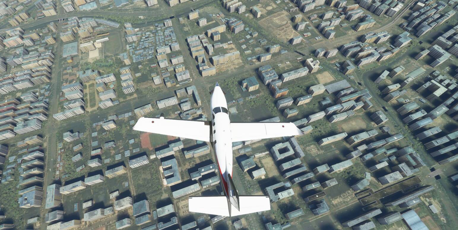
Building textures
- I think a lot of people have noticed this as well - some residential autogen buildings have very grainy autogen textures. They seem “dirty” from afar and I am not sure if it’s a DX11 thing or texture thing
- PG buildings are dark or very light absorbing from distance, more so than autogen or custom landmarks. This usually makes city look less lively from sky
-
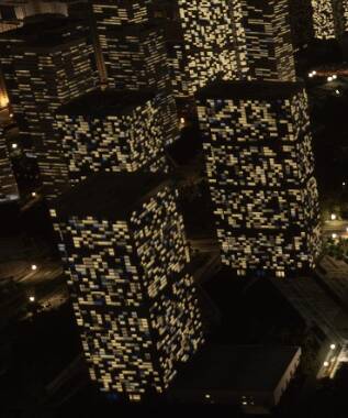
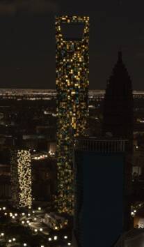
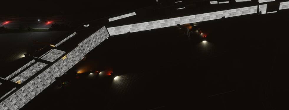
Night lighting on autogen buildings
I am not so sure what is off for autogen lighting but it looks very “fake” to me. I think it may be related to the variety of color, brightness, shape, density, or maybe autogen buildings are just boring matchboxes in general.- Lighting on autogen buildings (city & airport)
- Lighting on a custom building which looks more convincing
- Lighting on autogen buildings (city & airport)
-
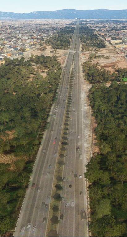
DEM smoothing under road
Having high resolution DEM data is generally a good thing except for road elevation that is supposed to be smoother than surrounding terrain. Some smoothing algorithm could be applied- I am pretty sure the actual road is less bumpy than what is shows here in MSFS
- I am pretty sure the actual road is less bumpy than what is shows here in MSFS
-
Bridges …
Shall I say anything more? You cannot fly underneath it because it’s actually a wall with an invisible bottom part. The shadow or reflection on the water from the bridge looks weird from certain angles. Cars sometimes just fly through the bridge because the road overlay goes bananas. The road texture of bridge is an autogen, and most of time does not blend in with surrounding road satellite images at all. Below is a prime example of a lot of the problems I mentioned so far
-
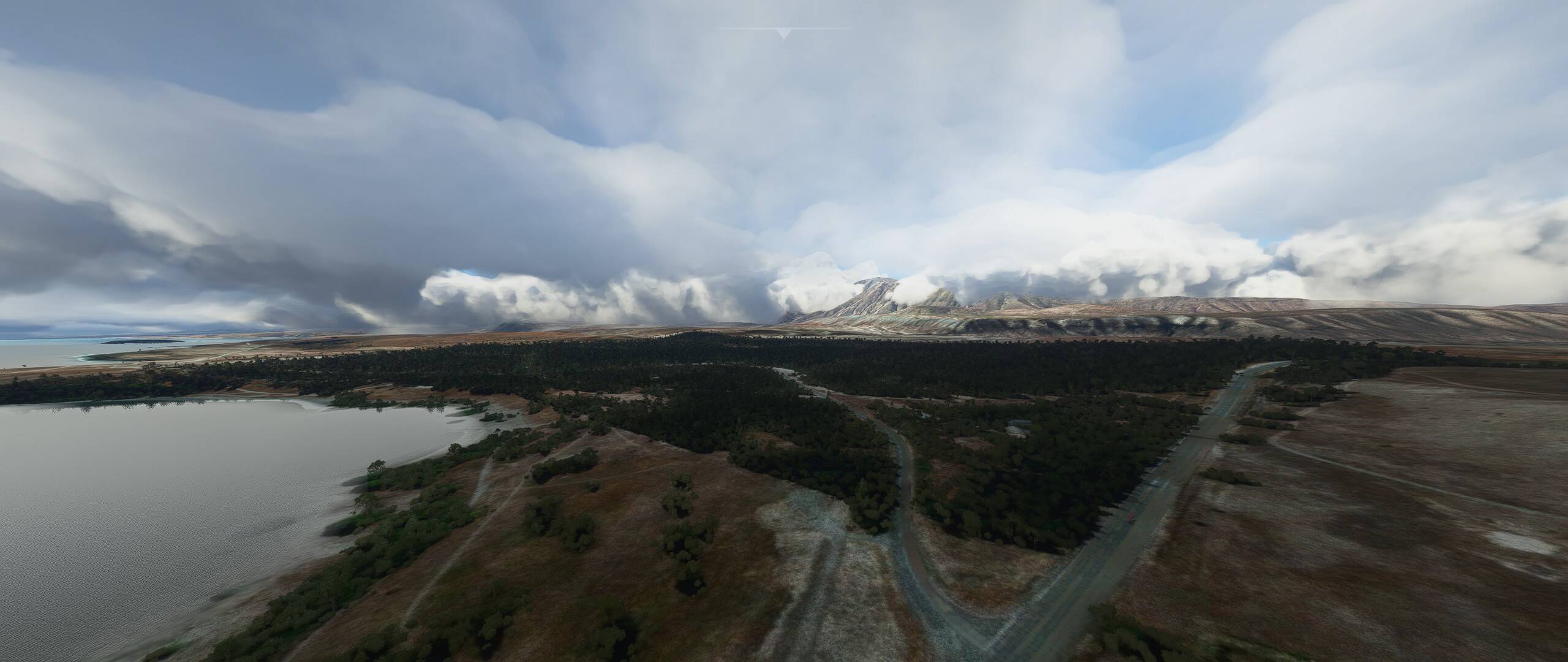
Trees drawing distance
Sometimes I feel they are more sparse than the sesames on my red bean buns and they don’t look right to me.


Other minor things that do not bother me as much as above ones
- overcast condition seems too dark compared to real life
- sunset sky is always orange/red but real life is mostly blue
- clouds sometimes can be too fluffy or less defined at the edges which is usually not true in real life
- vegetation in general - needs more variety, more colors and better draw distance
- can we have API for autogen that allows custom AI generated building? (probably not because I think the autogen building is predicted beforehand instead of on the fly locally)
Overall, I love what Asobo has achieved in the first year of MSFS but sure hope we can address these little but important things at some point in the future.
Btw, please someone releases a good (looking) F/A-18 in MSFS!