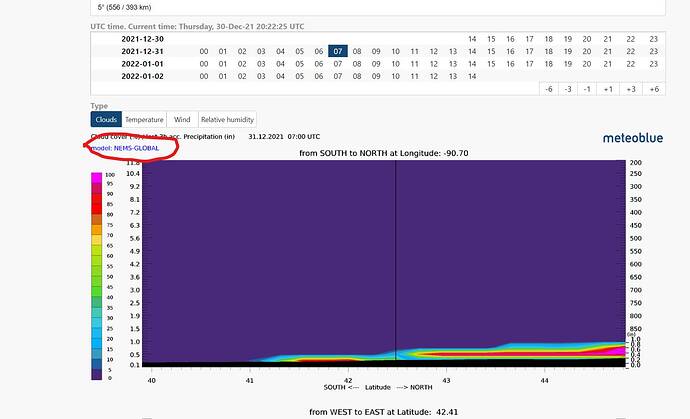
Maybe, look at the red marked area we can see what kind of model is in use. That changes depending on where we look at. It’s not always the same model in use there.
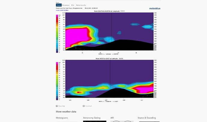
It’s cool that they draw the terrain also on that. Look the bottom black part in a mountainious area.
Like this
Most part of the US use nems global it seems. Here in Sweden it’s nems 12 EU.

