Islands of the Atlantic - South Georgia and the South Sandwich Islands

Part 1 - South Sandwich Islands

Located at the bottom of the world, the South Georgia and the South Sandwich Islands are rarely visited by anyone. On this journey, we will travel from south to north, starting at Thule Island. Thule Island, like all the others, was formed by volcanic action, so is mostly rock & ice.

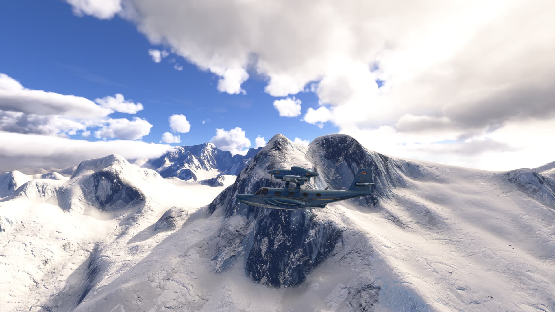
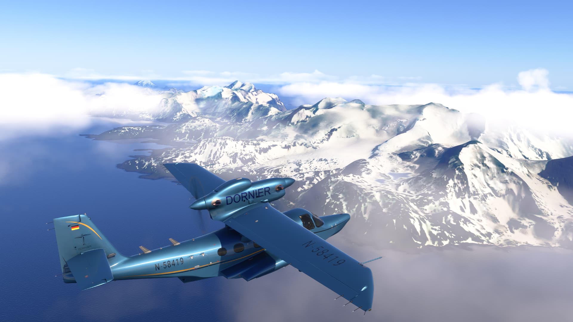
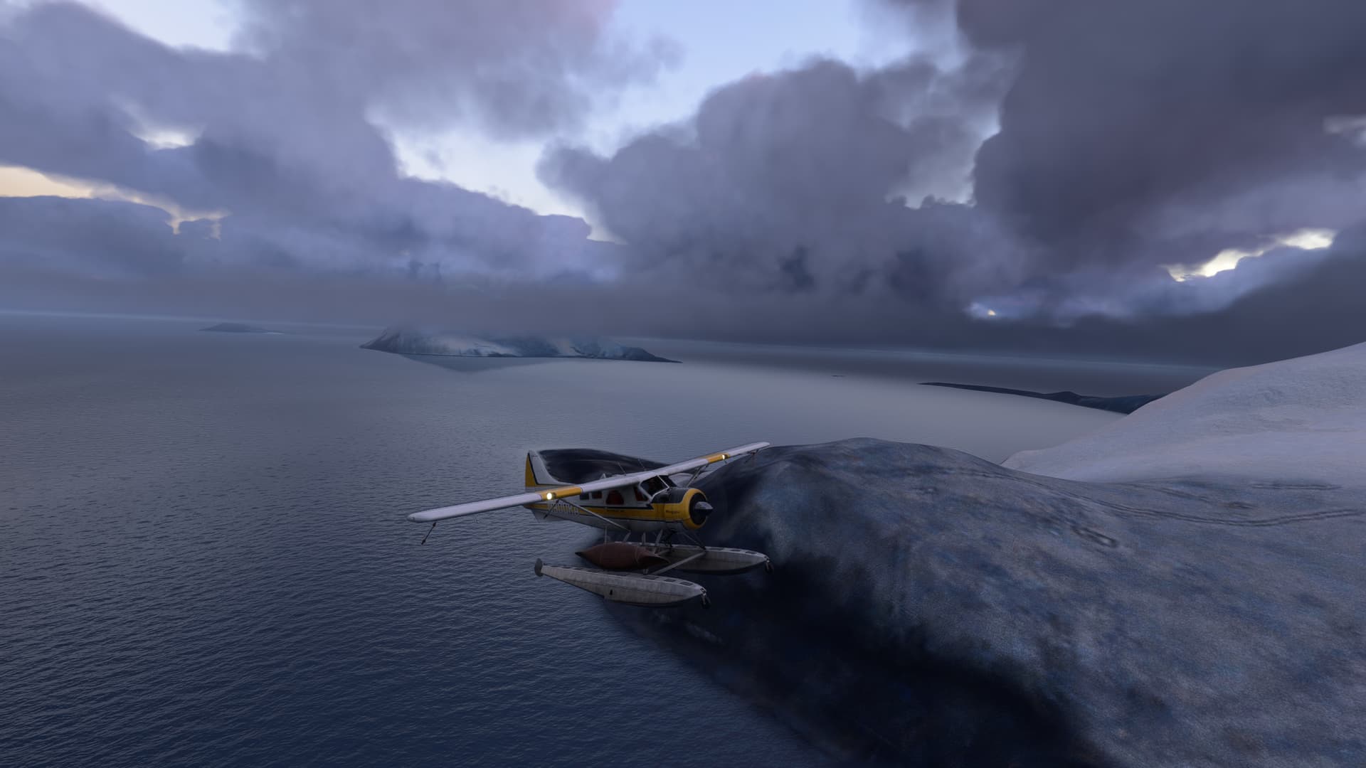
Since there are no airports and virtually no flat spot able to take off from, I chose the DeHavilland Beaver as my aircraft and spawned cold-n-dark just off Beach Point at the north-east corner of the Island. The South Sandwich Islands can all be visited without refueling provided all three tanks are filled to capacity at the start of the flight, and you maintain good fuel management.

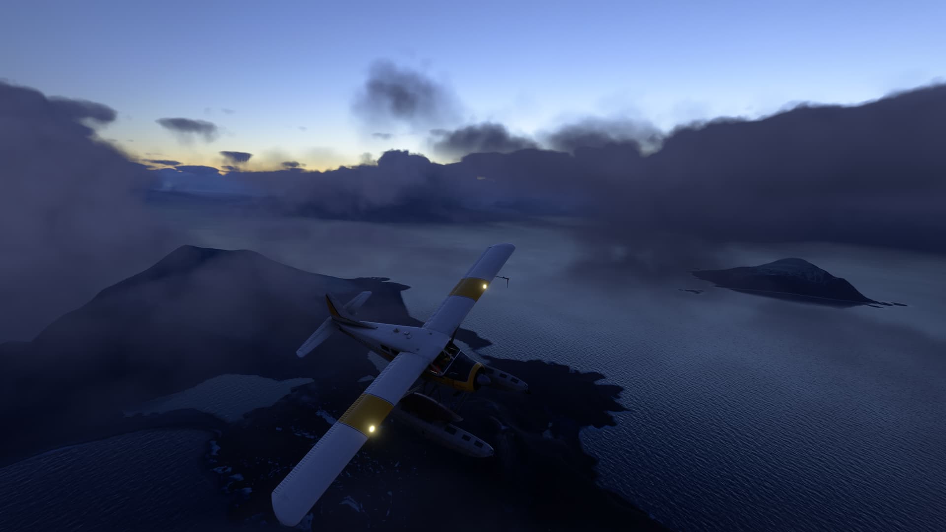
Here we are, just after take off. The perceptive will notice that in my haste to depart, I failed to remove the covering over the pitot tube. Hmm. Guess I’ll be estimating my airspeed on this trip!

Cook Island, the central and largest island of the Southern Thule island group, is named for Captain James Cook:

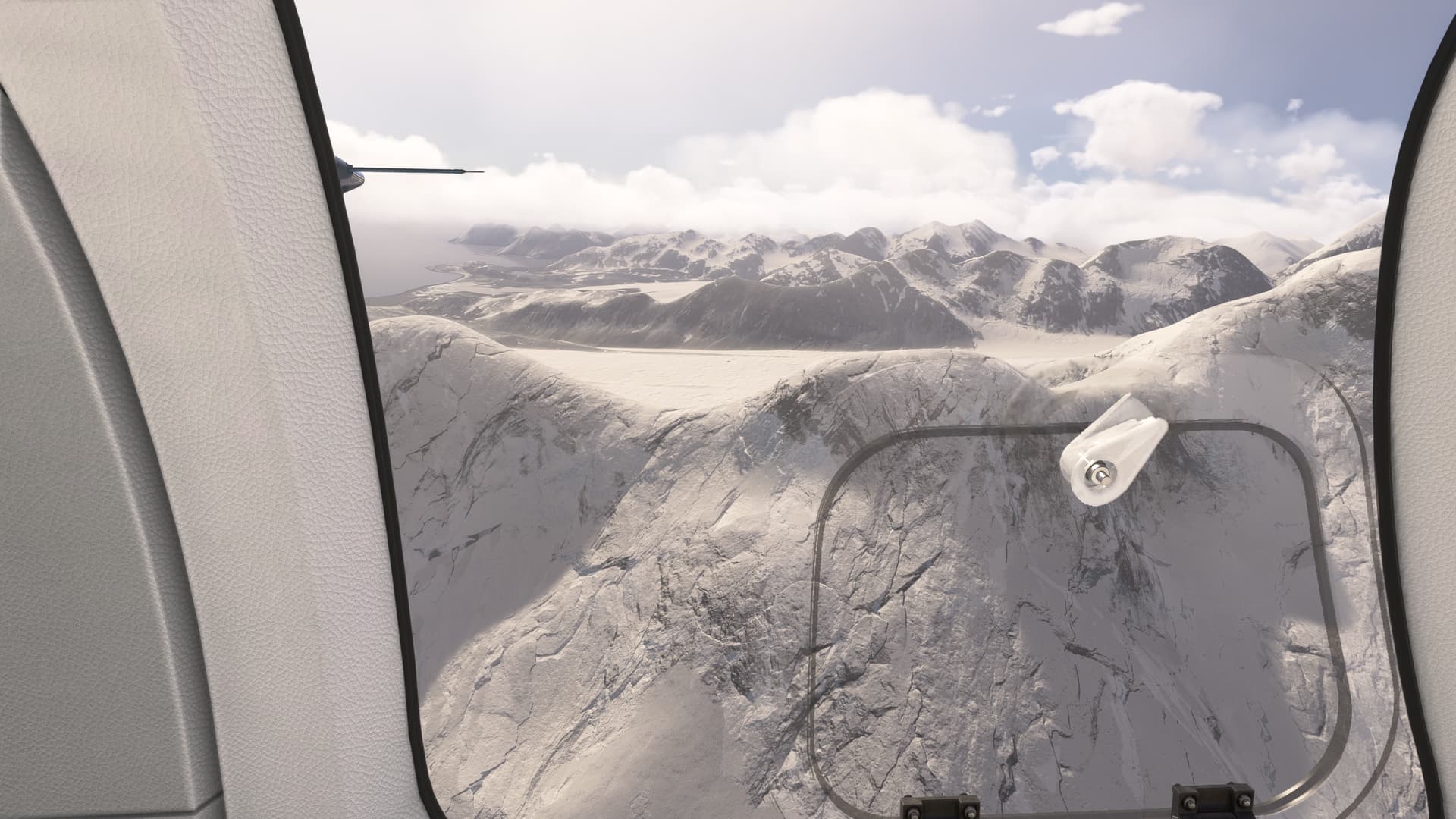
A quick fly-pass in the gap between Mount Harmer & Mount Holdgate, and we continue past Resolution Point and over Bellingshausen Island to the cliffs of Bristol Island:

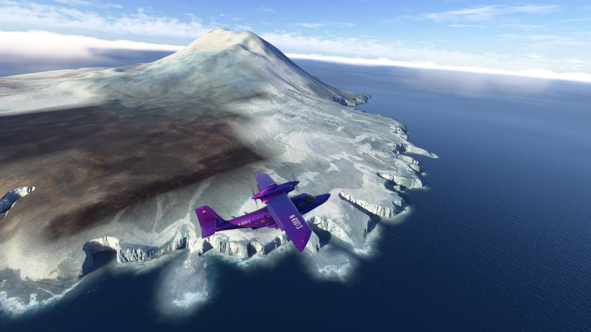
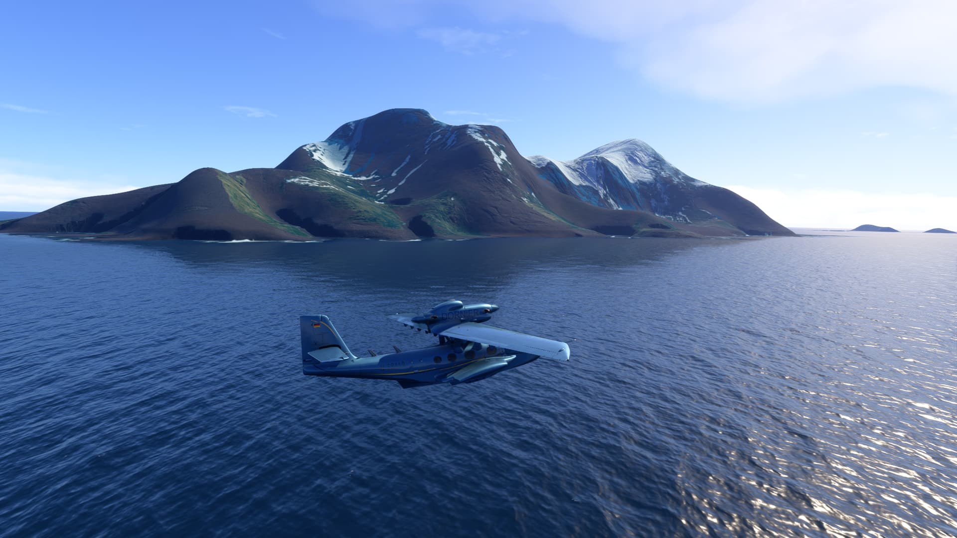
The next island in the chain is Montagu, with the imposing Mount Oceanite:

Saunders Island is composed of the active stratovolcano Mount Michael, which has a lava lake in its summit and there is widespread evidence of recent eruptions across the island:

Further north, Candlemas Island features the heavily glaciated volcanoes Mount Andromeda and Mount Perseus. Just offshore is it’s near neighbor Vindication Island:

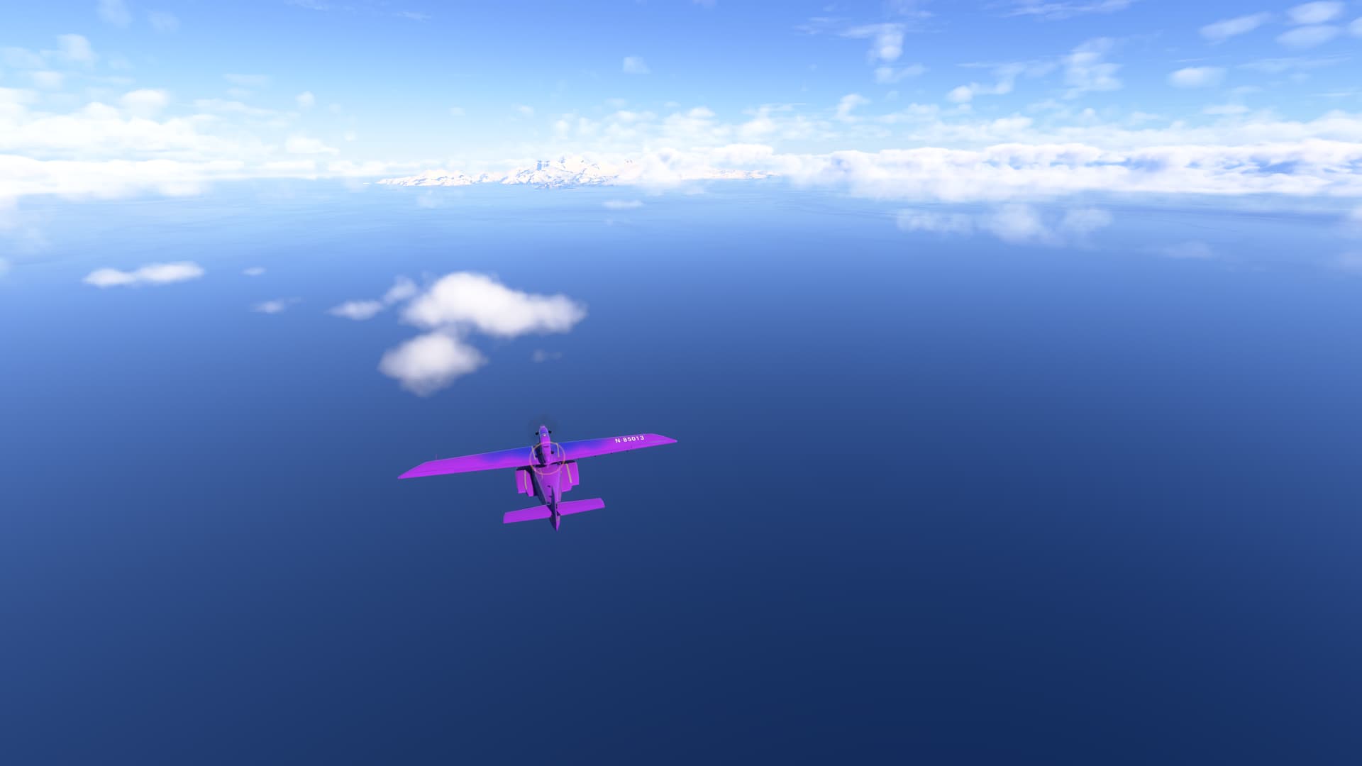
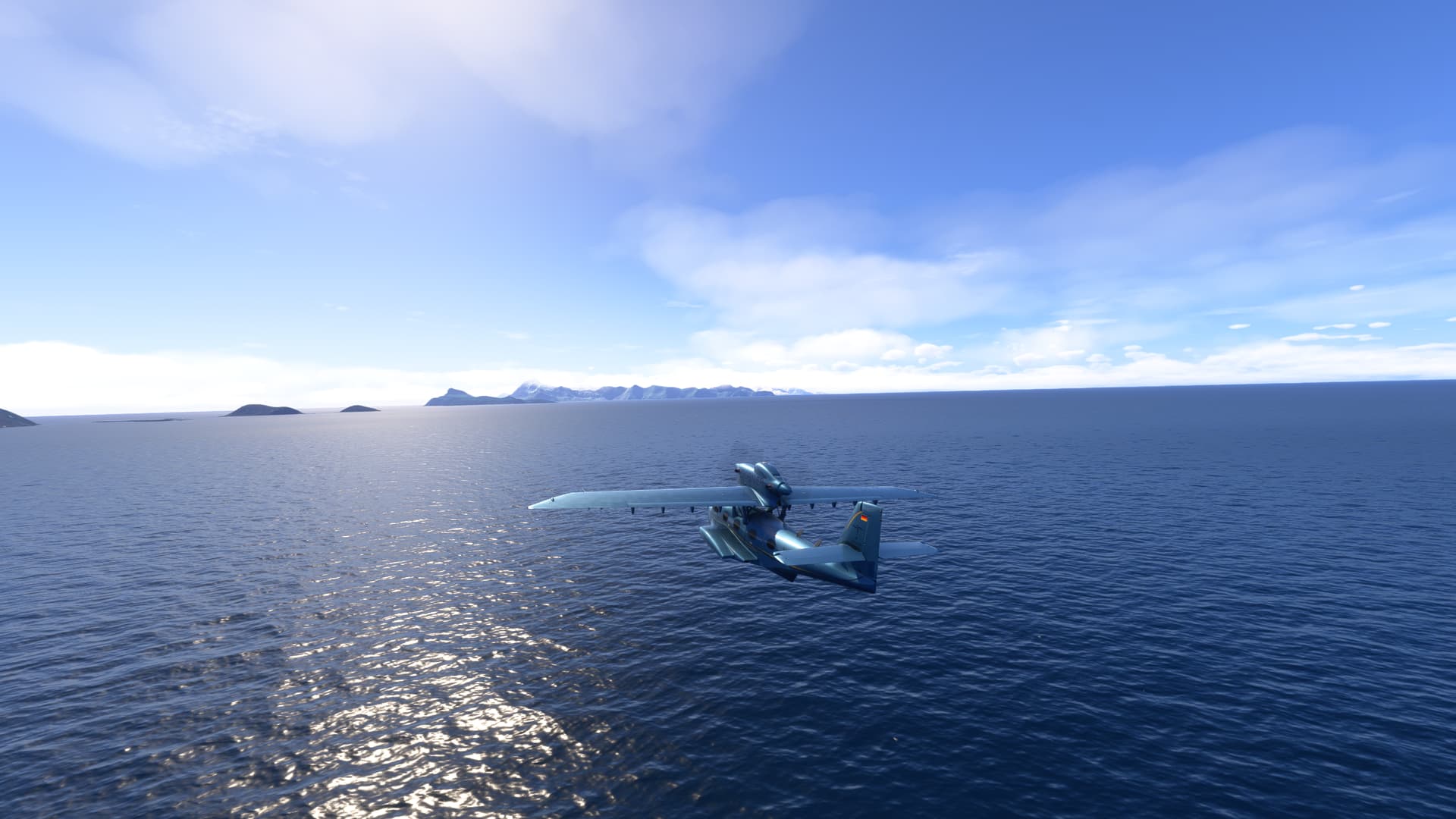
The next three islands in the chain form the Traversay Islands.

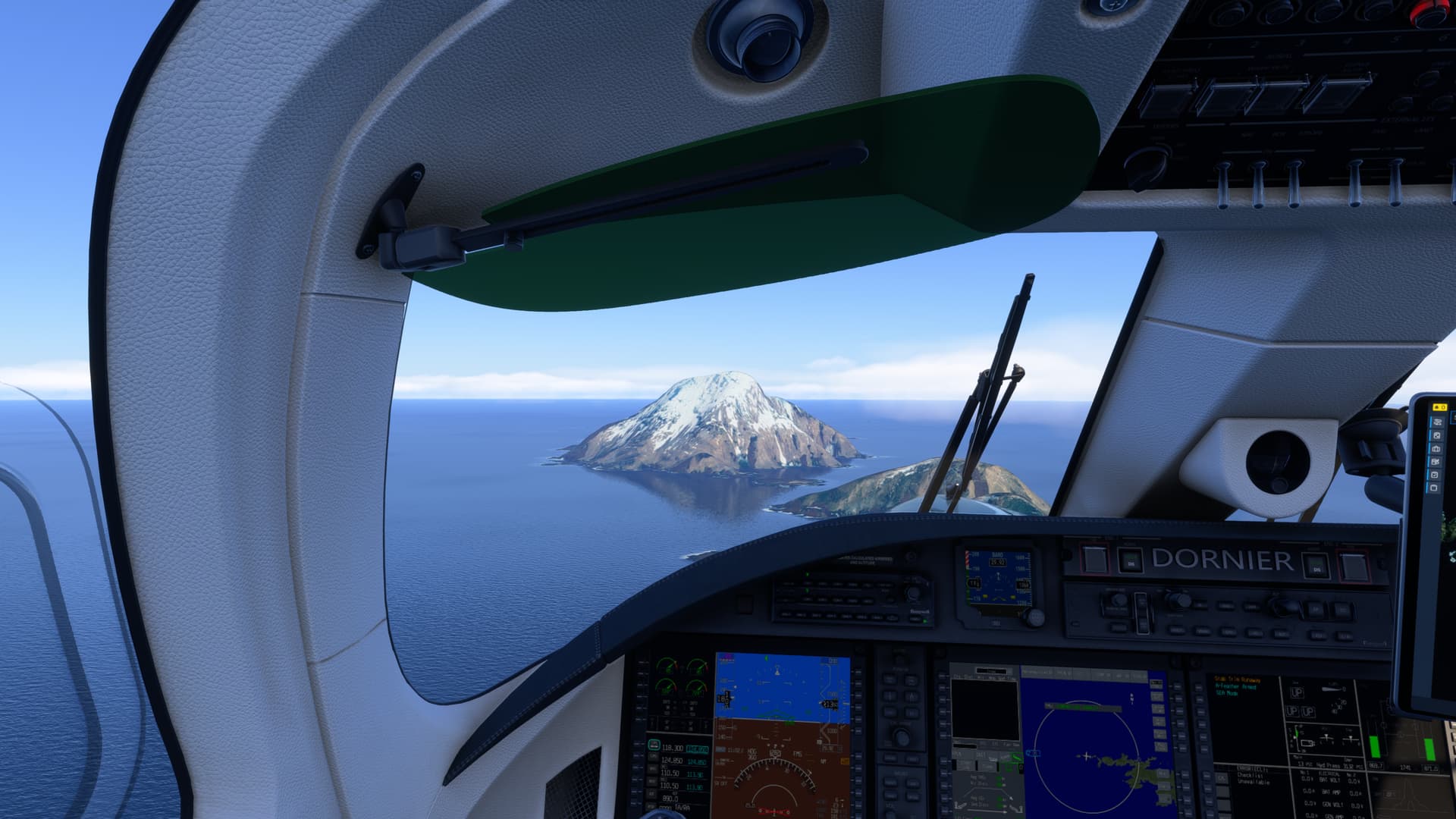
First is Visokoi, which consists of one major volcano, Mount Hodson:

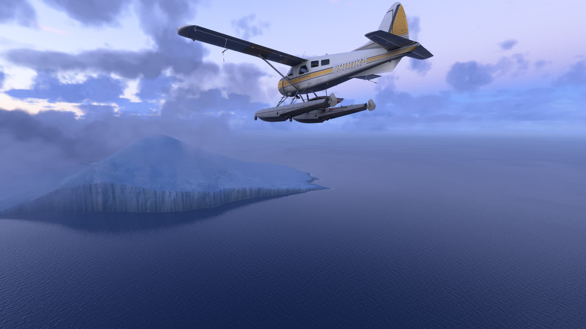
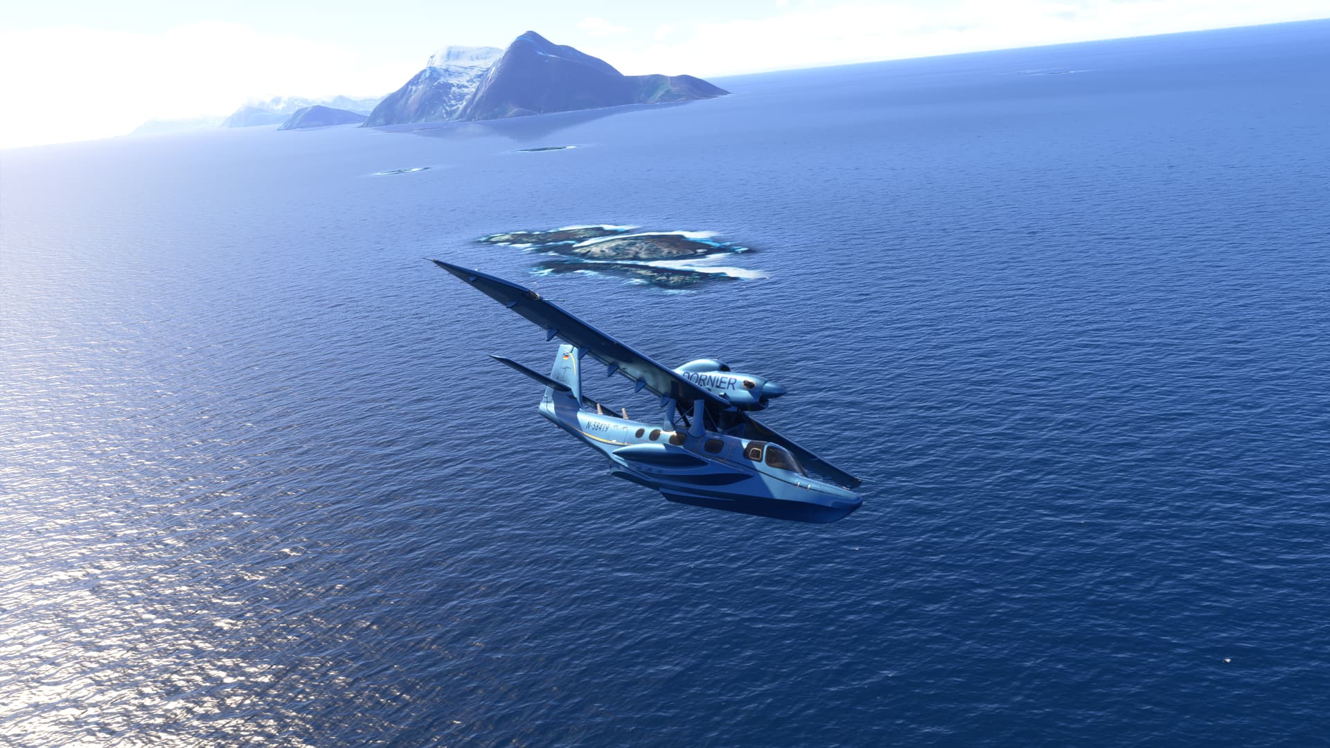
Leskov Island (not pictured) is very small - just a semicircular 190 metres (620 ft) high eroded volcano with a large bay on its eastern side.

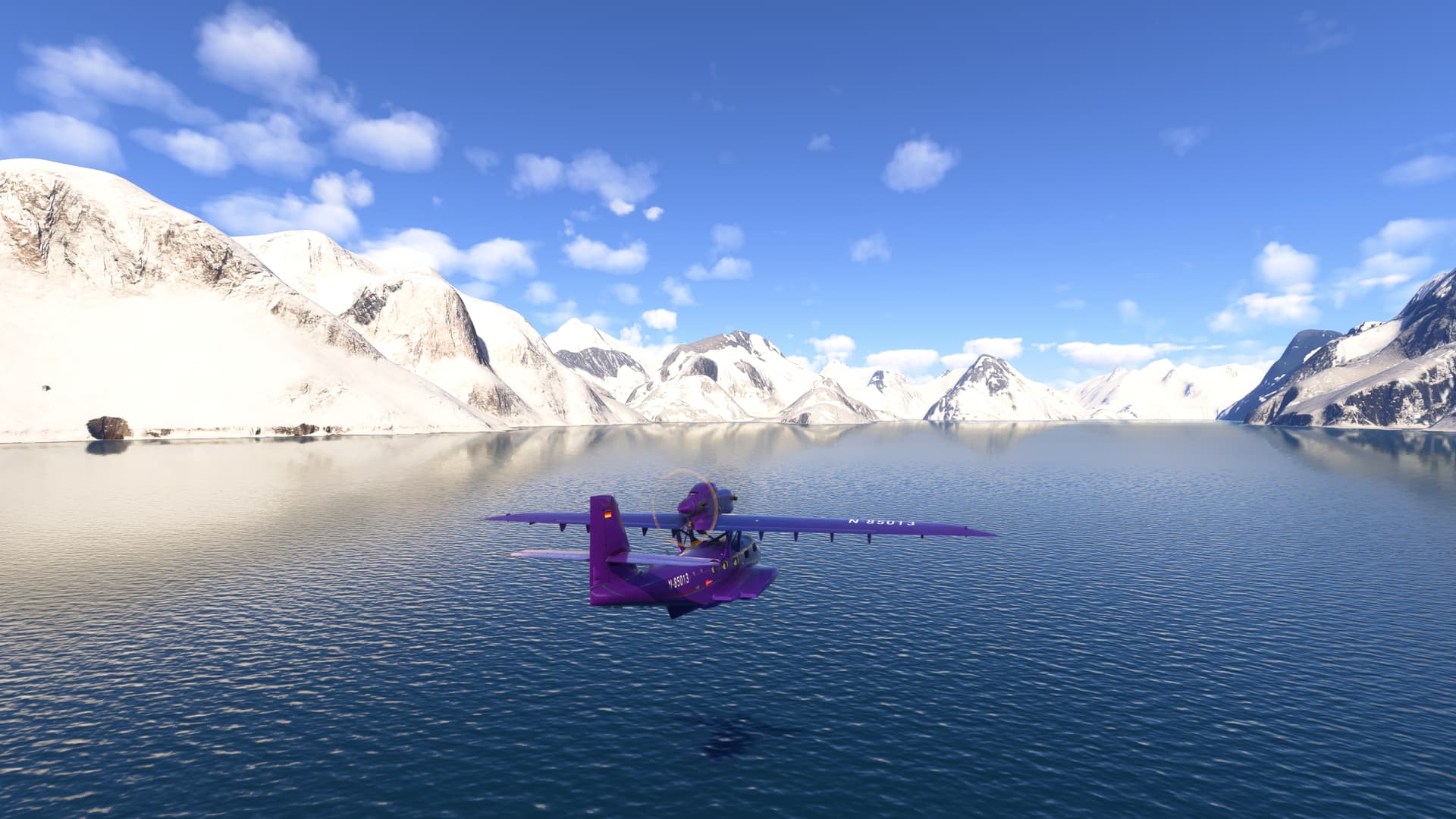
The final island, and our destination for this leg of our journey, is Zavodavski Island. The largest penguin colony on Earth with over a million breeding pairs is situated on Zavodovski.

The island is one of the most active volcanoes in the South Sandwich Islands. The discoverers had fun naming the various features of the Island: Its highest point is Mount Asphyxia, and Stench, Acrid, Reek, Pungent, Fume and Noxious Points encircle the island.

Mount Asphyxia. Note that I only have 4 gallons of useable fuel remaining!:

Most of the shore is lined with cliffs:

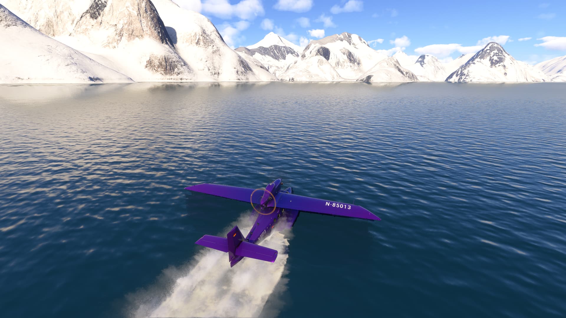
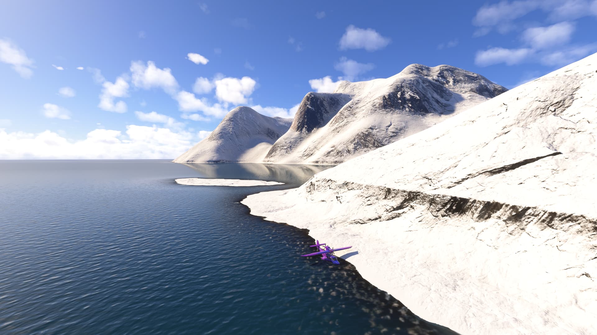
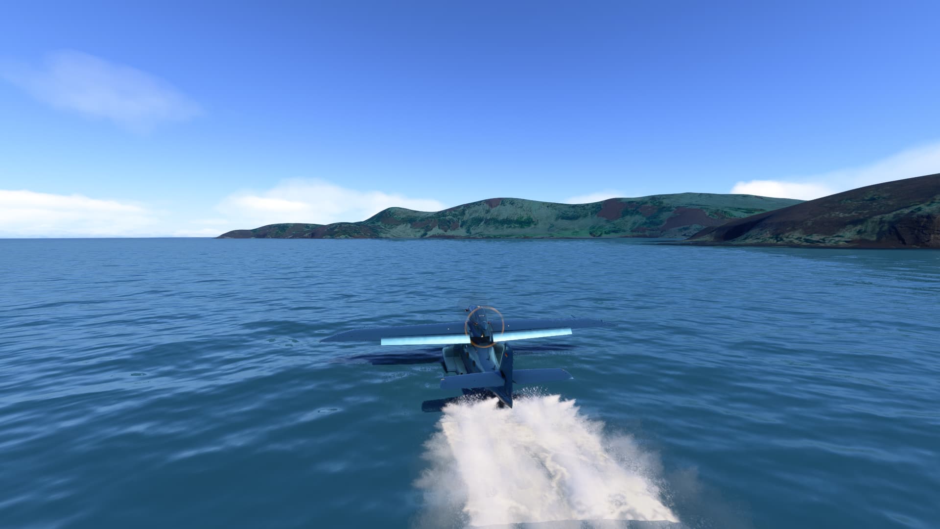
But there is a small area north of Point Pungent where one can land and beach the aircraft:

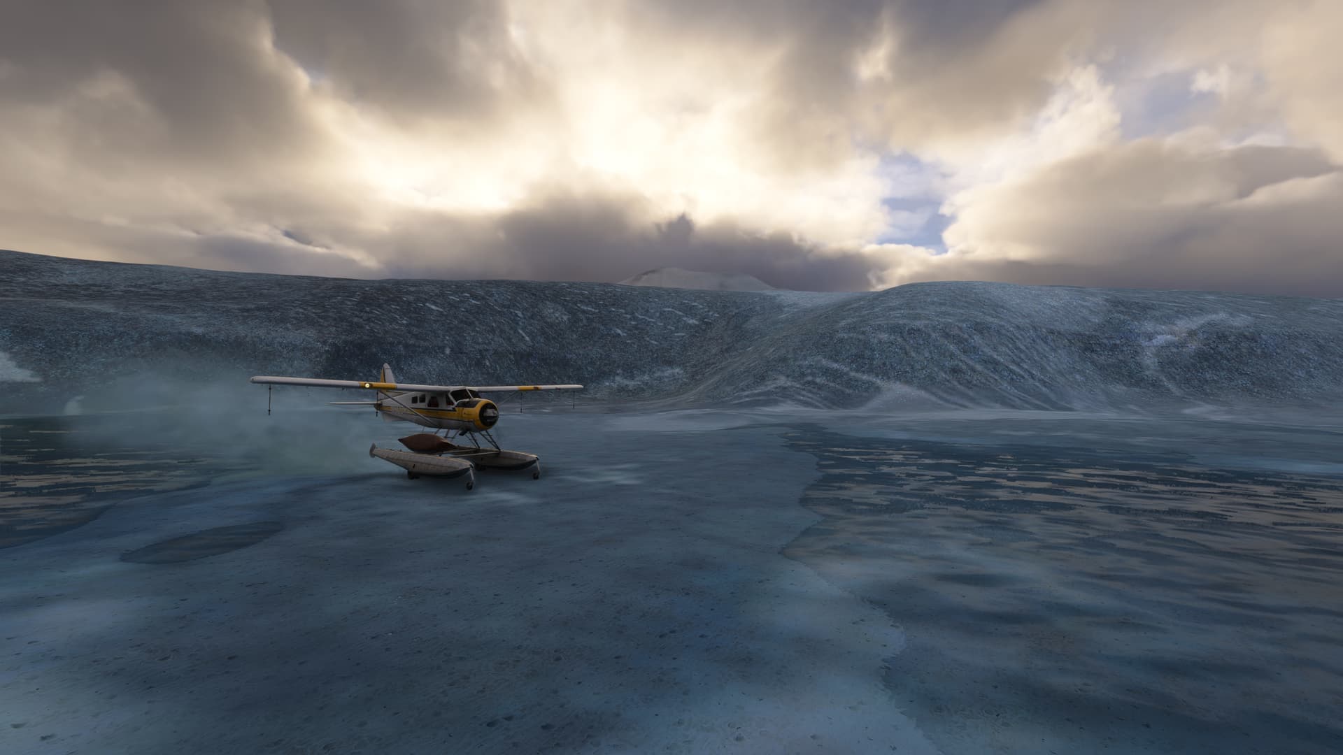
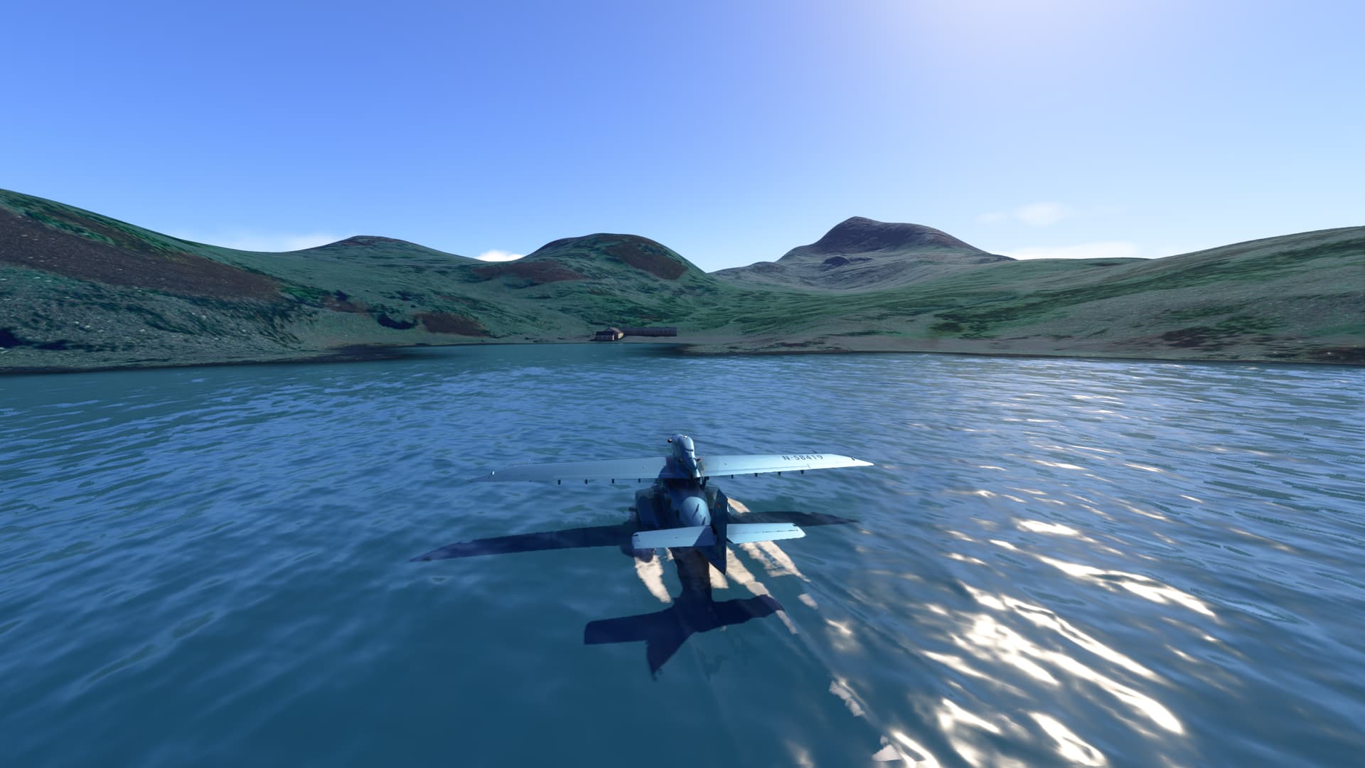
This trip can be completed in about 2 hours. On arrival, I had 3 gallons of usable fuel remaining in the rear tank.
This would be a good place to refuel for the next part of our journey to the island of South Georgia.

If you forgot to have extra fuel delivered to the island, I’m afraid you’ll be stranded until some can be delivered by boat. Luckily, you’ll not starve to death, what with all those penguins about! :grin:

2 Likes

Part 2 - South Sandwich Islands to South Georgia

The next leg of our journey takes us from Pungent Point to South Georgia. The distance is ~300 NM, and since there are no airstrips on either island, nor any suitable landing sites for wheeled aircraft that can make that long a journey, one’s best choice is an Amphibian.
Although the De Havilland DHC-2 has a 395 NM range, it’s cruise speed is only 109 KTAS. A bit too slow for my liking.

Other options with the default aircraft are:

Aircraft Range (NM) Cruise Speed (KTAS)
Grumman Goose 298 140
Grumman HU-16 2,300 145
Hughes H4 2,606 150
Dornier Seawings 900 165
Viking Air CL-415 415 180

Since I had not flown it much, I chose the Dornier Seawings. Here we are, admiring my shiny new flying machine:

Shortly after take-off, climbing to 12,000 ft:

Most of the flight was above the clouds and weather:

Kemp and Bayly Islands, visible through the clouds far below, are good reference point for starting our descent:

Fortunately, the (Live) weather improved during the flight. South Georgia dead ahead!:

Drygalski Fjord at the southernmost part of the island makes for a protected moorage:

Landing by Hash Island:

Safely moored on the shore of the Fjord, just east of the island:

Total flight time was a little under two hours.

In Part 3, we’ll explore the many glaciers of South Georgia, ending our flight at the biological research station of the British Antarctic Survey at Jordan Cove.

4 Likes

Part 3a - South Georgia Island (South)

After refueling the Dornier, we take off for our flight to Committee Bay:

Heading along Larsen Harbor fjord, we climb and skirt Mount Clara & Mount Norman, encircled by Glaciers. Mount Senderens (1,280m) is in the distance:

We follow the coast, then turn inland over Grade & Harmer Glacier. As we pass Viola peak, we turn right and head up Novosilski Glacier:

On the other side of the spine of the island are Hertz & Twitcher Glaciers. Iris Bay is in the distance:

Heading north again over Bertrab Glacier, we have a smogasbord of glaciers that we can visit: Weddell, Hindle, Spenceley, Ross, Webb, Nachitgal, Cook, Buxton, Heaney and Brogger:

I chose to head up Ross Glacier, which merges with Brogger by Vogel Peak (1,350m):

Back on the west side skirting Mount Brooker:

Then followed a meandering path over Nordenskjold, Tyrell, Hawker, Paget, Reusch, Helland, Henningsen, Christophersen and Kjerulf Glaciers (By now, you probably have guessed that I like flying over glaciers! :slightly_smiling_face:)

This is by Geikie Glacier, with Waller Peak overlooking Mercer Bay:

Esmark, Hawsbury and Briggs glaciers form an immense icefield:

That lead into Sea Leopard Fjord and Committee Bay, dotted with islands:

Committee Bay makes a good spot too take a break, so you can land in the protected waters of the bay, before heading to our final destination at Jordan Cove on Bird Island.

Part 3b - South Georgia Island (North)

Leaving Committee Bay, the northern half of the island has a wide variety of glaciers and peaks to choose to visit:

As one continues northward, the island starts to narrow:

Before breaking up into Bird, Trinity and Main islands:

And finally petering out on the Tiger and Ramp rocks:

where we do a “U” turn to return to Bird Island, flying back past Main Island along the way:

Bird Island in the distance:

The biological research station of the British Antarctic Survey is located on the shores of Freshwater Bay in Jordan Cove. Main Bay is to its right. Here we are landing in Jordan Cove, with Freshwater Bay to our right, nestled behind the promentory:

Taxiing into Freshwater Bay, with the research station visible on the shore:

There is a pier by the buildings, unfortunately not represented in MSFS, but you can lower the landing gear as one approaches the shore and taxi up the gentle incline to park by the buildings:

This brings us to the end of our journey through the South Georgia and South Sandwisch Islands. I hope that this topic has inspired you to take the trip for yourself!