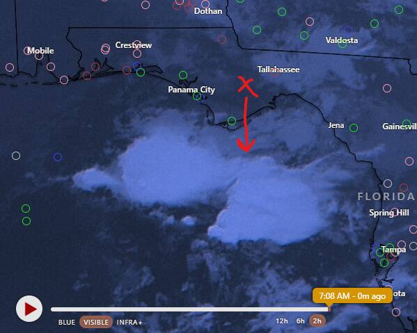
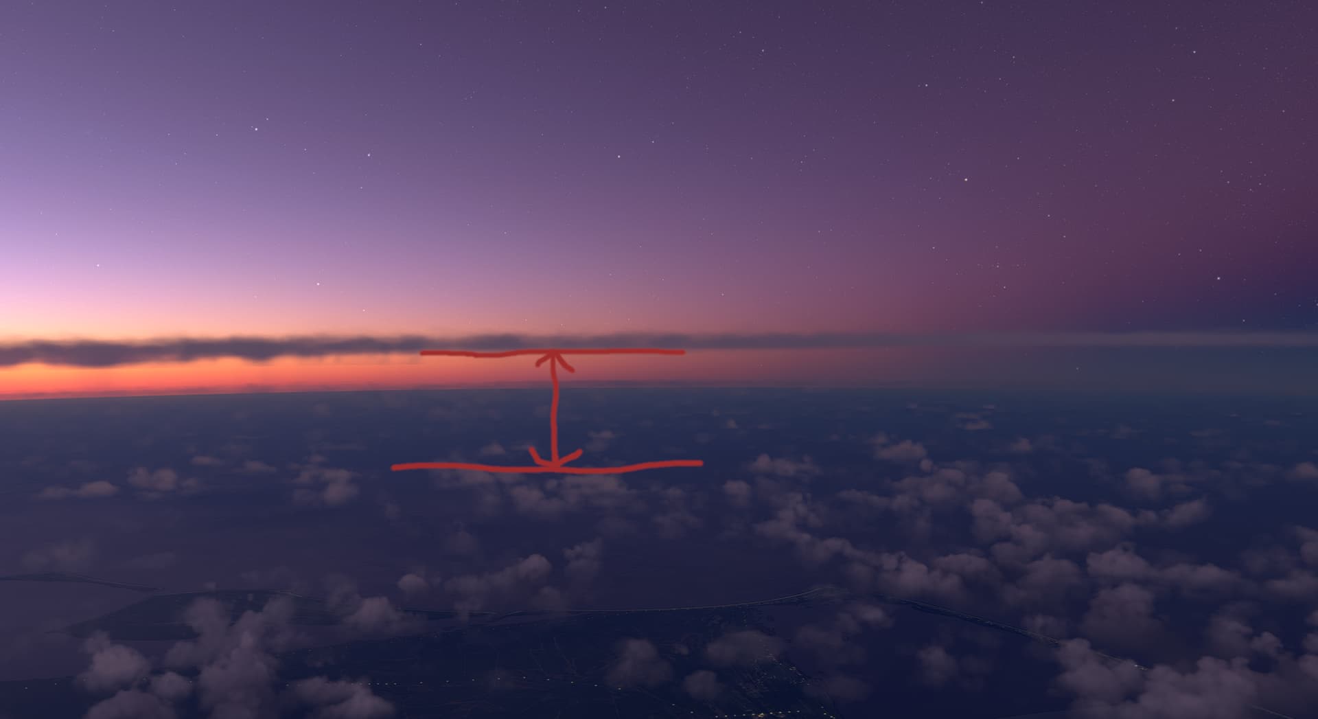
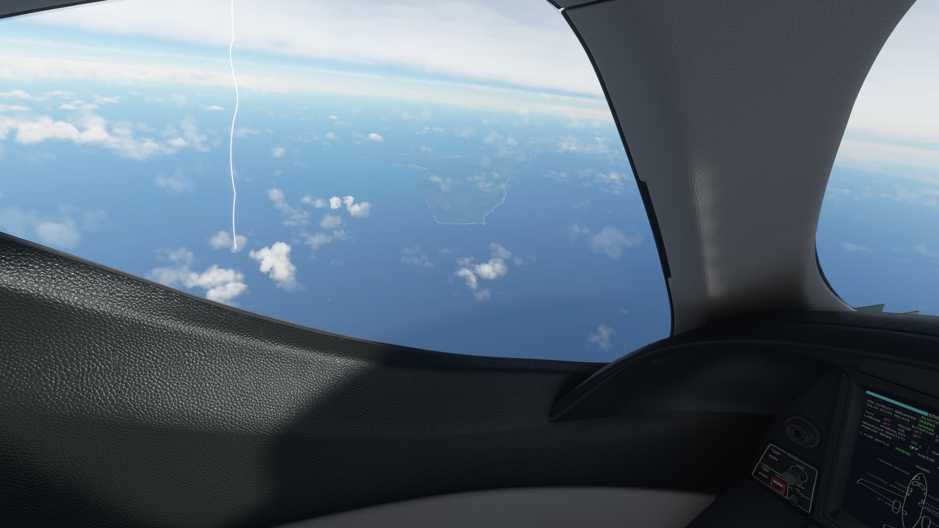
I wish to one day be able to experience Isolated/Stand Alone Thunderstorms with proper cumulonimbus and towering cumulus cloud heights and structure as well as having realistic up and down drafts if near enough or within the storm due to the swirling and gusting winds. As it is now (likely due to implementing METAR into the live weather) we fly into an area where there is a thunderstorm or rain cell and instead of seeing it from far away and then coming up to it - the clouds are fragmented and scattered around (also VERY transparent, like a light fog cloud that we can see through), then the storm kind of just “generates” around the aircraft once within a few miles of the storm/cell. This is not realistic and quite annoying plus there is not way for us to avoid these dangerous storms when they occur because the “storms” literally generate only once close enough to the cell, and quite frankly they do not resemble thunderstorms at all.
This is not how it used to be before the METAR implementation.
Since Asobo implemented the METAR into the real time weather we have lost the ability to see proper “one-off” isolated thunderstorm cloud structures from far away - except sometimes we still see some large system/front that the MSFS Live Meteoblue weather “agrees” with the METAR.
Also, can we bring the lighting back? Maybe even look at real time lighting data such as from this website? Real Time Lightning Map :: LightningMaps.org;