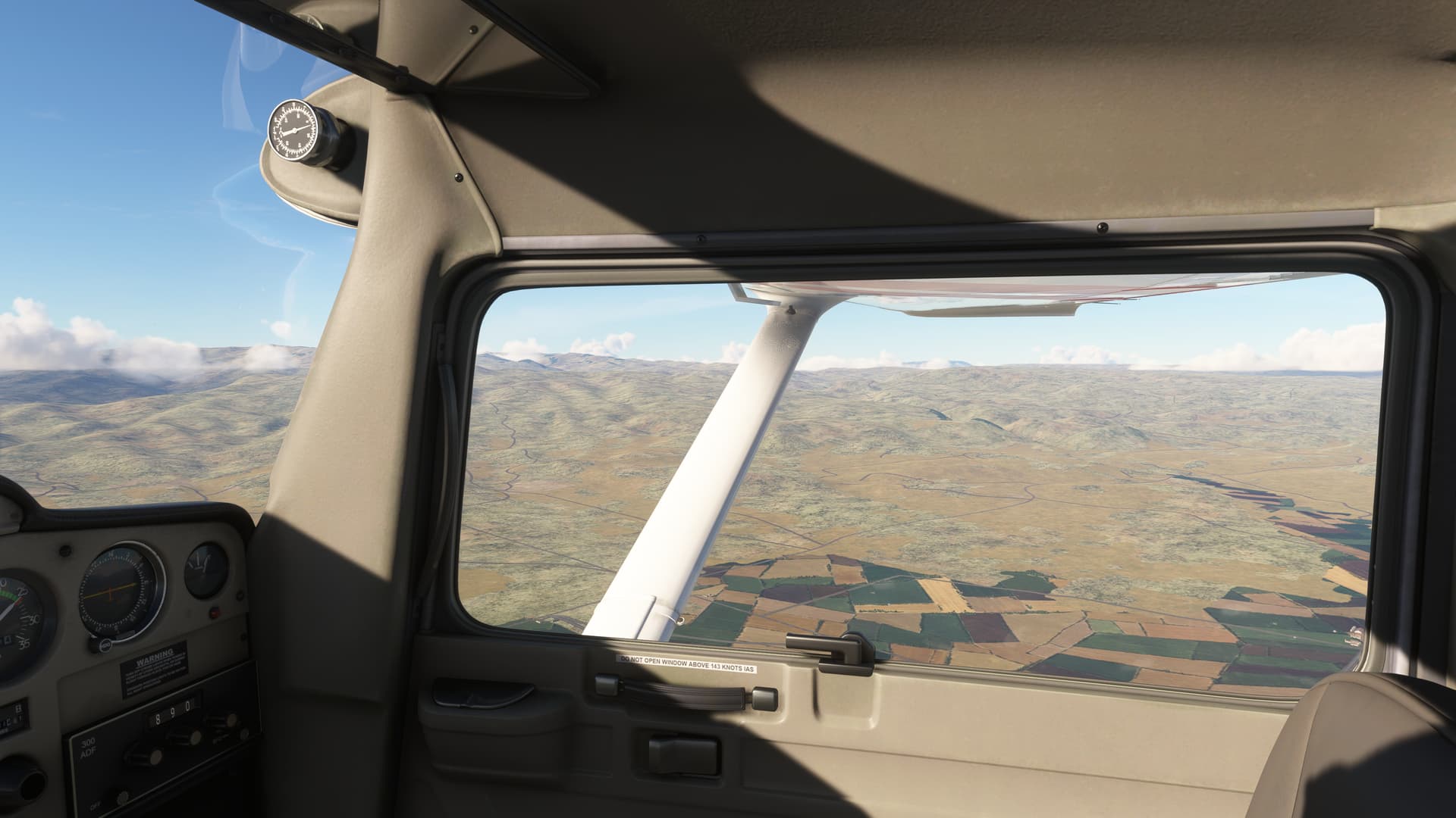
I’ve been flying around Boise Idaho lately enjoying the PG and general scenery and I got forced into offline mode due to local internet issues. I was astounded to see just how different the scenery became. The streaming data includes nearly everything you can think of. Check out some comparisons:
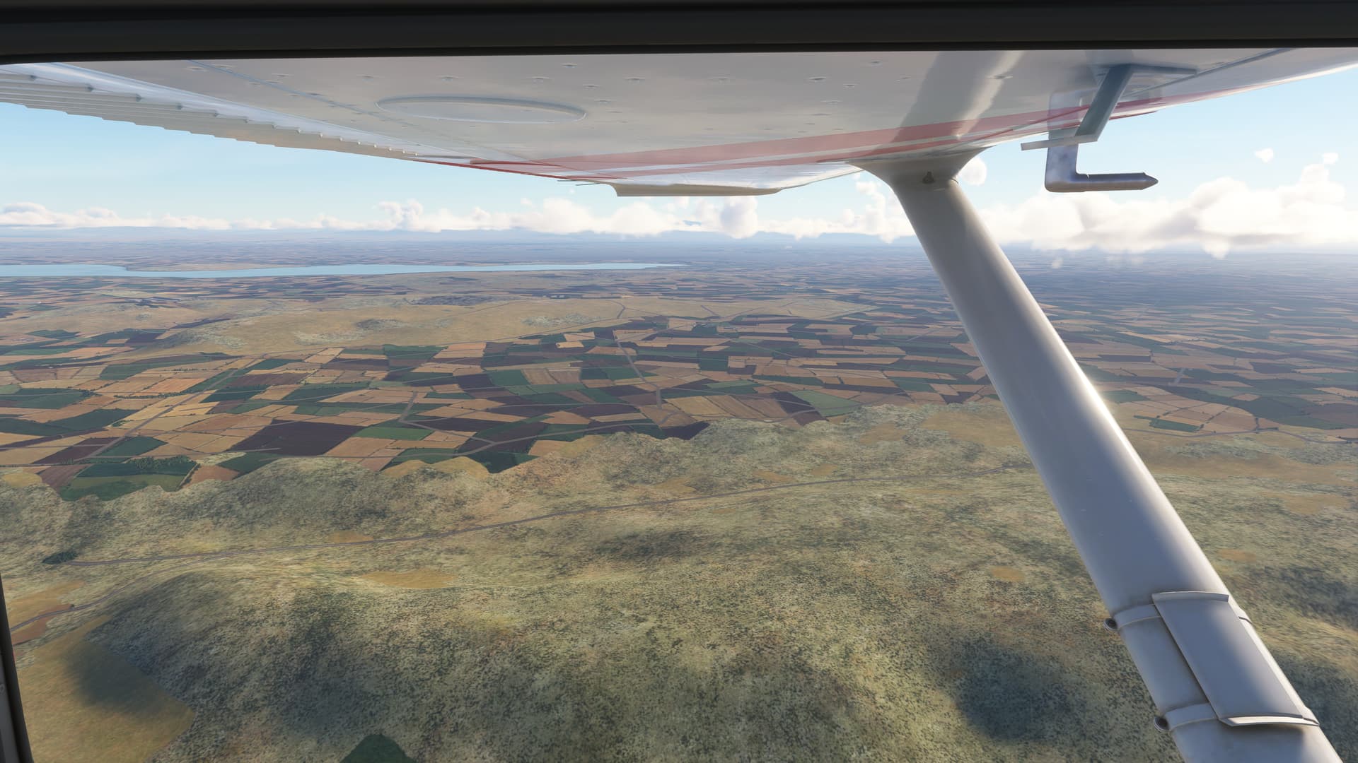
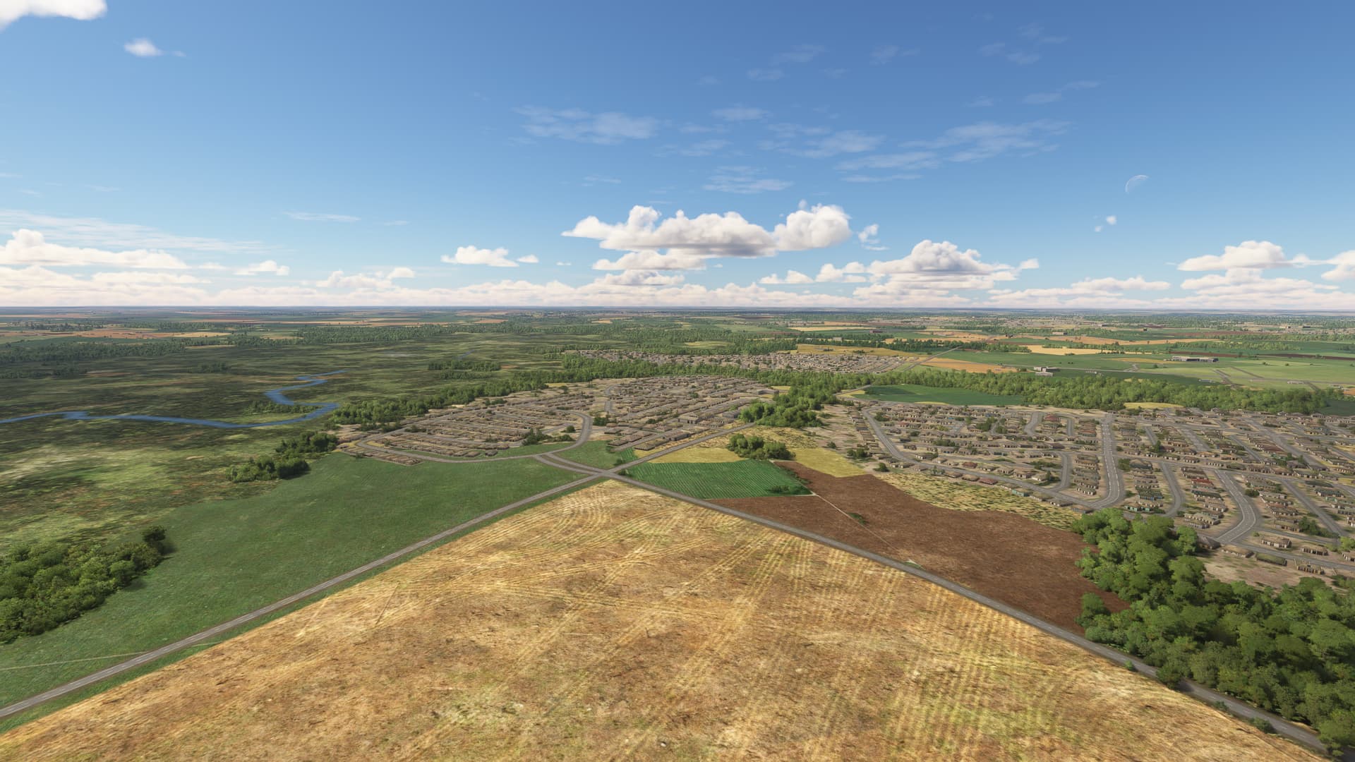
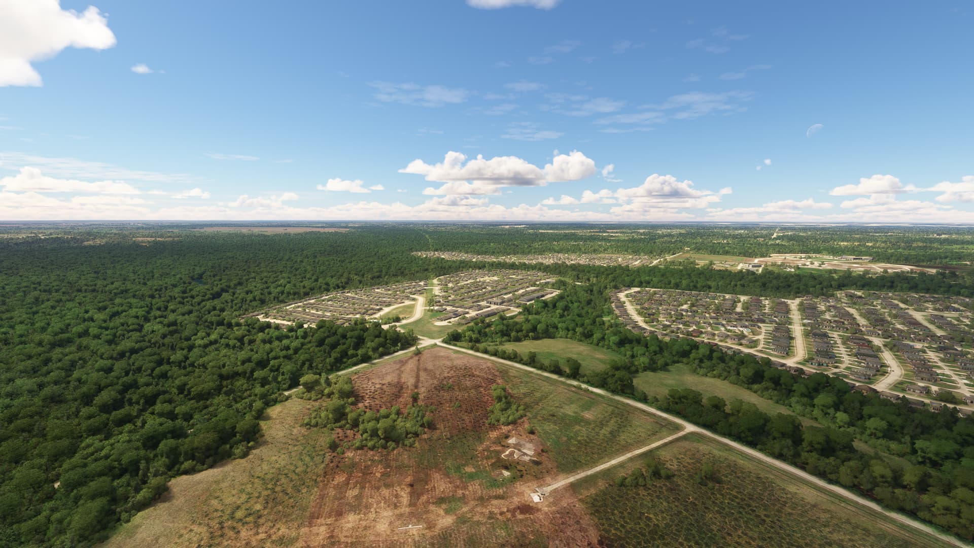
Here is near an airport called Sunrise Canyon both offline and online:
offline:
It looks to me like mesh details, some water vector details, most or maybe all tree and building data, and the ground scenery are all streamed. They could change any of it at any time I would think.
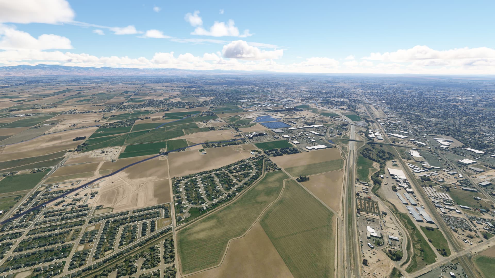
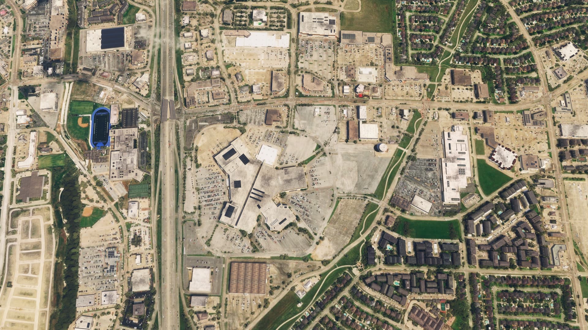
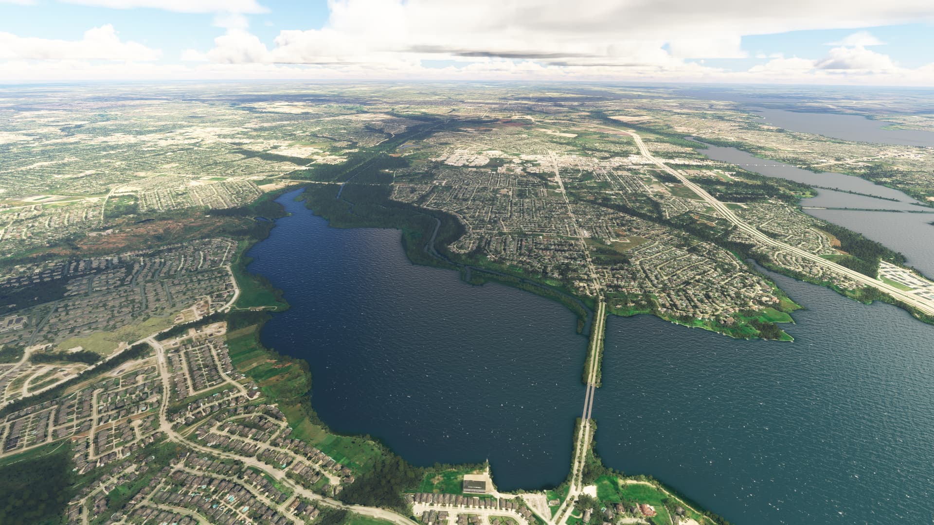
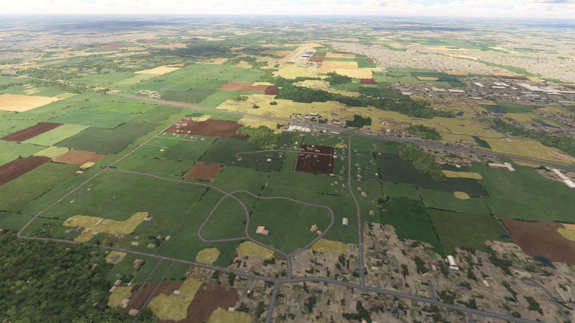
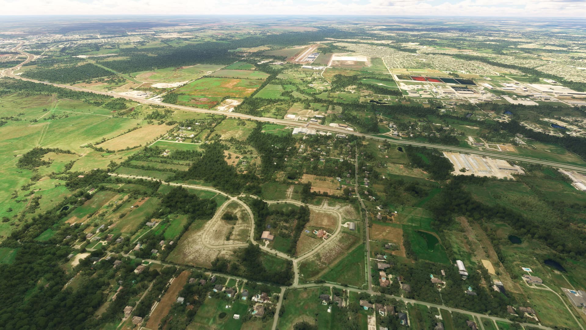
A question posed in another topic made me realize that Boise is a PG region and that things might be different in non PG regions so I went Mesquite Metro airport just east of Dallas Texas USA and did some comparisons. What I see mostly is that the basic road data and building footprints are the same(OSM?) and I think water masks are the same but underlying imagery, trees, and, oddly, the roofs of some of the larger buildings are different. Some of these shots were taken from slightly different locations but I got as close as I could.
Heres Town East Mall where you can see the roofs of some buildings are different in online vs offline mode:
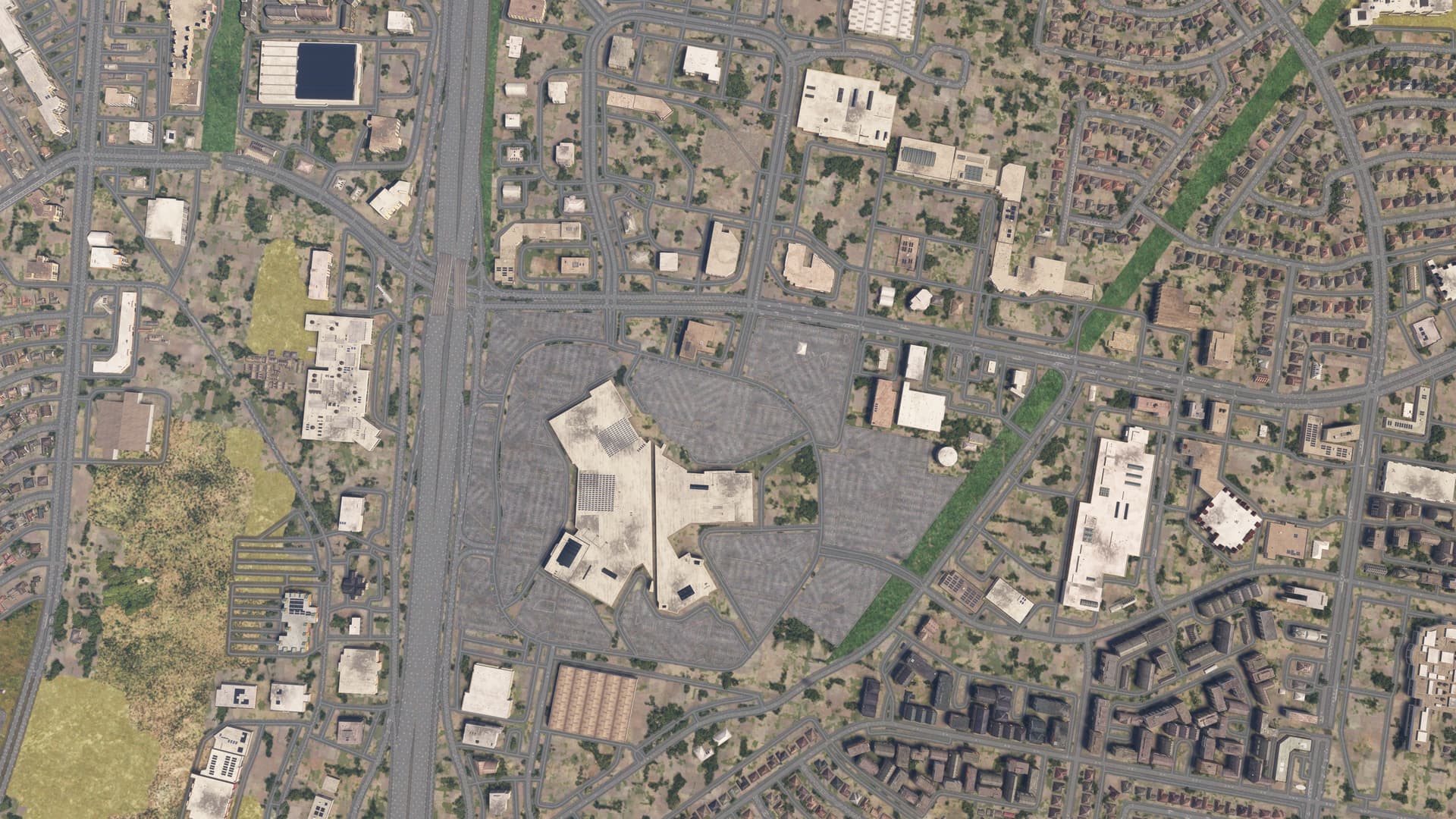
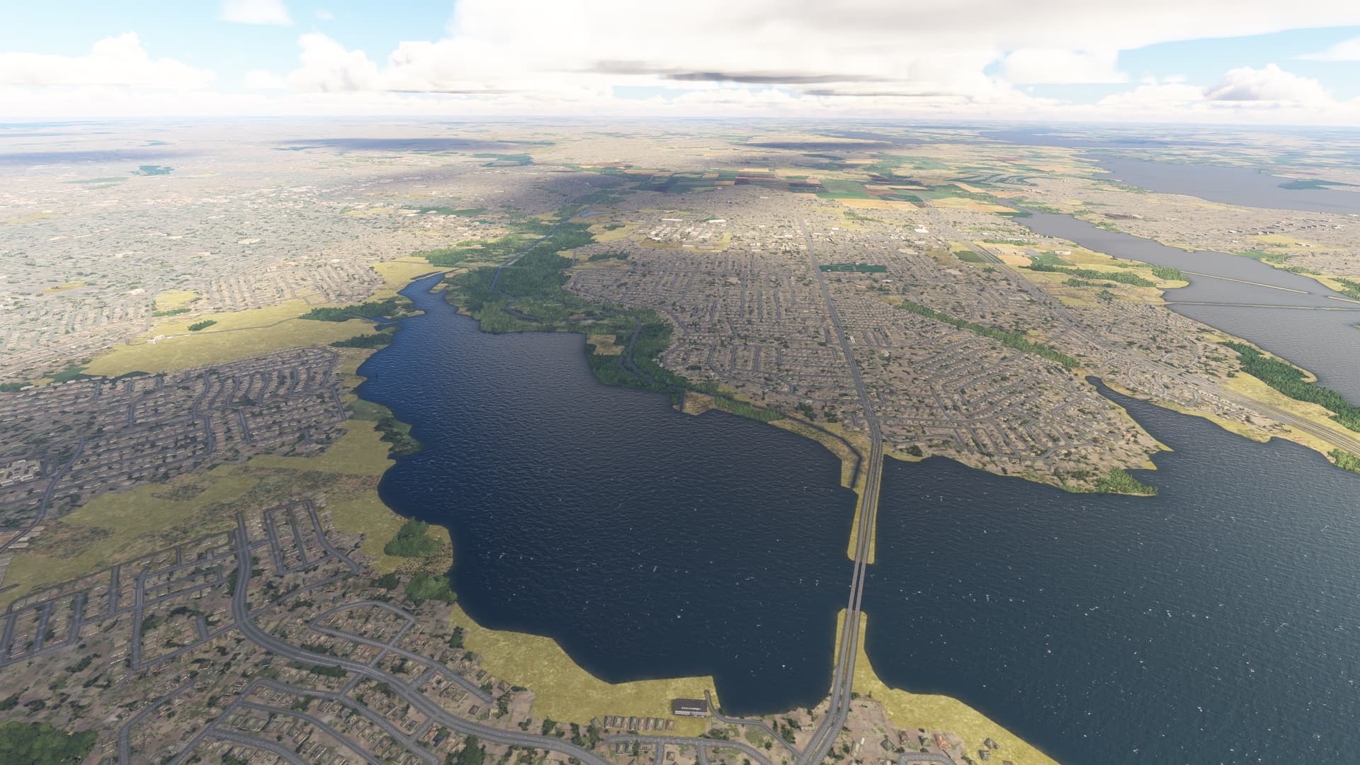
and here is a view from Mesquite Metro looking south that shows that the small residential buildings and the road network seem to be basically the same