Japan Tour on a Diamond DA62

Time for leg 11, which was a short hop from Kitakyushu (RJFR) to Fukuoka (RJFF). They’re pretty much opposite examples of airports in Japan.

Here’s the full gallery:

Taking off from Kitakyushu, Typhoon Chan-hom has just passed by, which means that the wind is rather strong and the sky is ominous.

As I fly inland over the city of Kitakyushu, we can see the quarries in the nearby hills.

Flying over the city, we see the oval tracks of the monorail company yard, the Kokura Racecourse for horse racing, and the Adventure Pool aquatic theme park.

Kitakyushu has several green areas including Matobaike Park and several golf course, of which one is shown here.

The mouth of the Onga river and Ashiya Airfield, a base of the Japan Air Self-Defense Force home to two training squadrons and a rescue squadron.

Having reached Fukuoka, I fly over Island City, an artificial island home of the Island Tower Sky Club and Teriha Sekisui House Arena.

Coming in to land Fukuoka’s skyline is visible in the distance, while I fly low over the large freight terminal station.

Final approach and landing at Fukuoka airport. It’s one of the world’s busiest single-runway airports. Since it’s right in the middle of a dense residential area, flights can’t operate between 10 pm and 7 am, which is the main reason why Kitakyushu airport was built to begin with.

Domestic and international terminals are on opposite sides of the runway and they don’t have any connection besides the road around the airport, so you better don’t go to the wrong one. The airport serves a wide variety of domestic and international destinations, the vast majority of which are in Asia.

It also serves as a military base hosting a support squadron and a helicopter airlift squadron.

1 Like

Back on it after a couple of days in which the real world claimed my attention for leg 12, from Fukuoka (RJFF) to Nagasaki (RJFU).

As usual, full gallery here:

Taking of from Fukuoka airport, nicely embedded into the city’s residential areas. And by “Nicely” I don’t mean for the residents.

Flying over Fukuoka’s downtown, with the Fukuoka Tower, the PayPay dome, and the Momochi Seaside Park.

Fukuoka is Japan’s sixth-largest city. This is where the Mongol Invasions in the thirtieth century impacted and shattered. Leave it to the Japanese to stop the unstoppable Mongol horde.

The city is really popular with tourists, especially from Vietnam and Korea. It has plenty of attractions from its modern museum to traditional temples.

The city of Karatsu and Takashima island. Karatsu is a popular destination in November for its Kunchi Festival and its colorful floats. It also has another of these beautiful castles.

The Ikitsuki Bridge, connecting Ikitsuki Island to Kyushu. It’s the longest continuous truss bridge in the world. Ikitsuki is famous for its beautiful cliffs and its massive Ikitsuki Daigyoran Kannon Statue. 18 meters tall, it’s the largest bronze statue in Japan.

The city of Kurume, where the Chikuko and Homan rivers meet.

The Chikugo River Lift Bridge, with a 24 meters-long span that could lift to let ships pass. Nowadays it’s actually inoperative and open only to pedestrian after it went out of service in 1987.

The small Saga airport. Opened in 1998, it actually gets a few international flights from Taiwan, Korea, and China. It’s even used by ANA Cargo to and from Tokyo.

The gorgeous mount Tara, just before I reach Nagasaki airport.

Final approach and landing at Nagasaki Airport. I believe it’s one of those made by Gaya, so it’s really, really well made and detailed.

It’s actually a lot closer to the city of Omura than to Nagasaki, home of the Dash-8-using regional airline Oriental Air Bridge.

Funnily, there is also an “Omura Airport” just on the other side of the bridge on the mainland, used by both the military and general aviation. The two runways are so close that they may also look like a single airport, but they’re not connected.

Opened in 1975, it’s Japan’s oldest full-scale airport built on water. The difference with the many airport built on artificial islands is that the island actually isn’t artificial at all. It existed before the airport, even if it had to be flattened and expanded.

It hosts domestic flights to several destinations and international ones to China and Hong Kong.

Recently, a large solar farm was built by the runway, named “SOL de Omura Minojima Solar Power Plant.” It’s one of the biggest solar installations in Japan and can provide energy to 7,500 households.


2 Likes

Finally time to resume my tour with leg 13, from Nagasaki (RJFU) to the small island of Suwanosejima (RJX8).

Here’s the full gallery:

Taking off from Nagasaki behind ANA Wings flight 372 headed to Chubu Centrair airport. I really wish we had good realistic AI.

Notice the massive SOL de Omura Minojima Solar Power Plant by the runway.

Flying over a large construction area as I enter Nagasaki’s metropolitan area. Nowadays, a residential district named Hokuyodai has been built there.

Flying over Nagasaki’s Peace Park and the Atomic Bomb Museum with the Baseball Stadium, Rugby & Soccer Stadium, and Swimming center on the other side of the tracks.

The port of Nagasaki, with its Seaside Park and the Toshiba Mitsubishi Electric Industrial Systems plant.

Nowadays the city is a relevant industrial, fishing, and shipbuilding center following its slow reconstruction after World War II.

At the exit of the port, there are three islands, Kojima, Iojima, and Okino. This is a popular resort area with hot springs, temples, the popular Iojima Beach, and a nature park.

Takashima Island is also part of the municipality of Nagasaki. Its economy used to be based on coal mines that have been closed. It’s being reconverted into a tourist destination.

The famous Hashima island, also called Gunkanjima (Battleship Island) due to its shape. It’s a well-known tourist destination and UNESCO World Heritage Site due to its abandoned industrial center based on undersea coal mines and the massive sea wall.

Its abandoned housing complex provides a rare look at how the Japanese lived in the Taisho and Showa periods.

Flying over the Koshikijima Islands known for their scenic coastal inlets and the Koshikishima national park.

Kuroshima, the westernmost of the Oosumi islands. It’s said to be the place where the Heike clan took refuge after losing in the Genpei War in the 12th century.

Approach and landing at Suwanosejima. This volcanic island has its own airport despite being inhabited by less than 50 people. It’s part of the Tokara archipelago.

It’s dominated by mount Otake, an active stratovolcano. The island has been abandoned between the 15th and the 19th century due to a large eruption.

2 Likes

Time for the 14th leg of the trip, and for some pure island hopping from Suwanosejima (RJX8) to Kerama (ROKR).

As usual, here’s the full gallery for your perusal.

Taking off from the really small Suwanosejima “airport.” There’s always something special about doing it off a cliff.

Flying over Akusekijima, a volcanic island with no activity in recorded times (but plenty before that). A whopping 59 people live here, with no airport and the only way out via boat.

The islands of Amami Oshima, alongside the smaller Kakeromajima, Yoroshima, and Ukejima, forming the Amami archipelago.

Amami Oshima is fairly densely populated with 73,000 people living on the island. It has a rich fauna and flora and it’s home of a national park. The famous samurai Saigo Takamori was exhiled here in 1859.

Tokunoshima and its airport. The island is home to 27,000 people and it’s a popular tourist destination thanks to its stunning beaches, beautiful mountains (full of Habu snakes, which is a problem for hikers), and natural landmarks.

The airport has regular flights to Kagoshima in Kyushu,Amami Oshima, and Okinoerabujima.

Speaking of Okinoerabujima, here it is, with its Okinoerabu airport. It’s a densely-cultivated fertile island and a major tourist destination. From the airport, you can hop to Naha in Okinawa.

Yoronjima island, with its own little Yoron airport is the last one before we reach Okinawa. Home of about 6,000 people and a beautiful coral reef. Its white beaches are famous across all of Japan. Its small airport holds flights to Naha, Kagoshima, and Amami Oshima.

Okinawa in the distance. It’s the main island of the Ryukyu archipelago and one of the most popular tourists destinations in Japan. For now, we’re skipping its main airport in Naha (because its renditions in the simulator frankly sucks) and flying on. We’ll be back soon.

On the approach to Kerama, just a short distance west of Okinawa, we fly over Zamami and Amuro islands and the small village of Zamami.

Next is Gerumajima island, connected via bridge to Fukaji Island, where Kerama airport is located. In the small town of Geruma, the high school (which is the biggest building) is clearly visible.

Landing at Kerama airport. It’s really nothing much and doesn’t have any scheduled flights (even if it used to), but hey, it has a porta-potty and that’s all I need before the next flight.

2 Likes

Three more legs from 15 to 17. Since it’s island-hopping with a lot of sea, I’d say one post is enough to do them all.

Leg 15 is from Kerama (ROKR) to Shimojishima (RORS) leg 16 is from Shimojishima (RORS) to Naha (ROAH), and leg 17 is from Naha (ROAH) to Amami (RJKA), for a nice tour around Okinawa and Japan’s southern islands.

Here are the galleries.


Taking off from Kerama.

After a lot of flying over the sea with basically nothing but water in sight, here’s Shimojishima. The airport’s approach to runway 17 is over a beautiful coral reef, but unfortunately the water masking in the sim doesn’t show much of it.

The airport’s new terminal, with a lot of wooden decorations and even two large pools has been opened in 2019 with the theme “Your resort time starts at the airport.”

Shimojishima is indeed a beautiful resort island which is very popular among Japanese tourists.

Taking off again from Shimojishima and flying over the nearby Miyakojima at dawn. Today it’s a bit stormy, with plenty of lightning.

Besides being another famous resort island, Miyakojima has a history of contacts with German ships, and has several pieces of evidence of said contacts including a monument and a German cultural association.

More lightning en route, which was good since there isn’t much else besides sea and clouds.

Approach and landing at Naha, the capital city of Okinawa prefecture and the most important city of the island of Okinawa.

Unfortunately, the airport is a bit in disrepair in the sim, with the recently-opened second runway on reclaimed land not complete and the landing aids all out of whack. Being one of the busiest airports in Japan, there was plenty of AI live traffic, and I really hope that someone creates it in greater detail.

Naha is very unique among Japan’s large cities, as it sports a very different culture. It’s basically one of the few in which being late is actually common (many Japanese have the expression “Okinawa Time” which means that Okinawans are always late). Of course, it’s a major vacation destination, offering access to the white cities and beauty of Okinawa and its nearby islands.

The airport is also home of Naha Air Base (in fact ATC calls it erroneously Naha AFB), home of two F-15 squadrons and more.

Taking off from Naha, with lots of traffic on the runway. I’d be overjoyed if Asobo fixed live traffic to be always this lively.

The U.S. Marine base of Camp Kinser.

Marine Corps Air Station Futenma in the city of Ginowan, home of the 1st Marine Aircraft Wing.

Kadena Air Base home to the USAF’s 18th Wing.

Beautiful sunset and moonrise over the sea.

Night approach and landing at Amami airport on the Amami Oshima island. It hosts several scheduled flights to Tokyo, Fukuoka, and other destinations in the Japanese archipelago.

2 Likes

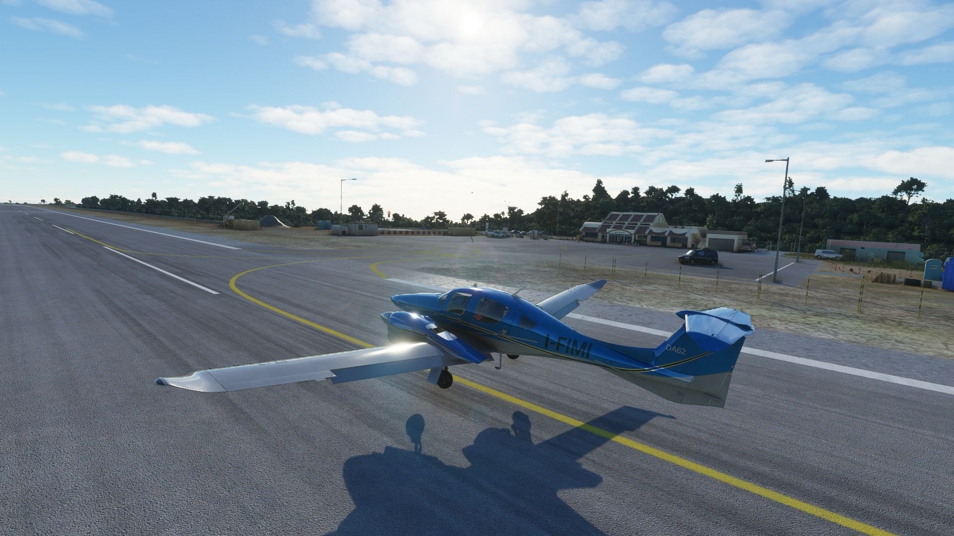
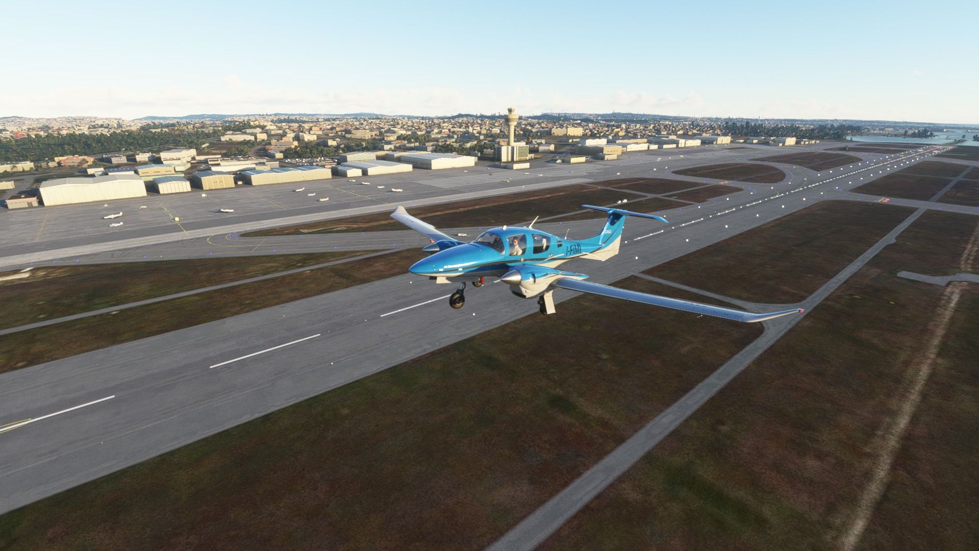
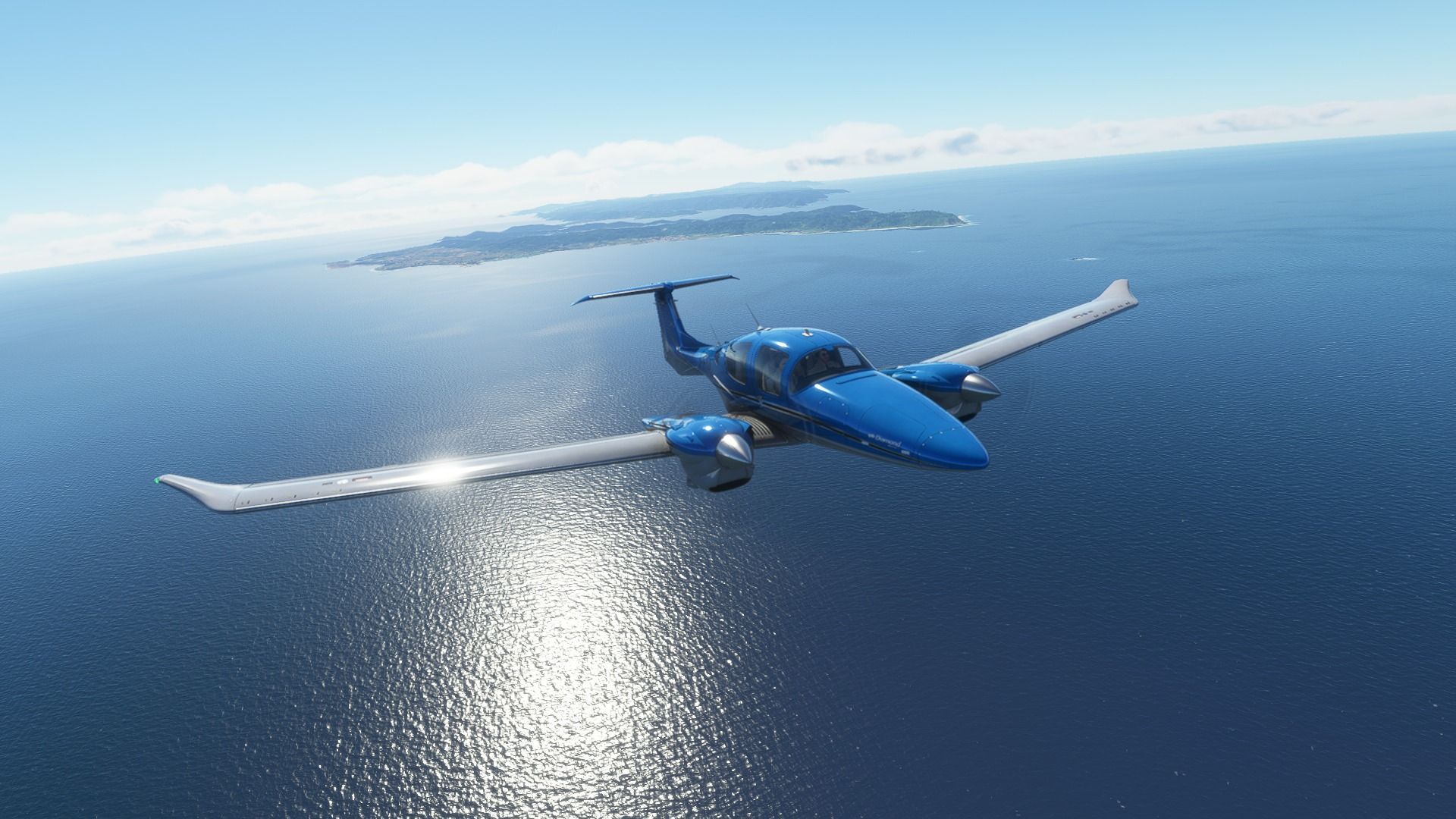
Two more legs, 18 and 19. Leg 18 was from Amami (RJKA) to Kagoshima (RJKF) in Kyushu. Leg 19 was from Kagoshima back to the mainland of Honshu, Iwami (RJOW) airport. No more island hopping.

Here are the full galleries:


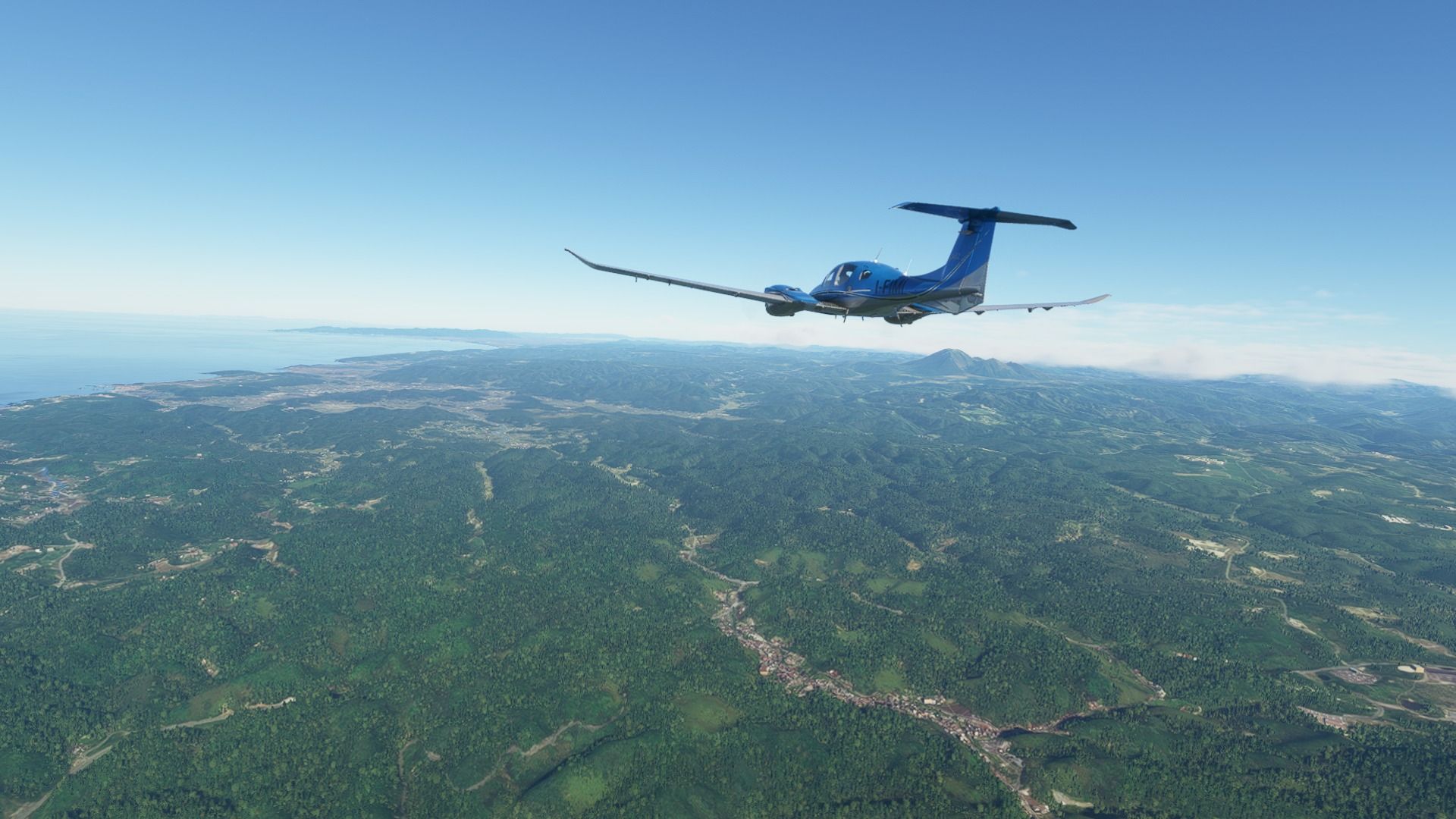
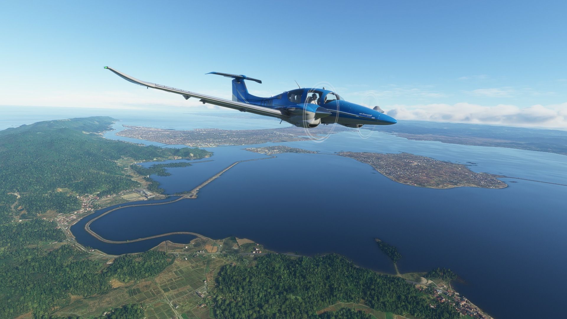
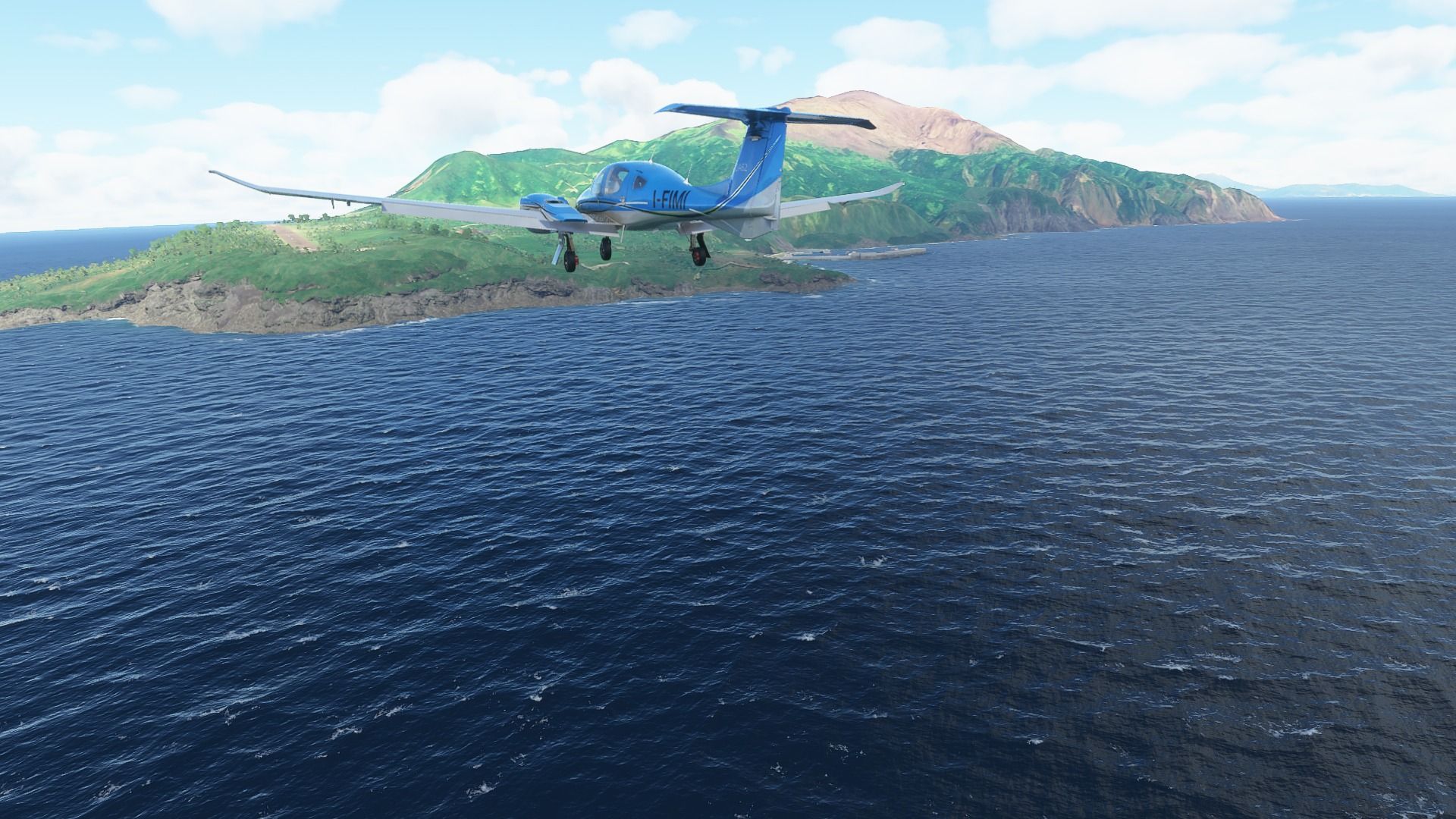
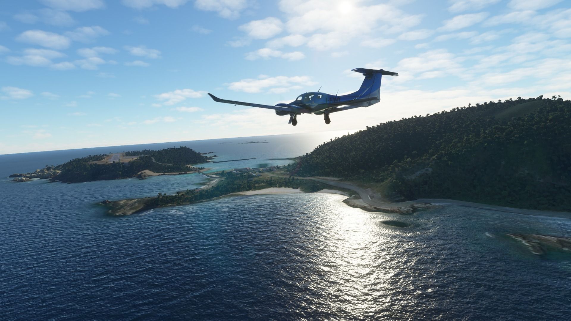
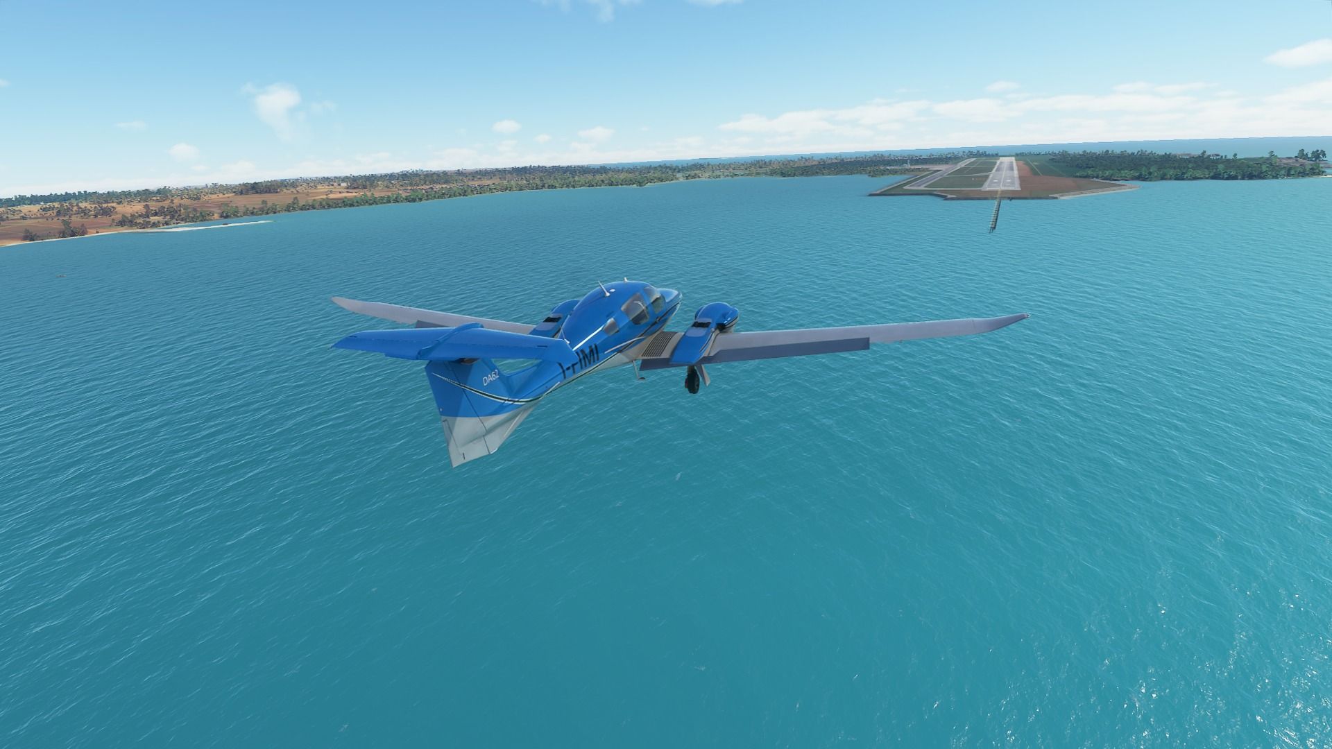
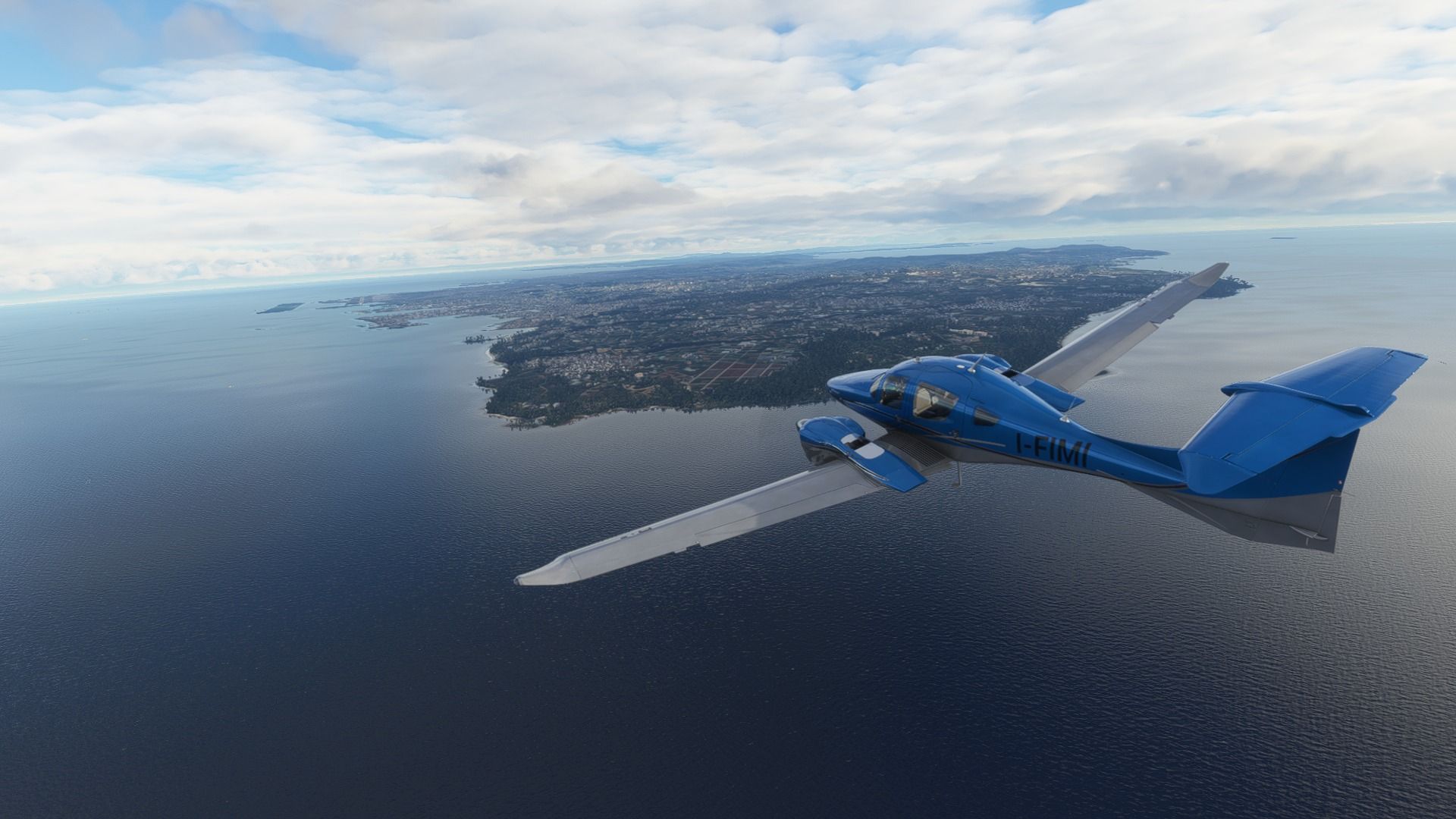
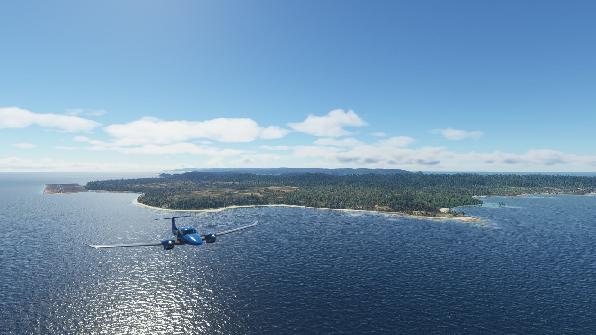
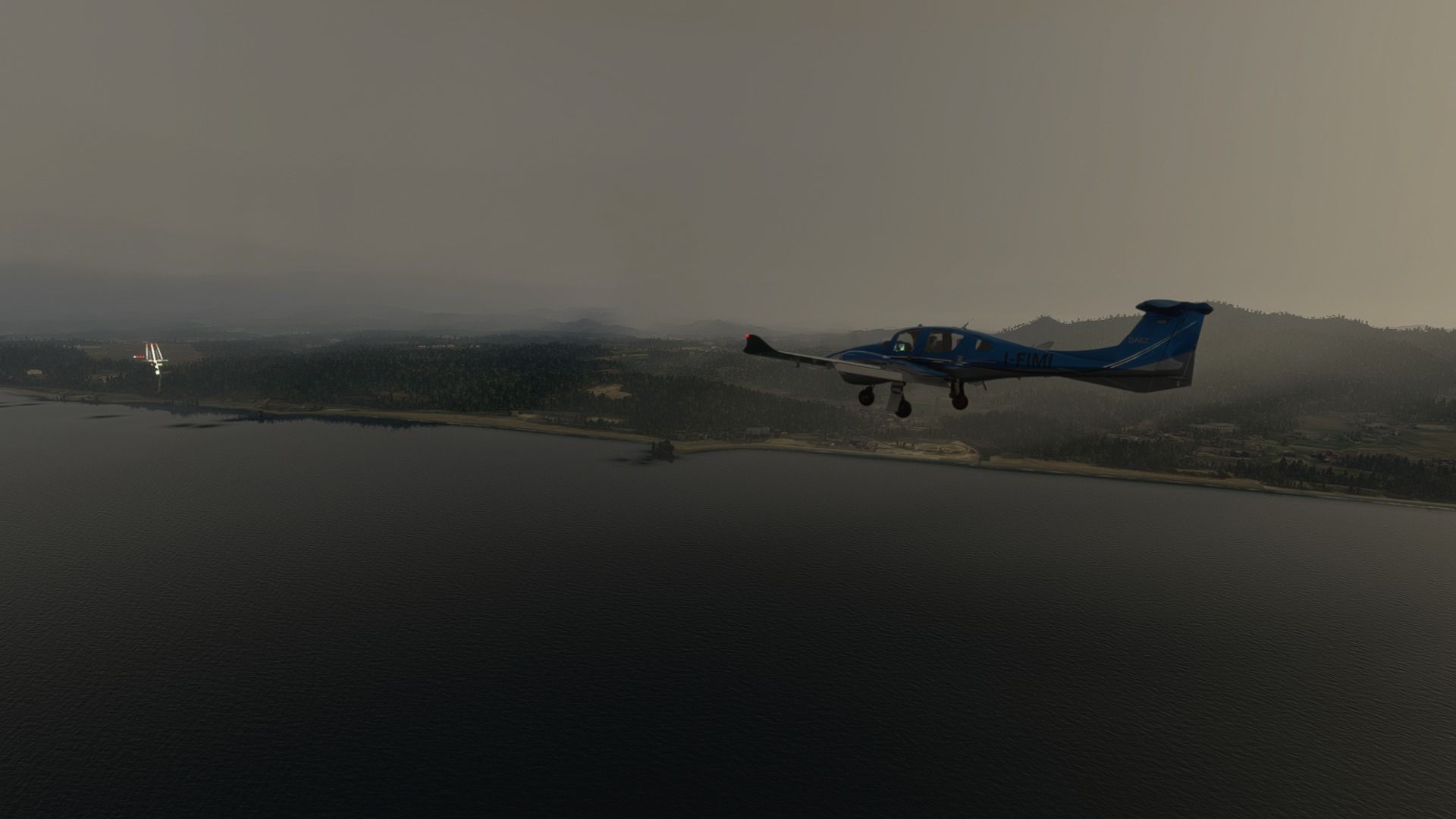
Departing from Amami, with the Ayamaru Misaki Kanko Park in the background.

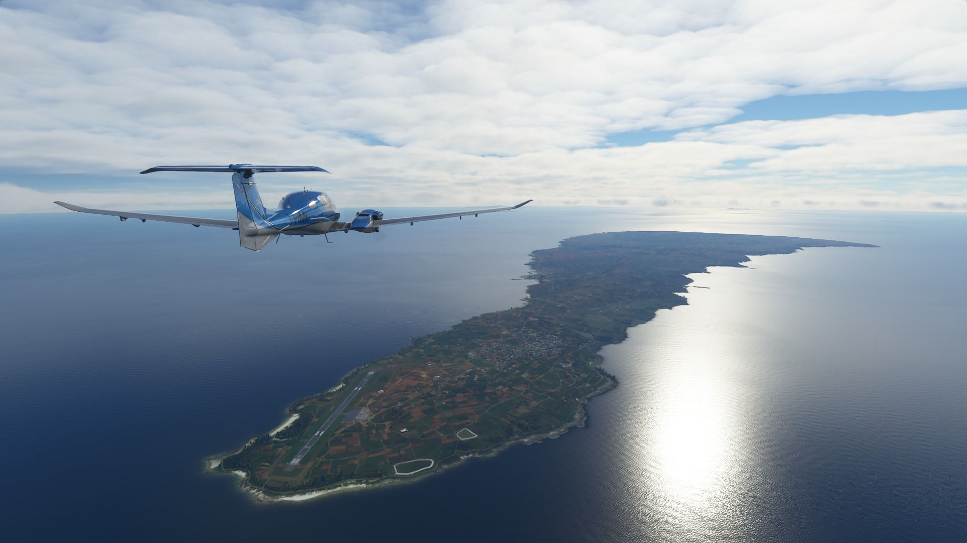
The large island of Yakushima, home to over 13,000 people, beautiful nature sitting on its granite bedrock, and for once, no volcanoes. Its dense forests inspired Hayao Miyazaki for the creation of Princess Mononoke and Hideo Kojima for Metal Gear Solid 3.

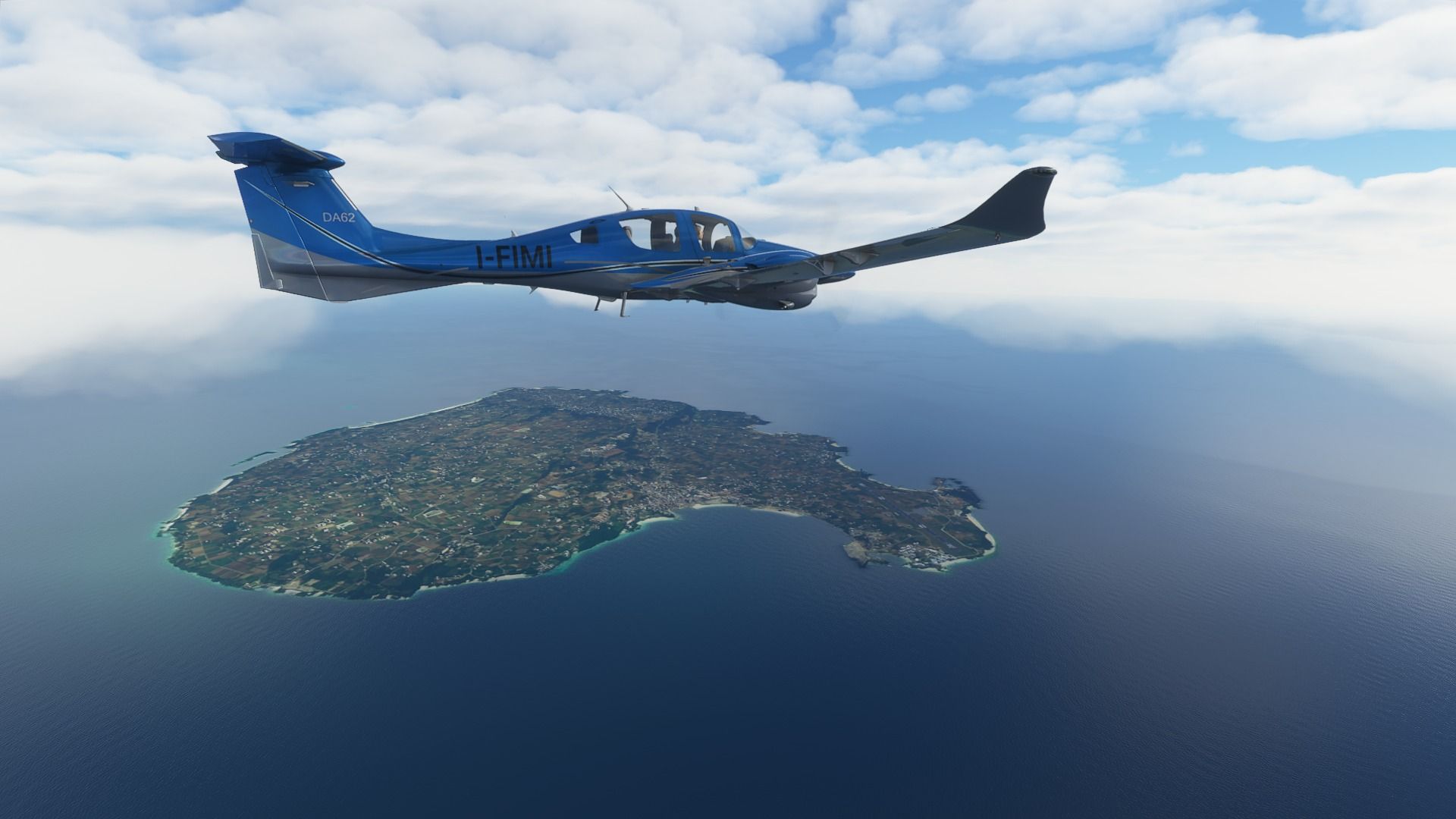
Nearby is the island of Kuchinoerabu. This one does have an active volcano and a much smaller population of about 150 (it’s much more desirable to live on granite than on boiling lava, who would have thought?)

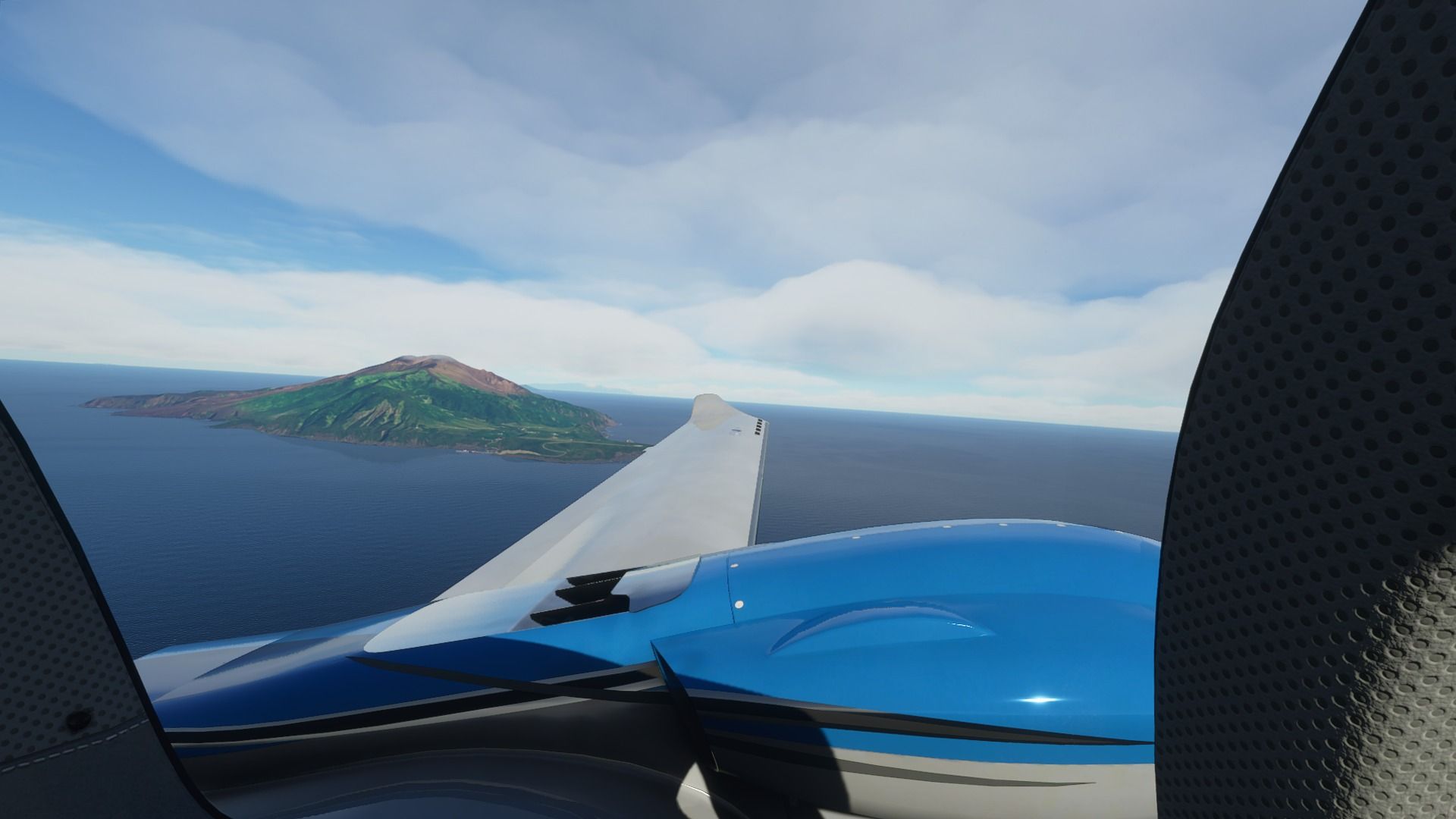
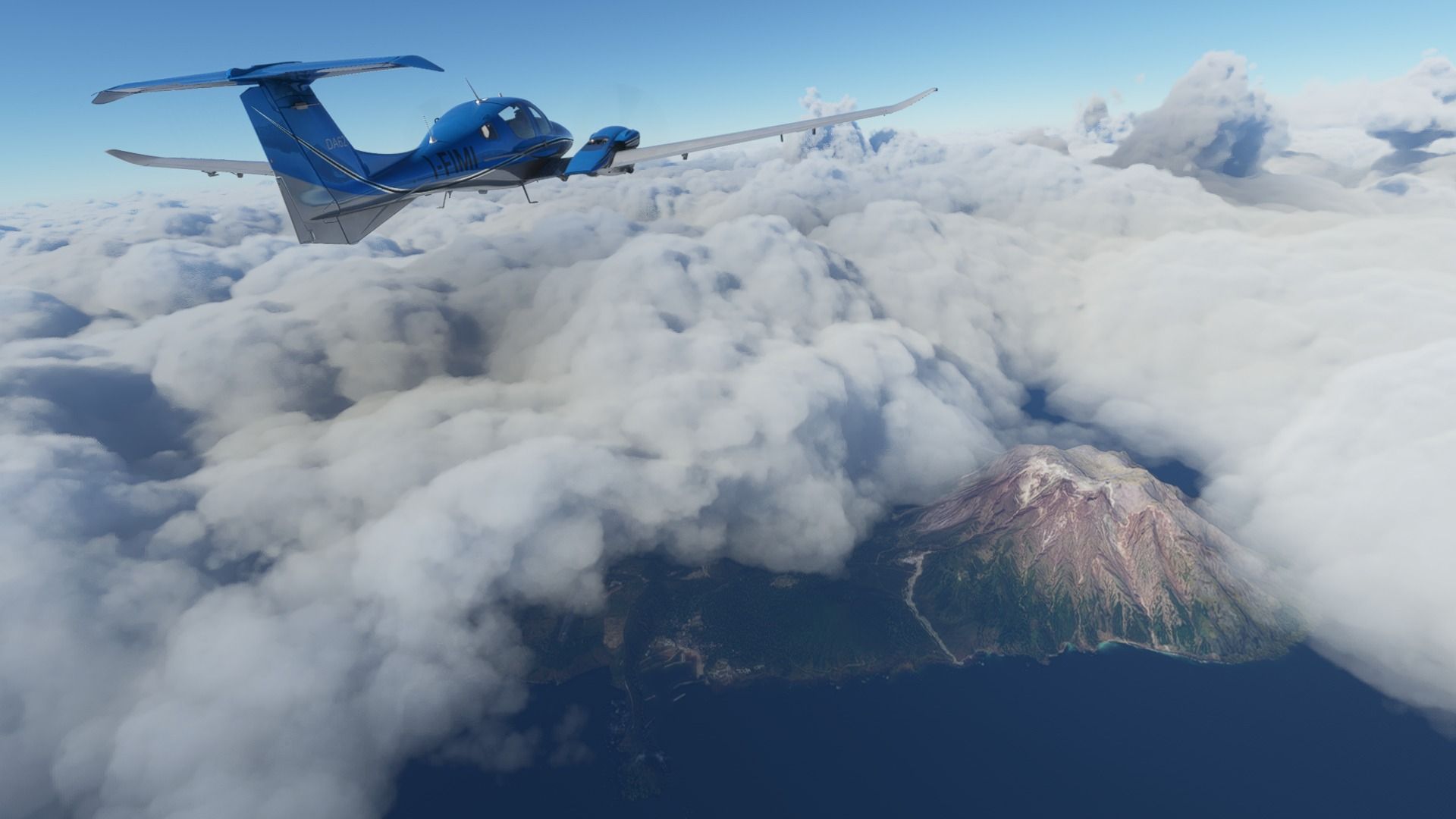
Partly hidden by the clouds is Iojima and its massive volcano, the Kikai Caldera, source of the second-largest eruption of recorded history over 6,000 years ago. Despite frequent minor eruptions, about 150 people live here and even have their own airport.

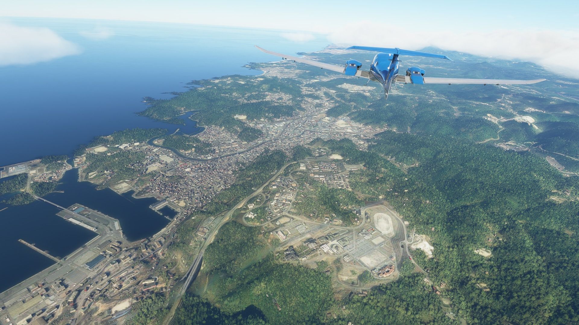
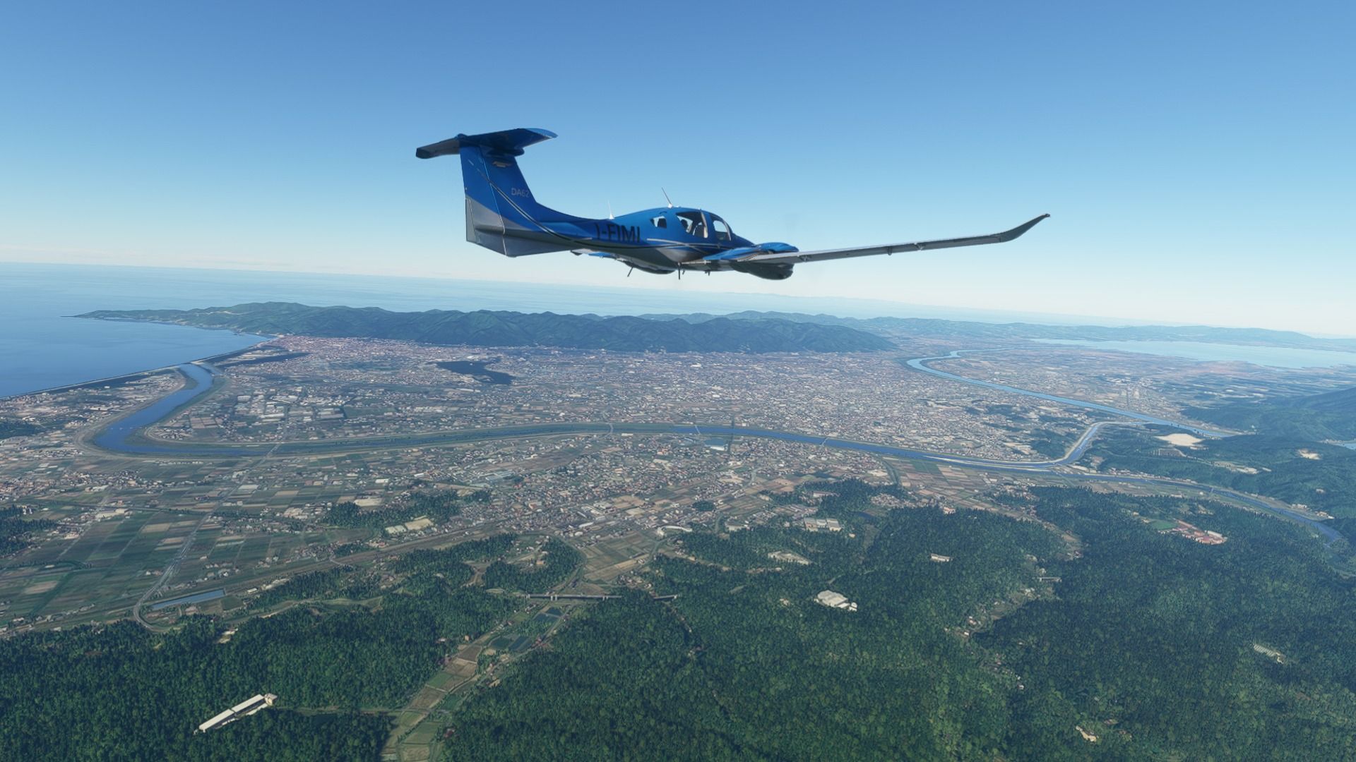
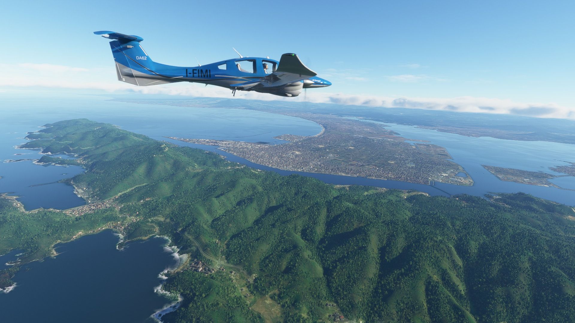
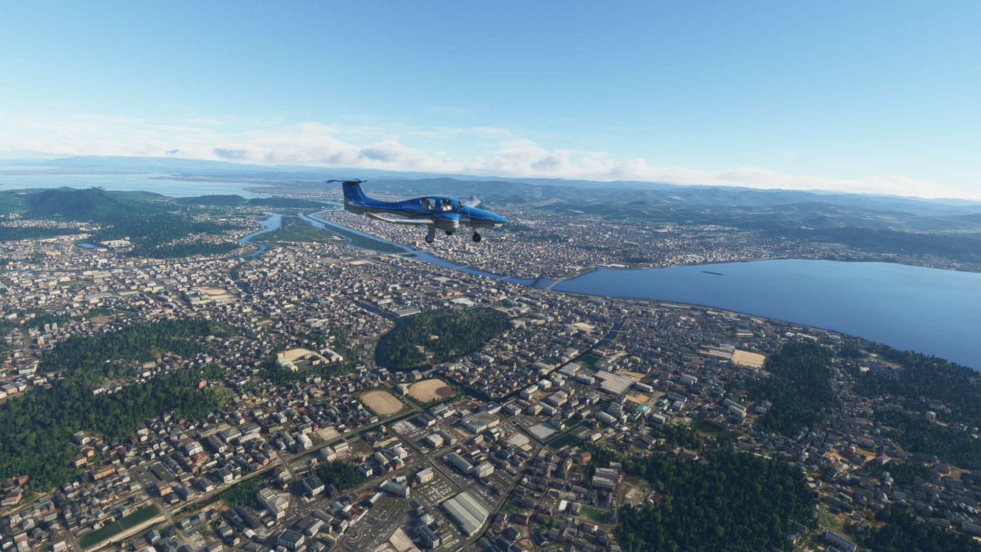
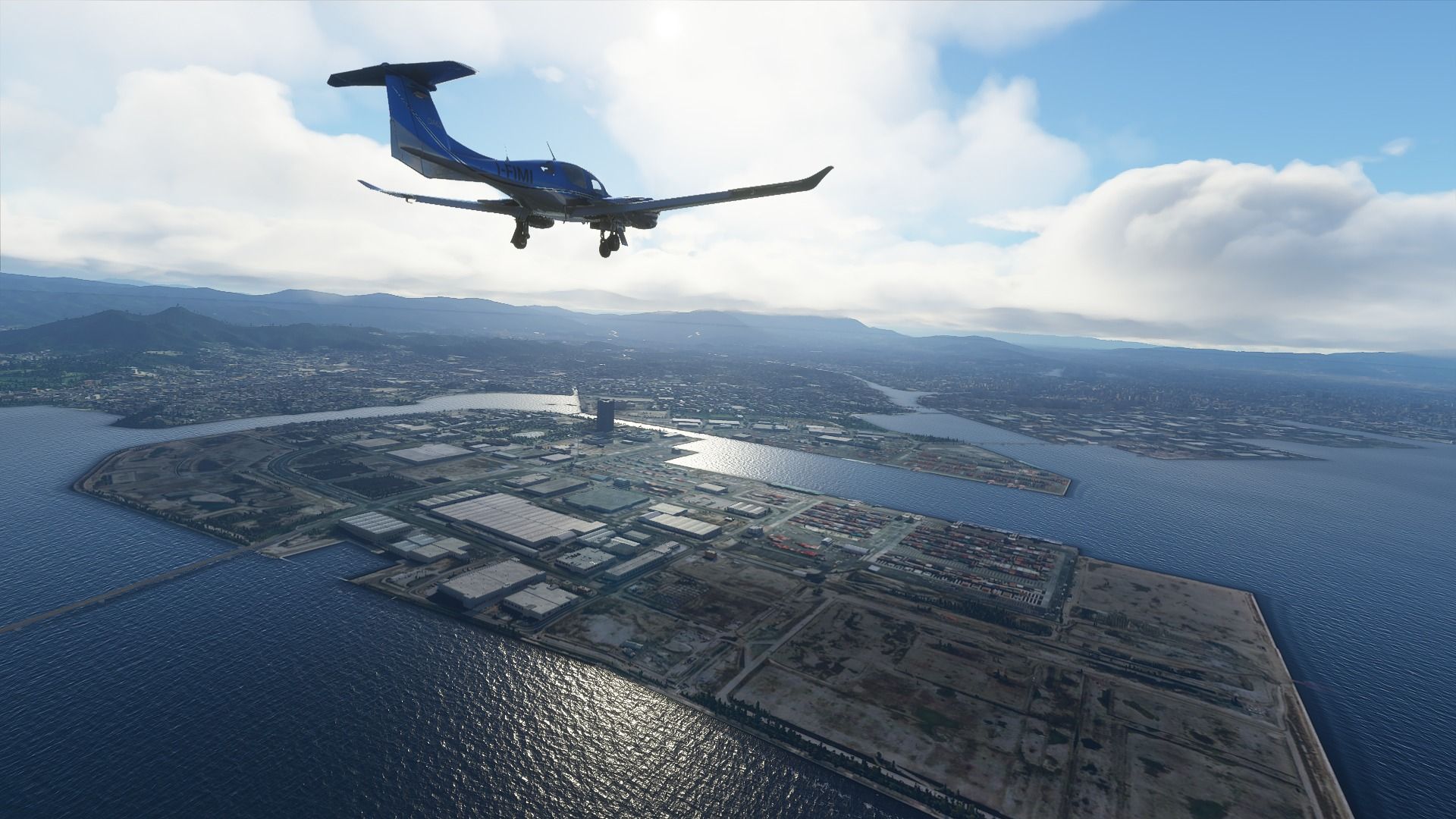
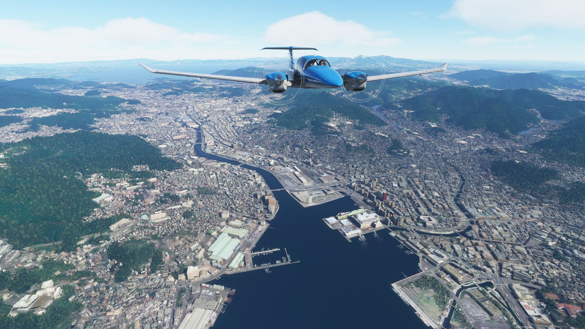
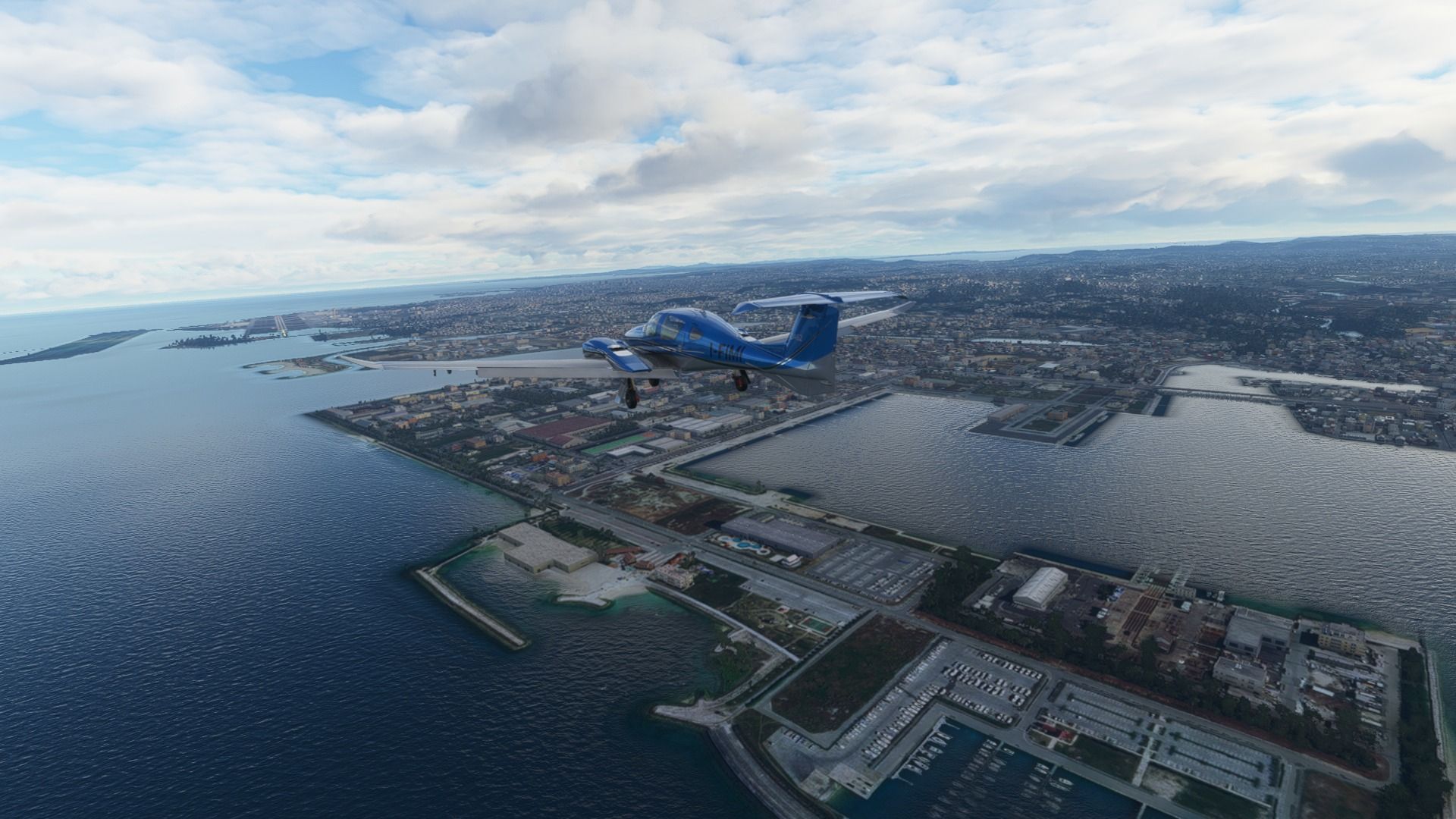
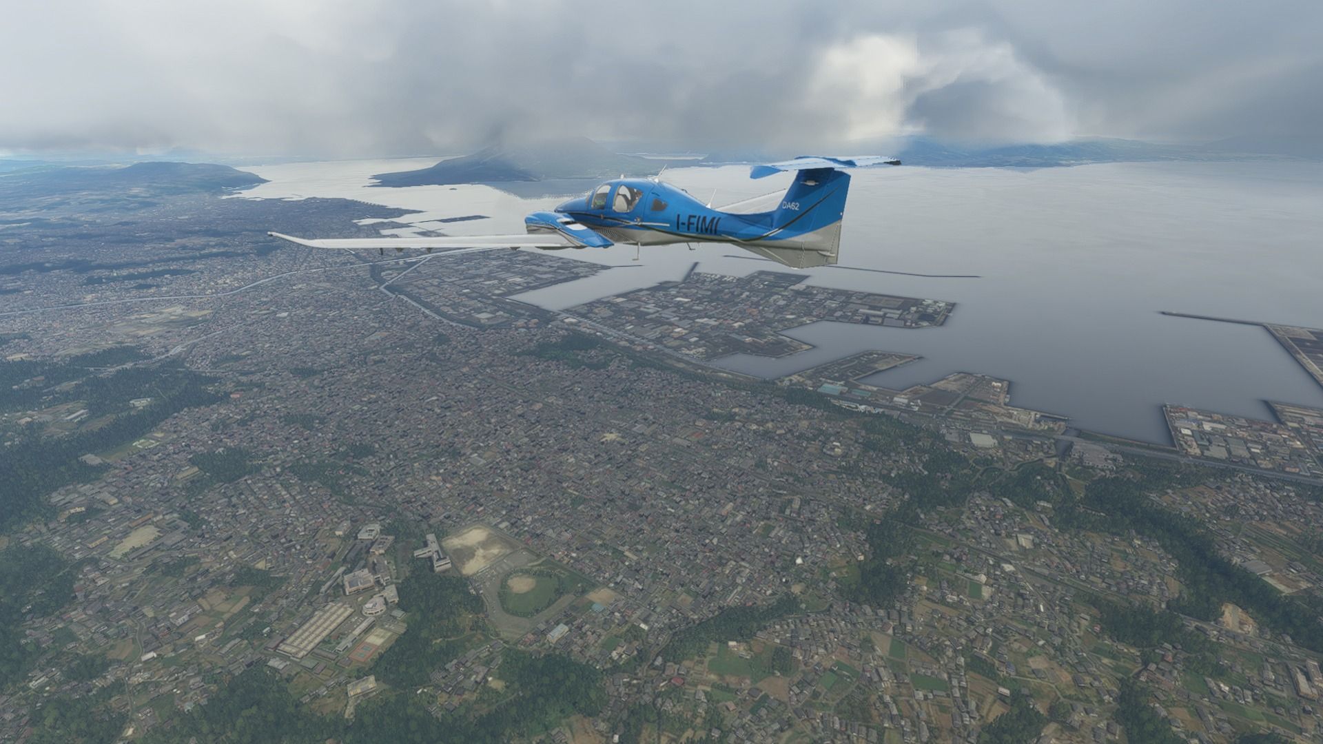
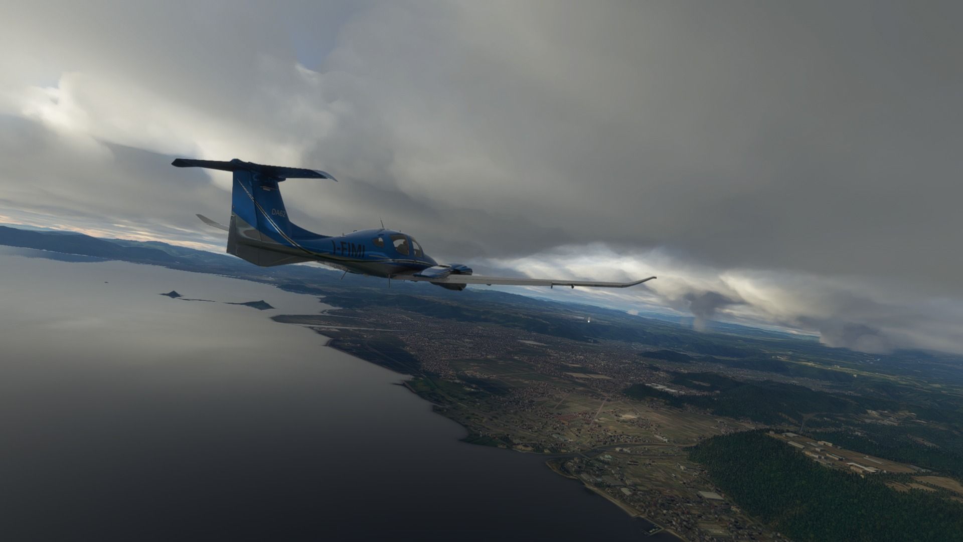
Flying over the city of Kagoshima. It’s called “The Naples of the East” and you’ll soon see why. Home to about 600,000 people, a rich food culture, and glorious history centered around the famous Shimazu samuraiclan and the Satsuma domain.

And here’s the reason for the nickname, the massive stratovolcano Sakurajima, still most definitely active. It used to be an island, but the giant eruption in 1914 turned it into a peninsula attaching it to the mainland. Luckily, the lava flow went into the opposite direction compared to the city, which suffered only minor damage due to ash fall.

The latest eruption was… last month. It’s quite the neighbor.

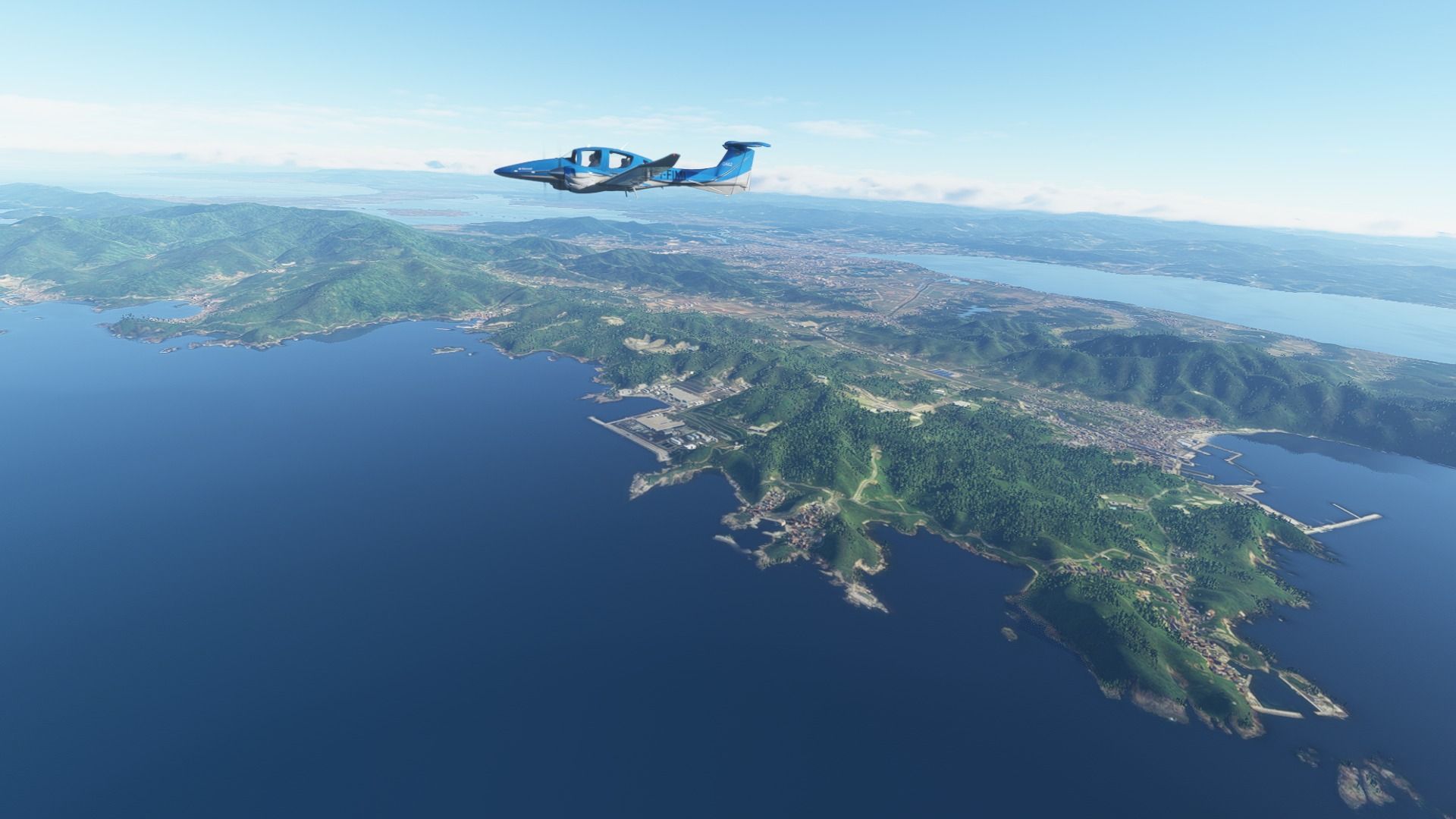
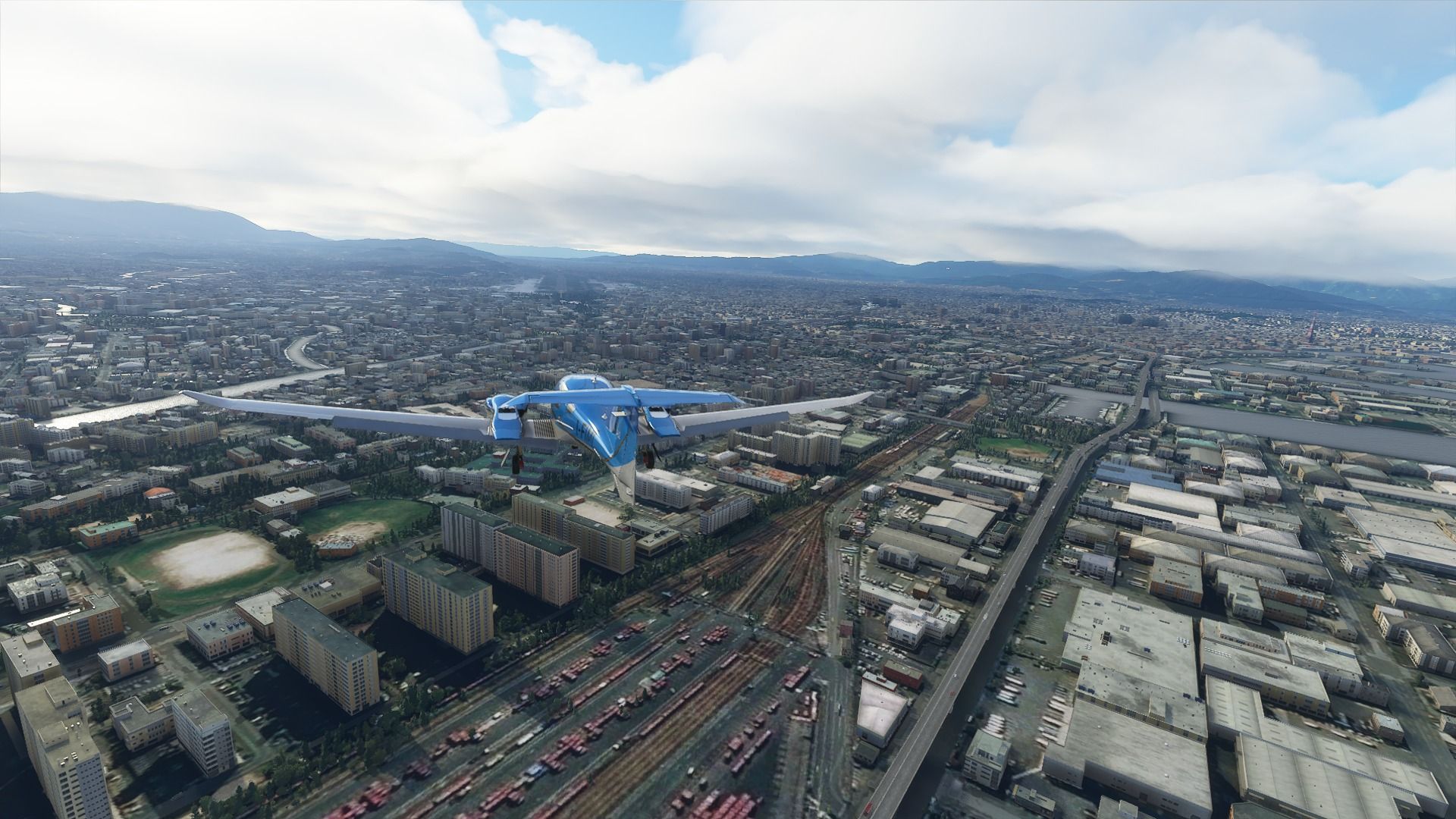
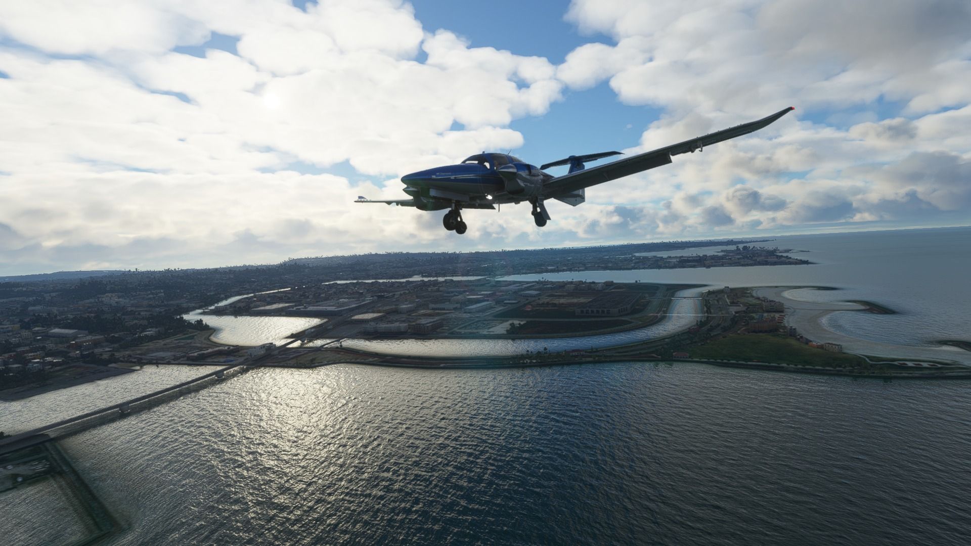
Approaching the airport, we fly over the city of Kirishima. With about 125,000 people, it’s much smaller than Kagoshima and takes its name from Mount Kirishima, which is also another active volcano. Yes. It’s a pattern.

The regional airline Japan Air Commuter has its headquarters here, with its main base at Kagoshima airport.

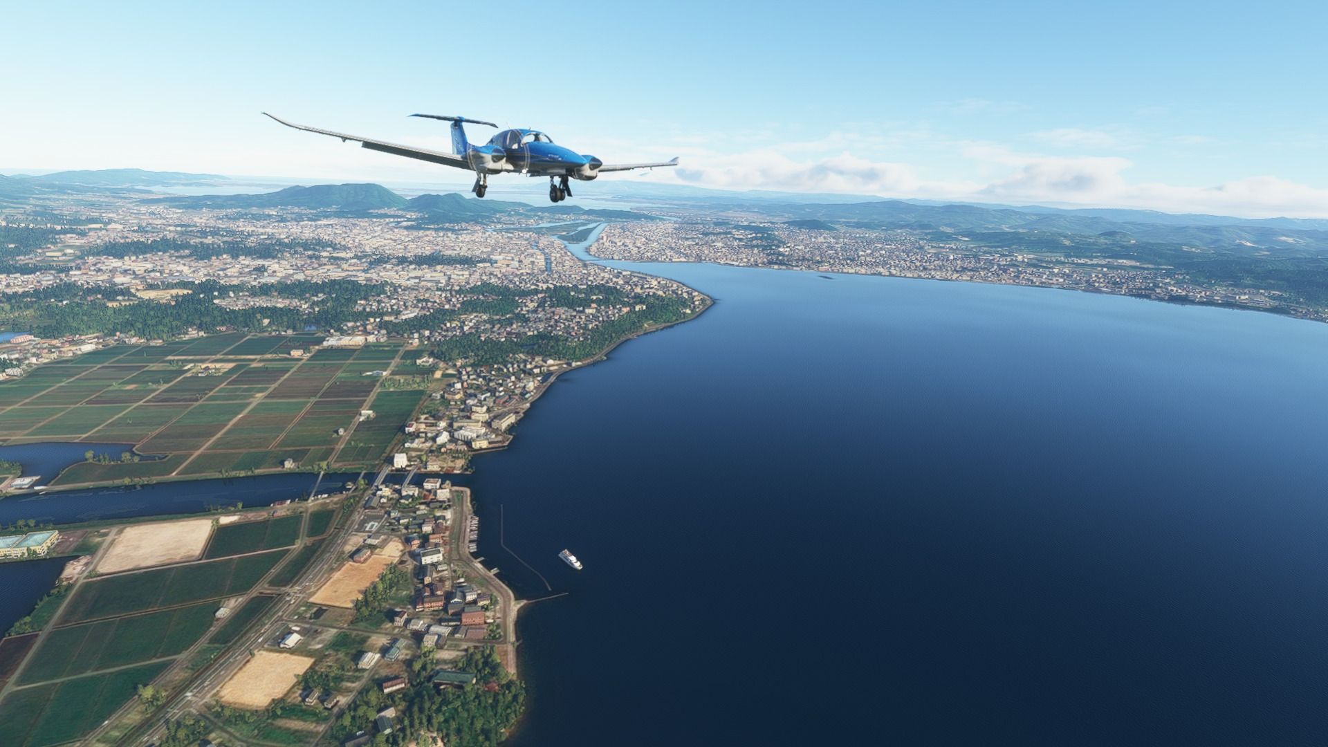
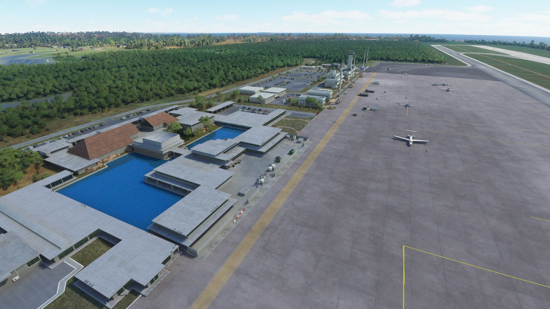
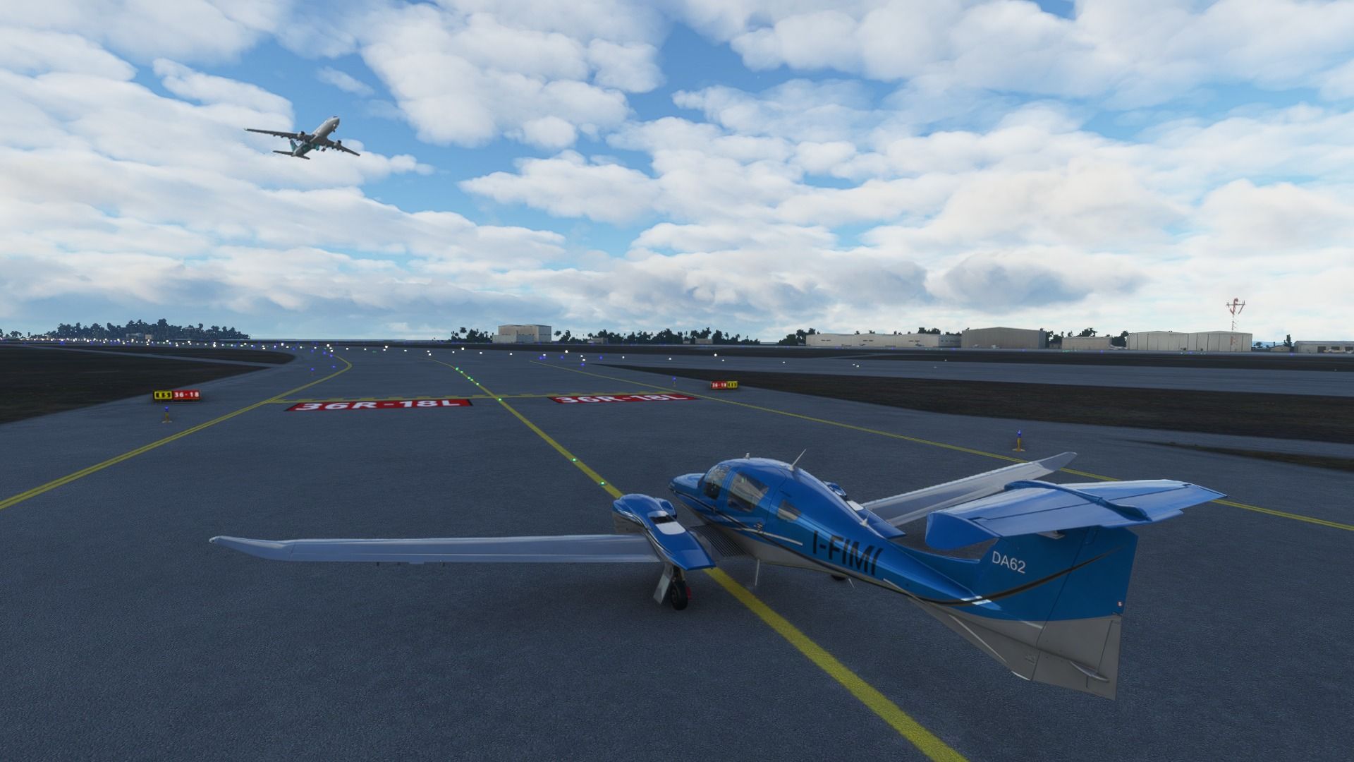
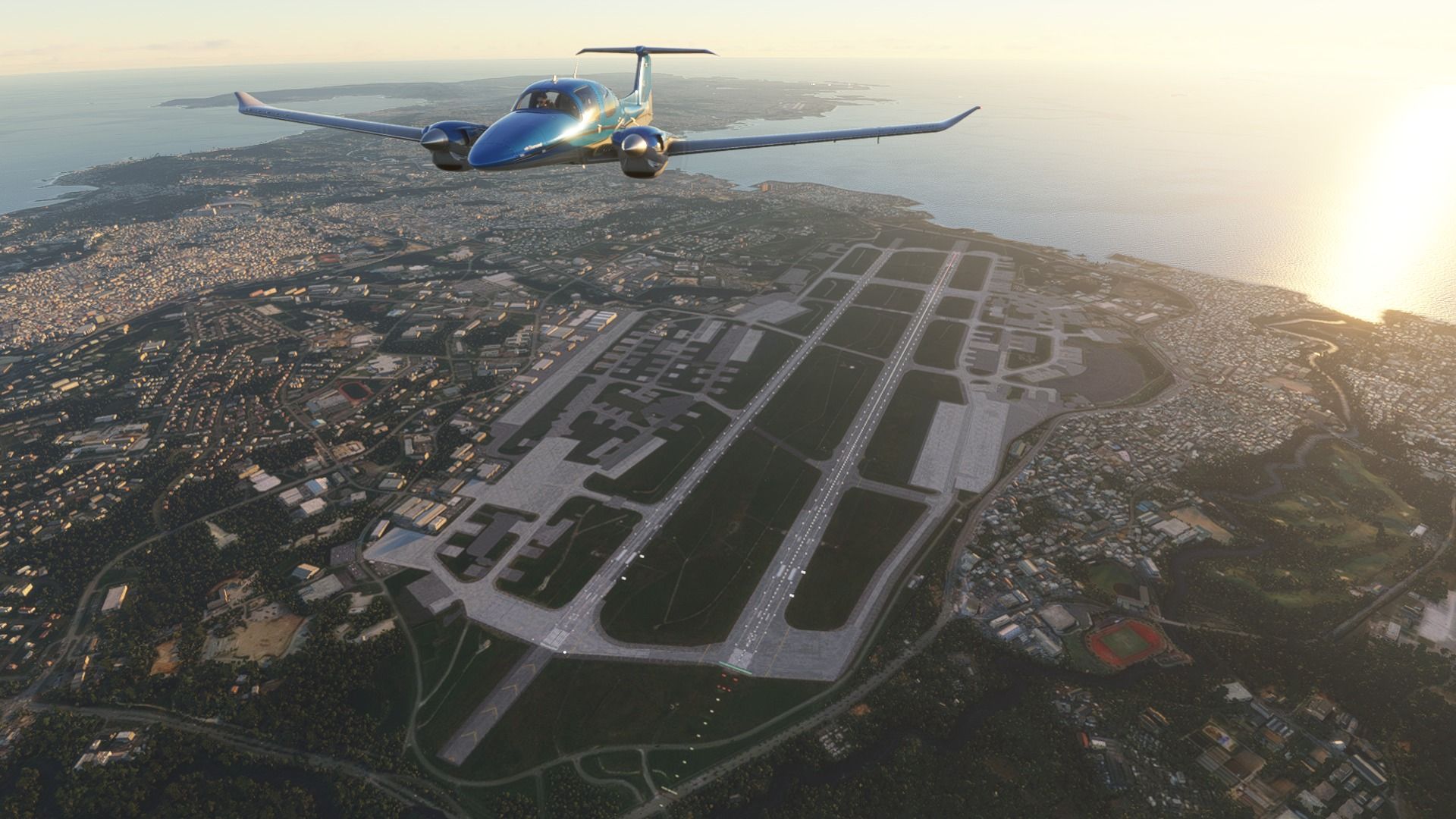
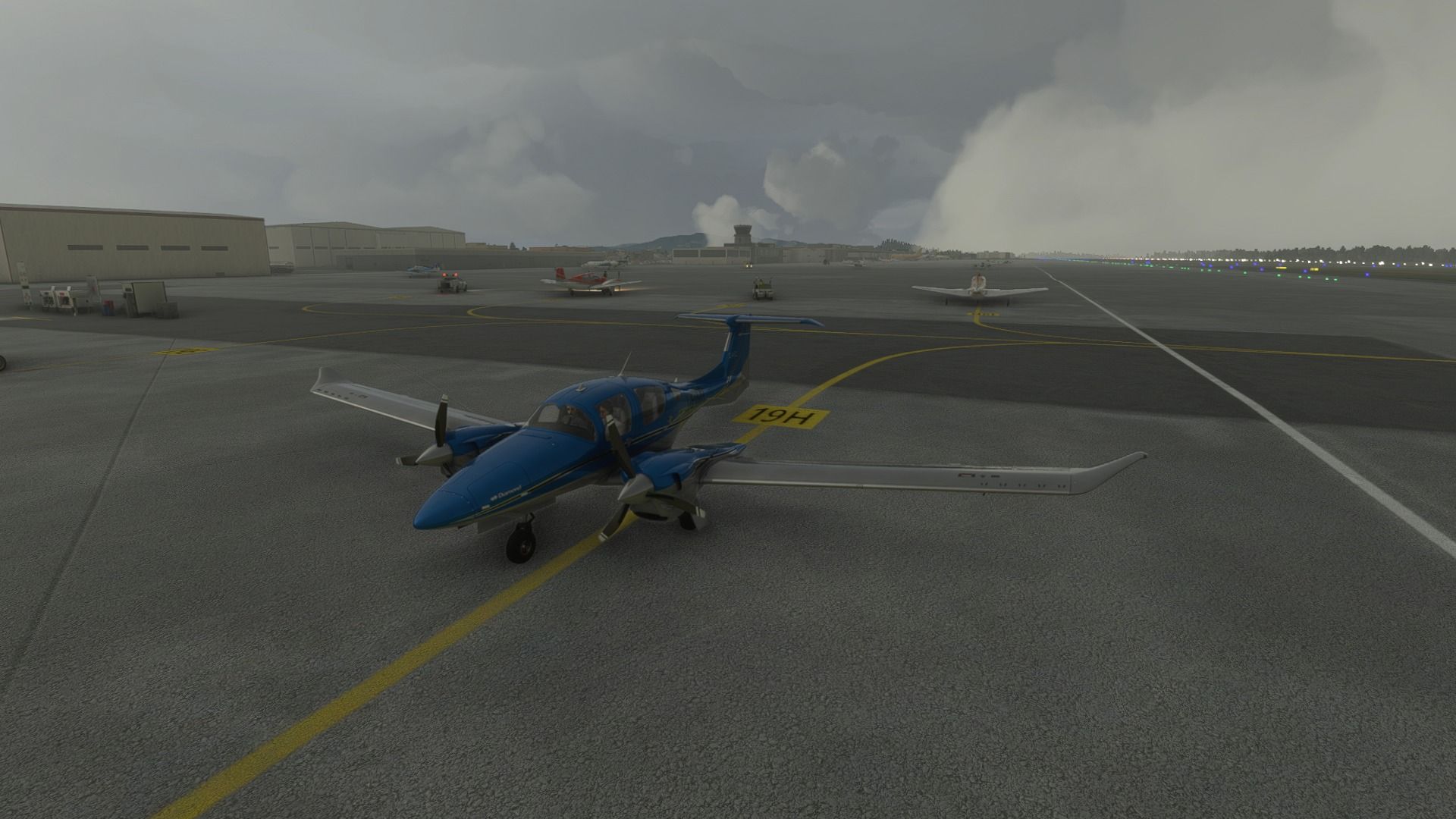
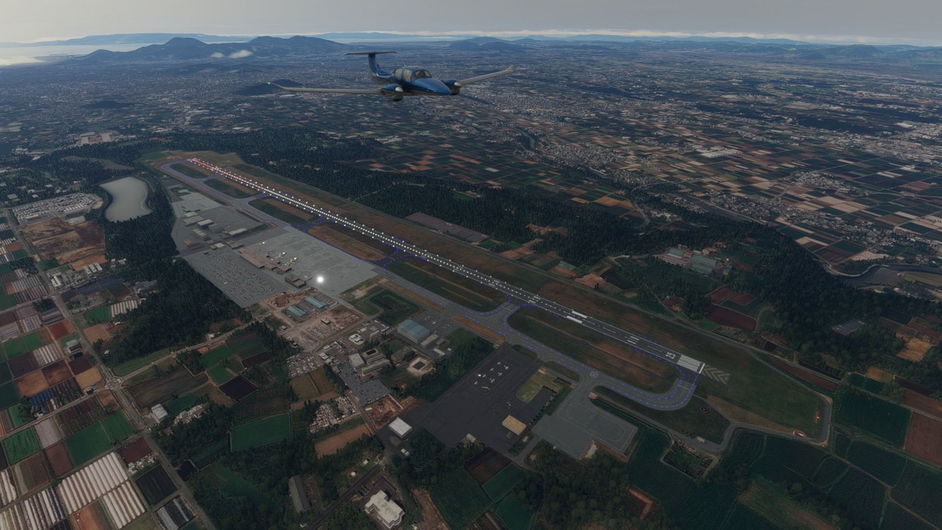
Kagoshima airport at last. It’s the second-busiest airport in Kyushu and hosts both domestic and international flights to Taiwan, China, and Korea.

Time to take off again from Kagoshima. Crappy day with very low clouds.

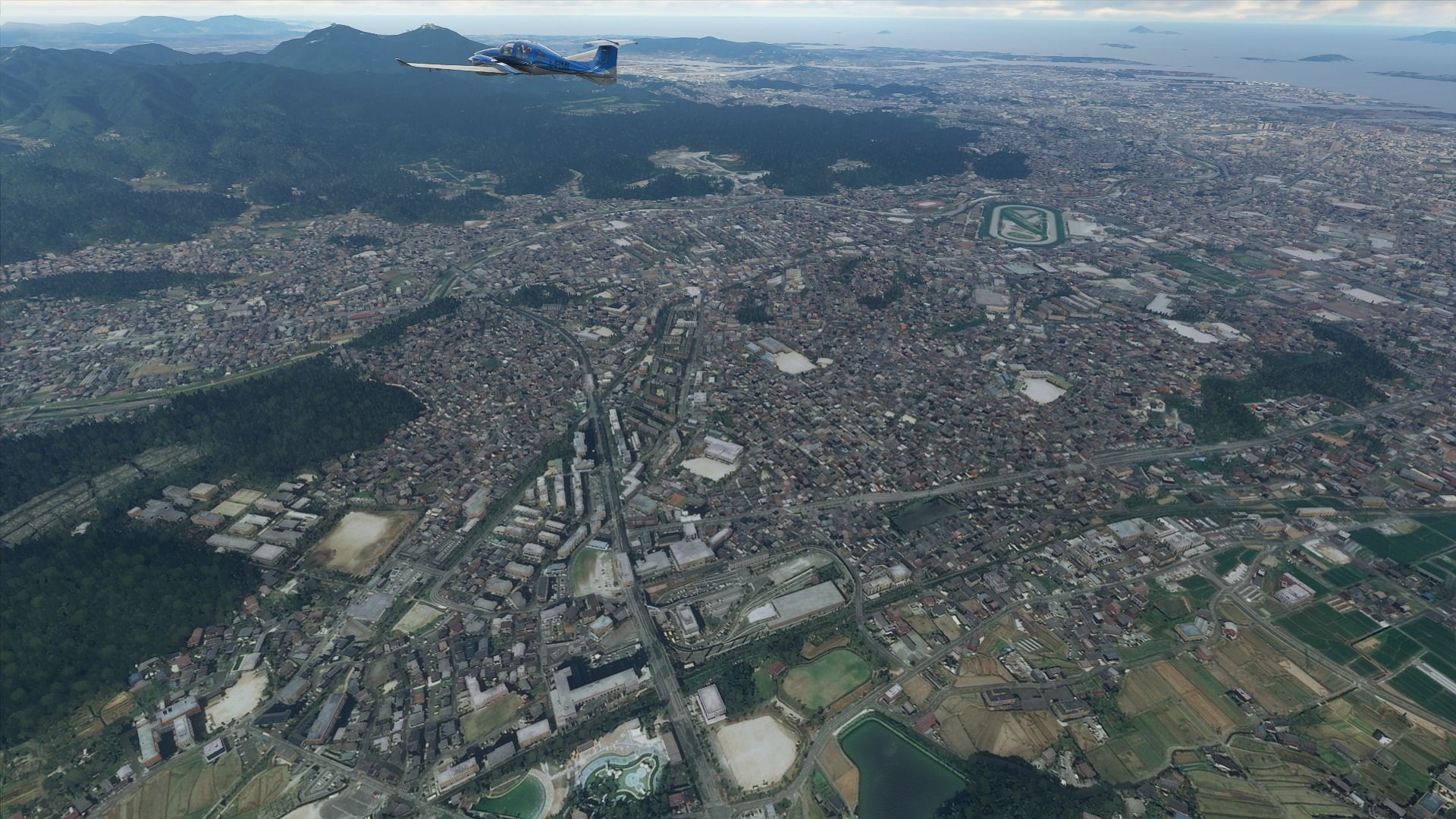
Kumamoto city and its airport. Capital of its own prefecture, it’s famous for its beautiful castle and the tomb of the famous samurai Miyamoto Musashi. While not as busy as Kagoshima, the airport hosts both domestic and international flights.

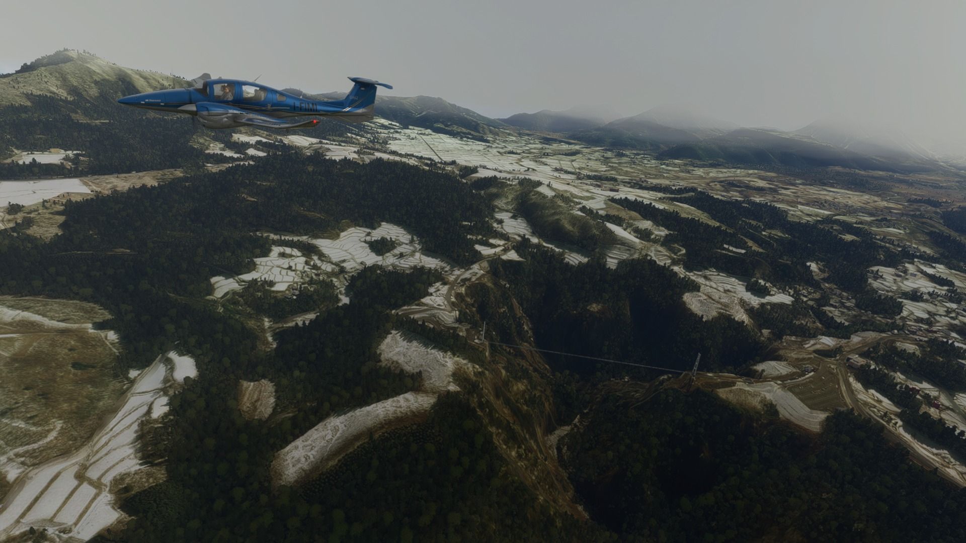
North-East of Kumamoto, we cross the Kiju Mountains and the famous Kokonoe Yume Otsurihasi suspension bridge across a beautiful and scary as hell canyon with forests and waterfalls. 390 meters long, it’s suspended 173 meters above the valley floor. I actually crossed it on foot (it’s a pedestrian bridge) years ago, and I’m terribly afraid of heights. I’ll leave the rest to your imagination.

Tsuiki Air Field home of the JASDF 8th Air Wing and its partly home built Mitsubishi F-2 fighters.

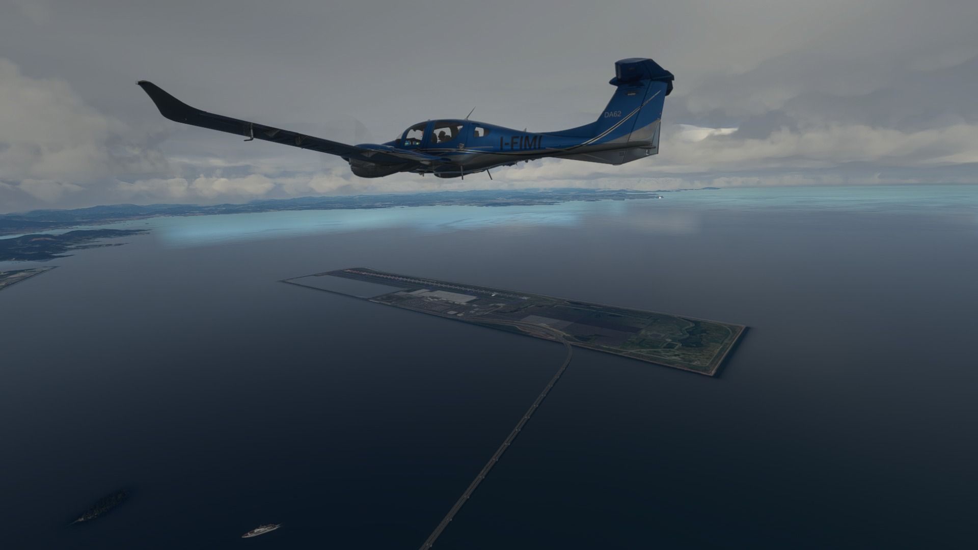
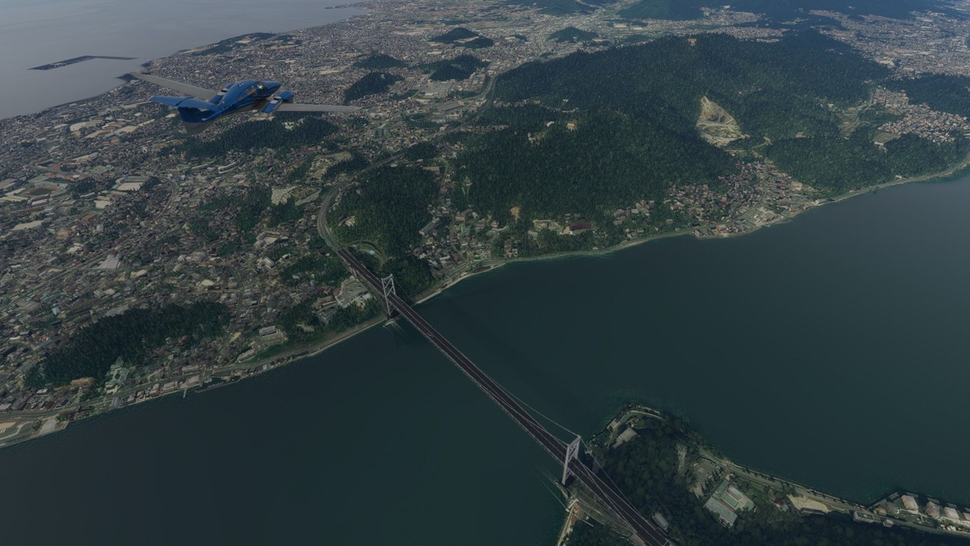
Kitakyushu airport and Kanmon Bridge. We’ve already been here and we’re crossing the Kanmon straits back to the mainland of Honshu.

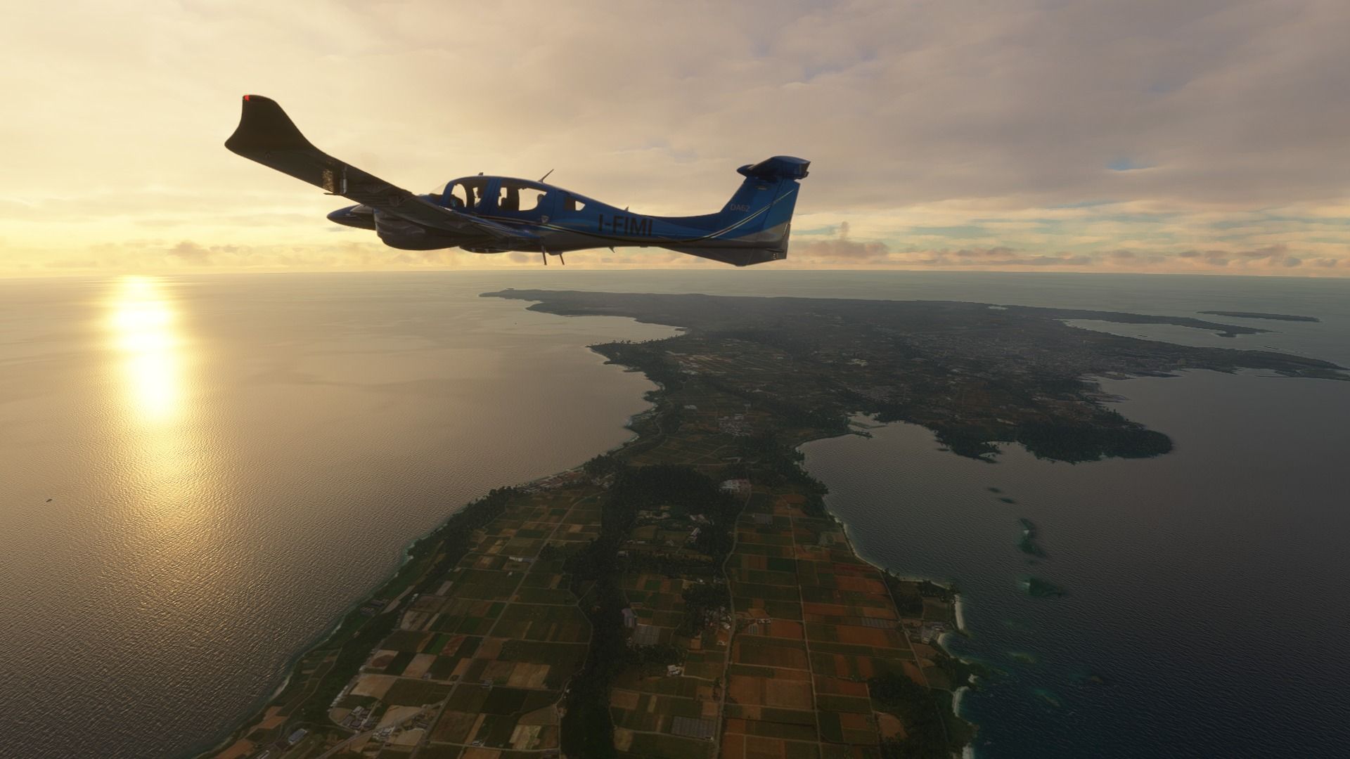
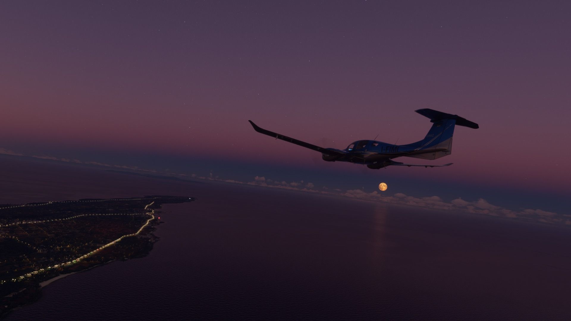
The clouds get really low as we reach Hagi, home to a population of 50,000, a beautiful castle town of the same name, and Hagi ware, a famous form of pottery.

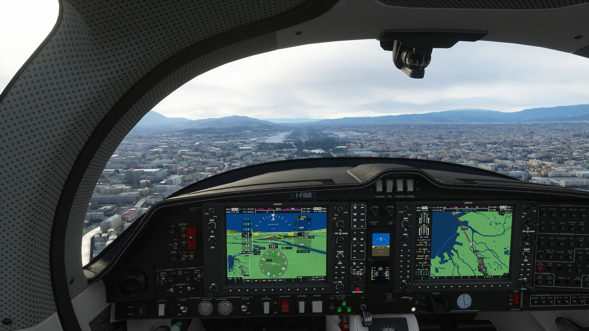
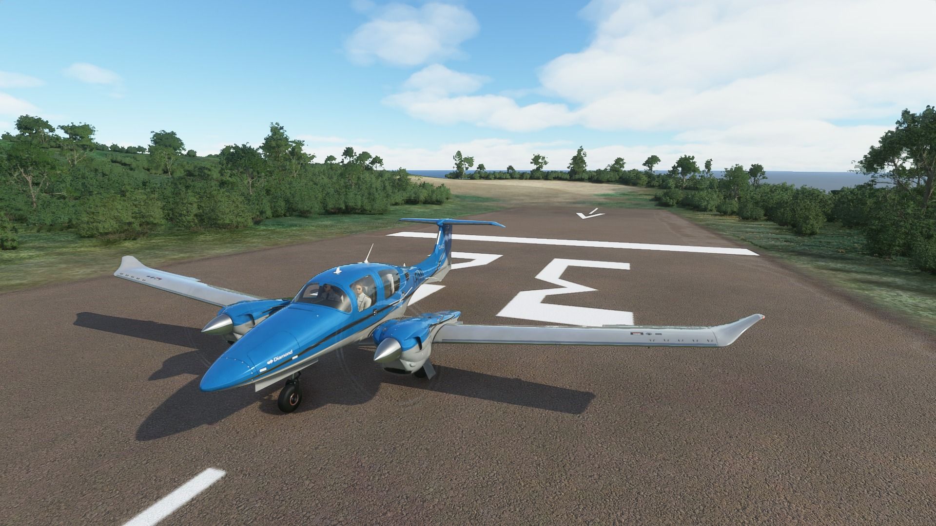
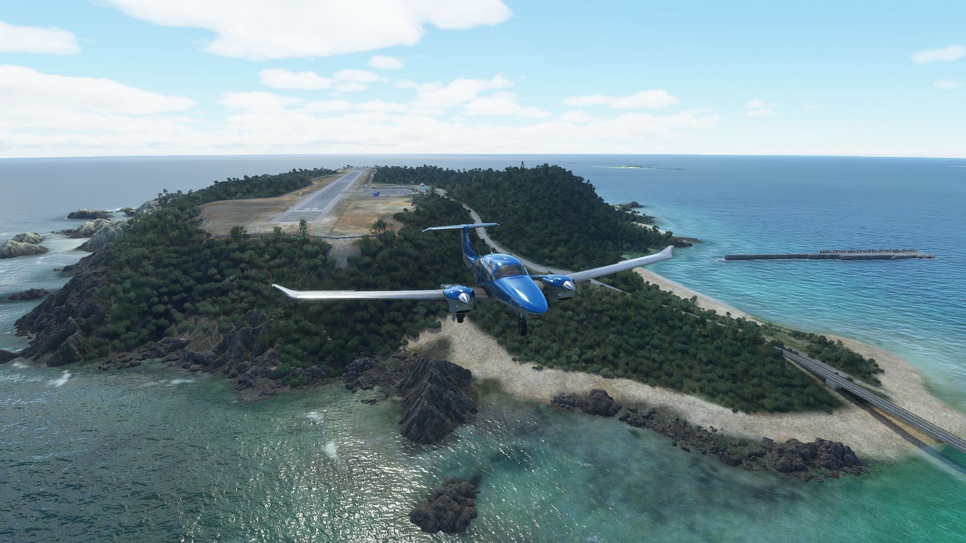
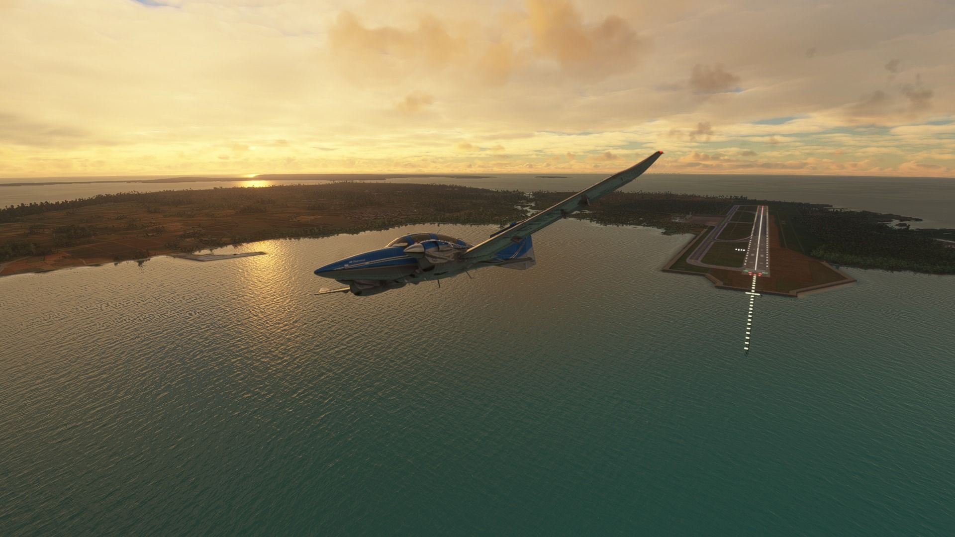
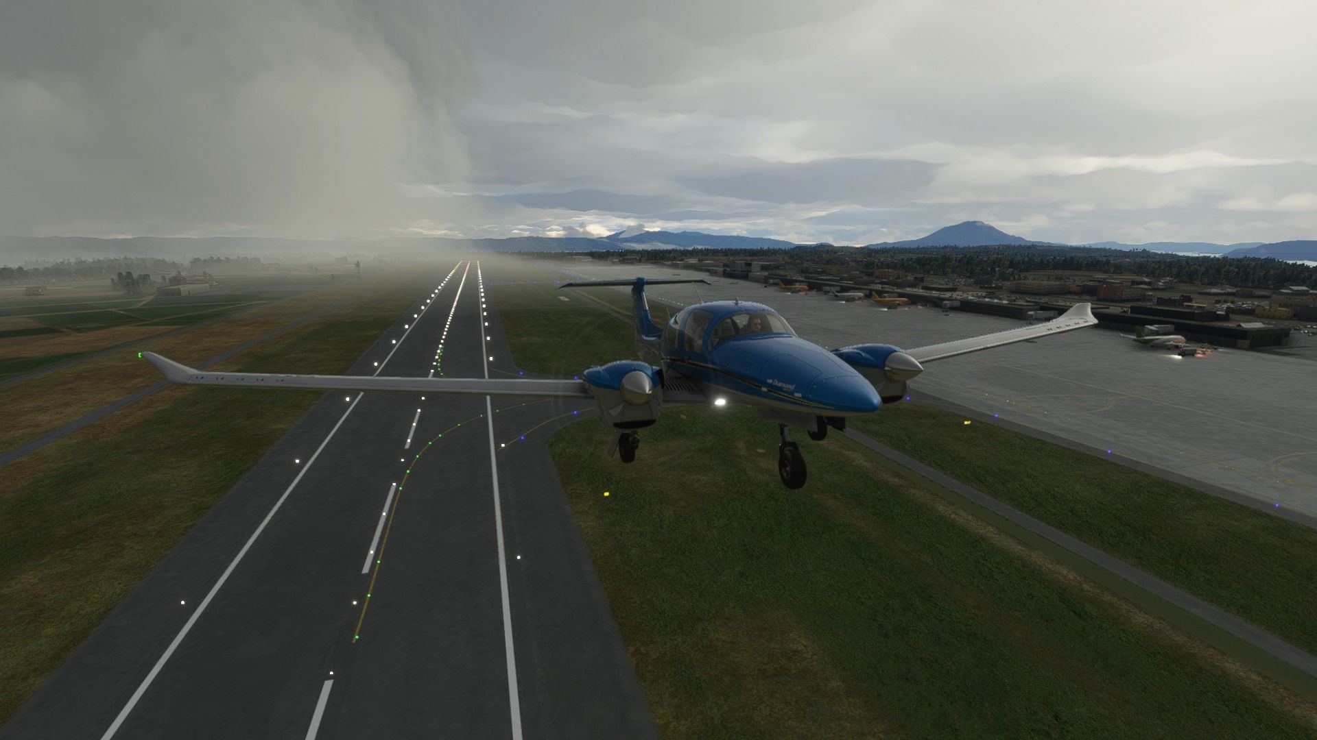
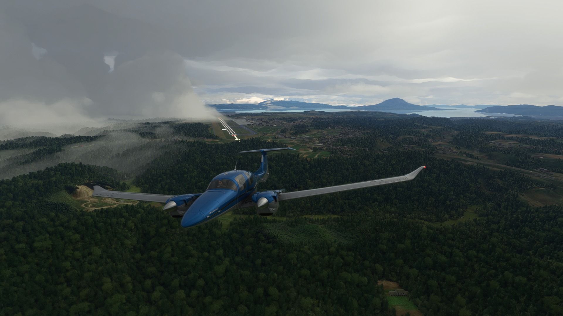
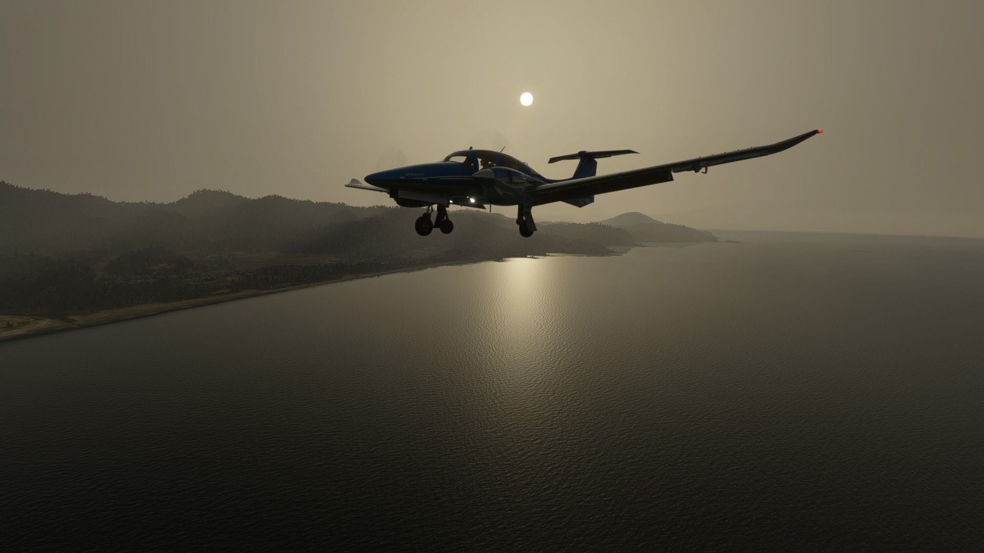
Buttering the landing at Iwami airport despite the poor visibility. It’s a small airport that hosts only two daily flights to Tokyo operated by ANA. The famous Hagi-Iwami Airport Marathon in the fall starts with a run on the airport’s runway. In the summer, the Inaka Ride has cyclists cycling on the runway as well. The airport isn’t busy enough to requiring its scheduled operations be interrupted for either event.

2 Likes

Time for leg 20, from Iwami (RJOW) to Izumo (RJOC) across Shimane prefecture.

As usual, here’s the full gallery:

Taking off from Iwami along the coast.

The Misumi Power Station, a coal-fired power station in Masuda capable to produce 1,000 MW of electricity.

The port of Hamada, one of the biggest in the region. The city also hosts Shimane university, which can be seen in the second picture.


While the city of Gotsu is the smallest in the prefecture, it has some of the best beaches in the region, making it a great (albeit not really mainstream) tourist destination.

The mountains in Shimane prefecture are beautiful, full of heavily forested valley and lovely little towns along the rivers.


The city of Izumo and its airport, where we’ll land later. With a population of over 170,000, it’s a rather sizable city famous for its soba noodle and Izumo Taisha, the oldest Shinto shrine in Japan, so old that the date of its establishment is unknown.


Back over the sea, we fly in sight of Shimane Nuclear Power Plant and the small docks serving the nearby city of Matsue.

We briefly see the tip of Tottori prefecture with the city of Sakaiminato, which hosts the Miho Airbase/Yonago Airport runway. Sakaiminato is an important seaport open to trade with the west since 1899.

Back toward the city of Matsue we find the brackish lake Nakaumi and its inhabited islands Daikon and Eshima, which are part of Matuse itself despite being closer to Sakaiminato.

The city of Matsue, known for its castle, the beautiful lake Shinji, and quite a few shrines including Yaegaki Jinja, Sada Jinja and more.

Those who love visual novels will also know that Matsue is the location of the visual novel Root Letter, which was actually sponsored by Shimane prefecture like its sequel Root Film.

Approach and landing at Izumo airport, which has a few scheduled flights to Tokyo, Fukuoka, Osaka, Kobe, Nagoya, Sendai, and Shizuoka. It also has a statue of Shimane’s cat mascot, Shimanekko.

1 Like