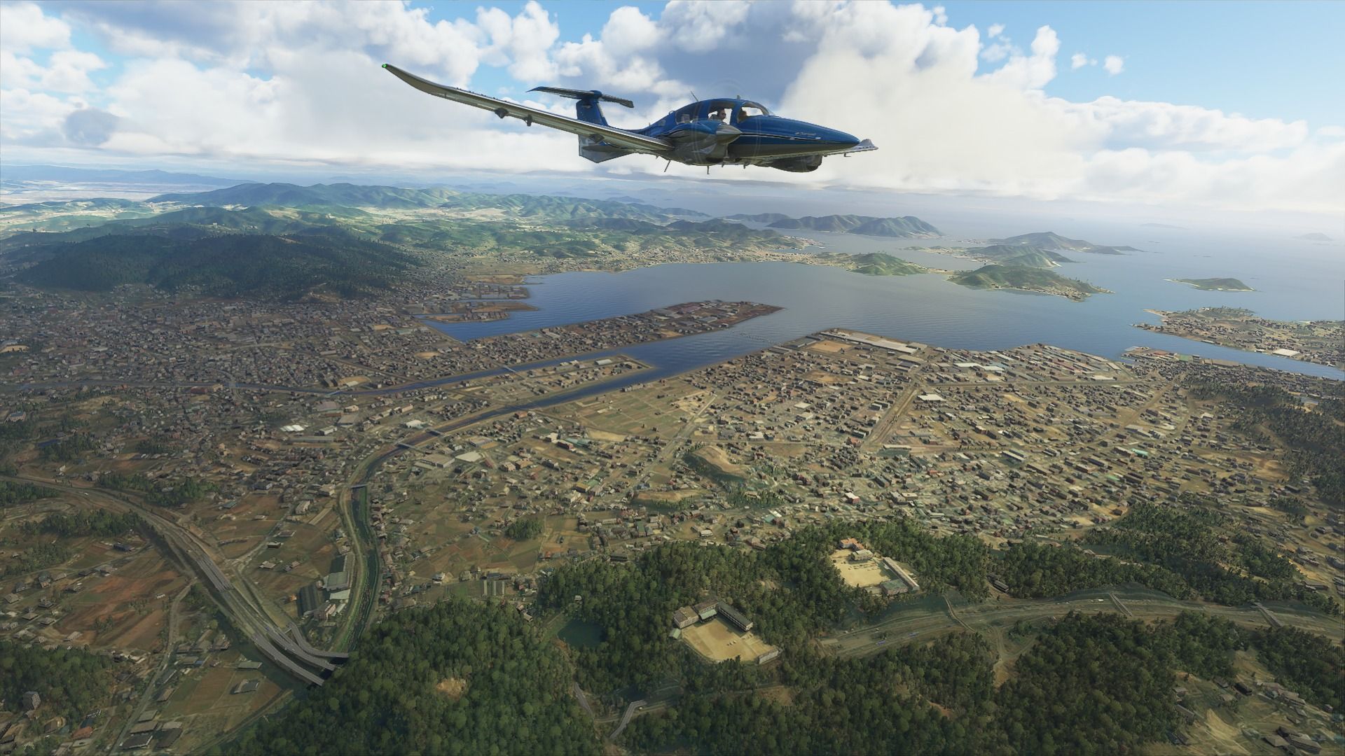
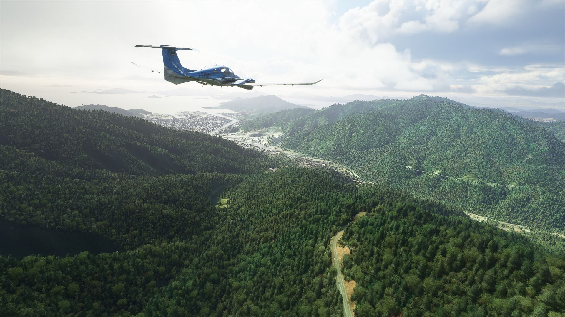
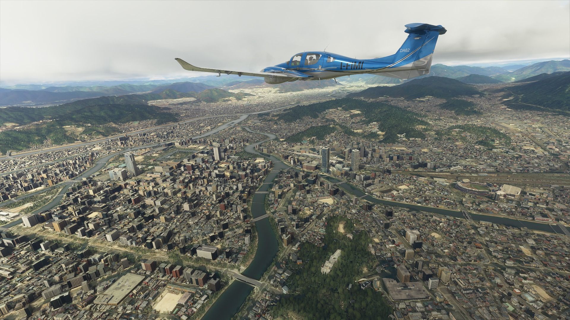
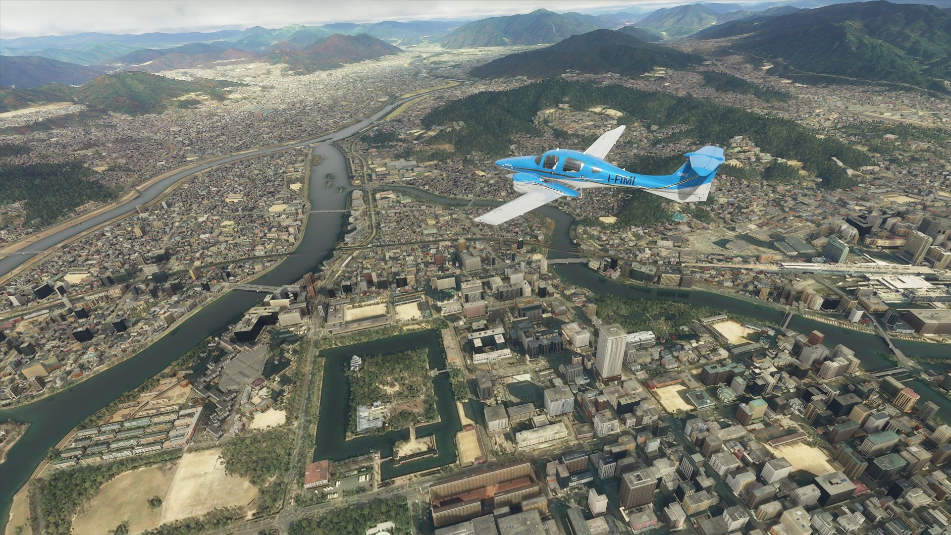
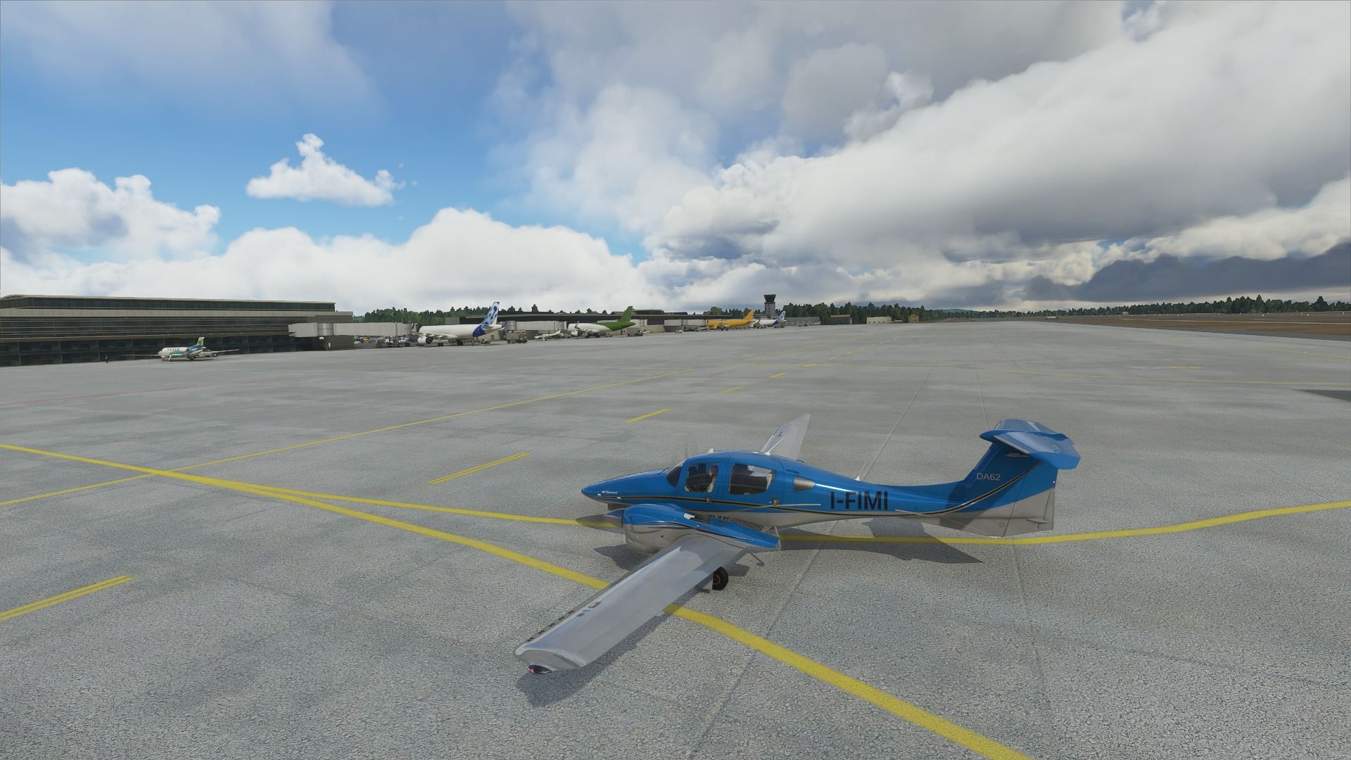
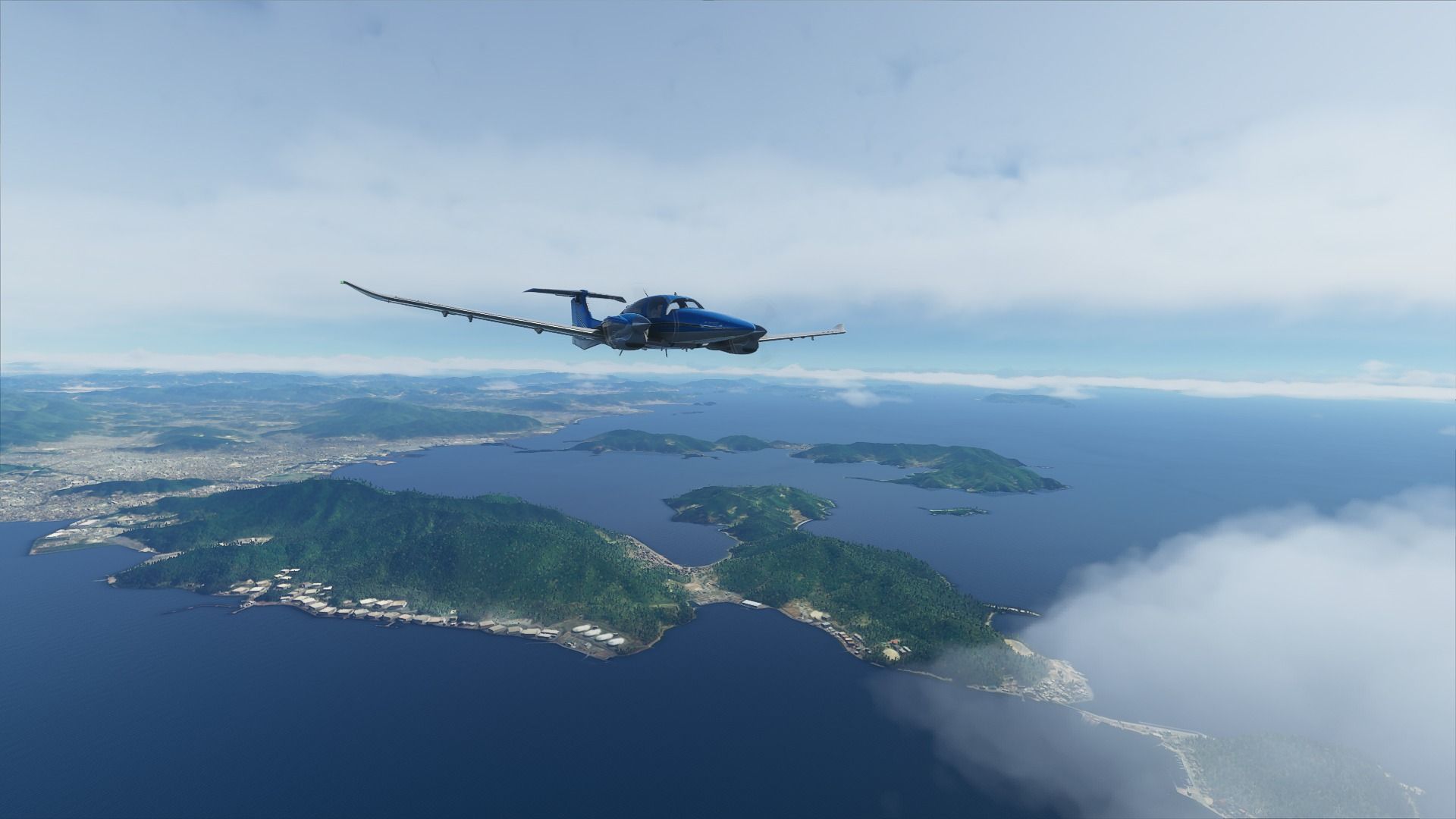
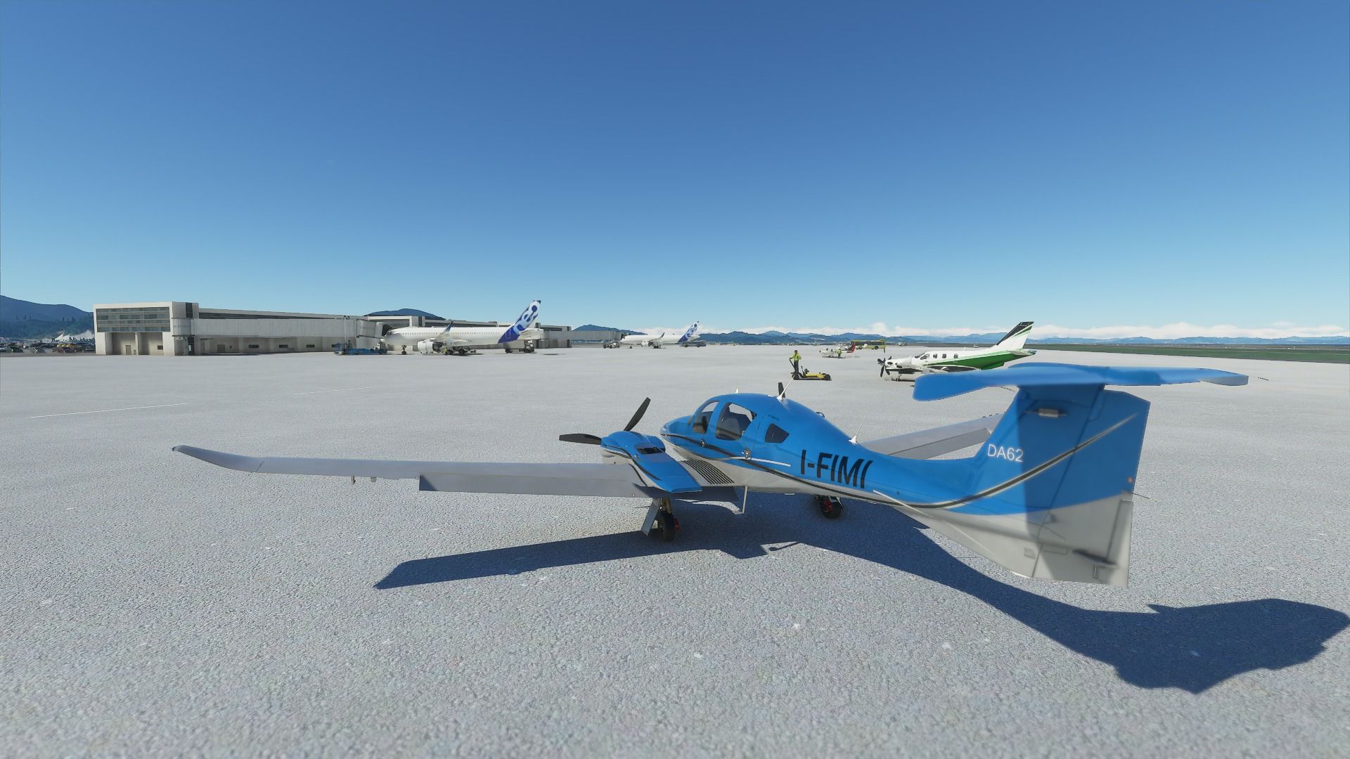
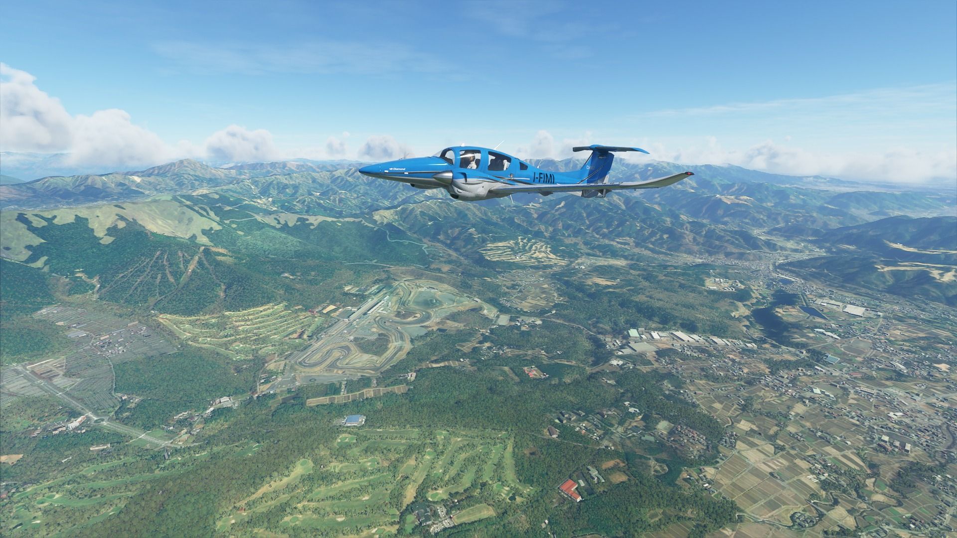
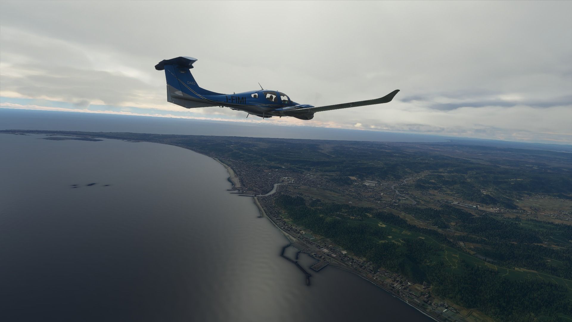
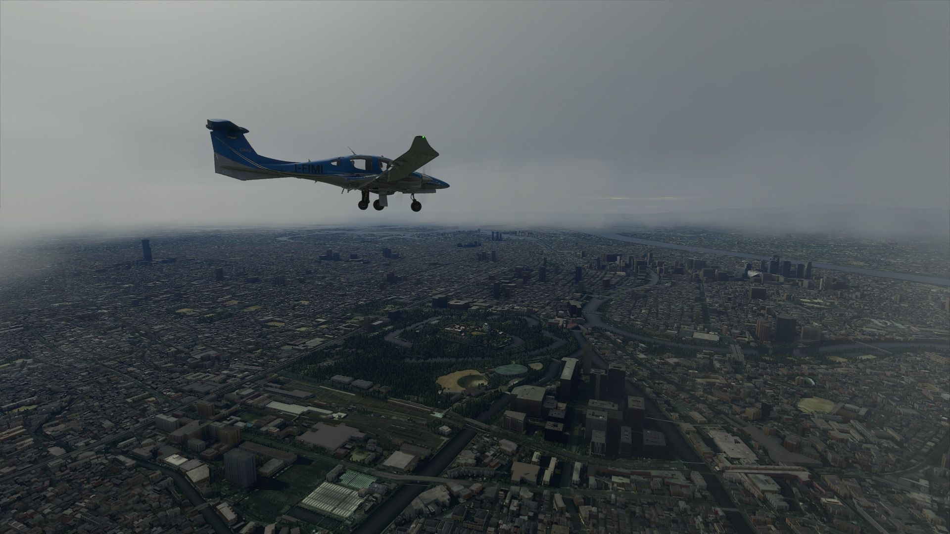
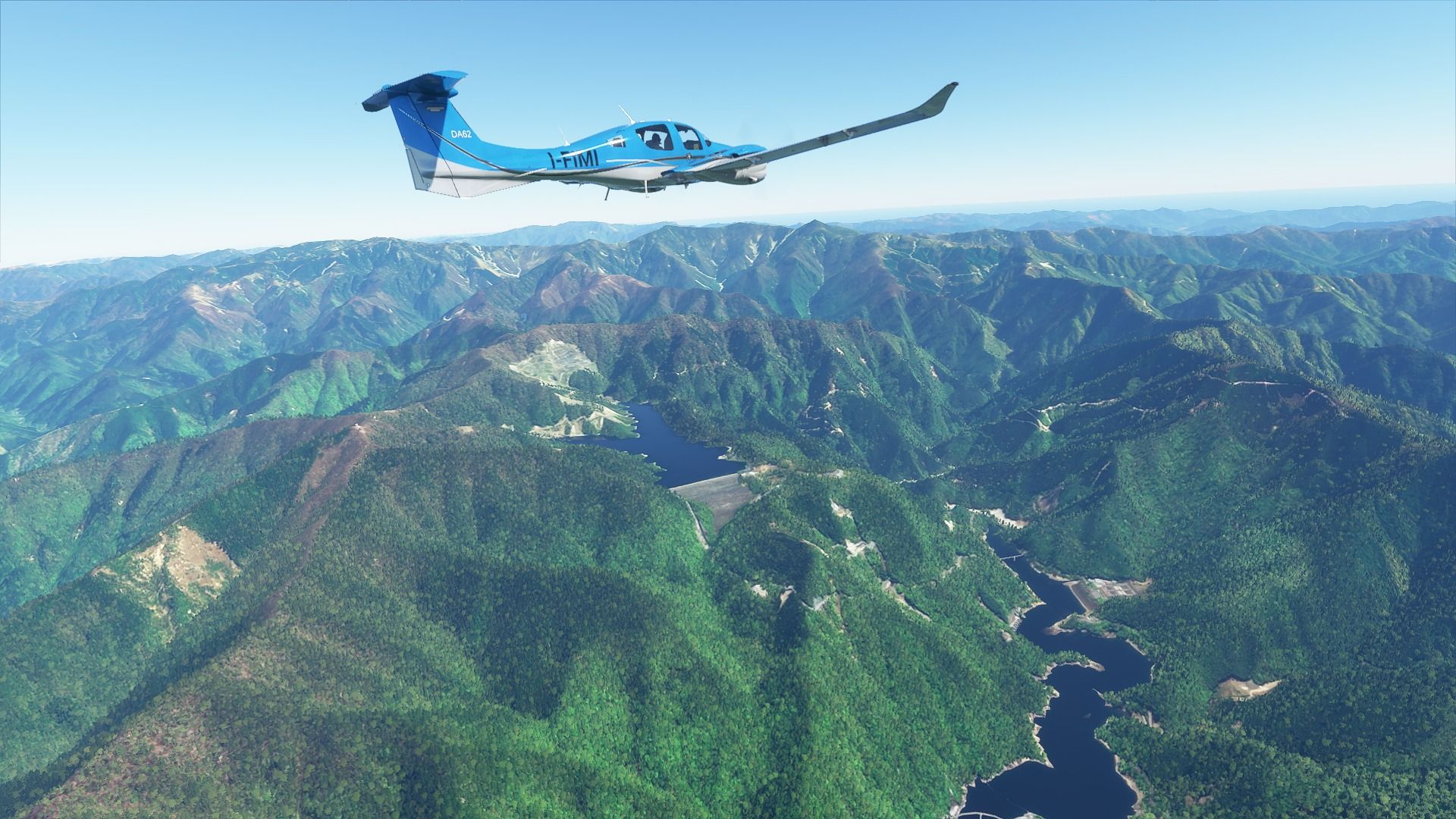
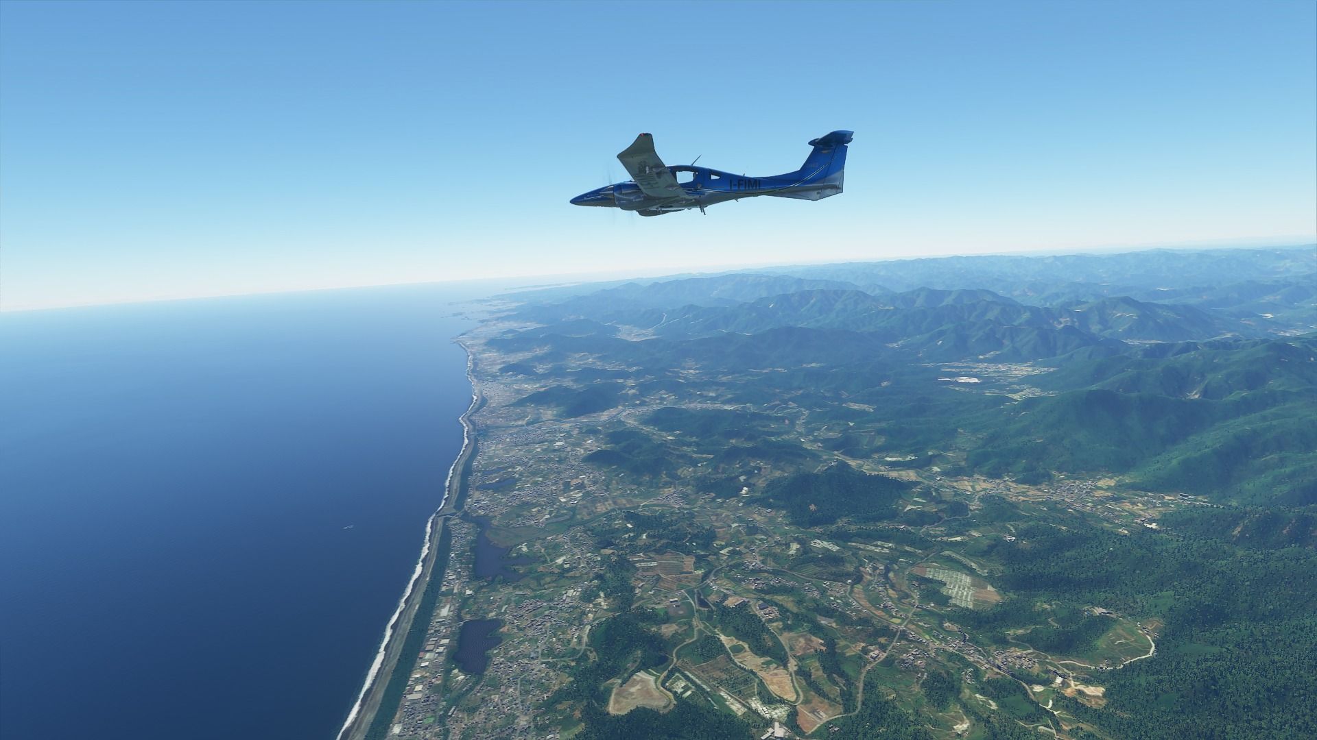
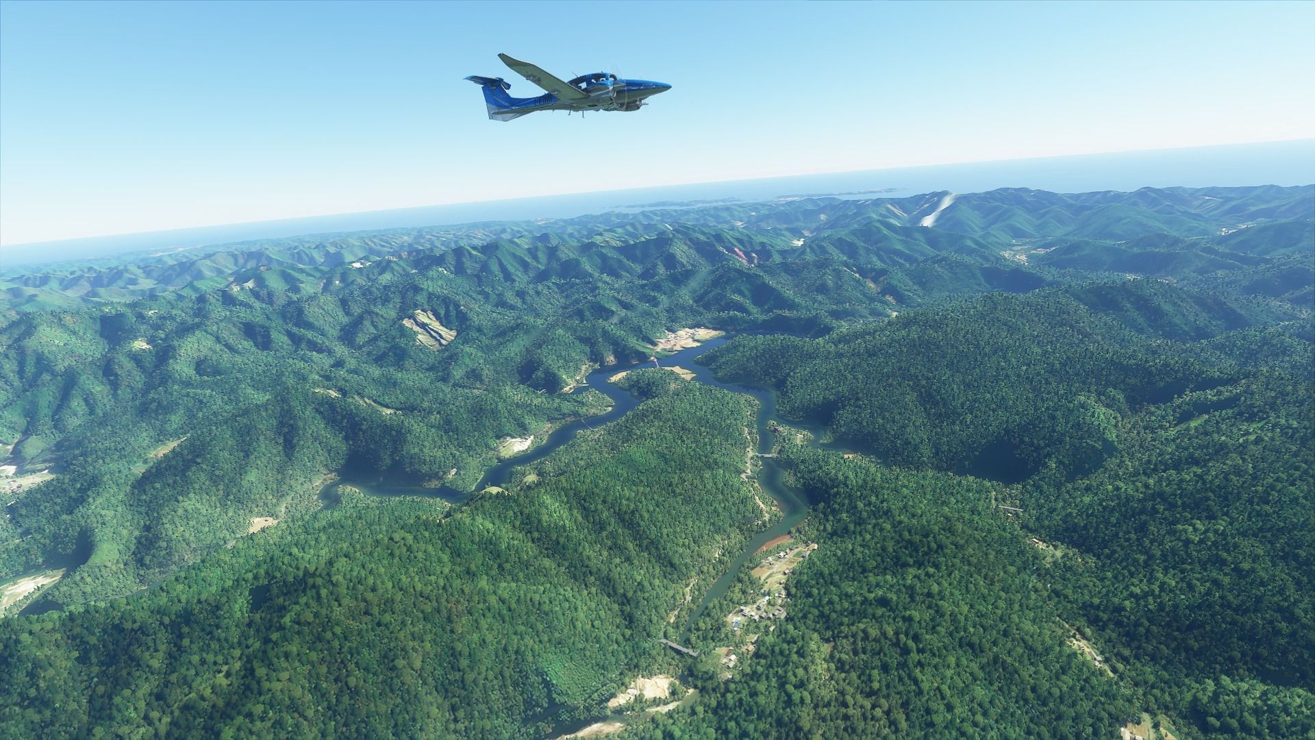
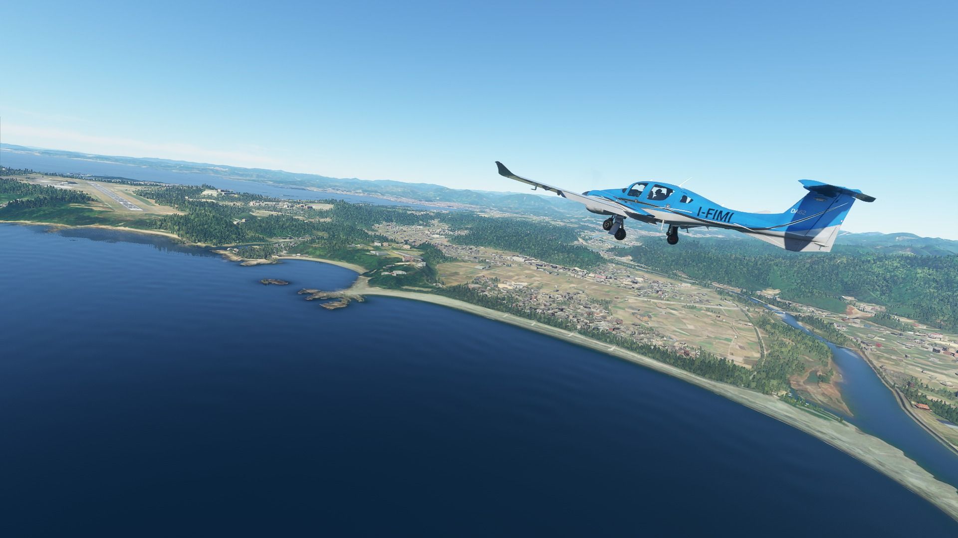
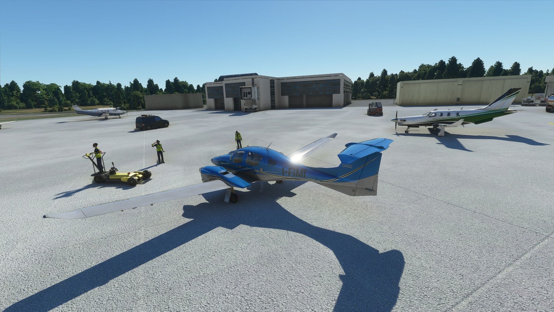
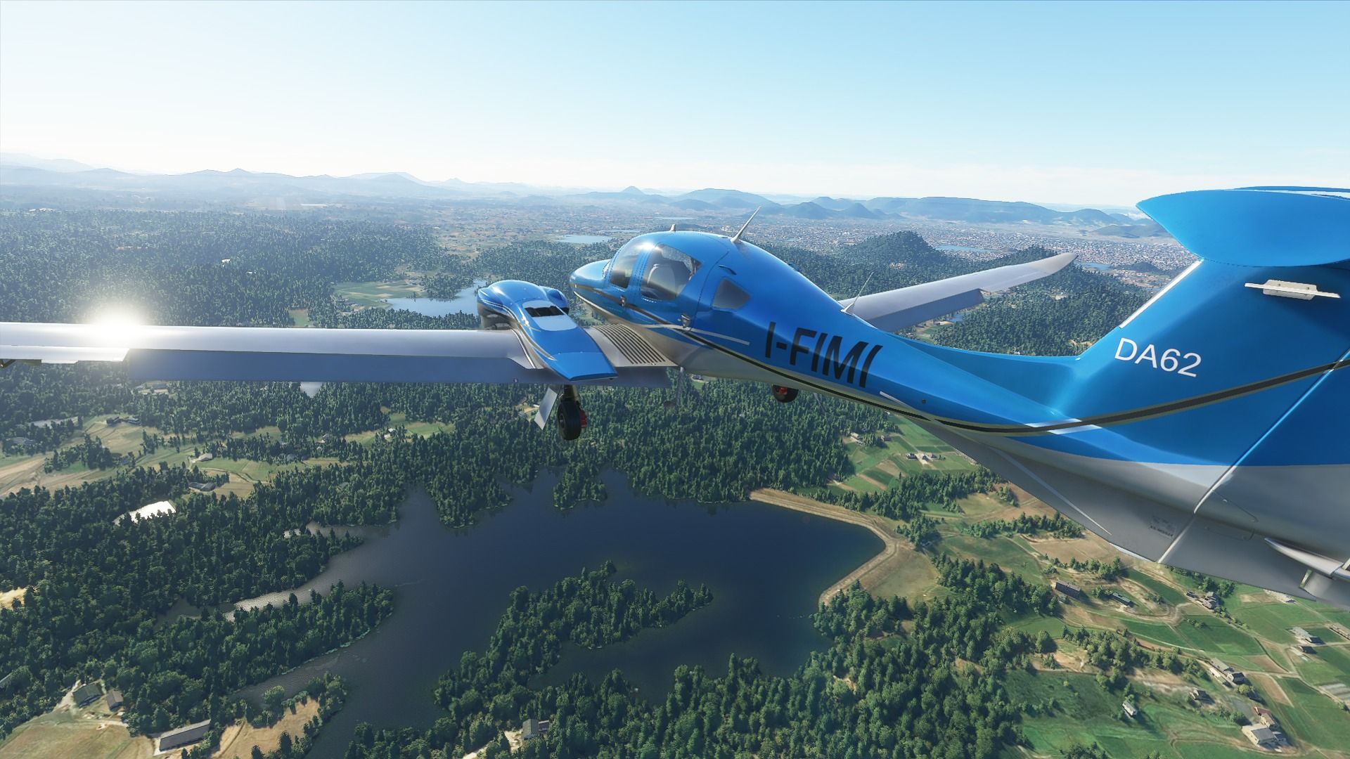
Finally started my tour of Japan, which will bring me around the country on a Diamond DA62 hitting most major spots and plenty of lesser-known ones.
I know Japan quite well since I have been staying there for work for 3-4 months a year for the past 10 years, and due to this human malware thing going on, I’ve been away since January 2020. This is the perfect occasion to dwell into some nostalgia while I wait for the borders to open again. I love the country, and I really miss it.
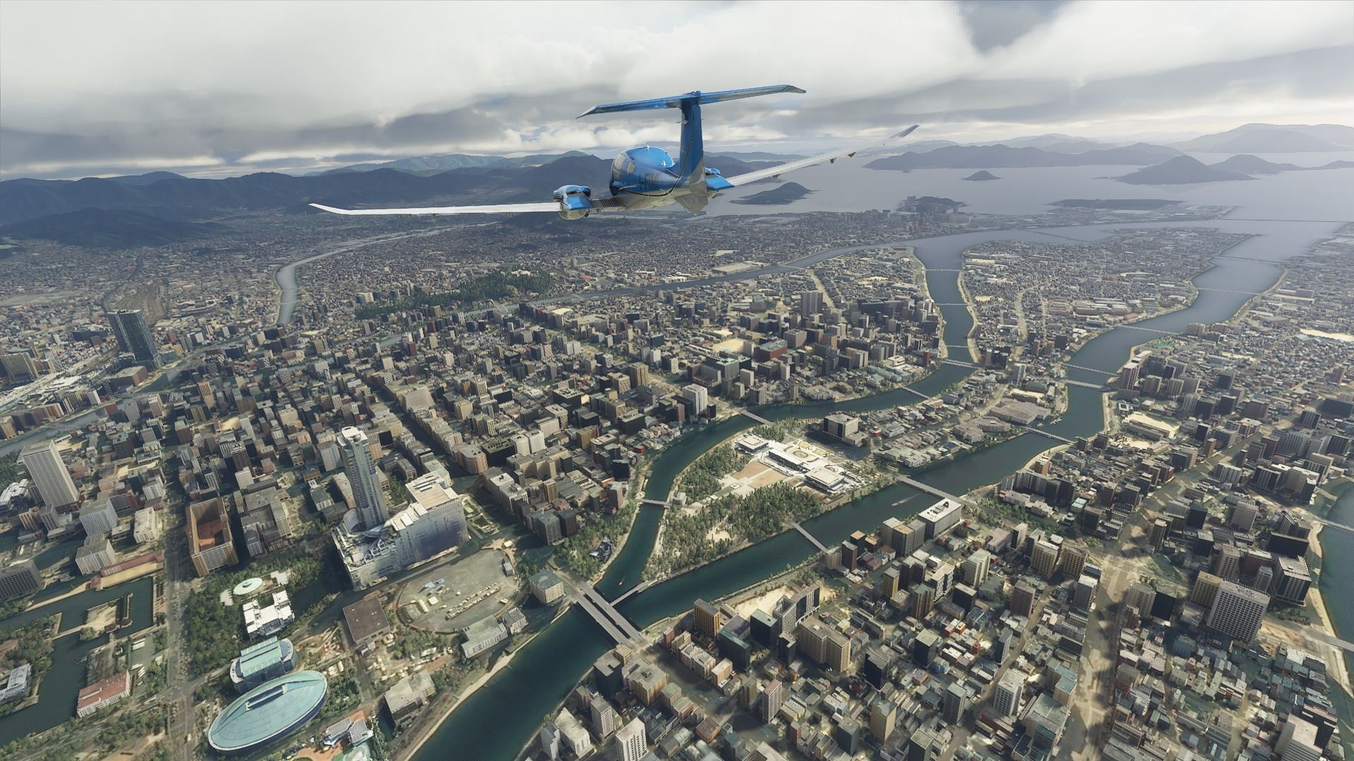
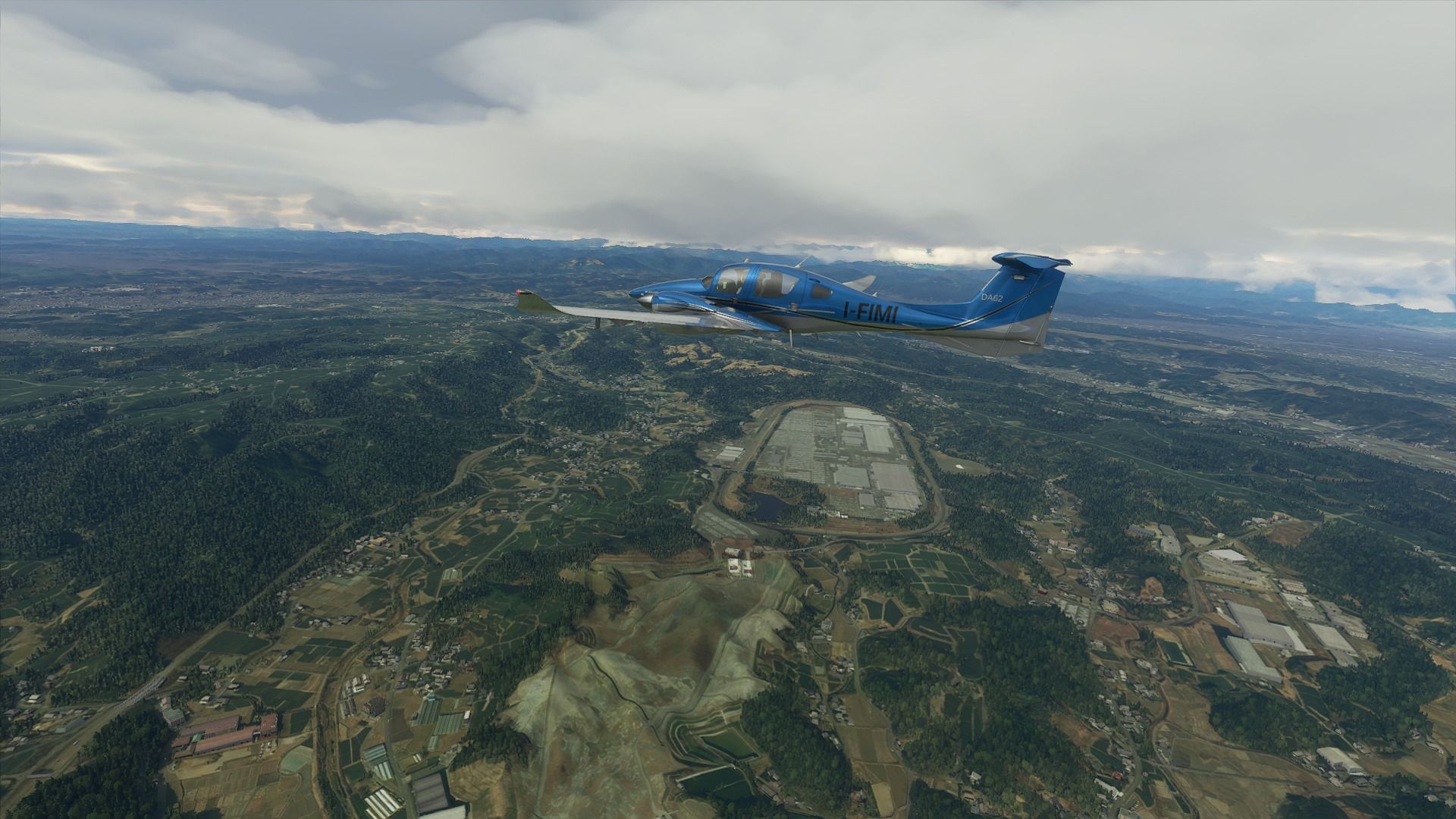
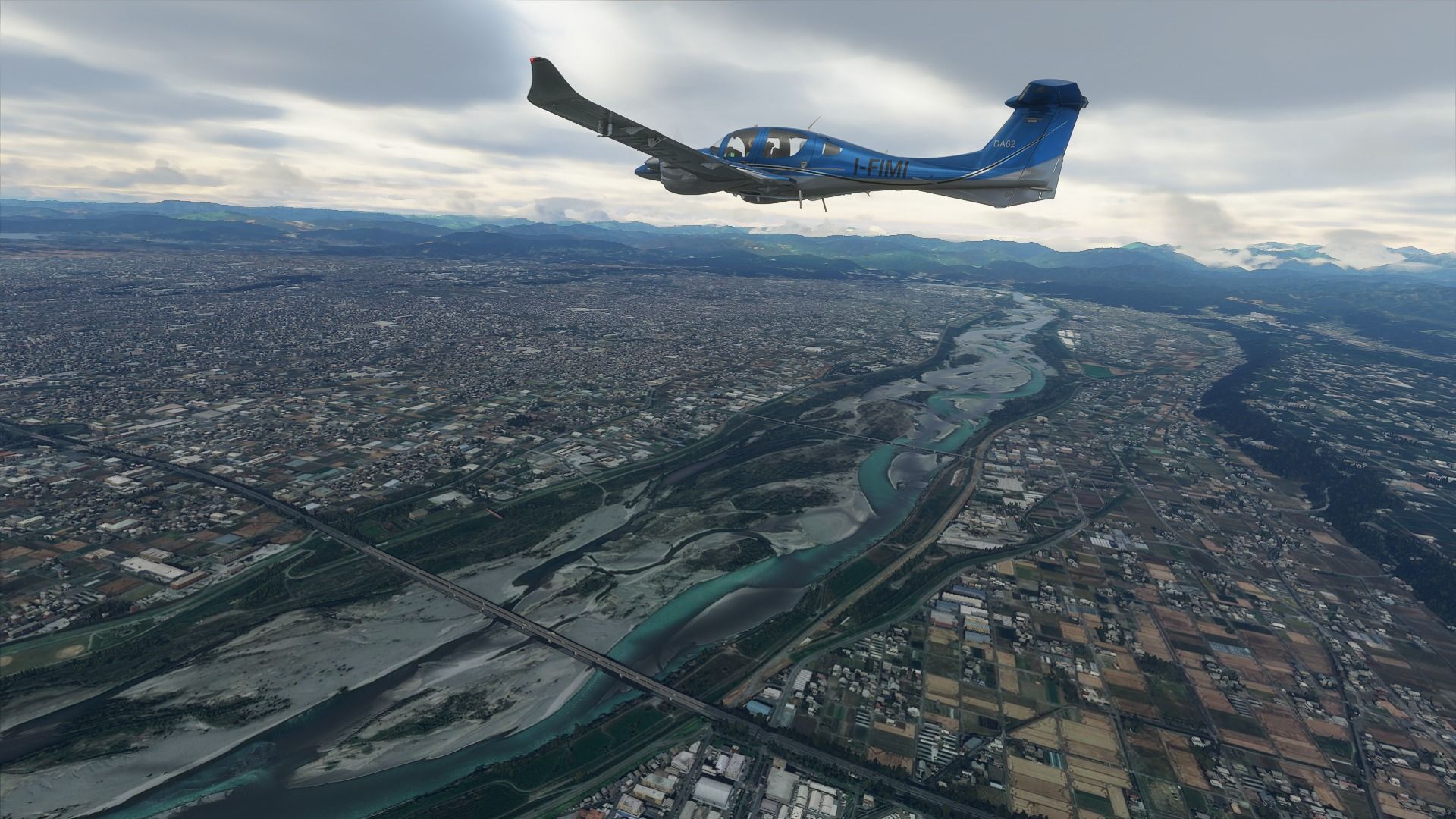
I’ll be starting from Tokyo and then fly approximately southwest touring the country approximately clockwise along the coast, flying inland when warranted, until I get back to Tokyo. Japan is very narrow, so that’s a good way to hit most of the good spots.
So here’s the full gallery which will include all the likely thousands of pictures of the tour.

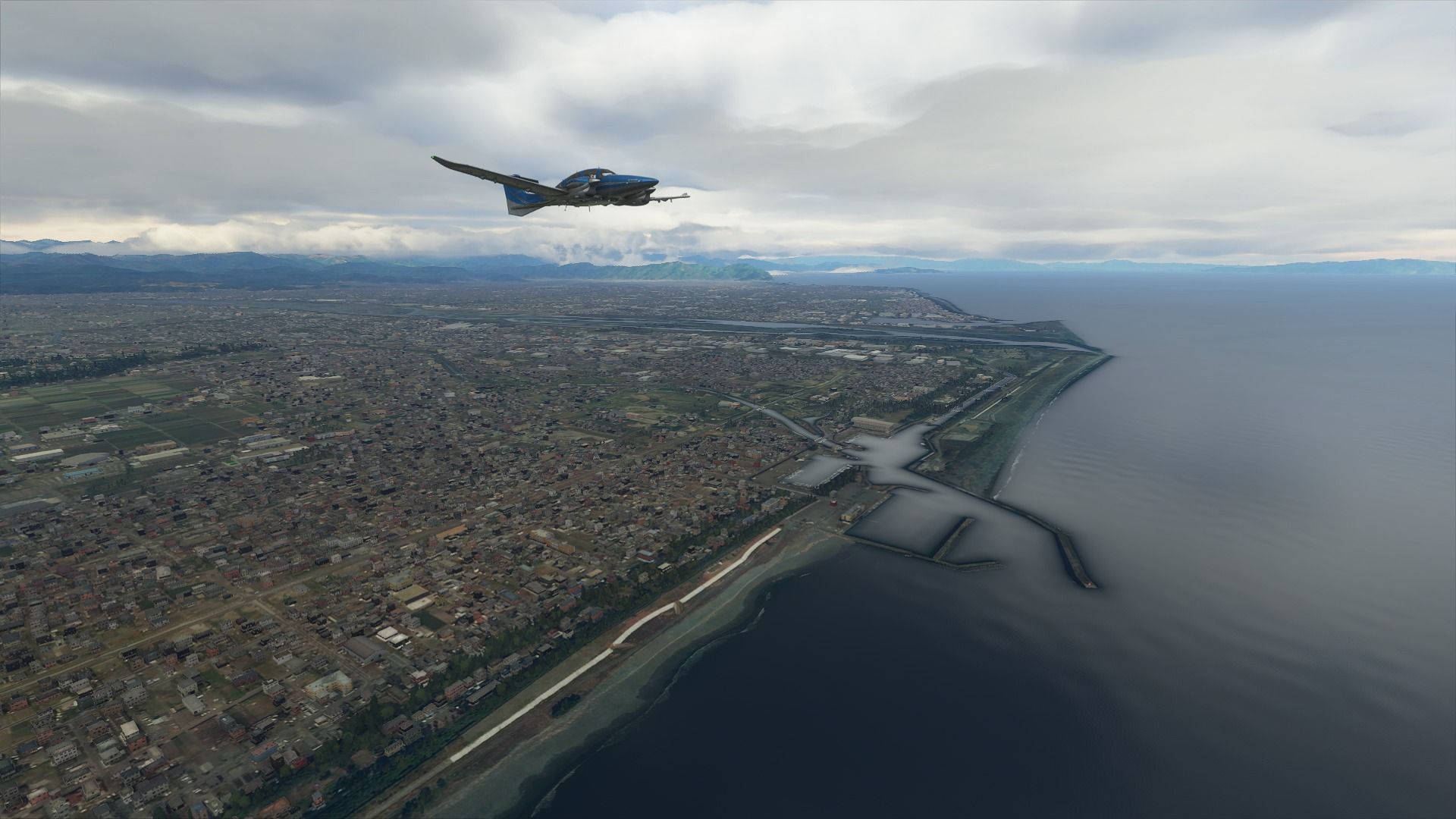
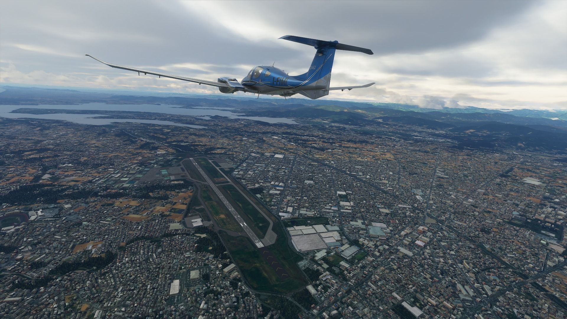
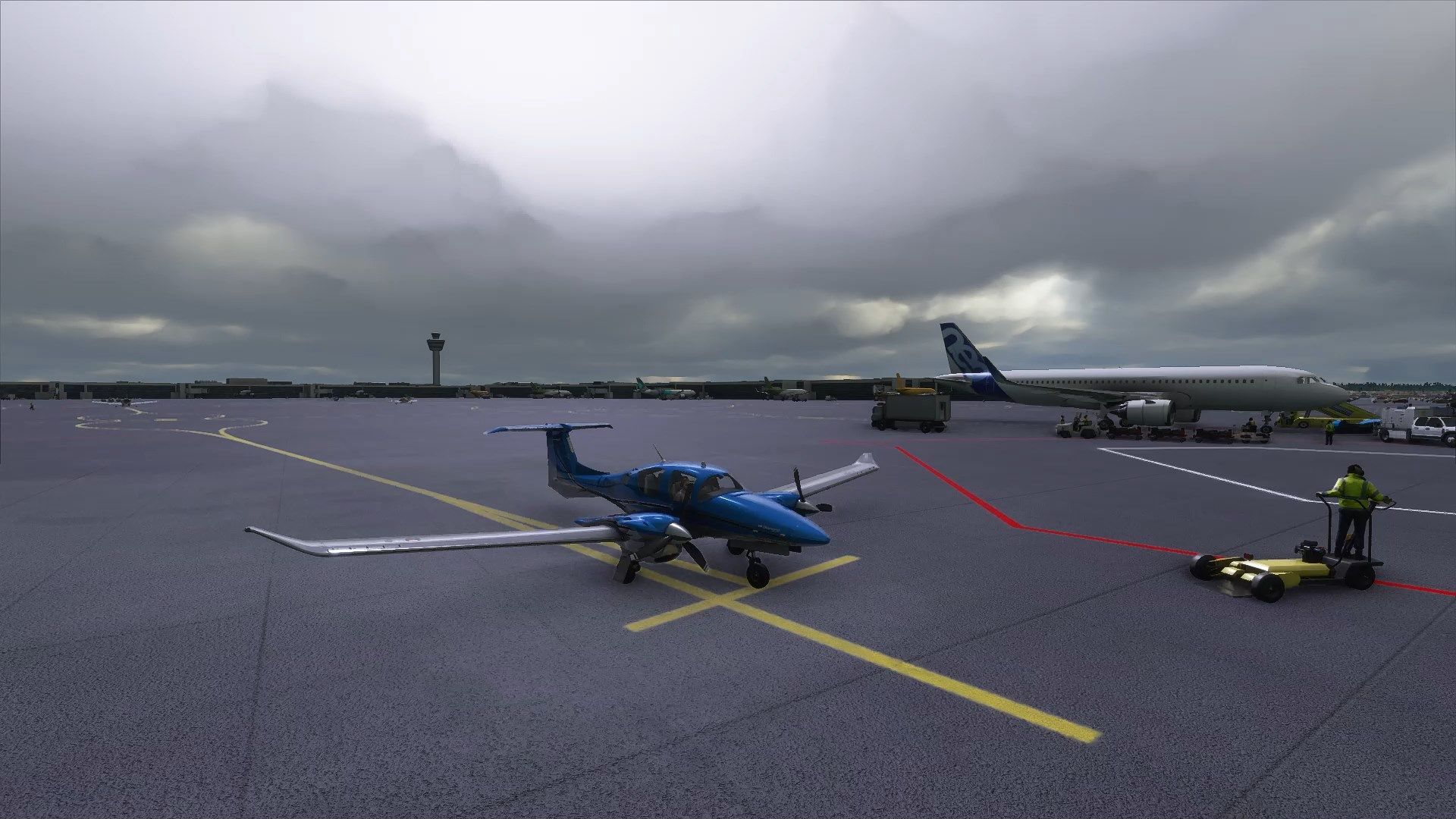
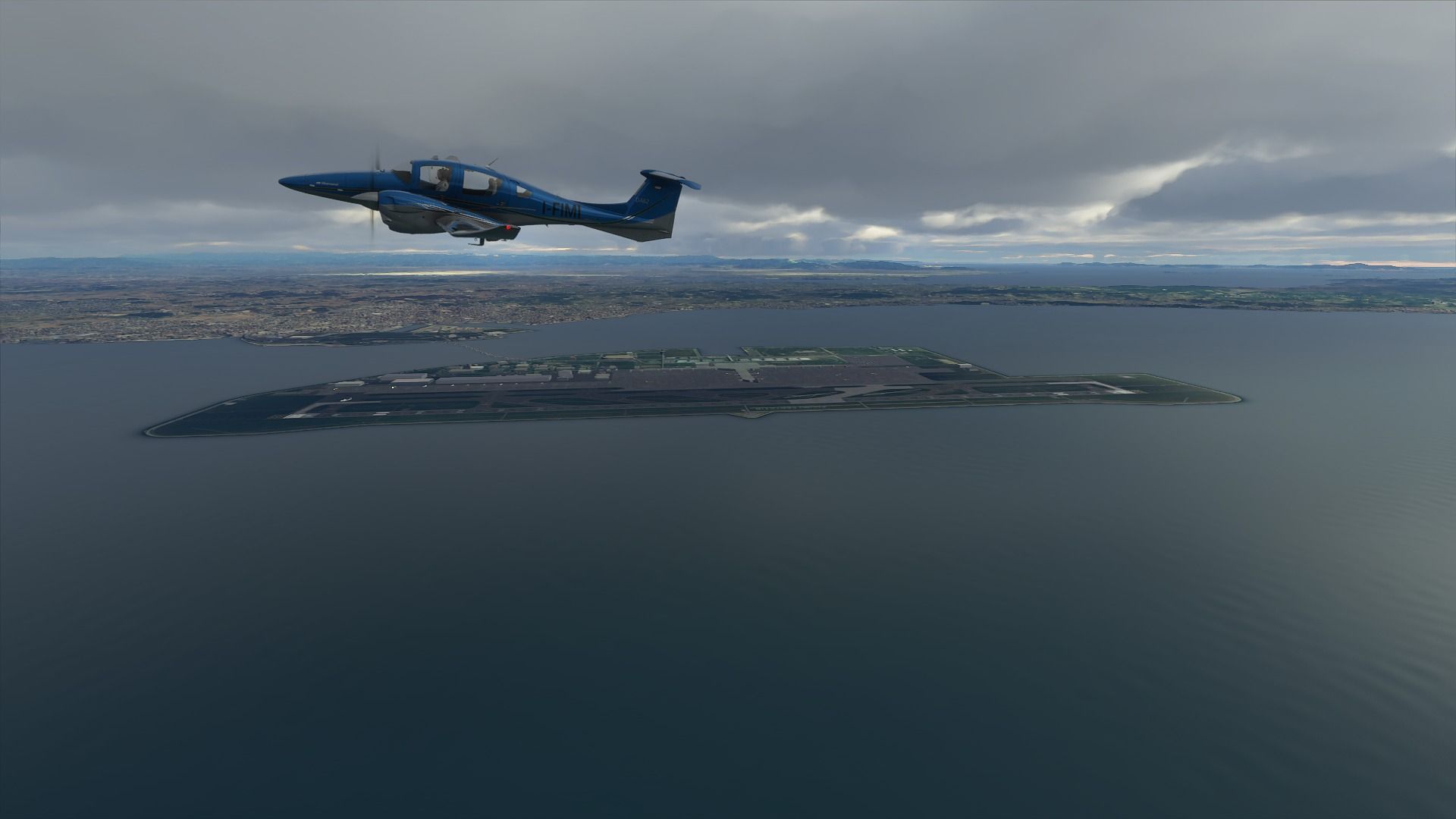
Next is the first leg, from Tokyo (RJTT) to Hachijo-Jima (RJTH). Funnily, this small volcanic island is still formally part of Tokyo prefecture despite being 287 km south of the Japanese capital.
This first post is gonna be screenshot and text-heavy just because there’s a lot more to see and explain in Tokyo (I also added to the default scenery with the new Tokyo Enhanced by SamScene3D which fills in some glaring omissions).
 to Hachijojima...")
This peculiar structure just out of Haneda is the Wind Tower, which is a very fancy ventilation shaft for the Tokyo Bay Aqua-Line highway tunnel that travels under the Tokyo Bay, connecting the Kanagawa prefecture to the Chiba Prefecture (almost 24 km), because Japan is awesome like that.

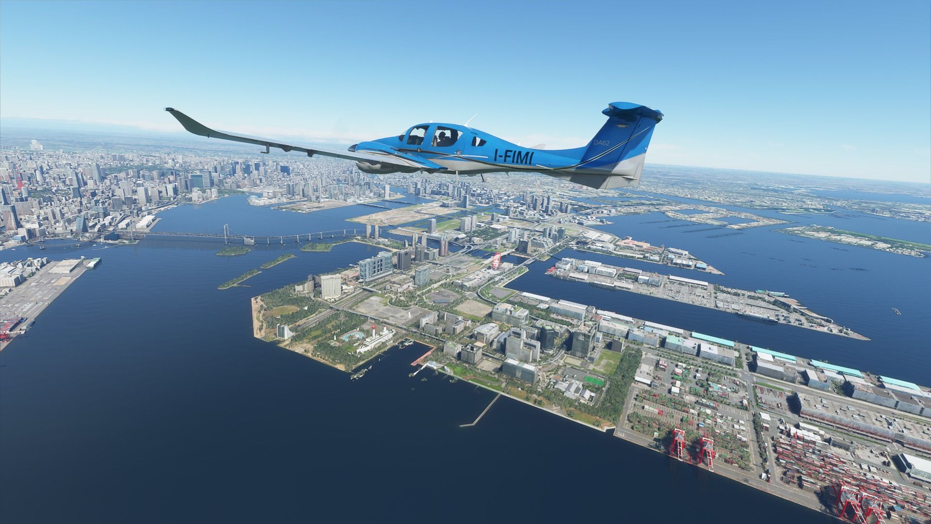
Odaiba is an artificial island and one of the most beloved resort-like areas in Tokyo, connected via subway, monorail, and the Rainbow Bridge, home to fancy malls, a beach, the famous Gundam statue, a reprodìuction of the Statue of Liberty, lovely fireworks shows, and simply too many attractions to list.
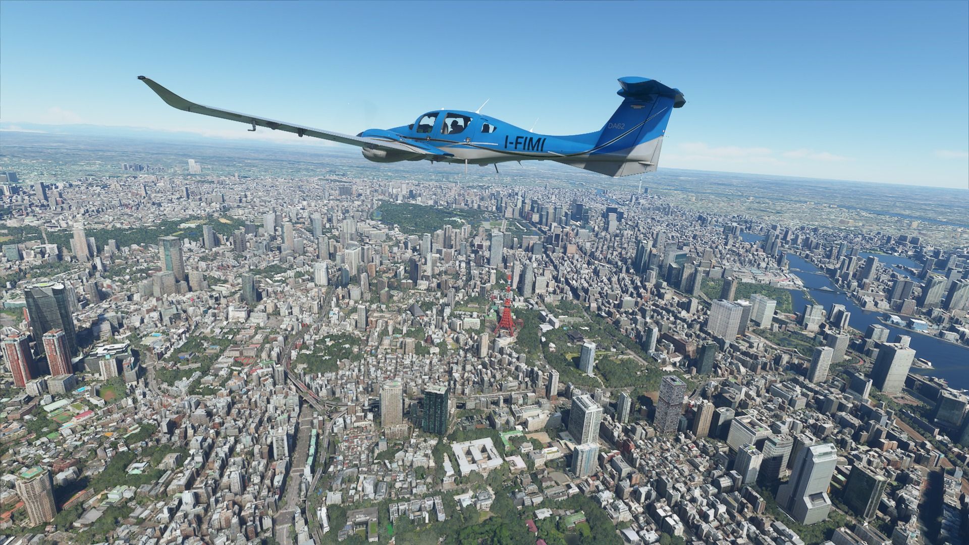
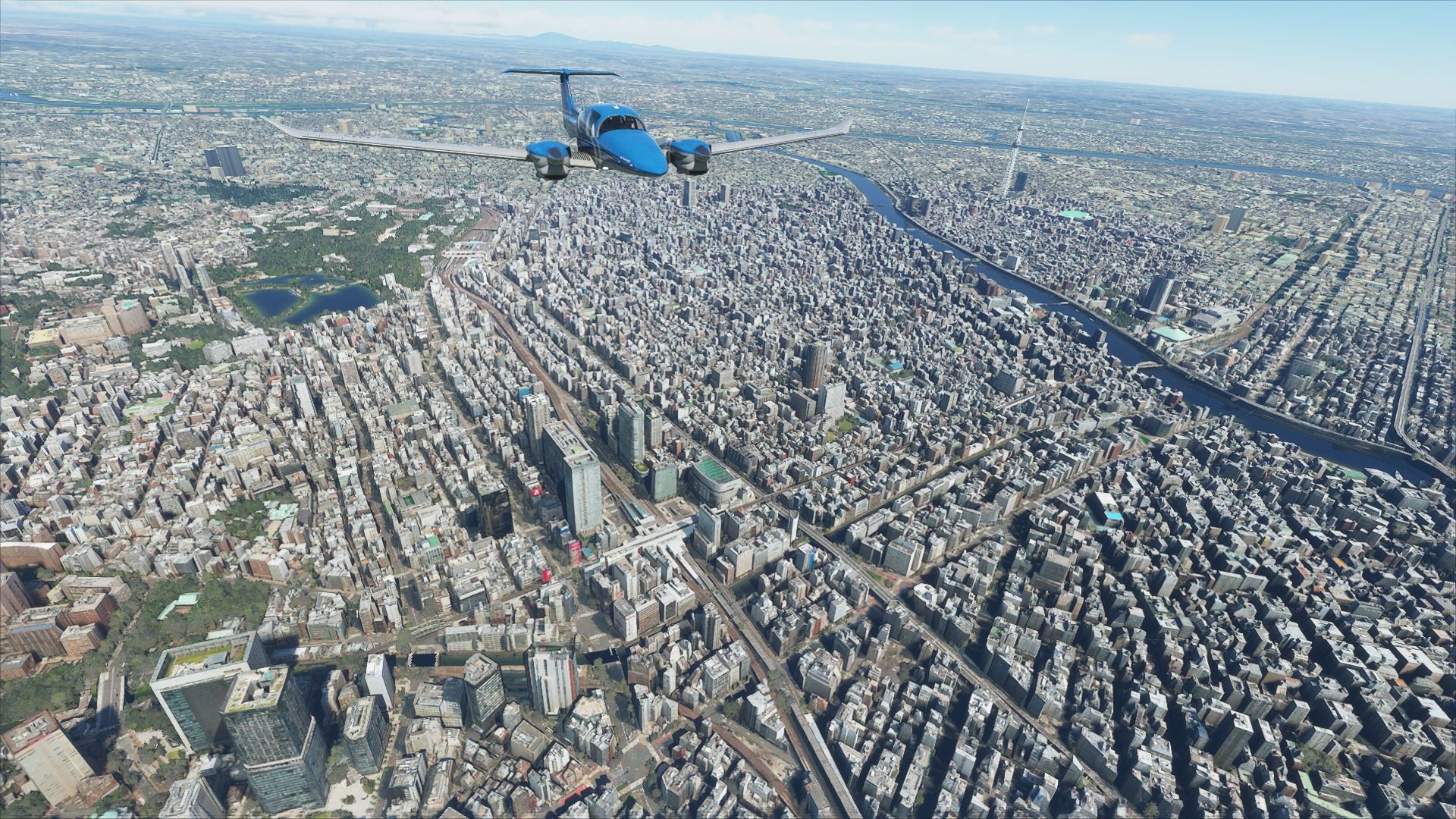
Here’s the Tower of Tokyo. It looks like a colorful Tour Eiffel, but it’s actually a giant radio antenna.
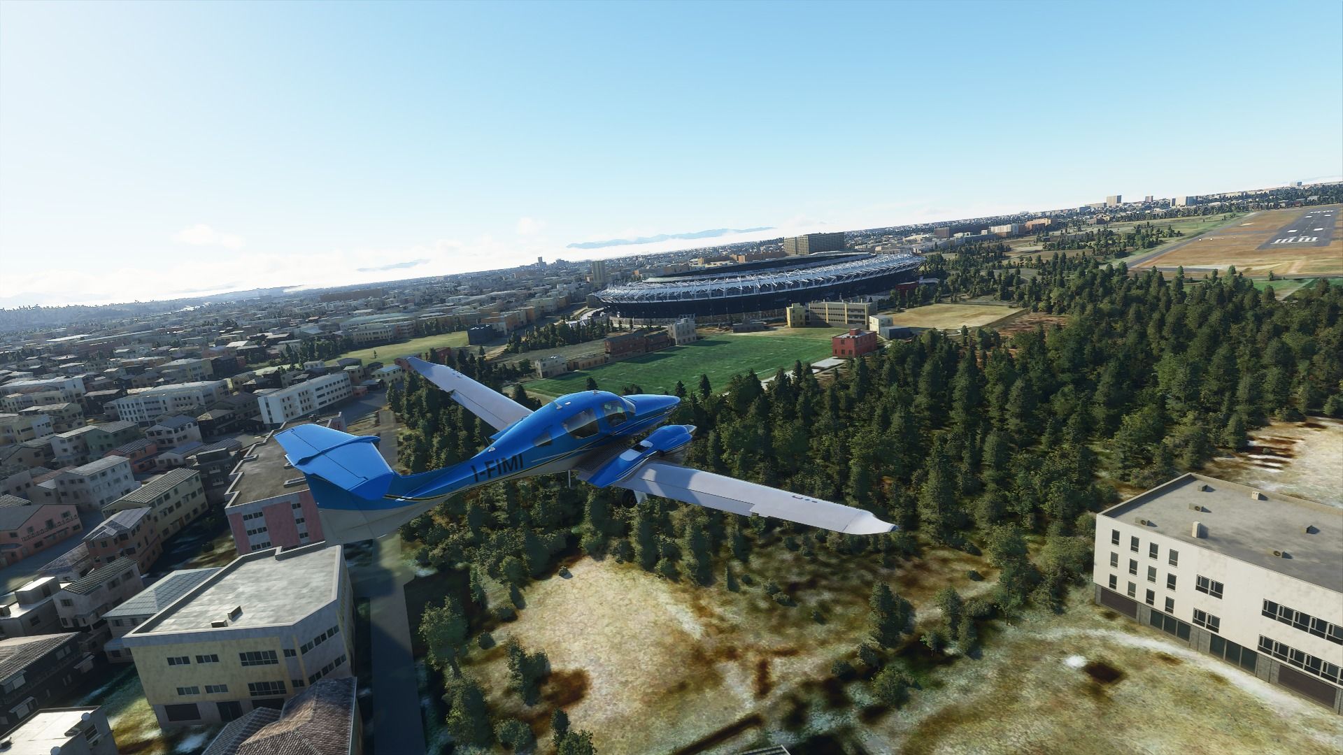
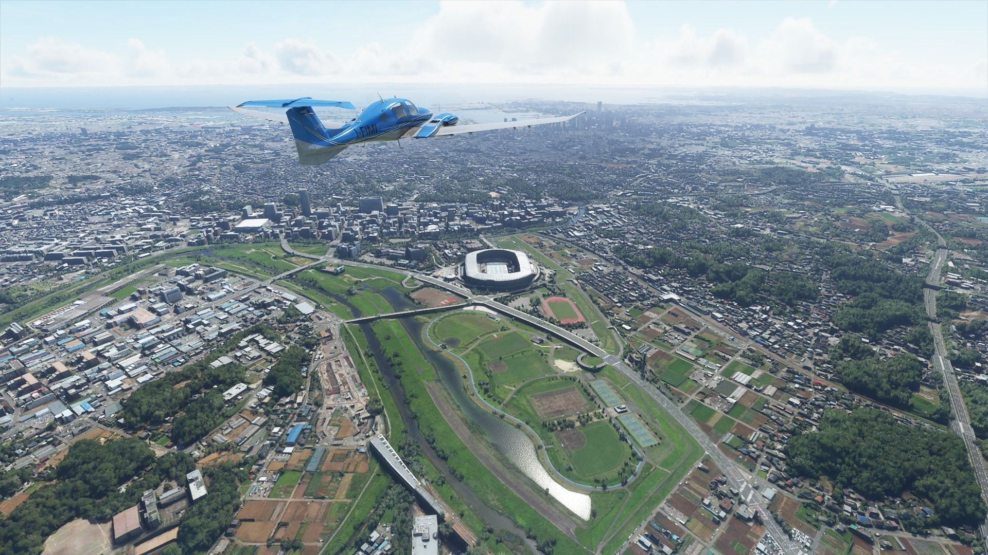
This is Yoyogi park between the Shinjuku and Shibuya wards, it’s a massive, massive park right in the middle of the city where people love to picnic in the summer and relax all year-round.
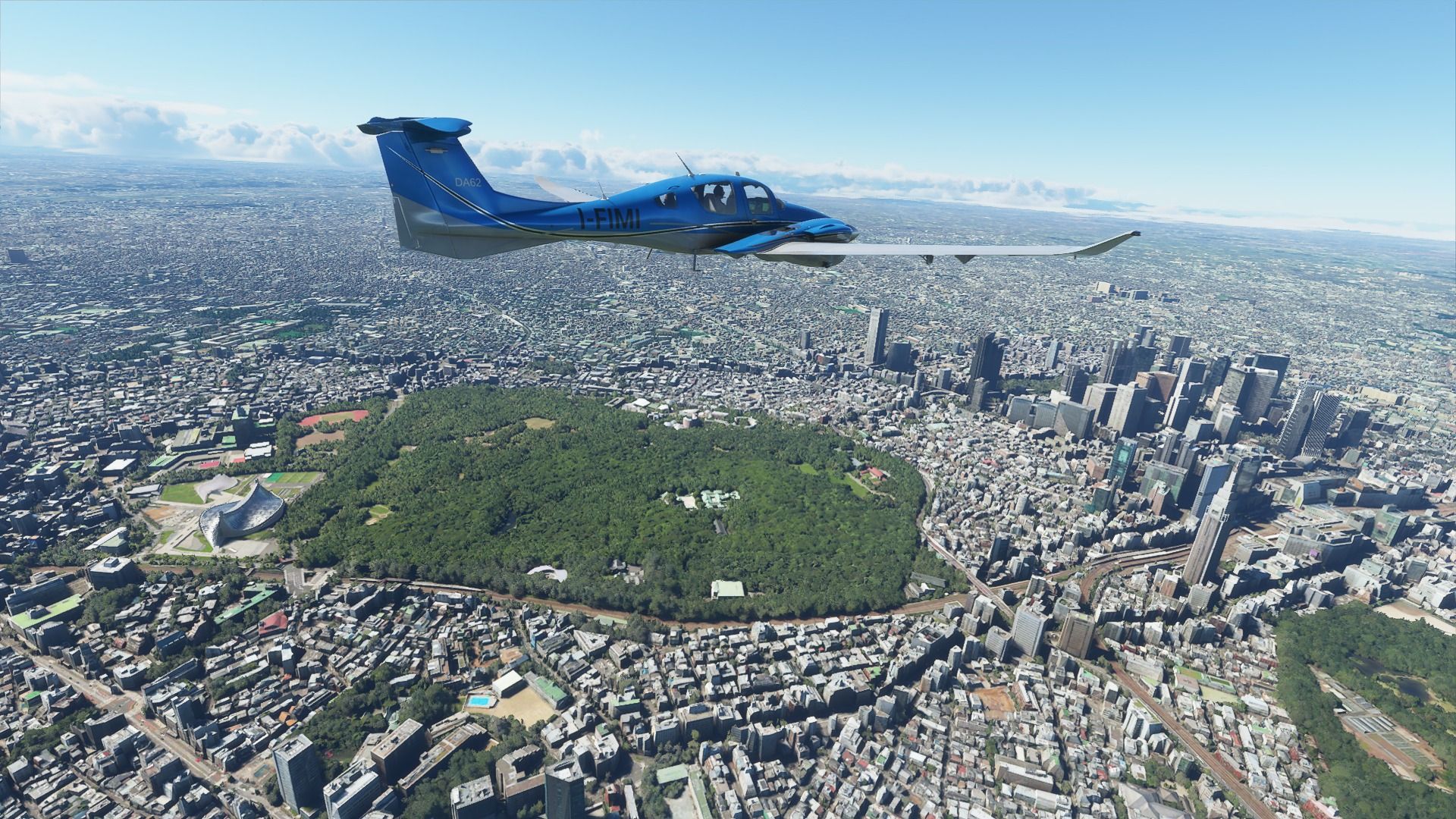
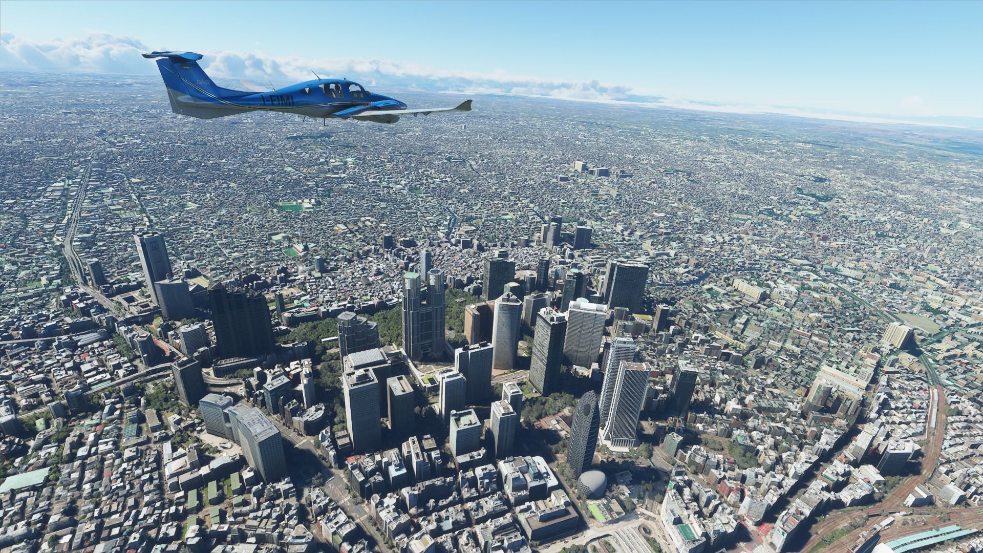
Here’s the Shinjuku business district, dominated by the twin towers of the Tokyo Metropolitan Government Offices. Incidentally, the observation deck here is the best free way to see Tokyo from above instead of paying crazy-priced tickets to climb Tokyo Tower or Skytree.
The business hotel where I stayed from years before moving to the Ikebukuro areas is right there beyond the small but nice Shinjuku Central Park.
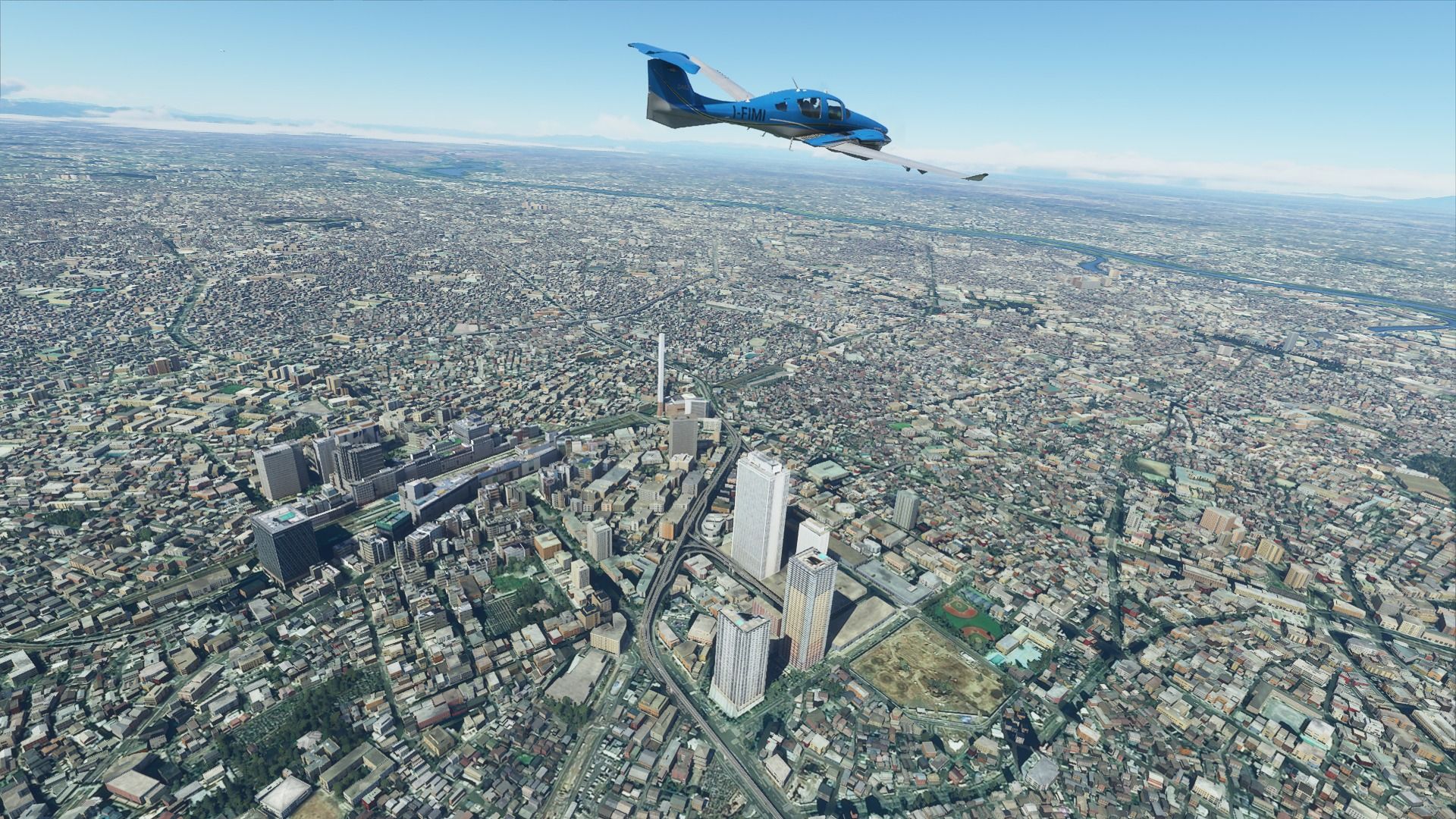
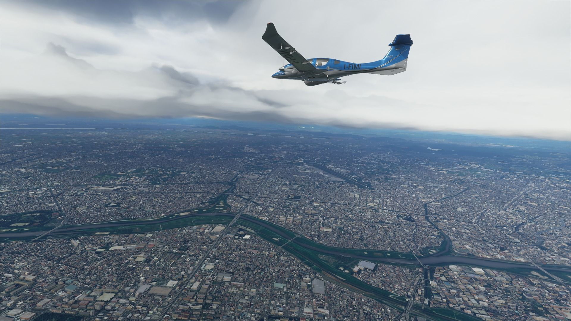
Speaking of the Ikebukuro area, here it is. It’s actually just beyond the photogrammetry, but luckily SamScene3D added most of its relevant landmarks. This includes the major train stations which is used a lot by people from the drab suburban Saitama to come have fun in Tokyo, the towers of the Sunshine City mall (which includes a lovely acquarium) and plenty of places to have fun. It’s funny because on one side of the station it’s a nice commercial area, and on the other side there’s a slightly seedier “red light” district that goes from tons of eateries and izakaya (the Japanese version of a pub, but I’m oversimplifying) to you know what.
Incidentally, the thin tower isn’t an autogen mistake but one of several Incineration Plants in Tokyo.
I stay here when I’m in Tokyo, and I absolutely love it.
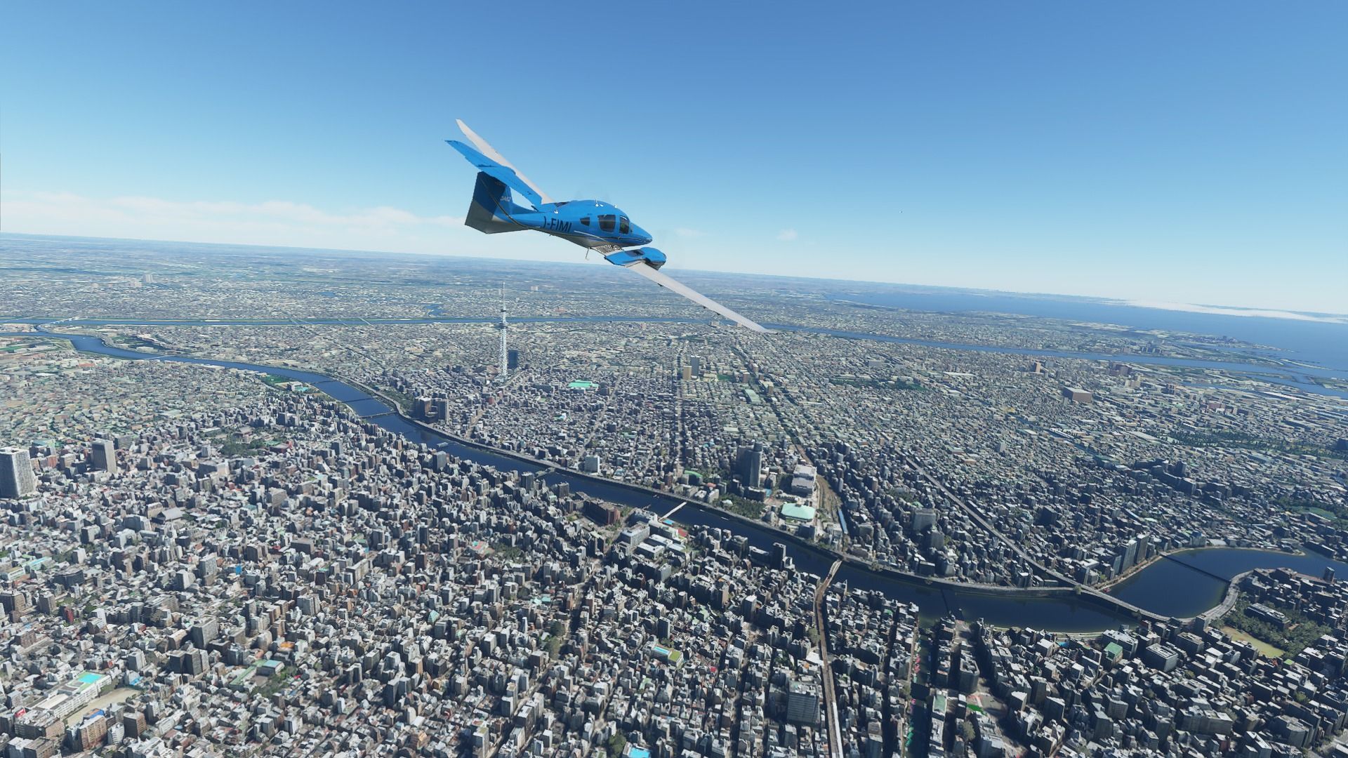
Next is Skytree, the tallest structure in Japan and the second in the world (634 m). Its tickets are prohibitively pricey (over $30 if you wanna see it all) and it’s basically a tourist trap, but the view is nice. On the other side of the Sumida River there’s the traditional district of Asakusa, home of the famous Sensouji temple and another giant (but lovely) tourist trap. You can also see the Asahi Beer headquarters which is a skyscraper literally shaped like a golden beer mug with foam and all with a second structure with the much-reviled giant “golden Flame” sculpture on top, which many identify as a golden ■■■■.
Incidentally, Japan loves ■■■■■. I’m not joking. There’s a funny adoration for cute ■■■■ imagery and there’s even a dedicated museum in Odaiba.
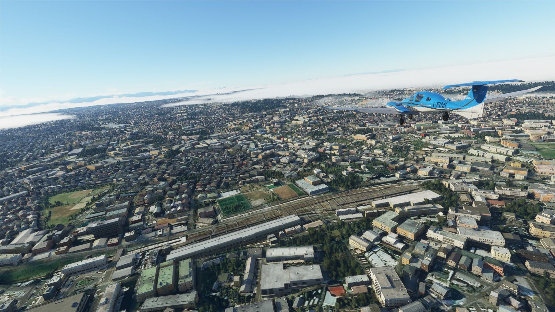
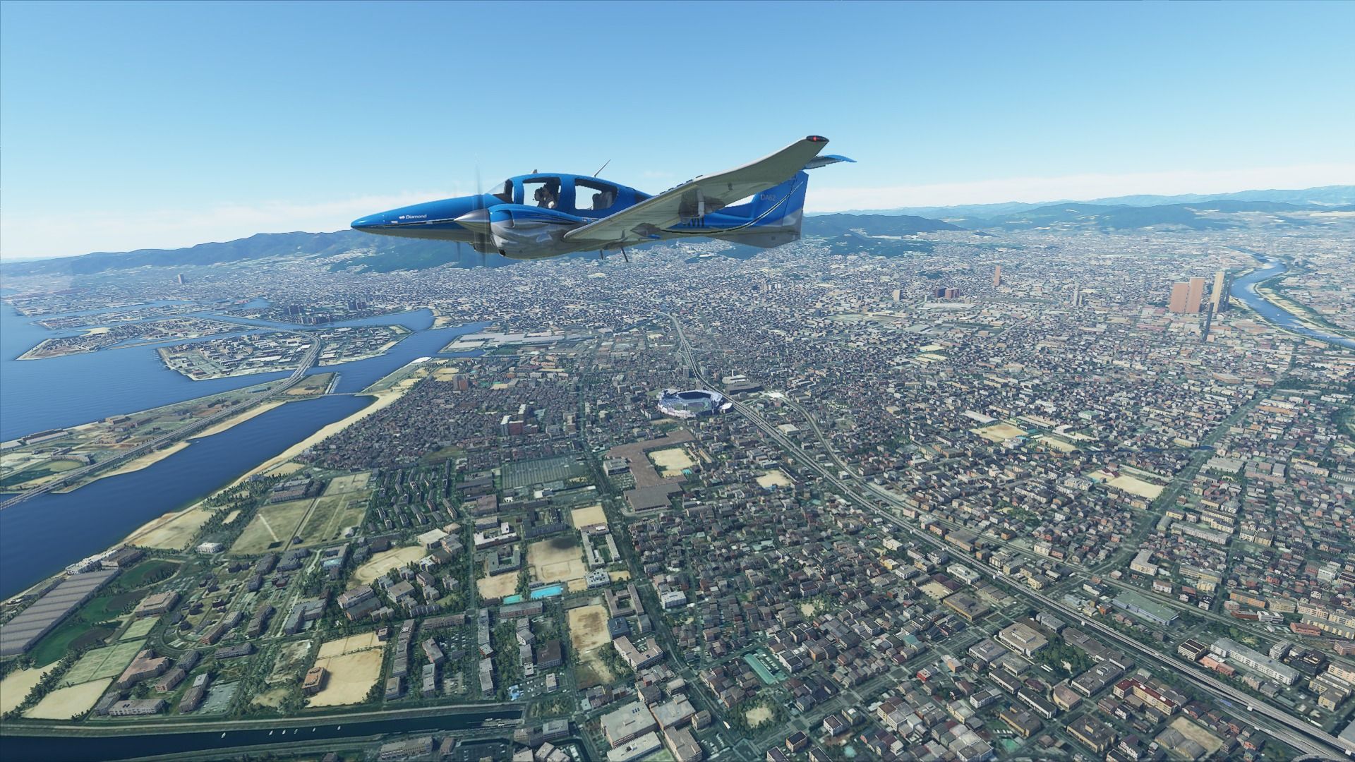
Flying over Akihabara here. It’s the mecca of manga, anime, video games, electronics, and all things Otaku. It’s also a great place to eat and find free wi-fi. Its billboards are how I found out that the photogrammetry is from September 2014. There’s an obvious Destiny ad that was up for that month only. I was there.
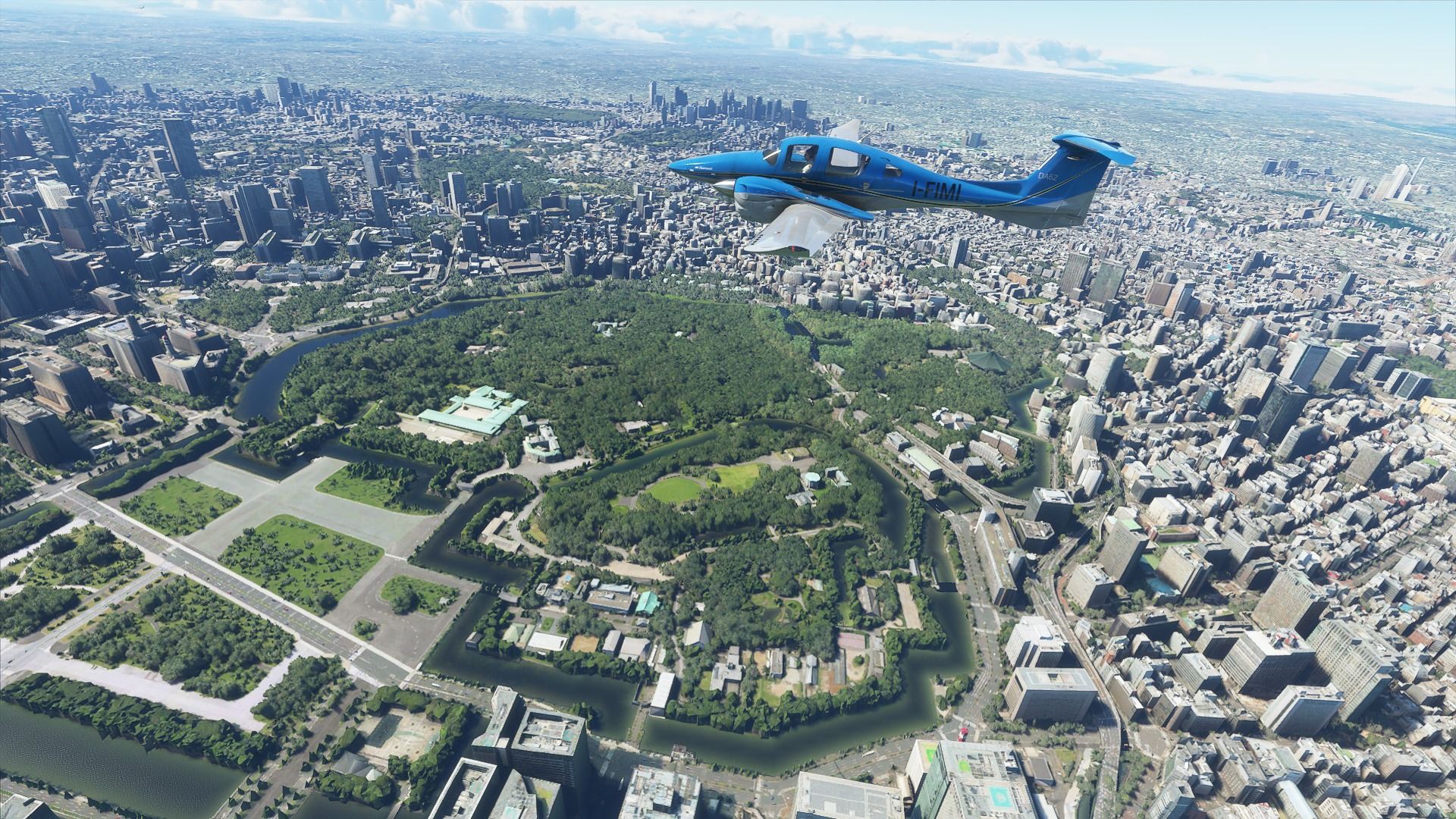
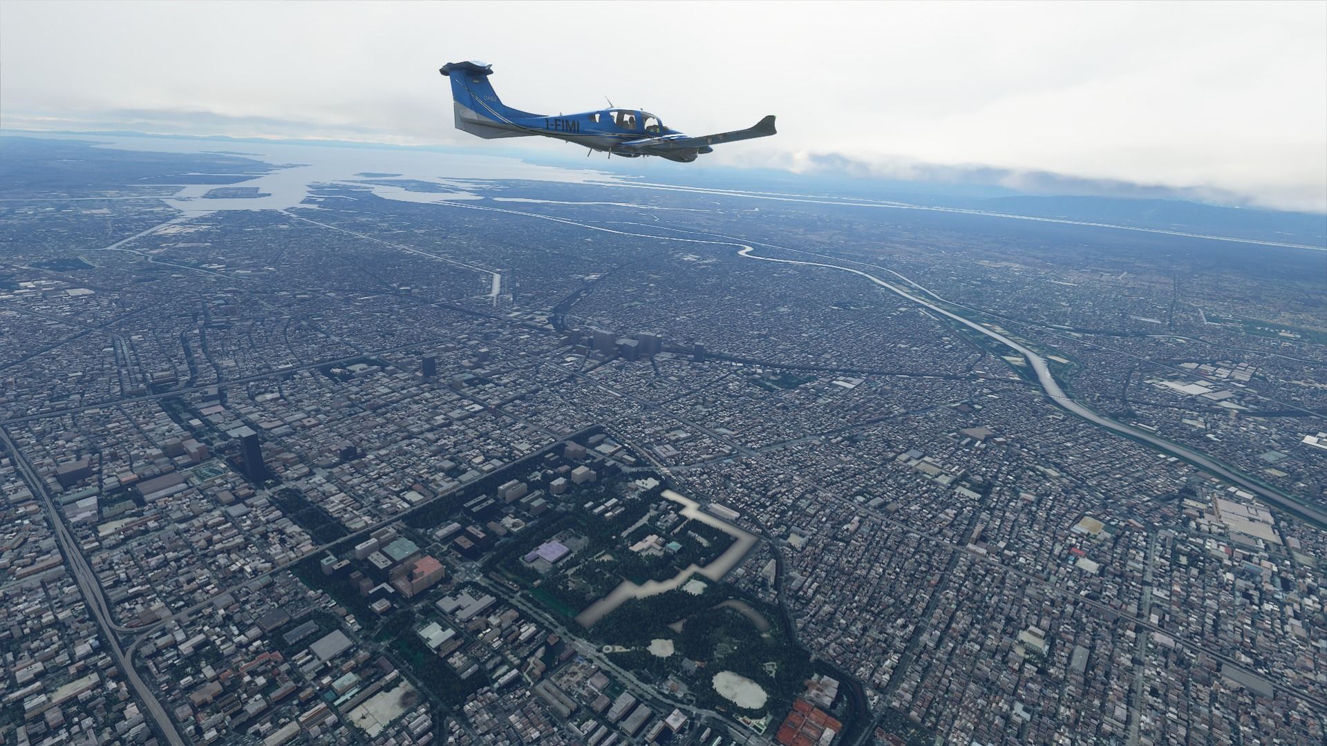
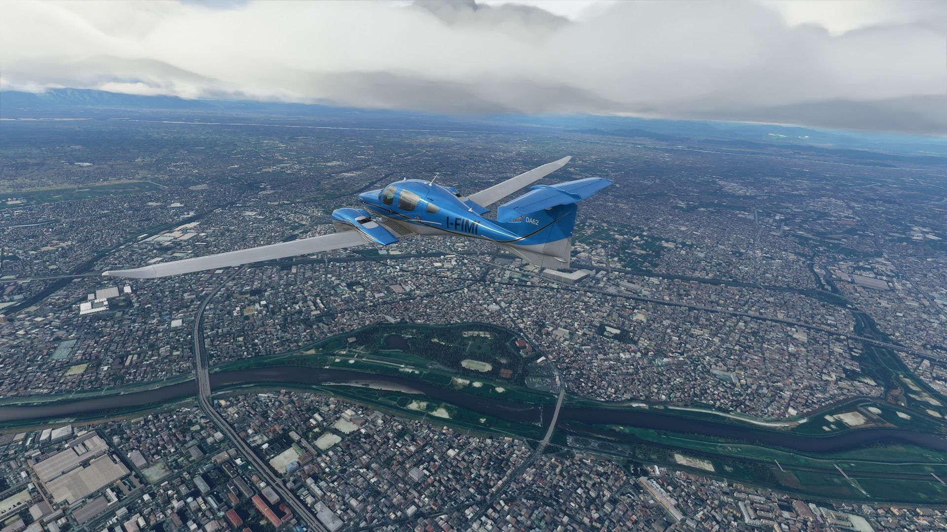
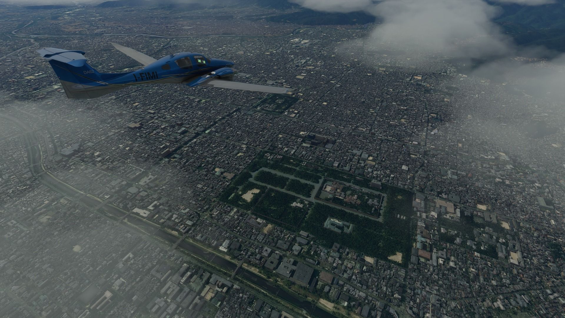
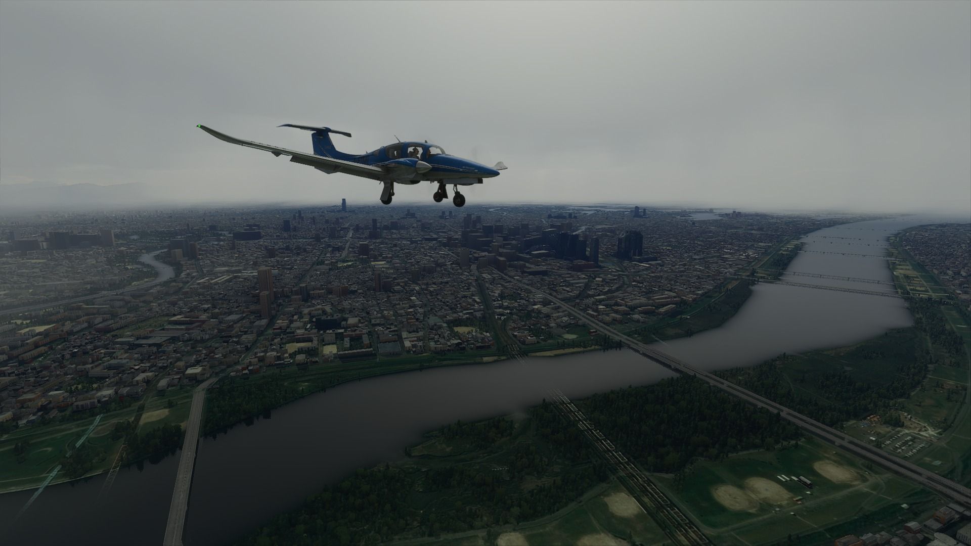
Next is the imperial palace and its gardens. You can actually book a free tour to see some of it and it’s quite nice. The area around the moat is Tokyo’s favorite jogging place. I go sweat there quite a lot. The whole perimeters is cherry trees, so it becomes absolutely stunning in the spring.
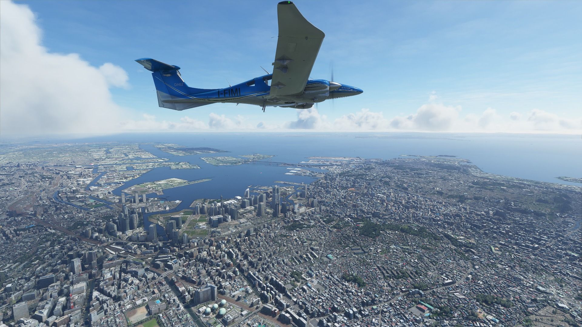
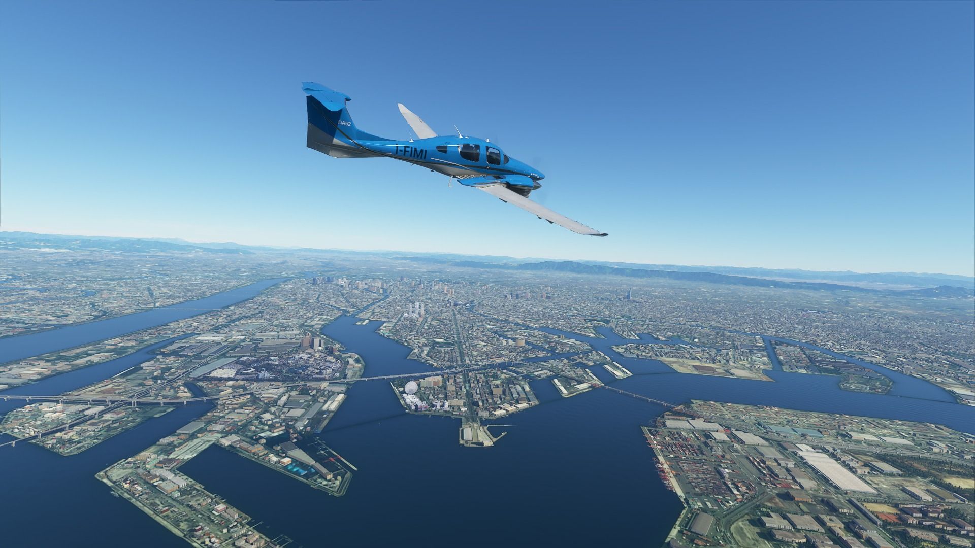
The Shinagawa area and its massive station. Home of a famous aquarium, great places to eat, and a lot of game developers like PlayStation, Sega, and Bandai Namco.

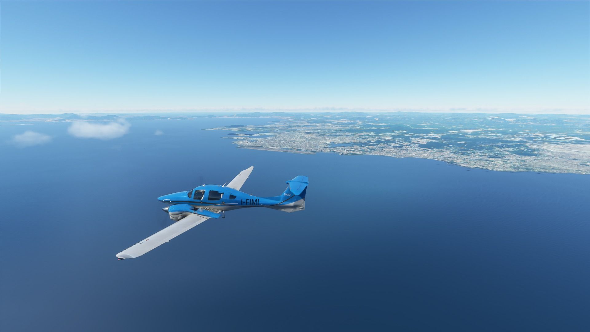
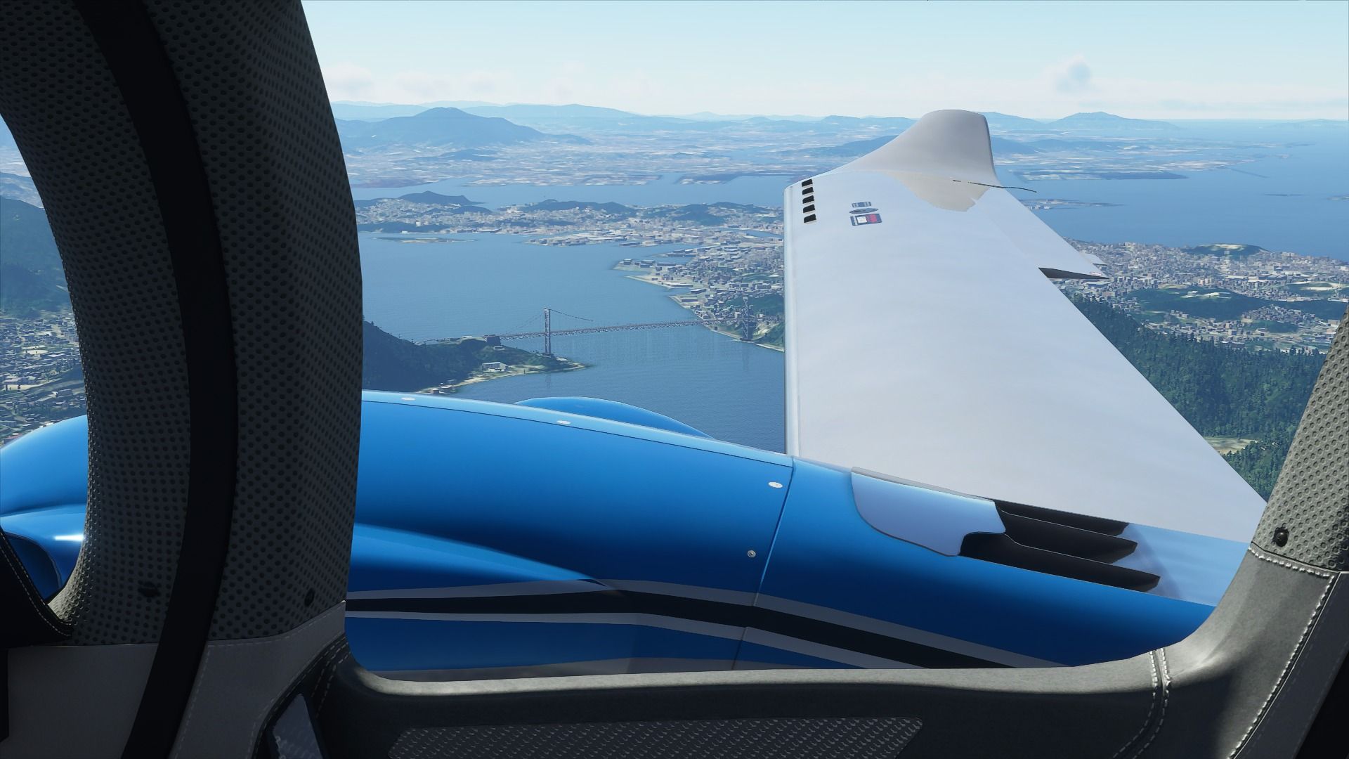
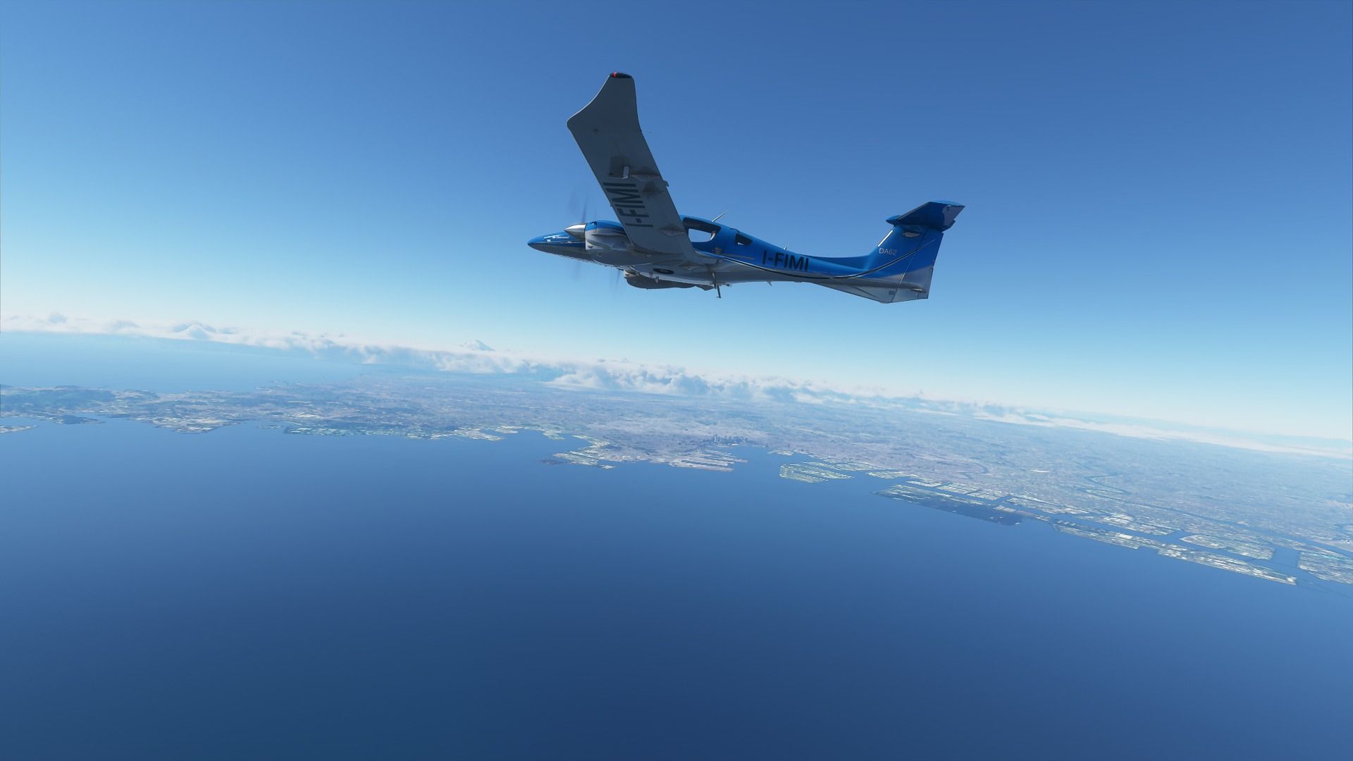
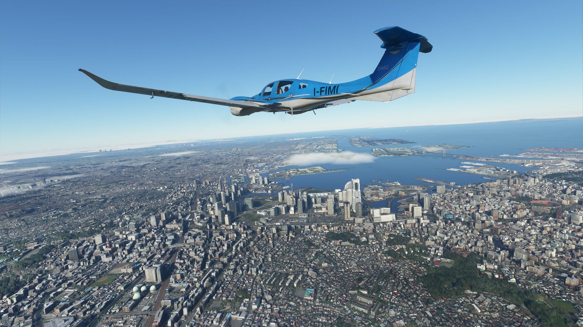
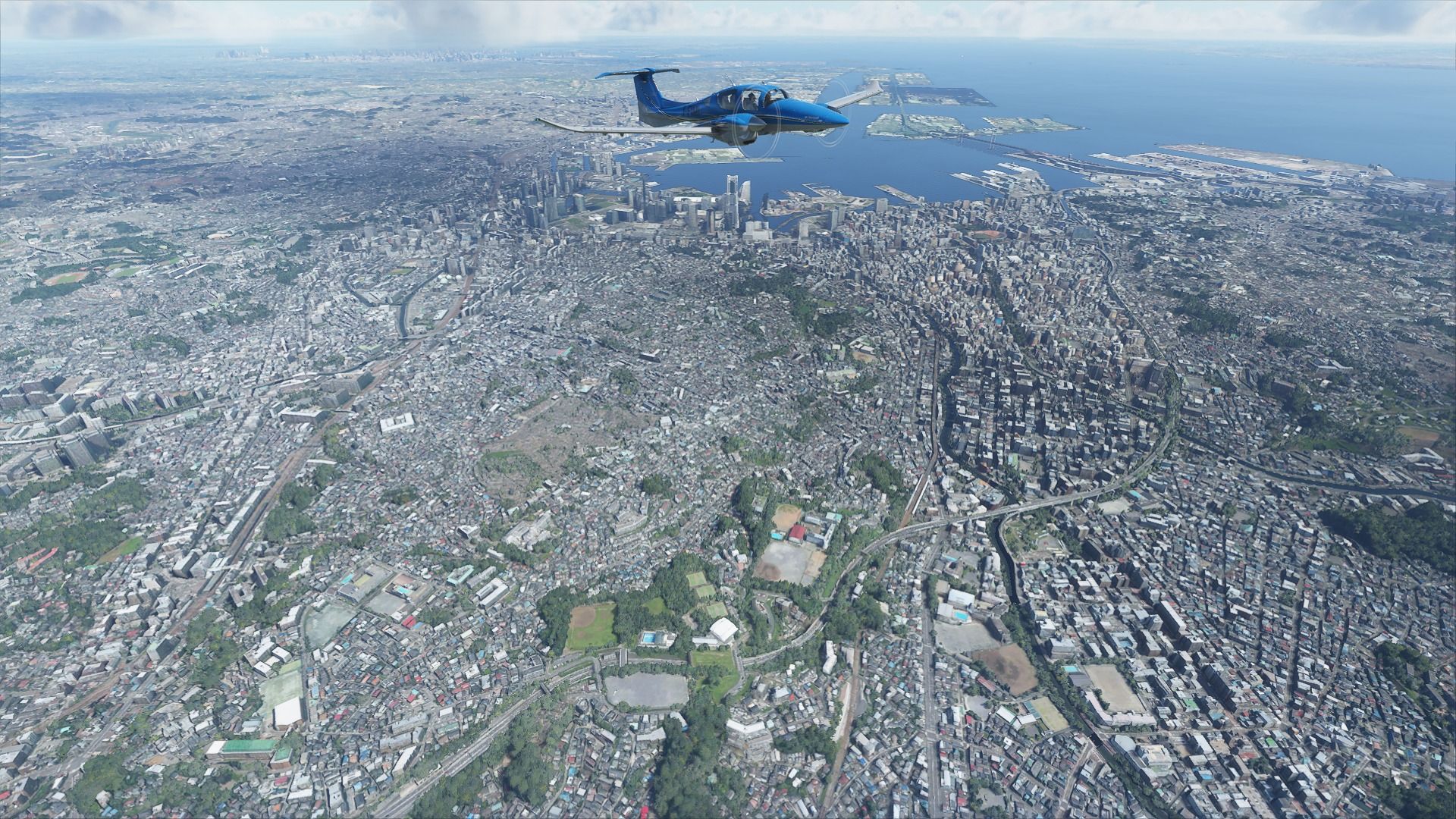
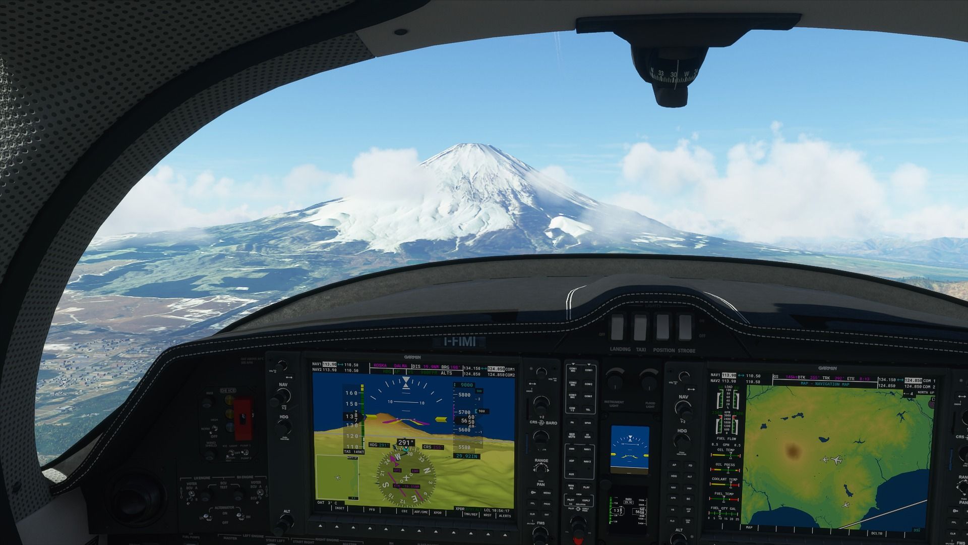
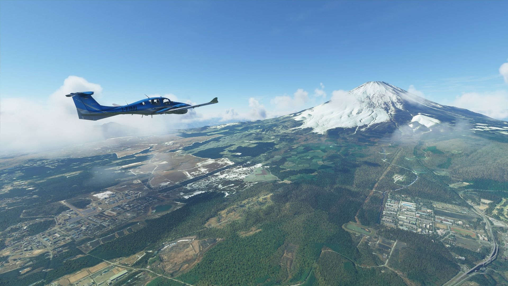
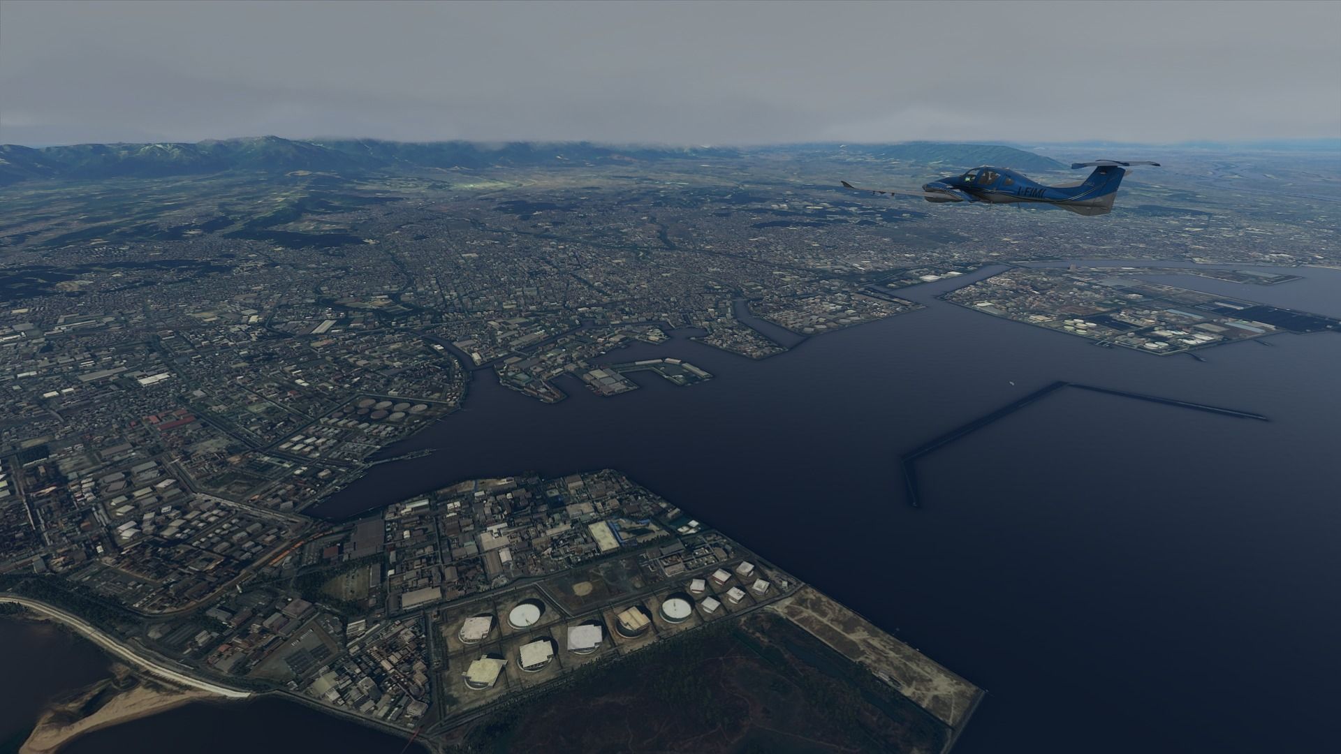
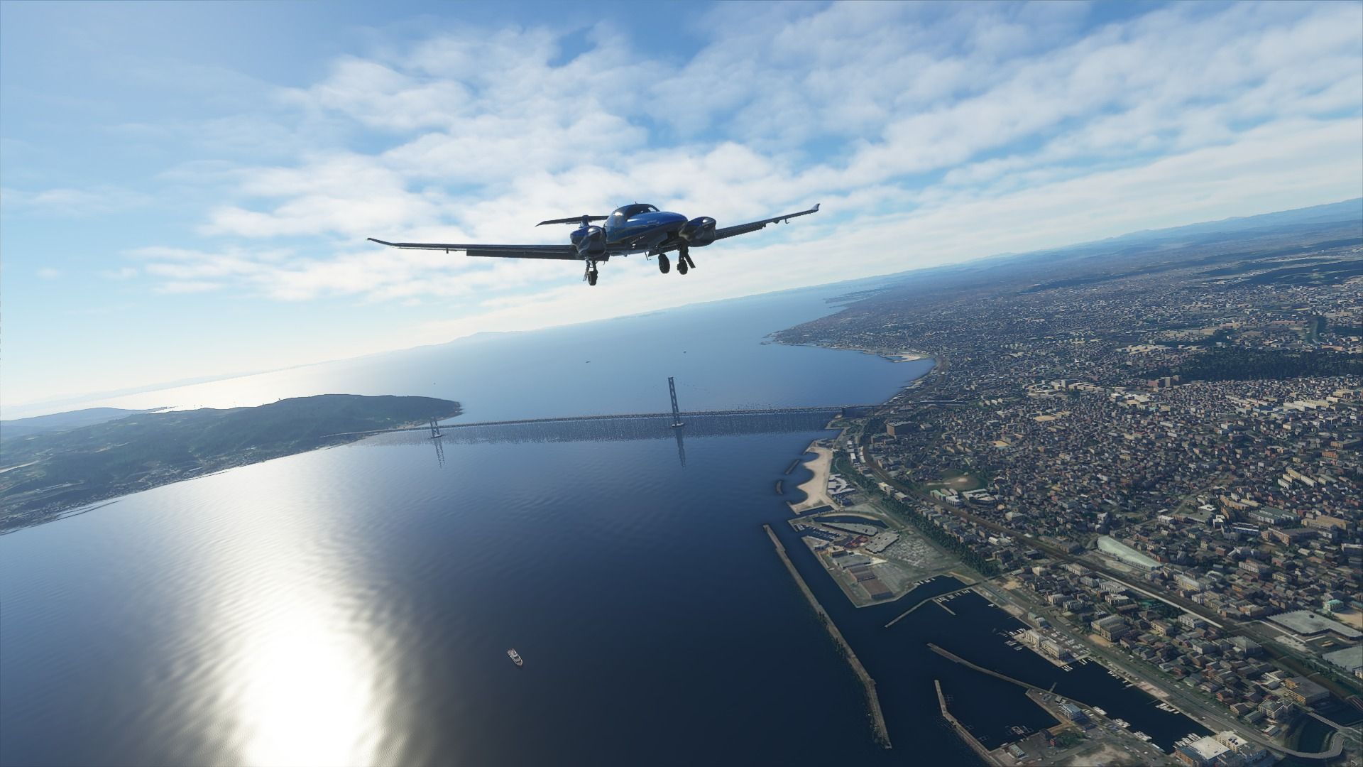
Out to sea, a nice view of Mount Fuji in the distance with the skyline of Yokohama in the foreground, we’ll be back here in the next leg.
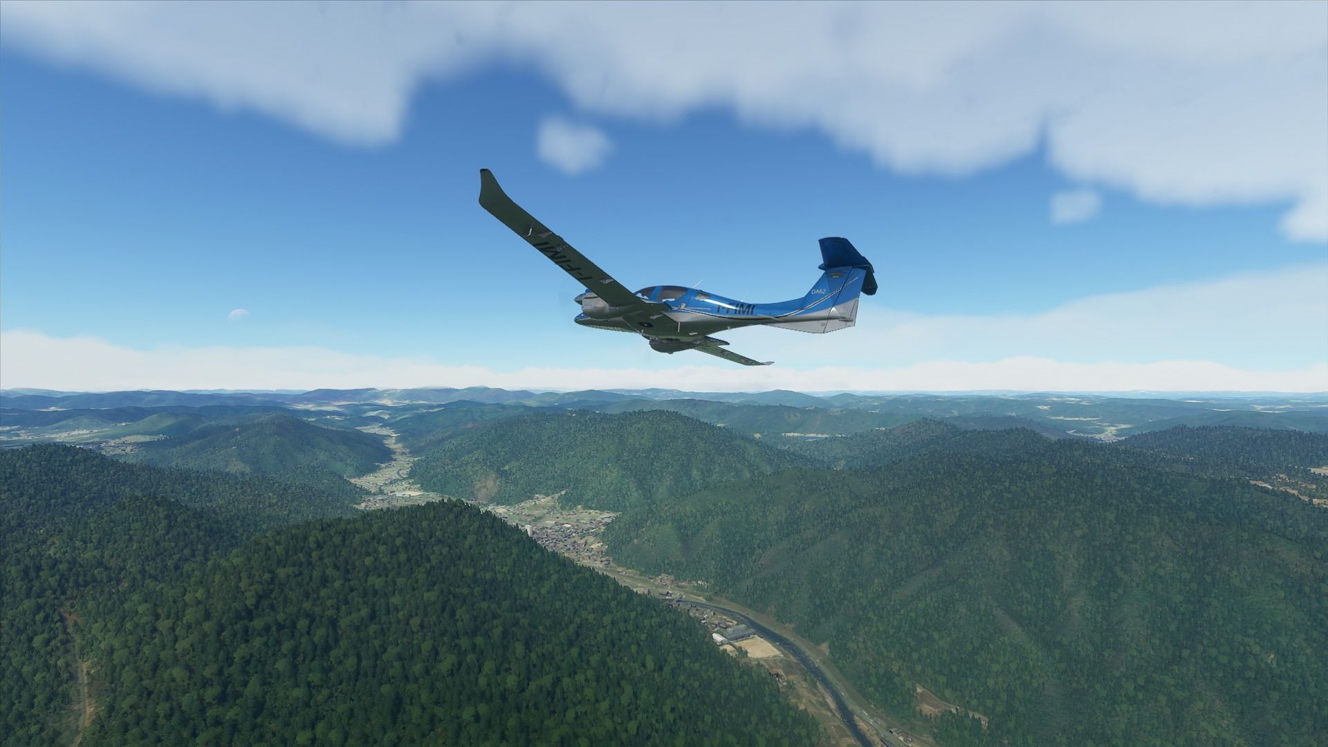
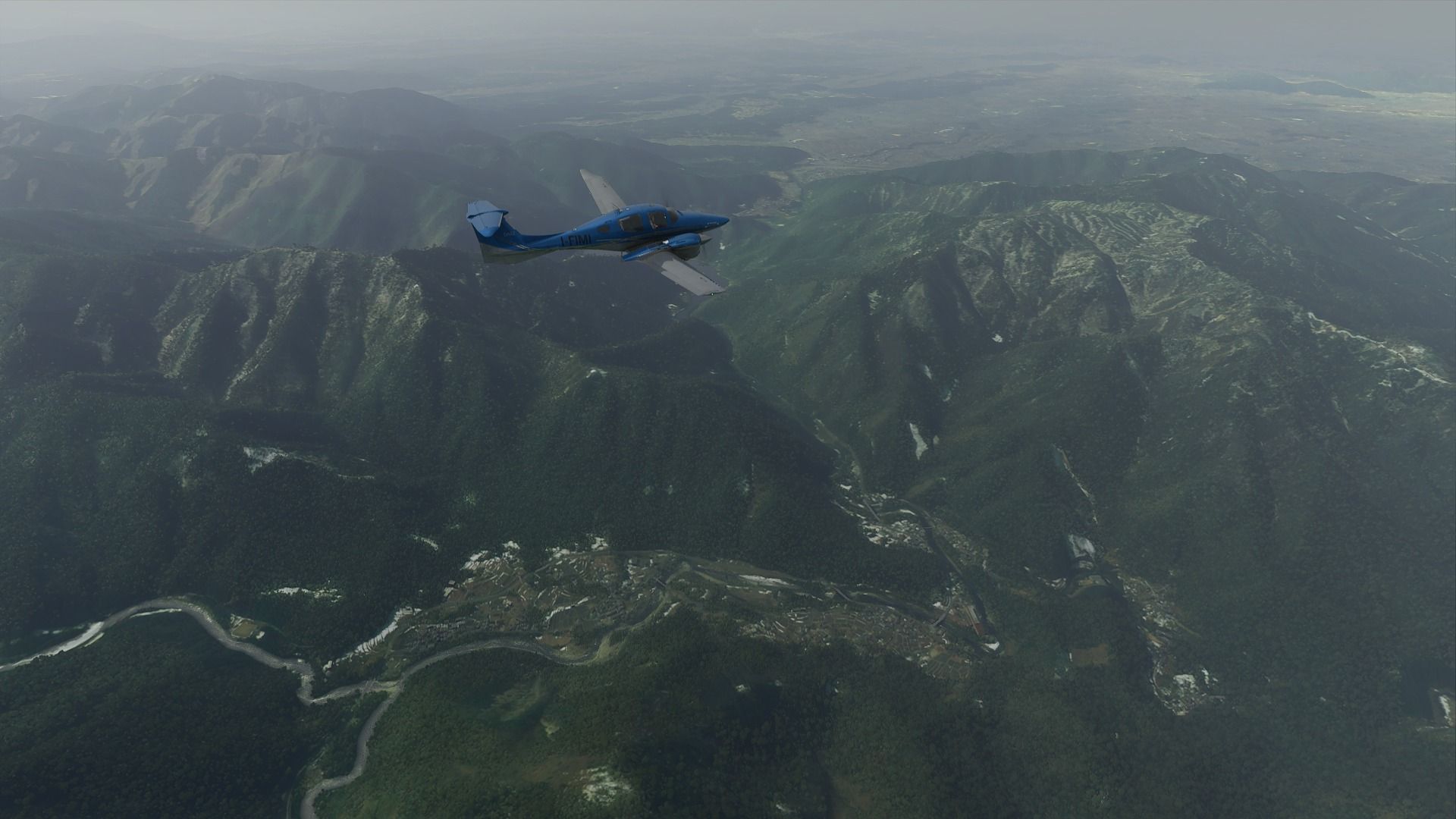
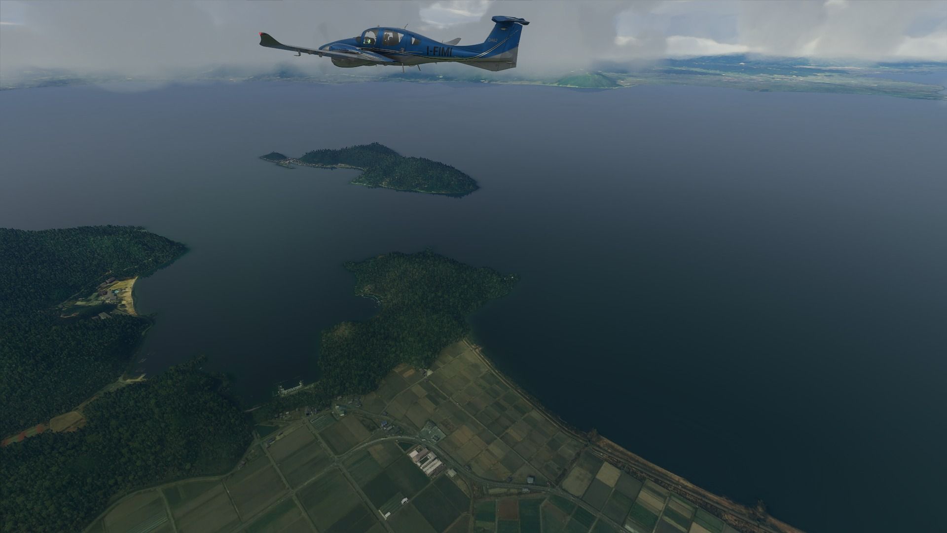
Izu-Ooshima is the closest of the archipelago of volcanic islands out of Tokyo. The top is burnt crispy because the volcano (Mount Mihara) is still very much active. One of the latest eruptions in 1986 and the following seismic activity forced 12,000 people (the whole population) to evacuate the island.
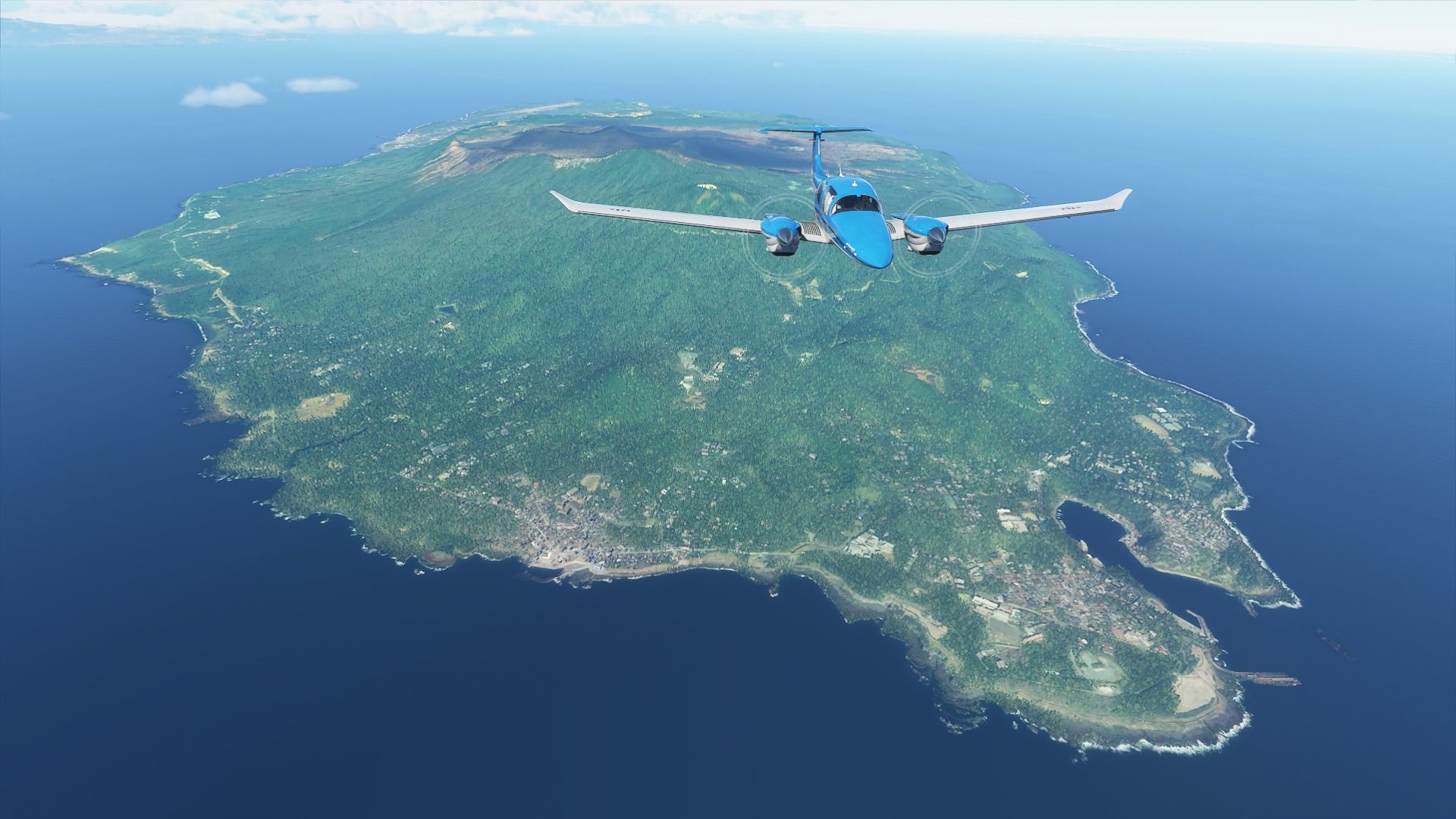
Next is Miyake-jima, dominated by the spectacular Mount Oyama. Its beauty is deceptive because it’s also still quite active.
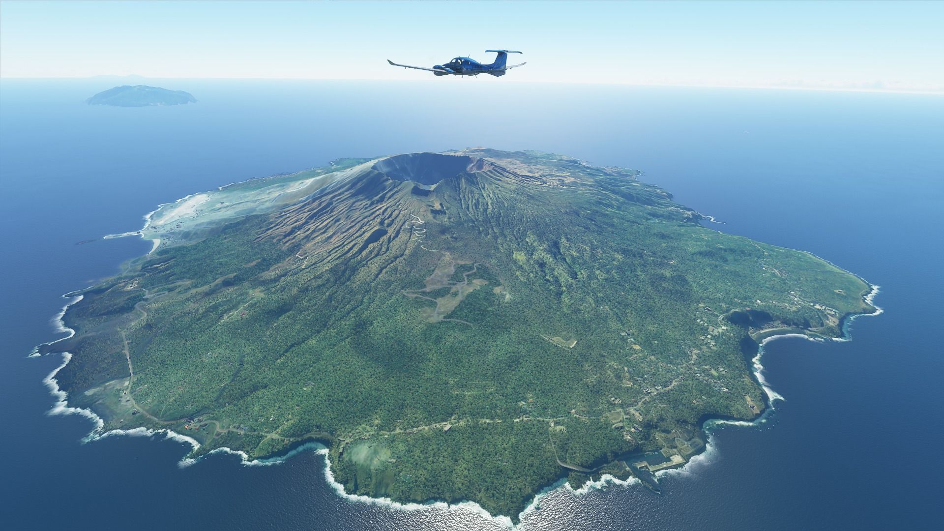
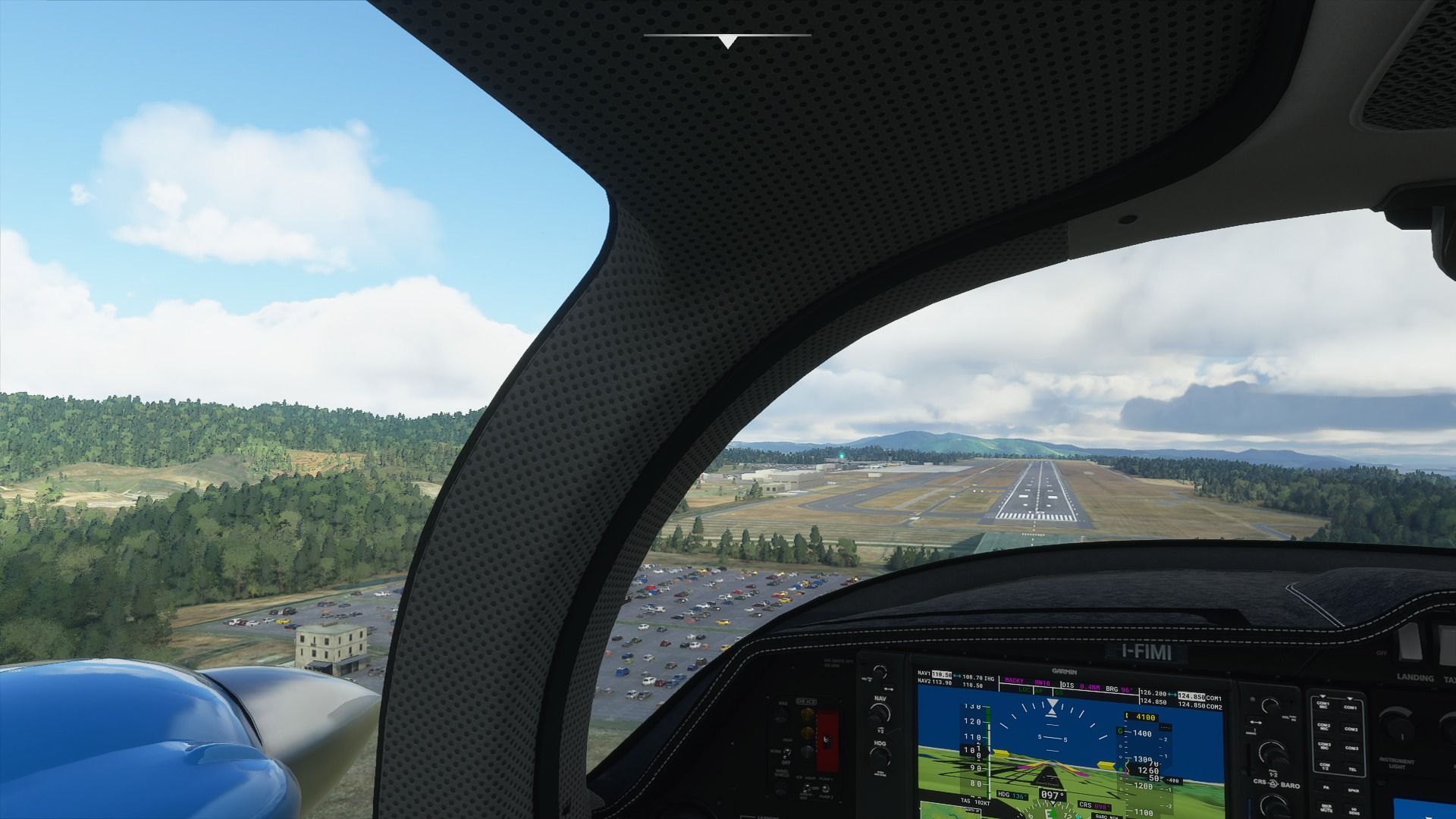
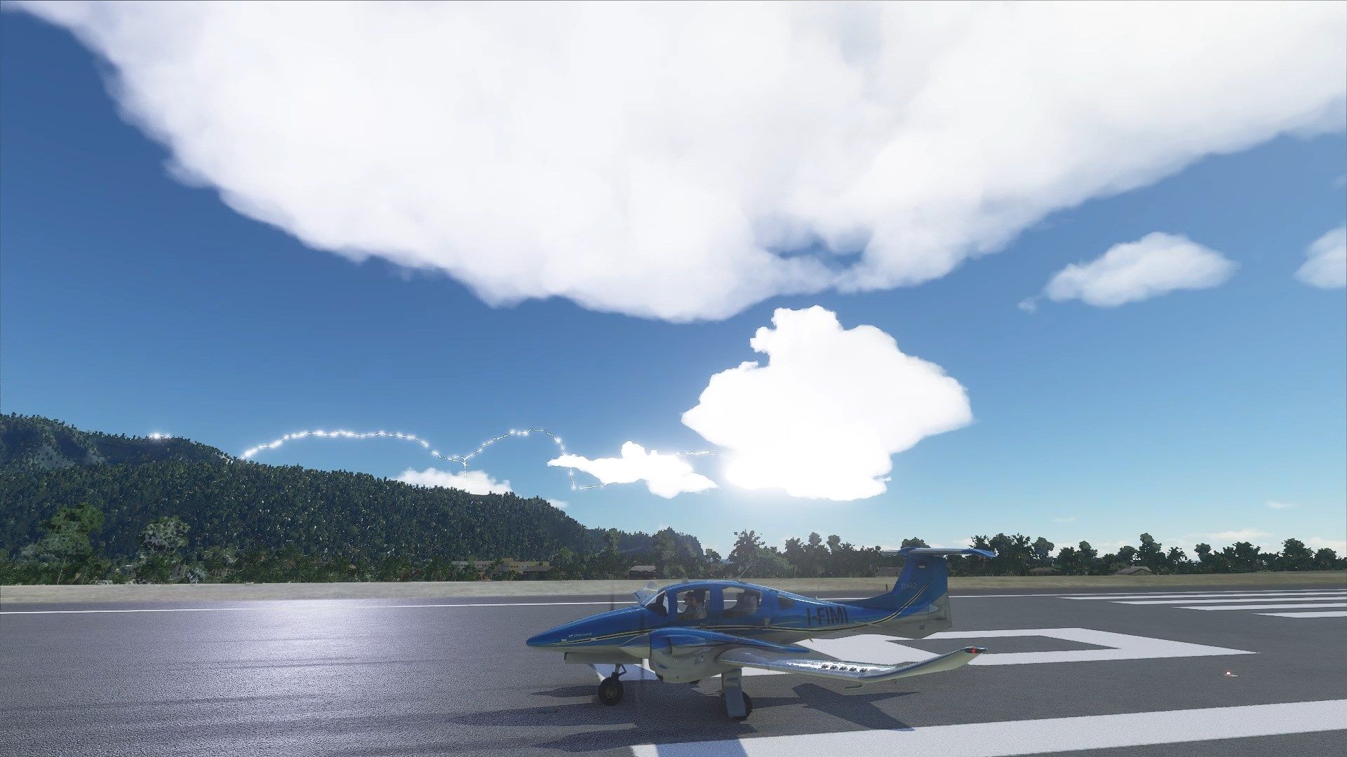
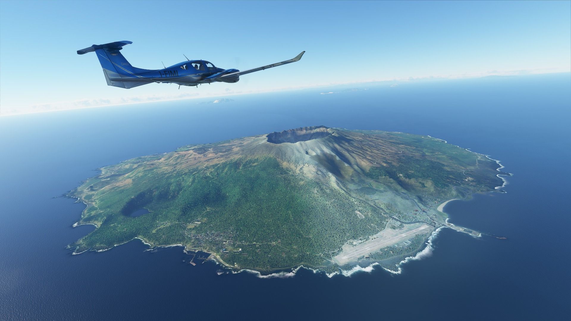
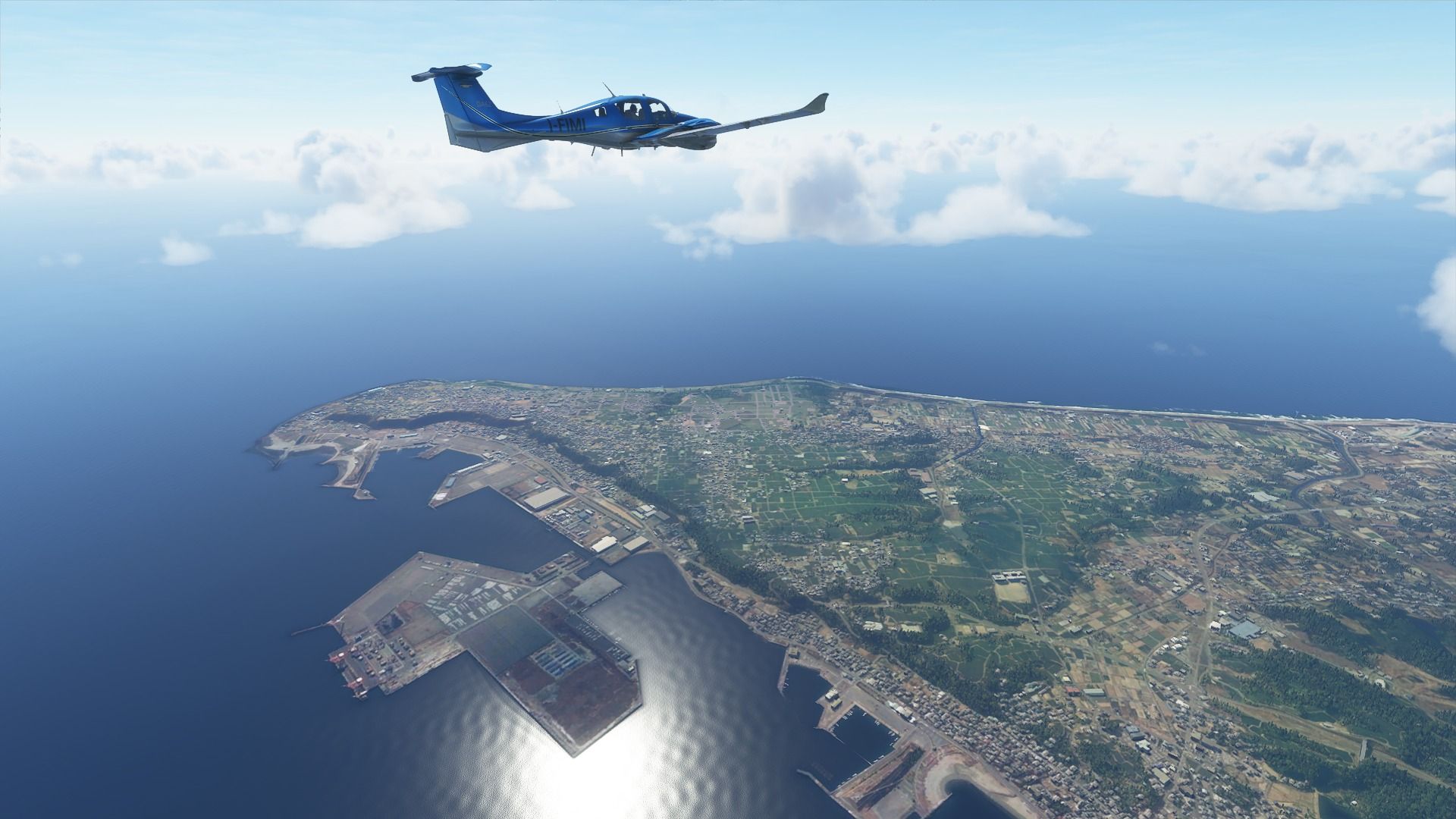
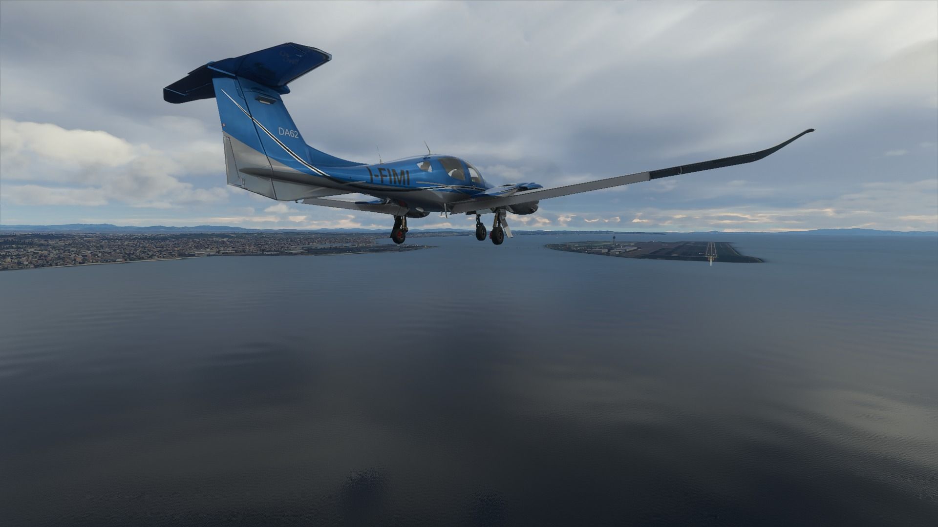
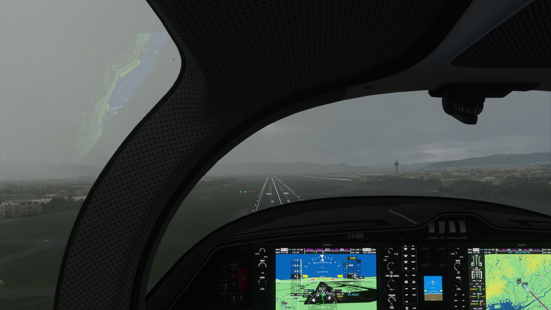
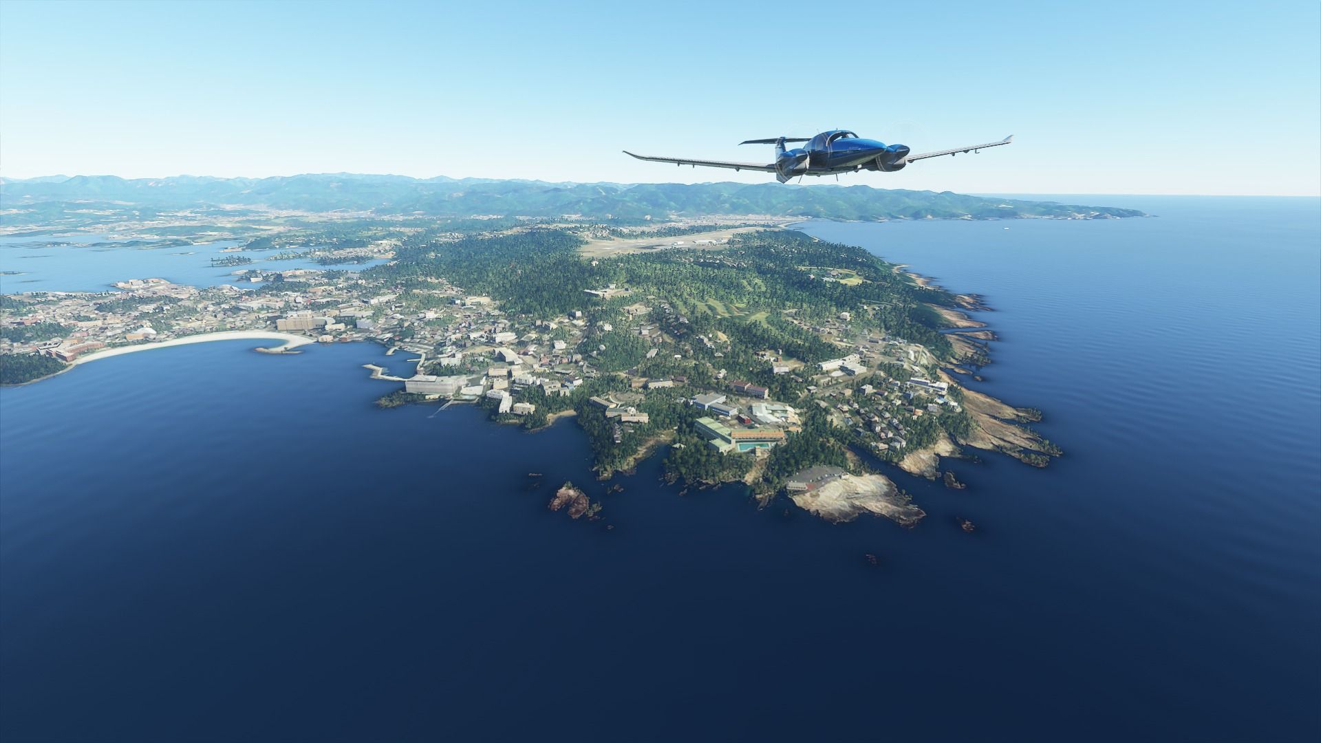
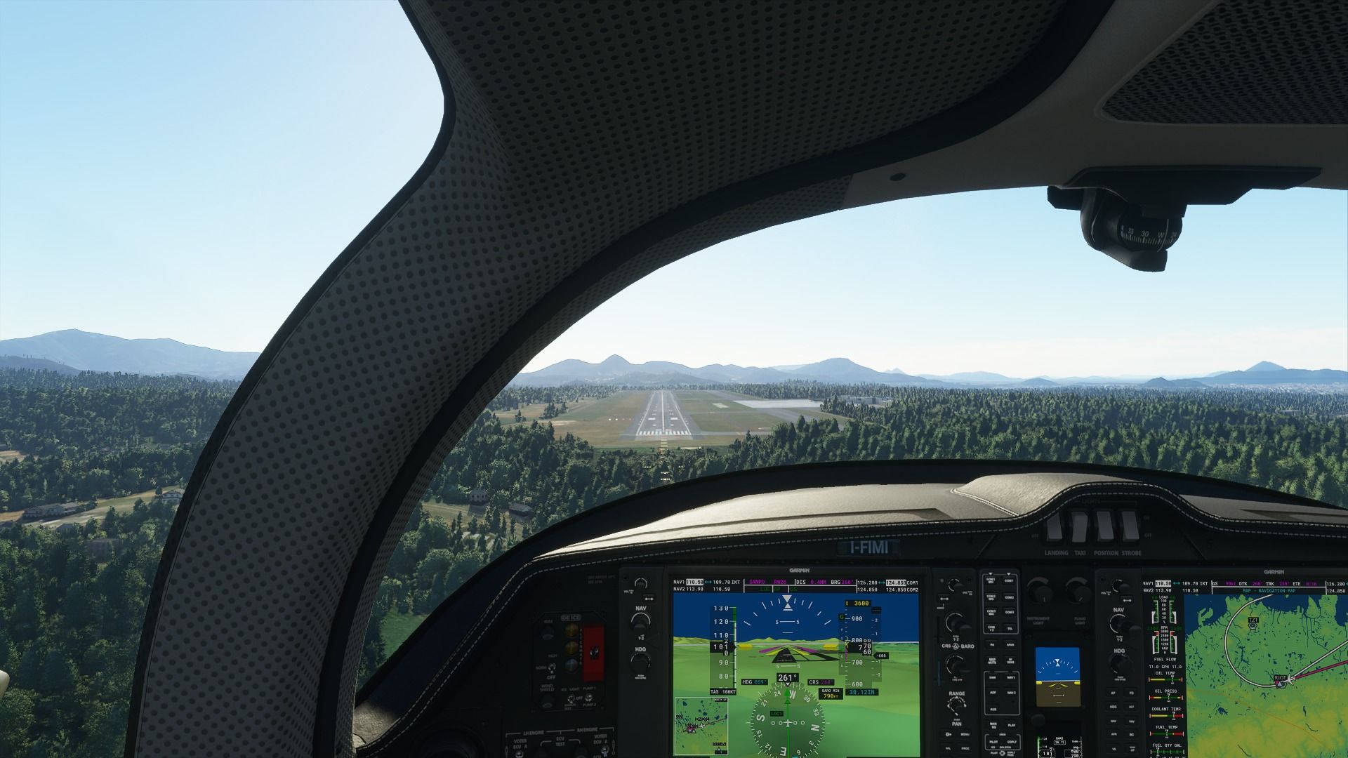
Finally coming in to land at Hachijojima, with the airport nestled between another active volcano and a mountain (which is actually an inactive volcano, which is convenient, because two active ones would be objectively too much). Japanese islanders love living under the constant threat of being the next Pompeii, what can I say.
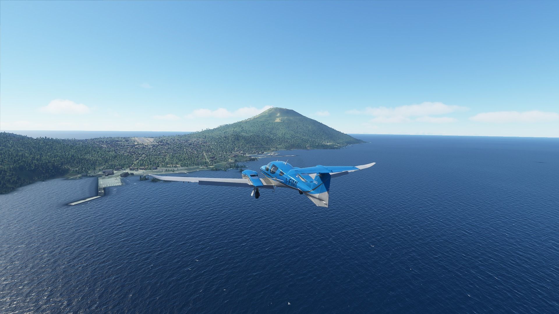
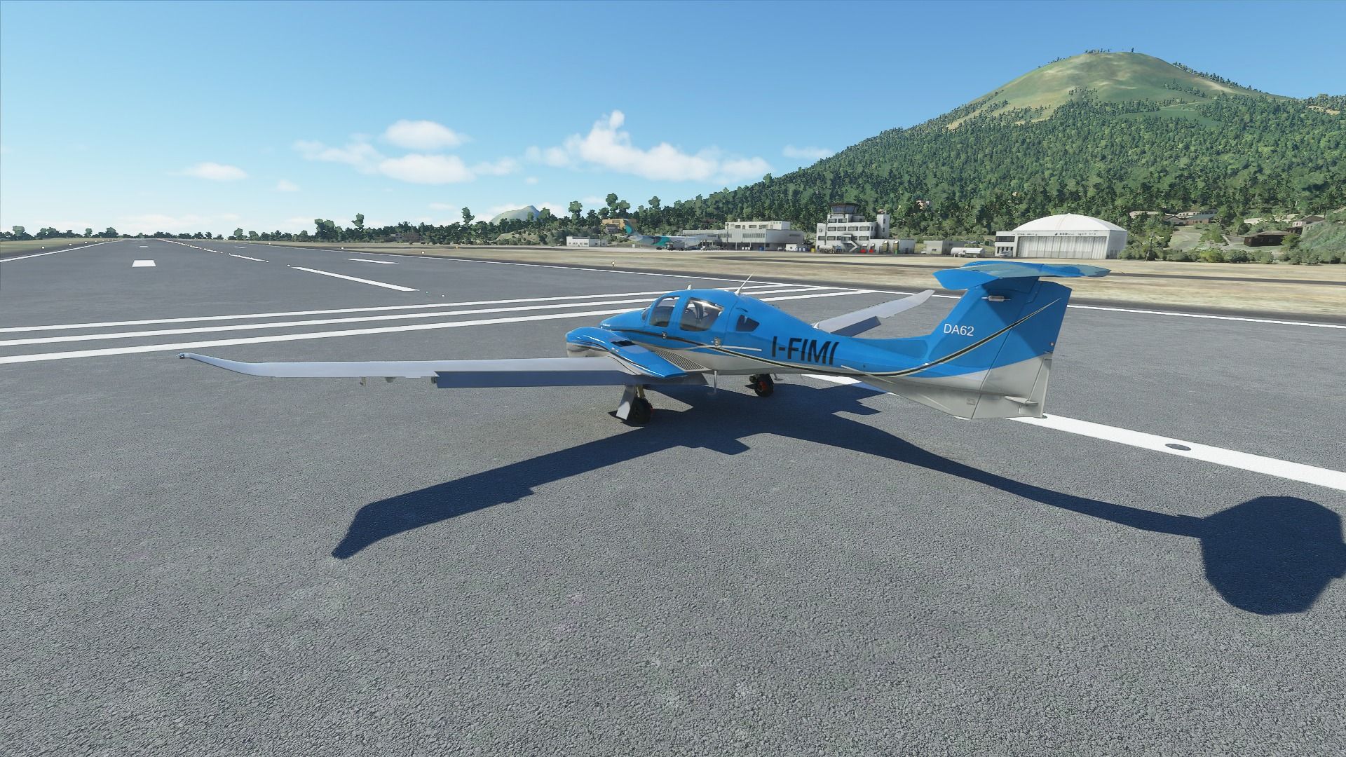
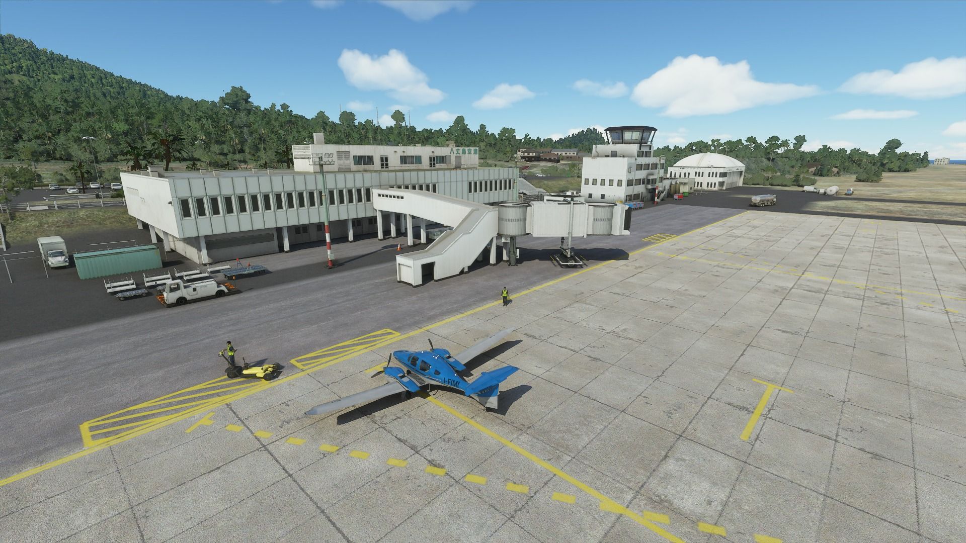
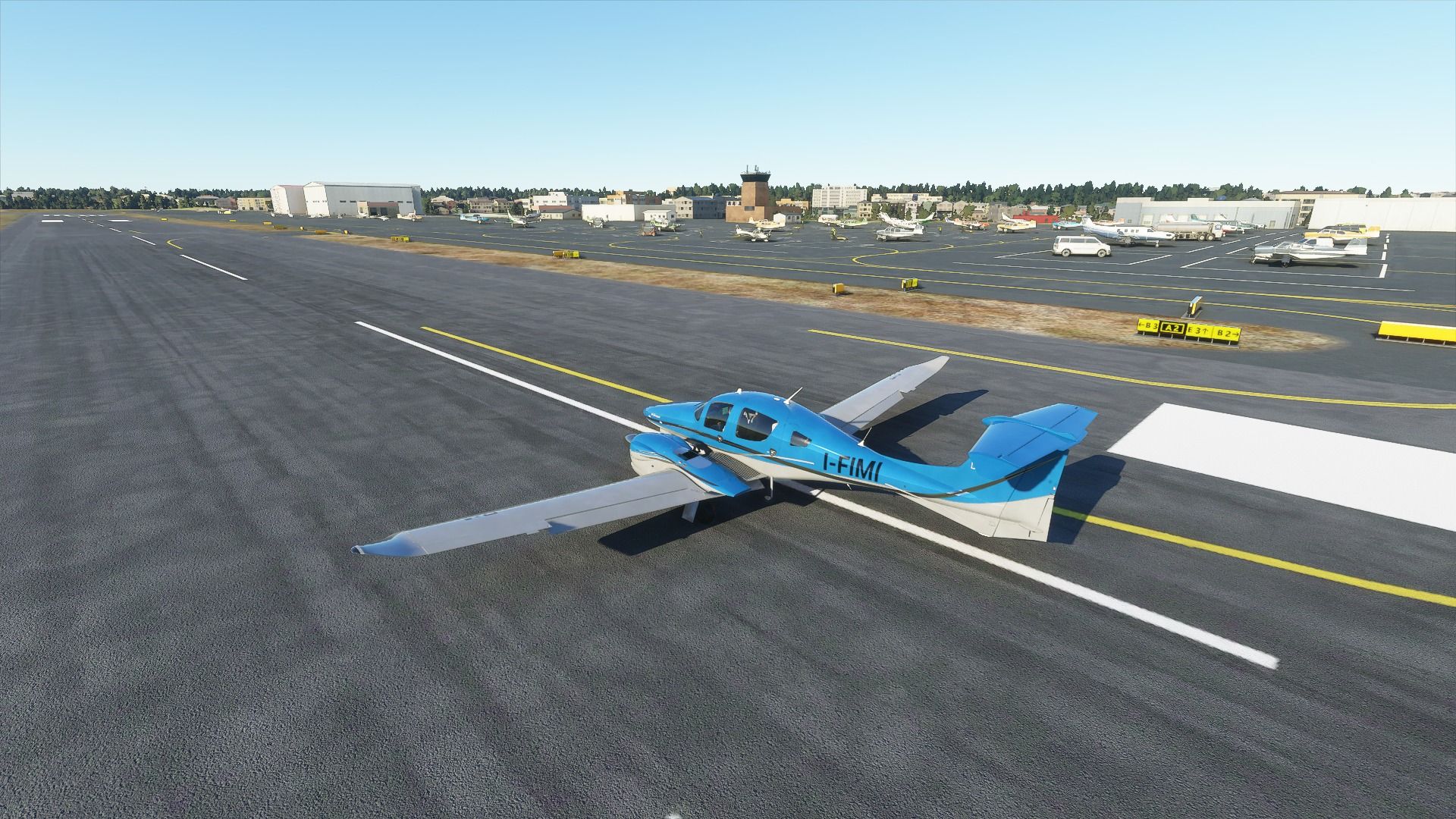
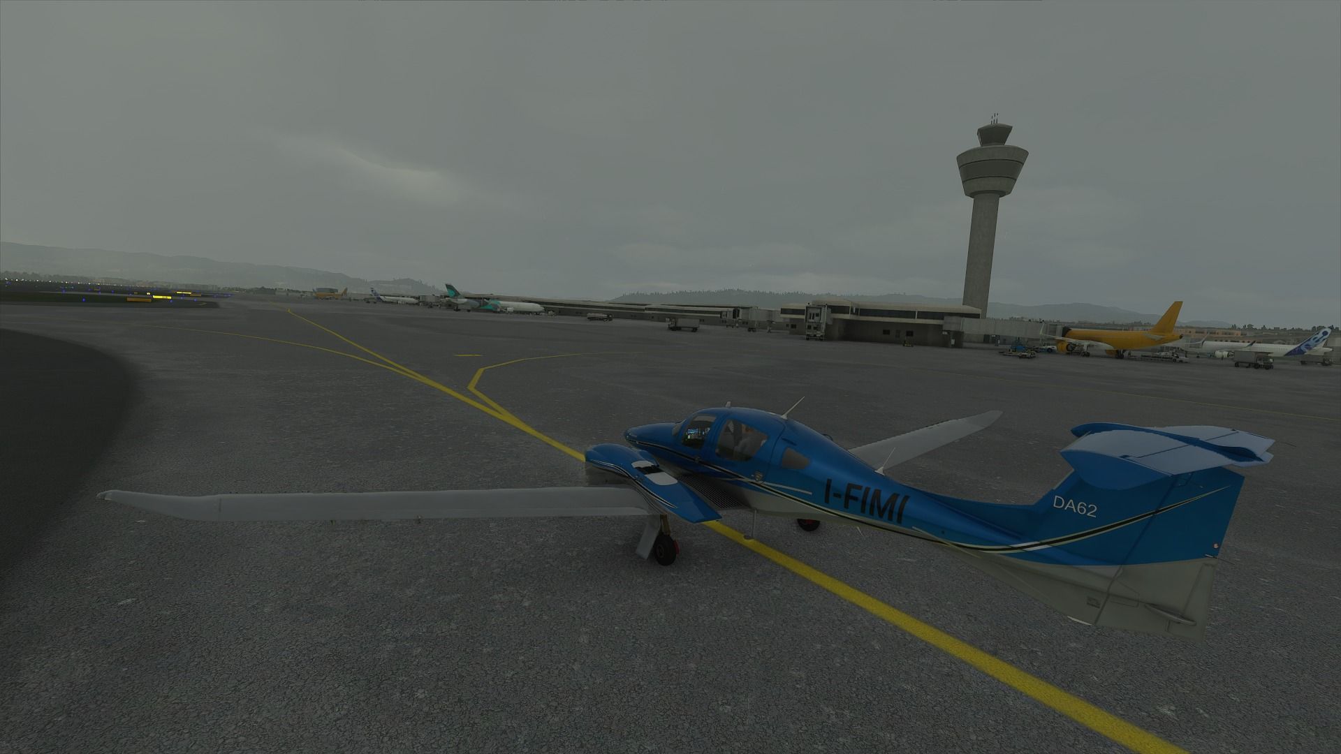
The small and quaint airport of Hachijojima. I believe this is one of those made by Gaya. It’s very nicely modeled and ANA flies daily routes from Haneda. Spending a few days here has been in my bucket list for a while.
 to Chofu...")

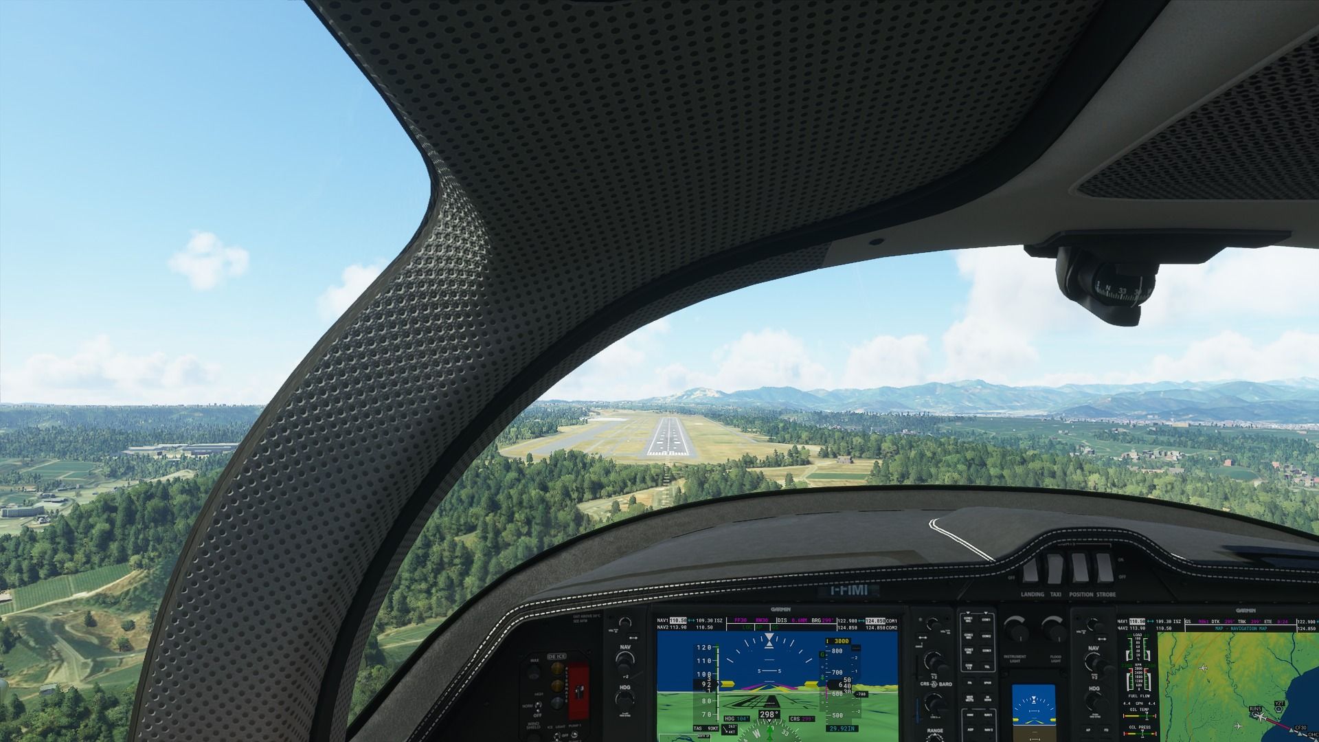
 to Shizuoka (RJNS) -...")

 to Nagoya (RJGG)")
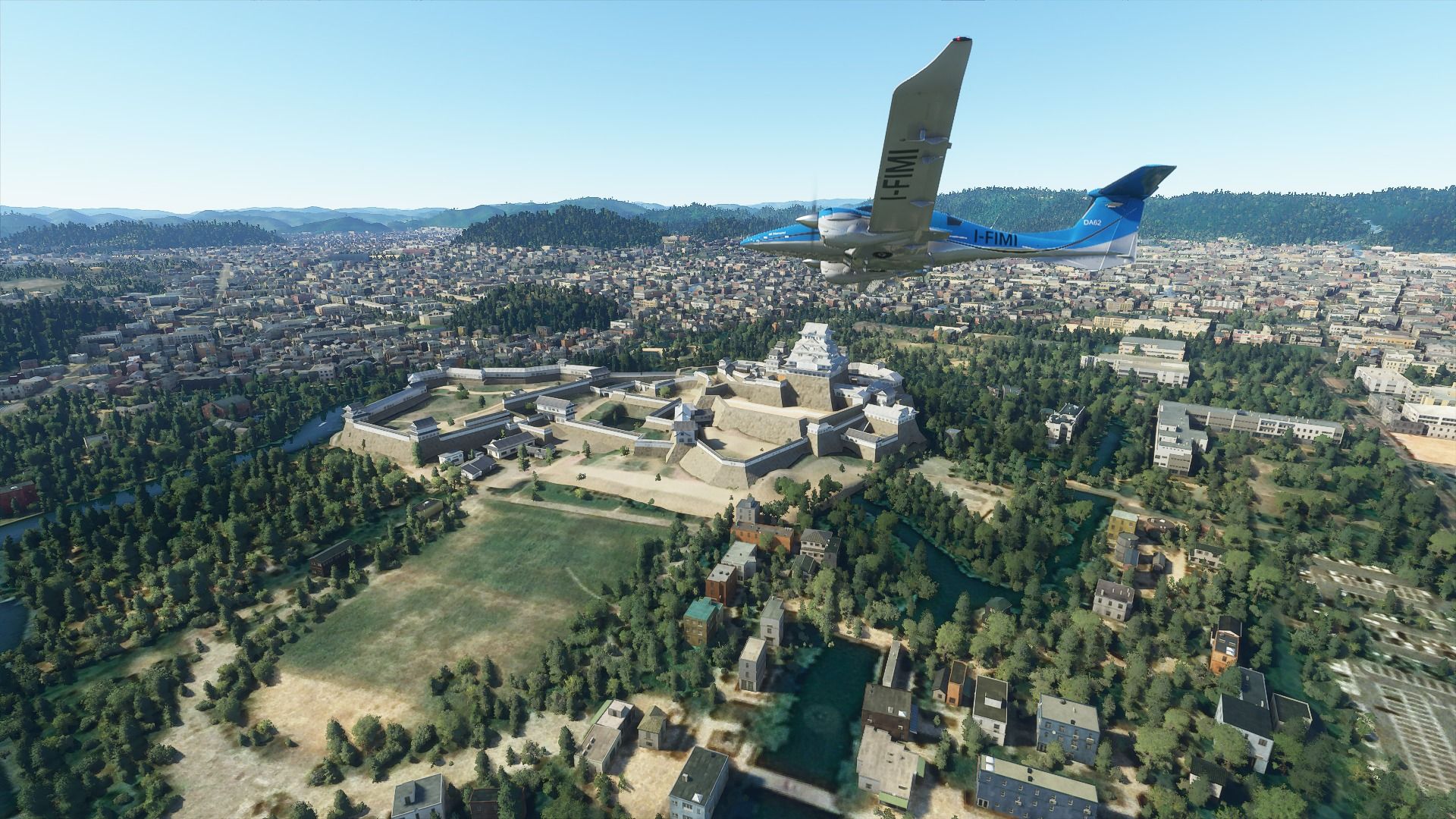
 to Osaka (RJOO)")
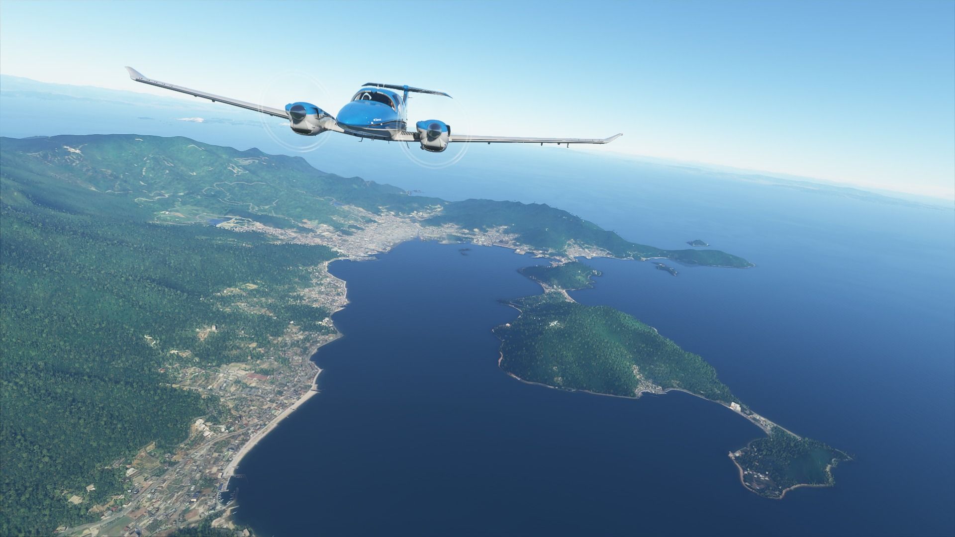
 to Nanki-Shirahama...")
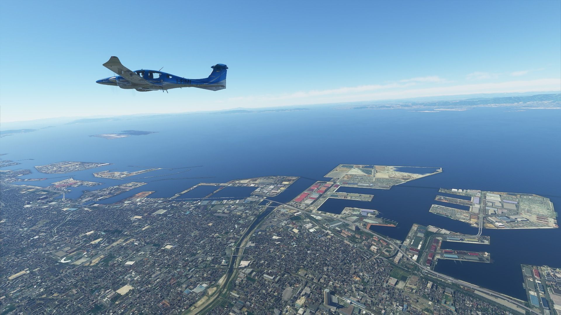
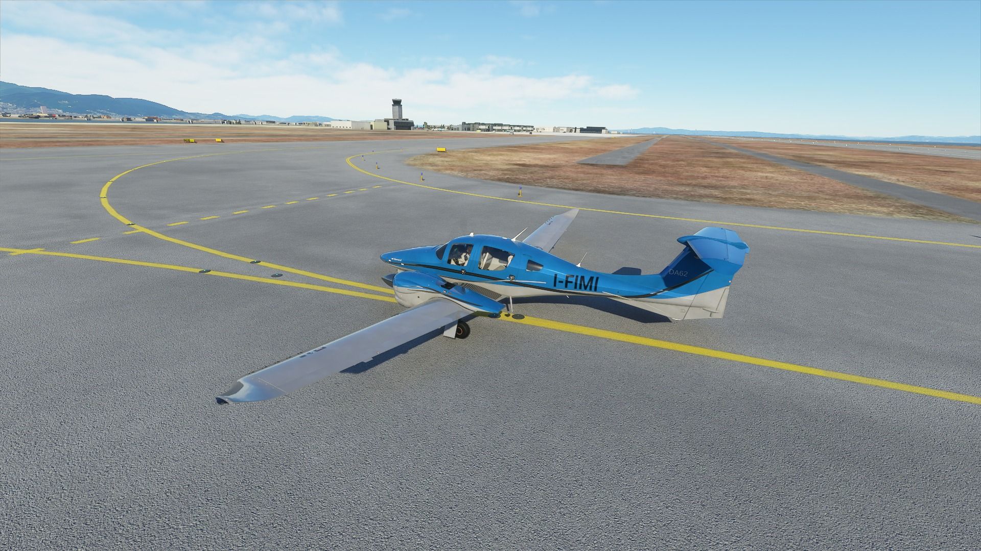
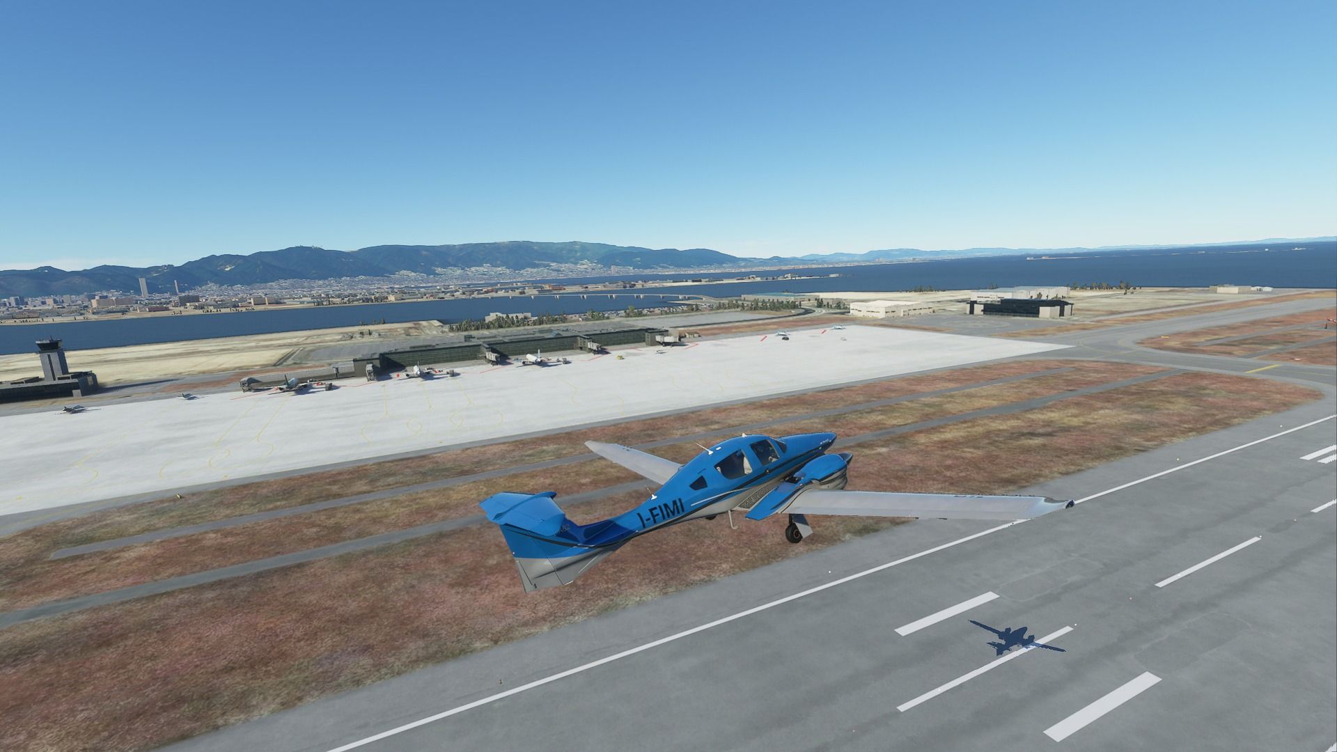
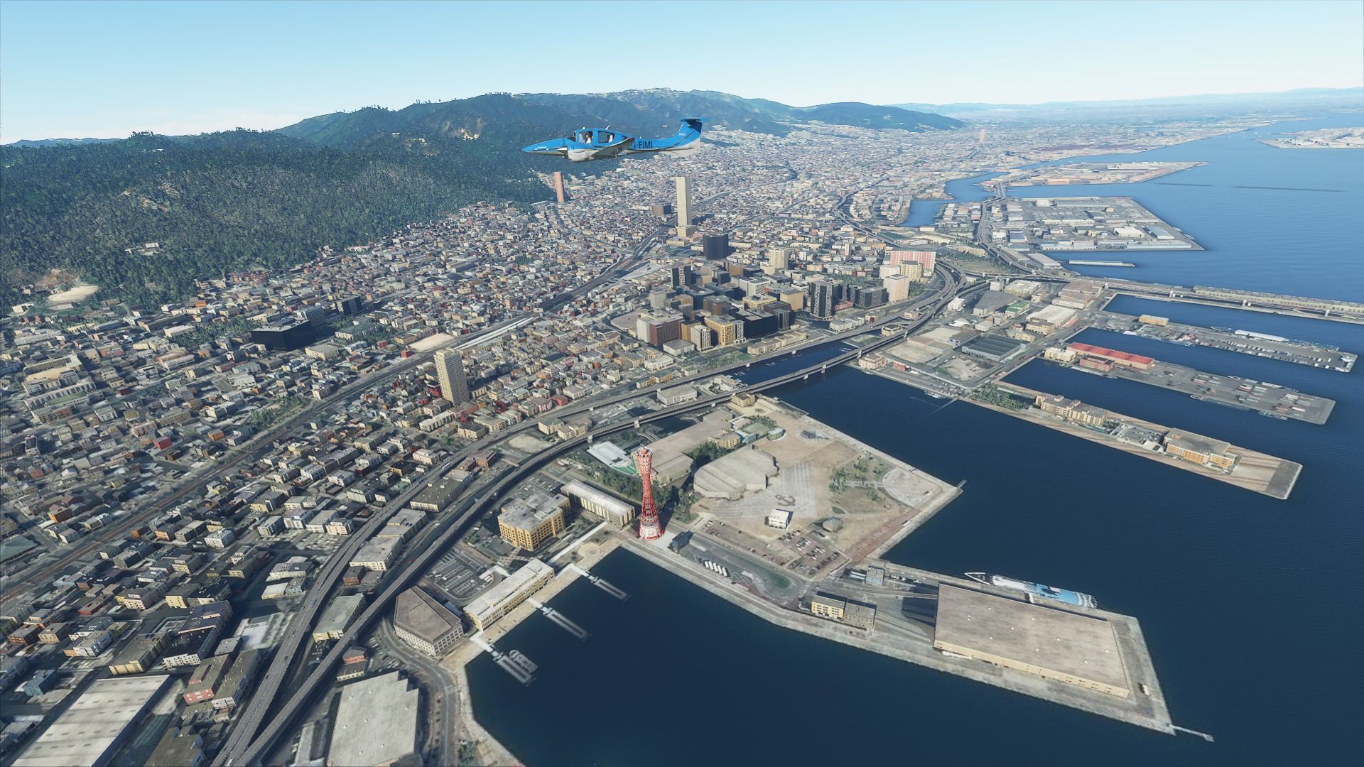
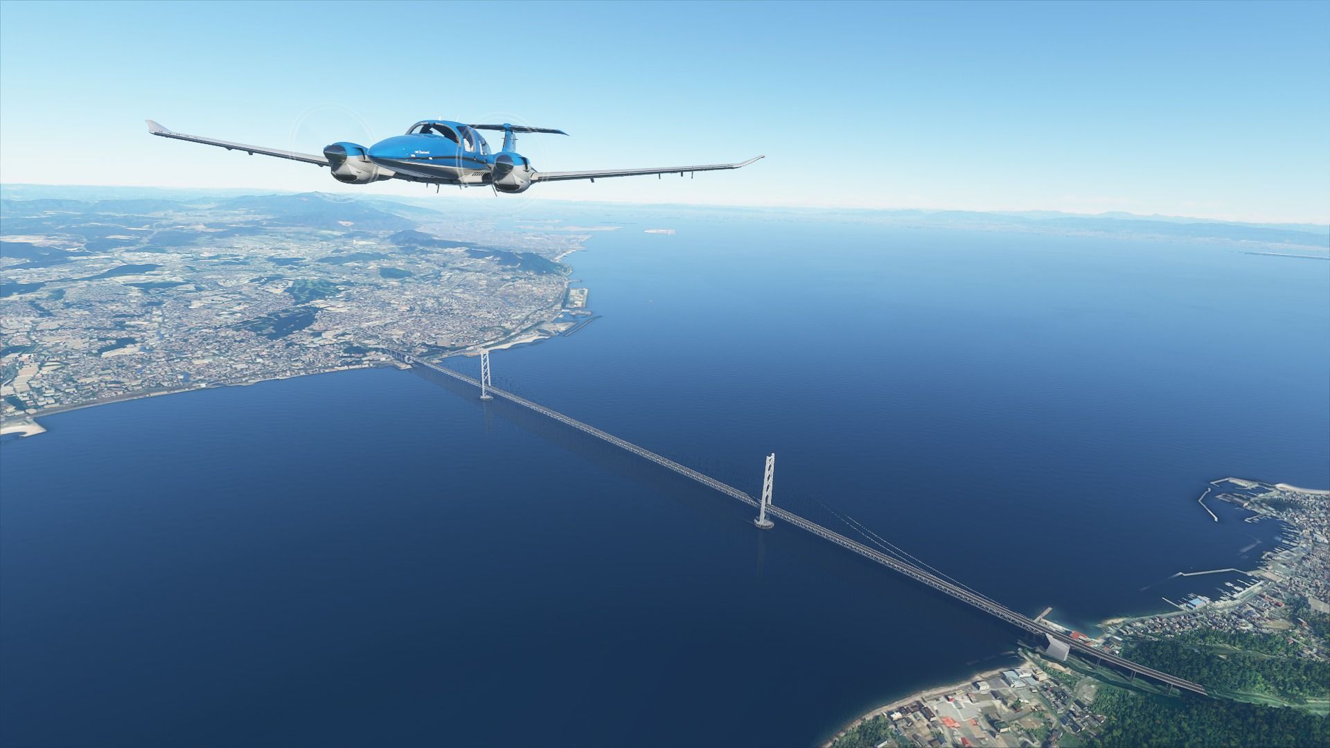
 to Kobe...")

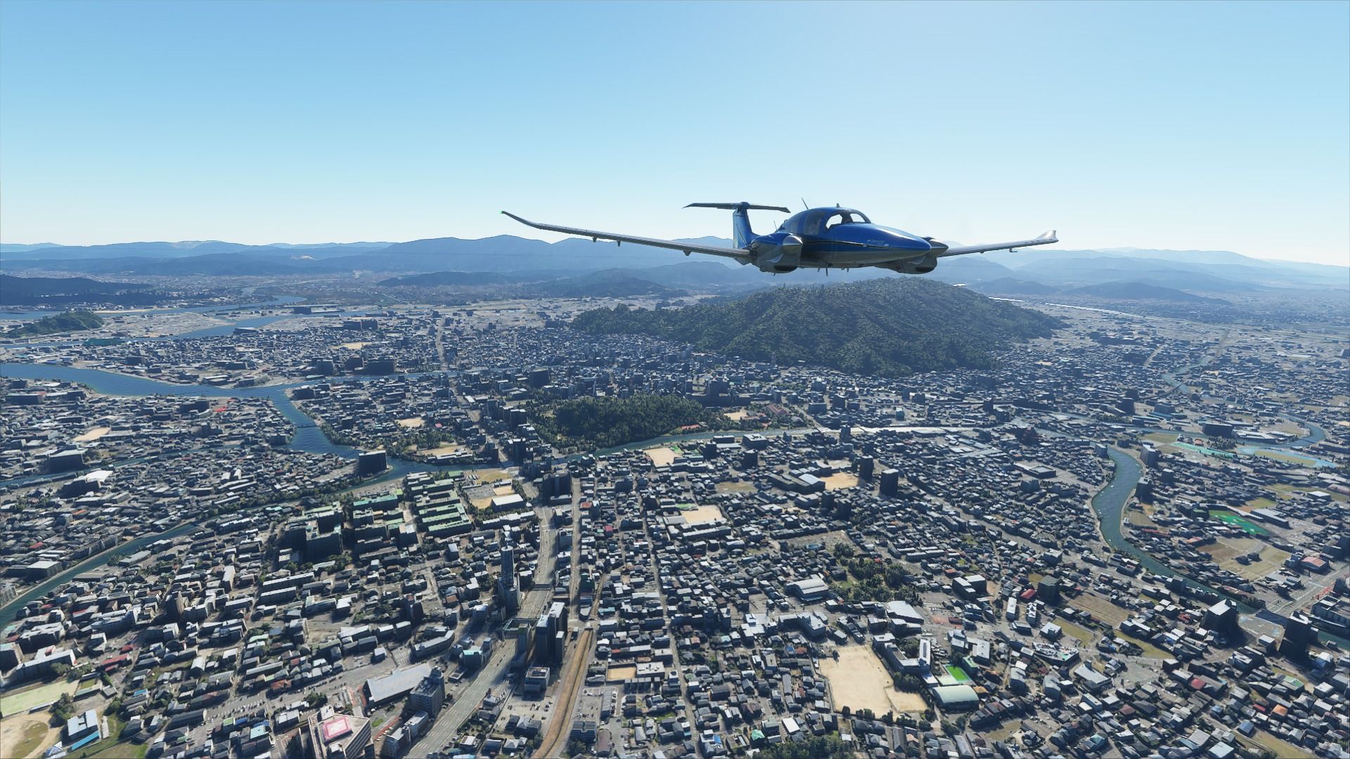
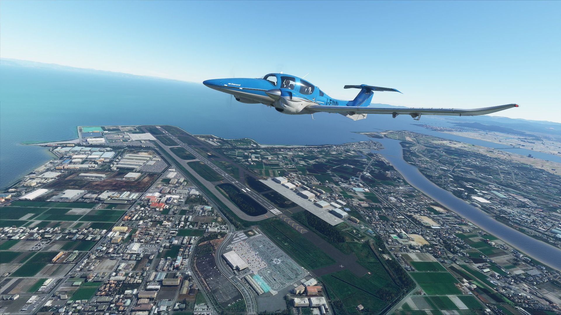
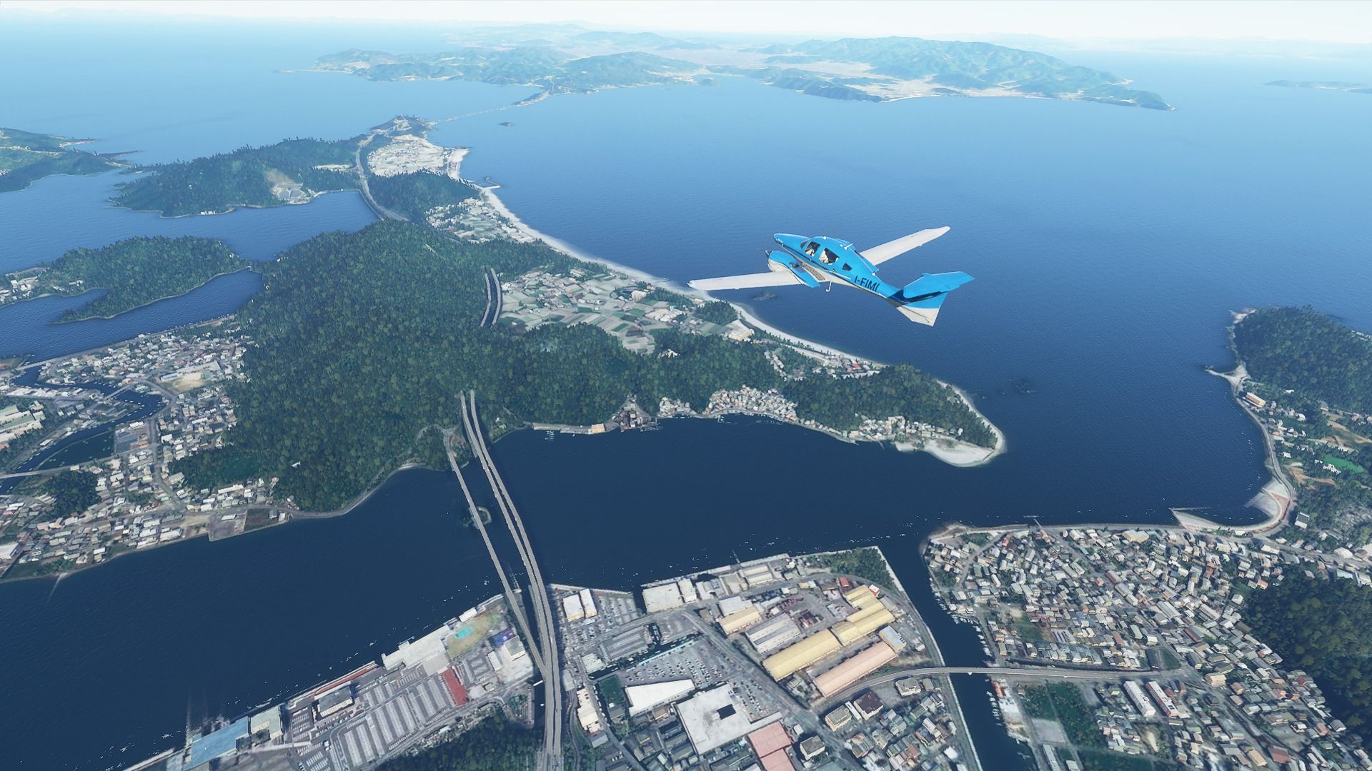
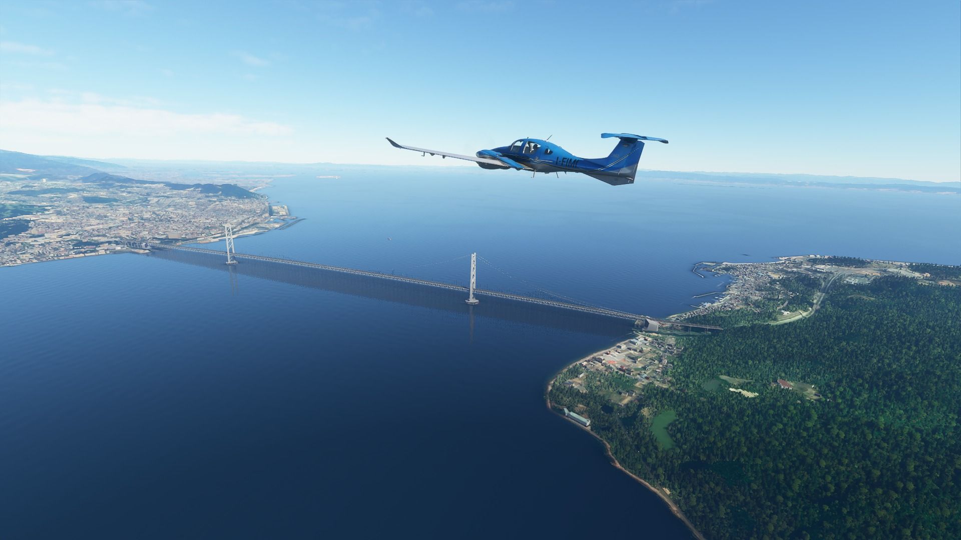

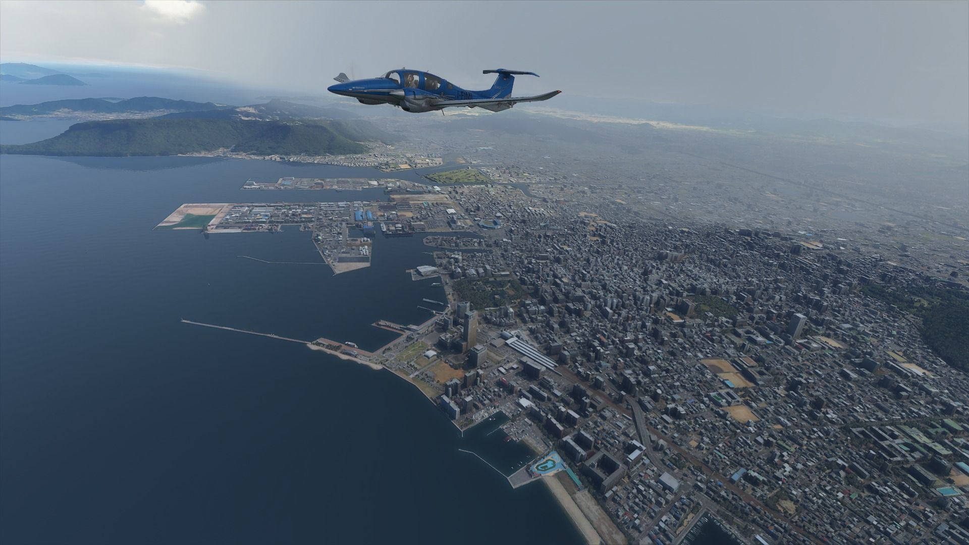
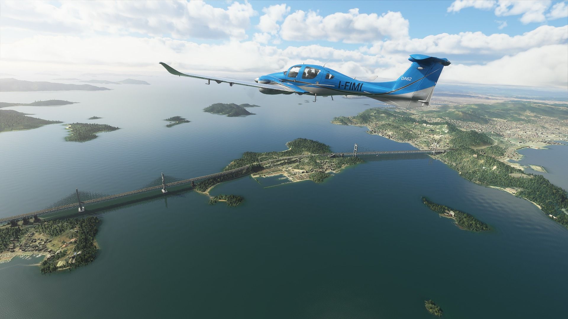
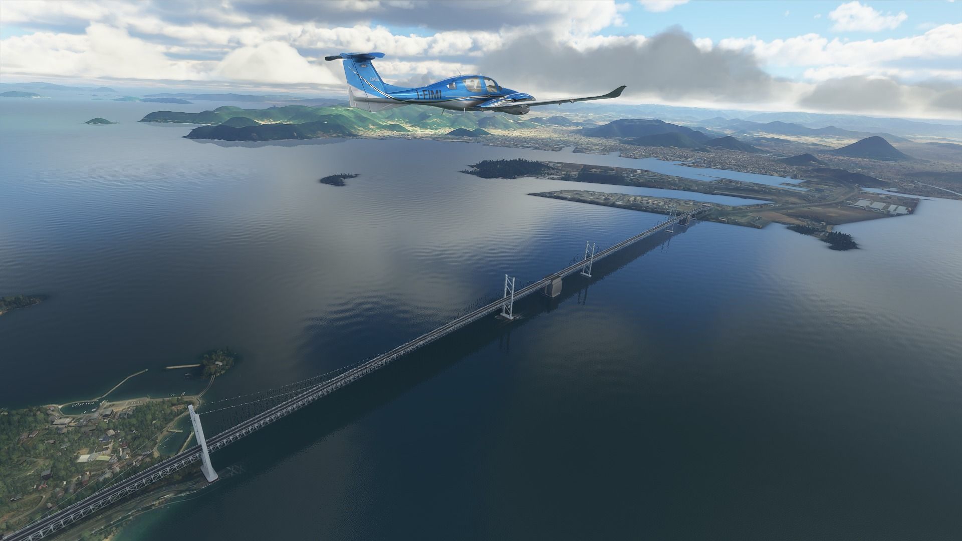
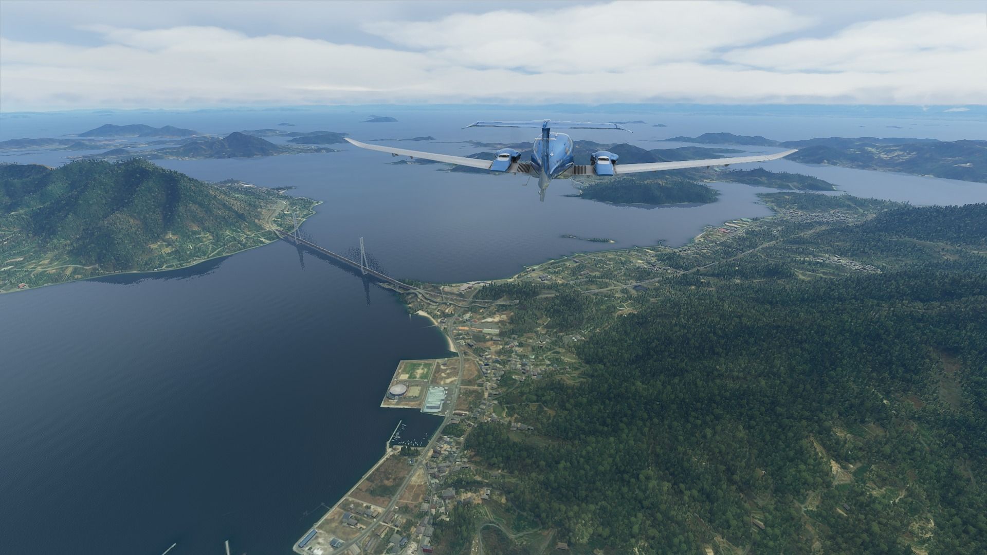
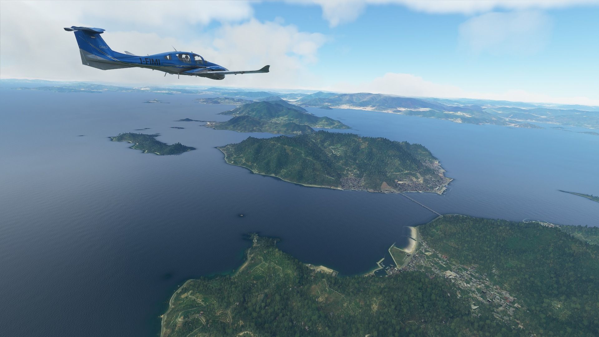
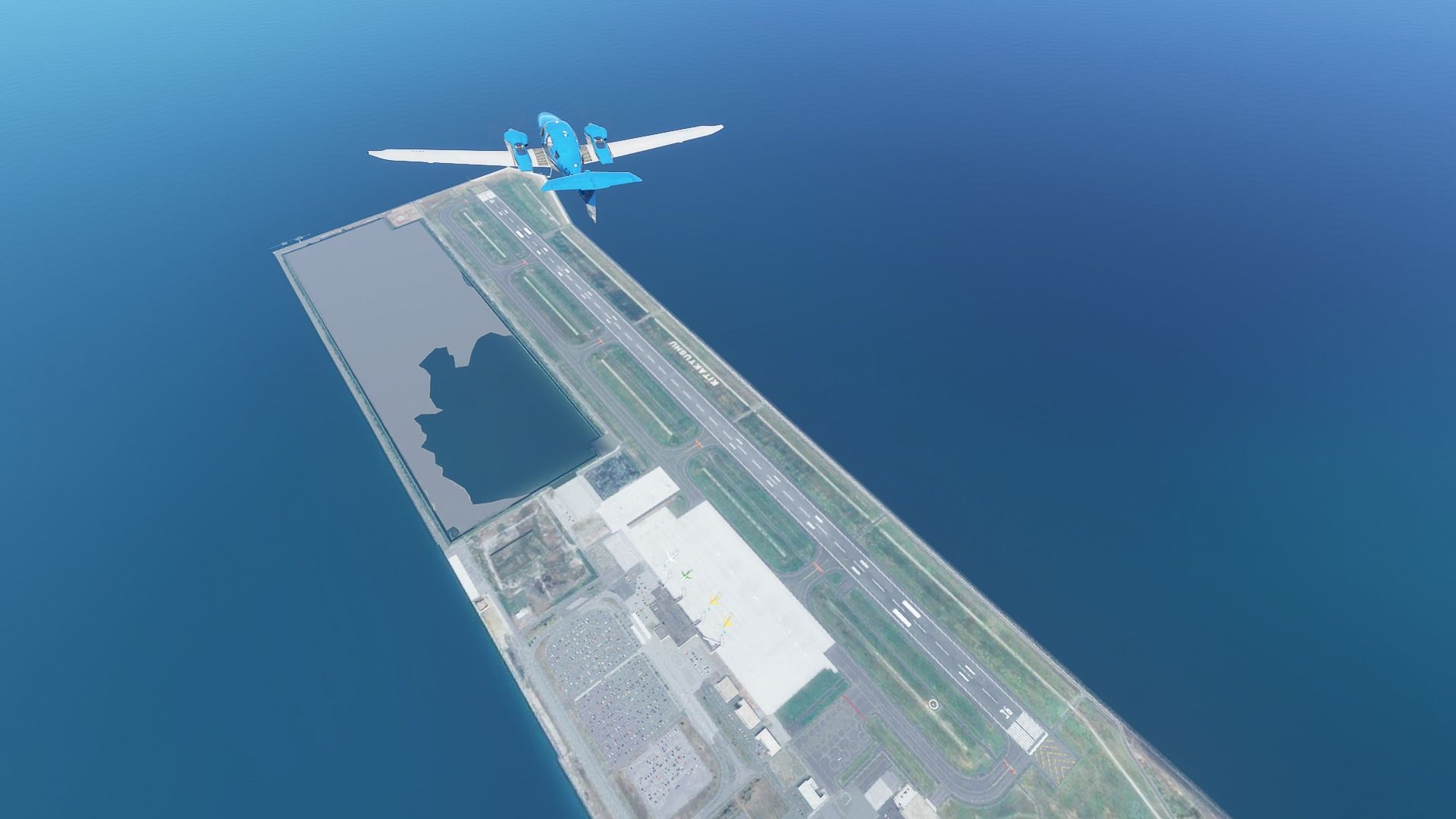
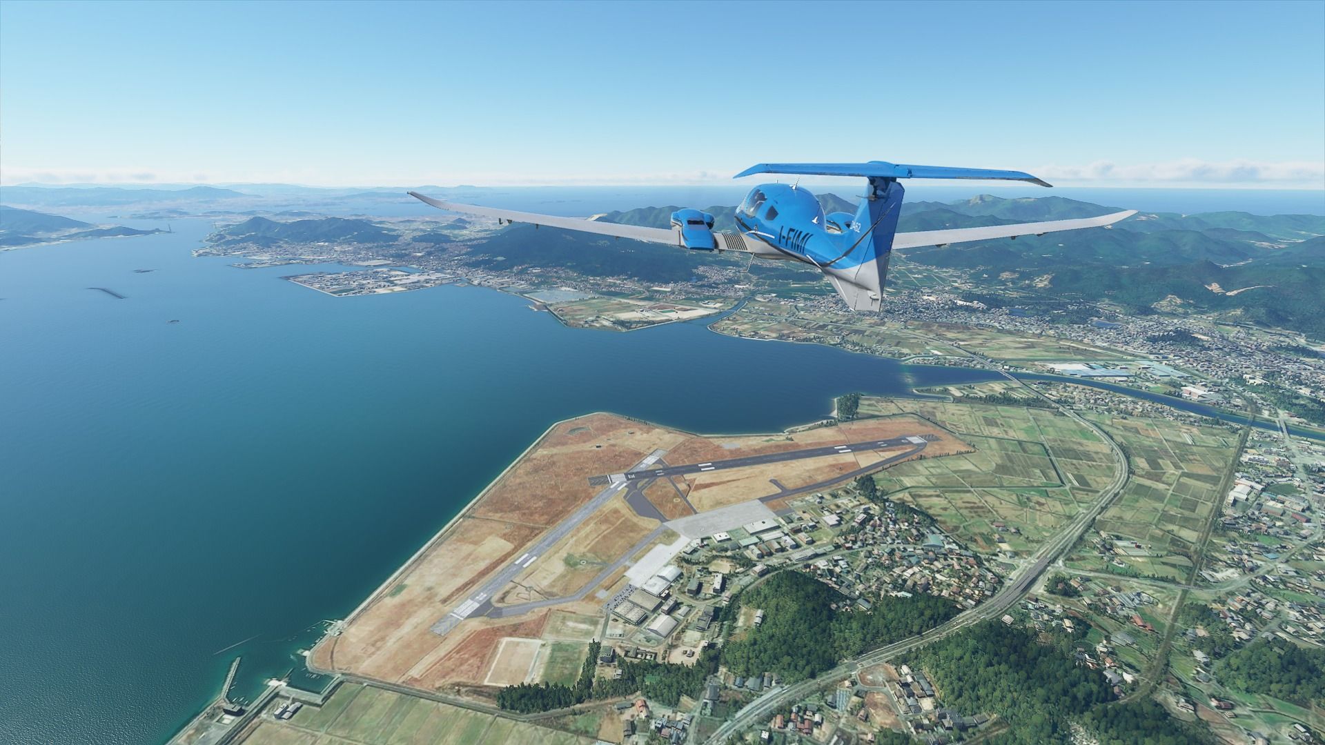
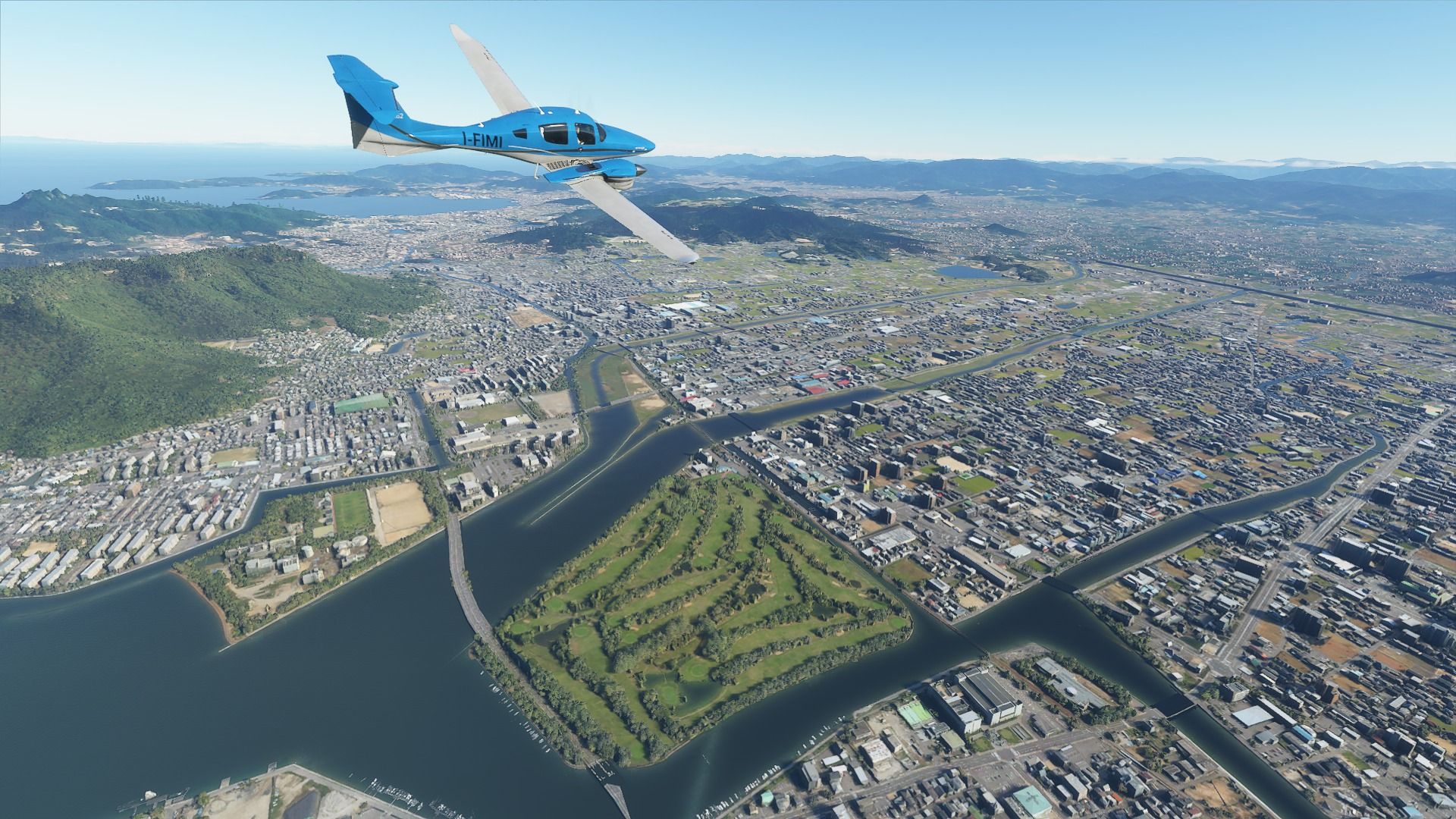
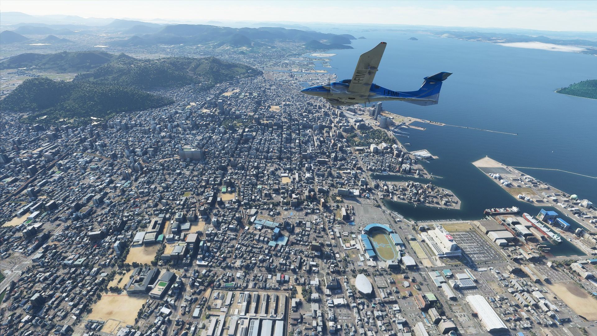
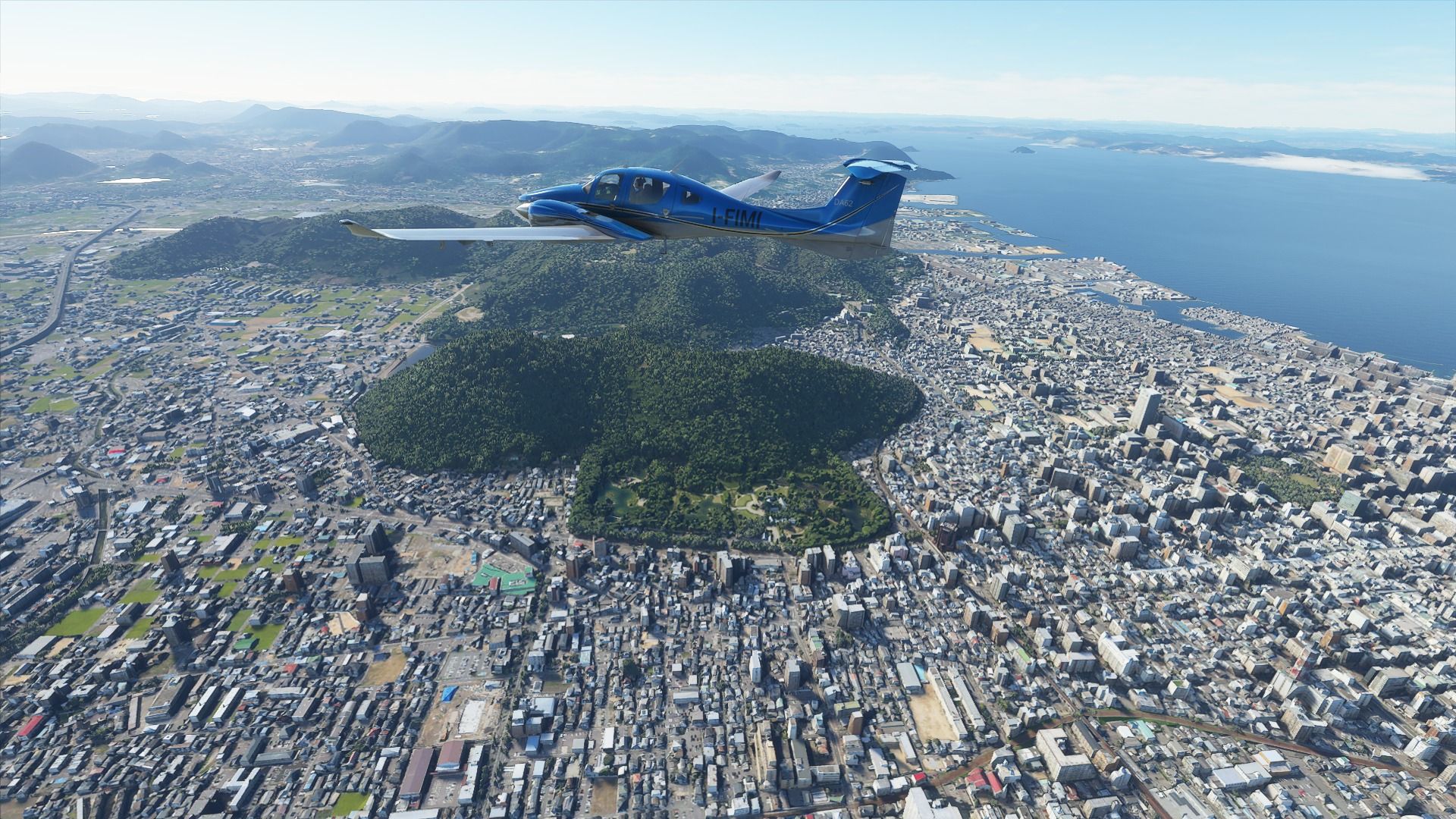
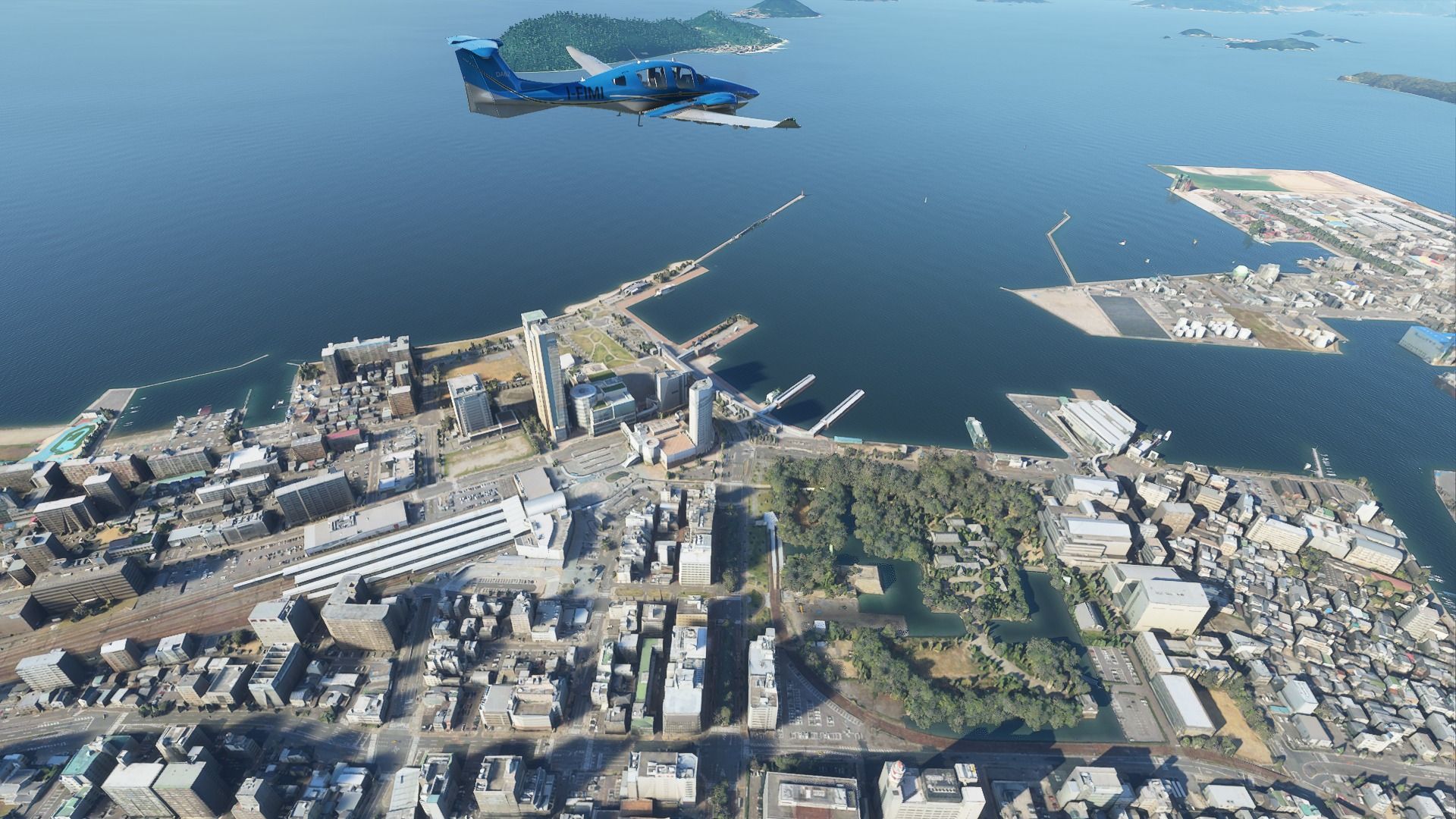
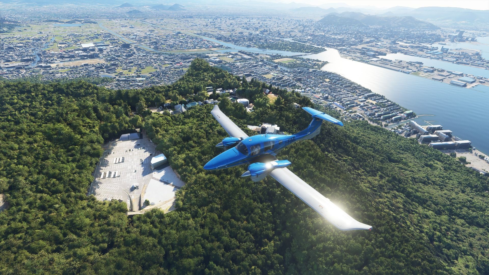
 to Takamatsu (RJOT)")

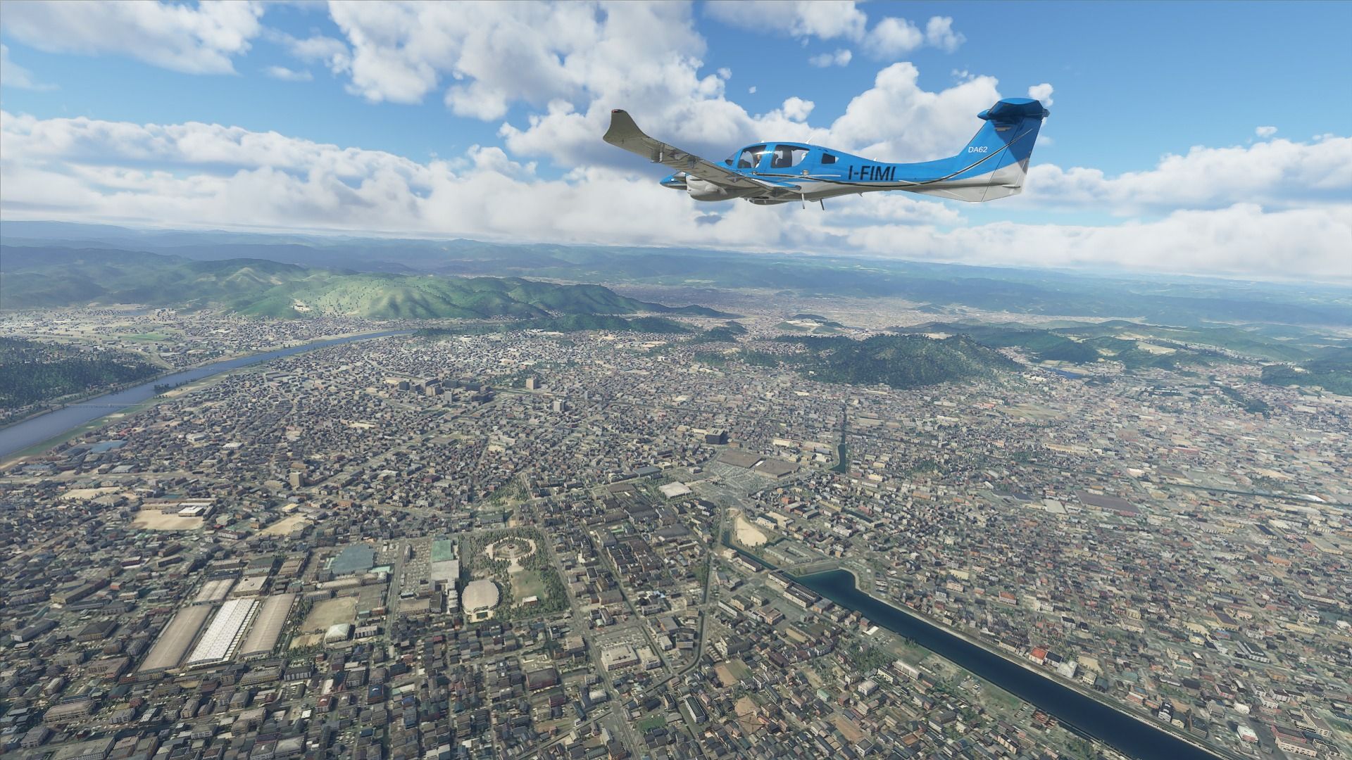
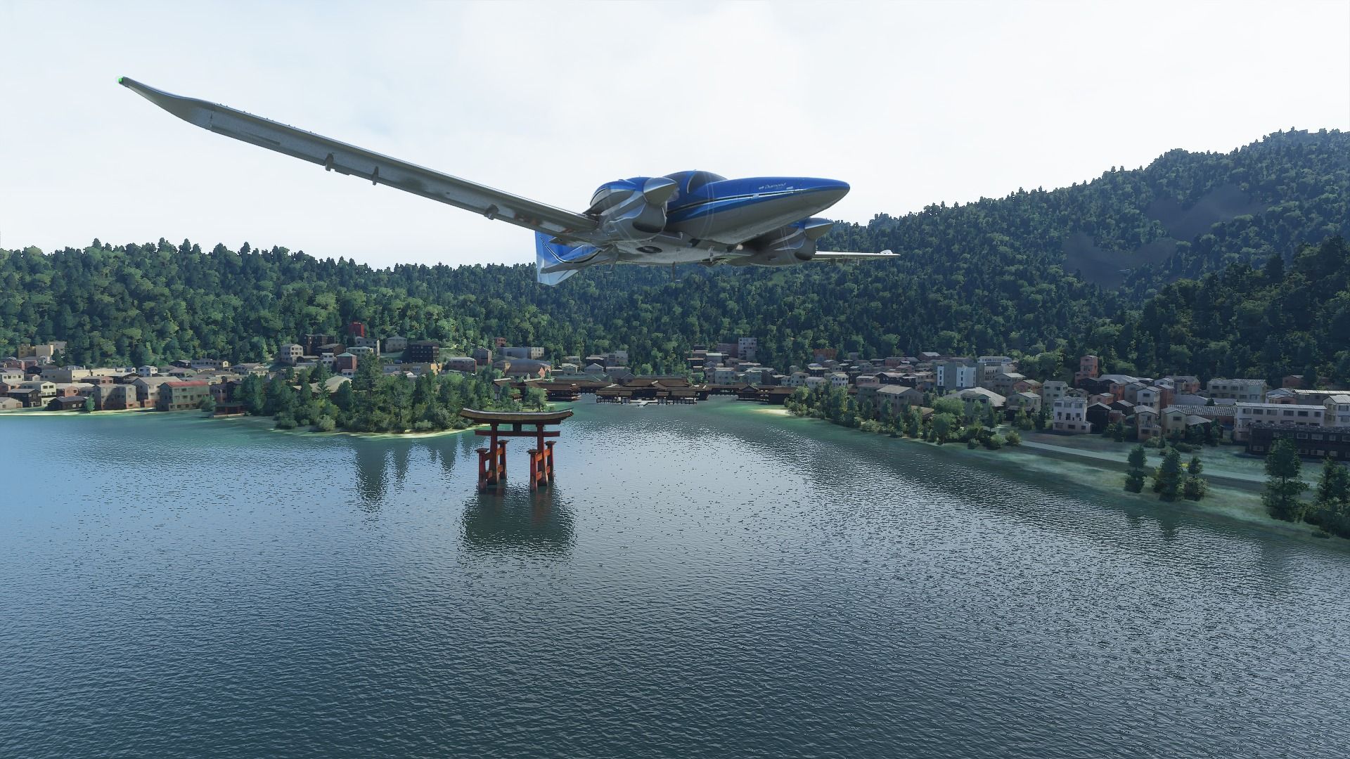
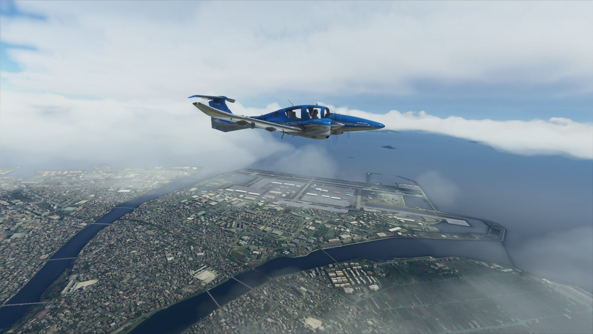
 to Hiroshima...")