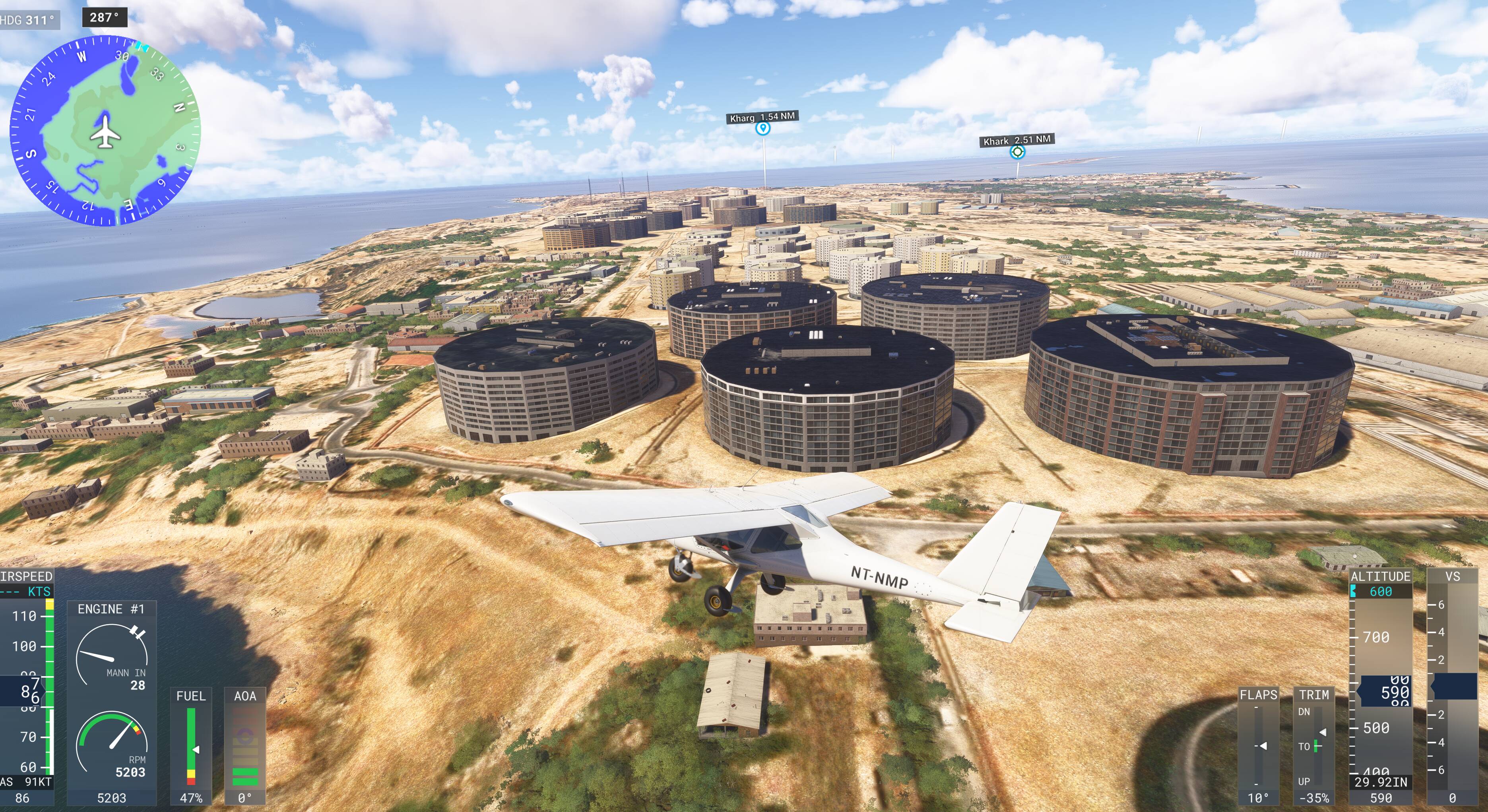
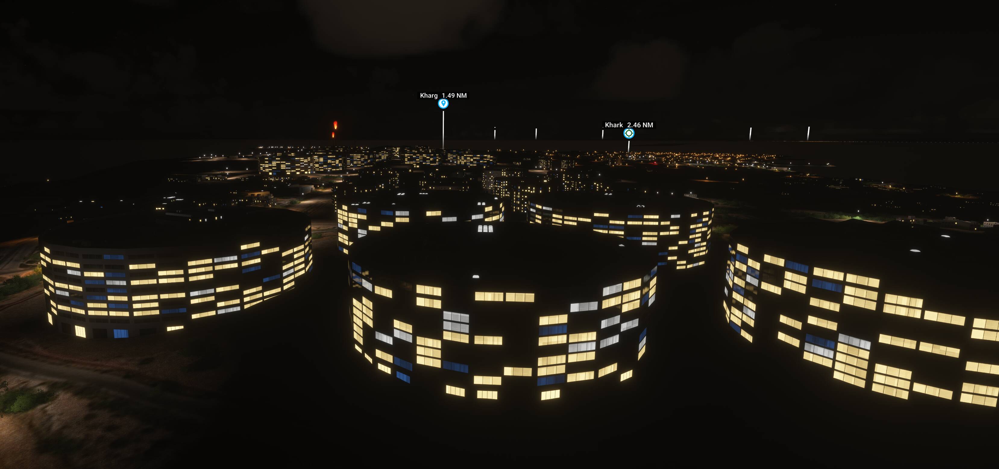
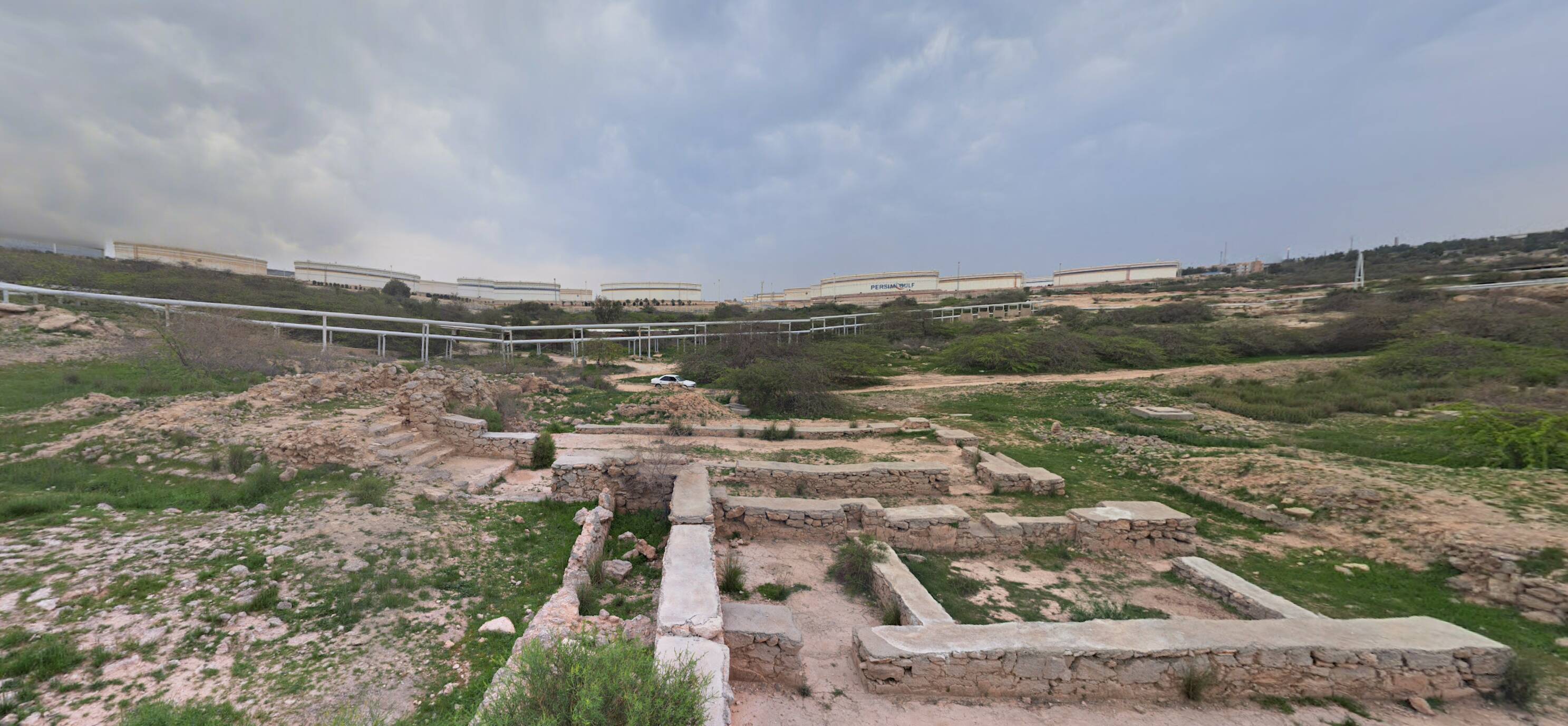
FYI, this is quite a common sight around the world. The procedural building creation process has - as far as I can tell - no ability to recognize oil and gas infrastructure, so treats these circular shapes as residential buildings. Categorizing every gas and oil storage tank world-wide by hand would be a huge task. Hopefully, there are publicly available databases that already have this information that could be used to correct this type of error.
As of last night, most, if not all of those oil tanks have been flattened out.
Let’s show a bit of patience while the new situation has been pushed in the SIM.
The information that it is not residential is (kind of) available via OpenStreetMaps.
The tanks are categorized as silo there.
Not sure though if MS / Asobo are allowed to use OSM data commercially, if so it could probably be implemented to enrich the data and rules for procedural generation / autogen.
I do wonder how AI is programmed to select objects during procedural building? Surely this could be programmed in to check other sources, particularly lateral views for height and shape, Airbus data, which has very, very good close ups.
For example, my house has been rendered as a mansion with about 10 windows down the side. I have 3 in reality. POI,s are often not rendered at all unless they are in updates. There’s satellite data everywhere and AI is supposedly able to analyse real world pictures and even recreates humans and situations.
I don’t understand why, for this sim, we have to only use the WU system which seems to be very expensive and from my understanding (may be wrong) relies on another company literally flying over areas to capture photographic evidence.