Kind of frustrated this hasn’t been updated yet since it is a major US airport.
The airport in MSFS looks like it is based around the pre-2018 alignment where 27L is 10,500.
The updated data would have to include a 1,500 foot extension, fixes to taxiways M and L, as well as the additions of 3 new ‘S’ taxiways and several other new taxiways near the extension of 27L.
Considering 27L is frequently used for departures, it’s a pain when flying on Vatsim to have to coordinate with the controllers each time.
Have you checked the Bing maps and see if it’s already updated or not?
If the Bing Maps is showing a pre-2018 alignment. then it’s not really Asobo’s fault, since the AI is building the airport based on an outdated satellite image. Unless if the Bing Maps is showing the correct aerial photo, and the MSFS is auto-generating the airport incorrectly. Then that’s something for Asobo to fix.
Or you can just wait for a community airport mod that may update it.
Bing aerials has it correct, the street map has it wrong.
Bringing this up again because it’s been over a year and the 20th busiest airport in the country still has its main runway completely wrong.
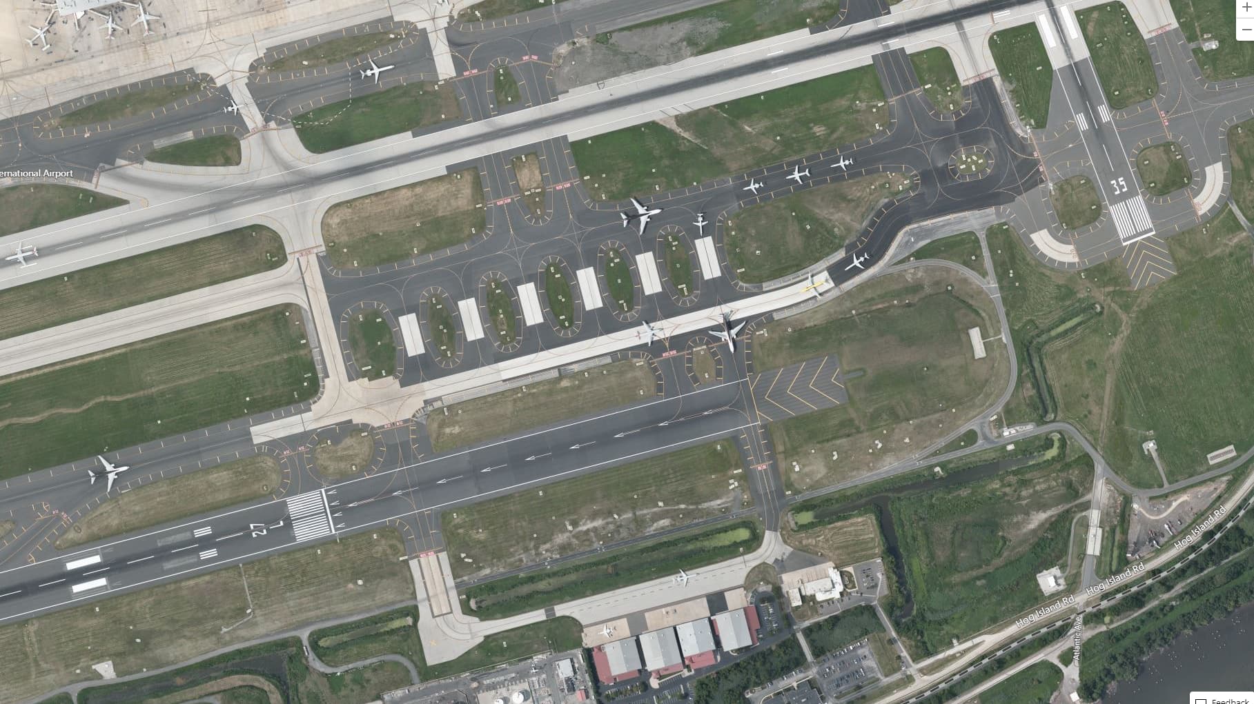
Picture below is from Bing Aerials:
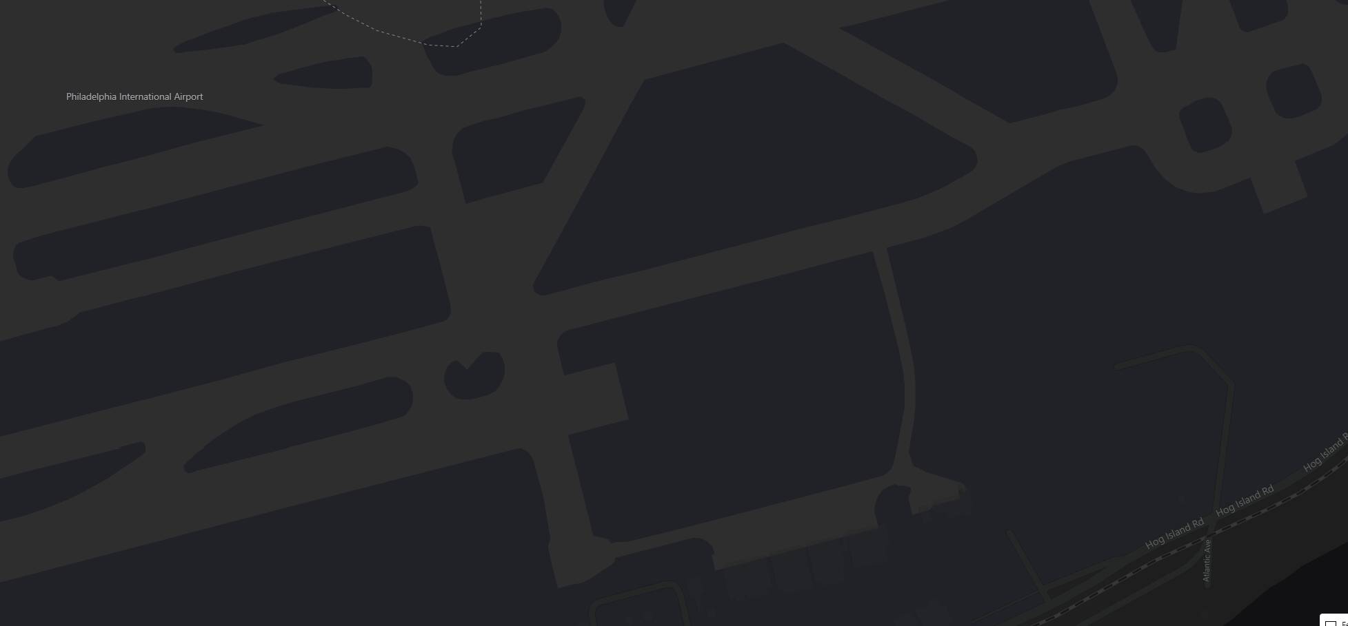
Picture below is from Bing Road Data:
It’s pretty obvious that they are using the Road vector data for the sim. But PHL hasn’t been in that configuration for over 10 years at this point, and it’s a real pain when you’re on Vatsim. Hopefully this can be patched soon.
Some taxiways still have large “bumps” that can cause both prop and tail strikes IIRC…
I’ve encountered pretty bad bumps on 27R at PHL. But that’s definitely not limited to PHL. The taxiway/runway extension thing is just a huge hassle when flying online.
1 Like