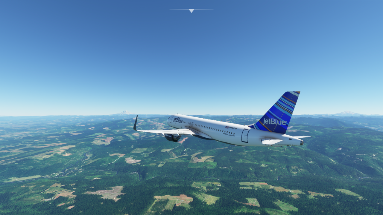
I think that’s Mt. Rainier…?
2 Likes
It doesn’t look like Mt. Rainier (which is farther north). It is probably Mt. Hood. Nice shot though!
1 Like
Would Rainier be the one on the right? Which, funnily enough, I didn’t notice was there until I saw you said Rainer was farther north!
It is a bit hard to tell without knowing where you are, but the volcanoes go like this. From KPDX north, you have: Mt. St. Helens and Mt. Adams (at about the same distance north–Adams is east of St. Helens), Mt. Rainier, and finally Mt. Baker (near the Canadian border). Glacier Peak is the other volcano in the mix (between Rainier and Baker), but it is a bit harder to pick out since it doesn’t really stand on its own like the others. South of PDX you have: Mount Hood (to the east), Mount Jefferson, The Three Sisters, Mount Bachelor, Crater Lake, Mt. Lassen, and Mt. Shasta. There are probably a few others in there as well, but those are the major ones. Mt. Rainier is the tallest of these at 14,410. Mount Shasta is also a 14er.
1 Like
When Mt St Helens blew in 1980, it lost about 2000 feet of it’s height. If you look closely way too the right, the short rounded mountain looks close to it. From the north, it’s got a large open maw, that got blown out too. Mt Rainer is north and east (somewhat south of SEA. Mt Olympus is way further north and to the west over on the rain forest. Nice picture though.
1 Like