I am on a big tour around Brazil these days … and it is an amazing country with fascinating landscape.
But there is one thing that I noticed which is really “puzzling” me.
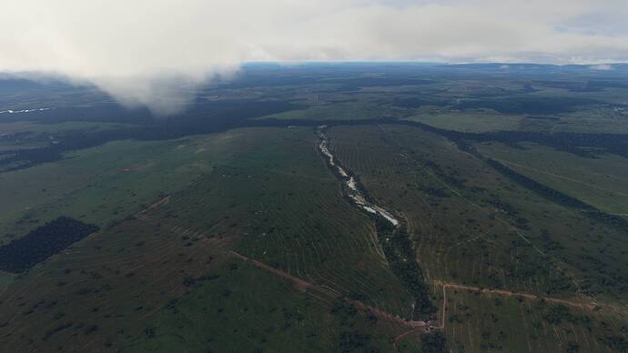
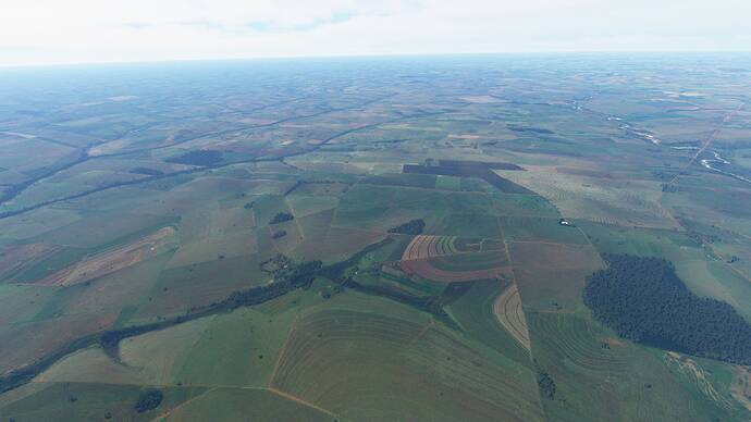
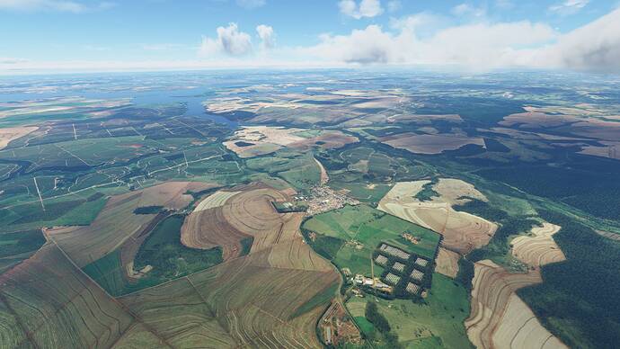
I have the feeling that the “elevation” map (lines) are “baked into the landscape” (perhaps into the satellite images ?)
Here is one example from my todays tour from Corumba (SBCR) to Sao Paulo (SBSP) …
… and there are countless others … it is everywhere … many even way more “extreme” in the clarity of those lines.
I can see similar ground structures in Google maps images so it clearly is not a MSFS / Bing “issue”.
It could be a very specific feature of the soil in that region … I think I heard once that the humus layers are not very think, so the underlying rocks might cause very visible differences in the water carrying capacity … which then is reflected in vegetation … or whatever.
So my question is mainly … is anybody here from Brazil?
… and do you see those lines in the real country side too?
MSFS is a truly fascinating way to explore spaceship Earth.


