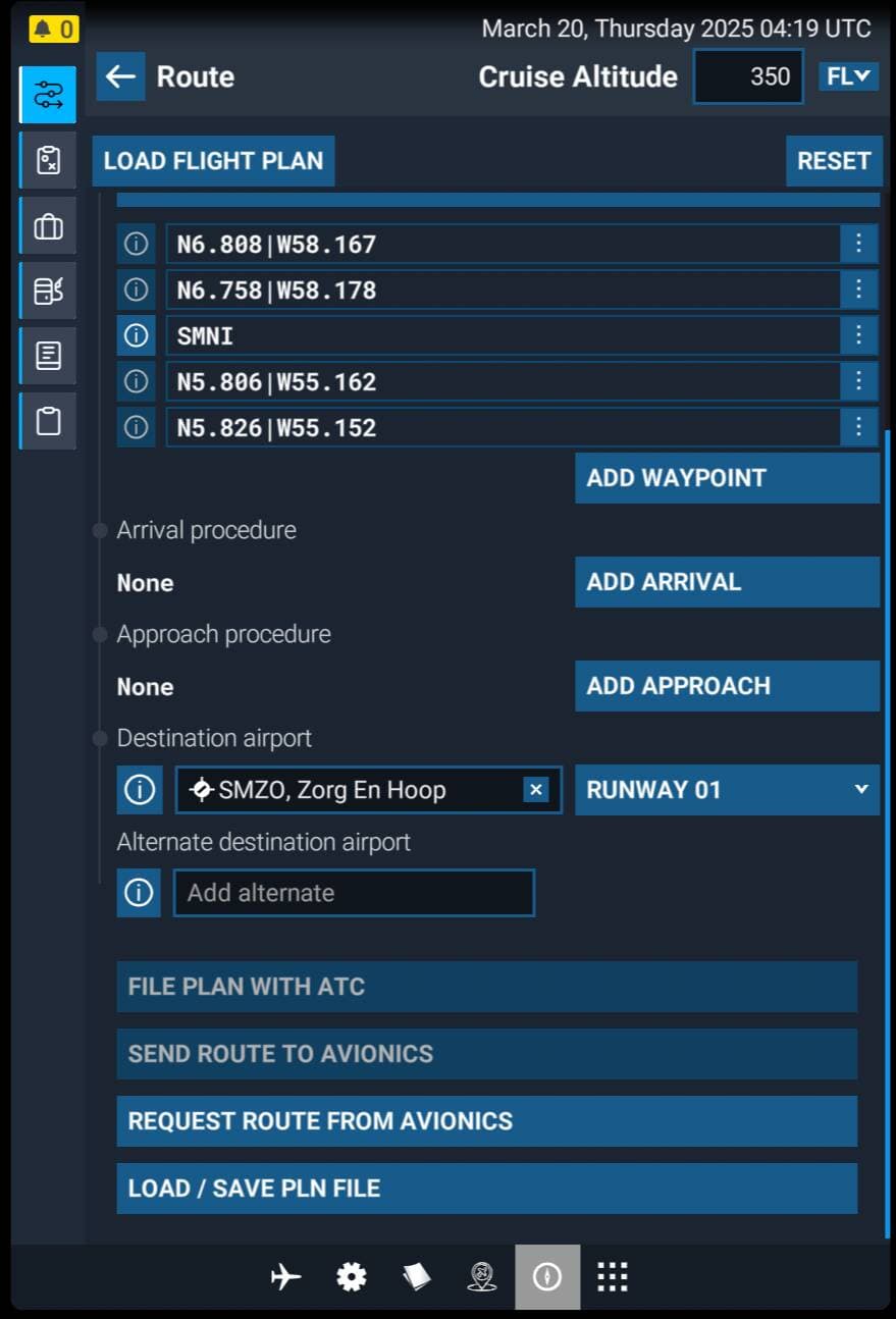
I cannot get the G5000 in the default C700 to accept LAT/LONG waypoints. So when flying North Atlantic tracks, I am unable enter 50N 160W (not the format to the left, but the actual properly formatted data). I routinely fly oceanic routes in PMDG aircraft, and the FMS format is different in each of the earth’s quadrants-- (e.g., 50N 160W becomes 50N60, 50S 160E becomes 50S60, etc.) but I cannot find a format that is acceptable in the G5000.
Do you have a Navigraph subscription?
Create the flight plan in Simbrief and then import it and see the format it uses?
Just a thought.
Dont know if the actual G5000 instructions help in MSFS? Try it
Yes, I do use Navigraph and Simbrief. I will try importing a flight plan the next time I have a plan with LAT/LONG waypoints.
Thanks for the G5000 instructions. Interesting. They use the same formats as the FMSs modeled by PMDG, Aerosoft, etc. But these formats are not acceptable to the MSFS G5000. If I really need to, I can always create custom waypoints and use them (I think ![]() )
)
Yea, give the import a shot then you can look at it on the G5 and see how it’s formatted so you know when inputting by hand.
So MS or Asobo designed a G5000 that cannot accept lat & lon coordinates?
I did “solve” this problem today. Flying from LPAZ to TXKF with 2 lat/long waypoints, including 37N040W. My first try was to use the normal notation for locations in the north and west hemispheres. So that location becomes 3740N, and the G5000 took it. Perhaps earlier I was shifting back to letters from numbers before entering the hemisphere. Today I stayed in the numbers page and added the “N”, also from the numbers page (there is a N, S, E and W on the left side of the numbers page).
Not sure how I had a problem earlier, but this now works. I might add that if you lay out your route using SkyVector, and click on the lat/long waypoints you want to use it will display the waypoints in the correct FMC format (i.e., 37N040W is displayed as 3740N, 50S160W is displayed as 50W60, etc.). This is the same format used in the PMDG FMSs as well.