Do you have any add-ons in your Community folder? If yes, please remove and retest before posting.
No
Are you using Developer Mode or made changes in it?
No
Brief description of the issue:
Hello Community
I was flying over my home town (as maybe all of us do from time to time) and I want to share my thoughts about Scenery issues around the City of Leipzig. As I was raised in the east of the city, it will be mostly those parts. From time to time I fly over this area in real life and over the years I found my favorite VFR landmarks for orientation. Some of them are missing or depicted wrong in the sim.
As I did not find anything related to it yet: Any additions are welcome!
I did not create any Zendesk topic, yet. It seems to me, that the ticket system is more appropriate for software bugs and glitches. Correct me if I am wrong.
I also read about using 1 thread per issue, but I did not want to spam the forums. If multiple threads are wished, I will of course edit and split the requests.
I put the google maps coordinates above every entry. If pasted into maps you should find the locations easily
Greetings
Stru(u)ppey
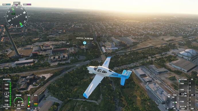
(1) POI Location of the City located too far to the South
Please relocate the Marker to the real City Center (I would suggest Augustusplatz or Marktplatz at 51.34071695597377, 12.3747782889205)
(2) Antenne at 51.3136426656268, 12.392891064209048
This 191m Antenna is (unfortunately) now the tallest building in the Area… It does not appear in the game (maybe due to its construction in 2015 and the satellite image being older)

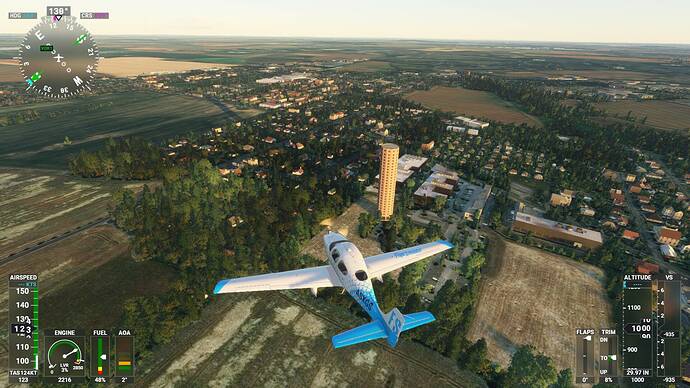
(3) Funkturm Holzhausen 51.31675658894011, 12.448203739100503
This 132m high Radiotower is a prominent VFR Landmark in the Area appears more as a strange living tower in the Sim

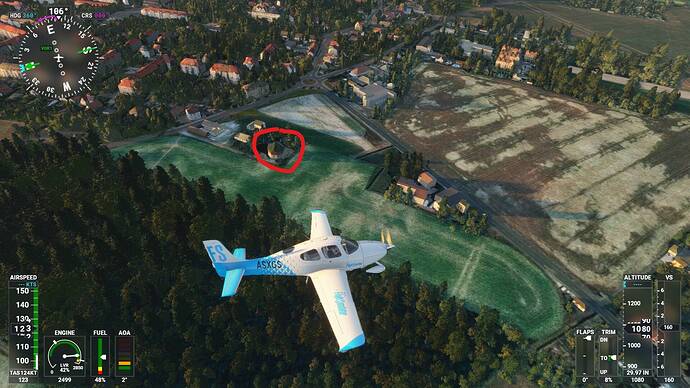
(4) Wasserturm Engelsdorf 51.33164644365657, 12.479244439185019
Another prominent historical landmark is this old watertower (48m tall and built in 1913), which is a small building in the sim.

(5) Bergkirche Beucha 51.324140711808695, 12.566251156084233
This over 700 year-old church is on top of a hill, surrounded by a stone quarry. The quarry was flooded, forming a heart-shaped pond. The hill itsself is 20m higher than the surrounding, giving some unique photo opportunities in the area. It appears a bit flat in the sim.


